Traditionally, Easter is a time when we go tramping in the West Coast mountains, but this year the appeal of autumn colours, settled weather and good company in Central Otago was hard to resist, as was the temptation to ride some freshly built up frames.
This trip was to be a nearly 400km loop, starting in Cromwell, and taking in the Nevis Road/Duffers Saddle, a large section of the Around the Mountains cycle trail (Garston to Walter Peak) Queenstown, Crown Saddle and then the full length of the Pisa Range, with an easy ride back along Lake Dunstan to Cromwell. There’s a map at the end of this post, but you can also see it (and download a GPX) on Ride With GPS.
This route has the appeal of being almost all on dirt roads or cycle paths, with plentiful resupply and even some huts along the way, two of which we slept in. With 6262m of elevation gain we’d be doing plenty of work, but the reward for that were some fantastic views of the Central Otago and Southern Lakes heartland, which has quite a ‘continental’ feel to it, with long valleys and broad ranges that are distinctive for their uniform tussock cover and schist tors. At times we felt as if we were riding on the USA’s Great Divide or the Peruvian altiplano.
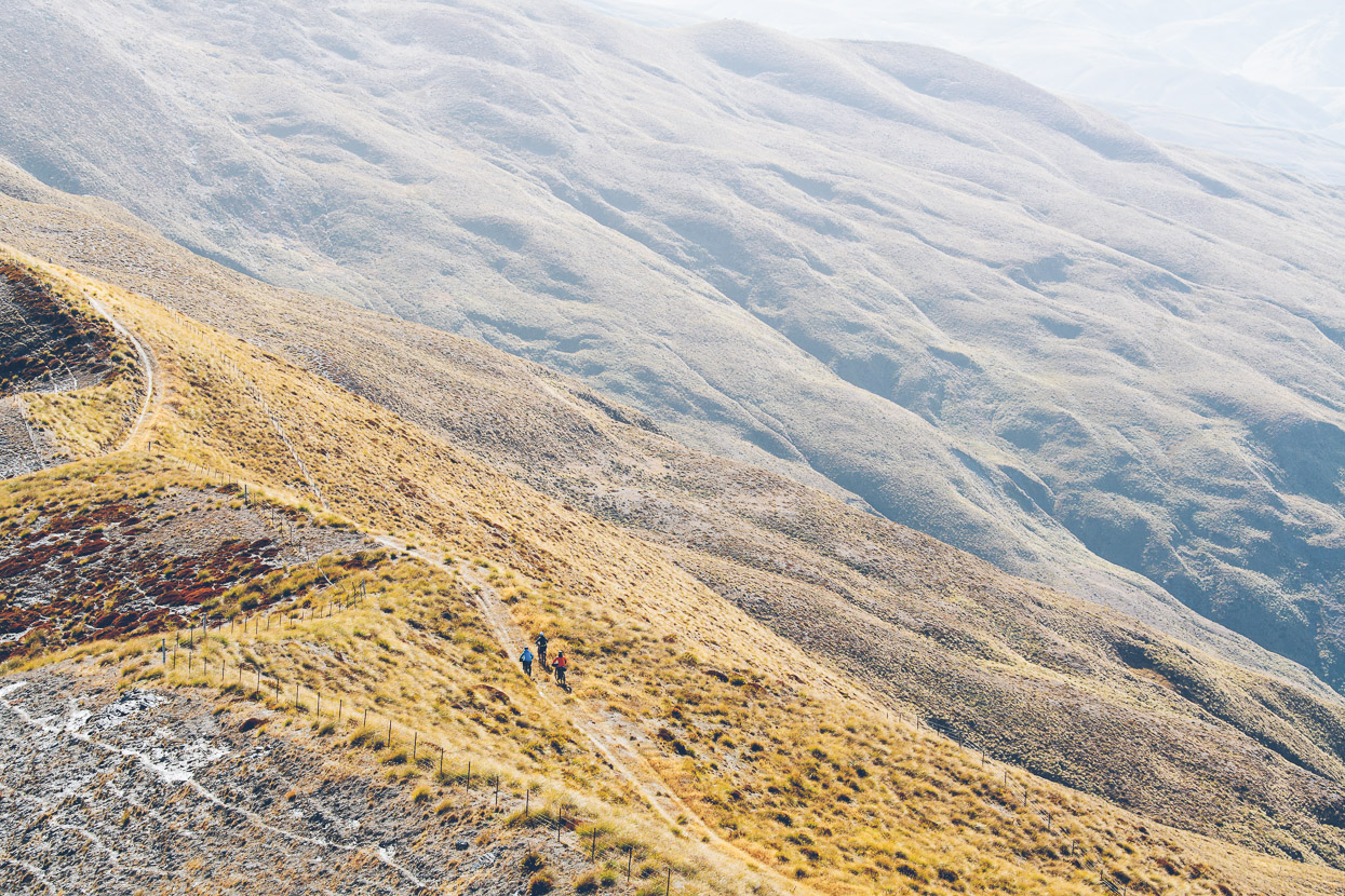
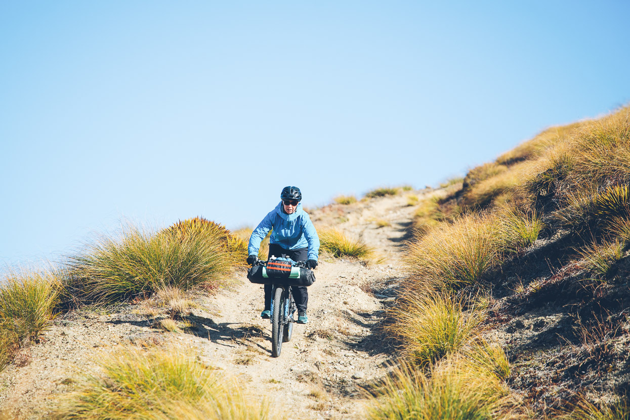
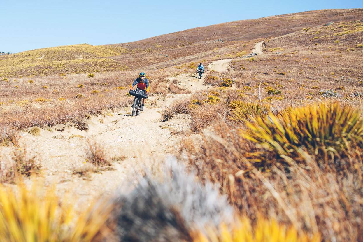
The views were not the only prize though, because some of the riding itself on 4WD and flowing double track was just fantastic, especially the Andean scale 1650m descent off the northern end of the Pisa Range.
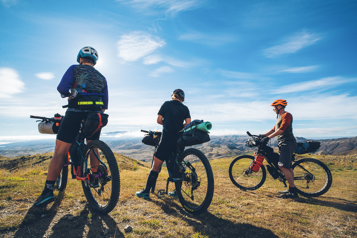
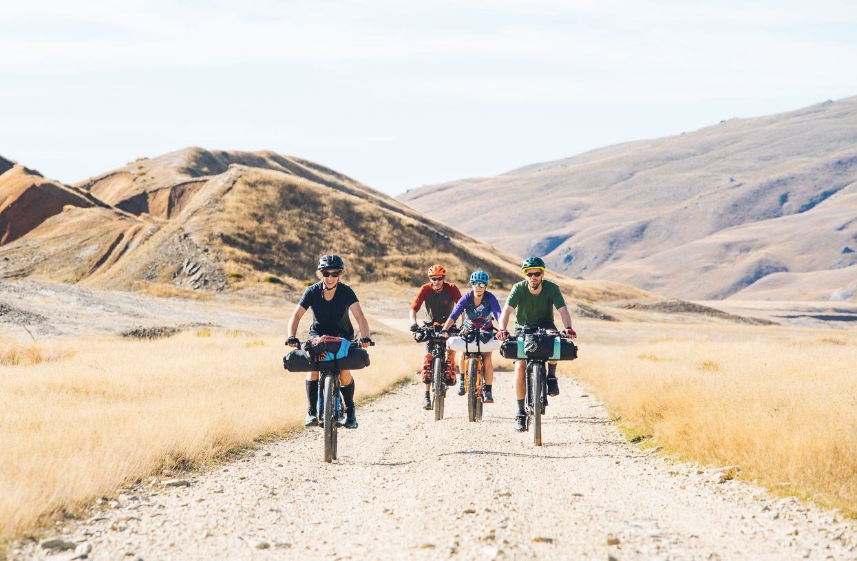
We were a crew of five, with regular riding partners Anna, James and David.
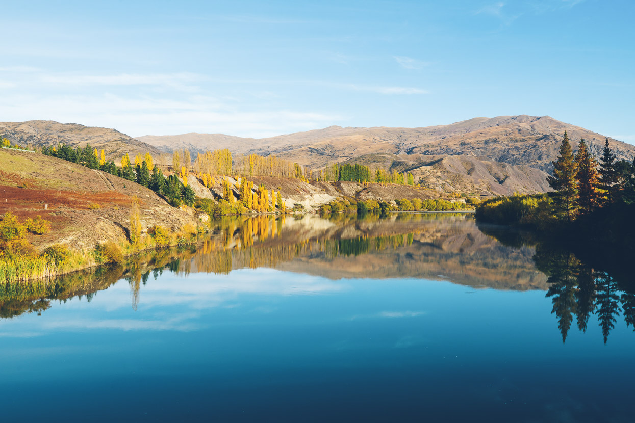
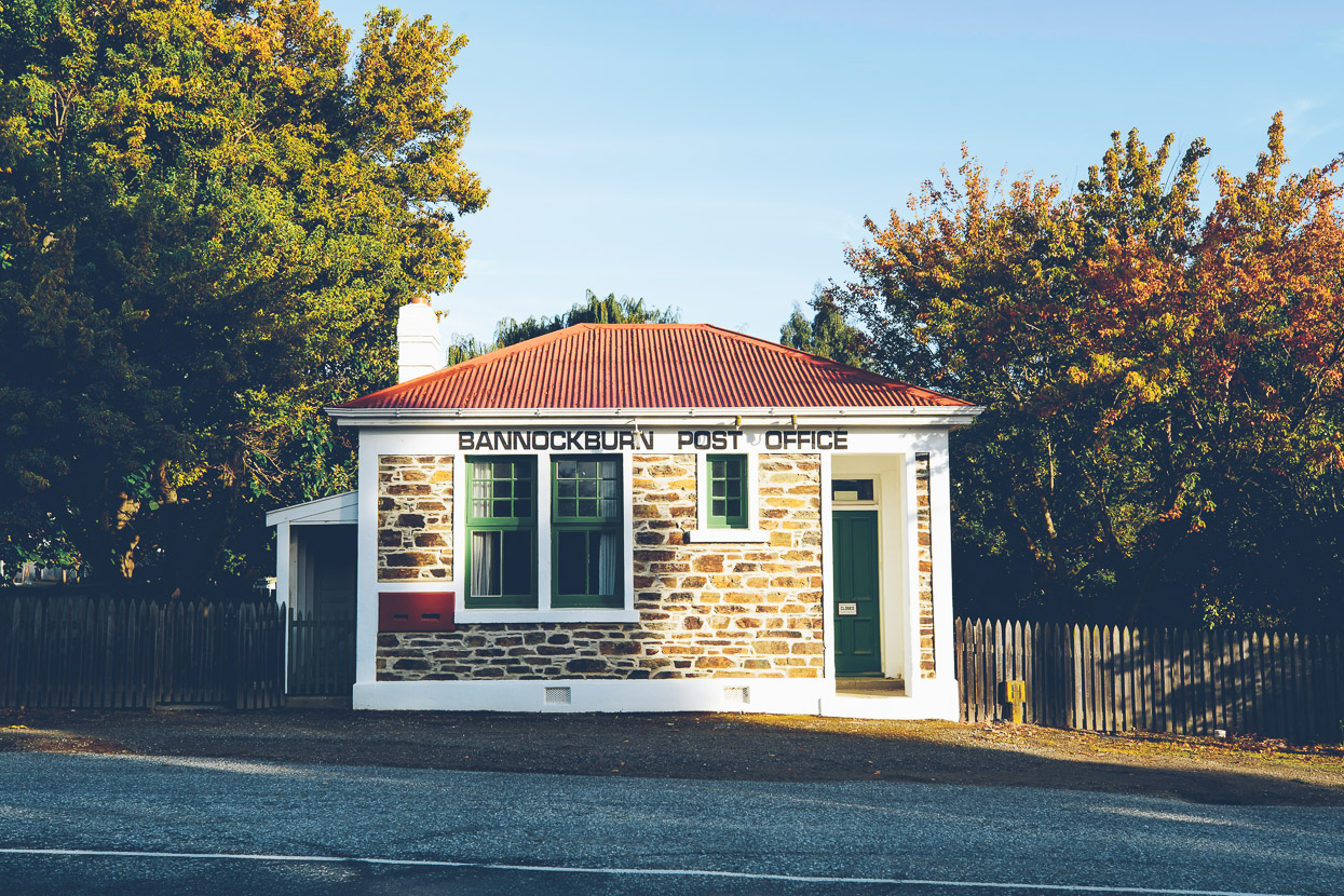
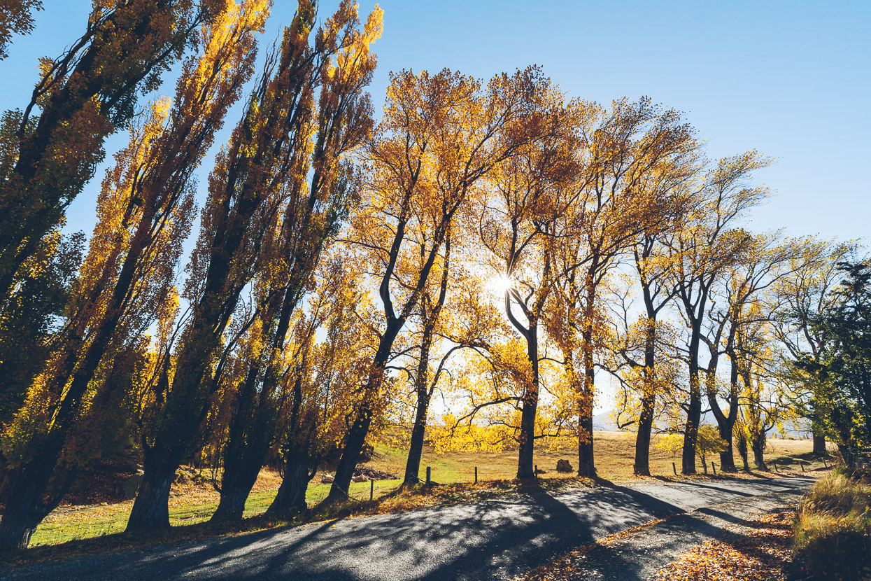
Autumn colours were in full swing as we rode out of Cromwell and followed cycle trail alongside Lake Dunstan. Then came 6km of paved road past Bannockburn to the base of the Nevis Road climb.
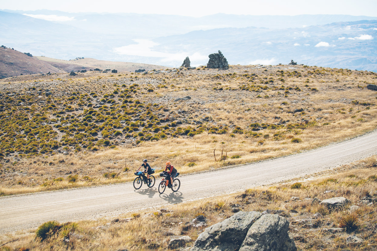
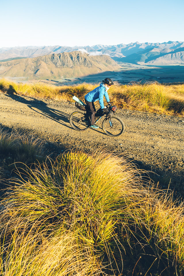
You don’t need to get far up the 900m climb to Duffers Saddle before the views begin to open up. A cold clear Otago morning soon gave way to a hot and windless day.
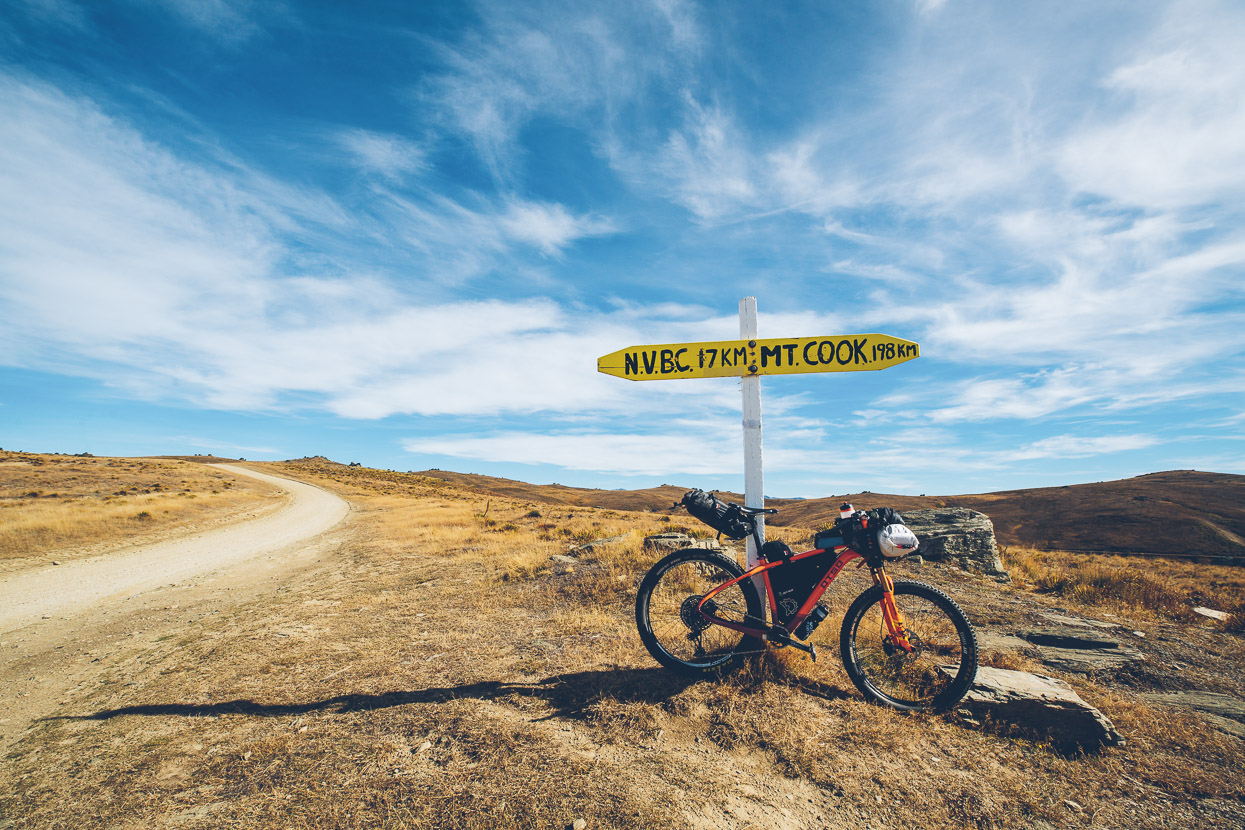
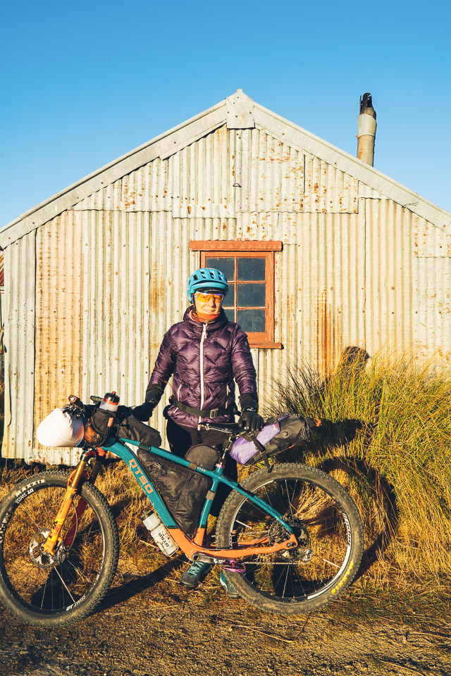
It was even clear enough to see a distant Aoraki Mount Cook, but I was clearly distracted, taking photos of my new Otso Voytek frame, which replaces the very well used one first supplied to us by Otso back in 2019, when we were in Peru. This one is a more photogenic colour I must say!
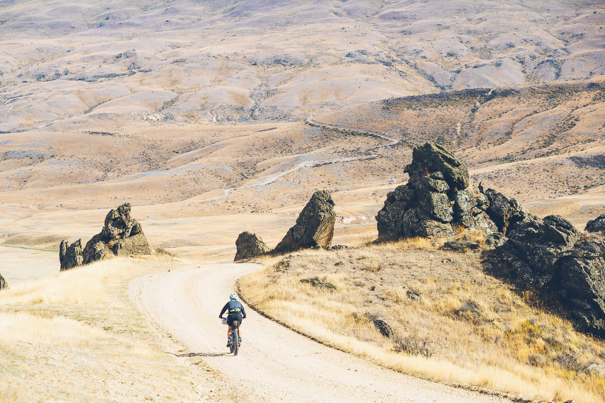
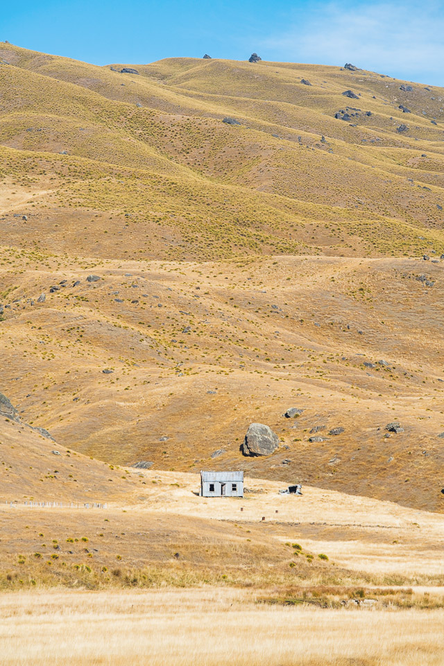
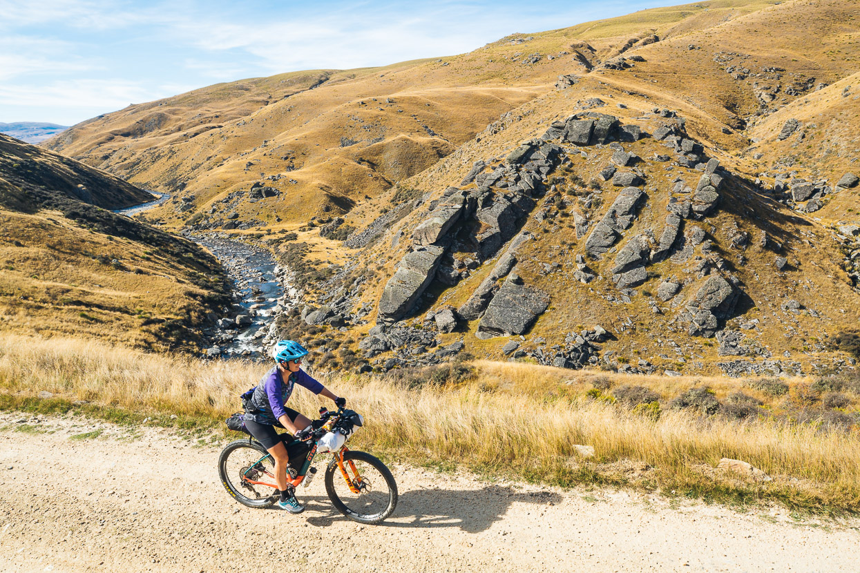
The Nevis Road is the highest public road in New Zealand, and once past the high point of Duffers Saddle (1255m), it descends rapidly into the tussock covered sprawling back country east of Queenstown’s famous Remarkables. It’s rugged high country farming land, sometimes impassable in winter and subject to some frigid conditions.
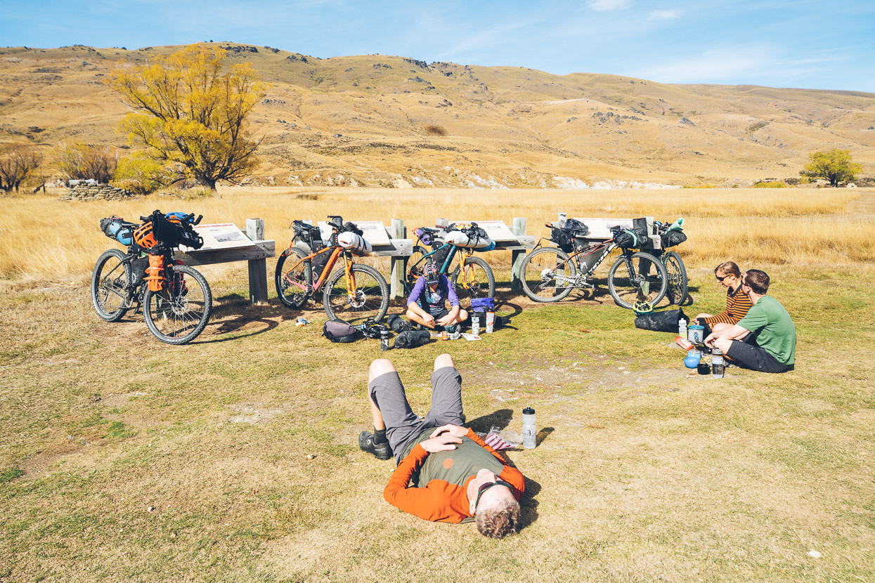
Aside from one group of motorcyclists and a couple of 4WDs we had the place to ourselves. Lunch was taken at the bottom of the main descent, after we rolled into the valley flats surrounding Ben Nevis. This country is rich in pioneering history and a few interpretation panels told the story of long gone mining and farming settlements.
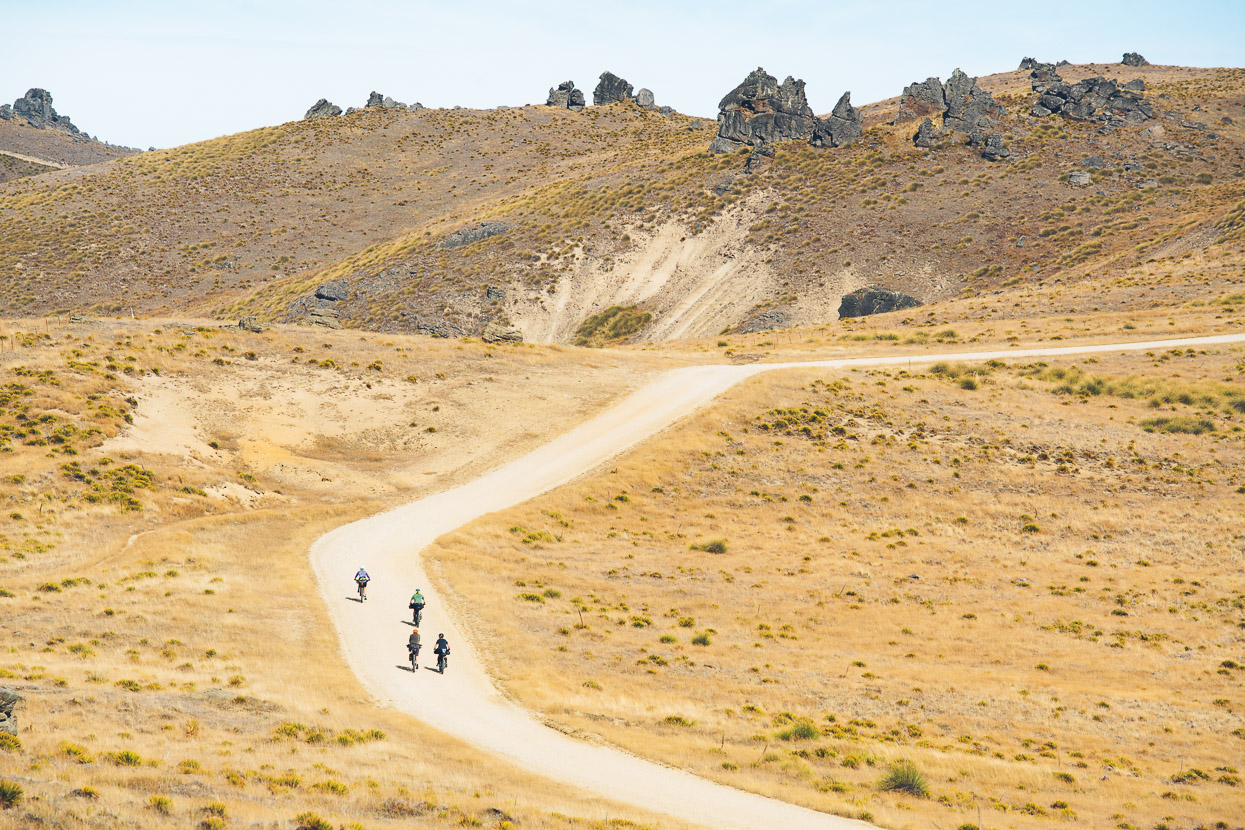
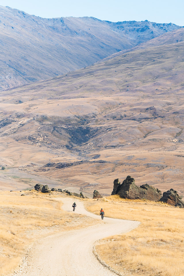
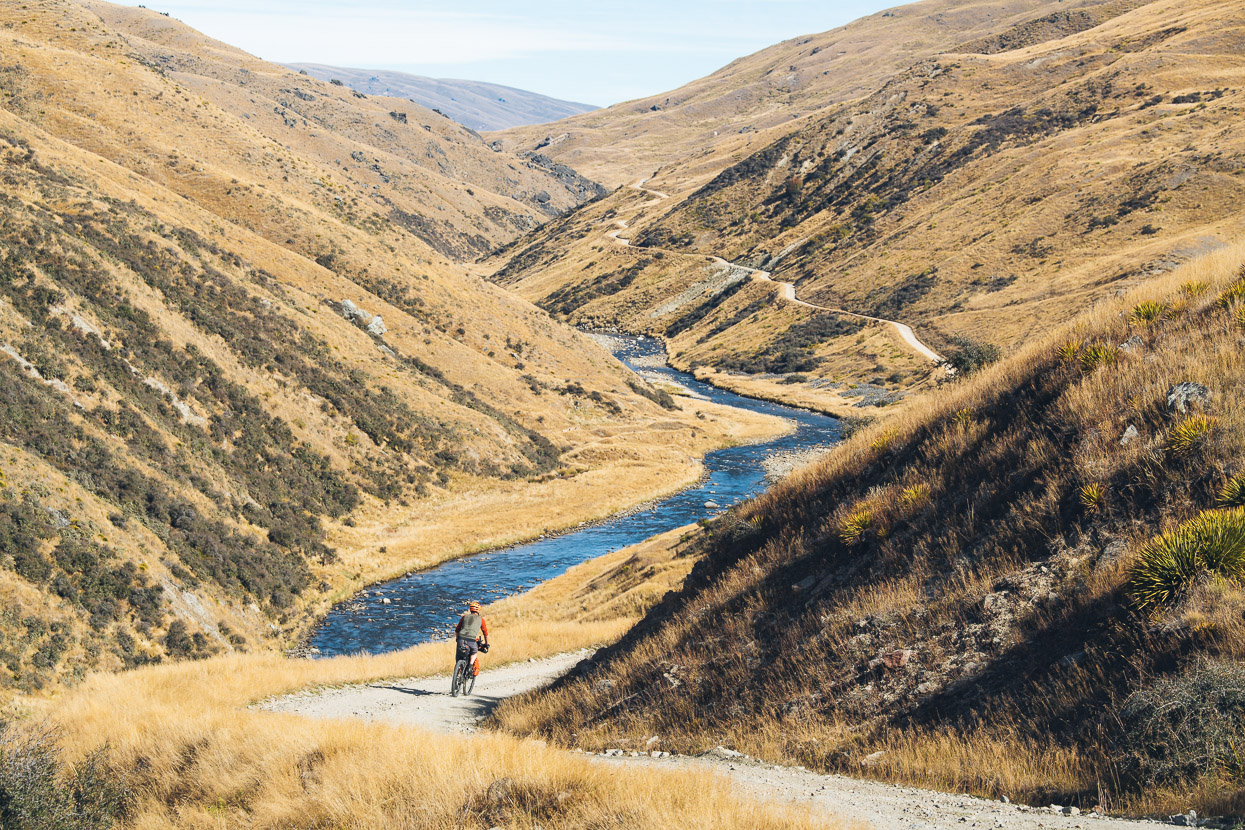
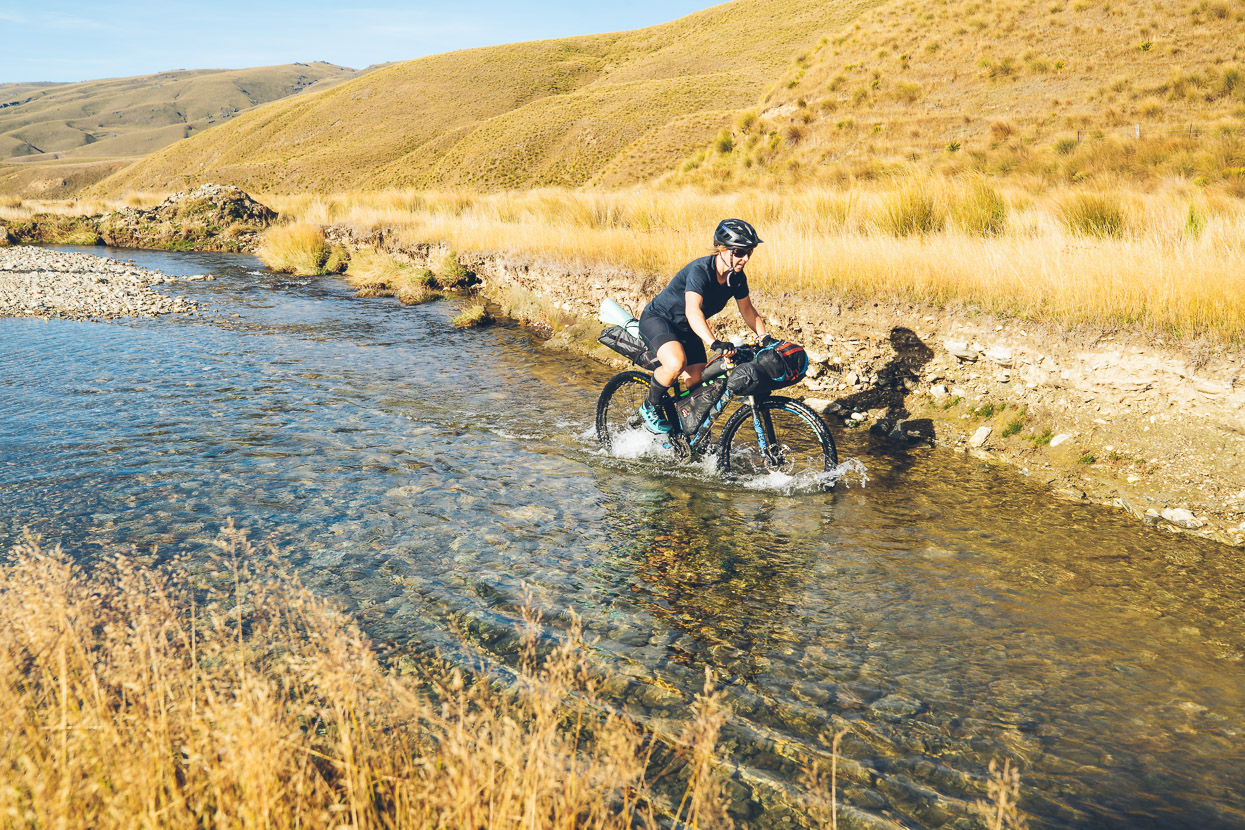
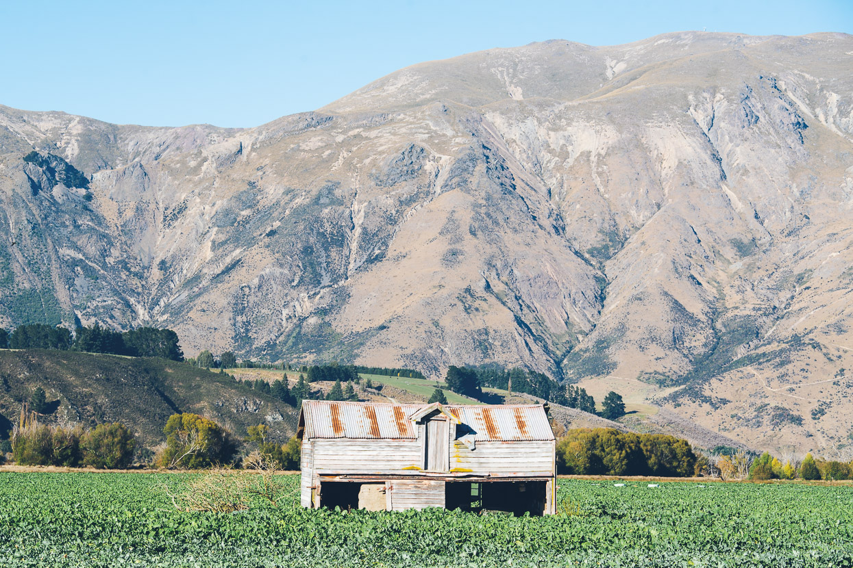
Beyond Ben Nevis and Schoolhouse Flat the valley narrows and the road climbs and dips, following the contours of the land.
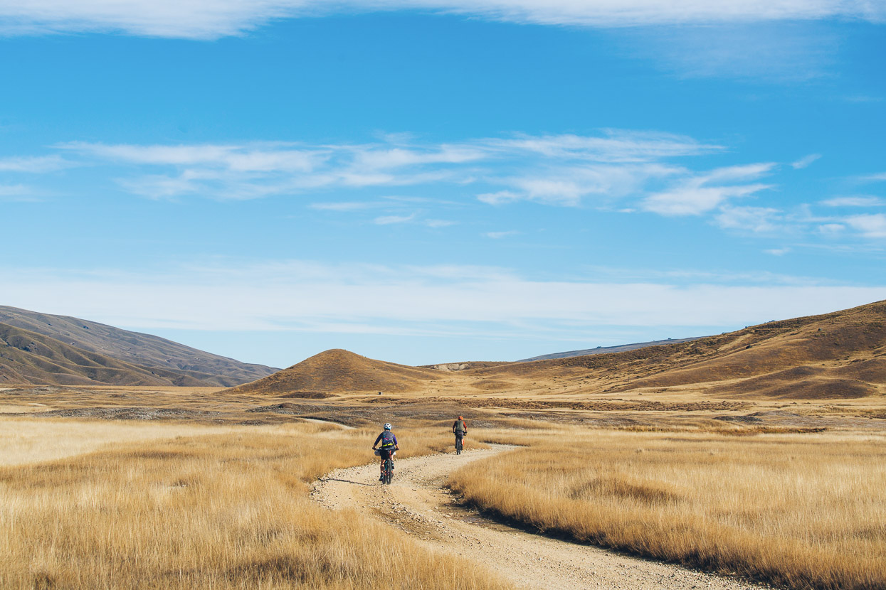
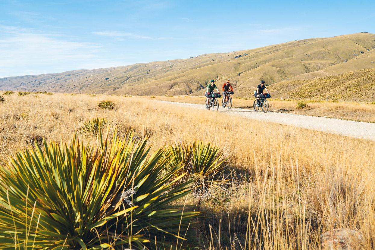
And then we came out onto easy flats again, following grassy uplands between the Hector and Garvie mountains.
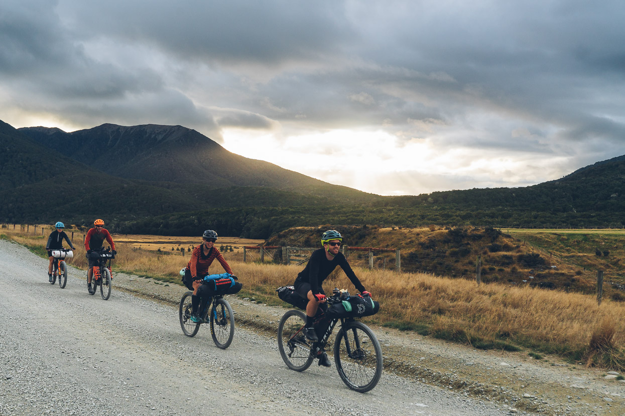
It was warm and calm, and we enjoyed riding on into the afternoon with a hut for the night to look forward to.
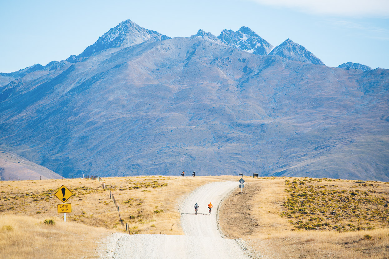
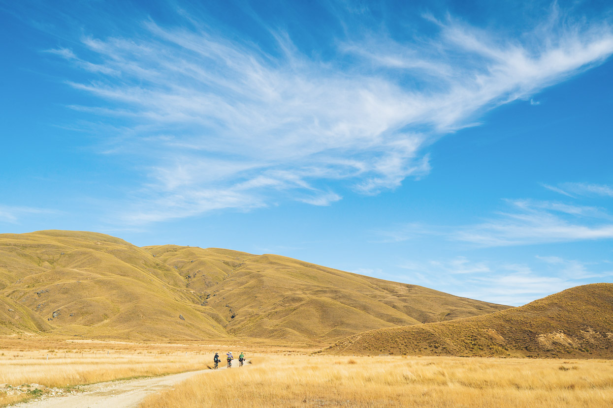
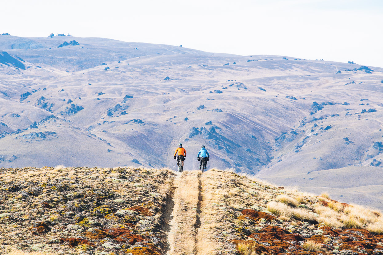
Further in, it begins to feels more remote.
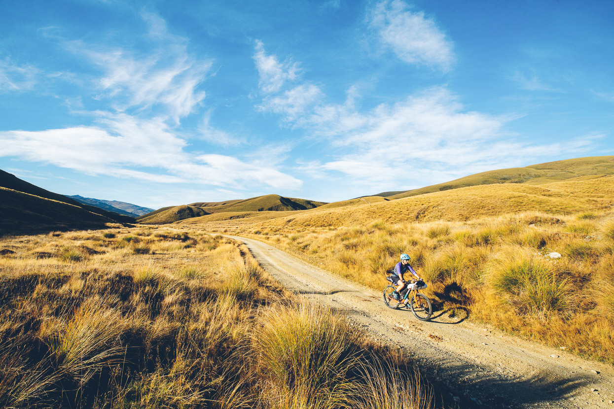
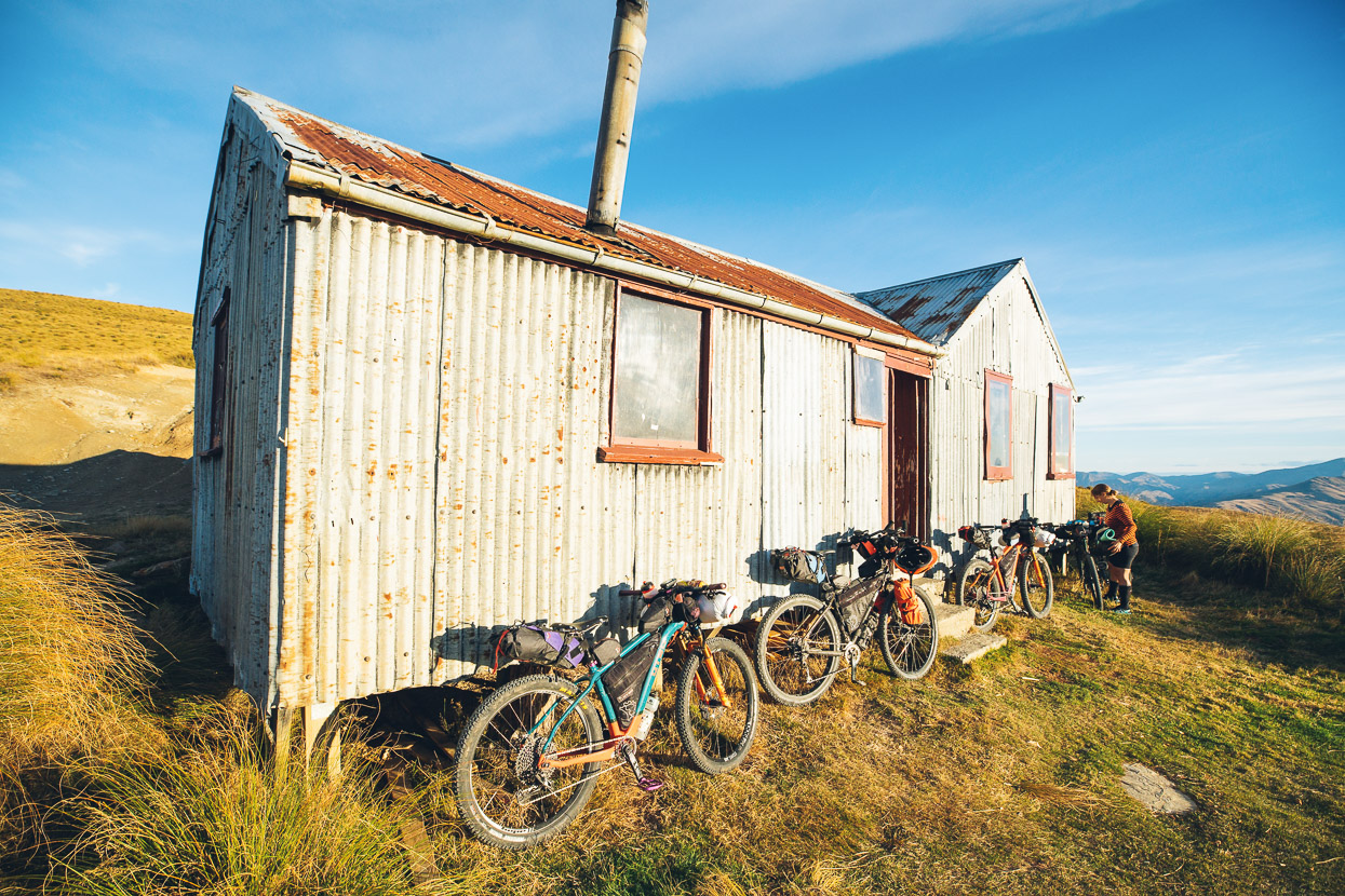
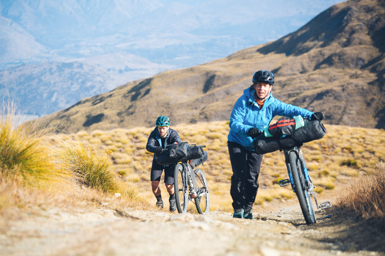
The shorter days of this time of the year bring lengthening shadows sooner than we expected, but the late afternoon light is stunning. We’d been riding uphill all afternoon, but there was a sting in the tail, with a final 200m vertical of steeper climbing to reach the hut.
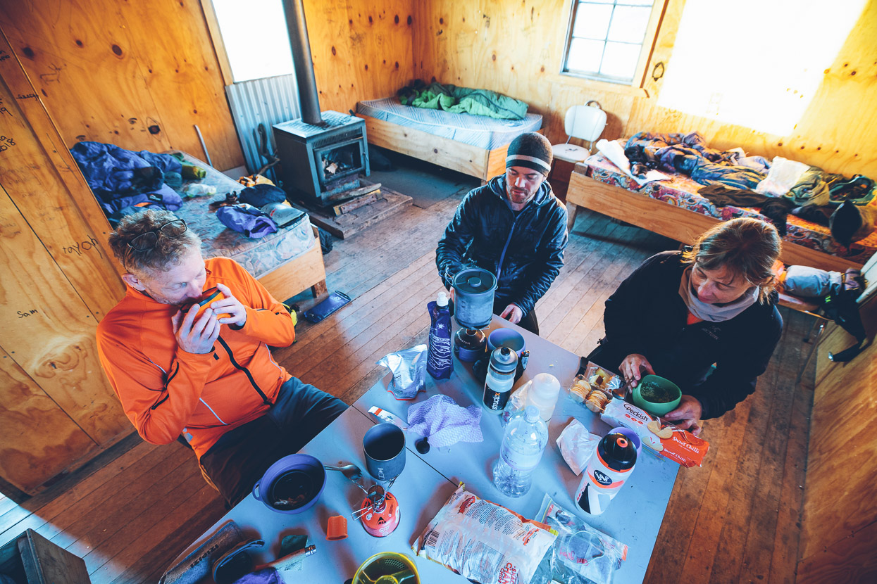
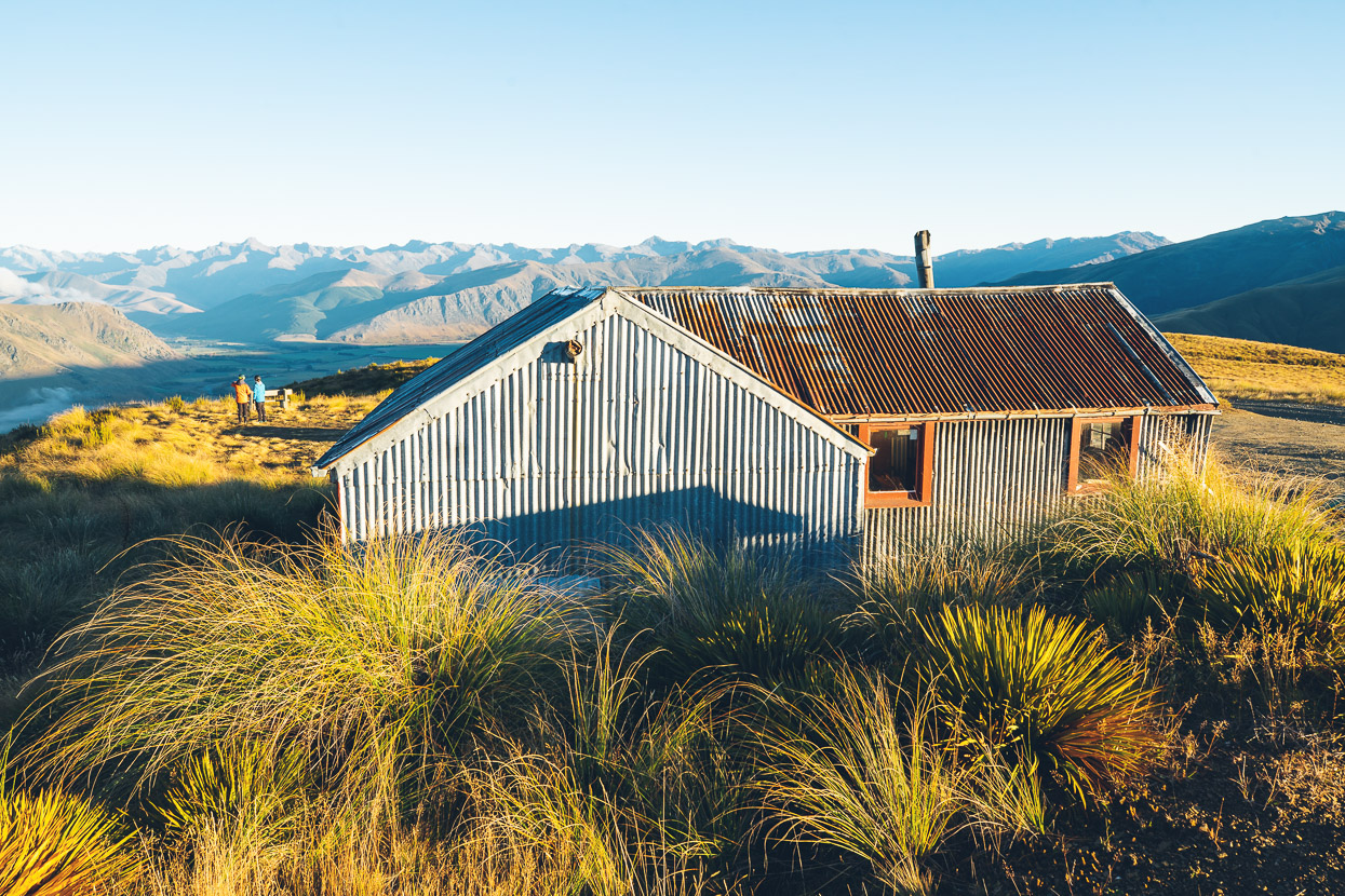
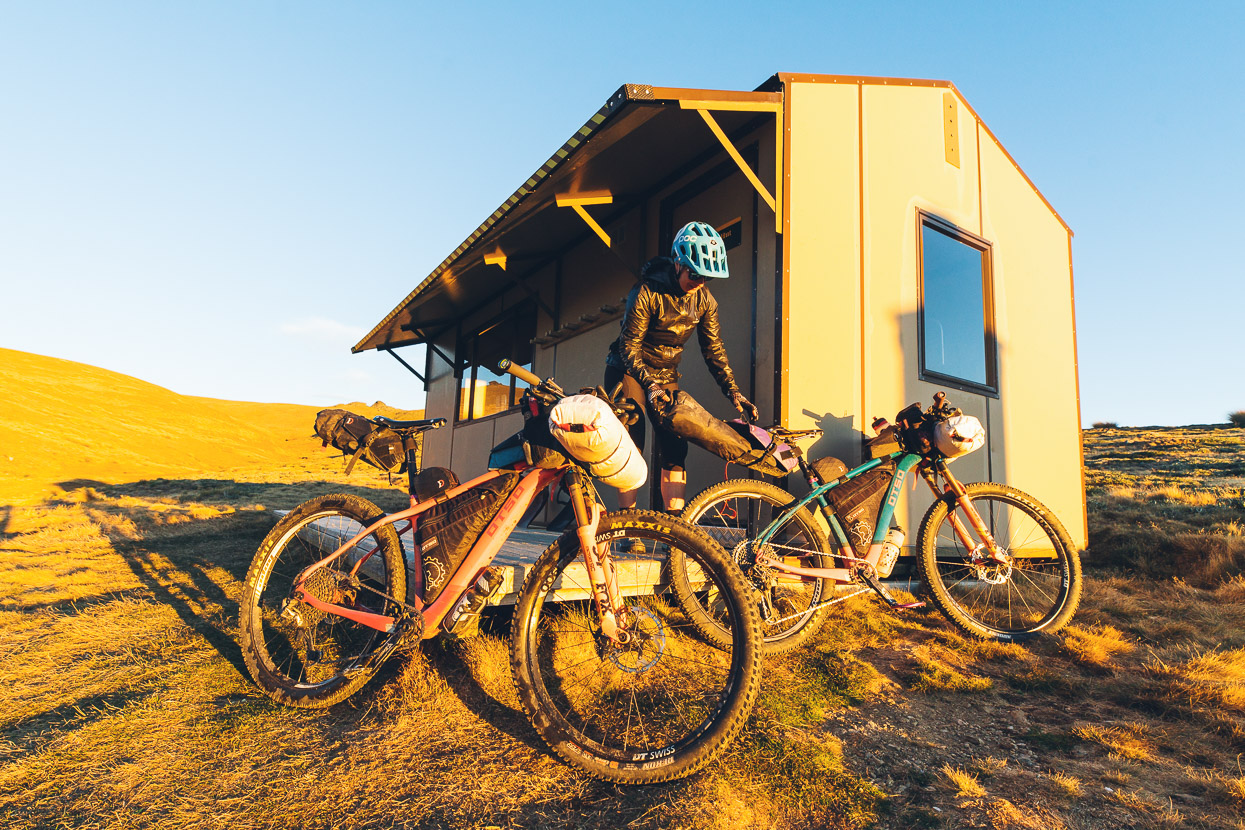
Garston Ski Hut is a great bit of history, having been built by the Southland Section of the NZ Alpine Club in the 1930s. These days the hut’s managed by DoC, but being on a public road it does suffer the usual abuse from idiots. Many a bikepacker has sought refuge in this rustic building and we were happy to have the shelter for the night, along with a mattress each!
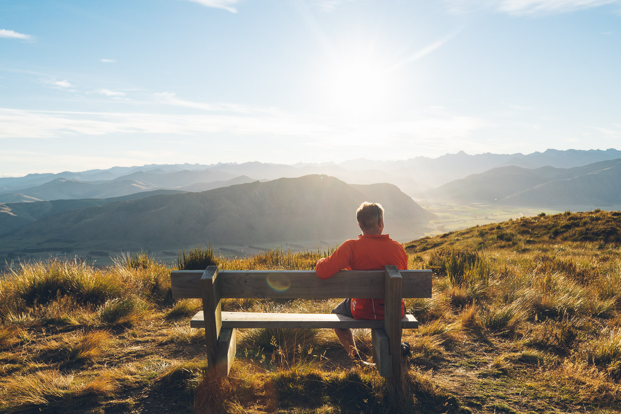
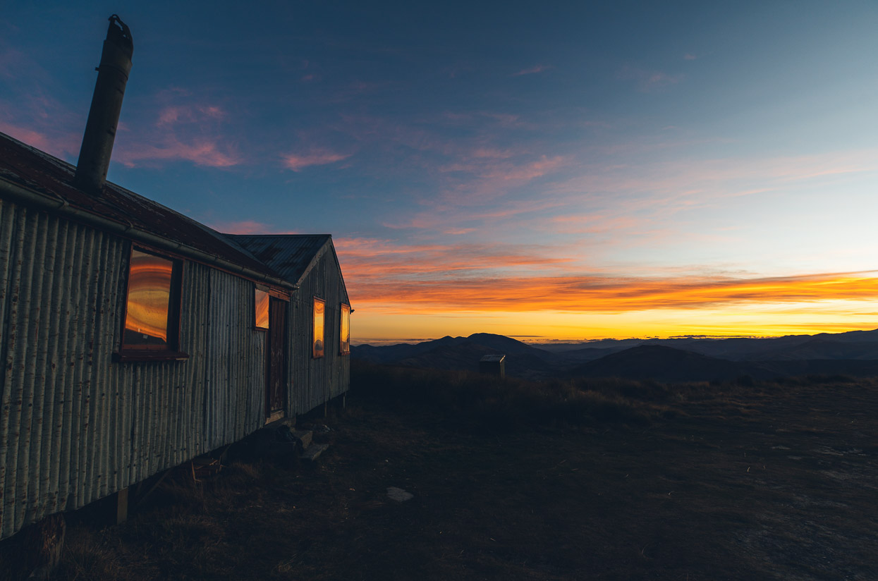
The view to the west and south from here is stunning, as was the sunset.
The night had been relatively mild, but dawn brought temps close to zero and another perfect clear day.
We rugged up for the fast descent down to Garston on the main road.
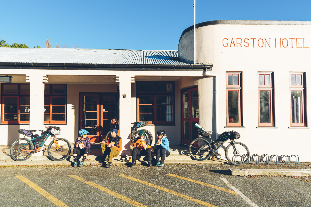
And after only 20 minutes of riding time were sunning ourselves and eating a cheeky second breakfast of bacon butties from a food caravan.
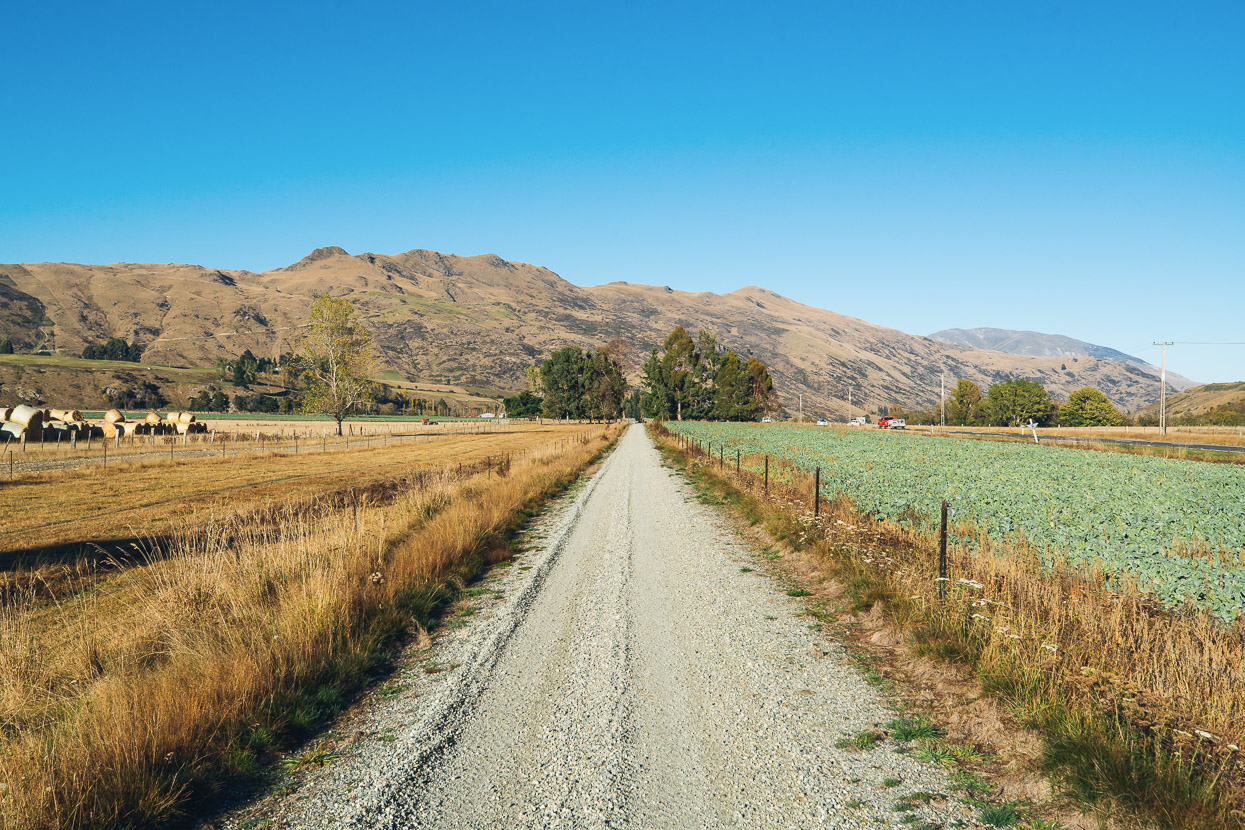
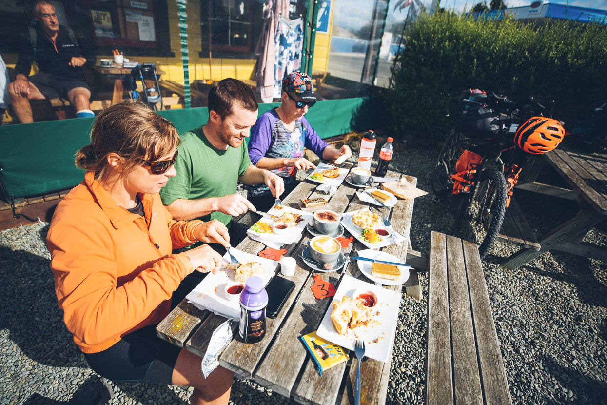
There’s not much to report from the rest of the morning’s ride, as we followed the Around the Mountain cycle trail through farmland towards Mossburn, where we had a great cafe lunch, with venison pies all round.
While the morning was a cruise, the afternoon was a battle, as strengthening NW winds gave us a headwind for most of the 55km to Mavora Lakes.
We found a quiet spot on the shore of the southern lake shortly before dark and set up camp for the night. We were aiming to be up very early the next morning in order to ride the 52km to Walter Peak Station, on the shore of Lake Wakatipu, in time for a barge to Queenstown we had booked.
It was raining when we woke and broke camp, and the first hour or two of riding, at first in the dark, and into rain and a stiff headwind was a bit grim, hence the lack of photos.
I’ll have to go back there in the dry one day, as the Von Road covers some really nice country as climbs gently and then descends to the lake.
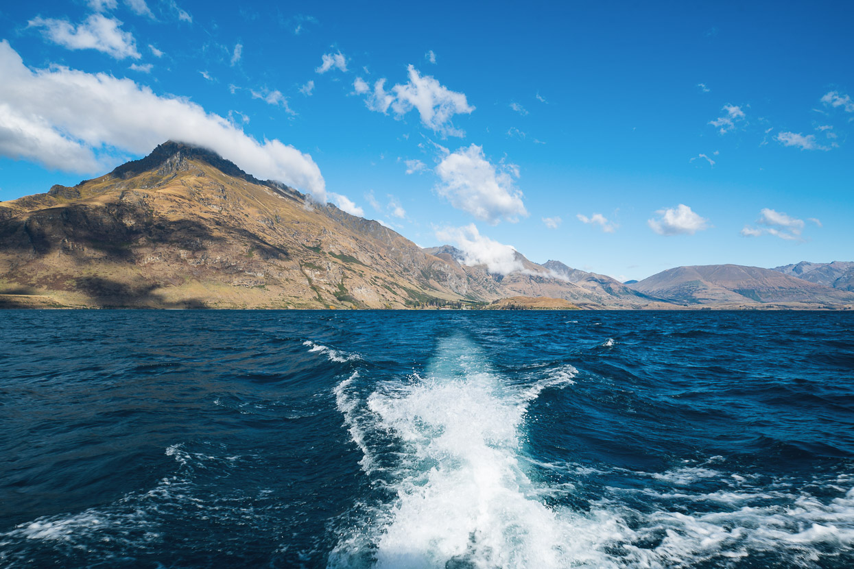
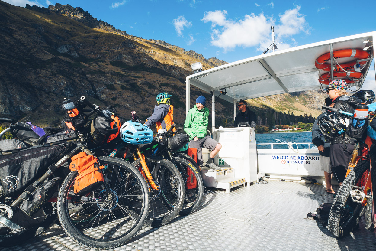
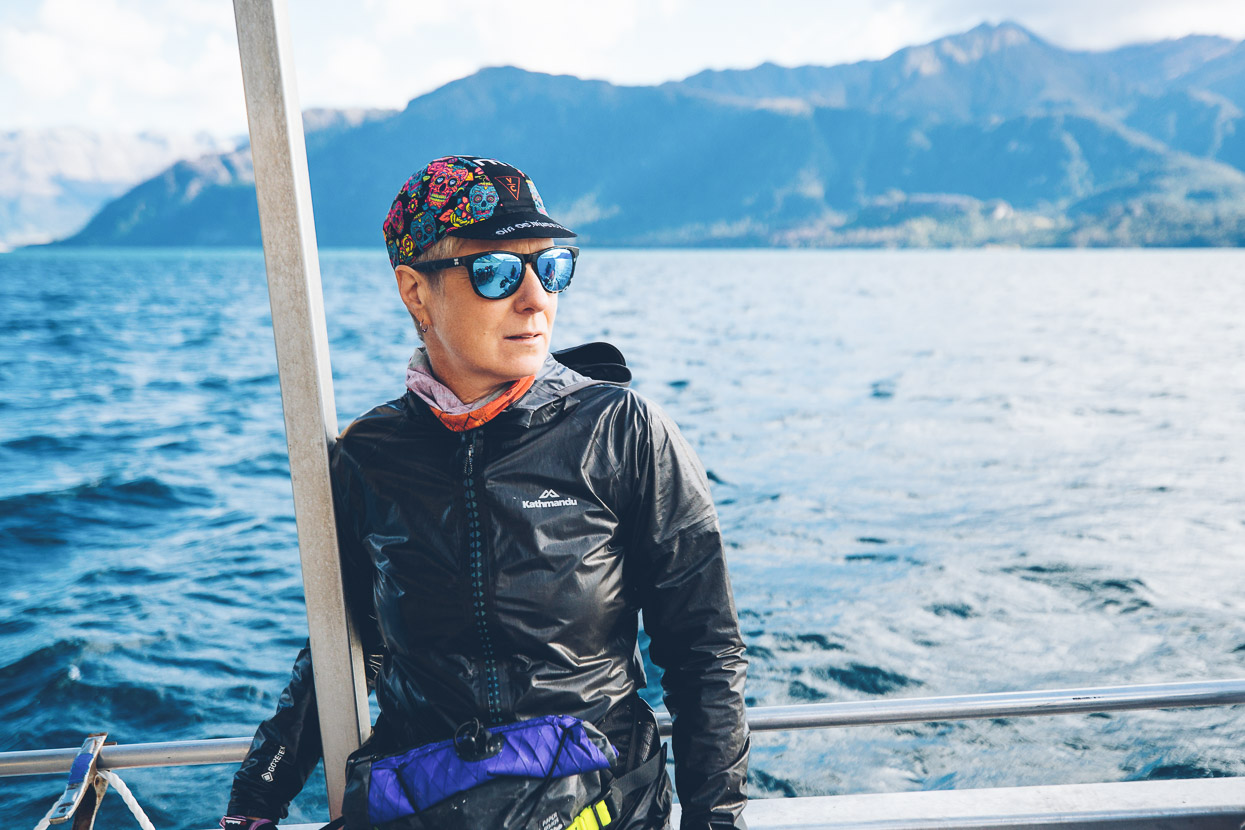
We arrived just in time for our barge, which whisked us off across the lake under rapidly clearing skies. The barge is not cheap at $100/head, but it does offer flexible schedules, unlike the TSS Earnslaw.
Queenstown was a culture shock, even though we’d only been on the road two and a half days. The bars, cafes and waterfront were busy with tourists enjoying the Easter weekend, but we did as bikepackers do and took over a large al fresco cafe table so we could dry our stuff in the sun and air our wet feet.
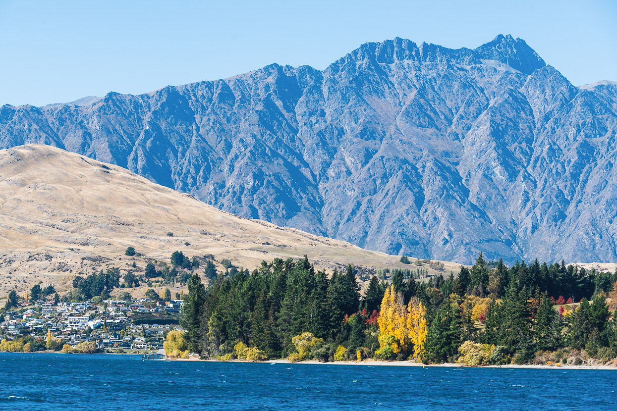
We were now on the opposite side of the Remarkables and Hector mountains which we’d paralleled in the Nevis Valley two days earlier.
The Arrowtown camping ground was our destination for the night, so after the morning’s rainy start and urgent pace we took it a bit easier on the afternoon’s ride, following Queenstown’s great cycle path network up to Arrowtown for a resupply, pub dinner and a tent site.
Our mission for the final two days was to traverse the length of the Pisa Range from south to north and then ride back to the cars in Cromwell. The Pisa is an icon of the central Otago landscape, stretching between Wanaka and Cromwell. It’s the unmistakeable crag-dotted, broad, dun coloured mountain range to the east as you drive along the Crown Range road or to the west alongside Lake Dunstan. Thousands of people drive along its base every year, but few ever see what the top of it looks like.
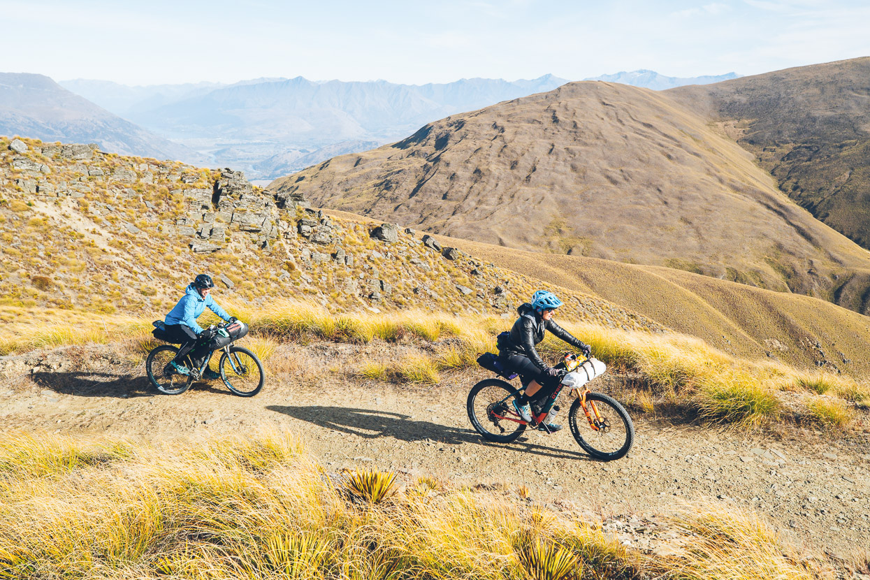
From a sub-zero start in Arrowtown, we at first followed cycle path and dirt road onto the Crown Range road, and then climbed that to Crown Saddle, by which time we were finally warmed up. From Crown Saddle you cross a stile and follow a double track that climbs steeply up towards Rock Peak.
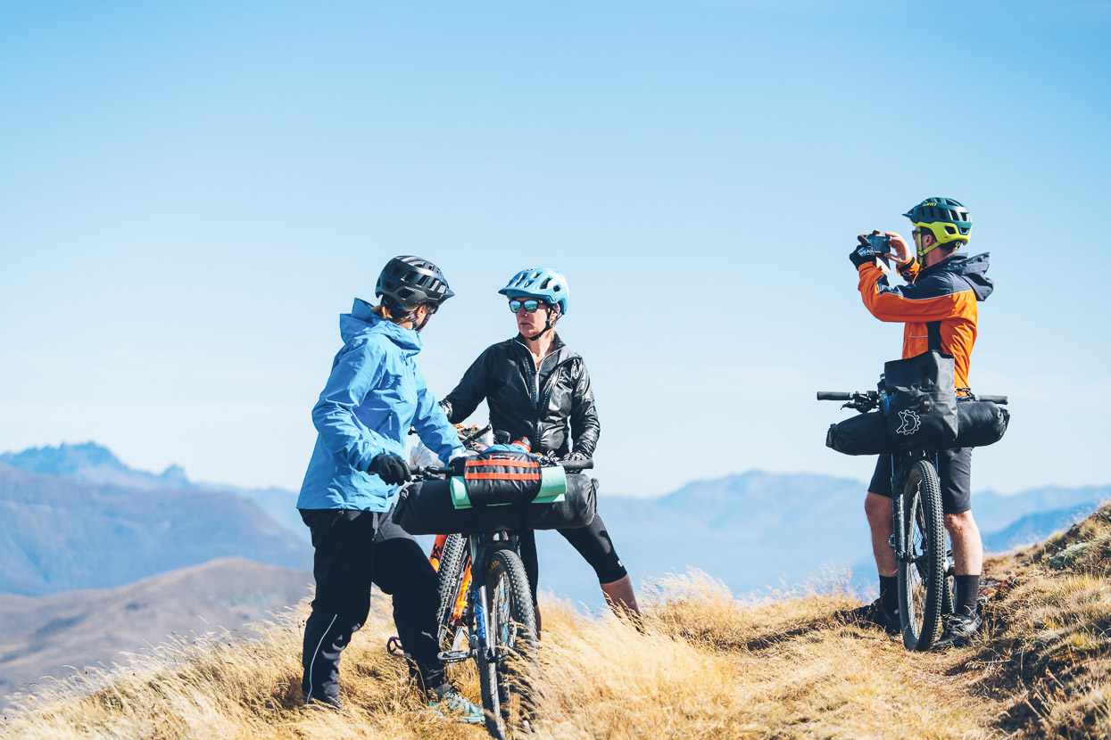
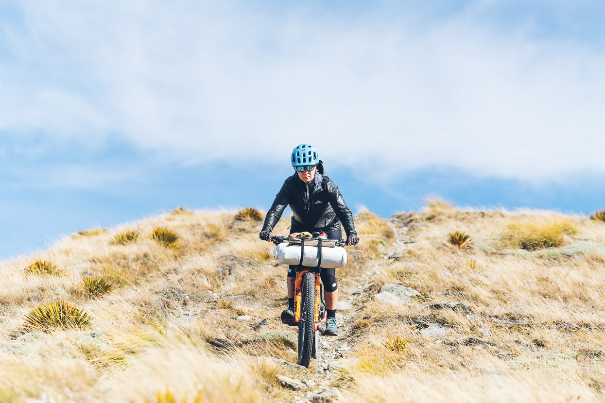
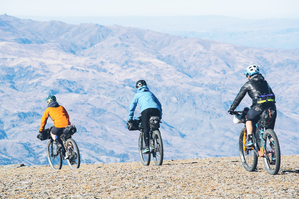
A strong, cold wind blew from the northerly quarter, so we were pretty well clad to stay warm. Anna wore her windproofs all day!
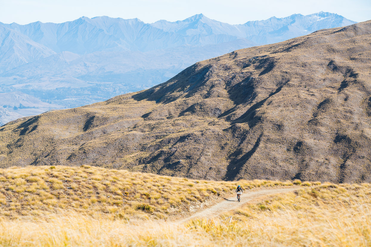
But with clear skies and all day to play with, the wind was just a minor distraction from the exceptional landscape and amazing views. That’s the Wakatipu basin in the distant background.
From Rock Peak the route turns to rougher double track and drops, then climbs up to Mt Allen.
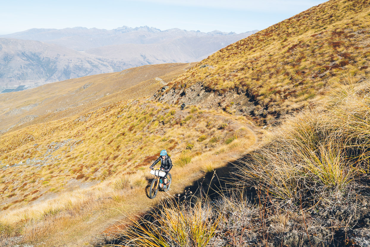
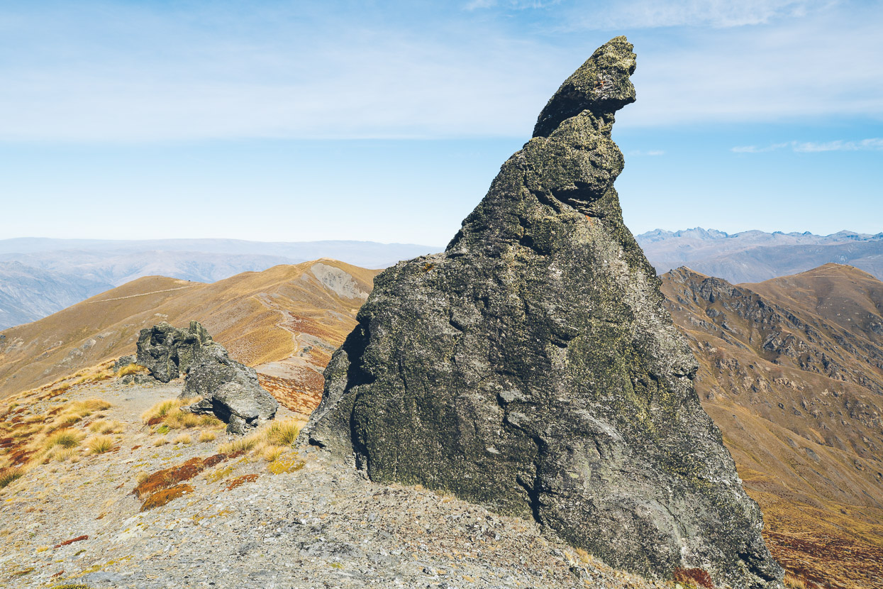
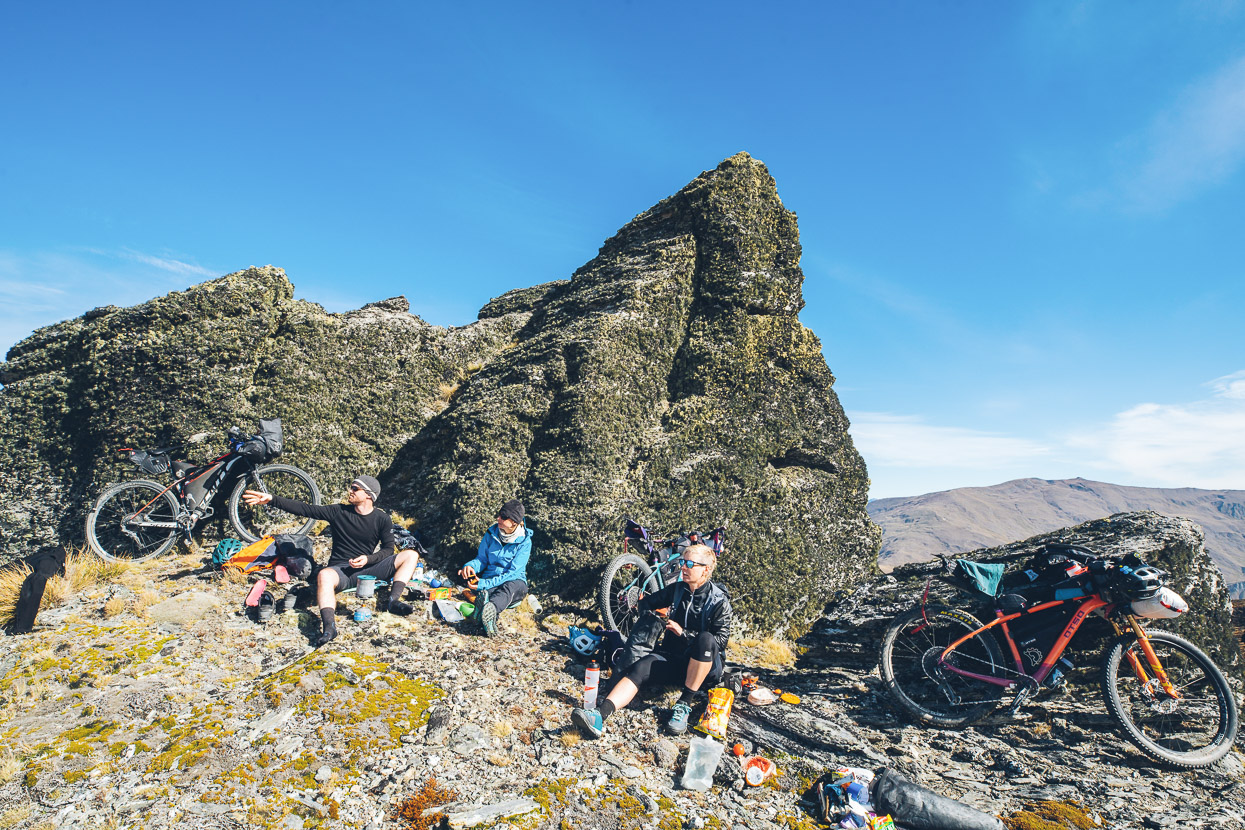
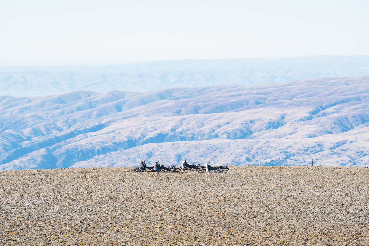
This beautiful section is between Mt Allen and Quartz Knoll (1593m). We stopped part way up this climb to eat lunch among the schist outcrops, just before the top.
Then we dropped down and rolled along past Queensberry Hill.
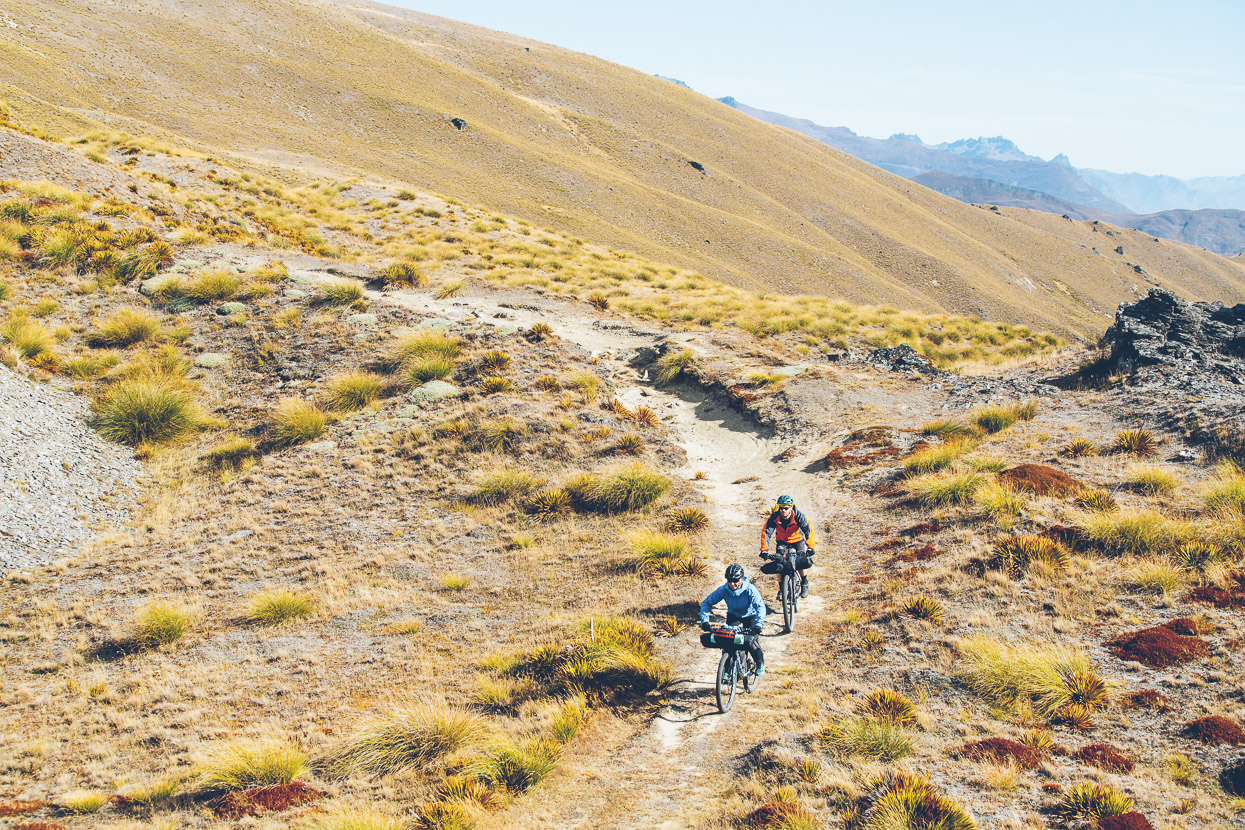
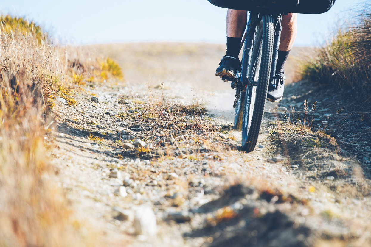
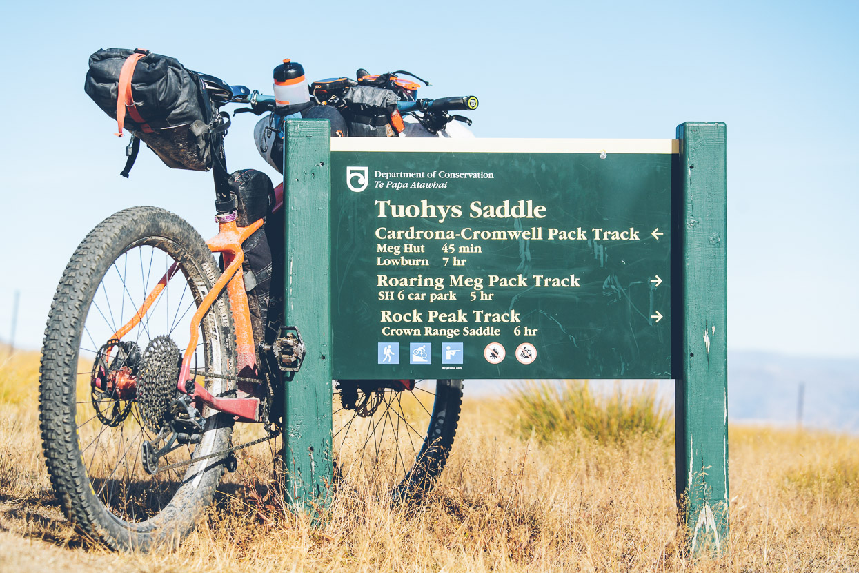
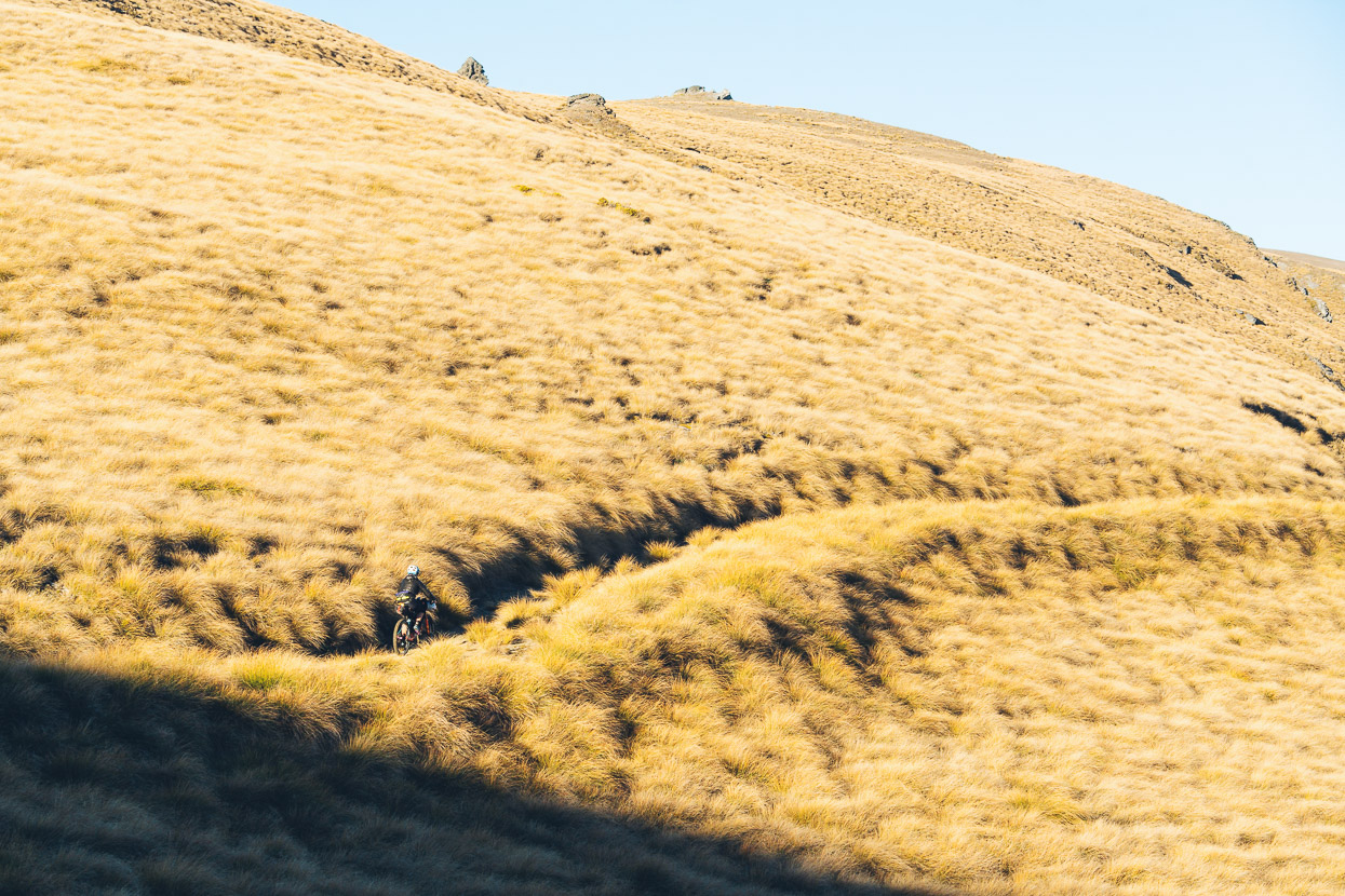
Before some fast, fun, singletrack style descending took us down to Tuohys Saddle.
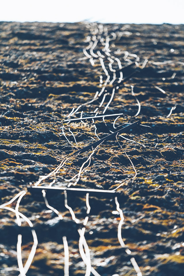
We didn’t go up there, but the bulldozer driver who did had surveyed the route well.
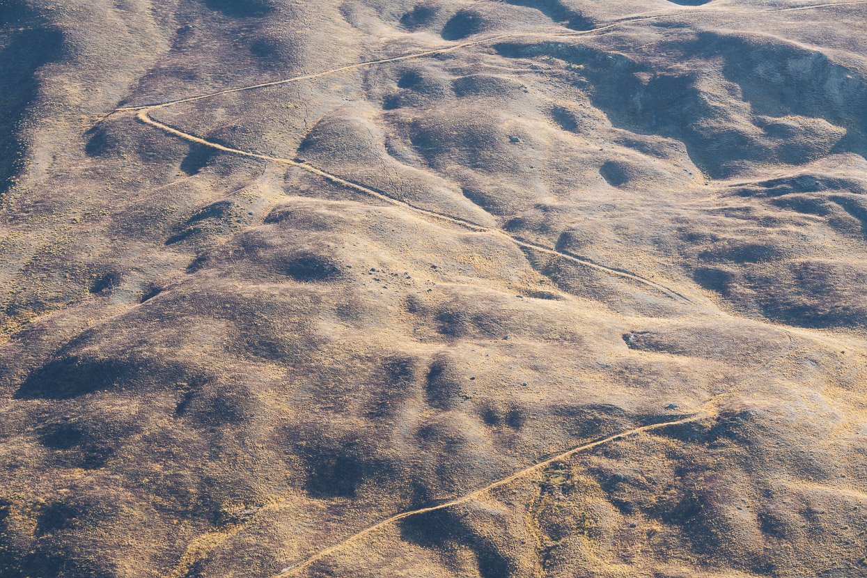
There’s quite a big gap in the photos here. From Tuohys Saddle we continued up on farm tracks towards the Snow Farm, which is the site of a commercial skiing operation and vehicle proving ground.
While the ride so far had been on the DoC estate, our right of way on the next 6km section to the proving ground and snow farm was unclear. From the saddle there was no gate, or signage declining access, so I suspect if you don’t do anything dumb (like camp in the middle of it), it’s probably ok to cross. If anyone knows anything more, please contact me.
We passed through the incongruous infrastructure of the snow farm, and got back onto 4WD tracks heading towards Kirtle Burn Hut for the night. The landscape was covered in a shagpile of golden tussock in the late afternoon light and the temperature dropped as steadily as we climbed.
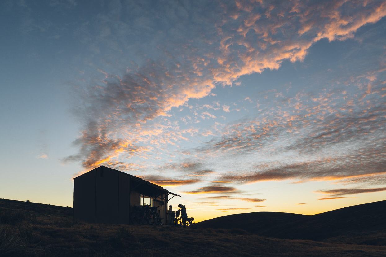
Arriving at a Kirtle Burn Hut (Doc) shortly before dark, with not a soul in sight was one of those memorable moments in the hills, when you know you’ve had a big day and the reward is your own private house for the night, along with million dollar views.
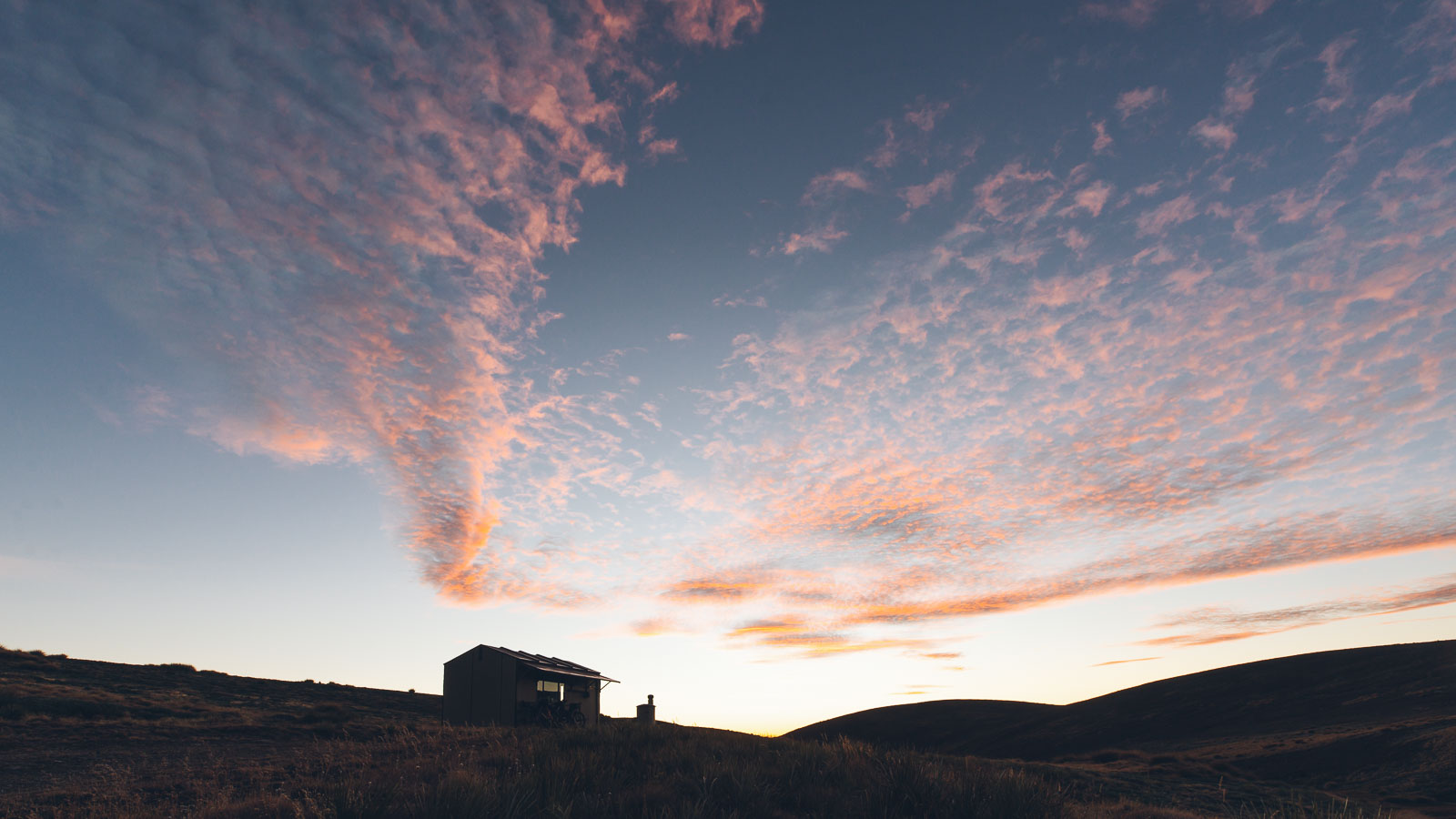
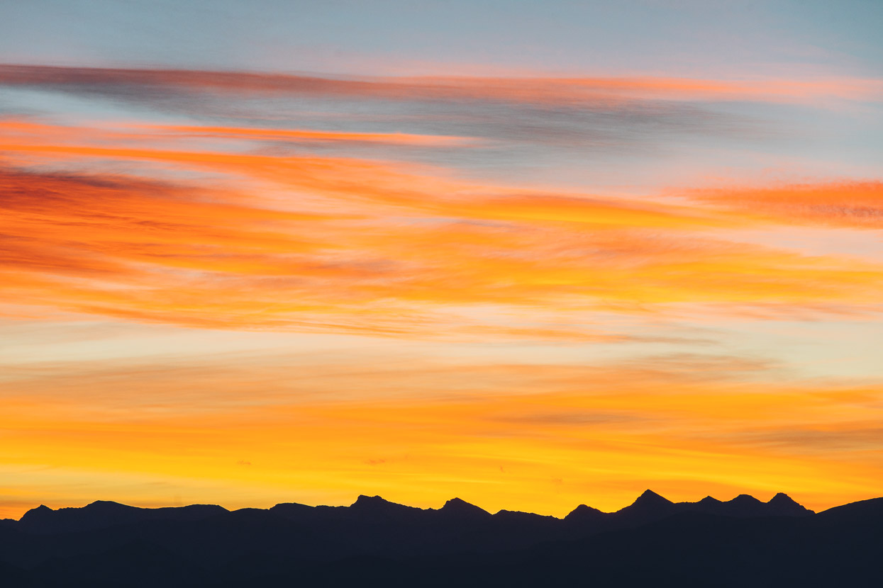
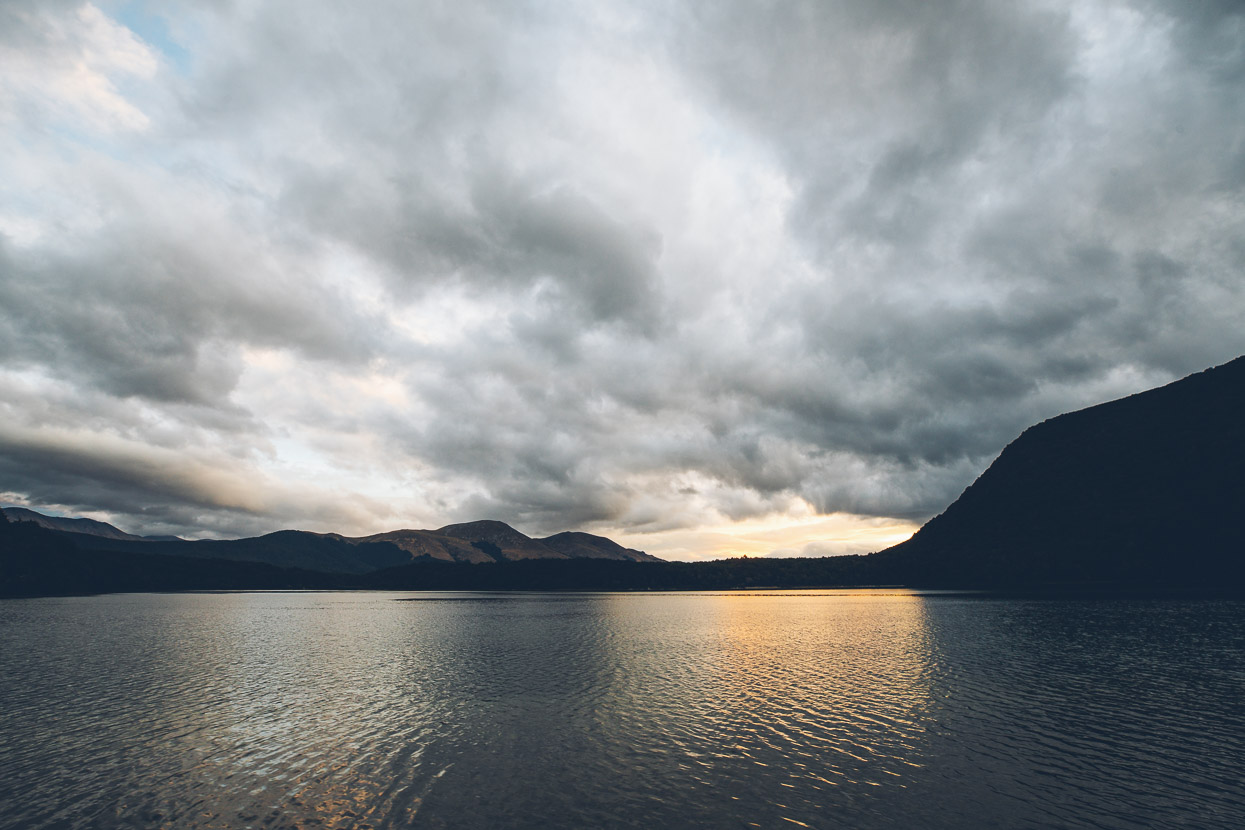
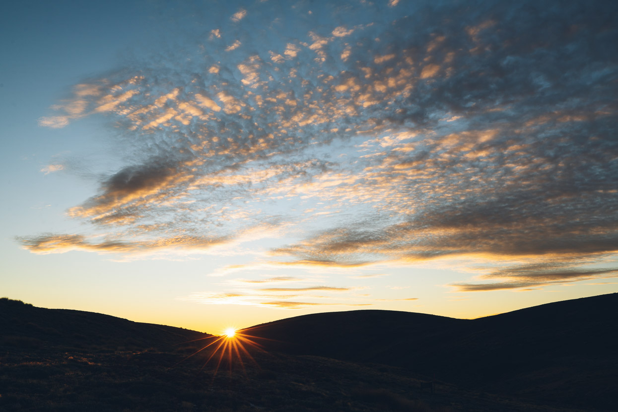
We settled in for the night while the setting sun painted the clouds.
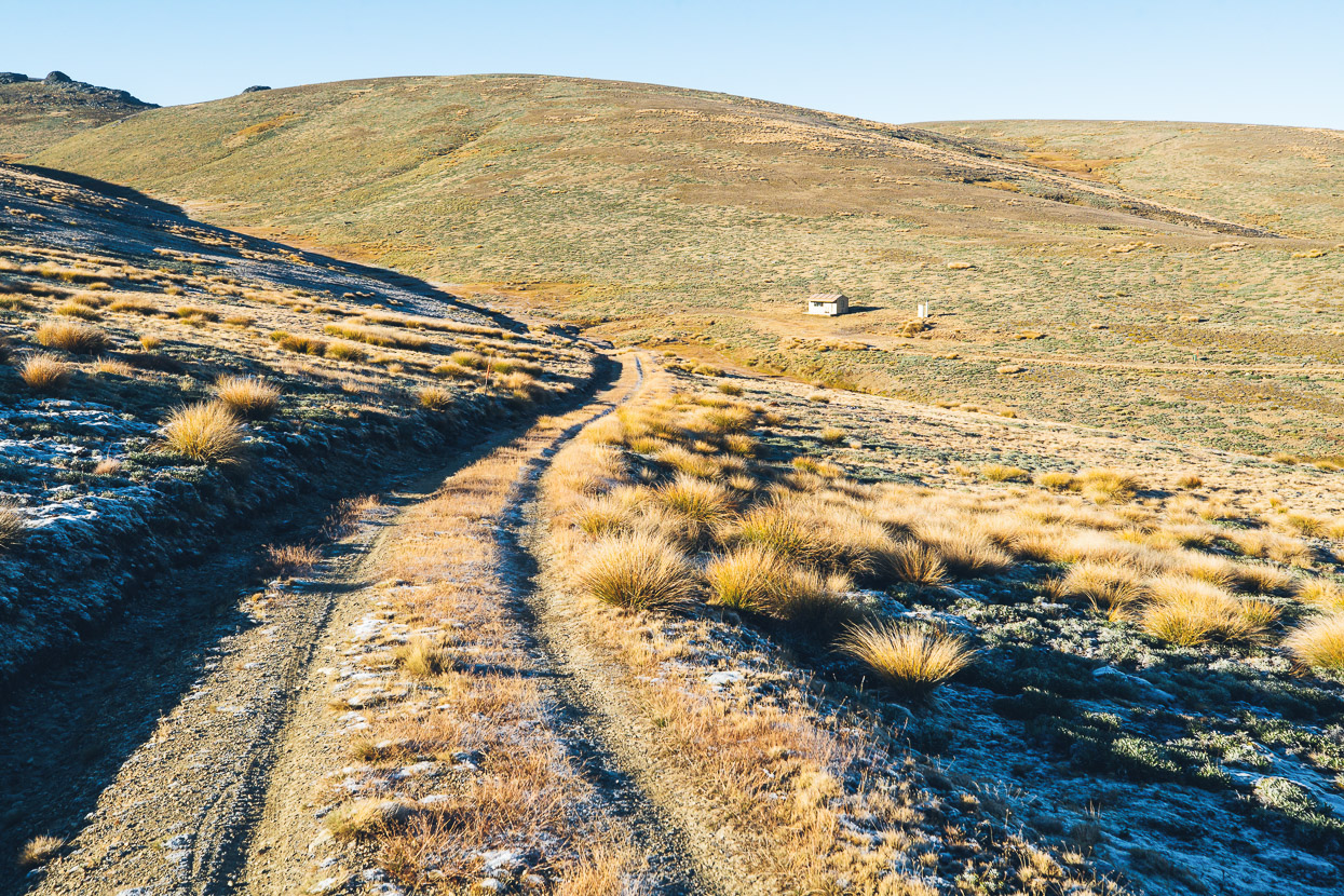
In the morning frost flecked the ground and ice covered the puddles. That’s the hut in the background.
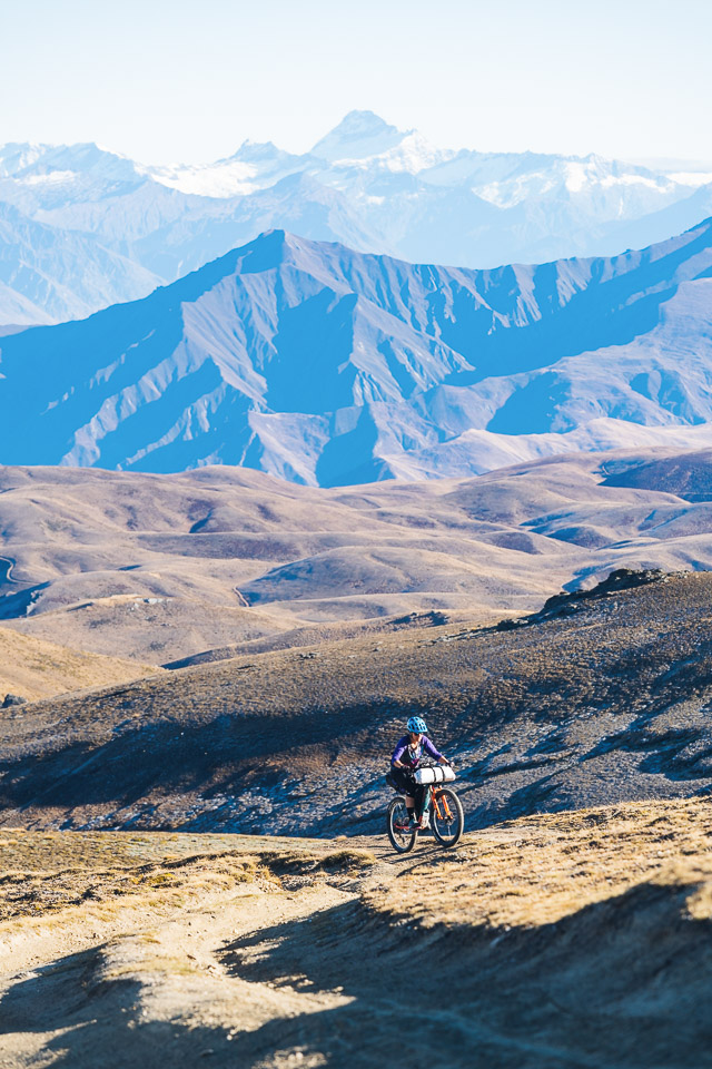
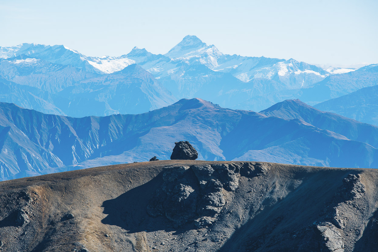
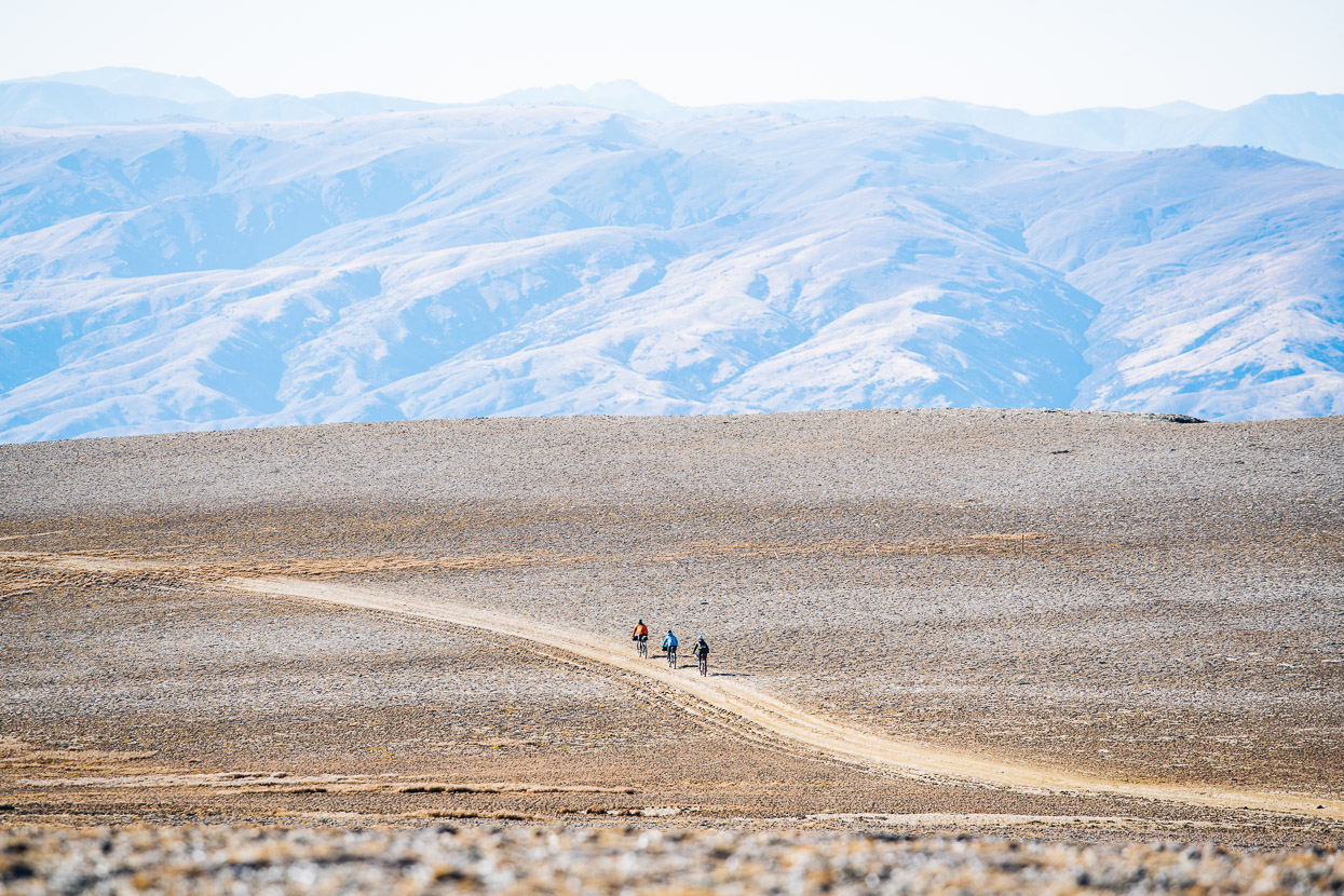
Mount Aspiring (3033m) stood tall on the horizon as we climbed towards the Pisa Range high point (Mt Pisa 1963m). Bikepacking views don’t get much better than this in New Zealand. It could easily be Peru.
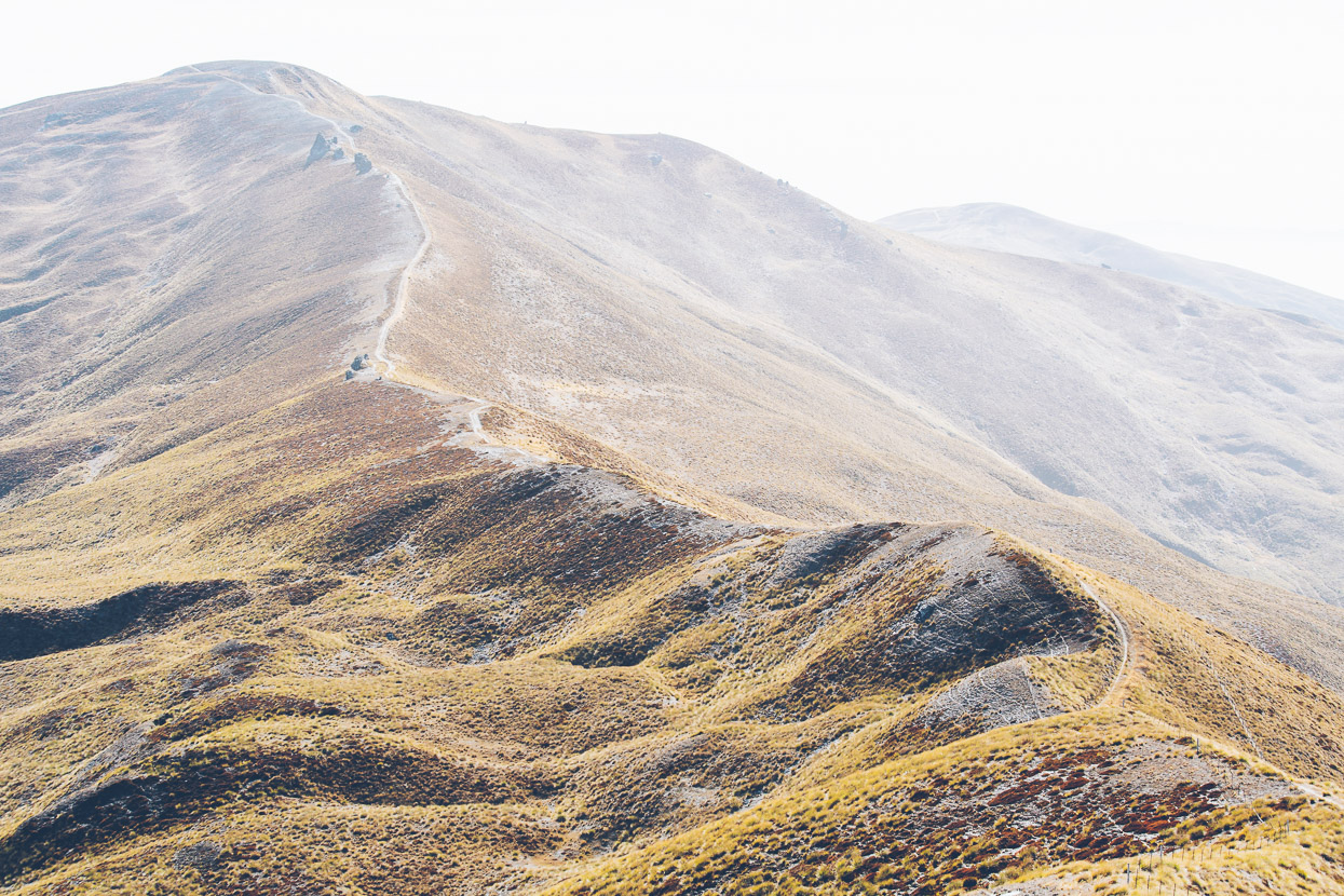
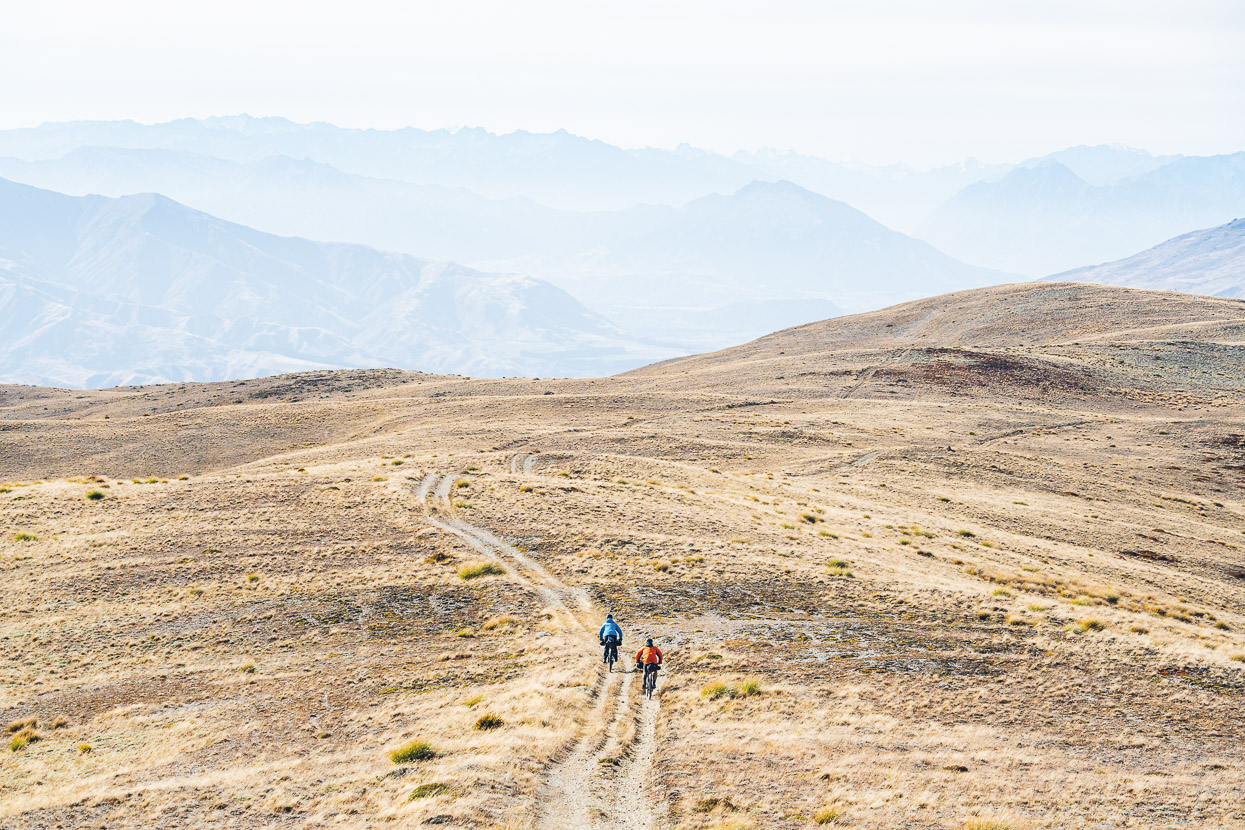
We skirted just under the top of Mt Pisa and rode along a barren, windswept ridge, quite different in character and topography to the sharper ridge lines of the previous day.
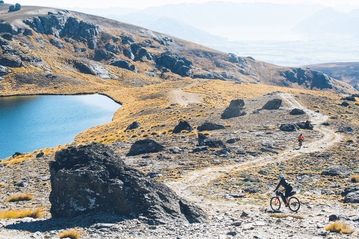
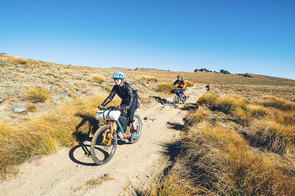
After quite a while soaking up the special views it was time to drop for good, down past Lake McKay and onwards down the seemingly never ending Pisa Range Ridge Track.
A fantastic 1600m+ descent got us down to the lifestyle block subdivision of Queensberry, from where we followed about 35km of highway and then cycle trail to Cromwell, where ice creams and bakery treats concluded an exceptional five day trip.
This is one I highly recommend, but pick your time of year and weather, as it’s an exposed place to be if conditions are not agreeable.
Thanks for reading.
Say thanks with a donation!
If you enjoy our content and find it informative or inspirational, you’re welcome to show us some love with a donation. The services we use to create our GPS tracks and host the site cost money, funds that we’d rather be spending on the road, creating bikepacking and tramping routes and content to share with you. Thanks for reading!






Hi Mark fantastic photos.
In Feb I walked from Queensbury to mount Pisa return. What an incredible landscape! It took 10 hours or so, and there was not another soul on the track. They simply don’t know what they are missing.
Not sure if I’m fit enough to do the whole 5 days, but would love to do the Nevis Valley one day.
Thanks Russell – it is indeed a fantastic area. I hope you make it to the Nevis.
This is stunning, amazing photography and great details on your ride. I’m looking to complete a overnighter from Wanaka, up through luggate and stay at kittle burn or maybe meg hut. Then the next day carry on to the crown range, loop back around via the road and the cardrona hotel.
How do you think it would be going that way vs the direction you chose? And how did you go for water?
Again , stunning pictures and story ! Loved reading it!
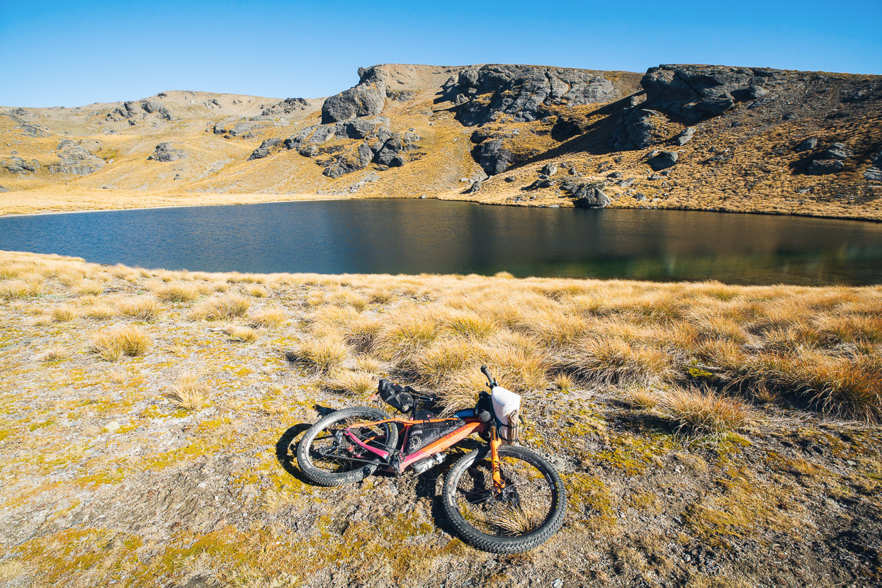
Thanks for the comment – glad you enjoy the photos! It’s a much harder, and I think less enjoyable, ride in the direction you propose, because the climb is so long and often steep coming up from Queensberry. If you love climbing and up for a challenge, go for it – plenty of it would be rideable, but it’s something like 1800m in one crack to the top of the range. There’s water at the tarn in my photos on the way up onto the range. But that’s the only water until Kirtle Burn Hut. After the hut there is plenty of water around. It would be a more classic and fun ride climbing the snow farm road and descending the way we did. (Note the snow farm road is a boring descent in comparison to the other way too, which is one of the longest continuous descents in NZ). Hope that helps.