condoriri and huayna potosi
We’d been excited to experience the Mama Coca route ever since hearing some early stories from the Dammer brothers’ and Cass Gilbert’s exploration of it last year. These guys’ names are synonymous with tough and interesting routes, often featuring some clever route finding. The first few hours worth that we’d followed after Abra de la Calzada had been fun and we looked forward to seeing the upcoming terrain that the rest of the route would traverse.
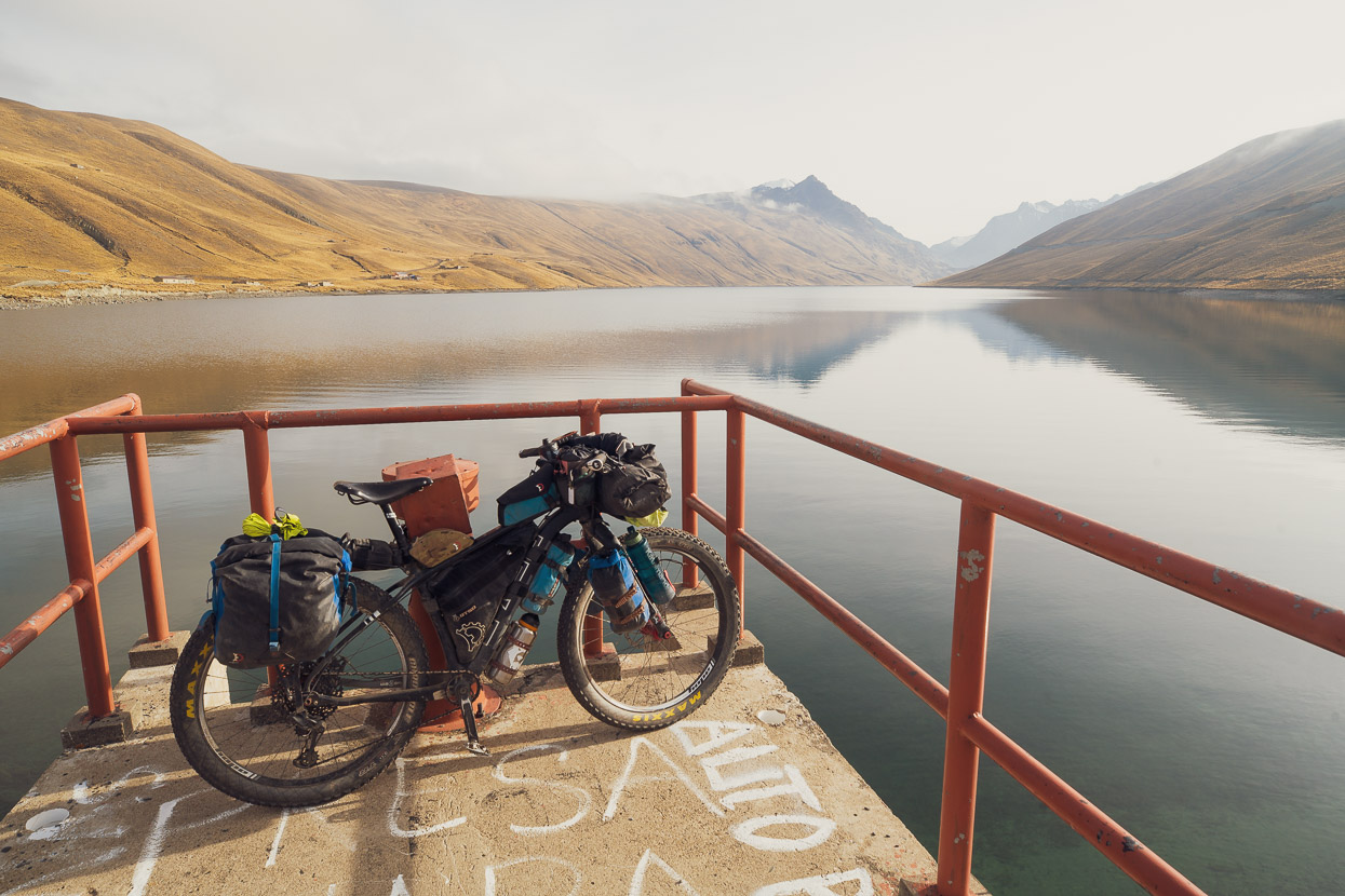
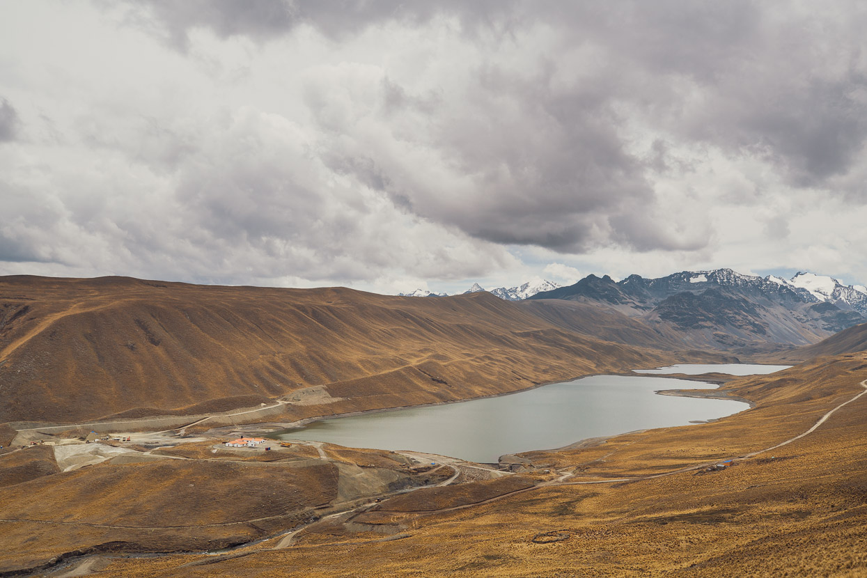
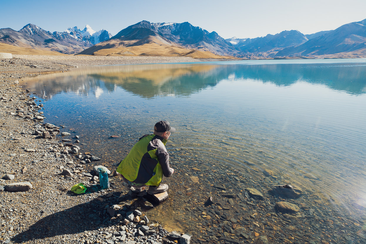
This post picks up as we left the village of San Juan de Chachacomani. We’d detoured there from the Mama Coca route to resupply and then rode an alternative route, lower on the range, for 24km to rejoin the Mama Coca at Laguna Q’ara Khota, one of many dammed lakes that serve to supply water for the cities of El Alto and La Paz. For full details on the Mama Coca route, visit bikepacking.com.
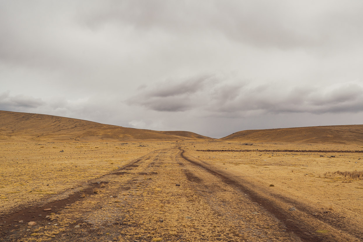
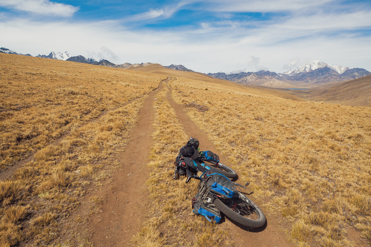
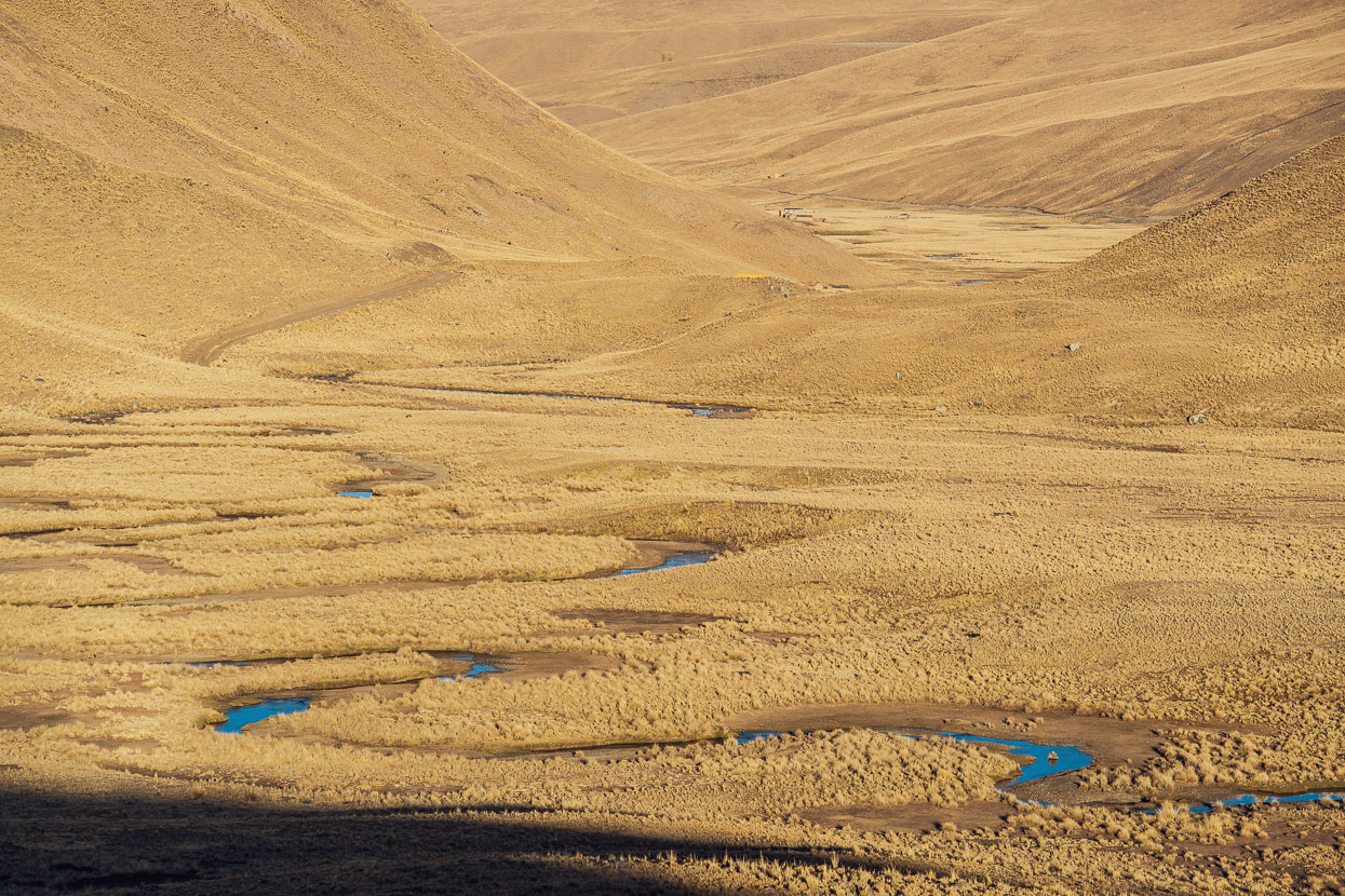
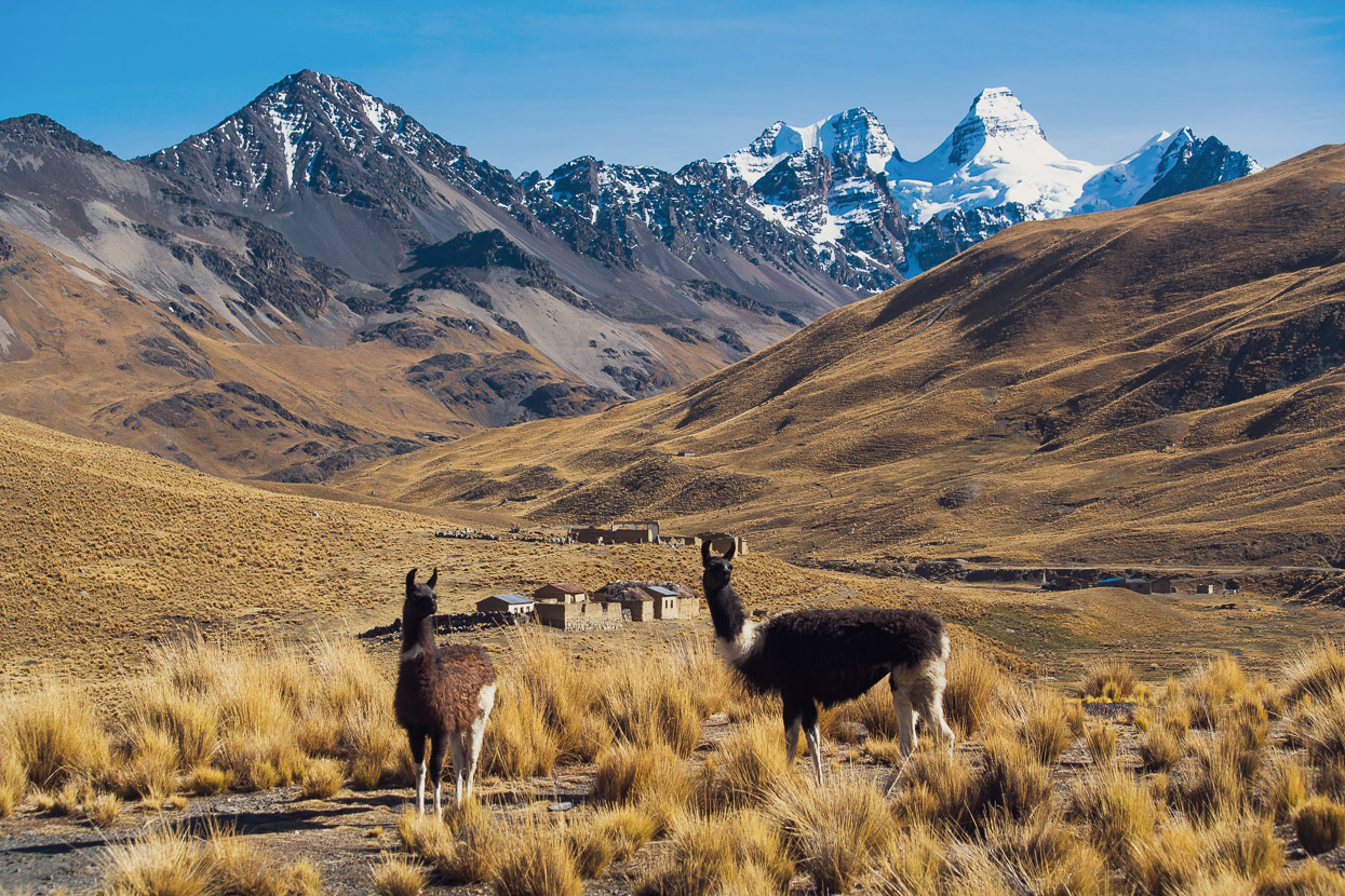
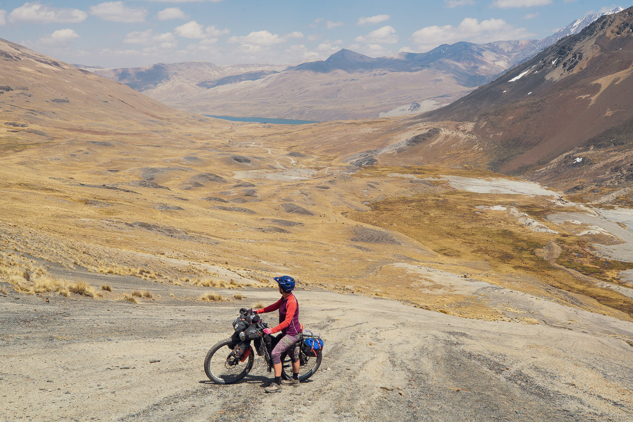
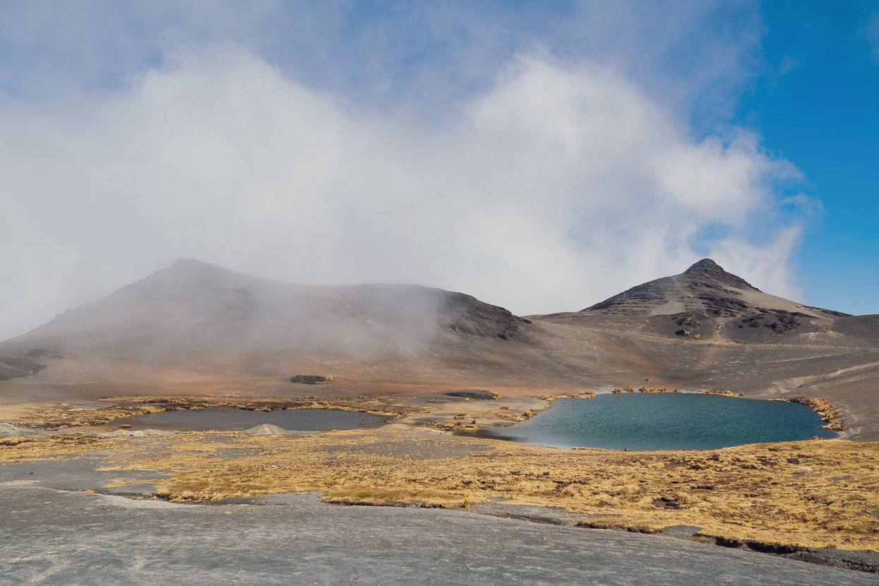
The puna. This photo was taken just a few hundred metres before rejoining the official Mama Coca route, but it says a lot about the colour tones you become accustomed to riding this section of the route. It’s a place where you can see the storms coming long before they hit, where the wind blows freely, unobstructed by trees, walls, buildings, or really much at all. A place where hardy animals and even hardier humans eke out their existences, far from big towns and smooth roads.
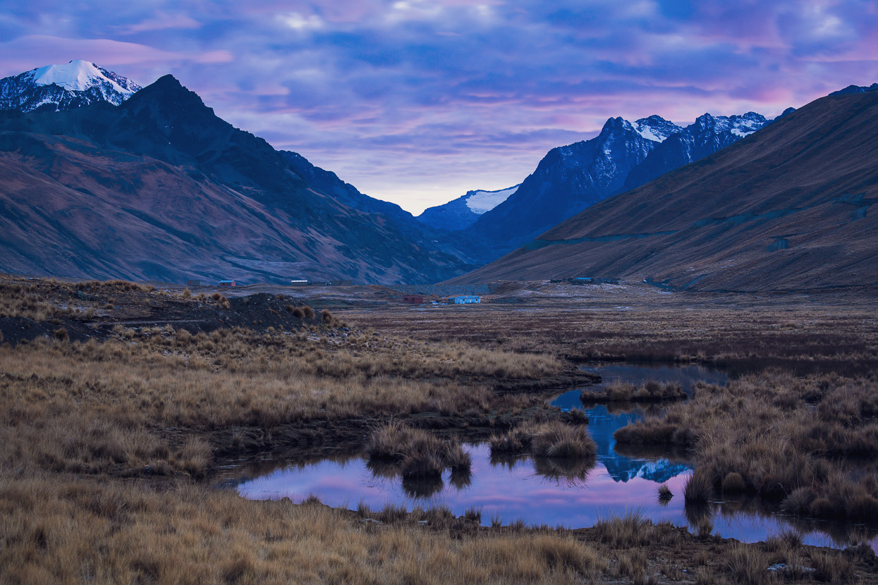
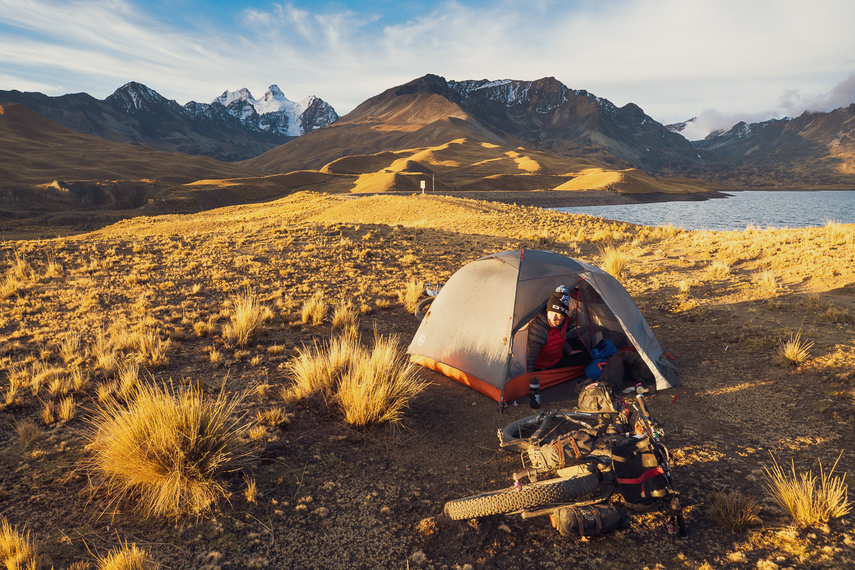
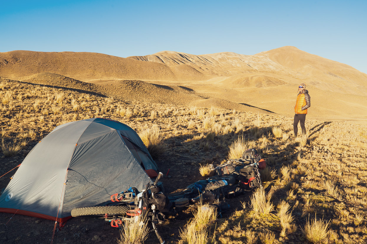
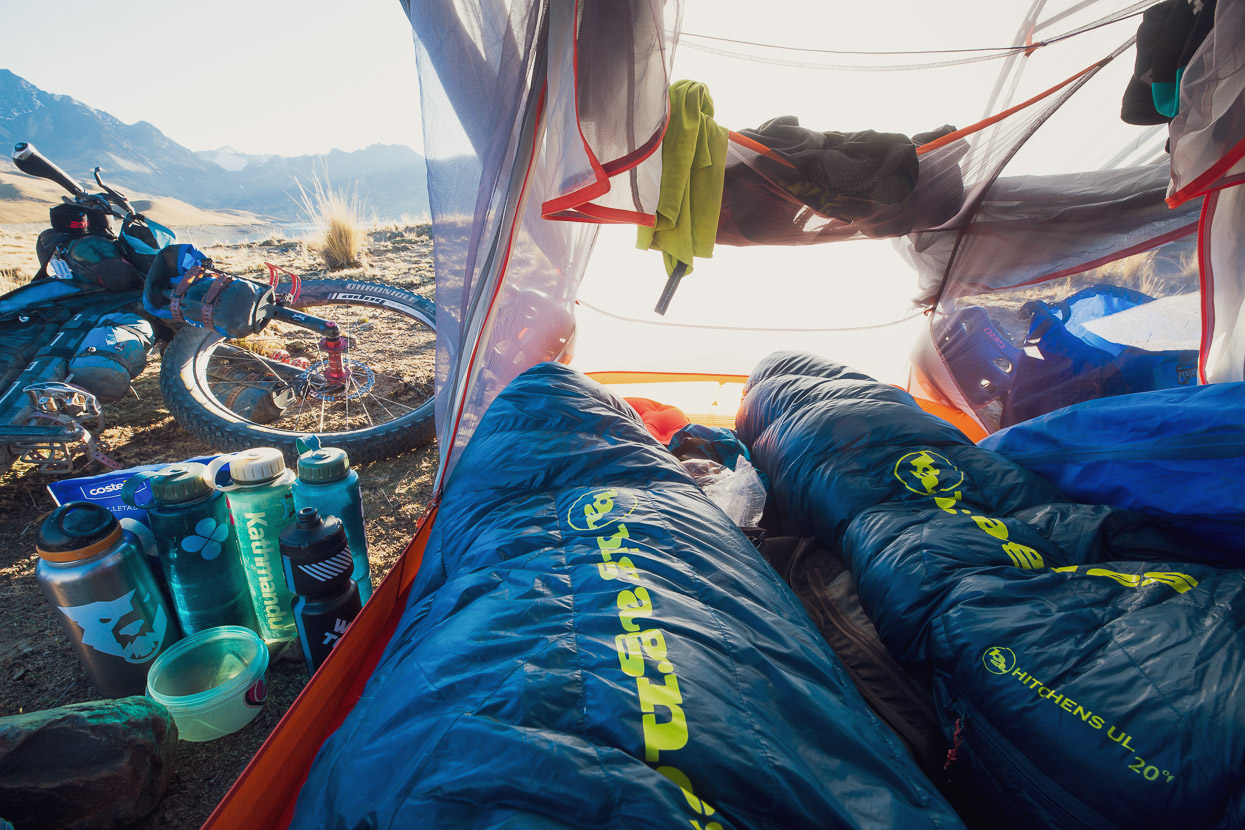
We spent the night camped near an aqueduct, about a kilometre downstream from the dam. We went to bed without a sunset but woke at 5.30am to a beautiful purple-tinged dawn glow as the sun inched towards the horizon on the other side of the Andes Oriental.
Other riders should take note that there is easy, but possibly slightly less peaceful, camping right at the dam too – and there’s a gorgeous view up the lake.
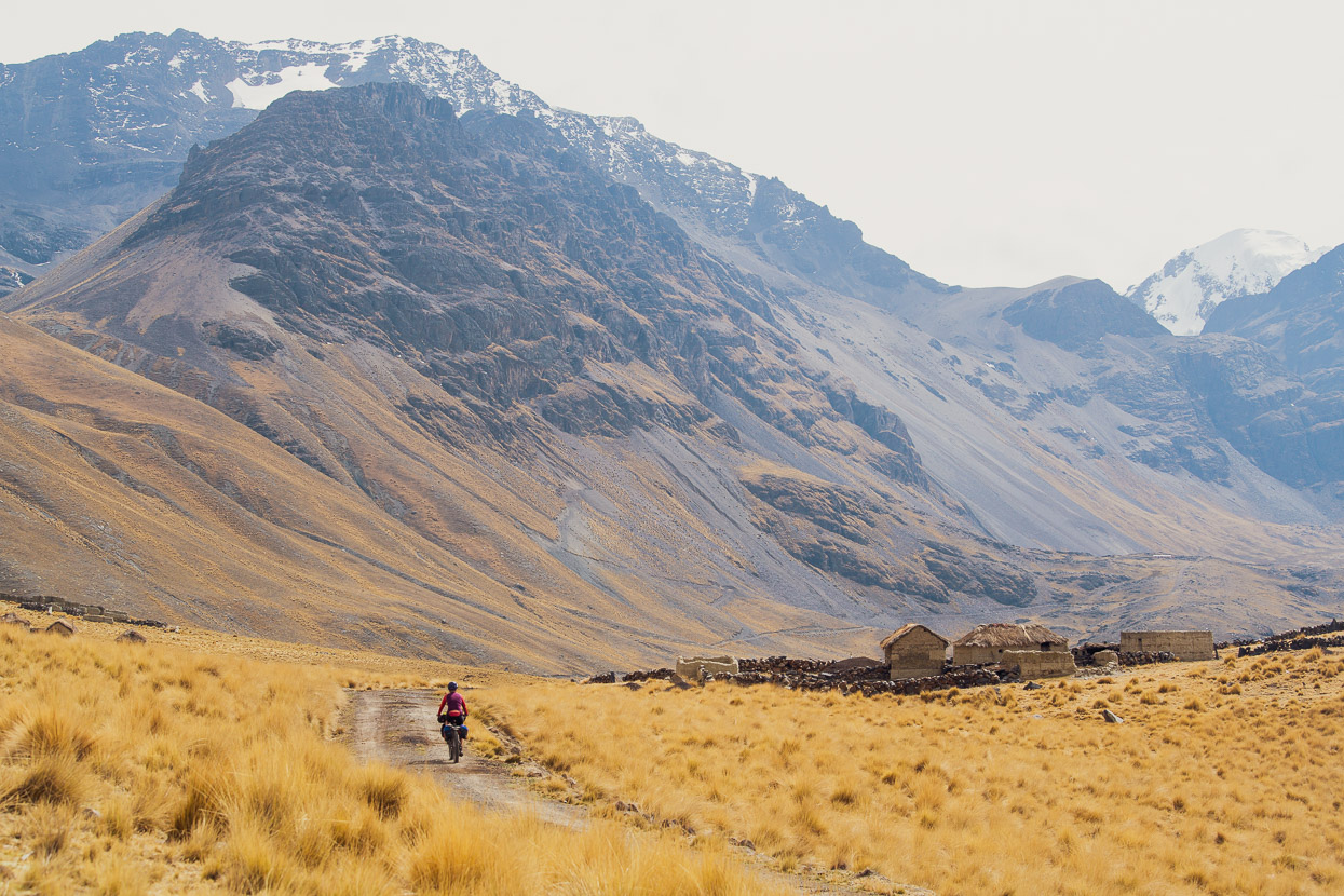
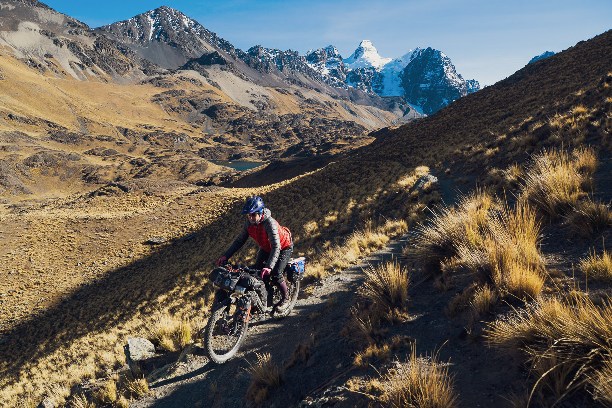
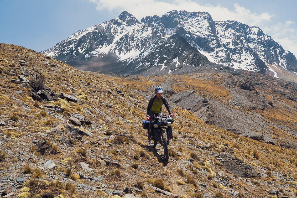
The day was spend climbing in and out of a range of quebradas (valleys), sometimes on dirt roads and double track, but often also taking cross-country routes to connect sections of road. There’s been some ingenious route finding to link this section so that it flows across the edge of the ranges well without ever going too high or too low.
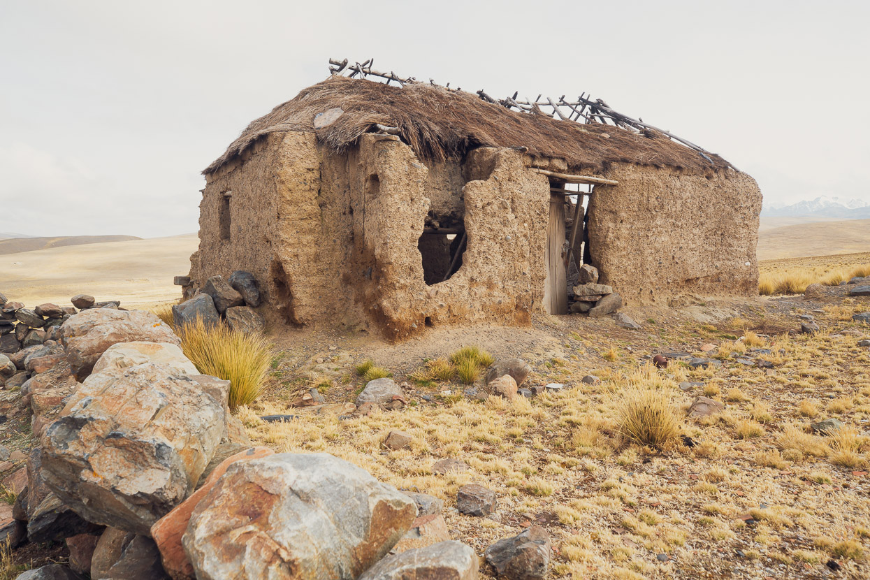
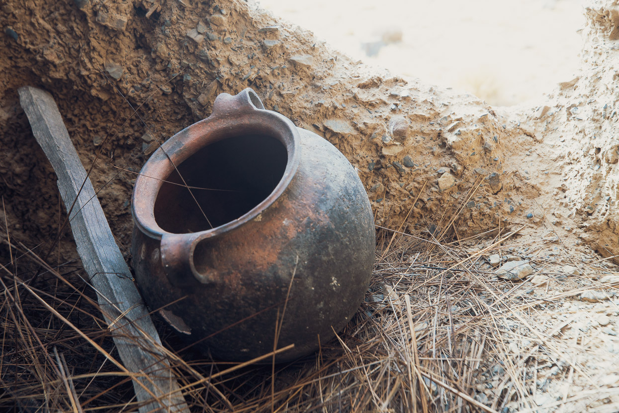
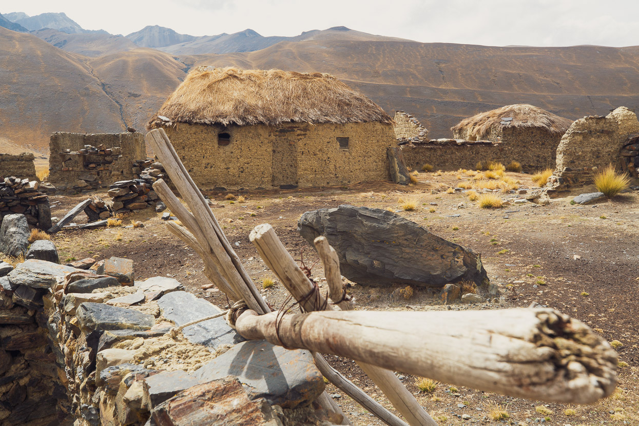
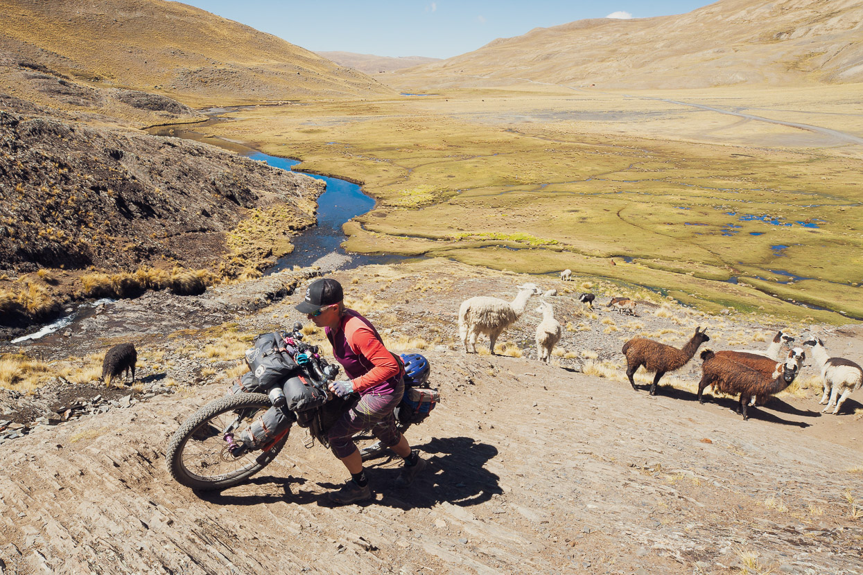
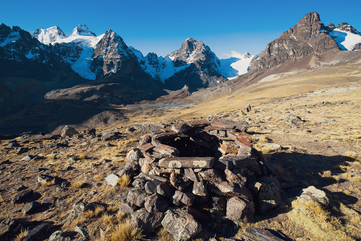
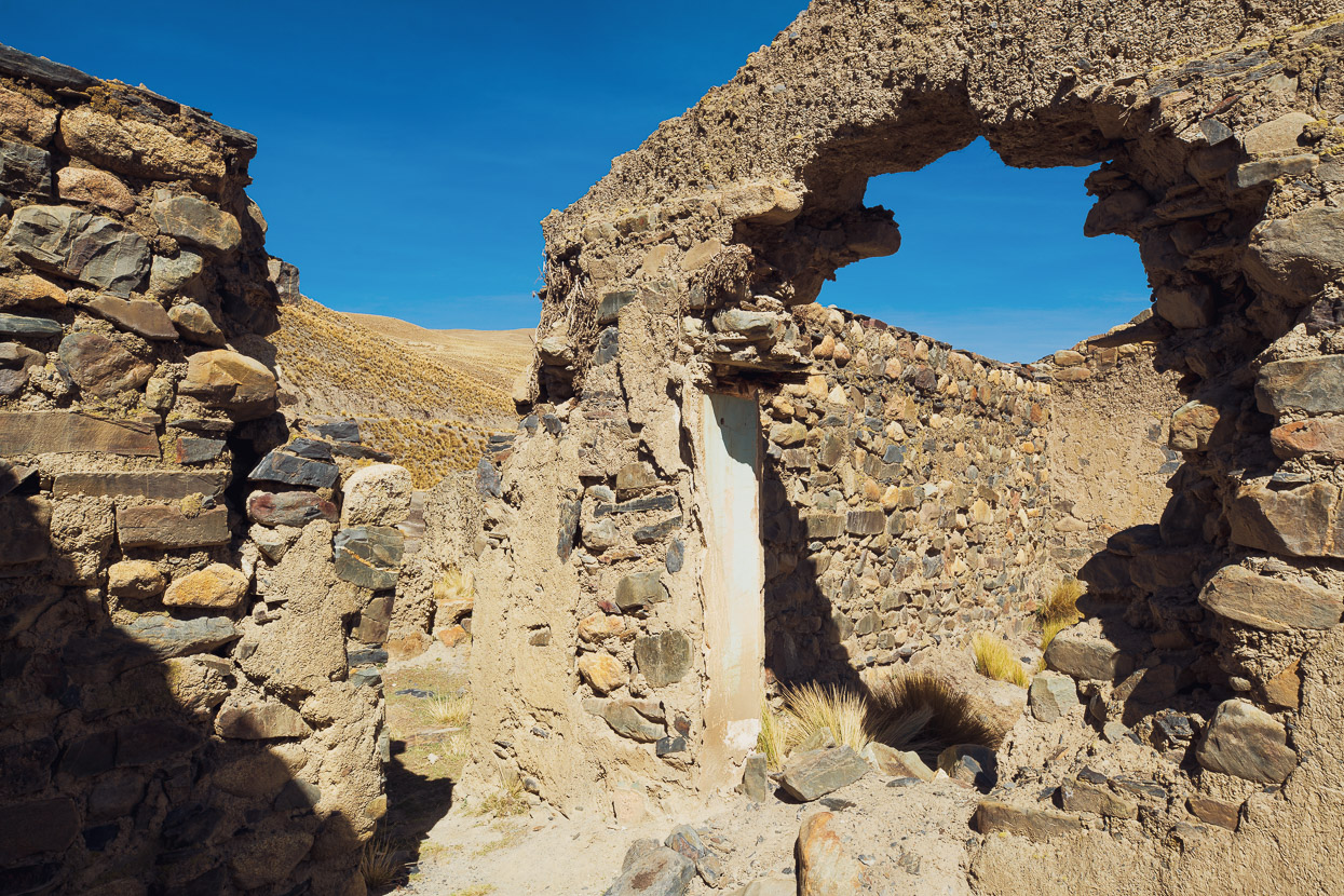
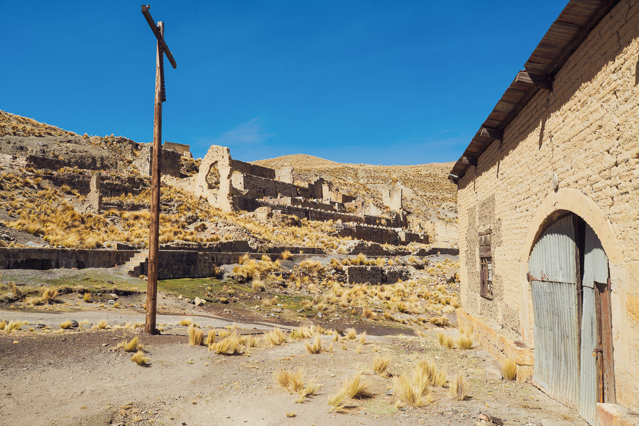
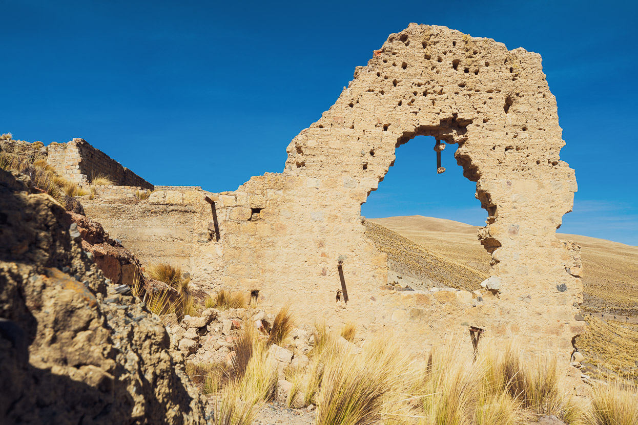
One of the things we’ve loved about the Mama Coca so far is the sense of history it invokes, from the ruins of homes and old mining operations to abandoned roads. It’s a bit like going back in time, especially as many of the campesinos you meet live lives that have barely changed in 100 years.
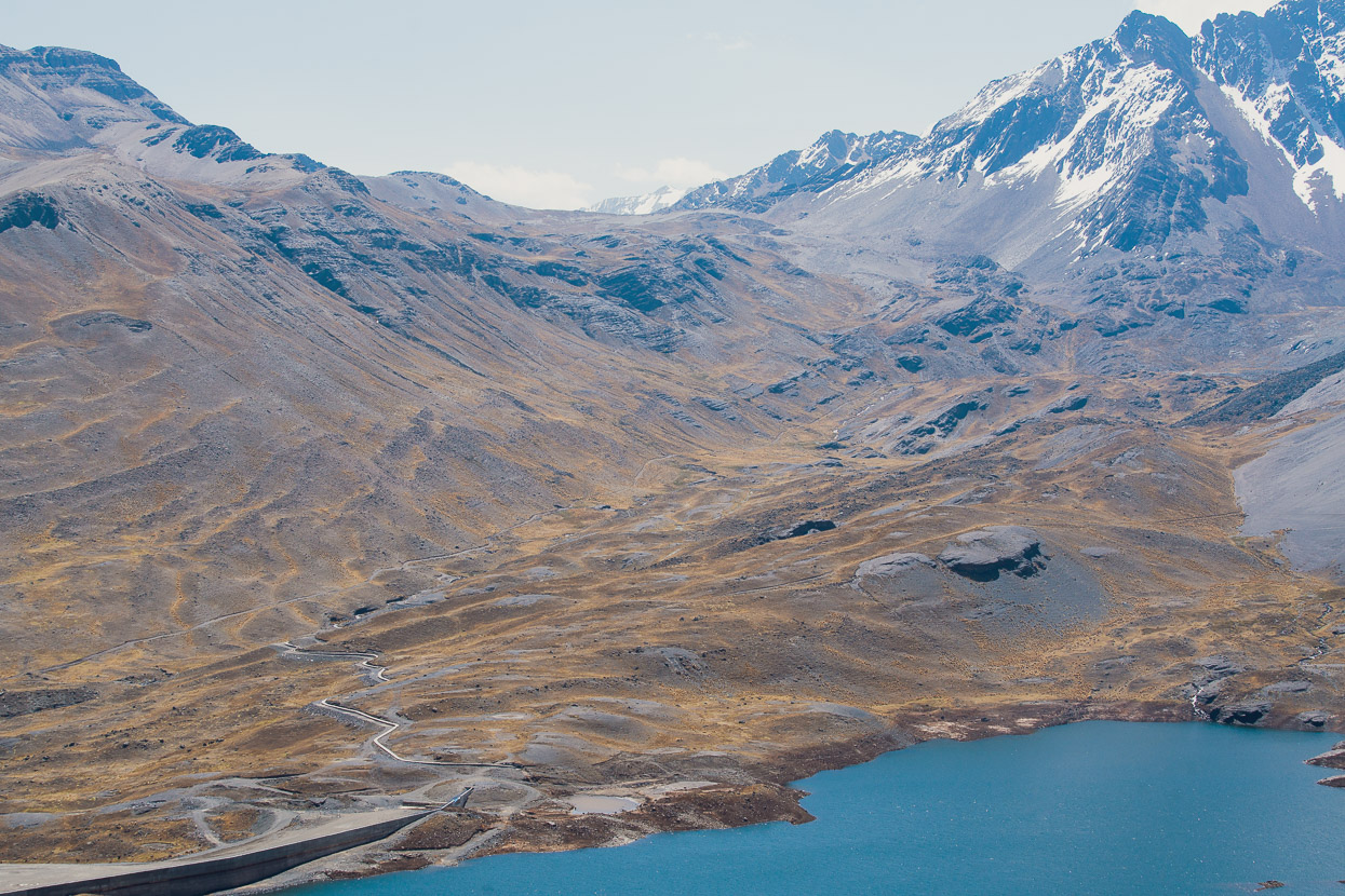
During the last ice age massive glaciers, kilometres deep, would have defined the form of this landscape. The peaks we see today would have been mere turrets – compared to today – poking out of the icecap. The glaciers have long since receded, and continue to do so at an ever alarming rate, but the landscape that remains now is their legacy: smooth, tussock covered valleys of loess and moraine, with the sharp edges of lateral moraines, pillowy roche moutonees and the terminal moraines at the toes of the lakes. At times it reminds us a lot of home.
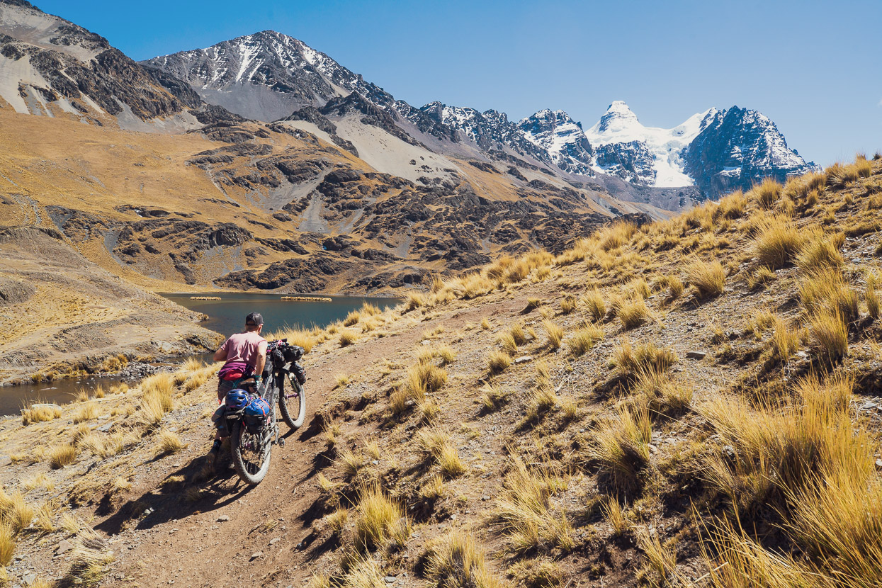
But little is sacred in Boliva, at least when it comes to conservation. This lake, and stunning post-glacial landscape, is about to be transformed with yet another dam.
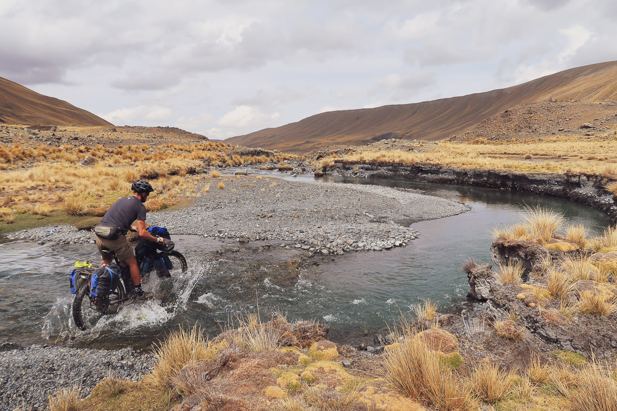
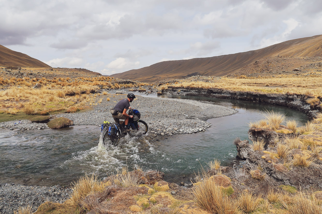
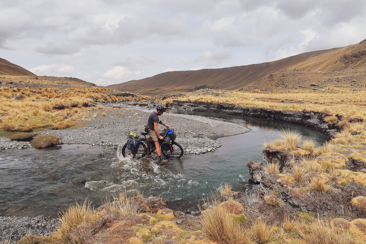
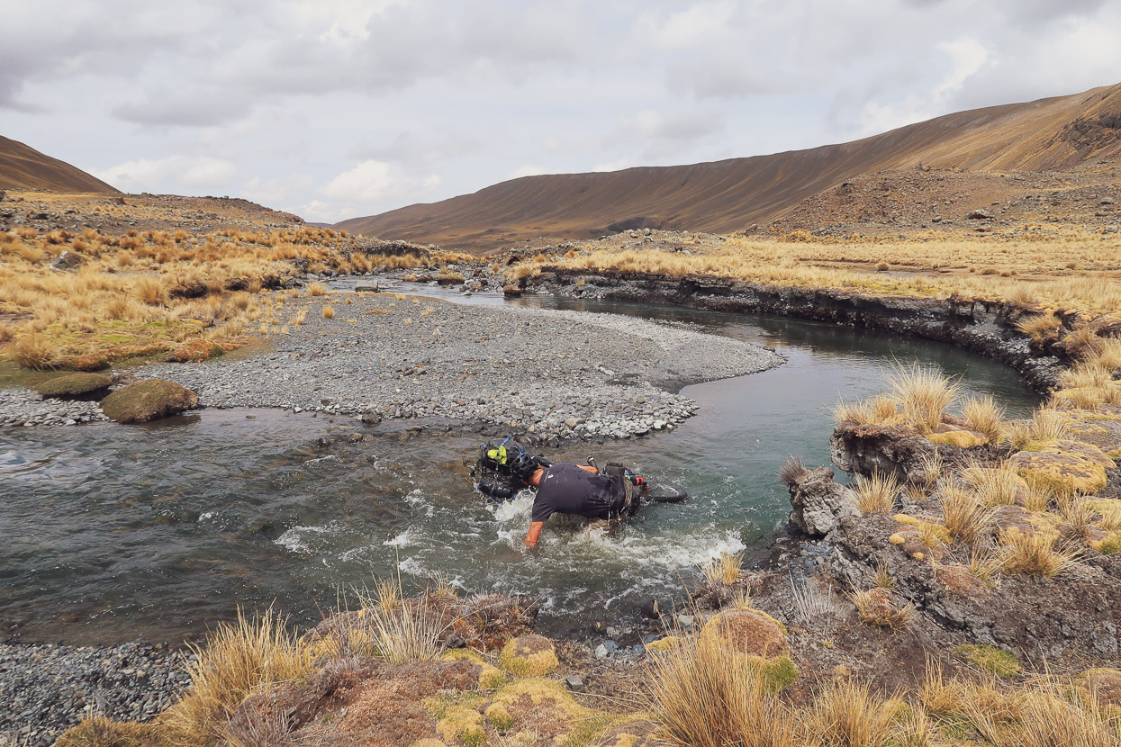
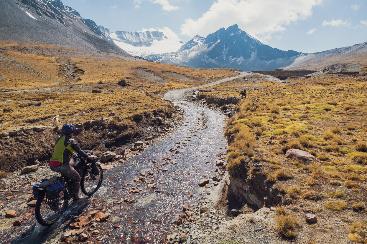
At the head of one quebrada we had to cross a narrow, but chilly, stream. The river bed was a bit on the slimy side, but I (perhaps over enthusiastically) decided to try and ride it anyway. I like a challenge and it would keep my feet dry right. If I made it …
Unfortunately my front wheel bounced off an extra slimy rock and I went into a death turn. Hana’s quote sums it up pretty well: “that went about as badly as it could have!”
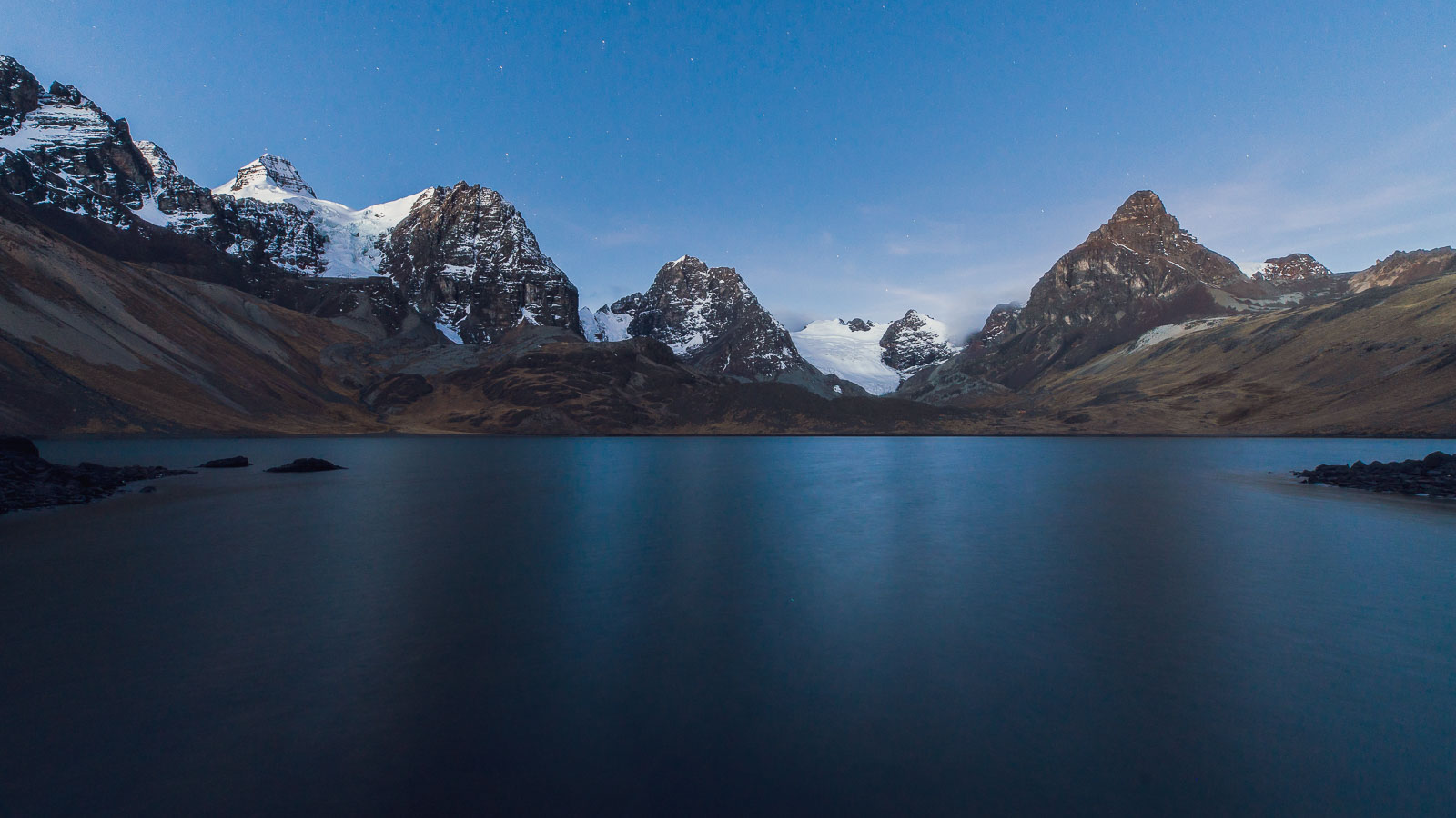
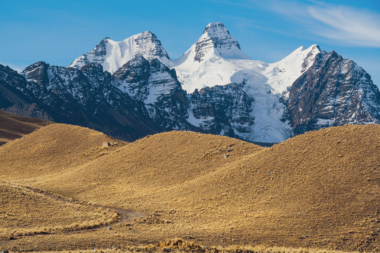
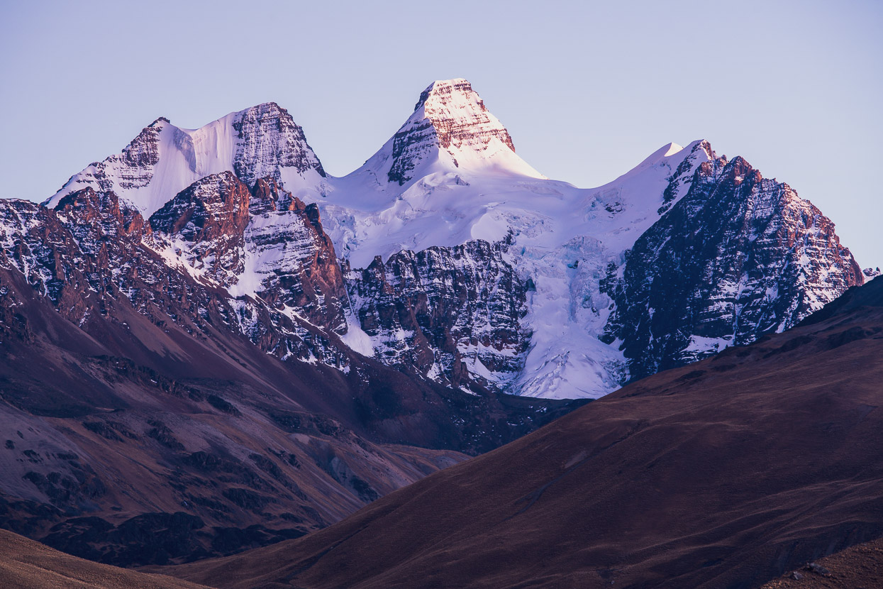
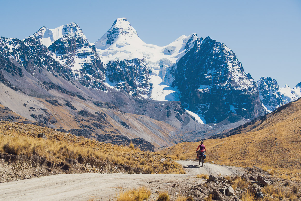
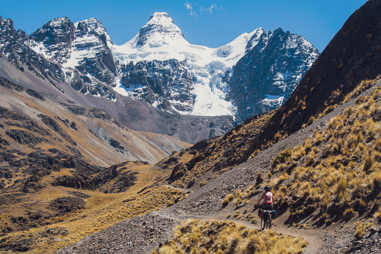
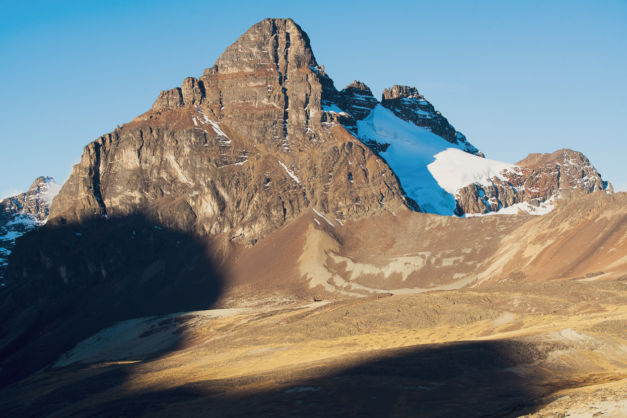
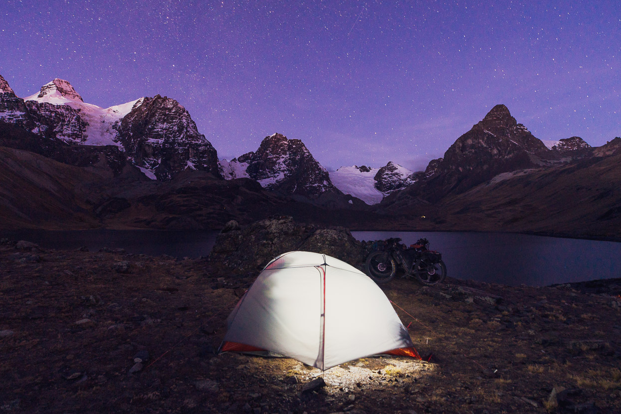
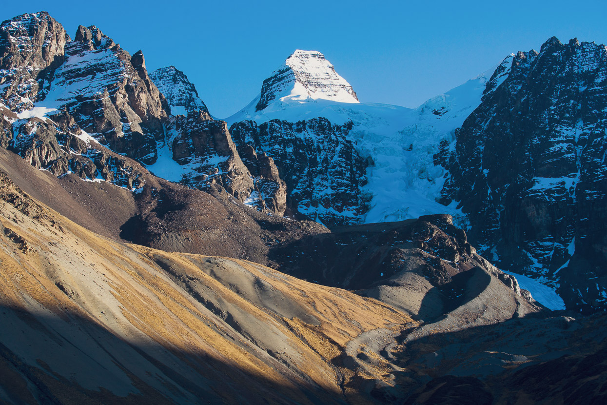
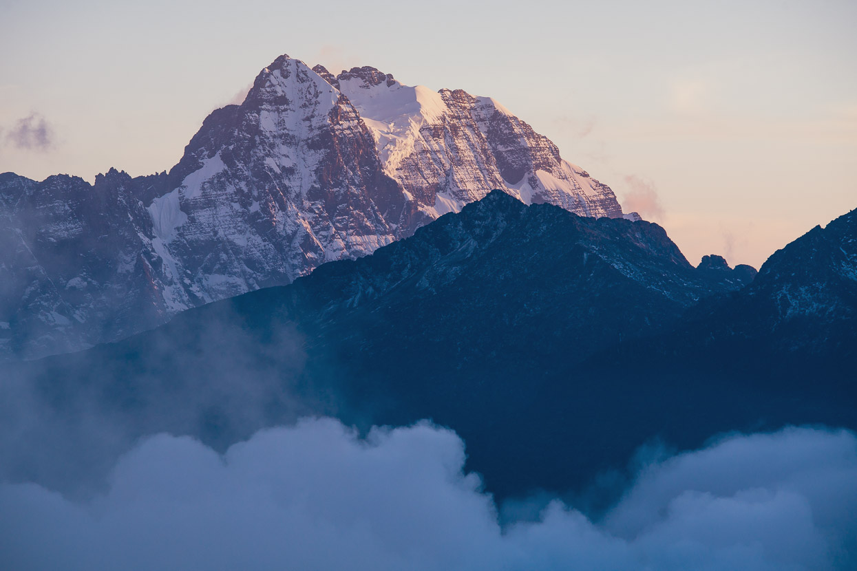
A long day’s ride in and out of endless valleys and over many grassy ridges closed with Condoriri, one of Bolivia’s most famous peaks, looming impressively over the grasslands. We camped at Laguna Tuni that night, with clear views of Condoriri to one side and the 6088m Huayna Potosi to the other.
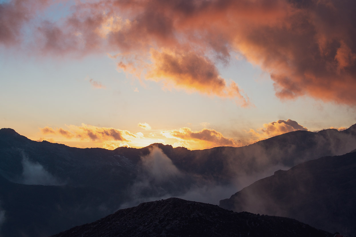
Dawn came with some beautiful colour. We had a relaxed start, happy to organise ourselves slowly in the calm of the morning before making a short climb up to Condoriri Base Camp, where we planned to camp and go for an afternoon hike.
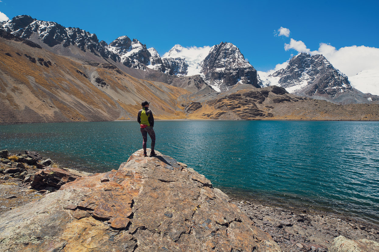
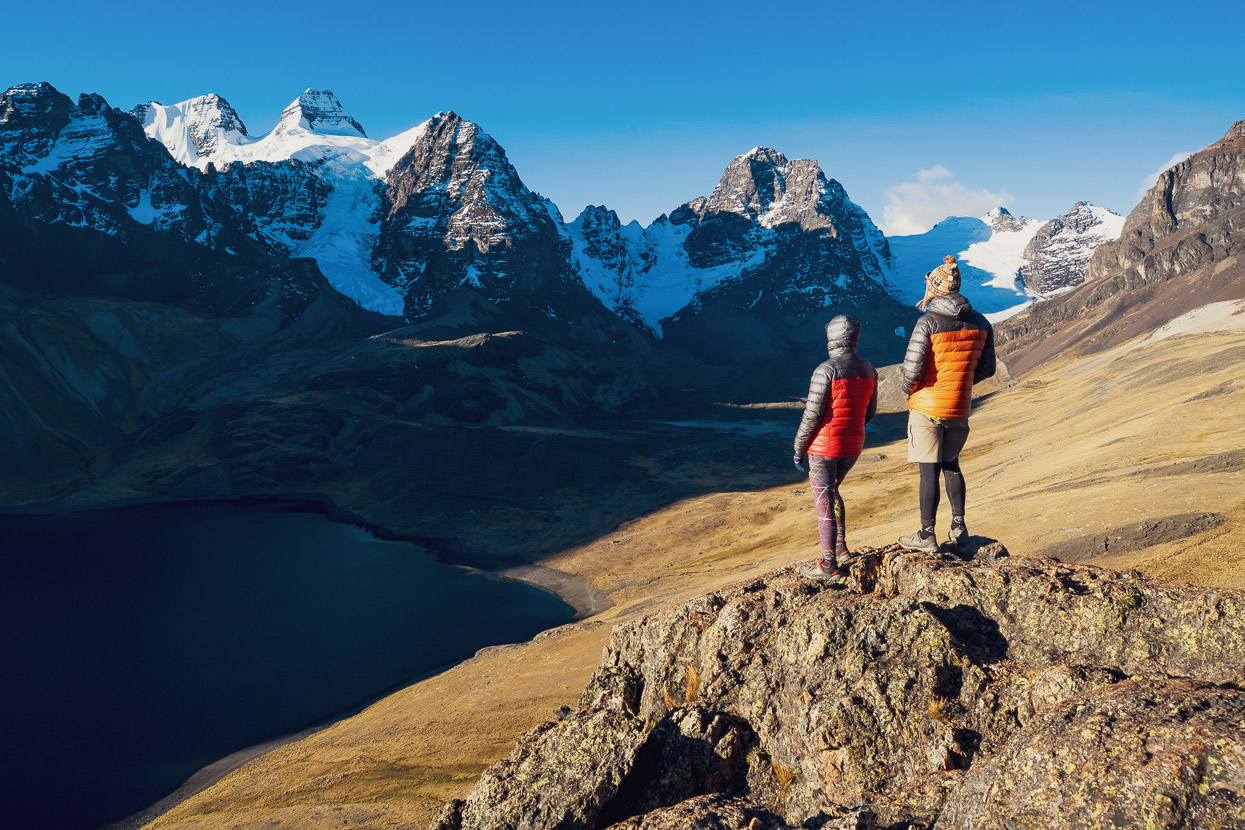
Picture postcard scenery surrounded us the rest of the day. It was an amazing place to be, with few people around and plenty of time to linger and enjoy the views.
Some hard graft was required getting up the first part of the track to Laguna Chiar Khota where a refugio is sited.
But the angle eased off after a while and some perfect singletrack led the way into the cirque.
We set up camp on a small knoll just above the lake and beside the refugio on the south side of the lake. There’s another one, which is more popular with mountaineers, about 20 minutes away on the other side of the lake too (a straightforward ride).
After lunch we set about exploring the valley, at first walking towards the very head of the cirque, beyond the second refugio, and then cutting a path up steeply to the south east between Aguja Negra and Paso Condoriri.
From Paso Condoriri there is a great view across barren valleys towards Huayna Potosi, which would be our next stop. This view was actually from a small col just to the north of the pass (5010m).
We sidled around to the south further until we had good views of Condoriri once again and lingered high until the sun dropped low and our eagle’s eyrie fell into the shade. Then we scuttled back down the tussock and scree to the shelter of our tent and deliberated over what to eat for dinner from our dwindling supplies.
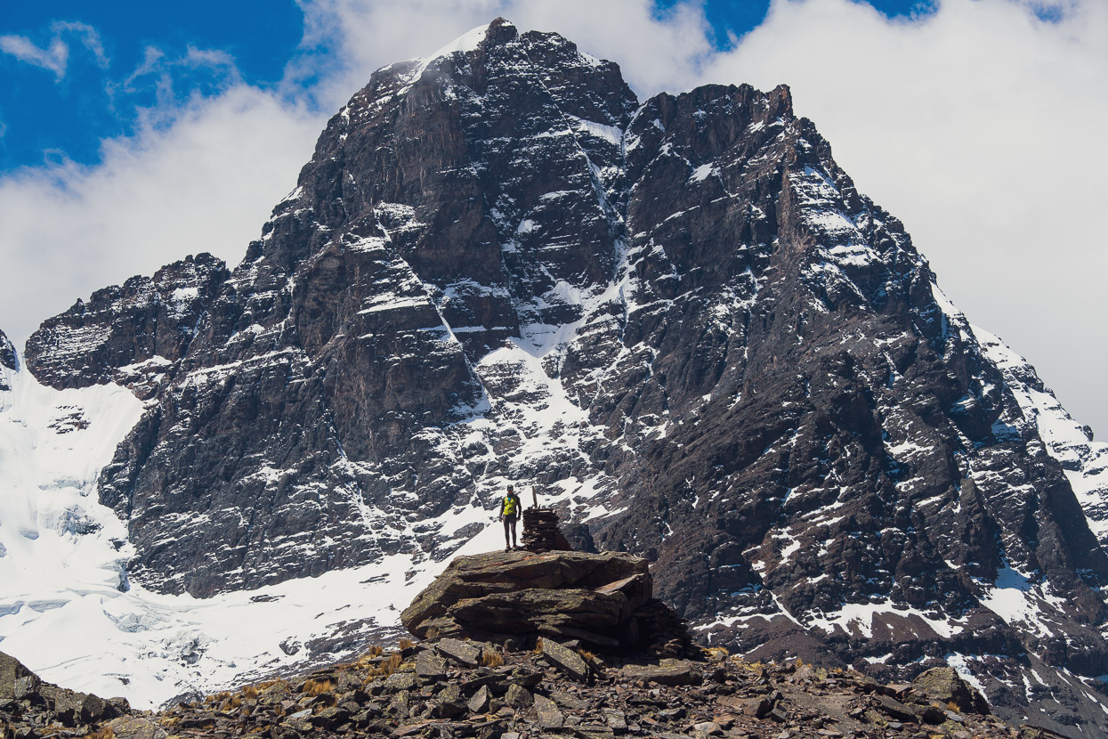
Aguja Negra (Black Needle), 5290m.
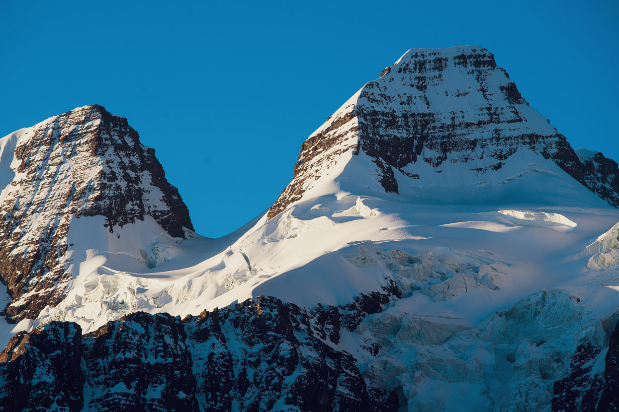
You can’t see it in this photo, but when I zoomed into the 42 megapixel file I could see a clear line of footprints on the glacier below the summit pyramid of Condoriri. They led to what looked like a bivouac in a snow cave. Hopefully they had a great summit day.
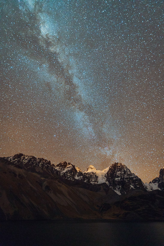
The same strong wind that had blown all day continued into the night, but the skies were clear and the stars crisp.
The milky way is still prominent in the clear high altitude skies.
The day started about as well as a day of bikepacking can, with a sunny singletrack descent back towards Laguna Tuni, followed by dirt road as we began a long climb up towards a 5000m pass beneath Huayna Potosi.
NOTE: this little side trip up to Campo Base Condoriri is actually a detour off the Mama Coca, but a very worthwhile one, with epic scenery for perhaps three extra hours riding time (return), at the most.
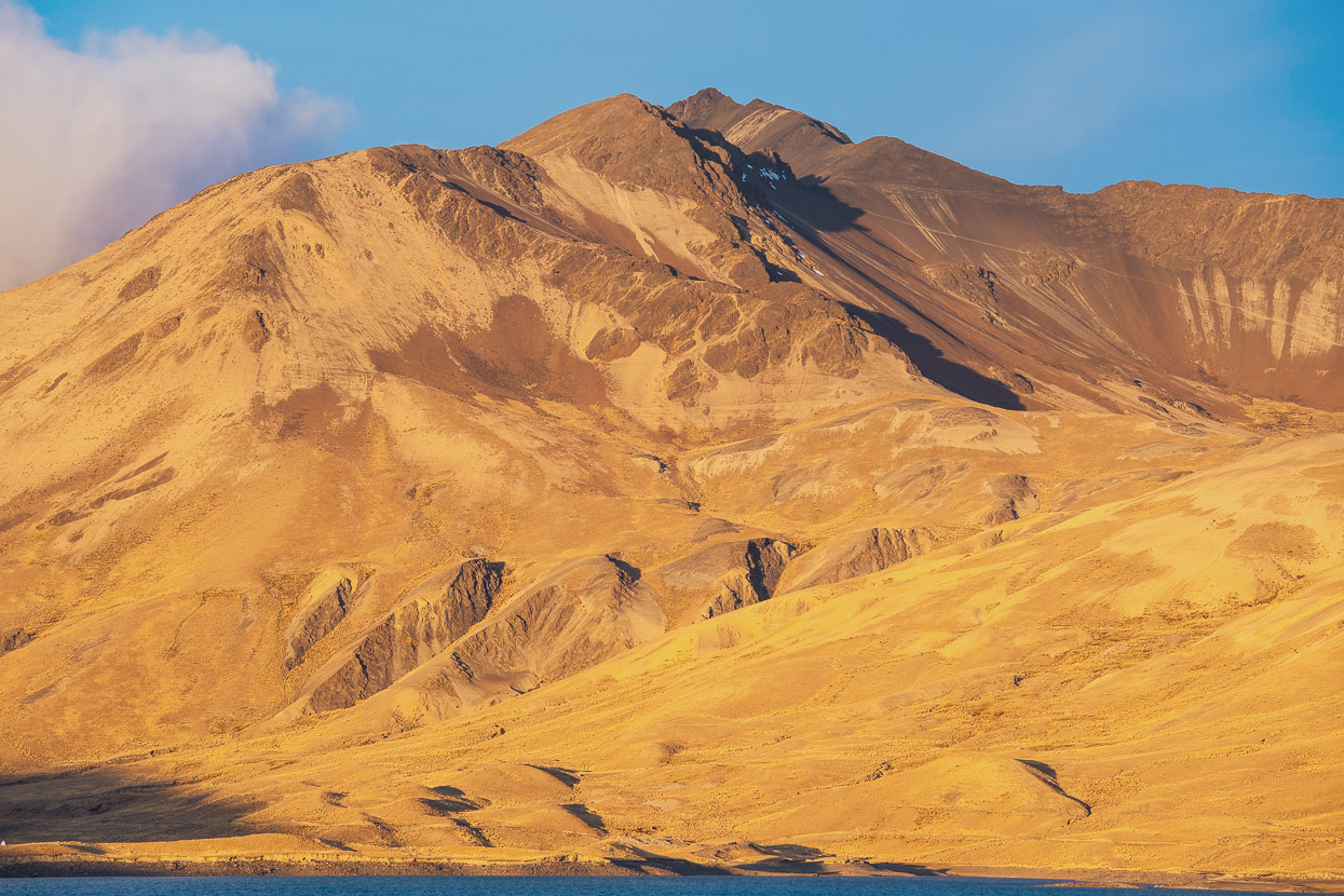
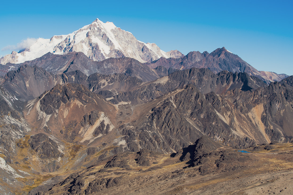
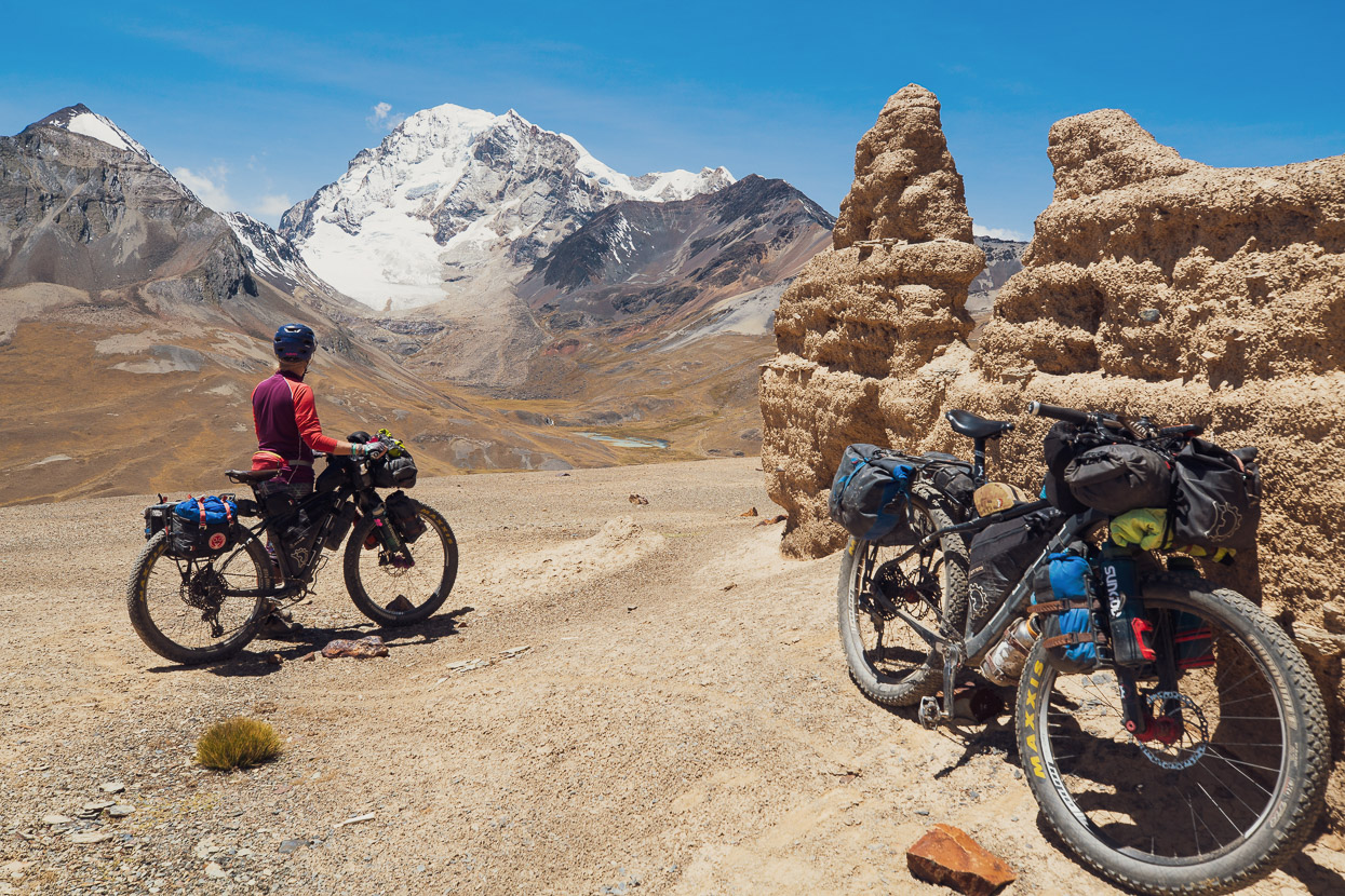
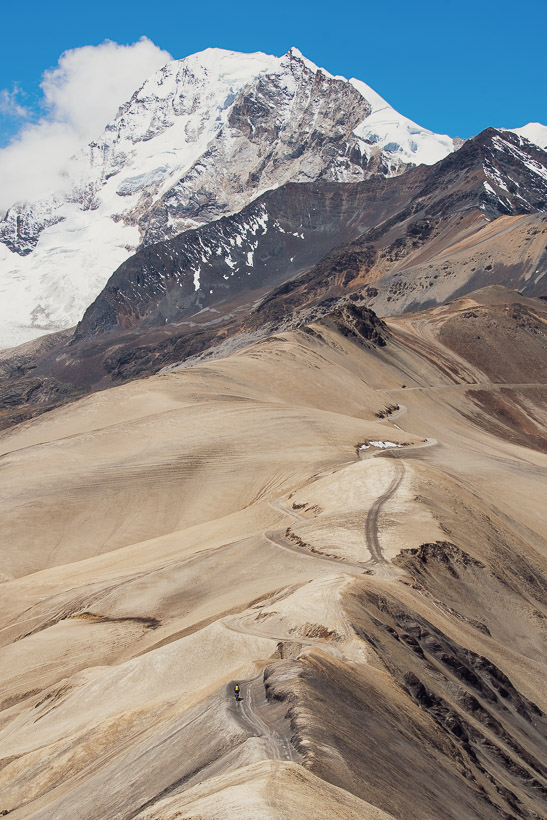
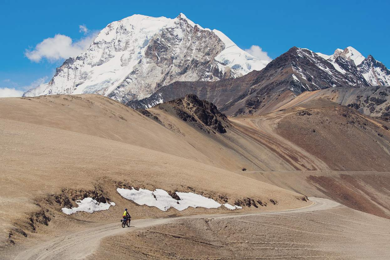
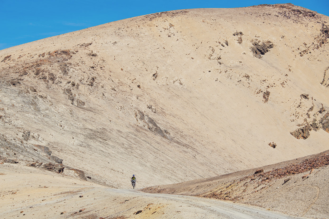
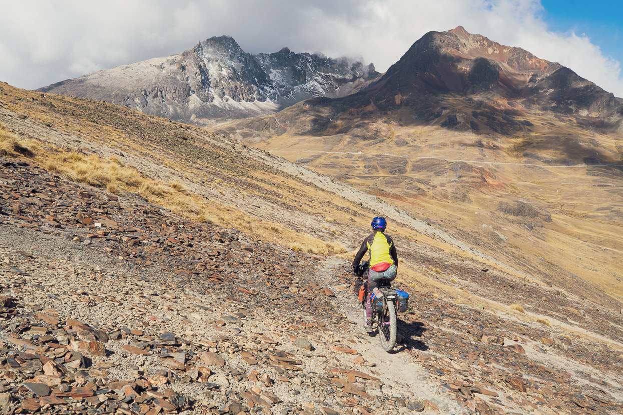
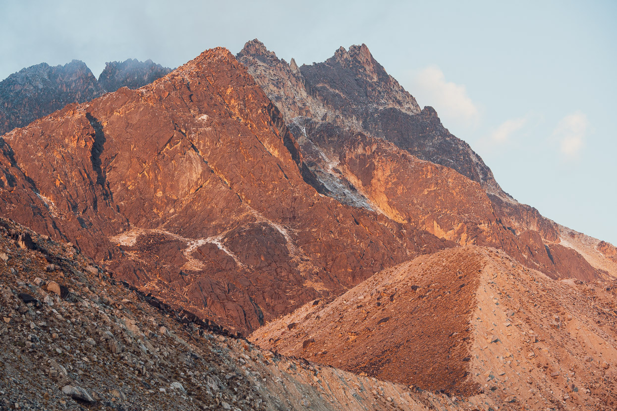
As we gained height the landscape took on a new level of starkness, as we passed the ruins of old mines, colourful mineral bands and arroyos. All the while Huayna Potosi stood opposite – from this side a big raw brute of a mountain.
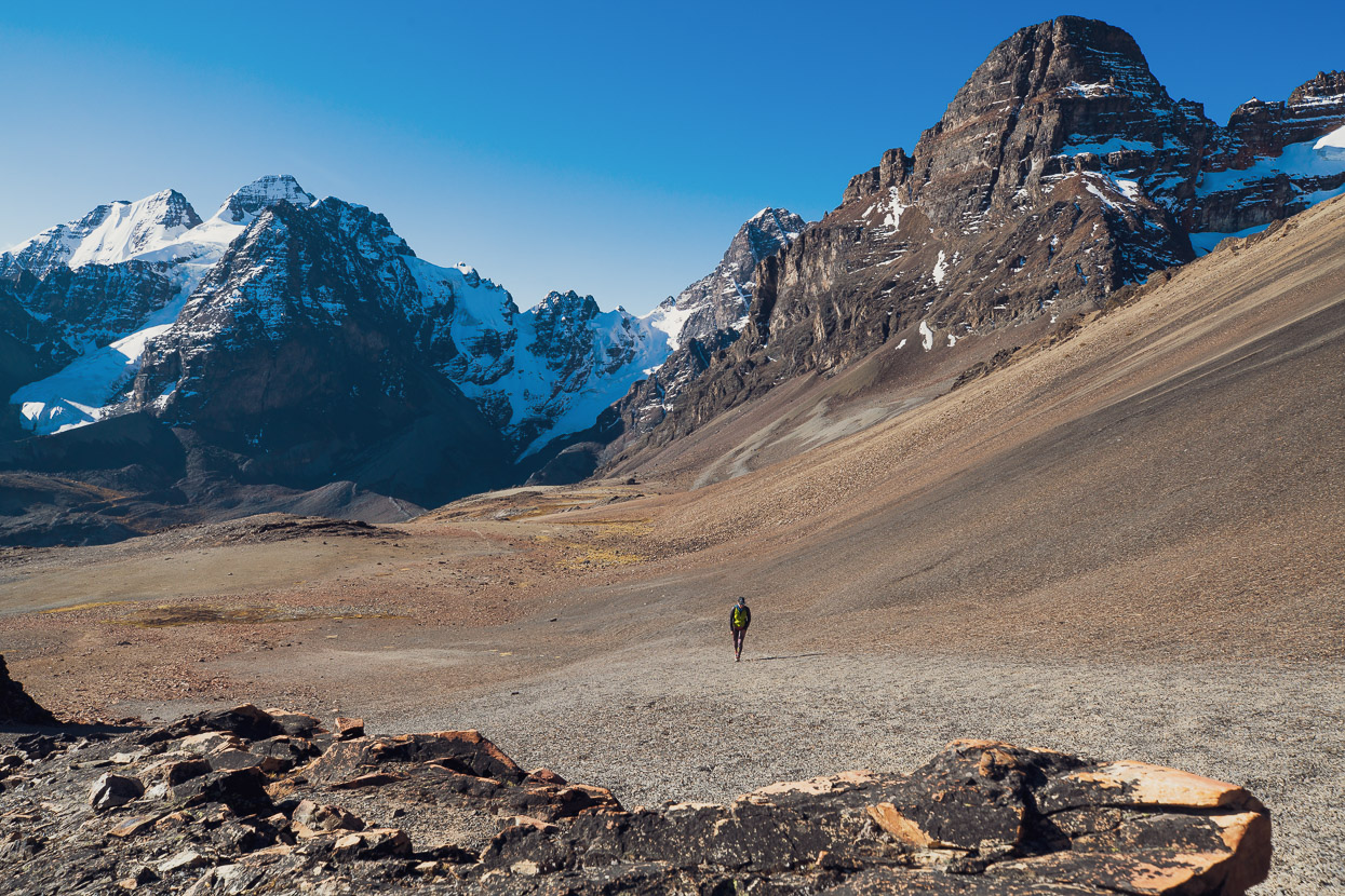
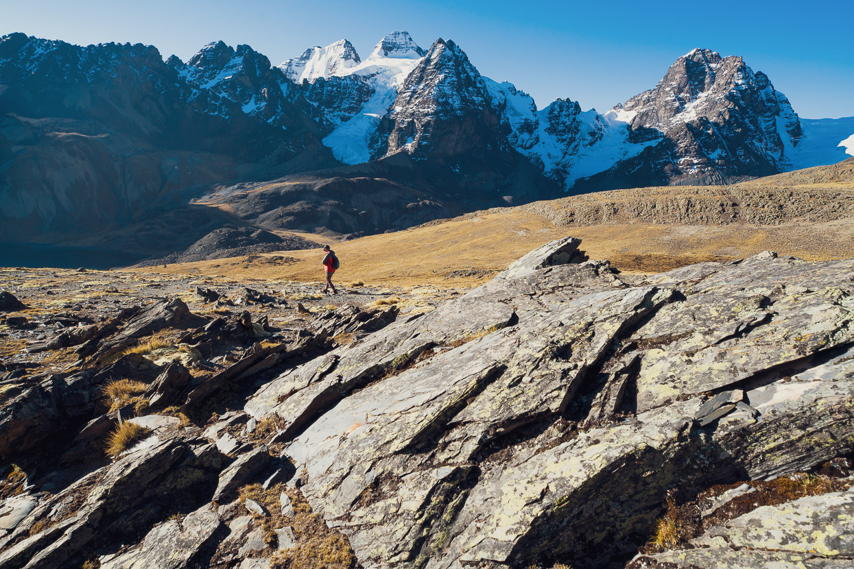
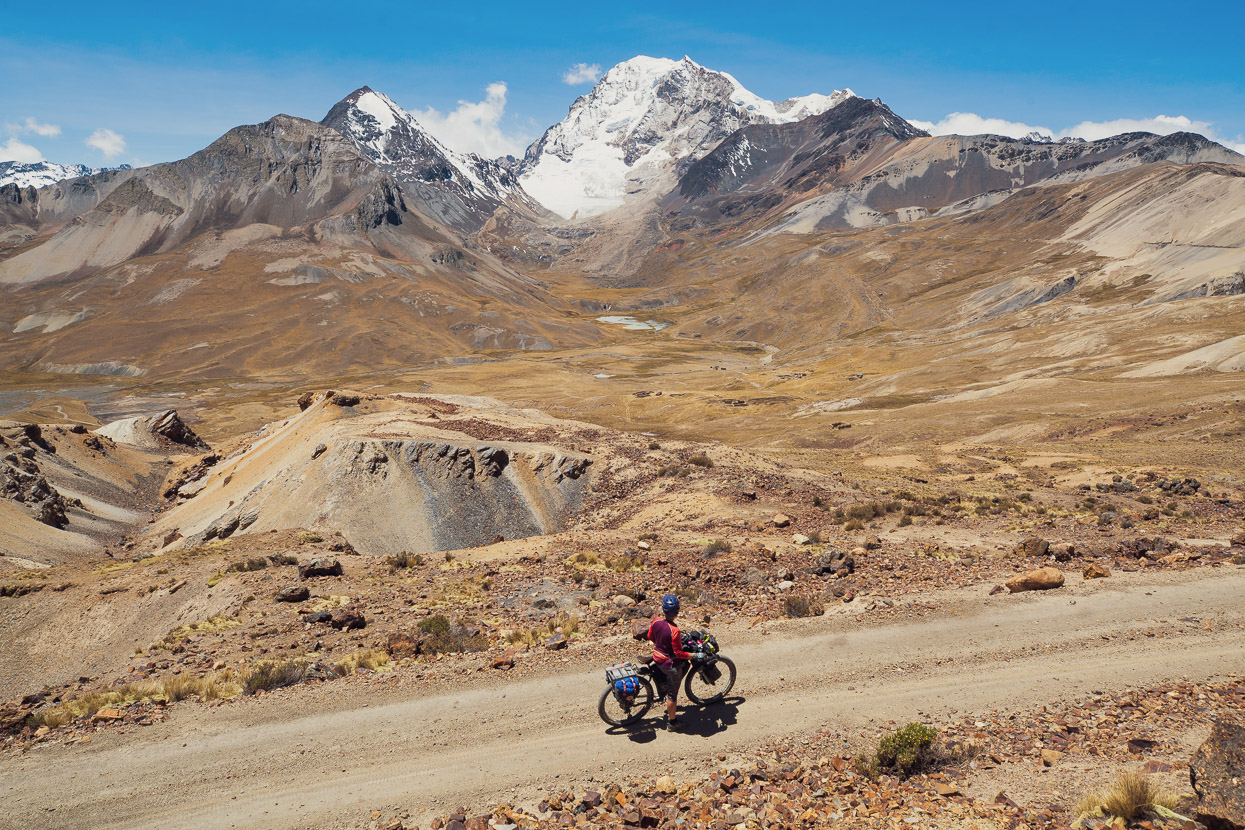
This part of the route was nothing short of spectacular, crossing an barren double pass (one just under 5000m and one just over). Hana’s visible in the bottom of the photo, on the section just after the first pass.
We were nearly blown off our bikes on the second pass, but soon dropped into the shelter of the valley, beneath another aspect of the complex Huayna Potosi.
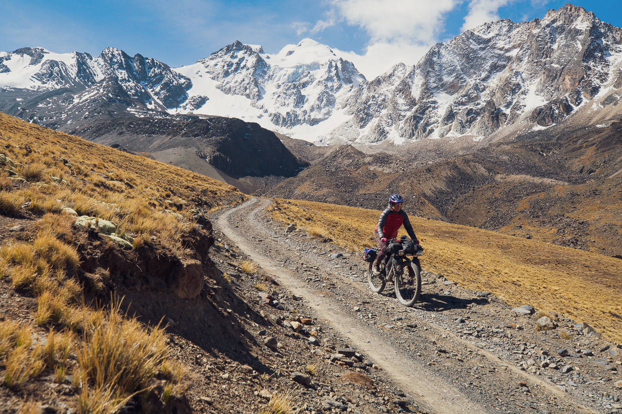
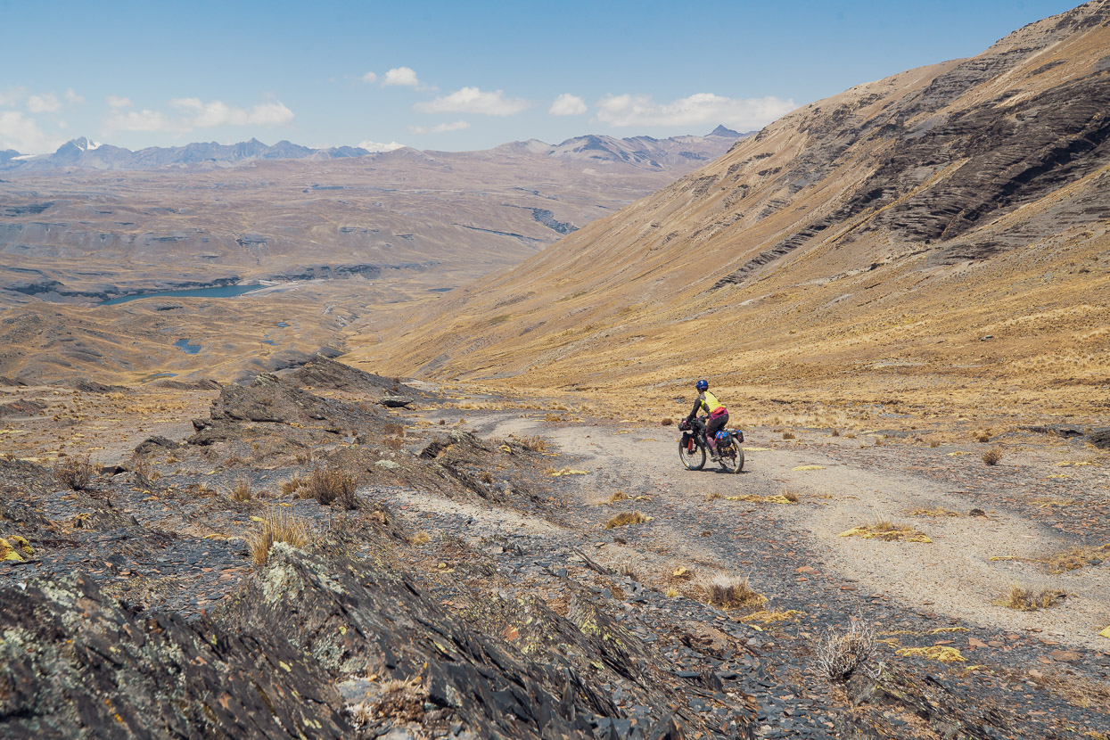
A fast descent carried us down, before detouring off across the pampa and through a boulder field, but then we picked up more singletrack that descended gently across scree and tussock slopes towards another laguna and the road that climbs to Huayna Potosi refugio.
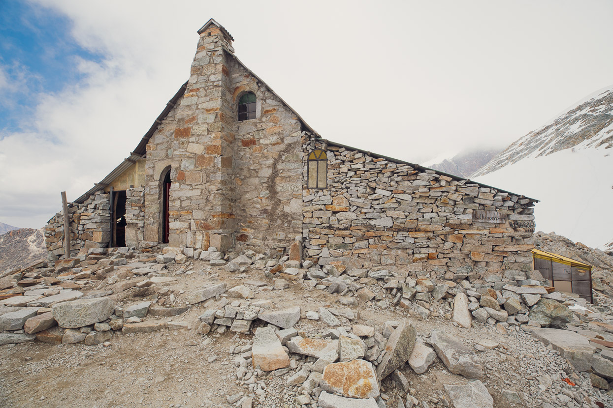
At the time of visiting (late Sept) it’s still peak mountaineering season for Huayna Potosi so the refugios were all busy with various climbing parties. Huayna Potosi is one of the most accessible and attainable 6000m peaks in the world that requires glacier travel and is consequently extremely popular with tourists to Bolivia. Many agencies guide the mountain and provide all equipment, from climbing tools to clothing and boots – making it an achievable objective for many. The biggest obstacle is the altitude and this is by far the toughest challenge for most clients, especially as the ascents are fast tracked into two or three day trips from La Paz.
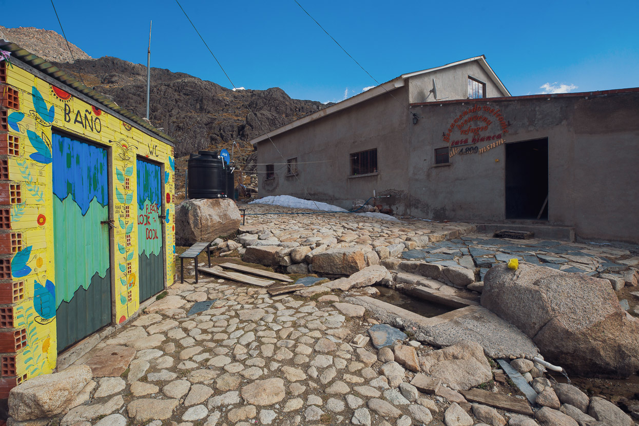
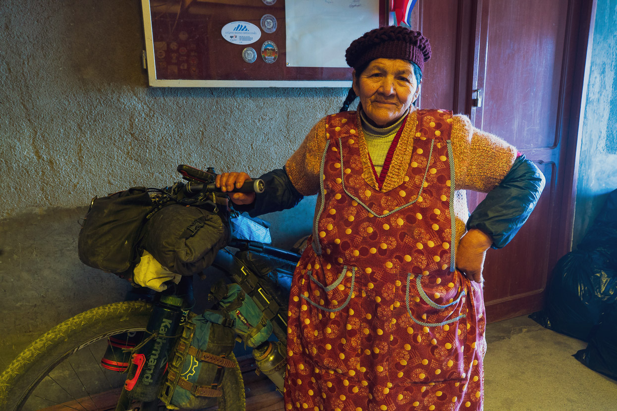
But we weren’t there to climb. Being mountain people we wanted to check the place out of course, so we spent two nights at the Casa Blanca Refugio, where, if you ask ahead of time, three basic meals a day can be made available. This was a godsend for us, with it being day eight since we’d left Sorata with only a lacking resupply in San Juan on the way, meaning we had very little food left.
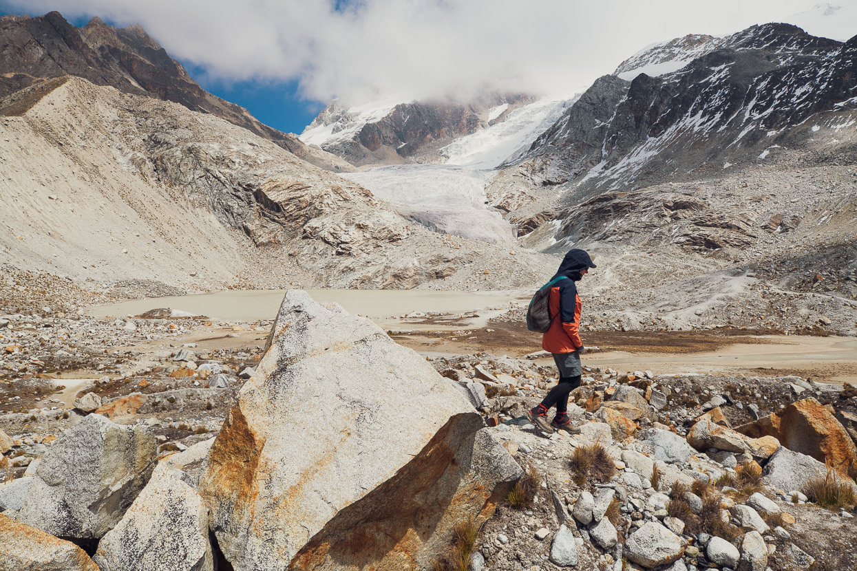
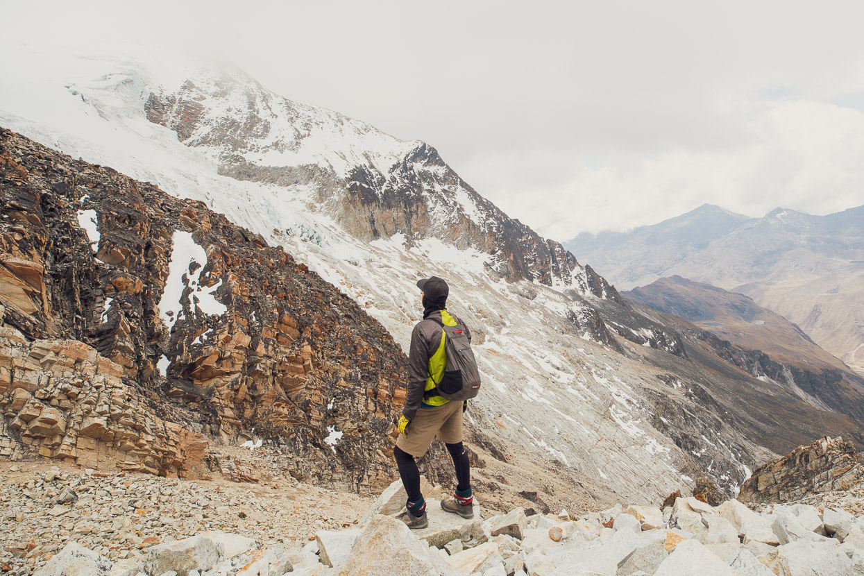
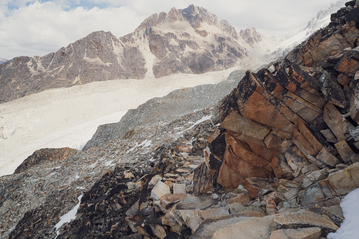
The following morning we headed out for a few hours walk, checking out the lower glacier basins. Hana was feeling a bit worn out from the constant elevation we’d been at, so headed back from just under 5000m and explored the lower mountain, while I continued up alone following the track that leads to the high camps used for summit attempts.
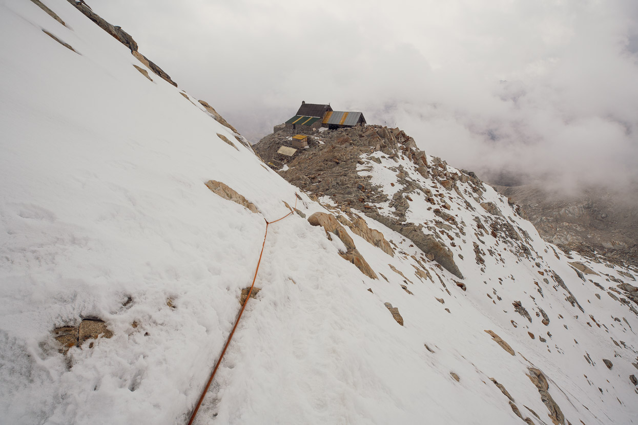
It it weren’t for this fixed rope, I have had to turn back (having no ice axe), but I made it up to the third of four refugios sited along the ridge between 5150m and 5350m (turning back at 5300m). It was good to get high and get a feel for the mountain, but the hoped for views were swallowed by cloud boiling up from the warm air to the east.
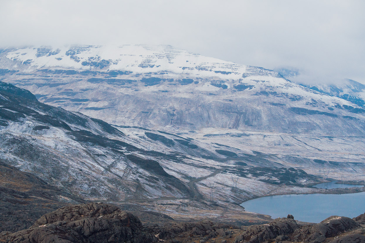
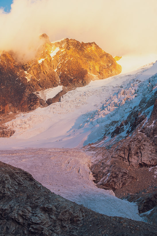
The following morning we planned to leave and make it to La Paz, so I got up extra early and made the 20 minute walk up to the lower glacier moraine in the hope of some good light. It had stormed briefly overnight, dusting our planned biking route with snow.
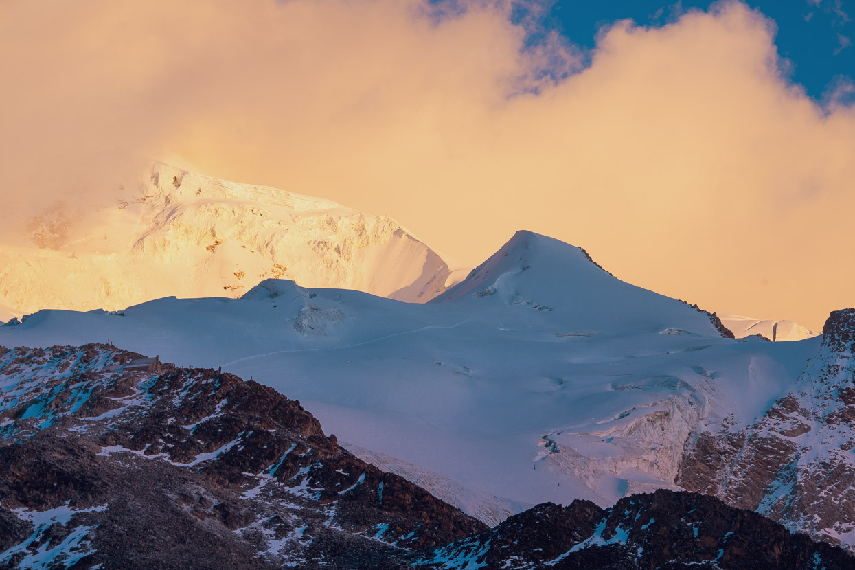
But I got lucky with a light and a colourful sunrise bathed the upper mountain in pink and orange light for a while.
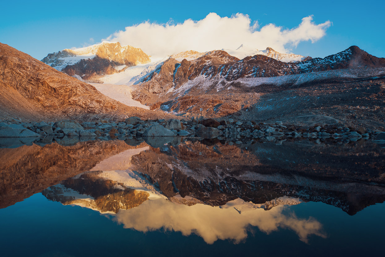
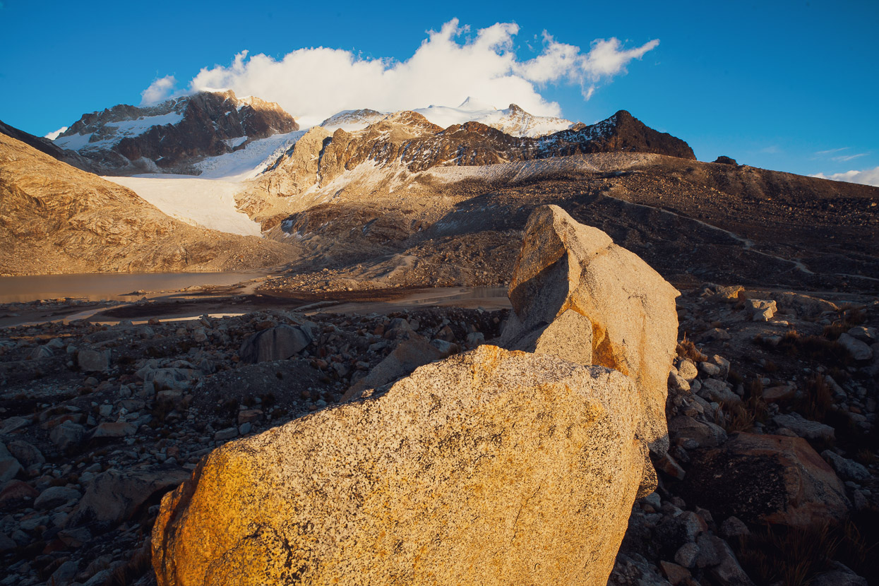
It was a beautiful time to be out, alone up there. Clouds flowed fast on the wind over the top of the mountain, but the lower slopes were calm. The only sound being from some native ducks who called the icy moraine lakes home.
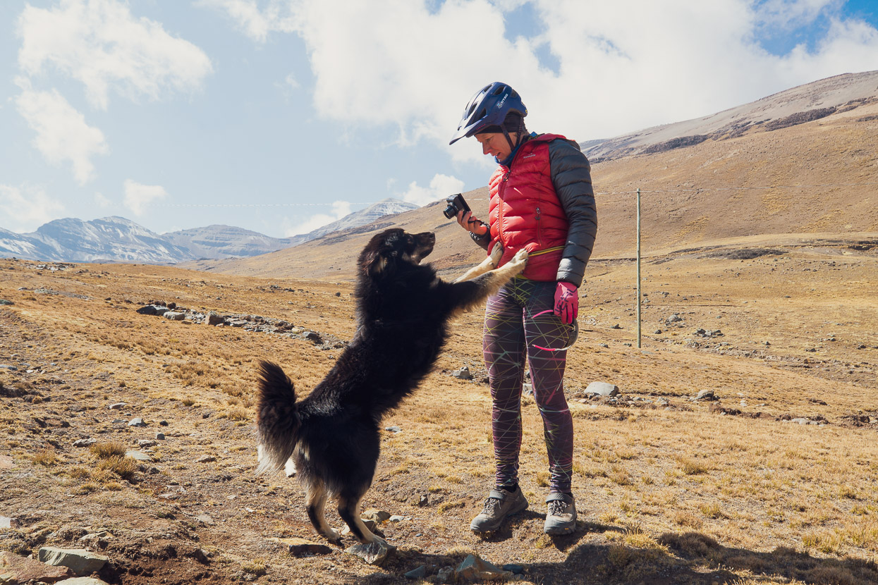
We were riding by nine, by which time most of the snow dusting has melted already. The sun at 4600m is intense. Shortly after turning off the main road for our next pass we were greeted by two enthusiastic dogs. We met their owner soon after, who wanted to know what we were up to as he likes to keep an eye on who goes up the valley (you have to cross his ‘private’ land). He thought we were insane wanting to go that way as there is not even a foot trail for sections of the crossing, but in the end he shook his head a little, asked us for some biscuits (he got lucky from my spartan rations), and wished us well.
But we also learned that the dog in the photo’s name was Bovis. Anyway, Bovis and his friend Butthead (as we dubbed him), followed us up the valley, over the untracked pass at 4960m and right down into the next valley (10km). Butthead seemed to give up at the valley floor and we last saw him crossing a possibly perilous creek. But the bigger dog, Bovis, apparently knowing he was doing wrong, shadowed us at a distance of about 200m until we got to the top of the following pass (4800m). Several times we tried to scare him away so he’d return home. But for some reason he decided we were the company to be with.
So it was with two canine companions that we headed to the first pass, the road just an old mining remnant.
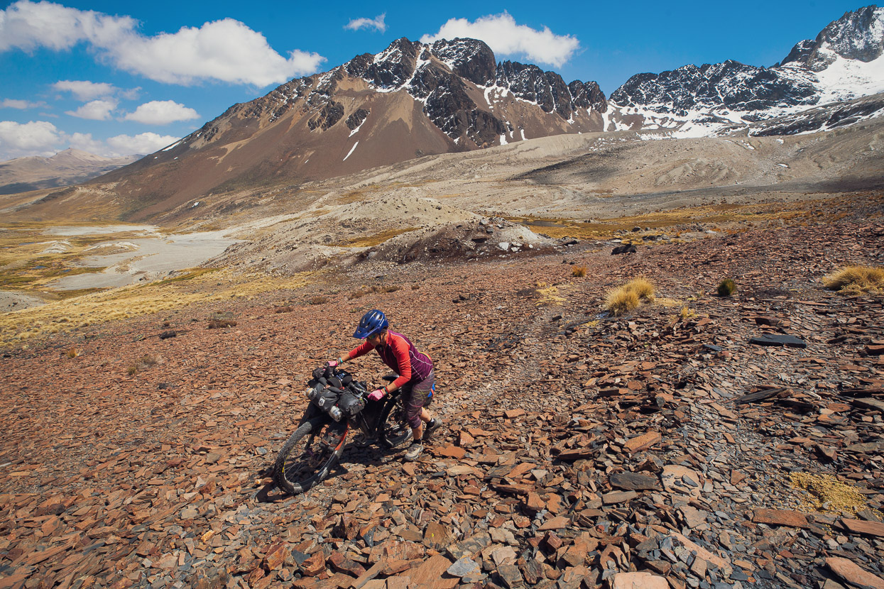
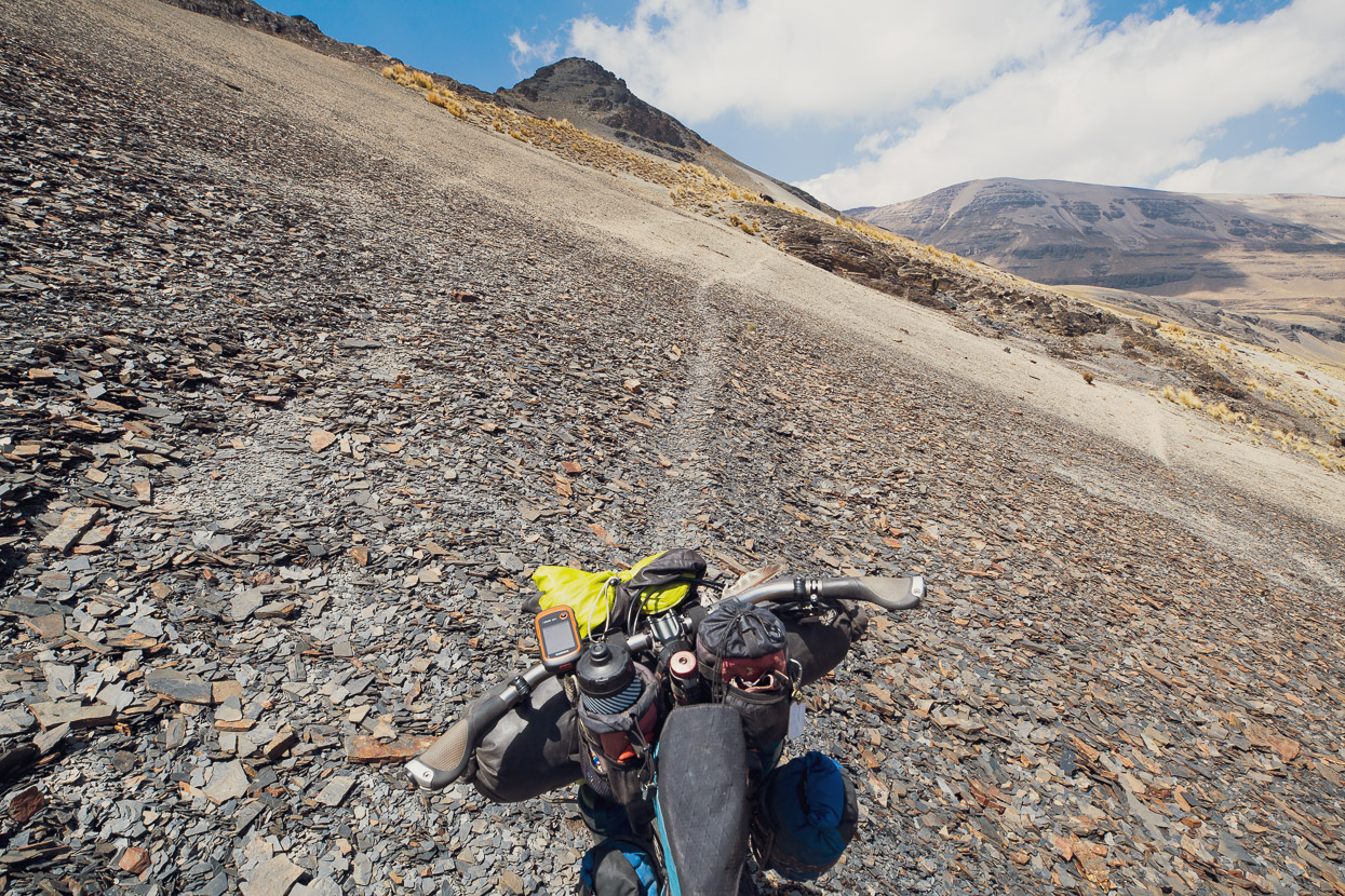
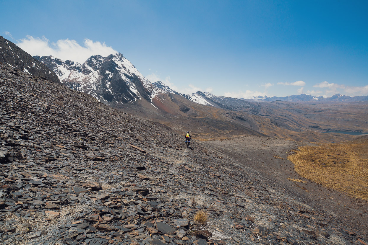
At the terminal moraine of a shrinking glacier we left the remains of the road and began a climb up scree slopes, the lower part of which had a vague ground trail. Quite good travel considering.
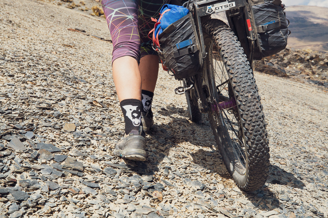
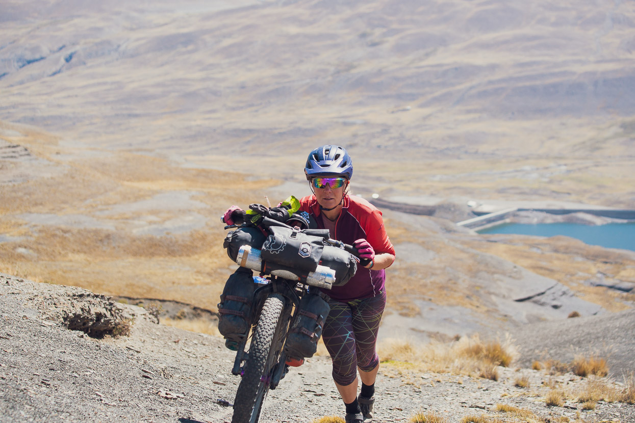
Pushing a bike up a steep hill at just under 5000m is never easy, but a smooth surface definitely helps! We stopped often to catch our breath.
The dogs beat us to the pass by about 30 minutes and sat in the sun waiting for us. The descent down the other side was excellent open-mountain riding with no track to speak of. We dropped a few hundred metres until we picked up another mining road remnant and followed that down to a new concrete aqueduct. This would be a fairly brutal hike-a-bike in the other direction (as the Dammers & co did it).
We were confused for a while on the valley floor when our surroundings bore no resemblance to the map, or the GPX for the route we were following. And then we realised the dam was brand new and the valley only very recently flooded. In the end a maintenance worker there advised us that rather than battle across to the original route after crossing the dam, there was a reasonable cattle track that climbed to the same pass. We had to ride down valley a little way to access it, but it was worth it in the end. It was here that we lost Butthead, but Bovis shadowed us all the way up the hike-a-bike climb.
The pass we descended from is top/centre of the photo.
It was day 10 by now, without a complete rest day (just a half day in San Juan), since we’d left Sorata so were feeling pretty knackered coming up this one, but at the same time we were salivating for the good food in La Paz and that kept us motivated.
A couple of pretty lakes signalled our arrival on the pass in the mist and wind. But it wasn’t until we began to speed downhill towards La Cumbre and the paved highway to La Paz that we left Bovis (somewhat sadly) behind for good. I hope he made it home.
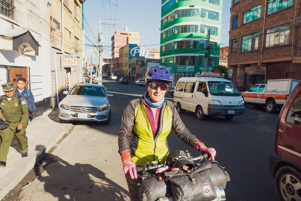
After 10 days of peaks, passes and puna La Paz came as a mild culture shock, but we managed to navigate the sometimes extremely hectic city and make it to our hostal.
As I write this it’s a week since we arrived in the city, and this blog post, like another not too long ago, has a medically-related post script. It’s been an unlucky year for us in that regard.
During our visit back to New Zealand in August/Sept Hana had a biggish mole (1cm long) on the right bridge of her nose, near her eye, checked out. It’s been there at least four years, and been checked previously, but in recent months had started to visibly change. In NZ the inspecting dermatologist considered it suspect right away and biopsied it, but we didn’t get the result until we got back to Bolivia: basal cell carcinoma, which is a relatively common form of non-invasive skin cancer, but has to be treated as a very small percentage do go awry, and it’s in an extra risky area, being beside the eye.
Consequently, a couple of days ago Hana had surgery by a highly recommended Bolivian dermatologist/oncologist to remove the mole. In these cases a 4mm margin is required right around the site – but because of the location (over the cartilage of the nose and right beside her eye) it has required a skin graft to suitably close the wound. The graft was taken from behind her ear. The excised area has been sent to a lab to check its margins are clear of bad cells, and in the meantime Hana is recuperating with a patch over one eye and regular painkillers. We’ve had one follow up (to the surgeon’s satisfaction), but it will be another eight or nine days before Hana is able to ride again, assuming no complications with the graft or the final pathology results.
So another forced rest, unfortunately right when we were getting going again. But that’s life on a tour this long. At this stage we’re still on a timeline to finish in Patagonia April or May 2020, and looking forward to getting back into it as soon as poss!
Thanks for following and adios for now.
Do you enjoy our blog content? Find it useful?
Creating content for this site – as much as we love it – adds to travel costs. Every small donation helps, and your contributions motivate us to work on more bicycle travel-related content.
Thanks to Otso Cycles, Big Agnes, Revelate Designs, Kathmandu, Hope Technology, Biomaxa and Pureflow.






I hope you have a swift and total recovery from your surgery and you’re able to use the time to rest and recover. I’m a similar vintage to you and I think that it’s remarkable how you manage your bodies. I do a lot of riding and running and have to do regular maintenance to keep mine in shape. By the way, do you have a daily stretching and flexibility routine?
Has your route planning and navigation changed, are you using any new apps? How are there new bikes going, I imagine there’s been a change in handling coming from change from a steel frame with 2.2”ish tyres to carbon frame with 3” tyres? Was there much of a weight reduction?Given your extensive experience, how has your set up changed from Alaska to now?
Thanks again for any answers that you can give and for sharing your pictures and thoughts.
Buena suerte
Thanks Dermot! Hana is healing well so far but it will be one more week before we can leave. She has some follow-up with the surgeon this week and the graft needs very good care.
We do stretch, but nowhere near as much as we should! I had some intermittent knee pain the first year we were on the road, but since then we have been largely injury free – our bodies are just so used to it! We’ve both ridden frequently since our very early 20’s too.
Route planning is still mostly done in RWGPS, and we use OsmAnd on our phones and a Garmin e-Trex 20 on the handlebar for day-to-day GPX following. Together that covers our bases really well and the moment I would not change anything. OsmAnd is a brilliant app and we like that you can cache satellite map data as well as very good offline topo maps.
We went from running 2.4/3.0 tyres on our Ogres, but with a wider rim and 27.5 inch on the new bikes we have noticed an immediate improvement in all round traction and handling. The slacker geometry of the new bikes makes singletrack and techy riding much more fun (Hana in particular feels more confident) but at the same time it’s well balanced so they still climb nicely. Overall they are better in every way than the old bikes. We saved perhaps 2-3 kilos in weight, but a notable difference is that with the Ogres Hana was not really able to carry her bike, whereas now she can when required over rough steep ground. The 1x drivetrain has proved spot on for the type of riding we do, with a 50t big sprocket to a 28t chainring making them perfect for the long steep climbs we find ourselves on.
Basically ever since leaving San Diego for the Baja Divide we have been more weight conscious, and if you look at our setup then vs now, you’ll see our panniers got a lot smaller! Basically at the start we did not envisage doing so much technical and remote riding, but as we’ve come south we’ve sought that more and more, and our current set ups reflect that. We’re not super light by any means (impossible with all the camera kit and laptop), but it works for us.
Hope that helps!
Cheers Mark + Hana.
The dunk in the river was probably the universe’s way of telling you that you needed a bath.
Absolutely! 😉
Great ride, I just had a BCC removed from the back of my neck, not half as tricky as on your nose Hana! Hope it continues to heal well with no issues.