goodbye mountains, hello amazon
Arriving at Espíritu Pampa had been the end of a major leg of our five week side-tour from Cusco, and the end of the ‘Inca Trail’, as far as seeing ruins was concerned. What we had planned next was to continue north east and then north west, following the Rio Urubamba as it continues its long journey through the Amazon lowlands – paralleling the Andes – towards the Amazon River.
Just two days of riding remained to reach the tiny river port of Ivochote, where we hoped to then board a boat and begin making our way down river.
The crux of this plan would be whether or not we could traverse a treacherous river rapid known as the Pongo de Mainique. The only break in the entire northern wall of the Cordillera Vilcabamba, the door of the bear, as it translates, is a 45 metre wide and three kilometre-long estrecho (narrowing) in the Rio Urubamba. Here the massive river is forced though a slender, boulder-choked gap with towering jungle covered walls on both sides, to breach the Andean foothills and make its final, broader and mellower course north to Atalaya. There it meets the Rio Tambo and becomes the Rio Ucayali for a 1000km journey north to form a major tributary of the Amazon River.
According to our online searches the Pongo was only traverseable after the dry season started, and river levels dropped, in May. While a couple of other people had said that higher water can be safer because it means the boulder hazards are submerged. So we were never sure as we made our towards Ivochote. Since Huancacalle the few people we’d spoken to had all said it probably wasn’t possible due to very high river levels, but we rode on remaining hopeful.
After the previous weeks of hike-a-bike, long climbs and alpine weather it was nice to be in warmer surrounds. We rode in singlets, sweated a lot, drank a lot and loved being back in the lowland tropics; the first time since leaving Mocoa in southern Colombia, nearly a year earlier.
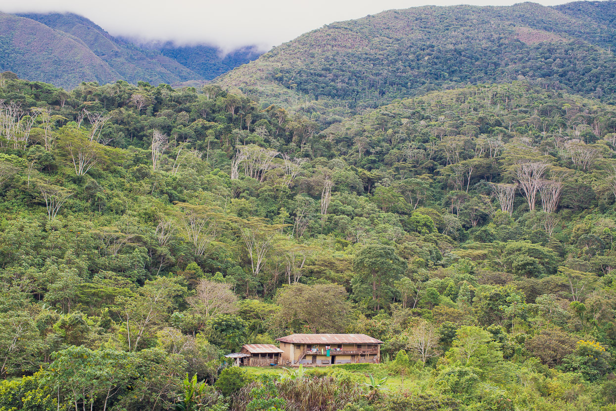
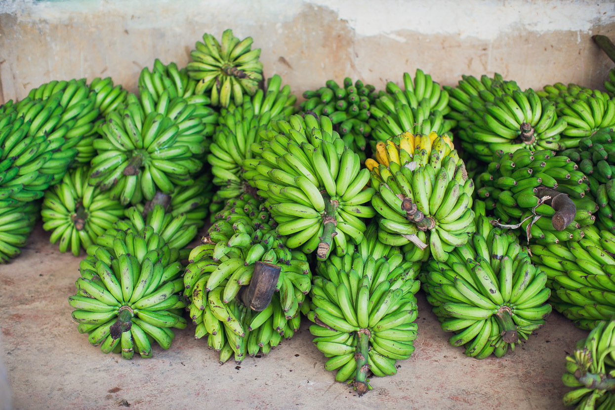
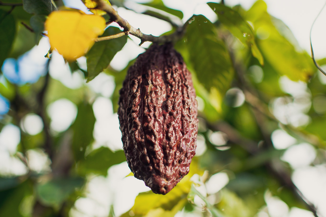
We followed the Rio Consevidayoc downstream, riding through frequent small jungle villages and hamlets. Porches would be piled high with harvested platano and we passed thick groves of cacao plants.
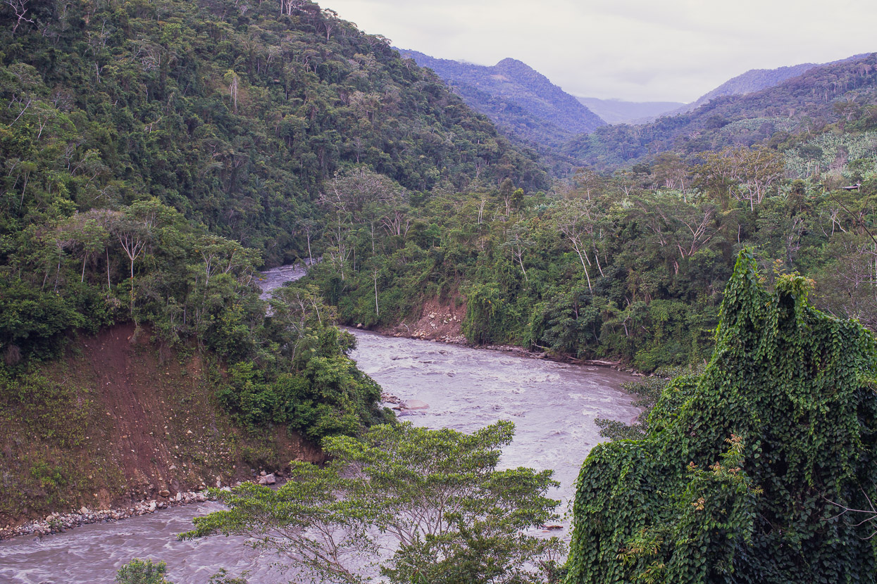
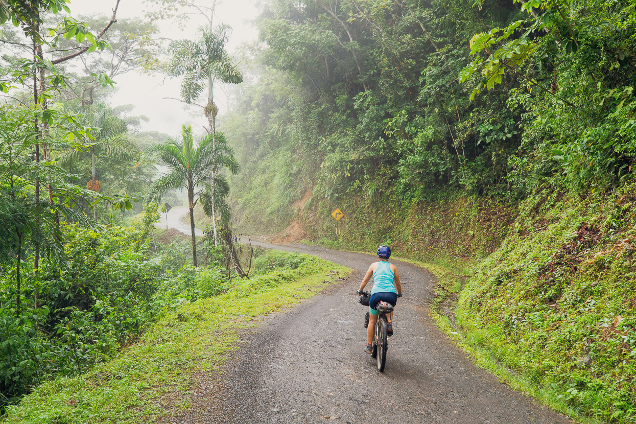
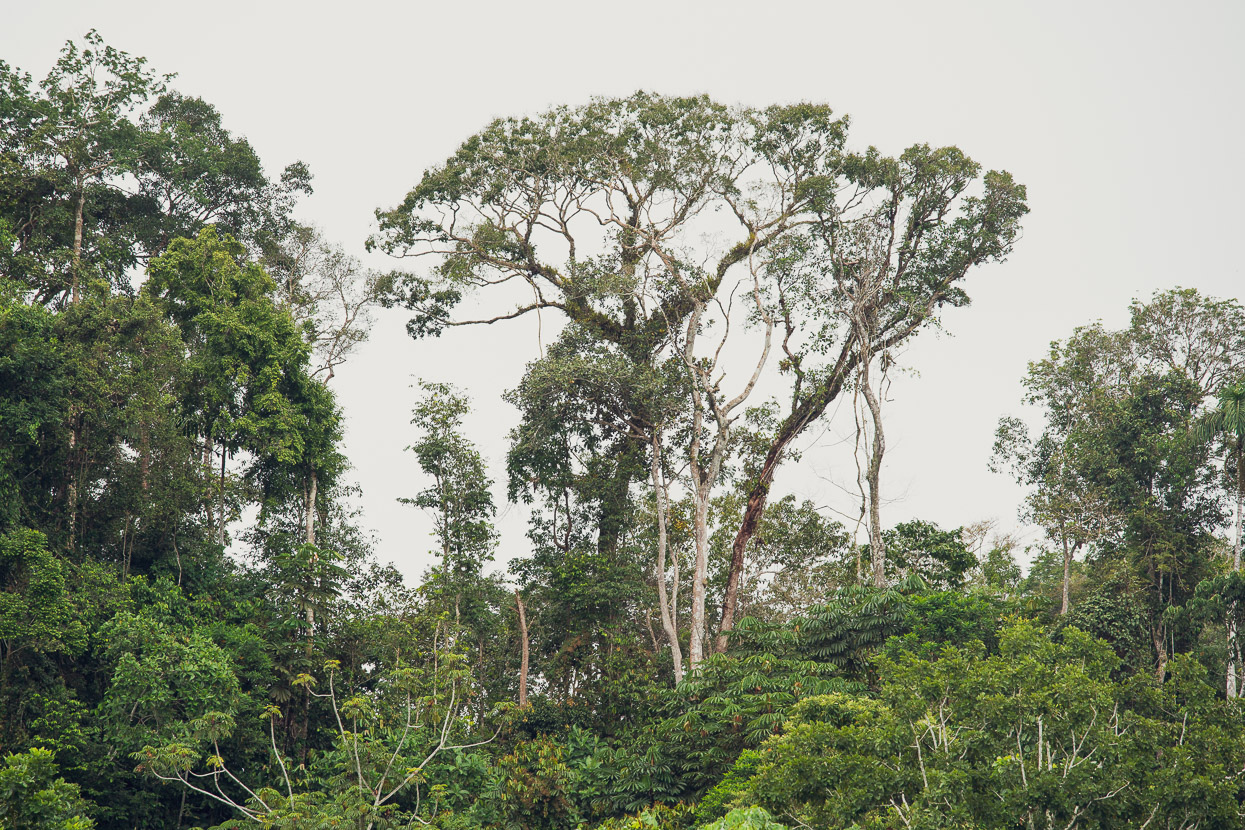
It’s a beautiful area. Much of it is still covered in old growth forest and we saw few large clearings or the kind of widespread deforestation that has permanently changed the character of the highlands. Villages would appear briefly in the seas of green, only to be swallowed again once we turned a corner. The scarce traffic was mostly motorbikes and the odd colectivo van.
We joined the Rio Urubamba at Kiteni and saw for the first time what a different beast this river had become since we’d last seen it at Machu Picchu about 9 days earlier. Churning, fast moving and bank-to-bank it was an impressive sight.
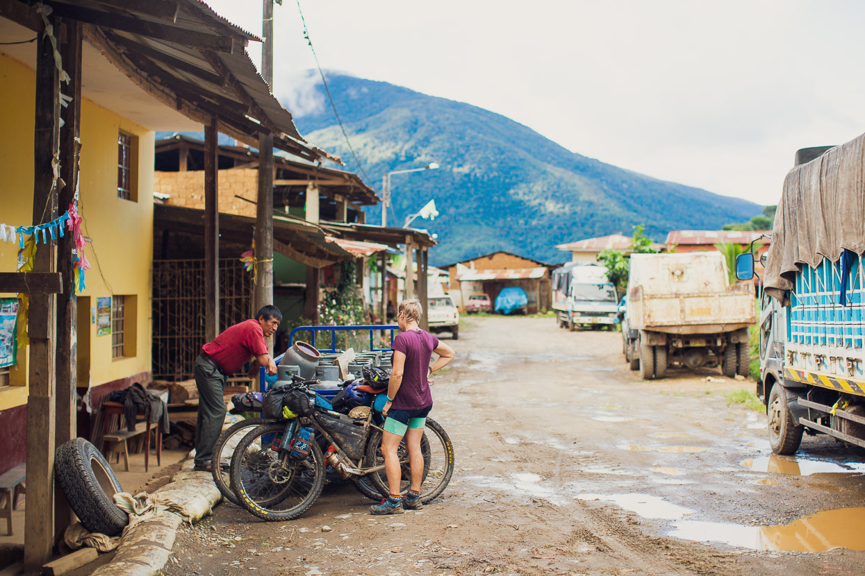
Kiteni was the biggest town we’d seen in 9 days too. Its a funny place and we felt like we’d ridden into a different country entirely. We were beginning to nudge Peru’s coca plant and cocaine production region now (the VRAEM) and Kiteni is on one of the corridors used to transport cocaine from the area. We could tell right away, by the AK47 armed guard in camo fatigues outside the police station. The town is also a headquarters for an oil and gas mining project at Camisea, deeper in the jungle. Their heavily fortified base is built on the top of small hill on the edge of town and has been a target for Sendero Luminoso terrorists, who blew up three helicopters there in 2012. There was a slight air of tension in town; it didn’t feel as relaxed as the mountain towns we’ve become used to.
Unfortunately we still couldn’t find out anything for sure about the pongo.
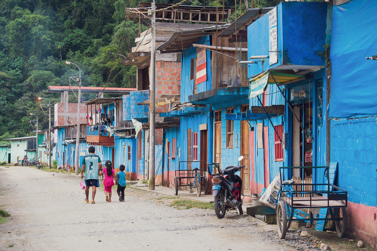
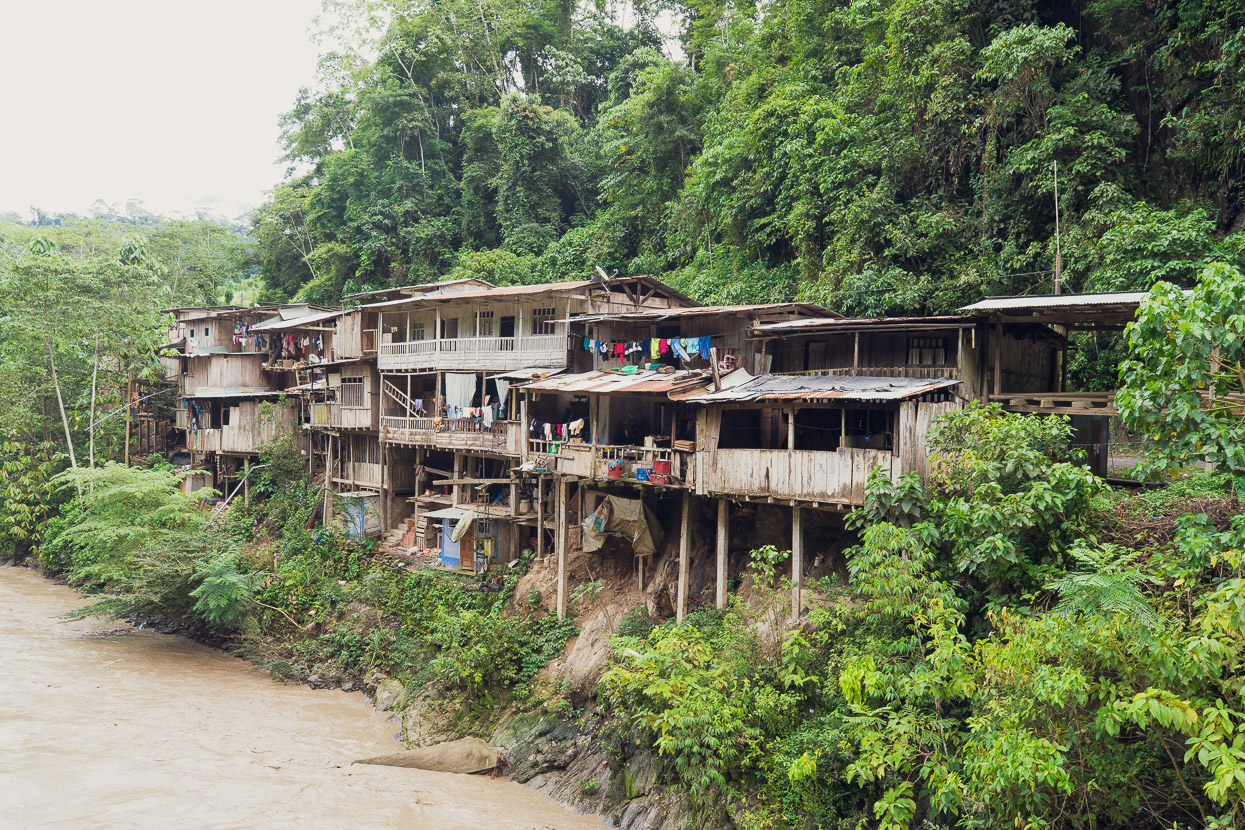
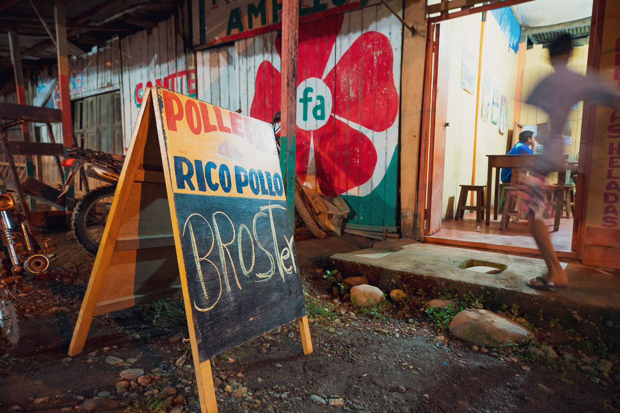
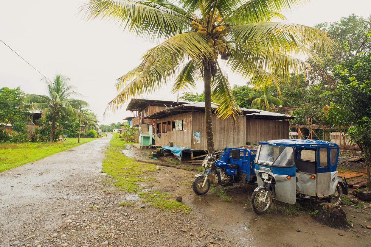
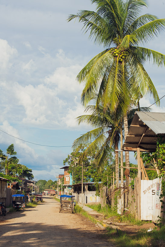
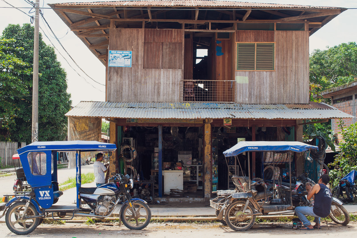
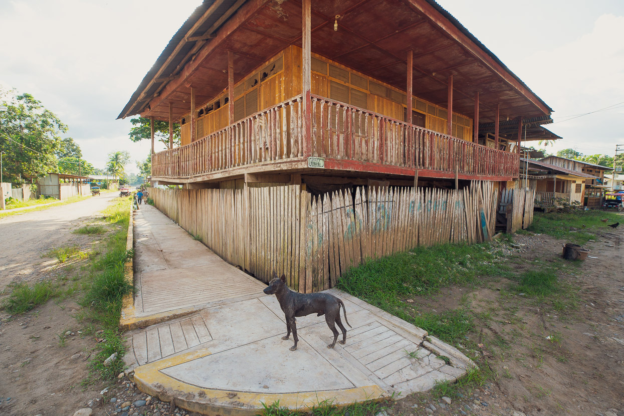
The older parts of town reminded us a lot of SE Asia, with ramshackle wooden buildings, dirt roads and the thick humidity.
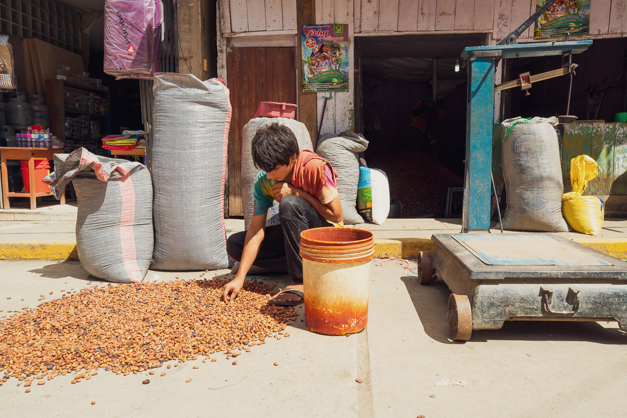
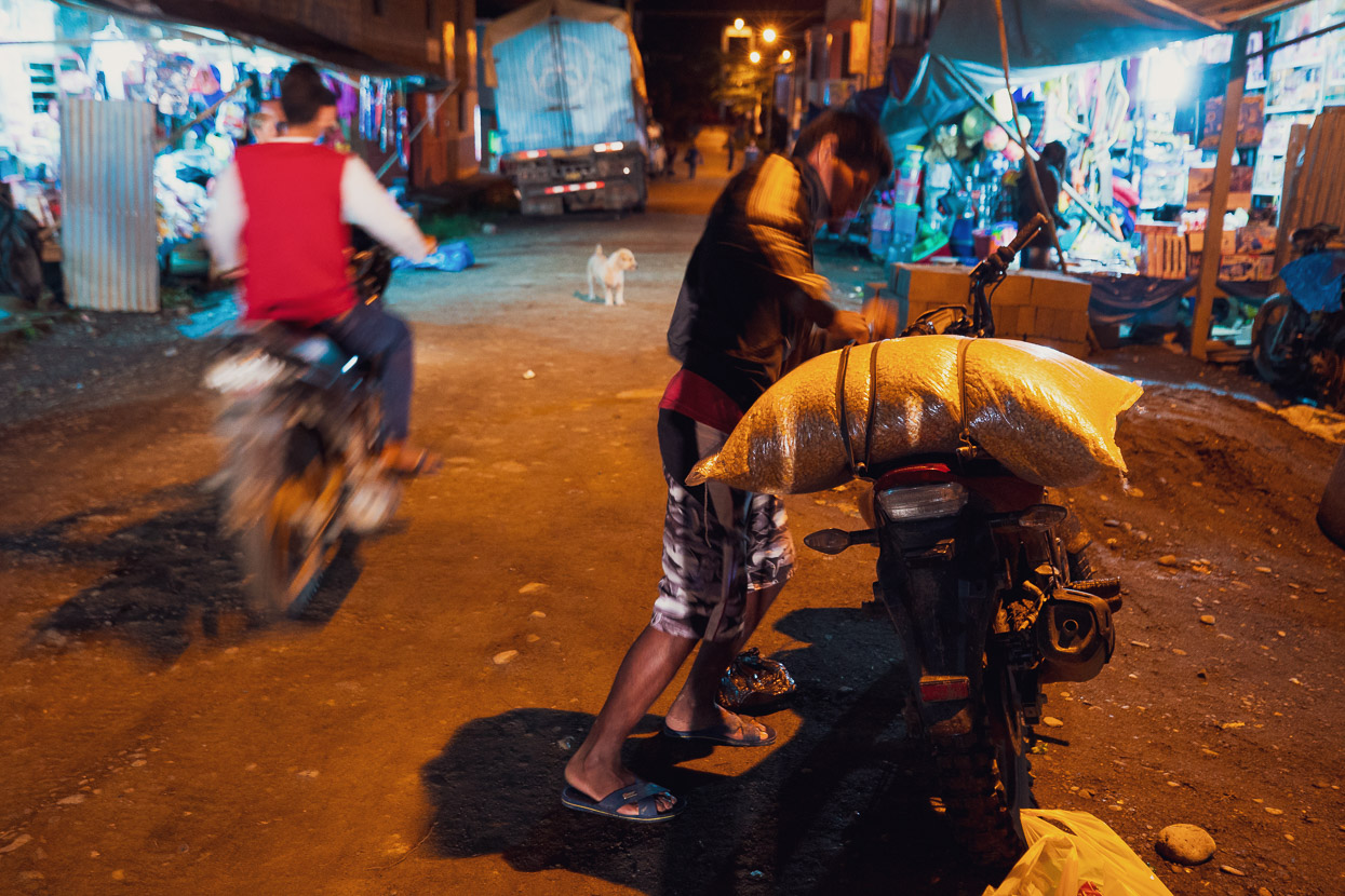
It was market day the day after we arrived. Dozens of campesinos made a trip to town for the morning to deliver their cacao for purchase by the bigger vendors. It’s sorted, weighed and bagged for delivery outside of the region.
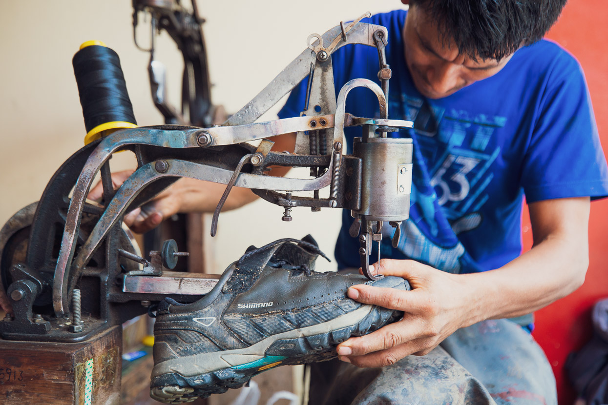
My shoes had taken a beating the past weeks so I made a visit to the market for a while-u-wait repair.
After a day’s rest we hit the road again. Following another very quiet jungle road alongside the Rio Urubamba.
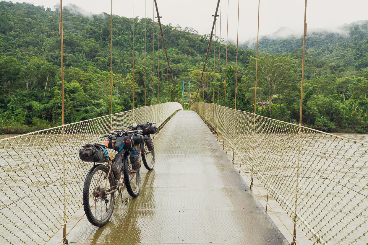
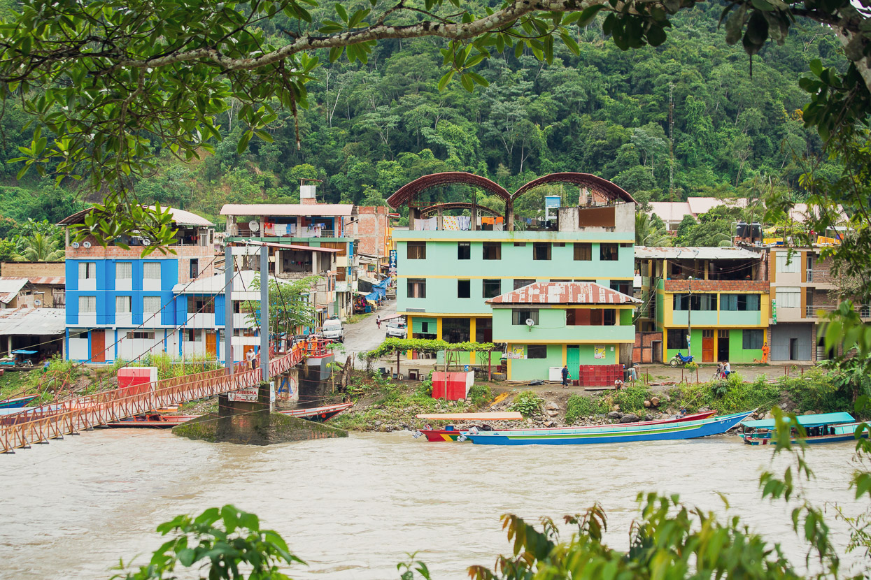
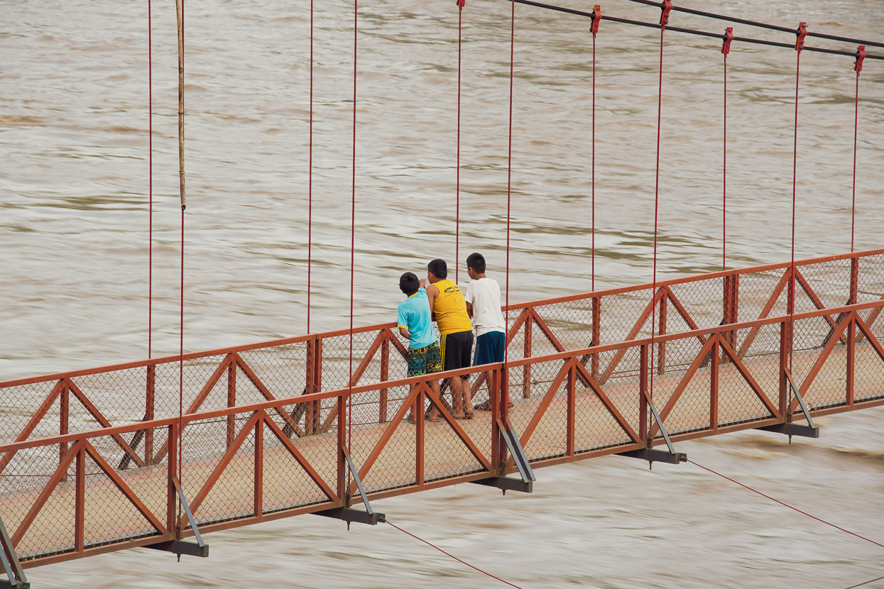
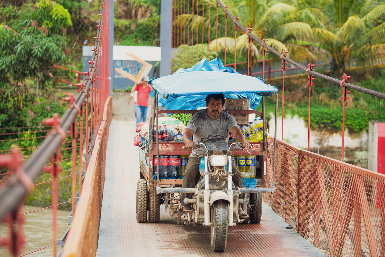
After Kiteni there are no further road bridges across the Urubamba, just pedestrian/moto bridges like this one. Installing these must have made a big difference to the region, with villages now more easily linked and trade and transport improved. There’s roads down each side of the valley as far as Ivochote, but both are subject to wet season landslides and mud and often closed.
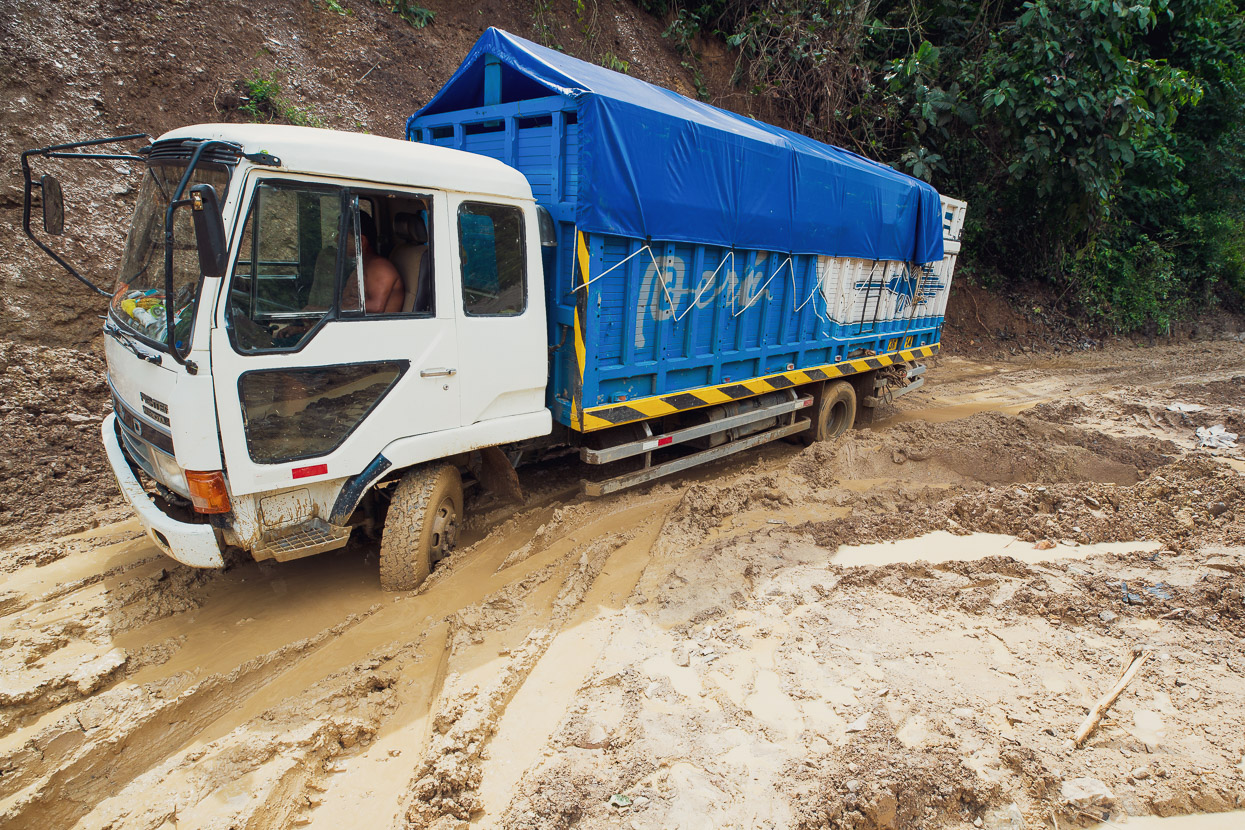
This truck was well-stuck and held up the traffic for several hours.
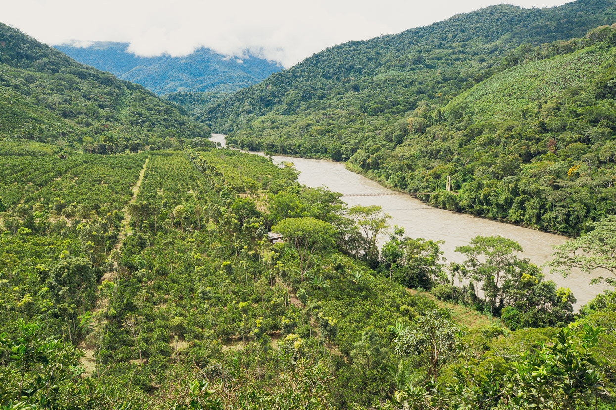
A large banana and orange plantation on the banks of the Urubamba.
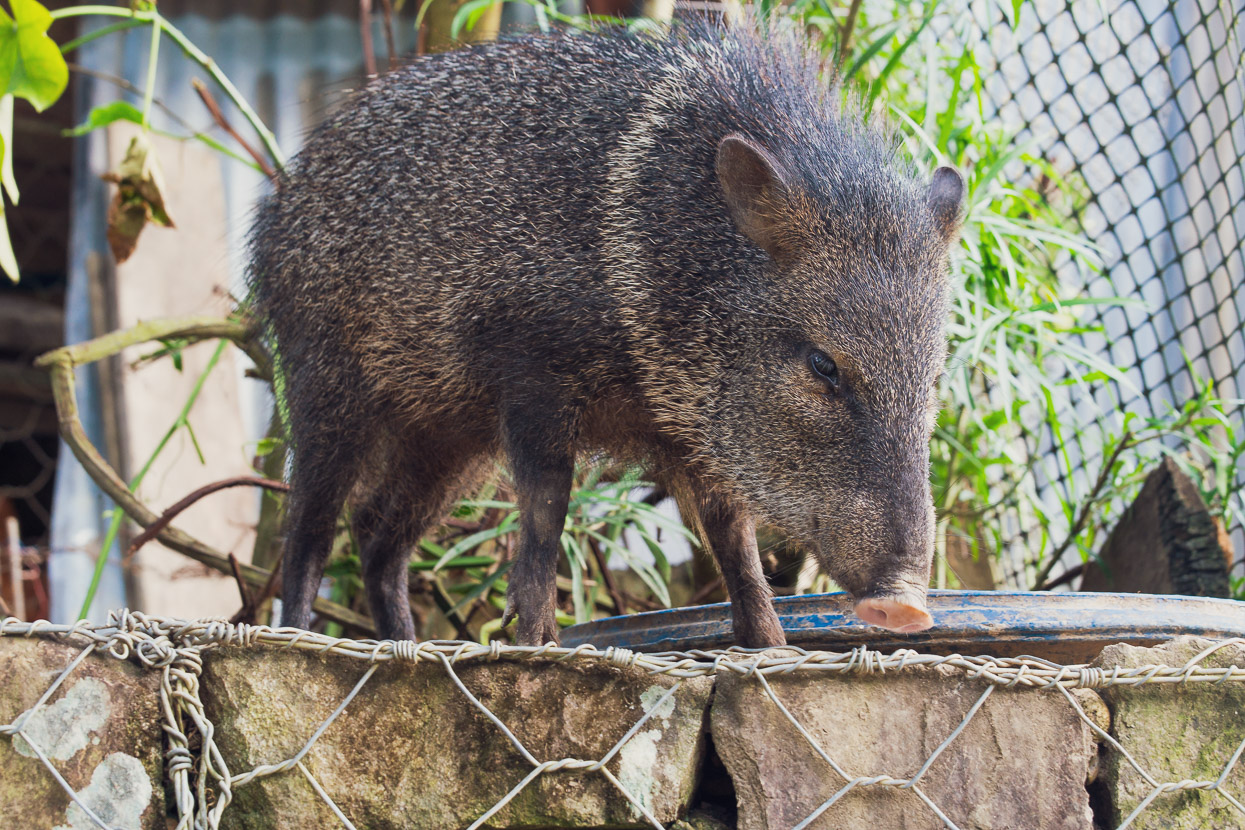
Sadly we saw little wildlife, but there were hundreds of vibrant butterflies.
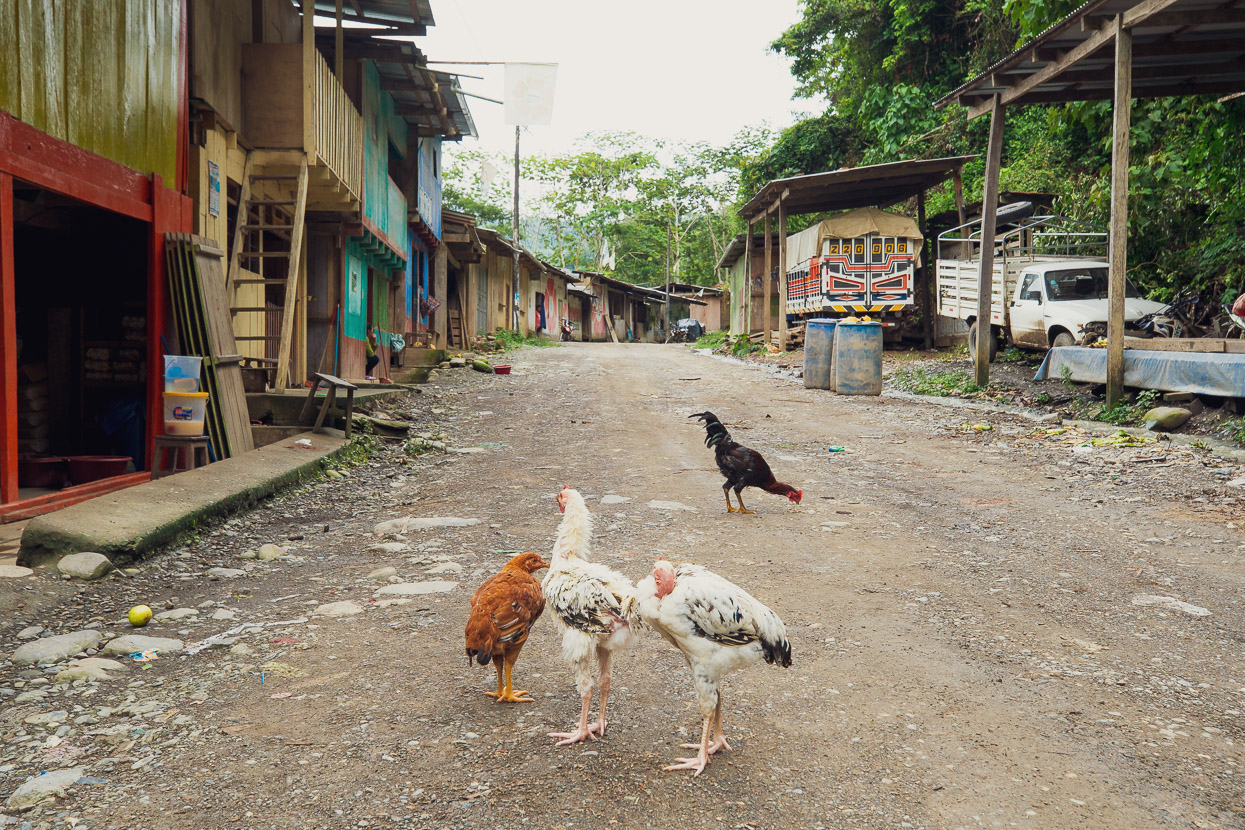
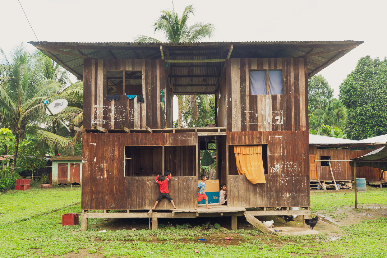
Every little village had a run-down, rudimentary look about it. People here get by with very little.
The small river port of Ivochote is basically the end of the road if you’re headed towards the Amazon basin proper, as we were. Tracks do continue to one more small village at Saniriato, but if you want to get in a boat to travel further north, this is the place to do it. From here, the river is the road.
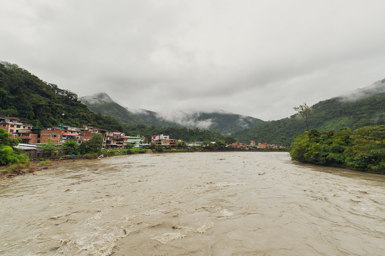
Our friends Simón and Nacho (260litros) were also en-route to Ivochote via another remote bikepacking adventure so we waited a day for them to arrive, but via InReach found out they were still a couple of days away. Sadly we didn’t have time to wait. The good news was that boats were going through the pongo, normal, as they say here. The river was even bigger than we’d seen it at Kiteni, high, brown and fast moving.
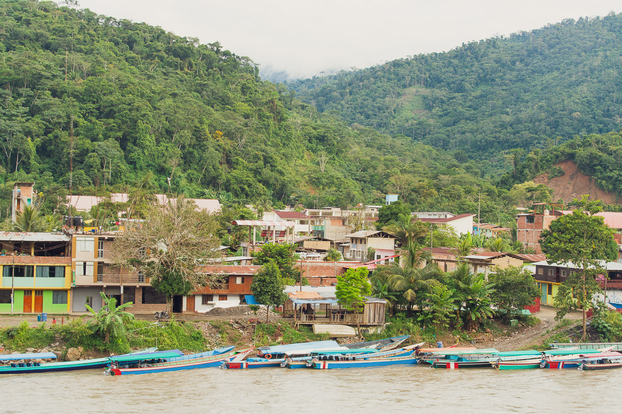
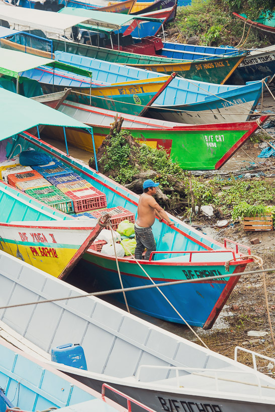
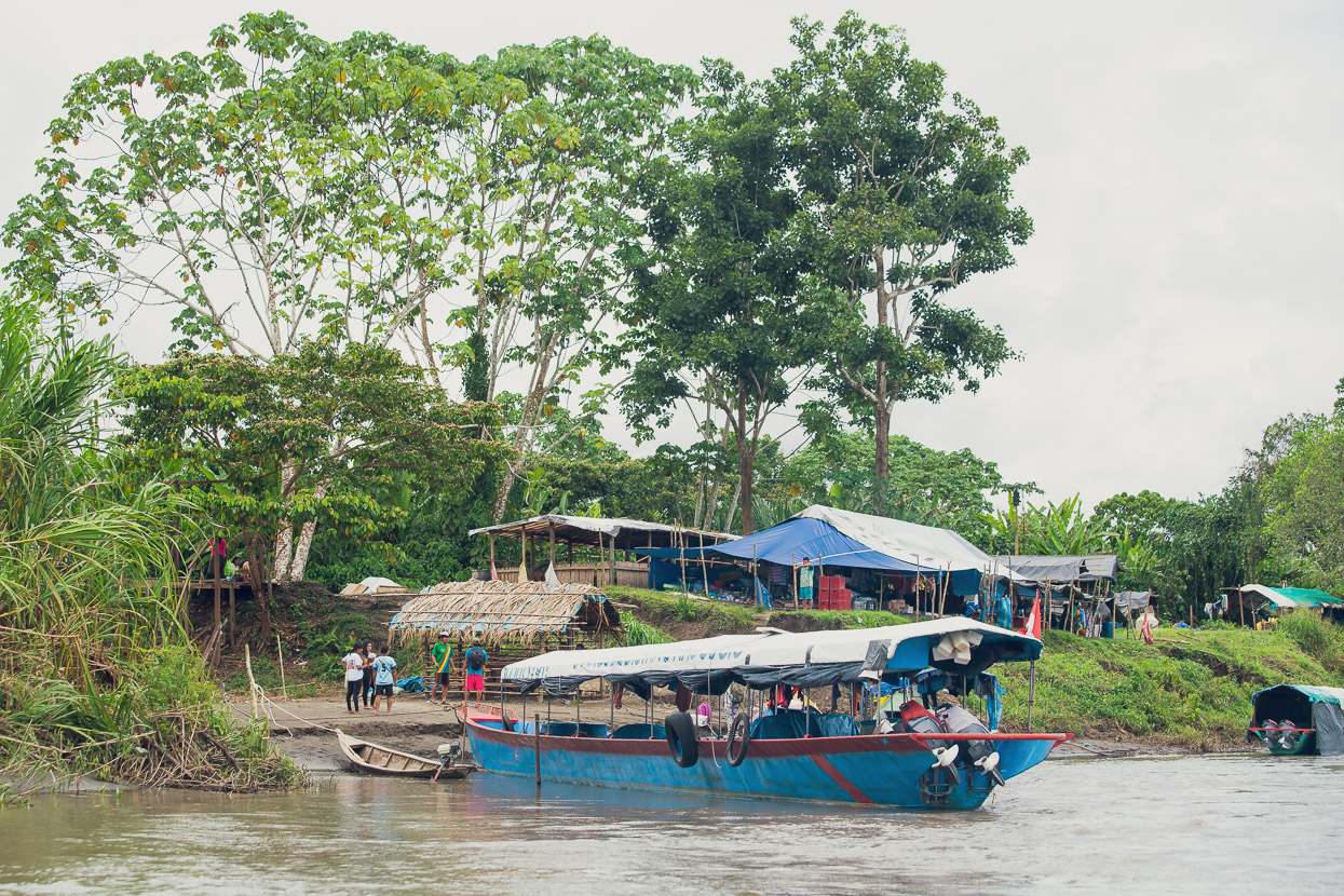
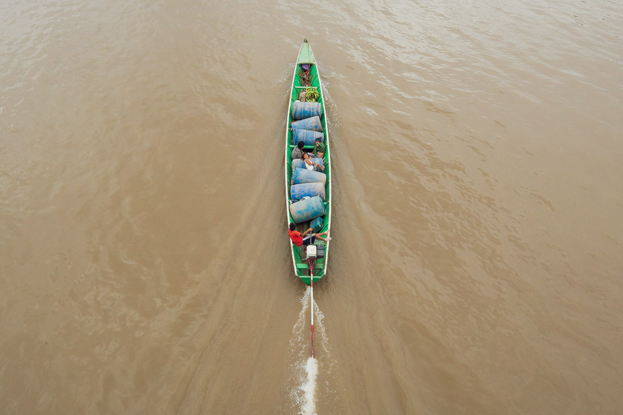
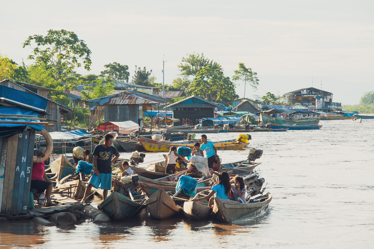
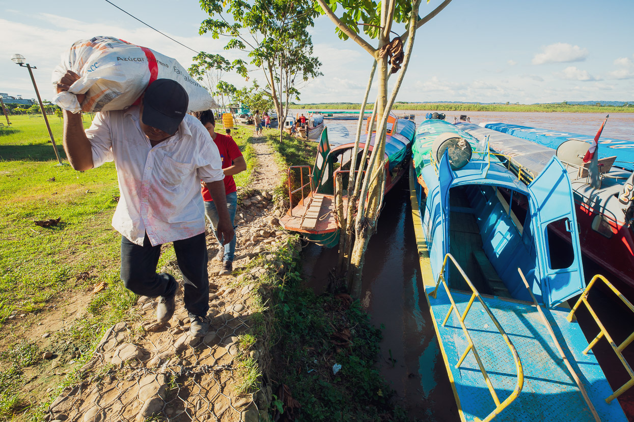
Ivochote’s the biggest village for some distance and the first sizable place reached if coming towards the Andes from the Amazon. It was quite busy with trucks and boats coming and going, transporting food and supplies to remote settlements deeper in the jungle and along the river.
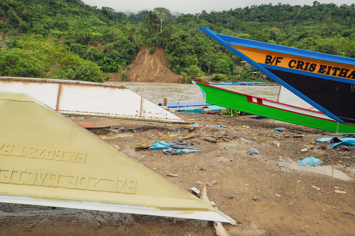
The boad yard was busy too, turning out more botes. The taxi boats are colectivos and the faster boats called carerras (racers).
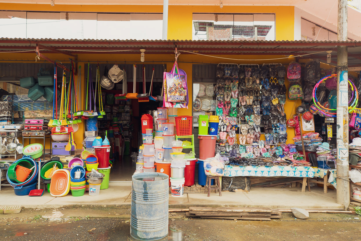
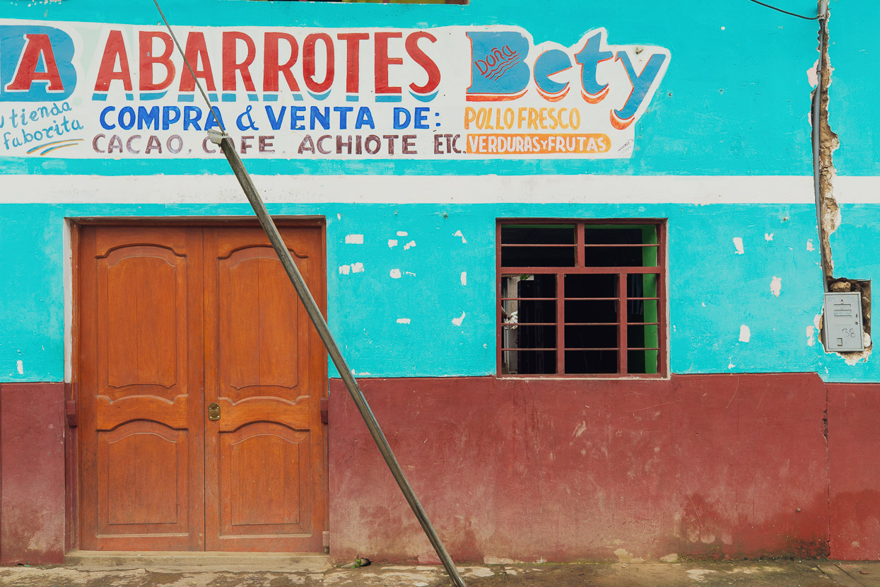
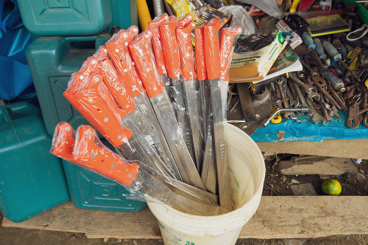
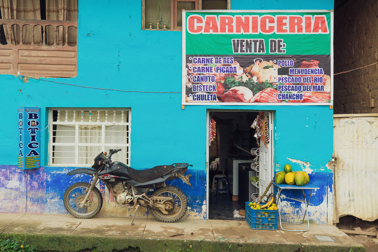
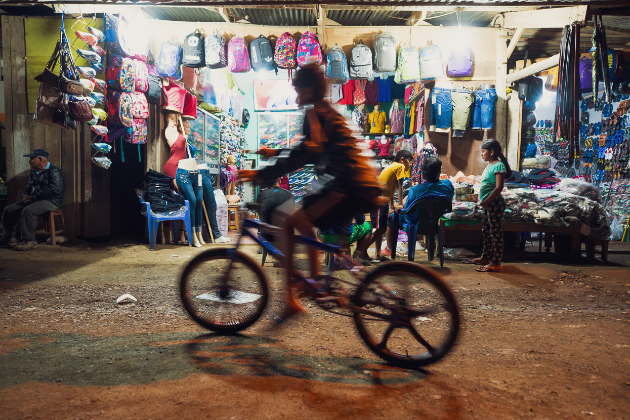
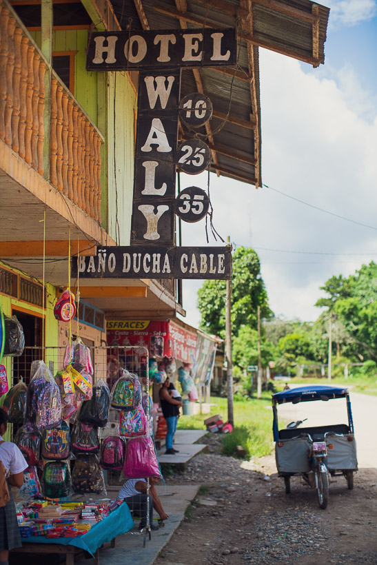
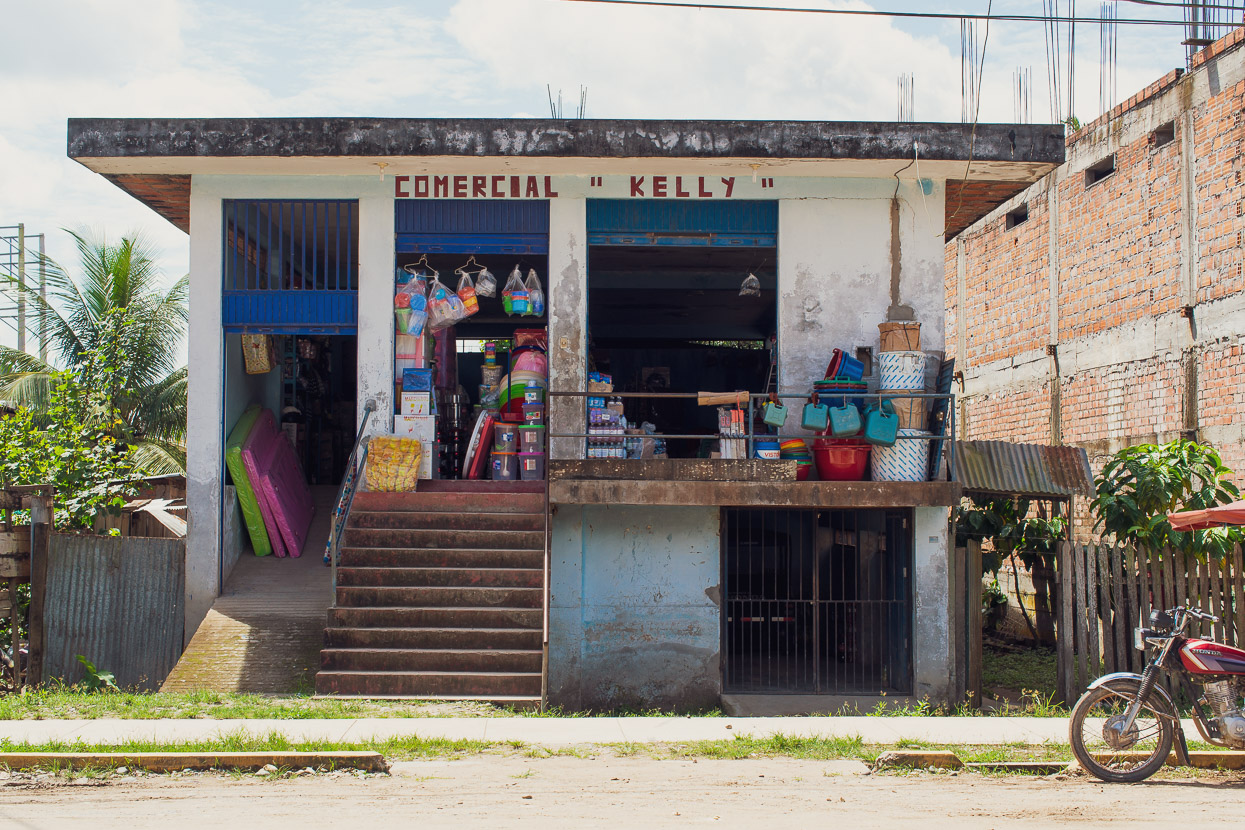
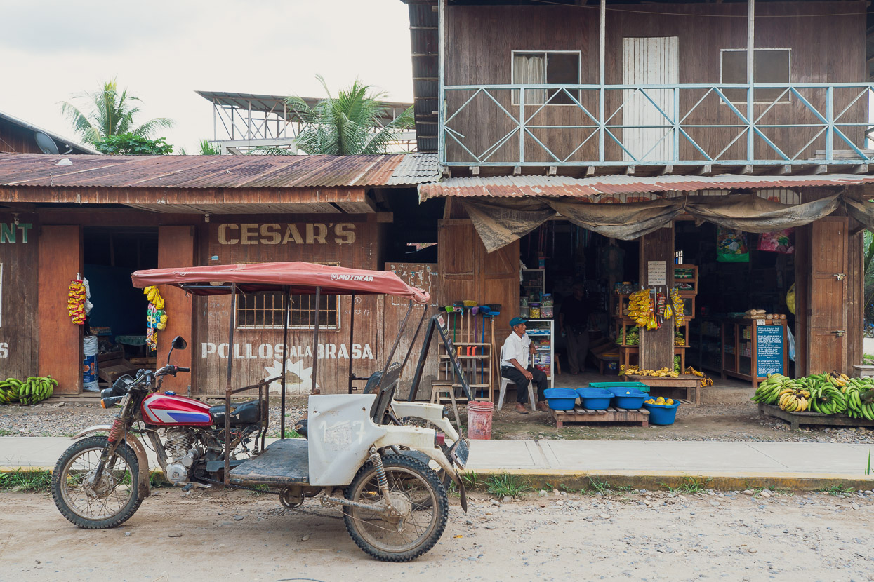
The shops were classic remote general stores – stocking everything you might need out here, from machetes to school bags.
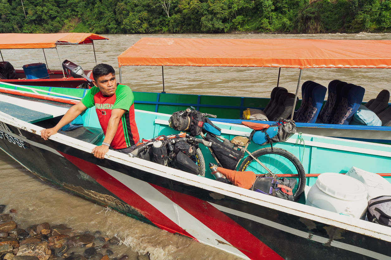
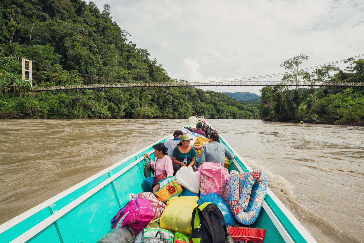
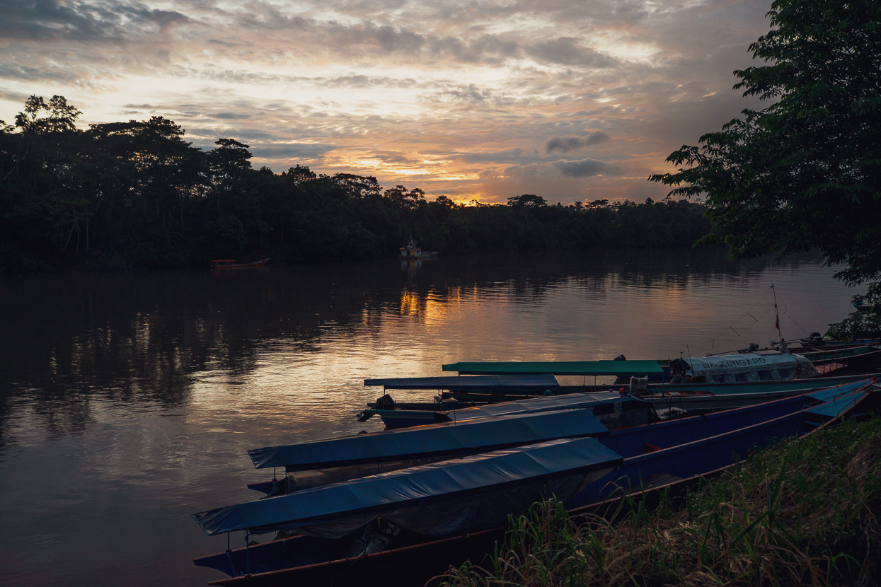
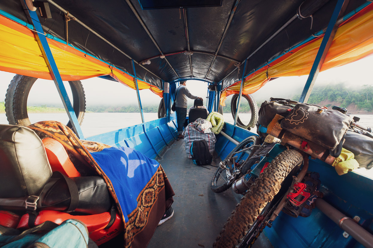
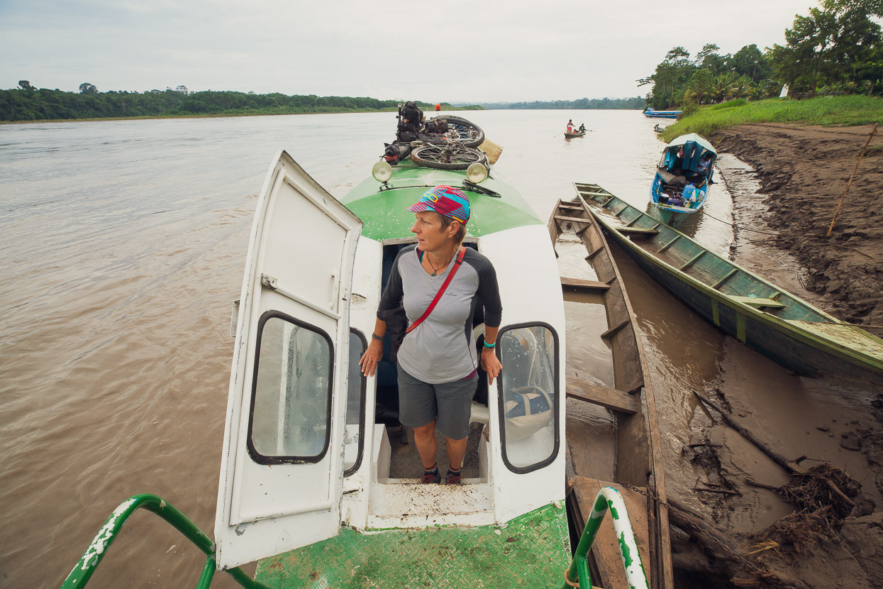
So unable to wait any longer we bought a 6am ticket for the next colectivo going down river. The bikes were loaded in with all the other goods and passengers going down to remote villages.
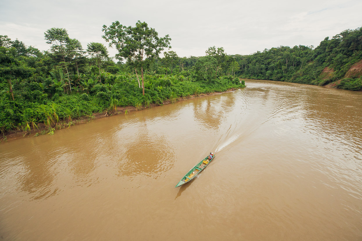
As soon as we left Ivochote our surroundings started to get wilder. The forest was taller and the hills steeper as we passed by the last of the Andean foothills. But the river was smooth enough at first.
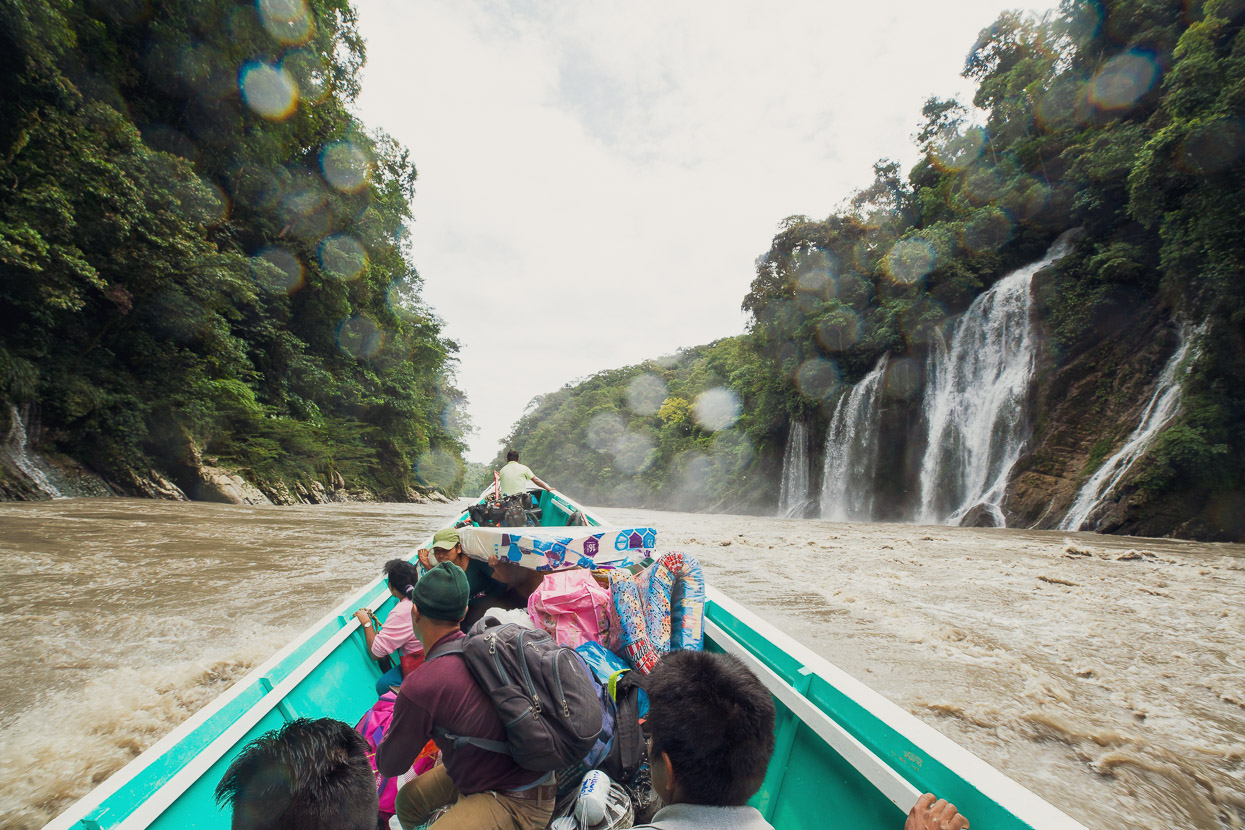
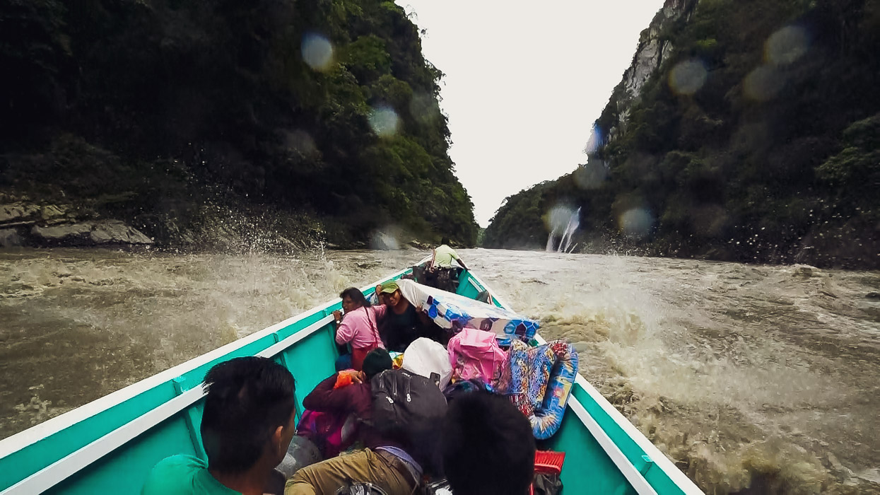
Approaching the pongo the skipper, who was positioned at the front for hazard surveillance and navigation, moved some passengers down from the bow to distribute the weight better and then we started to hit the choppy water. The main hazard is a drop of a couple of metres but with the boiling stopper waves, eddies and madly surging water it’s a pretty wild place. The bote rocked violently from side to side — eliciting shrieks from some of the passengers — and the bow thrust pretty steeply into the air at times.
As we surged through the churning waters, the driver deftly pulsing the engine and adjusting the rudder, I wondered if scores of chattering monkeys might be staring down at us from the tall trees, laughing at the spectacle below.
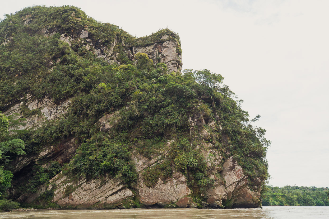
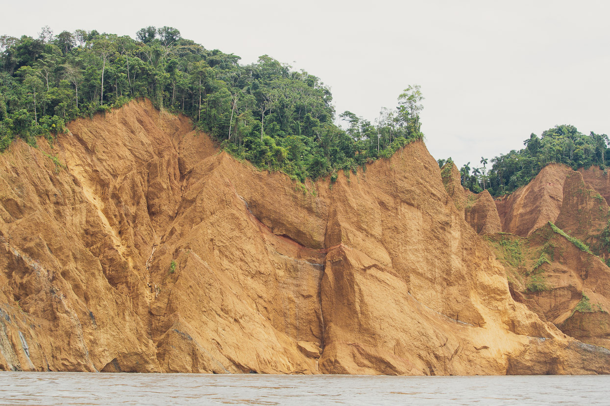
Of the pongo, travel writer Michael Palin wrote: Nothing I have read or fantasised about has prepared me for this place. It looks as though high explosive, rather than a river, has split through this last mile of the Andes. The walls are sharply fractured, with rocky overhangs, sheared off like the stumps of shattered bridges. Lianas hang down to the water, some tipped with orange-red flowers like up-turned candelabra. Water, pouring constantly down smooth black mossy flanks, has worn the rock into weird and wonderful shapes – symmetrical fluted surfaces, perfectly smoothed bowls, caves and chambers.
With the river so high — and moving so fast — we didn’t see much that excited Palin so much. For us it was all over so fast we’d barely had time to acknowledge where we were, as we clung to our seats and sheltered our cameras from the flailing spray. Before we knew it we made it through to calmer water, normal.
The sobering news, and a reality check of the risk, came later in Camisea when we were told that in the past fortnight two boats had overturned in the pongo with the loss of two passengers.
The video clip below gives a taste of part of the pongo, but it felt a lot rougher than it looks.
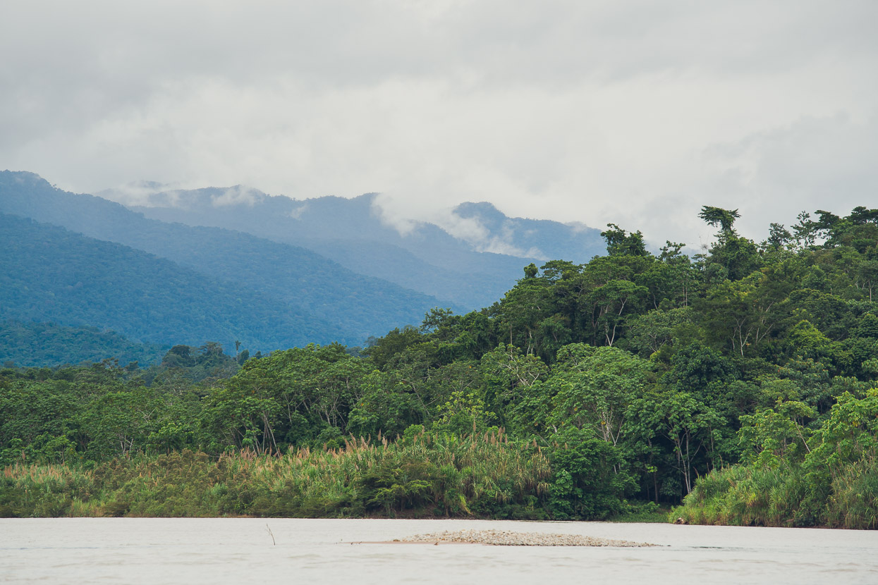
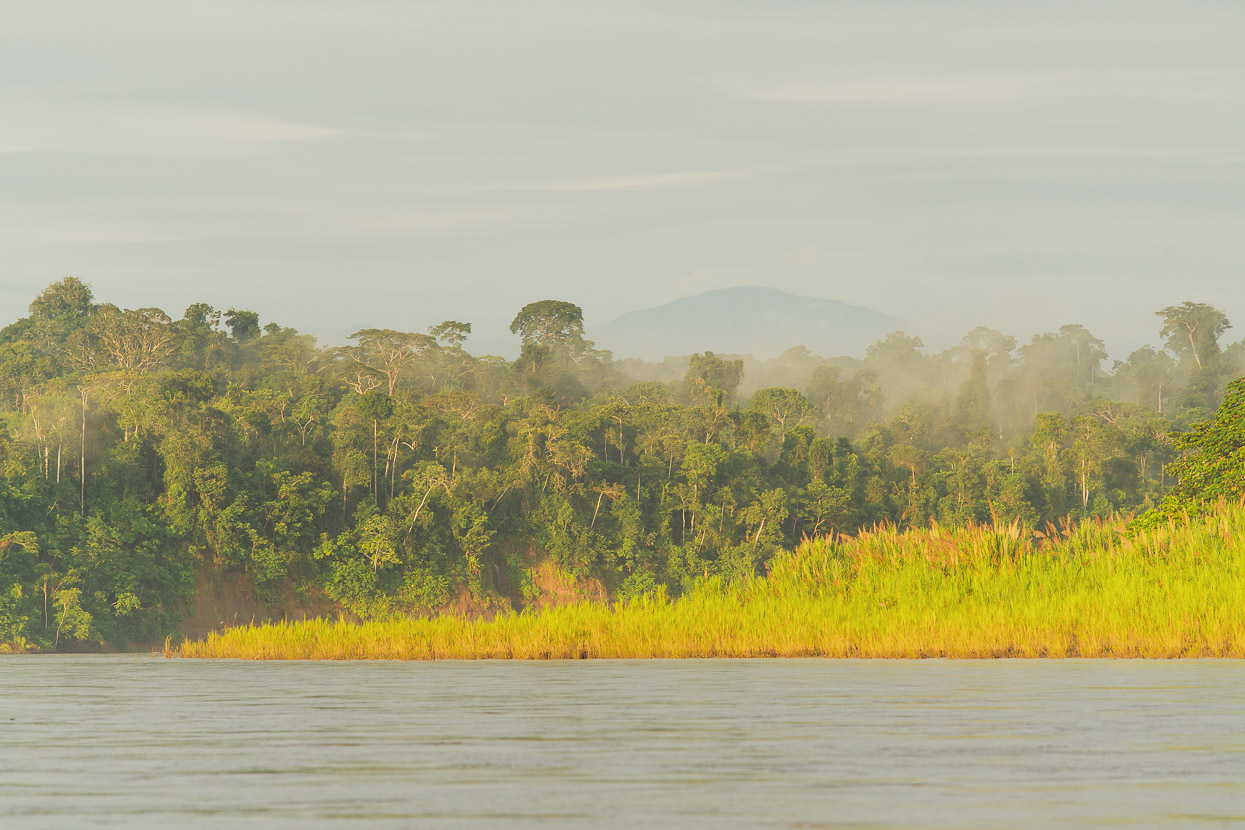
One we were through the pongo the transition was quite total. The last of the Andes soon began to shrink away behind us as the river snaked widely out into the Amazon basin with a much mellower flow. Our horizon was no longer of distant, towering ranges, but rolling jungle-covered hills and broad low basins.
We stopped occasionally at small villages and camps to drop off passengers or deliver supplies.
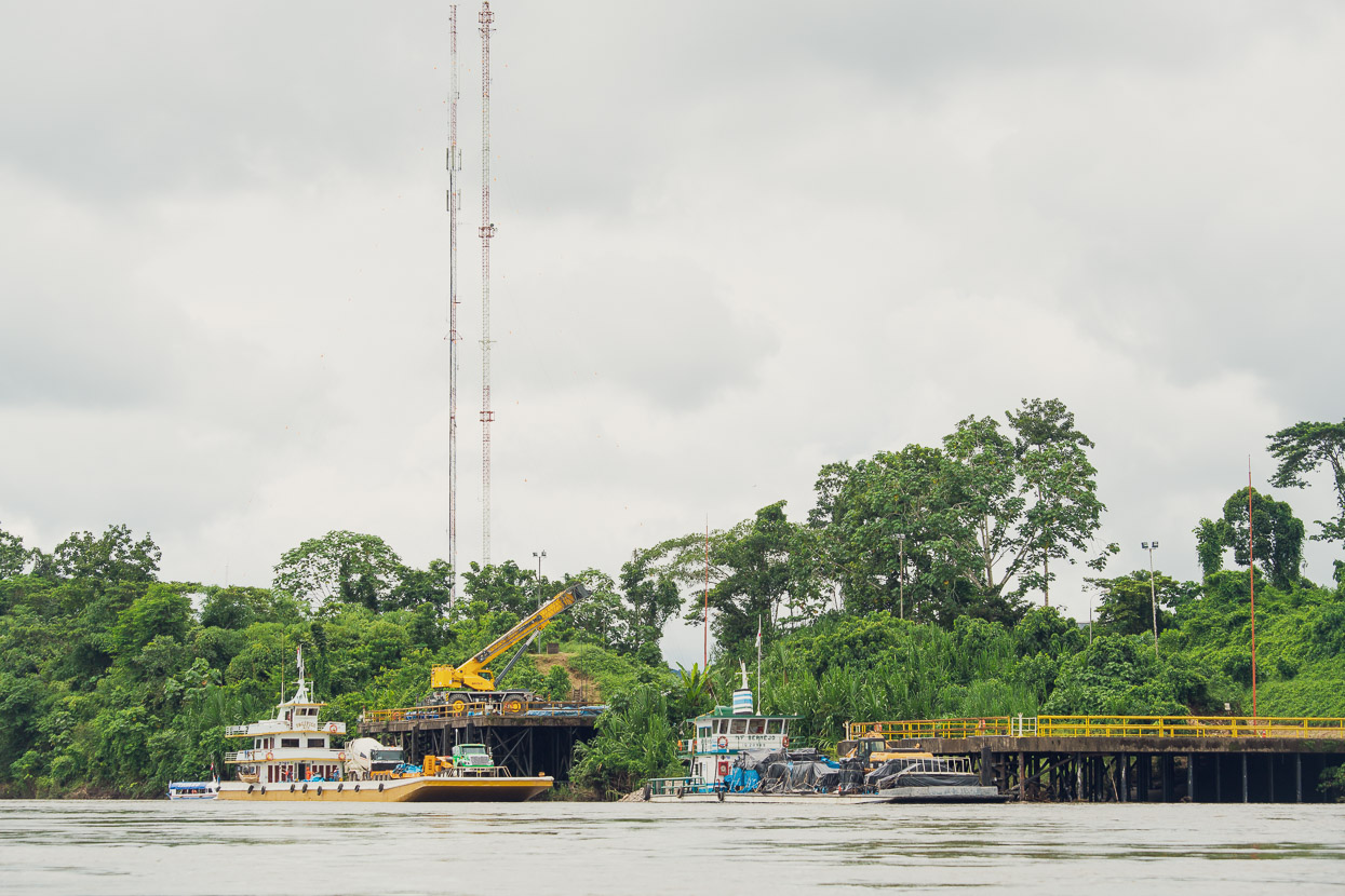
Eventually Camisea came into sight, the oil and gas operation that I mentioned earlier. All of the equipment for this remote project comes in on huge river barges.
We stopped for the night at Camisea village, a bit further down river.
It’s not a big place, just a stretched out collection of houses and a few hospedajes for river travellers.
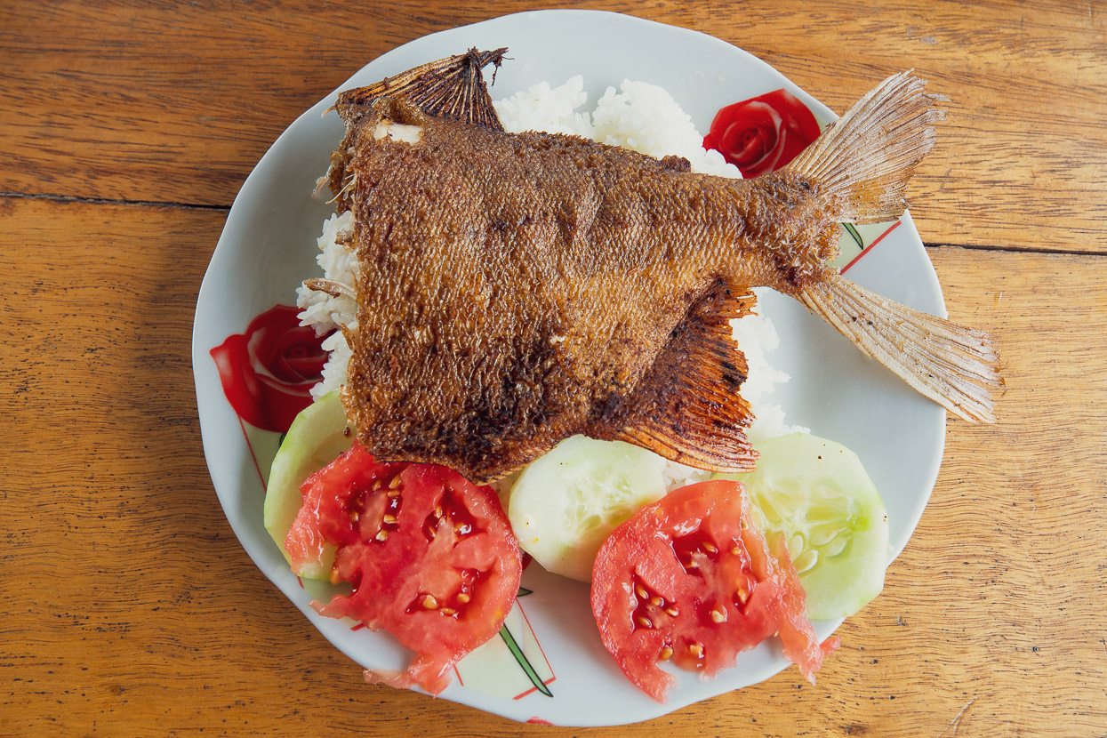
The menu was fish, or fish.
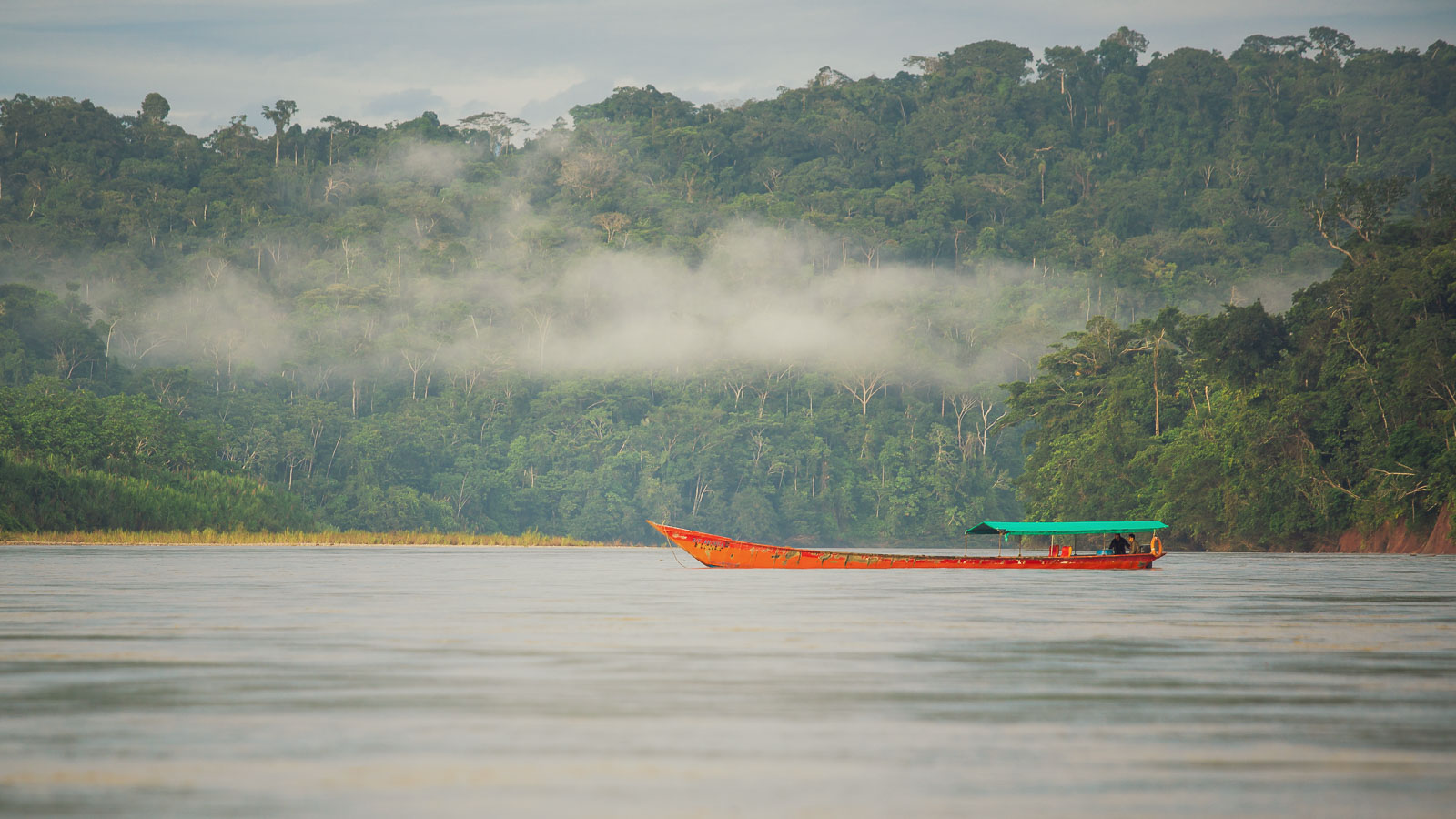
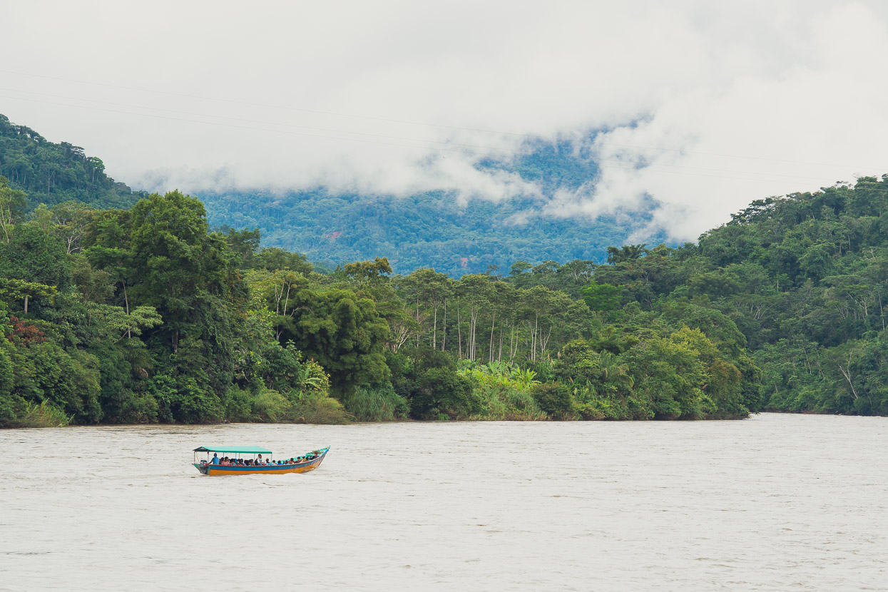
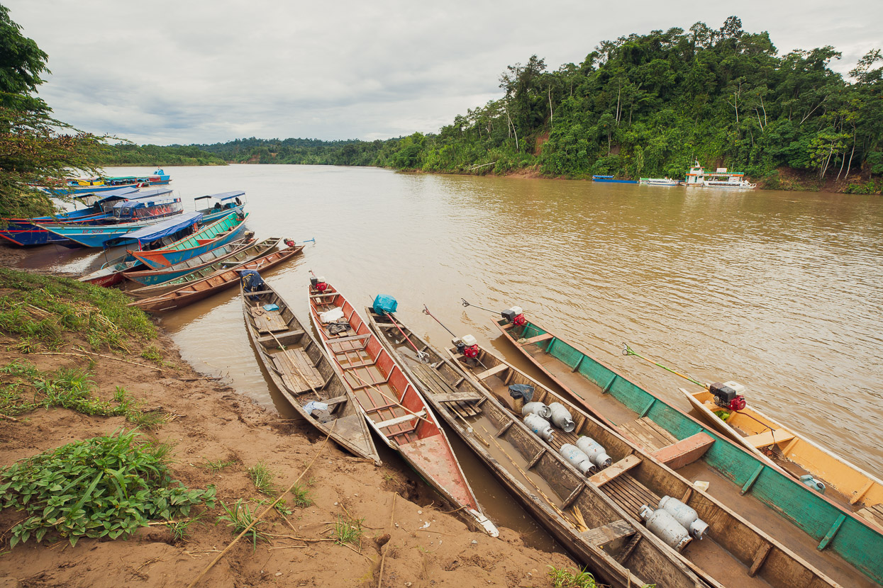
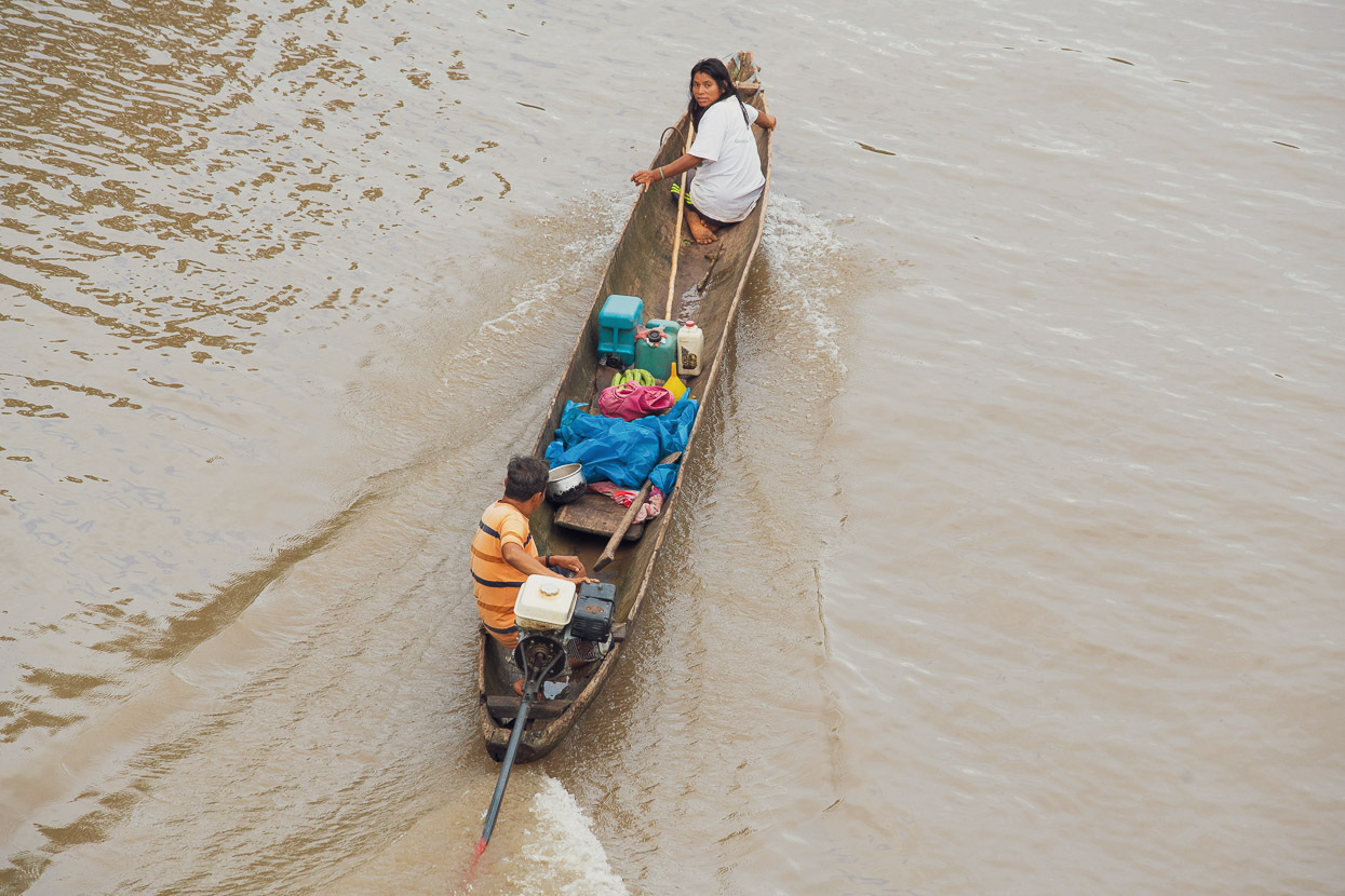
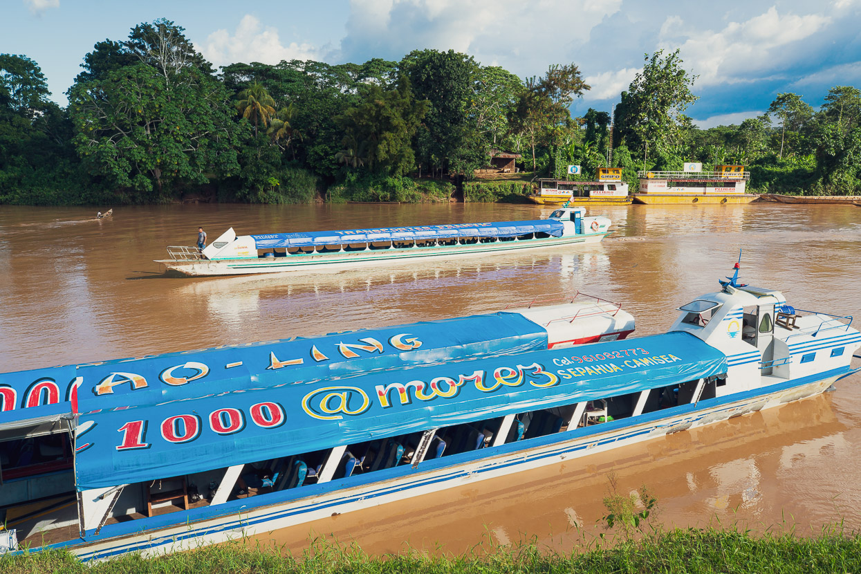
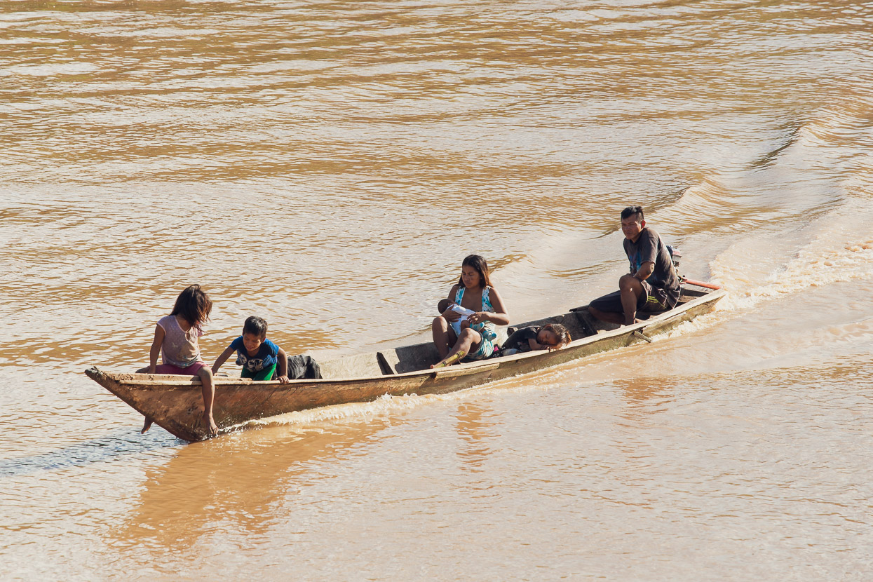
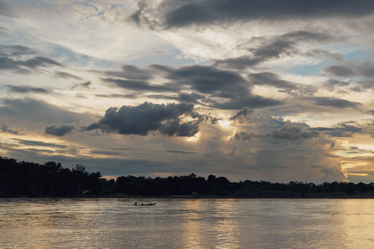
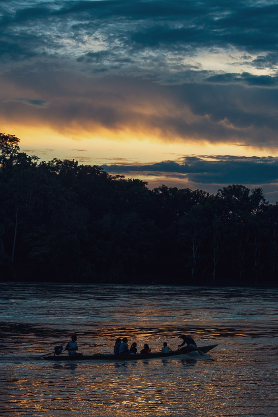
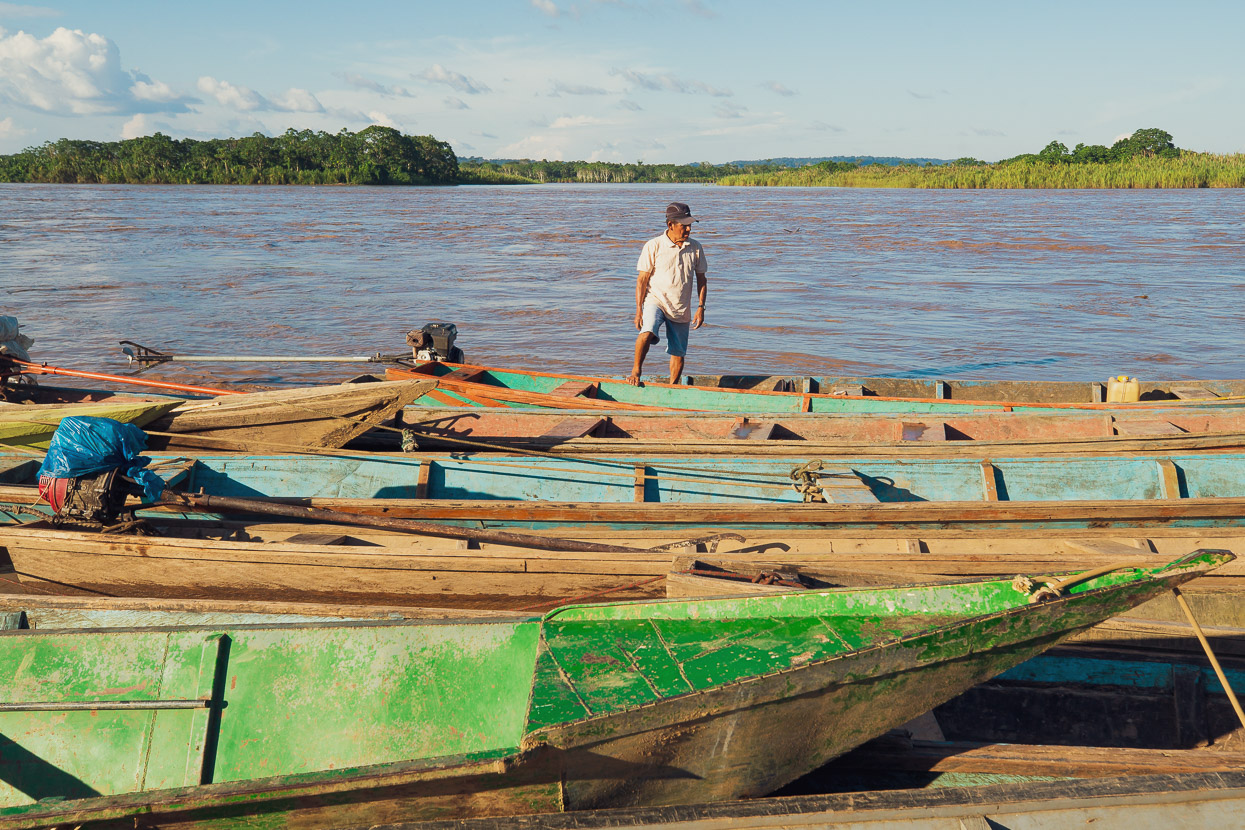
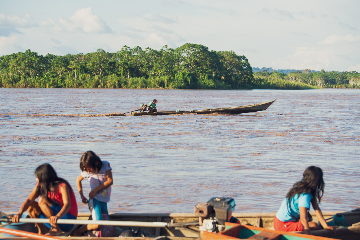
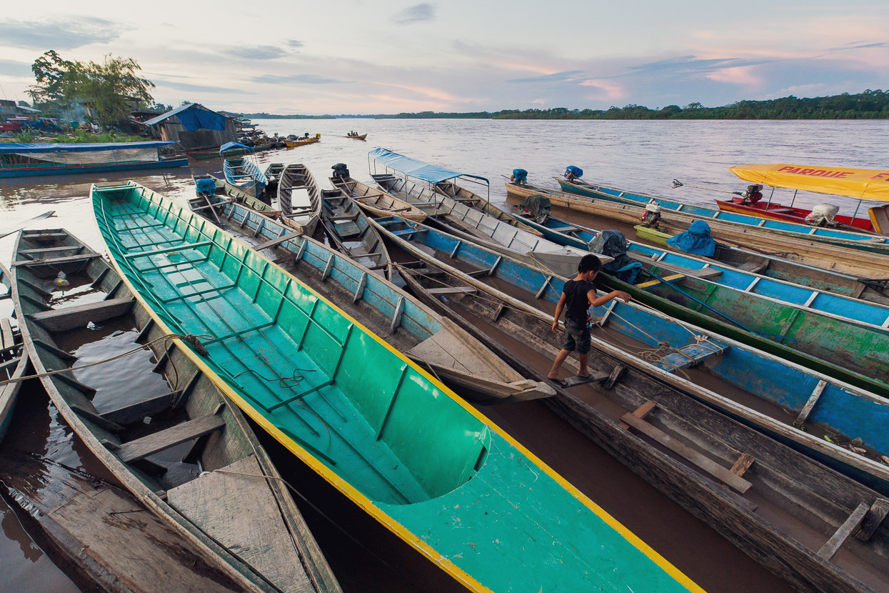
Camisea is at the confluence of the Urubama and Camisea Rivers, the latter of which also has many indigenous villages along its banks. We walked up river a short way to a foot bridge and watched a surprising amount of boat traffic pass by. Everything from covered colectivo boats to dug out canoes were travelling up and down, the river their highway.
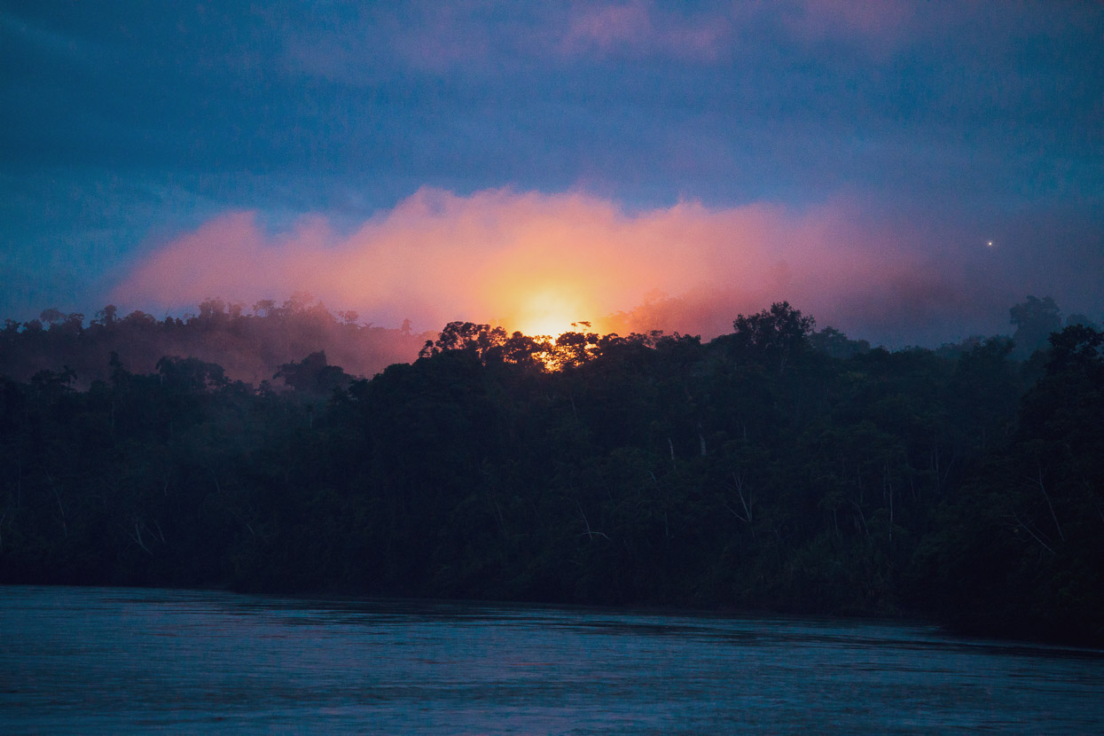
Our next leg was to Sepahua, on a colectivo departing at 5am. As we walked down to the port the burn off from the gas project was an eerie site over the jungle.
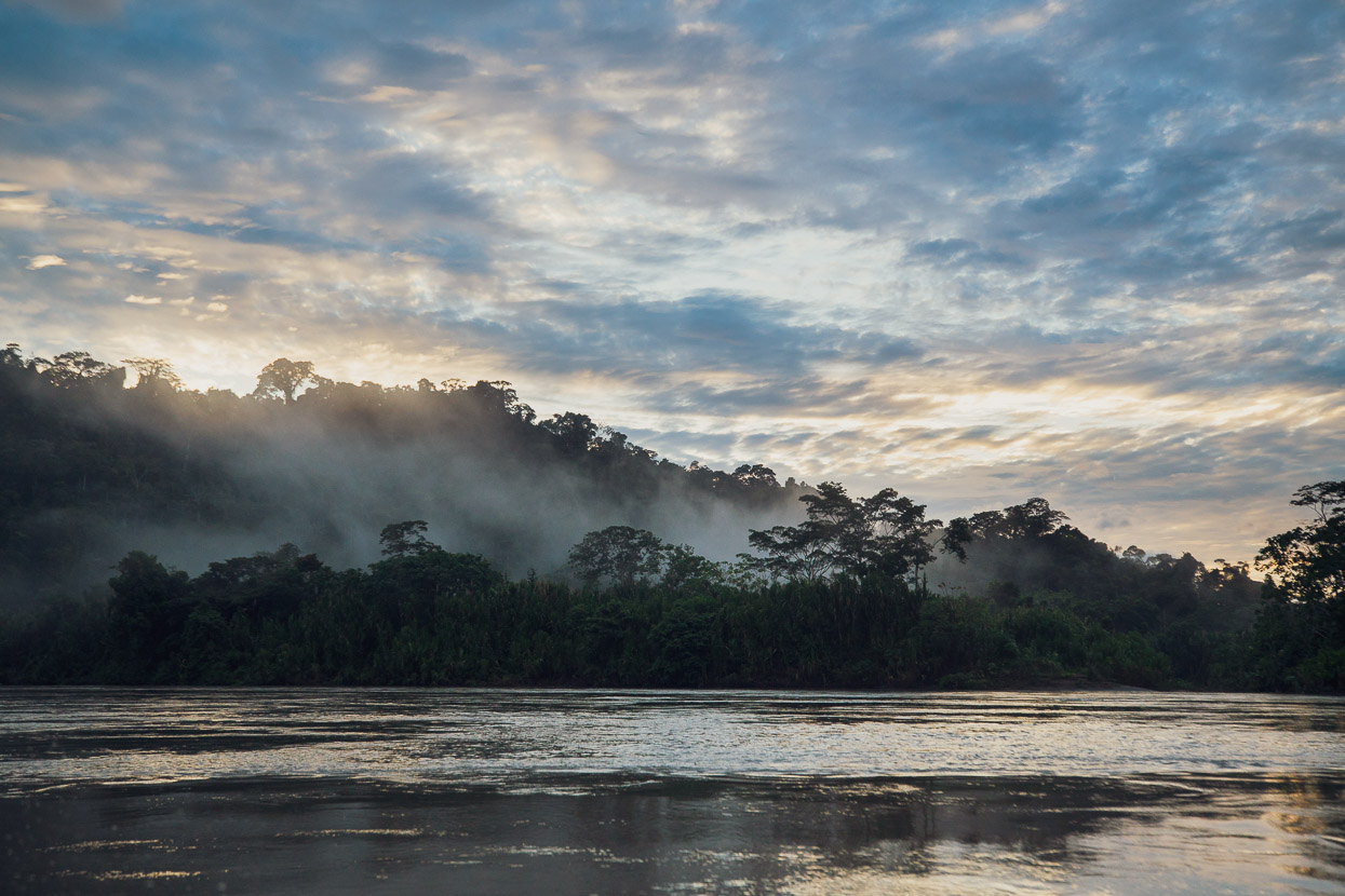
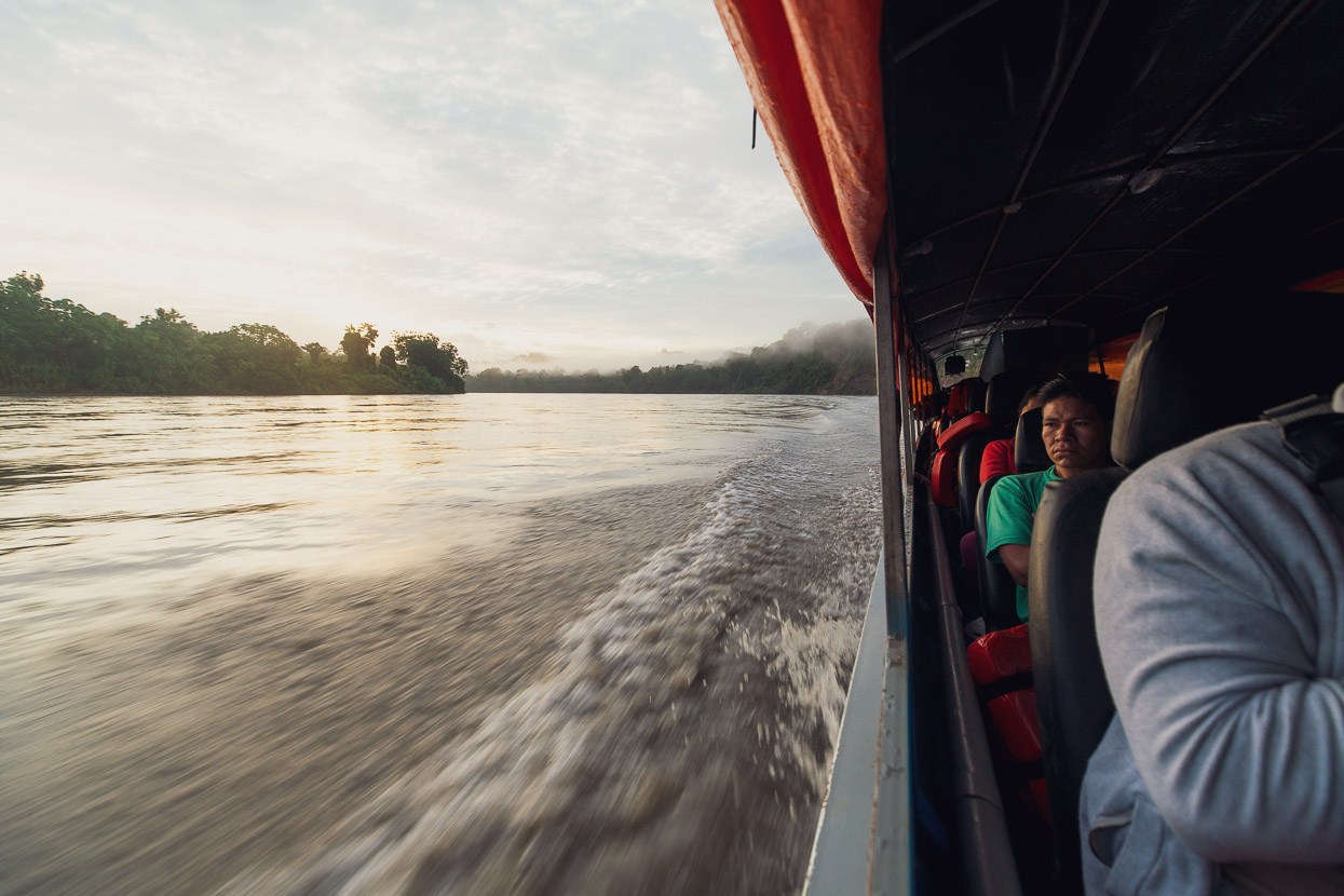
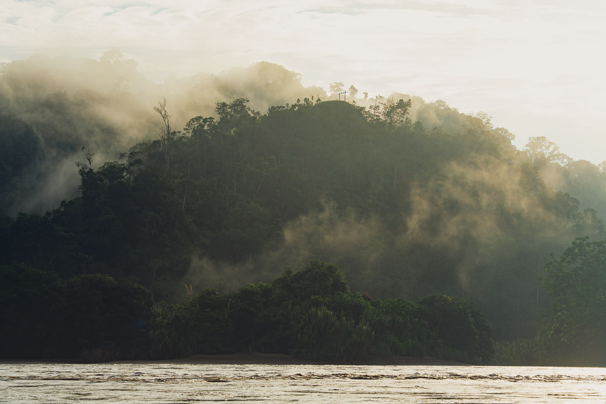
It was a stunning time of the day to be on the river, with mist lying in hollows and slowly burning off in the warmth. The place felt ancient, primal and inexplicably big.
It was just a few hours down to Sepahua, so with the early start we were there before lunch. Sepahua’s a much bigger town than Camisea. A busy little service town that serves as a supply and transport hub for smaller villages in the area.
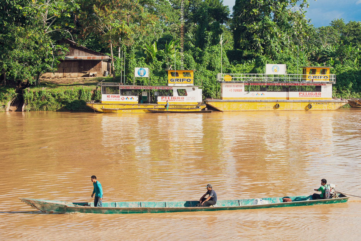
Being also a river confluence town it was busy with boat traffic coming from all directions, some to fill up with fuel from the floating grifo (gas station) just across the river from the malecon.
The river was much busier than we expected — more so than many of the Andean roads we traversed along the Peru Divide. But we became accustomed to the constant chugging of boat engines after a while and it was fascinating to see how life works out here in the middle of nowhere. But in a paradoxical kind of way we weren’t remote really, not with such an easily navigable river nearby. Even though there are no roads, humans have populated this region for thousands of years, using the rivers at their transport network, and have successfully colonised throughout this region, establishing small fincas to grow bananas and other jungle crops, while the even more insidious industries of mining and extraction find their way in here too.
Roughly 28 million people live in the Amazon basin, many of them indigenous and barely- or non-contacted tribes, but there is also a substantial (and growing) population of colonists who live in the isolated bigger centres and use the river as their road.
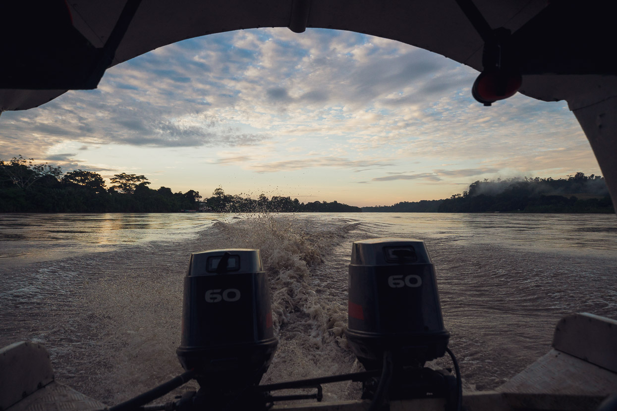
We took a final colectivo — with bikes lashed to the roof — down to Atalaya. It was another very early start and beautiful morning on the river. Unfortunately we were right at the back of boat by the double outboards so it was a noisy and fume filled ride and we were glad when it was over.
At the confluence of the Rios Tambo and Urubamba, Atalaya’s an important trade and supply hub. By the time you reach this part of the Amazon basin the rivers are very wide and a bit slower moving. They’re so big and flat they feel more like lakes. The Tambo’s extensive catchments were still being hammered with rain and the river was full of plant debris with tree branches and the odd trunk floating past. Beyond the confluence the two rivers become the Ucayali which is over 1 km wide, and even bigger once it gets further north.
The town was bustling, with all sorts of goods and people coming and going. It was here that we started to see more indigenous people, the Ashaninka, visiting the port for supplies and fuel in their shallow draft canoes and dugouts.
Unlike many of the other towns along the river, Atalaya is also served by an old logging road that goes to Puerto Ocopa and then the jungle frontier town of Satipo.
This reportedly rugged road was going to be our route out from the Amazon and back towards the Andes, which I’ll cover in the next post. We planned to leave the following morning.
donations are welcome!
Web hosting, our Ride With GPS subscription and creating content for this site – as much as we love it – adds to travel costs and is time consuming. Every little bit helps, and your contributions motivate us to work on more bicycle travel-related content.
Thanks to Revelate Designs, Kathmandu, Big Agnes, Hope Technology, Biomaxa and Pureflow for supporting Alaska to Argentina.

