Mid December 2022.
In planning for this 2022/2023 leg of our Alaska to Patagonia odyssey we were faced with two choices: riding south from the latitude of Santiago, Chile, or Mendoza, Argentina to close our gap down to Puerto Varas near the start of the Carretera Austral. Prior to the pandemic we’d bussed that section to ride southern Patagonia in the optimal season for photography (autumn) and then we were going to close the aforementioned gap riding north. We’d made it from Puerto Varas to Coyhaique when Covid-19 arrived in southern Chile and shut down our plans.
Chile south of Santiago does not make for particularly interesting bikepacking for the first few hundred kilometres, at least from our perspective. Away from the agricultural plains there are Andean valleys and parks to explore, but linking them into a through-route looked tricky. The first region of particular note is Araucanía, 600km south, where the famous Monkey Puzzle Route is located.
Being a smaller city, Mendoza was a more appealing starting point, bolstered by the fact that Argentina is considerably cheaper than Chile. You could say our South American strategy so far, between the last leg and this one, has been to be in Argentina as much as possible, but to cross the Andes to pick Chilean plums, such as Araucanía, before escaping back over the border to cheap meals, board and ice cream.
Some cyclists would argue that the Argentinian side of the Andes south of MDZ doesn’t offer much either, but it depends what you’re into. Argentina’s iconic Ruta 40 cuts a swath of blacktop through an extremely arid and sparsely populated landscape where everything seems to have been swept away by the warm Chinook winds that incessantly blow across this region. Personally we love the light, landscape, challenges and experience of desert riding, but if you stuck to the Ruta 40 you’d soon get bored. At home in New Zealand we began looking for alternatives to the main road and in RWGPS found two potential linkages through the Argentinian Andes between the Ruta 40 and the continental divide (the border). One of them turned out to be the Ruta de los Reales (see our write up here), and the second major one, the Norte Neuqiño (published by Mendoza-based bikepacker Gonzalo Zamorano). The plan was to use these to connect, by dirt and adventurous riding as much as possible, to our first crossing into Chile at Paso Copahue, roughly 1000km south of Mendoza.
This post covers the Norte Neuqiño. The original route forms a 500km loop starting/finishing in Chos Malal, but we would pick up the route from Barrancas (to which it comes very close) and exit it after the best bits to join our planned route to the border.
The main theme of the Norte Neuquiño is that it forms a circuit around the massif of Volcan Domuyo, which at 4702m is the highest mountain in Patagonia. I should add that we didn’t realise Patagonia extended so far north – we’re only halfway down the country – but apparently on entering Neuquen province we’re officially here!
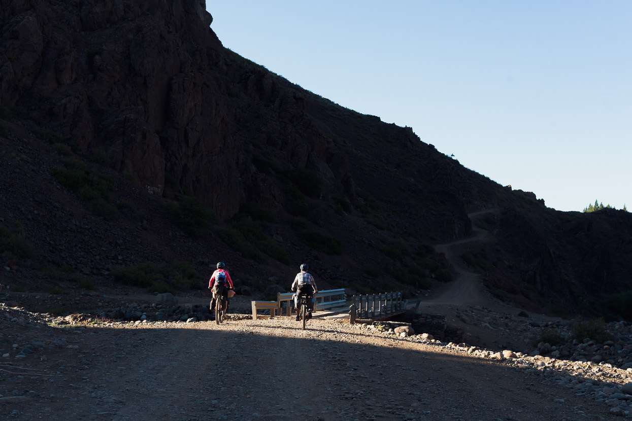
The ride out of Barrancas, where we had enjoyed a much needed rest day, was as hot as expected and even at 6.30 am we were in singlets and chugging water as we bumped over dusty ripio.
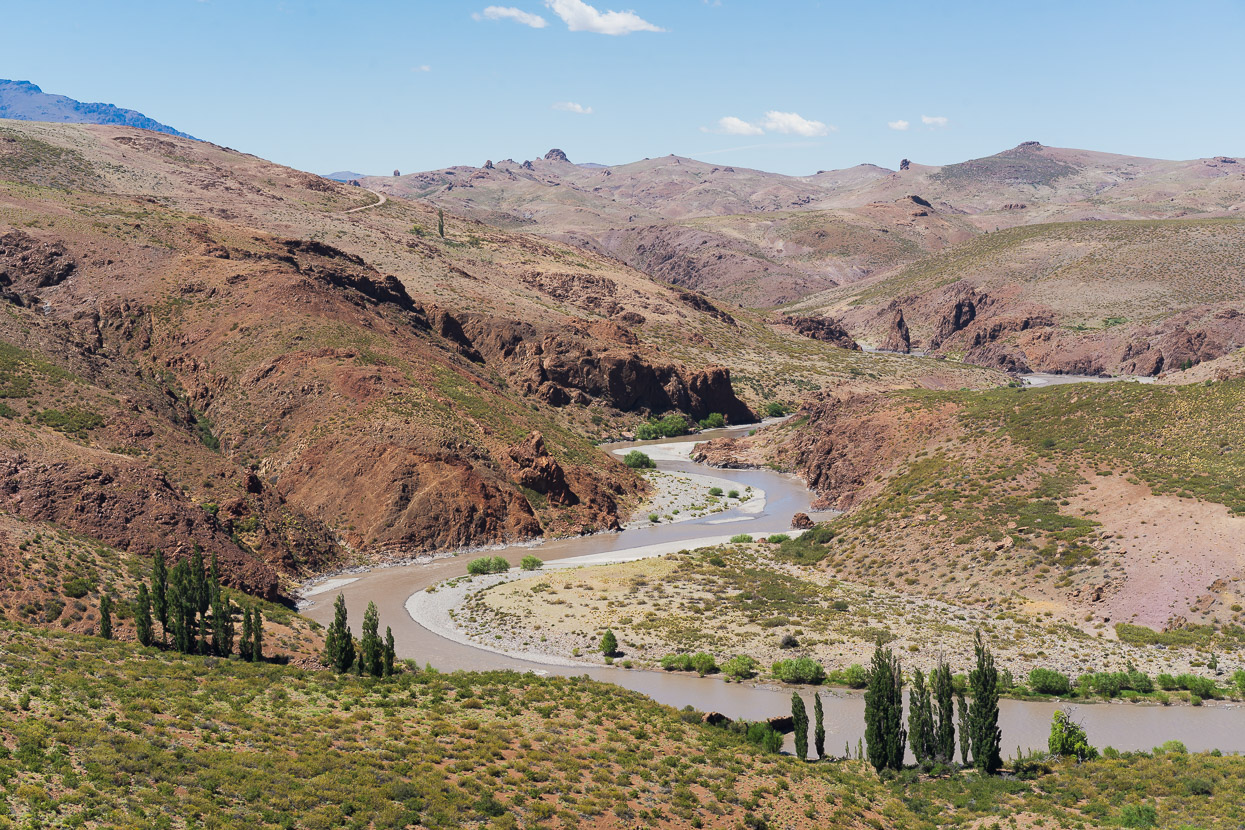
After an easy first few kilometres the route is then interrupted by a couple of deep canyons that we dropped into and climbed out of. Spectacular country, but hard work in the heat.
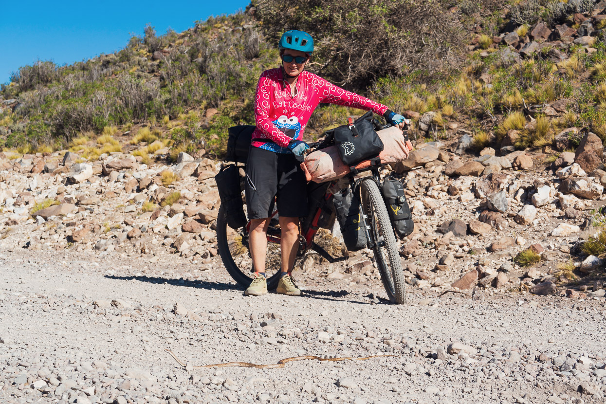
It was a two snake day, and this first one gave me a huge fright as I nearly rode right over it.
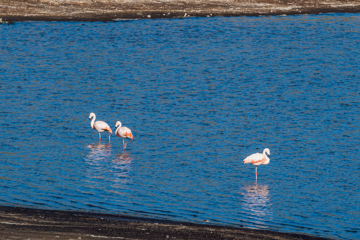
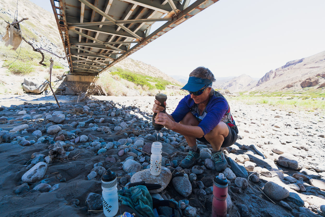
We saw flamingos in a small lake too. As with further north, the rivers were chocolate, which made collecting water tricky and we spent some time at this river prefiltering silty water from pools before zapping it with a Steripen or putting it through a squeeze filter.
After lunch we dropped into the canyon of the Rio Barrancas which we would follow for the rest of the day and most of the next before climbing out of its headwaters to the Cajon de los Nevados pass at around 2800m.
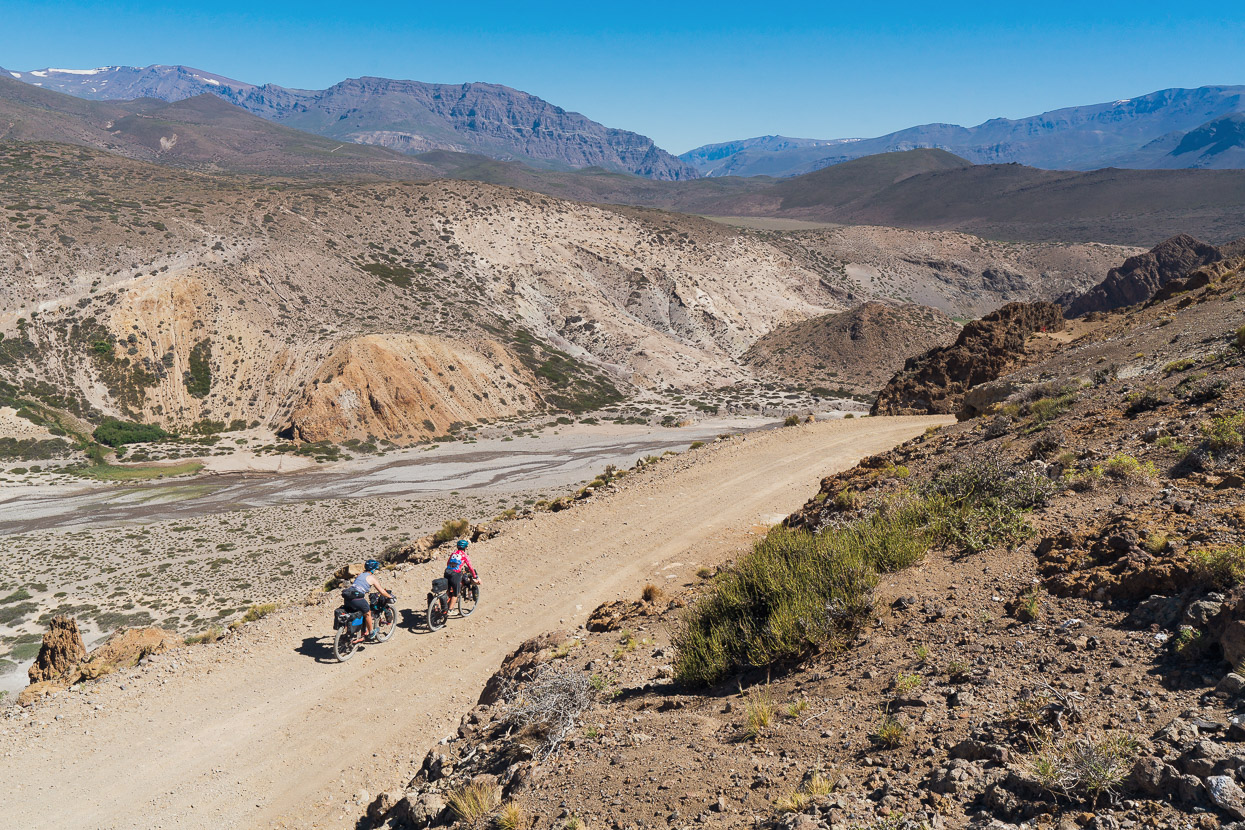
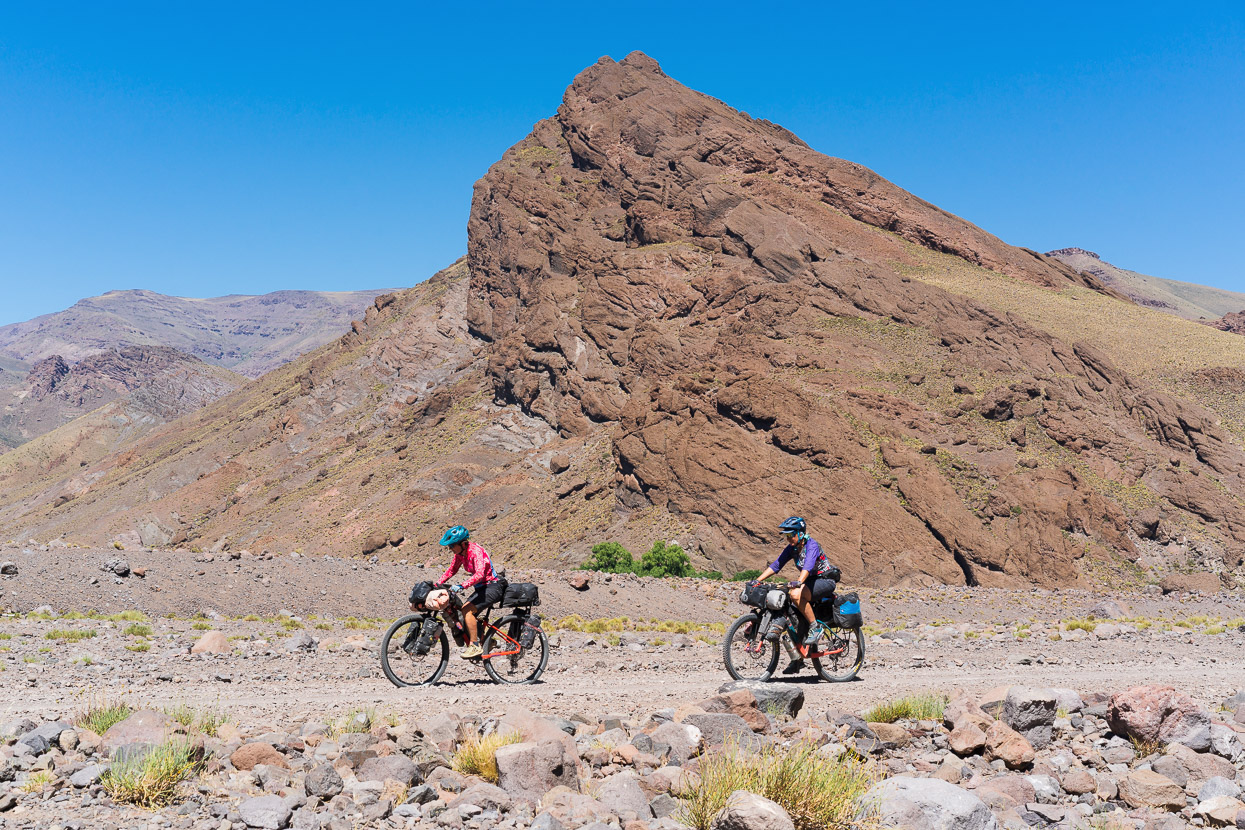
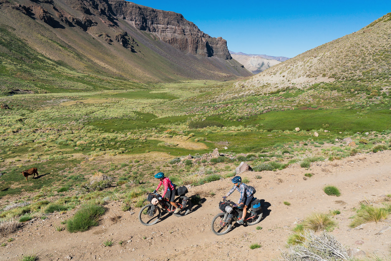
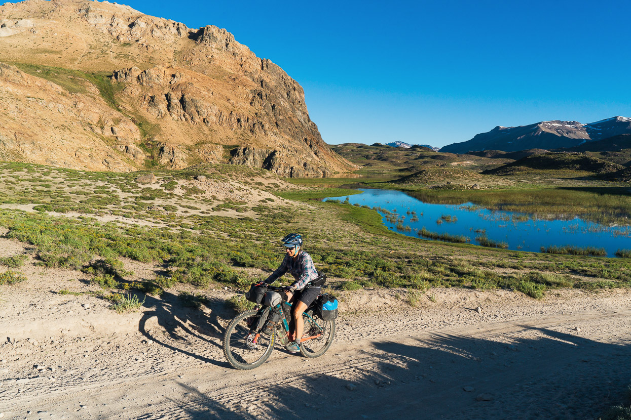
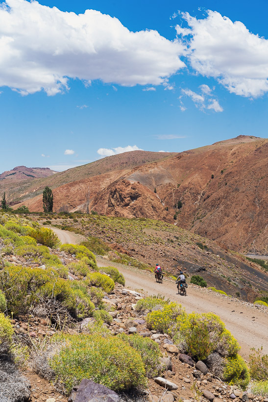
While Rachel and Hana appear to be cruising along in the sunshine here, the ride that afternoon was hard work: temps in the mid-30s, a strong headwind, rough road and gradual incline limited our speed to 6–7km/hour. The prevailing wind here is W-E, and it intensifies in canyons in the afternoons, so they’re about the worst places to be.
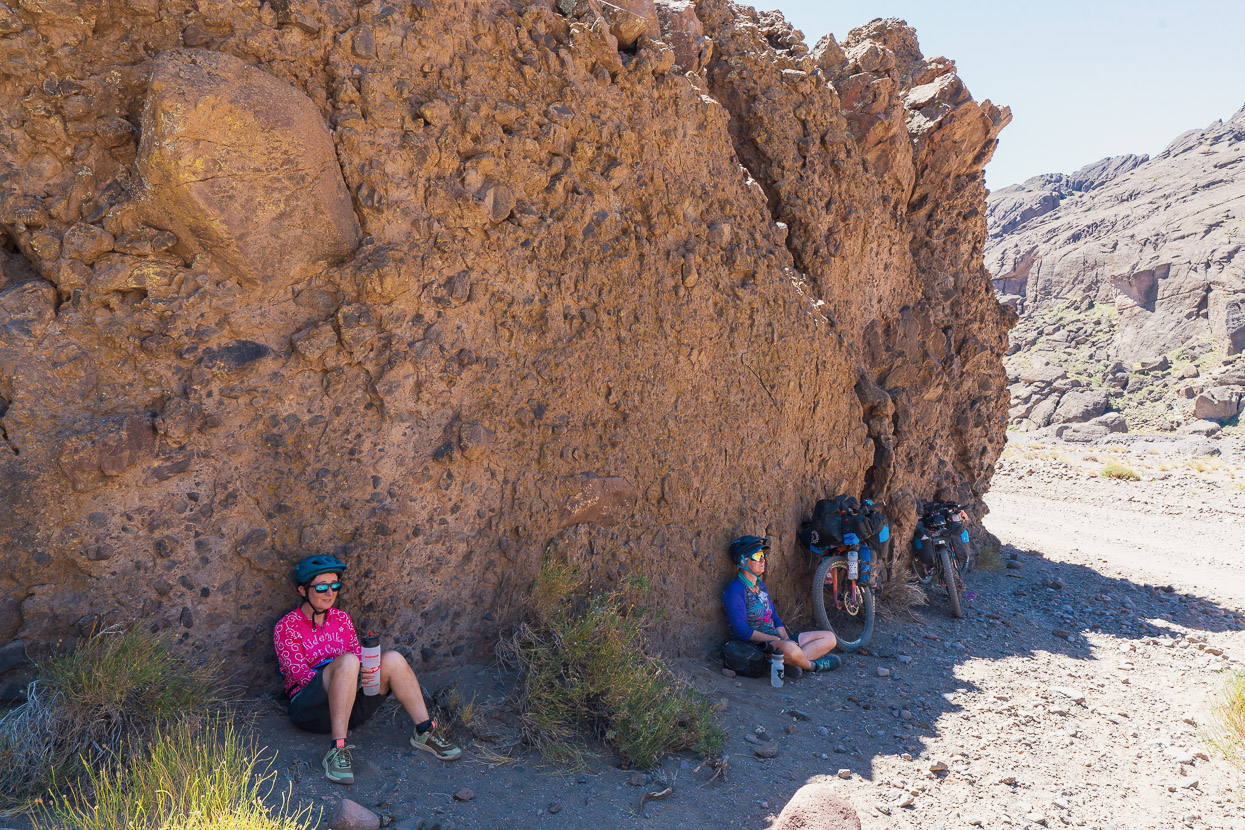
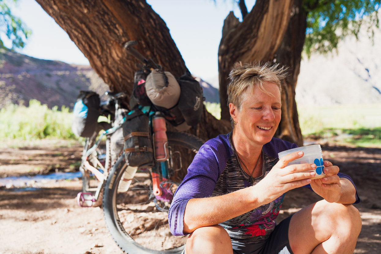
For a while we were soaking our shirts and cooling off in every stream we crossed. And this patch of windless shade was most welcome.
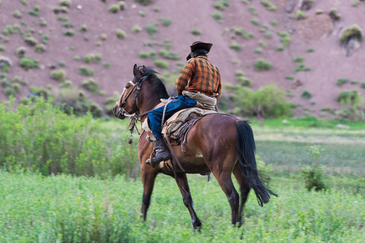
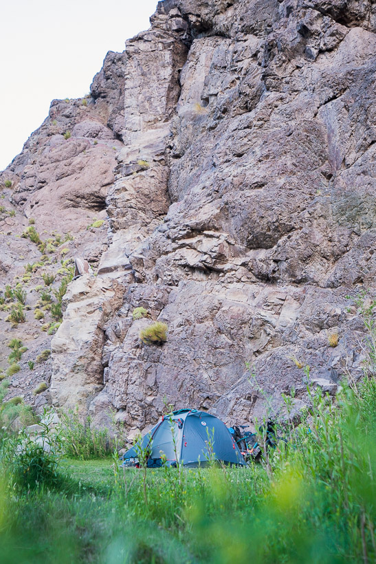
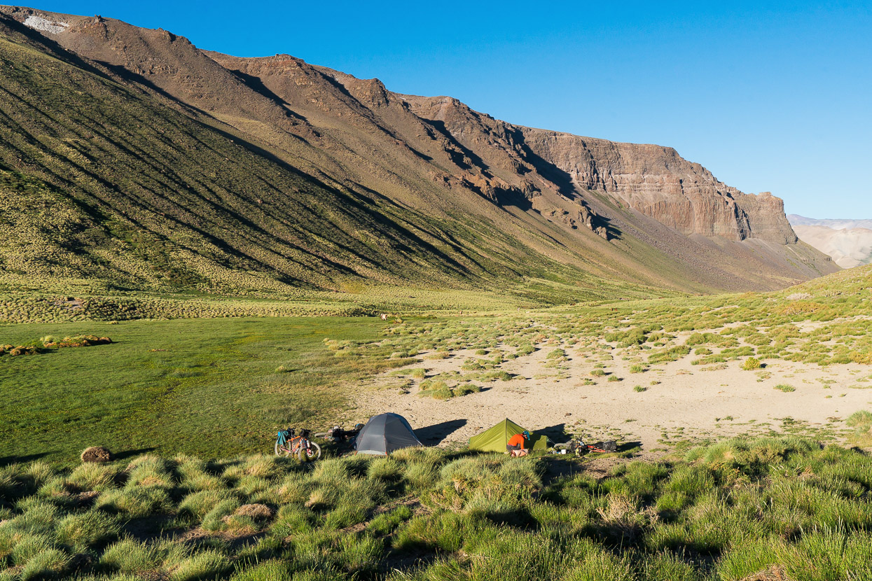
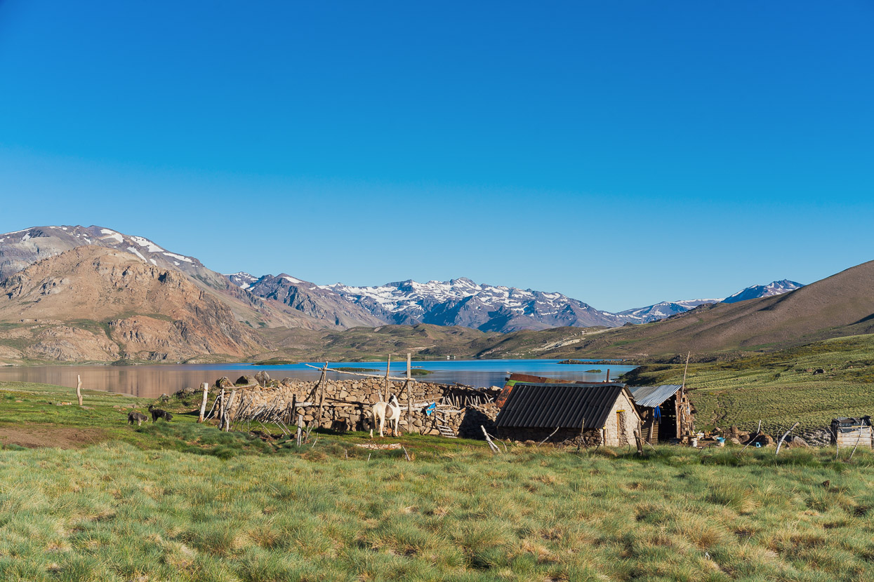
Further up, shortly past Laguna Cari Lauquen, the canyon opened out into some fertile grazing land where there was a small puesto. We stopped in and asked if it was ok to camp in the valley, and set up in the shade of willow tree alongside a large cliff. It was a nice spot for the night, and there was a surprising amount of traffic, in the form of people on horseback, passing to and fro various puestos and camps for their work farming goats and cattle.
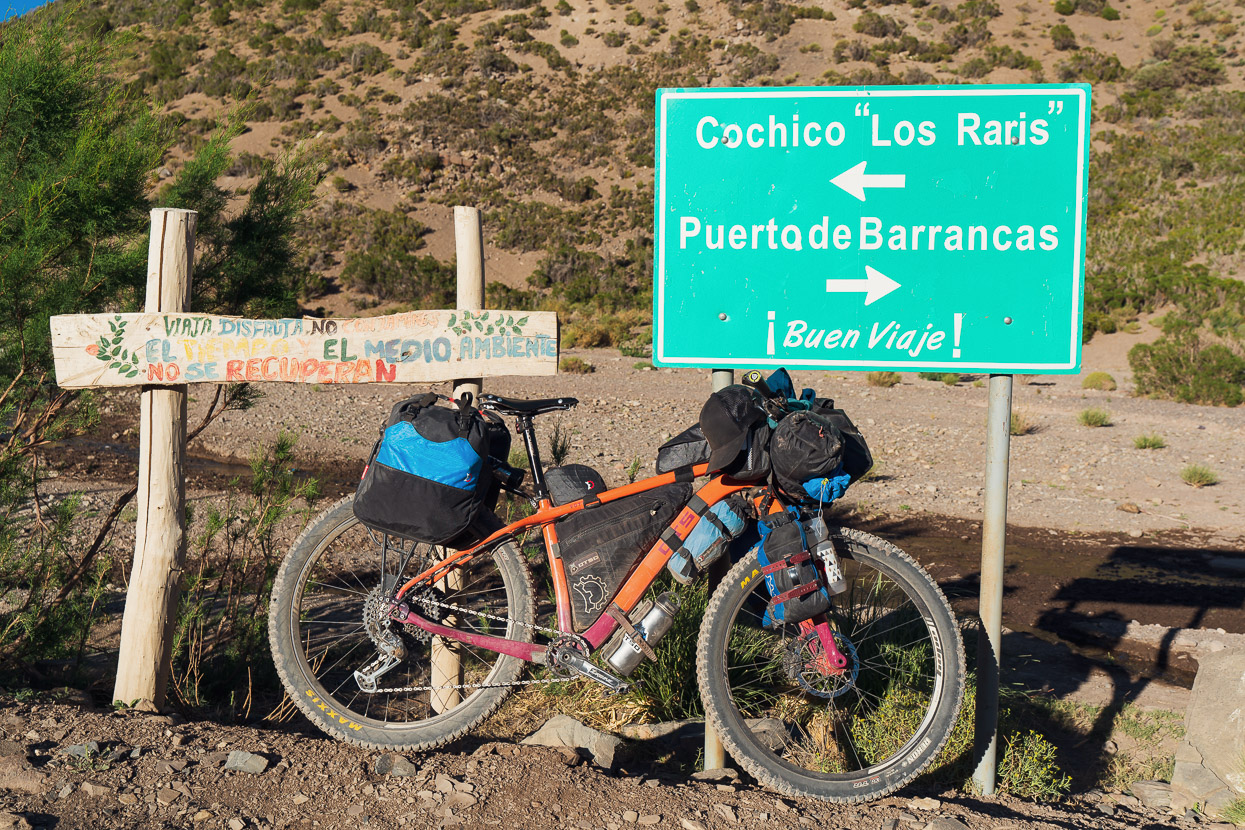
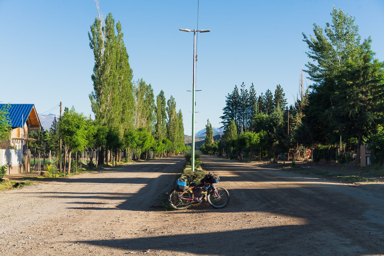
We continued early the next morning on the narrow dirt road towards the junction with Cochico, the only village in the upper canyon.
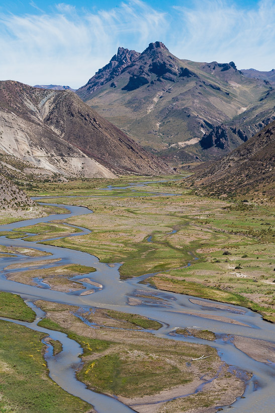
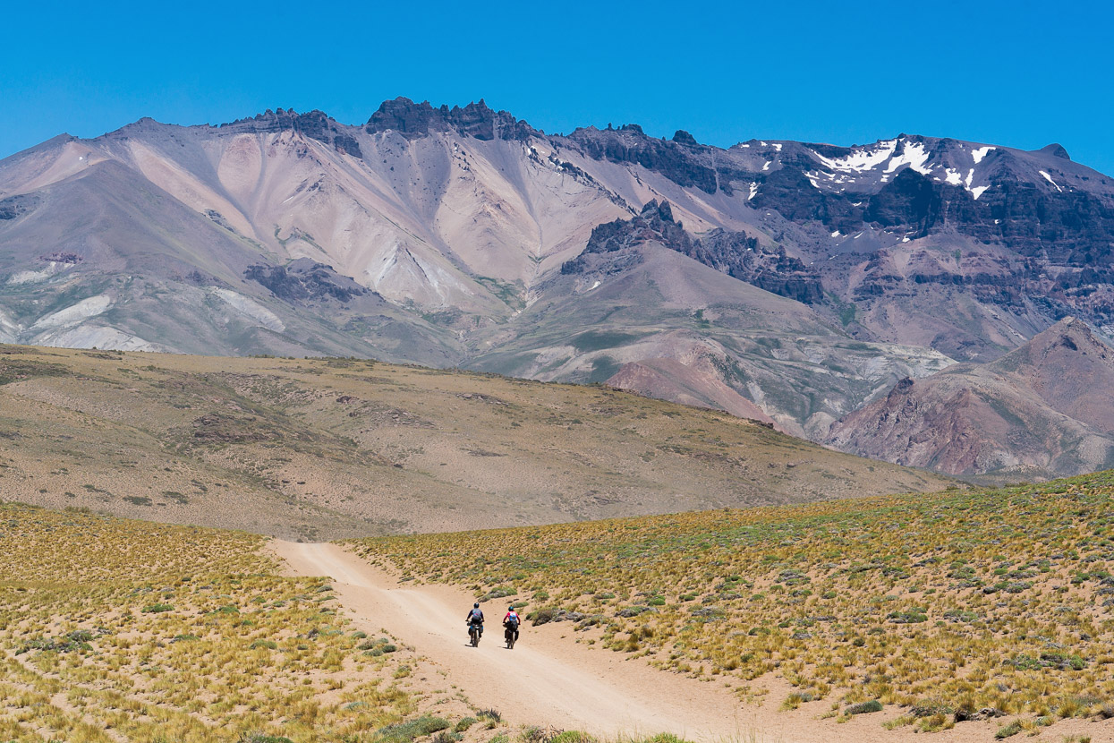
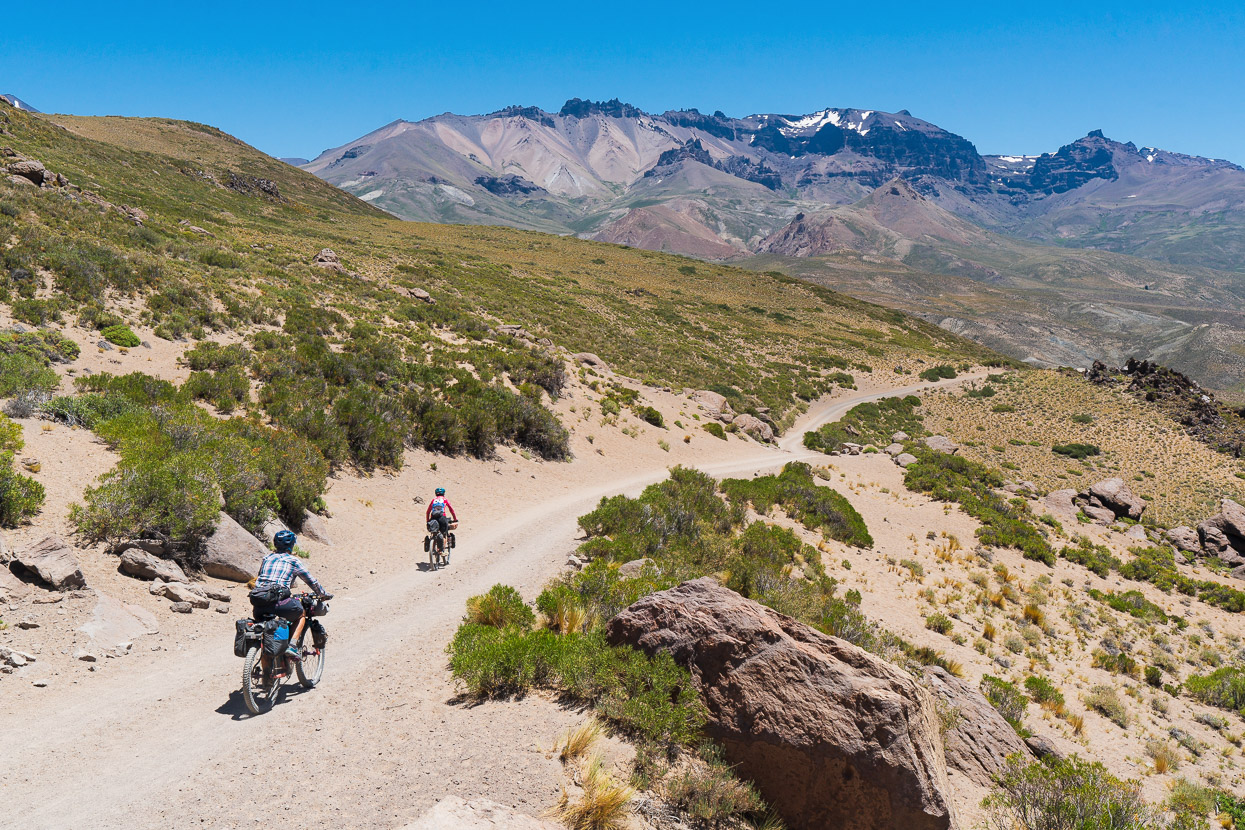
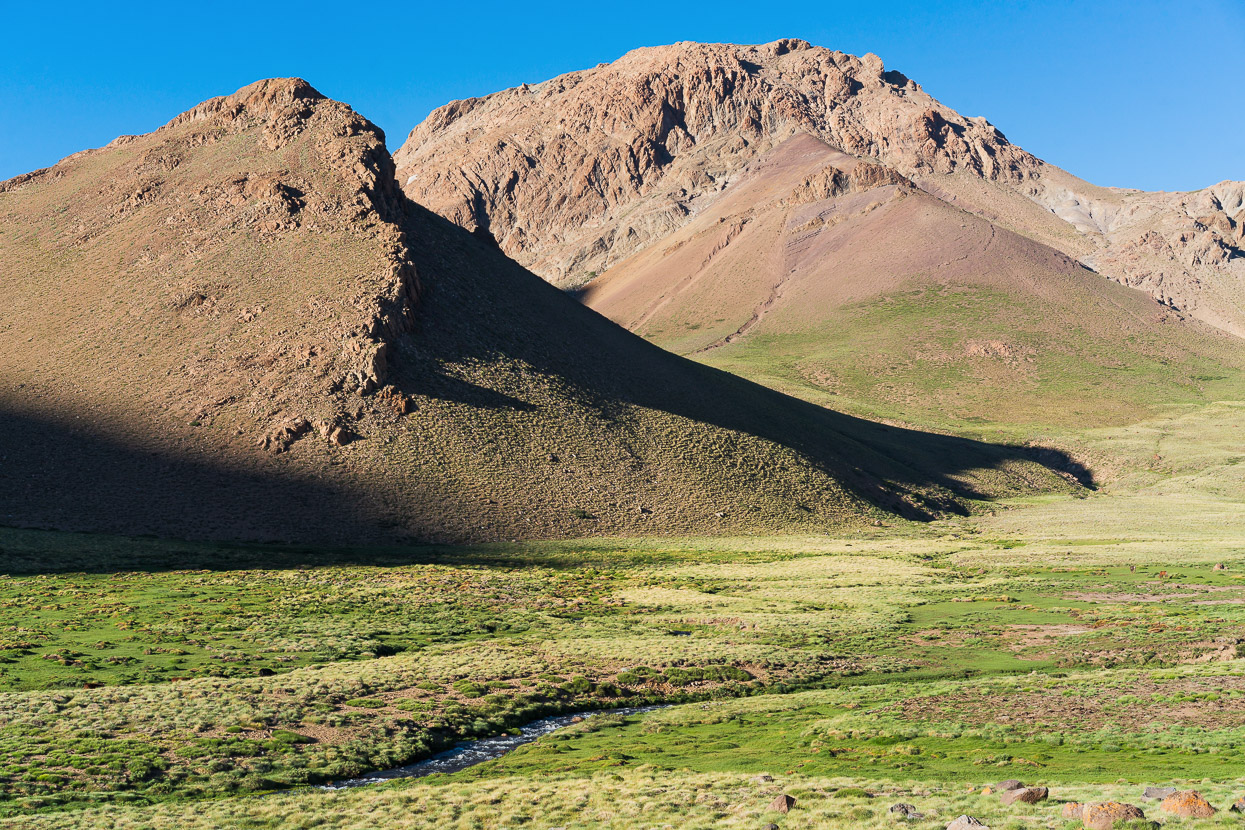
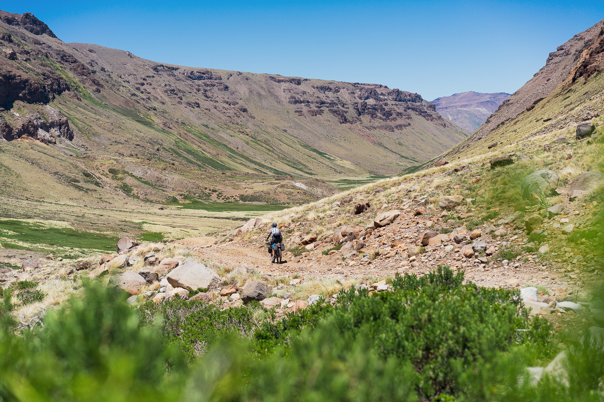
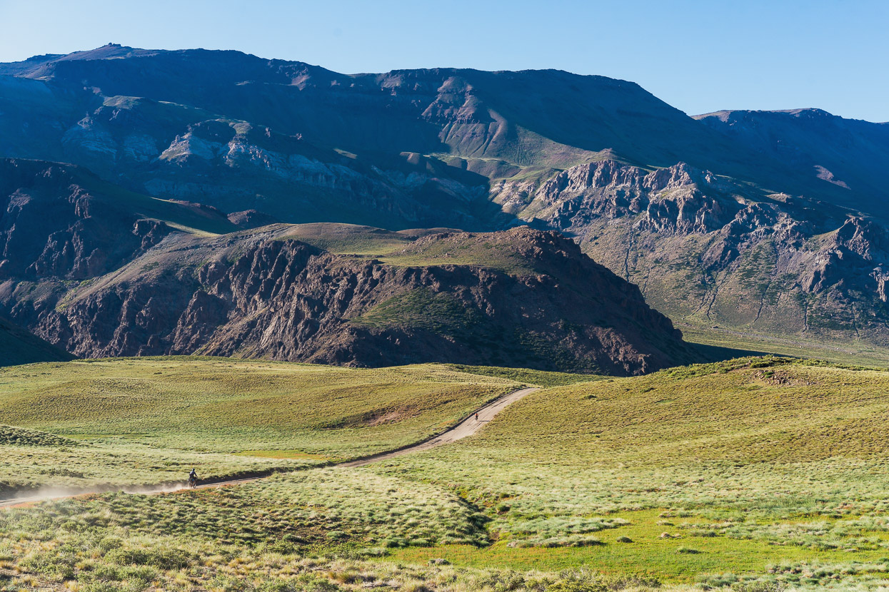
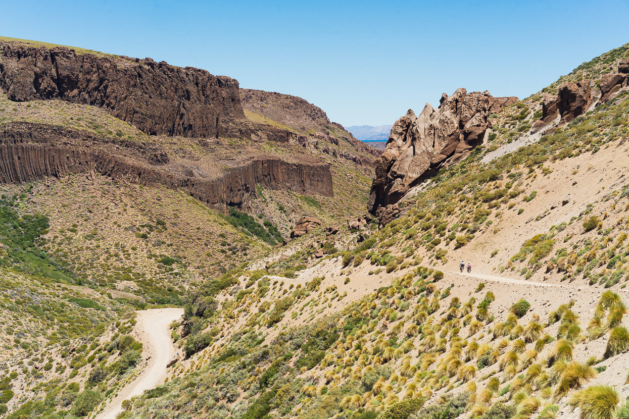
The further we go, the more amazing the landscapes.
We hadn’t bought stove fuel (petrol/gasoline) in Barrancas because the fuel supply was back down in the canyon out of town, so we detoured a couple of kilometres to Cochico to buy some. But there was some confusion because what we’ve come to know as gasolina, means diesel in this part of the country, so we nearly had our bottle filled by siphon from a truck’s fuel tank. Eventually we worked out that they call regular petrol naptha here.
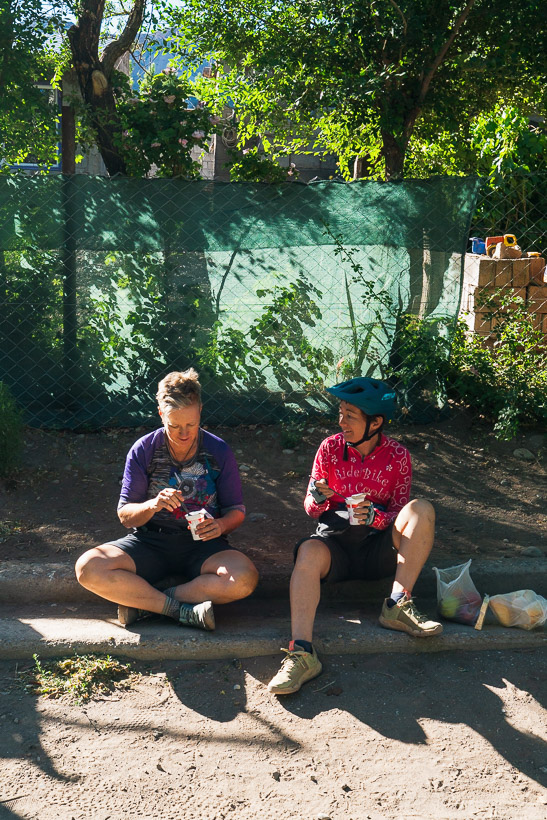
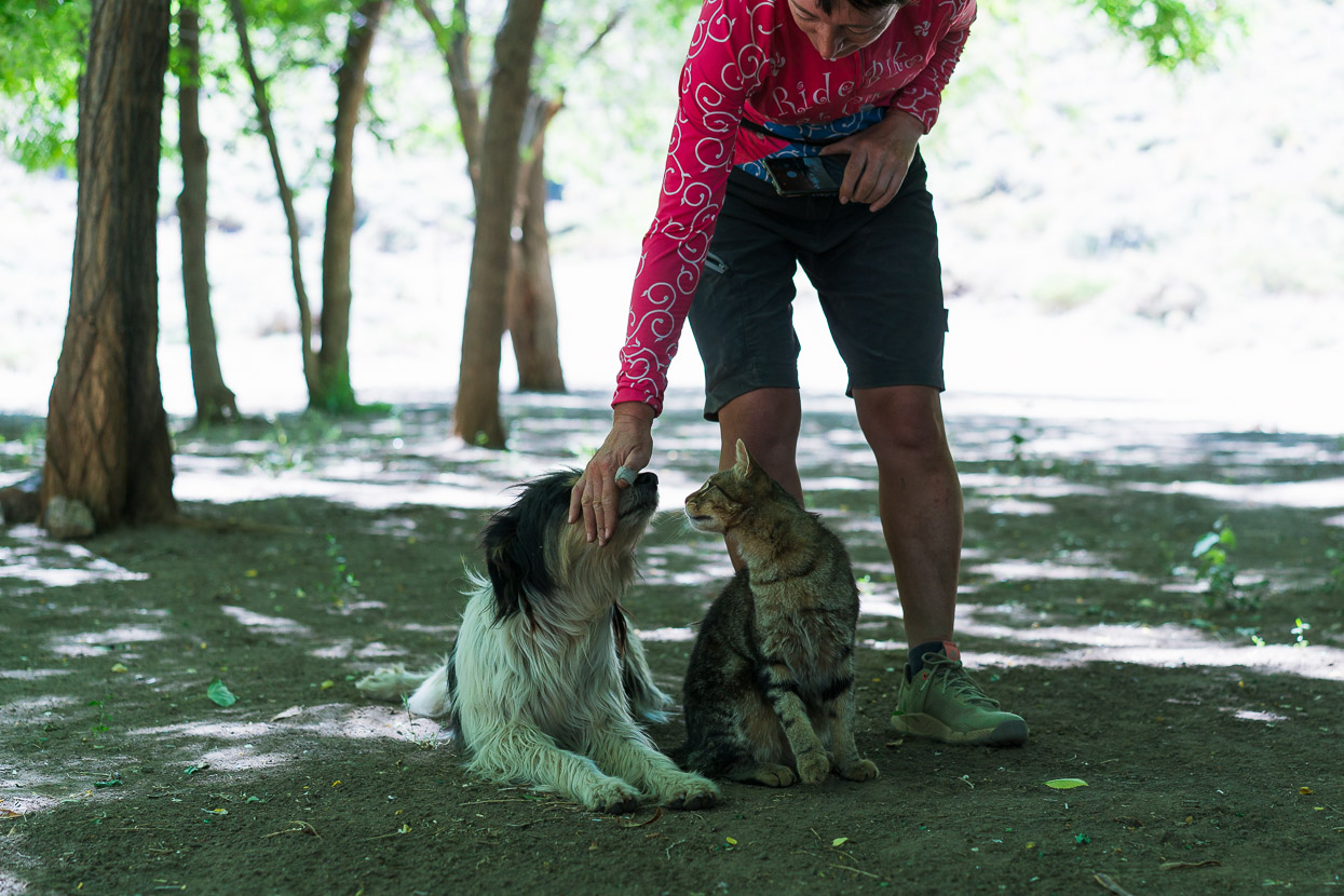
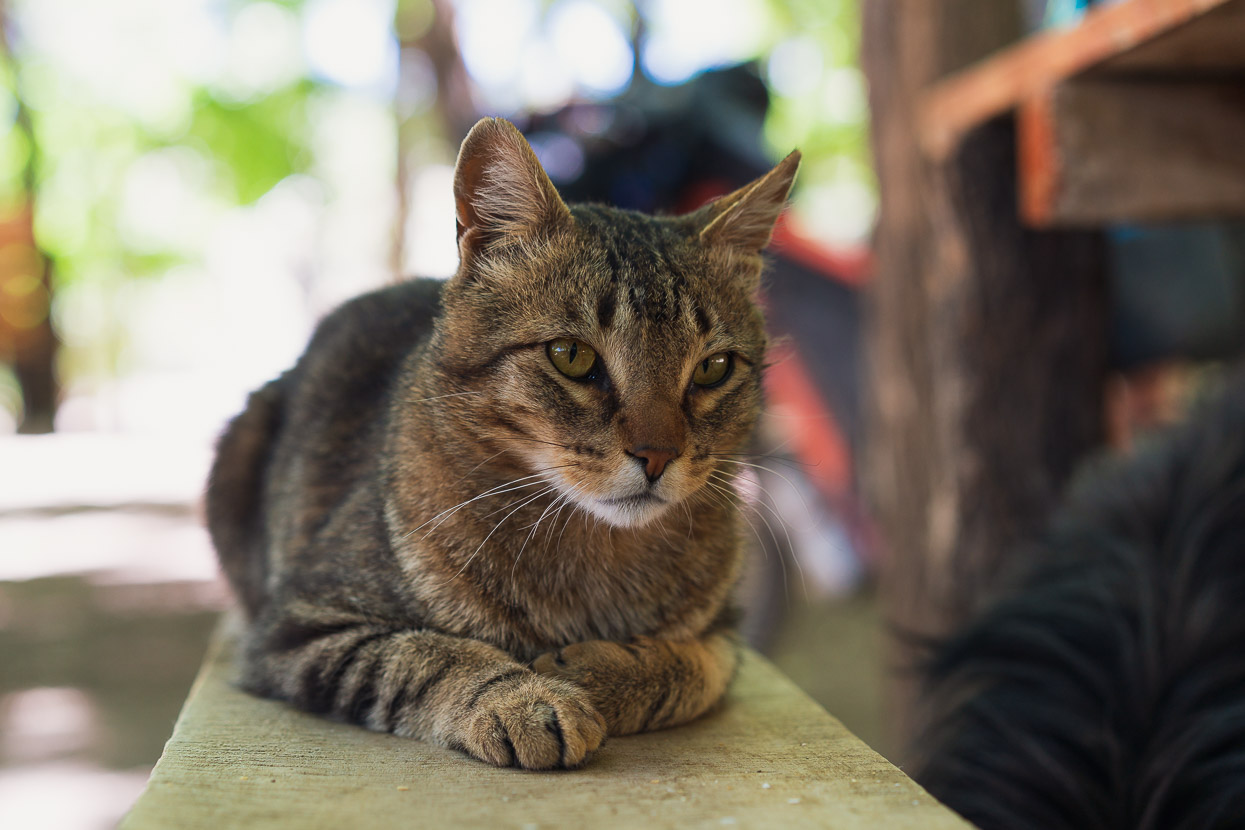
Asking for a tienda drew some some confused looks too. Que tipo de tienda? they asked. Almost universally since Mexico tienda (store/shop), has been used to refer to a corner store/small food shop, but here it’s kiosko, or sometimes negocio (business). Eventually we got there and collected some second breakfast, which, like seasoned dirtbags, we sat down in the gutter to eat, while we fought off callejeros (street dogs) and a friendly cat.
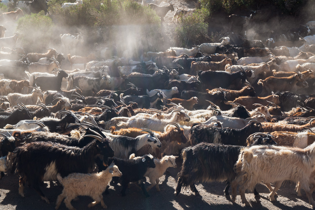
Leaving Cochico was even harder, with this traffic jam.
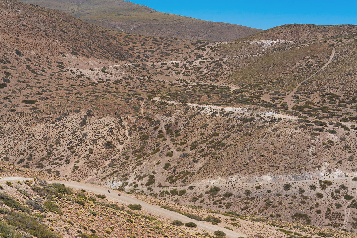
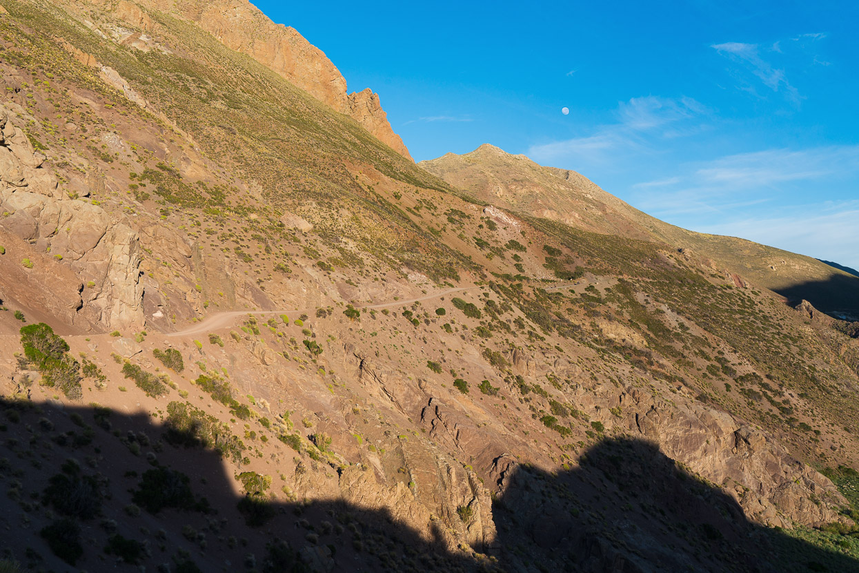
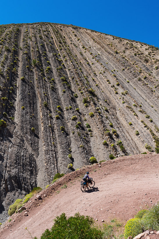
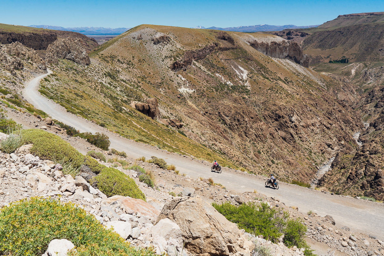
The road climbed away from the canyon to pass a deep gorge, leading us through even more amazing landscapes.
While the 15km wide caldera of Volcan Domuyo dominated the horizon.
Eventually we dropped back to the Barrancas briefly…
… before beginning the long and sometimes steep climb out up the Arroyo de los Nevados. That’s the continental divide in the background (and the border with Chile).
We made very slow progress on a steep and sandy road, combined with a stiff headwind, until we broke out into the middle of the arroyo in the early evening and a respite in the terrain.
We made use of some Ruta de los Seis Miles strategy and stopped to cook out of the wind behind the road bank, before pitching tents on a river flat while the wind continued to gust. As it did all night. By morning we were dusted with a layer of volcanic sand, and Rachel had hardly slept, with her single pole tent flapping badly all night.
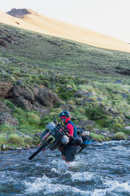
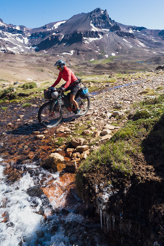
The morning was the coldest of the trip so far, and we left camp into the still strong wind all wearing a lot of clothes. It wasn’t below zero, but it must have been close, which made the series of knee-deep stream crossings chilling work. Rachel nearly fell in at one point, carrying her bike though a bouldery creek. The bike was just about submerged but fortunately she didn’t go right in.
Sunshine, finally, in the upper valley was very welcome when it came.
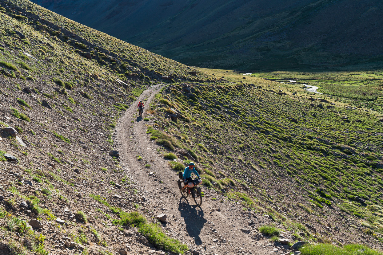
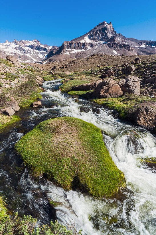
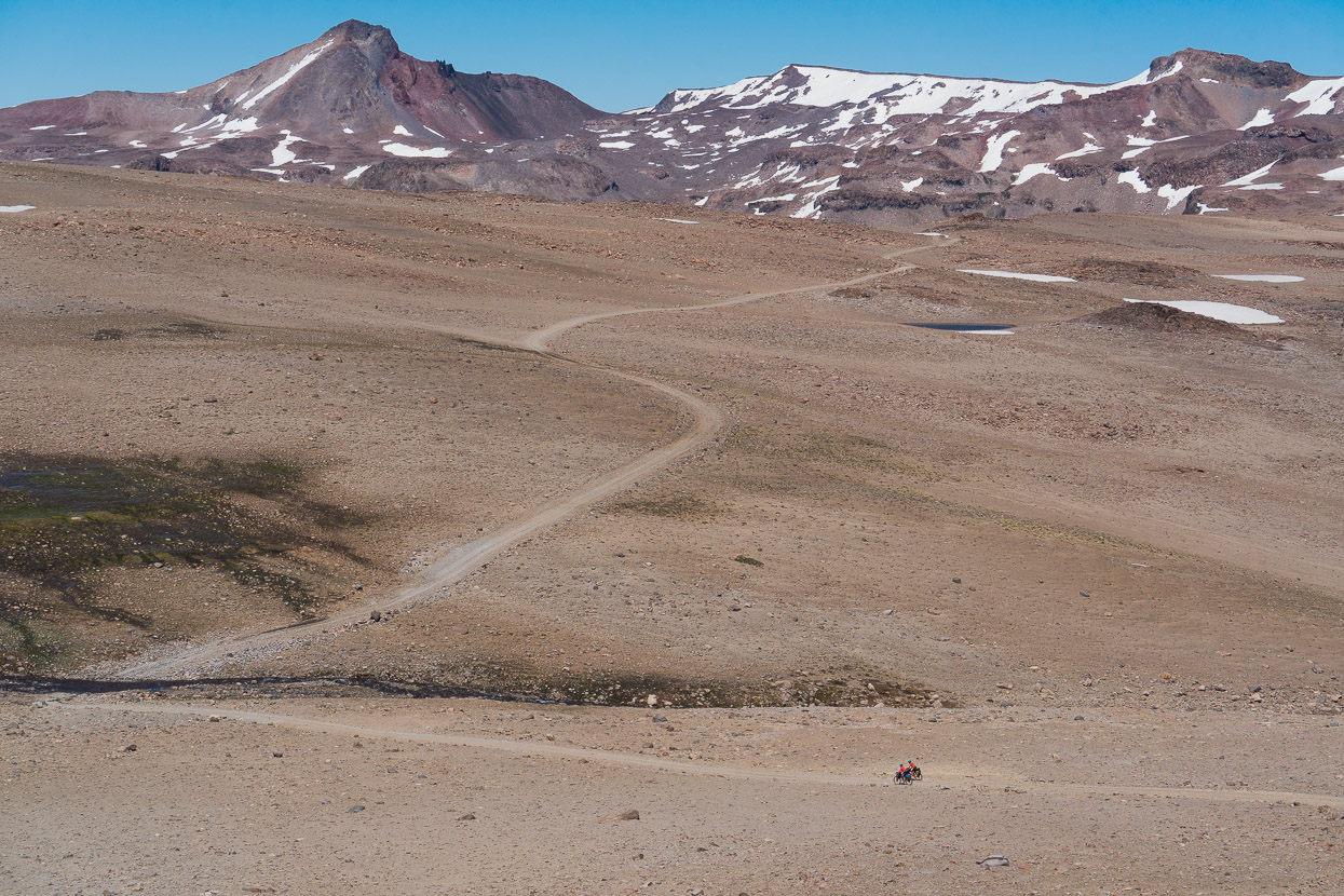
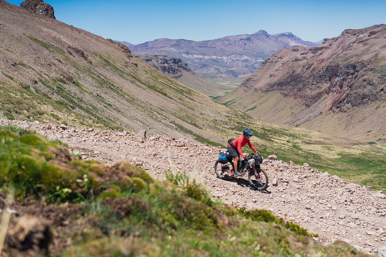
The morning light brought the landscape to life as we climbed higher on rough doubletrack.
Note the icicles… as we climbed higher the puddles were frozen too.
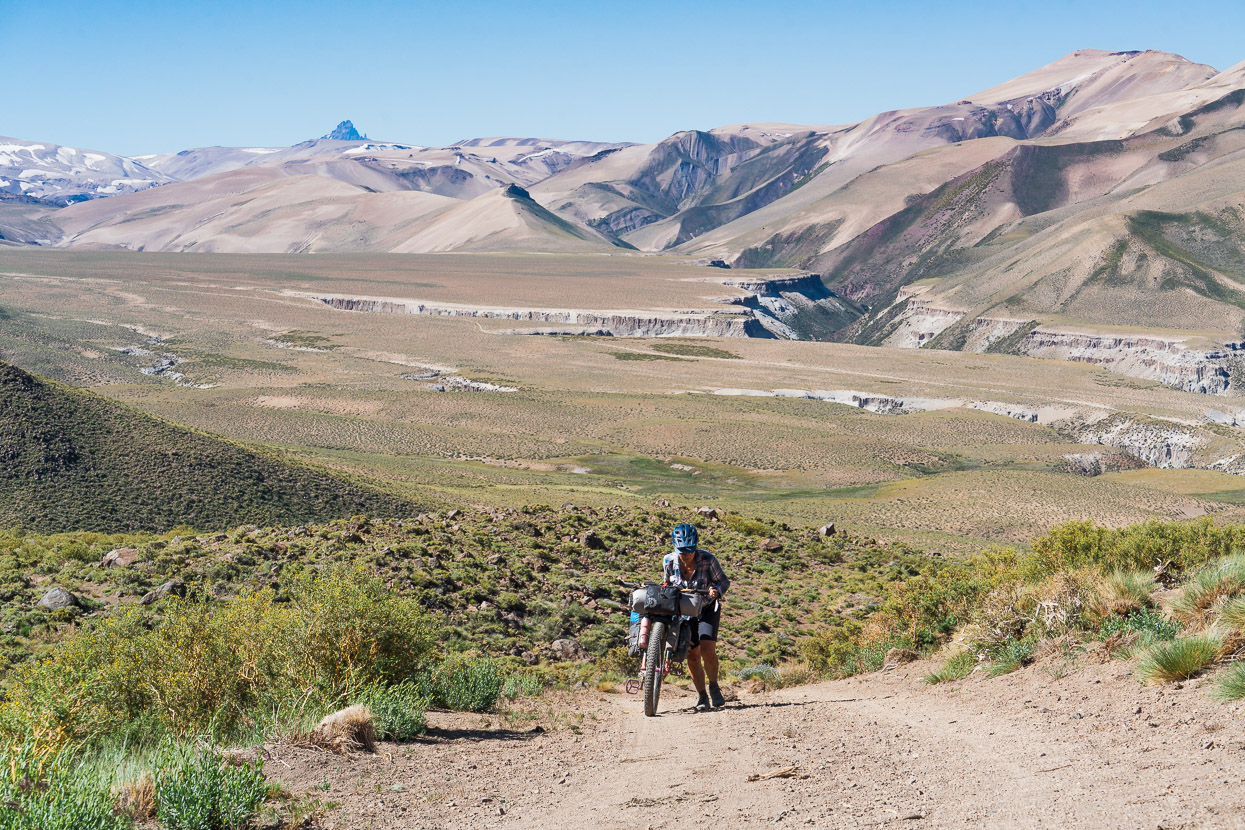
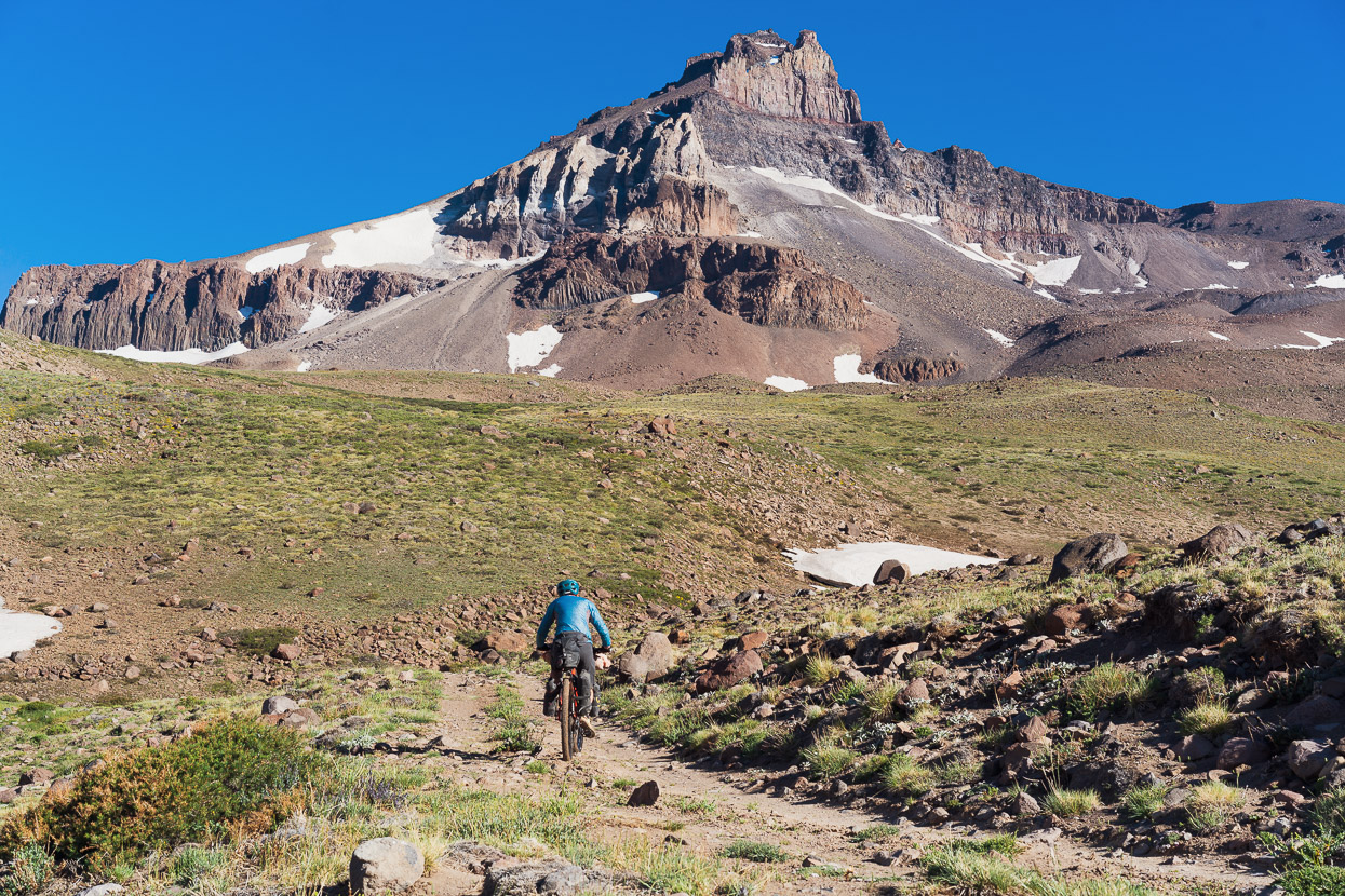
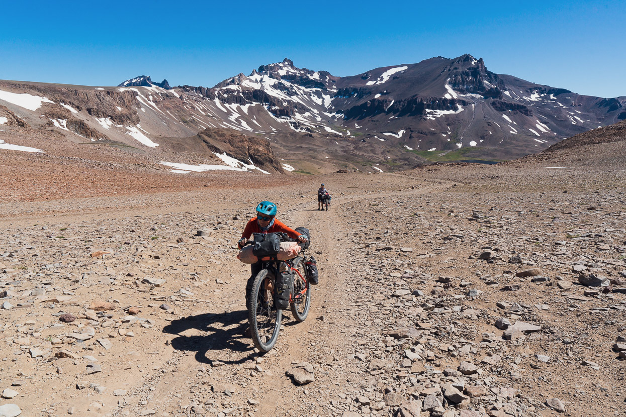
The final stretch to our highpoint had us working hard in the thinner air and headwinds.
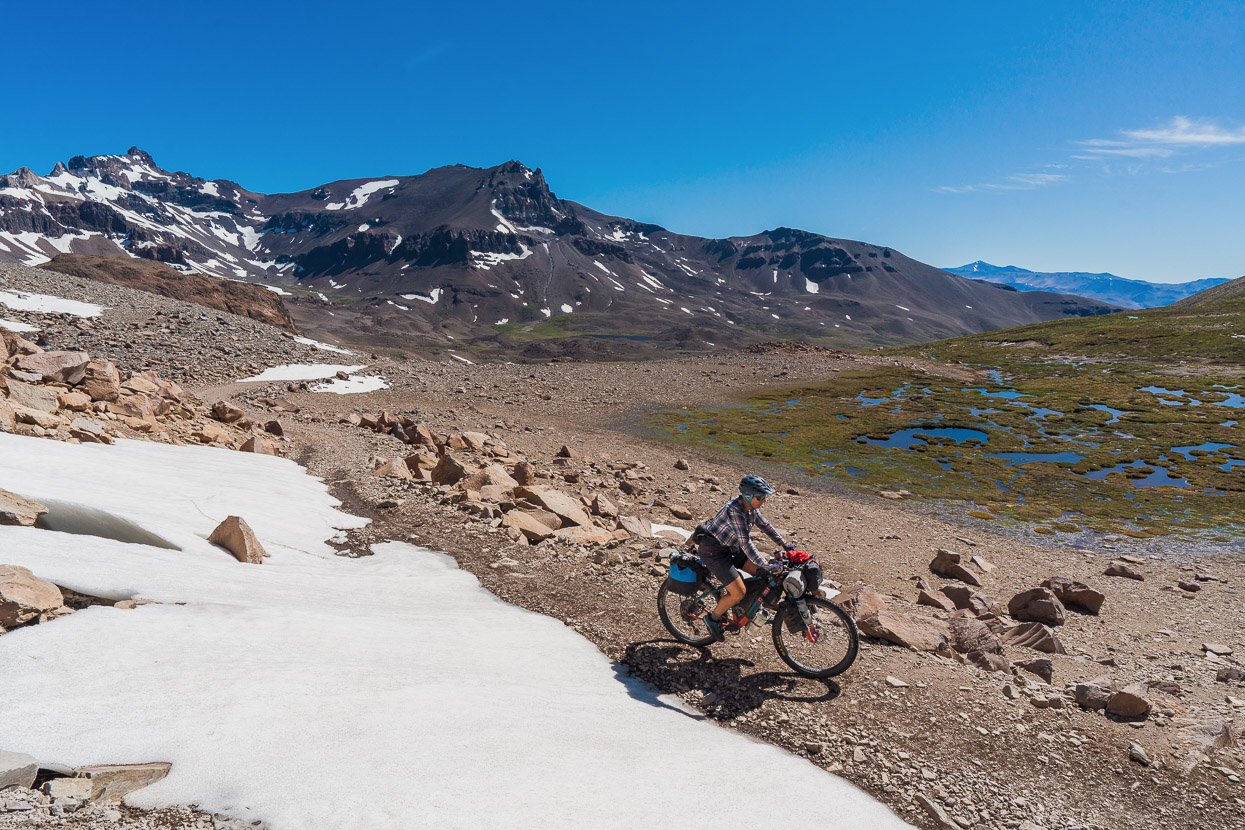
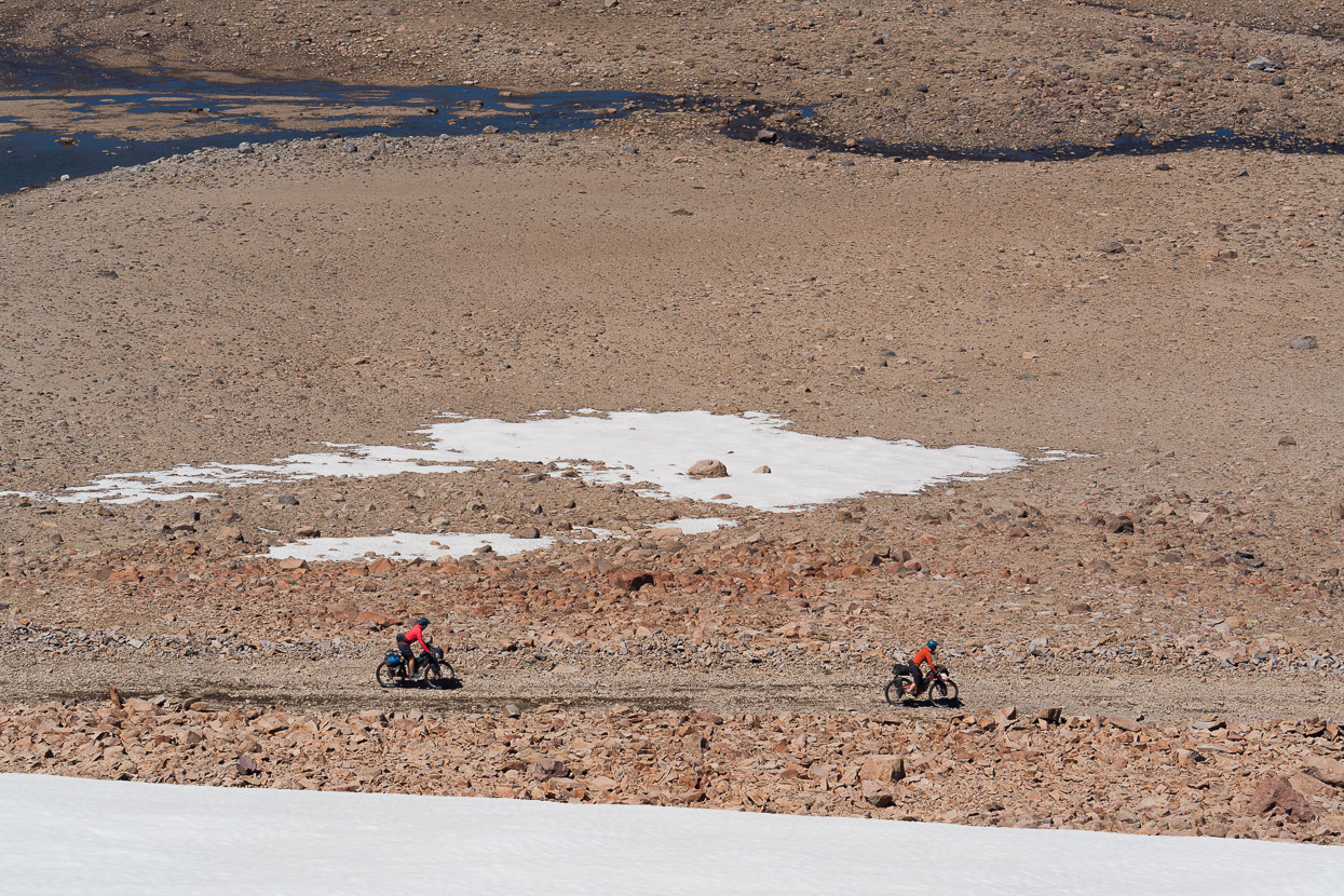
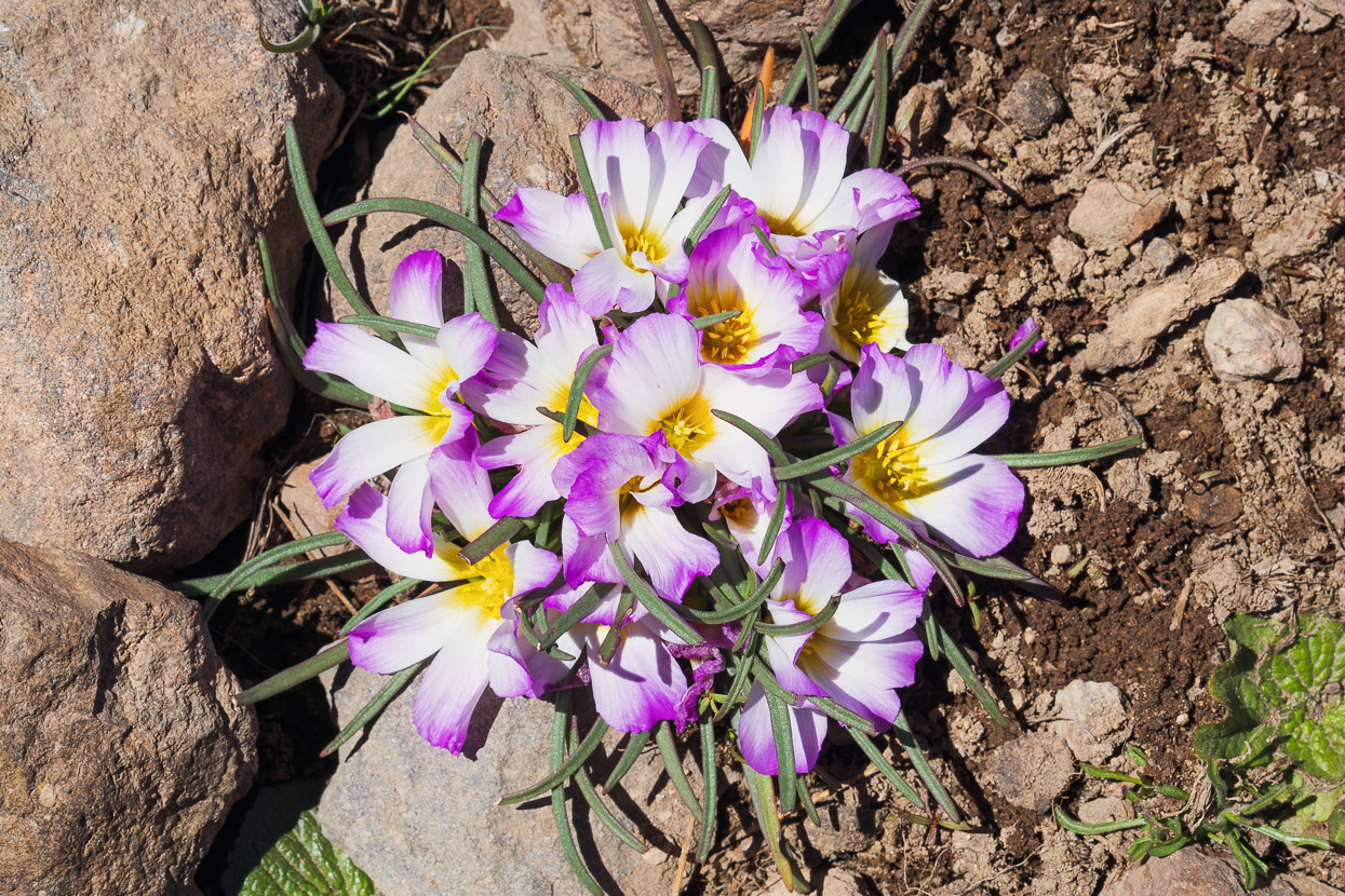
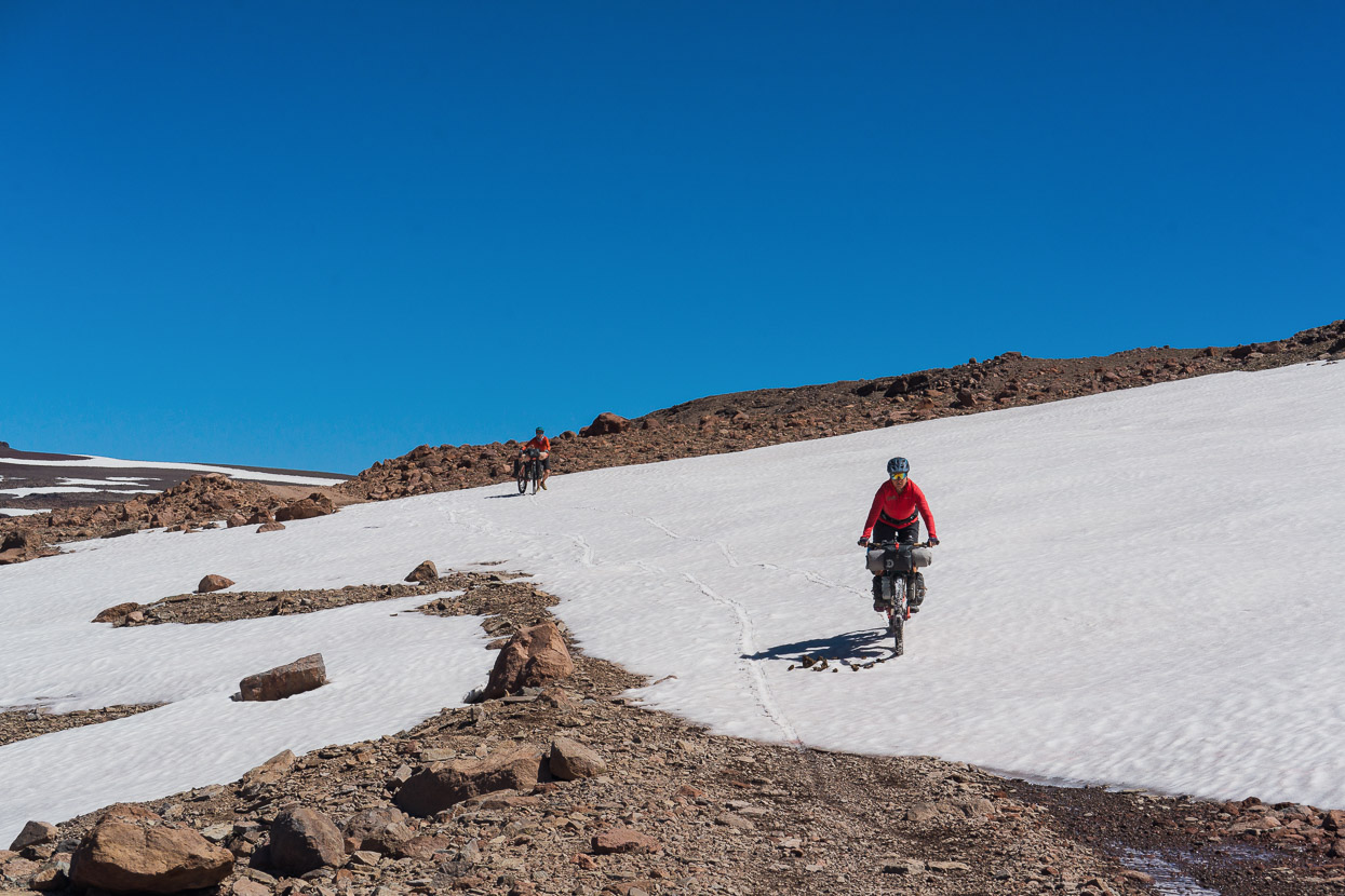
The road stays high for a while, crossing a sort of double pass with a dip in the middle. We slithered down patches of remaining winter snowpack, passed little bursts of wild flowers among the stones and had lunch in the sun by a small creek.
The rocky descent soon dropped us into greener surroundings.
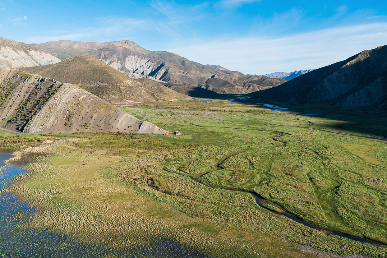
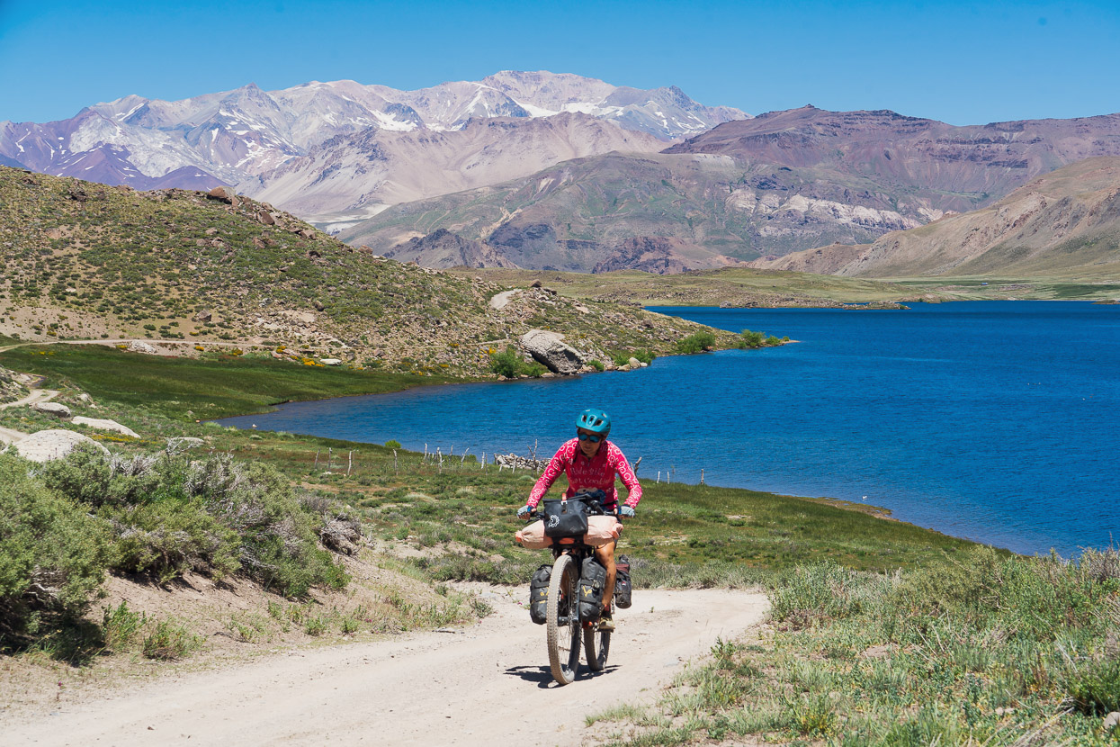
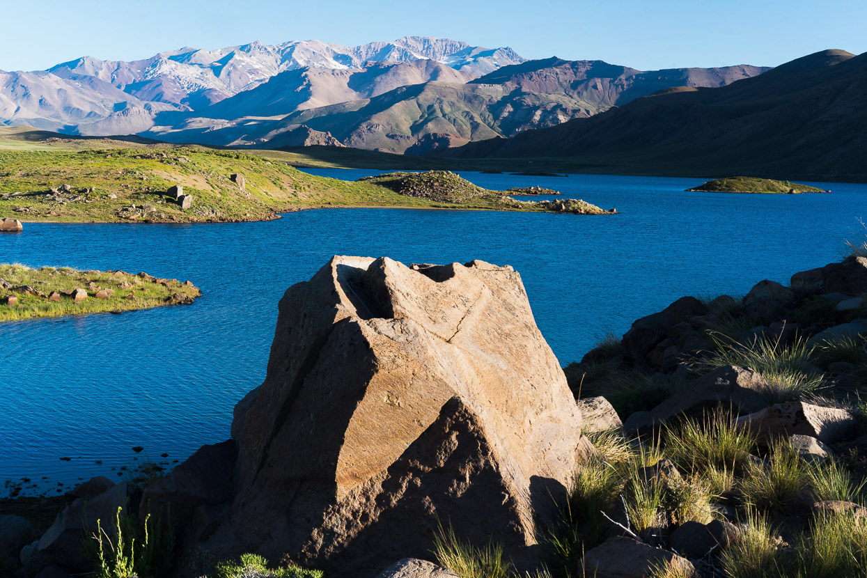
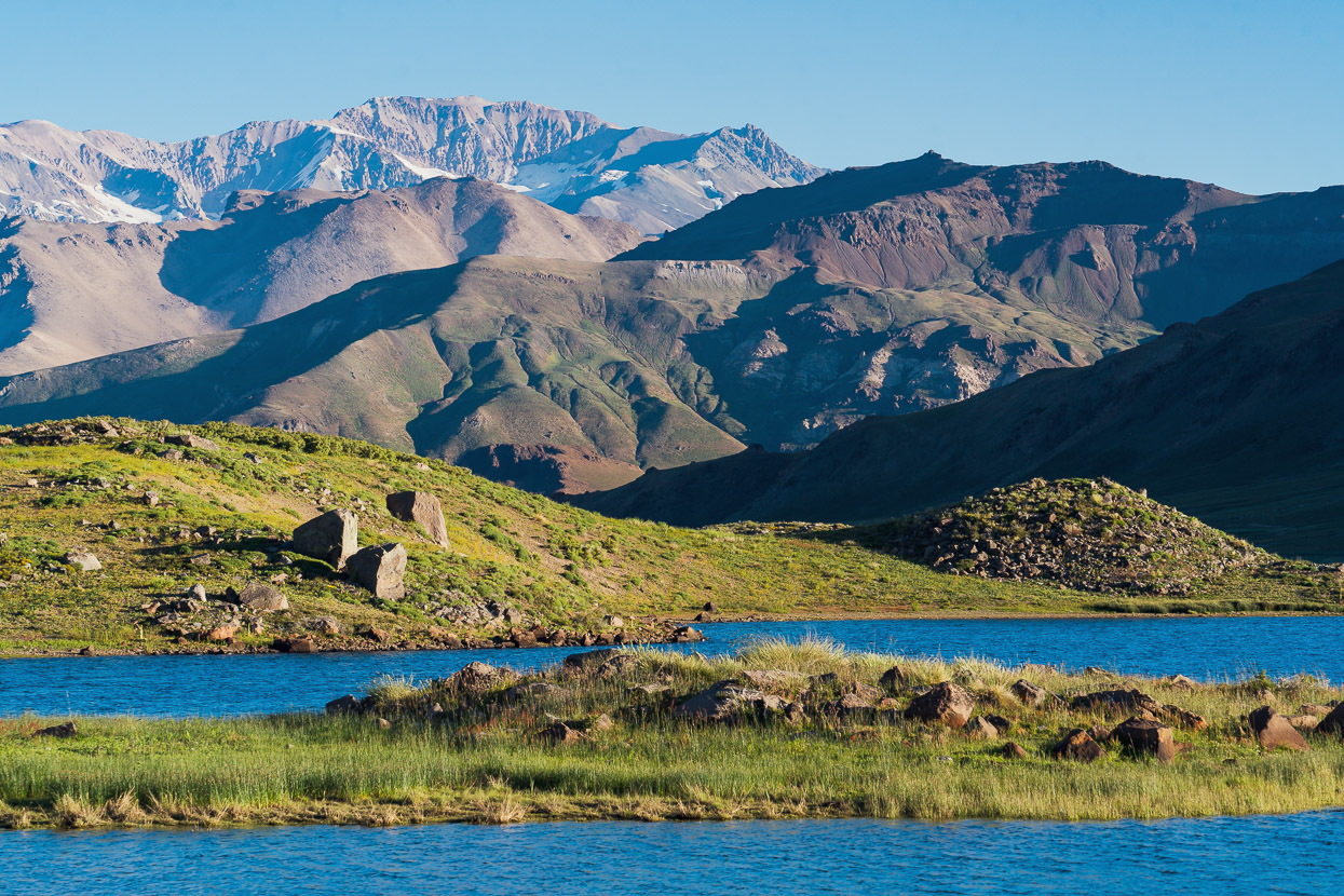
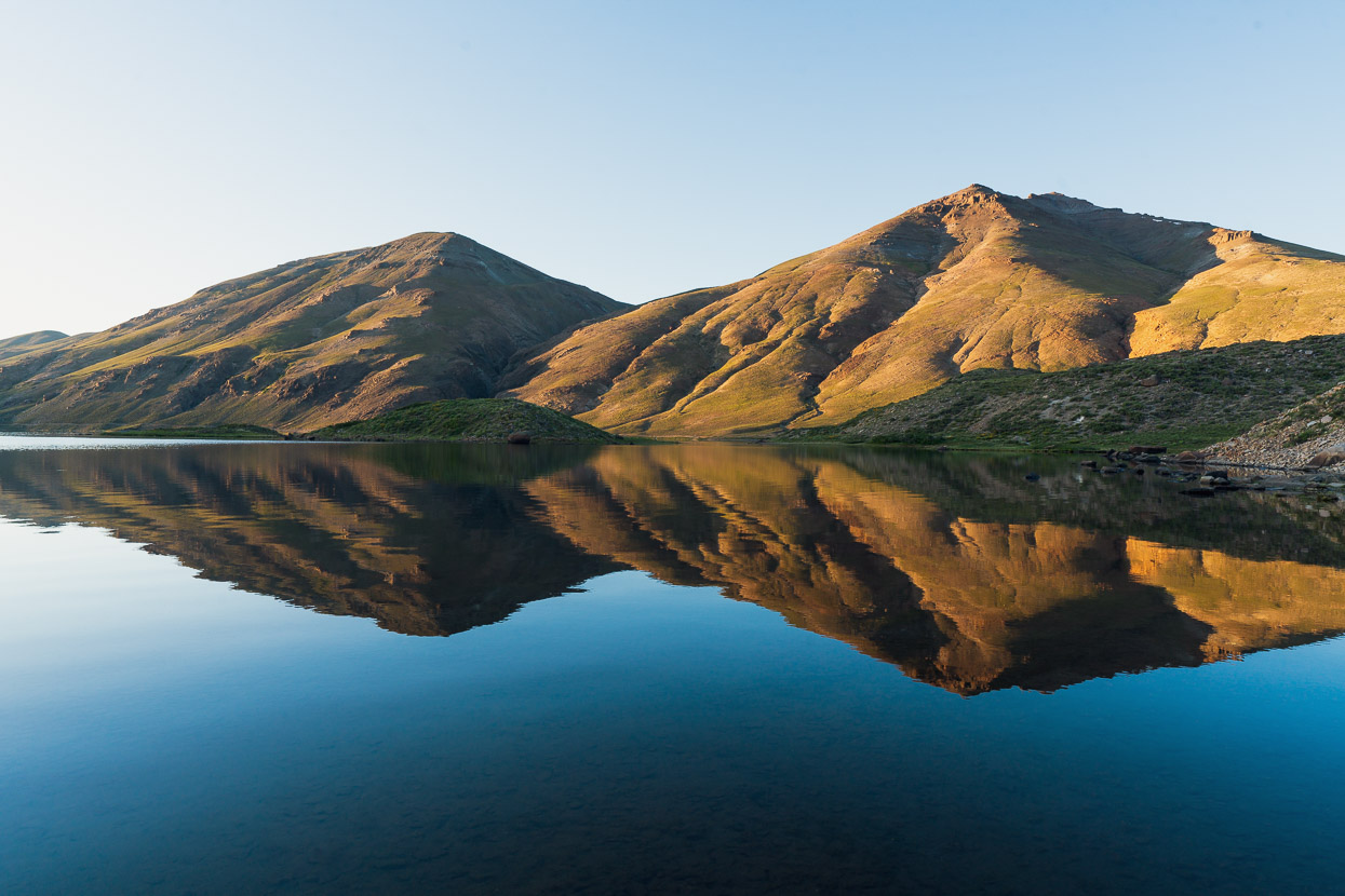
We sped down valley through the warm afternoon, enjoying the easier riding and unfolding scenery until we reached Laguna Varvarco Tapia, which was too stunning to leave promptly, so we declared a slightly early finish to the day.
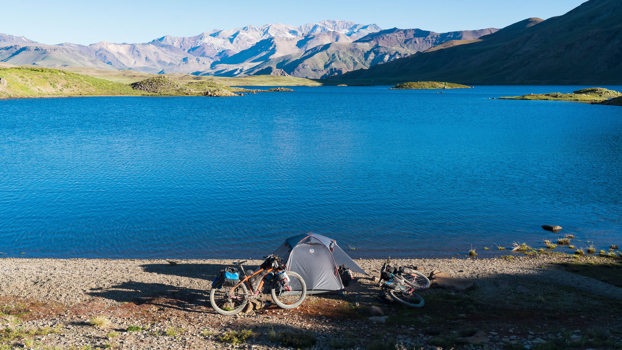
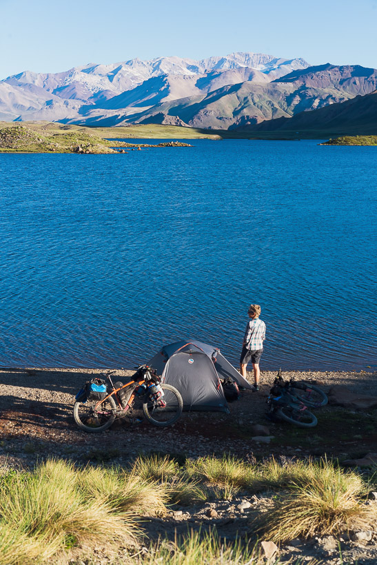
And set up camp on the shore of the lake, in what was the best campsite of the trip so far. On arrival we all walked straight into the lake with our riding clothes on and dived in – we were that filthy that it was the obvious thing to do.
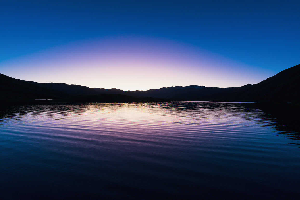
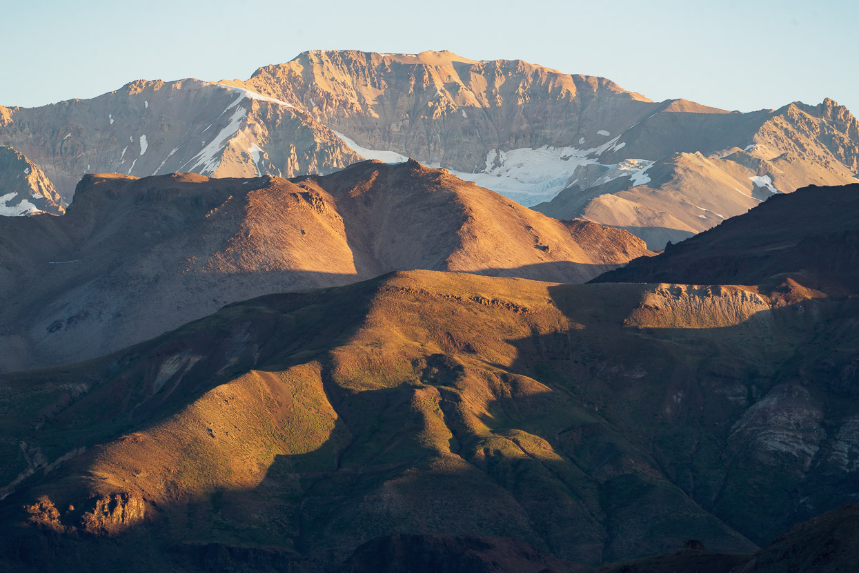
The swim preceded an afternoon nap, before heading out with camera to chase the light in this amazing spot.
As sure as the afternoons will be windy, here the mornings will be sunny too.
Although it was a ‘mostly’ downhill ride to Varvarco, the 75km ride still packed in 1000m of climbing as it sidled around the slopes of Domuyo.
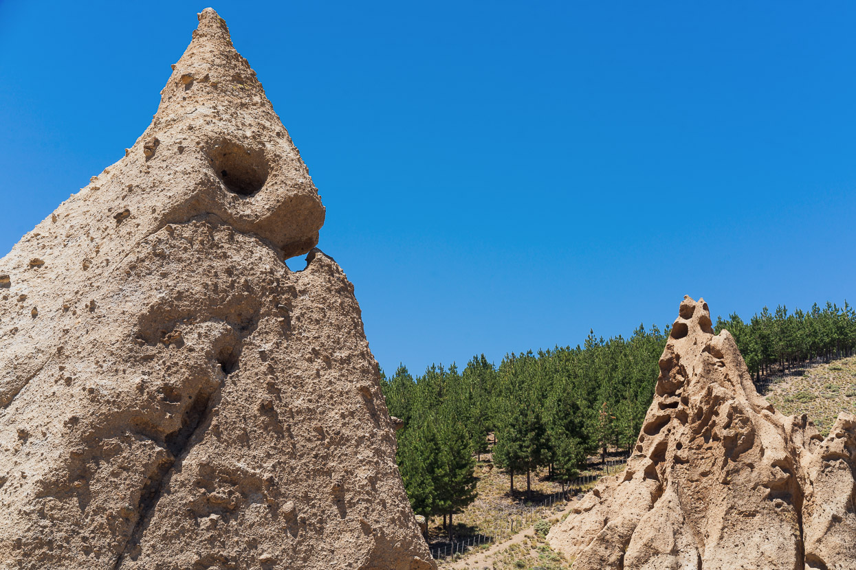
Some punchy climbs in and out of tephra filled canyons had us working hard at the hottest time of the day.
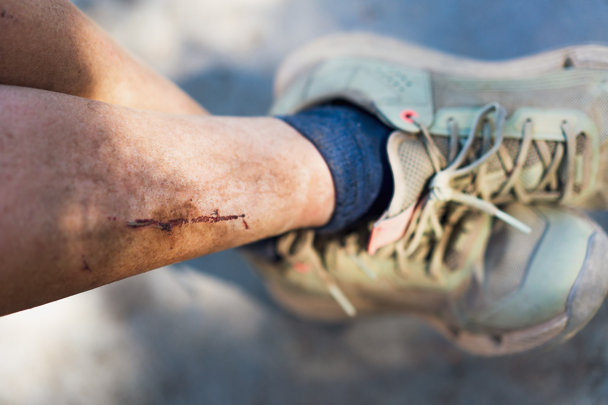
We rolled into Varvarco hot, dust covered, thirsty and hungry; all feeling like we’d had an adventure, told through dirt, scratches, cuts and creaking bicycles.
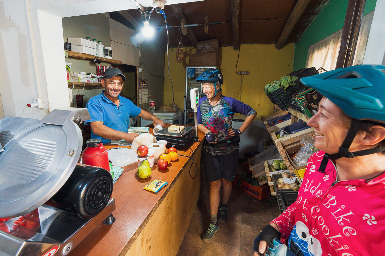
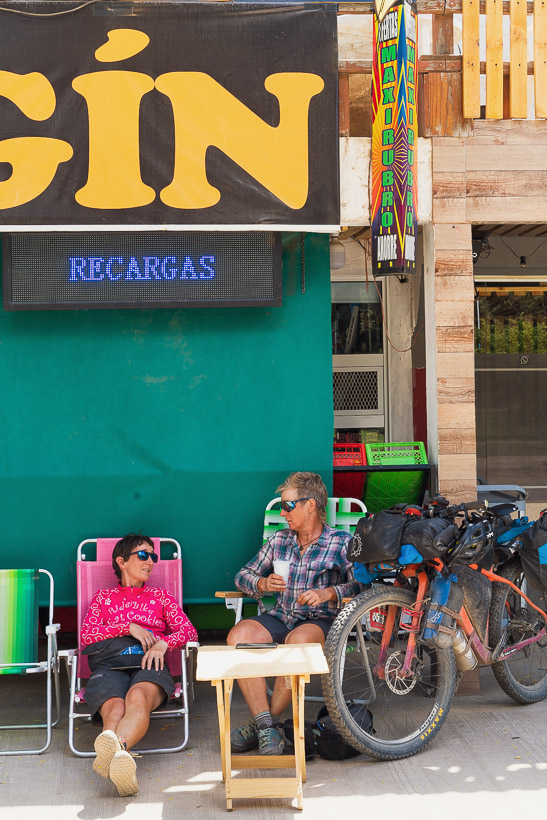
Although there was no restaurant, we could buy food from a couple of stores, and we got a small cabaña for the night for a very reasonable price. We were lucky to get it though, because we arrived in town during the World Cup semi final – and in Argentina everything stops for football.
Another great, but sizzlingly hot, day of riding through a landscape reminiscent of Central Otago led us to Andacollo and a most welcome two day break, to rest, blog and fine tune the plan for the next leg.
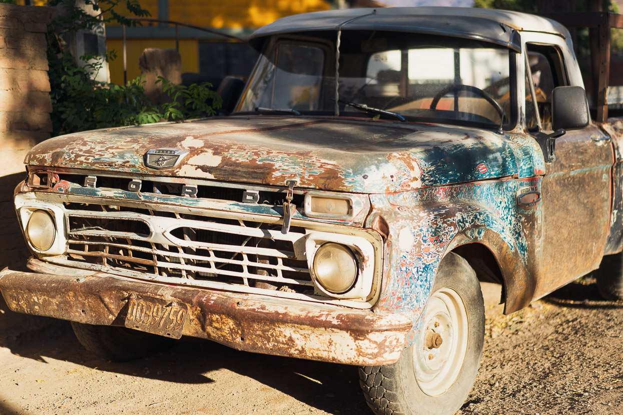
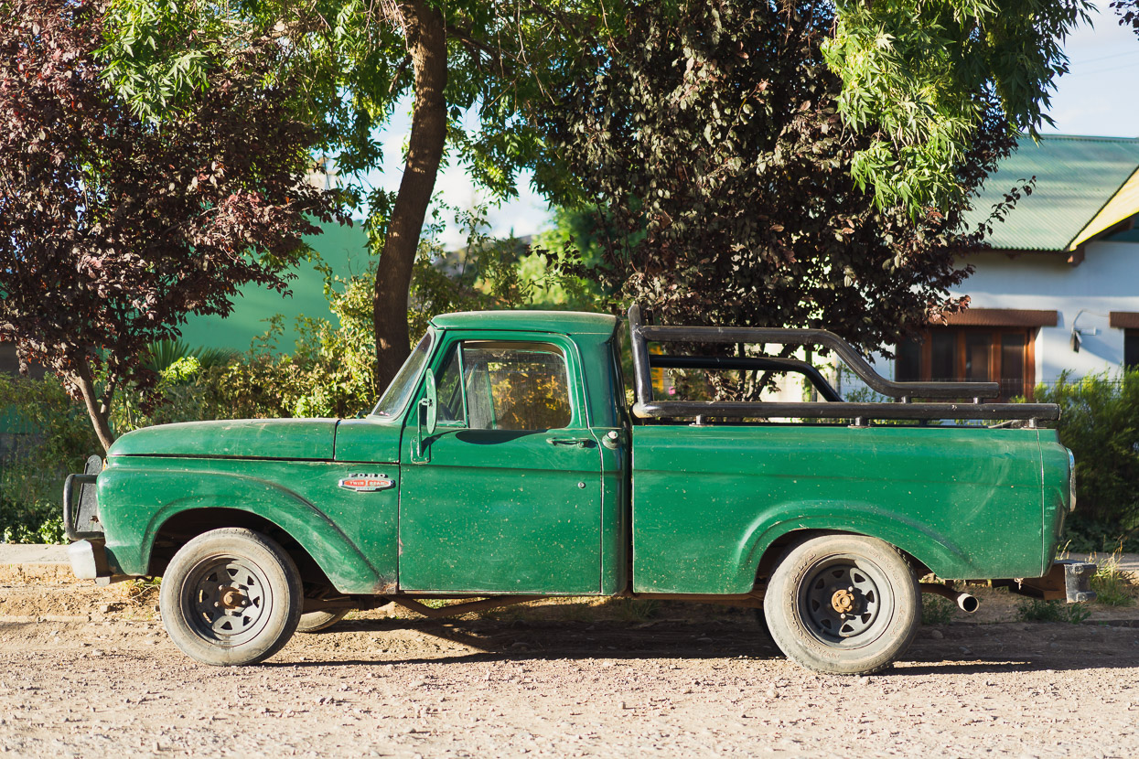
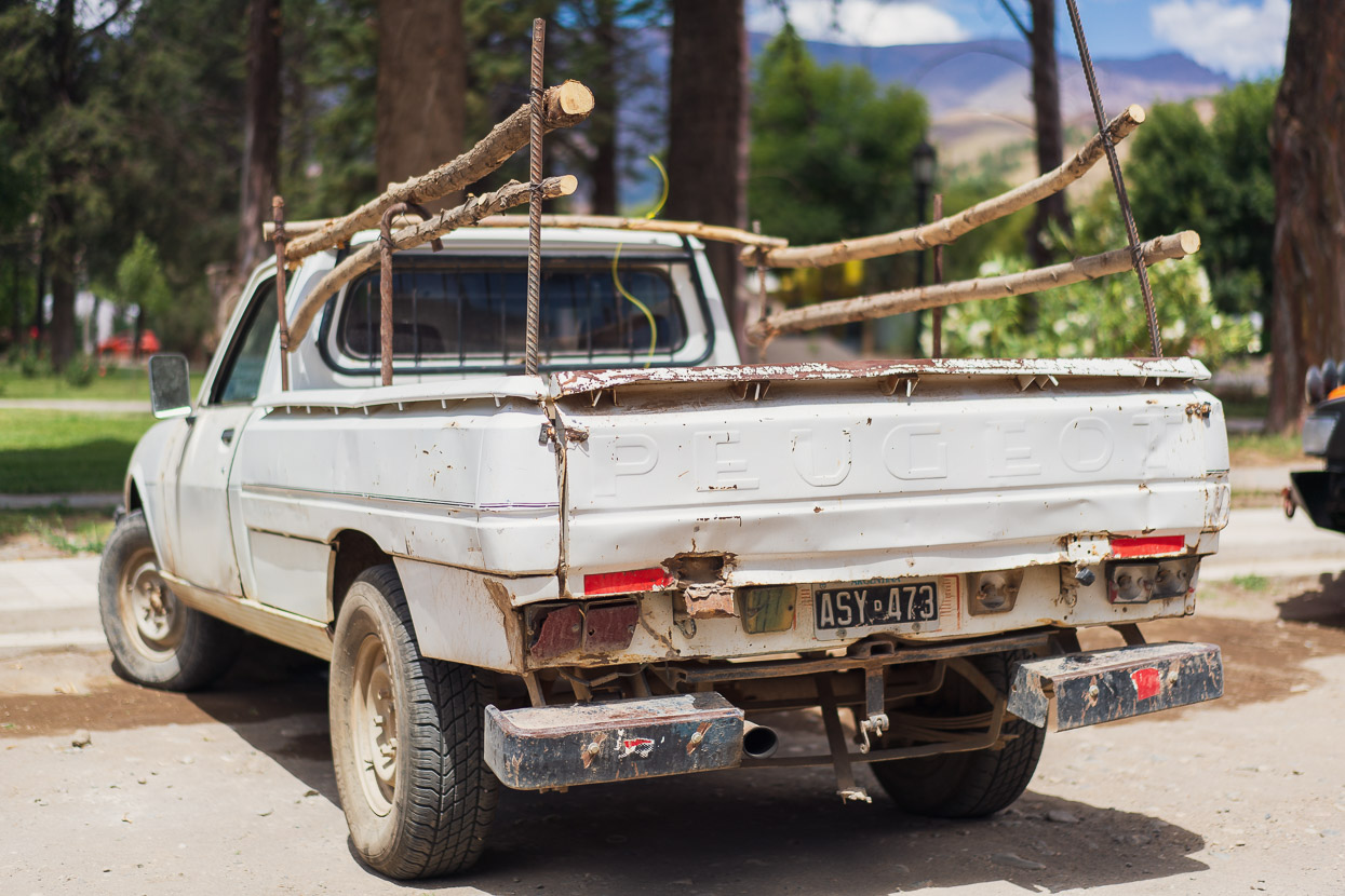
And of course wander around town taking photos of old American trucks, between eating ice creams.
Happy New Year to all from Mark and Hana, thanks for reading.
Say thanks with a one-off donation, or check out our Bikepacking guide.
If you enjoy our content and find it informative or inspirational, you’re welcome to show us some love with a donation or a book purchase (US$19.99). The services we use to create our Bikepacking routes and host the website cost money, funds that we’d rather be spending on the road, creating bikepacking routes and content to share with you. Thanks for reading!






Join the discussion One Comment