July 24–26, 2022.
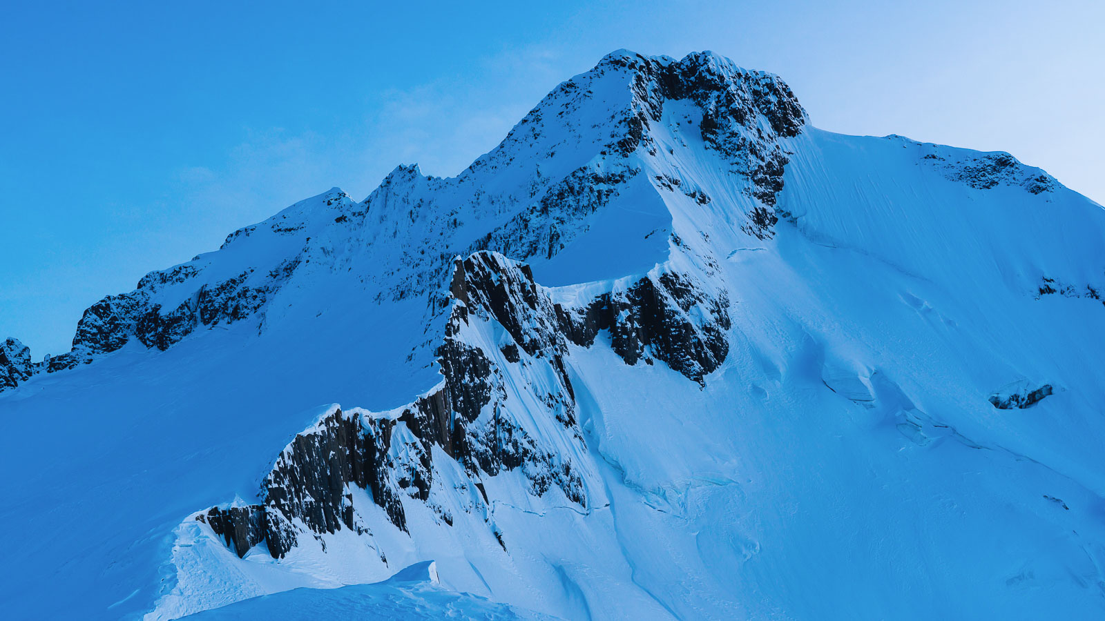
Mt Brewster (2516m) is situated high above the Haast Highway and stands prominently between the upper Makarora and Hunter Valleys. A survey of the map shows this glaciated massif quite separate from other glaciated peaks, and that’s one of the features that adds to this mountain’s appeal: being high on a mountain always feels more spectacular when there aren’t other high summits in close proximity.
Once every few years (it used to be more frequently) I catch up with one of my oldest friends, Kristen Foley, and we go and have an adventure in the mountains. Over the years, there’s been spring and summer objectives, such as the North Ridge of Mt Sefton, the South West Ridge of Aspiring and the Darrans, as well as winter trips too, usually to go ice and mixed climbing in Queenstown’s Remarkables and Hector mountains. Sometimes it’s been a winter rock climbing trip.
This July we had our eyes set on a winter ascent of Mt Earnslaw, one of the highest mountains in the Southern Lakes region. But a prolonged storm cycle, that battered most of the country, dashed our plans when high winds caused flight cancellations leaving Kristen stuck in Wellington. This shortened our window of opportunity, and the storm shed ridiculous amounts of rain in the mountains, along with substantial dumps of snow.
With less time to play with, we decided to pick a slightly less involved objective and instead settled on Mt Brewster – a peak neither of us had ever visited before. Brewster had the benefit of no valley walking, and instead a relatively quick climb up through the bush to a comfortable base hut. Just right to fit into the four days we had to play with, including driving down and back from Christchurch.
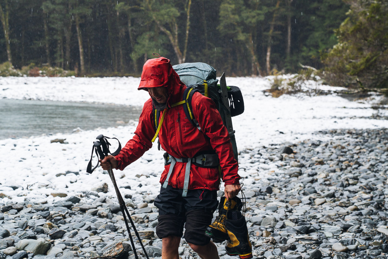
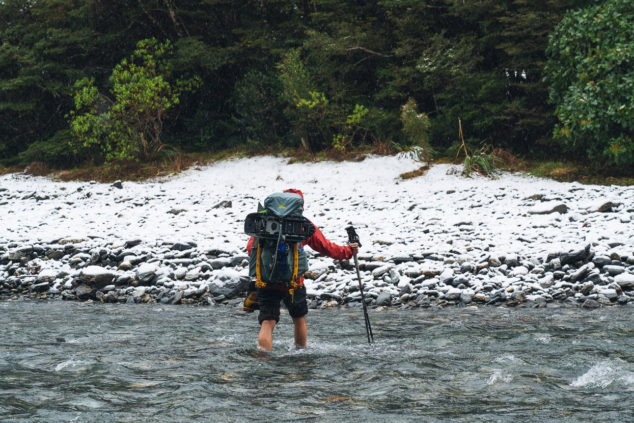
The Haast River runs very low at this time of the year, with all the moisture locked up in frozen slopes, but it’s still a chilly calf-deep wade across to the other side and the beginning of the 900m climb up to Brewster Hut. We used running shoes (barefoot would have been fine in hindsight, with the river low and clear) for the crossing and left them and some sodden socks stashed in the bush at the start of the track.
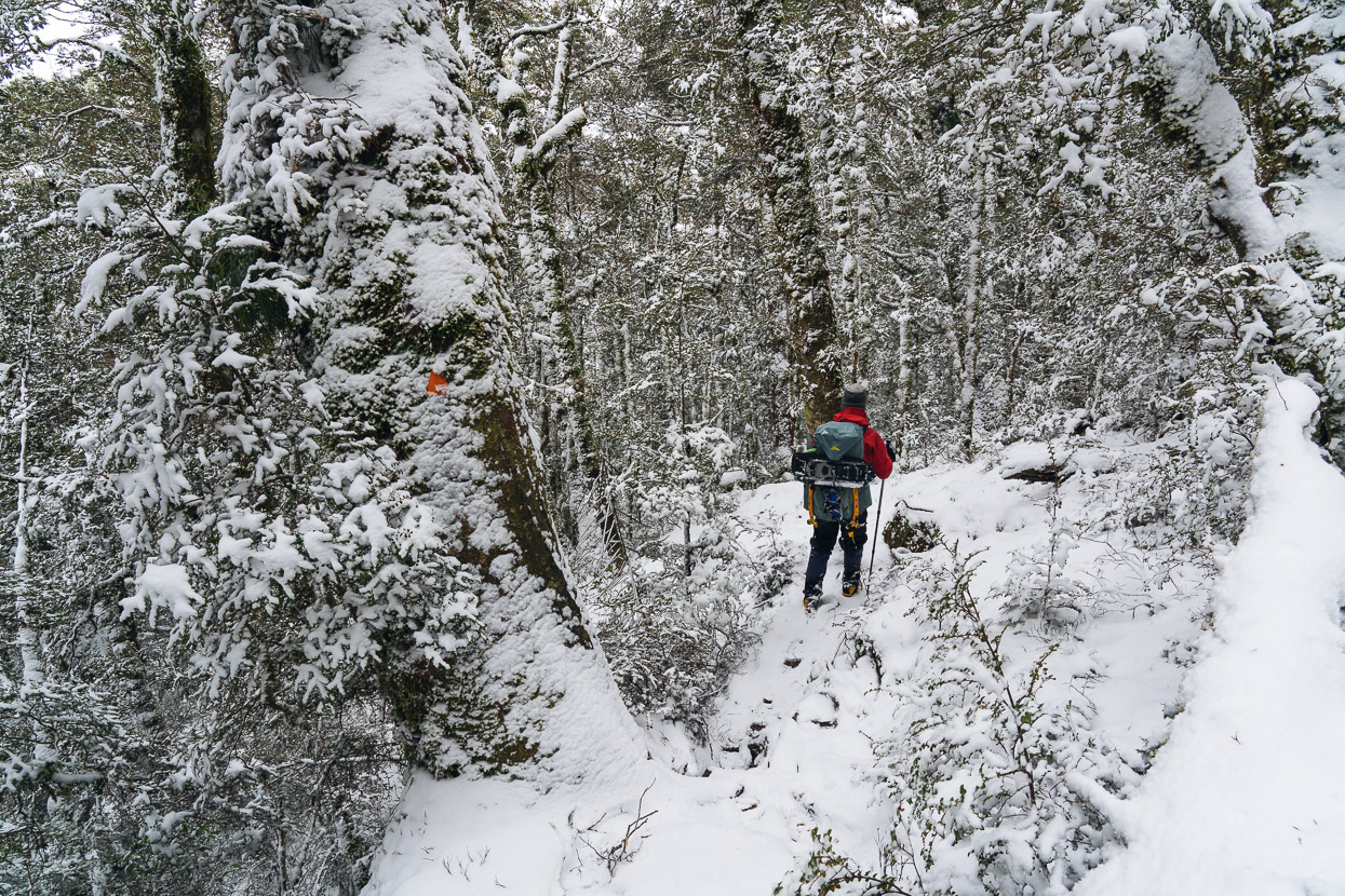
A long climb though the beech forest followed until eventually we broke out into deep, fresh snow at the bush line.
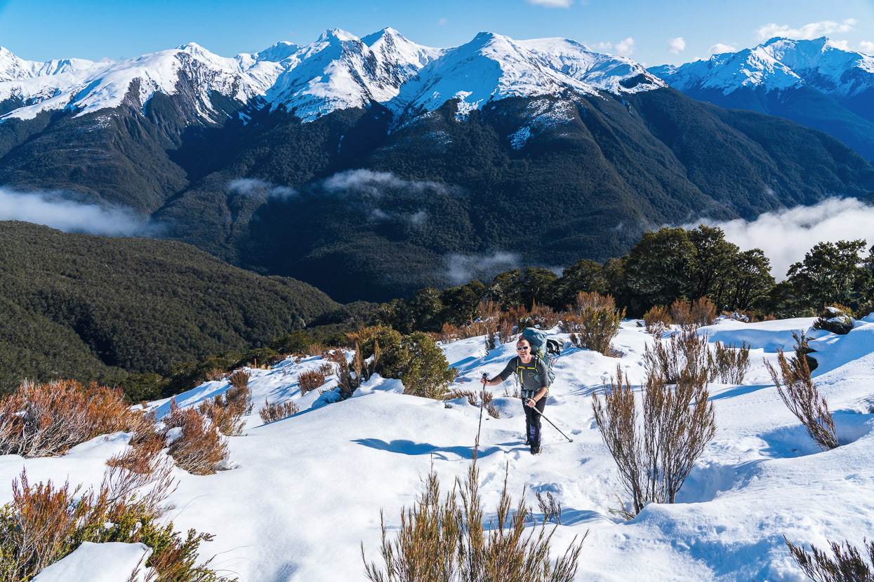
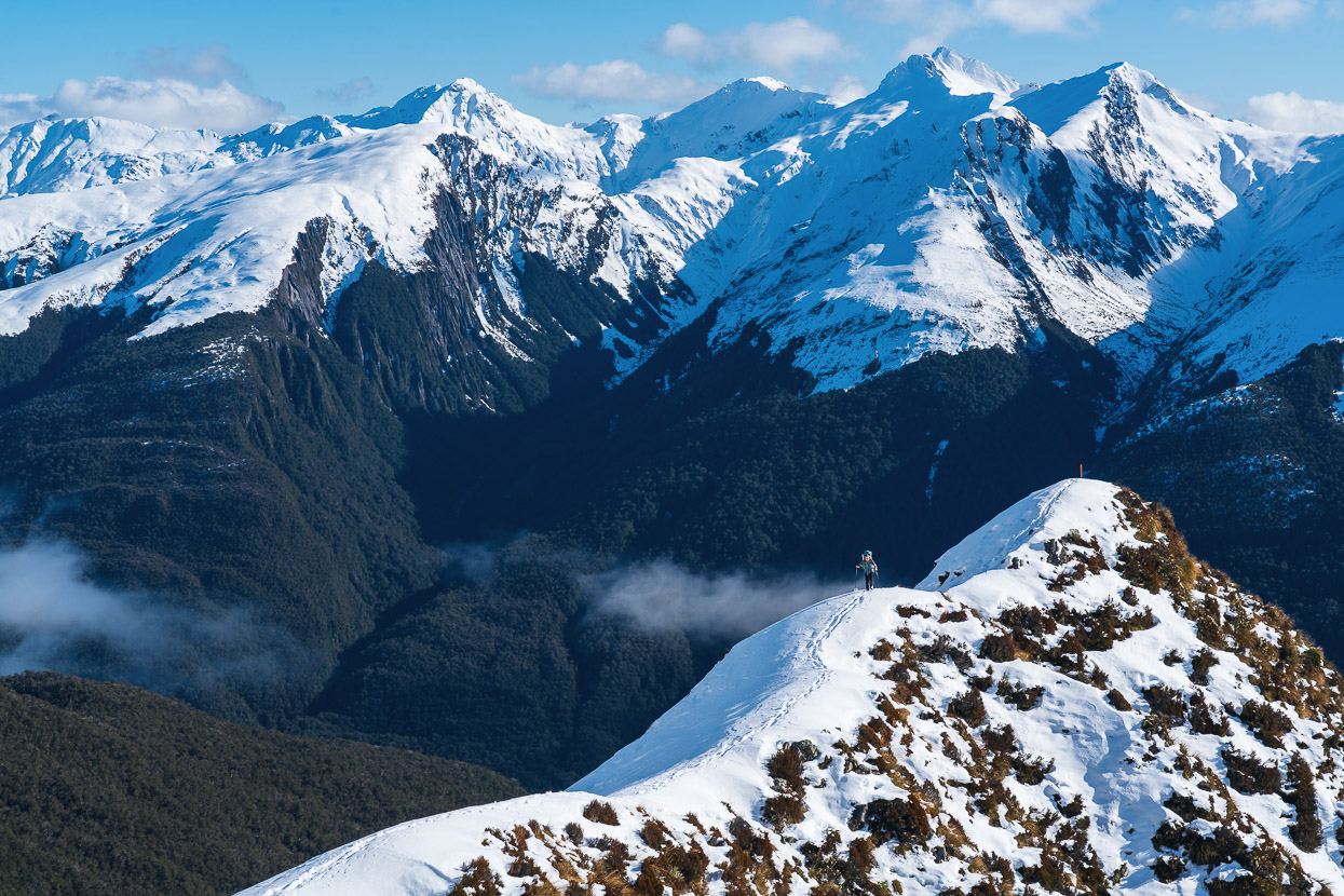
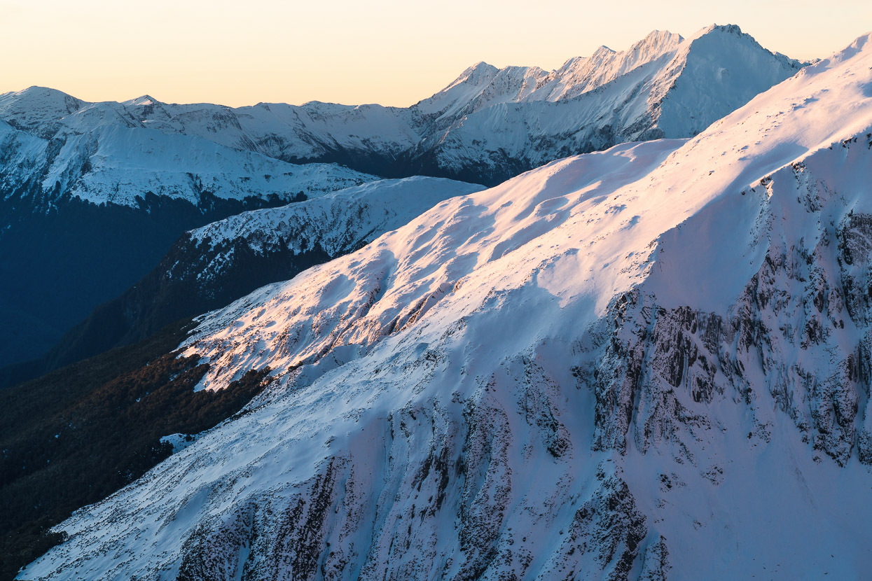
A day tramper (whose name I forget) and a split boarder called Gerry were heading up that day too and passed us near the bushline, so Kristen and I got lucky and didn’t have to break trail for the remaining climb up to the hut. Instead we got to take our time and soak up some amazing views of the peaks west of the Haast Highway.
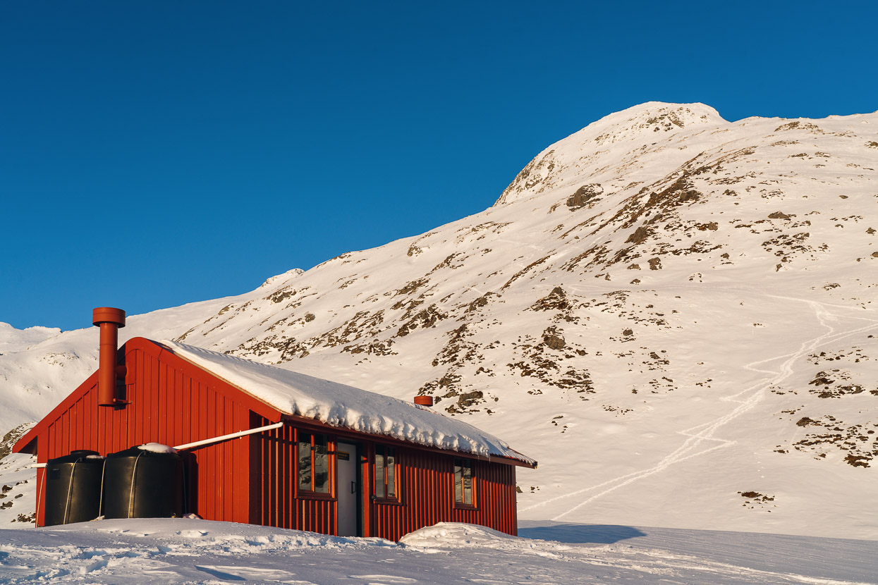
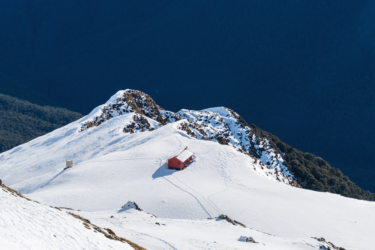
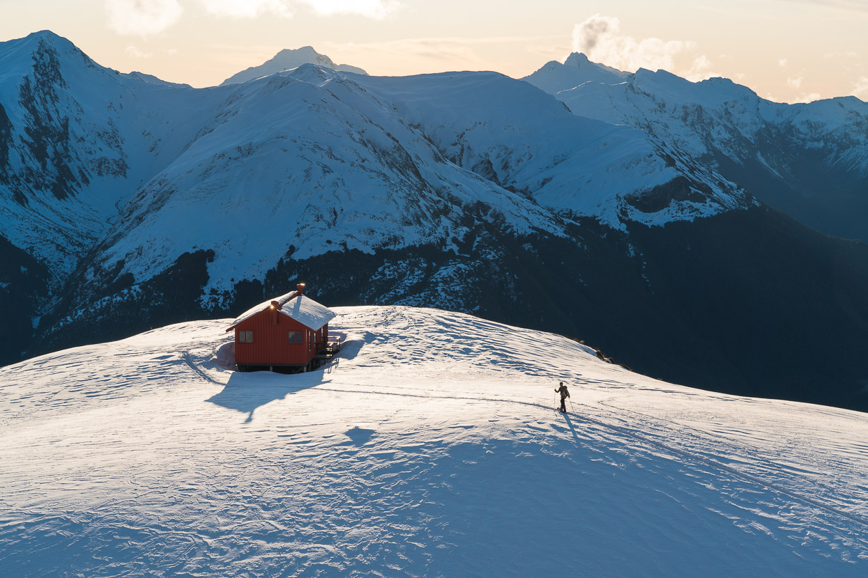
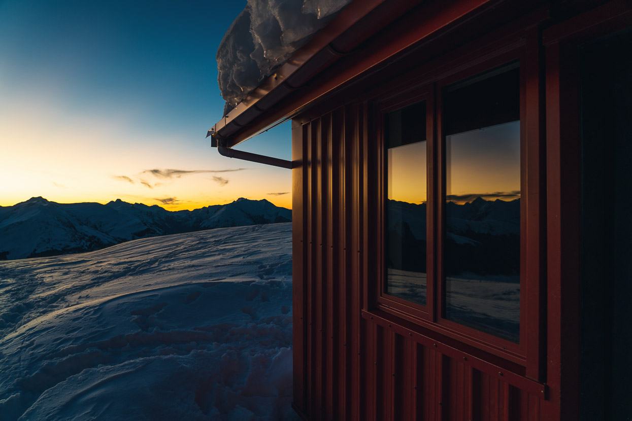
This photo was taken at the end the day, but I thought I’d pop it in here as it illustrates the surroundings well. Brewster Hut is a very popular destination in summer, but less so in winter, especially after a prolonged storm cycle. Aside from Gerry, who was just there for the night, we had the hut to ourselves.
Mt Armstrong sits directly up above the hut, and the initial part of its climb is common with the Brewster route. After lunch Kristen and I headed up that way to do a recce for our alpine start the following morning. We wanted to put in a boot pack to speed the ascent for the morning, ease navigation (at least for the first hour) and figure out where to go to pass beneath the prominent bluff you can see on the left side of the dome above.
Gerry’s skin tracks saved us some post holing for the first 100 vertical metres or so.
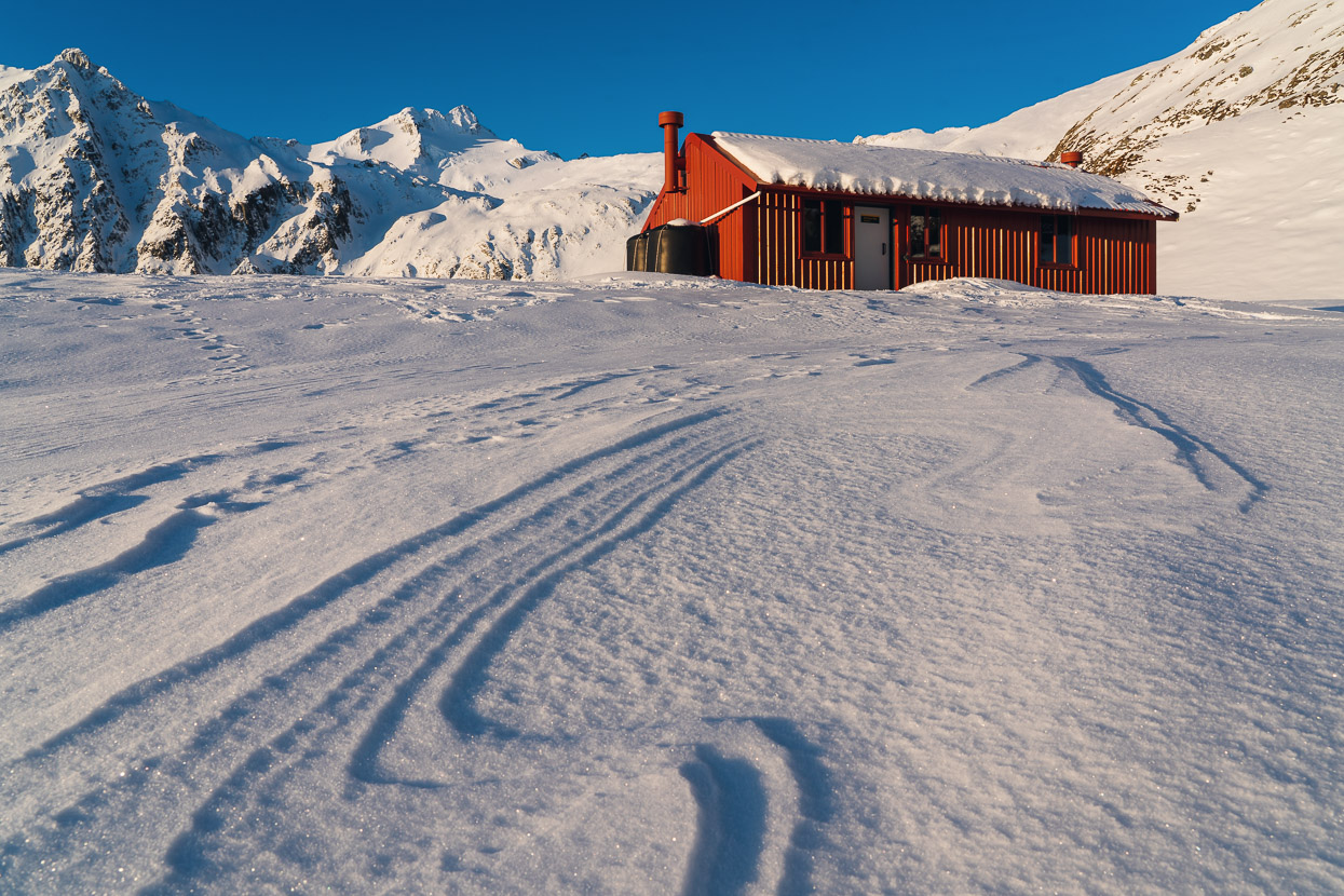
A pretty amazing spot to have as a base for a couple of nights.
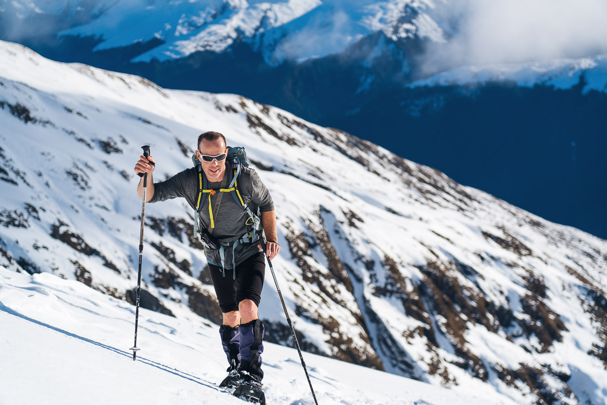
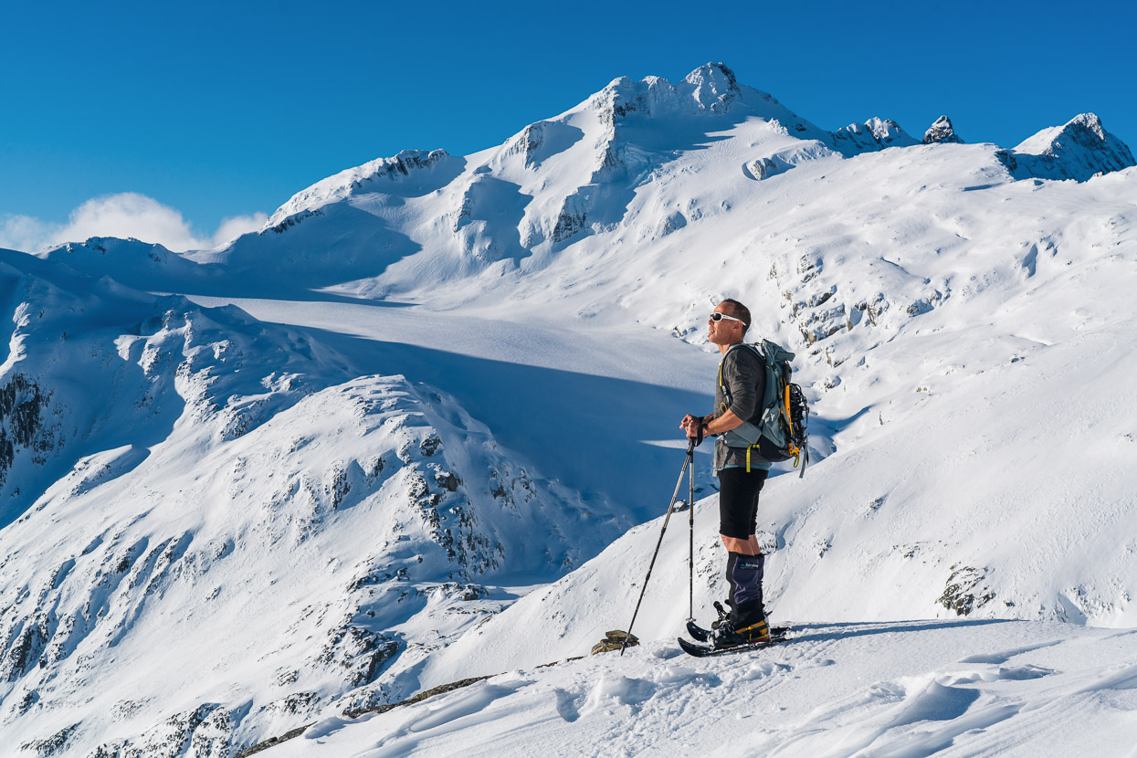
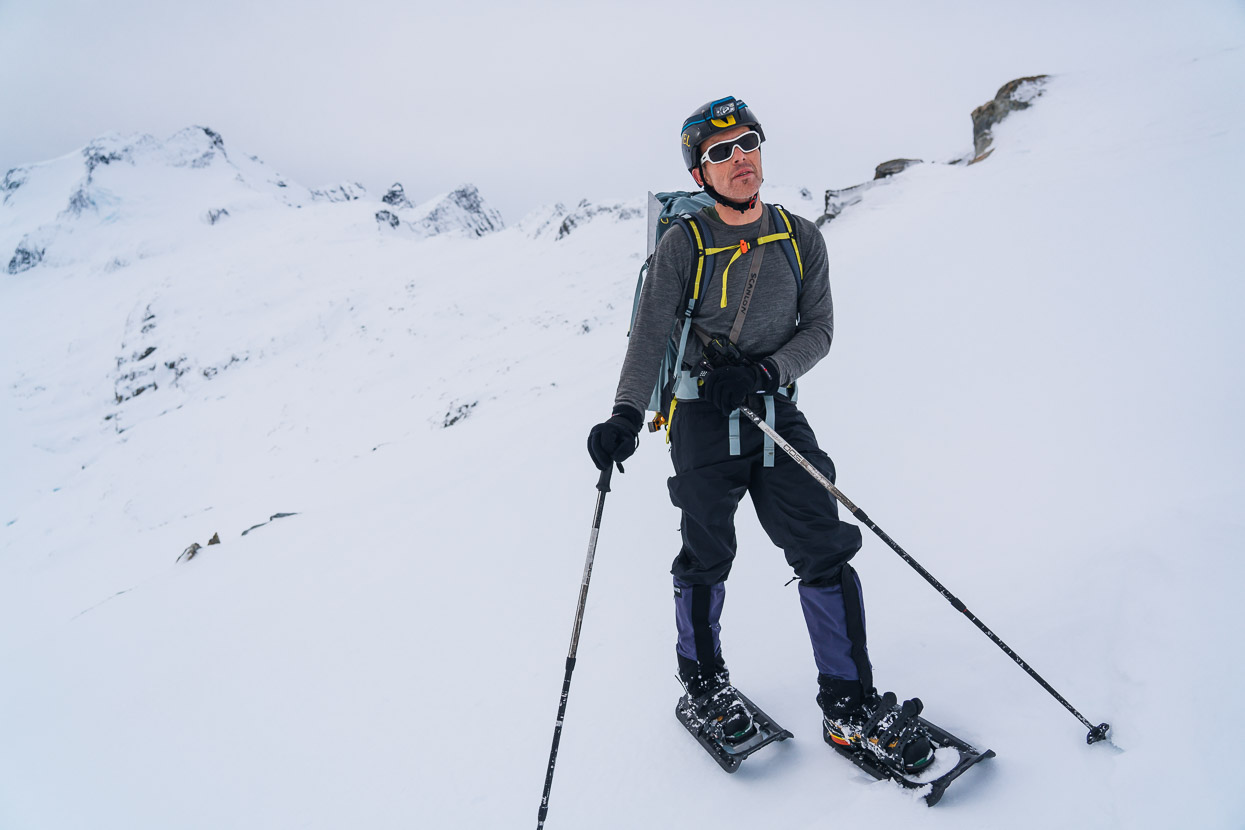
Although Kristen is a skier, I’m not, so snow shoes prove to be the next best thing for getting around on the winter snowpack. We’ve used them on a few trips now and they speed travel up a lot. I was using a pair of Tubbs ones and was very impressed with their built in crampons, which save you any transitions and provide a lot of security on ice unless it gets quite steep. Kristen’s MSR snowshoes were not quite so good on the hard ice, of which there was quite a lot, between patches of heavily wind affected snow.
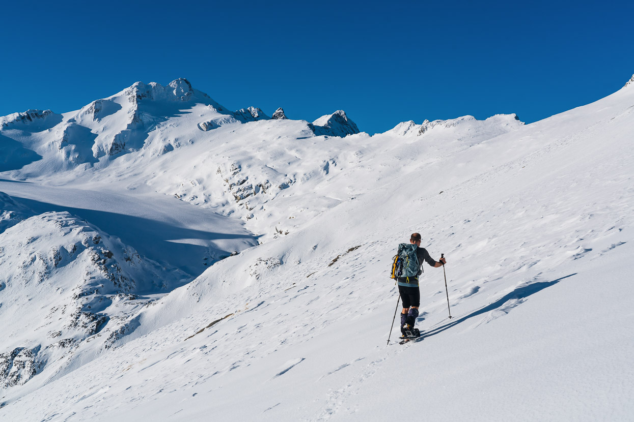
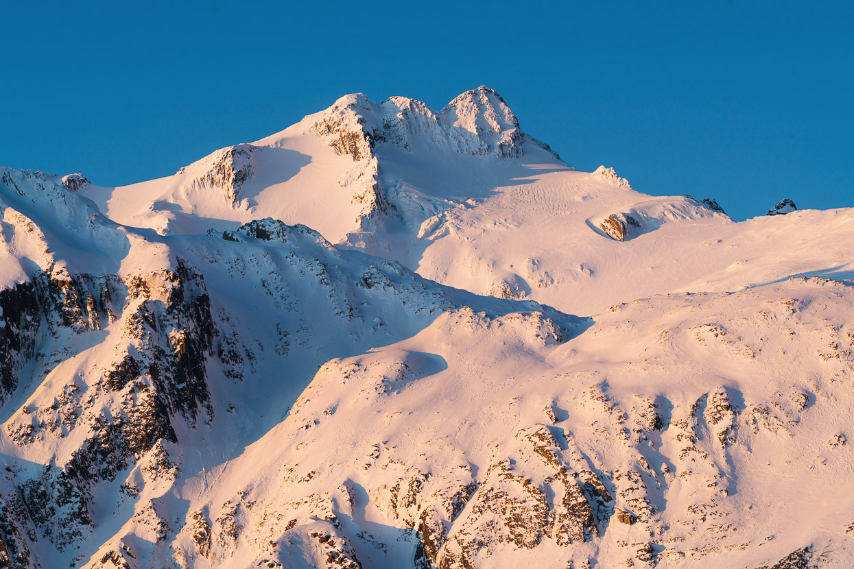
That’s Mt Brewster on the left, with the smooth, snow covered Brewster Glacier below. Our approach would sidle around the snow slopes from Kristen’s position staying lookers right of the glacier.
This was our turn around point, job done for the day and a good track in, and enough of a view of what we’d be up for in the dark the following morning. Our plan was to gain the east ridge (right hand skyline ridge) and follow that to the summit, bypassing the obvious cliff.
This was the first properly sunny day since the prolonged and large storm had battered the Southern Alps, dumping metres of snow, sending the avo hazard high and causing an historic sized avalanche at Aoraki Mount Cook. Although there had been no new snow for 48 hours, this sunny day gave things a further chance to settle and/or release – and release they did. We saw quite a substantial wet snow slough down a steep gully, and the following morning crossed some large debris fields from avos that had released this day also.
Shadows lengthened and the temperature was plunging as we headed back to the hut.
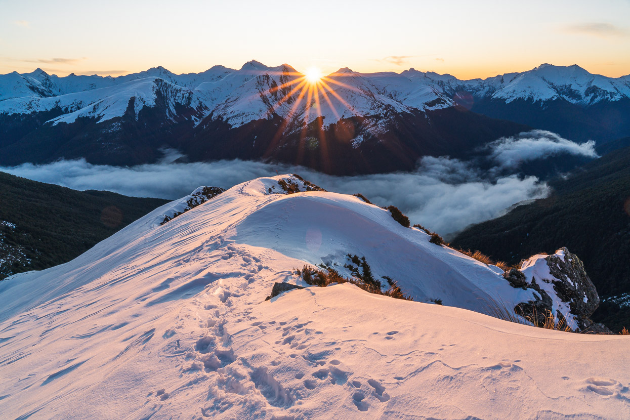
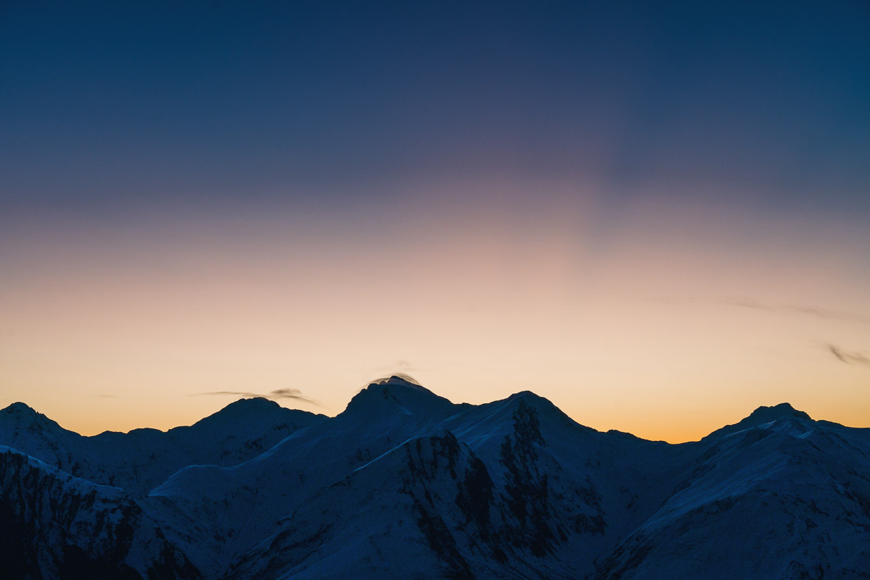
The light took a pastel tone as the sun lowered, while all was still.
And then it sunk behind the ridge. Time to drink, eat, and prepare for a 2am wake up.
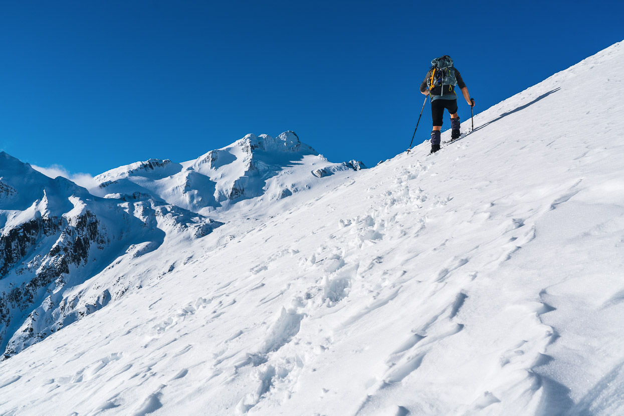
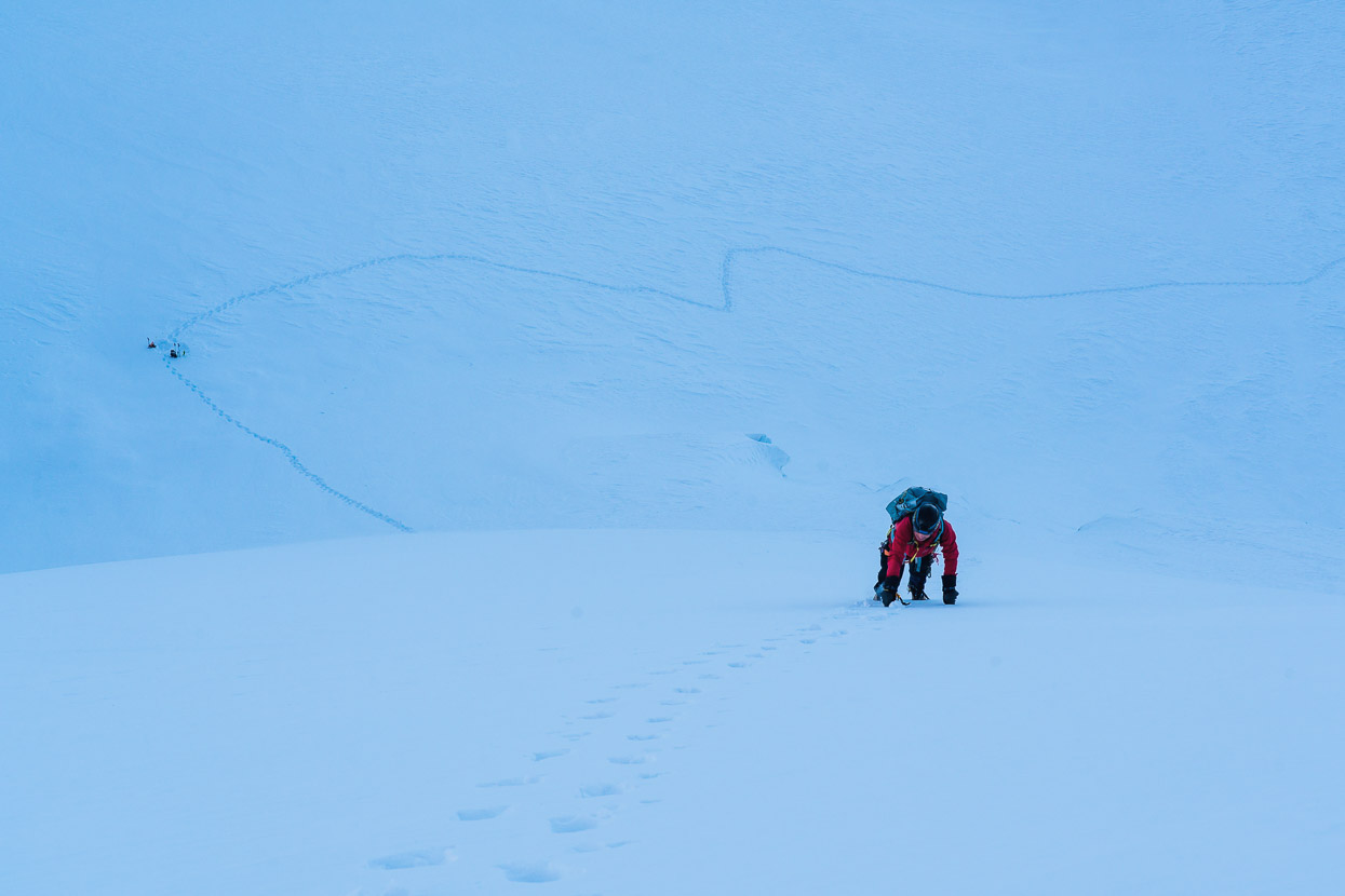
At 3am we were on the move, at first crunching up the boot pack we’d made in our crampons, then once past the steep sidle under Mt Armstrong’s bluff we switched to snowshoes and had them on for the rest of the approach.
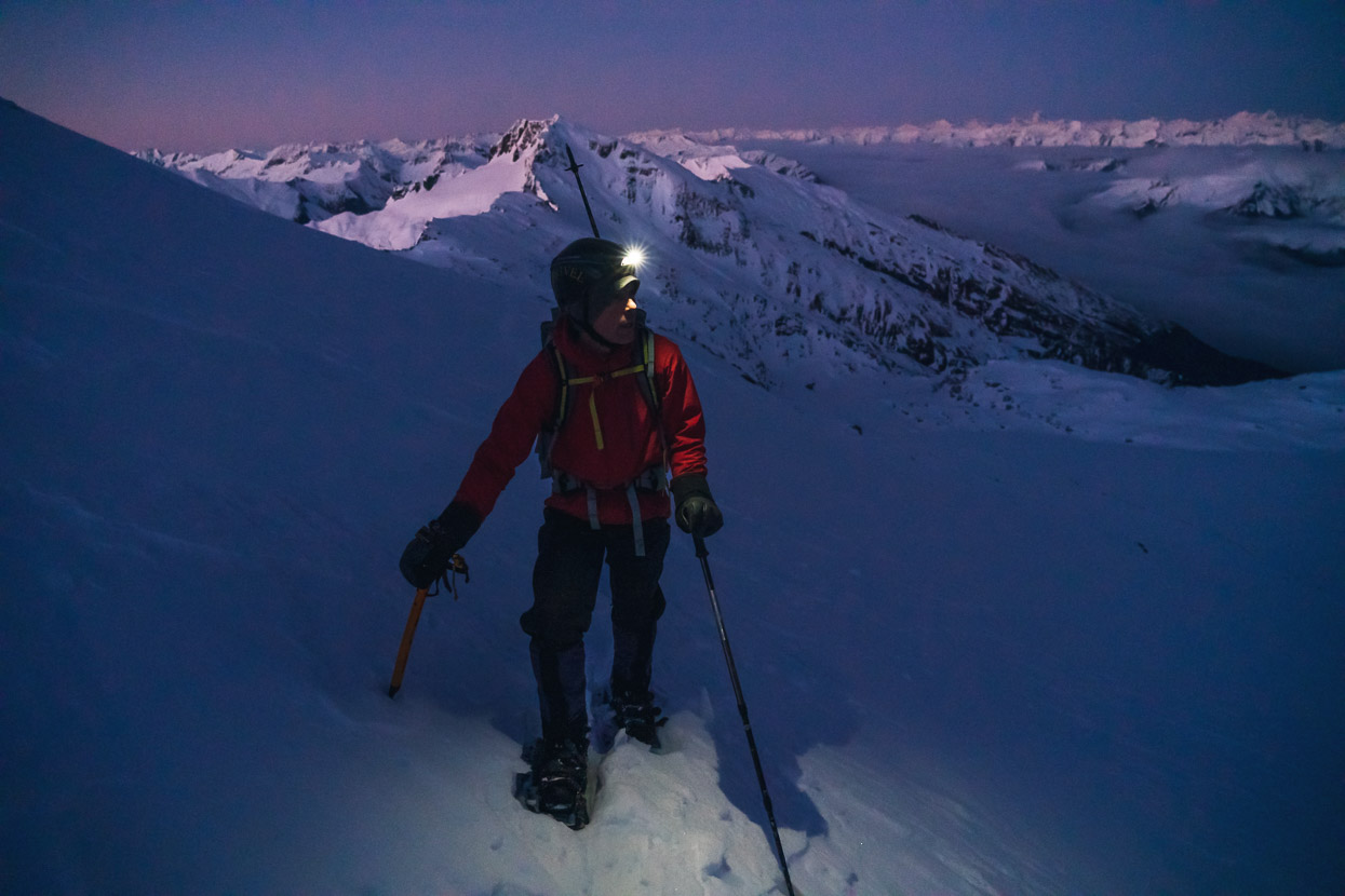
With sunrise not until around 8am, it was a long walk in the dark, with frequent checks of the map to make sure were following the contour lines that afforded the smoothest travel. Although windless, it was really cold and we both had our biggest alpine gloves on most of the way.
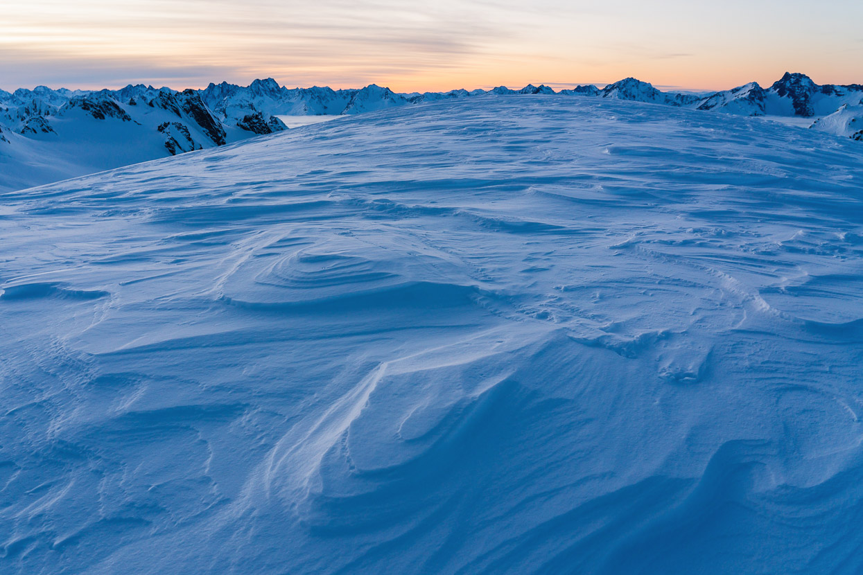
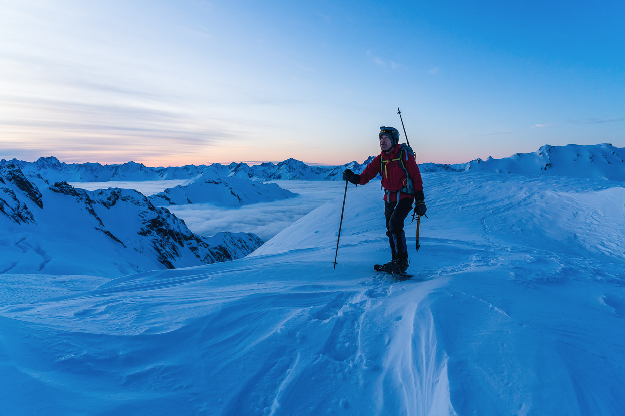
I’d been hoping for a spectacular play of light and some nice photography at dawn, but a slowly southbound tropical cyclone was over New Zealand already and beginning to affect us. The dawn sky looked ominous while the sun lazily shuffled behind layers of high cloud and barely made its presence felt for the rest of the day. At least we could switch off our head torches.
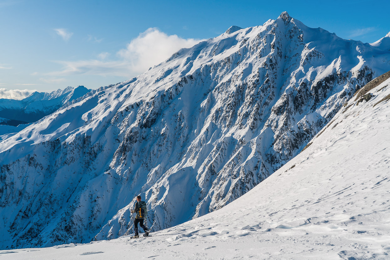
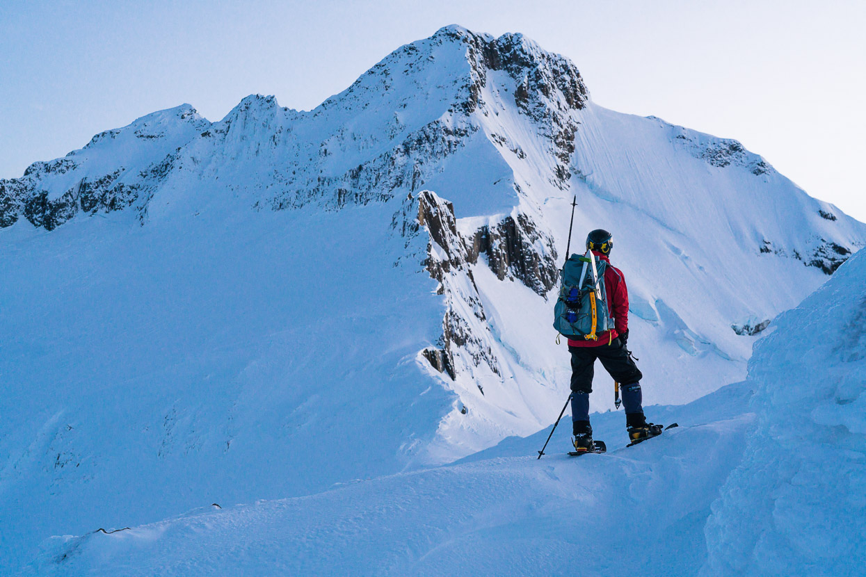
From where Kristen is we dropped into a basin and then climbed steep snow and ice slopes (just out of frame) to gain the skyline ridge.
Roughly 200 vertical metres below the summit and just before everything steepened up, we stashed our snow shoes, shovels and walking poles and headed for the summit. A really pleasant mix of firm snow and névé led us to the ridge. It was good to stop walking and start swinging tools.
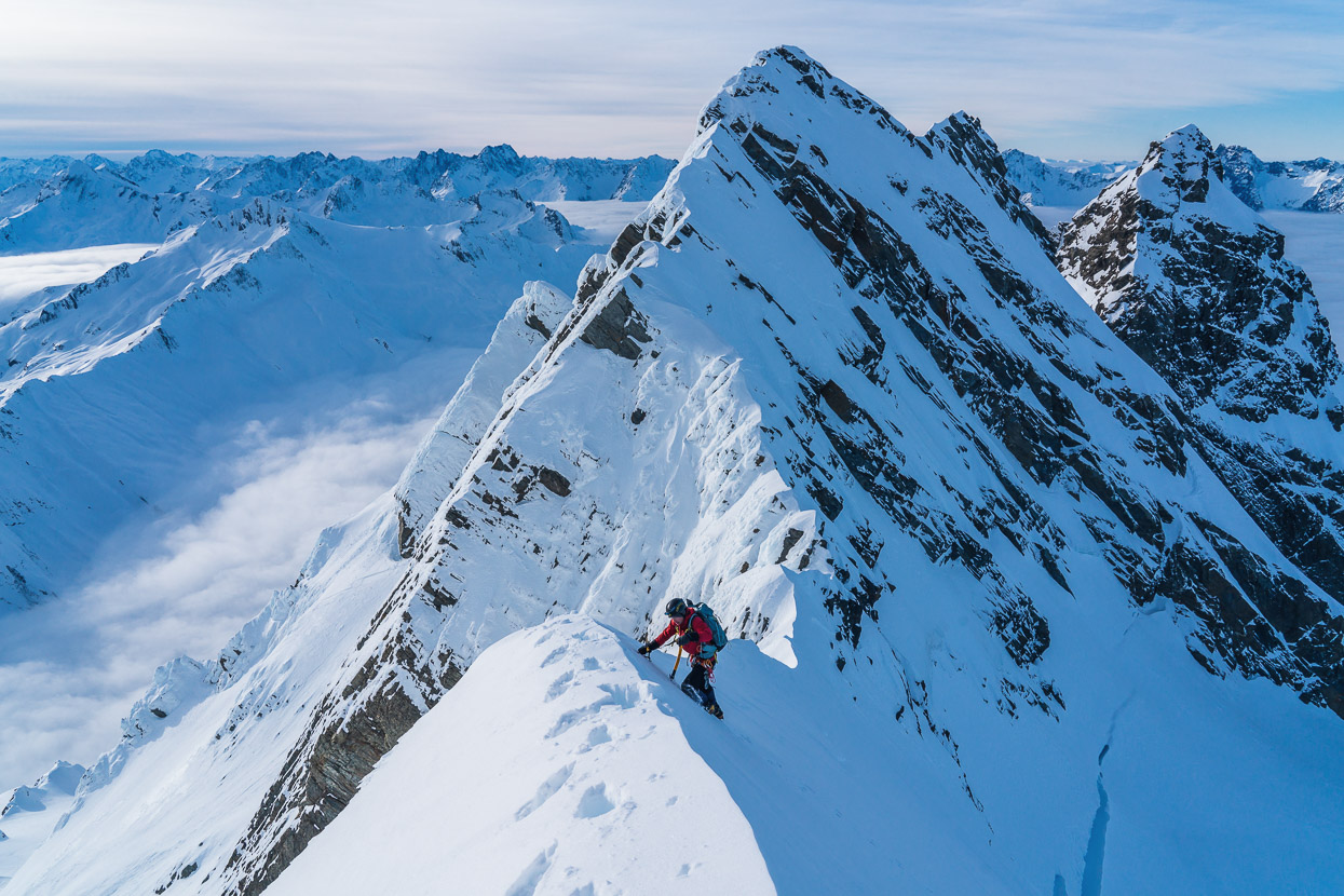
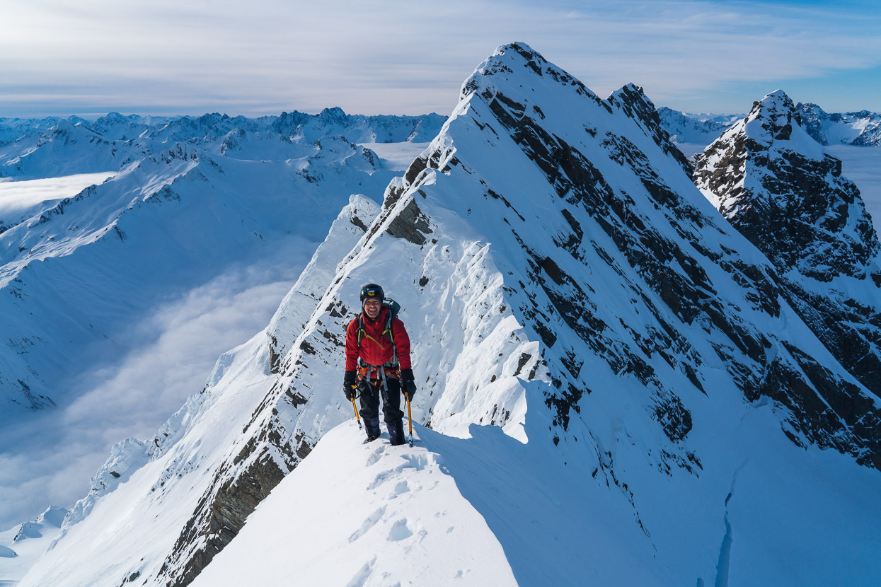
We met the ridge, and at the same time a void of exposure, as the slopes dropped away steeply down into the Wills Valley. It was suddenly exhilarating and the summit felt within reach. Brewster is a big mountain compared with those around it, and stands quite separate of other glaciated peaks, so the sense is that you’re very much higher than anything else in the vicinity – a bit like being on Mount Aspiring.
We climbed on further up the ridge until we reached a small but heavily rimed bluff, so we moved onto the south side of the ridge and pigeon-holed diagonally up very loose, deep snow. We kicked our boots and stabbed our tools into the snow trying to find purchase, and made slow progress.
About this point Kristen said he was uncomfortable with the snow conditions, and particularly reversing what we were climbing, especially if it stayed this way. I felt comfortable enough and confident to try for the summit, so we agreed (reluctantly on my part, as splitting a climbing party is not my ideal scenario) that Kristen would wait on a snow shelf below, while I’d continue alone.
After a bit more grovelling through deep snow the snow improved and I climbed straight up to ridge on good névé. On the ridge, travel was easy and close to the base of the summit cliff I could front point down thick rime ice to reach a shelf that I hoped would lead around the north side of the summit tower and give me access.
I post holed up deep snow on the shelf, looking for a gully lead that would get me onto the summit. The first one I tried got a bit too intimidating for me to solo, because it bottlenecked into a steep choke of rime ice. It didn’t look too bad to climb up, but I didn’t like the thought of down climbing it, so I climbed back down and tried further along.
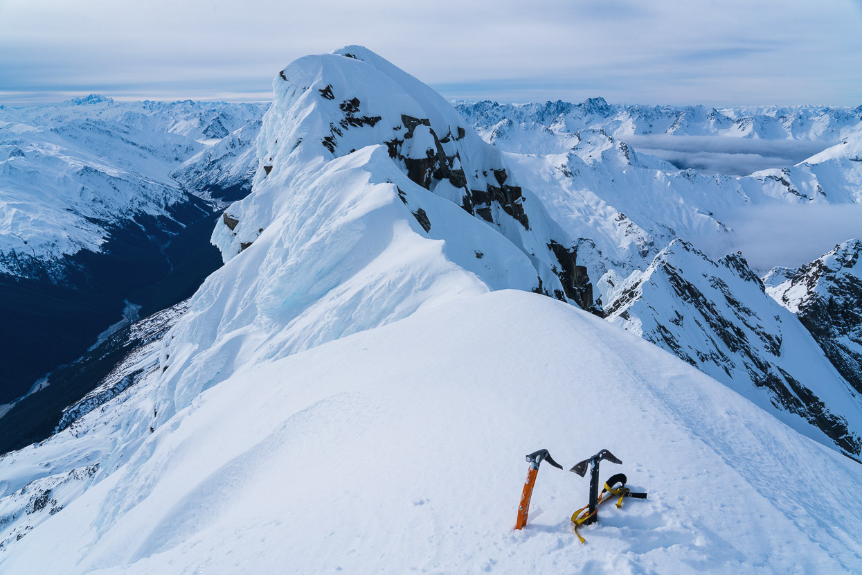
My search was fruitful and a shorter, less steep rime ice ramp gave me some great ice climbing up onto the ridge finally. I was stood on one of two summit ‘bumps’ but sadly on the lower of the two, and between me and the higher one lay about 30m of ridge that was corniced on one side and heavily rimed on the other. I wasn’t keen to solo across it (it would have been fine with a rope), so I called it a day where I was and soaked up the view for a few minutes. It was an amazing place to be – alone on the top of a peak, with a thick winter snow pack covering the Southern Alps in every direction. Despite not reaching the true summit, I was very happy to be there.
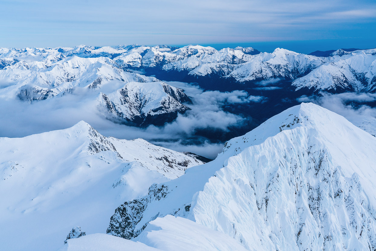
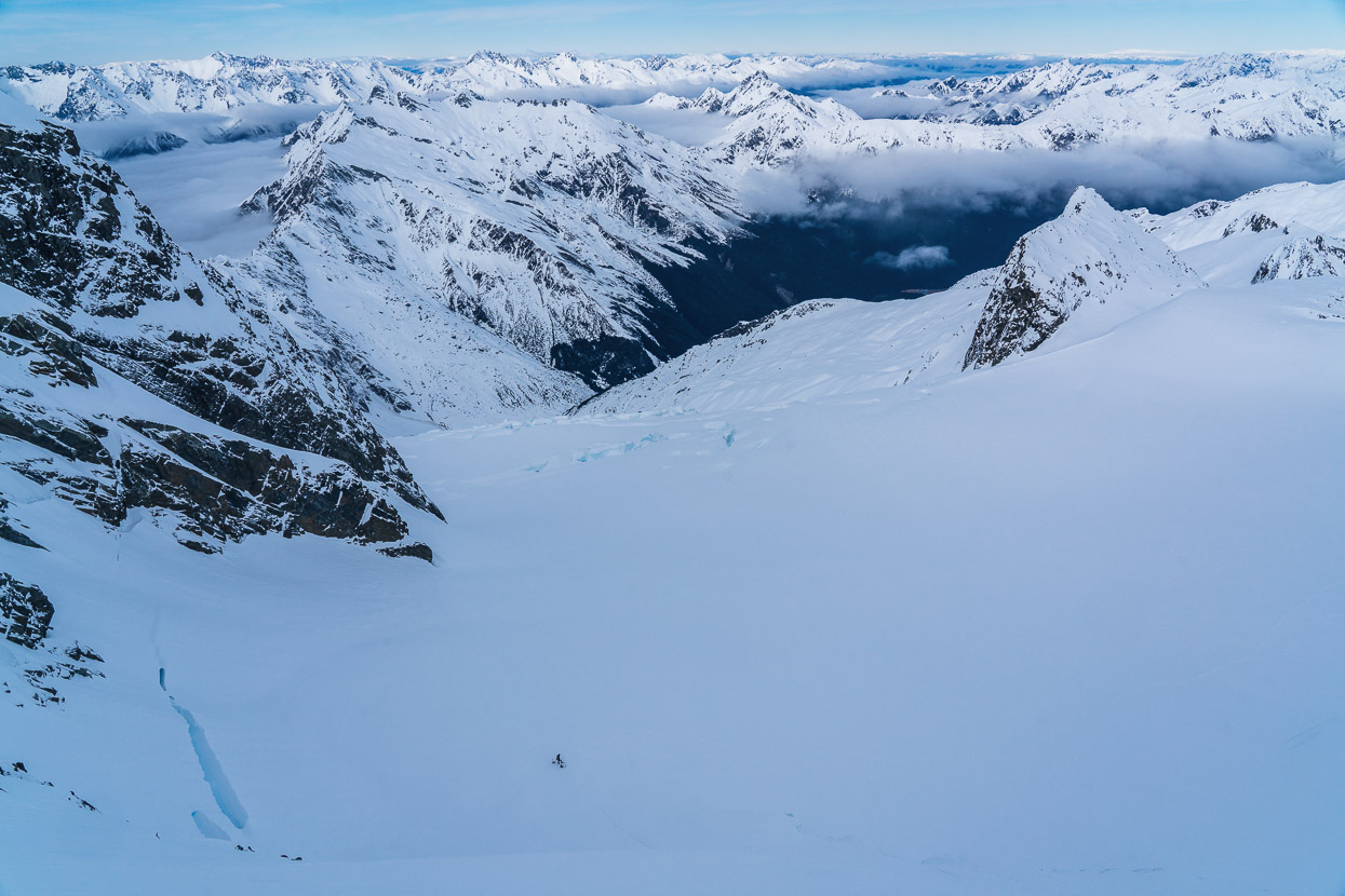
The view west from the low summit.
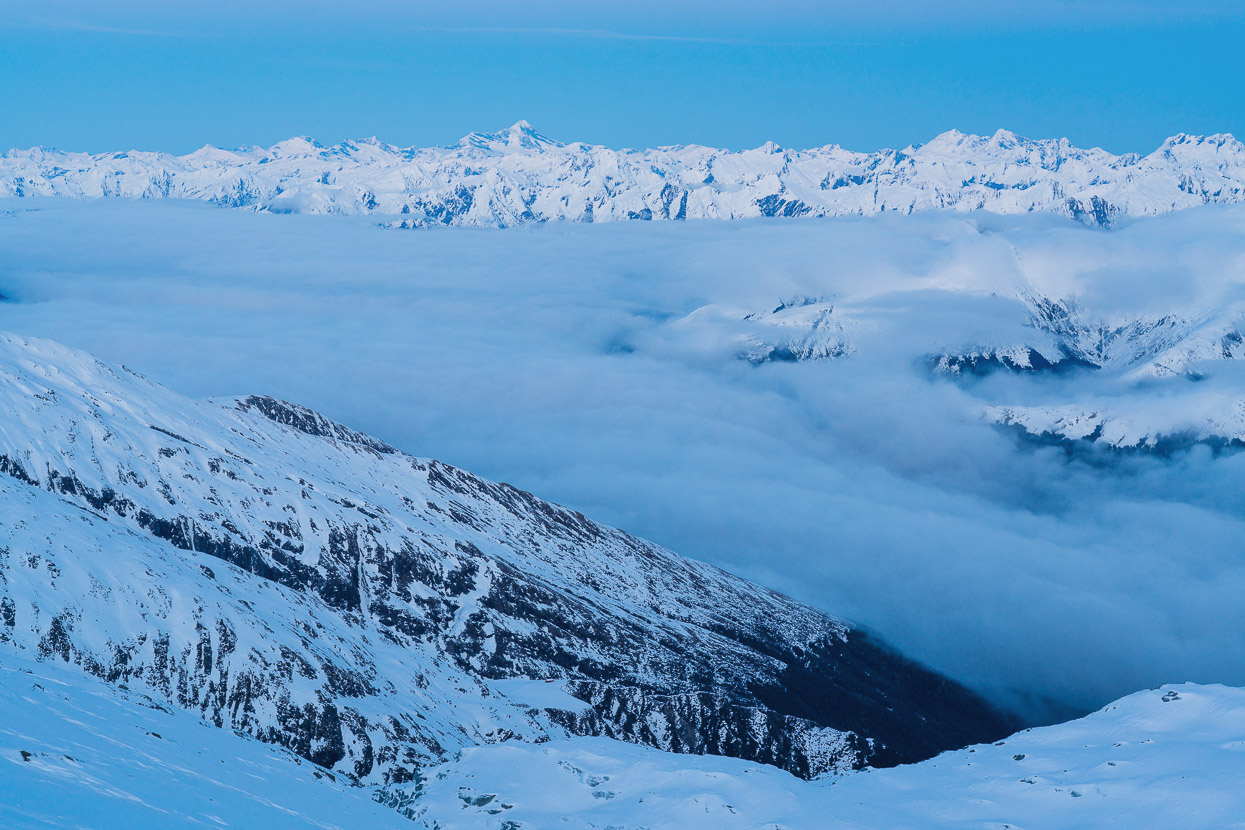
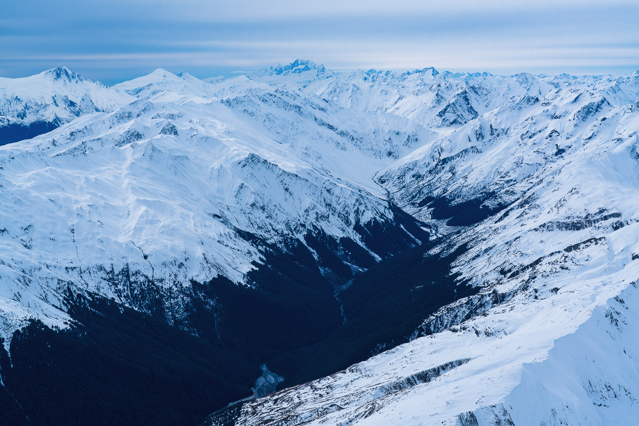
And north east into the Wills Valley. That’s Mount Hooker in the far distance.
After soaking up the view, I down climbed back to the shelf, back up onto the ridge and made my way back towards Kristen. He’d stopped on the snow shelf for a while and then began down climbing by himself and reached our cache shortly before I began climbing down the steep slope off the East Ridge.
That’s Kristen back at the cache in the photo.
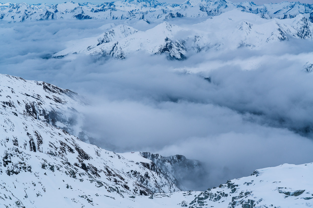
By this point the weather was clearly closing in. The sky had hazed thickly over and the inversion that had laid calmly all morning in the valleys was beginning to rise up and spill over the passes. You can just see the hut in this photo; below and left of centre on a snow shelf.
Daylight and downhill made the return to base a lot quicker that it had been on the way up, with the summit of Brewster about 1000m above the elevation of the hut.
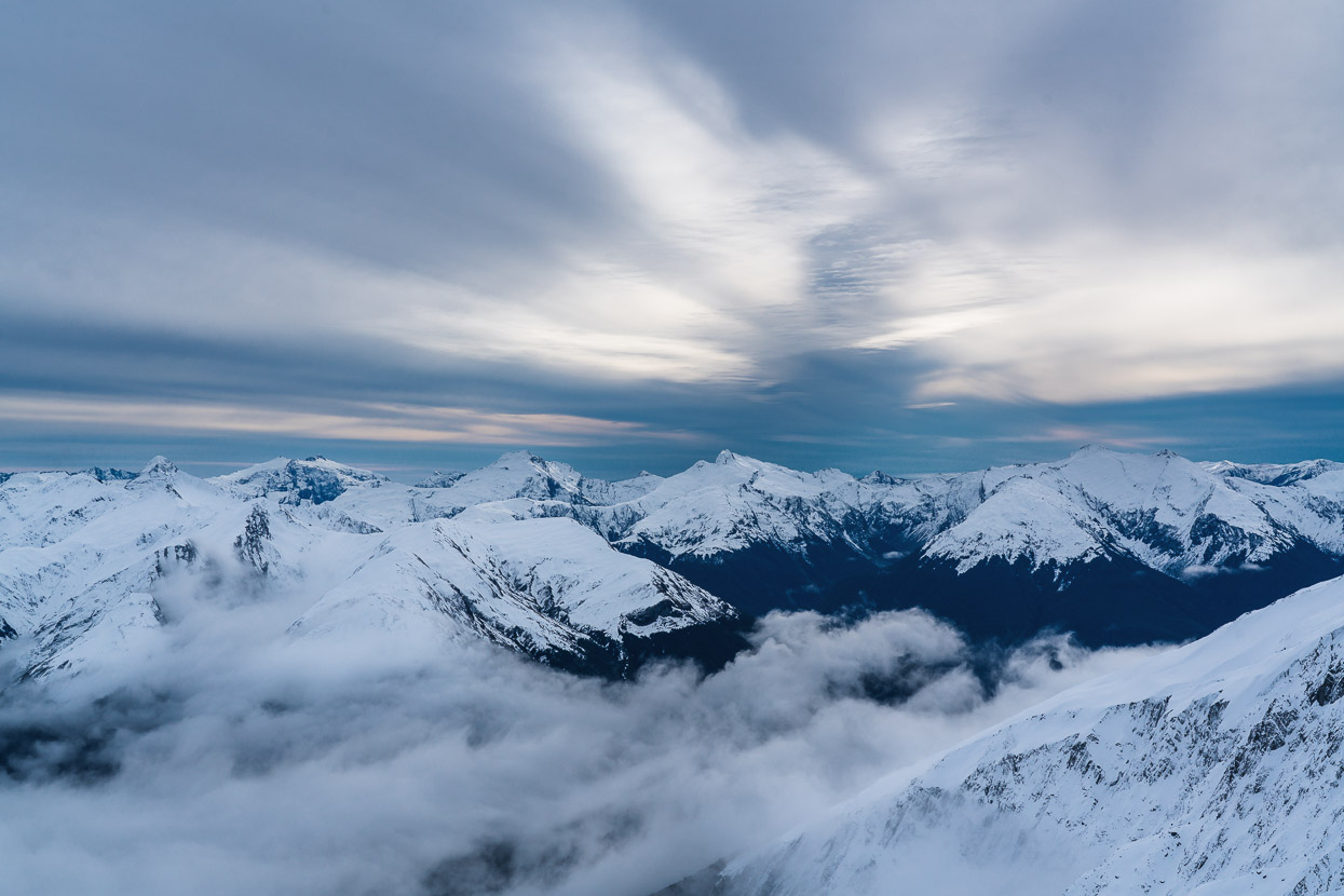
Looking north west from just above the hut. We got back to the hut shortly before dark, happy with the 14 hour day and glad to have had a clear enough day to go and have an adventure. By the time we went to sleep at 8pm it was snowing lightly and by morning 20cm of beautiful fresh snow had smoothed over our traces from the previous day.
It was still snowing lightly and windy when we left the hut, so it was with Gore-Tex and goggles that we made our way carefully down to the bushline. The new snow was threatening to slide off the old and we saw some long fracture lines just below where we were walking close to the ridge. Once in the bush we were out of the wind and had a really nice walk down through a monochrome forest of snow dusted trees.
By the bottom of the valley it was warm enough to turn the snow into rain, so we didn’t hesitate to get back over the river to the car, and a long drive back to Christchurch.
Say thanks with a one-off donation or a regular subscription
If you enjoy our content and find it informative or inspirational, you’re welcome to show us some love with a donation or subscription. The services we use to create our GPS tracks and host the site cost money, funds that we’d rather be spending on the road, creating bikepacking and tramping routes and content to share with you. Thanks for reading!



Fantastic Mark, what a recorder of adventure you are, superb pictures and story telling!!
Andrew Watts
Thank you Andrew! I hope all is well and you’re enjoying your new bike.
Great trip, looks fantastic up there Mark.
Great pics Mark, looks so different in winter.
Climbed Brewster in Summer 2001 but also didn’t go to the summit due to the rock conditions at the time.
Great Trip
Just rediscovered your website post COVID, great to see you back in the saddle in South America.
Stay Safe
Regards
Thanks Peter – yes we’re having a fantastic time back on the road. Patagonia is certainly delivering the landscapes and experiences so far, although it does take a bit of effort to get off tourist trail.
Cheers, Mark.