| Springtime: South |
This post rewinds the clock a few months: back to late September when we finally departed Tauranga by bike to begin our relocation to Lyttelton in the South Island of New Zealand. We’d been in Tauranga six months, staying with Hana’s parents after repatriating back to NZ when the world first started to go Covid crazy.
South Island’s Canterbury region has been our New Zealand base for over twenty years. It’s the place where we’ve grown the deepest roots; where most of our closest friends are and where the climate and landscape feel more familiar than anywhere else on earth. It’s home, and we were looking forward to seeing it again. Although Tauranga had been a great, albeit unexpected, base for us for a few months, it had been home-but-not-home if you know what I mean.
Hana’s parents Noeline and Russell had extended us some amazing generosity and support to make our unexpected return easier. But by the time spring came around we’d had enough of the kiwifruit industry and long hours at the computer. It was time to move south by bike. In the process we’d get some base miles in the legs, revisit some corners of NZ we hadn’t seen for 30-odd years, catch up with some friends, and explore some new spots on the way.
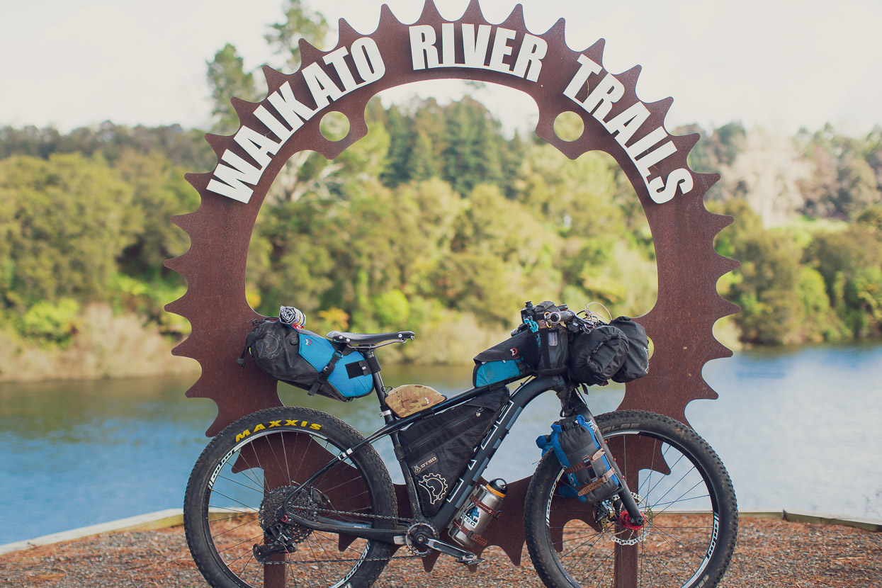
Our actual route from Tauranga to Wellington (part 1) is included at the end of this post, but in summary included some Tour Aotearoa route (Waikato River Trail – Timber Trail – Taumaranui), a mish-mash of Kopiko, Forgotten World Highway + Alternative with a detour to check out the Bridge to Somewhere, a sneak through the Manawatu Gorge and then part of the Number Eight Wired route, before rejoining TA via the Remutaka Incline and Hutt River Cycleway.
The Kaimai Ranges provide an obstacle for any cyclist heading west or southwest from Tauranga and we looked at a few options to avoid the busy main road that crosses the range over to Matamata. In the end we abandoned plans for an epic looking hike-a-bike (seeing as it was Day 1!) and tried a promising looking gravel and 4WD route that headed more south. This was foiled by a massive dairy farm who prohibit all access, so in the end we did grind our way over the busy main road.
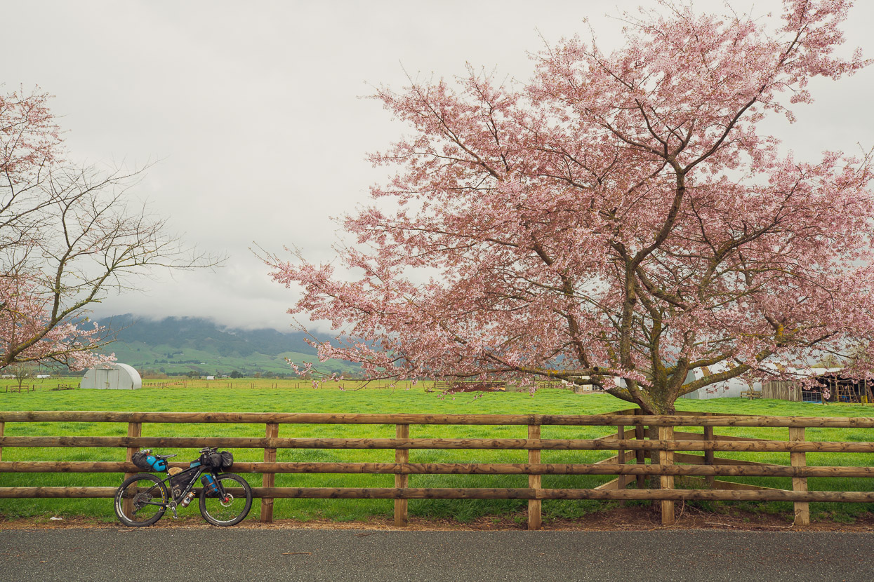
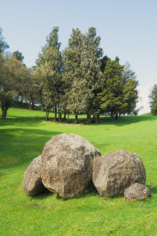
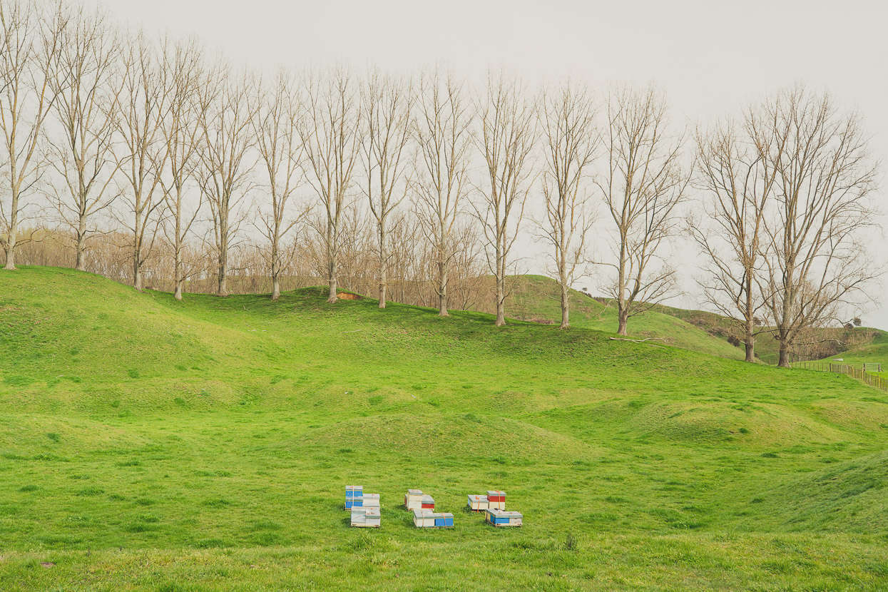
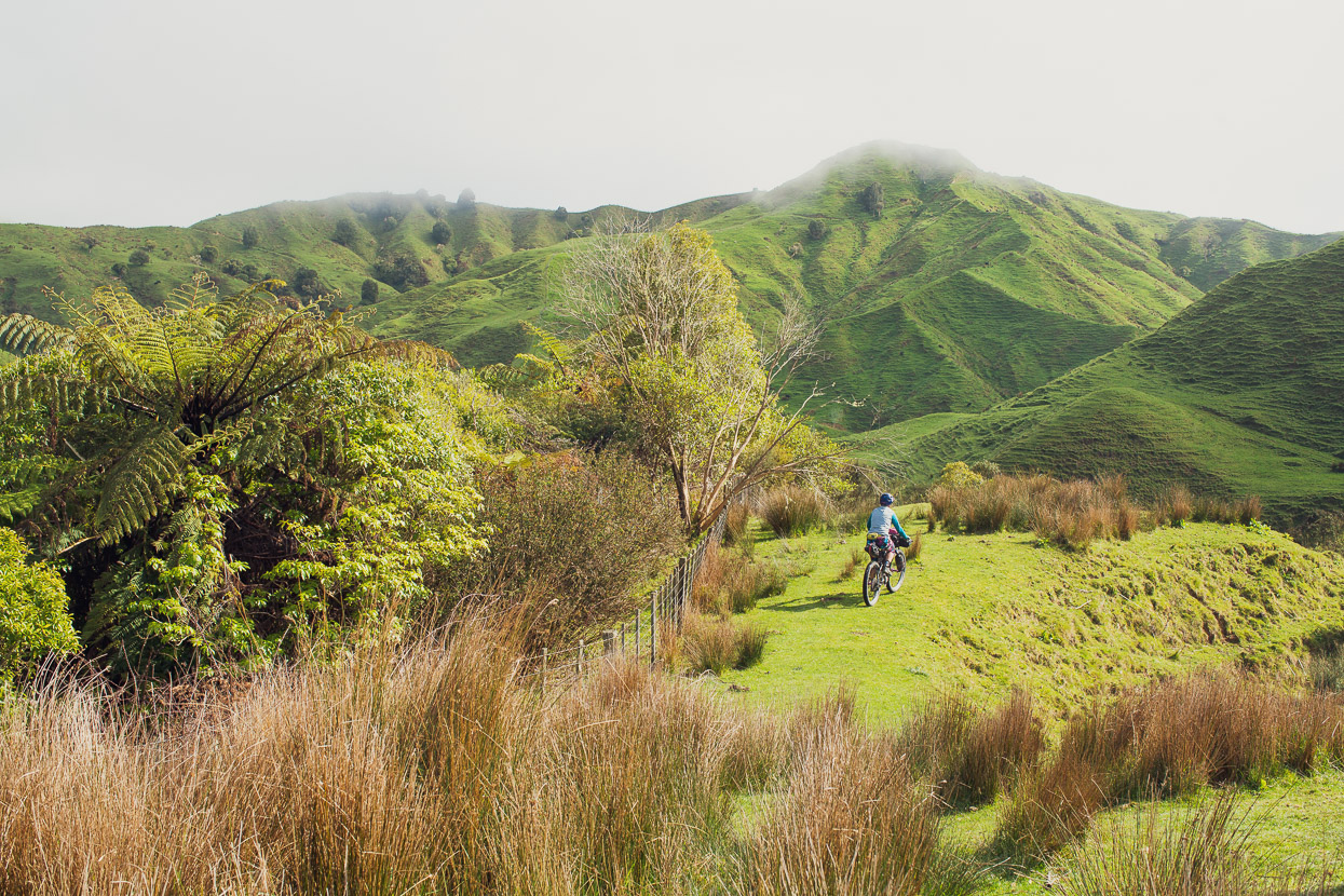
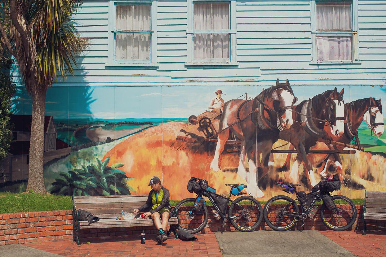
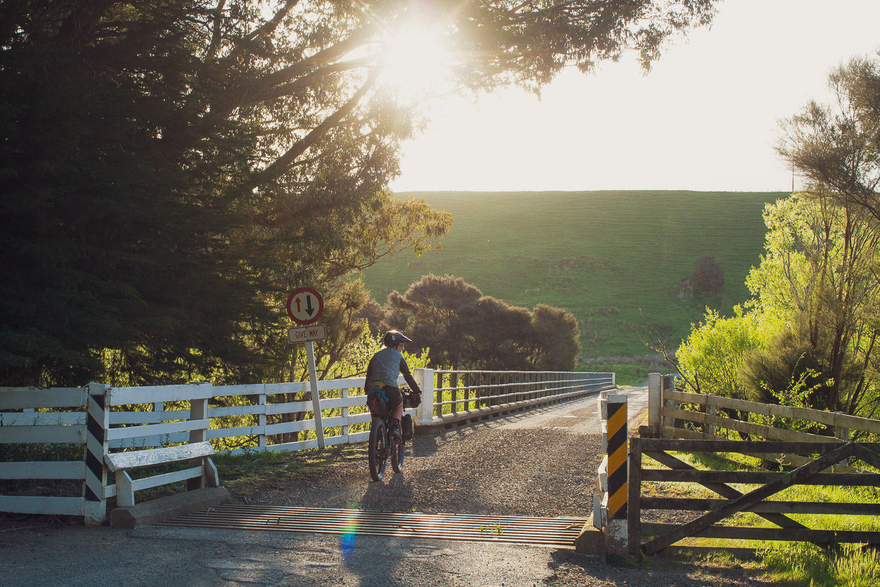
Once over in the lush Waikato landscape surrounding Matamata, spring was in full swing. We joined the Tour Aotearoa route there and followed that right through to Taumaranui.
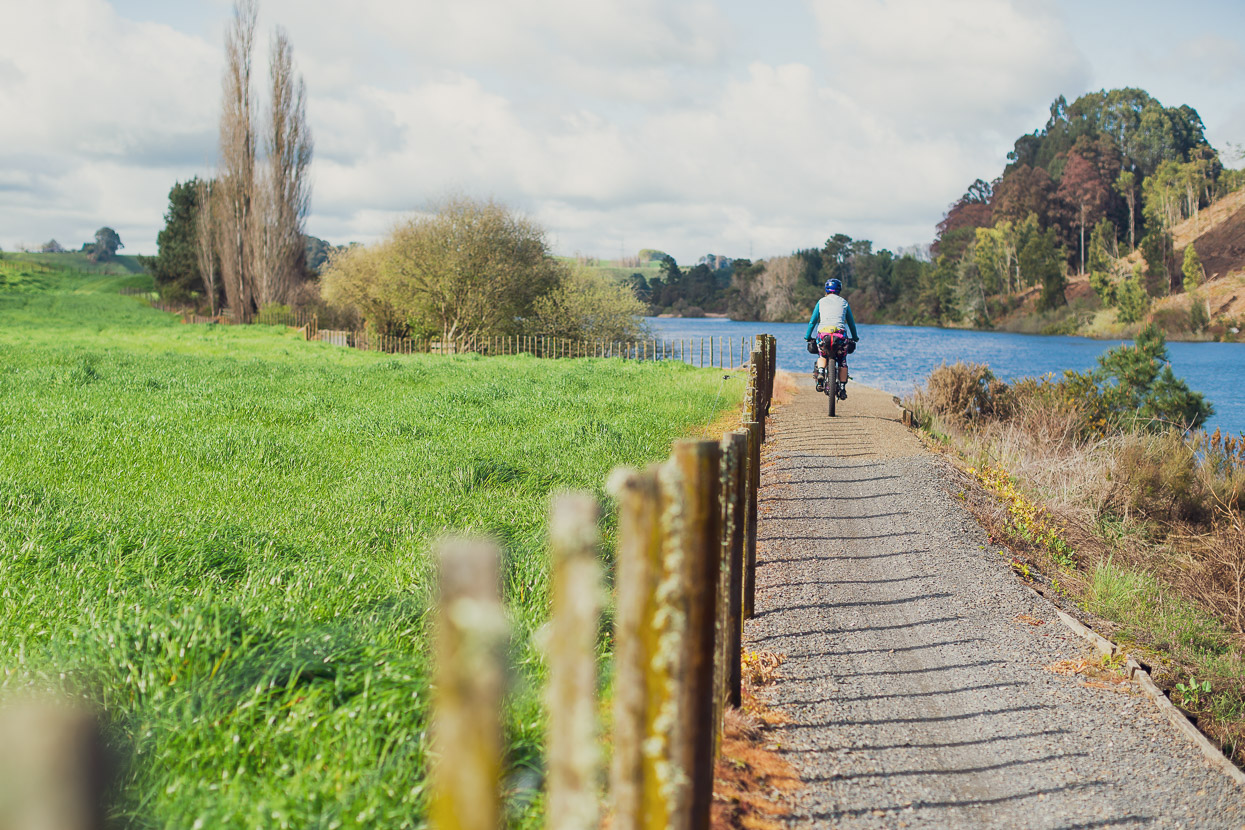
Hana rode the inaugural Tour Aotearoa length-of-NZ brevet back in early 2016, so there was some familiar territory for her as we followed the creative link up of quiet rural roads and Waikato River Trail on day two through to Mangakino. The weather was very unsettled, with frequent rain, and we didn’t get a decent clear day until we were 10 days into the ride.
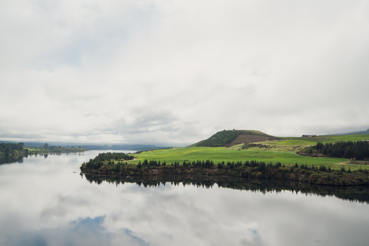
The ride along the Waikato River Trail and then towards Pureora and the Timber Trail enters the heartland of the Taupo Volcanic Zone, which the Waikato River slices through on its journey to the sea from its origin in the volcanic caldera of Lake Taupo. It’s a rural region typified by small towns and extensive cattle and sheep farming. Volcanic outcrops and pockets of old growth and regenerating native bush give the landscape a rugged feel with a sometimes unpredictable topography.
Soon after Mangakino we turned away from the Waikato River and began the long gradual climb on paved and dirt roads towards the old logging settlement of Pureora, on the edge of the Hauhungaroa Range.
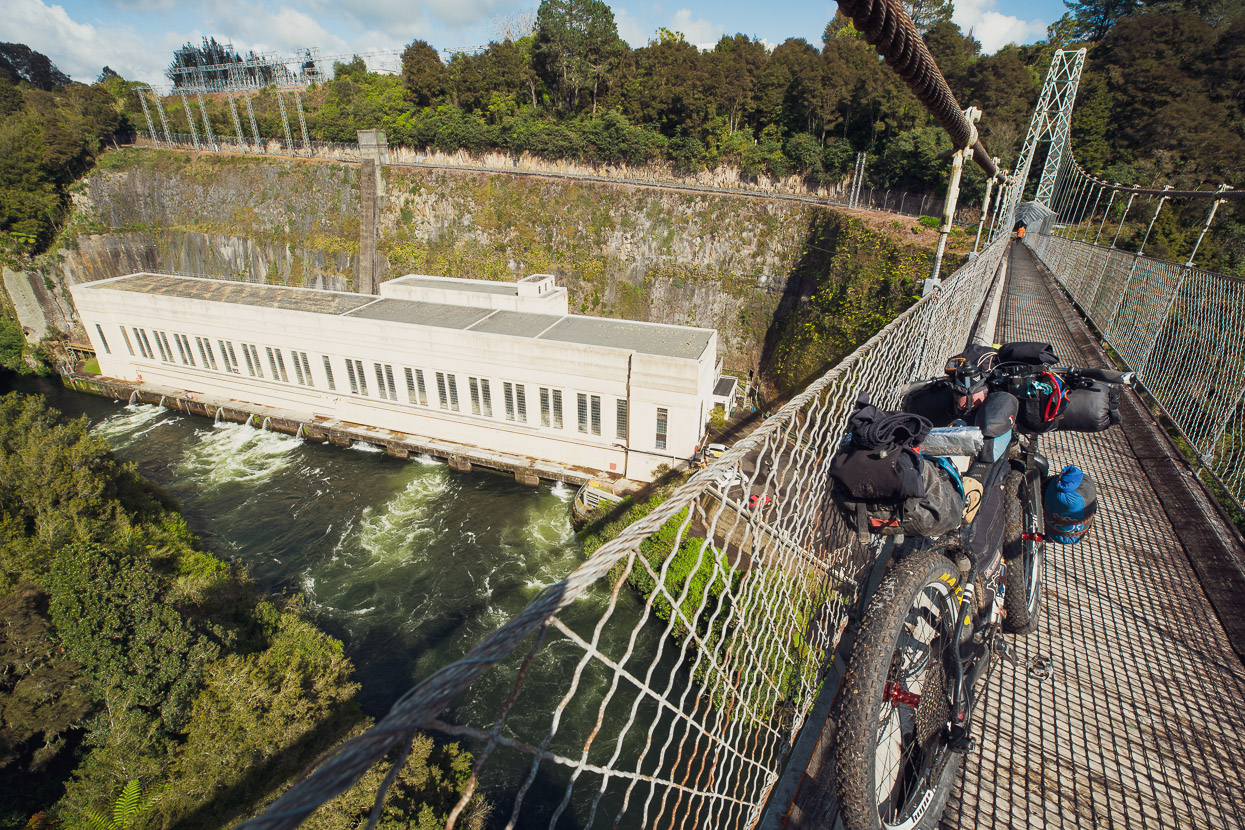
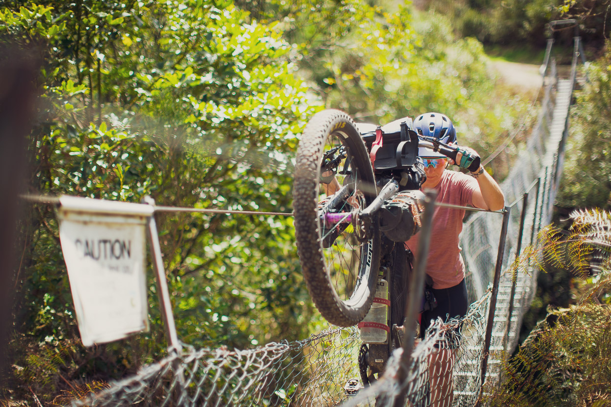
One of Tour Aotearoa’s feared obstacles: the classic kiwi ‘swingbridge’. This one has to be crossed to gain dirt roads leading into Pureora Forest Park.
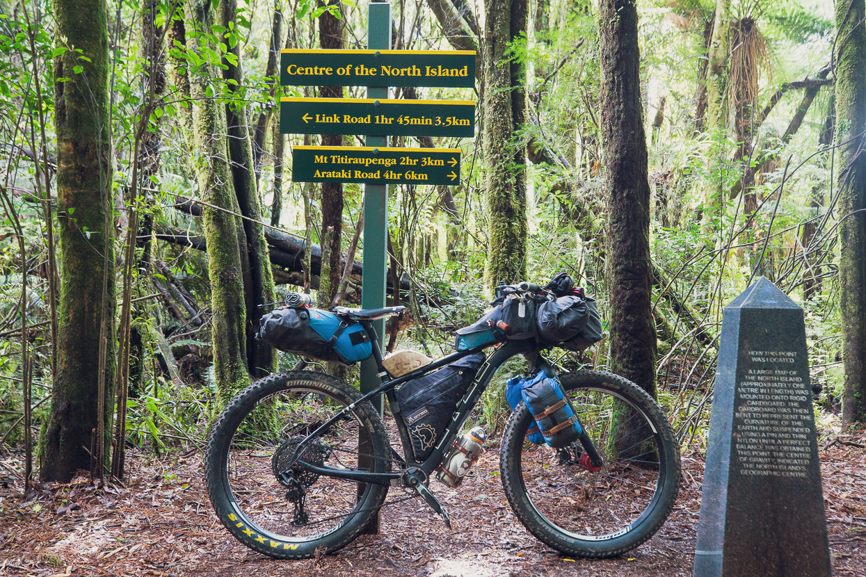
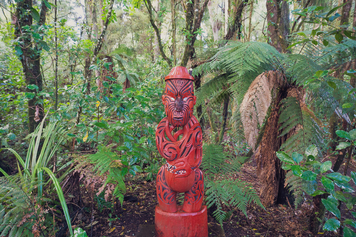
The road into the park’s interior is notable not only for the immense old growth podocarp forest it passes through, but also that it takes you very close to the North Island’s geographic centre, accessed with a short detour on dirt road and singletrack.
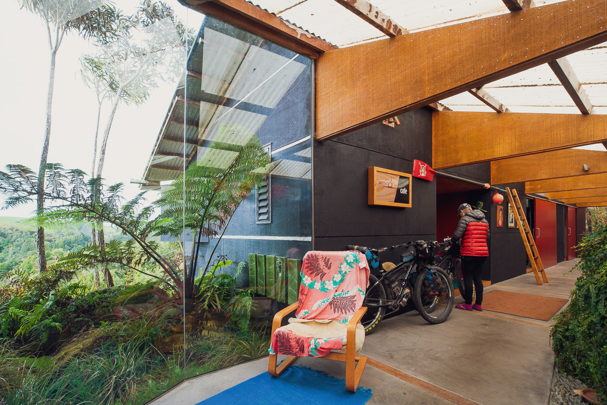
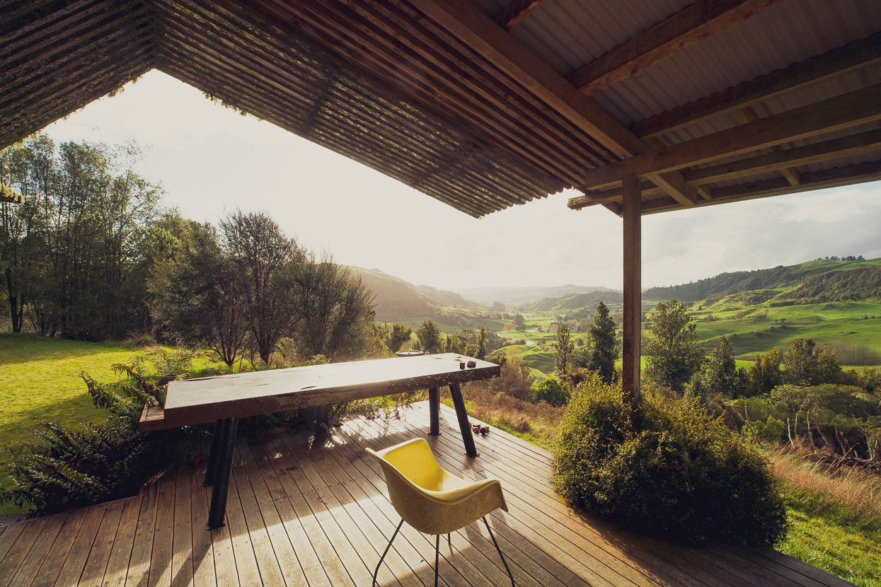
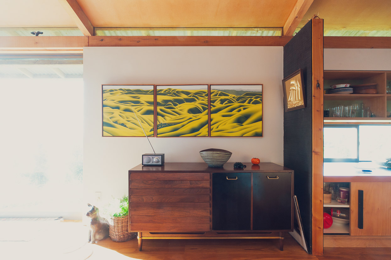
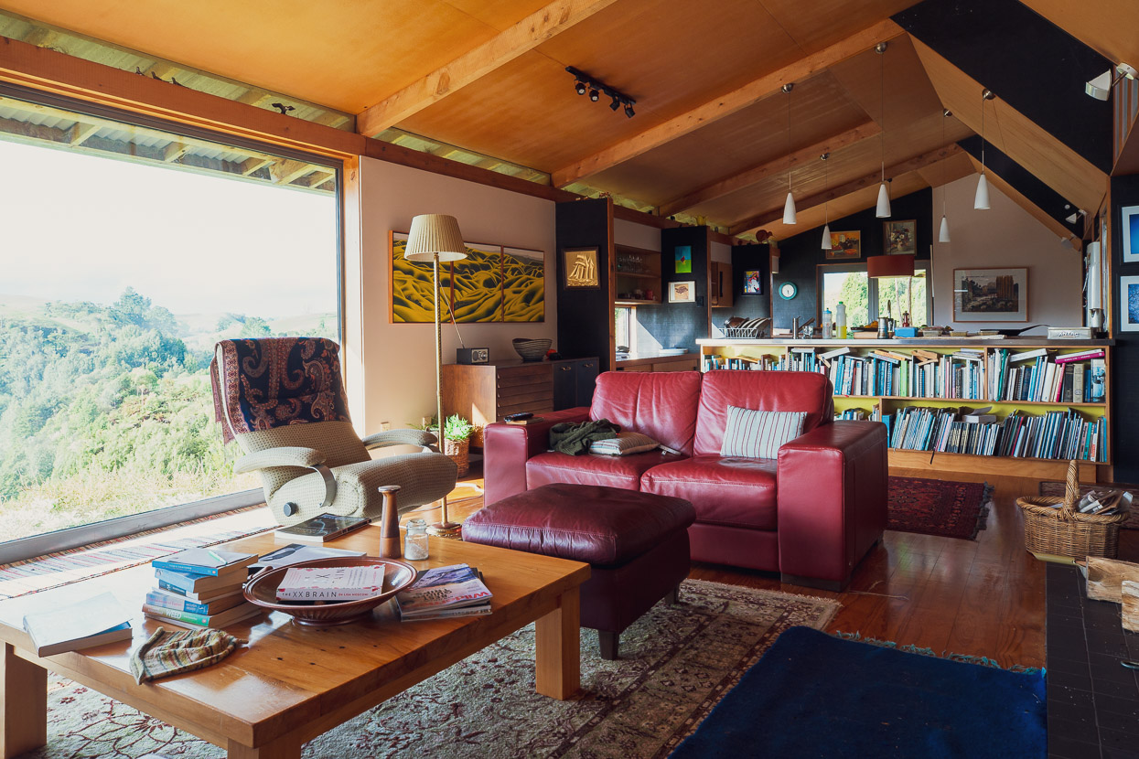
We were met at Pureora by cyclist and podcaster Bruce Maunsell who had offered to take us in for a couple of nights to wait out an incoming rainstorm. Bruce had recently interviewed me for the Pedal on Podcast which he runs with a couple of other hosts. He and his wife Melanie live in an amazing hillside location overlooking typical ‘King Country’ in the Waikato. Their house very sucessfully combines some of the design and functional elements you’d expect of tramping huts with a modern architectural approach and made a great place to hang out for a day. Bruce was also registered to paticipate in February’s Tour Te Waipounamu ultra race, so we spent a lot of time discussing equipment and preparation.
We were also met there by our old friend Jamie Nicoll, who we used to ride and race with back in the Wellington MTB scene in the 1990s. Jamie is an all round bike adventurer these days and in recent years has enjoyed a lot of success on the international enduro circuit. More recently he’s been on back to back missions exploring the NZ backcountry for mountain biking opportunities. Jamie was going to join us on the Timber Trail for a couple of days.
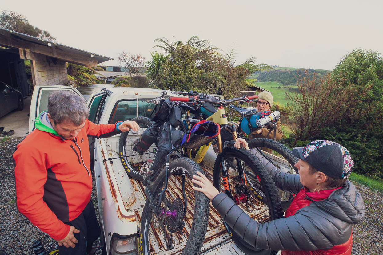
With a pause in the rain, we loaded the bikes, Bolivian-style, onto Bruce’s truck and headed back to Pureora early one morning.
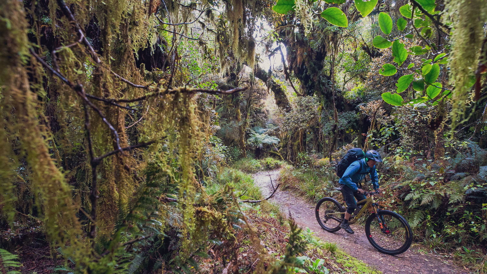
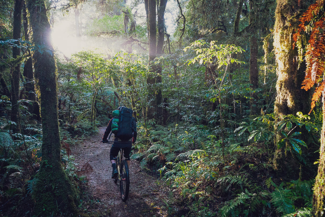
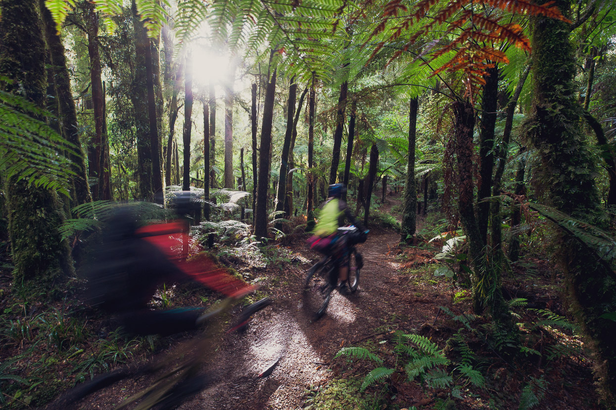
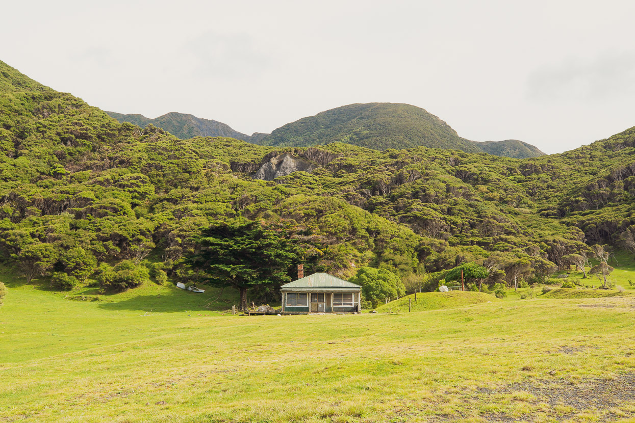
One of the nice things about the Timber Trail is there’s no preamble; it’s straight into some remarkable forest. For us it was dripping wet after a day of heavy rain (with more forecast) but it was good to get going.
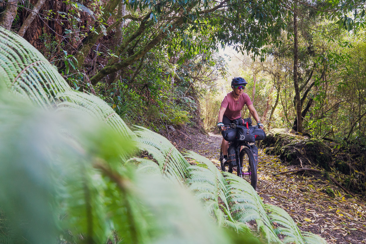
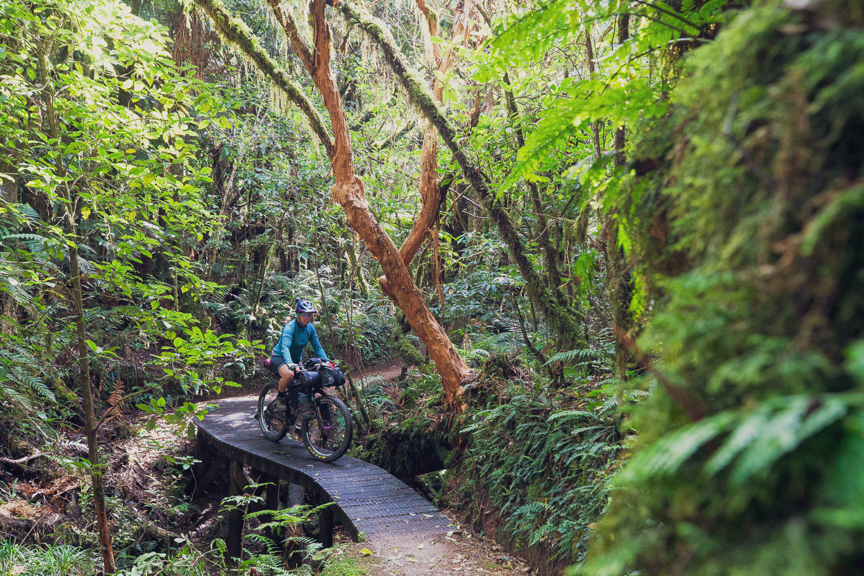
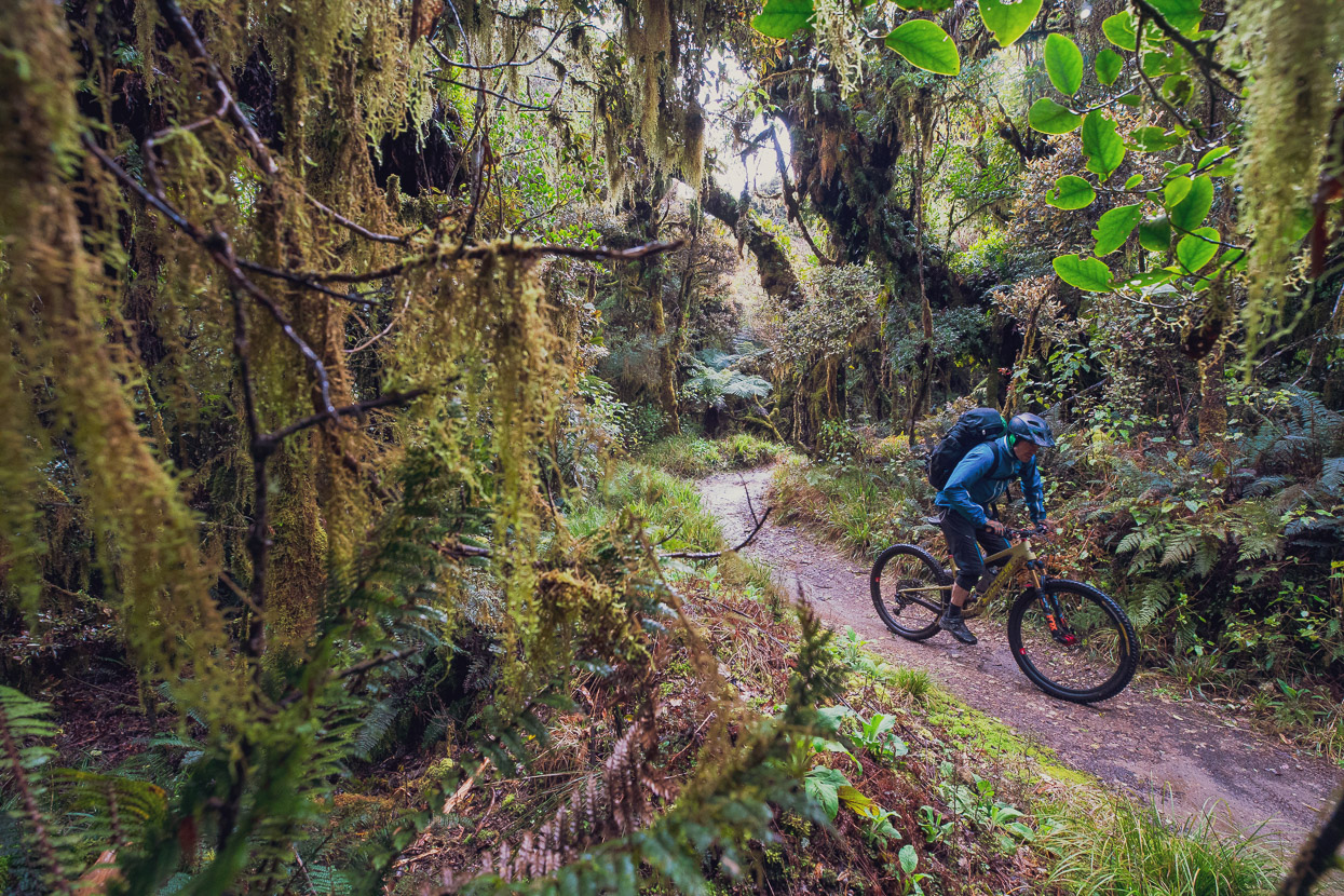
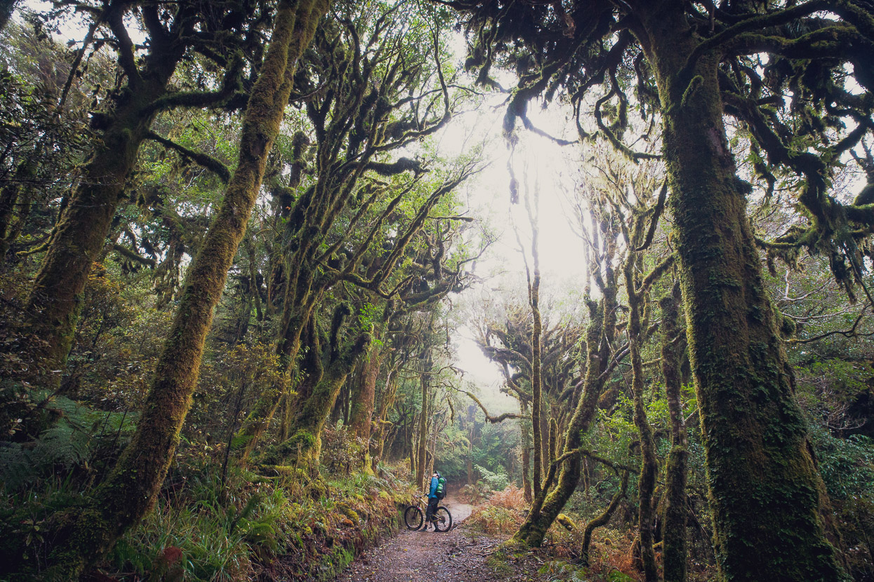
The route climbs steadily, but gently into the montane zone, where totara trees form gnarled, moss covered shapes. It’s an enchanting and beautiful place, with a thick understory of ferns and horopito. The temps were cold at 1000m and we layered up with warmer clothes and gloves.
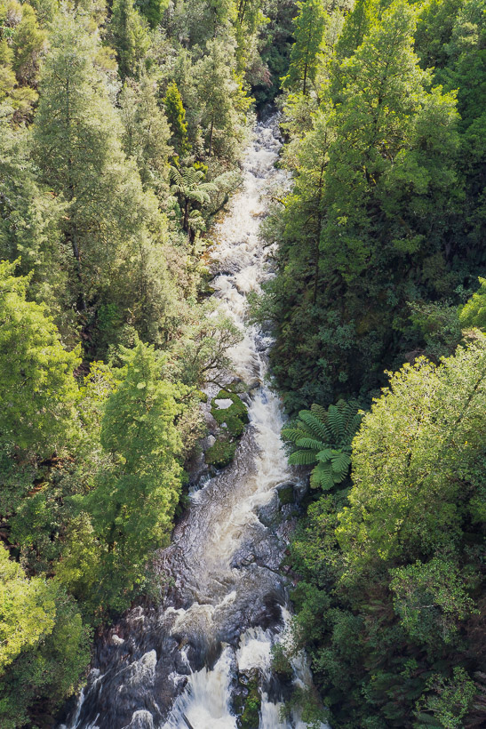
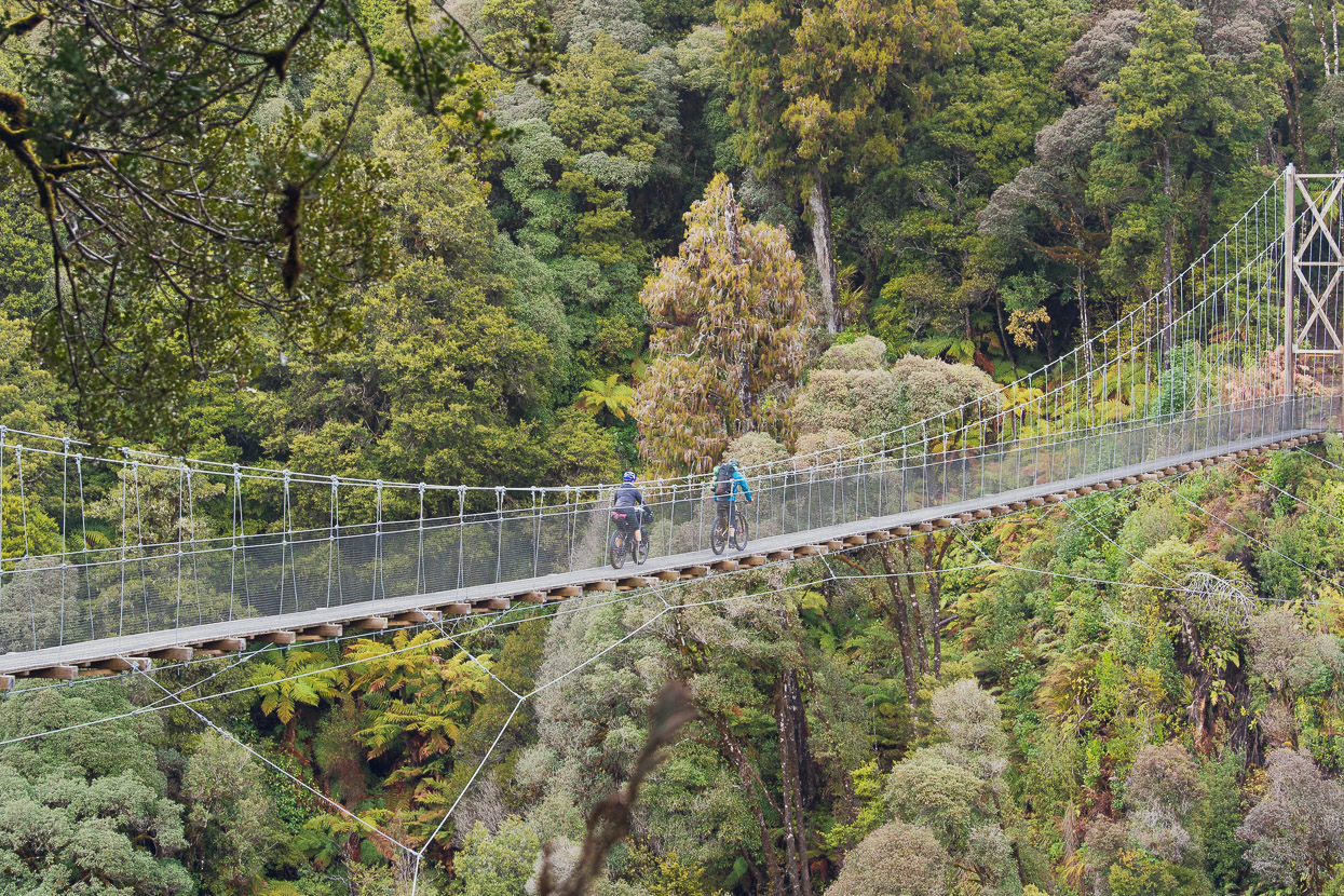
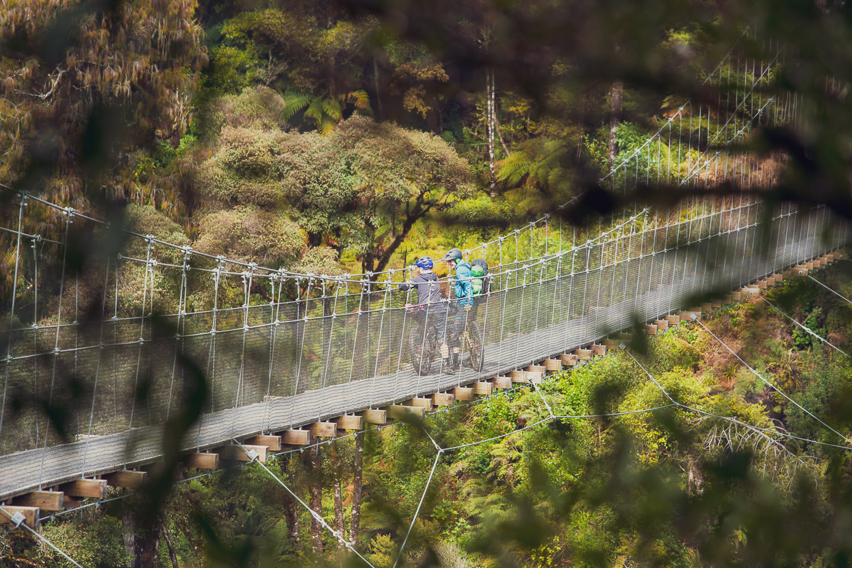
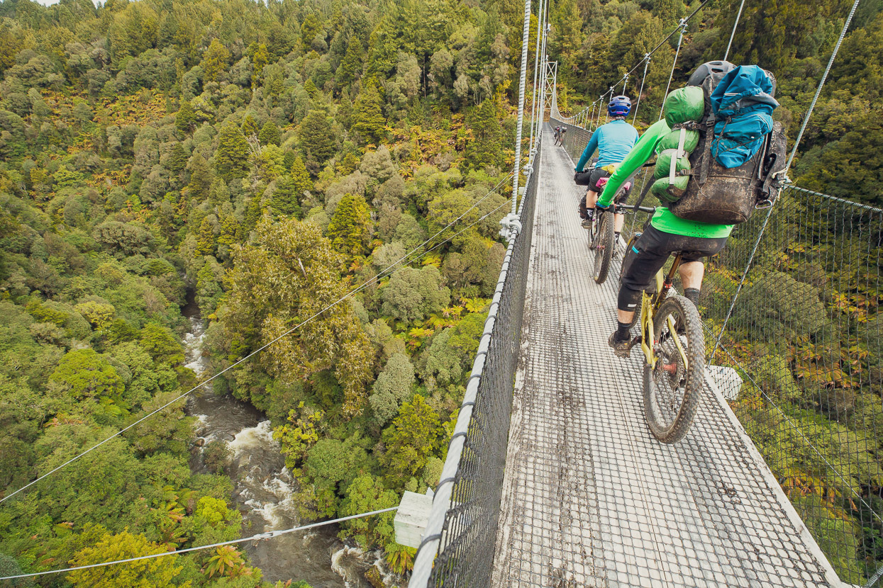
The route then descends and crosses a series of atmospheric bridges that span deep forested gorges. These impressive structures are one of the highlights of the ride and give a great perspective of the forest canopy and landscape.
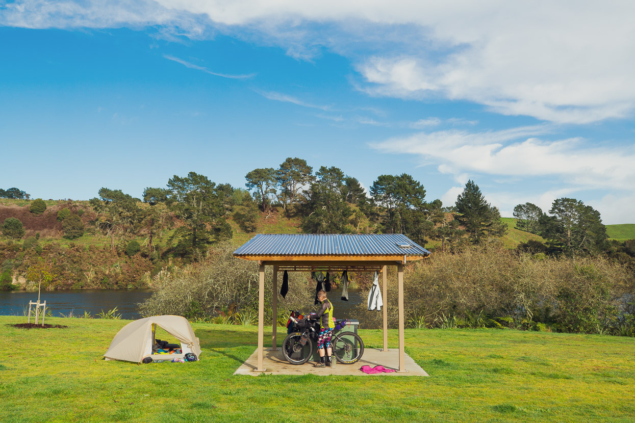
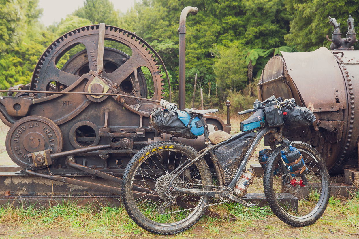
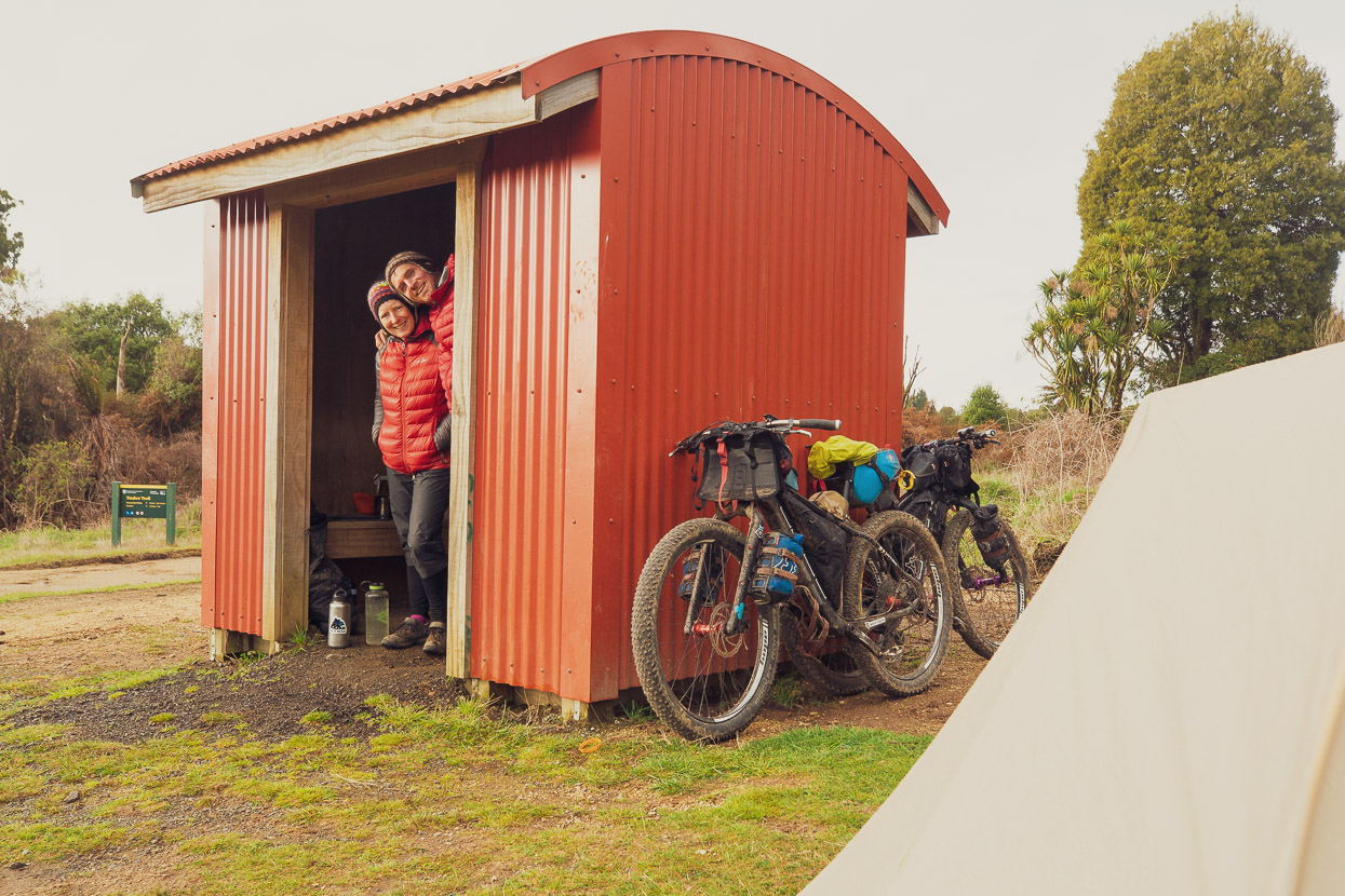
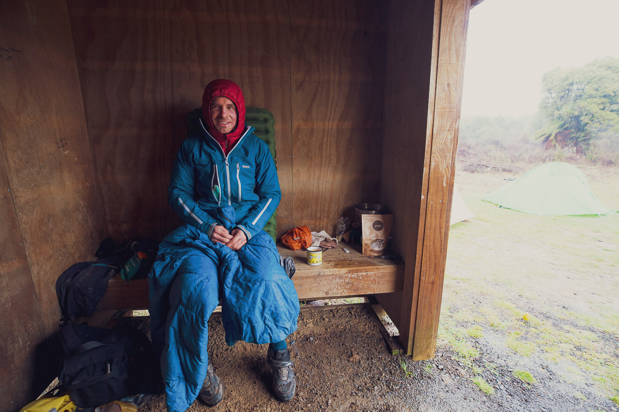
We rode on past Piropiro Campsite to the shelter at Mystery Creek, knowing it might be useful to cook inside during the forecast rain. Sure enough it rained on and off before setting in steadily the next morning making for an extremely wet ride out to the trail terminus at Ongarue. Jamie headed back to his vehicle at Bruce’s place while Hana and I continued on the road to Taumaranui.
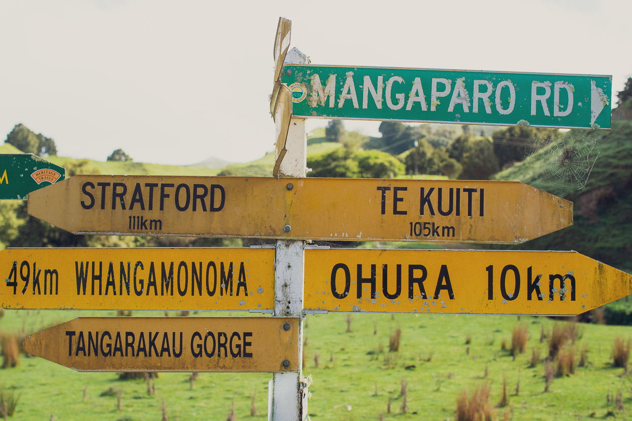
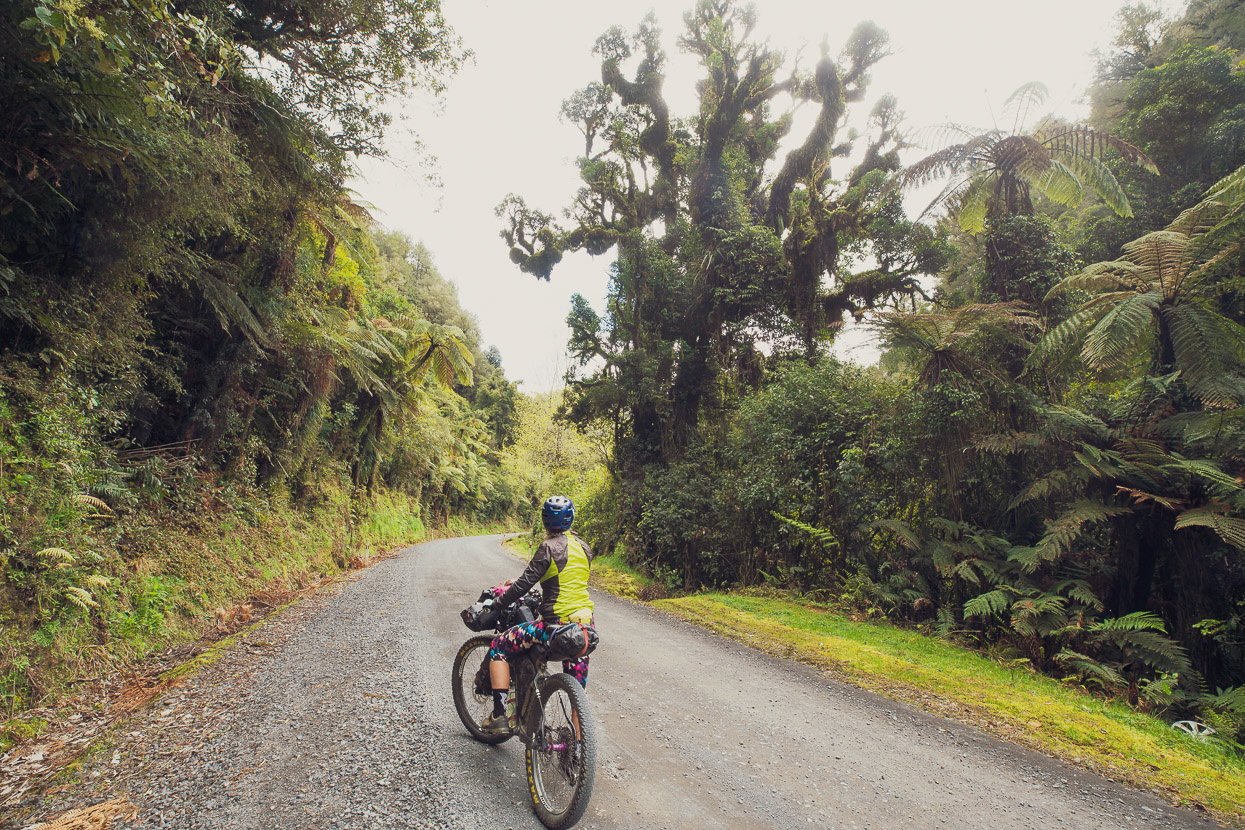
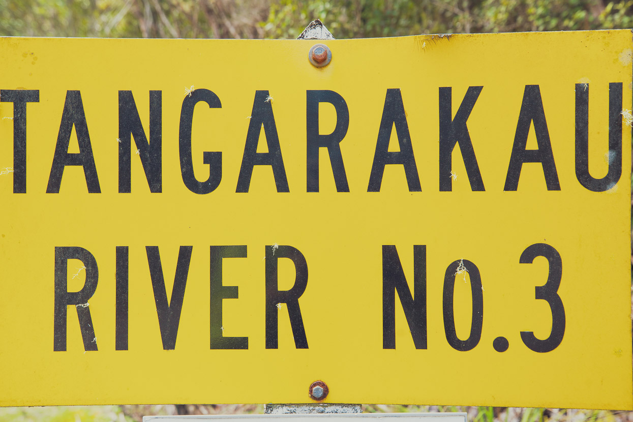
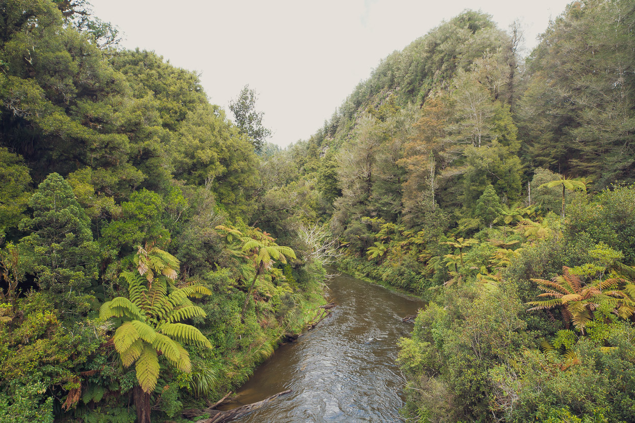
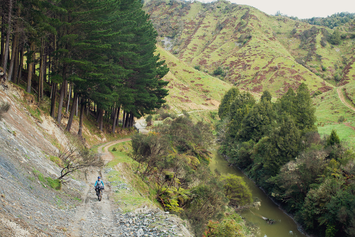
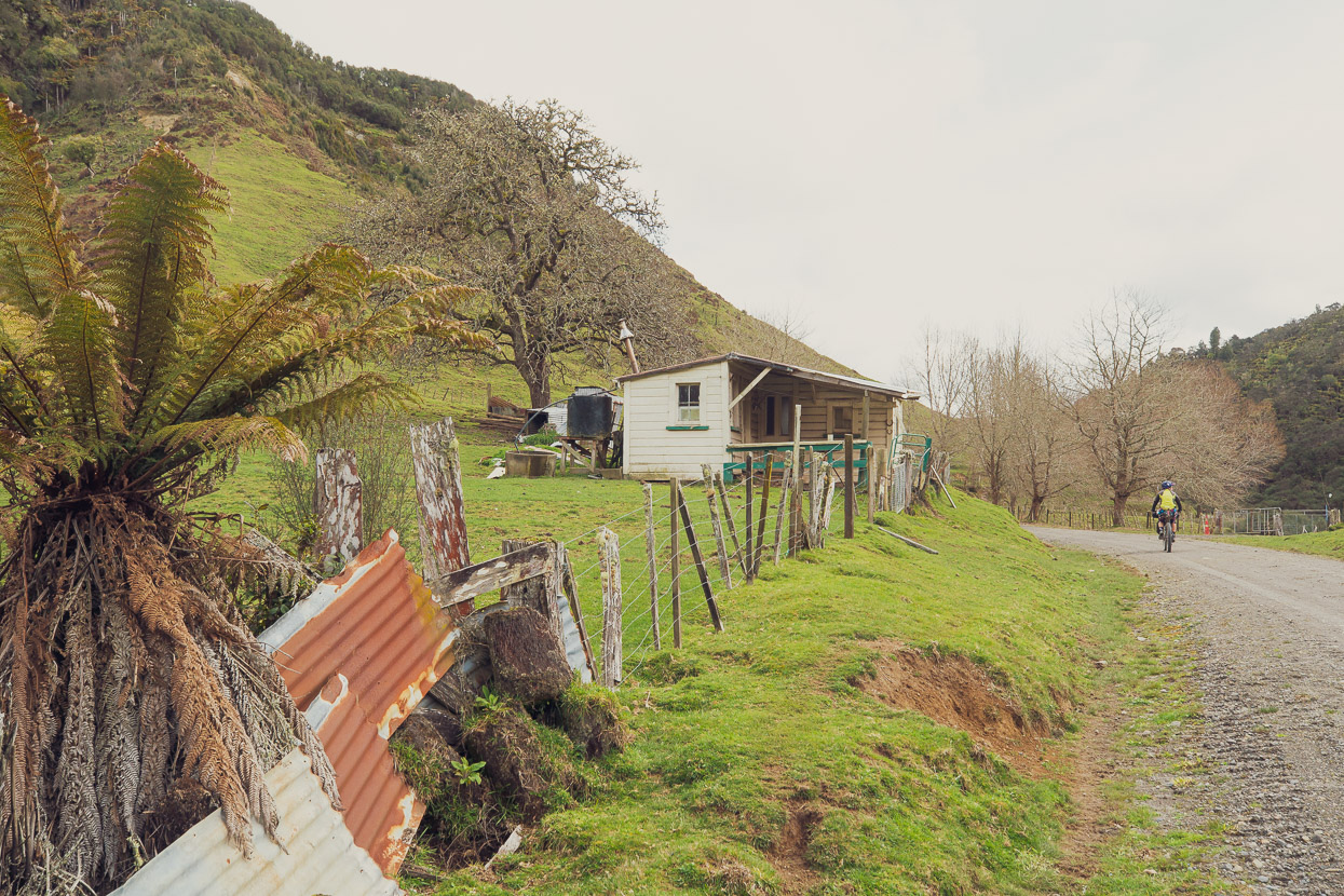
From Taumaranui we followed a very quiet and scenic dirt road altenative to the Forgotten World Highway, which we then joined and followed to Whangamomona. The FWH used to be a classic Kiwi gravel highway that really was a bit ‘forgotten’ but over the years it has been increasingly paved and come on to the tourism map. This has reduced some of its charm, and increased its traffic, but it’s still a very pleasant ride through some raw North Island rural land and some sections of rich native forest – particularly the Tangarakau Gorge.
The landscape has a rich and visible human history too, and even for the North Island you feel far from the urban centres out here.
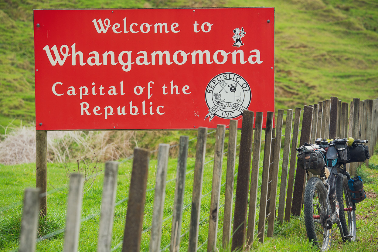
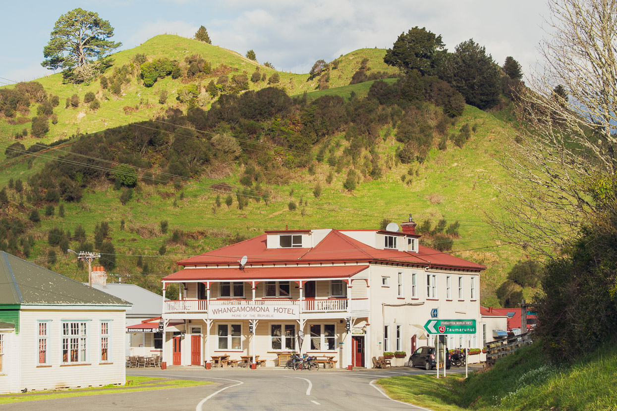
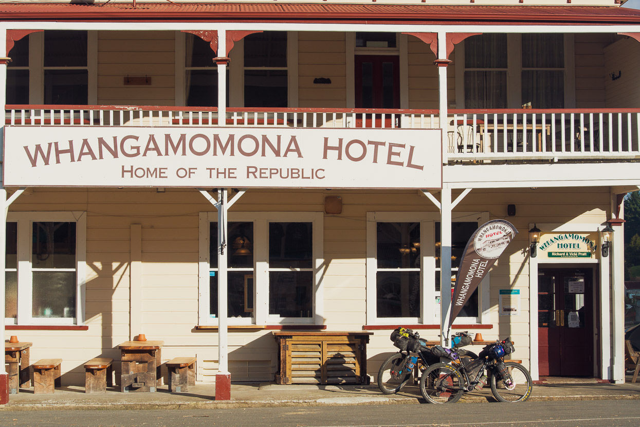
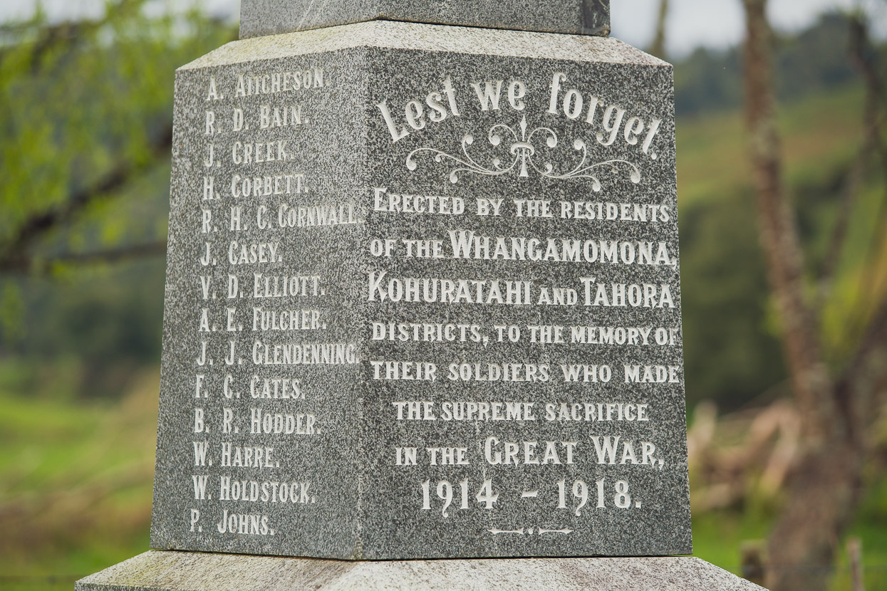
A highlight is the characterful town of Whangamomona, which were it not for some local pride, may well have gone the way of many other rural NZ towns over the years and become virtually a ghost town. The pub and hotel here is legendary for its hospitality and big meals. We asked the publican there about the condition of the Old Whangamomona Road, which was our next leg to reach the Bridge to Somewhere, and he didn’t hesitate to call a farmer who could give us the latest road info.
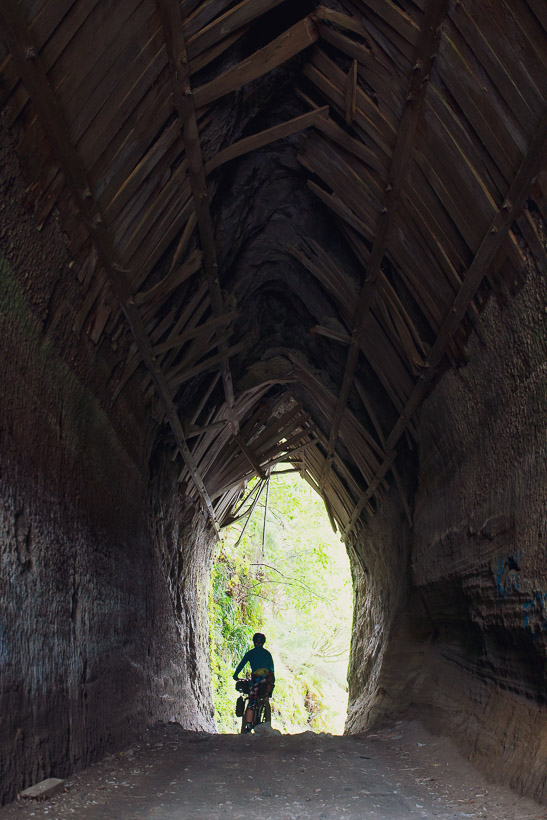
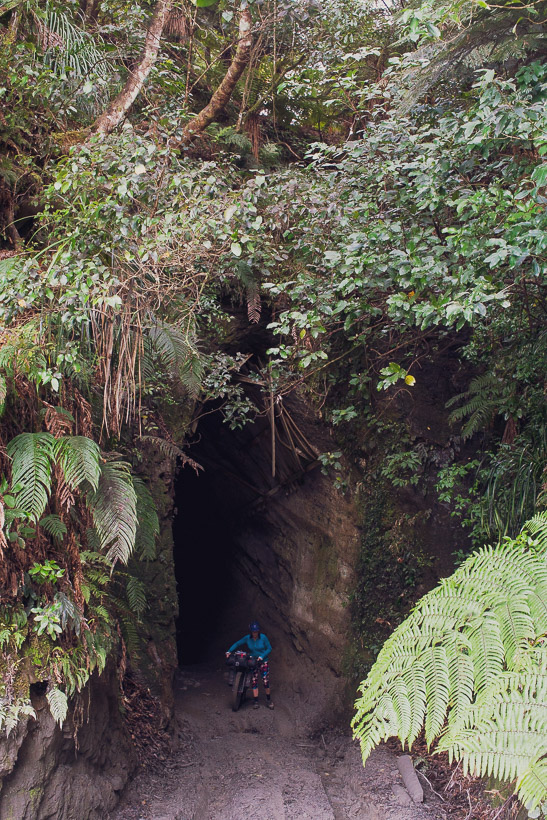
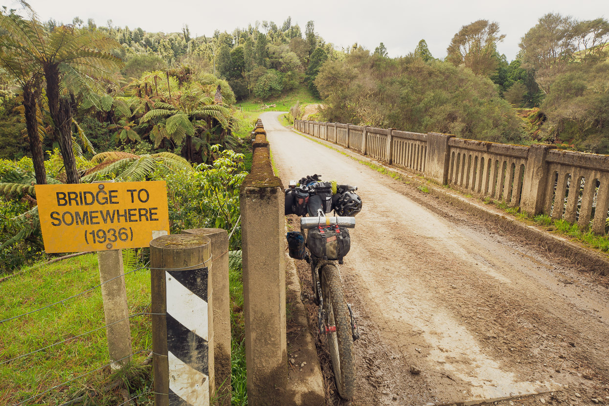
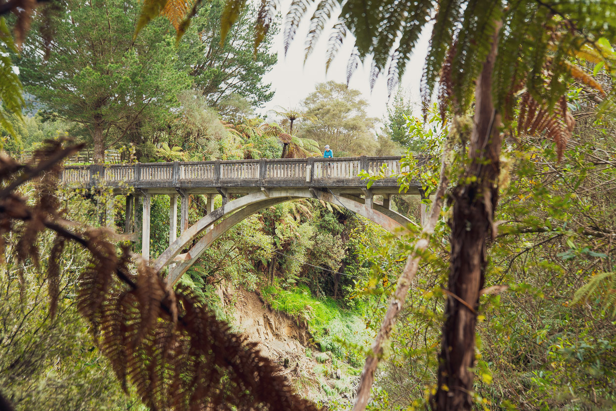
The news was good, so we set off on this truely forgotten road, in search of the Bridge to Somewhere.
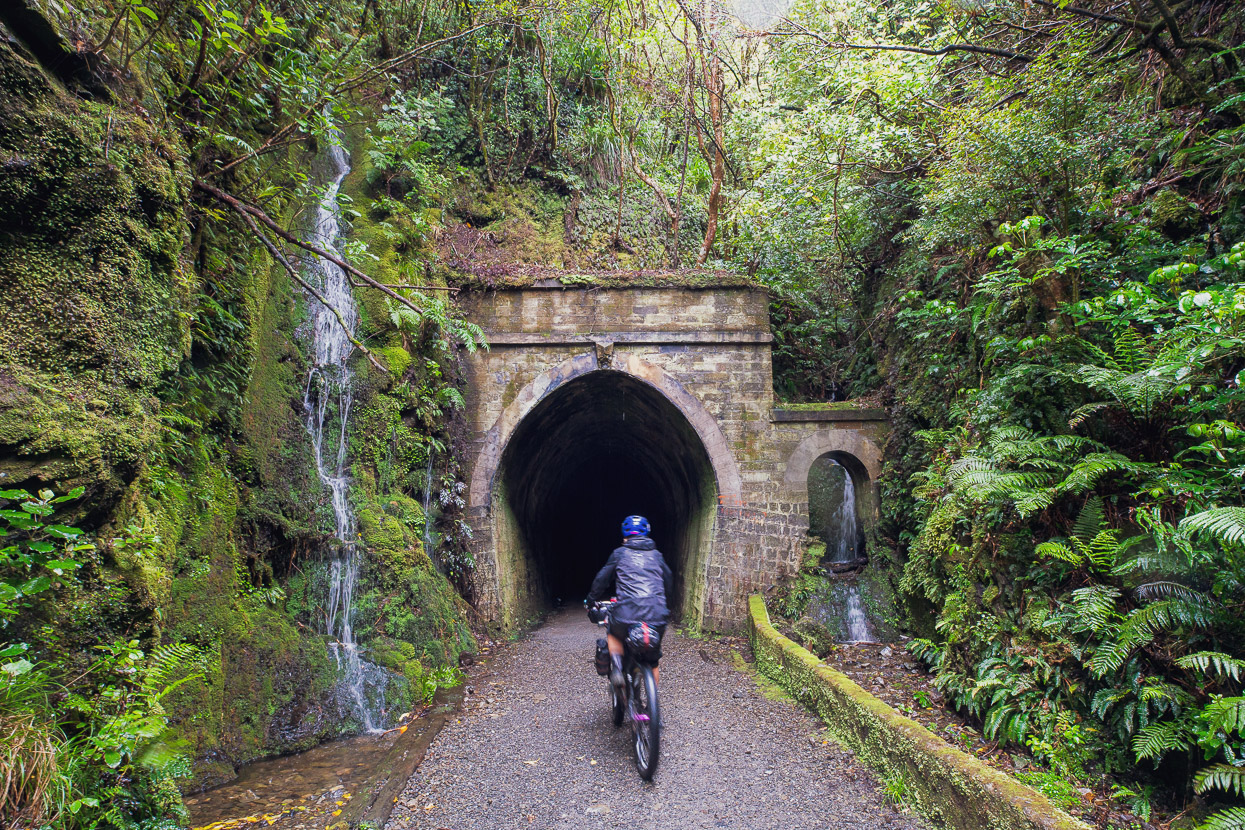
The road was built post WW1 to serve remote farming communities and today struggles with the fight against nature, but the famous earth tunnels seem to be standing the test of time.
Our original plan had been to visit the more famous Bridge to Nowhere inside Whanganui National Park, which is accessed by the Mangapurua singletrack, but this had been closed due to winter slips.
Both these historic bridges were built during the 1930s to provide permanent access to extremely rugged back country that was allocated to servicemen returning from the war, to be cultivated into farmland. Veterans and their families struggled through the 1920s against an untamable landscape before most of them finally abandoned their land. Ironically, most of the families had already given up the fight and left as these two bridges were completed by contractors. While the Bridge to Nowhere is indeed totally isolated and best accessed on foot or by bike, its counterpart is still used to this day to serve at least one rural station.
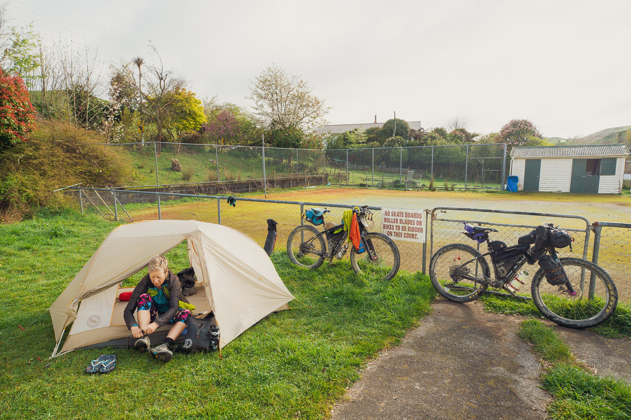
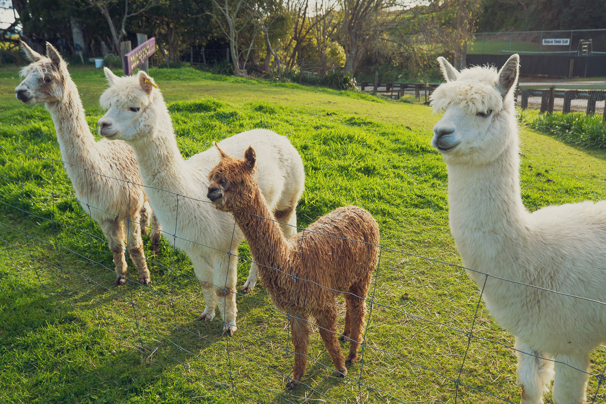
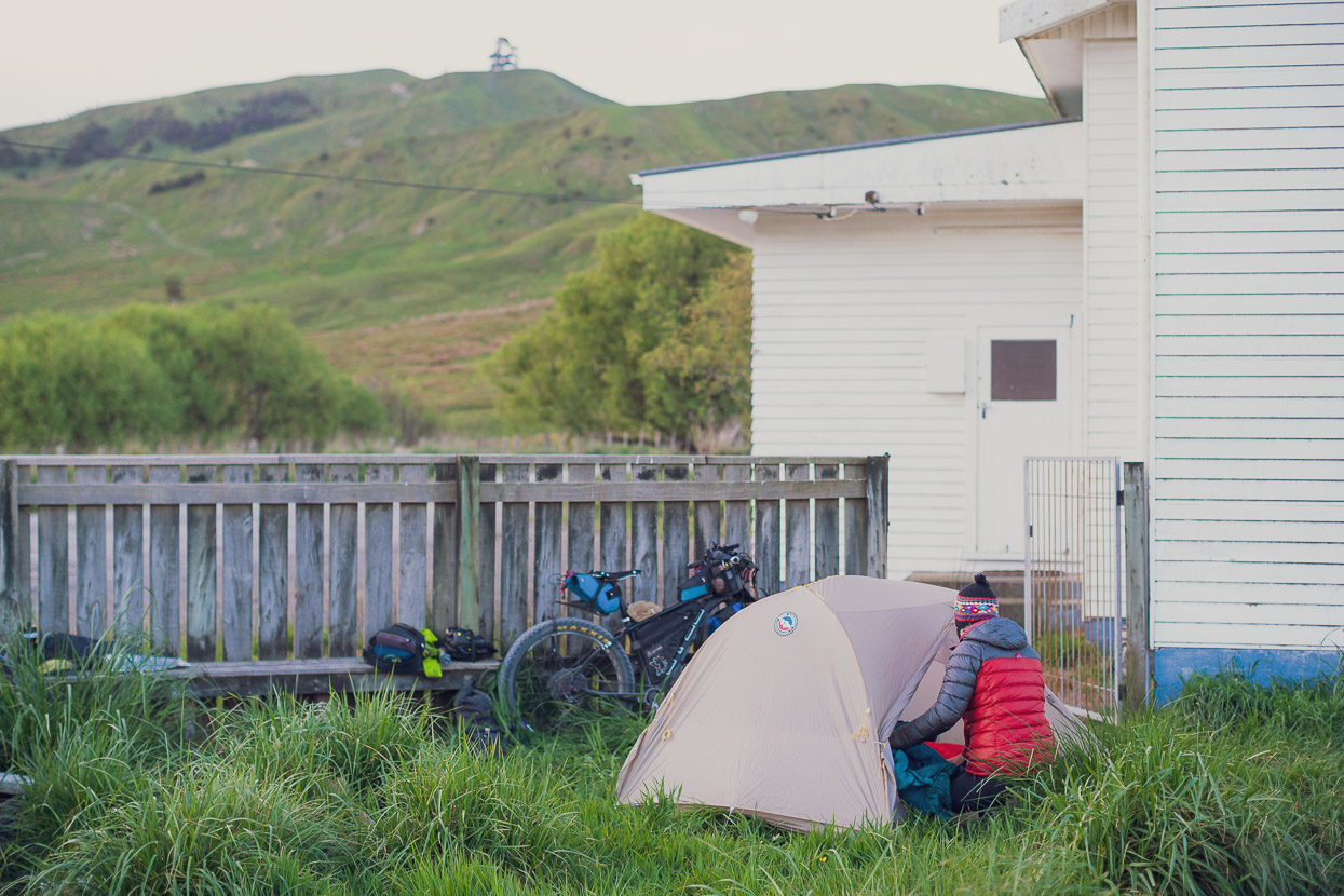
The rest of the ride out to Stratford was on quiet gravel roads and uneventful except for a frightening incident with a juvenile bull. We were both charged by it, leaving me with a busted derailleur hanger and Hana with a very bruised backside. We’re lucky it was not worse. Later that day we were invited to camp in the yard of a local furniture upholsterer who lived in an old school and kept alpacas. We tried to talk to them, but they didn’t understand our Spanish.
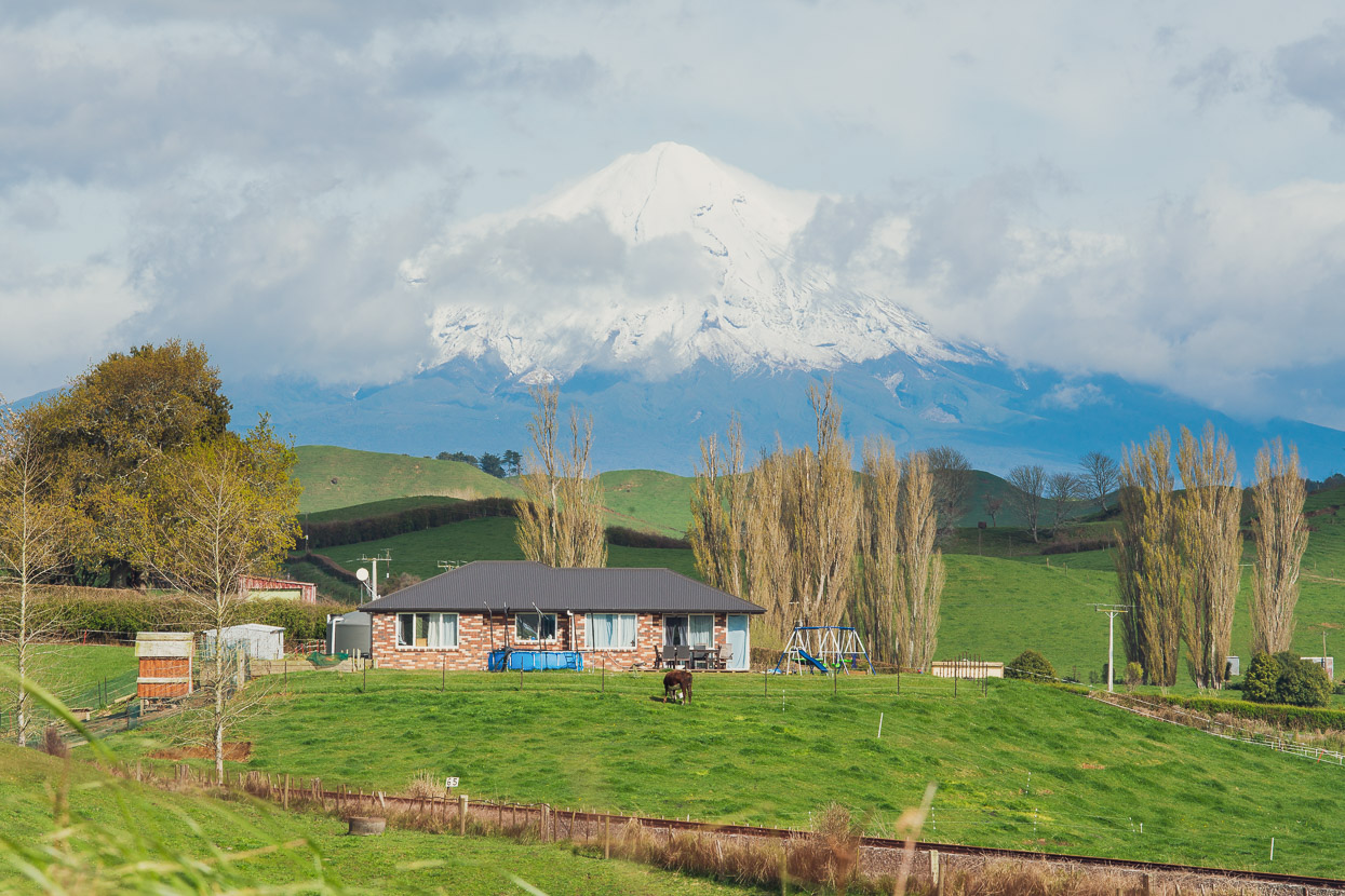
The snow covered cone of Mount Taranaki marked the end of our ride on and around the FWH. Fom there we dove south, mostly on quiet roads with a couple of visits right to the coast, around to Whanganui.
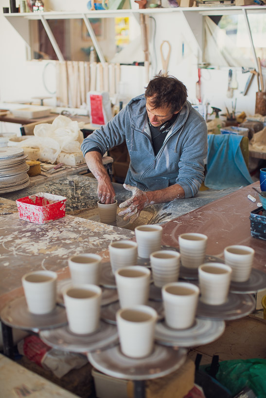
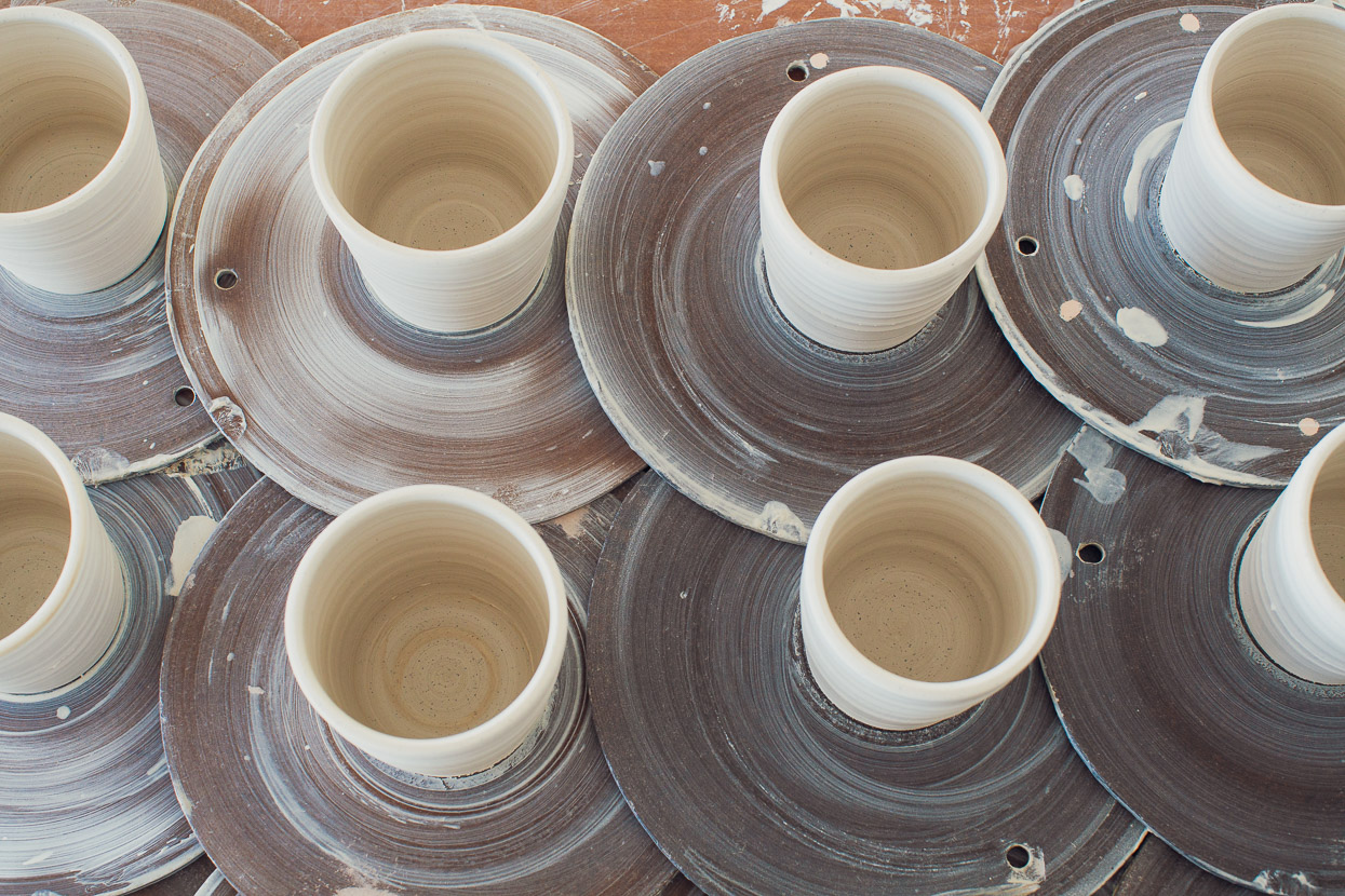
In Whanganui we caught up with old friend Ivan Vostinar, who with his partner Simone and daughter, lives in a former supermarket which he has transformed into a ceramics studio. Ivan’s energy and creativity has been quite transformative for the Castlecliff community where he lives. He has put a lot of work into gardens and plantings and the quality of his ceramic art brings a lot of visitors to his studio. We used to climb with Ivan many years ago in Christchurch, and of course even now, a good bouldering wall is insitu in the studio building.
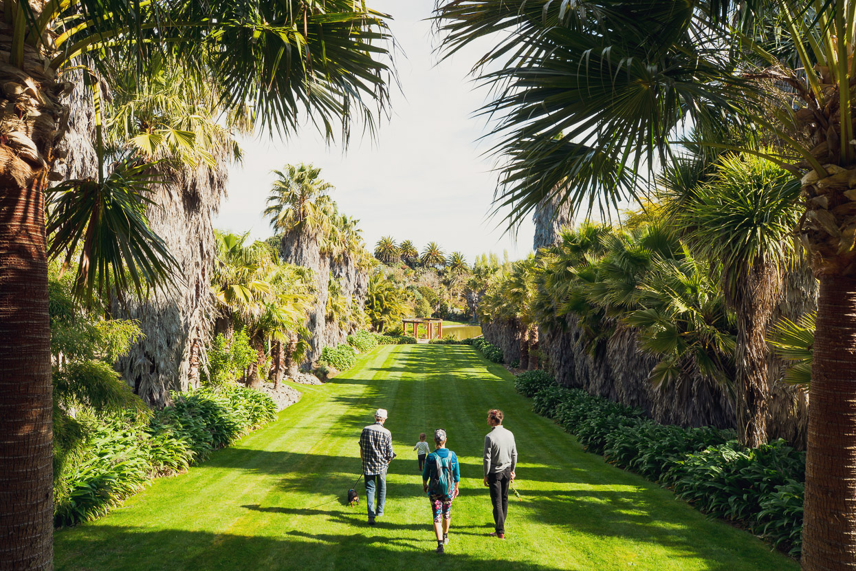
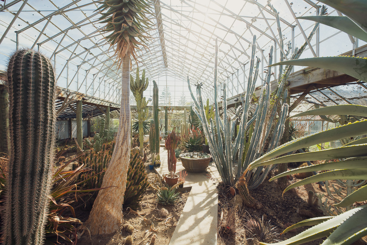
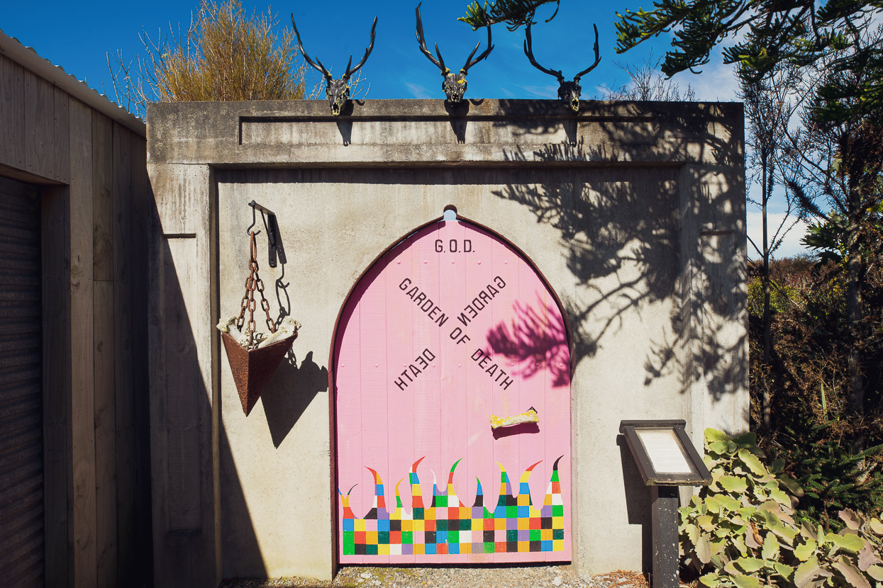
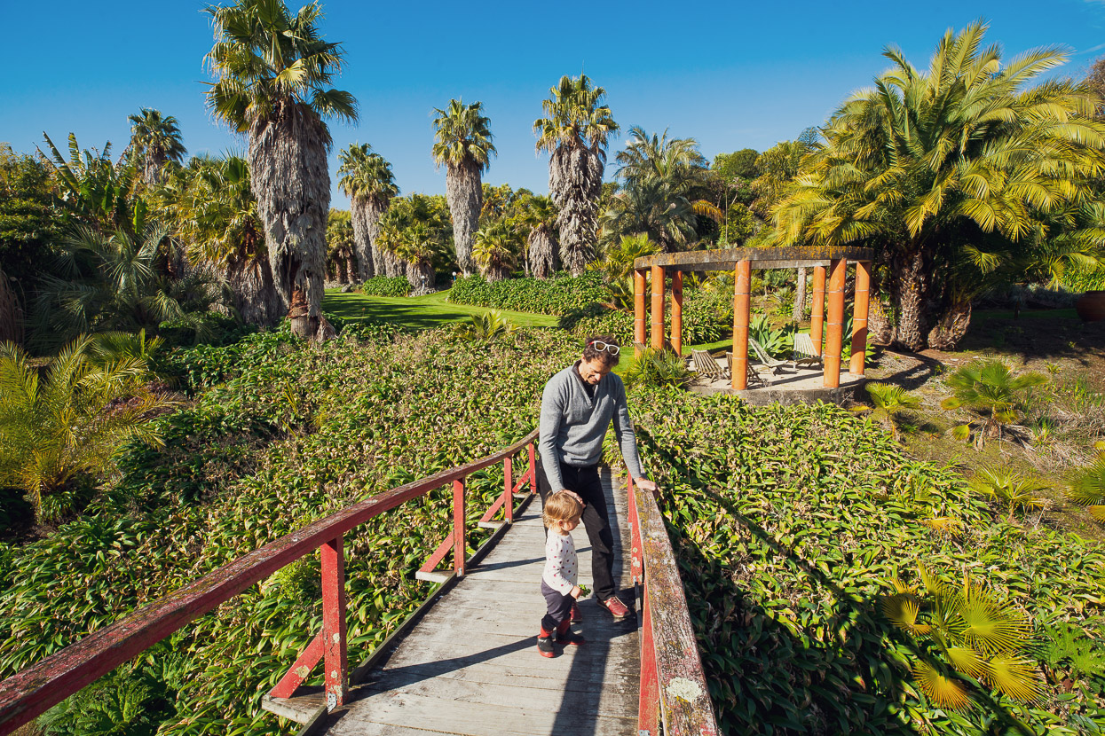
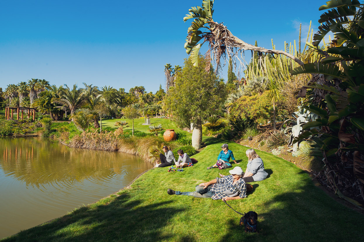
Simone’s parents Nicki and Clive also live in Whanganui and own a remarkable and extensive botanical garden, Paloma Gardens, with tree and plant species from all over the world. It’s fair to say that this garden is superior to some city gardens we’ve seen, and is well worth a visit if you are passing through.
From Whanganui we made our way to Marton and Palmerston North avoiding traffic as much as possible, but without taking the circuitous Tour Aotearoa route.
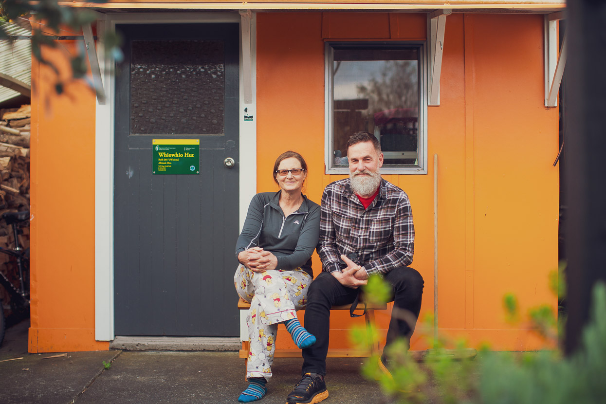
If you’re a through-hiker or cyclist, the place to stay in ‘Palmie’ is Whio Whio Hut. This suburban ‘backcountry’ hut is the initiative of trail angels, trampers and conservationists Whiona and Whin who have devoted a bit of their backyard to providing shelter for self-propelled travellers. Fiona and Anthony were walking Te Araroa trail (NOBO) the same year I did it in 2015, but we’d never met. So it was great to finally catch up over drinks at their place and spend a night in their famous hut, which is open to the public. Just make sure you contact them first at the above link.
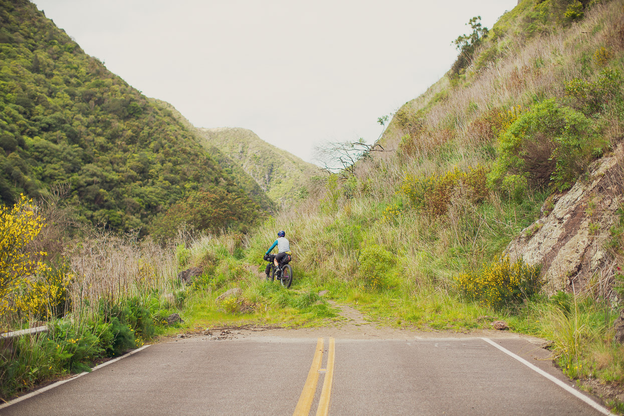
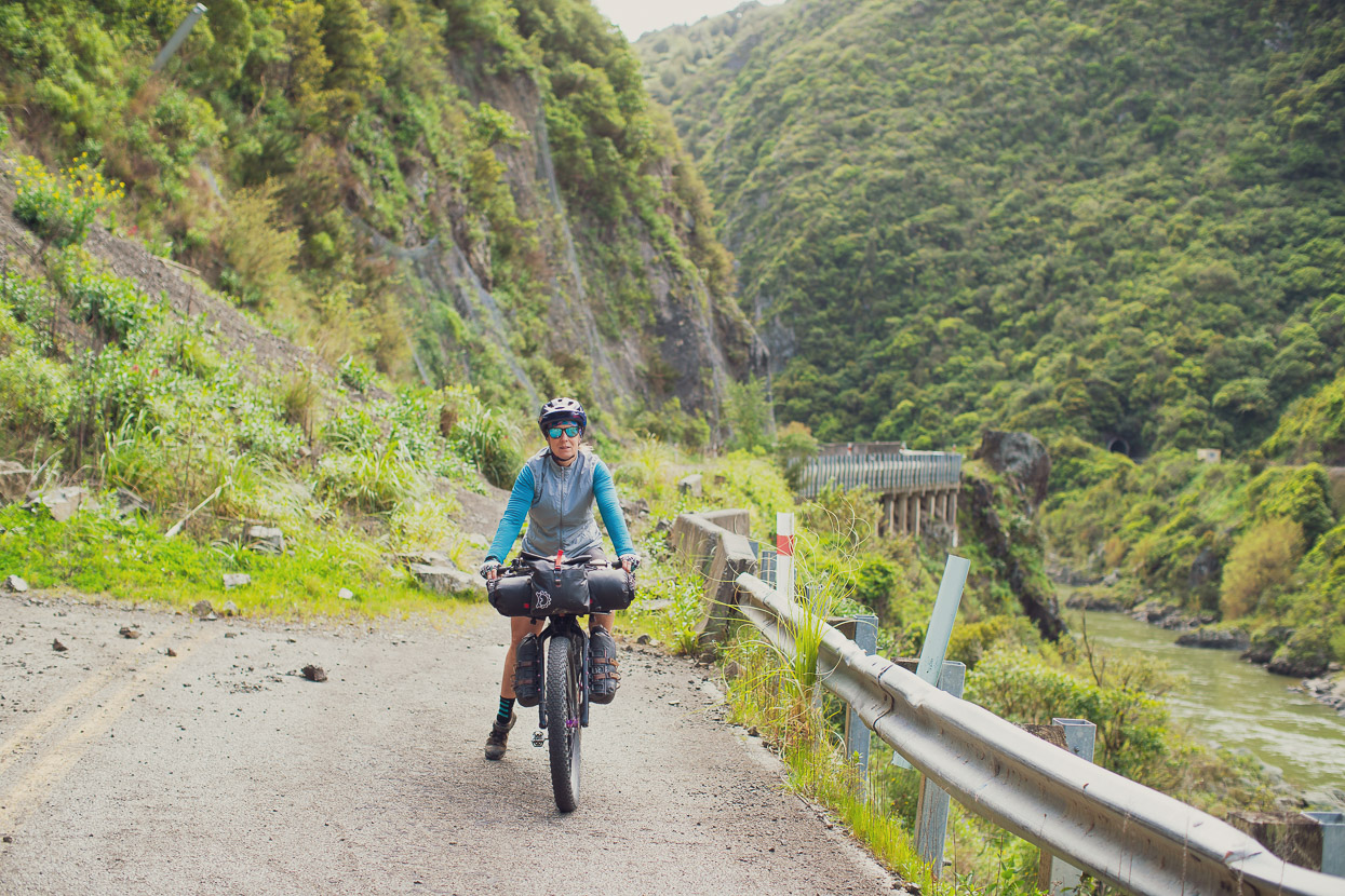
The main route from Palmie to the Wairarapa used to be Manawatu Gorge, until the road got destroyed by multiple landslides. It’s abandoned and closed now, but if you’re discrete and prepared to fence-hop, it’s still the best way to go by mountain bike.
A night in Eketahuna with Callum Skeet (another keen bikepacker) and his wife Kate had us well fed and rested for more hilly Wairarapa roads. Thanks guys!
Following a combo of the Tour Aotearoa and Number Eight Wired routes we rode backroads to Martinborough and then out to White Rock on the coast. A feature of our southbound spring ride had been abundant lambs, calves and a surprising number of ducklings spotted.
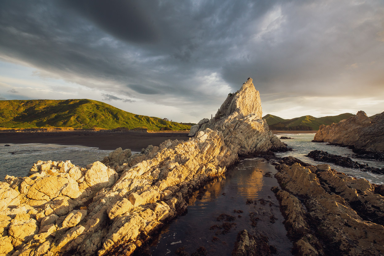
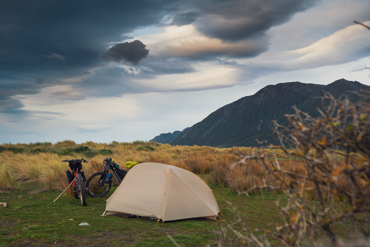
White Rock is a rugged and isolated spot on the east coast, popular with surfers. There’s camping right by the beach, but no freshwater nearby, so we filled at a stream before arriving.
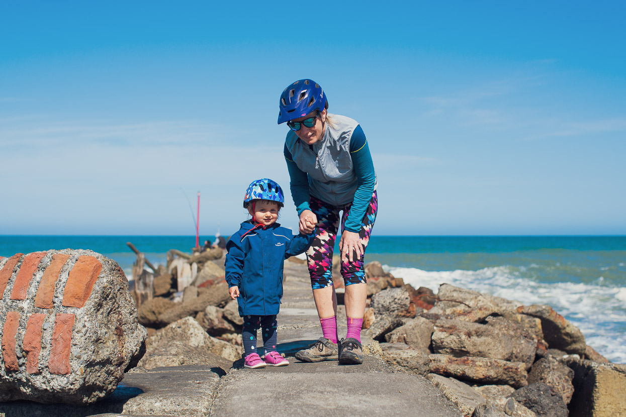
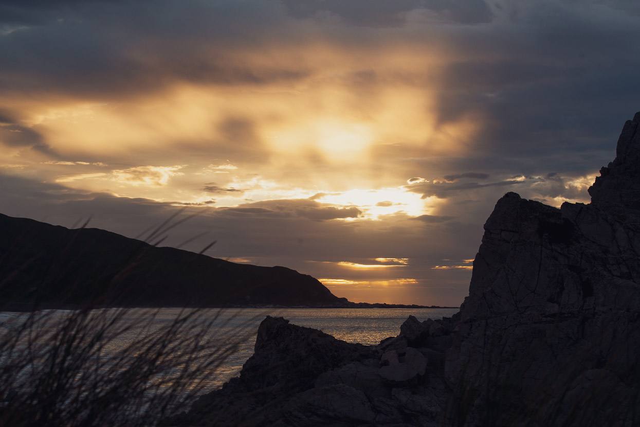
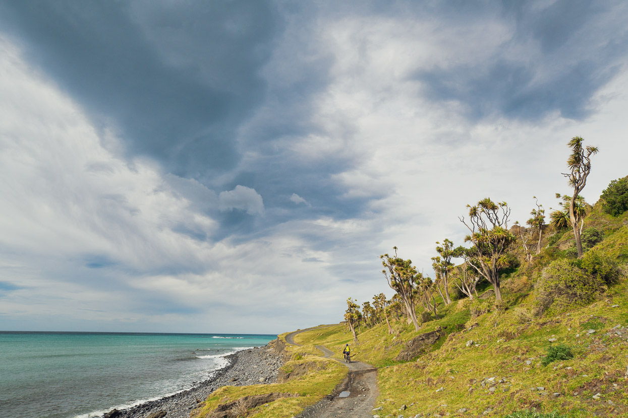
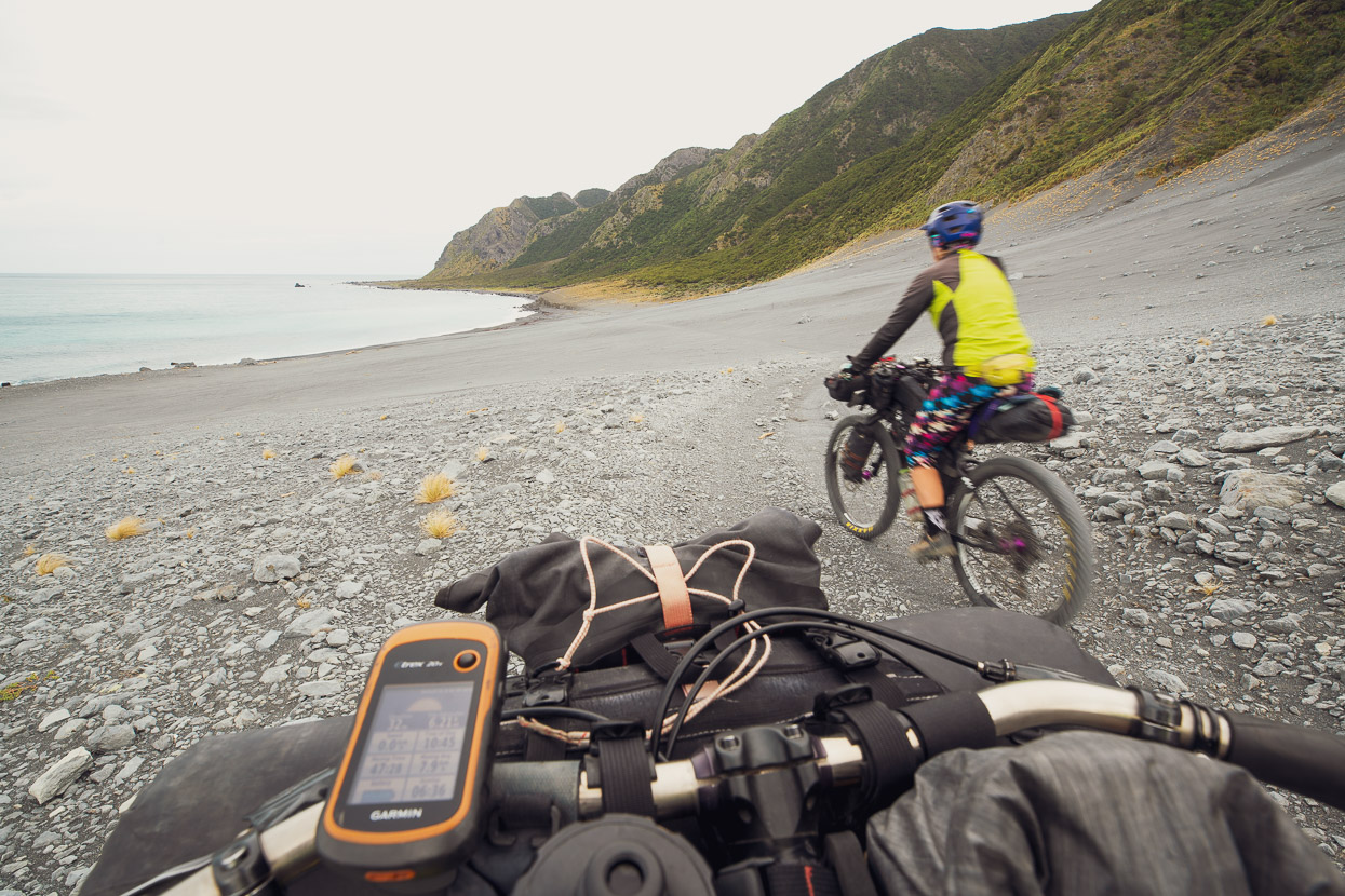
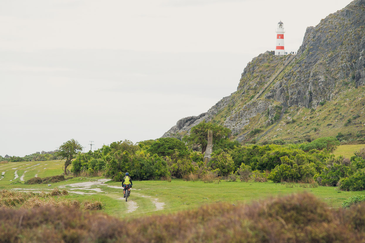
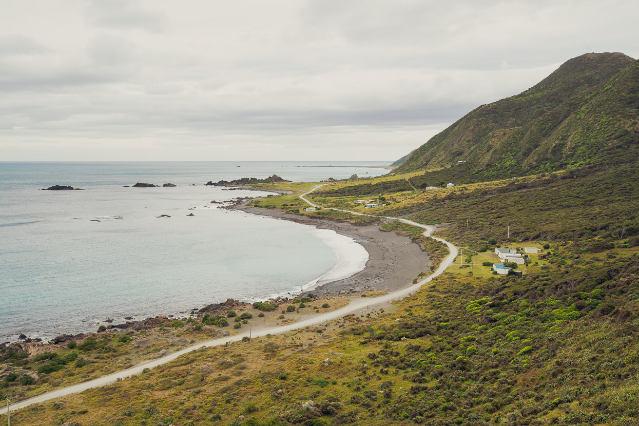
We’d visited this remote and interesting place a couple of times before, but the last time I’d been right along the coast from here to Cape Palliser and beyond was with Jamie Nicoll back in the mid-90s, so it was great to be back and repeating some of that journey. While it’s not particularly far to Cape Palliser and around to the community of Ngawi, the coast is extremely exposed and it can be very windy.
Sections of the road have now fallen into the sea, but on a bike it’s all easily passable. The route does cross a couple of farm stations and the first you cross (Ngapotiki) has traditionally required permission. However the station was for sale after a death in the family (October 2020) and they were currently happy for cyclists to use the road as long as they stay on it and don’t bother livestock.
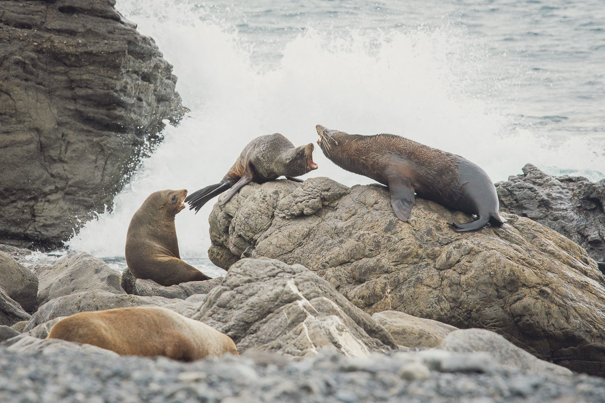
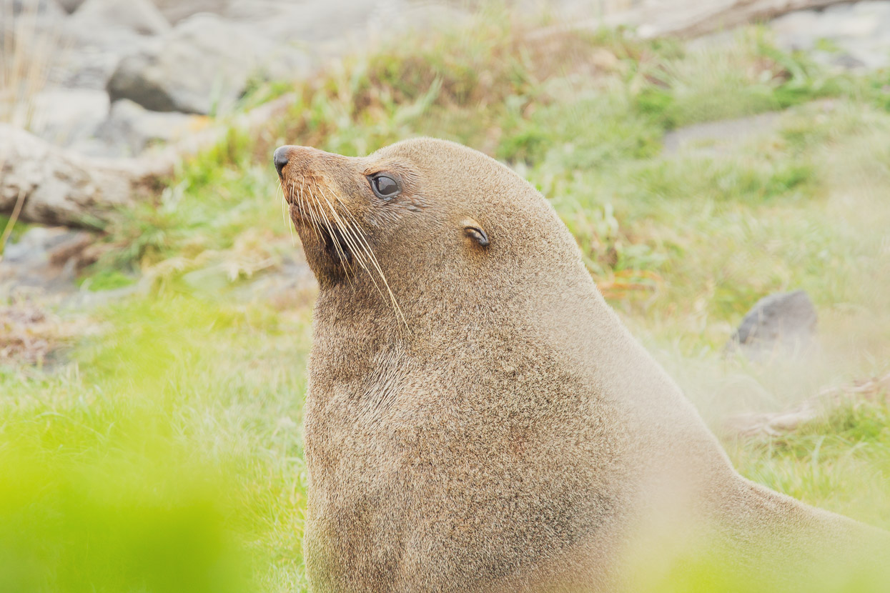
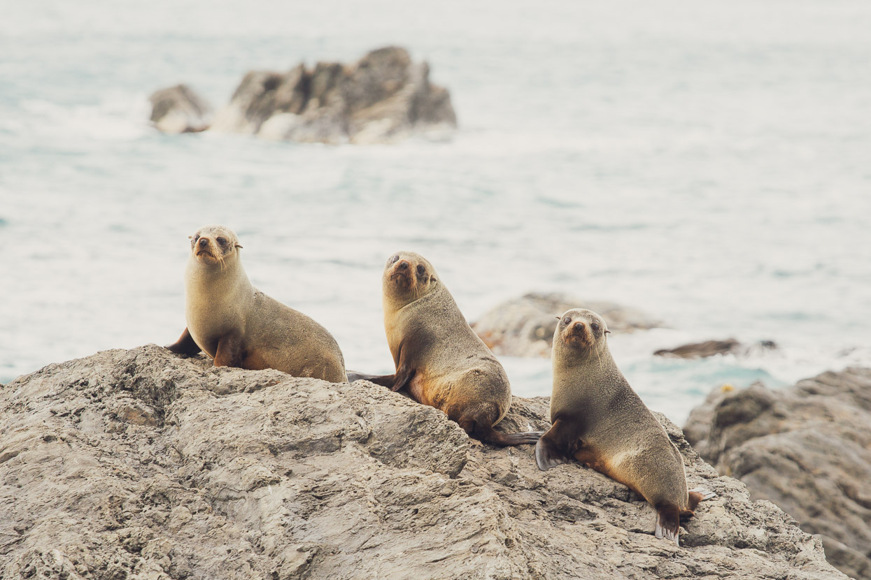
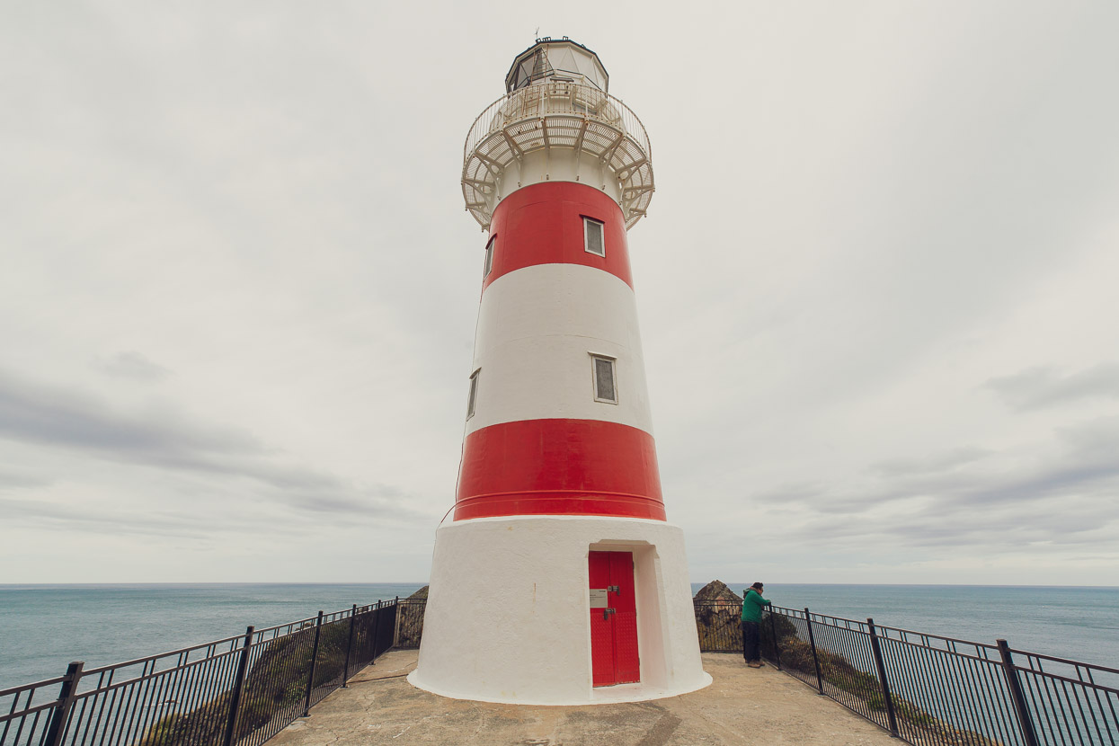
There are a number of fur seal colonies along this coast and their antics can provide a bit of entertainment along the way. If you have the time, there’s also some good sheltered camping spots and a waterfall at Waitetuna Stream, between Ngapotiki road and the lighthouse.
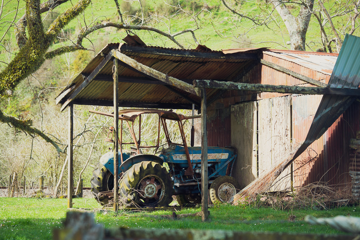
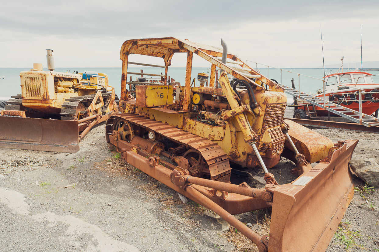
The windswept, rust streaked fishing community of Ngawi is always interesting with its armada of fishing boats and attendant tractors. We were lucky it was a weekend, when the food caravan is open and we tucked into a good feed of fish and chips. There were even a couple of other bikepackers, Jan and Tahi, headed in the other direction.
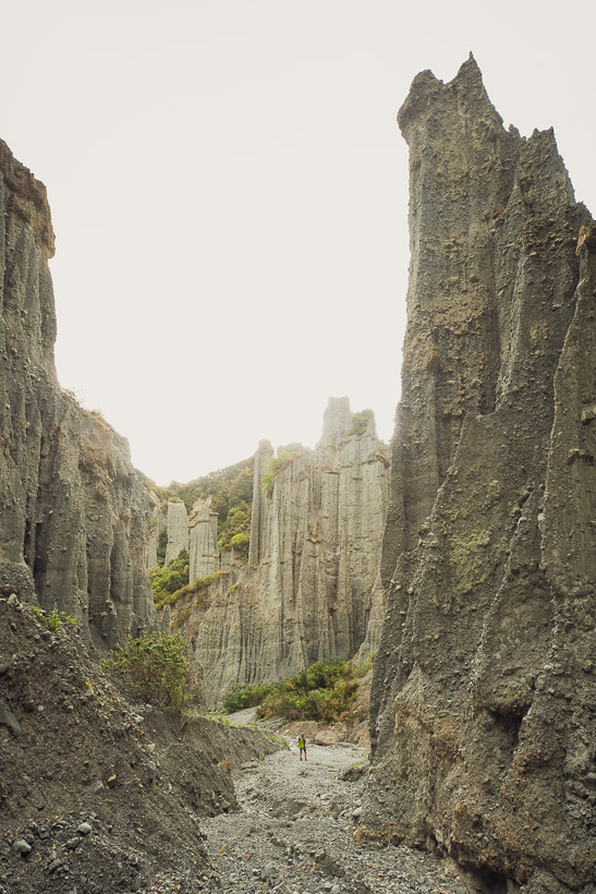
Our last night on the ride to Wellington was spent camped at the Putangirua Pinnacles, which are worth a visit if you’re passing by. The basic DOC camp there is surrounded by regenerating bush and generally pretty quiet. Another bout of severe weather set in that night, and the next day we battled rain and headwinds past Lake Wairarapa and into the Remutaka Incline, an historic rail route, which took us over to the Hutt Valley and Wellington. Hana and I had crossed the Remutaka Incline (eastbound) on a rainy day on the first day of our first ever cycle tour together back in 1992, so despite the weather it was really nice to reminisce as we pedalled up the climb in steady rain.
Part two: Picton to Lyttelton coming soon.
Do you enjoy our blog content? Find it useful?
Creating content for this site – as much as we love it – adds to travel costs. Every small donation helps, and your contributions motivate us to work on more bicycle travel-related content.
Thanks to Otso Cycles, Wolftooth, Big Agnes, Revelate Designs, Sungod & Biomaxa




A nice virtual tour for me while I’m stuck at home. Nice!
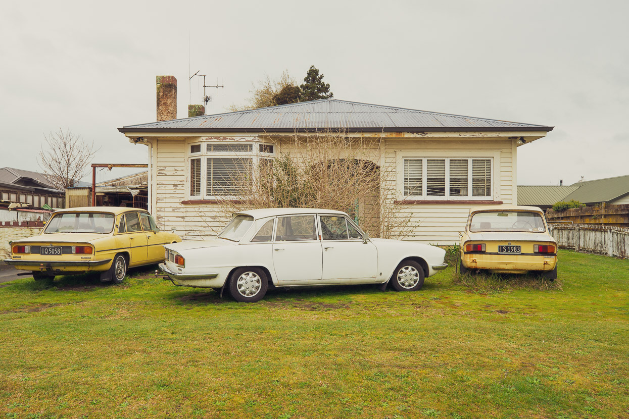
A brilliant North Island tour. I have a similar photo of those Matamata Triumphs, as I’m sure a fair few TA riders do.
Funny to see local bikepacking mate Jan pop up with Tahi.