mama coca bikepacking route, part ii
This post covers our final days cycling in the Andes Oriental as we followed the classic Mama Coca bikepacking route south past Illimani and the Cordillera Quimsa Cruz.
After many months cycling in this part of the Andes we were looking forward to a grand finale in this region before heading west across the altiplano towards Volcan Sajama, the Atacama Desert and Chile, which would herald a new chapter of this now 3.5 year journey.
The Mama Coca is very much a route of two halves, with the characters of the northern and southern sections being quite different. For most cyclists, the two sections will be divided by the city of La Paz which is a short detour from the route. On the northern section we enjoyed the space of the puna and the Andean foothills. Generally shorter climbs define the route and a large portion of the riding is off roads entirely, taking some clever route finding across grasslands and in and out of shallow quebradas. It’s very enjoyable in its variety and you never know what the next turn might bring. All the while the route is backdropped with the ice clad peaks of the Cordillera Real with Condoriri (short detour) being a particular highlight.
The southern section is nearly all on formed roads with only one hike-a-bike pass. The highlights are more singular and varied: from the second highest mountain in Bolivia (Illimani) to one of the country’s deepest canyons (the Rio La Paz). The climbs are therefore bigger, but the rewards are equally big as some spectacular alpine scenery unfolds as the route traverses the edge of the Cordillera Quimsa Cruz.
We really enjoyed the route as a whole, and hope you enjoy our final post from this chapter of our ride.
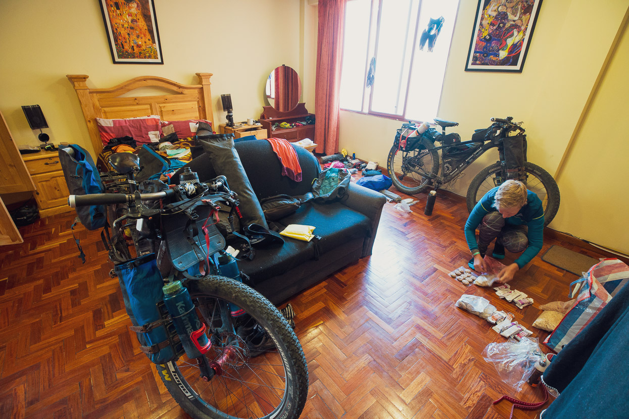
By the time I got back from my five day excursion to ride the El Choro trek and back up the Death Road, Hana was well recovered from her surgery and the surgeon was happy with the condition of her skin graft (see previous post). So we planned to leave three days later. We’d been in an affordable Air B&B just 10 minutes walk from the centro and it had been home for Hana now for over two weeks.
We packed the remainder of the freeze dri food we’d brought back from NZ, along with muesli and muesli bars, which were boosted with some delicious bars Hana had made in the apartment. The southern half of Mama Coca is less remote, with more resupply options than the northern half, but it still makes sense to carry nutritious food with you, so we left La Paz with basic food to cover 6 days (5 nights), which we’d supplement with bread and other treats along the way from the small shops.
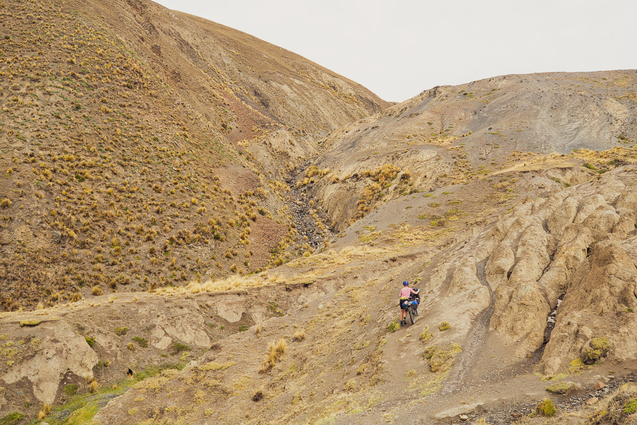
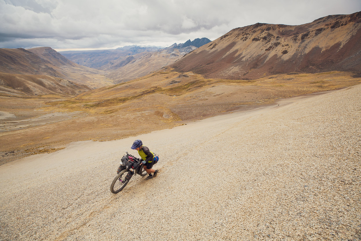
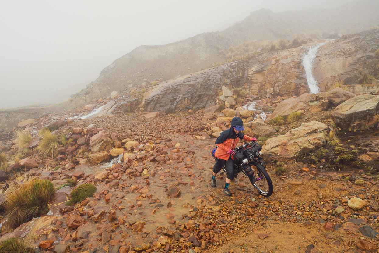
We caught a taxi back up the La Cumbre highway to a point where we could rejoin the route and rode a short warm up climb over into the next valley south and down to Quiñuma. This proved a wise move, as 1000m of climbing followed to reach the next pass, and much of it was steep hike-a-bike.
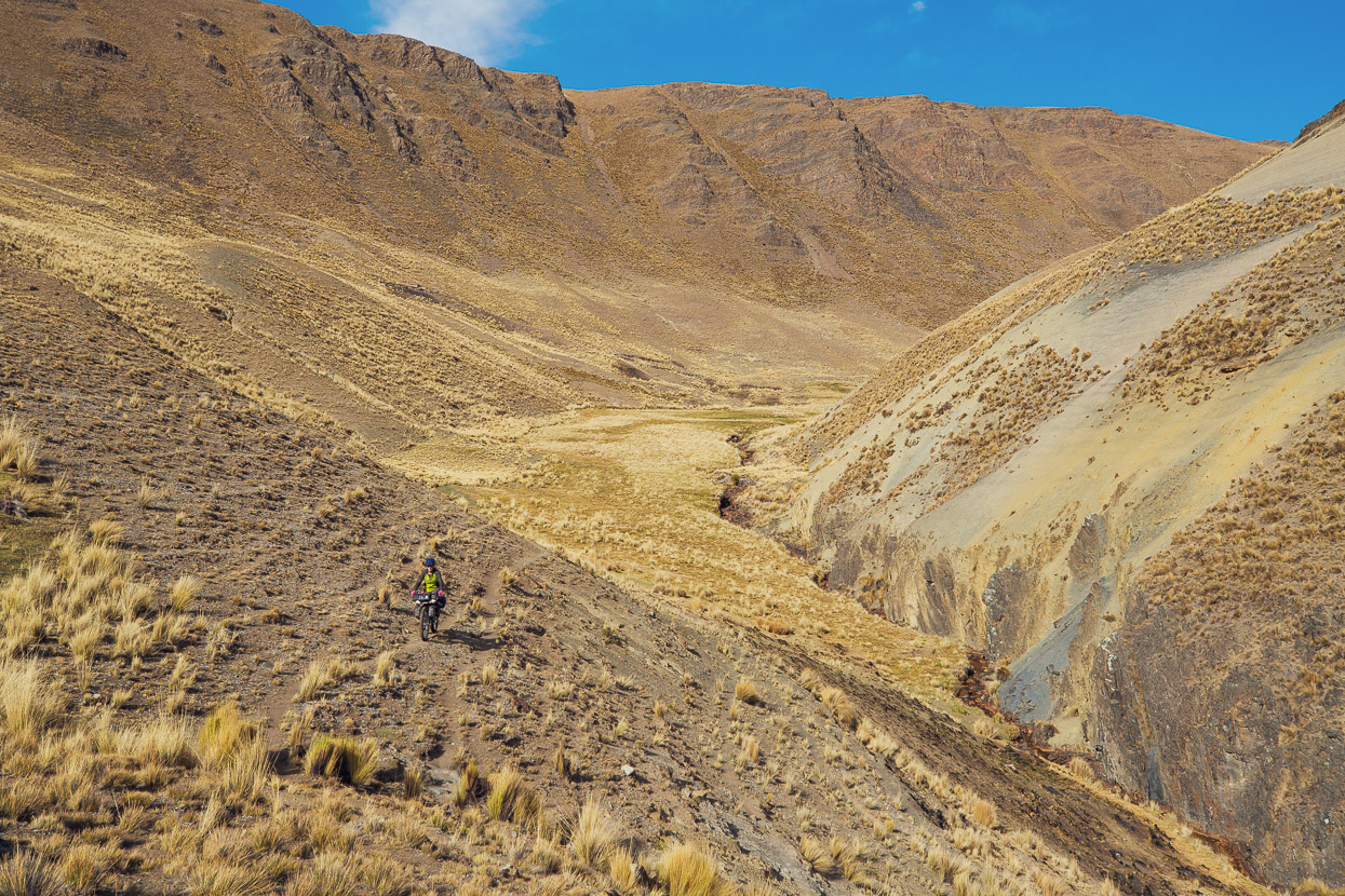
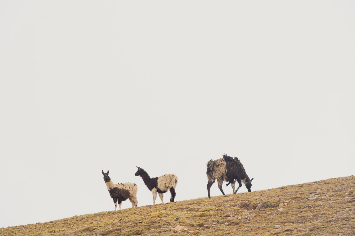
Discontinuous llama trails led the way as we slowly gained height.
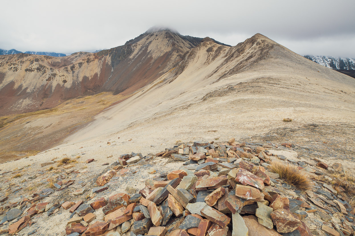
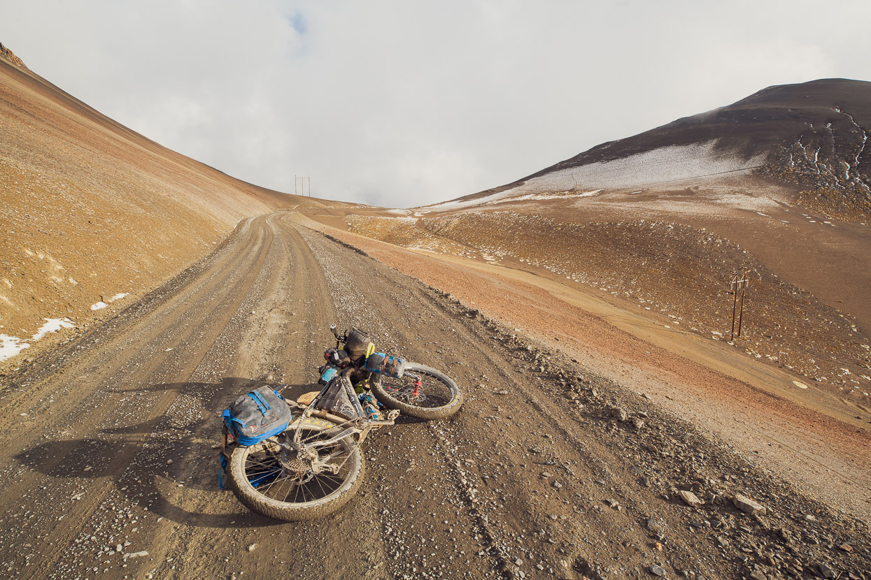
And then a final heave up steep scree to reach the pass at 4890m.
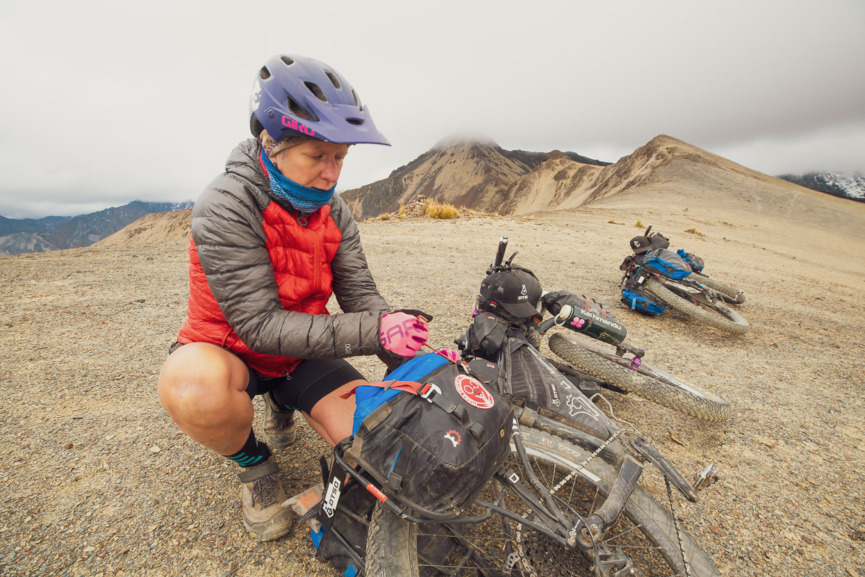
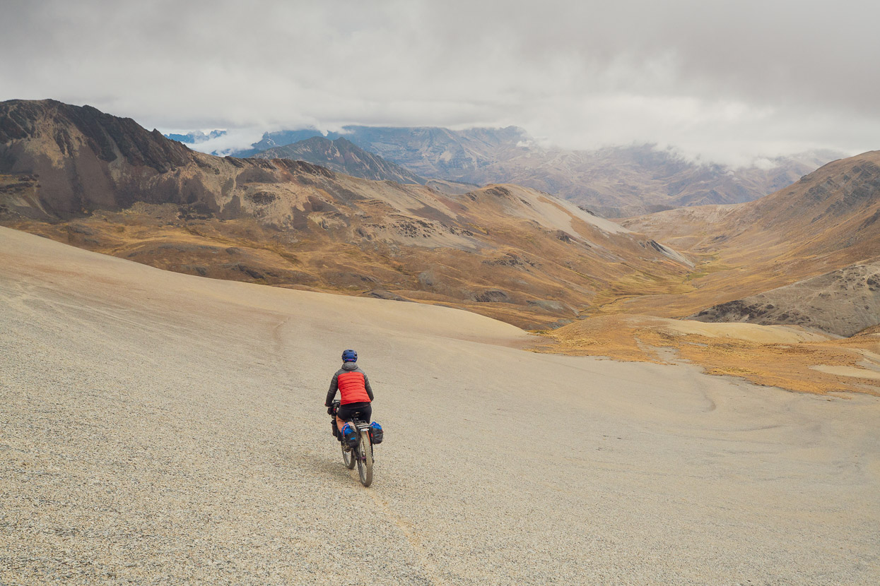
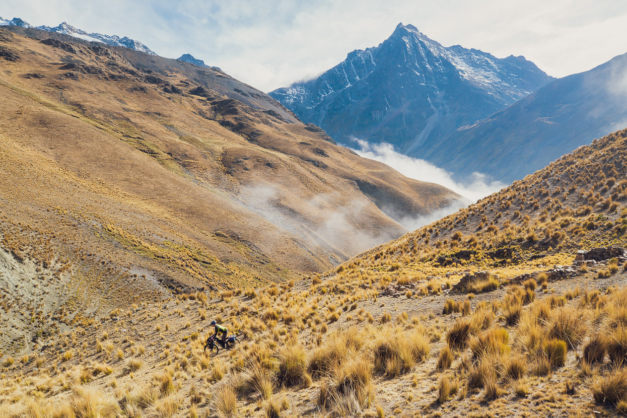
Were it clear we’d have had an amazing view of Illimani from the pass, but it was overcast and we didn’t linger in the cold wind. We’d had a late start and needed to drop as low as we could before dark to camp. This side of the pass was even less tracked than the western side, so we picked our way cross-country over scree, through tussock and across swampy sections.
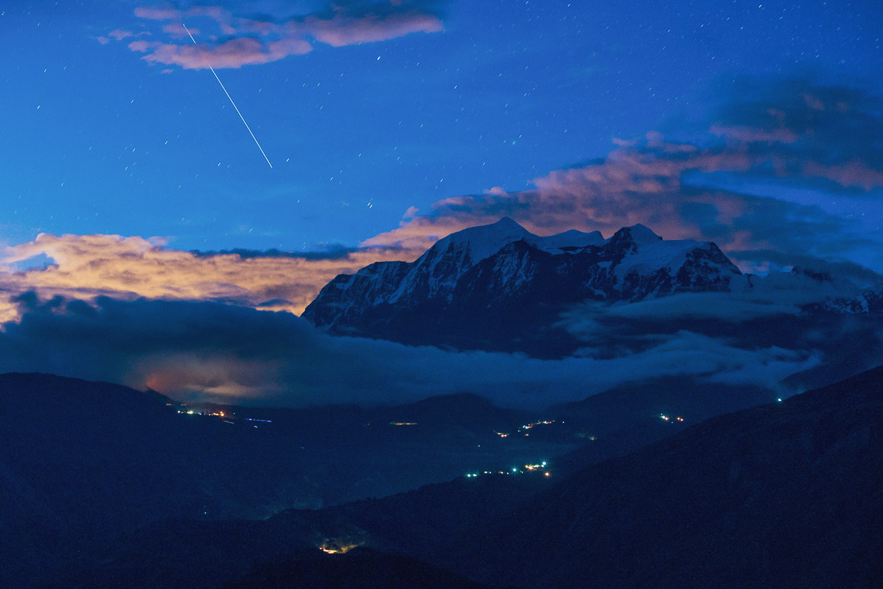
Eventually, just as it was time to pull the head torches out, we found a flat gravel patch just big enough for the tent. A small stream gurgled away nearby, and already a few stars were beginning to peep out between breaks in the cloud. Rarely for Bolivia, we were completely alone in the head of the alpine valley: not even a distant dog’s bark to upset the peace of our campsite.
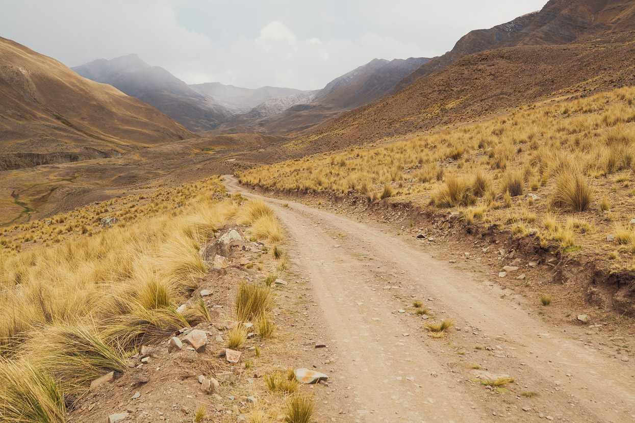
We continued down valley early the next morning, cross country at first, until we picked up some single track formed by animal trails, and then eventually onto a very rough road that led down to a small laguna and pampa.
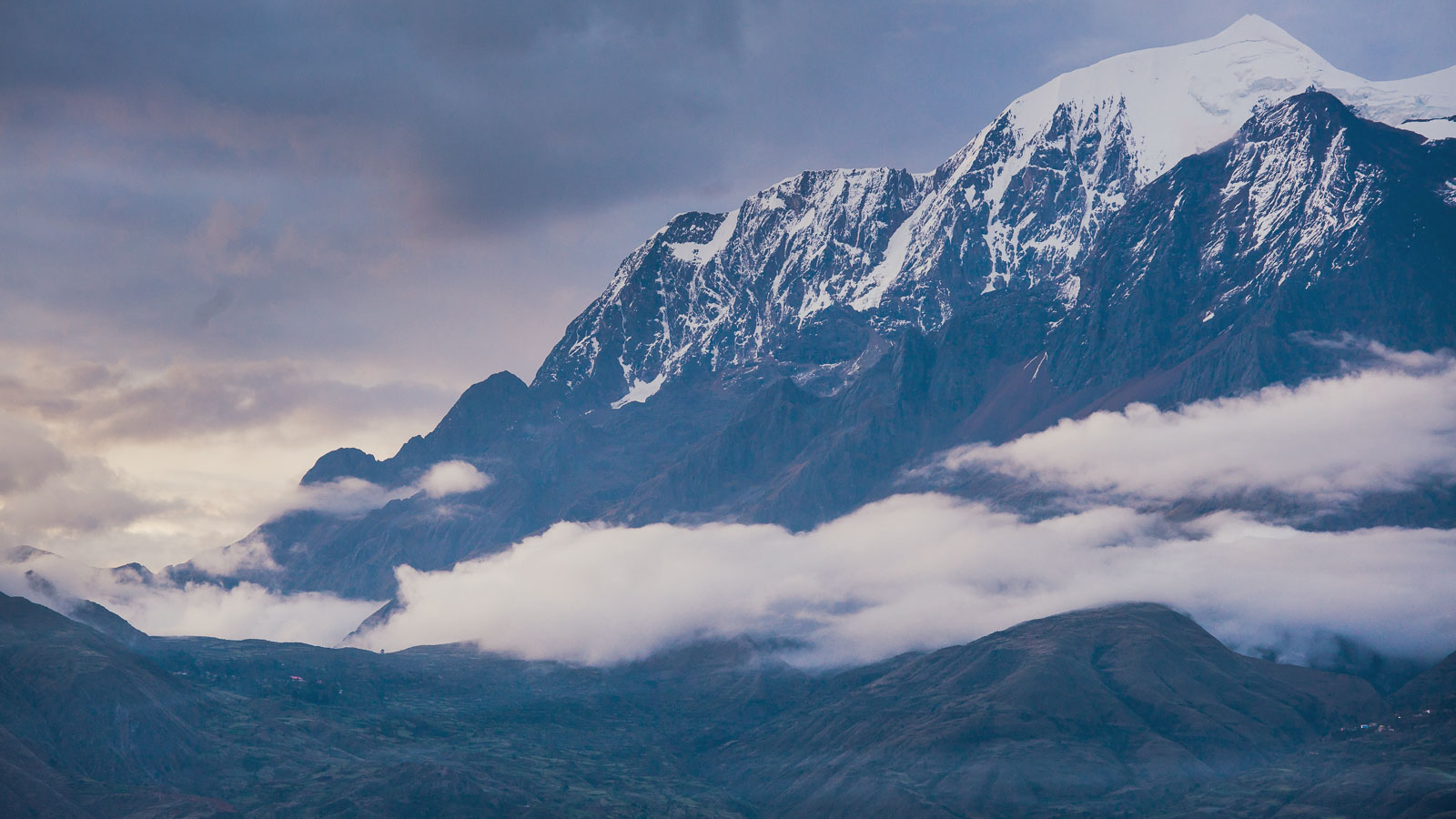
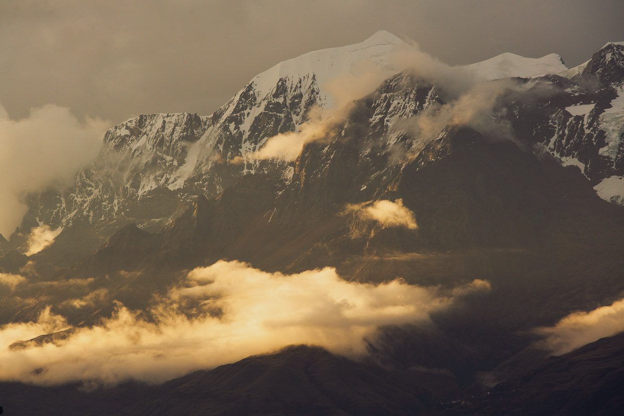
Nice travel and a beautiful morning for it. Illimani had even been peeped out of the clouds for us.
We picked up a good dirt road and sped on down to Choquecota. There’s a couple of basic tiendas there (bread) and we bought some more gasoline for our stove.
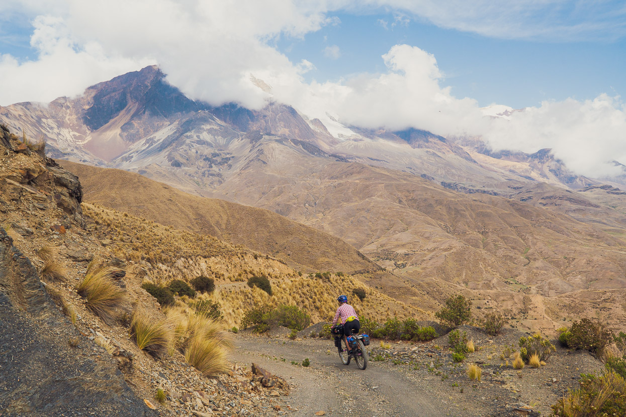
The rest of the day was spent climbing and sidling around the flanks of the southern Cordillera Real towards a planned camp right under the glaciers of the western side of Illimani. A solid headwind made the biggest climb of the day (1000m) hard work and we were happy to reach some mellower riding as we neared the mountain.
The day’s highlight was a final section of fun double track on an abandoned road.
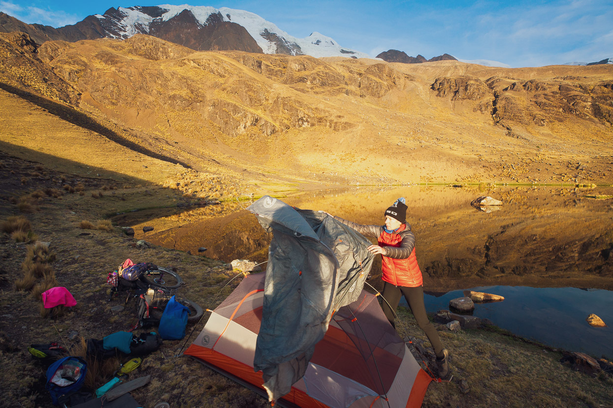
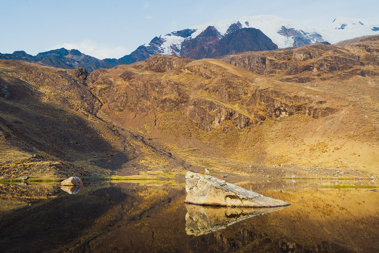
After a few hundred metres more climbing we reached a small lake that we’ scoped on the map as a decent looking spot for the night. Usually we try and plan roughly where we might camp or stay for the night, and it’s often availability of water that dictates the choice. Views are important too!
It was a good choice of spot; sheltered from the wind, a huge mountain looming over us and there was even a mobile signal. As with the previous night we were alone there in peaceful surroundings.
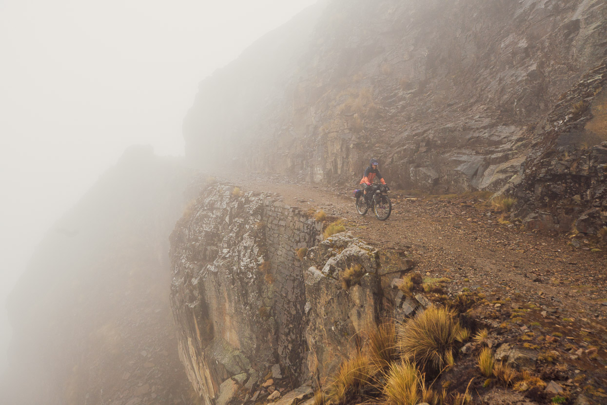
The morning dawned calm, but shortly after we started riding along a rough abandoned mining road we were swallowed by cloud and then rain and hail started to pelt down on us.
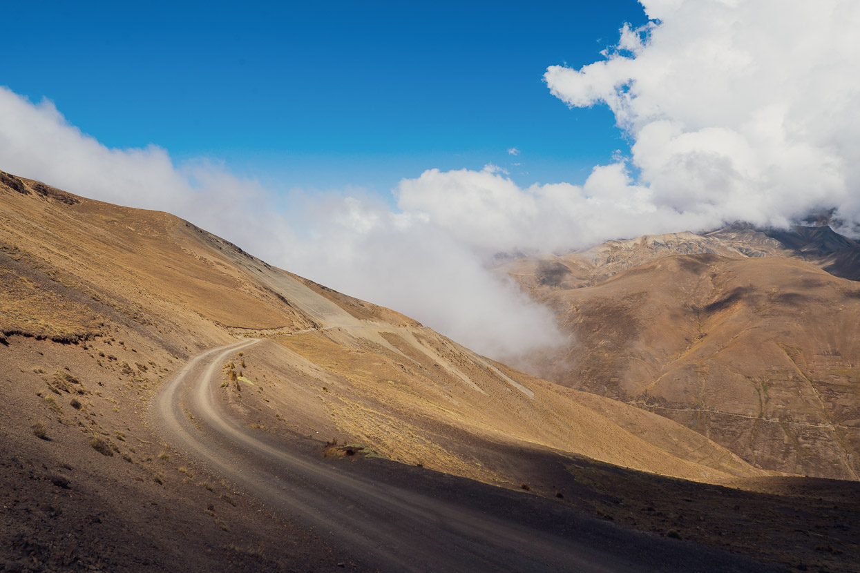
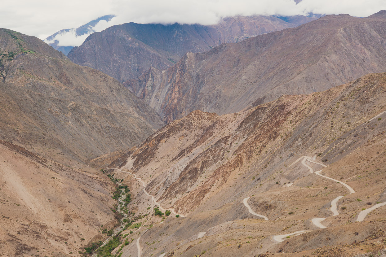
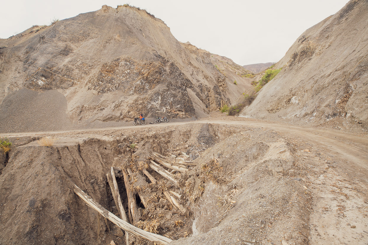
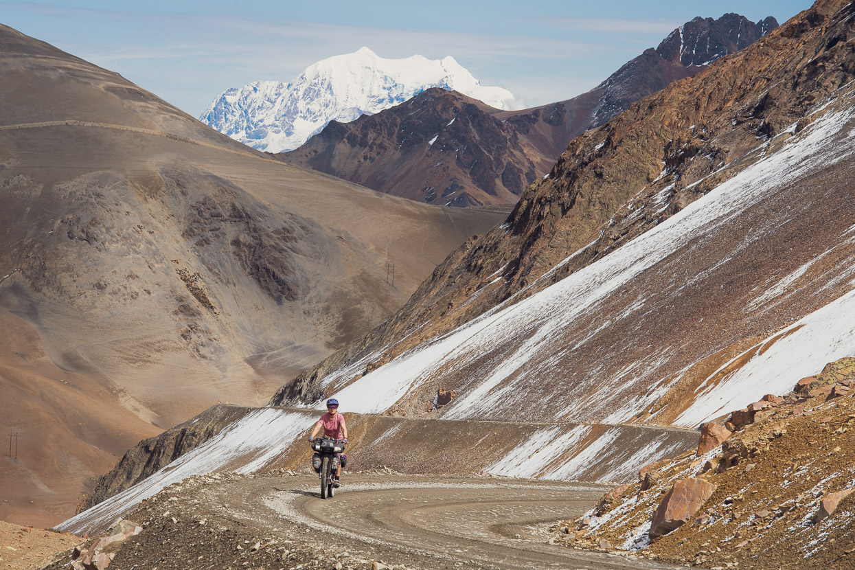
Despite the conditions, it was a spectacular section of historic road. It was still raining steadily as we began the nearly 3000m descent into the Rio La Paz canyon, which is one of the most spectacular features of the Mama Coca route. Covered in mud and still riding in drizzle, we stopped in Cayimbaya where the tienda was serving hot pasta and peanut soup for lunch – exactly what we needed in our freezing cold state.
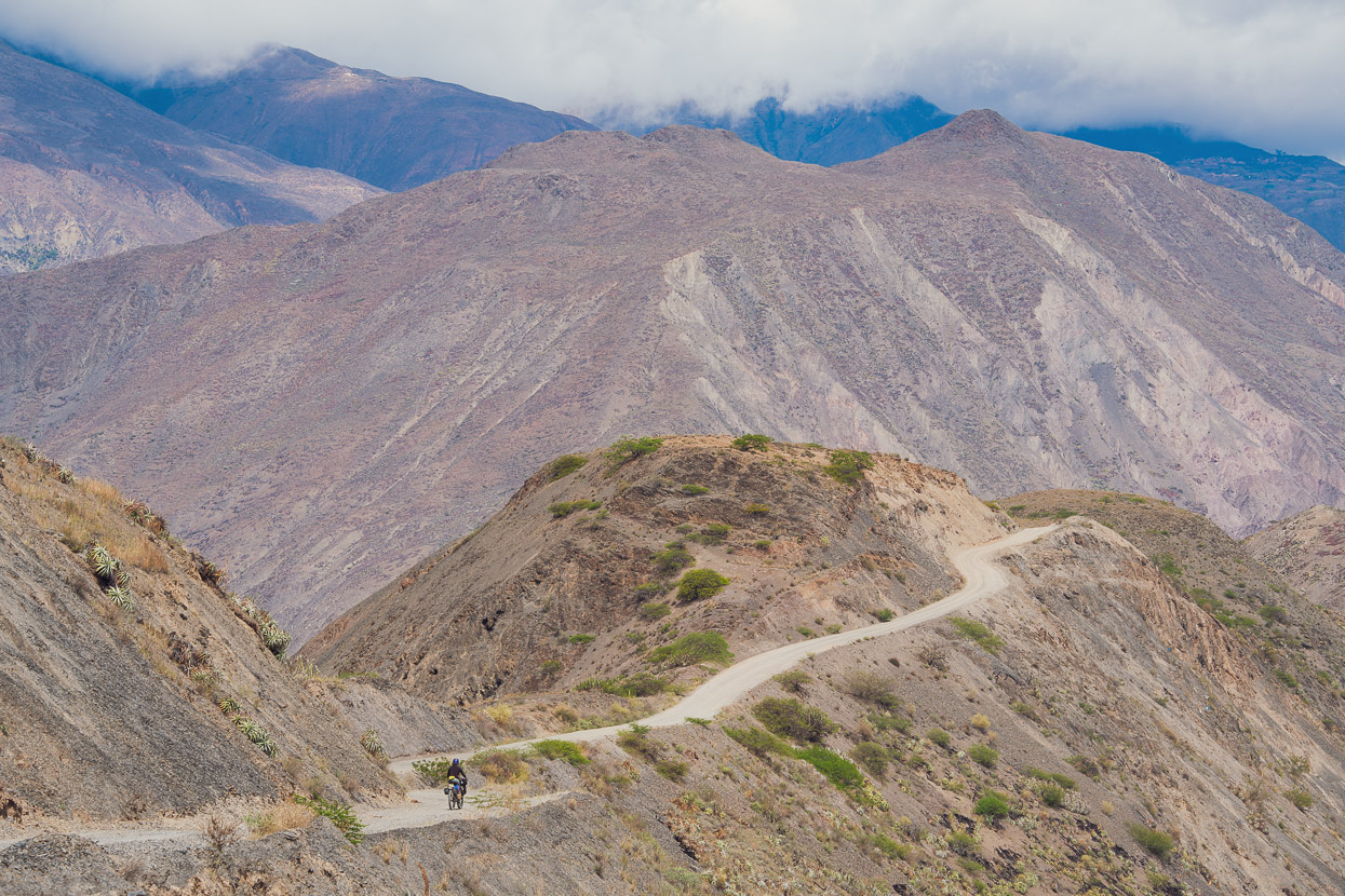
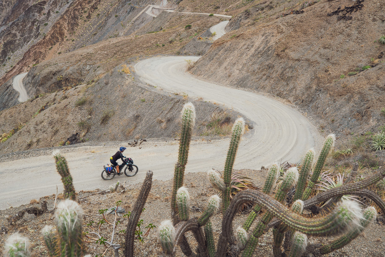
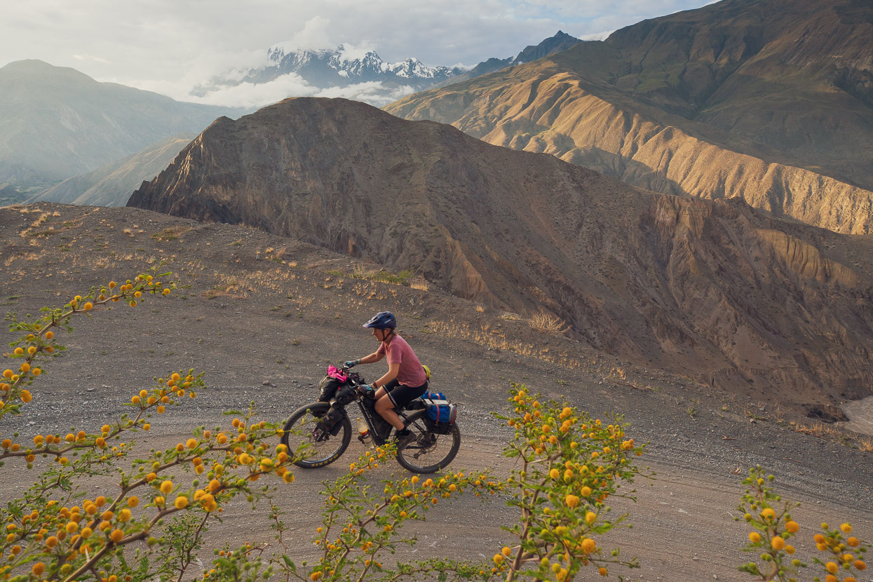
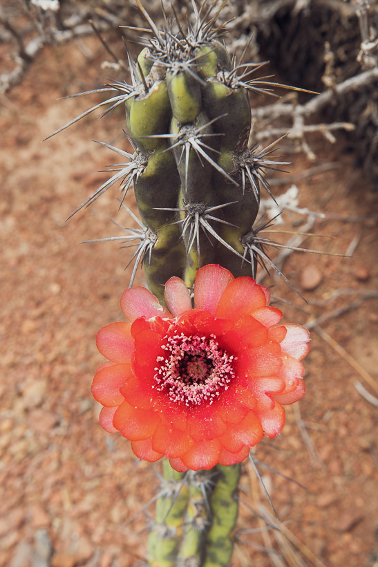
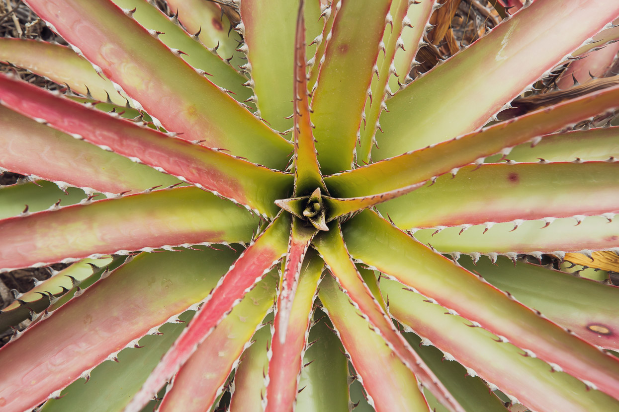
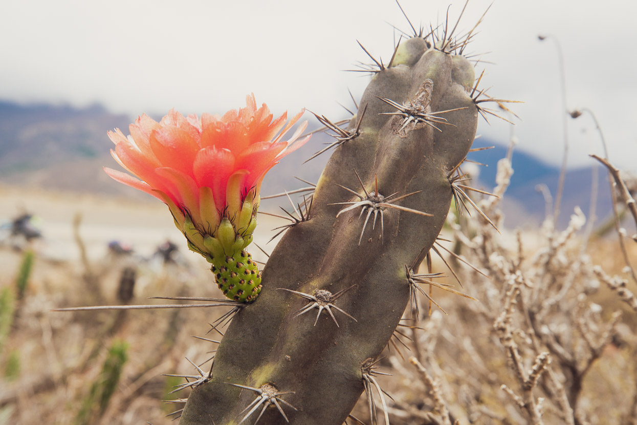
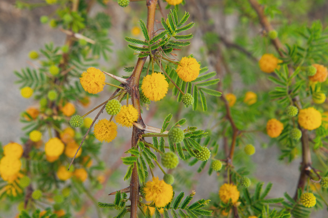
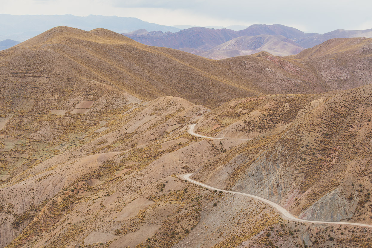
As we descended down the ever sinuous dirt roads towards the canyon the air steadily warmed, until our clothes had dried and we’d stripped back to t-shirts and shorts again. The surroundings transformed to steep, arid slopes, cactus and thorny bushes. The wind was warm, bringing life back into cold hands and feet.
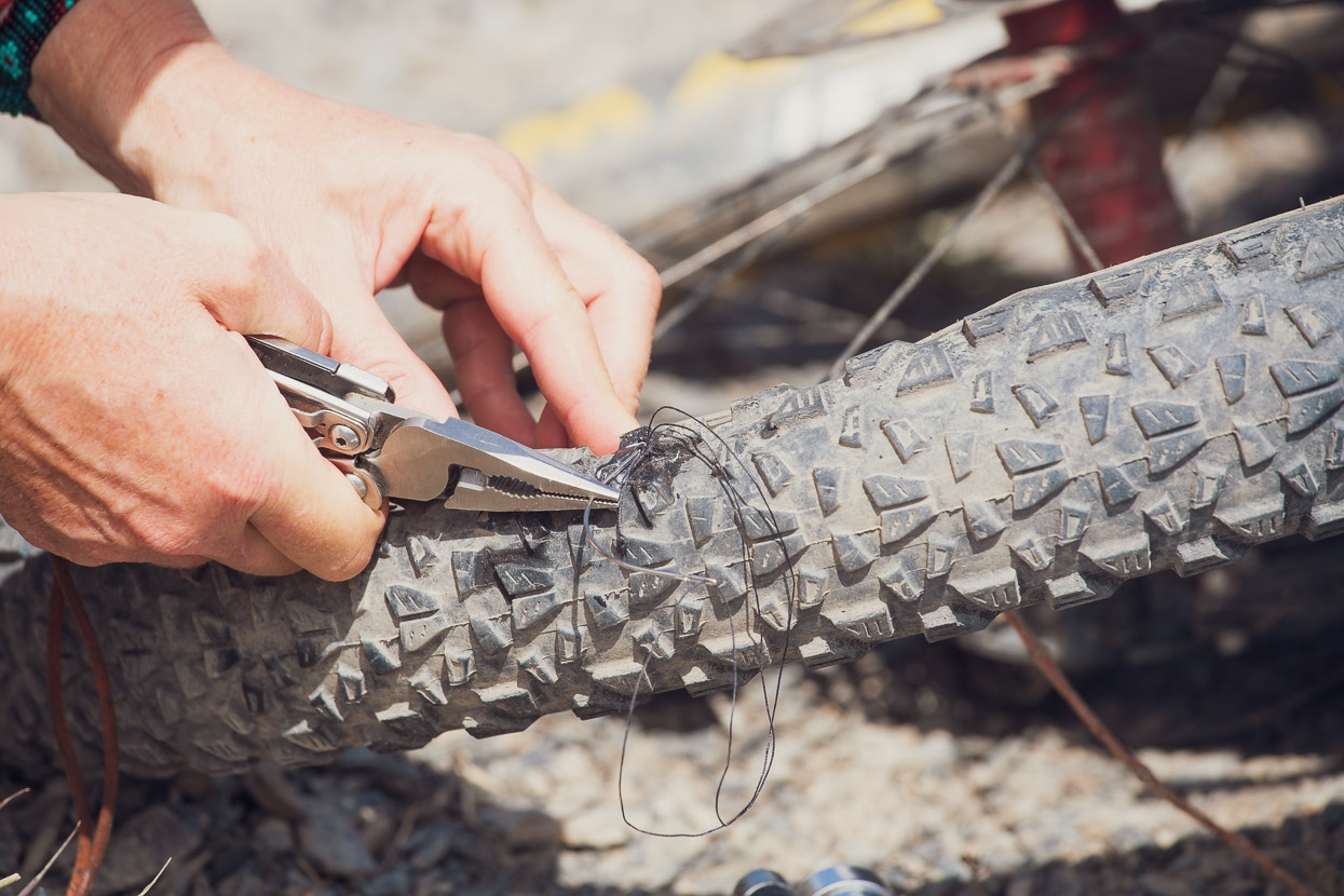
Everything was going well and we were speeding down the road when one of the razor sharp fragments of stone that littered the road put a 2cm cut in my tyre. We’ve dealt with a couple of these before, so we added some sealant to the tyre with it in-situ and then stitched the hole with our burly curved needle and Leatherman. We reinflated the tyre ok, but sealant was still bubbling out of the ends of the cut where we’d struggled to put stitches in around the tyres knobs, but after some perseverance with ‘Sides of Bacon‘ tyre plugs we managed to plug those holes as well, enough for the sealant to finally do its job and coagulate around the smallest leaks. It was admittedly a pretty sketchy repair, but it got us running again without having to put in a tyre-boot and tube.
The next day part of the seal blew out, so we had to insert yet another tyre plug, but after that it ran without trouble, even at high pressures, until we got to Patacamaya on the highway. There we went to a llanteria (tyre repair) and had a proper patch vulcanised onto the inside of the tyre. As far as tyre plugs go, we find Sides of Bacon the most versatile, as they can be used in conjunction with stitches, or in tandem with one another, unlike the plugs with a needle tip. Note that we don’t use the special insertion tool, we just poke them in with the screwdriver on our Leatherman, or for very small holes, a tiny allen key.
With air back in the tyre finally we sped on down the mountainside towards the canyon floor.
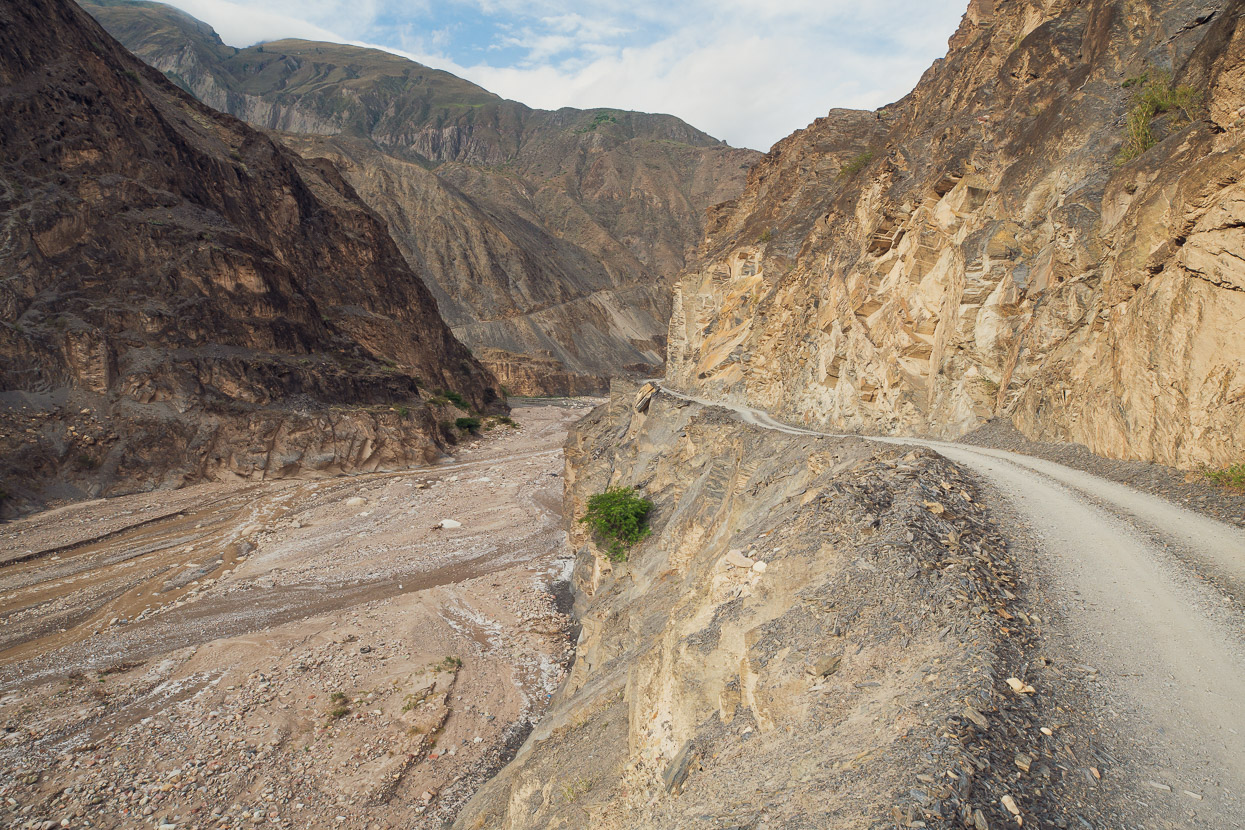
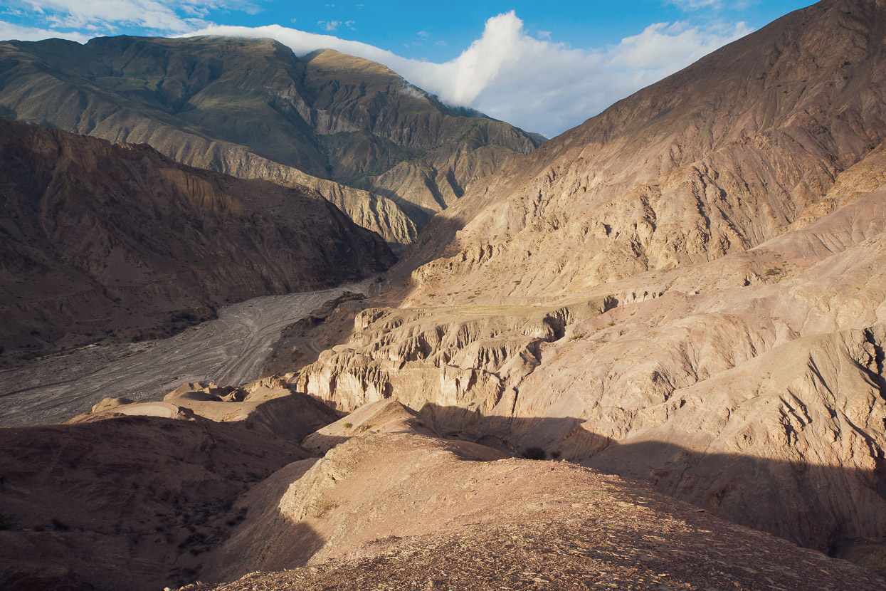
We filled our bottles and water bladders to capacity from a stream just before entering the main canyon (the last water until lunchtime the following day). In the bottom of the canyon we crossed the Rio La Paz, which flows into the Amazon basin, on a concrete bridge. The river flowed fast, dark brown in colour beneath the bridge. A gusty hot wind blew, kicking up clouds of dust from the bone dry road verge. These South American canyons never cease to impress us; the way you can drop from the alpine zone so quickly into a place so utterly opposite and challenging in a different way, with unrelenting heat, lack of drinkable water, crumbling stony walls and hostile plants.
We’d seen the same river in the city of La Paz, where an infant version of the river we could see here basically serves as the city’s sewer. It’s mostly built over as it flows through the city from the Andes above, but emerges towards Zona Sur. There the river sadly flows in a concrete channel, darkly coloured and foamy with residential effluent, sewage and the scum of the city. We’d seen the same polluted rivers in Bogota and Quito — in fact you can usually smell them before you even see the water. So despite our spectacular and daunting surroundings on the canyon floor the sight of the hideously polluted river was a sad one.
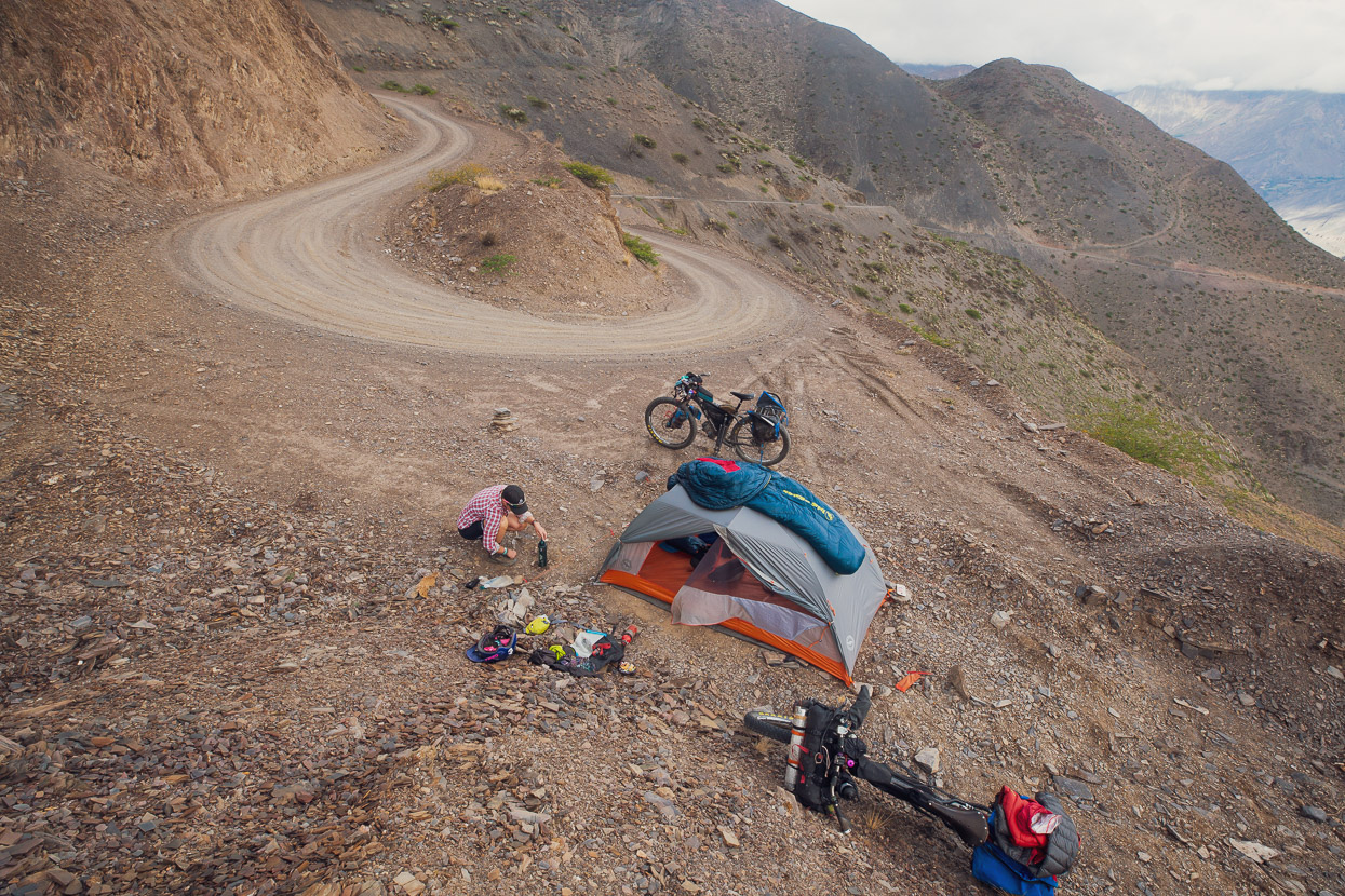
In nice late afternoon light we began the long climb out. Over the following two days we’d be climbing all the way from the canyon floor at 1700m back to over 5000m before we rode out of the mountains. That evening we rode a bit over 500m up the side of the canyon and camped on a flat area on one of the hairpins. In a place like this flat campsites are a rarity and we were lucky to find the spot just before dark.
Now on the opposite side of the canyon and higher up, we had a beautiful view back across to Illimani.
The morning brought cloudy skies, which was a relief considering it was already really warm and with so much climbing above us.
Amongst the drab canyon colours, the vivid colour of flowering cactus and other hardy desert plants stood out.
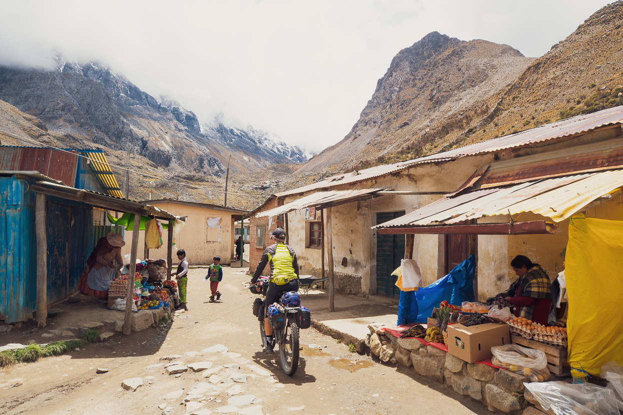
Eventually we reached the outpost town of Torre Pampa at 2780m. This is quite a nice spot right on the margin of not-too-cold and not insanely hot. Banana palms grew in the plaza and after some asking around we discovered another part of the village (called Tucurpaya on OSM) with a second plaza and some reasonably well stocked tiendas that even had ice cream!
After Torre Pampa the mostly friendly grades that we had climbed from the canyon floor steepened considerably and it was a tough climb another 800m higher up to Machacamarca Alto, where we spent the night camped on a grassy field on the edge of the village. A local chap came and talked to us for a while, before walking off and then reappearing soon after with a lettuce, tomatoes and some fresh bread for us. After nearly three months in Bolivia he was the first local to gift us food.
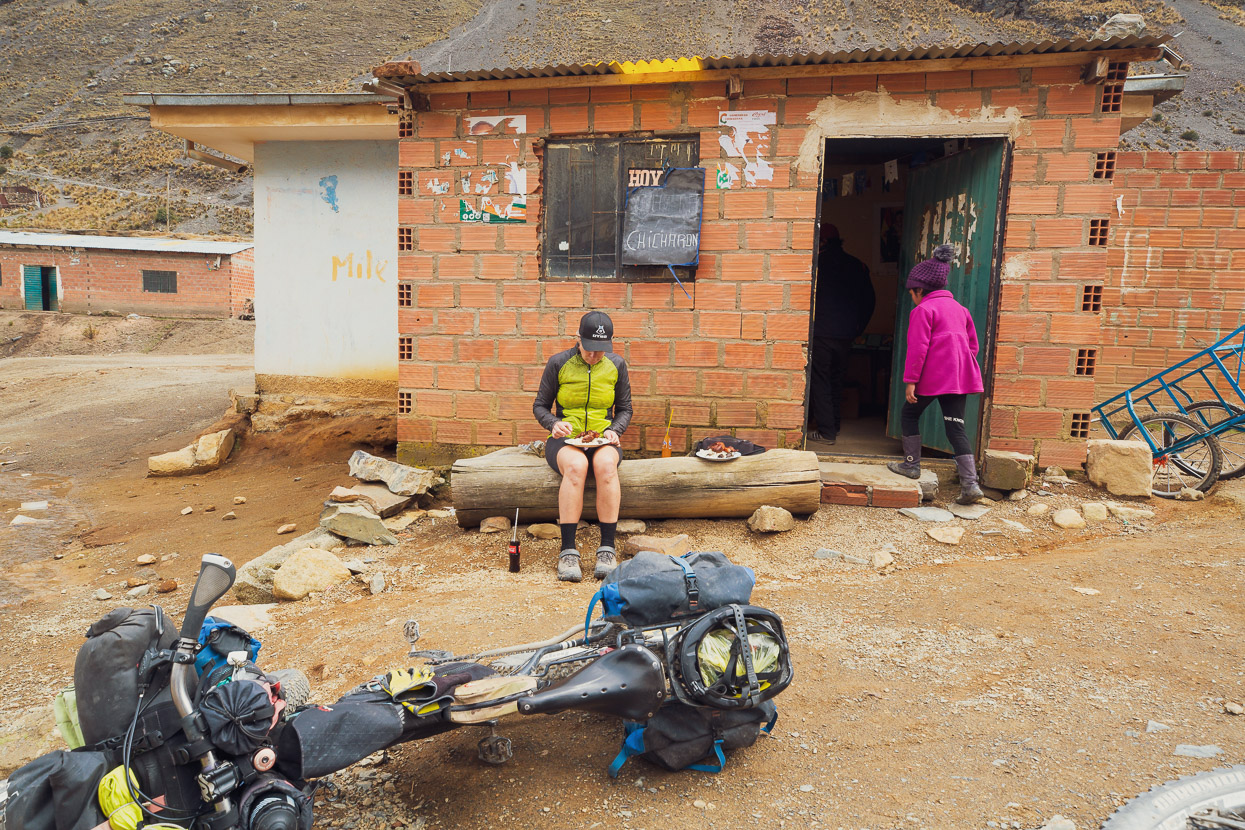
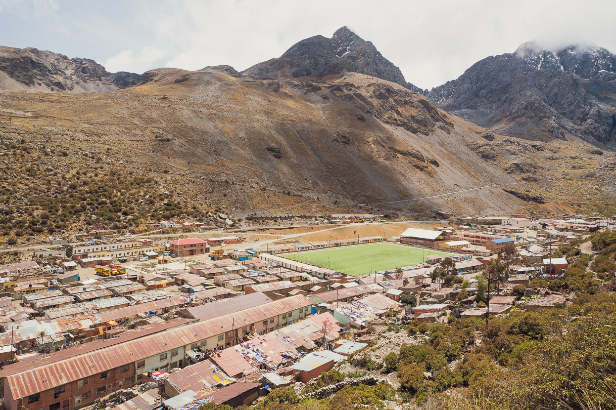
The theme of the canyon ride continued in the morning with a solid climb up to the sprawling mining town of Viloco at 4300m. We ate an early lunch of chicharron there and stocked up on a bit more food for the last couple of days.
The Viloco mines have been active since the 19th century, having their heyday in the 1920’s. These days around 250 miners are employed here mining mainly tin, I gather. Apparently the mines are world famous in the mineral collecting sphere, due to their abundance of casserite crystals (look them up in Google).
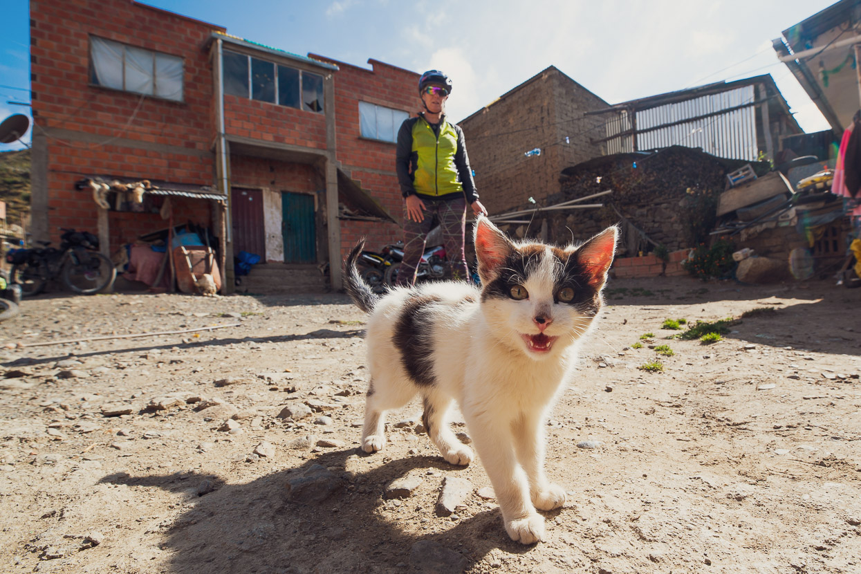
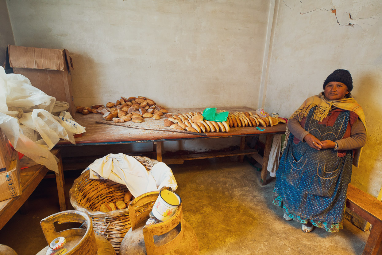
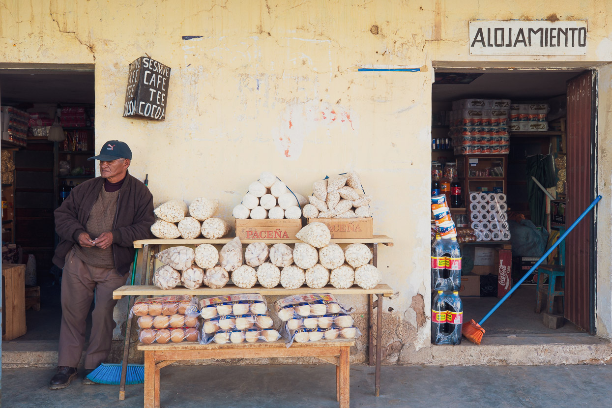
Viloco was also a chance to stock up on fresh bread. I like that it’s a standardised price for a bread roll wherever you are in the country. It’s always 50 centavos a roll (roughly 11 NZ cents).
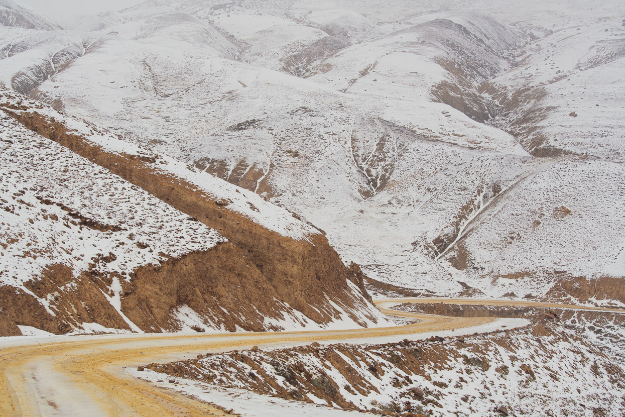
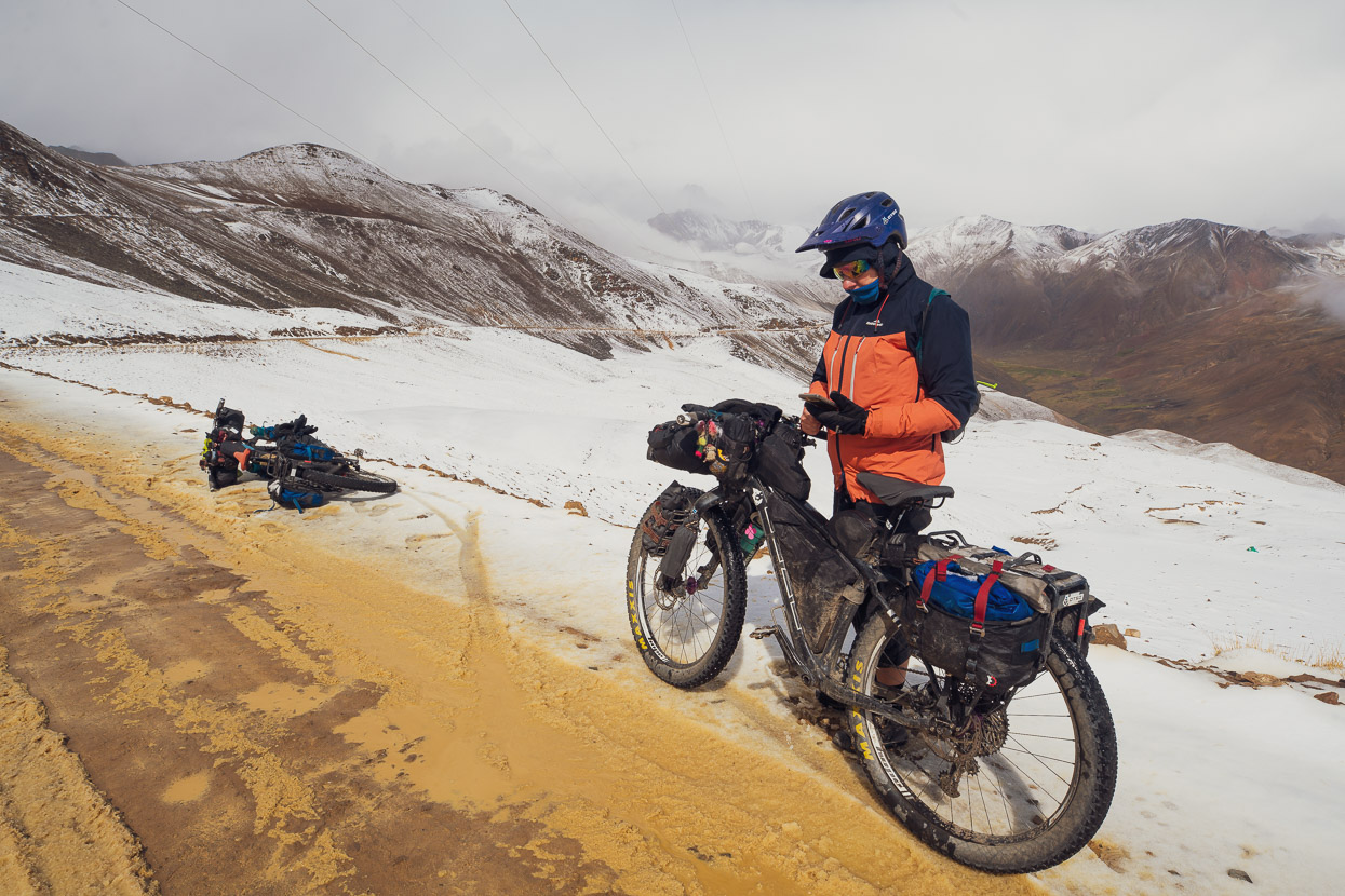
Aside from a short undulation, the steady climbing continued out of Viloco and we were firmly back in the high alpine zone now. A fact that was rammed home when a heavy afternoon storm set in covering us in first hail and then snow as we climbed up the road. Just before the pass at 4850m we met two UK northbounders on the route (Louise & Joseph). The snow had just stopped so we chatted for a while on the side of the road. This couple are the only other pair of cyclists we saw on the whole Mama Coca route.
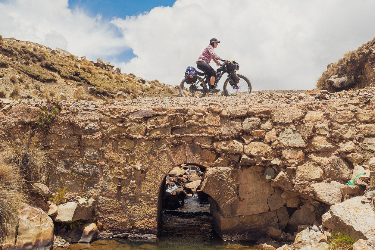
As you do riding in the Andes, we dropped a few hundred metres, and climbed a few hundred more, this time in post storm sunshine.
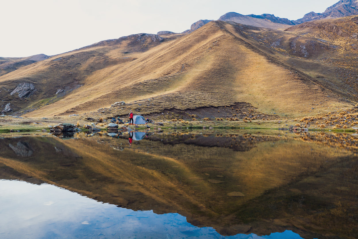
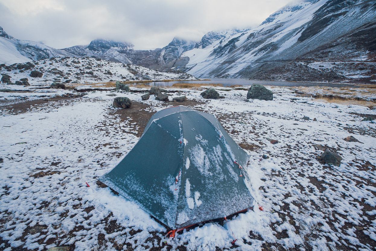
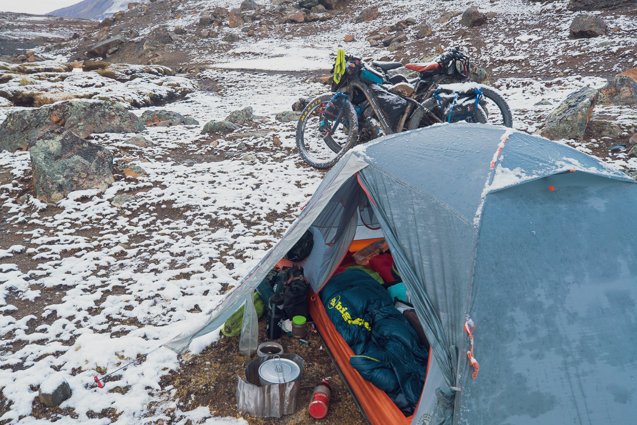
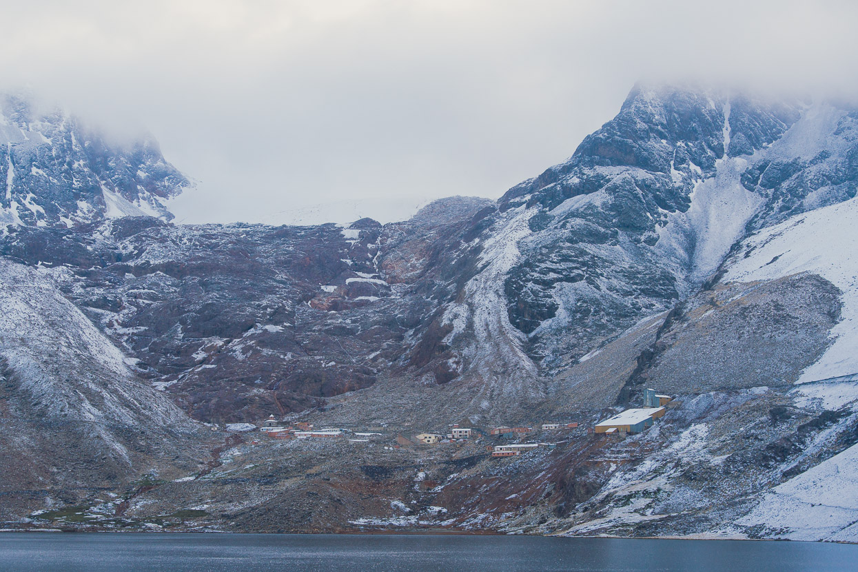
And then we dropped again, this time in a chilling fog, down towards a lake that has a partly abandoned mining complex at its head. We talked to a couple of staff there and filled our water bottles (tragically all the water in the immediate area, including the lake, is contaminated), before dropping down a side road to a pleasant campsite at the lake outlet. We were glad to have sussed this out as a possible campsite ahead of time as visibility was down just a few metres, it was nearly dark and had started snowing again as we set up the tent in a frigid wind.
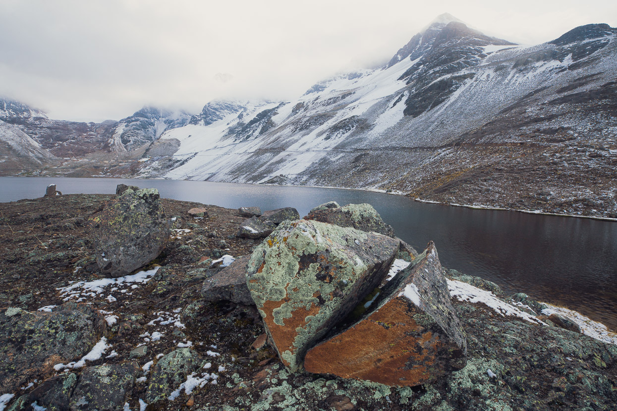
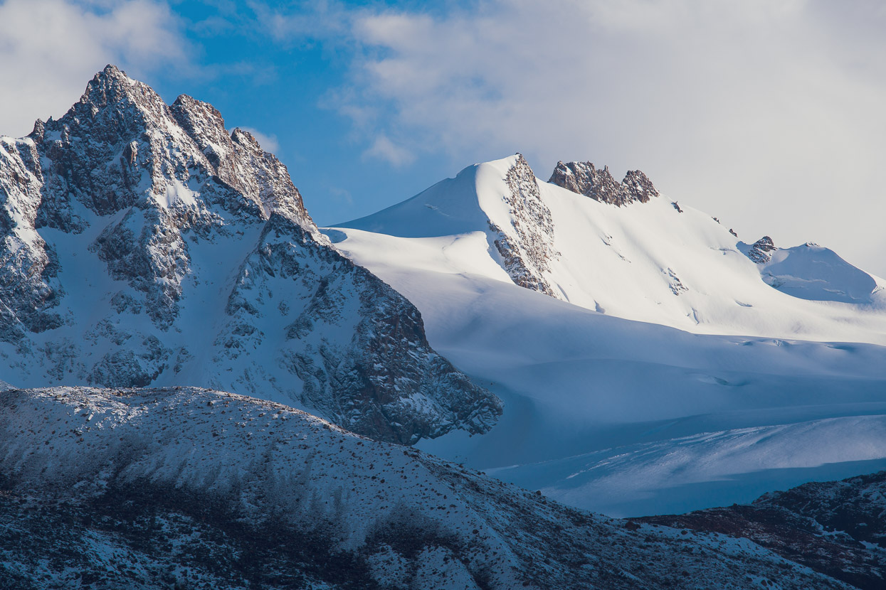
We woke to a cold grey dawn, but somehow the ambience suited this stark place. A breeze rippled the lake and the rusting remains of the mine seemed to partly blend into the stark moraine covered mountainsides. Standing on a glacier polished dome of rock above the lake I felt like I’d been transported to some Antarctic outpost.
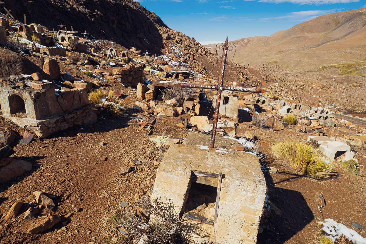
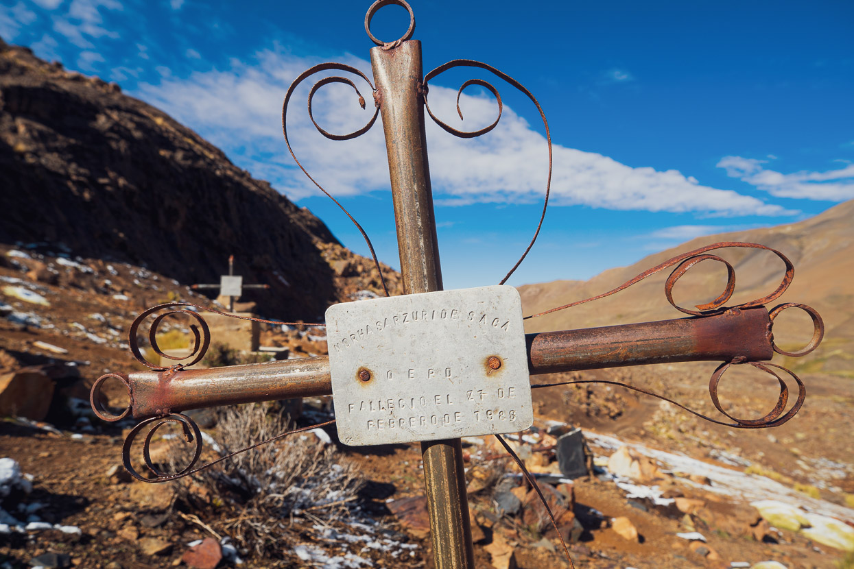
By the time we’d packed and begun riding the sun was out. We stopped to check out the decaying remains of a miners cemetery, the concrete tombs and iron crosses scattered over a steep hillside.
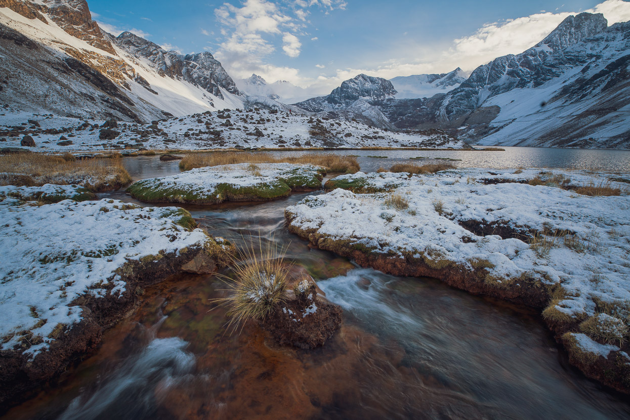
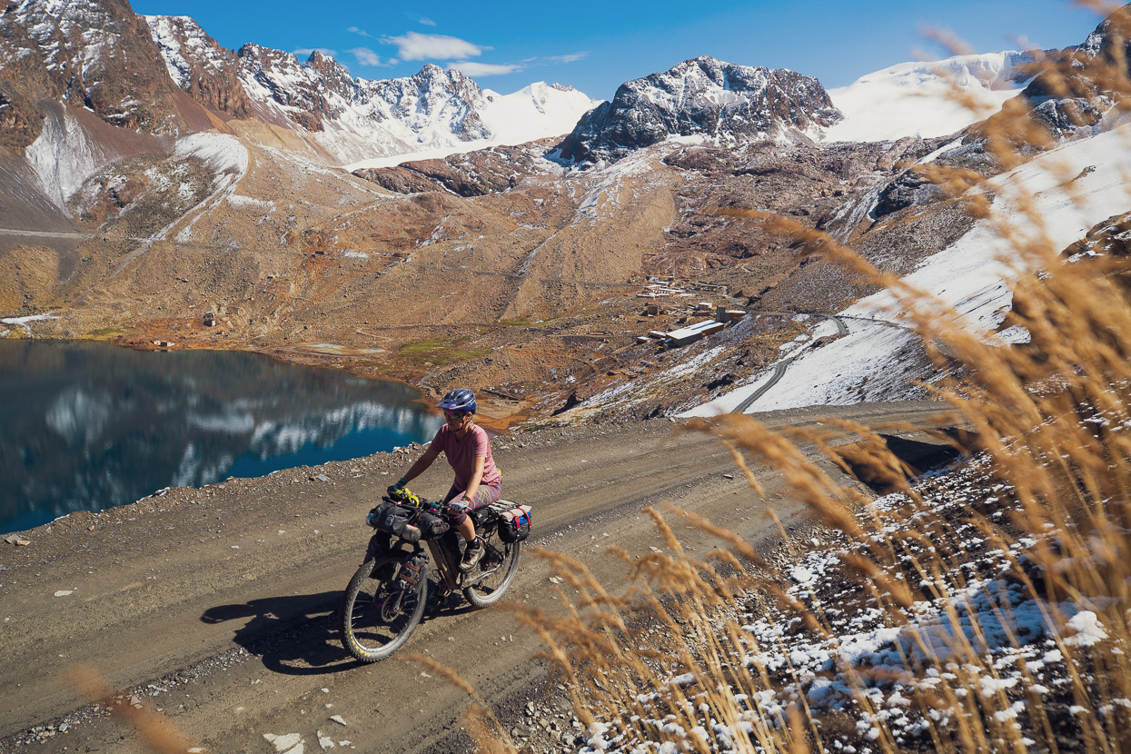
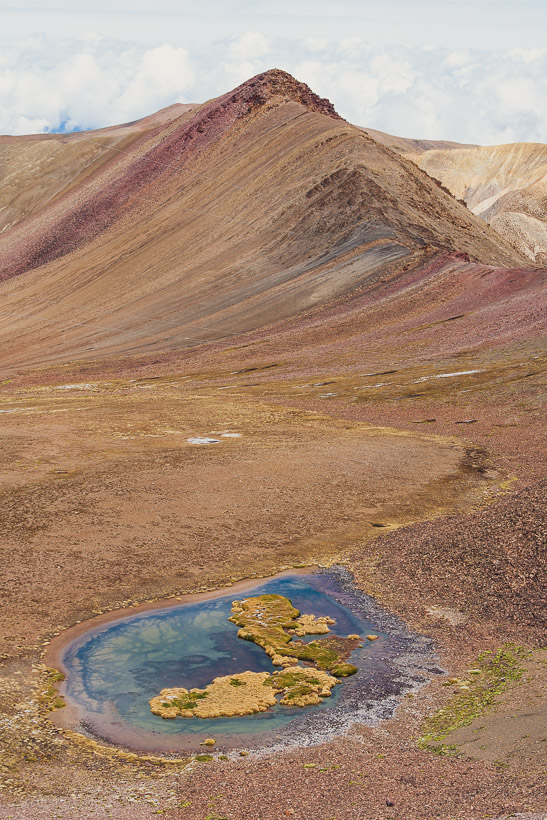
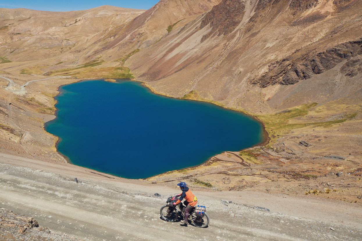
This was our last day on the route and we had great conditions for the day as we passed more small mining settlements, mineral rich hillsides, villages and vivid green-blue alpine lakes.
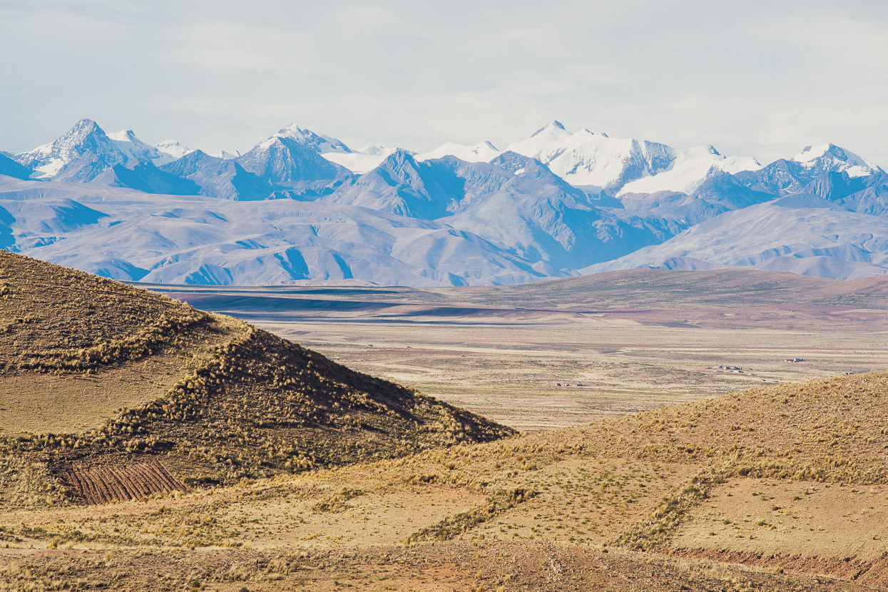
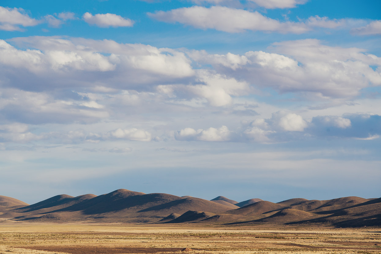
Eventually we started to ride out of the mountains and the landscape transformed once again as we neared the grasslands of the altiplano.
We reached pavement and a brisk tailwind helped us along as we pedalled out to the carretera principal, turning often to look back at the ranges we’d left behind.
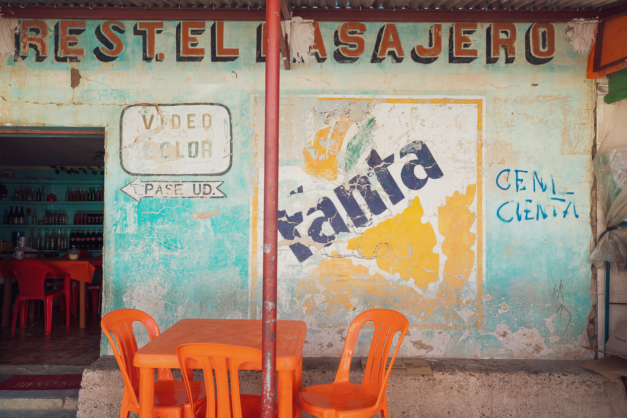
Soft hills and nice light were a nice finish to the day as we rolled on quickly towards Konani, where we spent the night in a typically scruffy hospedaje and ate dry fried chicken for dinner. We were exhausted, so we didn’t really care that food was awful. A hot shower was luxury enough.
The next day we rode 48 easy highway kilometres to Patacamaya where we found a reasonable hospedaje to leave the bikes locked up for two nights while we returned the same day to La Paz (1hr 30 min by colectivo to El Alto) to rest and collect the rest of our equipment, which we left behind (wisely) to save weight for the hike-a-bike and steep climbs.
After our short city-break in La Paz we returned to Patacamaya by colectivo and then left late in the afternoon, headed east towards Volcan Sajama and Chile, which will be the topic of the next post.
Thanks for reading, more soon.
Do you enjoy our blog content? Find it useful?
Creating content for this site – as much as we love it – adds to travel costs. Every small donation helps, and your contributions motivate us to work on more bicycle travel-related content.
Thanks to Otso Cycles, Big Agnes, Revelate Designs, Kathmandu, Hope Technology, Biomaxa and Pureflow.






Great to hear Hana has recovered well and nice last ride to farewell Bolivia