Visiting the Icon of Inca Civilisation
There is much exposure afforded to so many of the world’s most ‘Instagrammable’ destinations these days. Consequently it’s easy to build your expectations too high, and I think to become a bit jaded about one’s reasons for seeing these places in the first place. Especially when a visit can mean jostling elbows with other tourists, paying high ticket prices and abiding by strict opening times or rules.
But I’m happy to report that for us Machu Picchu really did live up to its reputation as a bona fide ‘wonder of the world’. I must admit, after arriving in Santa Teresa after a testing crossing of the Salkantay Pass and with so much more to come on our route to the Amazon, I wondered if we should even bother; considering we’d be returning with Hana’s mum in a few weeks, in more conventional tourist mode. Neither of us actually voiced our thoughts to one another prior to visiting and so we dutifully went ahead and booked entry tickets for our chosen day. A trip to Machu Picchu is probably some people’s most ambitious bucket list item, while for us at that point it felt a bit like another tick in the notebook.
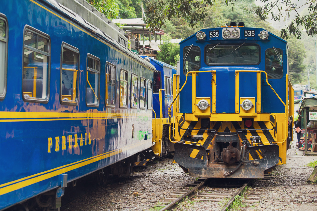
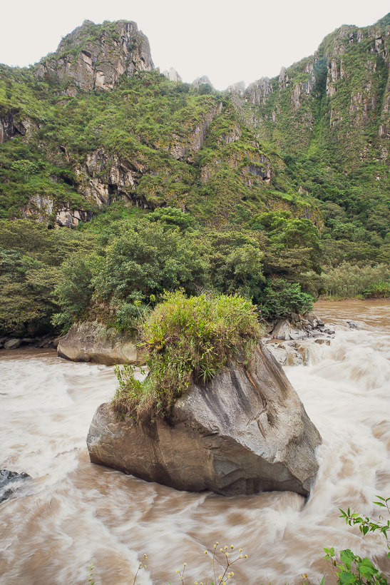
We spent our morning in Santa Teresa eating, and sourcing and installing a replacement for my broken brake lever (see previous episode). But by 2pm we were on our way to the hidroelectrica on our bikes. The hidroelectrica is the HQ of a hydroelectric scheme, the end of the legal road, and the railway station for independent travellers entering Machu Picchu via the ‘back door’ (most people come by train from Cusco or Ollantaytambo). It was after the first 30 minutes on the way there via the winding gravel road, as we entered a deep gorge, with the boiling rapids of the Rio Urubamba thundering past, that I began to actually get excited.
Like a tropical downpour it came home all once to me how long we’d had Machu Picchu filed away as a must-see destination and a milestone of the journey south. For nearly three years in fact. And as the white Sprinter vans – tourists dozing inside – sped past, billowing clouds of dust behind them, it hit me just how far we’d come – under our own power, with every dogged pedal stroke, to be here now, so close. 37,000 km from the Arctic Circle to Machu Picchu is a long way to travel by any means. I was excited that we were now closing the deal, and still under our own steam. Just a two to three hour hike along the railway tracks, an early start and a steep 500m uphill hike and we’d be there.
We stored our bikes securely at the small parking area at the hidroelectrica, making a point of being extra nice to the guy who stored them right in his office. He and Hana stood outside the ramshackle collection of buildings and looked at my pile of stuff — lenses, drybags, spare batteries and other accoutrements and clothes — still on the ground.
Hana was ready to go. She turned to the security guy and exclaimed, ‘El nunca esta listo!’
He laughed good naturedly.
We filled our bottles for the two hour walk and walked off down the road at a quick pace. Sunset was only an hour and a half away.
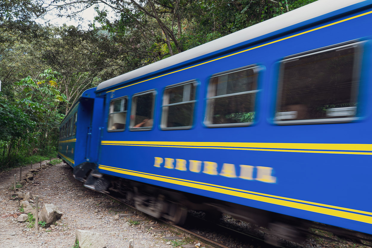
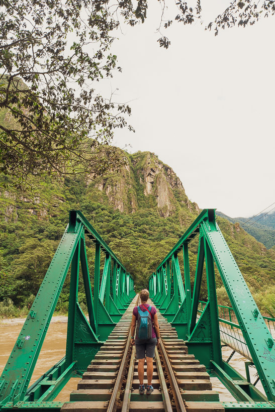
From the hidroelectrica the route to Machu Picchu follows railway tracks that serve the only transport access to the town of Aguas Calientes, below the ruins. There is no road. We joined various others making the late afternoon hike, a random bunch of people; some uncomfortably carrying their overnight belongings in plastic bags or small wheelie suitcases. Others were practically attired in hiking boots and with big backpacks. Now and then we passed tired looking folk coming the other way. They’d made their visit to the sacred site and now had to bash out the return hike, cold cerveza probably on their minds.
The route follows a discontinuous footpath right alongside the tracks for 11km. Sadly bicycles are banned, and have been for some years. The authorities cite safety concerns as the reason for the ban. But it’s quite ridiculous: if you can walk safely in a group along the tracks (as many people do), why not ride a bike?
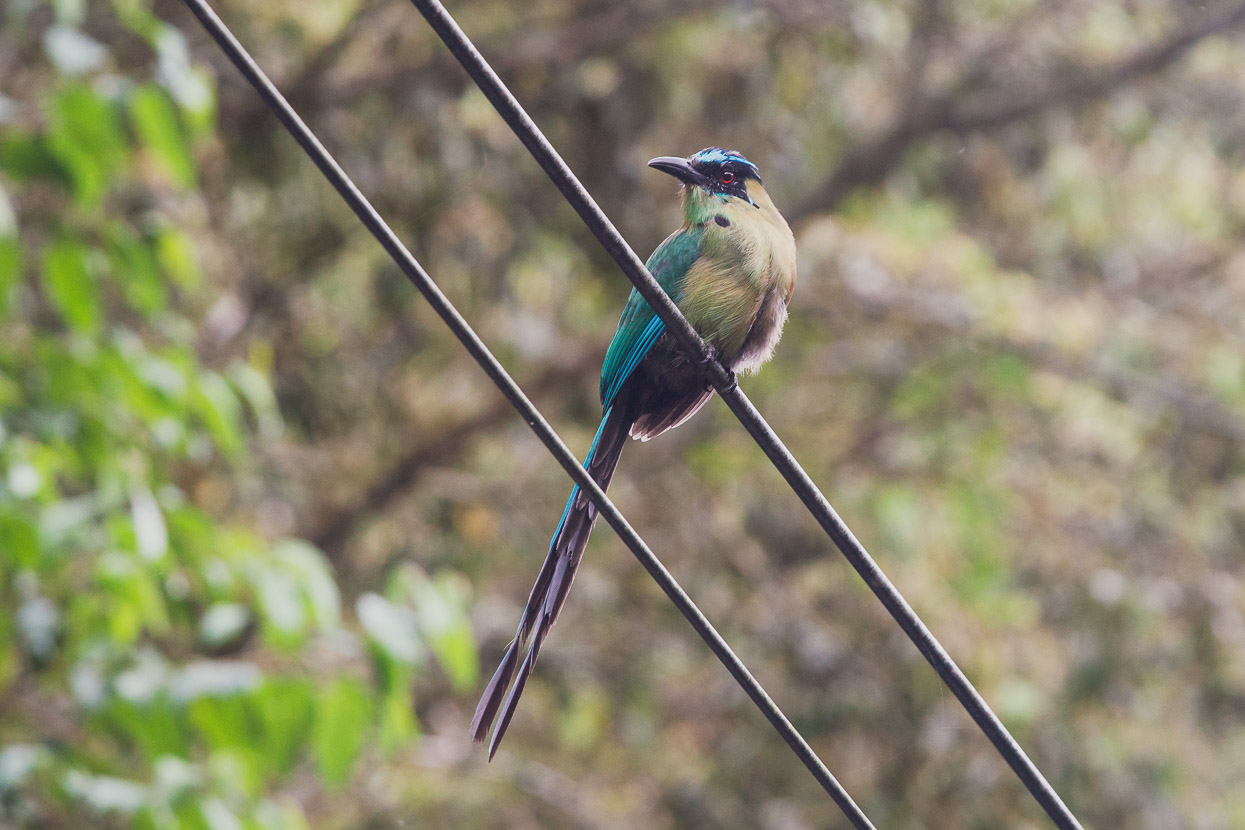
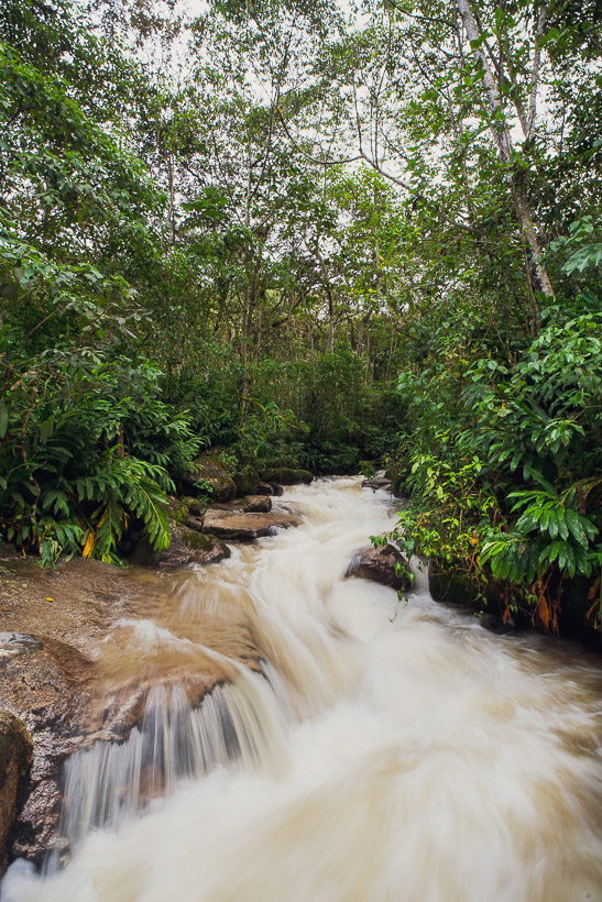
As far as walks alongside railway tracks go, it’s a pretty good one! The tracks lie deep in the bottom of a canyon, both sides of which are covered in thick virgin forest, rich in ferns, bromeliads, birds and rushing tea-coloured side streams.
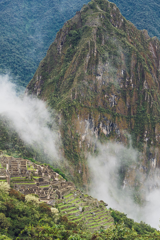
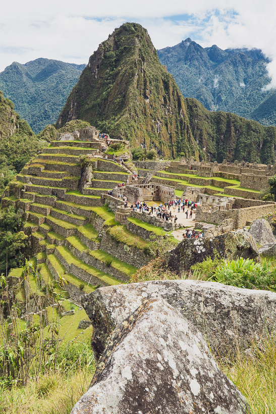
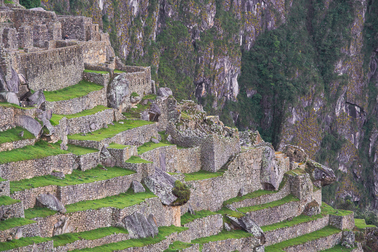
After an hour or so we caught our first glimpse of Machu Picchu high above us. Not much; just the edge of some of the famous andenes (terraces), but it gave us our first appreciation of the spectacular position of the site, hundreds of metres above the Rio Urubamba.
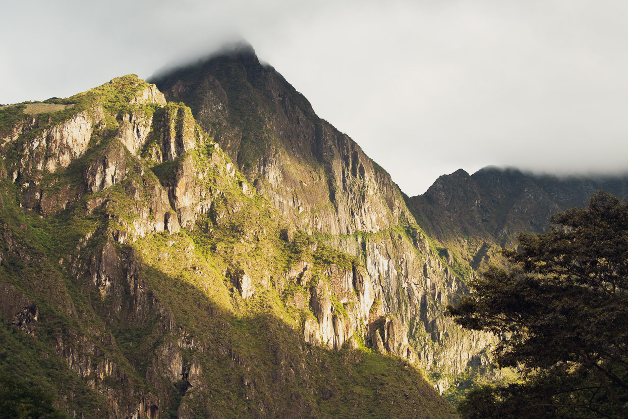
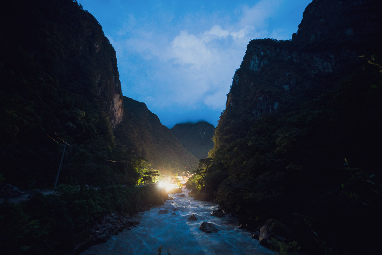
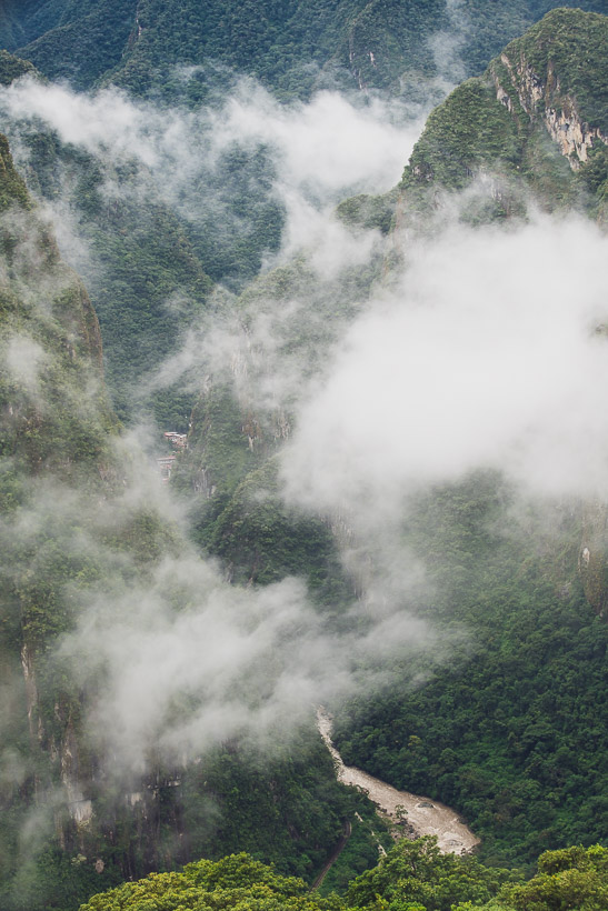
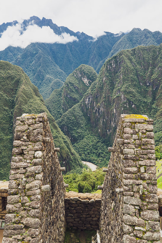
The valley fell into gloom as the sun set and soon we were walking in the dark; passing other in-bound groups and other out-bounders passing us. We rounded a bend and saw the lights of the town ahead, which almost came as a surprise after so long walking in a deep canyon. As we’d walked the canyon had narrowed and by the time we reached Aguas Calientes the steep walls really tower above you. It’s a bit like a cross between Yosemite Valley and New Zealand’s primal Darran Mountains, which like here are heavily vegetated.
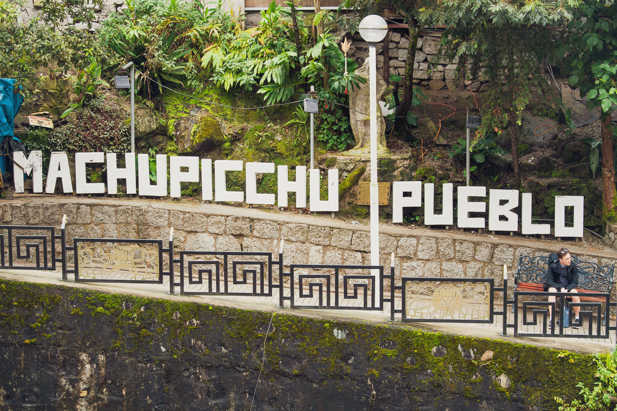
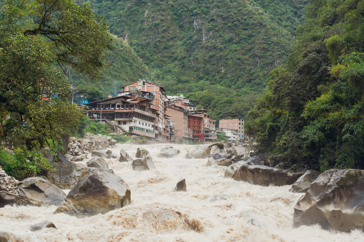
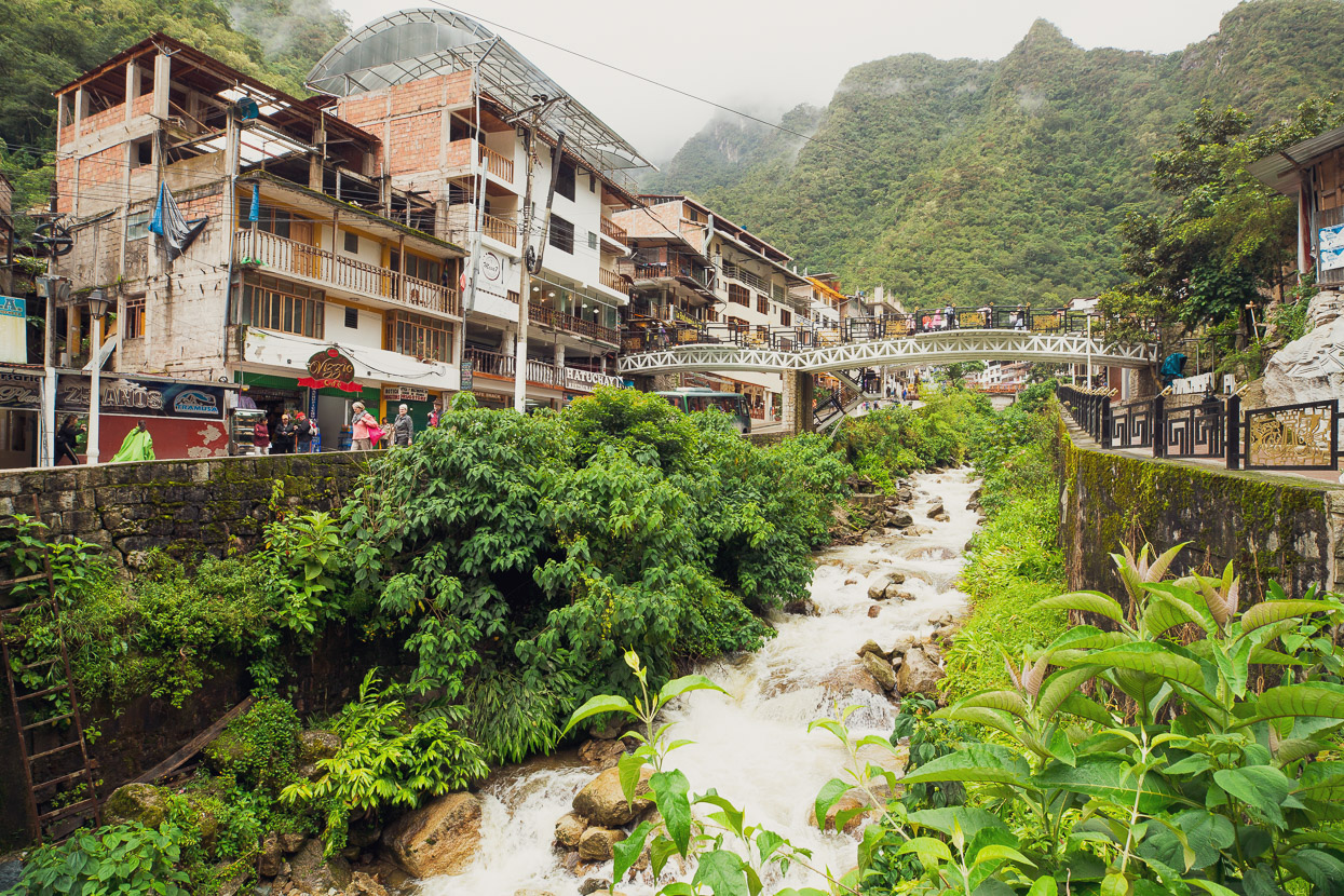
The previous three shots are from the following afternoon, but give you an impression of Aguas Calientes. I saw a photo of this place in a restaurant a few days ago. It was taken in 1936 and shows one small wooden hotel and couple of shacks. These days Machu Picchu Pueblo, as they crassly call it now, is a very busy agglomeration of hotels, restaurants, services, souvenir stores and every tier of tourist you could imagine. It’s there for one reason only; to serve the up to 5000 visitors a day this place receives.
My tone might be cynical, but it’s actually a pretty interesting place. One of the remotest service towns I’ve ever seen — served only by train — and surrounded by verdant cloud forest, while the Rio Urubamba roars past incessantly, creating a white-noise background to the unique vista of this place.
It was well after dark by the time we found our musty smelling hotel room so we dropped our kit and went to eat, which in Aguas Calientes can be a bewildering experience because there is so much choice. By the time we finished eating it had started to rain steadily, which was a worry, given we were getting back up in just a few hours time at 3.30am. The early start was to have time to eat and down a coffee before making the hour and half night-hike to the entrance in time for opening at 6am. We wanted to beat the crowds!
We slept badly. The rain poured all night, beating on corrugated iron roofs and cascading down the light shaft outside our room. But we’d booked our day and this was it. We dry bagged everything, donned our Gore-Tex and walked out into the rain soaked streets. A few other people were up too, walking down the road to the entrance and looking sorry under their disposable plastic ponchos.
After half an hour we turned off onto a steep hiking trail that climbed up through the forest. There was torch light ahead and behind. The rain had eased to a steady drizzle but the forest was soaked and water ran down the steep granite steps that we were steadily climbing. We climbed uphill like it was a time trial, determined not to be passed and hoping to get a good spot in the entry queue.
In foggy twilight we emerged from the forest at the entry area to see one other poncho-cloaked figure walking up the gates. We were amazed: second in line!
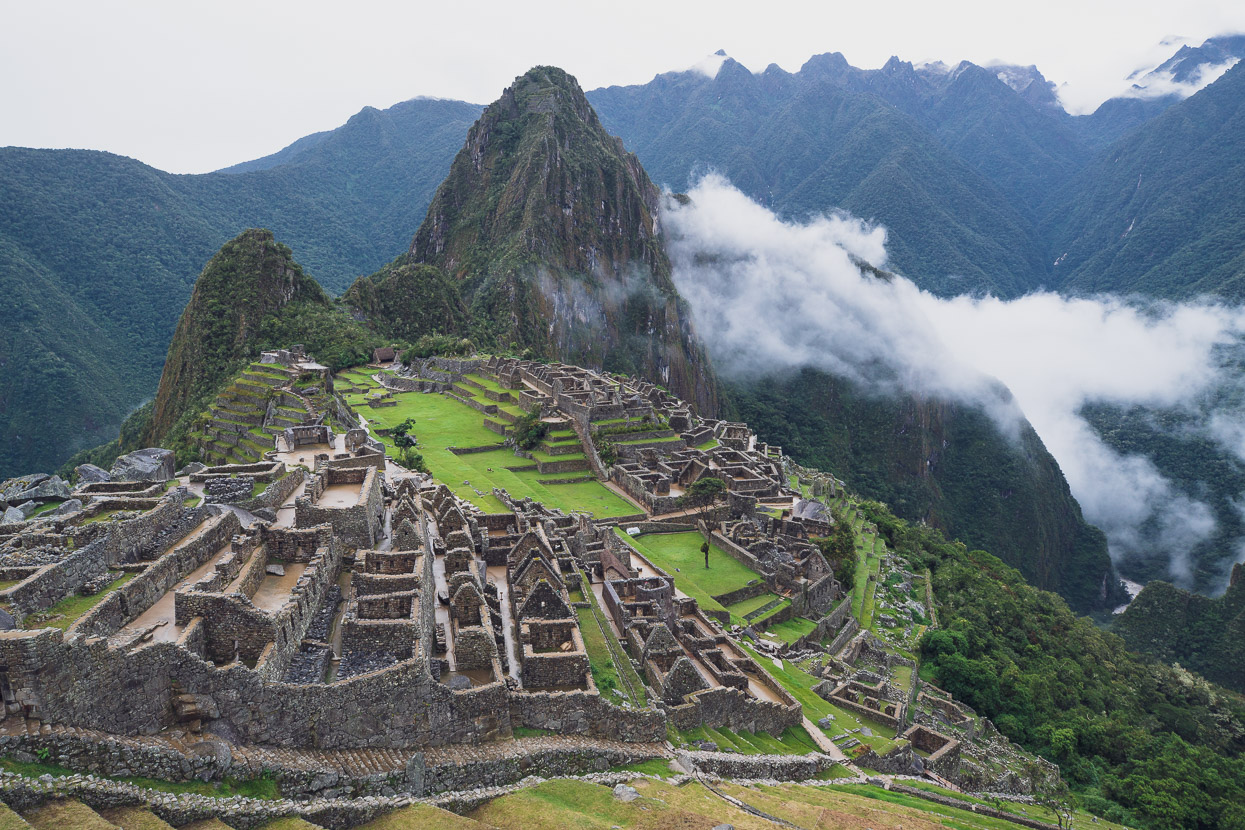
We waited about 15 minutes until the doors opened at 6am, while the drizzle eased to a damp mist. A switchbacked path and some steep steps led uphill until we could walk out along a terrace and view the full scope of the site from above. We felt like we were among a privileged few: those who had made the commitment and effort for a dawn visit — the long hike in pouring rain. I imagined that perhaps we were seeing the site a little closer to how it would have been in the twilight of its apogee: mostly abandoned but still resplendent with the creations of its people. We couldn’t believe the rain had stopped.
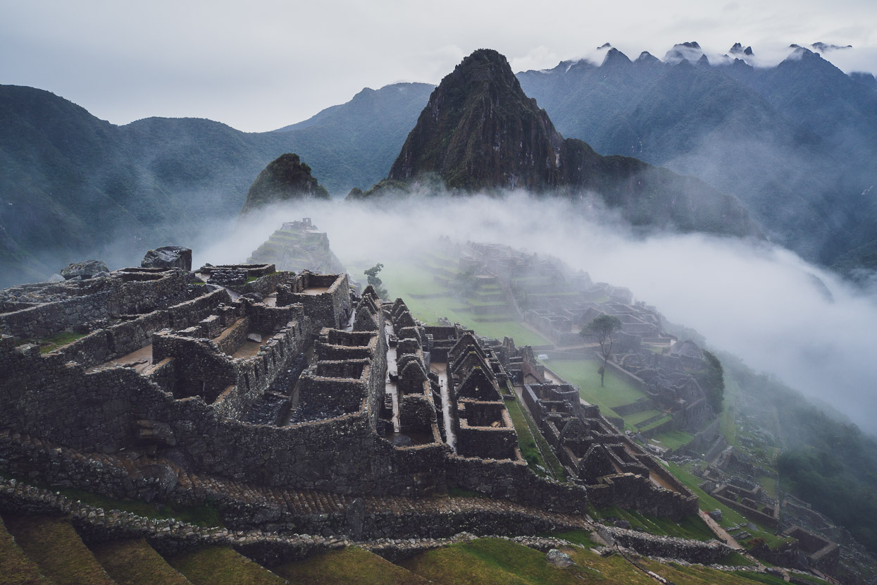
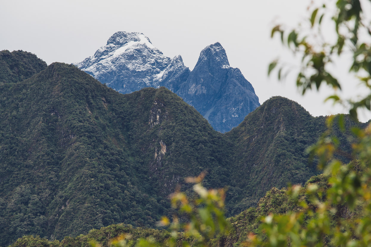
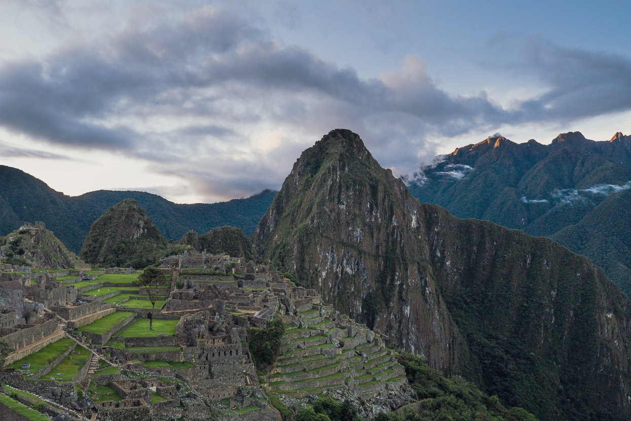
The scene was full of atmosphere and motion, as the cloud swept and wafted through the saddle and about the peaks. I got all at once what makes this place so famous. The location is peerless. If the lofty position of the citadel on the ridge below the steep peak of Huayna Picchu weren’t enough, the scene is then framed by layer upon layer of precipitous forest covered ridges, with a few still ice-capped peaks beyond. It’s as close to perfection as any conceptual illustrator could create.
The view came and went for a while, at times totally lost to the heavy damp fog, at others crisp against the sky. We watched it for quite a while, as other people, equally stoked to be there, trickled into the site. Then we walked higher, along the Sun Gate path, to gain some different aspects of the place.
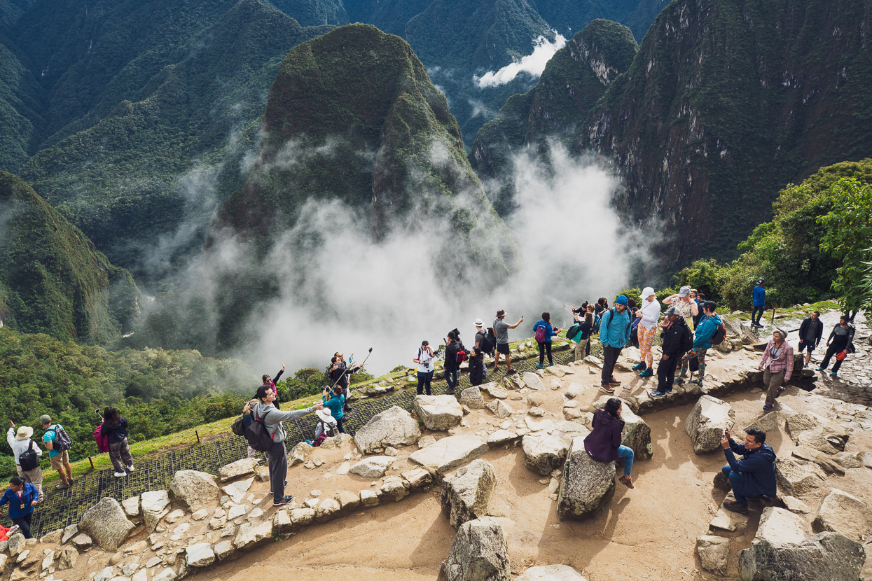
We came back lower again to an even bigger view, this time with the river below adding more depth. The selfie-stick waving bus-loads had begun to arrive, so we hiked higher —away from the crowds — again, this time to the Inca Bridge.
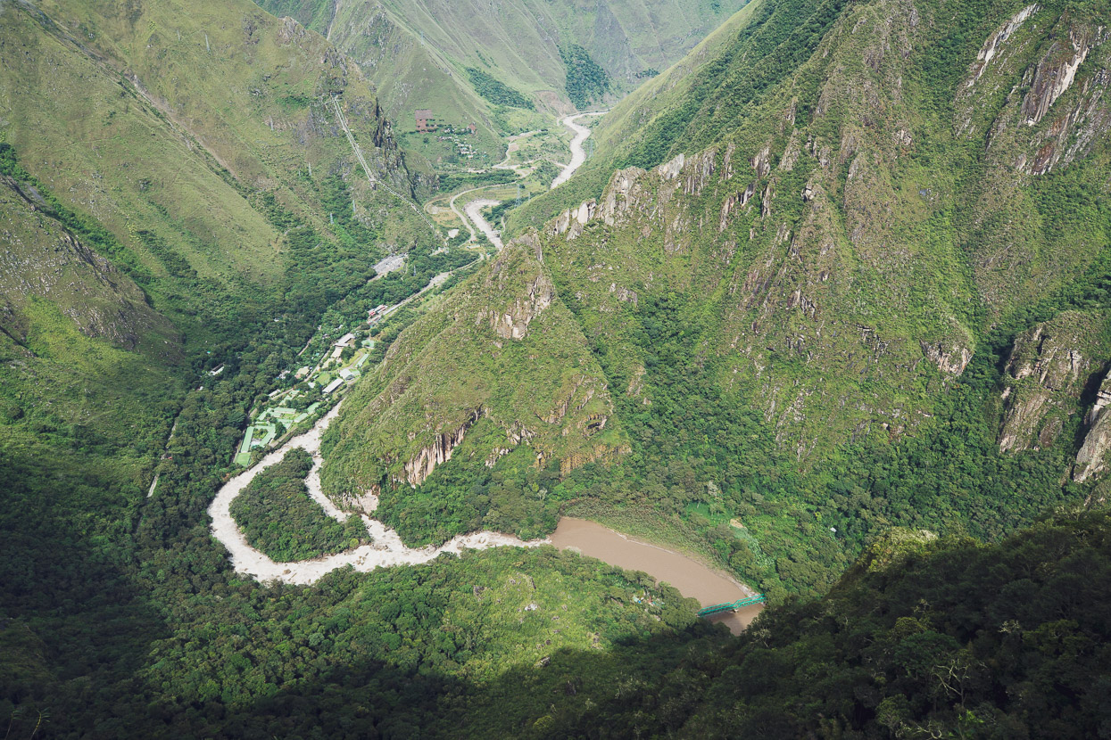
On the walk to the Inca Bridge we could see all the way back down to the hidroelectrica, where we’d left our bikes and walked from the previous afternoon. An amazing view.
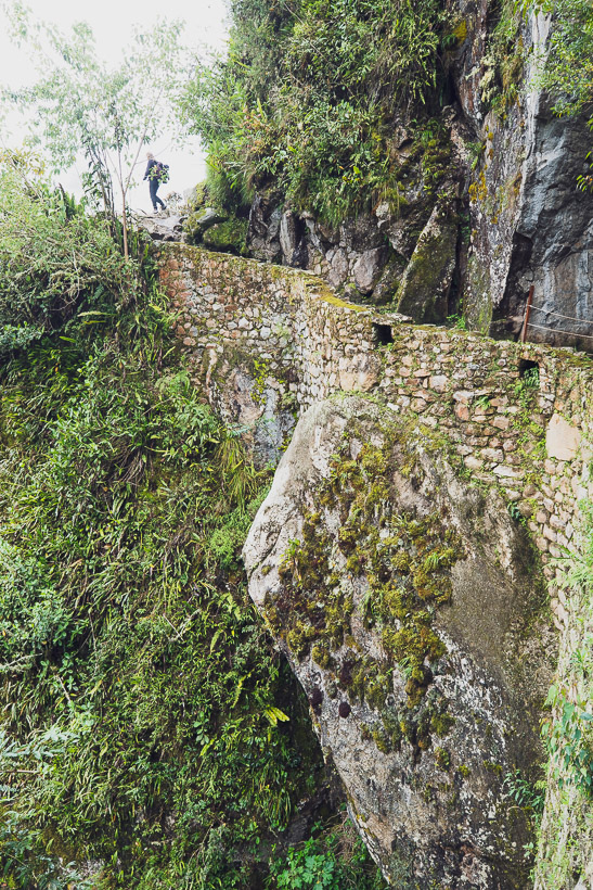
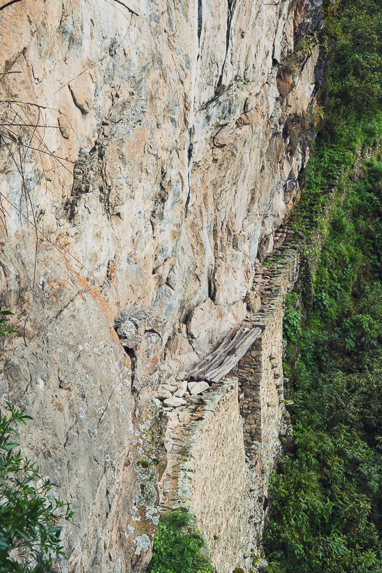
The trail wove around the edge of very steep cliffs until we caught sight of a man made pathway along the cliff, spanned with some wooden beams. Apparently this was created to protect the western (uphill) entrance to Machu Picchu. Approaching from the west, the pathway reaches the bridge along a very narrow ledge that traverses a huge cliff face. There is no way to go up or down. The defenders could ‘close’ the pathway by hurling the timber off the cliff, leaving a large gap in the path.
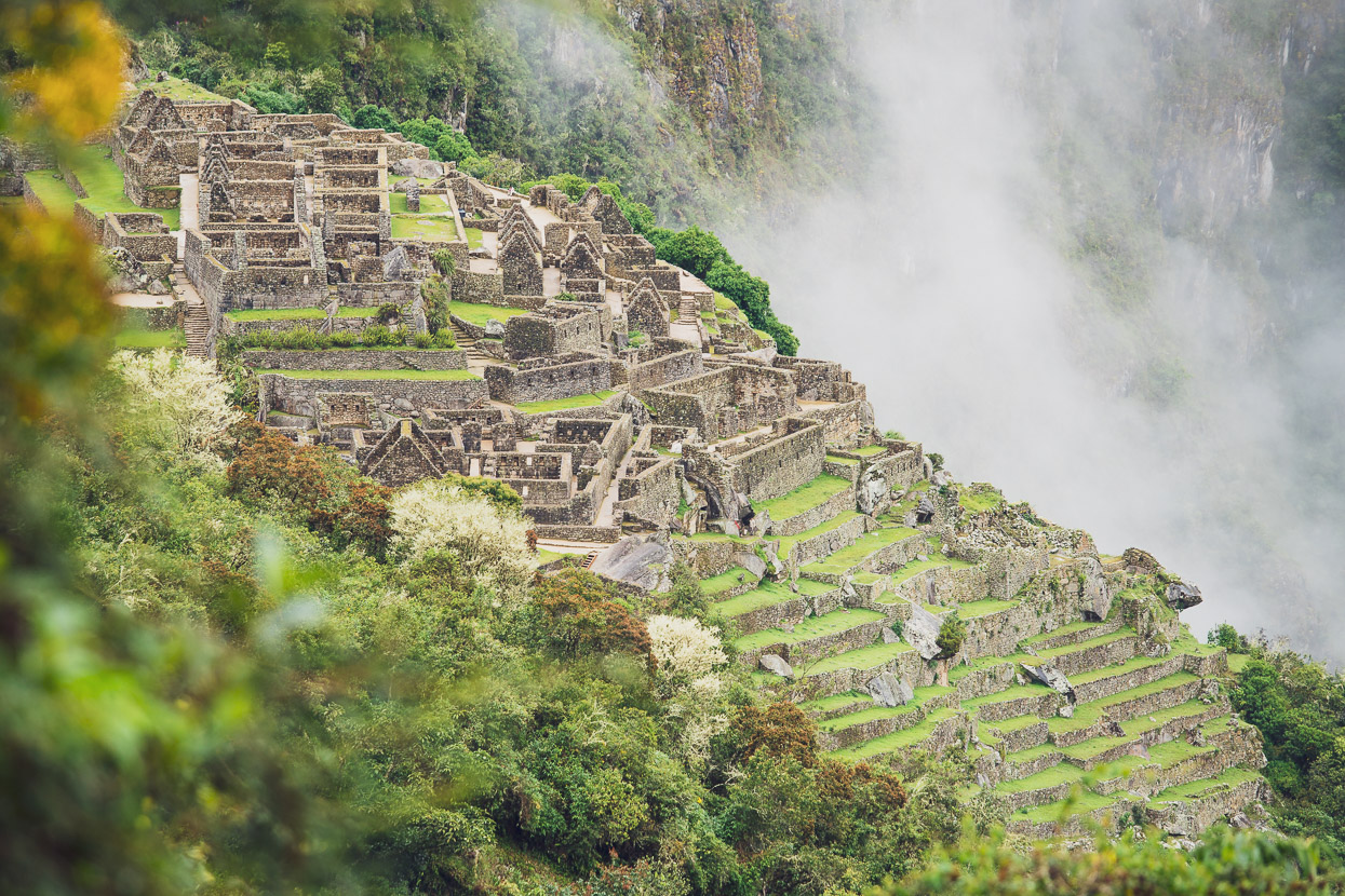
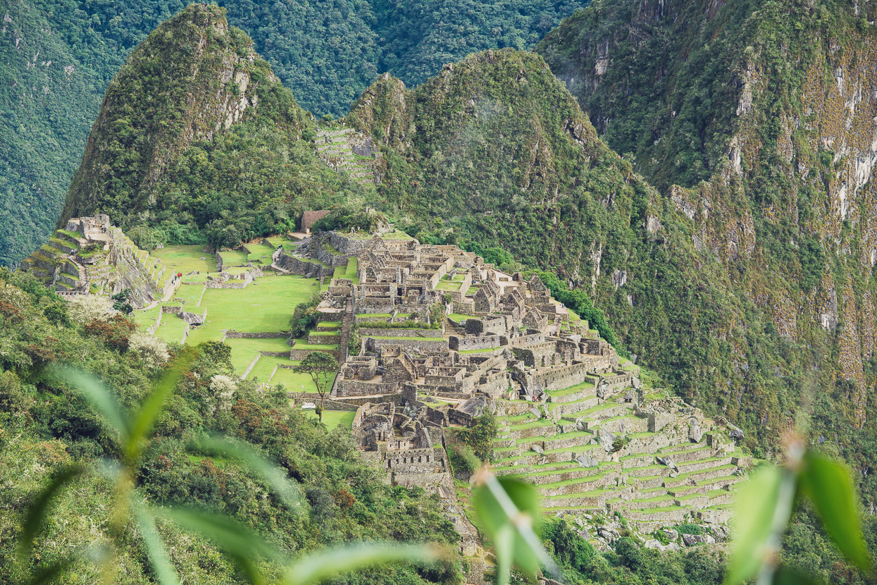
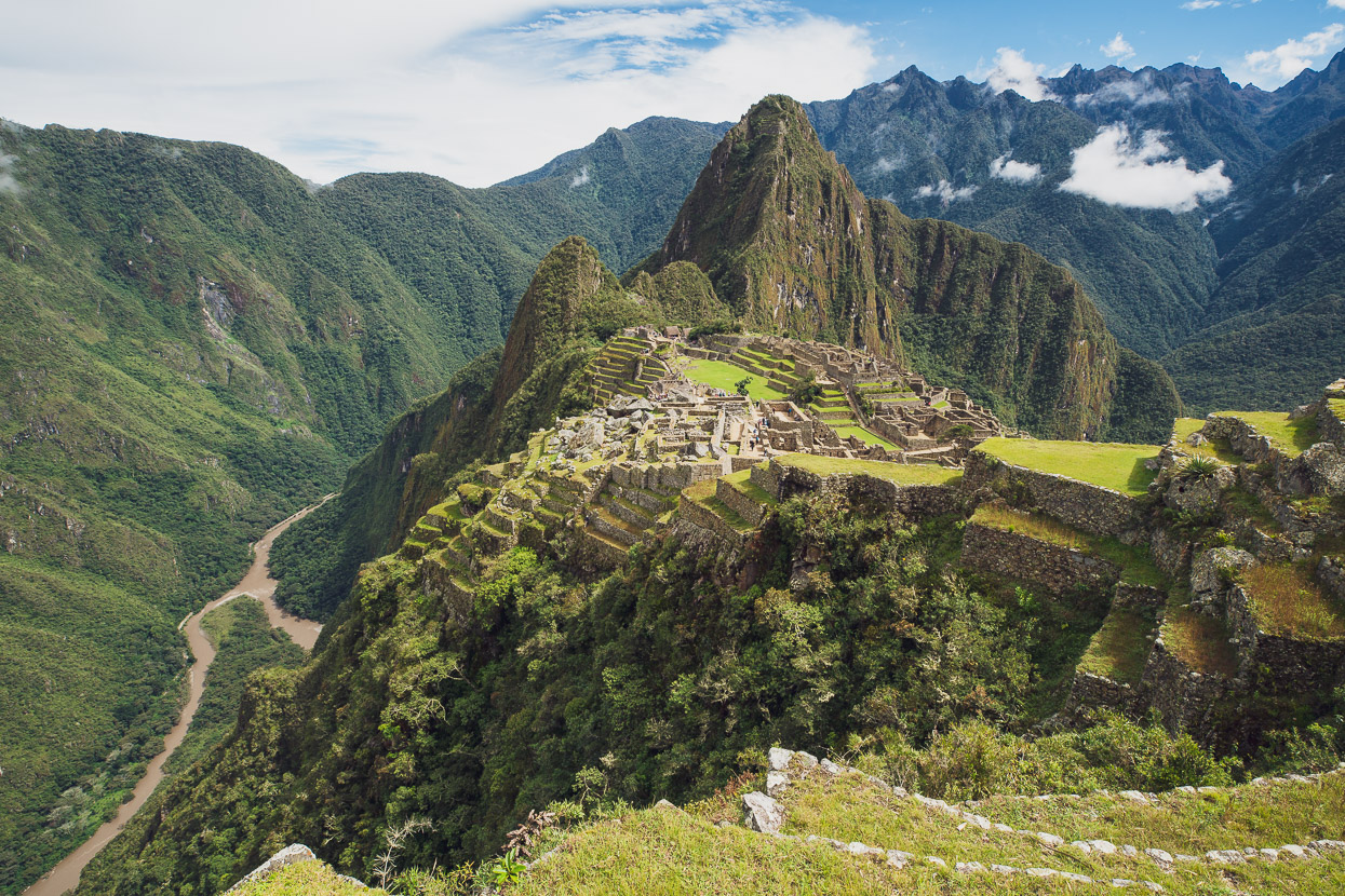
We walked lower again, eager to see the heart of the citadel. This is perhaps my favourite view of the Machu Picchu site, as the citadel is framed on one side by the Rio Urubamba far below and the perfect set of andenes that frame the right side of this shot. It shows some of the depth and scale of this location.
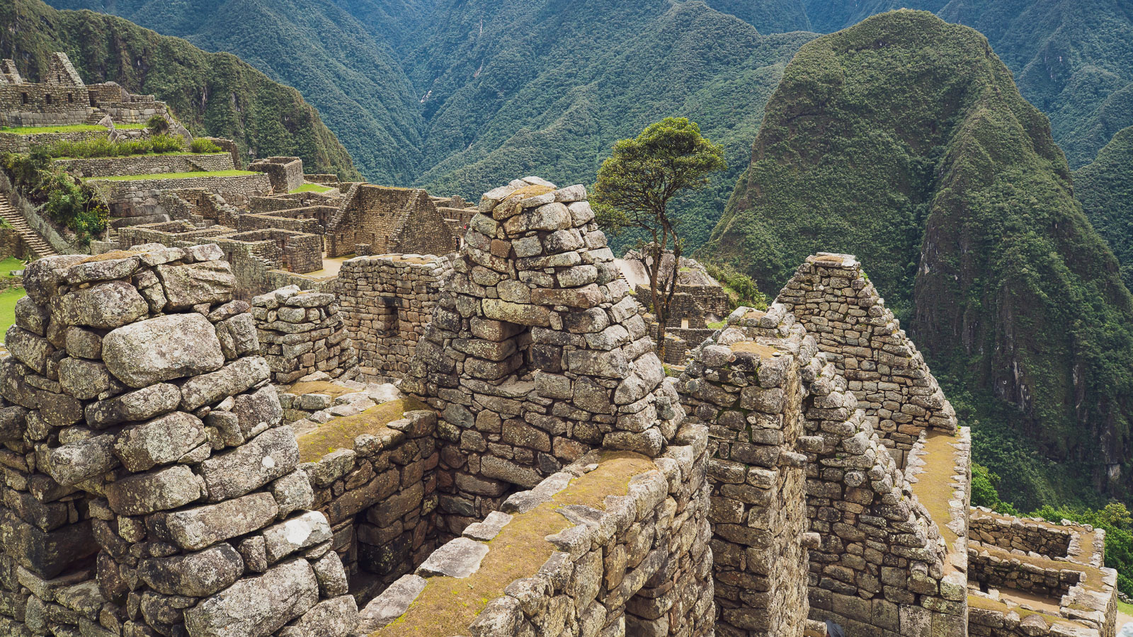
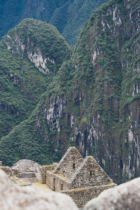
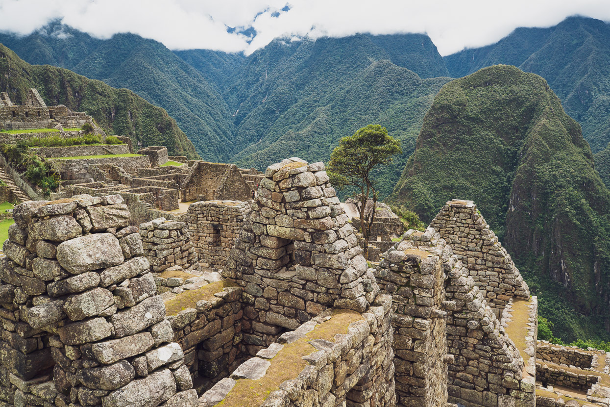
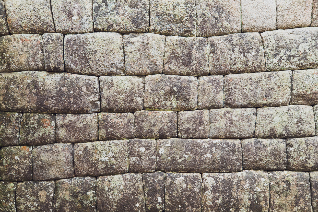
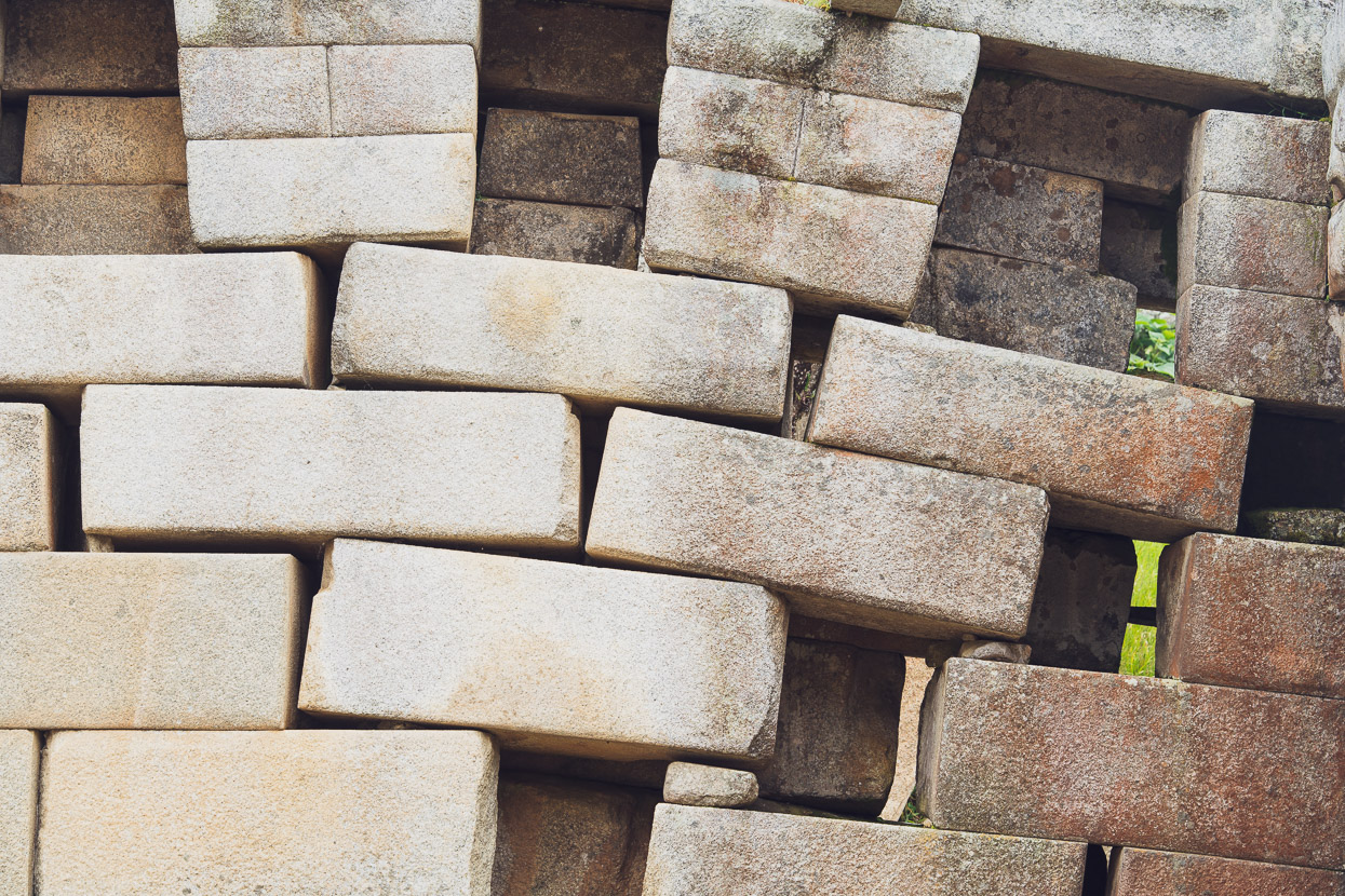
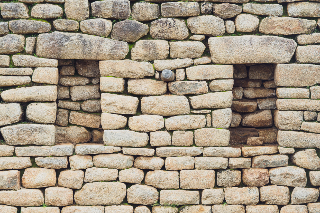
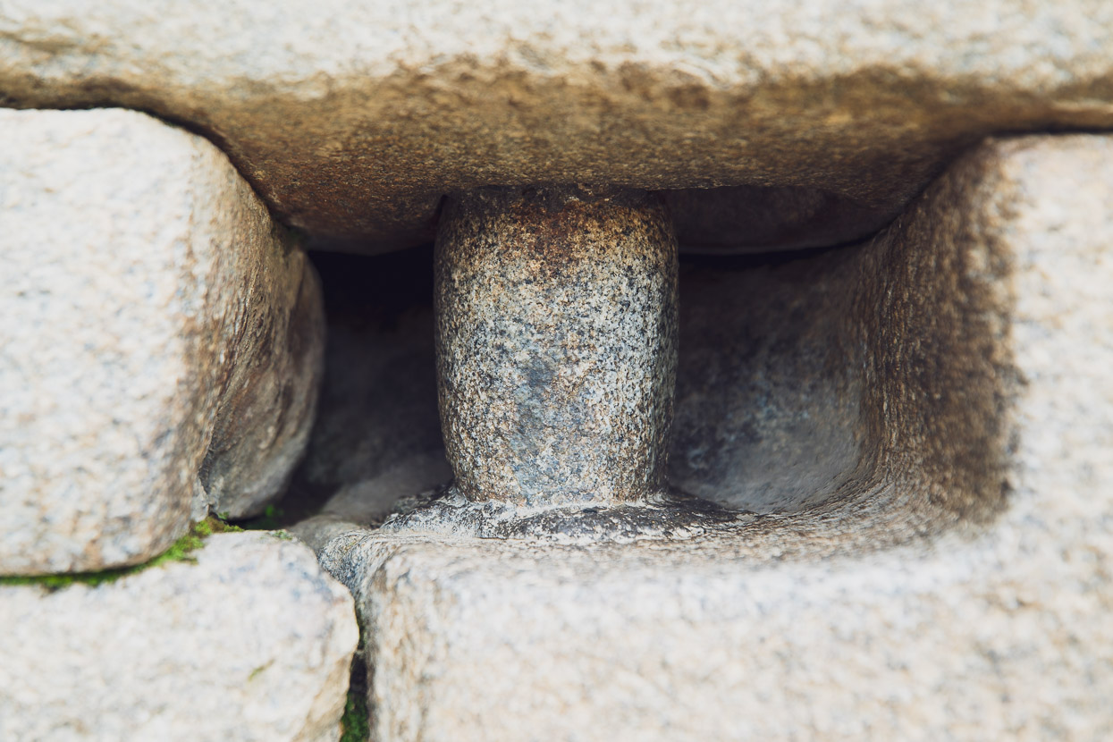
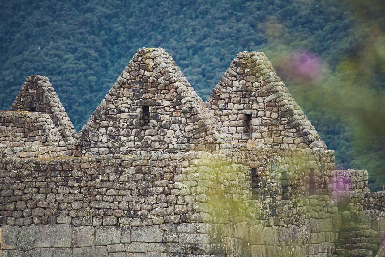
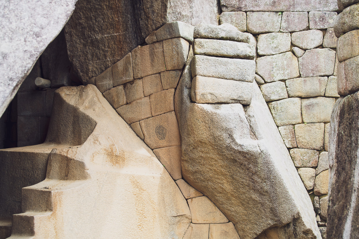
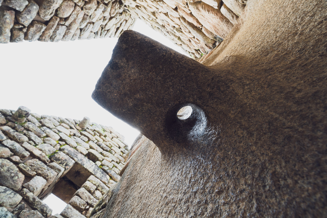
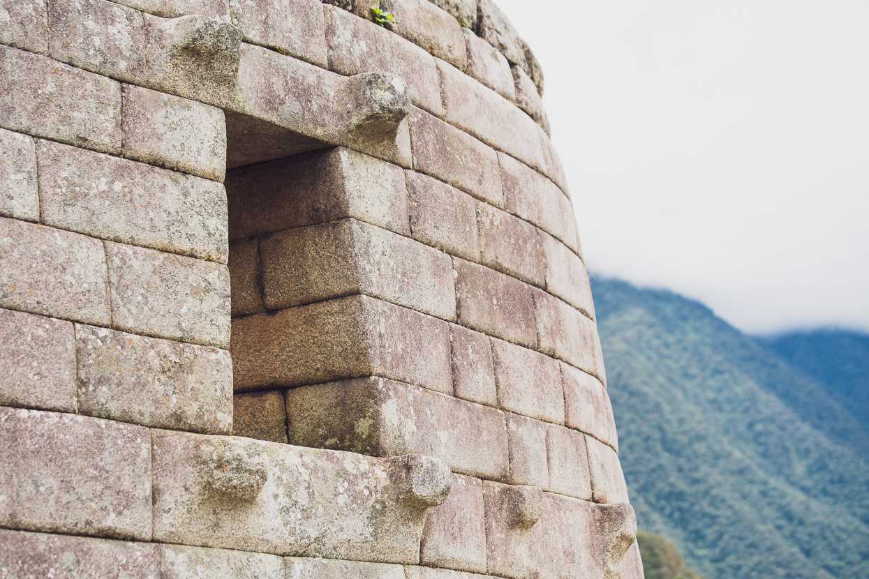
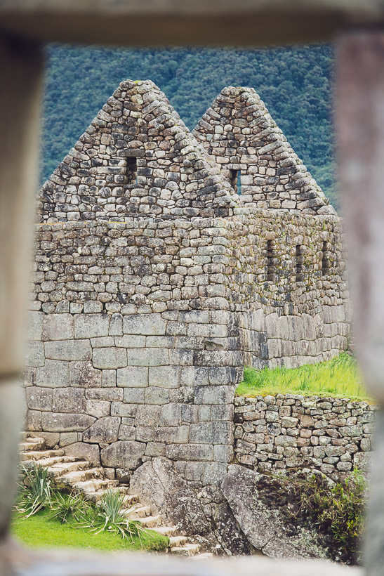
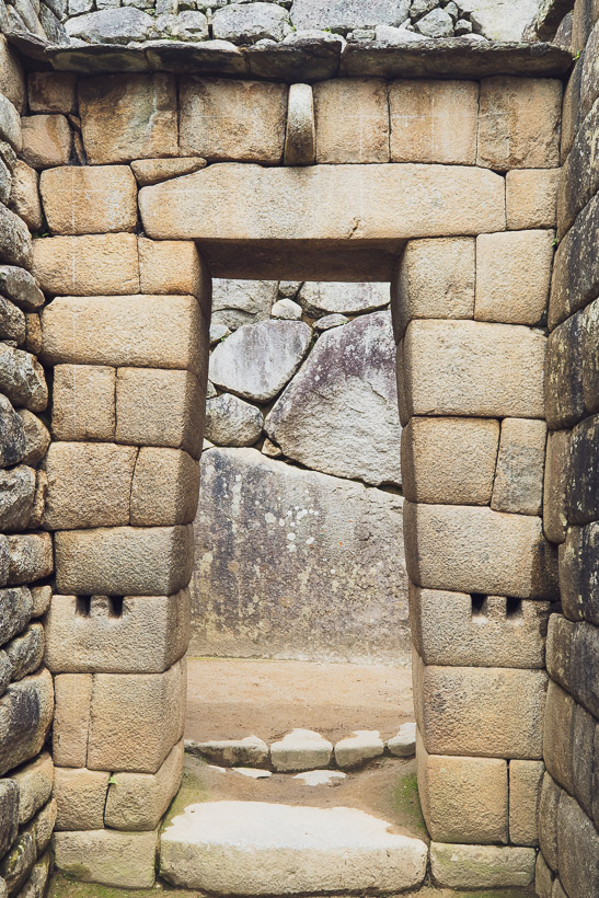
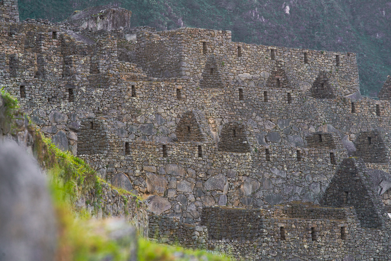
The citadel itself is nothing short of remarkable. The apparently endless tiers of the site are covered in all sort of structures: temples, dwellings, stores, plazas and altars. In places the stone work is so perfect it’s hard to imagine aliens didn’t build it, considering the Inca had only the most basic of steel hand tools. Much of the granite here is not of the site; it was imported by which must have been an incredible and sustained effort.
Although there has been much restoration, its impressive how well the site has stood the test of time too. After 500 years of earthquakes and erosion from rain and wind you’d expect more slumping and collapse, but like an iceberg, only a small amount of the labour and engineering that went into the site is visible on the surface.
You could spend hours just wandering the citadel site, marvelling at the stone work, like the Sun Temple here.
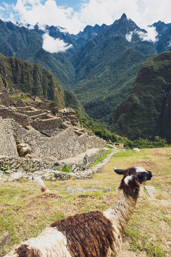
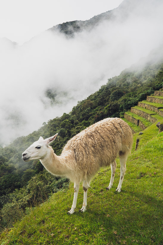
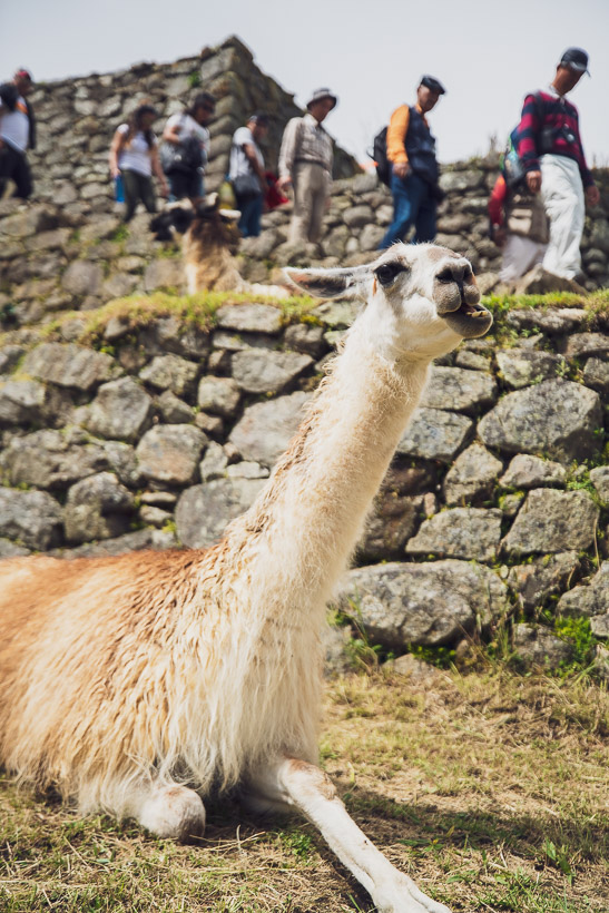
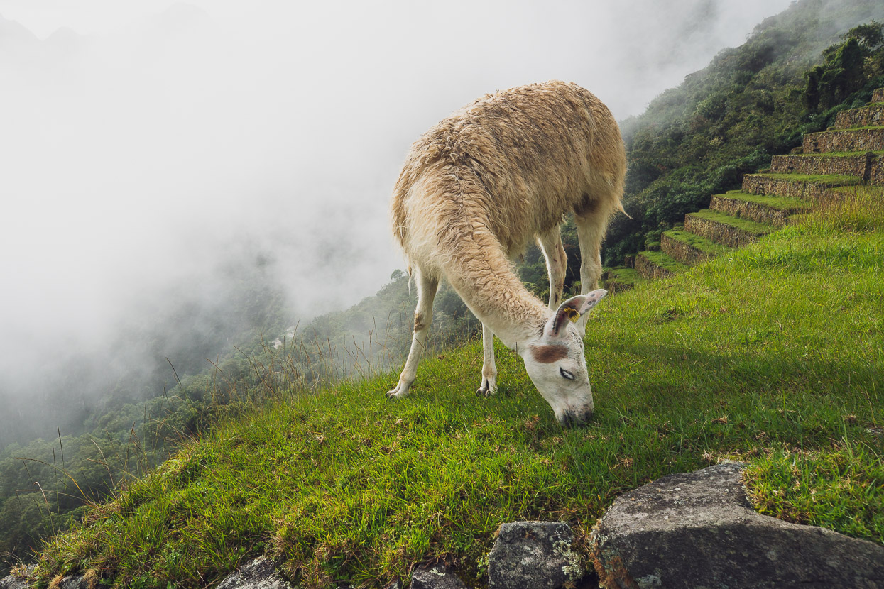
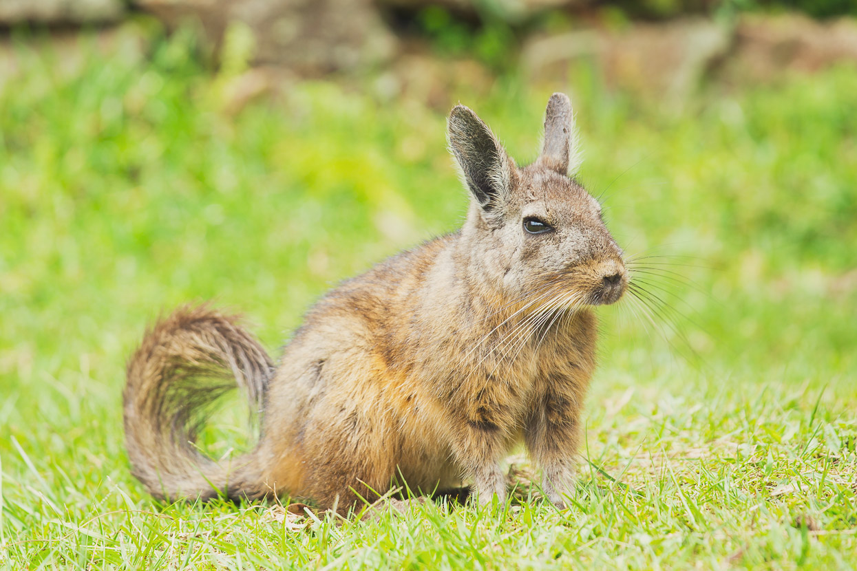
And if you get bored of rock, there are a few viscachas around too.
A worthy bucket list item? Definitely. Just make sure you get up early.
For more, read the Machu Picchu Wikipedia entry.
donations are welcome!
Web hosting, our Ride With GPS subscription and creating content for this site – as much as we love it – adds to travel costs and is time consuming. Every little bit helps, and your contributions motivate us to work on more bicycle travel-related content.
Thanks to Biomaxa, Revelate Designs, Kathmandu, Hope Technology and Pureflow for supporting Alaska to Argentina.



Great post, certainly is one of the most worthwhile places in the world to visit in my view, it is simply such a stunning location.
Thanks Richard!
How good is that first photo of the site? With the yellow green terraces as a bottom border and the skyline backdrop ending in the misty peaks to match the mist over the site. You nailed it. And I loved “selfie-stick waving busloads”. So many lost souls of doomed civilisations?
Thanks Darryl, and mil gracias para las cervesas! Yeah I was very happy to capture that sort of early morning atmosphere at the site. Special place indeed, until the crowds arrive at least 😉
The photo you say is your favorite view of MP is stunning. The definitely deserves to be hung on your wall whenever you do get back to your homeland.
Thanks!