In the footsteps of the Inca.
Aside from its magnetic cultural interest, one of our reasons to visit Cusco was a desire to use it as a base for more exploration. It would be hard to leave Peru without having experienced the famously mountainous region, scattered with Inca ruins and rich history, that lies to the north east between Cusco’s Sacred Valley and the lowland jungle of the Amazon.
This part of the huge Cusco Department contains such treasures as the former Inca strongholds of Ollantaytambo, Choquequirao, Machu Picchu, Vitcos and Vilcabamba, all separated by some of Peru’s most rugged mountain terrain. With tall mountains come big rivers, and in this part of the Andes some of Peru’s greatest Amazon tributaries make their final plunge through the mountains and into the lowlands of the Amazon Basin, transitioning from the puna, through cloud forest and finally into the jungle. In a circuitous sort of way, we planned to make the same journey too.
Our idea was to follow more or less the route that the Inca nobility took during the 1530s as they fled the Spanish conquistadors, seeking refuge in the antisuyo (the east). By the early 153os the Spanish had full control of the former capital of the Inca Empire, Cusco, and were determined to wipe out the remainder of the Inca elite. Under the leadership of the current king, Manco Inca Yupanqui, the embattled vestiges of the Inca fled east, first to the citadel of Ollantaytambo, then Vitcos. Finally, they sought refuge deeper in the jungle, on the fringe of the Amazon, at Vilcabamba (now known as Espiritu Pampa), where they established a small Neo-Inca state. This jungle haven survived for over 30 years until eventually the Spanish finally found it, killed Manco and burned the city. After this tragic ending, Vilcabama was lost to jungle for centuries.
Over five weeks, we planned to ride from Cusco to Vilcabamba/Espiritu Pampa, and then head further down into the jungle where we could take boats north along the Rio Urubamba to Atalaya, before a final section of riding back west towards the Andes and then finally a long bus journey back to Cusco.
The following few posts will cover the journey, and this one starts with our first few days, from Cusco to Ollantaytambo (see map at end of post) and then to Cachora, where we planned to hike into the remote Inca site of Choquequirao.
From the historic San Blas suburb of the centro historico, where we were staying, the dirt roads and tracks that cross over to the Sacred Valley are very accessible. It was just a short ride up through the edge of the city and we were soon riding towards the puna. We’d spent quite some time in Cusco planning and preparing for the route we’d follow for the next 550km to the jungle, trying to keep it consistently interesting, and that included trying to follow old Inca trails right out of Cusco over to the Sacred Valley.
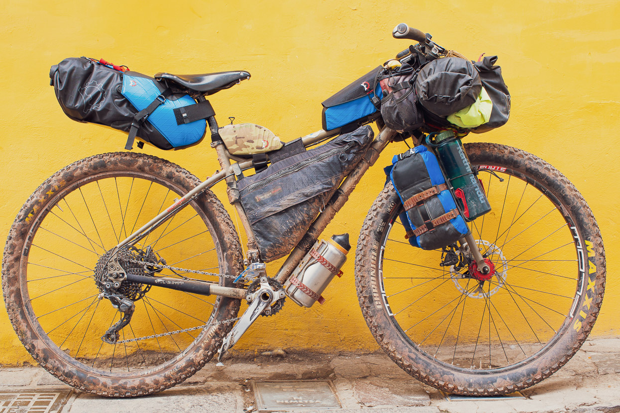
Revelate Designs had been kind enough to send us some revised editions of our favourite products; the Terrapin seat bag and the mag tank – which now comes in a capacious 2l version, making tons of room for ride snacks. The Terrapin is much improved too, with a much more durable (bombproof) polypropylene base, a niftier cinching system with camlock buckles and more stability under the seat. Hana was trying the new 8l version too.
We passed close by the Inca ruins of Tambomachay and followed rough double track, soon leaving the pavement and the city well behind. The only people we saw the rest of the day were a couple of alpaca farmers.
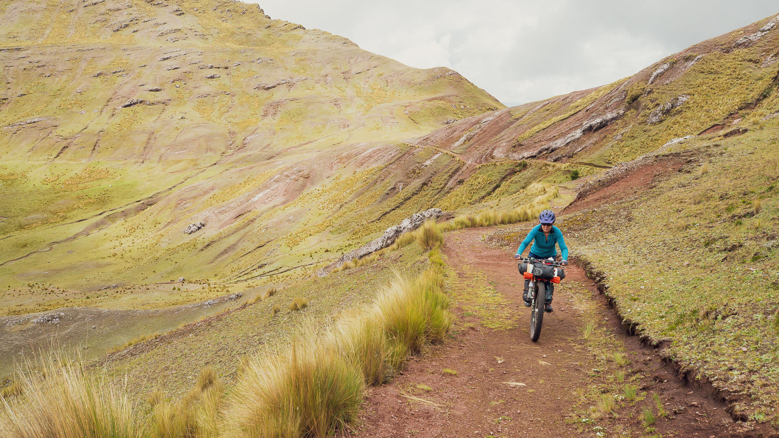
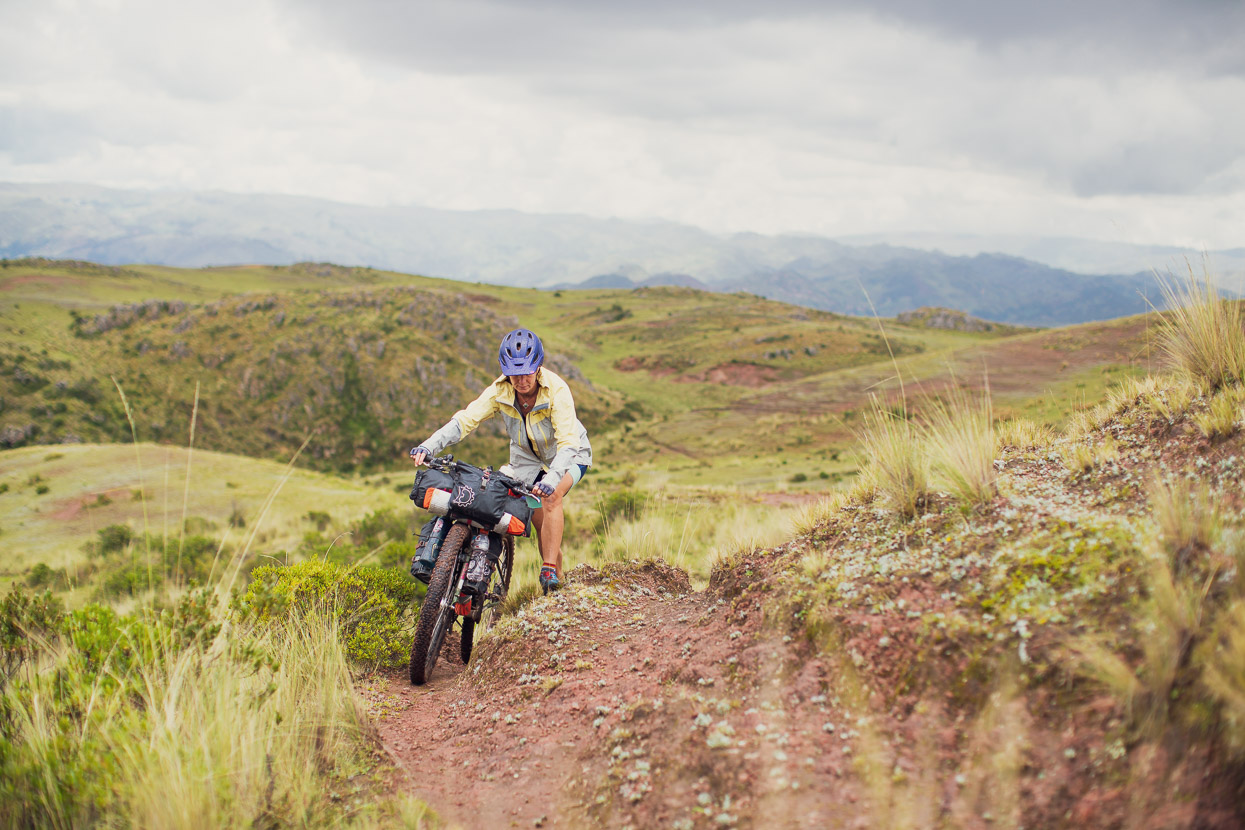
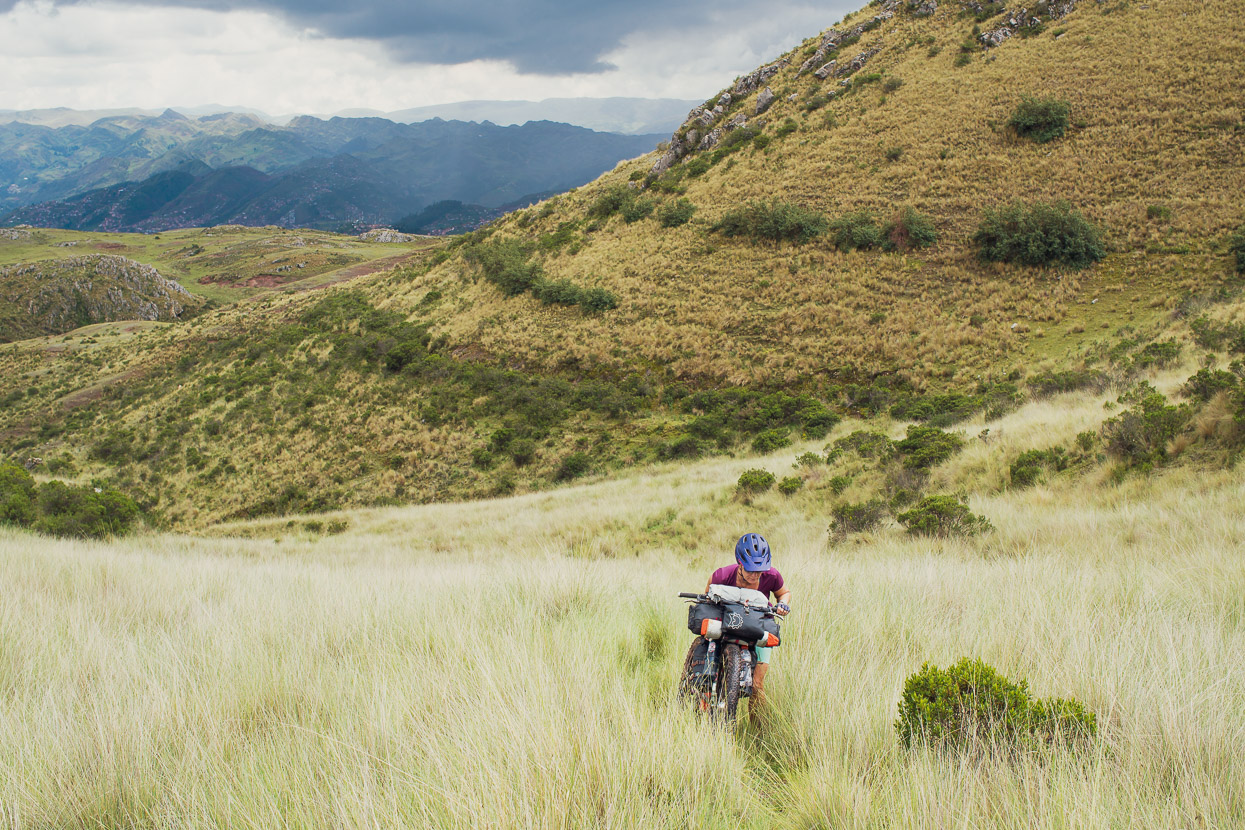
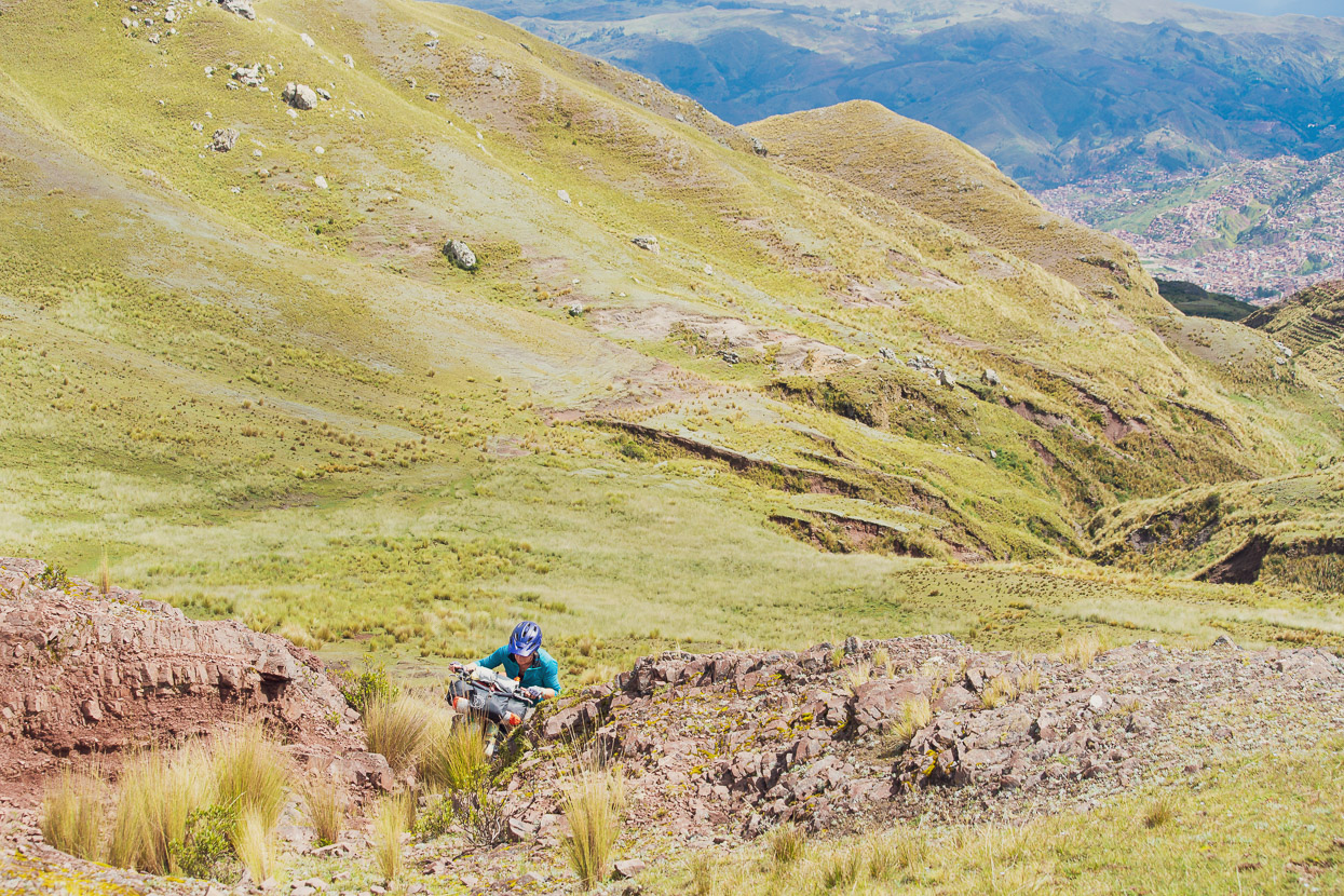
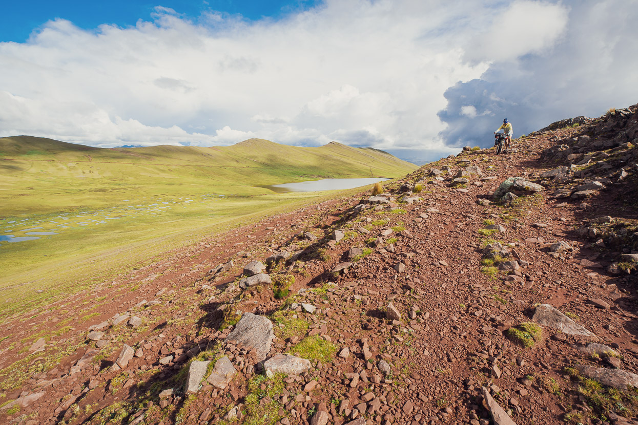
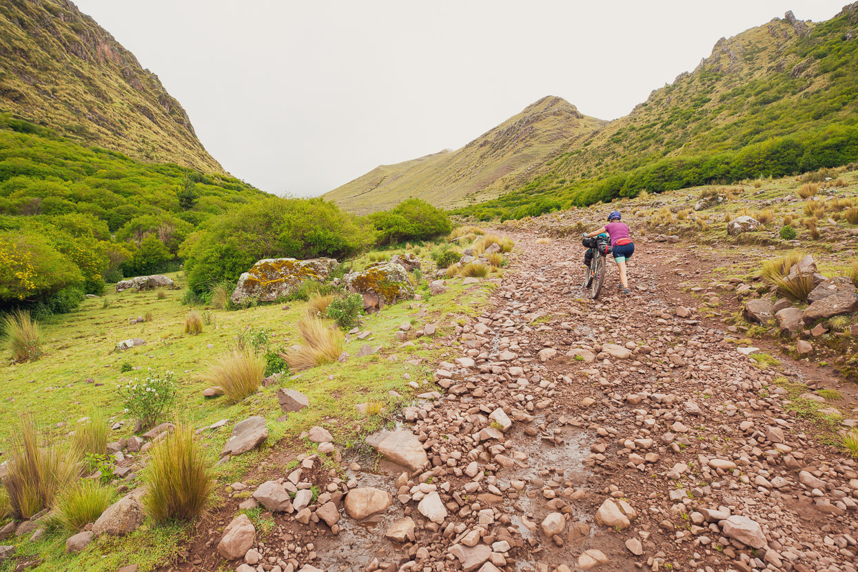
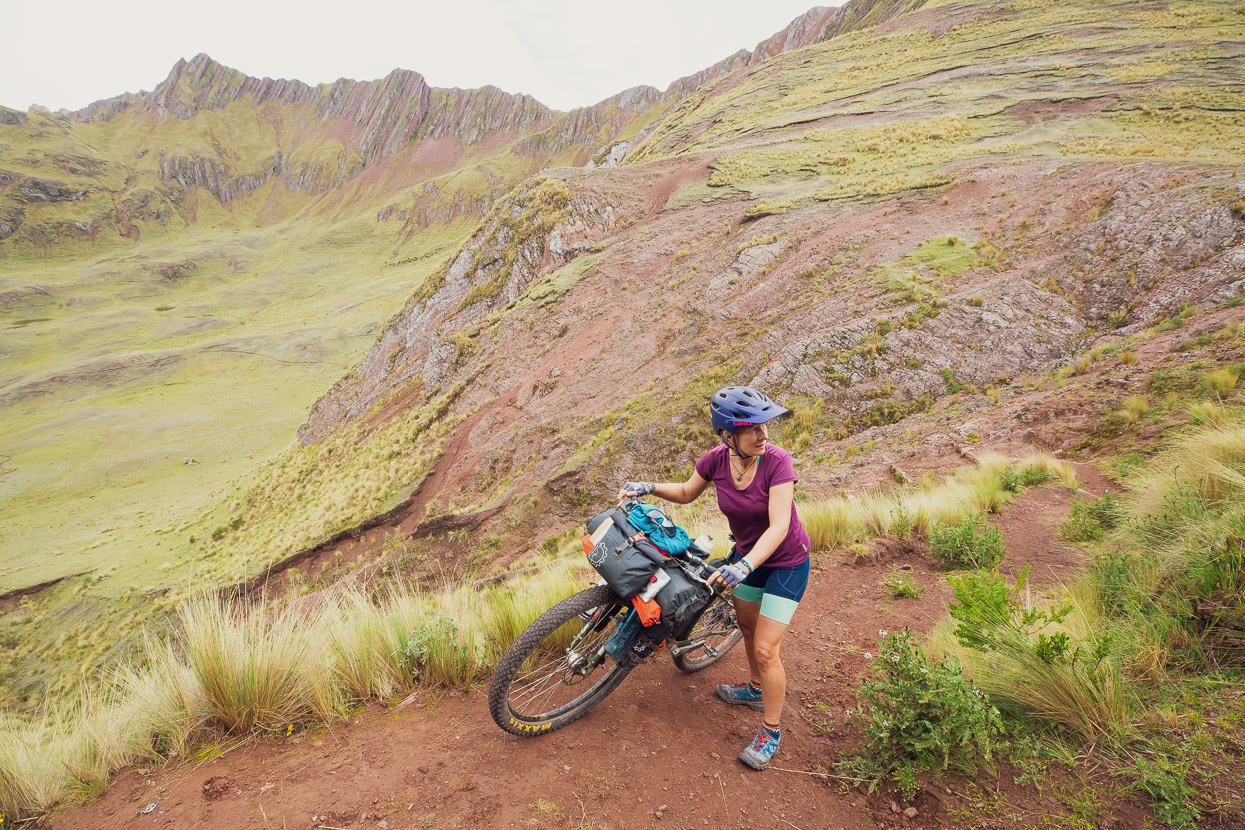
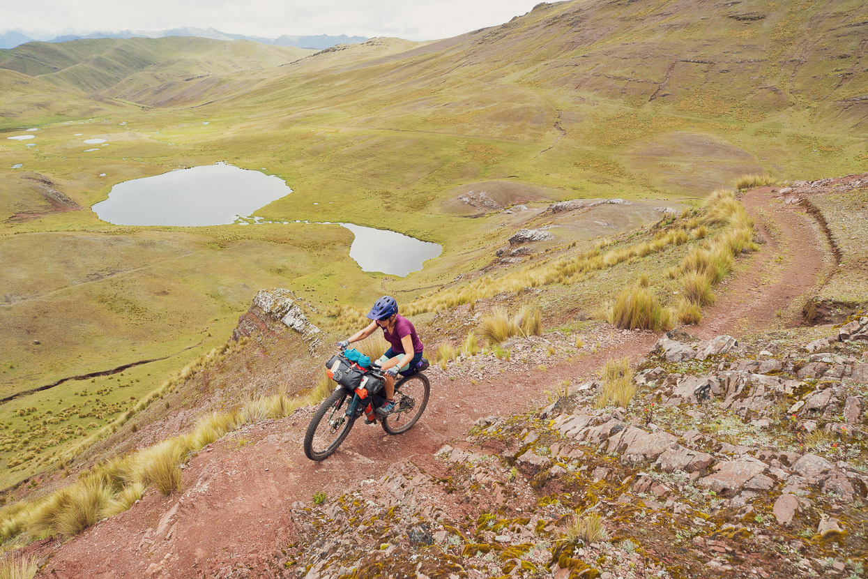
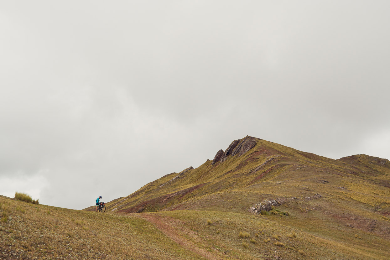
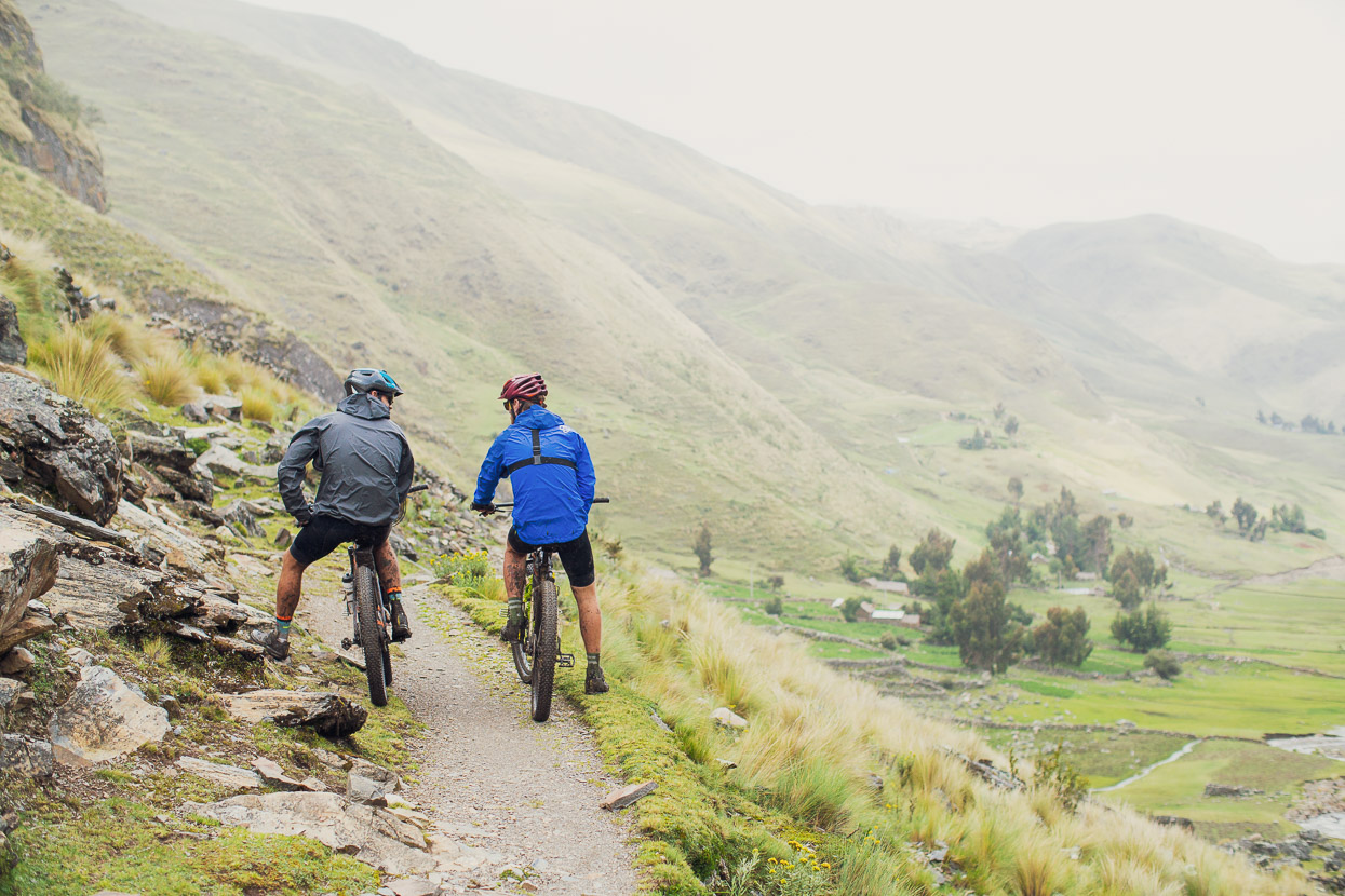
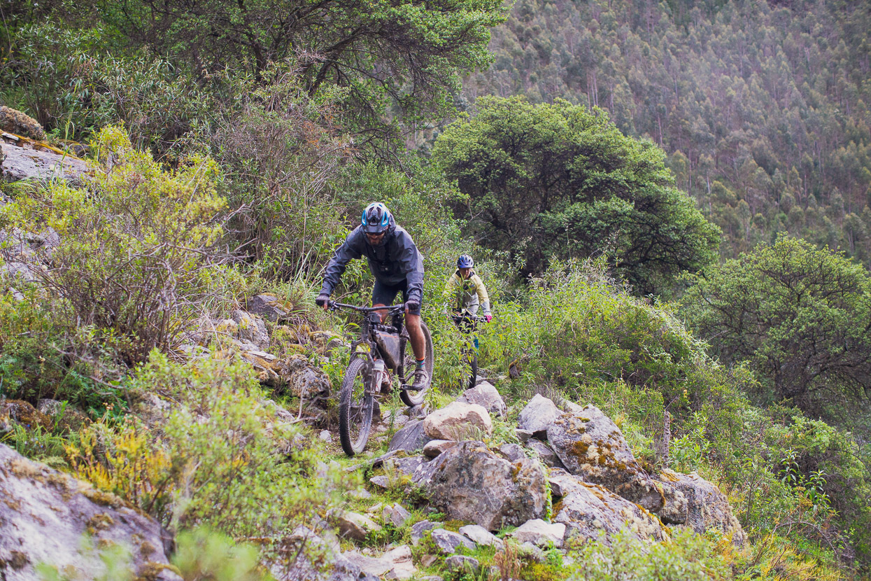
The double track petered out into singletrack that contoured around the hills, gradually gaining height towards the top of the range. Along here most of the steeper climbing became hike-a-bike.
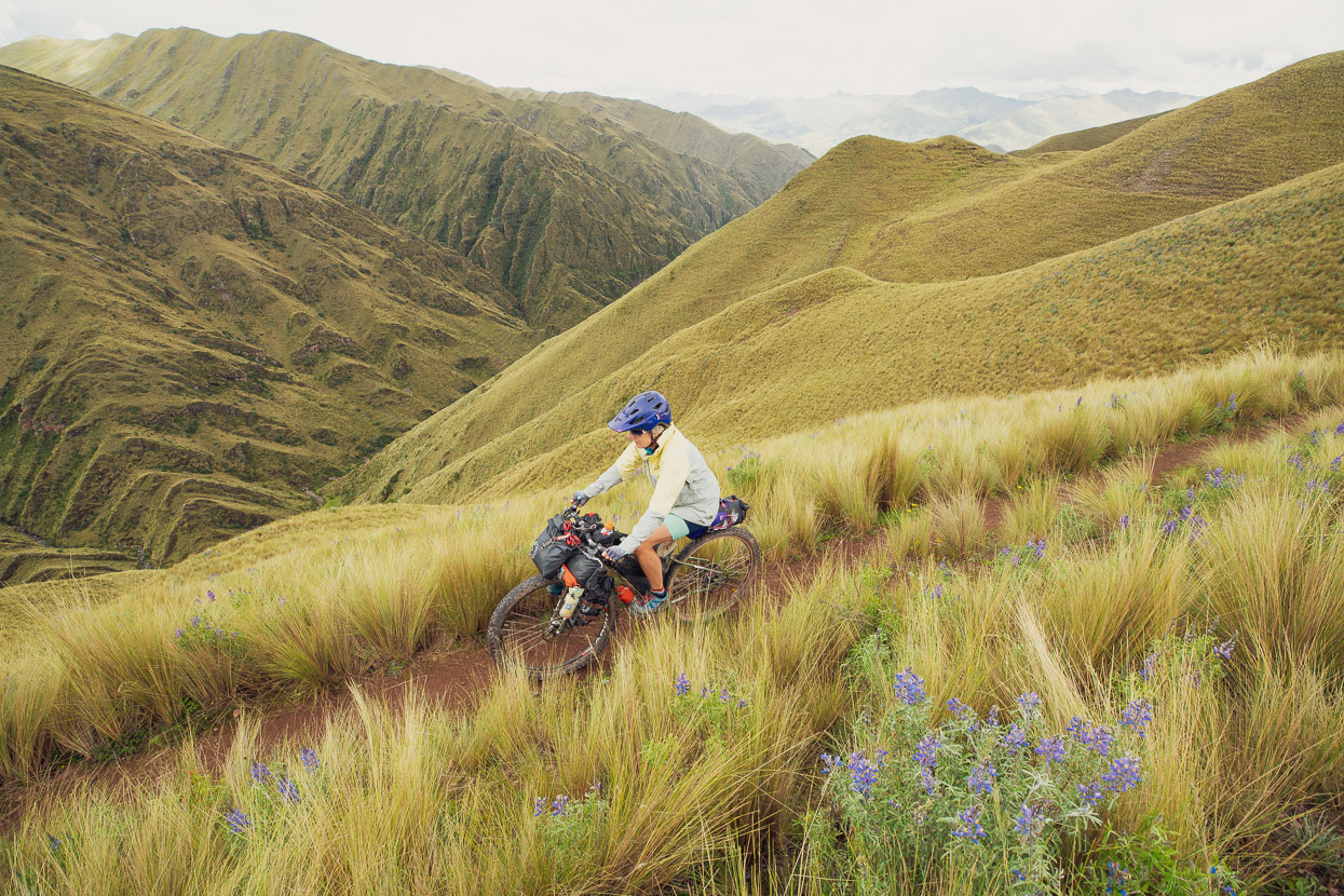
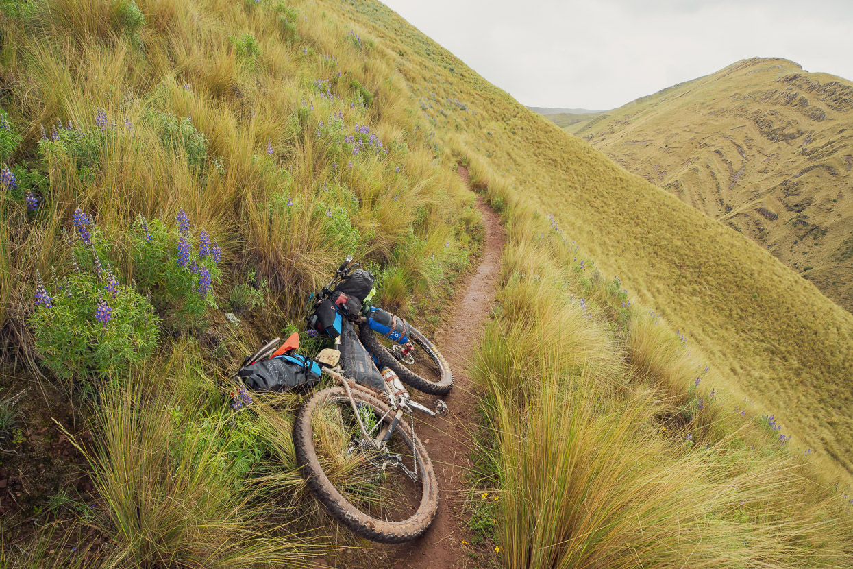
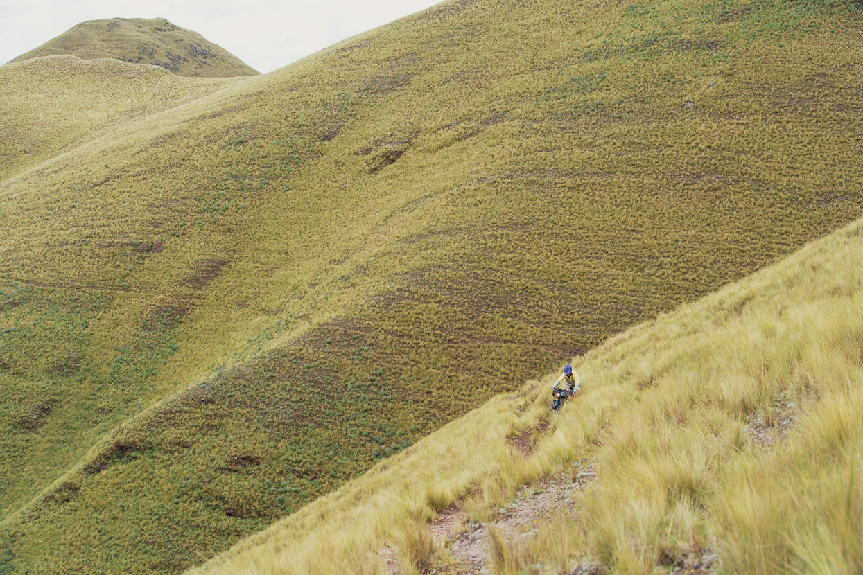
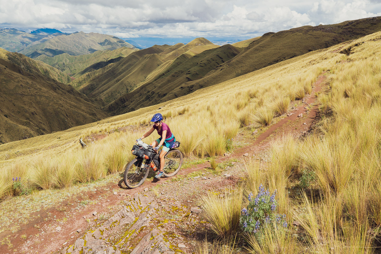
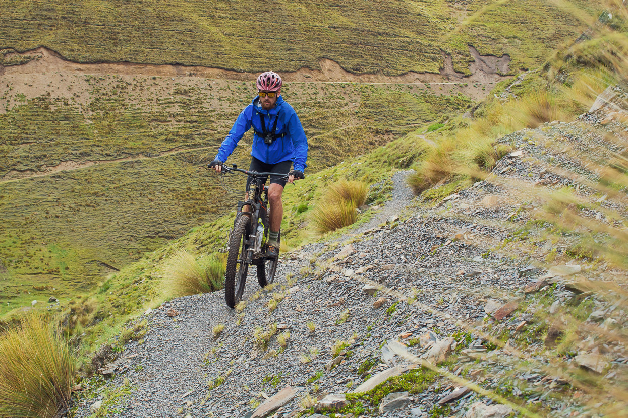
The range top brought pay dirt though, making the huffing and puffing and pushing worth it: perfect singletrack snaked along the ridge for the next several kilometres.
Our only intel for this route had come from satellite map guesswork, so we were pretty happy to find it ridable. Hunting for random single track is always a risk!
The odd steep or rough bit had us off the bikes, but the beautiful surrounds made up for that. We were very happy to be there.
The odd glimpse of Cusco, visible down the side valleys, snapped us out of the illusion that we were deep in the mountains.
But turn back the other way and we just had the angular, dun coloured ranges for company. At one point we spooked a deer and it ran, zigzagging down towards the security of the gully below.
At our highpoint of 4300m we passed a couple of small lakes and dozens of small tarns, all full at the tail end of the wet season.
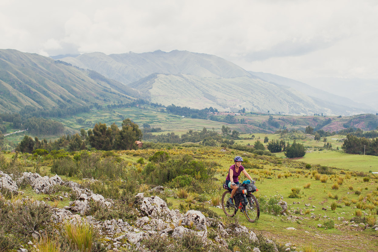
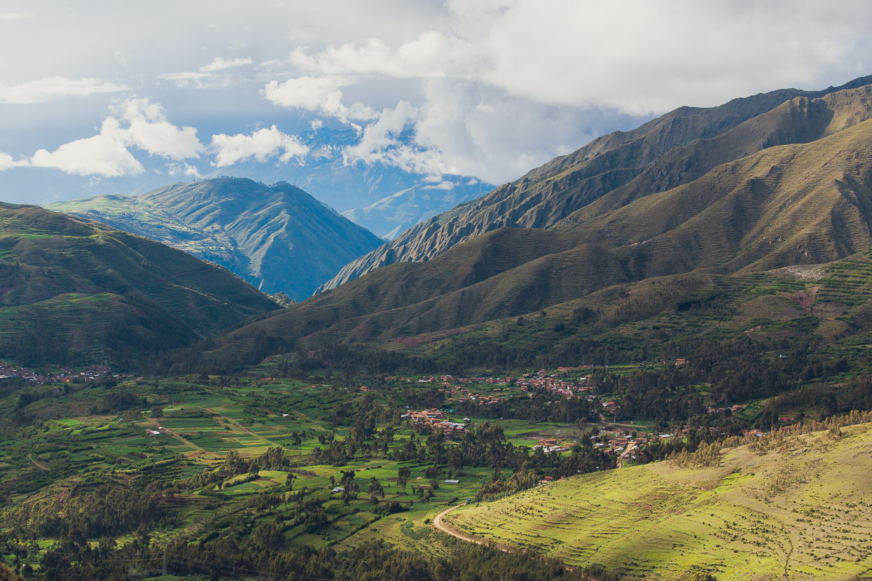
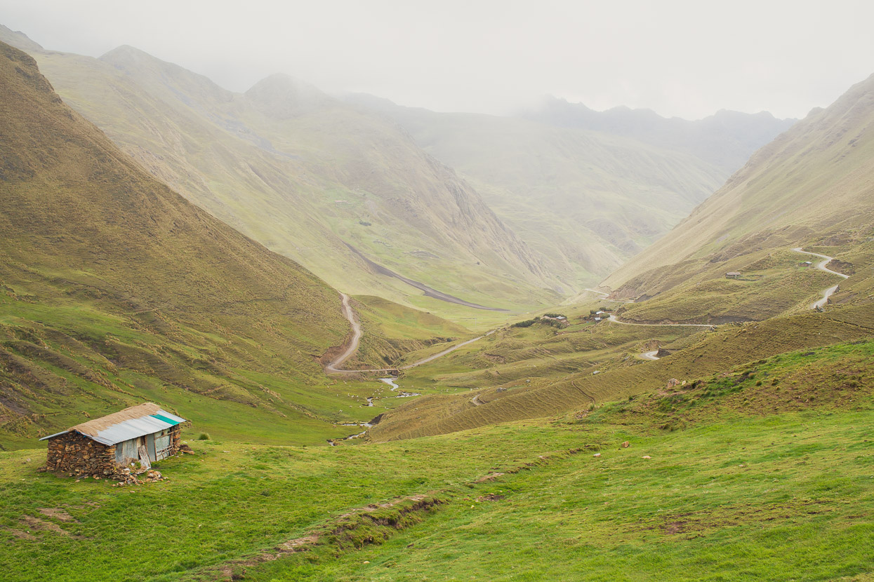
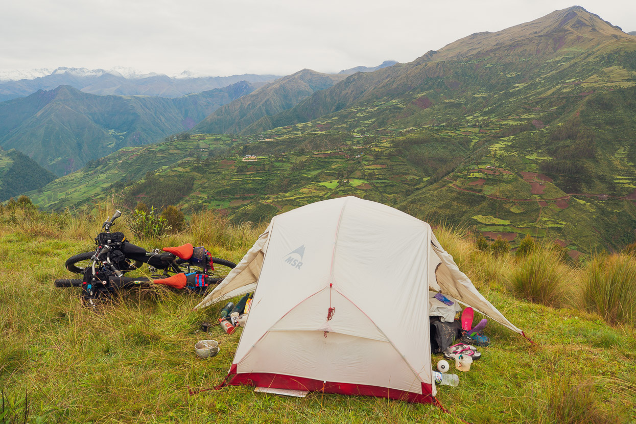
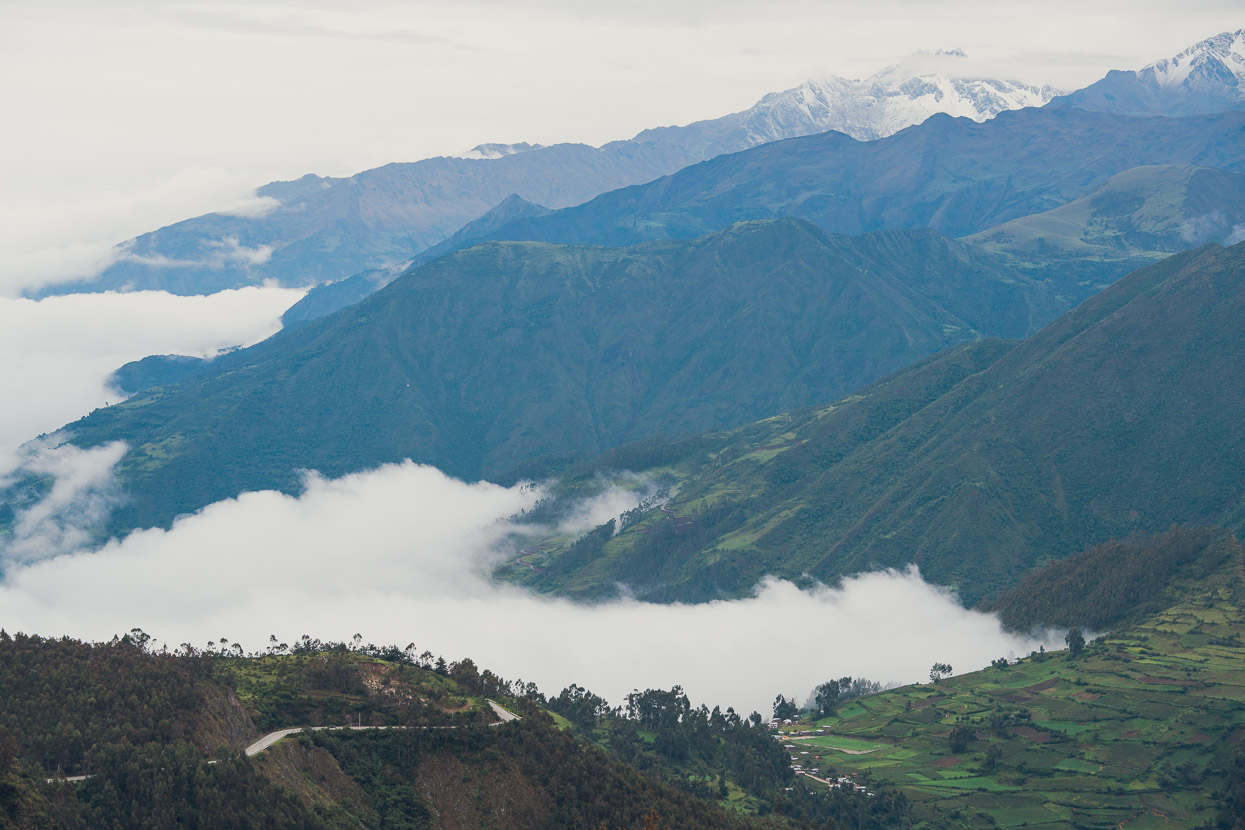
Once over the highest pass we could see down to Umaspampa and beyond to the Sacred Valley and the Cordillera Urubamba. We camped just out of frame to the right in the photo. A flat spot and a small stream providing all we needed.
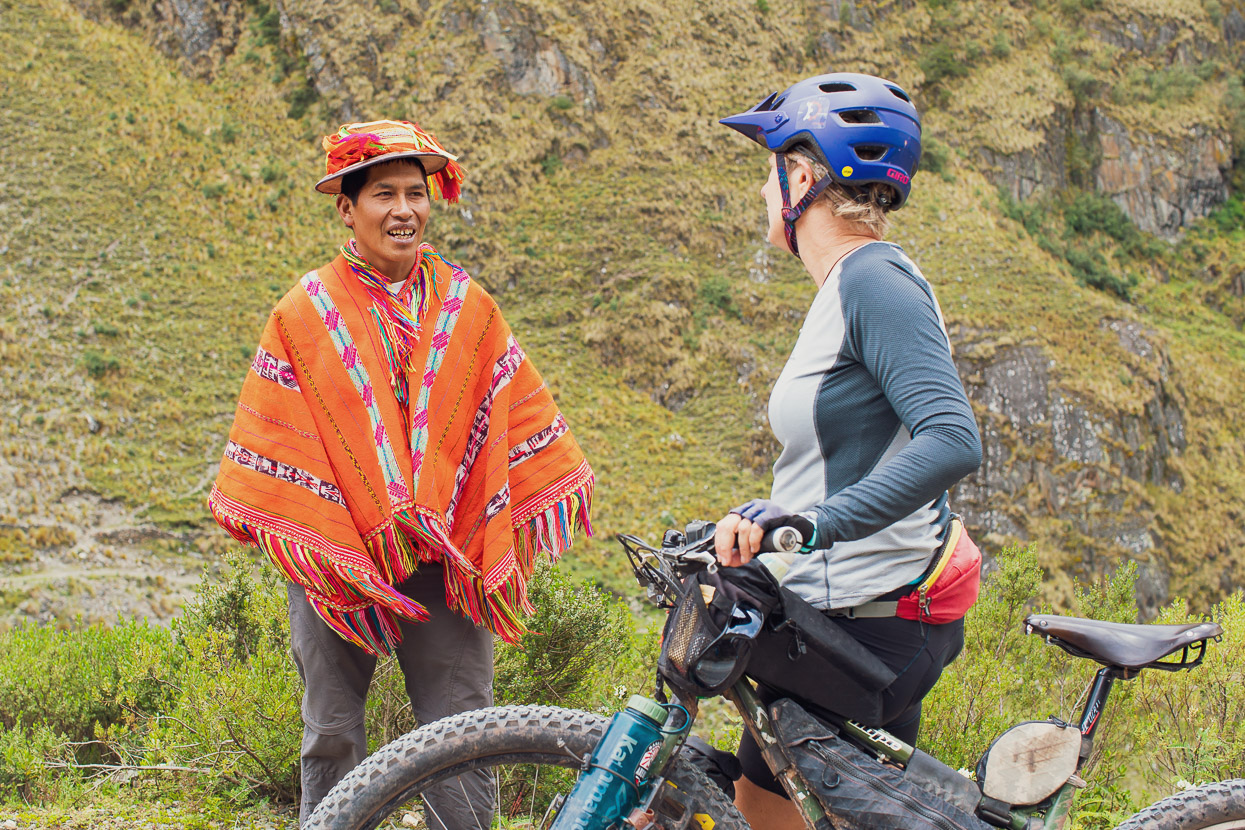
The llama herders were up before us in the morning and while we ate breakfast llamas slowly surrounded our camp, grazing on the pampa. We packed camp and began to descend, stopping shortly after to talk to one of the campesinos tending the herd.
‘Coca?,’ he enquired. Wondering if we had any leaves spare we could give him. For these indigenous mountain people coca is an essential energiser, and is consumed as we would coffee. It’s also full of of other beneficial minerals and vitamins.
‘Si, tenemos.’ I replied. I tend to carry a small supply with me all the time in Peru now. It provides a handy concentration boost when your energy flags and I quite like the almost ritualistic preparation of picking out the stalks of the leaves by running them through my teeth and adding a bit of cal (lime compound) to help extract the alkaloids and balance the flavour.
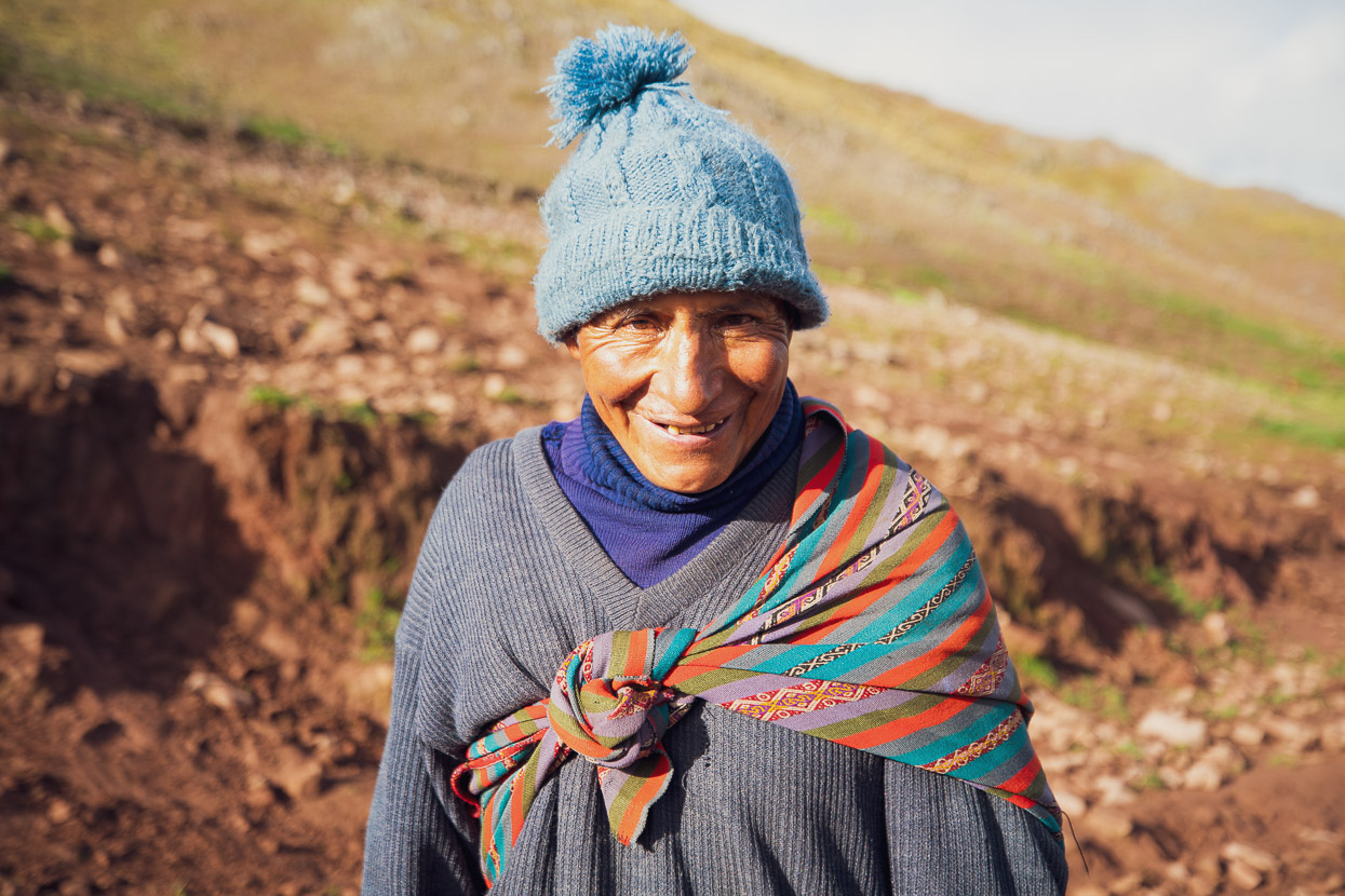
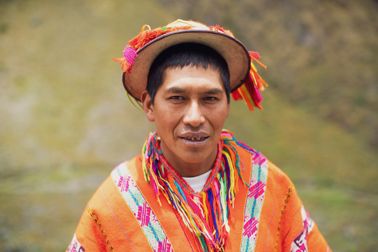
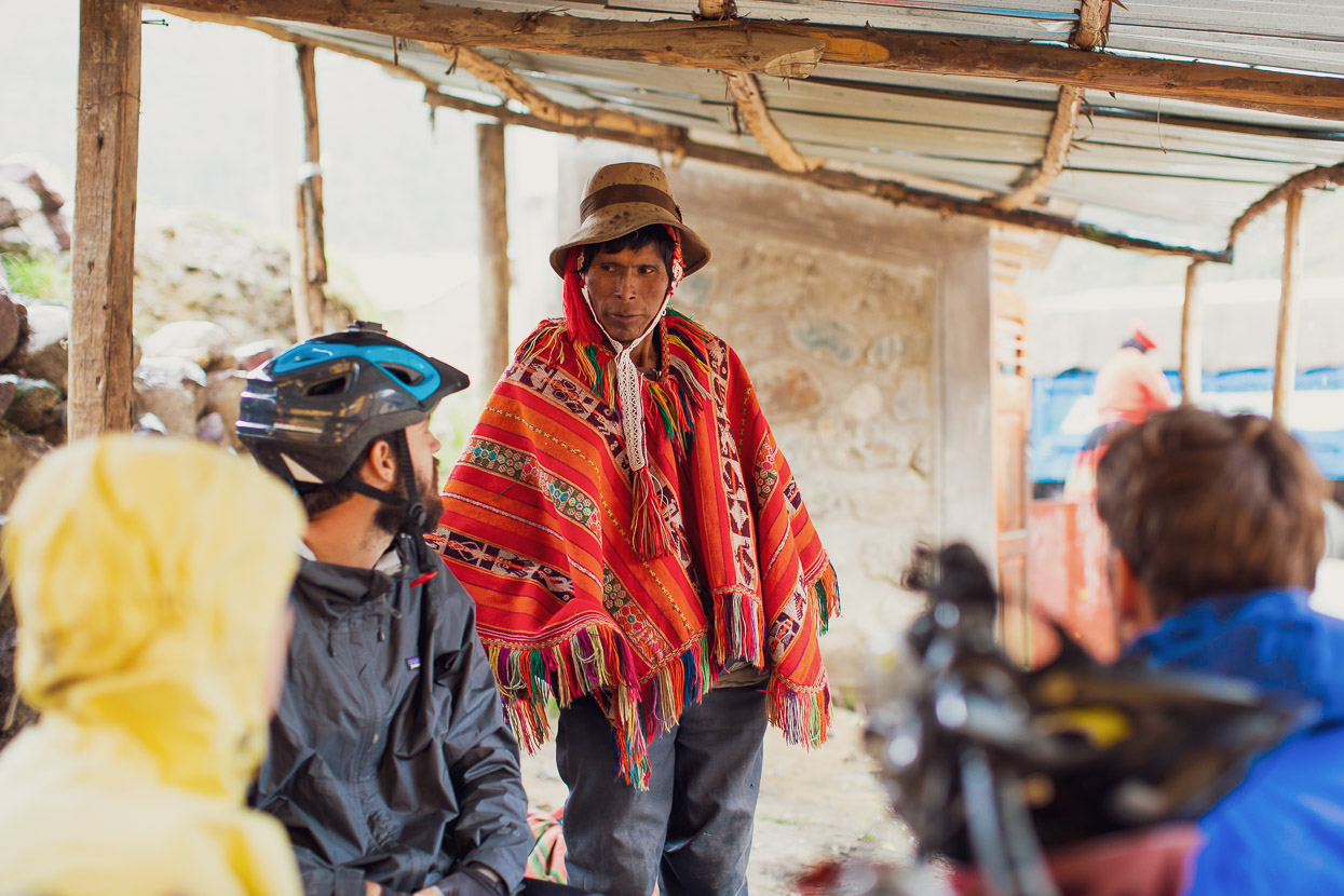
We gave the man all we had, knowing we could buy more in Ollantaytambo, and then I asked if could take a photo of him. Peruanos rarely smile for photos, so I was quite happy with this shot. The woven alpaca blanket (manta) across his shoulders would have carried his supplies for the day, as well as providing warmth and some shelter from the afternoon rain.
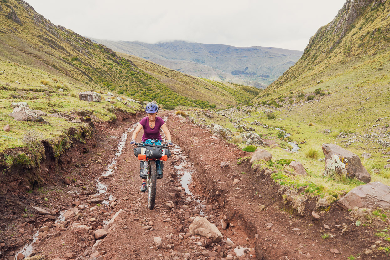
We dropped further and passed quickly through the village, just stopping for a couple of items at the single small tienda, and turned right onto a rough track that gradually climbed into a peaceful valley as we rode and pushed the bikes. We were headed to another pass at 4420m.
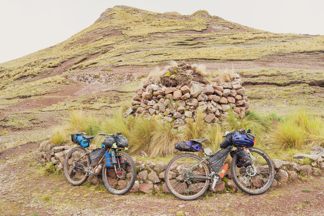
We crossed a first small pass, marked with two big apachetas, which are sacred cairns sometimes dating back to Inca times. They are built to thank Pachamama and the Apus (gods of the mountains). It’s customary to leave a few leaves of coca as you pass.
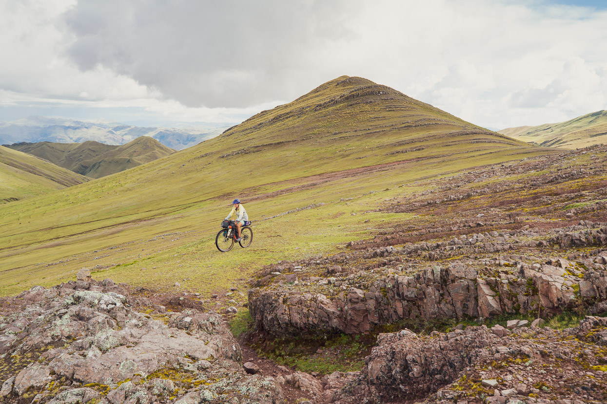
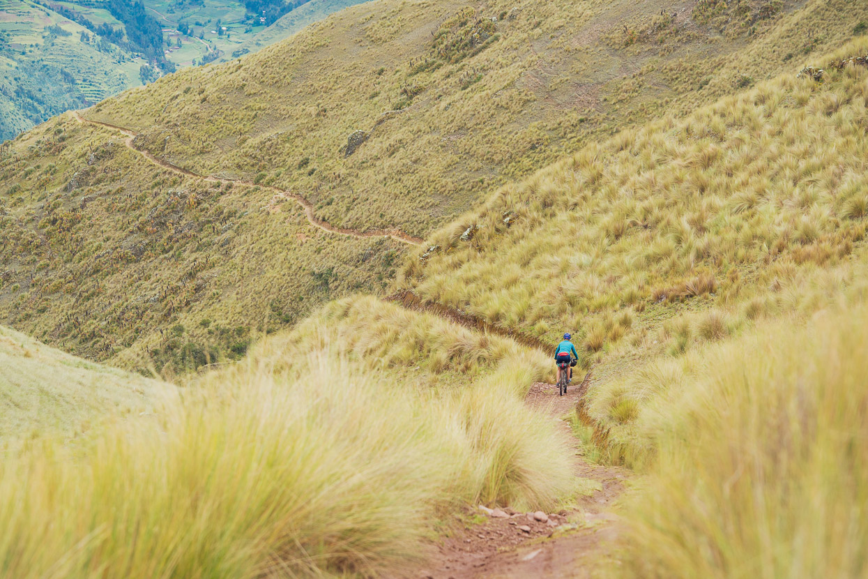
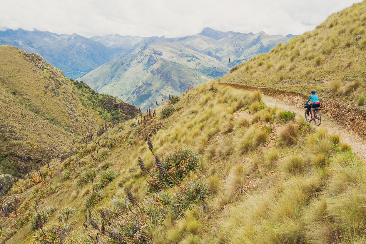
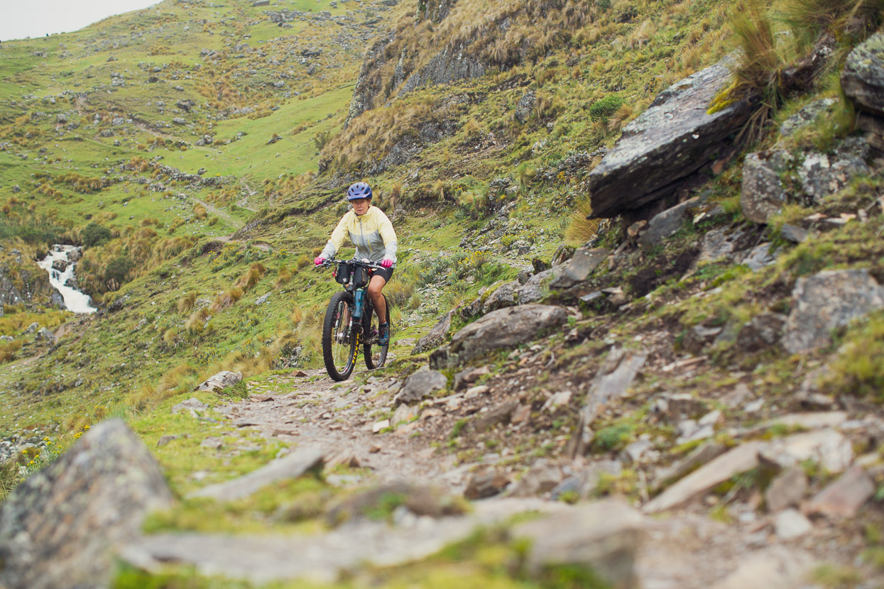
The Apus must have blessed us, because beyond lay the most perfect of single tracks along to the highest pass.
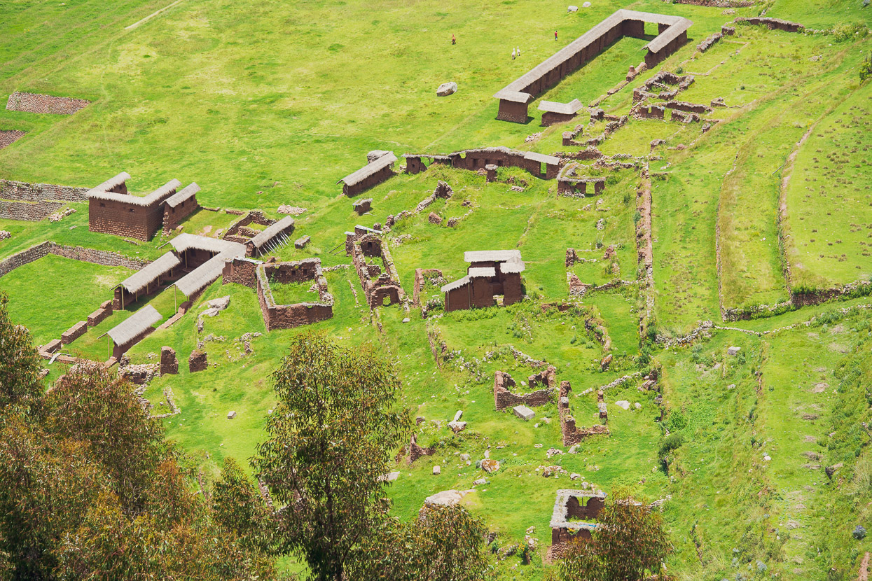
From the pass a perfectly maintained trail dropped over 800 vertical metres towards the ruins of Huchuy Qosco, which we’d visited once before. This trail is a true gem, and unlike the trail that takes the next valley to the east down to the ruins, is not illegal to ride. A perfect bikepacking route from Cusco to the Sacred Valley.
We bypassed the ruins this time and instead joined a narrow gravel road that switchbacked its way down another 1000m to the valley floor, where we mostly followed dirt roads and bit of pavement towards Ollantaytambo for the night.
We’d been in touch with a couple of other bikepackers, Saimon and Nacho (who were Sacred Valley based at the time) and for a training ride they actually rode up the hill to just past the Huchuy Qosco ruins to meet us, so on the way to Ollantaytamo we stopped in at their place for a late lunch. More about them soon.
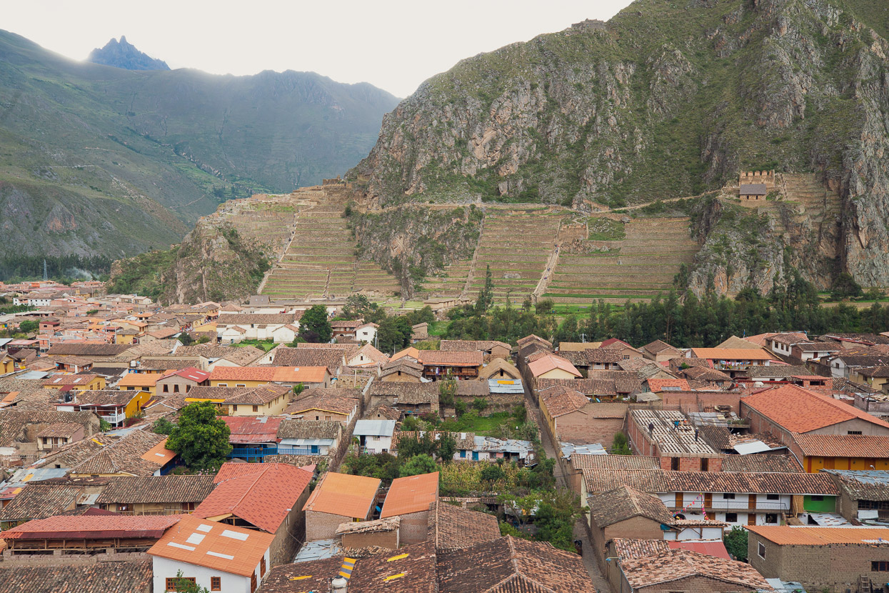
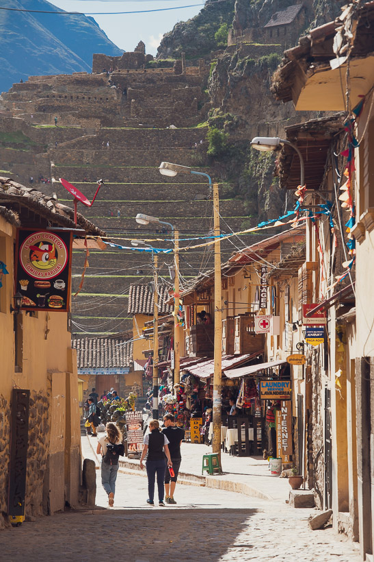
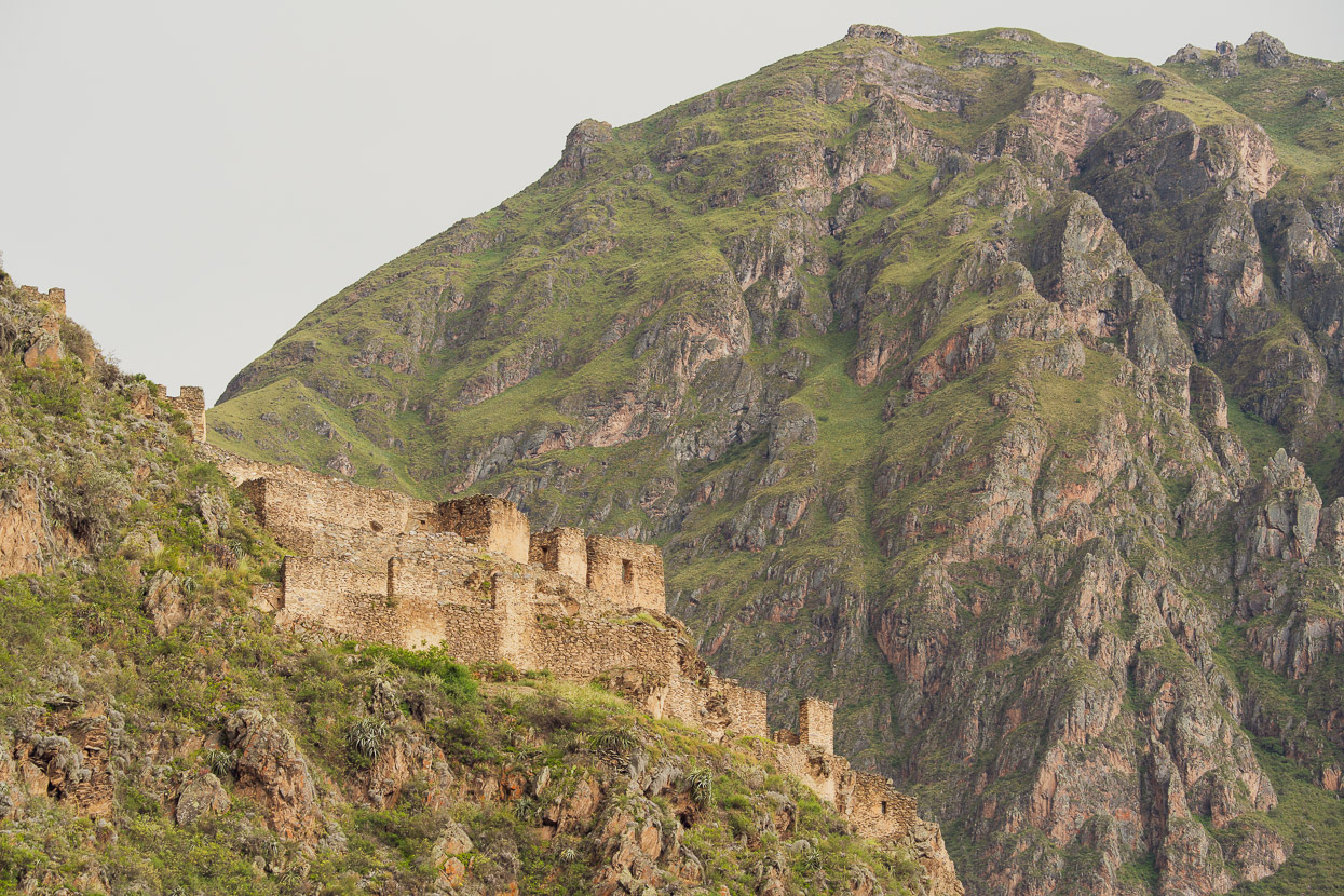
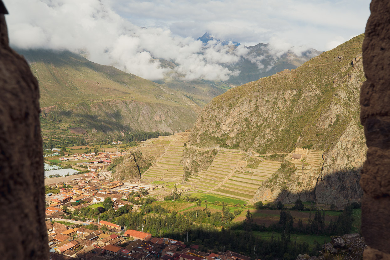
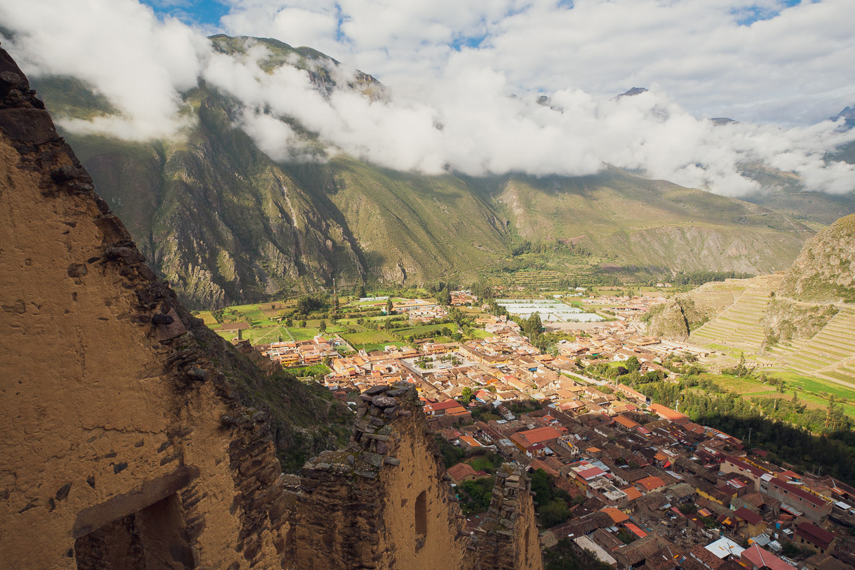
Ollantaytambo is a beautiful, ancient Inca town nestled in the bottom of the confluence of some rugged alpine valleys. It’s quite a bit lower than Cusco, so the climate’s a bit more pleasant. It’s also a stop on the railway line for the train to Machu Picchu, making it quite a busy little tourist town. Some impressive ruins and terraces sprawl over the hillside right above an old Inca plaza.
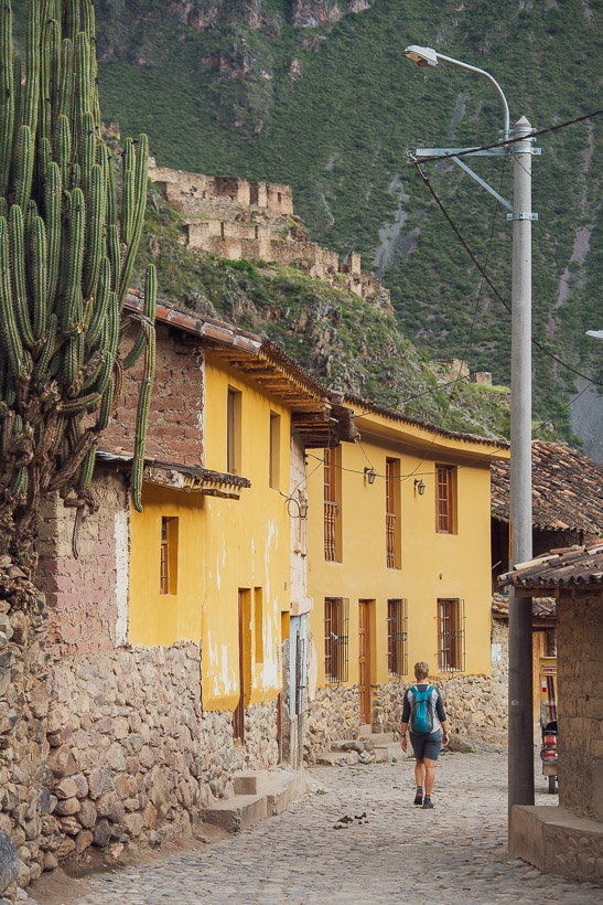
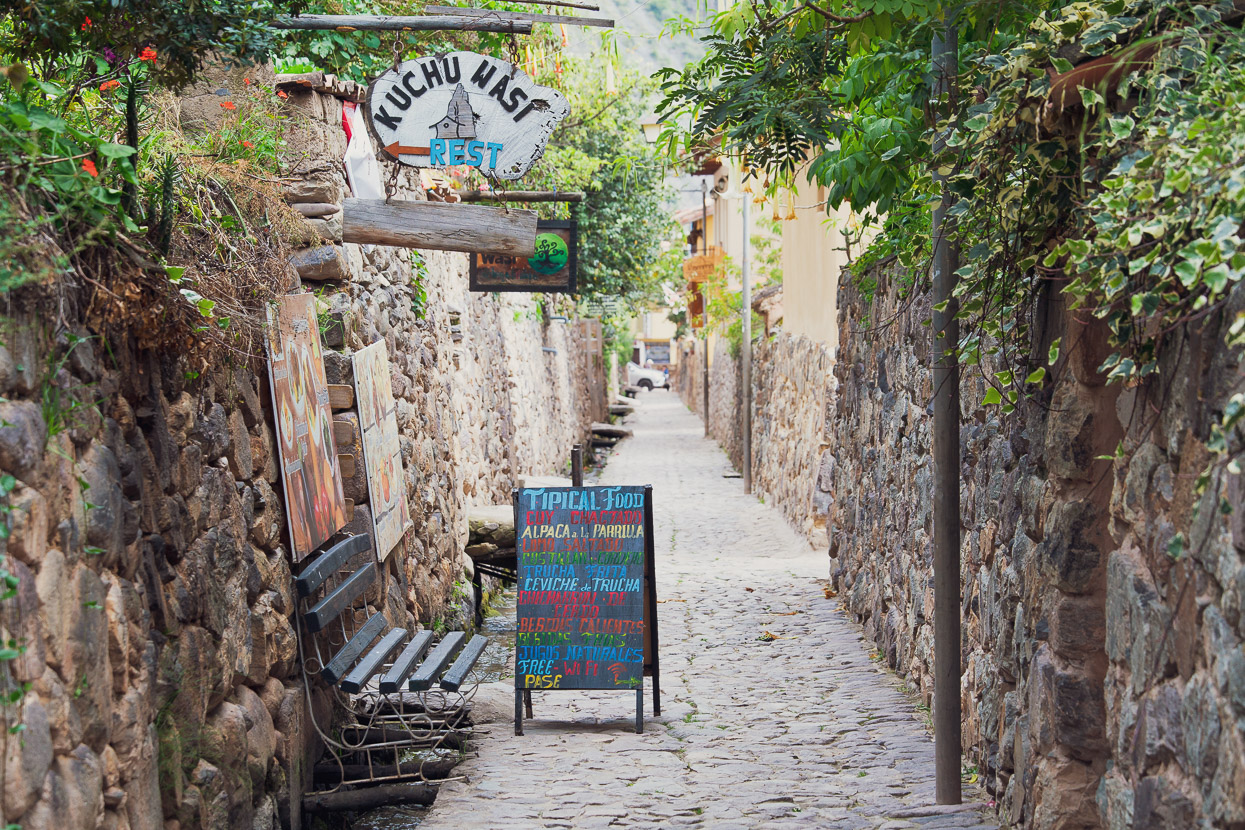
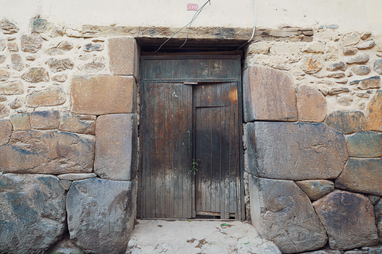
The modern town is itself built right among the original Inca village and many of the doorways to the former homes of the Inca elite still exist, opening into big courtyards.
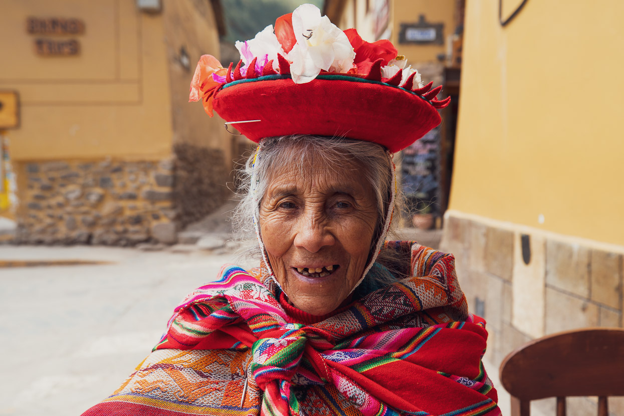
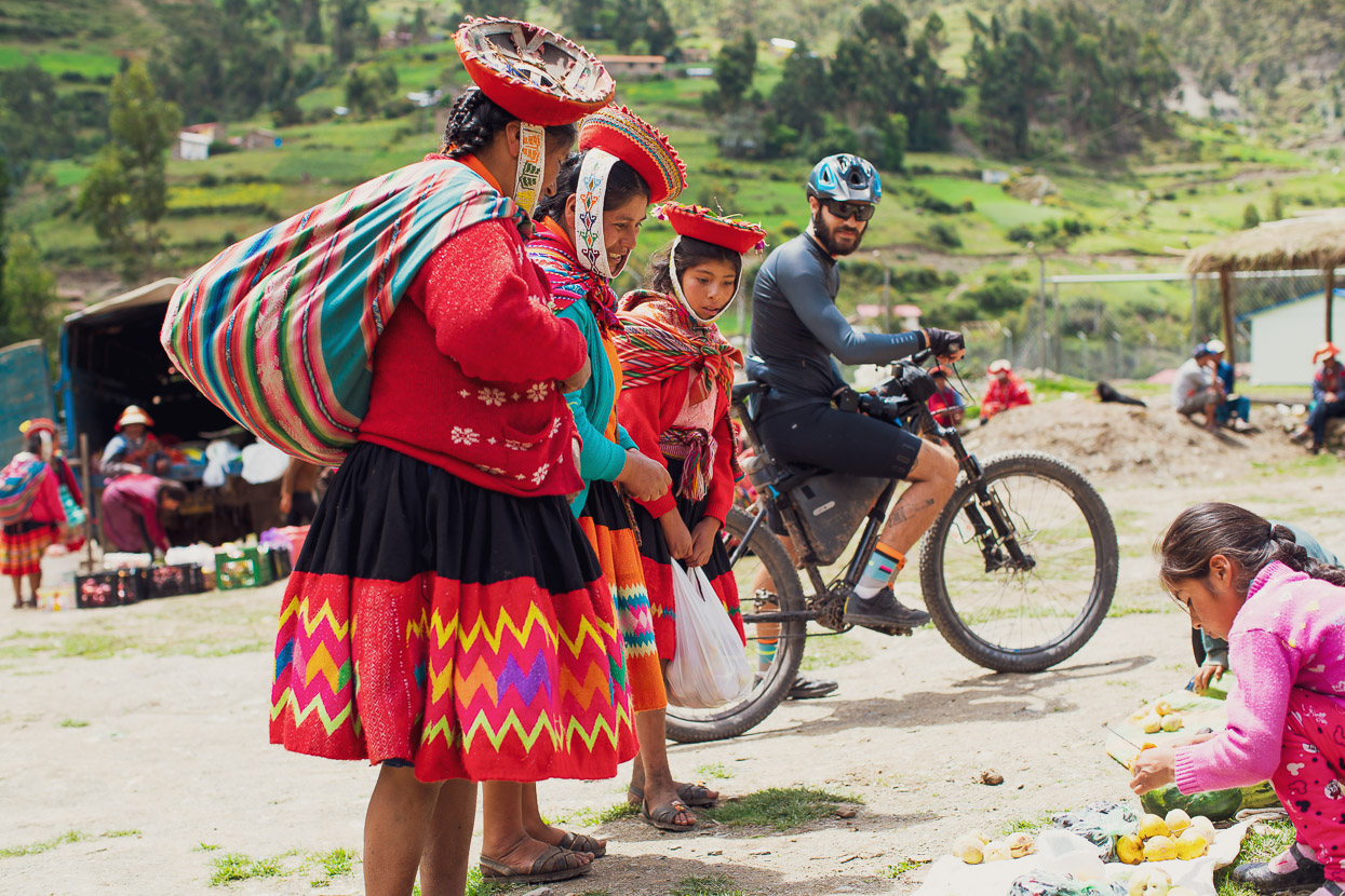
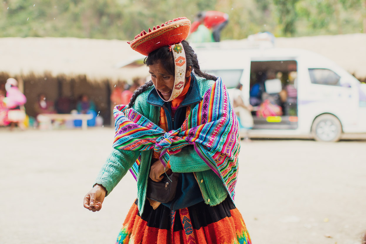
The villages in the valleys around Ollantaytambo have remained indigenous and strongly traditional. The inhabitants are direct descendants of the inca. So it’s very common to see people in their traditional outfits, walking to market in town or selling artesania crafts on the street.
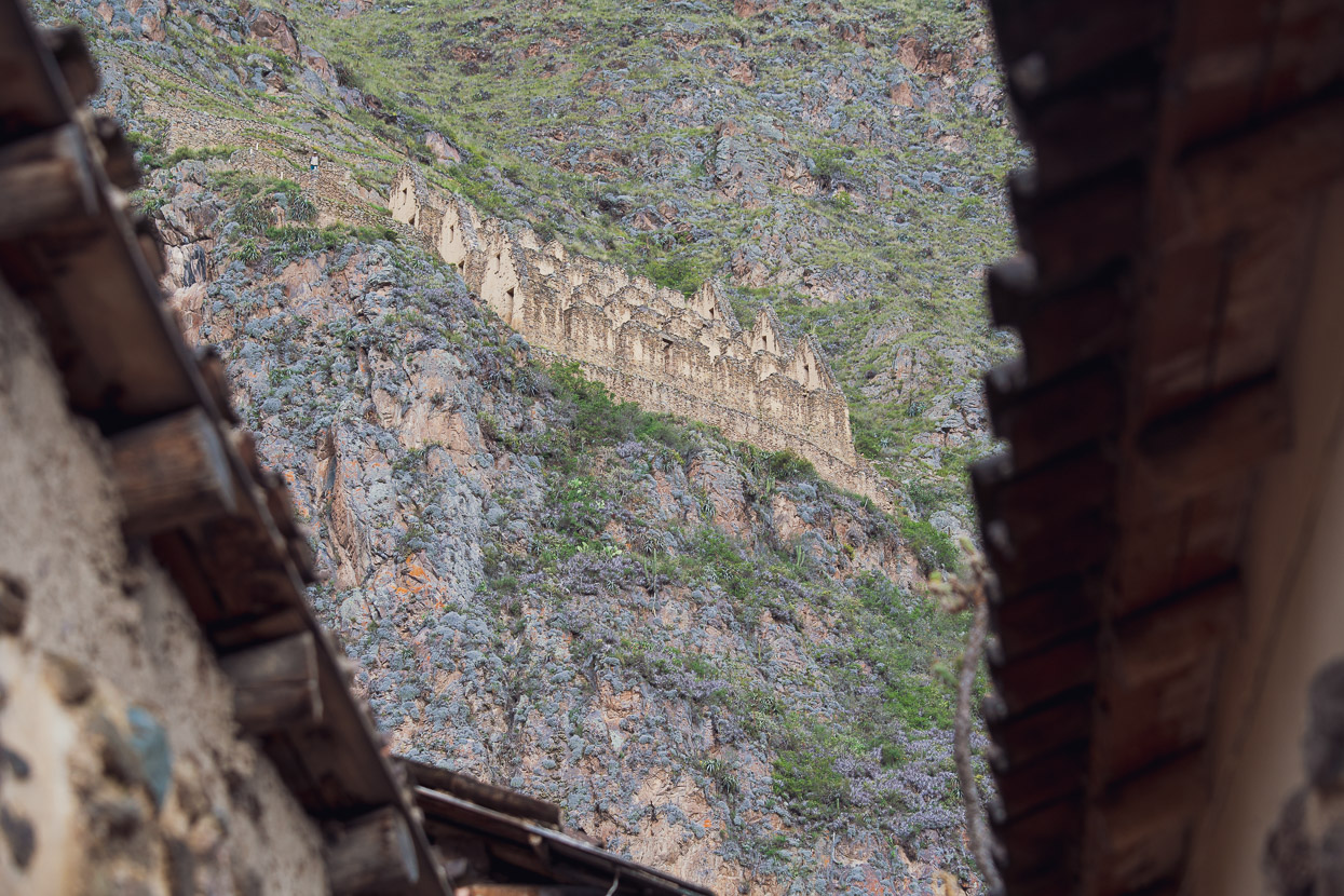
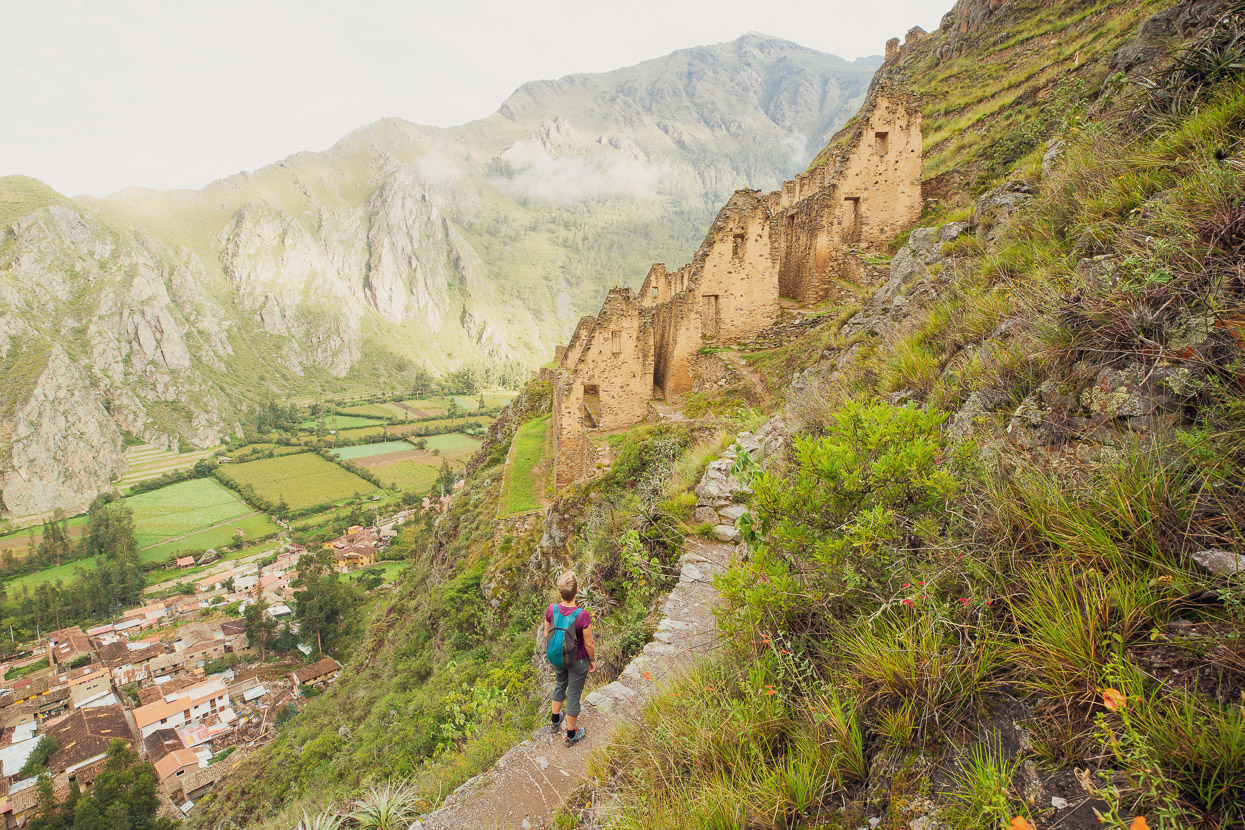
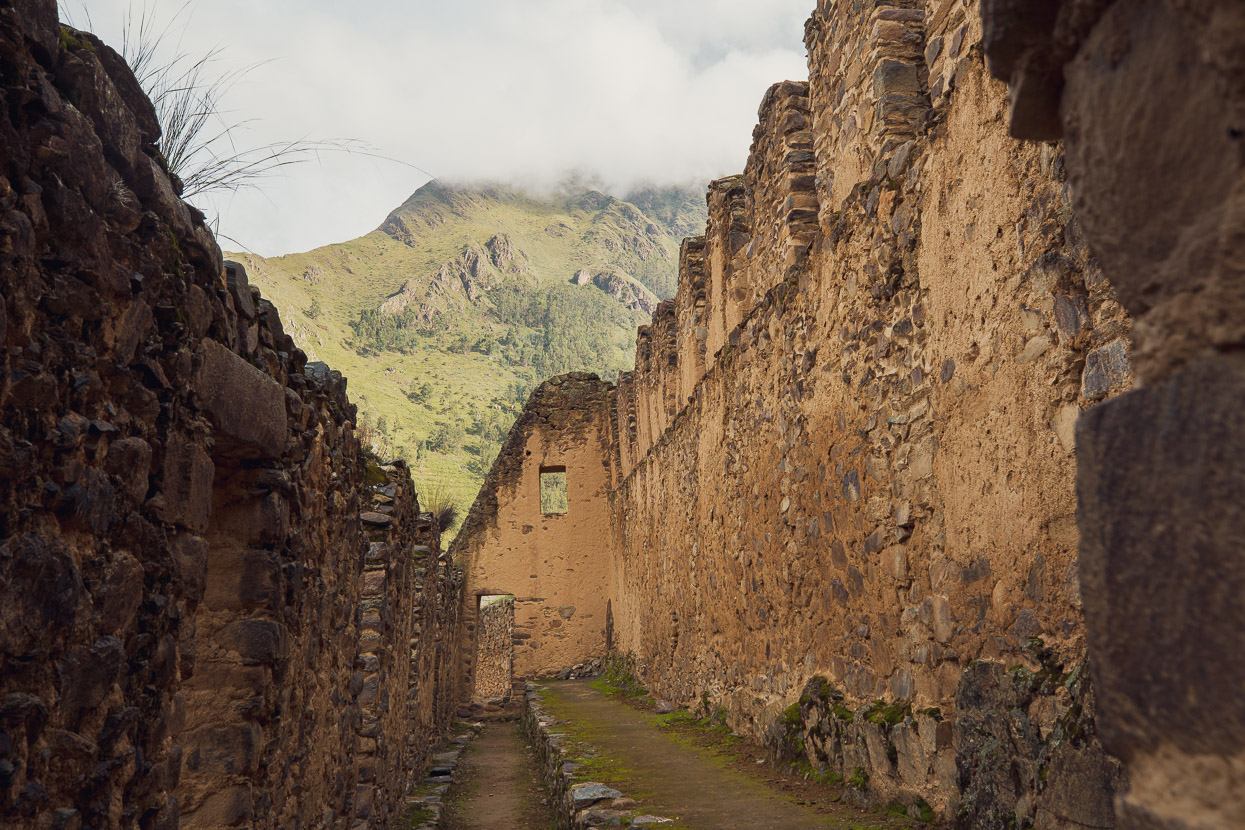
You have to pay to enter the main ruins at Ollantaytambo (we planned to visit them later with Hana’s mum when she came to Cusco to meet us), but on the other side of the valley and from a trail starting right on the edge of town you can walk to some ancient granaries. The Inca built them high on the hill to protect them from attacks, and because the air was slightly drier away from the valley floor.
Our friend Scott Pauker had tipped us off about a classic day ride in the Patacancha Valley, which climbs right to a 4400m pass on a dirt road, before returning most of the way back down valley on singletrack. Saimon and Nacho joined us for this one. They were both Sacred Valley based at the time while they were preparing for a big bikepacking and packrafting adventure from here to the Amazon river town of Iquitos, over 1500km further north. As I write this they’re now past Atalaya and back on the bikes headed north, before rejoining the river at Pucallpa. Check them out on Instagram.
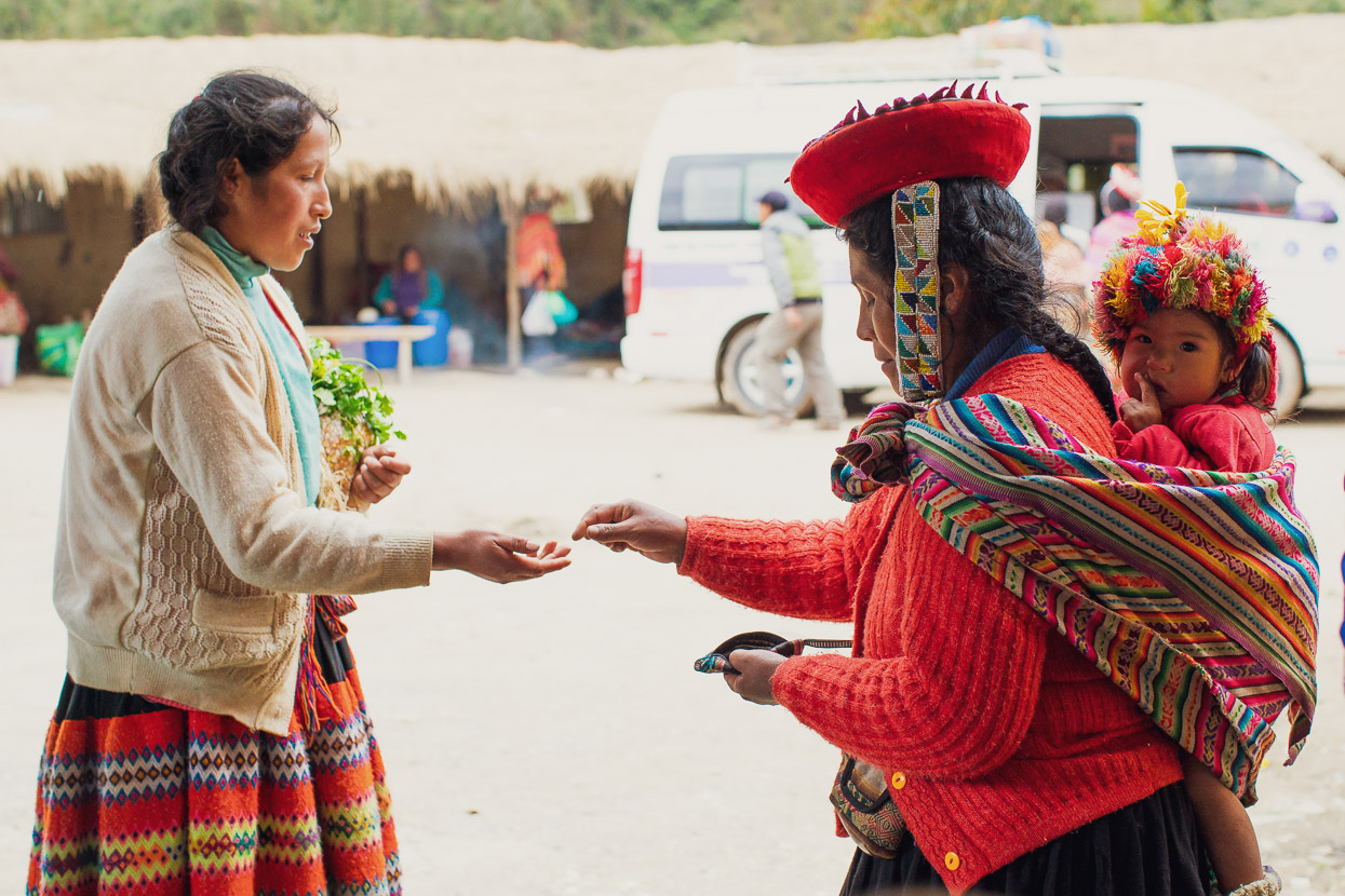
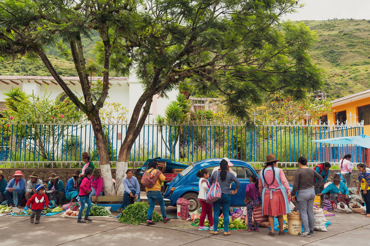
We stopped in at Willoc to check out the market there and buy some snacks. The traditional dress people wear here is just spectacular and its refreshing to see traditional ways alive and well.
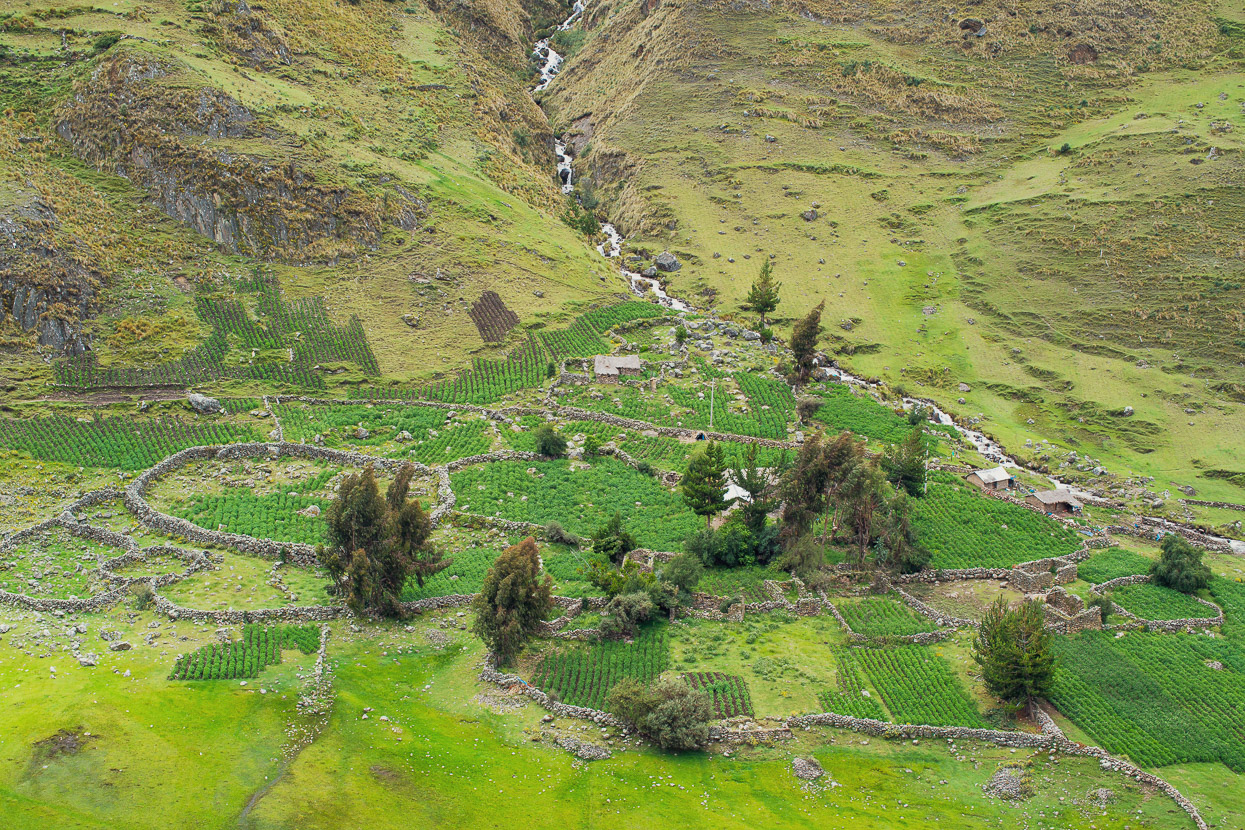
Aside from the villages Willoc and Patacancha, the valley is only populated by indigenous campesinos spread out in simple dwellings.
We stop to chat when we can.
We rode uphill for several hours, but with the weather closing in, decided to turn around at about 4000m and begin the descent, hoping to beat the afternoon rain.
We picked up the single track that descends the opposite side of the valley to the road and took off down valley, chased by rain showers. Most of the ride is a classic, with a mix of easy and technical single track descending well over 1000m back down to Ollantaytambo.
The thunderstorm finally caught up with us in Patacancha, where it was market day, so we sought refuge from the rain under a shelter and took the opportunity to eat some hot food. Watching people come and go from the market and buying and selling supplies was a real treat. We were very much outsiders of course, but bicycles are a great equaliser and help you get away with a lot. Arriving under our own power seemed to make us more accepted in the village than if we’d hopped out of a van with a guide, with cameras swinging from our necks.
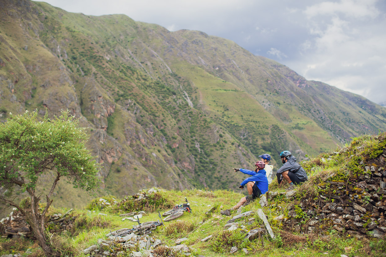
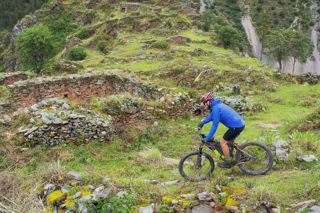
With the rainstorm over we rode on as the track undulated on down valley, sometimes passing though small hamlets and overgrown Inca ruins.
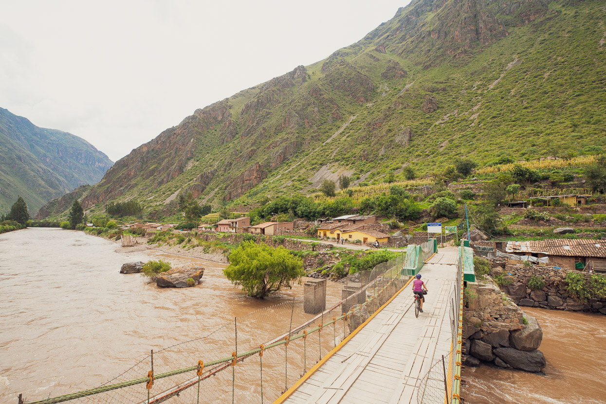
Back in Ollantaytambo we sadly parted ways with Saimon and Nacho. They’d been great company and share much of the same philosophies towards travel as us. They had final preps to make for their epic adventure, and we needed to start on the next leg of our own journey to the Amazon. After a day to rest, we continued, crossing the Rio Urubamba and heading towards Curahuasi and Cachora to start the Choquequirao hike.
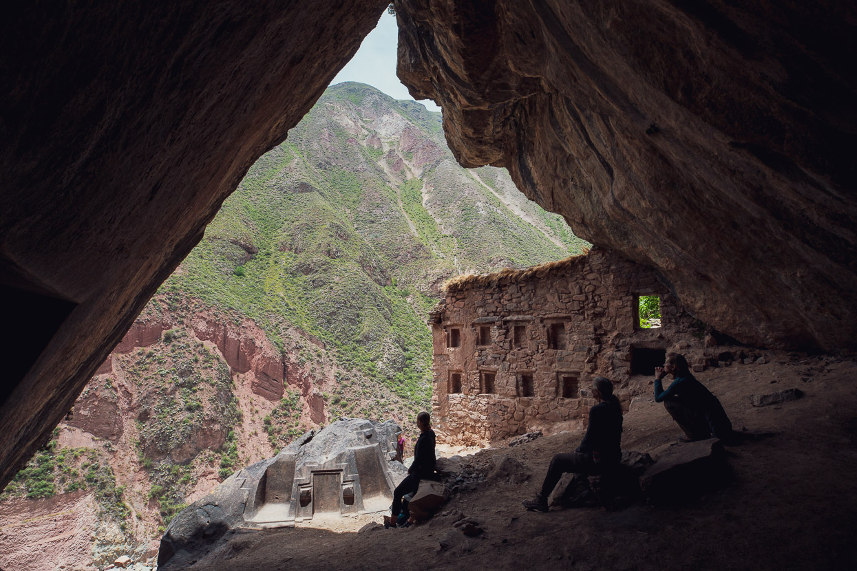
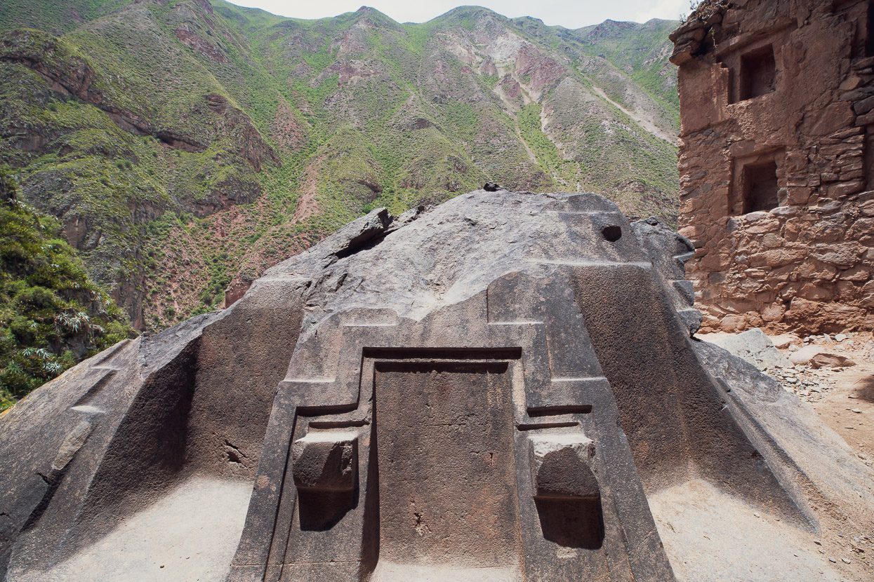
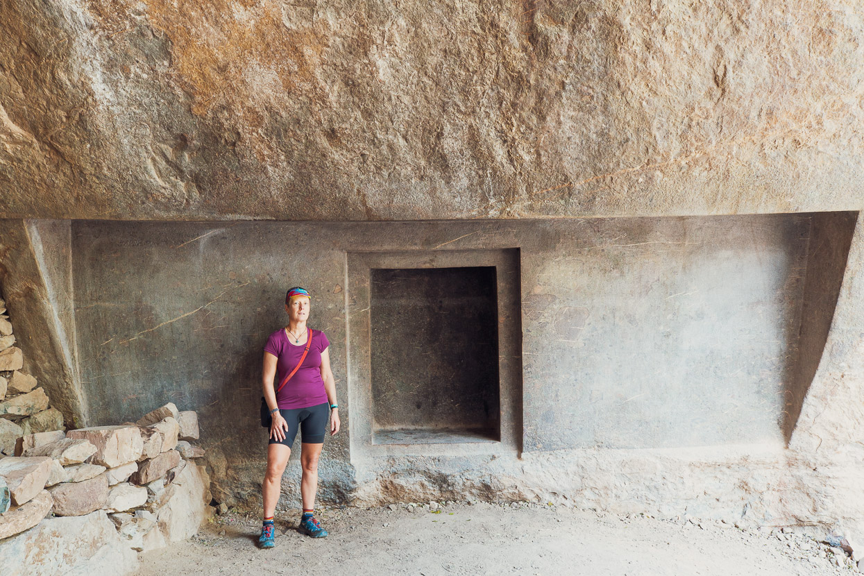
Shortly after crossing the Rio Urubamba, on the road to Ancahuasi, we stopped to check out the site of Choquequilla (also known as the Naupa Iglesia). This mysterious archeological site is pre-Inca, but apparently even the Aymara who populated the area prior to that are unsure of its provenance. The main features are a carved limestone altar, with three ‘thrones’ and then a huge inset ‘door’ in the wall of the cave. Apparently the stone work is so precise it would be very difficult to replicate now, even with modern technology. It’s mind-boggling to imagine that all this was achieved with only basic stone tools.
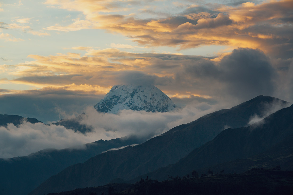
Our first day out of Ollantaytambo ended with a perfect campsite on a grassy knoll high above the Rio Colorado, which flows into the Rio Apurimac. As we set up camp the stunning mitre of Nevado Salkantay (6271m) appeared through layers in the cloud. We’d be passing closer by this Cordillera Vilcabamba peak in a few days, after our Choquequirao hike.
Avoiding the paved road that descends deep into the valley as long as possible we followed dirt tracks past small villages and farms, until eventually dropping down to Limatambo on the Cusco-Abancay highway.
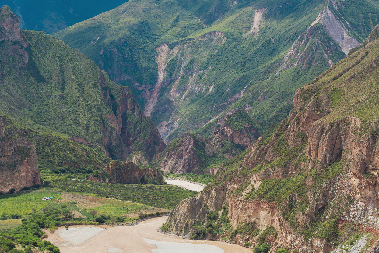
Fast pavement led us down to the decidedly tropical feeling valley of the Rio Apurimac at a lowly 1850m, before beginning a long climb out of the valley to Curahuasi, back at 2700m, where we spent the night.
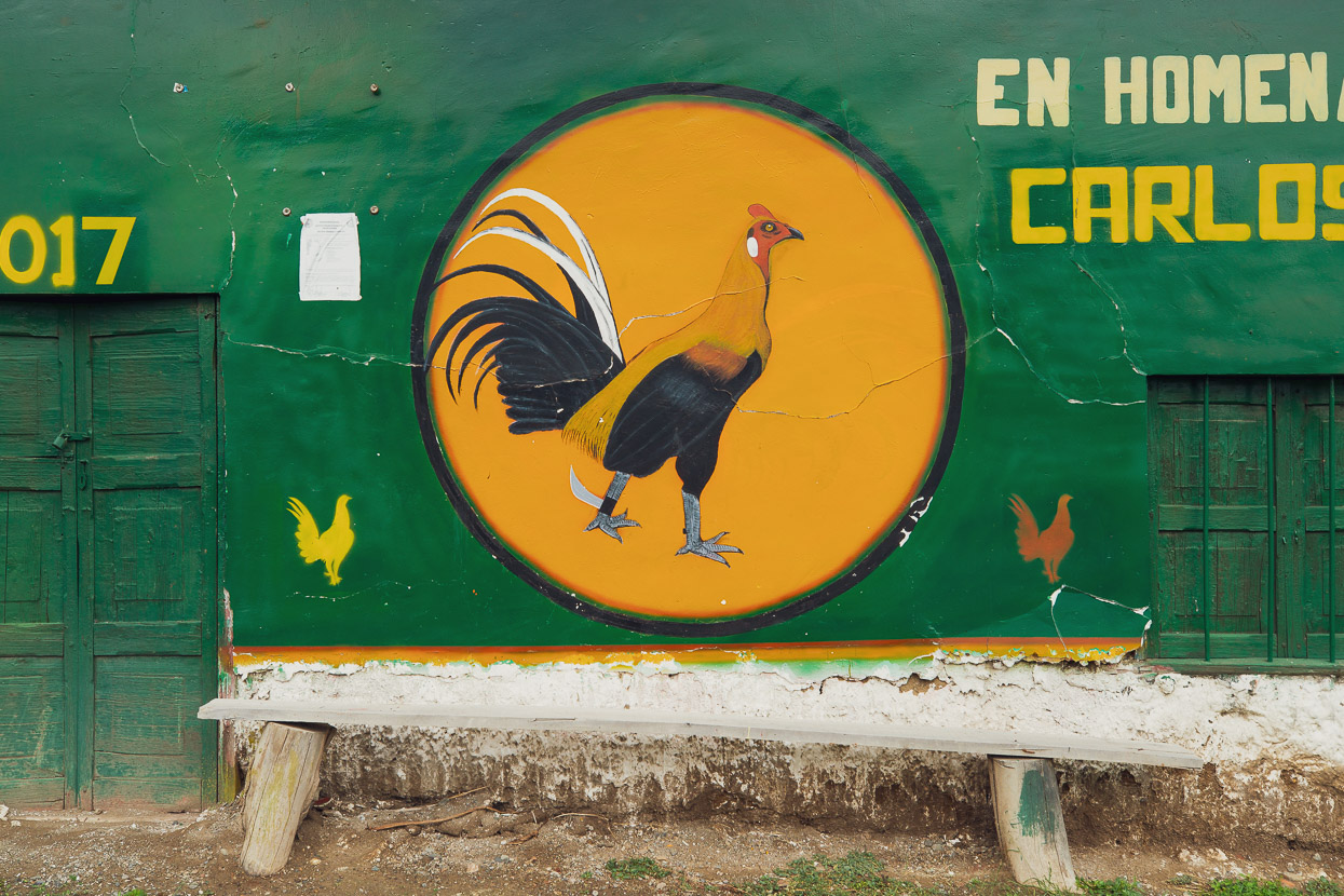
Along with bullfighting, cockfighting is still popular in Peru.
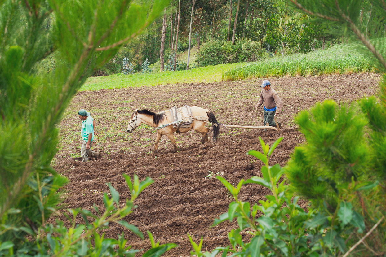
Along with animal-drawn ploughs.
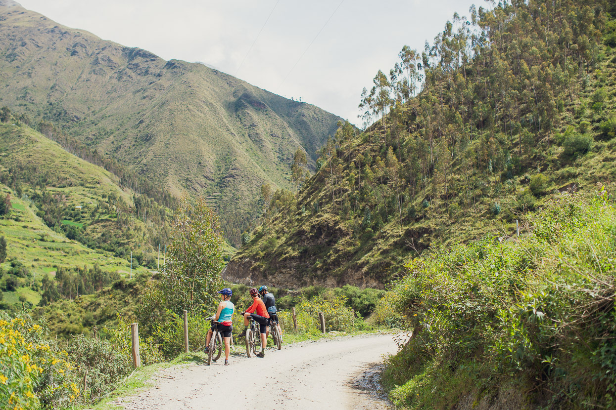
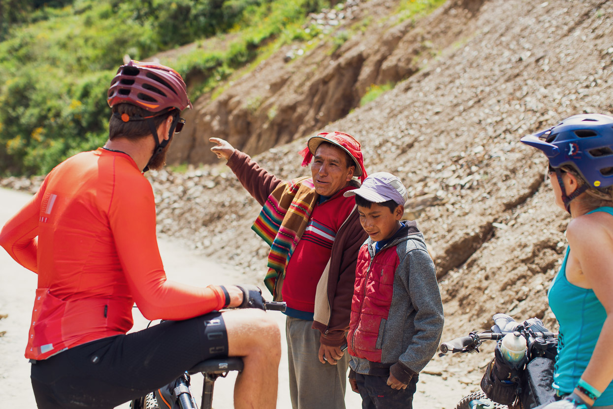
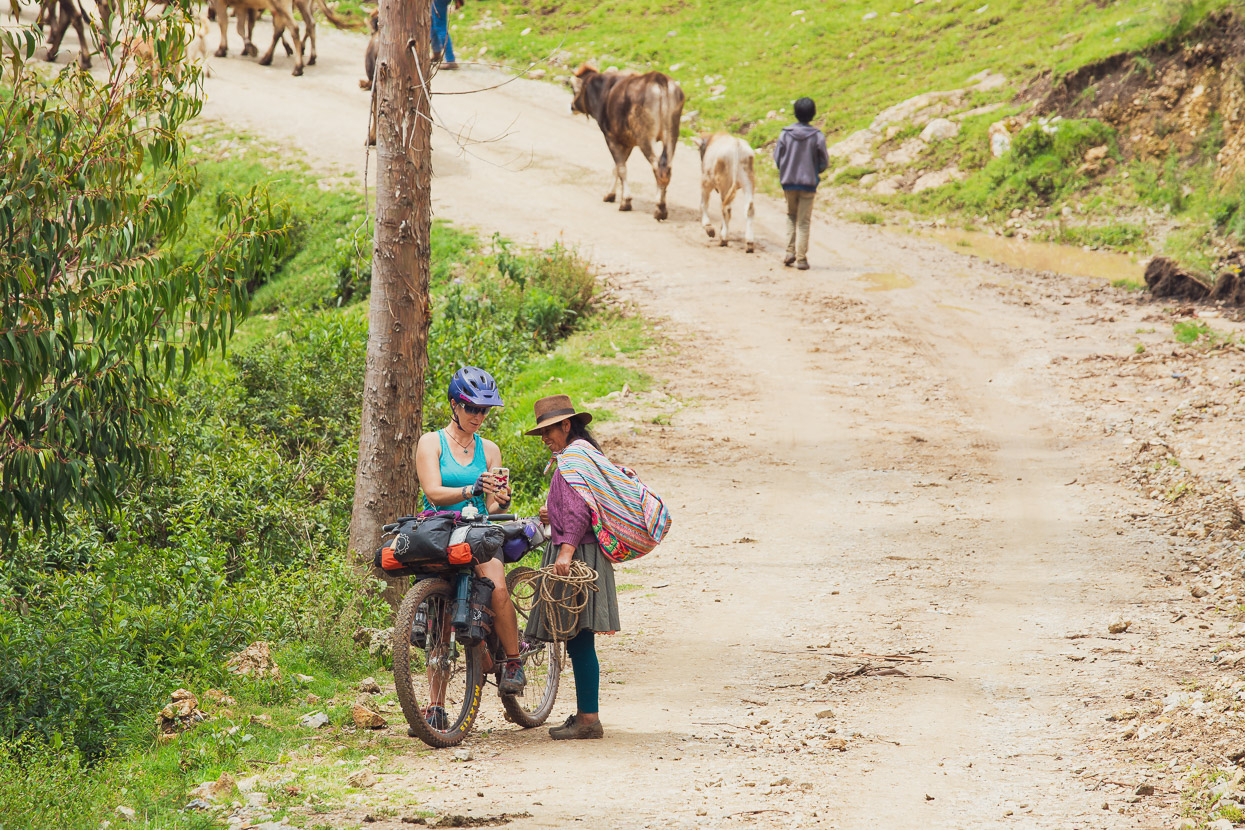
There’s a nice dirt alternative climb heading from outside Curahuasi up to the turn off for Cachora. We stopped and talked to a few locals along the way – always curious to see cyclists away from the paved roads.
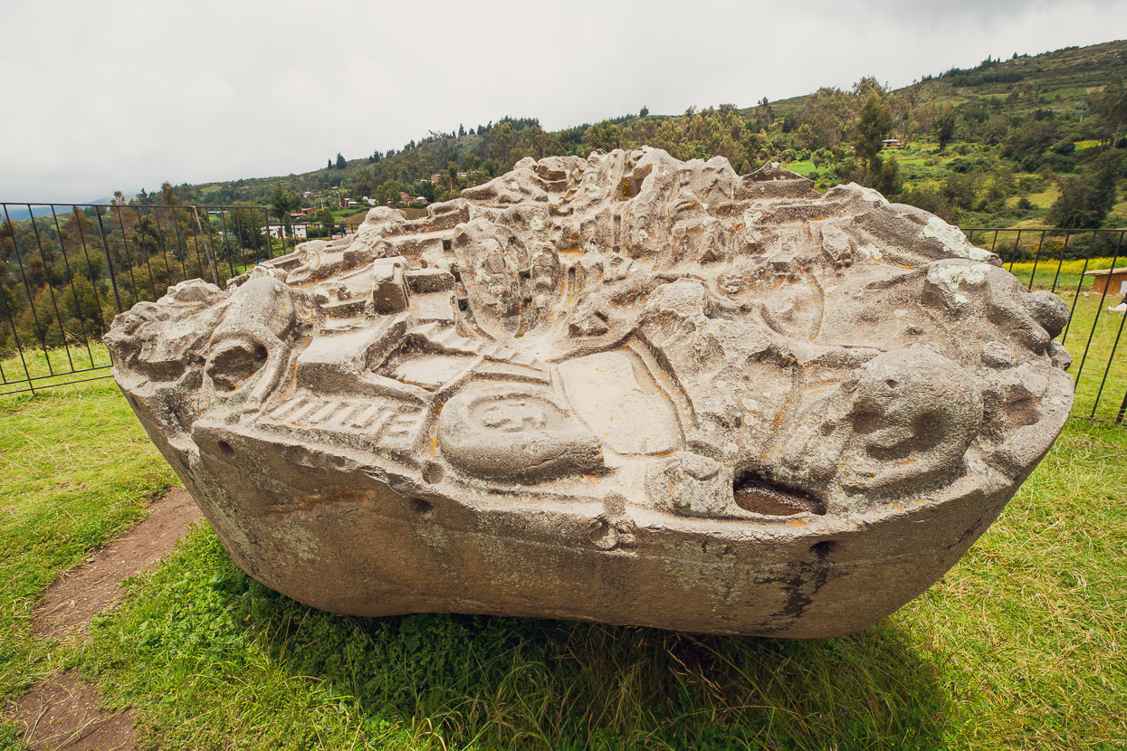
The dirt road took us straight past the interesting Inca-era Sayhuite Monolith – a huge boulder that contains more than 200 geometric and zoomorphic carved figures, including reptiles, frogs, and felines.
From Wikipedia: the stone was sculpted as a topographical hydraulic model, complete with terraces, ponds, rivers, tunnels, and irrigation channels. The functions or purposes of the stone are not known, but researcher Dr. Arlan Andrews, Sr. believes the monolith was used as a scale model to design, develop, test, and document the water flow for public water projects, and to teach ancient engineers and technicians the concepts and practices required. The rock was “edited” several times, with new material, either altering the paths of the water or adding routes altogether.
There are several other small temples at the site, which at the time of the Spanish arrival were under the care of the priestess Asarpay, who tragically jumped to her death in the nearby 400 metre gorge to avoid capture by Spanish forces.
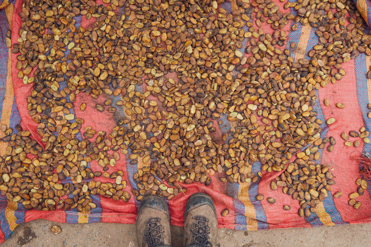
Large beans (haba) drying in the sun. Toasted and salted they make a nice snack.
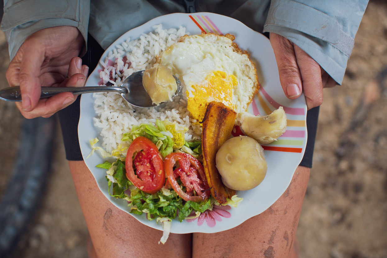
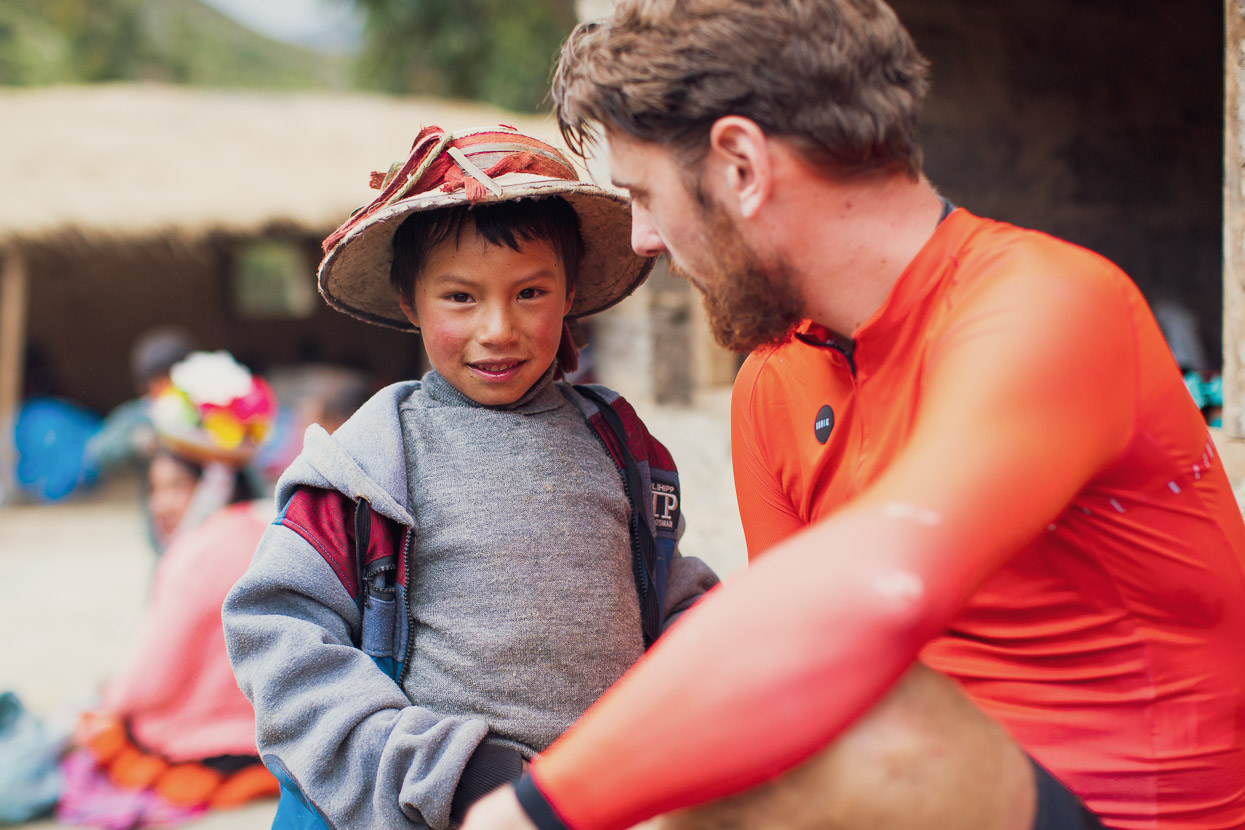
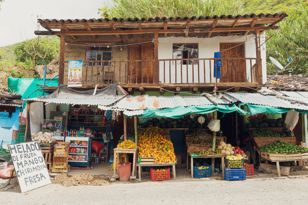
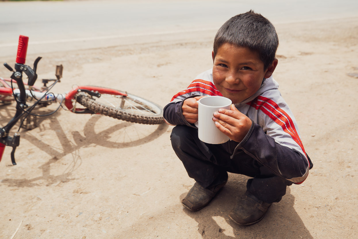
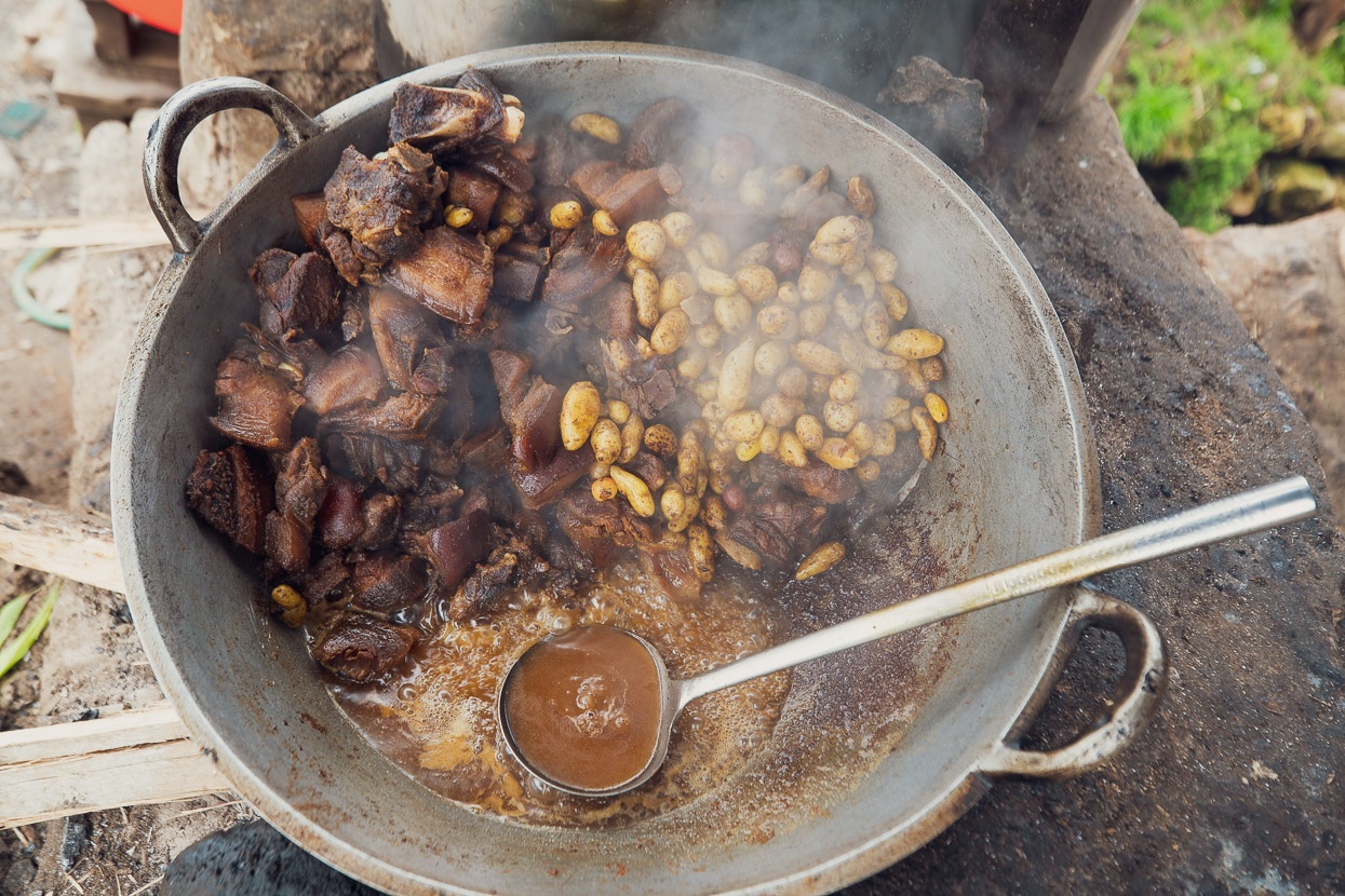
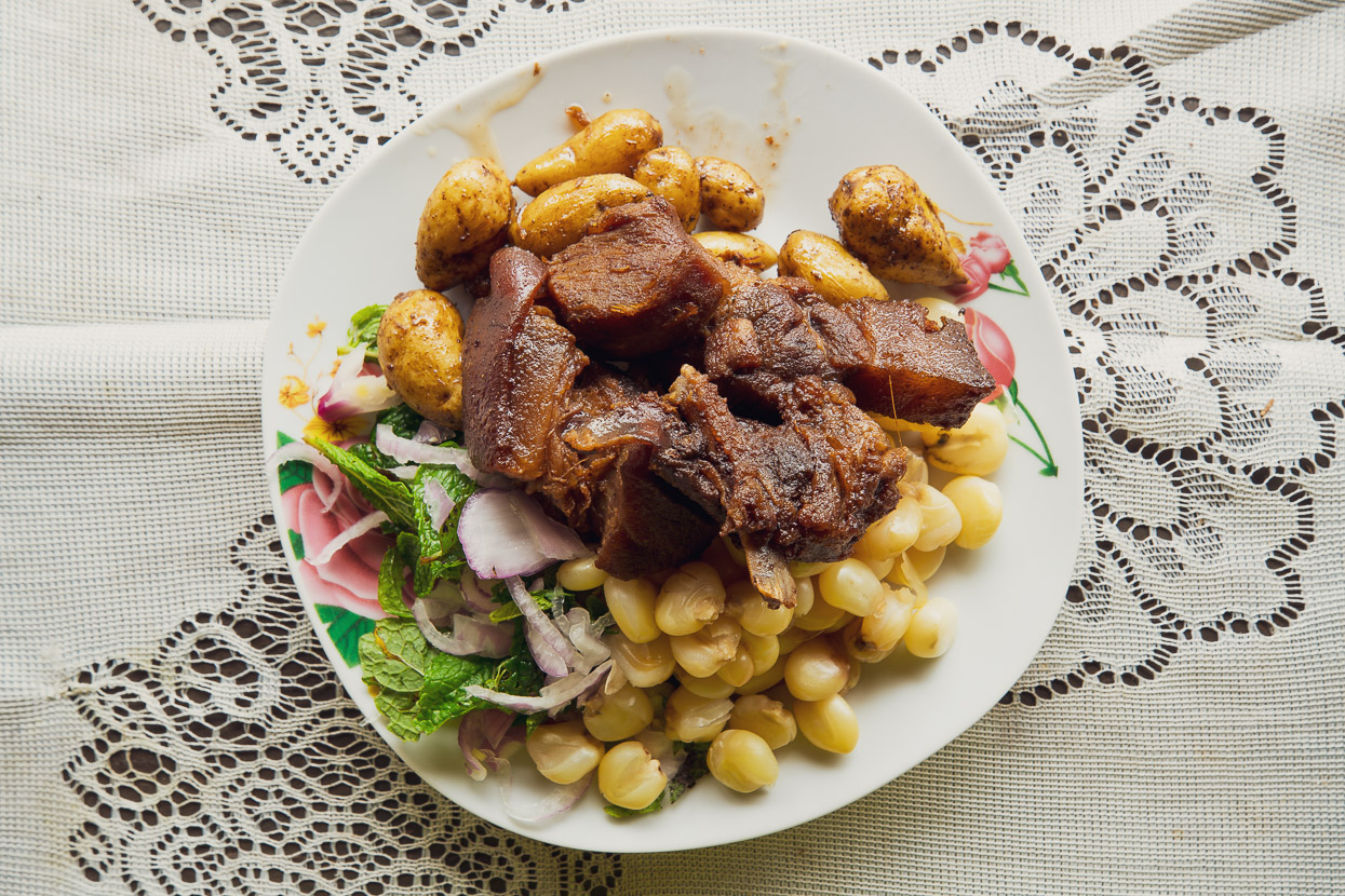
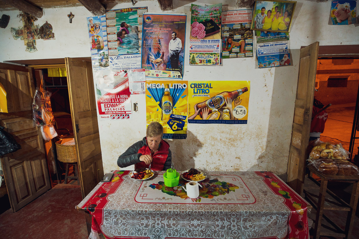
Our climb ended at the turnoff from the highway to Cachora, so we stopped for a filling lunch of chicharron de chanco, which is a typical Peruvian dish of fried pork. Not what we’d normally eat for lunch, but when you don’t have any choice you learn not to be fussy! It’s definitely a meal that keeps you going for a while. The son of the woman cooking the chanco was really nice young lad. Without protest he rode off to collect a big load of firewood on his back to keep the chanco cooking, and sat and watched us intently while he sipped a big cup of coffee.
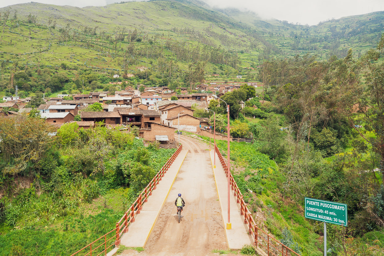
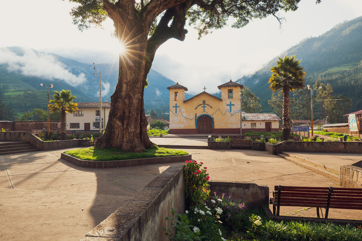
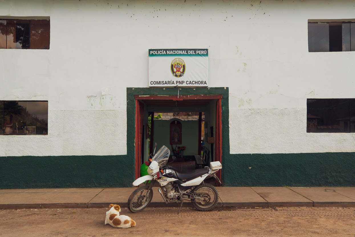
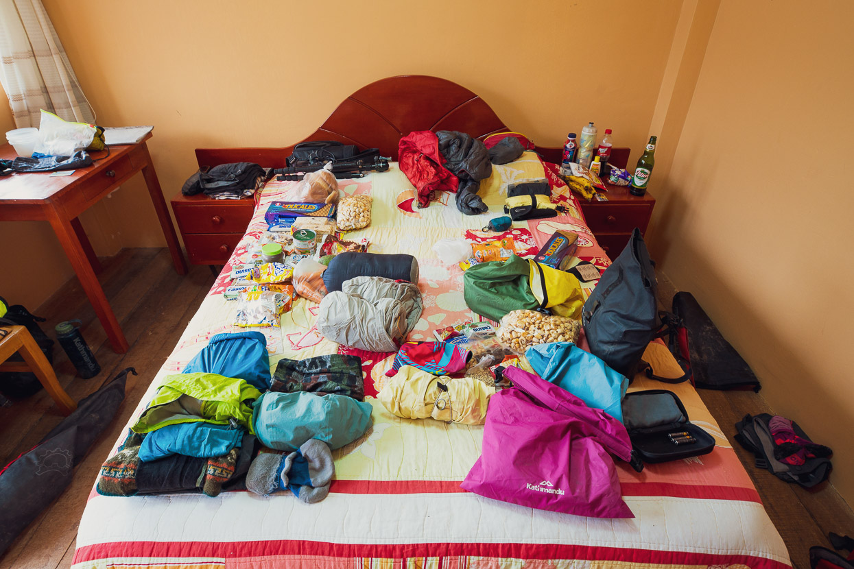
A 1000m dirt road descent dropped us down to the pleasant little village of Cachora, which is the base camp for hikers heading into Choquequirao. This remote site is a two day hike for most people to reach, so it only sees about half a dozen visitors a day on average, making Cachora a pretty quiet place. We had to swap modes from cycling to walking here, so we spent the afternoon hiring a couple of packs and poles, and buying four days food.
I’ll continue the story of Choquequirao in the next post …
Do you enjoy our blog content? Find it useful? We love it when people shout us a beer or contribute to our ongoing expenses!
Creating content for this site – as much as we love it – is time consuming and adds to travel costs. Every little bit helps, and your contributions motivate us to work on more bicycle travel-related content.
Thanks to Biomaxa, Revelate Designs, Kathmandu, Hope Technology and Pureflow for supporting Alaska to Argentina.



I can’t begin to tell you what a highlight it is to find another Blog popping up so early in the morning – the highlight of the day. Bless you, you write so well & the accompanying photos bring it all to life, which words, perhaps can’t convey – the scenery, the colour, the hats, the skirts, the history , oh I could go on & on ! Some scenes remind me of the Lindis Pass, & others of Scotland ! There is much to amuse & think about. How we’re all on this planet together & yet how very different our lives are .How I’d love to swap a big bag of my Granny Smith apples, for a shawl of those delicious mangoes !! How wonderful that you’re about to meet up with Hannah’s Mother in Cusco. Will she come with a ‘food kitty’ of good old kiwi staples, like vegemite or pineapple lumps ? Or maybe an ‘over the top’Marlborough Sauvignon Blanc ? I have a dental bill to pay tomorrow (!!) maybe after that, I can shout you a beer ?
Please ask the ladies, do they make their own skirts ?
Travel safely & thank you for the unending pleasure you give us all.
Thanks Madge, it’s nice to hear from you. glad you’re still enjoying out posts!
Yes we did get a good stash of Kiwi goodies – jaffas, Whittakers, peanut butter and decent tea! Very happy, and it’s been a great couple of weeks off the bikes seeing some very interesting sights. The women do a lot of their own weaving and knitting, but I think they buy the skirts themselves in the bigger towns.
More from us soon!
I wish history class in school was half this interesting.
Thanks! I’ll try and keep it that way 😉