Ayacucho Department.
The ride through Ayacucho department has been one of the most varied on the Peru Divide route so far, from the golden heights of the pampa through to the dry and shadowy depths of the Rio Cangallo Canyon.
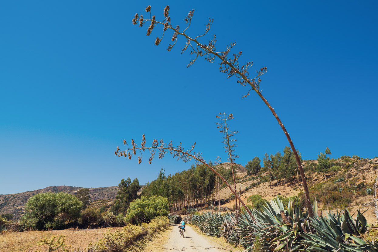
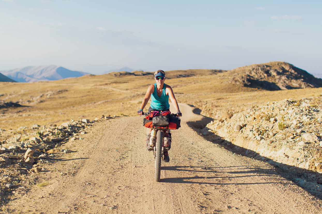
If anything’s been consistent, it’s the friendliness of the indigenous people, each with their own distinct style of traje (costume) and hats, as we ride from village to village. And the riding itself? It’s been fantastic; the roads are so quiet we rarely see more than one vehicle an hour, and more often than not, it’s just a motorbike. People here are simply too poor to own vehicles, so most of the inter-village transport is via collectivo, which are usually vans operating a semi-regular bus schedule. That means we have the roads to ourselves, mas o menos, and fun roads they are too, with surfaces that make us glad of big tyres and long windy downhills that leave us dust covered and grinning.
We’d had an excellent break in Ayacucho (previous post), with some writing time for me, but after four days we were looking forward to getting back on the bikes and seeing what the final stretch of the Pikes Peru Divide route through to Santa Rosa on the Abancay highway was all about.
Ayacucho might have been a fine city break with plenty of ‘luxuries’, such as bakeries, ice cream and freshly cooked food, but after leaving Totos we were right back into it, with a 1000m climb straight out of town. That put us back up on the windy, high puna. We’d had a late start, due to putting new tyres, cassettes and chains on both bikes (stuff the film crew had delivered to us), so stopped just on dark in the village of Huertahuasi.
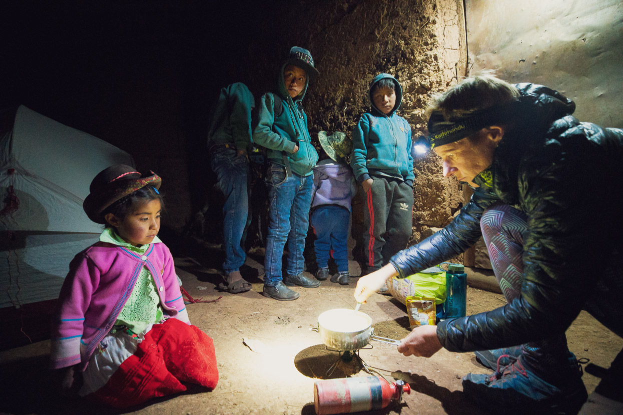
The village was very quiet, with everybody having retreated indoors for the night already, but we did see one adult, who straight away directed us to a porch and a water supply – easy. Some local kids were interested to see gringos in their village and hung out for about an hour, asking questions and watching with fascination while we pitched the tent, fired up our stove and solar light and began cooking a simple dinner of instant mash, tuna and eggs.
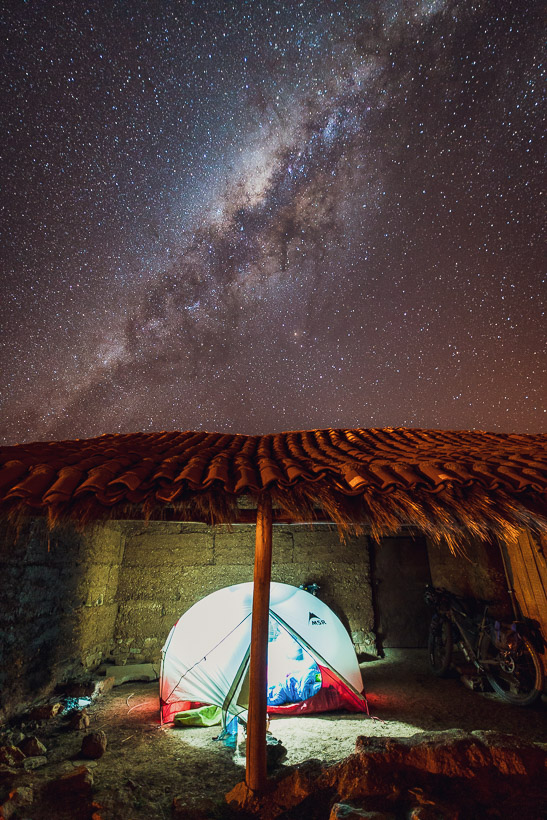
A perfect frost-free camp for the night, with incredibly clear night skies above (taken in the clear air of 4080m elevation).
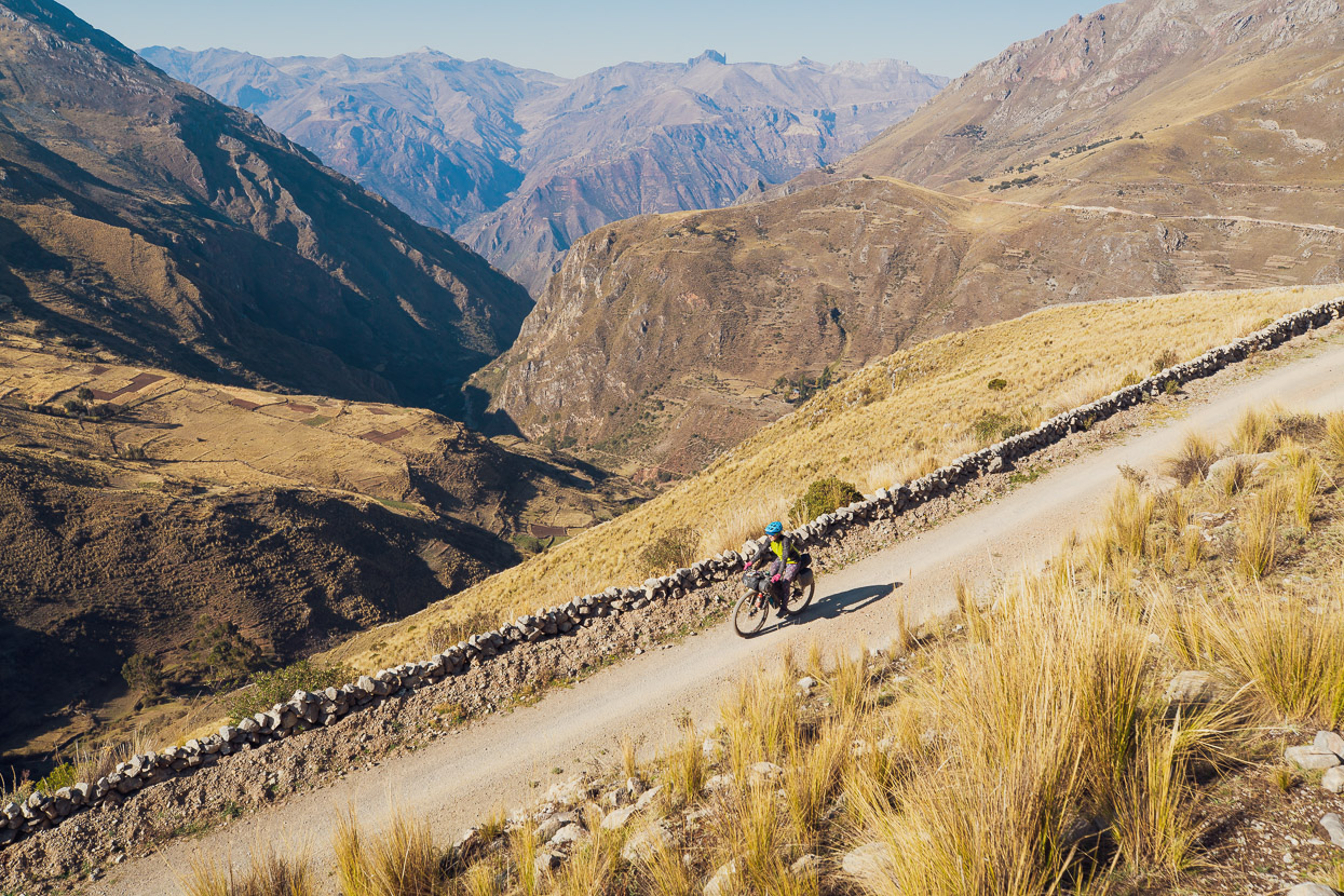
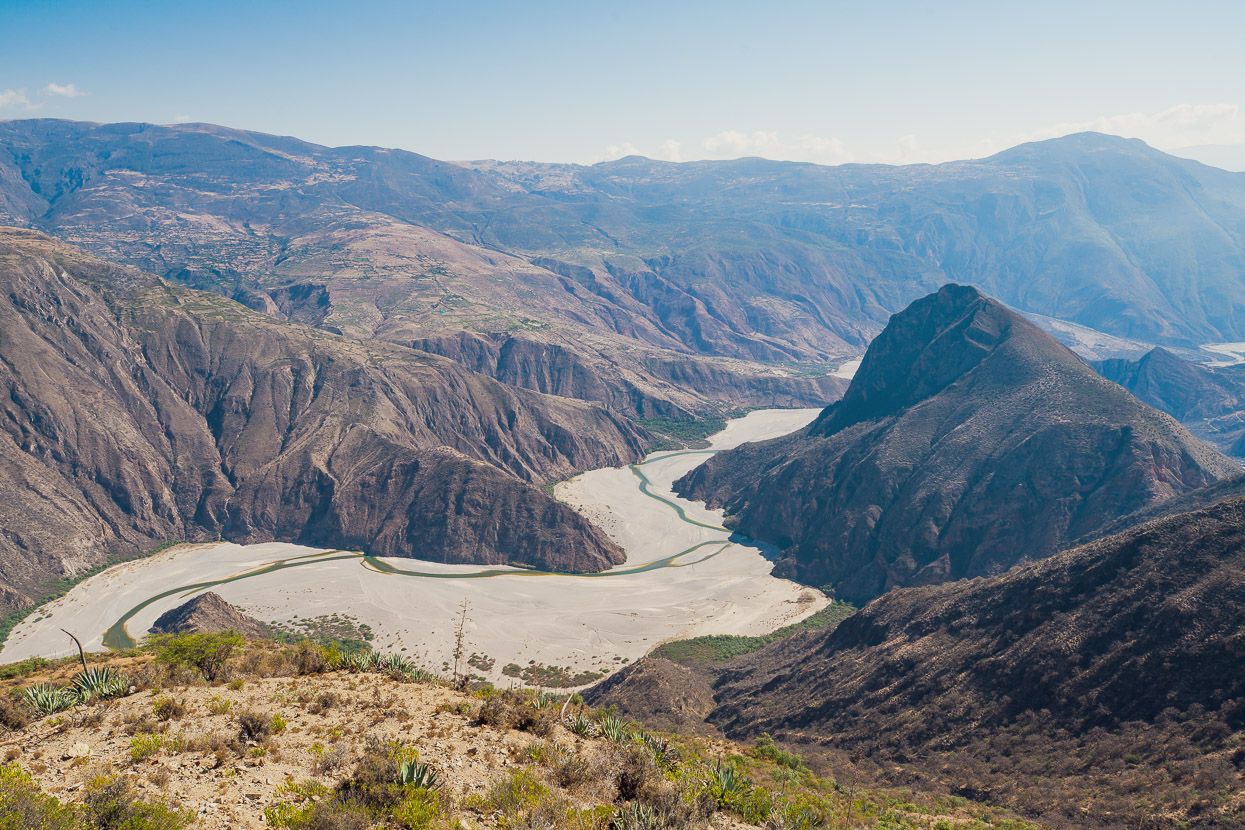
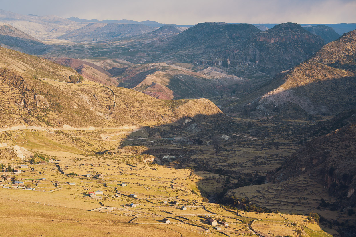
Continuing the theme we’d begun when we left the film crew a few days back, we were roughly following the course of the Rio Cangallo canyon – visible in the background here.
The canyon itself has few sections of road, so the route crosses high stretches of pampa (~3500-4000m), visiting the river once at Cangallo, before crossing it finally further east. Compared with the northern sections of the Peru Divide, this region had much more frequent villages, meaning you can travel light on supplies and even find a hot lunch most days.
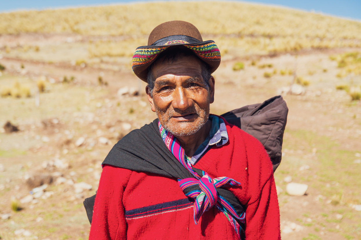
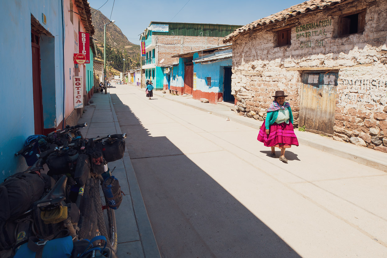
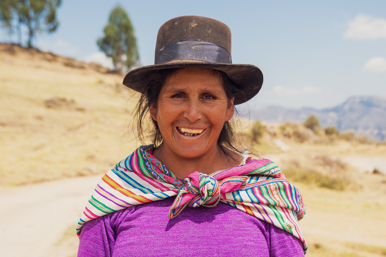
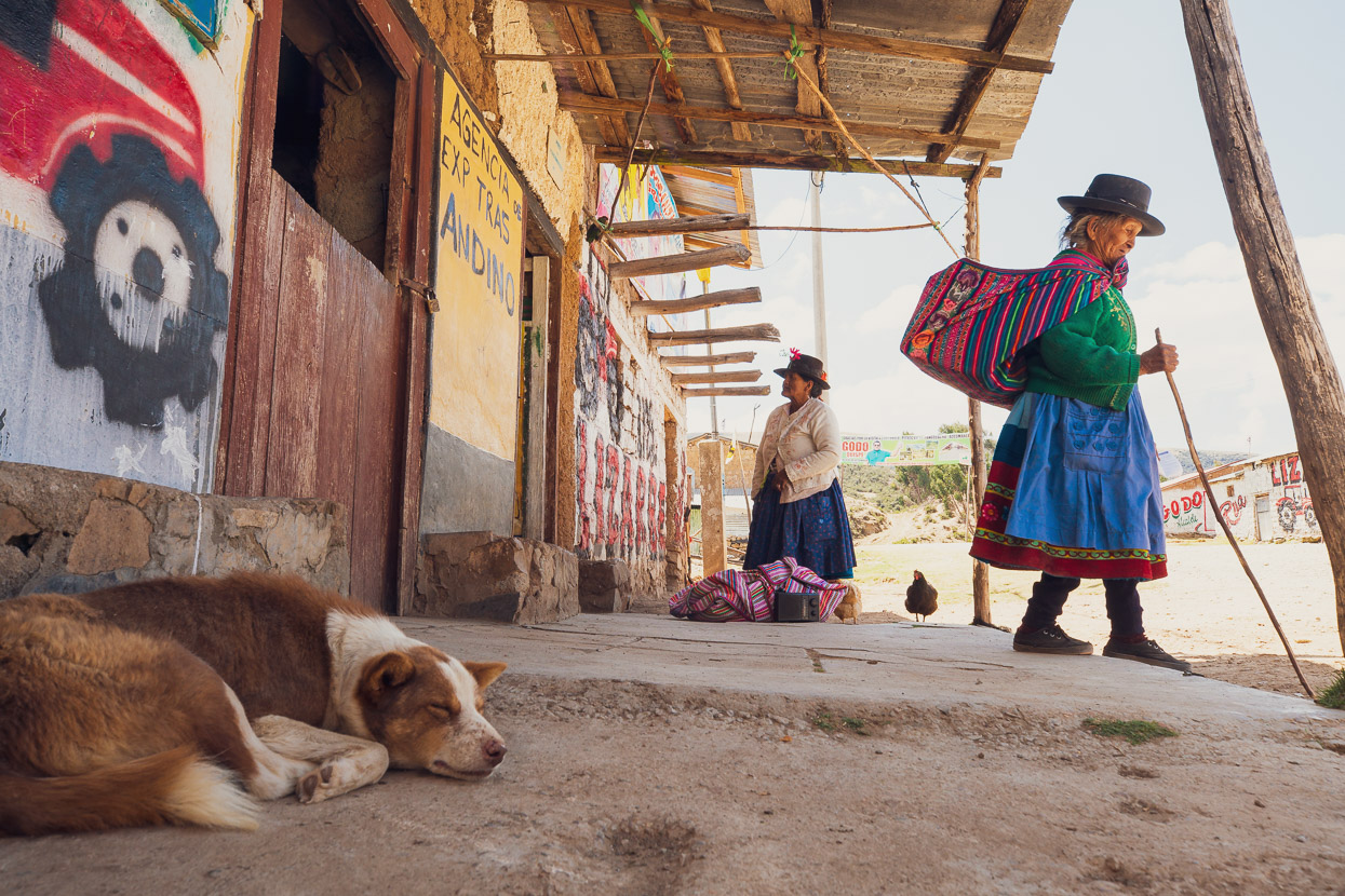
It’s also populated by very colourfully dressed indigenous people and it was fascinating to see how styles of dress (hats particularly) changed from village to village. People were very friendly here and always eager to stop for a chat.
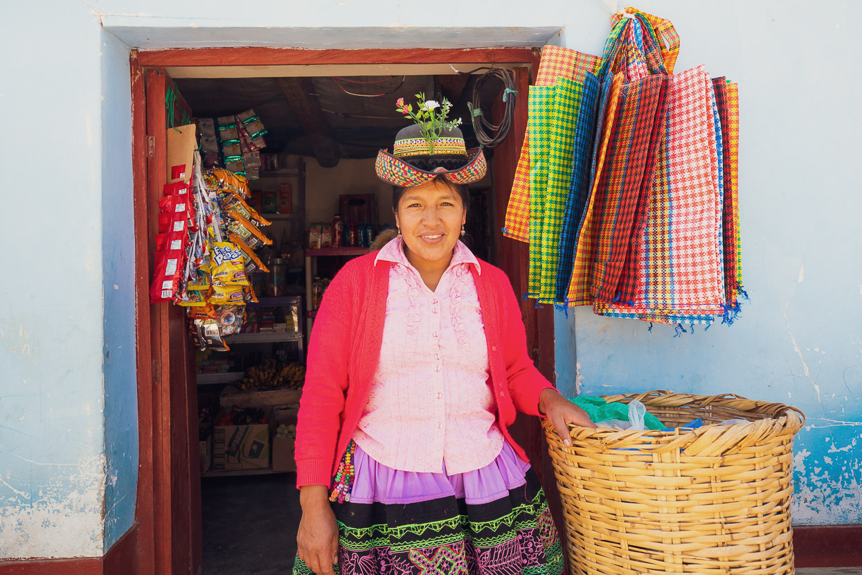
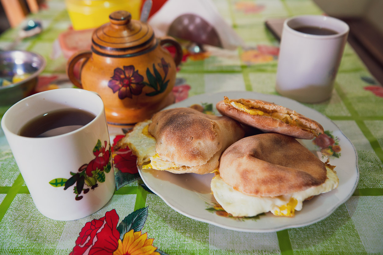
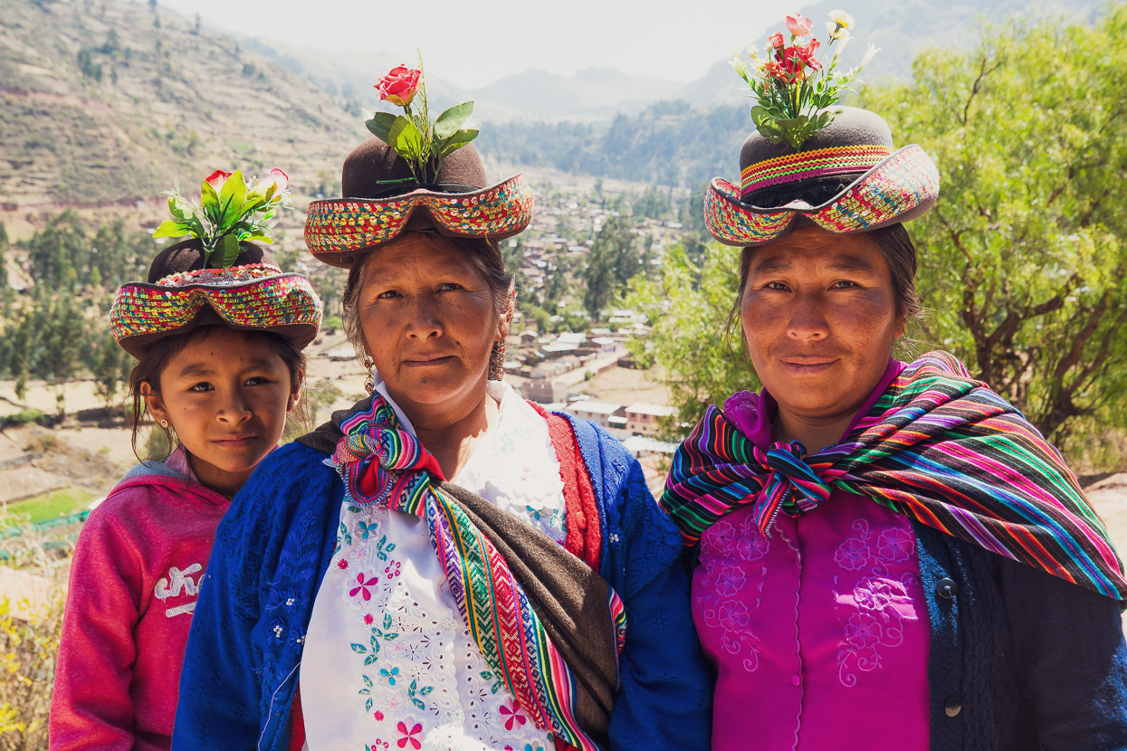
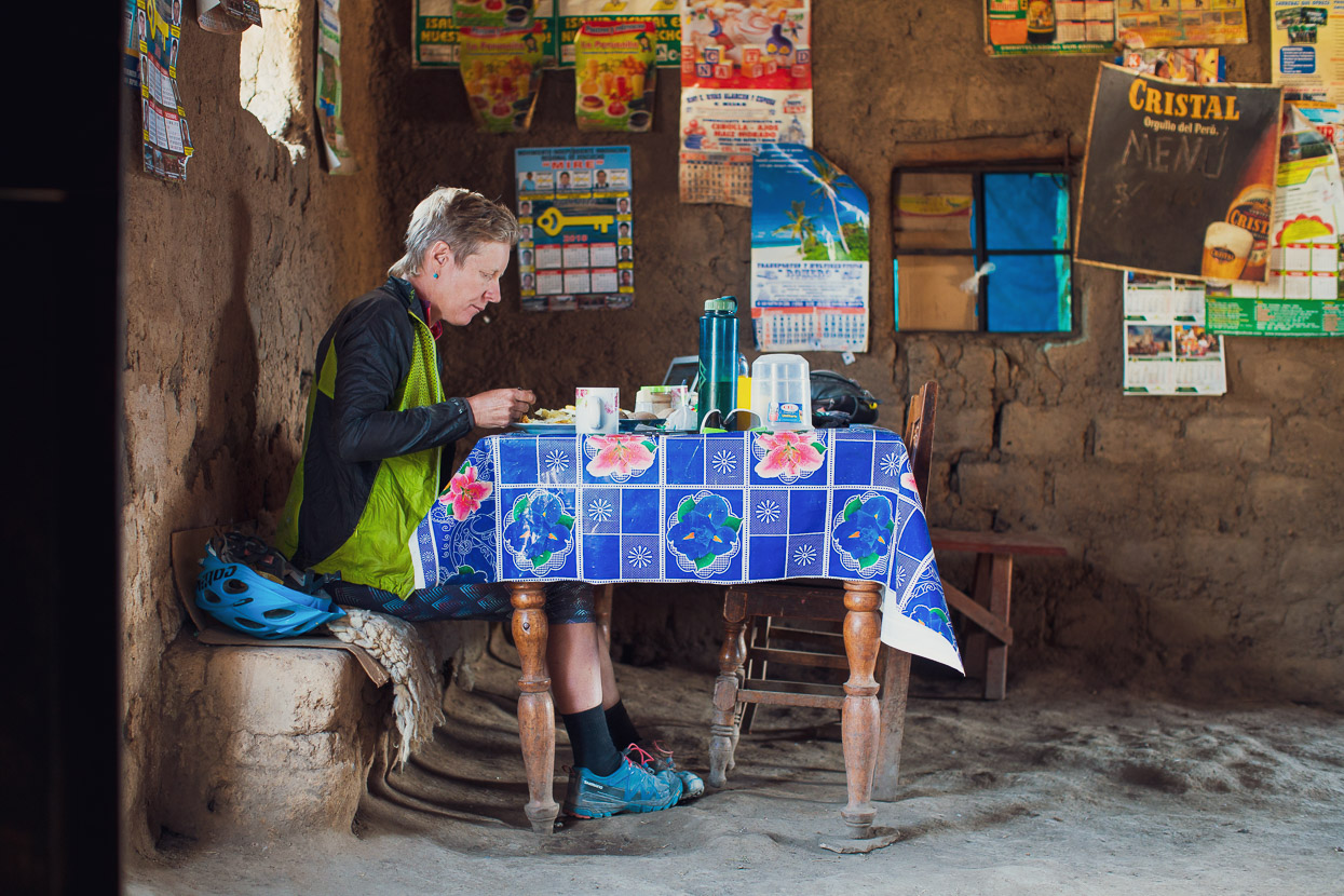
The most distinctive hats we saw were in Chuschi, where we stopped for a second breakfast.
Celeste, Alejandra and Irene were walking between villages when we stopped to admire their outfits.
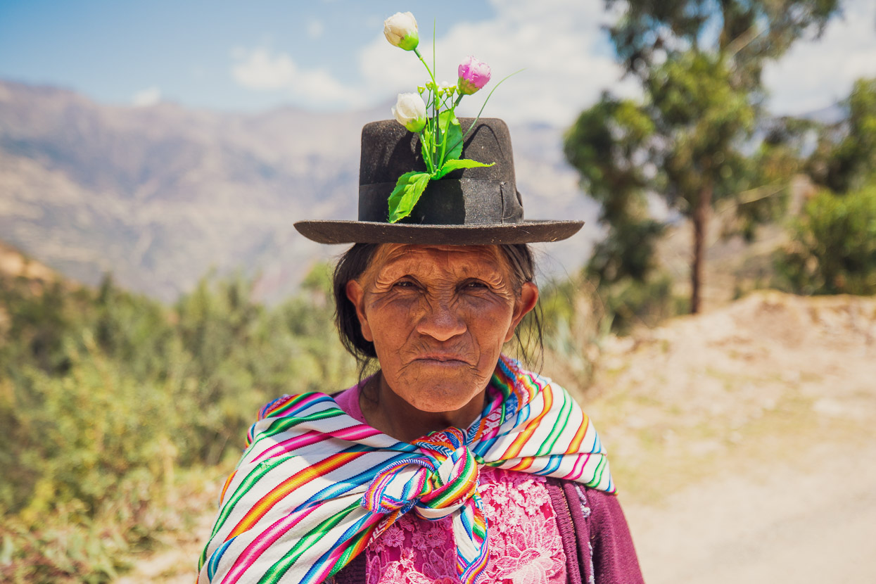
A less fancy hat in the next village, but still the flowers.
At the end of the day we dropped to a positively tropical feeling 2580m at Cangallo, by the side of the river. It was nice to spend a night so low for a change. But the next morning it was straight back up another 1000m+ of course.
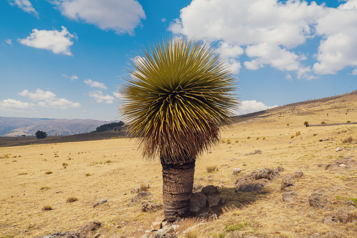
The highlands here have quite a different feel to those further north – it’s less alpine feeling, with few peaks, less afternoon storms and a very arid climate.
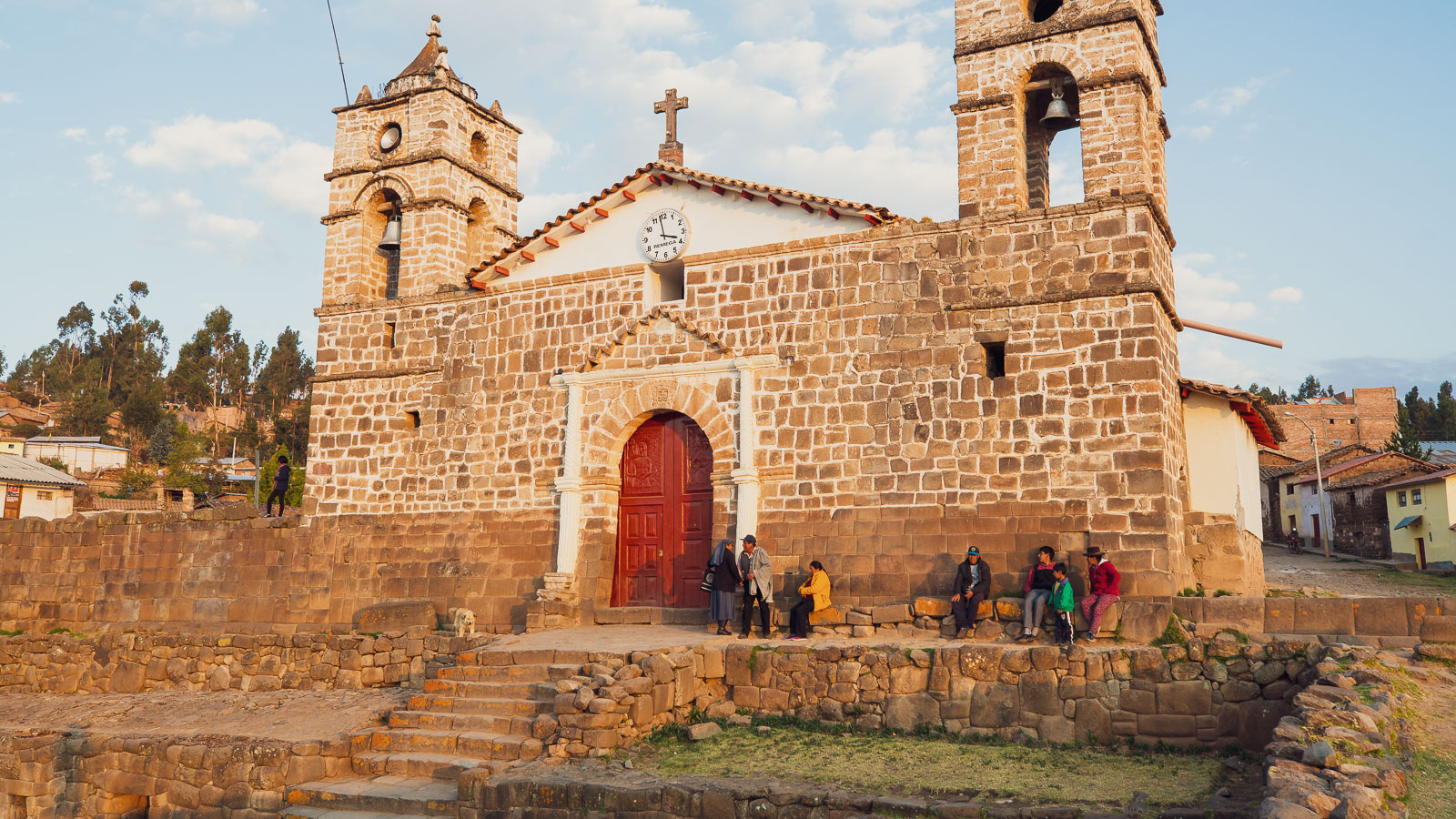
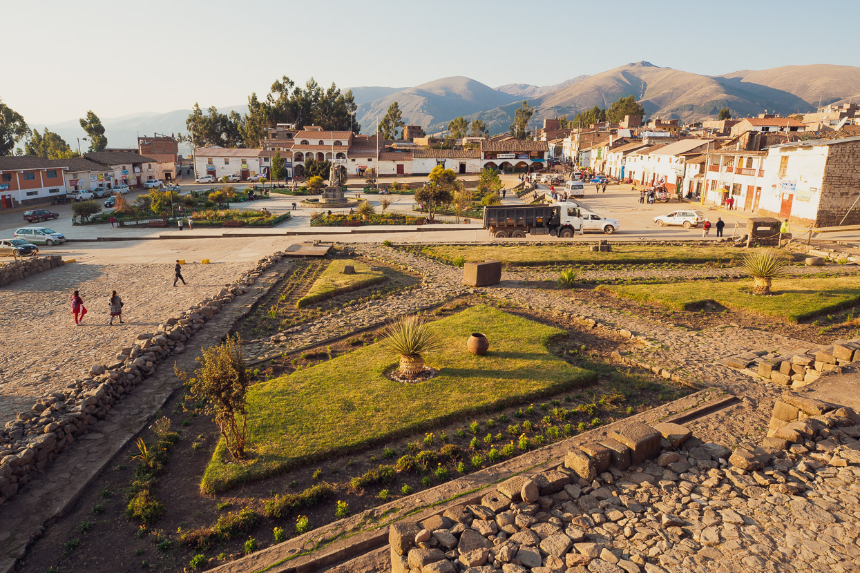
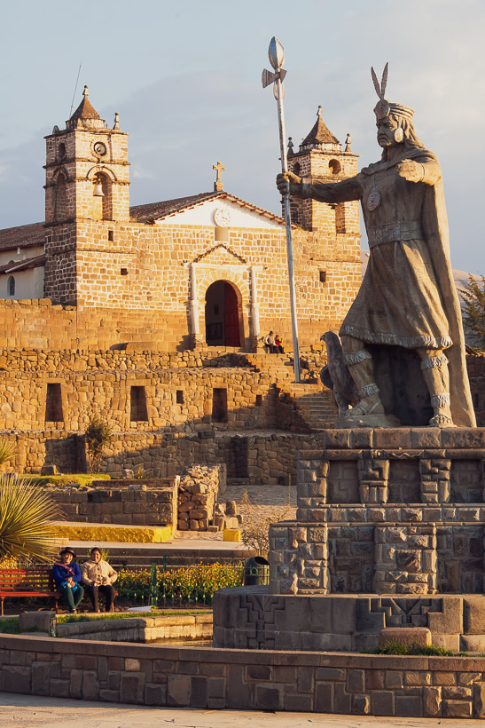
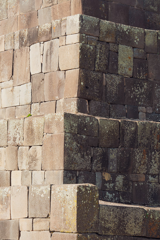
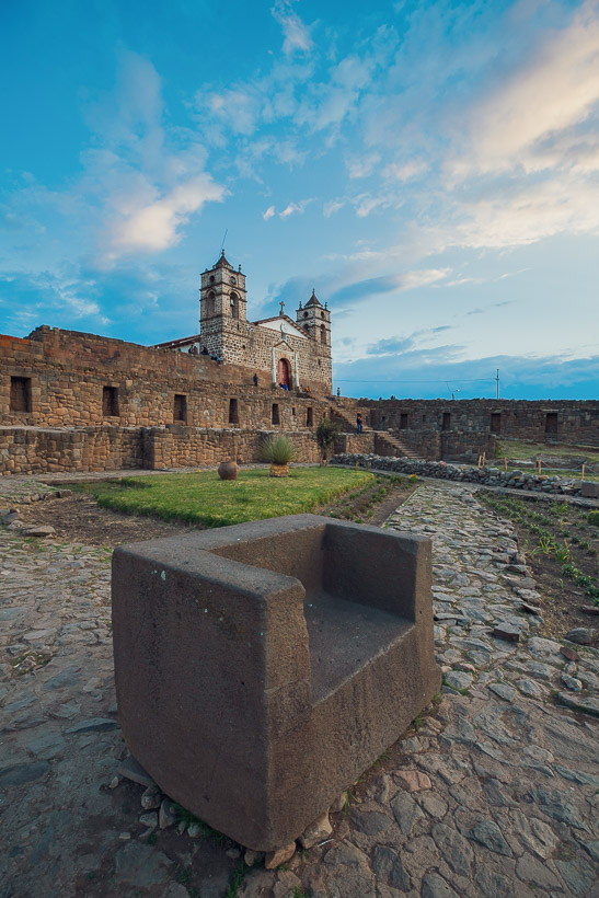
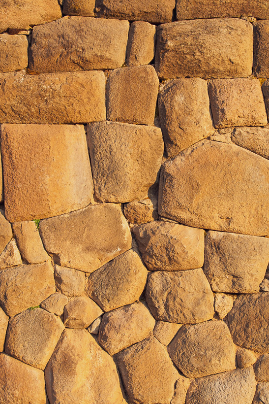
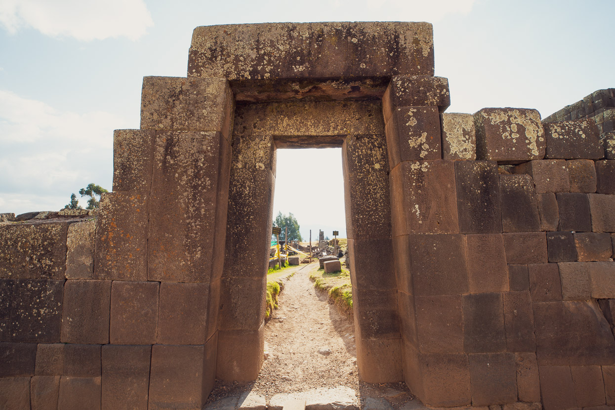
Arriving in Vilcas Huamán was a good moment. This town is full of character and interesting history. During the time of the Inca it was an important administrative centre and had a population of 40,000 people. The ‘modern’ town is more or less built atop Inca ruins, with the town’s church on top of the terraces of the Templo del Sol, built in the classic tightly-interlocked Inca style. Just a minute’s walk from the plaza are the ruins of the Usnu, a truncated pyramid with distinctive Inca doorways and architecture. A large carved stone atop the pyramid (it was closed to access) is said to have once been covered in gold leaf.
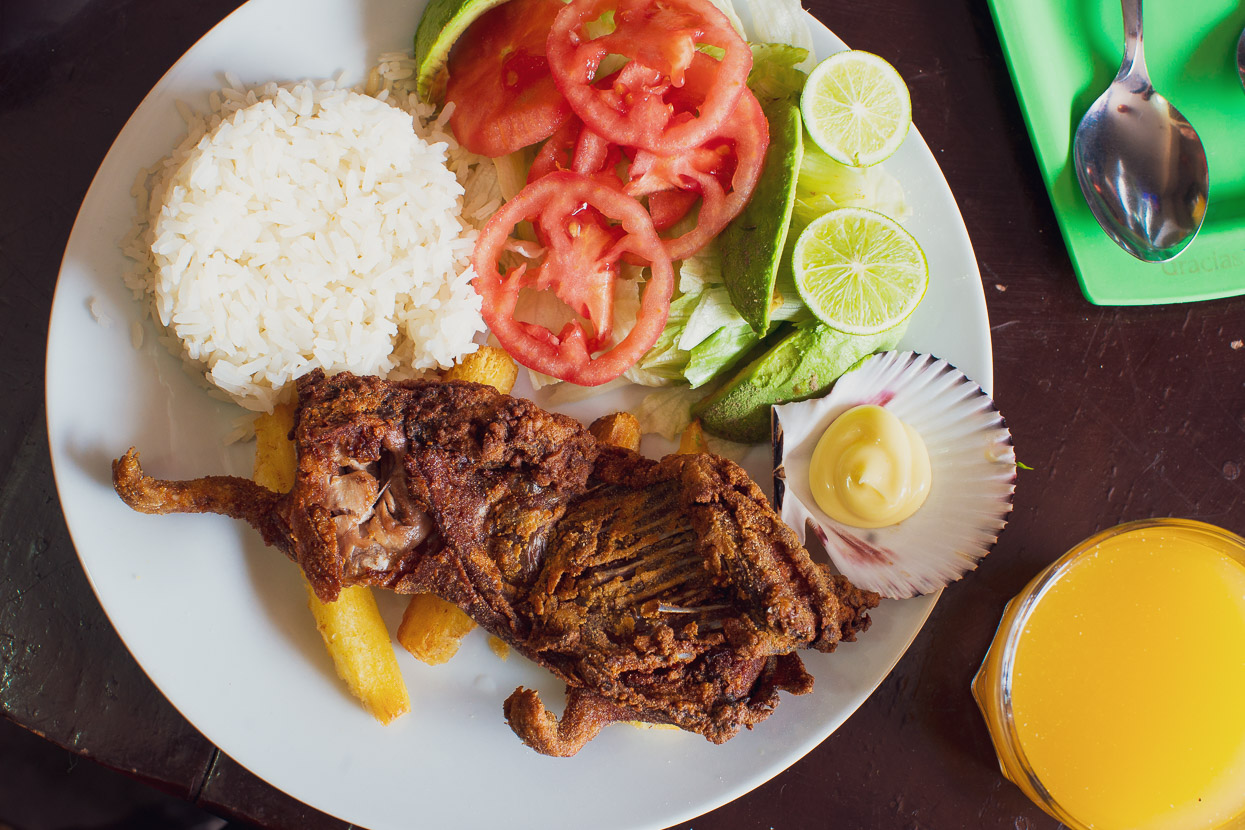
It was also the occasion of Hana’s 47th birthday – her third one on the road on this journey – so we took a day off to rest, explore town and celebrate with such goodies as cuy (guinea pig), ceviche and pisco sours.
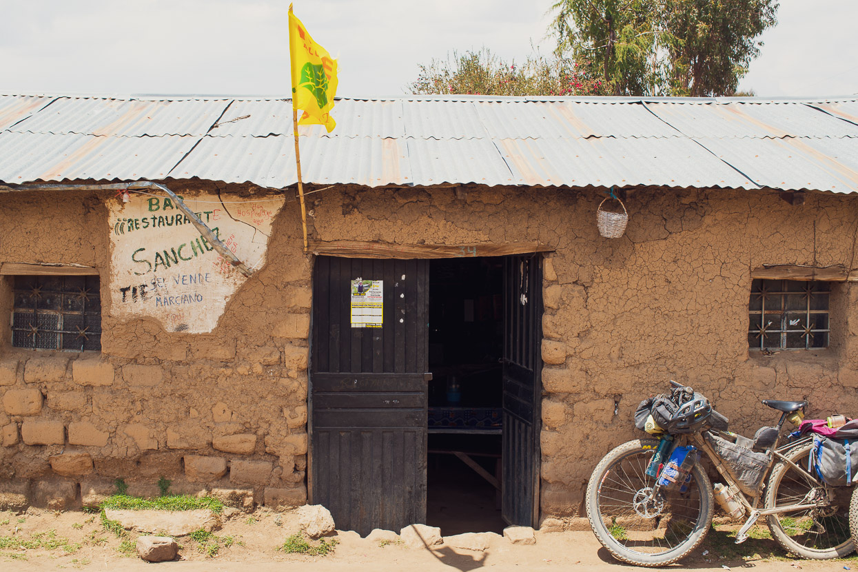
Back on the road we pedalled across more pampa and then finally to a village on a saddle overlooking the big descent into the Rio Cangallo canyon, where we were headed. There was no regular restaurant there, but we asked in the tienda and they were happy to cook us some eggs and chips, so we hung out in the sun for a while watching the incredibly slow pace of life that takes place in these villages.
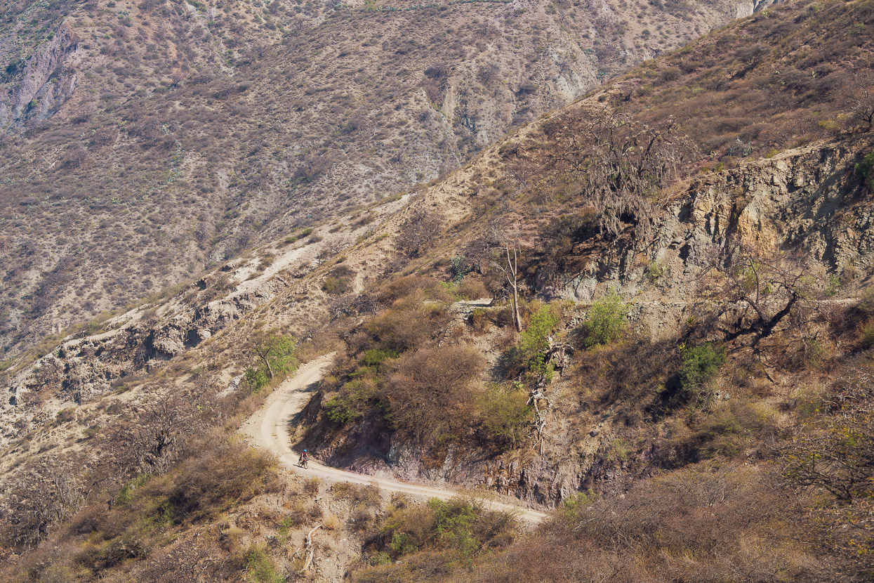
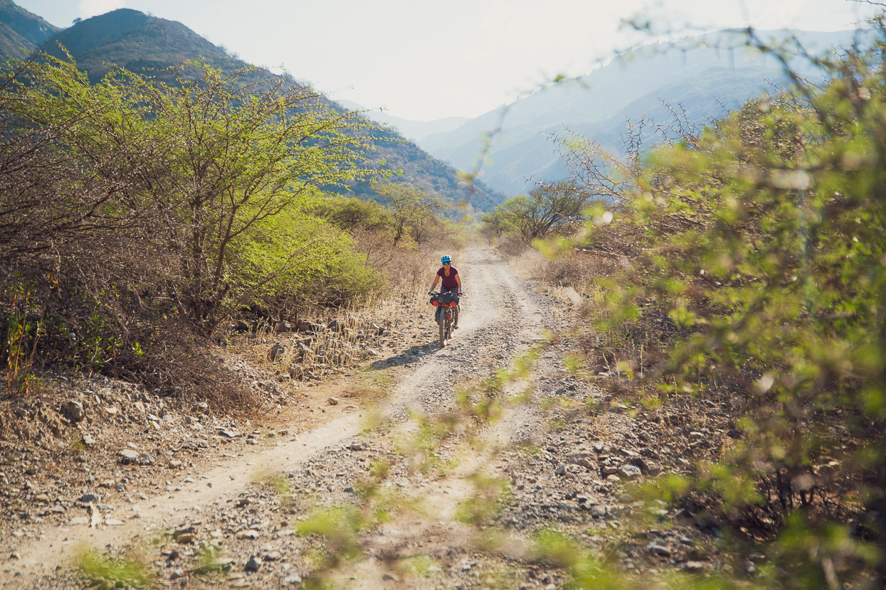
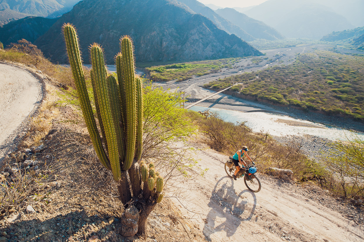
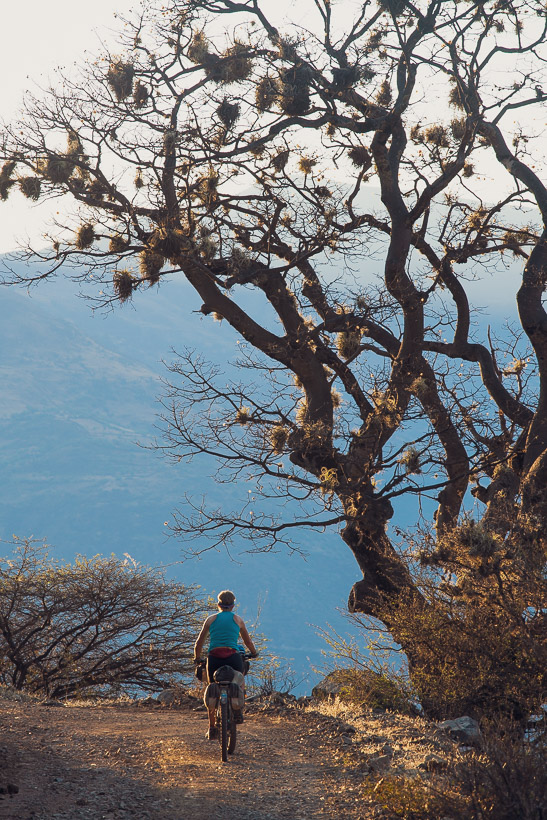
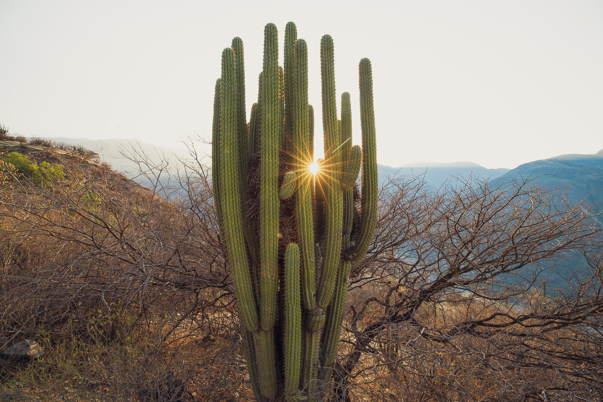
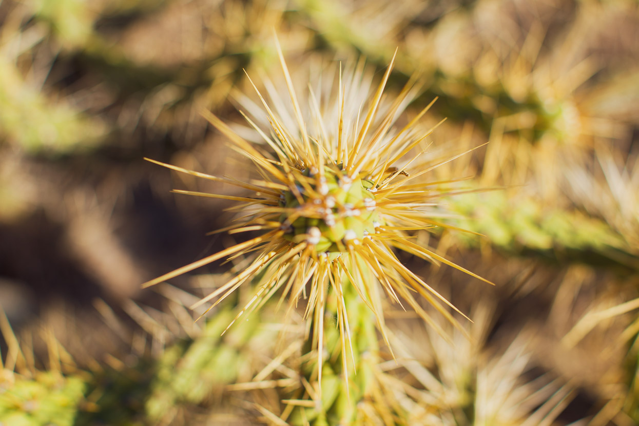
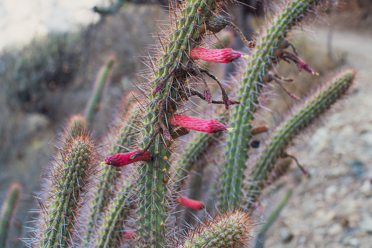
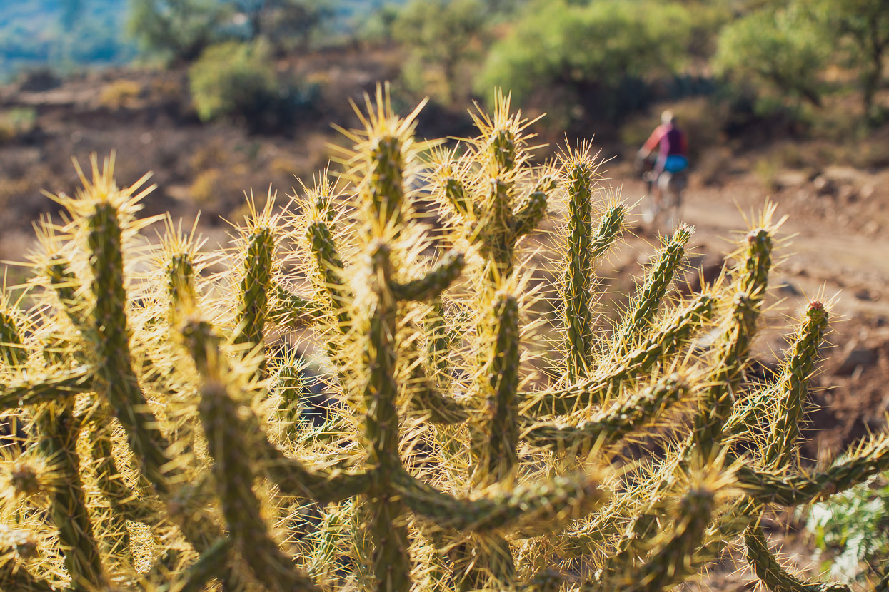
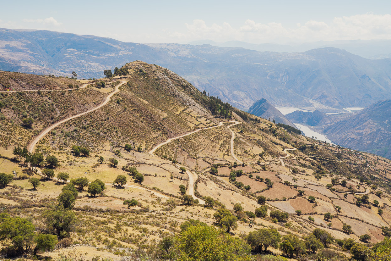
The road into the Rio Cangallo Canyon is long, rocky and dusty as it winds its way nearly two vertical kilometres from the pampa down into an arid land of scrub and cactus. There’s a tiny village – just a handful of houses – at the bottom.
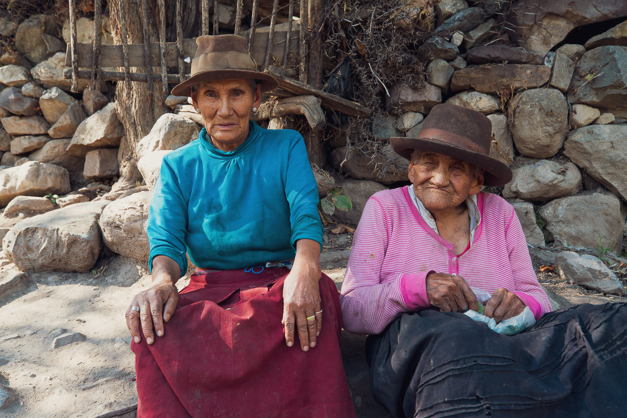
Outside one of the houses sat these two old señoras (maybe sisters?) chilling in the shade and chewing through a big bag of coca leaves. They were quite excited to see us, shaking our hands, and then the younger of the two jumped up, went inside and came back with four oranges for us – such a kind gesture from people with no doubt so little to give. There was water here, at least, but it’s a harsh place to live.
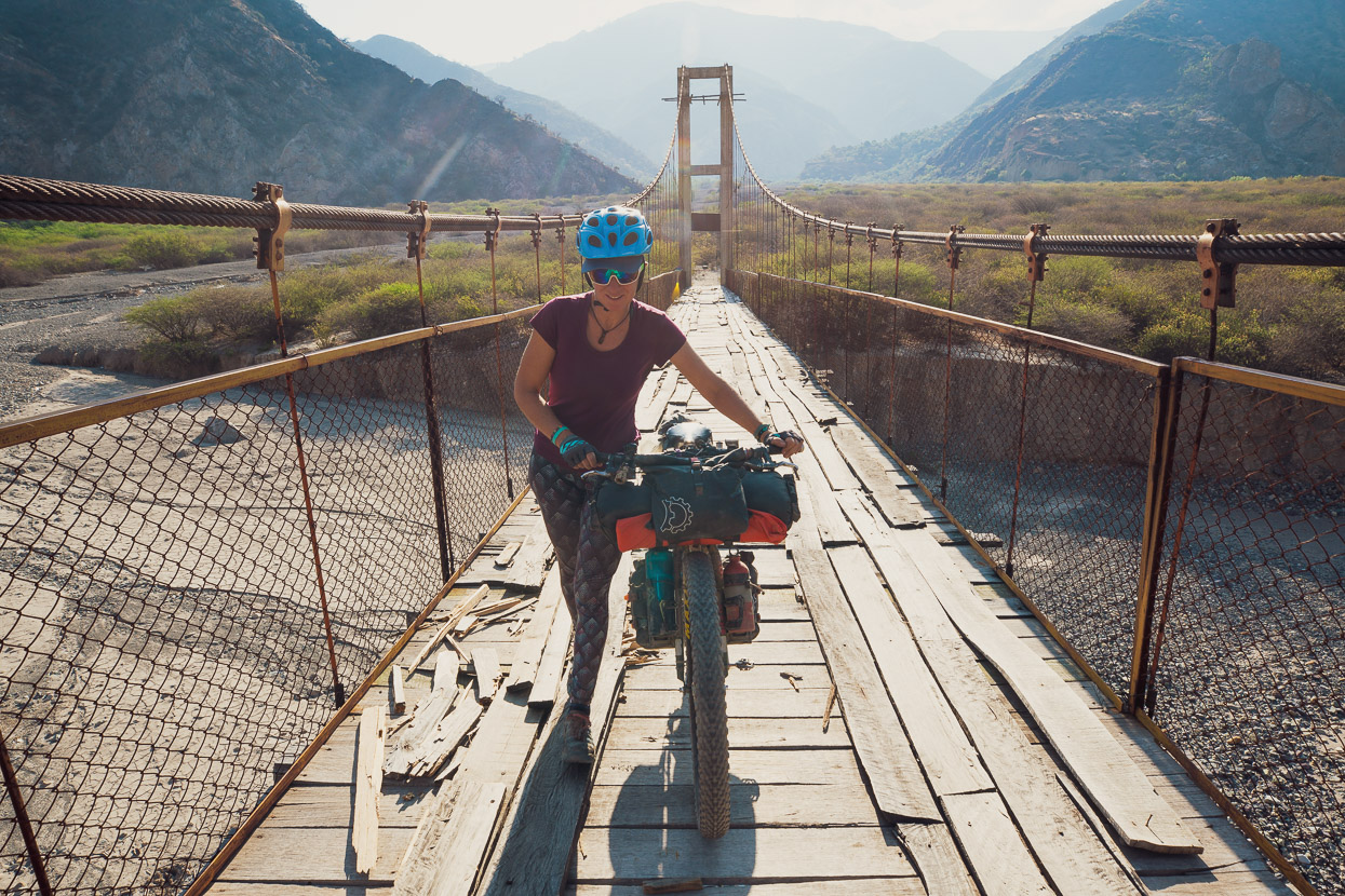
Eventually, the track makes its way down a huge scree fan to the river’s edge, where there is a somewhat battered-looking pedestrian & motorbike suspension bridge. Apparently it’s the only crossing for hundreds of kilometres in either direction.
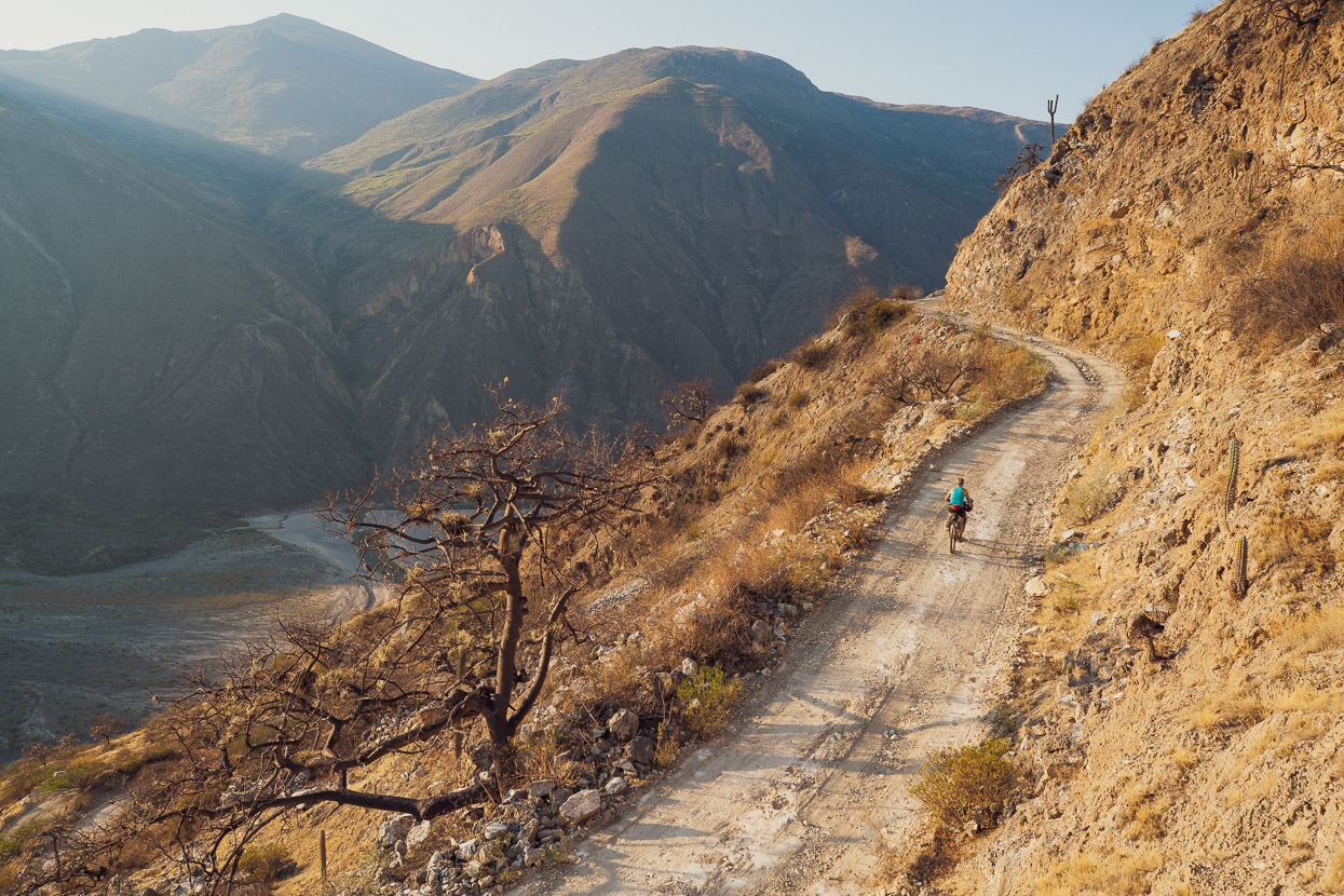
The road up the other side of the canyon is a long, tough climb, but with the heat of the day gone and bathed in warm light it was a pleasure. We rode up about 600m vertical metres, carrying about four litres of water each, and camped on the side of the road.
It’s a very peaceful place, so far from anywhere, and so different to the alpine landscapes we’d become used to.
We collected more water in Soccos, a little further up the hill (there appeared to be only one or two families living there, but there is a regular-looking water source) and climbed further, back to the tops of the ranges.
There was a single restaurant in Chilcayoc, where the only food going was a plate of pasta and potato with egg and cheese sauce, but it was quite tasty. We picked up some food for the afternoon there too, and got chatting with an old woman who asked us if we were afraid to be riding up higher, to the puna.
‘But why be scared?’ we asked.
‘Because of the bad spirits,’ she replied.
‘And the pumas,’ another woman chimed in.
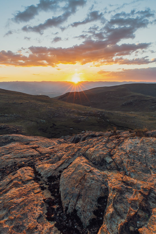
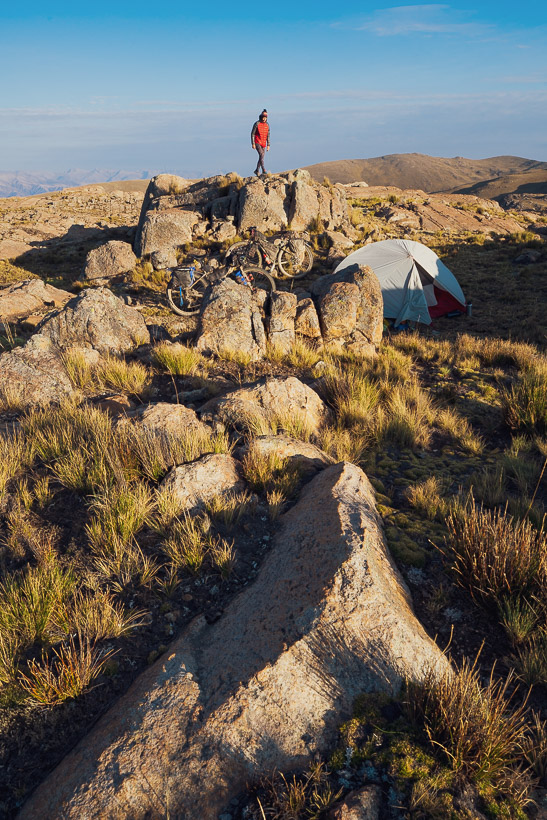
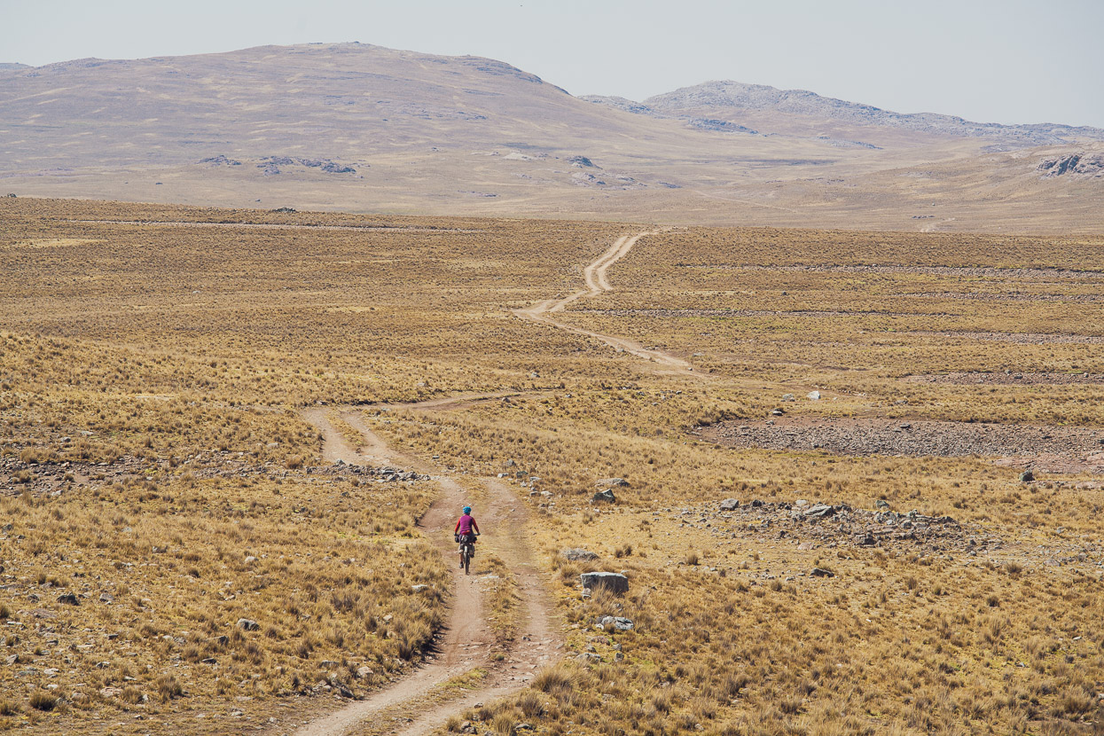
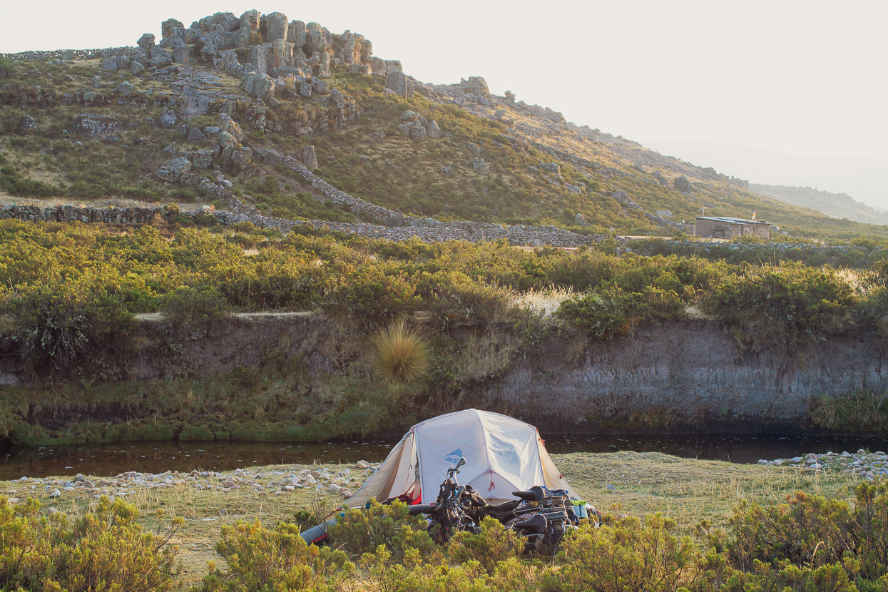
In the late afternoon, after climbing switchbacks beyond Potongo to the highest part of the puna, it looked as if we might be pressing on for a while to find water, but rounding a corner we found ourselves among golden outcrops of granite and tarns aplenty. When your tent is your home, it’s always nice to find the best possible place to pitch it – and this one was goodie – complete with early morning sun.
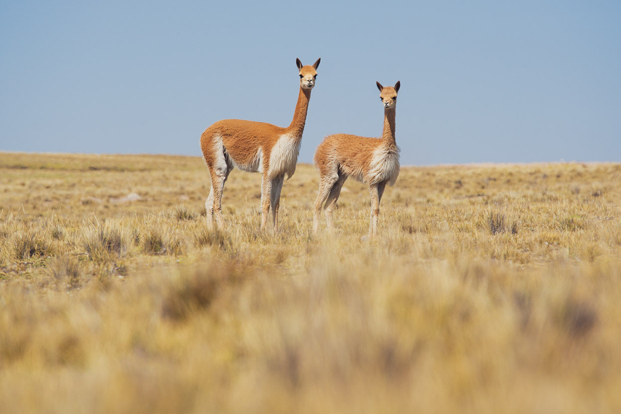
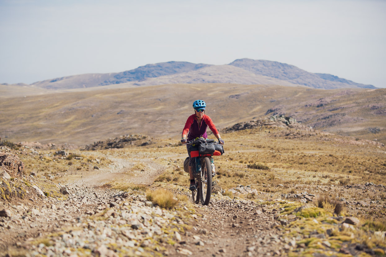
Crossing the tops in the morning on seldom-used double track, we had nothing more than the company of vicuñas. When you get close, these creatures sometimes make a funny bird-like whistling sound without moving their mouths, and then usually run away.
Later that day we pedalled uphill in nice afternoon light into yet another shift in the landscape, one formed from nearly volcanoes.
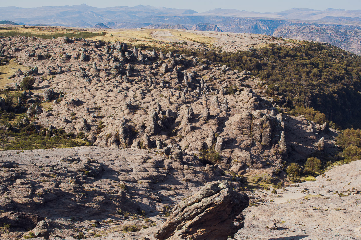
This bosque de piedras (forest of rocks) was a notable sight the next morning, apparently home to pre-Inca people at one time, although we didn’t explore it.
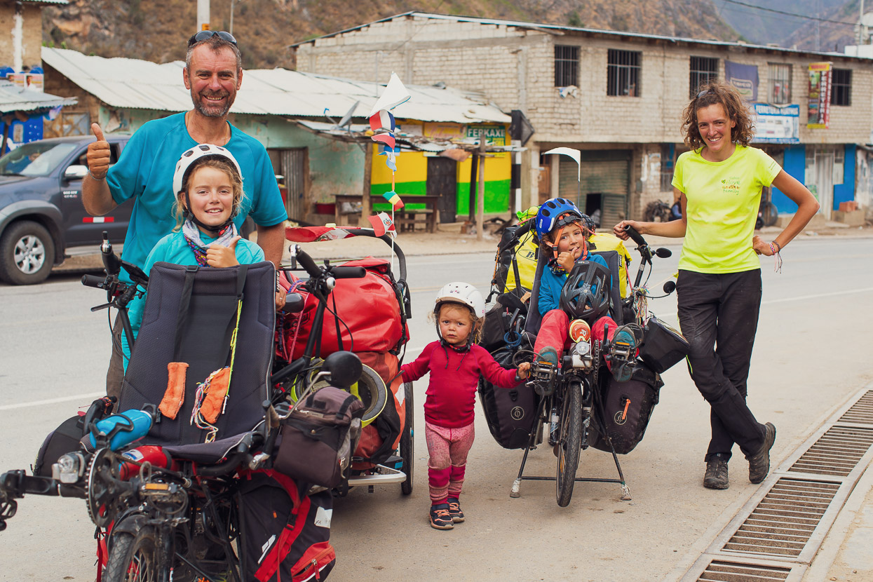
By early afternoon we’d made it to the paved Abancay highway, and then onwards to the small junction town of Santa Rosa. There we met the amazing VeLove Family, Valérie and Christophe and their kids aged nine, seven & two – who are touring a section of Peru with two tandems and a trailer.
Santa Rosa is where the Cones & Canyons section of the Peru Divide officially begins, and for this section we are going to be joined by Kiwi friends Anna and James, who are coming out from NZ especially to ride this section with us. Something we’re looking very forward to.
From Santa Rosa we caught a ride in a car (one bike in back and one on the roof) to Abancay, 70km away, where we we’re due to meet the others in a couple of days. It’s a detour for us, and paved, so a vehicle made sense – especially as we’ll ride this section back in the other direction to re-join the route at Santa Rosa.
More from us soon!
Do you enjoy our blog content? Find it useful? We love it when people shout us a beer or contribute to our ongoing expenses!
Creating content for this site – as much as we love it – is time consuming and adds to travel costs. Every little bit helps, and your contributions motivate us to work on more bicycle travel-related content. Up coming: Gear reviews and GPX Tracks.
Thanks to Biomaxa, Revelate Designs, Kathmandu, Hope Technology and Pureflow for supporting Alaska to Argentina.



Hi Mark and Hana
Another amazing section of the Peruvian High Country. Thank you. Regards
Simon.
Another remarkable blog ! So much to comment on ! The women so colourful; do you think it’s to counteract the harsh conditions they live in ? Their skin certainly resembles chamois leather. Did you offer to buy that intricate, homemade whip ? What a sensational souvenir (not made in China ! Would look amazing hanging in your home ! It must be exciting passing from onevillage to anther, in such a short space I googled Huacullo & read all about the high passes; you’re riding bikes at 16.456ft !!!!Mount Cook will appear as a pimple when you come home ! Are Hanna & Anna sisters ?
What is the reason the alpacas have blankets tied round them ? Is it to get them use to being pack animals ? Haven’t they got the tiniest wee faces ?
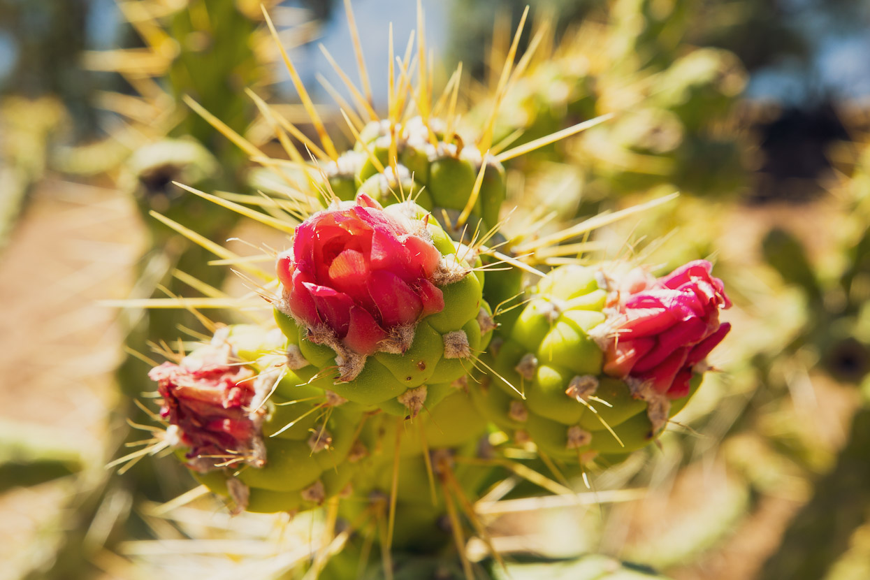
The scenery is mind blowing- absolutely spectacular. Even the cacti are colourful. I feel exhausted , & out of breath, just reading about your biking endeavours – just sitting in a chair !!!! Loving the photos & am very appreciative of your vivid descriptions, or should I say, colourful text ?! Travel safely. I salute the two of you.
Hi Madge – more good questions!
The colours of the outfits date right back to the time of the Spanish conquistadors and Spanish rule. The rulers wanted to be able to differentiate between people from different valleys, towns and regions, so they imposed a particular style of dress for each, and those styles have evolved into what you see today. We’d love to buy souvenirs but they take up too much space. Were we going home tomorrow we’d buy so many! We do have a few small things from Guatemala and Peru that have been sent home with other people. Yes it is amazing seeing the different villages – especially as the outfits change from place to place. No Anna and Hana aren’t related, but you are not the first person to ask! People sometimes ask I Hana and I are brother and sister too – and have done since our first tour in 1992!
Thanks for reading – we really appreciate it! Just winding up a good long break in Arequipa – a much needed break at that. And now the blog is up to date too 😉
Cheers
M+H.