Cones & Canyons Part One.
Ever since we’d joined the Peru Divide back in Oyon, about a month ago, we’d been looking forward to riding its final 700km section, dubbed ‘Cones & Canyons’.
This southern-most section of the Peru Divide provides a logical – and spectacular – linkage from the Abancay Highway through to Peru’s beautiful colonial city, Arequipa. We followed the route published on bikepacking.com in 2017 by roving bike packer Cass Gilbert, which combines parts of routes explored by both the Pikes (Andes by Bike) and Ryan Wilson to create a bike packer’s route which is well deserving of ‘classic’ status.
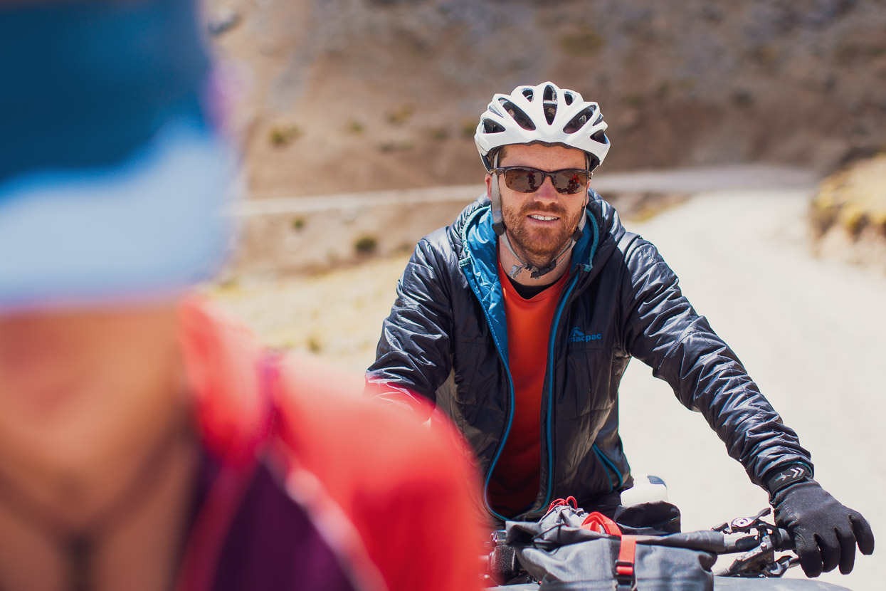
Not only were we looking forward to seeing one of the deepest canyons in the world, crossing our first 5000m+ passes and seeing the highest mountain in southern Peru, we were also going to be joined by Anna and James; friends from New Zealand coming out for three weeks especially to join us for this much anticipated section. Anna rode with us for two weeks back in October 2016 (two years ago!) while we were on the USA’s Great Divide route. It’s kinda mind boggling to think that we have been riding consistently since we farewelled her in New Mexico on a cold fall night.
We met Anna and James in Abancay, a small city nestled high in a steep mountain valley. Like many of Peru’s cities that are off the gringo trail, it’s an isolated place and sees very few tourists. We spent two days there before they arrived, binge eating, resting, blogging and enjoying a brief bit of relative luxury before another sustained stint in the mountains.
From Abancay we had a paved 67km ride through the Rio Lambrama Canyon to the junction village of Santa Rosa, where we joined the bike packing route. Although this is a major regional highway, the road is very quiet, so it wasn’t a chore at all and the heat down at this elevation was nicely offset by a vigorous tailwind.
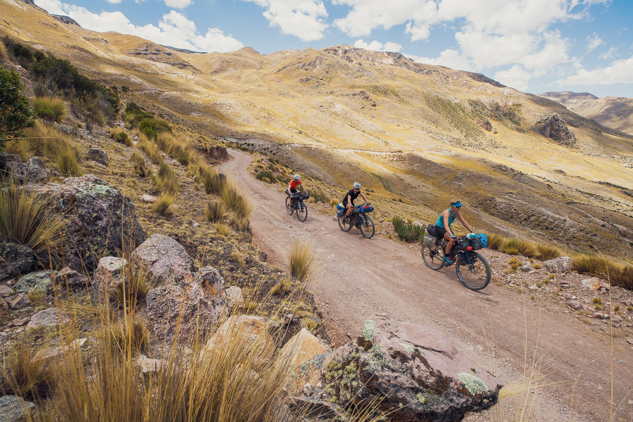
From Santa Rosa the route is straight onto a dirt road that climbs steadily through the valley for a day and a half to reach Antabamba.
It was a hot and dusty stretch of riding, with temps in the high 20s in the middle of the day and a fair bit of mining traffic.
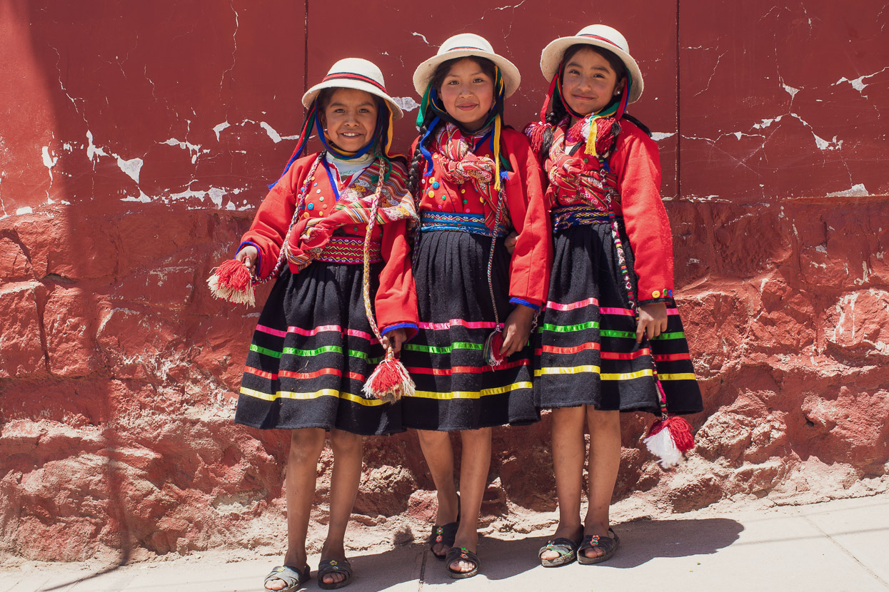
Antabamba was in the midst of some sort of fiesta, with lots of people (mostly children) in traditional dress. We had lunch there, resupplied, and headed onwards and upwards.
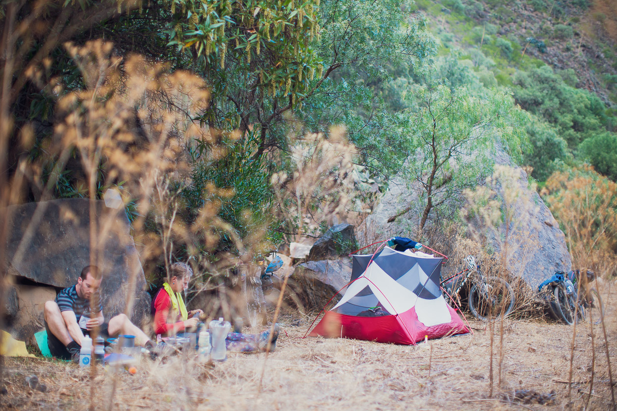
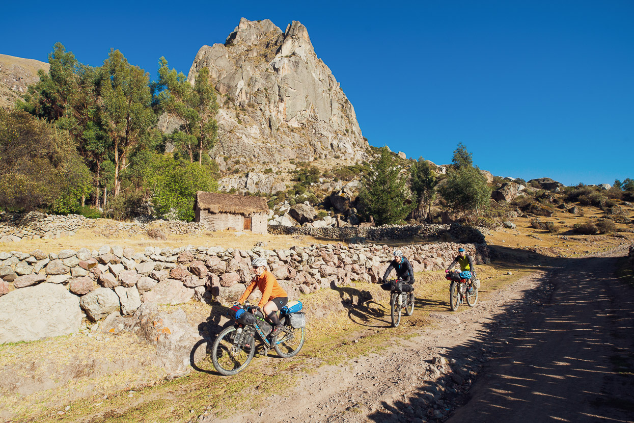
We camped that night just under 3700m in a boulder field near a small village and woke to yet another perfect morning.
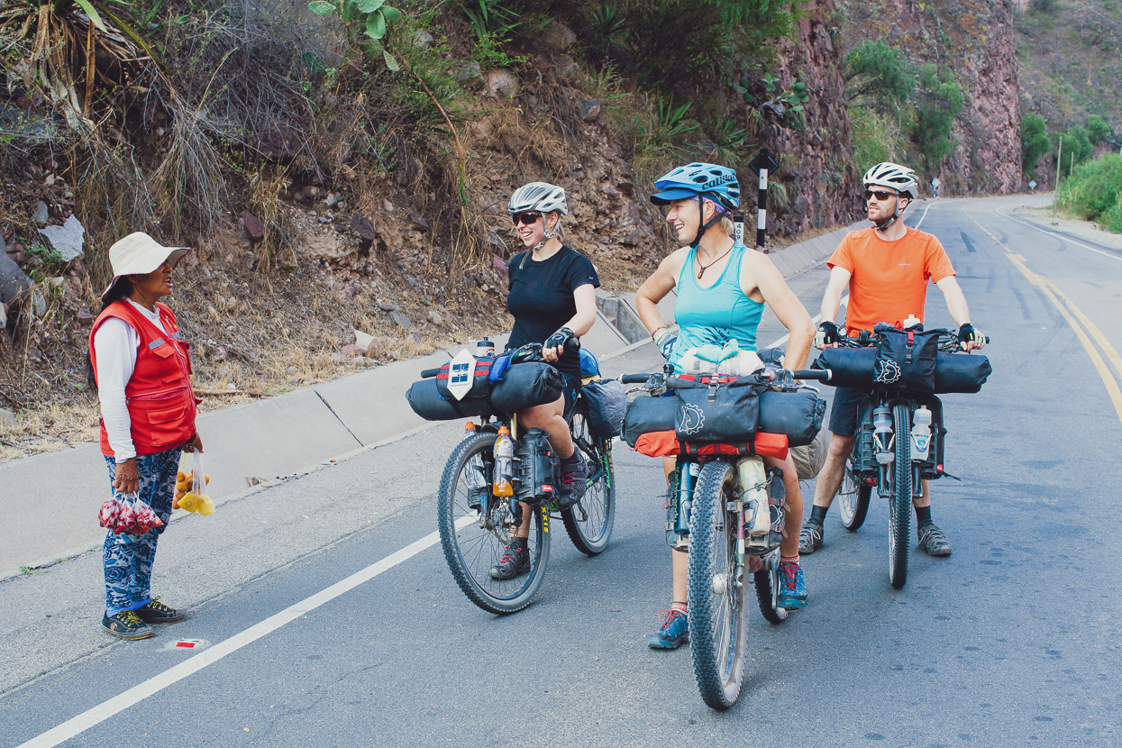
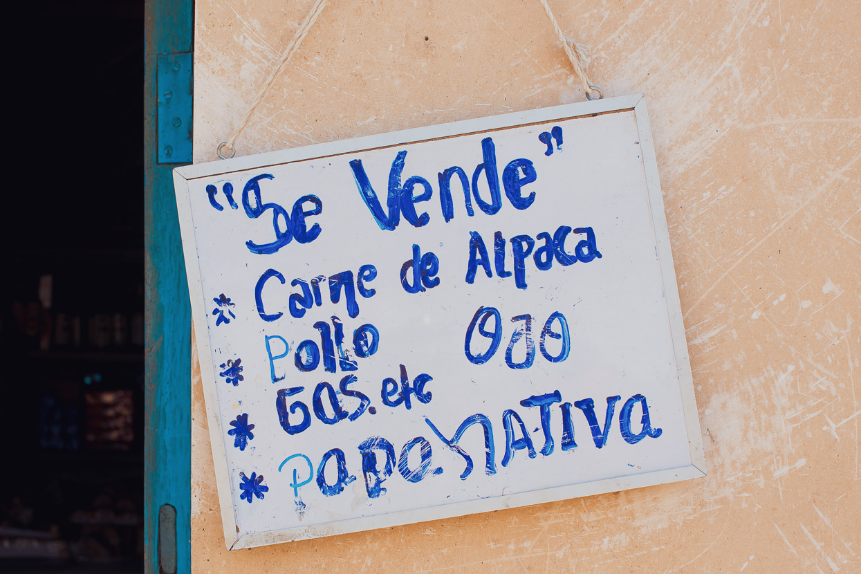
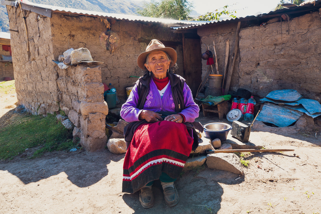
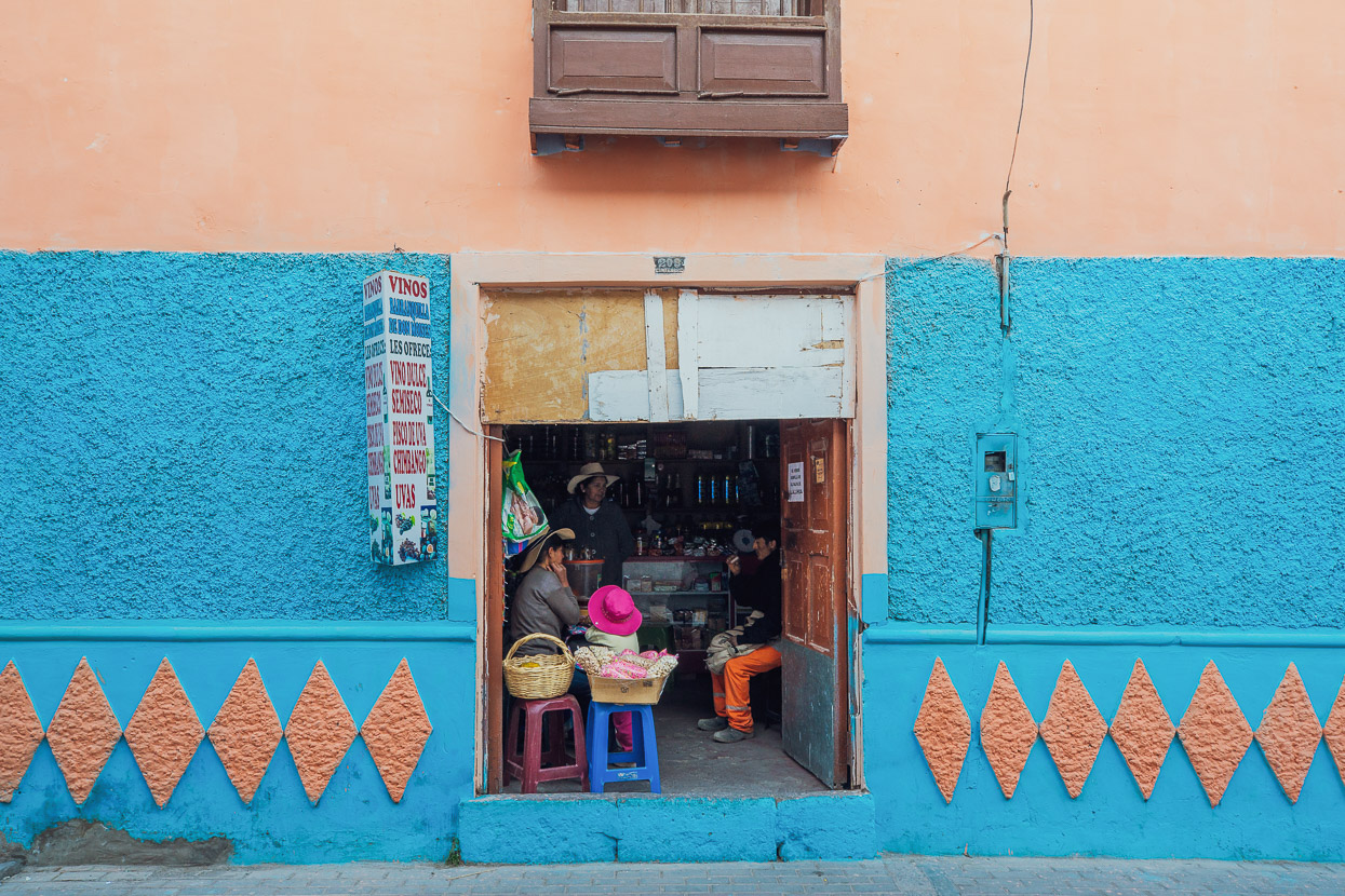
In Mollocco we stopped to pick up some extra snacks and fill water bottles. The only tienda was run by this dear old lady who seemed terrified of us at first but soon warmed to us and our gringo ways. Her shop was like a little cupboard (it doubled as her bedroom) and I practically had to crawl inside to see what she had. She was quite blind, so I had to pick things off the shelf myself and she had a tough time adding up the biscuits, gaseosas and chocolate, but we got there in the end! To our huge entertainment she had a light tan coloured cat called ‘gringa’.
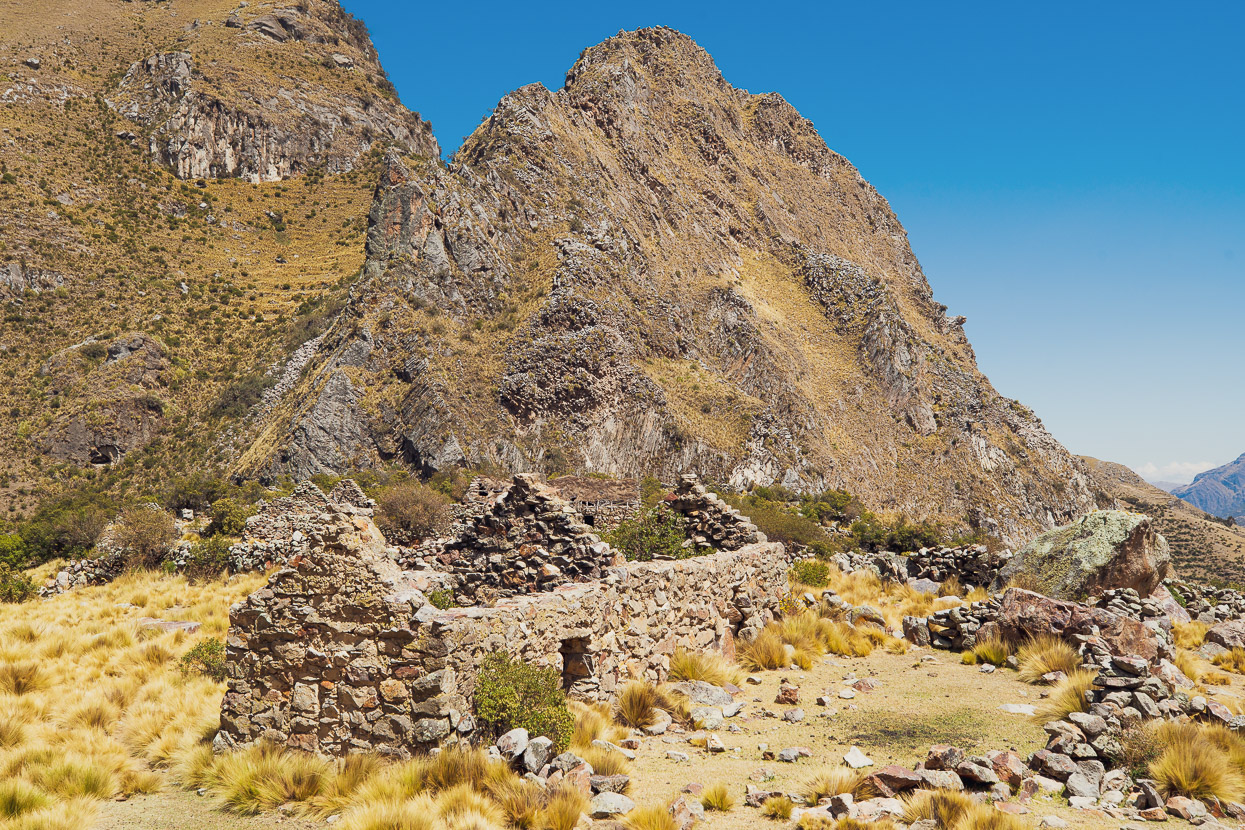
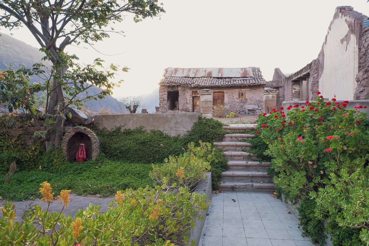
Ruined farmhouses and abandoned buildings are quite a common sight in this generally poverty-heavy region.
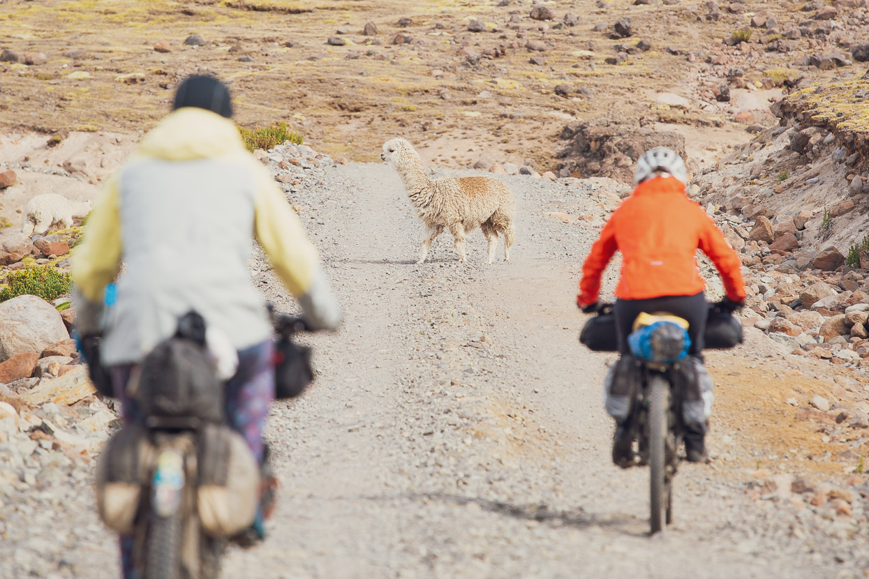
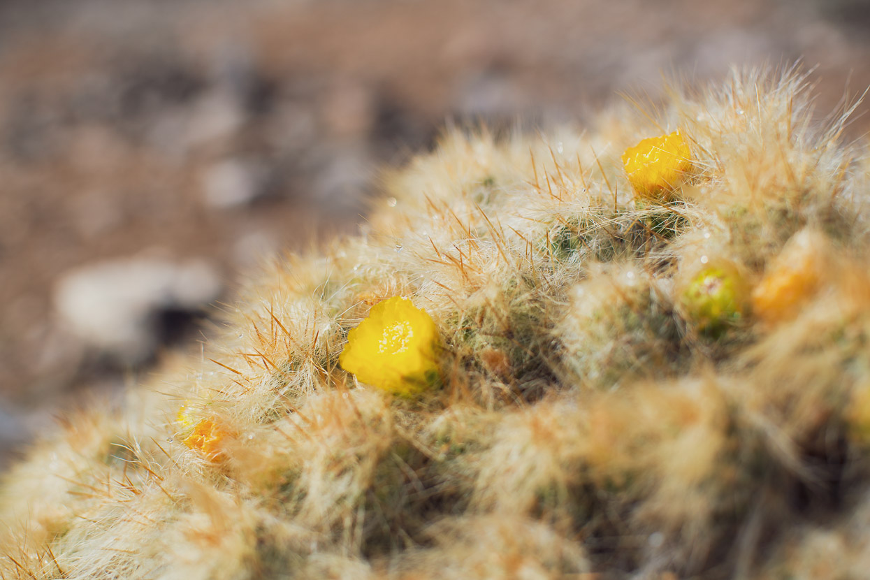
Climbing steadily we eventually left the cactus behind and reached the grasslands of the pampa. Familiar territory, along with the darkening skies of an afternoon thunderstorm that soon had us donning extra layers and rain shells.
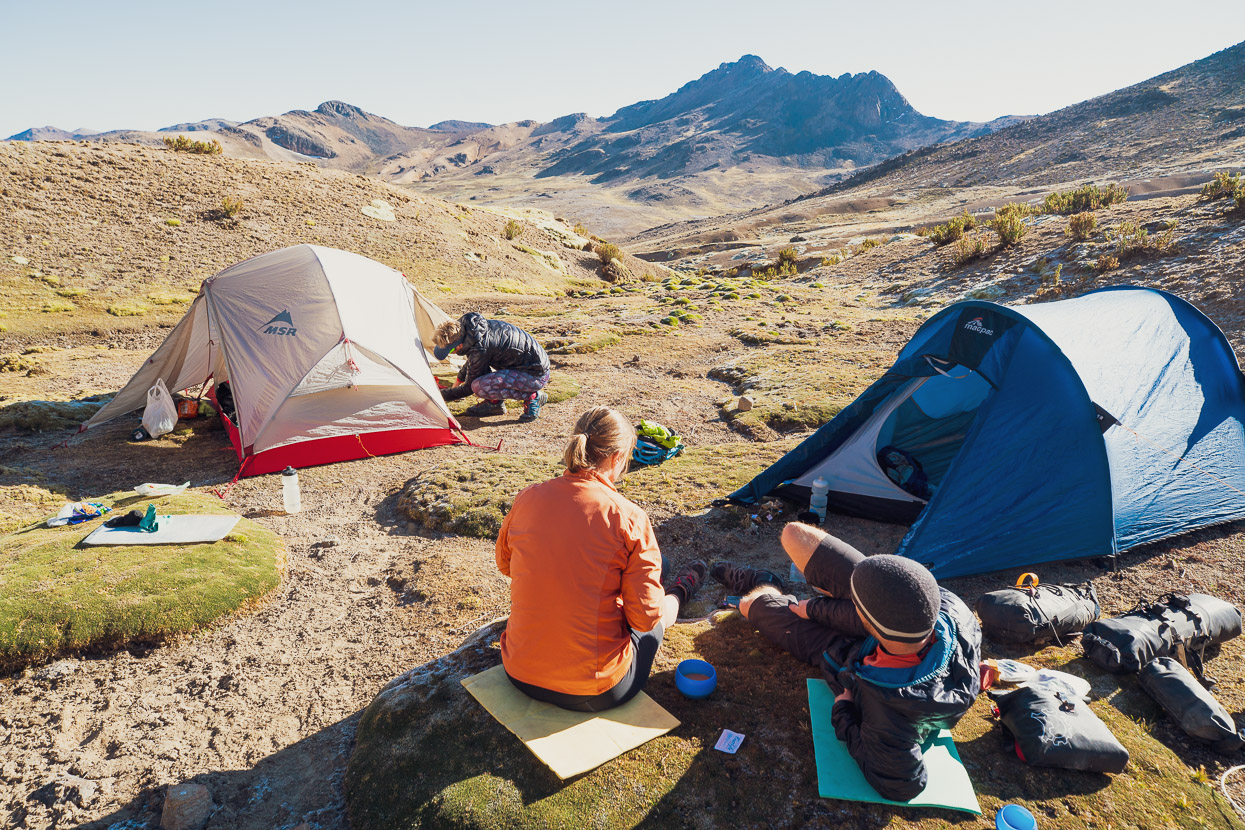
It’s a massive climb from the canyon village of Santa Rosa, where we’d started, to the first pass on the route; from 2260m to 4850m (with a few small ups and downs on the way). On the third evening out of Santa Rosa we stopped just below the first pass, at about 4800m to camp for the night. That afternoon Anna and James had started to really feel the altitude and they were both sick that evening.
Before meeting us they’d spent two nights in Cusco (3400m), but that combined with the slow altitude gain we’d had was not enough acclimatisation. Notably they were both taking Diamox daily, which is supposed to suppress the most common symptoms, but James in particular was suffering quite badly from headaches and nausea. Anna unfortunately had a bout of vomiting and diarrhoea that may have been picked up from food or water.
Without returning the way we’d come, there was no opportunity to get much lower for the next 100 kilometres, as the route undulates between 4500m and 5000m. After a slow start the following morning we decided to press on, with the option to stop and camp in one of the lower basins coming up. We only made 8km. James was feeling too sick to ride, so we stopped in a dip at roughly 4700m and set up camp.
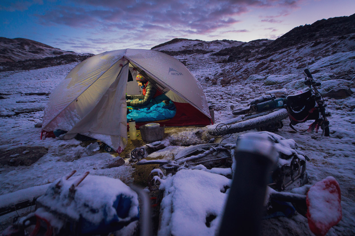
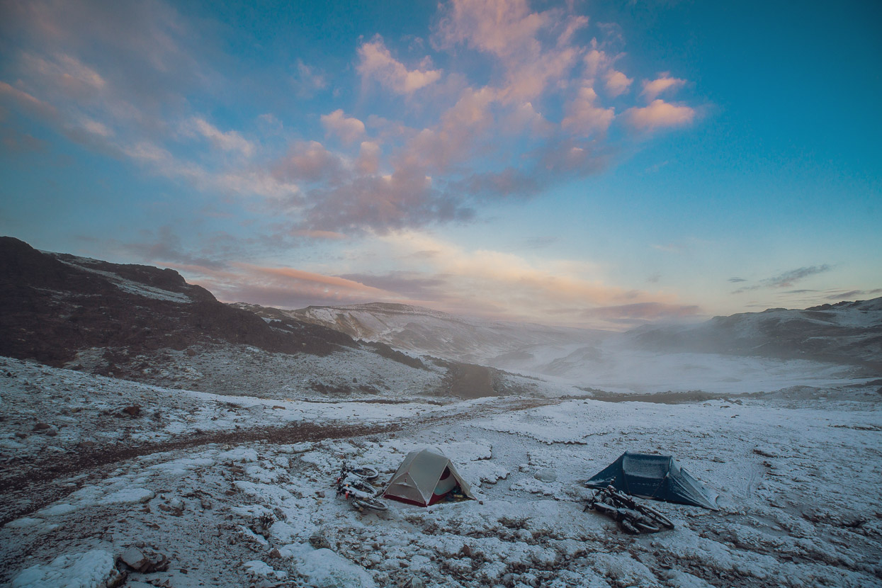
The afternoon thunderstorm came early that day and brought on-and-off snow for a few hours – probably a good afternoon to be in the tent!
The following morning Anna was feeling much improved, but James was still very slow to get going, with a headache, no appetite and general malaise. He felt good enough to try and ride though, so we put in a team effort to get their gear packed. I gave James a good sized wad of coca leaves to chew too, and that seemed to give the boost he needed to get on his bike.
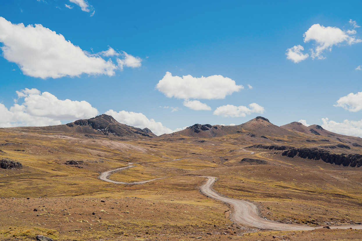
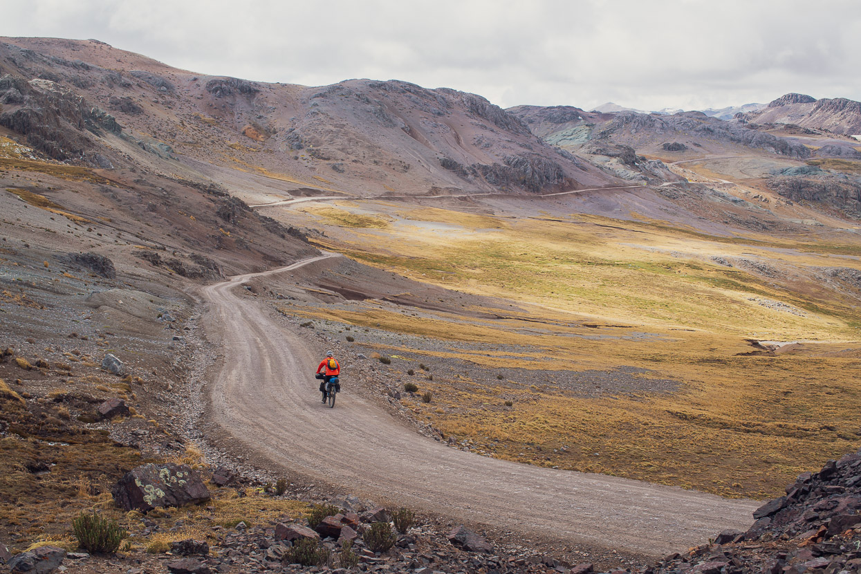
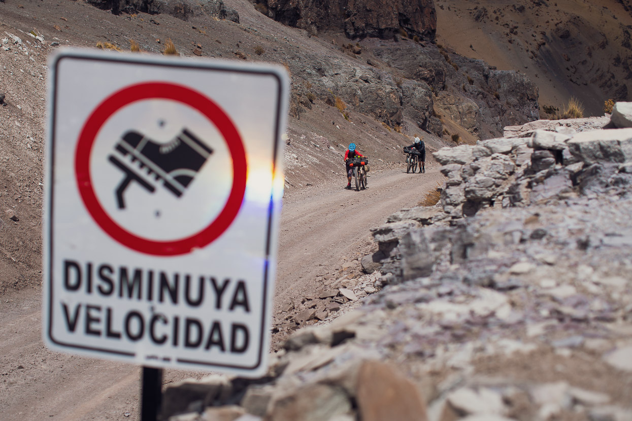
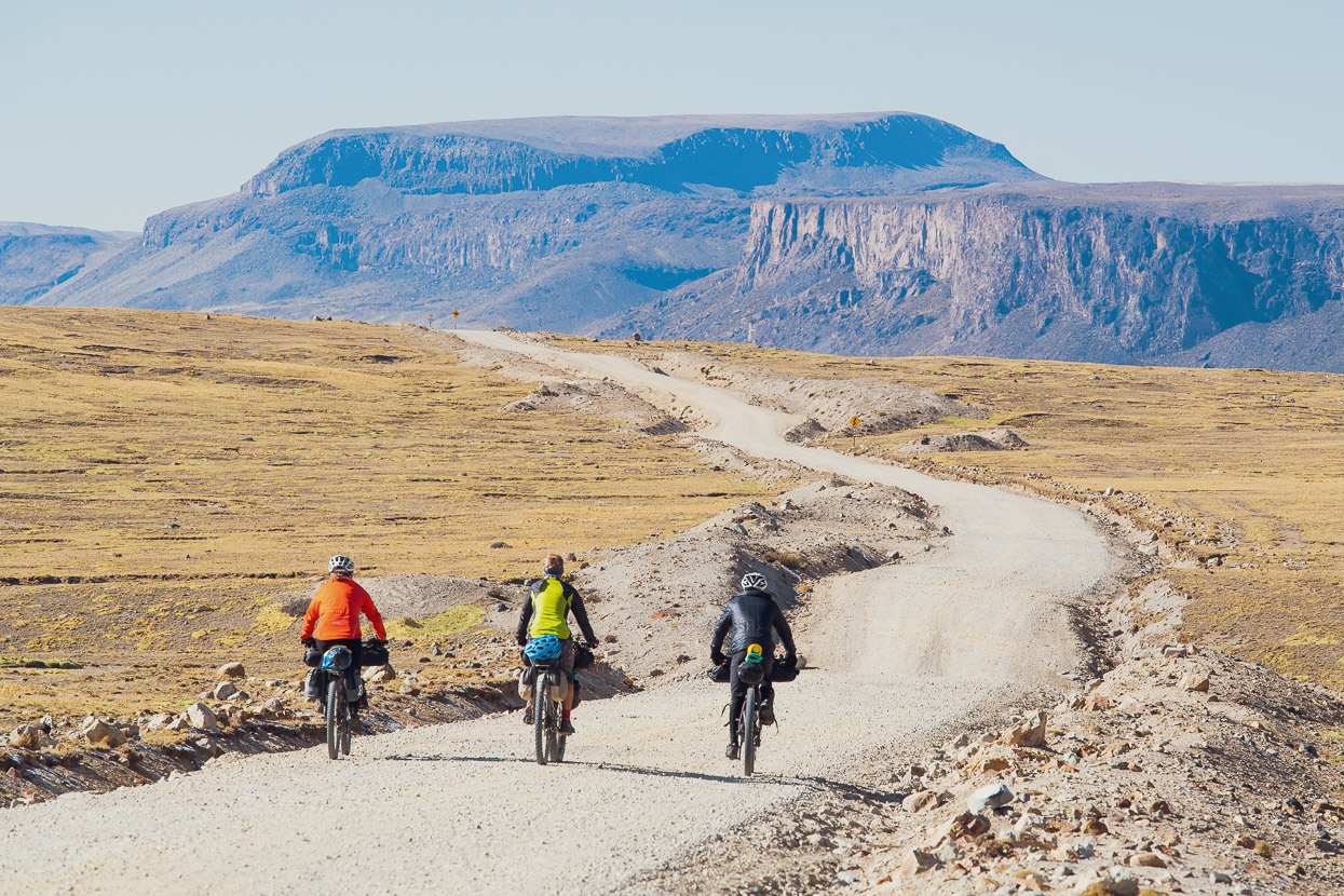
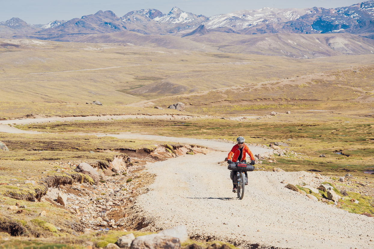
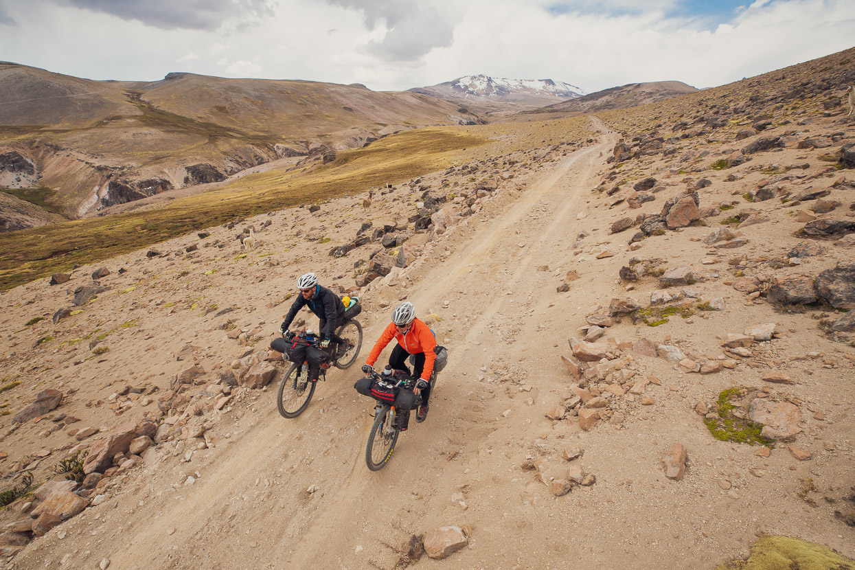
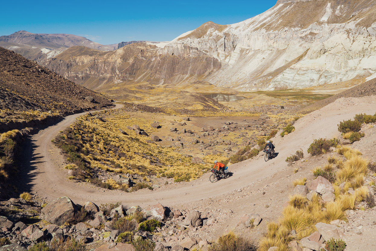
It was no easy ride though, as we had our first pass over 5000m that day, followed by several bumps around that altitude. Not only that, but the roads were uncharacteristically steep for Peru. That said, the landscape was a distraction from the shortness of breath and tough climbing and it’s a stunning place to be riding a bike.
At the other end of the scale, both myself and Hana were feeling really good, and it’s amazing to see how far our altitude adaptation has come since we first reached the heights of Peru three months back. We can sleep comfortably between 4500-5000m now, without broken sleep and the drained feeling that comes after a few days of high riding and high sleeping when you’re not accustomed to it.
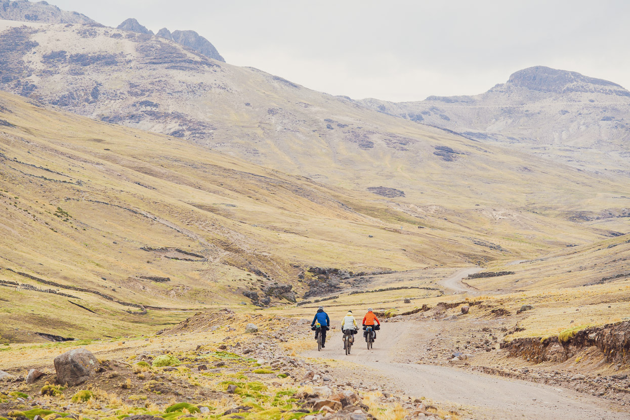
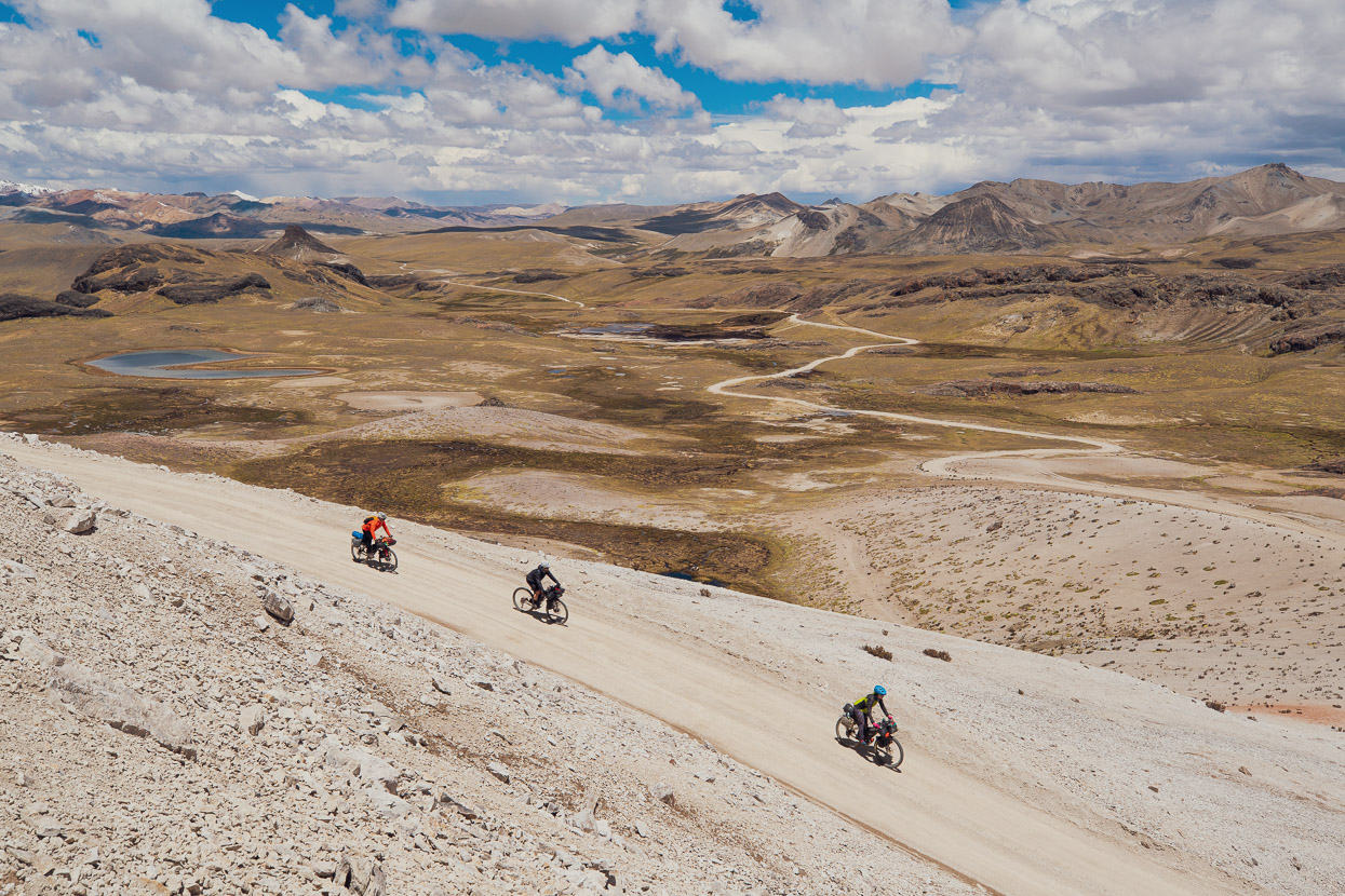
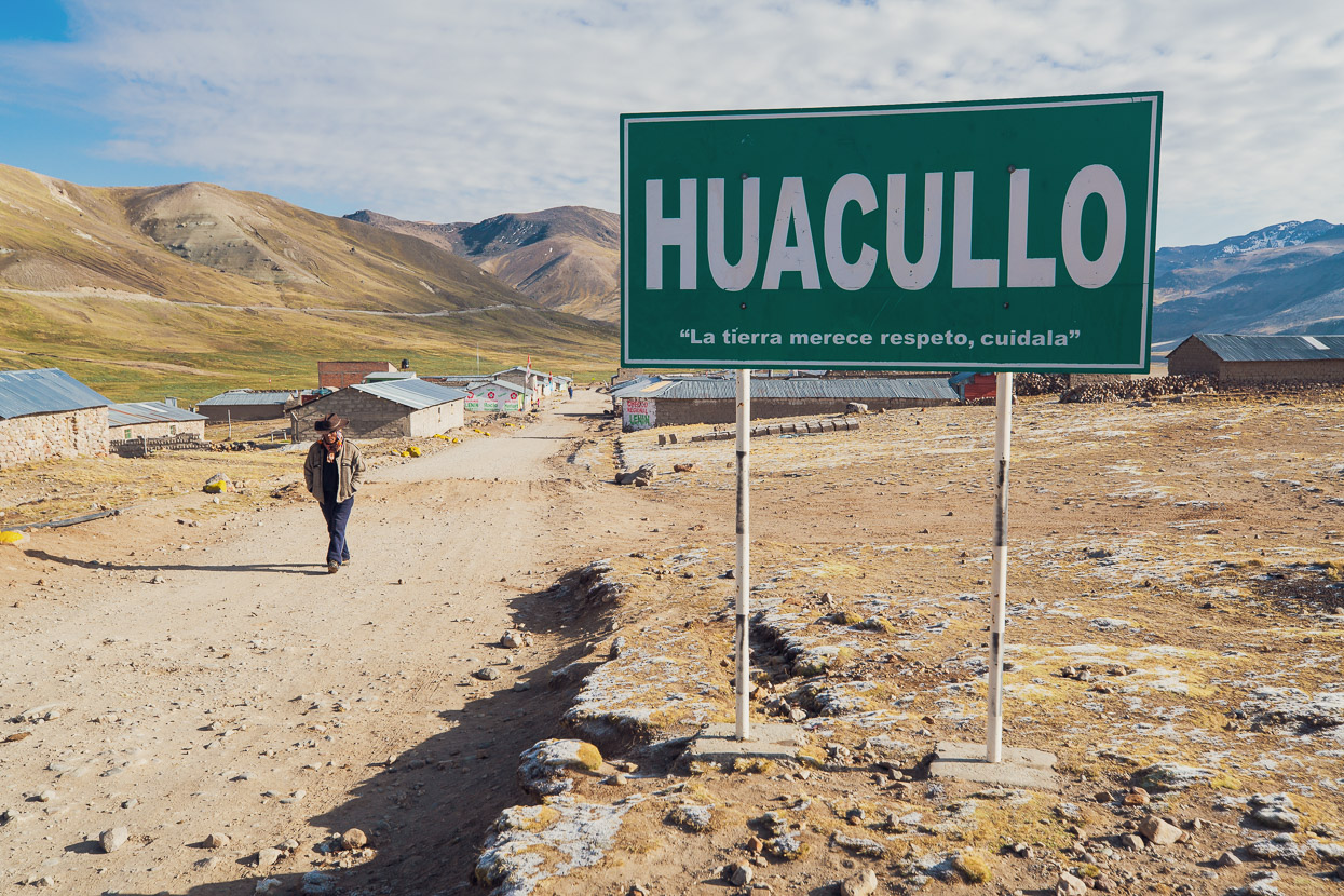
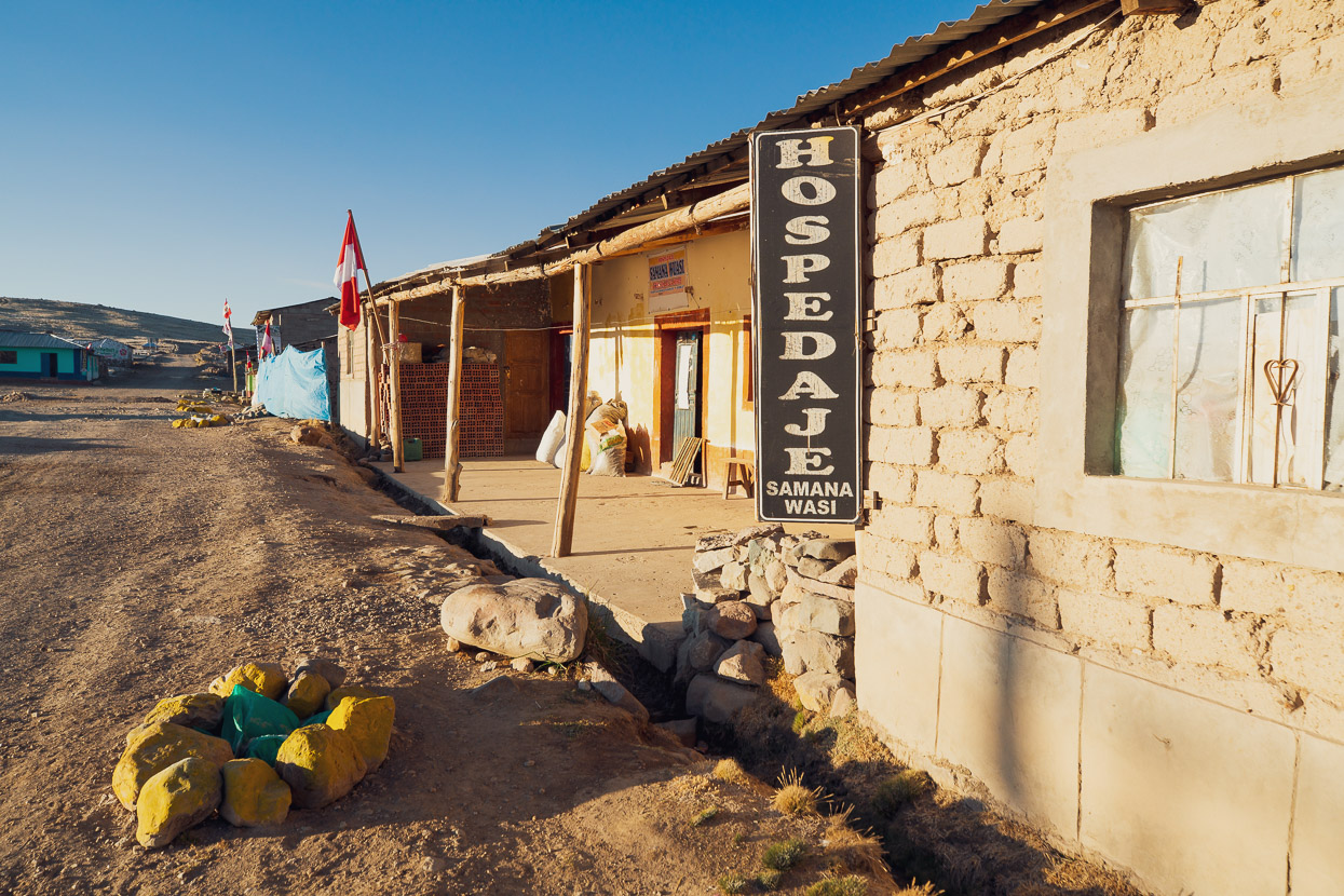
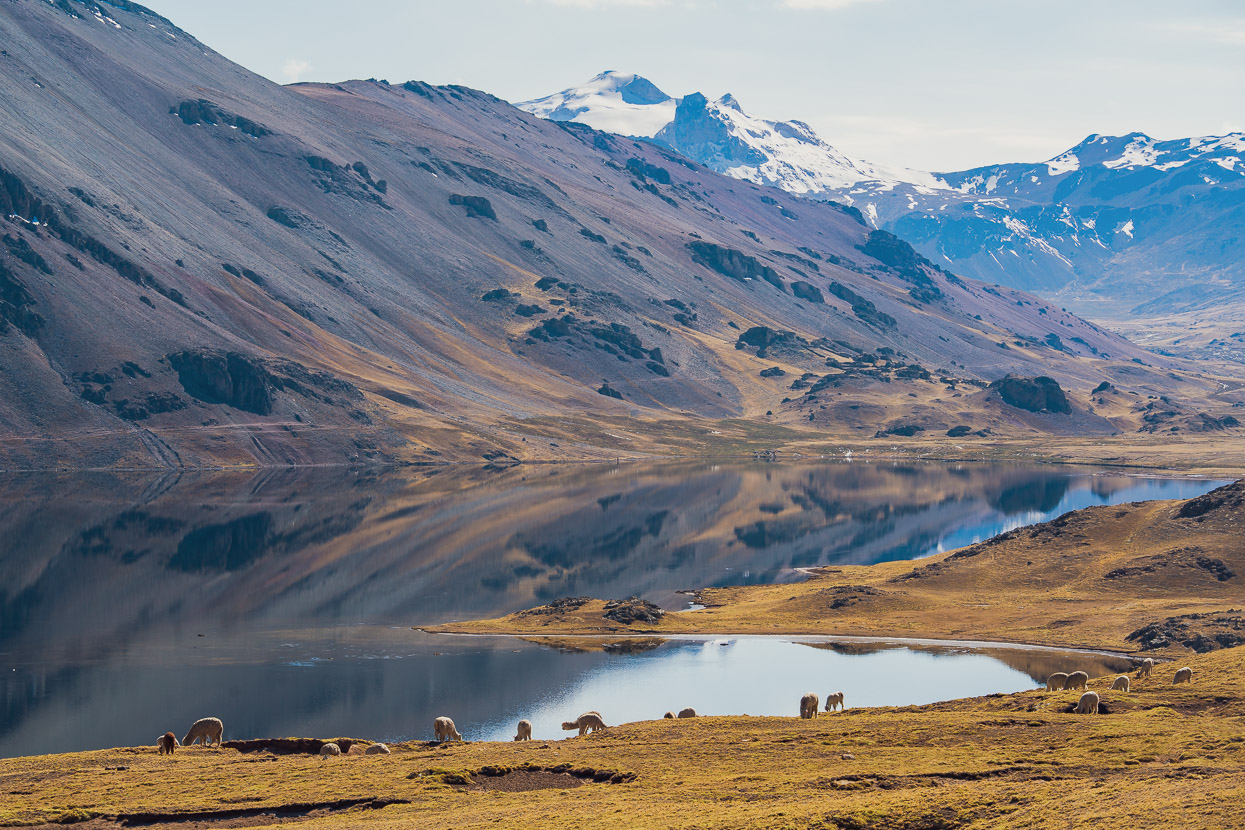
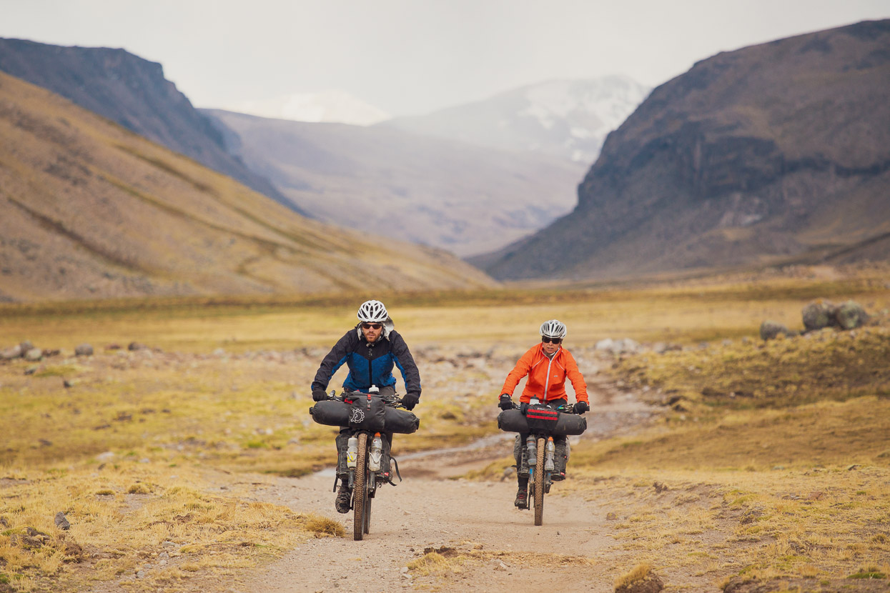
After the last high pass of the morning a mellower section of broad, open puna, dotted with lakes led us to Huacullo, where we stopped for the night after 30km.
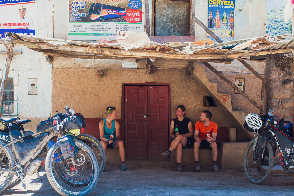
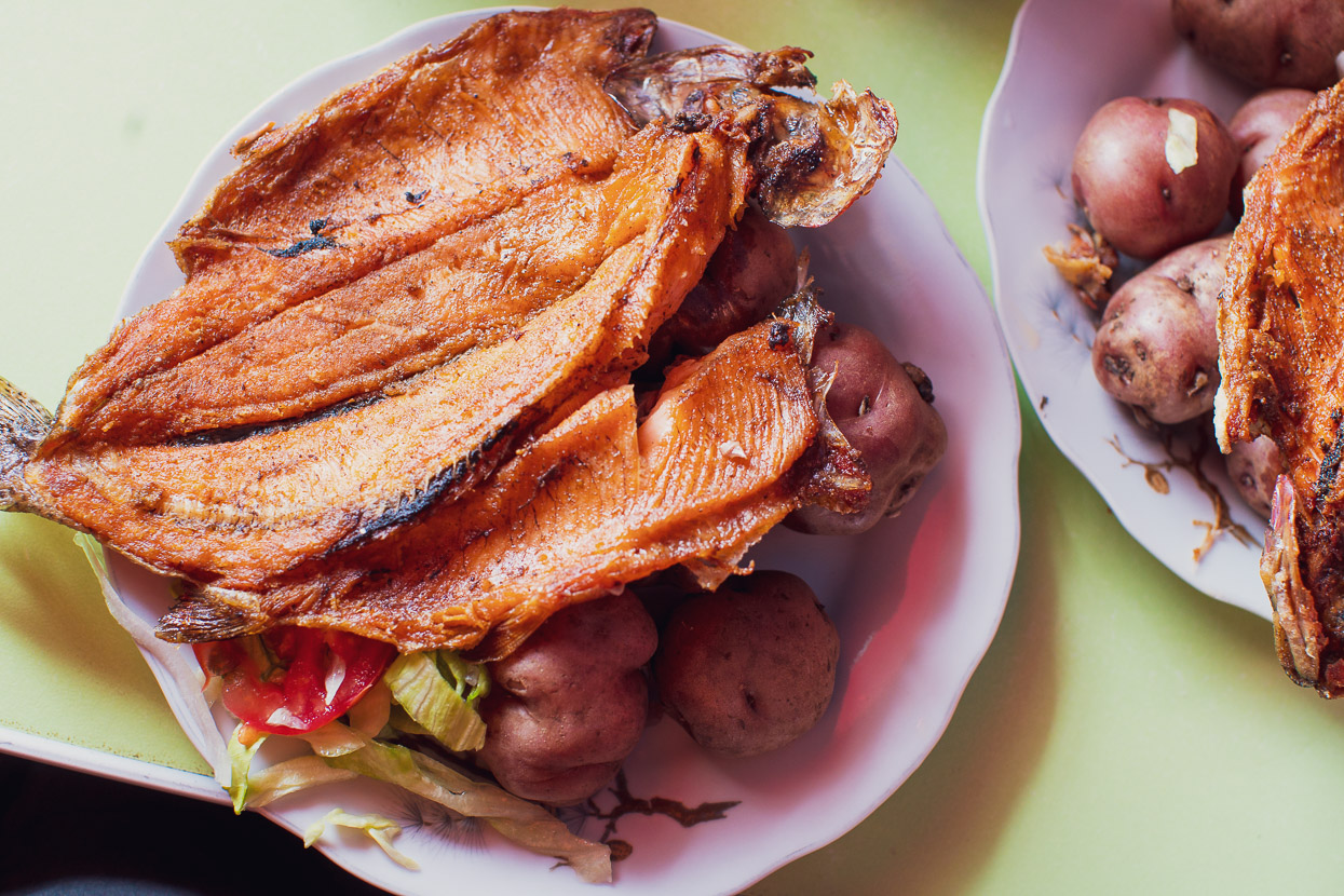
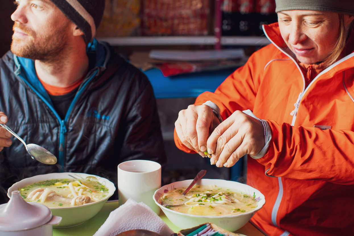
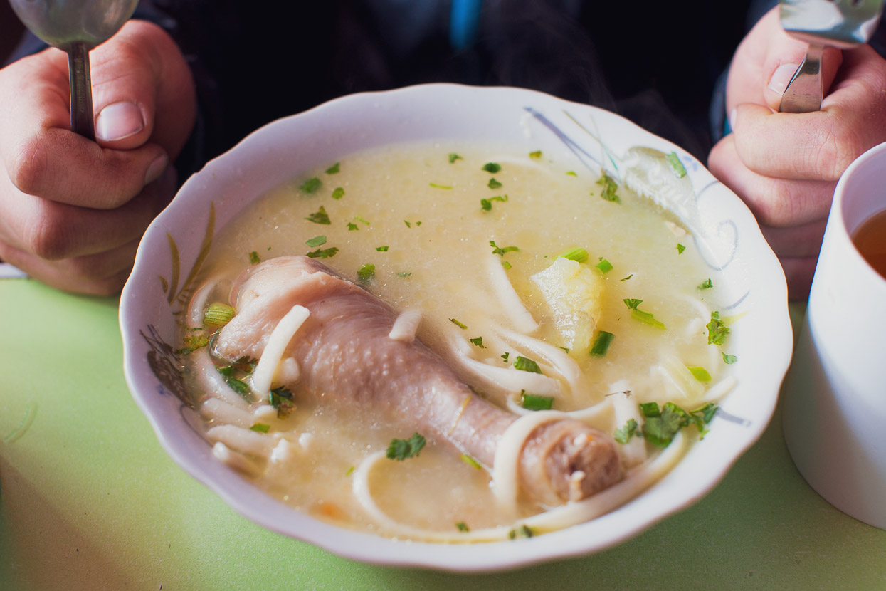
Huacullo was windswept and freezing, but the somewhat altitude-battered half of our team of four were very thankful for some shelter and hot food. The restaurant here does a pretty good caldo de gallina (chicken soup) and trucha frita (fried trout). Anna and James slept the afternoon away, but James still wasn’t really able to eat by dinner time.
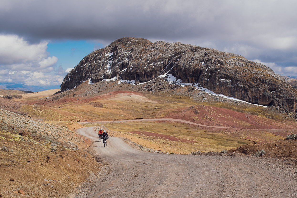
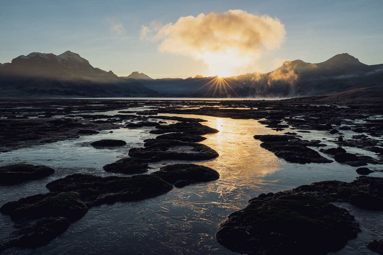
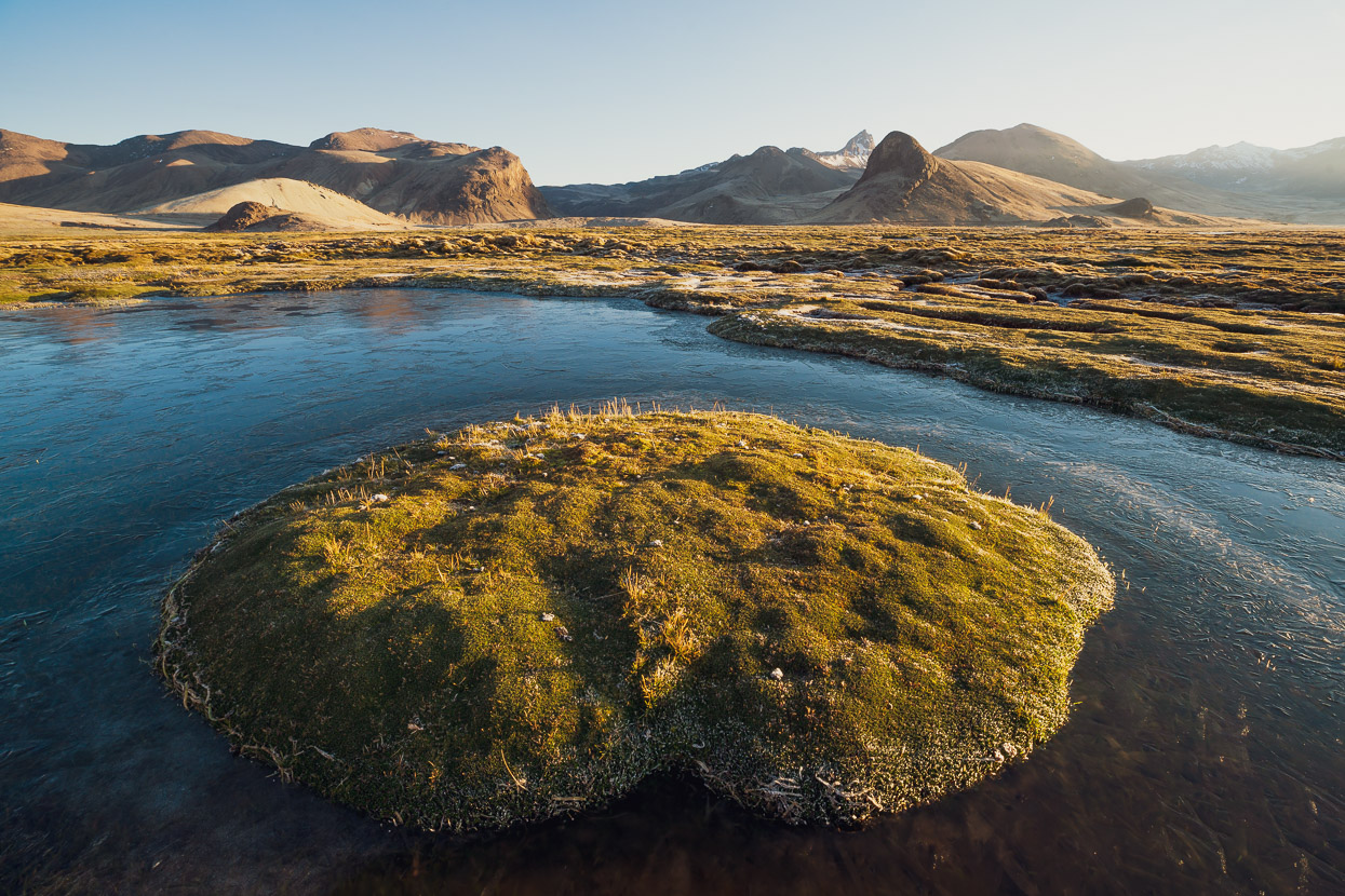
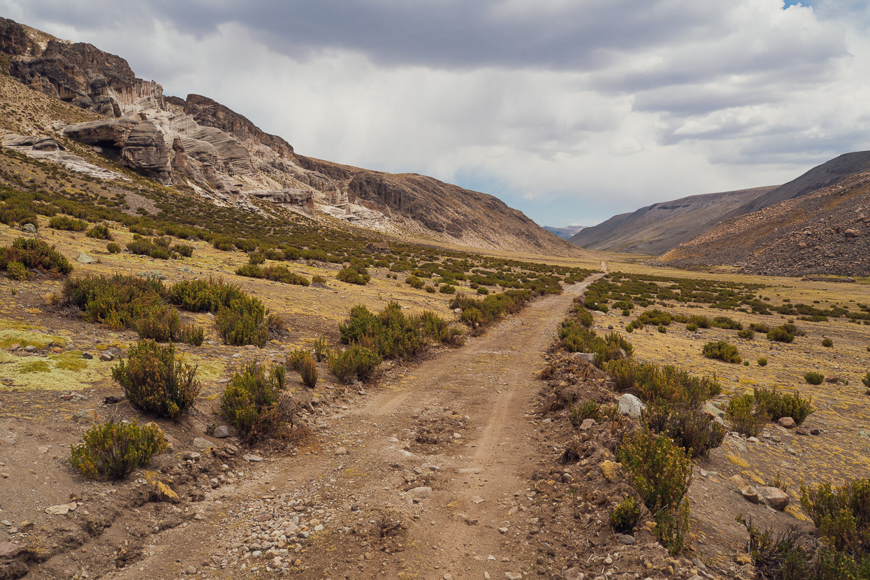
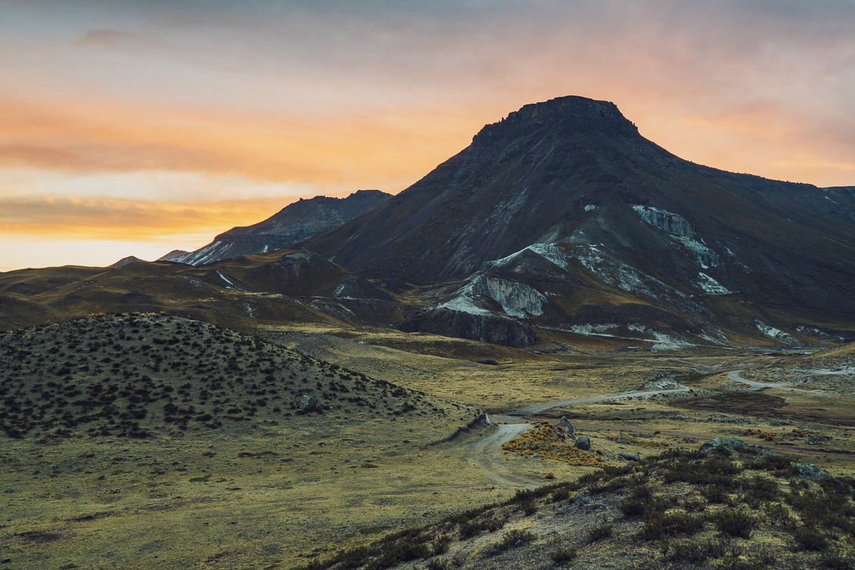
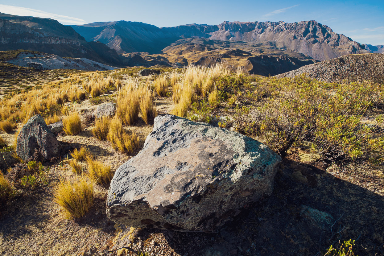
I loved the landscape here, with the odd-shaped peaks, the barren puna, the unique vegetation and the icy lakes.
In the morning Anna and James were both feeling a lot better: recovered from the long climbs and more acclimatised. Jame’s nausea and headaches had settled, so we were away early, making good time across the expansive landscape.
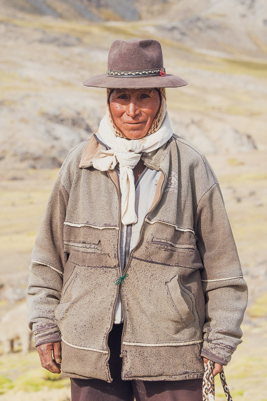
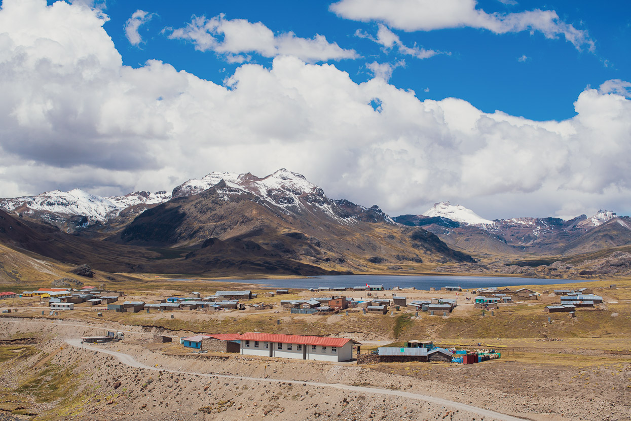
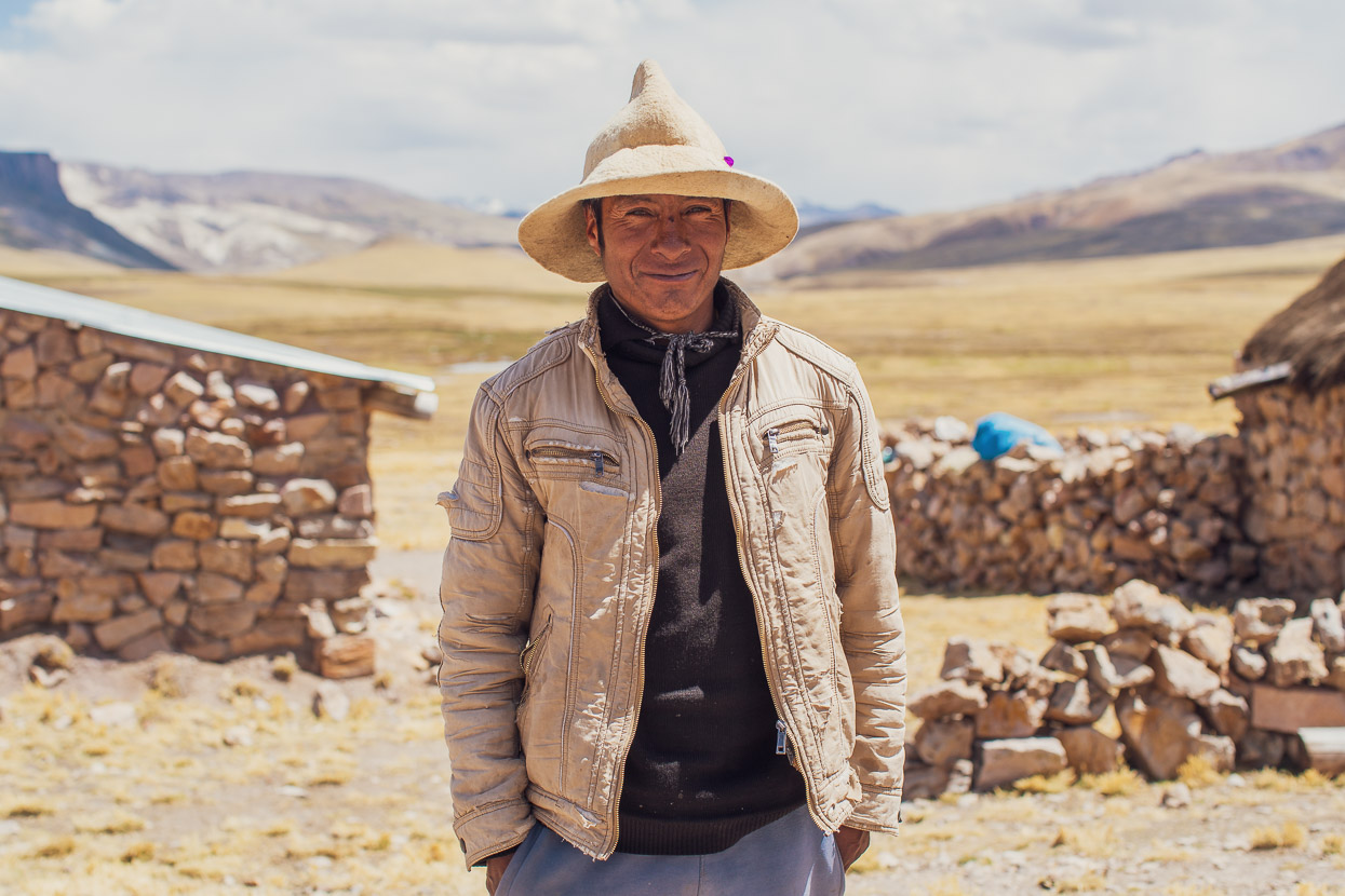
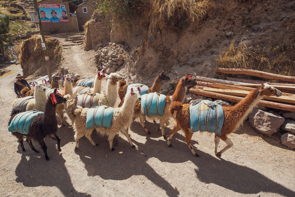
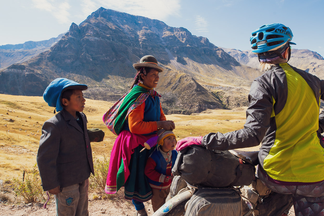
We passed a handful of very small settlements, stopping at this one to talk to this fellow. He commented that he’d seen one cyclist pass by a few weeks earlier, but they hadn’t bothered to stop and say hi. He seemed very appreciative of our efforts to talk and not just ride on by. Fair enough. This is a very remote place, and I think it’s easy for cyclists to forget – especially after a long time on the road – that you are a real novelty in these parts, especially on more recently mapped bike packing routes.
We make a real effort to talk to and connect with local people, even though language difficulties might make it awkward sometimes. For us it provides a richer experience, a better understanding of how people live here, and how they perceive us. My rule of thumb is to always wave or say hello to people on these remote roads; you never know if that same person might be the one you have to ask later to help you with a problem down the road.
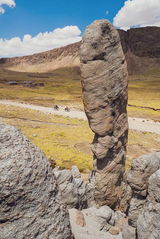
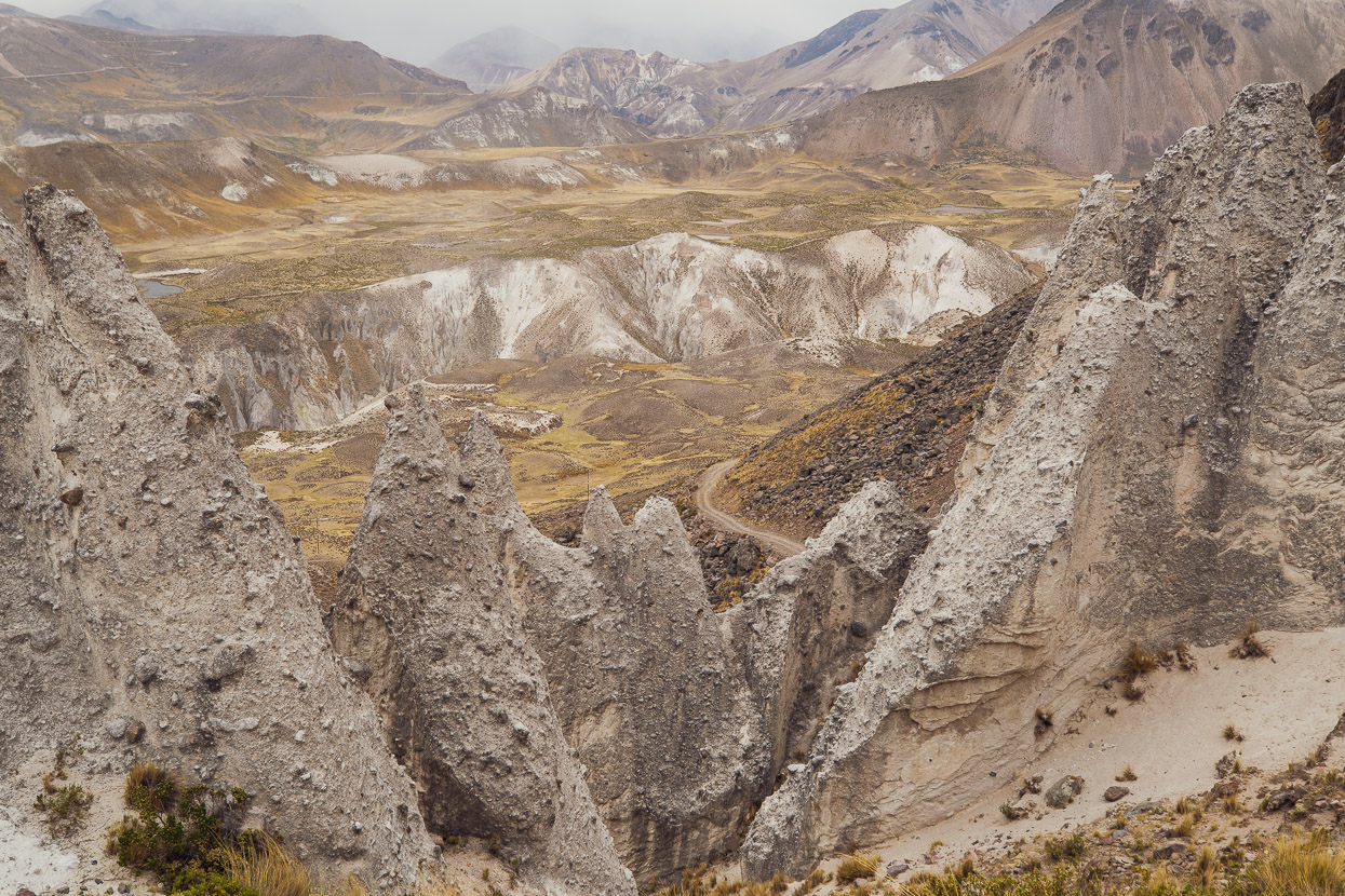
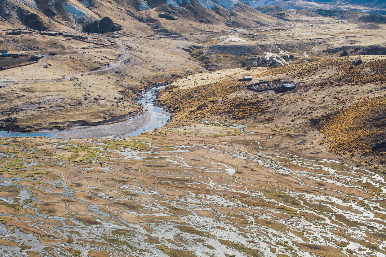
The geology in this area continues to be fascinating.
Eventually we dropped off the highest puna and began a long and convoluted ‘descent’ (there we some ups too) towards the Cotahuasi Canyon. Chased down valley by a few flecks of hail and an afternoon storm.
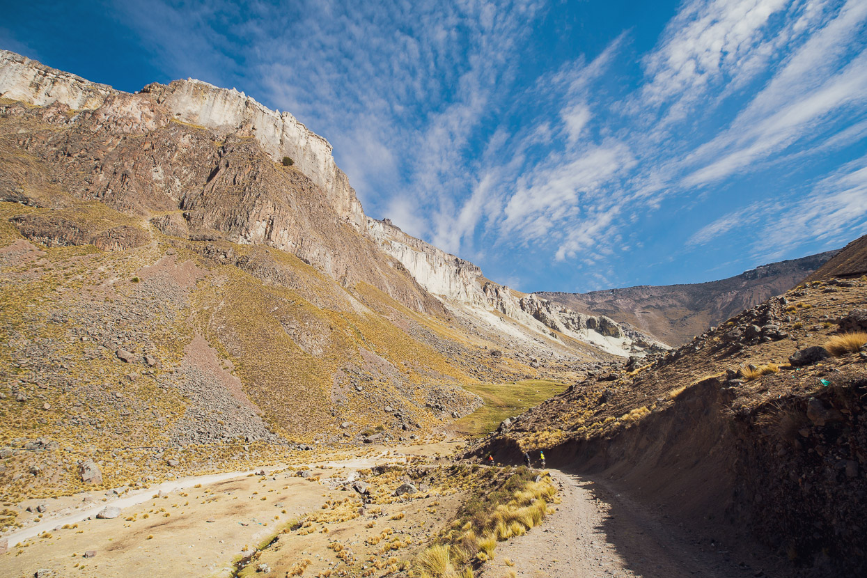
And as we near the canyon the landscape becomes more and more bizarre.
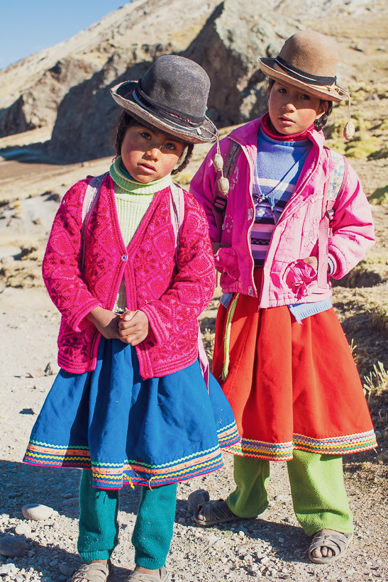
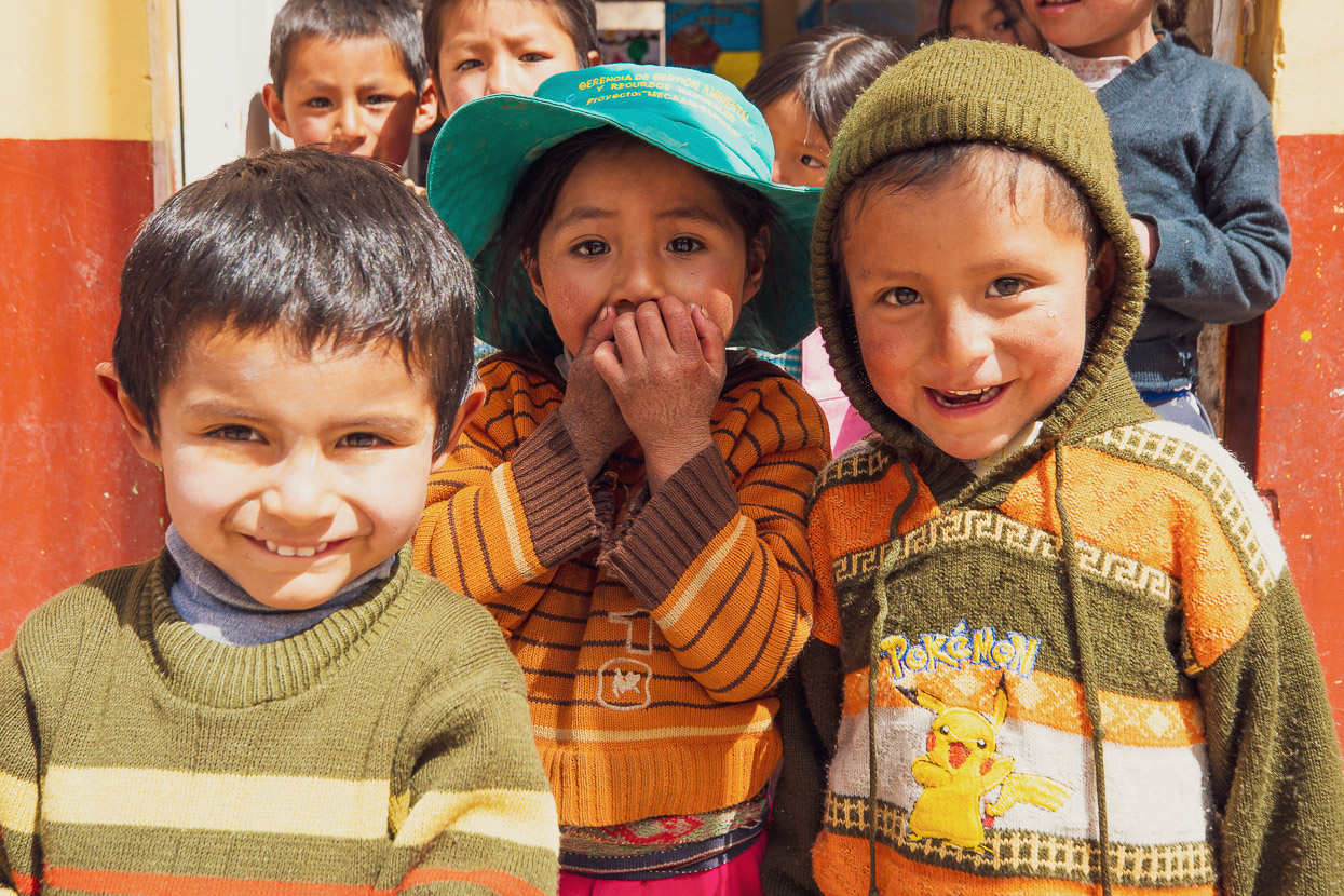
After a nights camp in some scrubland we continued in the early morning and met these two girls, walking to school in their open-toed sandals, on a day where the temperature was barely above freezing yet. We were still in a very remote area and I have no idea where their school could actually have been. The ‘village’ they’d come from was just a scattering of very primitive mud brick homes.
We dropped down, crossed the river at Quenco and rode through gorgeous mountain country, while being steadily funnelled towards the Cotahuasi Canyon.
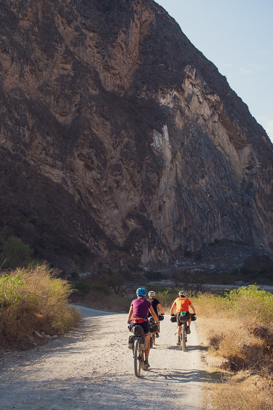
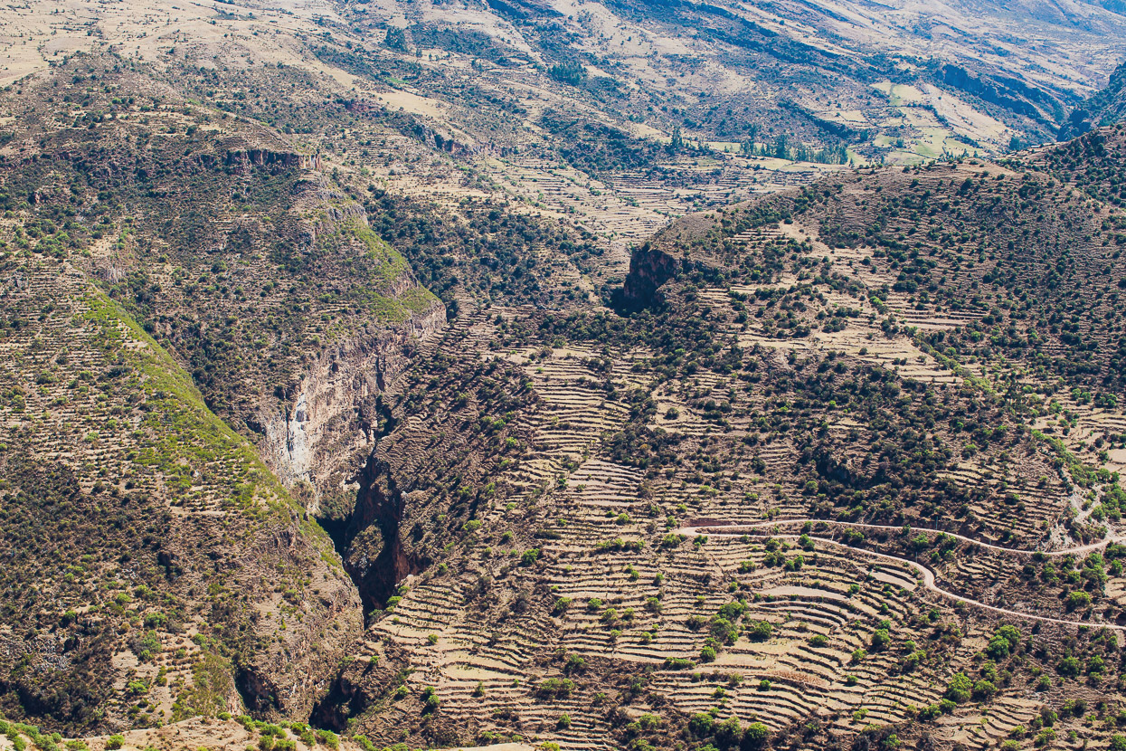
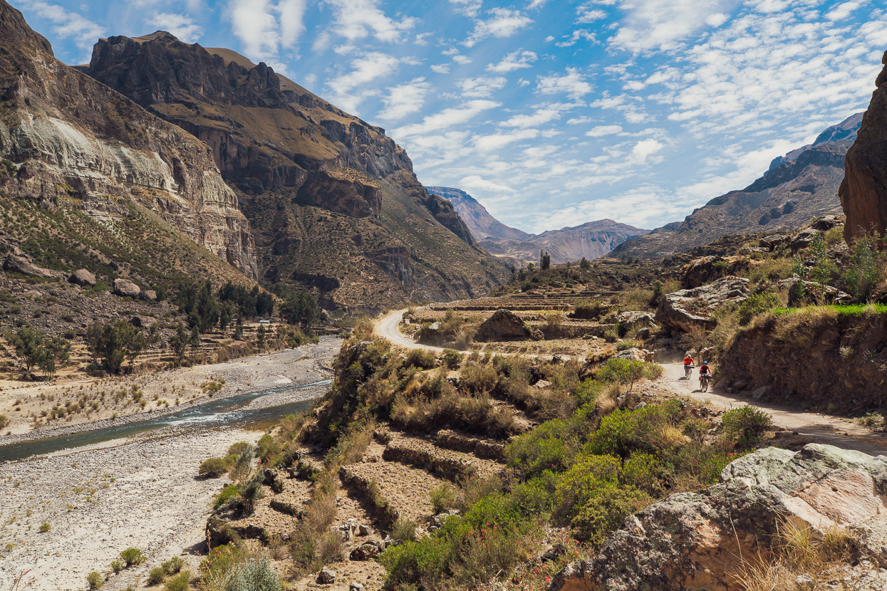
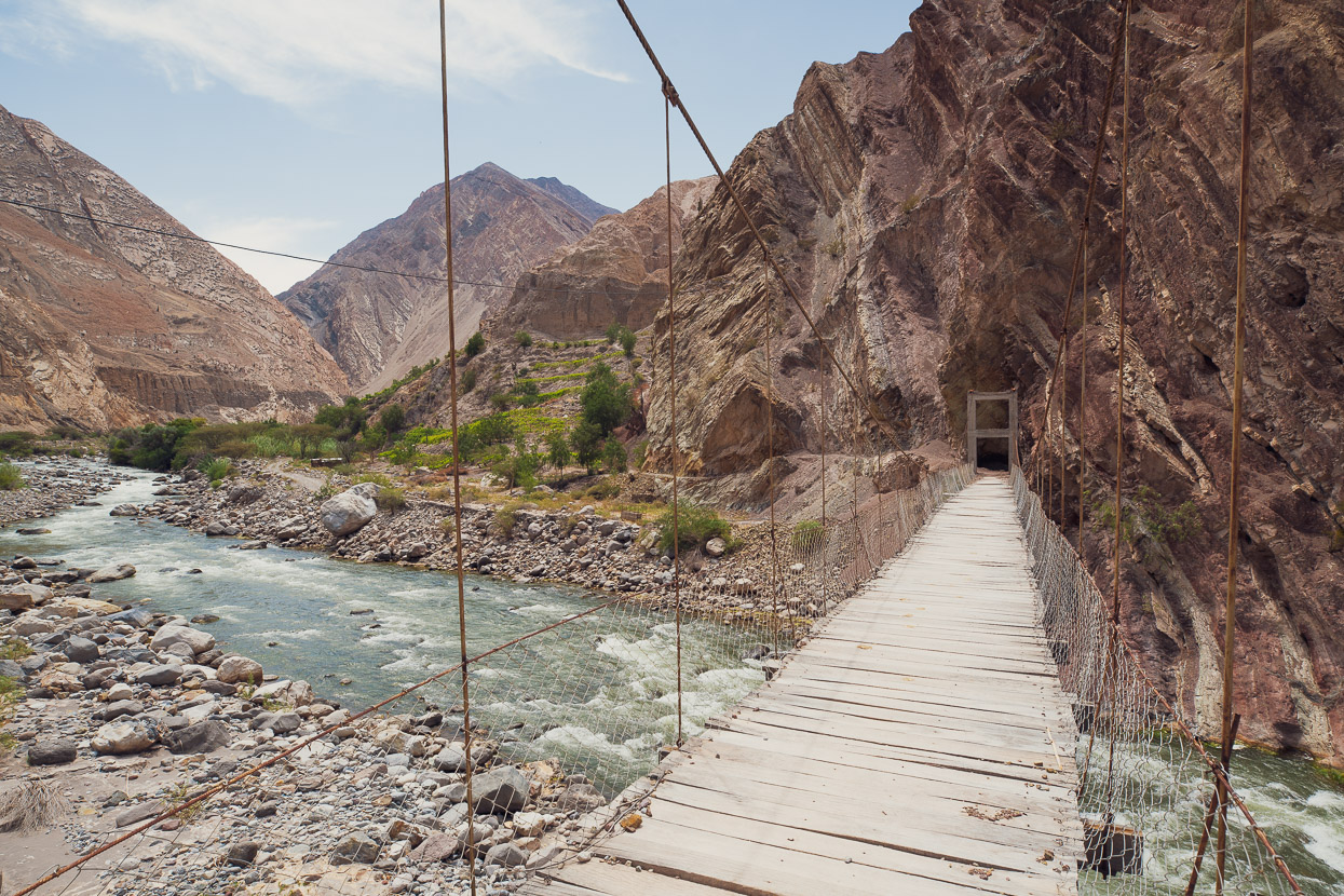
We dropped steadily into the canyon passing a few small villages, as the walls, hundreds of metres high, rose either side of the valley.
We left Jatunhuasi and the road kicked up again into a 550m climb, giving us an amazing view back to the narrow defile we’d just ridden through.
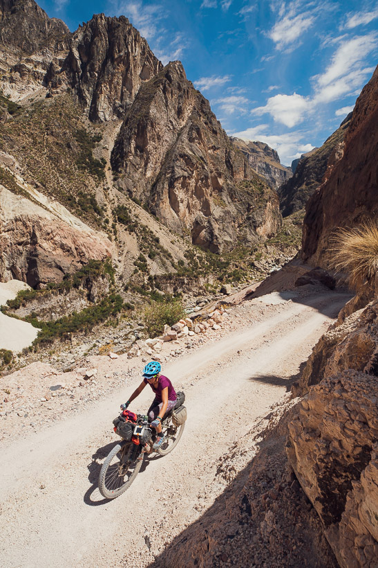
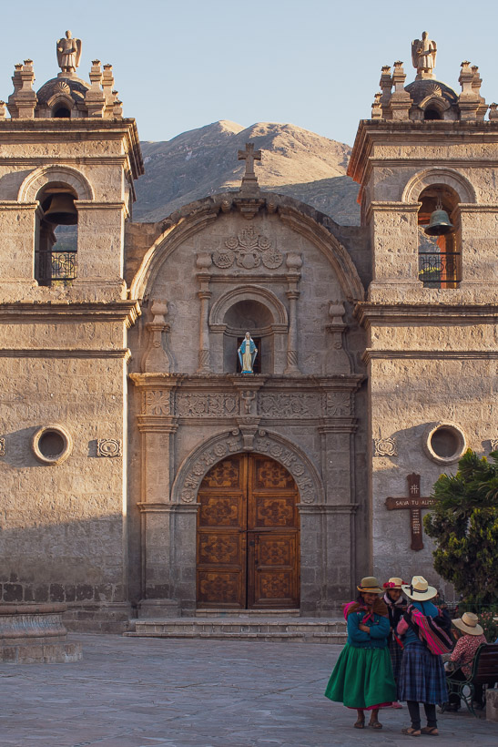
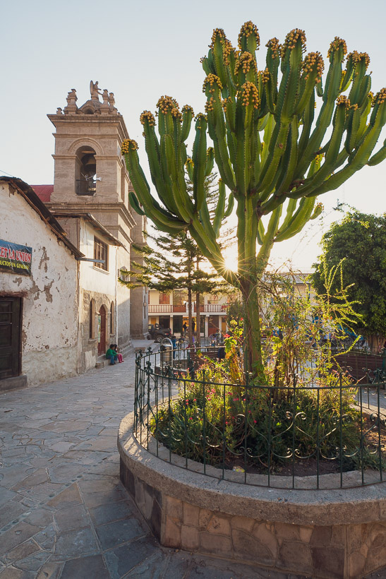
And then down again, twisting and turning on a dusty gravel road, passing cascades and towering cliffs. We pedalled on, looking forward to the town of Cotahuasi, a couple of days off, and a chance to see more of the canyon. Cotahuasi is sprawled over an ancient river terrace and isn’t pretty from a distance, but within the confines of the mixture of mud brick and modern buildings there’s a nice central plaza and a historic charm. It was a great place to arrive at.
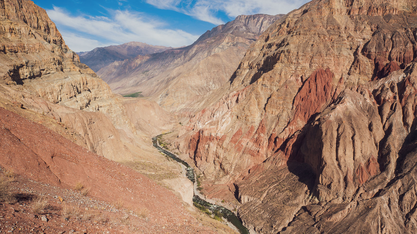
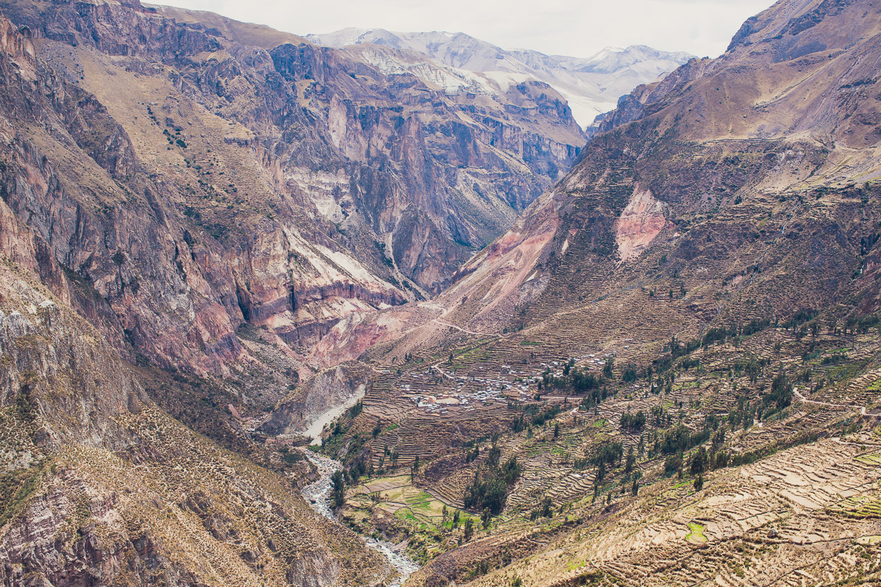
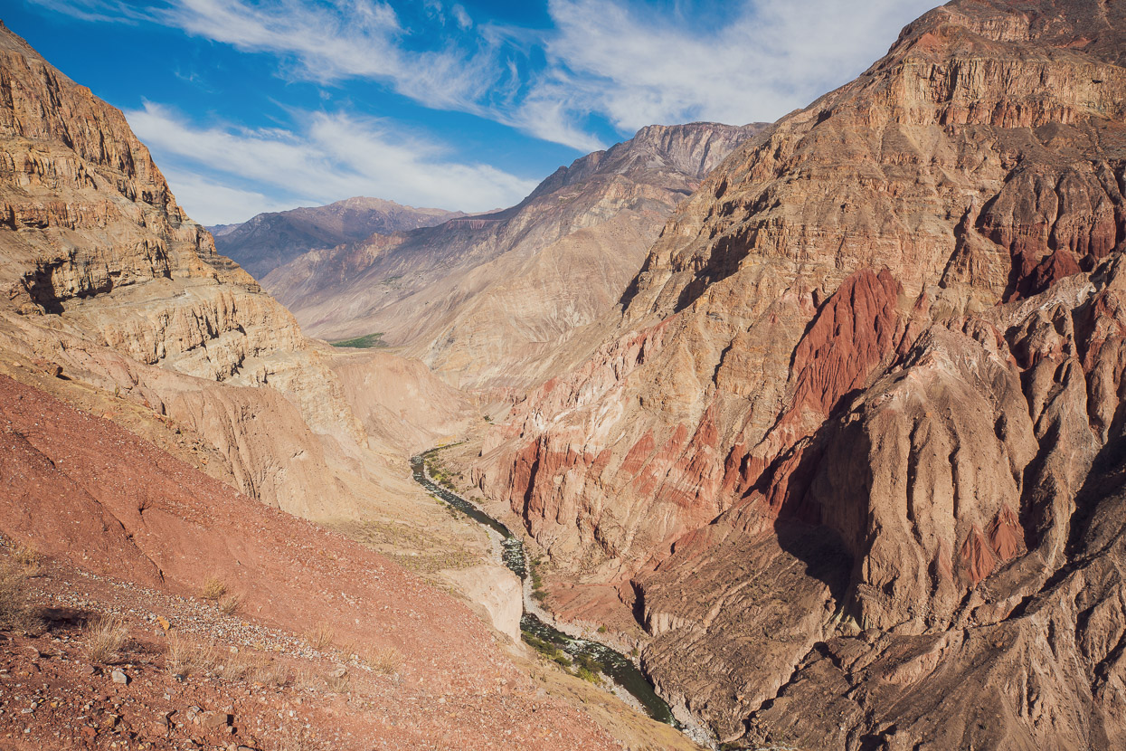
We took two days off, one to chill out completely and eat lots of food, and a second to drop deeper into the canyon. The Cotahuasi Canyon is one of the deepest in the world: a cavernous 3354m at its deepest point between the Coropuna and Surimana massifs. That’s twice the depth of the Grand Canyon, but being so isolated it sees few visitors. Colca Canyon, which also vies for the title of ‘deepest in Peru’ is nearer Arequipa and so sees many more tourists.
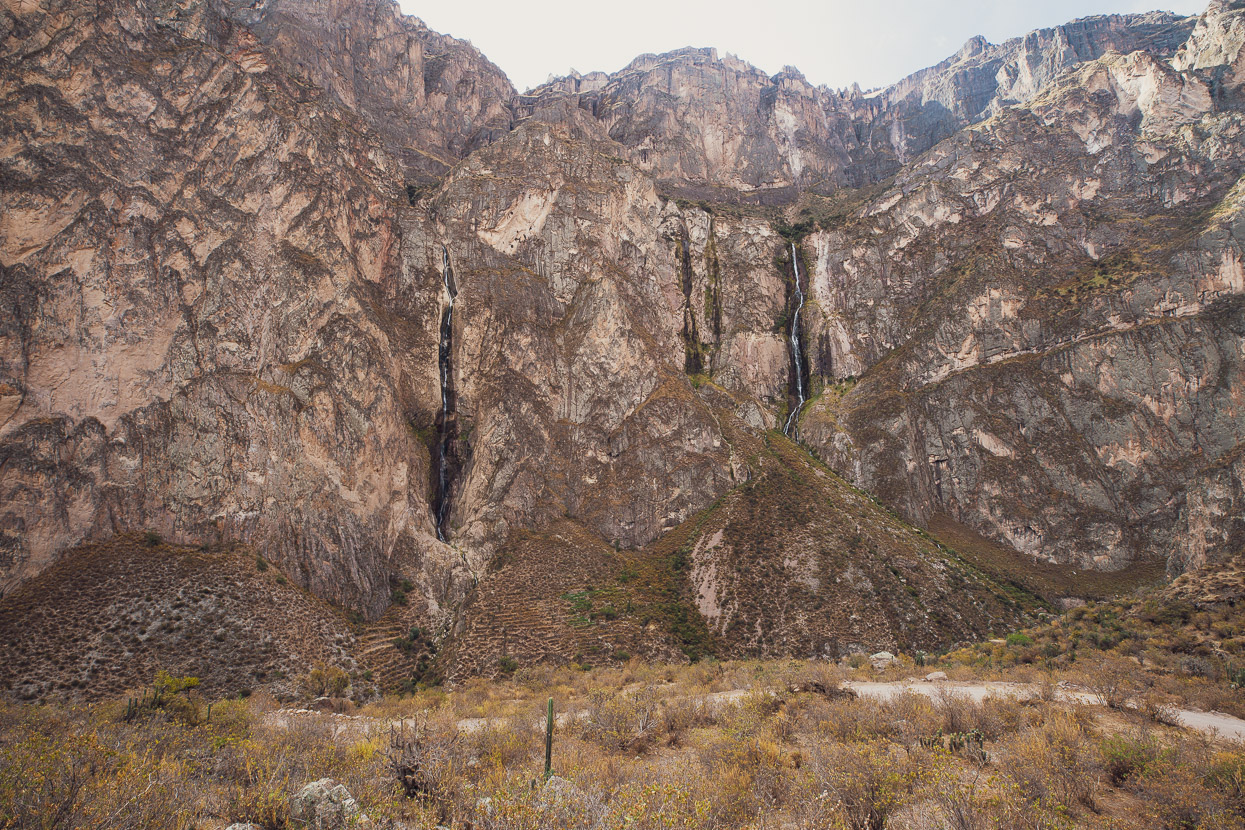
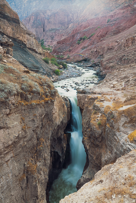
Seeing as there were four of us it was a bargain to hire a car and driver for the day and follow the precipitous dirt road that edges its way along the true left of the canyon. We stopped to check out the Catarata Sipia on the way – a powerful waterfall that churns through a narrow slash in the canyon’s bedrock.
One of the driest and bleakest places we’ve ever been, but fascinating to see for its sheer scale and colour. If you want to feel really, really small, this is a good place to visit.
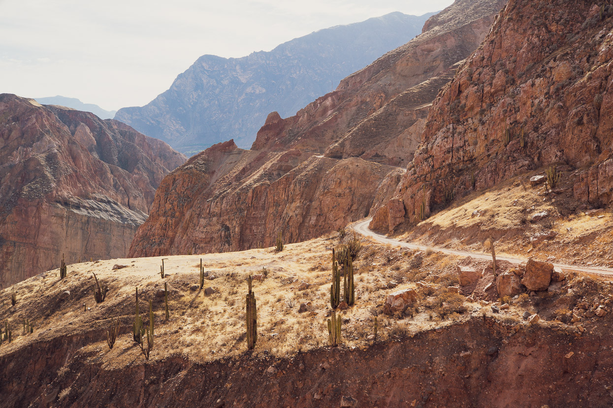
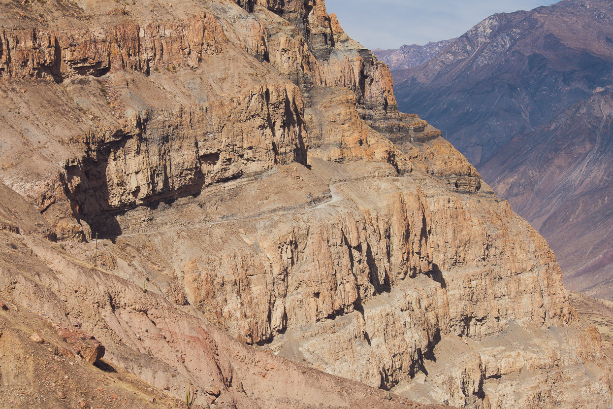
There’s lots of bollocks on the internet these days about the Top 10 Most Dangerous Roads and all that sort of clickbaity stuff. But this road really is pretty sketchy and it’s not on any list I’ve seen. If the criteria are: one lane, narrow and windy, crumbling verges, no barriers, imminent rockfall from above, and a massive drop, this one’s definitely a winner.
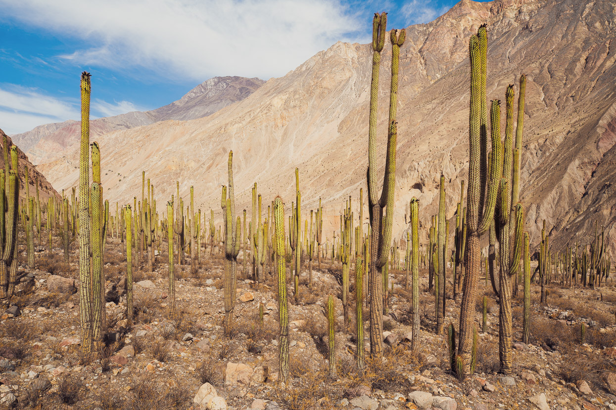
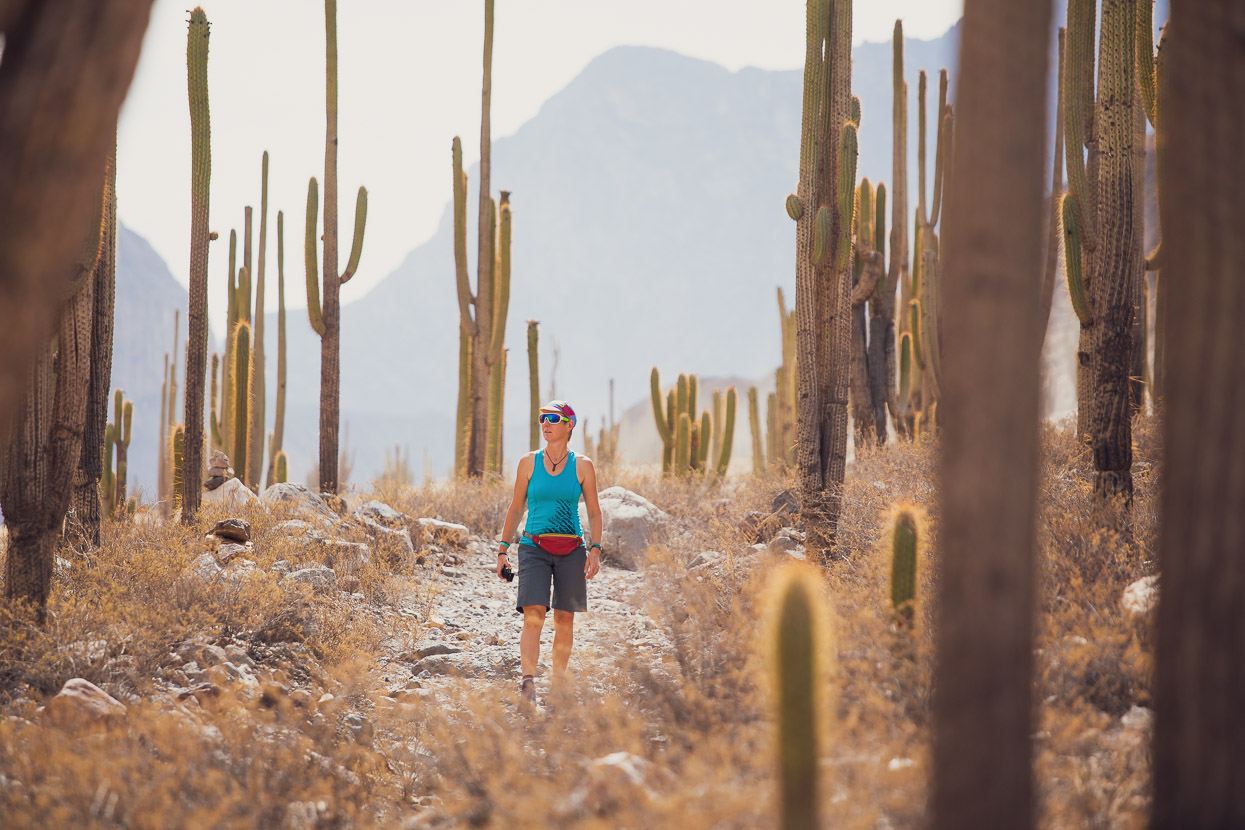
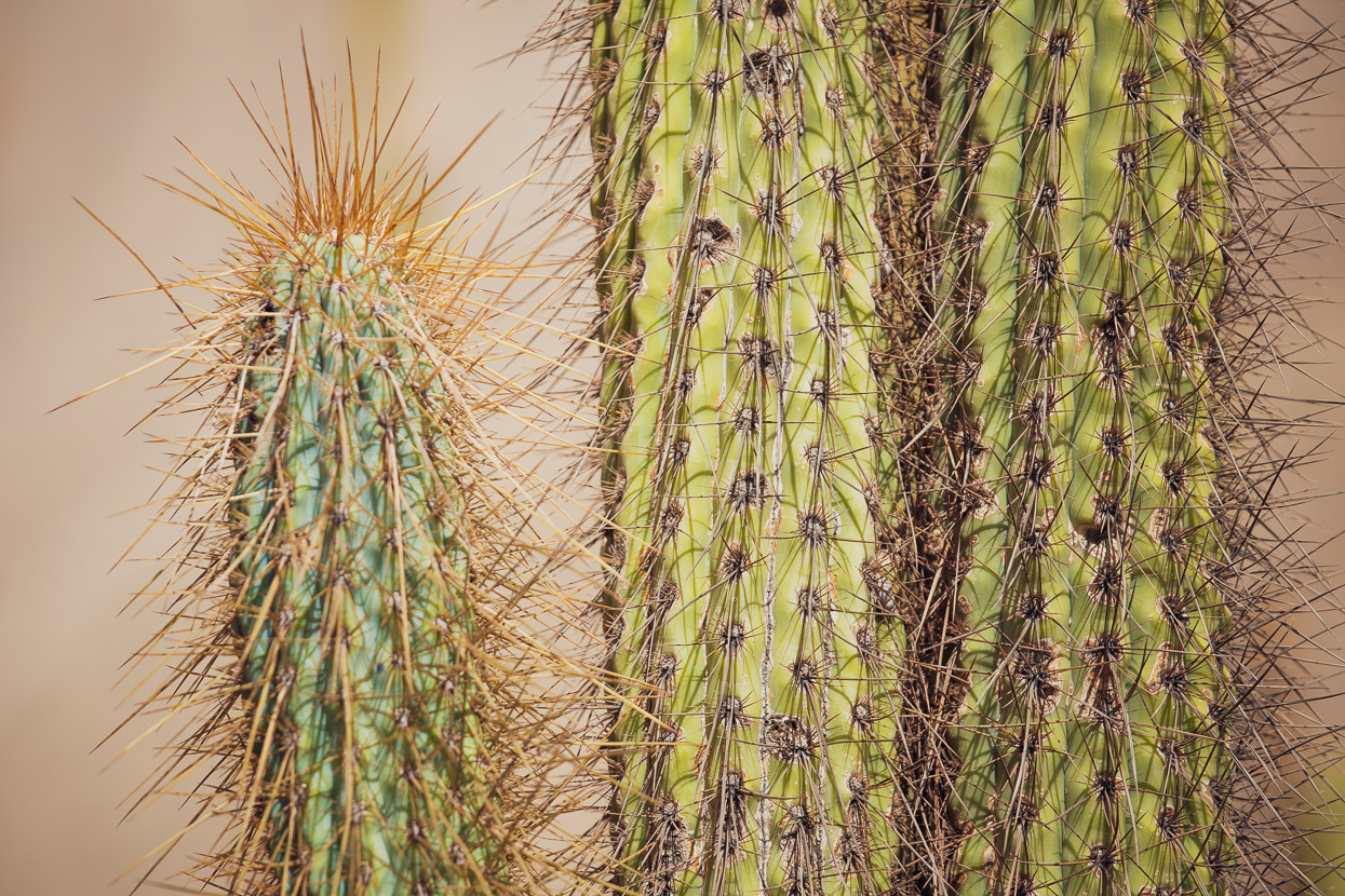
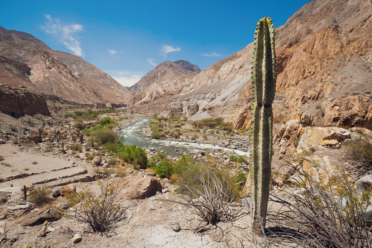
After surviving the Death Road we arrived at the Bosque de Cactus.
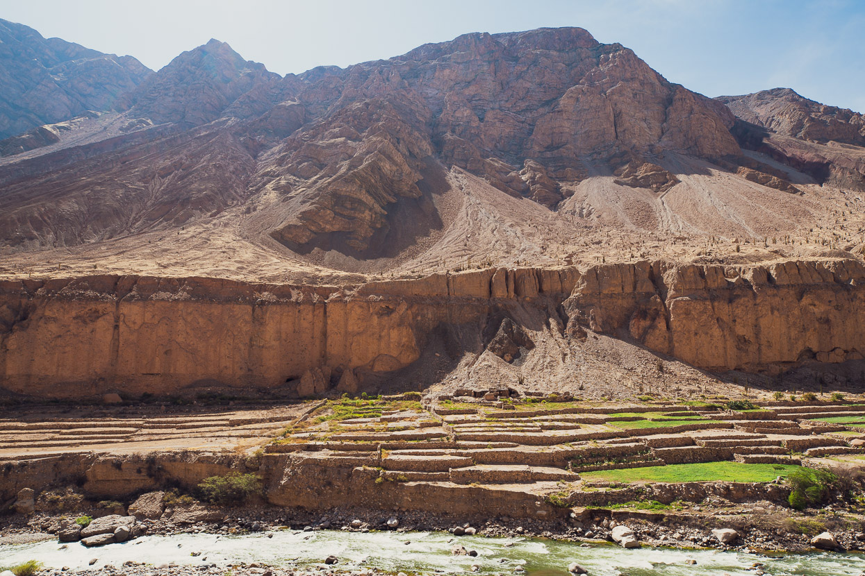
And then we passed hundreds of metres of pre-inca agricultural terracing along the edge of the river. There must have been a large population living in this challenging environment once, to grow and eat all this food.
The road ends at the tiny historic settlement of Quechualla, where we parked the car and walked further down valley, now and then crossing the little aqueducts that supply the grapes, mangos, avocados and barley that people battle to cultivate down here. We reached the canyon’s very deepest point – finding ourselves at a low (and baking hot) 1500m metres elevation. The sides of the canyon towered above us; walls of crumbling cliffs, scree and boulders, split in places by deep gullies which must surge with water in the heavy rains of the wet season. An amazing place.
Part two coming soon…
Do you enjoy our blog content? Find it useful? We love it when people shout us a beer or contribute to our ongoing expenses!
Creating content for this site – as much as we love it – is time consuming and adds to travel costs. Every little bit helps, and your contributions motivate us to work on more bicycle travel-related content. Up coming: Gear Reviews and GPX Tracks.
Thanks to Biomaxa, Revelate Designs, Kathmandu, Hope Technology and Pureflow for supporting Alaska to Argentina.

