Climbing Volcan Chachani.
We arrived in Arequipa nearly three weeks ago, and it’s from here I compile our latest post. Leaving has become something of a daily joke as we keep finding excuses to stay ‘just another night’.
It’s fair to say that we have become pretty comfortable here. Days with temps in the low 20s and nights where you only just need a jacket to be comfortable feel very agreeable after the two months of frigid winds and freezing nights we’ve experienced crossing from Huaraz to here along the Peru Divide. There’s plentiful cheap, good food, affordable accomodation, and for a city of million people, the historic centre (where we hang out) is never too crowded. Arequipa’s surroundings are a desert of volcanic boulders, basalt cliffs and ancient ash deposits – no wonder, considering there are three spectacular volcanoes, Chachani, Misti and Picchu Picchu that backdrop the city.
It’s been a pretty intense run really, the past few months, and I guess we needed a break. The last time we stopped for this long was in Cartagena, on Colombia’s north coast, back in December/January so a long stop was well overdue, and the climate here makes it the perfect place to do it — our bodies feel relaxed, our cracked skin has healed and (apart from the nagging cold I’m carrying) we both feel recharged and ready for more.
We haven’t been entirely idle for the three weeks we’ve been here though. Crossing the high pampa on the way into the city we’d gazed up at Volcan Chachani’s 6075m summit and a seed of thought had been sown. After a few days here, recharging our batteries, we decided to go for it — tempted by the thoughts of an epic view from the summit, as well as a new height record for us both.
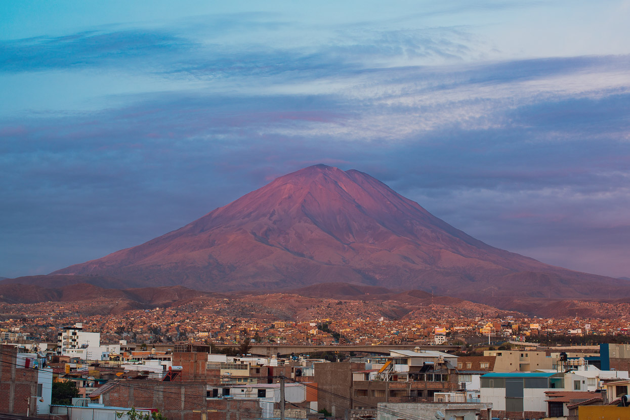
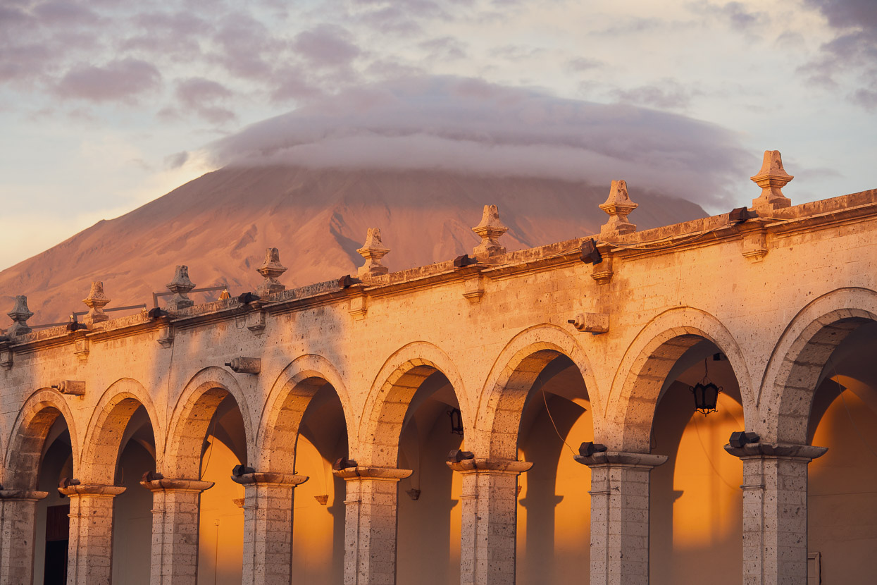
Volcan Misti (5822m) catches beautiful light with the setting sun most evenings. This elegant mountain is the most popular of the two nearest the city (Misti & Chachani) for guided ascents as it’s slightly lower and a more appealing peak.
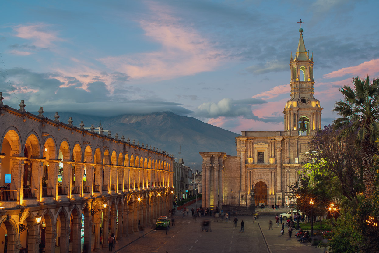
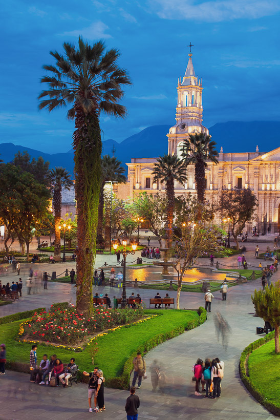
Out the corner of the Plaza de Armas Volcan Chachani is visible too, but don’t be deceived by its hill-like appearance: it’s over 3700 vertical metres higher than the plaza!
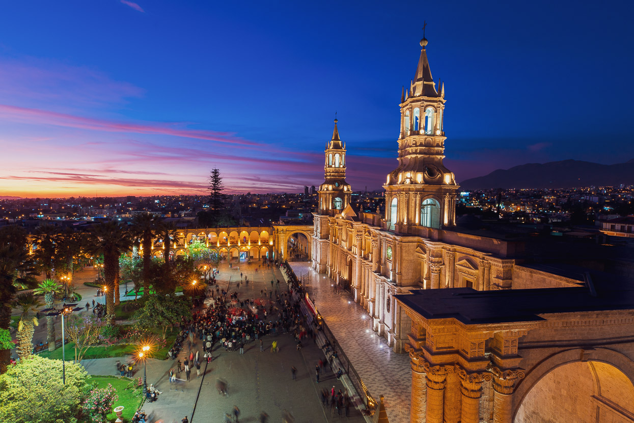
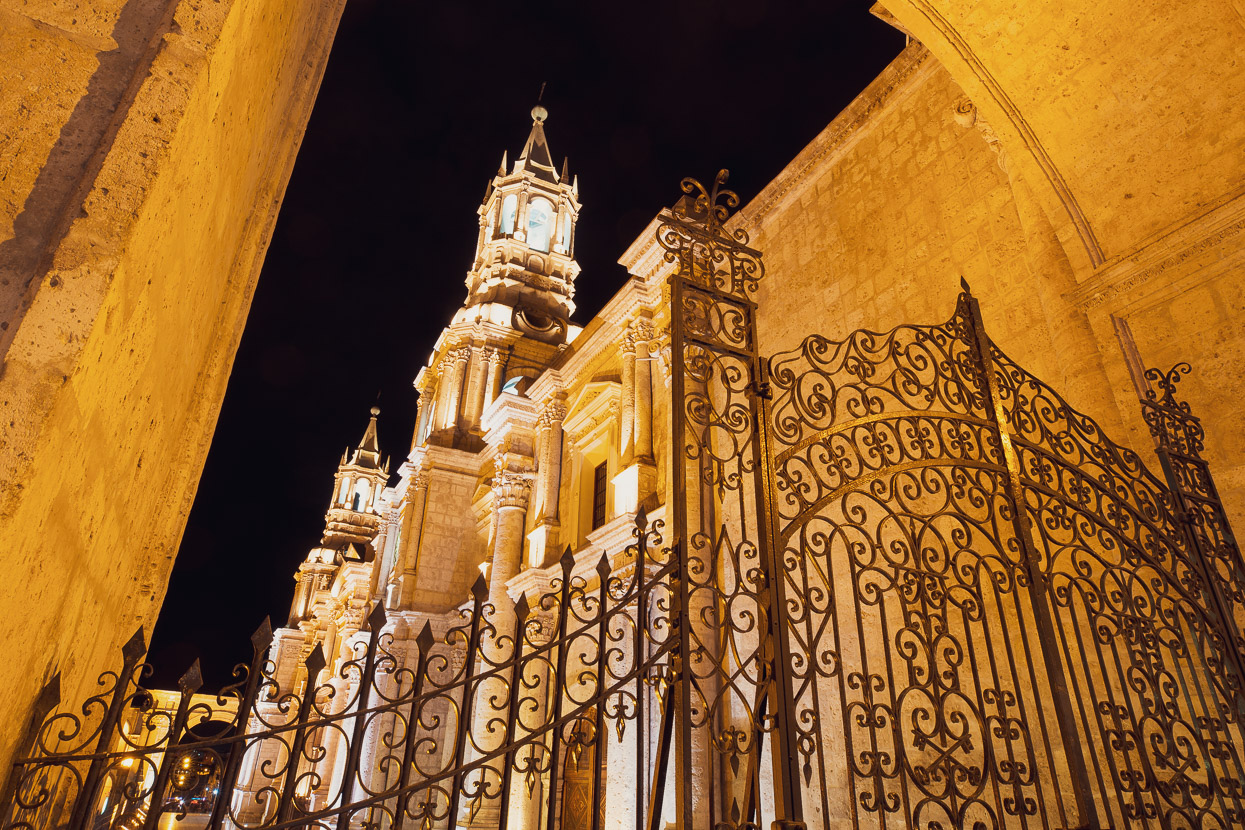
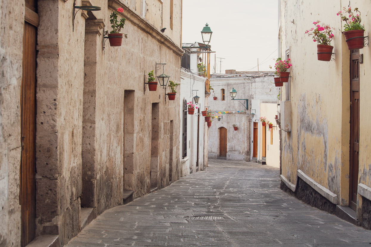
It’s easy to see why this city is regarded as one of the most beautiful in South America.
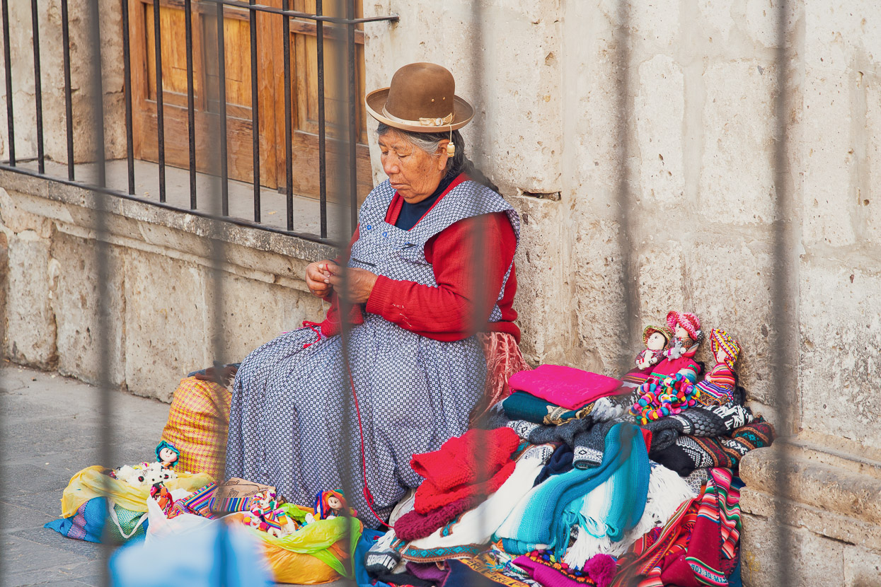
Like any plaza in a Latin America, Arequipa’s is a very popular place to hang out, meet friends, buy an ice cream or get your shoes shone. On Sundays, in particular, families come out in force to socialise and enjoy the cool of the evening It’s a cultural aspect of Latin America that we really love, but seems somehow forgotten or overlooked in our non-latin societies, where public spaces are not always well designed to encourage people to occupy them.
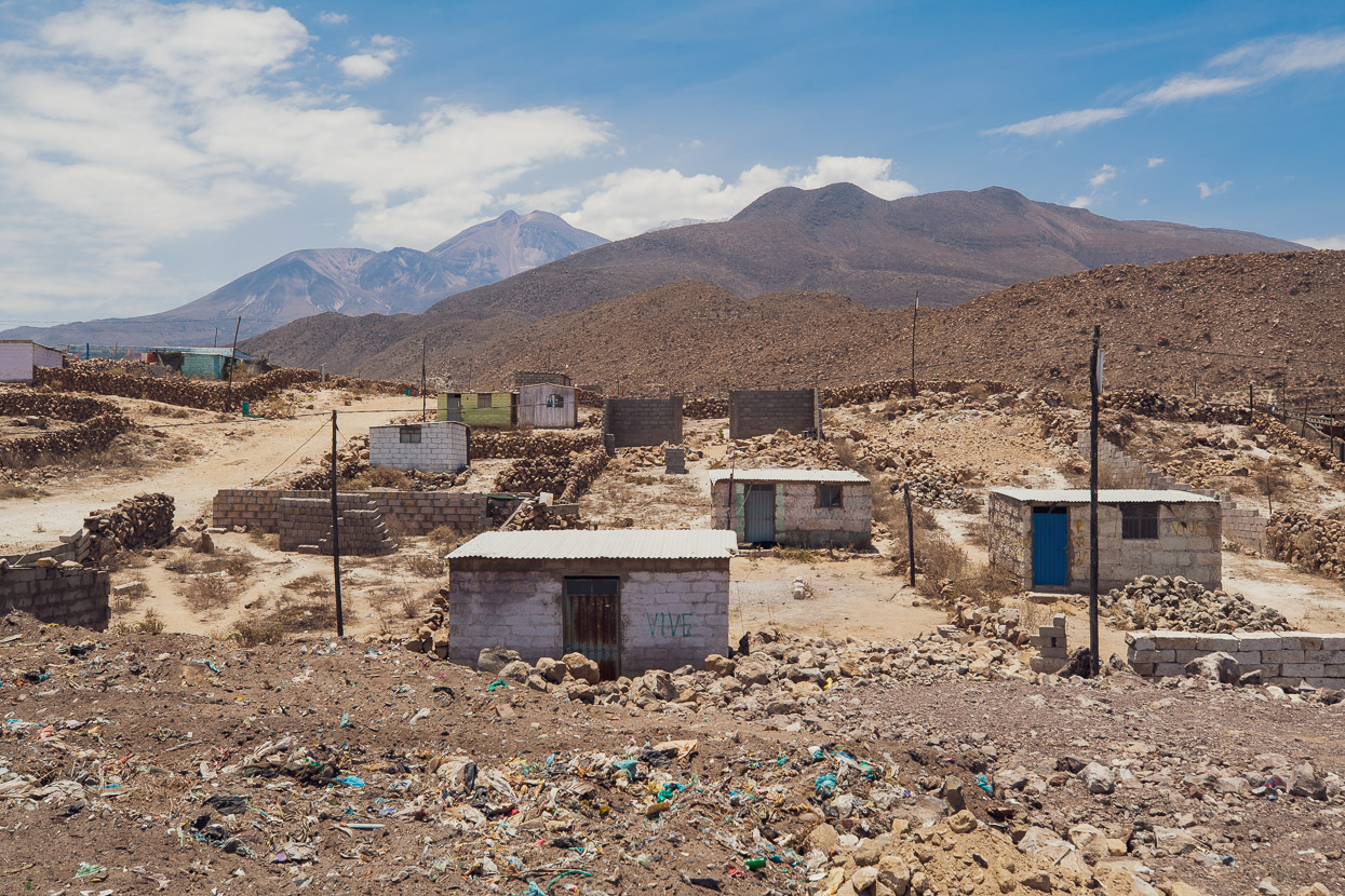
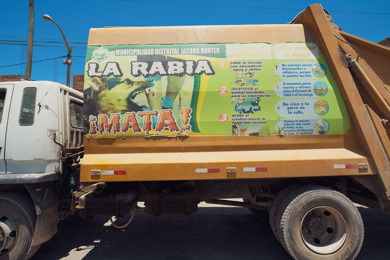
During the dry season, the route to the summit of Chachani is generally snow free, so the only gear we needed to hire in town was 40l packs and one hiking pole each. We were reasonably well acclimatised up to 5000m, but 6000m is a whole new level, so to best adjust and for a purer experience we decided to make the ascent under our own power right from the city, climbing 79km to Cañahuas (highway junction), 1800 metres higher, on the first day. This ride takes you through the bleak outskirts of the city past countless dwellings that lack any sort of services and then gradually climbs into the alpine grasslands above.
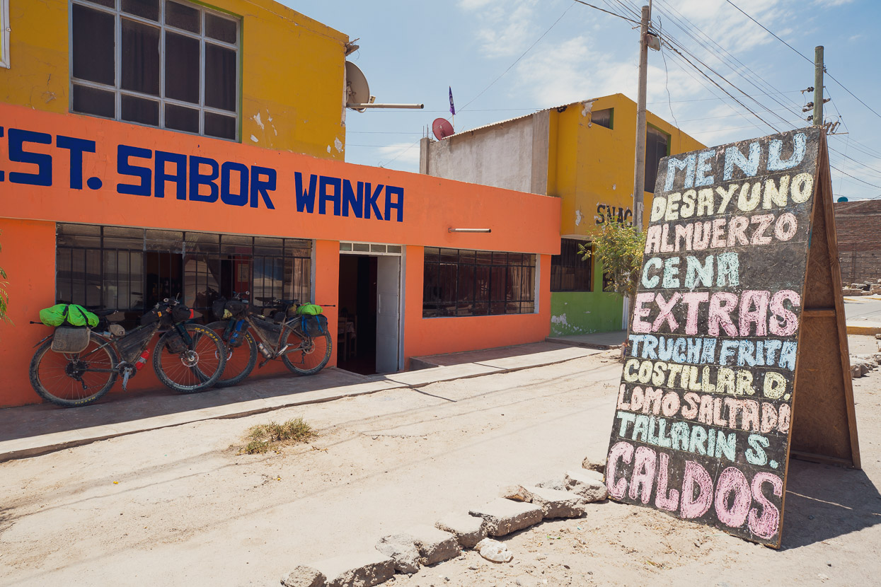
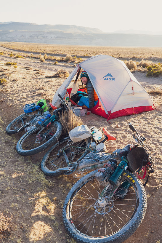
Elevation-wise, it’s a big jump from 2300m to Cañahuas at 4100m, but we could not be better acclimatised to that elevation so it wasn’t a problem. It was a long ride though and we arrived after dark. There are lots of small restaurants at this busy junction, so we ate a caldo de gallina, loaded up with water for the next 36 hours (15 litres between us – there is none on the mountain), and rode out into the pampa to camp for the night.
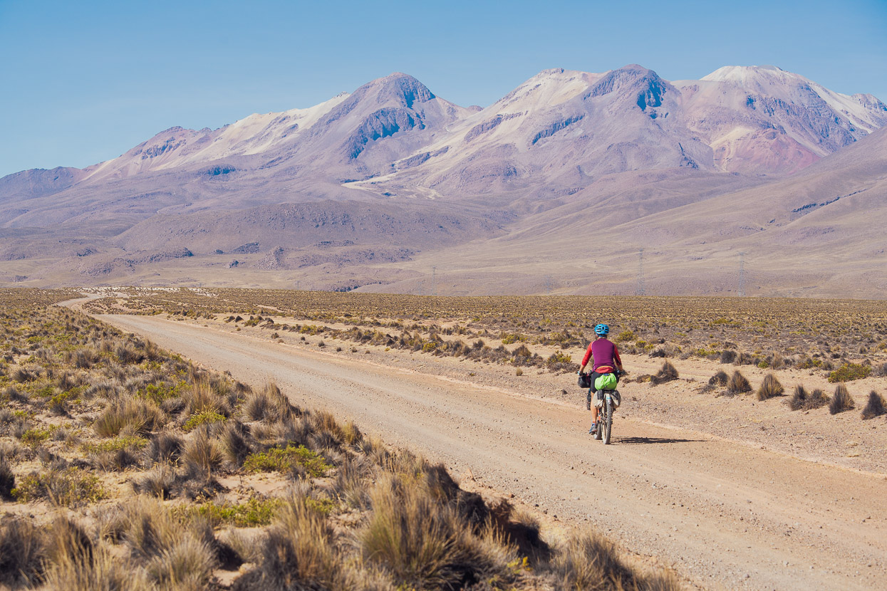
13 kilometres of gently rolling road followed in the morning, taking us closer to the complex massif of summits and eruption cones that is Chachani. Visible here are the three main peaks, from left: Angel (5840m), Fátima (5900m) and Chachani (6075m).
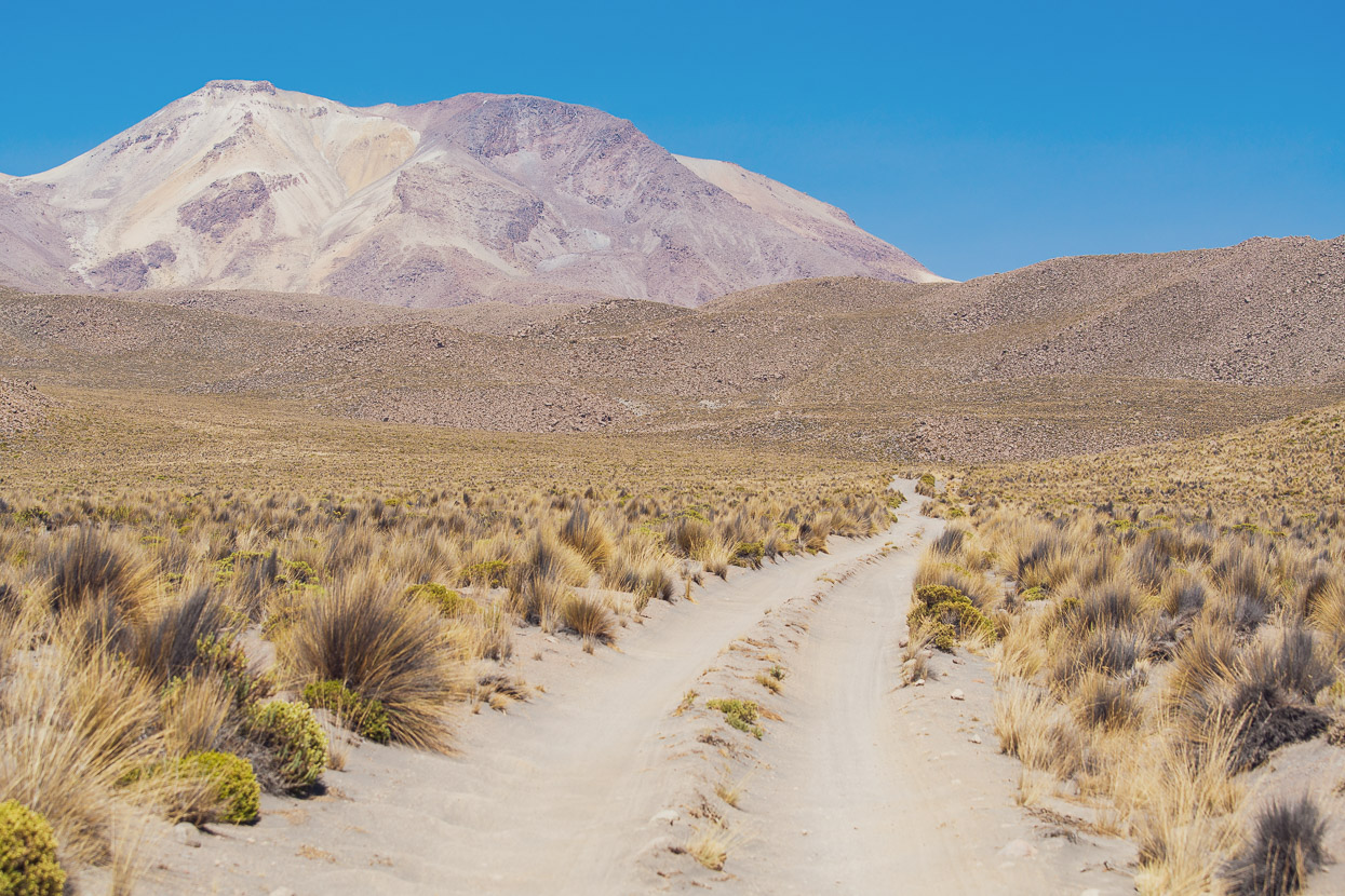
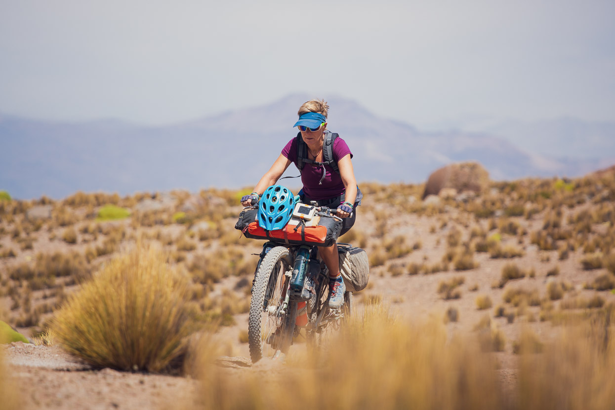
After 13km we turned off the good dirt road and onto a sandy double track that climbed around 800 vertical metres to where we stashed the bikes. The road is mostly ridable, but it’s hard work with the soft surface, altitude, and the weight of the water. Now and then it kicks up in steep sections that require pushing. We were both pretty tired from the long previous day, and actually found this day harder than the summit day.
The road goes right to a saddle at 5062m, but we stopped beside some small boulders just above the 4900m contour and stashed the bikes to continue on foot to basecamp.
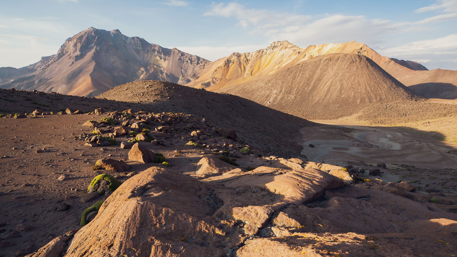
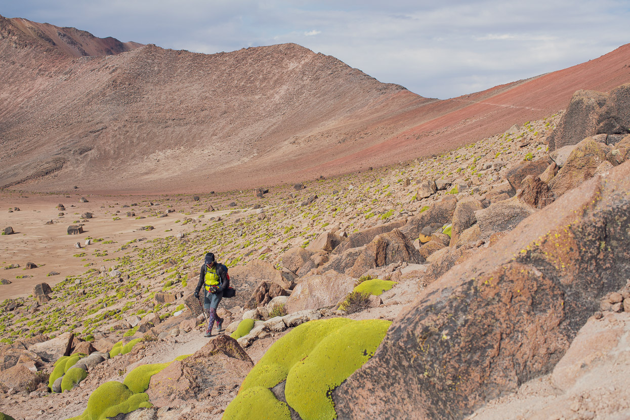
Looking back at the 5062m saddle as we walk the nearly 4 km final stretch to lower basecamp. The hard work was starting to feel worth it as we entered a colour-rich volcanic world of boulder fields, scree slopes and lava flows.
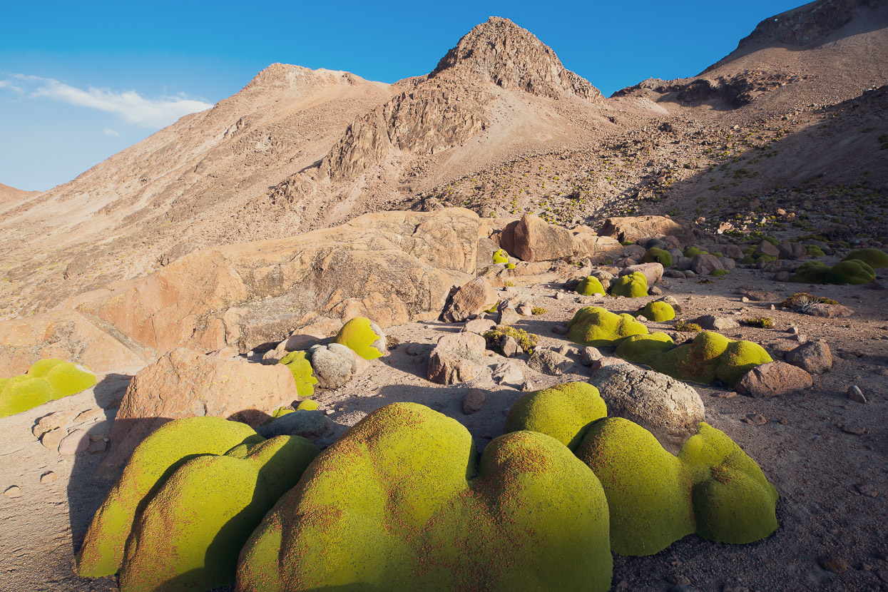
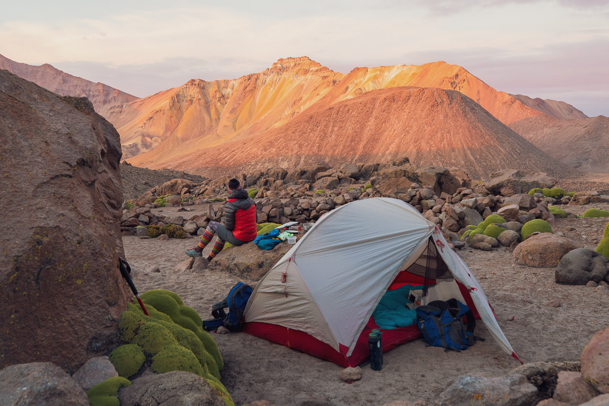
Lower basecamp is at 5080m, with the upper one just a little further on. For anyone following in our footsteps, Lower BC is the cosier and more sheltered of the two camps. It’s a really beautiful spot, surrounded in vivid green azorella and volcanic boulders. We’d arrived a couple of hours later than we’d hoped to, so after a quick wander for photos we cooked dinner and went straight to bed, snatching a brief 4 hours sleep before our 11.30pm wakeup – a real alpine start!
I was feeling less than ideal, with the first symptoms of AMS creeping in: an incessant headache and diminished appetite. We took a diamox each that night to guarantee a good (short) sleep, which we don’t normally take, but Anna and James had given us their left over stash. They definitely helped us sleep, but for me it was still an effort to force down a little bit of food and coffee before we left camp at 12.30am, and the headache was still there.
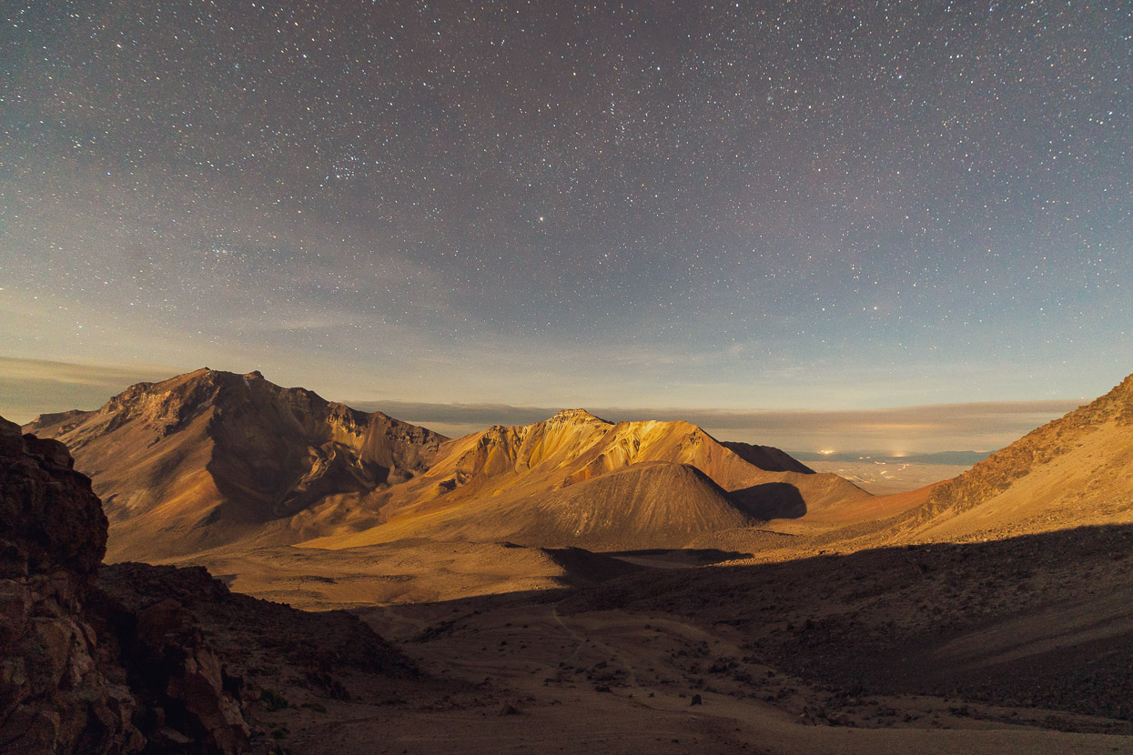
We left camp by moonlight, hardly needing our torches and followed the sandy trail as it zig zags its way steadily up for 1000 vertical metres. With the exercise I started to feel a bit better, which is quite common with AMS. Because your respiratory system slows when you rest, you take in even less oxygen from the already rarefied air, which can worsen symptoms. Getting up and about can bring more oxygen into your blood and bring a bit of relief. As we got higher it was Hana that felt the lack of oxygen more, and slowed down considerably, but she never got a headache. While I had a headache but actually felt pretty strong on the climb.
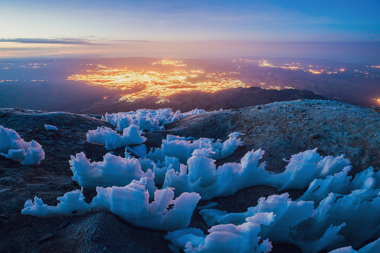
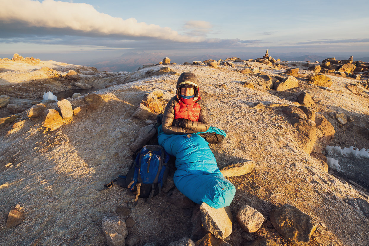
We were on the summit at 4.30am. It was -10C, perfectly still, and the pre-dawn was just starting to bring a beautiful blue tone to the light. I’d carried my tripod up and took a few shots, while Hana settled into the sleeping bag we’d carried up and watched the dawn unfold at 6075m. We were the only ones there. The lights in this shot are from Arequipa, 3700m lower.
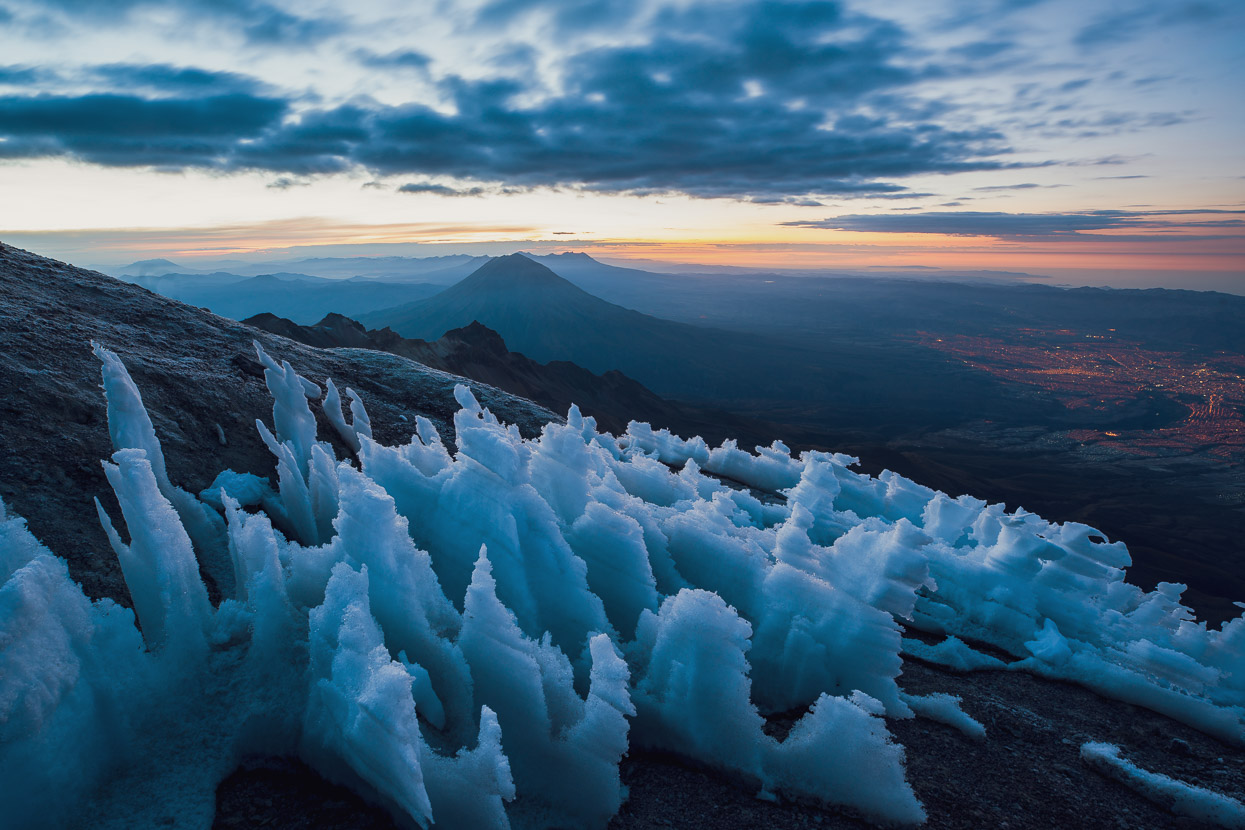
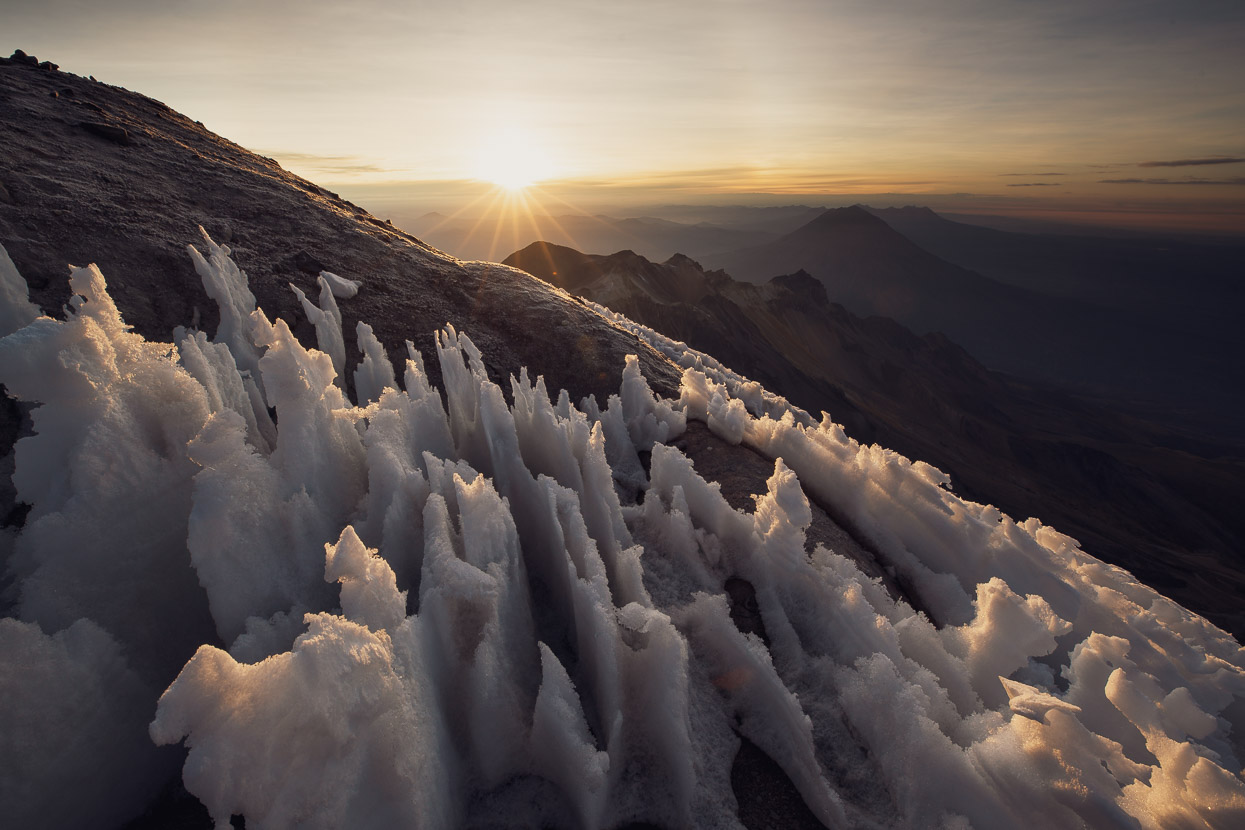
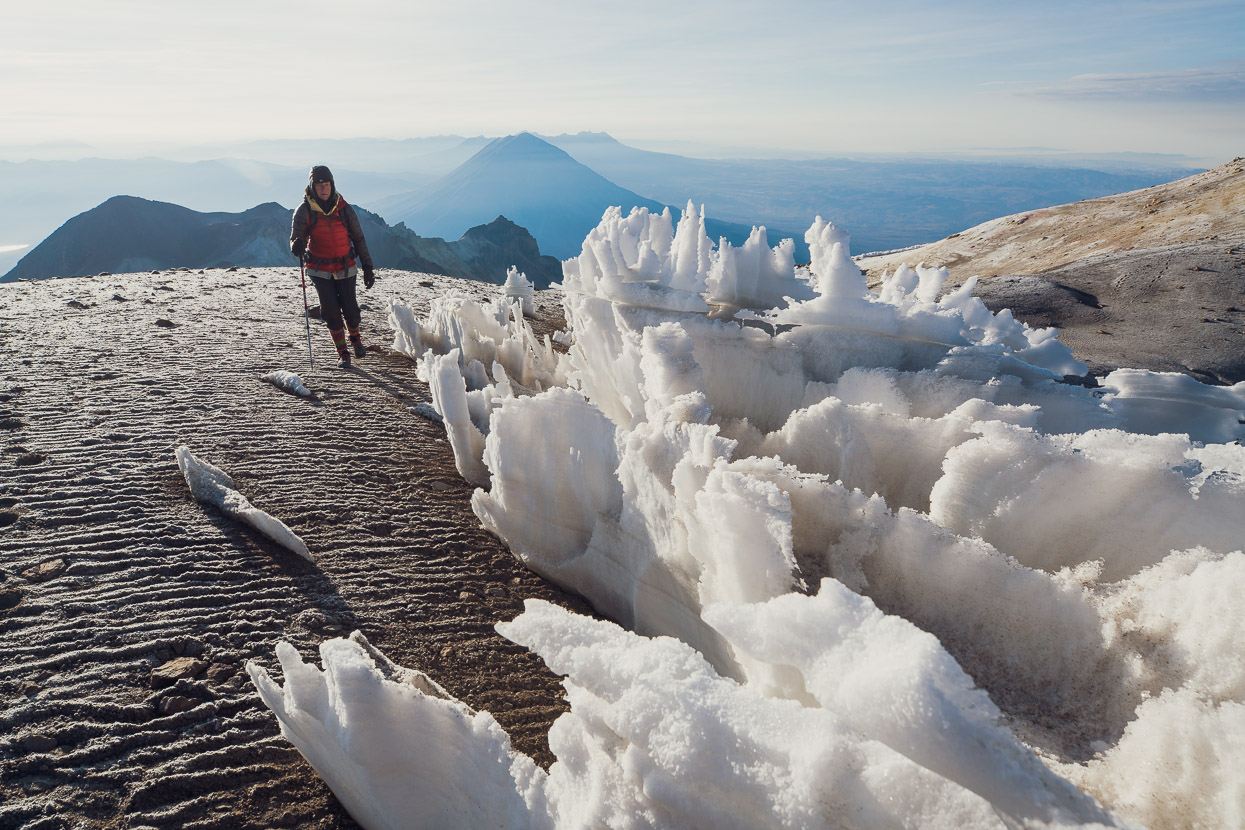
Looking south east over the summit penitentes towards Volcans Misti and Picchu Picchu – Arequipa to the right.
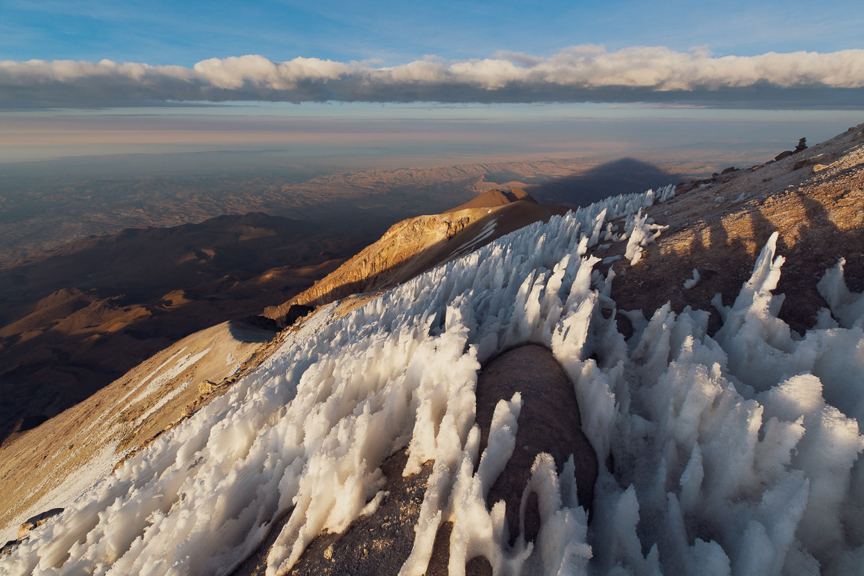
Penitentes is the name given to unique needle-like snow formations most commonly found in the Dry Andes and high tropical ranges. They can be several metres tall.
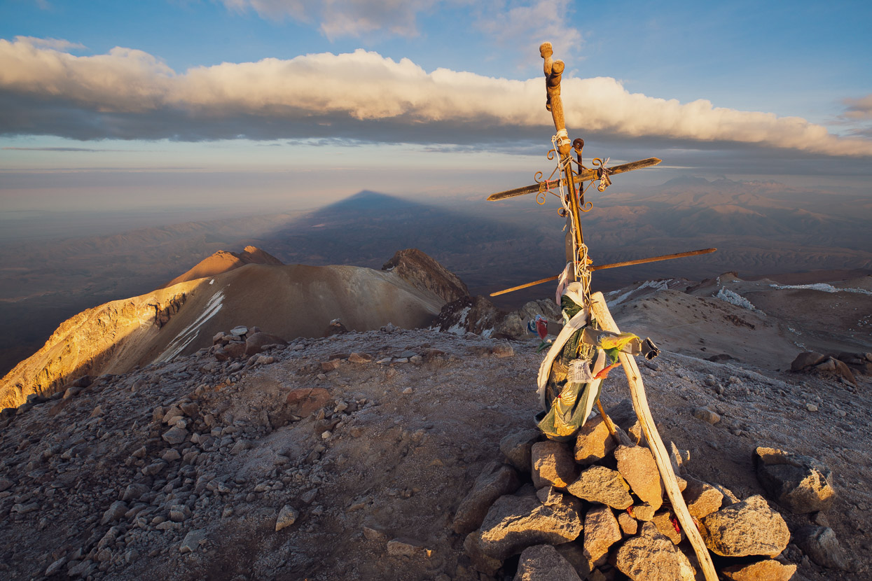
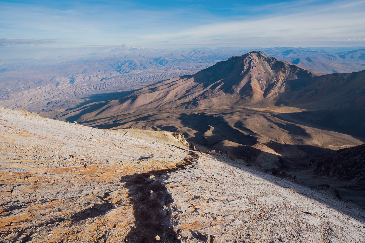
The mountain’s shadow falling across the barren landscape to the north west.
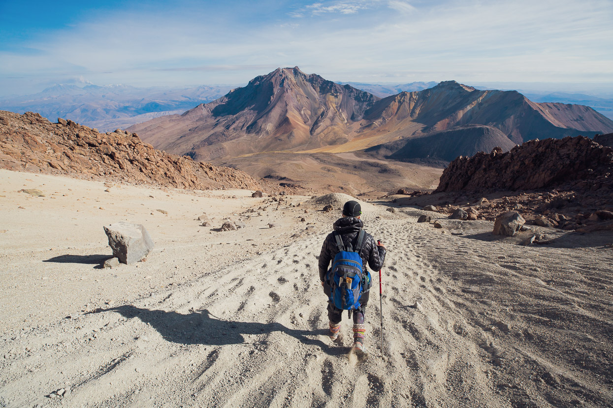
After about an hour and a half on the summit – finally warmed by the morning sun – we wandered around the lip of the summit crater and then started down.
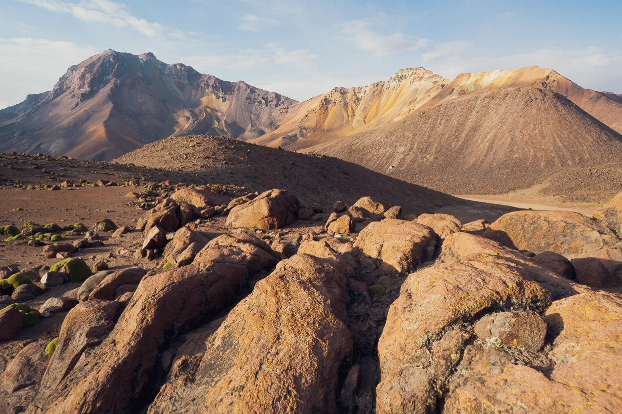
This view, looking north east, gives you a good sense of just how barren the landscape is here. There’s little water, no trees, and not much even in the way of ground cover except for tussock. There is very little habitation either. This is the region we spent our last few days crossing with Anna and James as we finished the Peru Divide/Cones & Canyons.
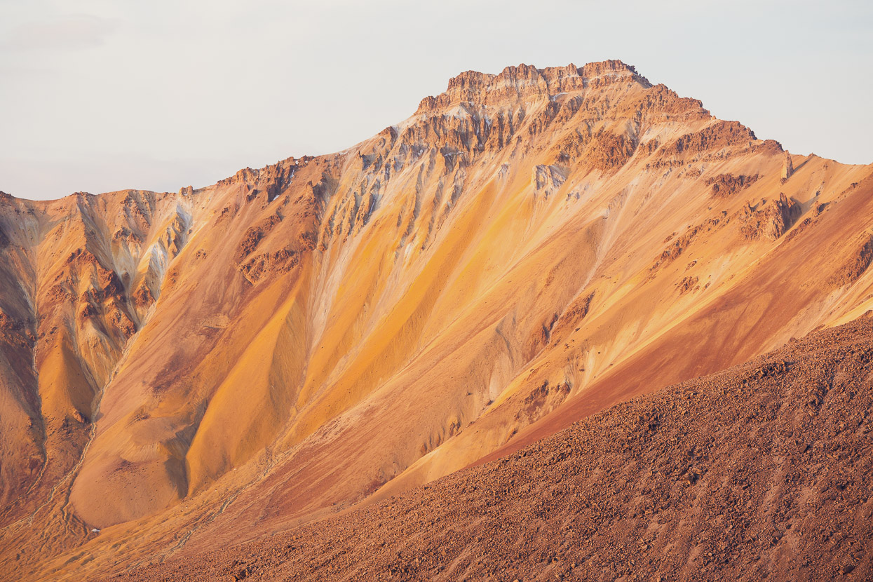
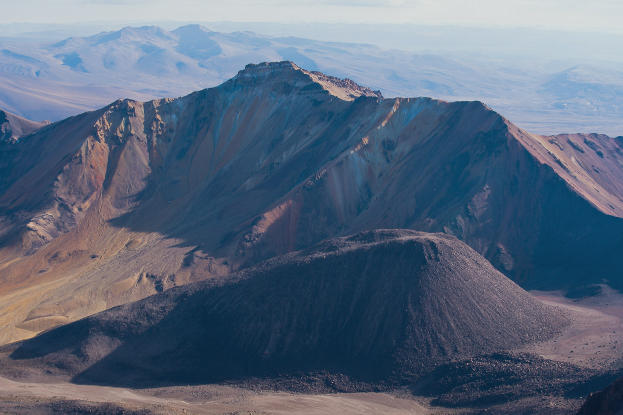
A more recent eruption cone in front of one of Chachani’s outlier peaks (I can’t find a name for it). The only people we saw was a single guided party who were still on their way up was we headed down. The mountain is commonly guided as it’s one of the easiest and most accessible 6000m peaks in the world. But the guiding companies in Arequipa are ruthless with their altitude preparation for clients. A two-day ascent is standard (drive to near BC, sleep, climb — even if you are not acclimatised), and some companies will even do a one day ascent, picking up their clients at midnight and driving them straight to 5000m for the climb). I can’t imagine how heinous most clients must feel on the mountain, and the failure rate must be huge. The four clients in the party we passed (with 2 guides) barely seemed aware of where they were and didn’t acknowledge us.
We were back at camp just after 7.30. We brewed up, ate some food (my appetite was back), packed up and began the long walk and ride back to Arequipa, completing our 360° of the mountain on the same dirt and paved route we’d followed at the end of the Cones & Canyons route. Scroll to the end of this post (or click here) to see the route we took.
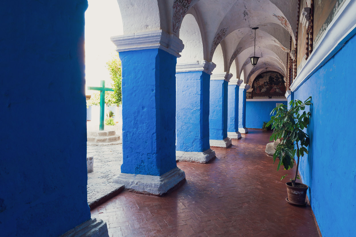
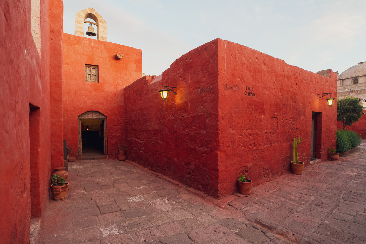
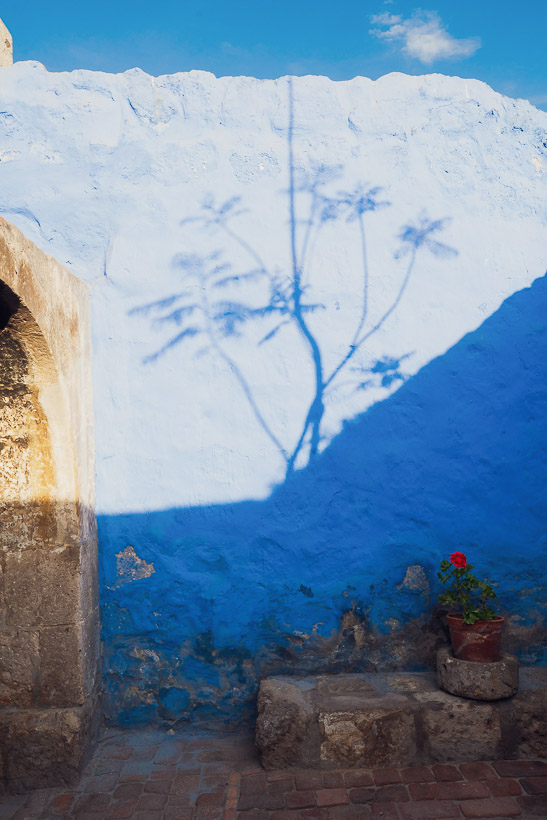
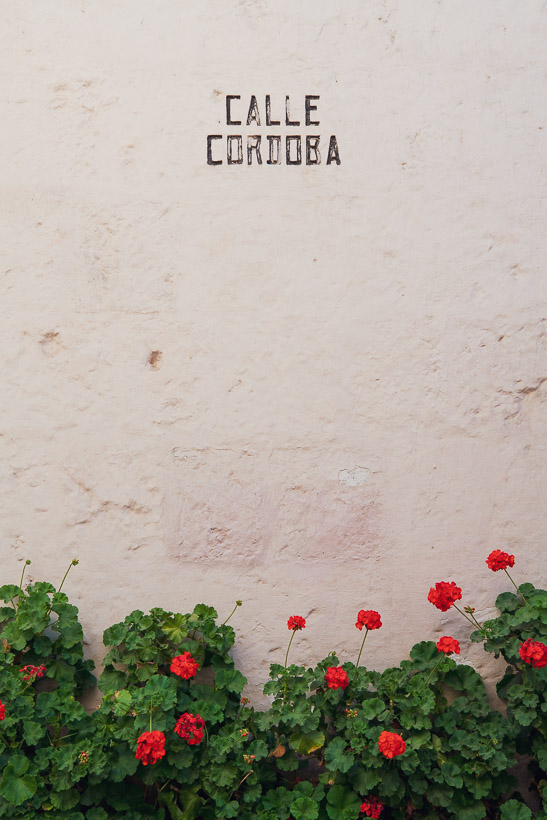
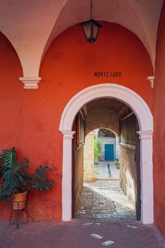
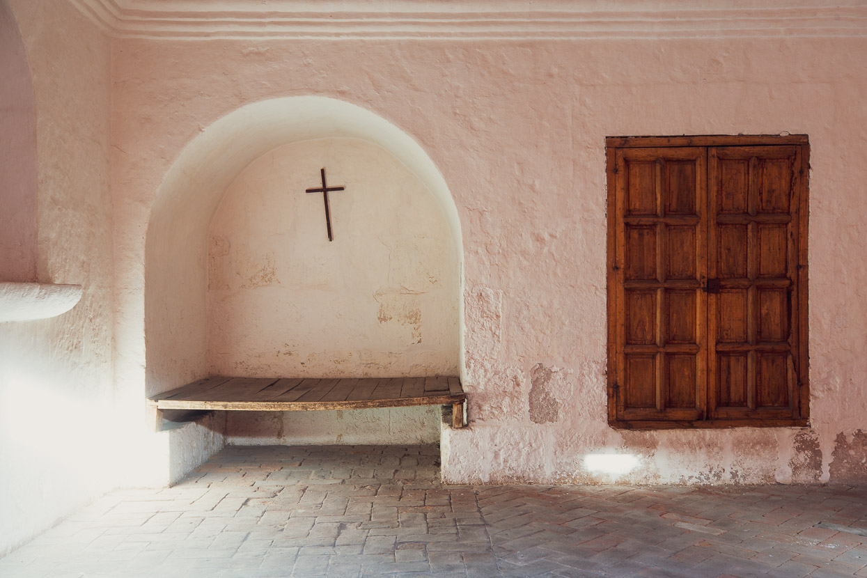
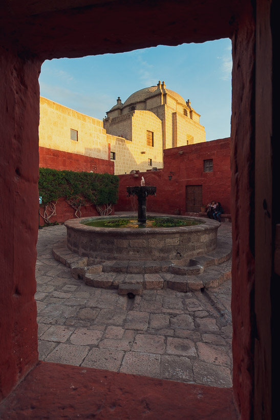
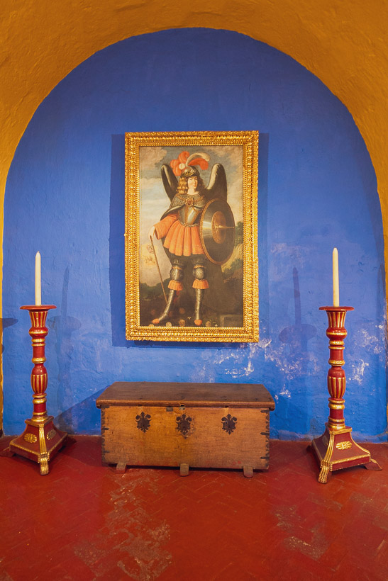
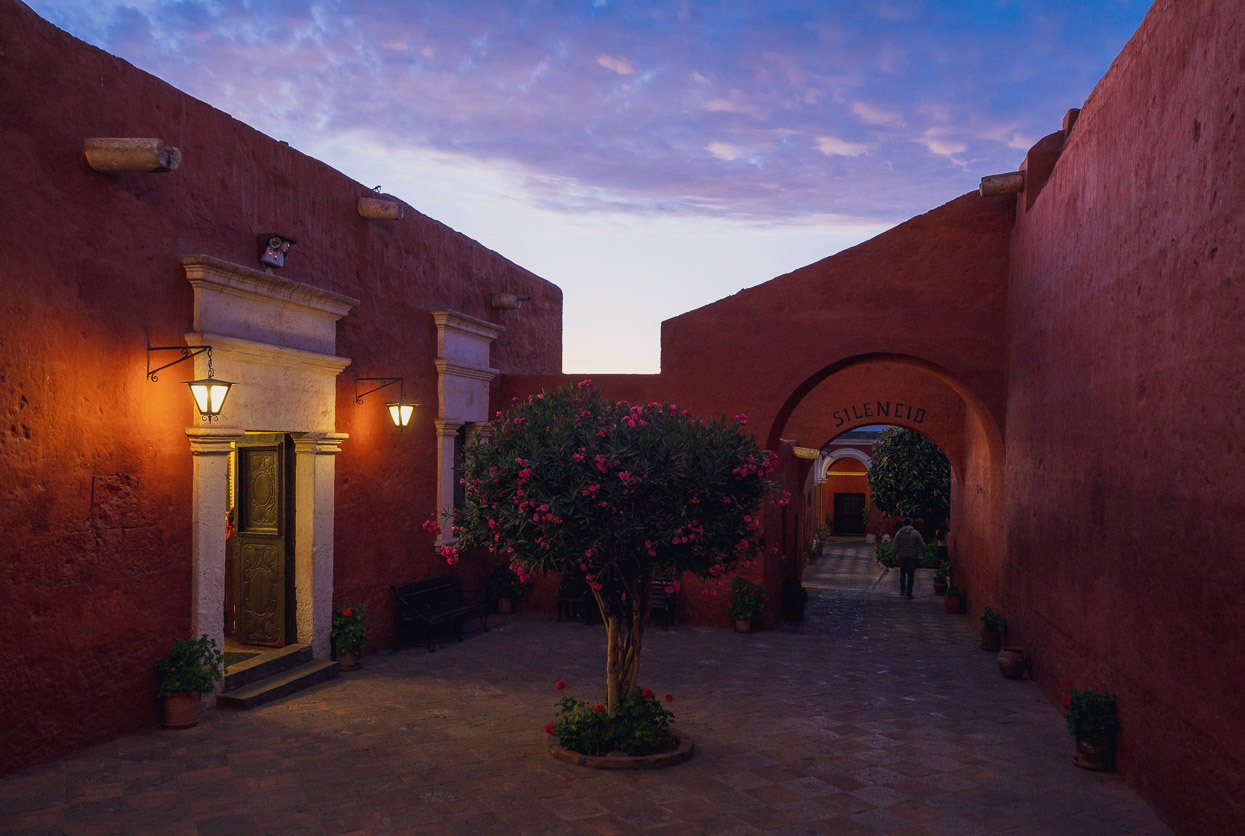
I thought I’d finish this post off with a few shots from the amazing Santa Catalina Monastery, which is one of the most important religious structures in Latin America and one Arequipa’s biggest tourist attractions.
Taking up the area of two to three city blocks, this monastery is like a city within a city. Once inside its thick stone walls you walk around a seemingly random labyrinth of corridors, rooms, chapels and alleyways, all linking together what was once its inhabitants universe.
The monastery was founded in 1580 by a rich widow, doña María de Guzmán. At its height, it housed approximately 450 people (about a third of them nuns and the rest servants) in a cloistered community. In the 1960s, it was struck twice by earthquakes, severely damaging the structures, and forcing the nuns to build new accommodation adjacent. These days there are only 20 nuns serving in the monastery, with a much less restriction towards their interaction with the outside world.
And as for us? Well it’s time to get back on the road really. So in the next day or two we’ll be leaving Arequipa for Lake Titicaca, via the remotest route we could find. We’ll report back when we get a chance. Thanks for reading!
Chachani Ascent Details
Day 1: Arequipa – Cañahuas junction, paved highway | 79km, 2091m elev. gain.
Day 2: Cañahuas junction – Lower BC, Chachani | 26.2km, 1198m elev. gain.
Day 3: Lower BC – Summit – Arequipa | 67.4km, 1191m elev. gain.
Do you enjoy our blog content? Find it useful? We love it when people shout us a beer or contribute to our ongoing expenses!
Creating content for this site – as much as we love it – is time consuming and adds to travel costs. Every little bit helps, and your contributions motivate us to work on more bicycle travel-related content. Up coming: Gear Reviews and GPX Tracks.
Thanks to Biomaxa, Revelate Designs, Kathmandu, Hope Technology and Pureflow for supporting Alaska to Argentina.



Thanks so much for your sharing !
Were your -10°c sleeping bag warm enough for the basecamp night ?
Can we easily rent hot sleeping bag in Arequipa ?
According to you, was is secure to leave the bikes during the day hike ?
Thanks 😉
Hi Thomas, yes the sleeping bags were fine. It was only slightly below zero at basecamp, but much colder on the summit. I do not know if you can rent sleeping bags in Arequipa, but probably. Yes, we were very comfortable with where we left the bikes. It’s high, remote and only guided climbing groups pass by there.