Picking up the Peru Divide.
We’d long anticipated joining the Peru Divide touring route, looking forward to it in the same way we had with the Great Divide, the Baja Divide and the Trans Ecuador route. While most of the richest moments of our tour have come from picking our own route and dealing with the uncertainty and adventure that comes with that, it’s also fun to switch off from the route finding decisions at times and follow someone else’s track.
That said, the Peru Divide is no highway and taking it on requires a good level of acclimatisation, a willingness to deal with spartan resupply and the endurance to tackle multiple 1000m+ climbs, some of which top out close to 5000m. We’ve loved it so far, for its diversity of landscape and its challenges (yes we’ve each had our off days on some of the passes). The expansive puna, home to occasional pockets of humanity, free roaming vicuña and farmed alpaca and llama, is a delight to tour through, as each day our surroundings change from snow capped mountains, to rolling brown pampa to stark, craggy peaks. There’s so many lakes we’ve lost count and the names of the passes have blurred already, but the characteristics of each of these hard won high points are firmly etched in our memories.
Although adventurous tourers have explored parts of Peru’s main divide and Central Cordillera for years, it was a UK couple, the Pikes, who pioneered and published a contiguous route during the wet season of 2014. This intrepid couple have thoroughly recorded their explorations on the website Andes by Bike, which has become a go-to for info for dirt road touring in the Andes, containing a wealth of info about routes, resupply and passes. One of the best sections (I’ll cover this in the next post) is also detailed on Bikepacking.com
For Peru through-riders the Peru Divide links neatly into a southern route Cones and Canyons (published by Cass Gilbert), allowing for a continuous mountain route from the Cordillera Blanca to Arequipa in the south of Peru.
This post covers our first few days on the Peru Divide, which we joined in Oyon after our bikepack through the Huayhuash.
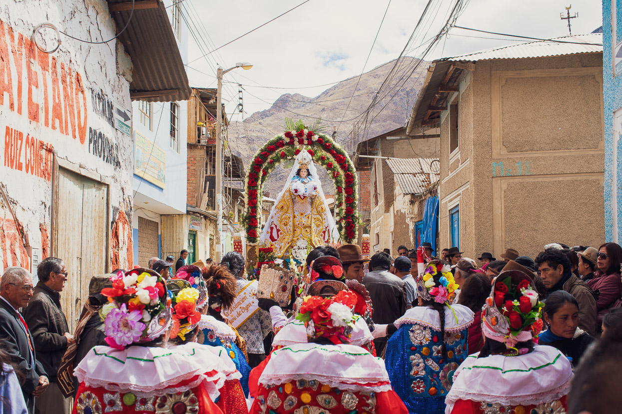
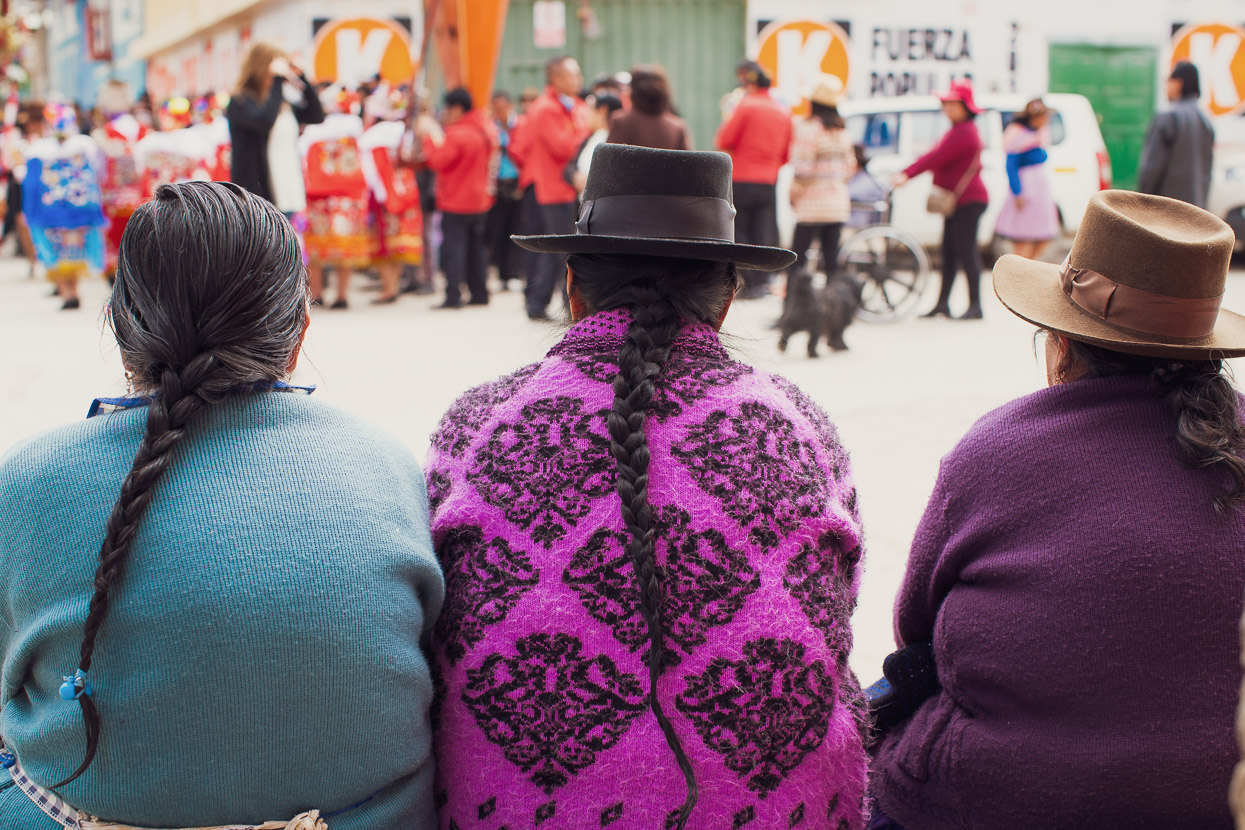
We were pretty exhausted when we arrived in Oyon, after a solid ride through the mountains from Huaraz via the Cordillera Huayhuash. The hard riding, the hike-a-bike and the high camps had worn us down. So we spent a day and a half in town, binge eating and catching up on things of an internet nature. Oyon is a pretty rugged little town of shabby buildings and mudbrick homes that mostly serves the local mining industry. The streets stank of urine and it wasn’t the friendliest town we’ve hung out in in Latin America, but the mood in town was generally buoyant thanks to a several-day-long annual fiesta. Such fiestas are a big deal in Peru and usually span a few days. Typically there’s lots of drinking (only by the men), fireworks, dancing, brass bands and rock bands. Usually there are traditional processions and rituals too, some of which are a complete mystery to us.
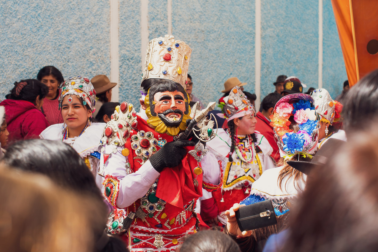
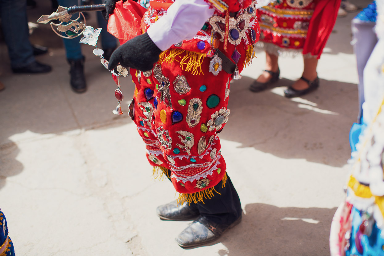
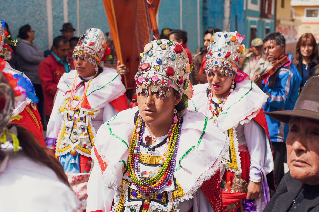
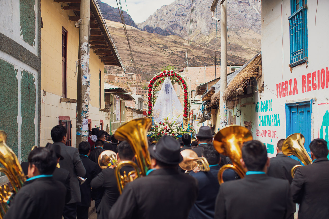
The photos here picture a procession that ‘celebrates’ the arrival of the Spanish and the eventual amalgamation of cultures – quite a common theme throughout Latin America from what we have seen in Central America also. To the steady beat of a brass band this troupe moved very slowly around the town’s streets. We spoke to a couple of previously-local women here (now living in Florida) who fly out every year to their home town for the fiesta.
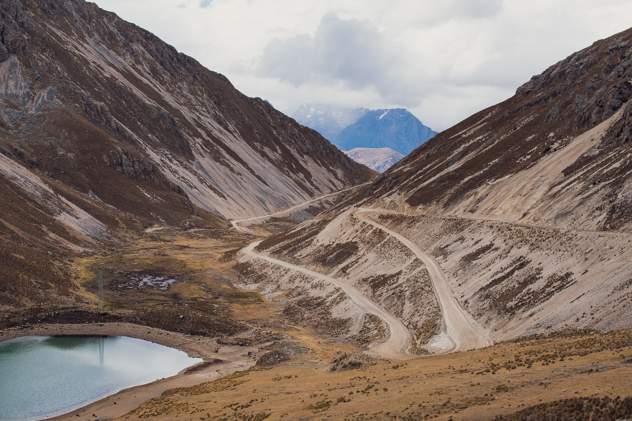
There’s no preamble as the Peru Divide leaves Oyon – it’s straight into the high mountains again via a 4900m pass.
One of those days where you climb for several hours, cross a pass, then descend for a couple more and that’s it. This route followed pretty good roads due to the significant mining operation deep in the mountains. Note that currently it’s better to take the western of the two roads that cross through the mine rather than the GPX route. Turn right at the junction at 4550m and rejoin the original route at a junction at the 4630m contour. We were allowed through a gated checkpoint just below the pass with no problem.
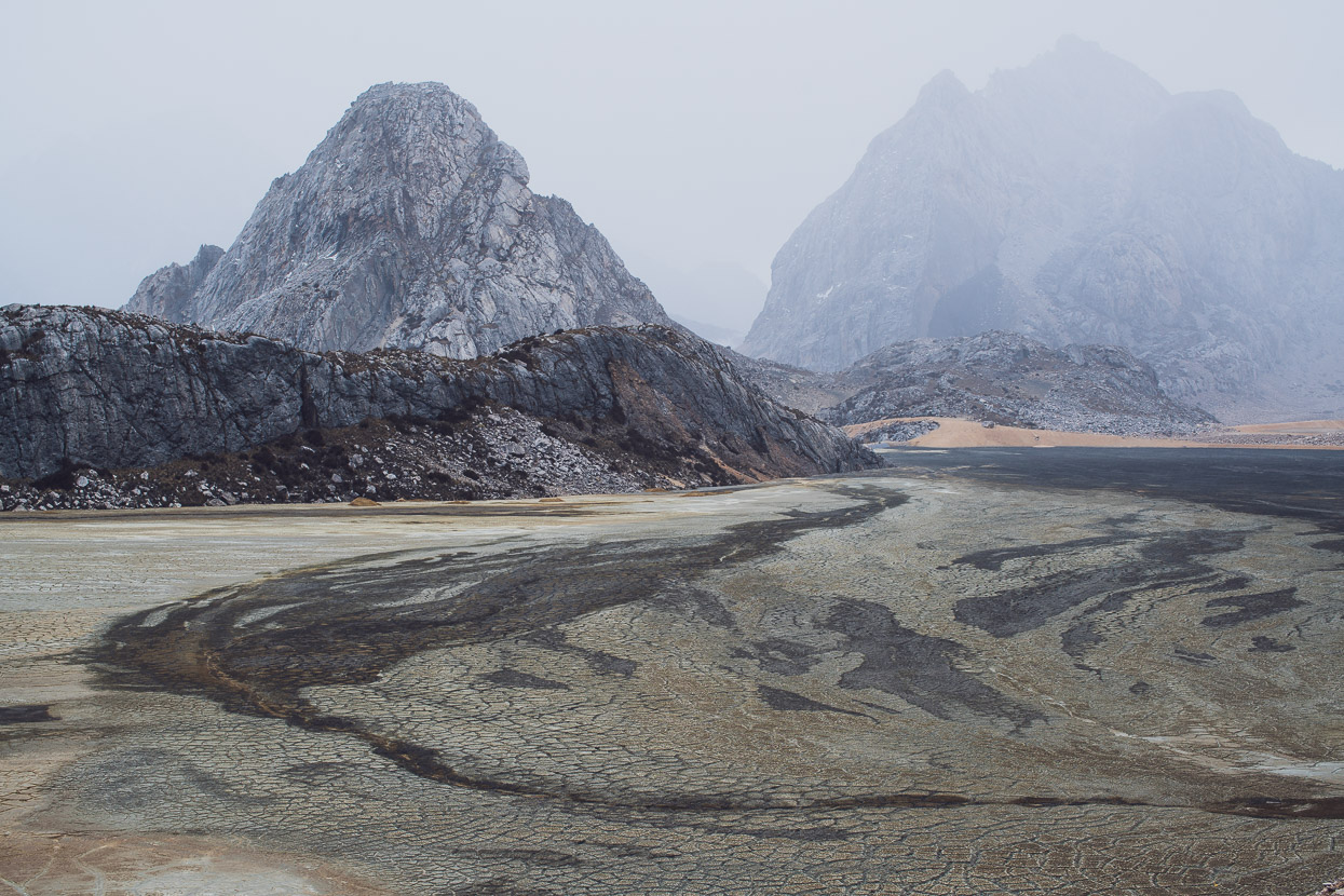
Riding in Peru we’ve started to get used to riding through what seems like pristine country one minute only to round a corner and find a mountainside being taken apart. Mining here seems to know no bounds when it comes to preserving nature and destruction is rampant. This basin (settling pond?) looked to be contaminated by some mining process.
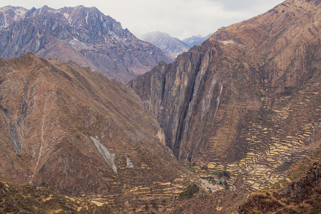
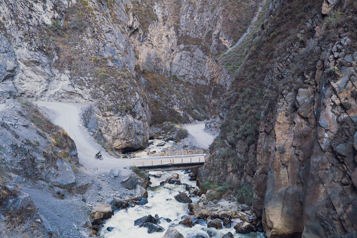
We dropped towards the Rio Checras Canyon and it soon turned into some pretty spectacular country.
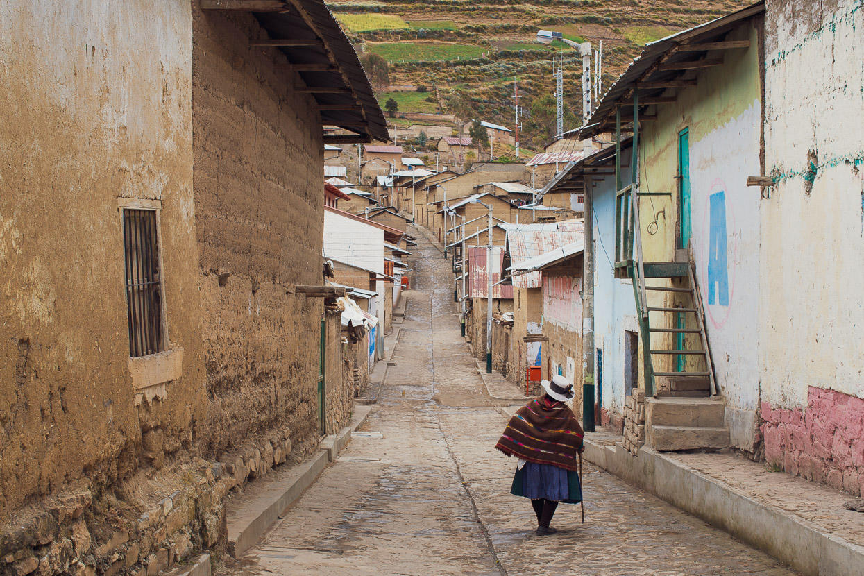
Rapaz, like a lot of small Peruvian villages seemed virtually deserted, with only a few people on the streets and nothing open except a couple of small tiendas. We rode on, lower into the canyon, heading for the termales (hotpools) at Huancahuasi. This was an ideal spot to spend the night – the pools are cheap and hot, and there’s a small restaurant on the southern side of the road. The owners even let us bivi inside!
As a double bonus we had the company of James (left below), Paul (right) and James’ wife Kirsty. We’d caught these guys on the climb up the main pass and they also spent the night at the termales. It was great to have some cyclist company, especially considering how few cyclists we see. Bravely these guys are also following the Peru Divide south, but with heavier loads than we are game to carry. It was actually the second time we’d met Paul, having first seem him on the road in Ecuador.
With a huge day ahead of us we left early the next morning, enjoying the spectacular canyon as we followed it downstream.
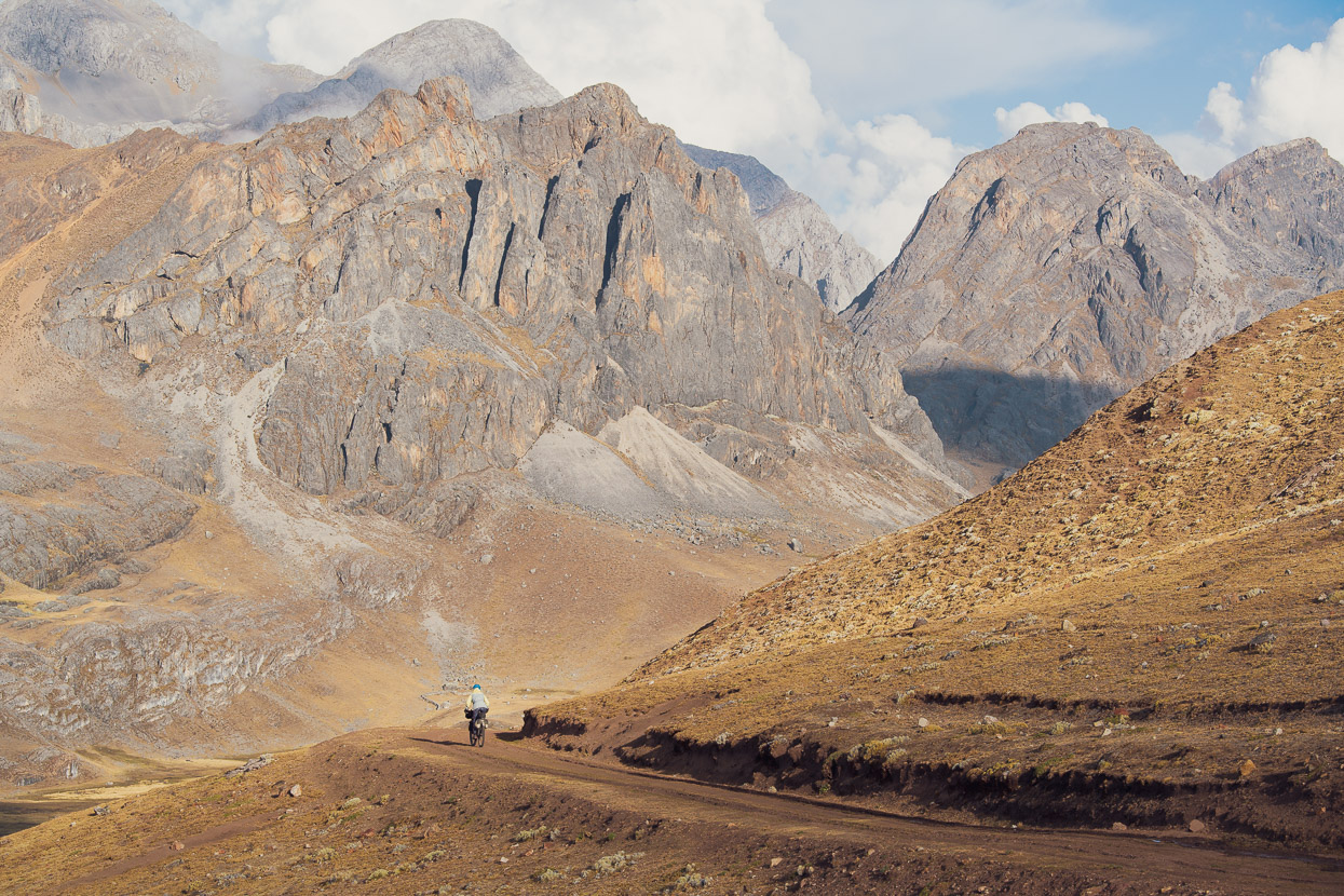
And then the road turned left at the village of Picoy and headed up, and up and up: from 3000m to 4800m. The road has some steep pitches soon after Parquin but then relaxes to a more sensible gradient for most of the rest. It’s a real endurance climb though with a reputation for chewing up cyclists and spitting them back out.
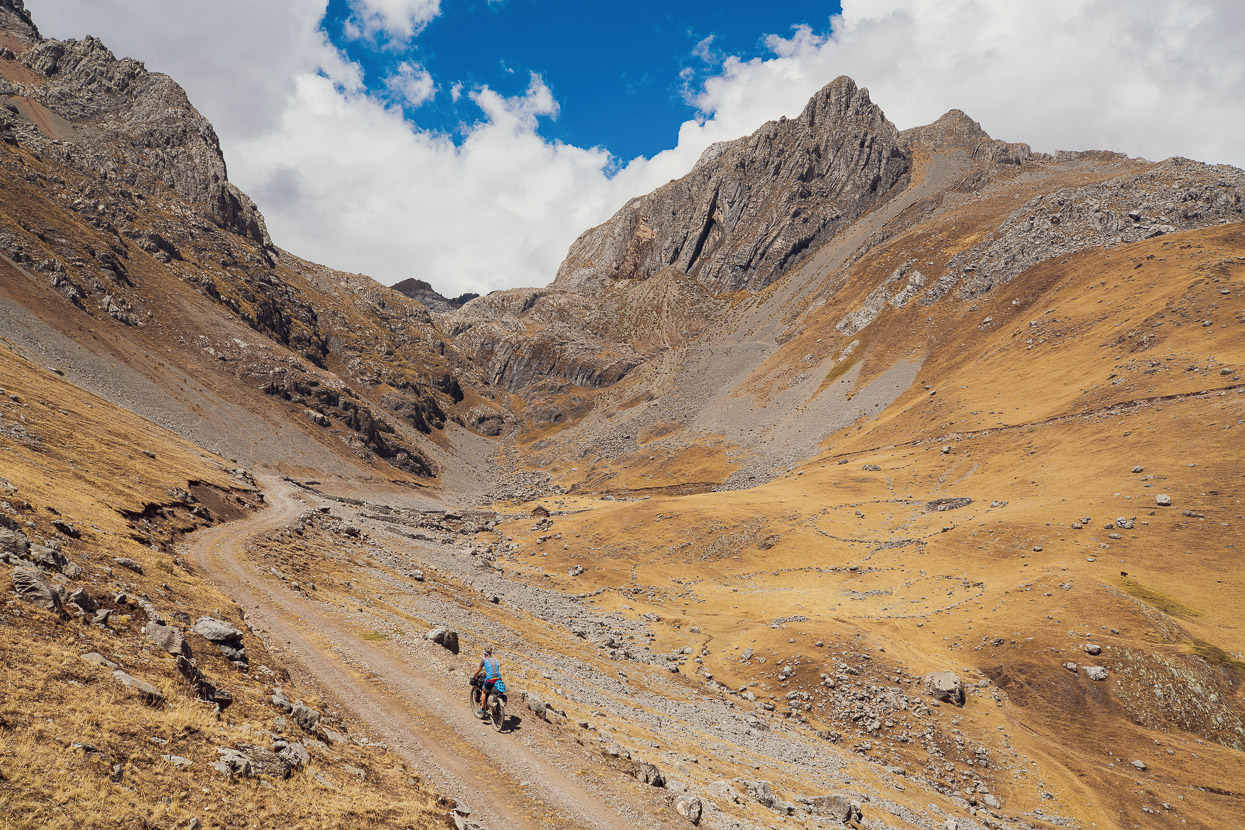
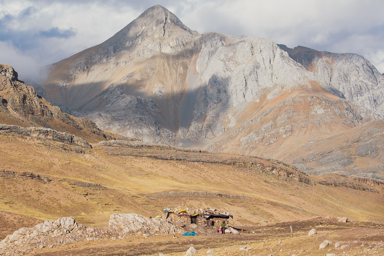
About mid way the landscape starts to crank up the scenery with rocky peaks, boulder fields, isolated shepherd’s dwellings and the ubiquitous dry stone walls.
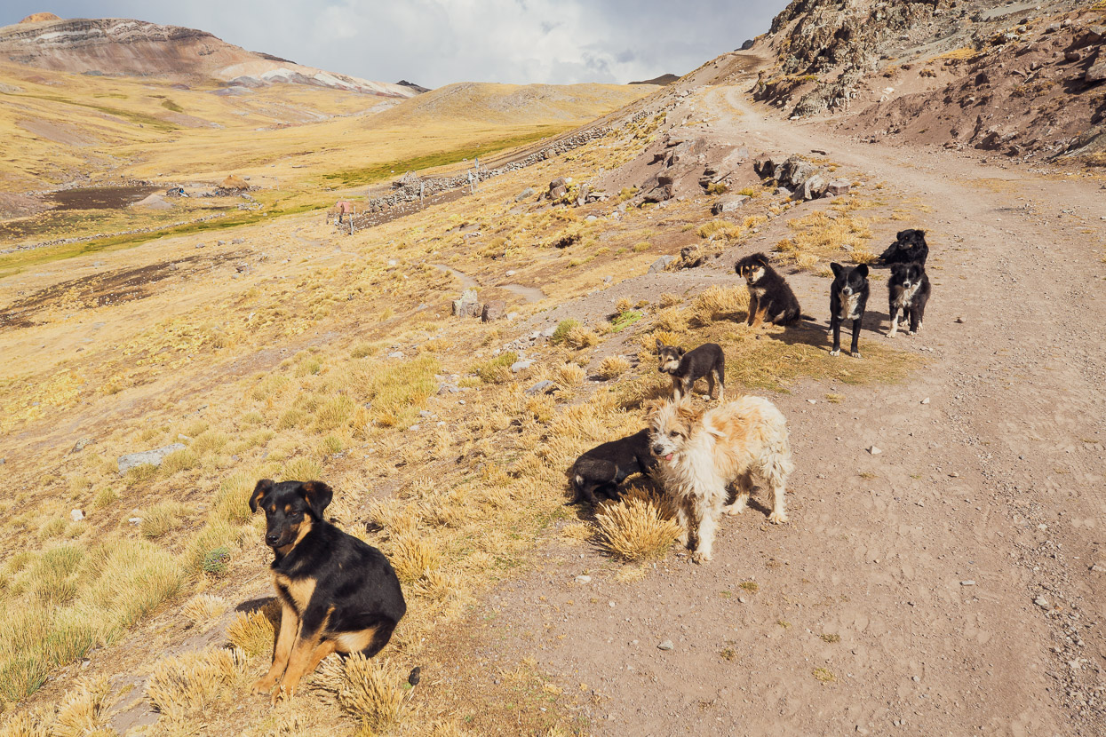
A couple of kilometres from the top, on dying legs, we were met by a welcoming committee of 10 dogs. All enthusiastically wagging their tails and sniffing around our bikes.
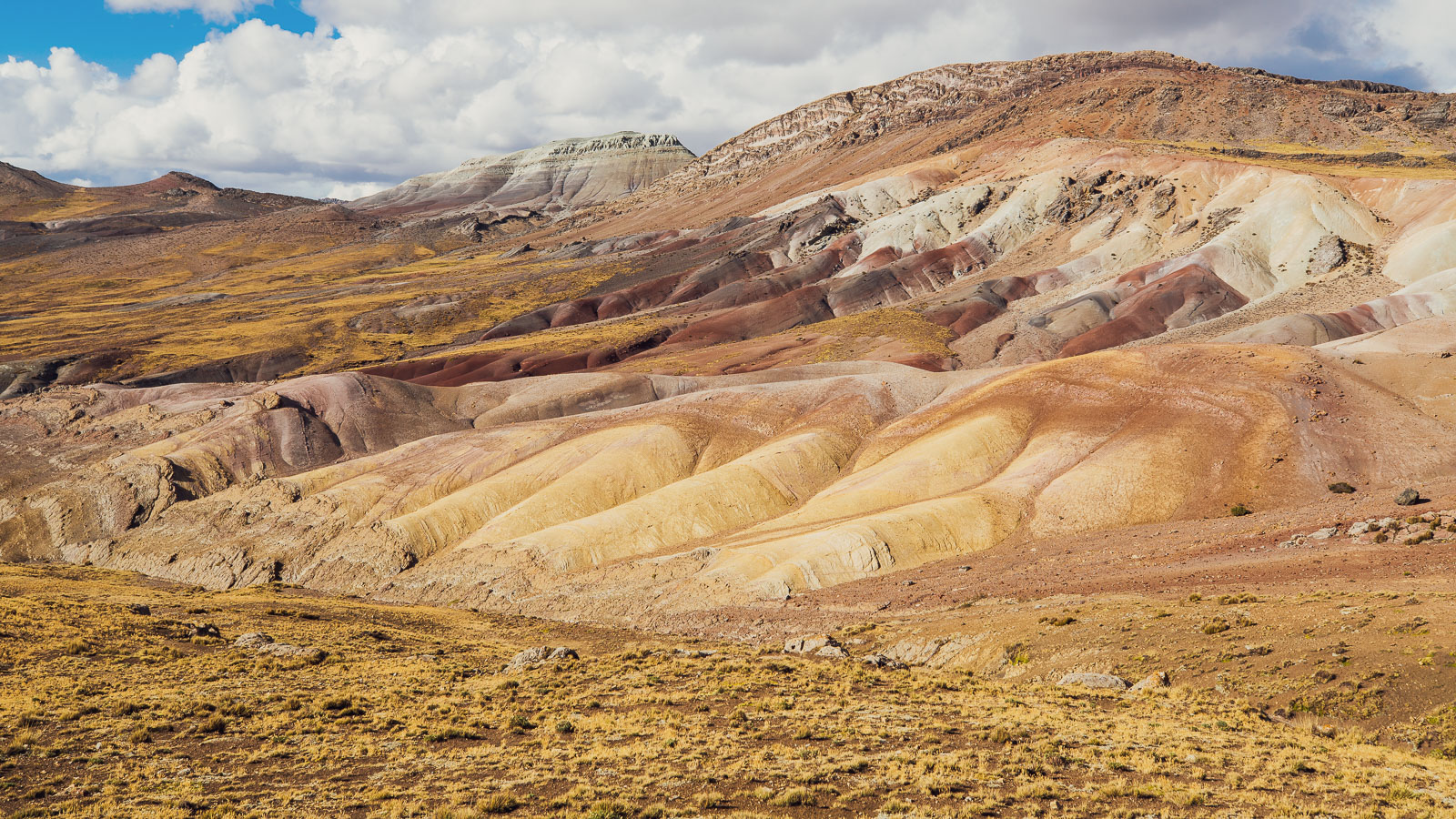
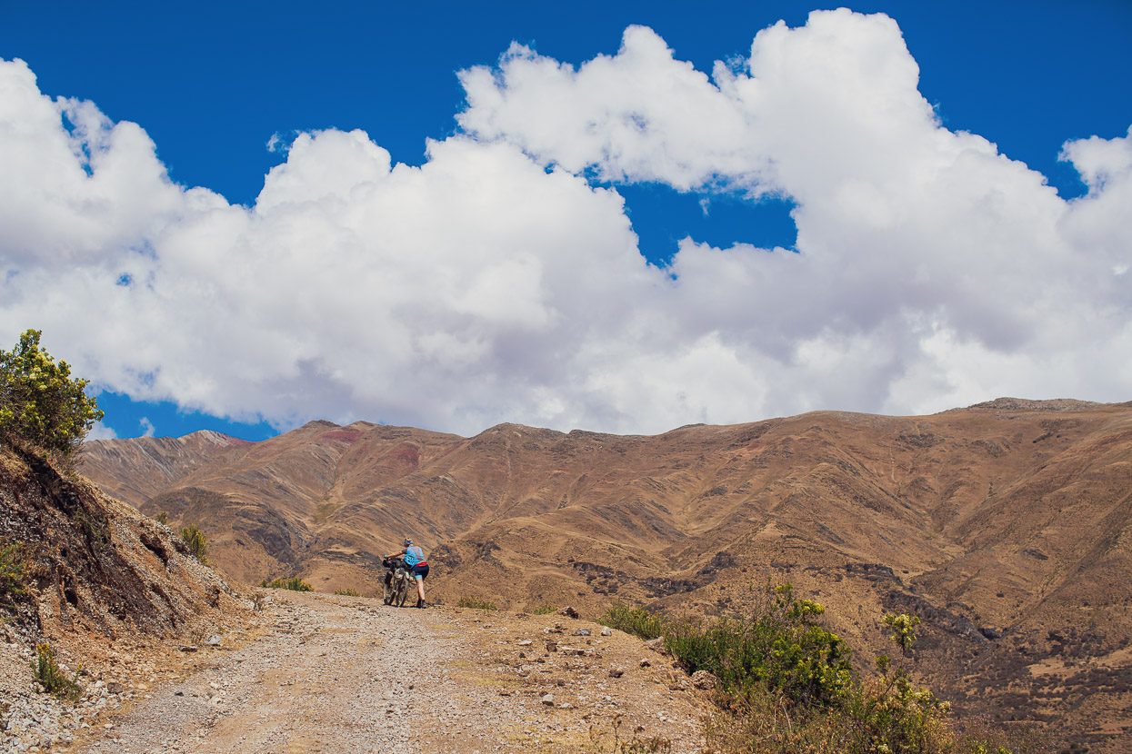
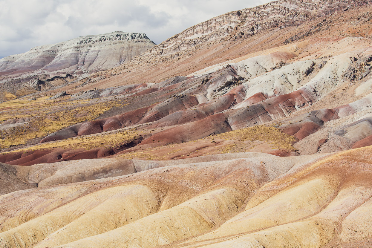
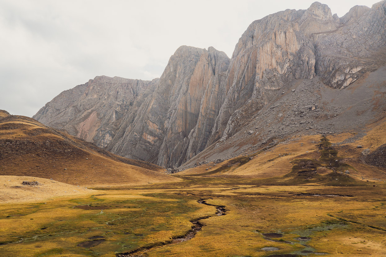
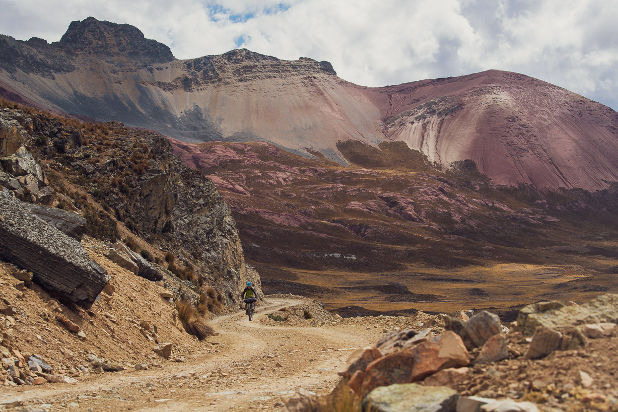
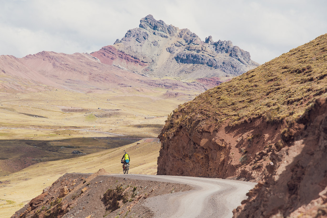
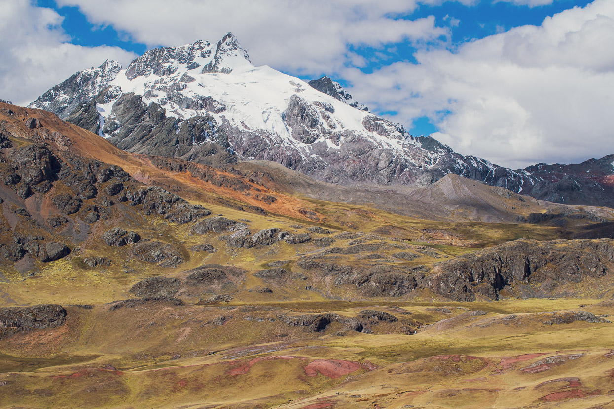
The landscape at the top of the pass is stunning; an ageless, wind and water sculpted place of colourful mineral bands and wide open pampa.
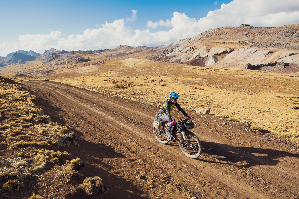
A joy to ride through, especially with the big climb behind us.
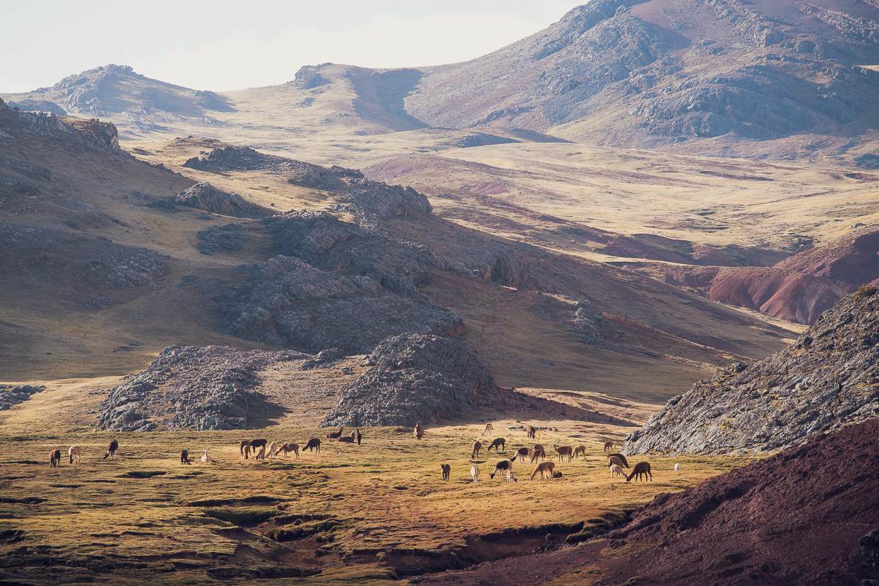
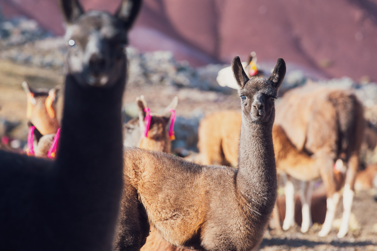
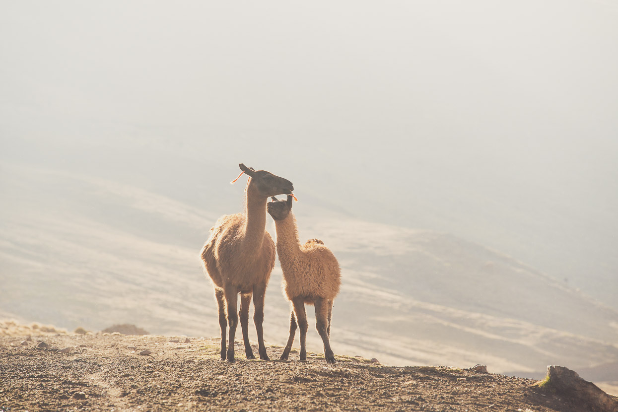
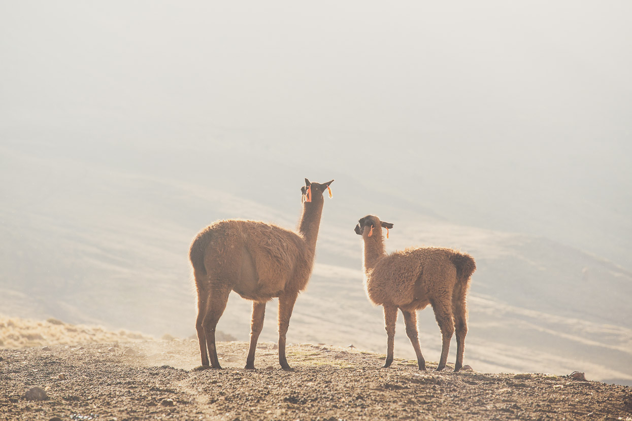
After descending for a short time we reached this single campesino’s home. They were shy, but it looked as if a family lived there and in their care were hundreds of llamas, all hanging out in the afternoon sunshine.
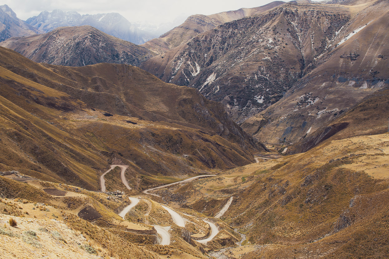
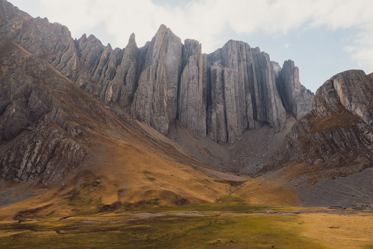
The reward for the climb got better and better as we dropped down further through an amazing mountainscape.
The geologist and rock climber in me was awestruck. These formations are hundreds of metres high.
It was a hard call to pass this landscape by and not camp here, but after a hard climb and high pass we wanted to sleep low for better recovery, so we dropped down, switchback after switchback, until we reached Vicaycocha, which is a short detour from the Peru Divide route.
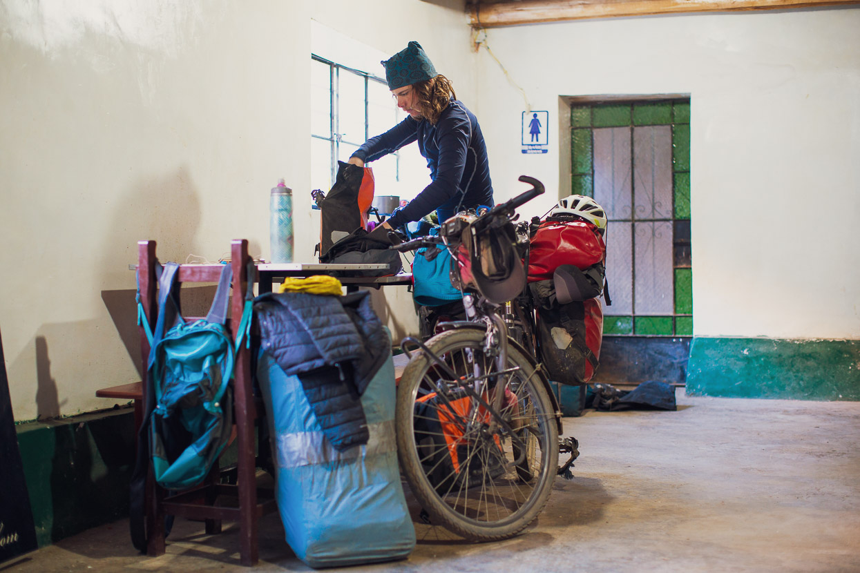
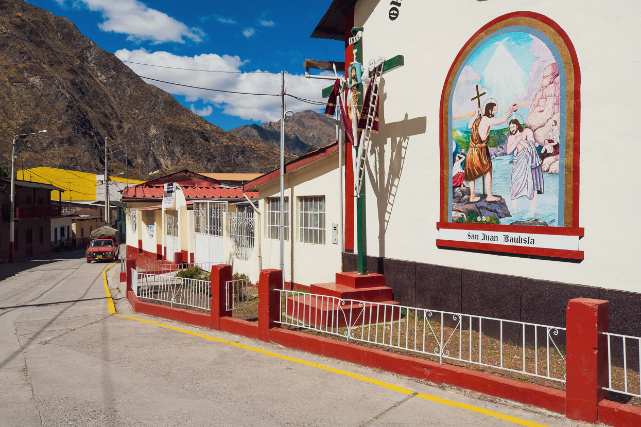
It’s a shabby, windy town. And at the first hospedaje we were shown there was no bathroom. When we asked where to go to the toilet, the woman just pointed to the alleyway around the corner! We persevered and found another place, that had a passable room, but no running water. One of those times when you wish you’d just camped. But we found a decent feed downstairs.
Rather than backtrack to rejoin the route, we read that another rider had headed down valley from town and then turned left after the first bridge. We followed suit, taking a long gravel road climb east up to Laguna Yanahuin. This road’s not shown on OSM or Google Maps, but it’s a good way to go if you want to sleep or resupply in Vicaycocha.
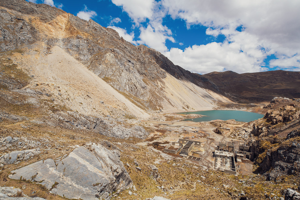
Passing the small Laguna Yanawayin just before the big lake we wondered what the story with the abandoned mine and ruined buildings was. A look at the wikipedia notes in OsmAnd (I love that feature of this app) revealed that there had been a massive spontaneous rockslide here in 1971, which inundated the small lake, creating a wave that destroyed the buildings, flooded the mine pits and killed between 200 and 600 miners. The rockfall source can be seem top left in the photo.
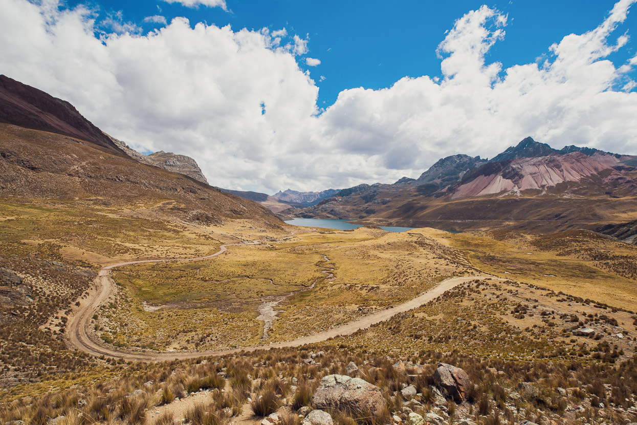
With that morbid story in the back of our minds we rode on, past the main lake on perfect, deserted, back roads.
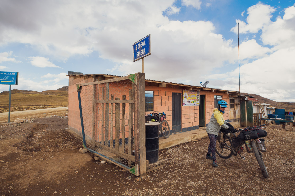
After a time we joined a slightly busier road (i.e. two cars per hour instead of one car per two hours) and stopped at a small home which doubles as farmyard and truck stop. It was the only shop we’d seen all day. After a feed of pan y huevo (egg buns) and some coffee we hit the road again to get a few more miles before dark.
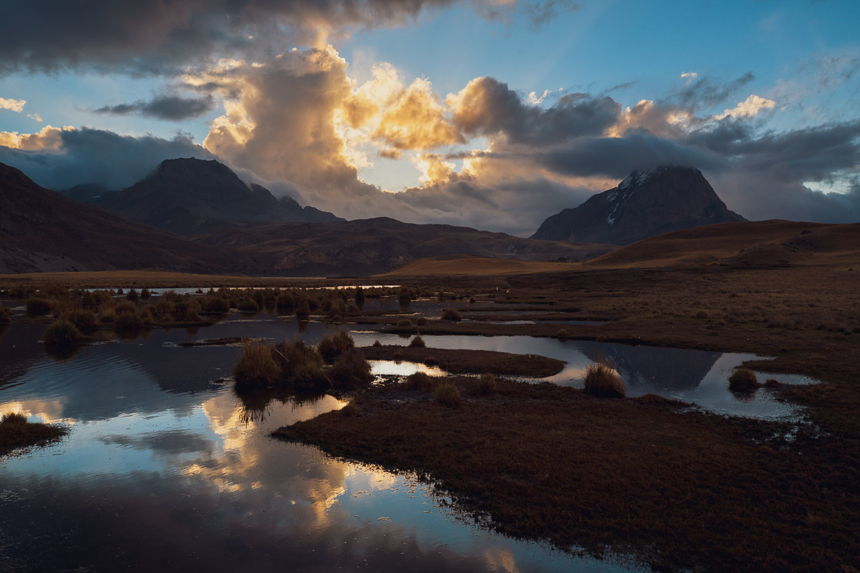
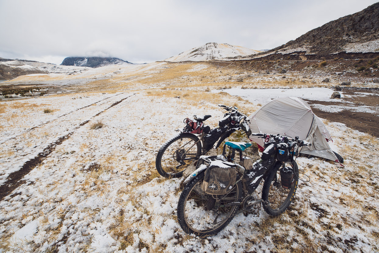
We camped for the night at Laguna Patahuay, just a few kilometres outside Yantac. As has started to become the norm in the late afternoon/evening at high elevation now a small snowstorm started not long after dark. It’s quite nice being cosy in the tent, with the stove steaming away listening to the sound of the snow and hail drumming on the fly.
Dealing with a frozen tent in the morning always means cold fingers though, as we’re usually up and packing before the sun reaches us.
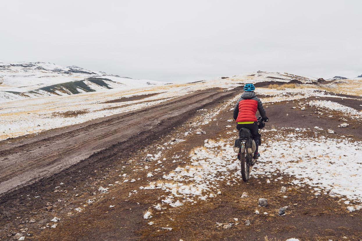
The road onto Yantac was in a sorry state, with sticky mud clogging our wheels and drivetrains, so we opted for the pampa either side of the road until it dried out a little.
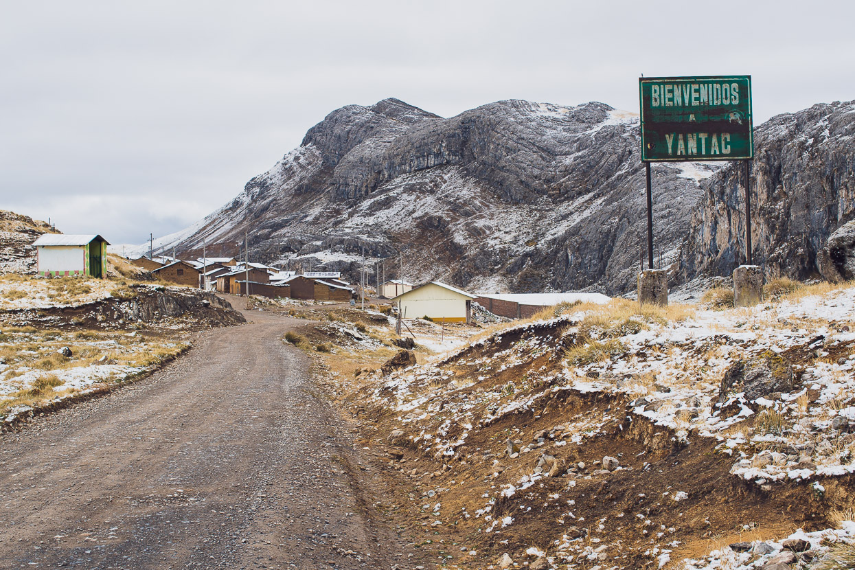
The sun never did come that morning and it was still hovering just below freezing as we rolled into Yantac.
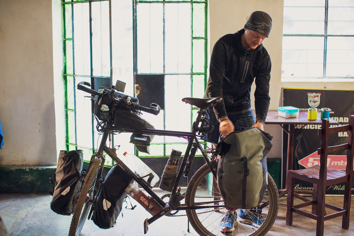
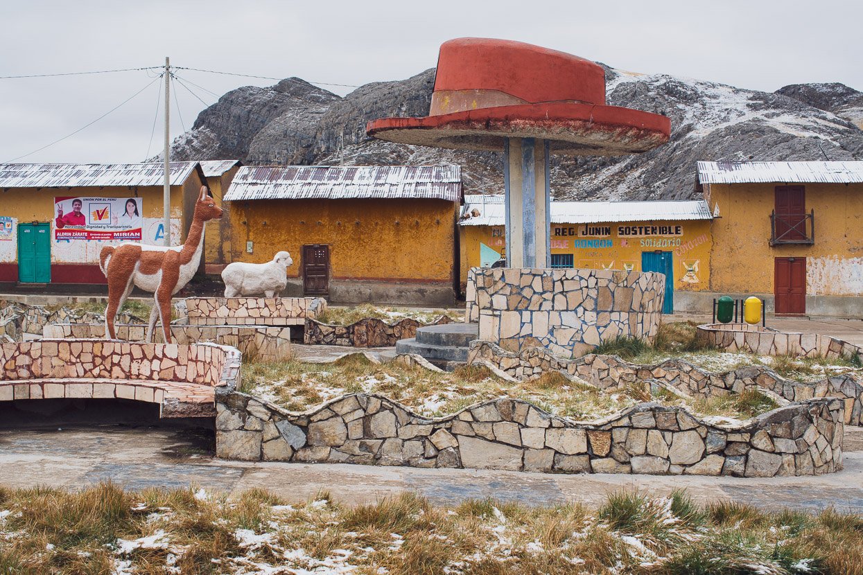
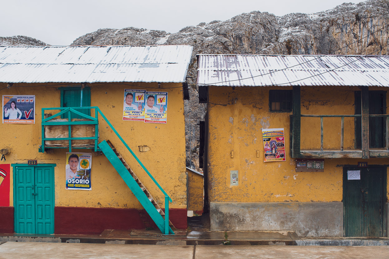
The dull mood of the morning didn’t do anything to brighten an already bleak-looking village, but the few people we saw were very friendly. A couple of campesinos, walking into town from their choza, chatted to us while we cleaned our bikes at the town water supply. And then we found the comedor and got a coffee and some egg buns to warm up – and we’d only ridden about 7 kilometres!
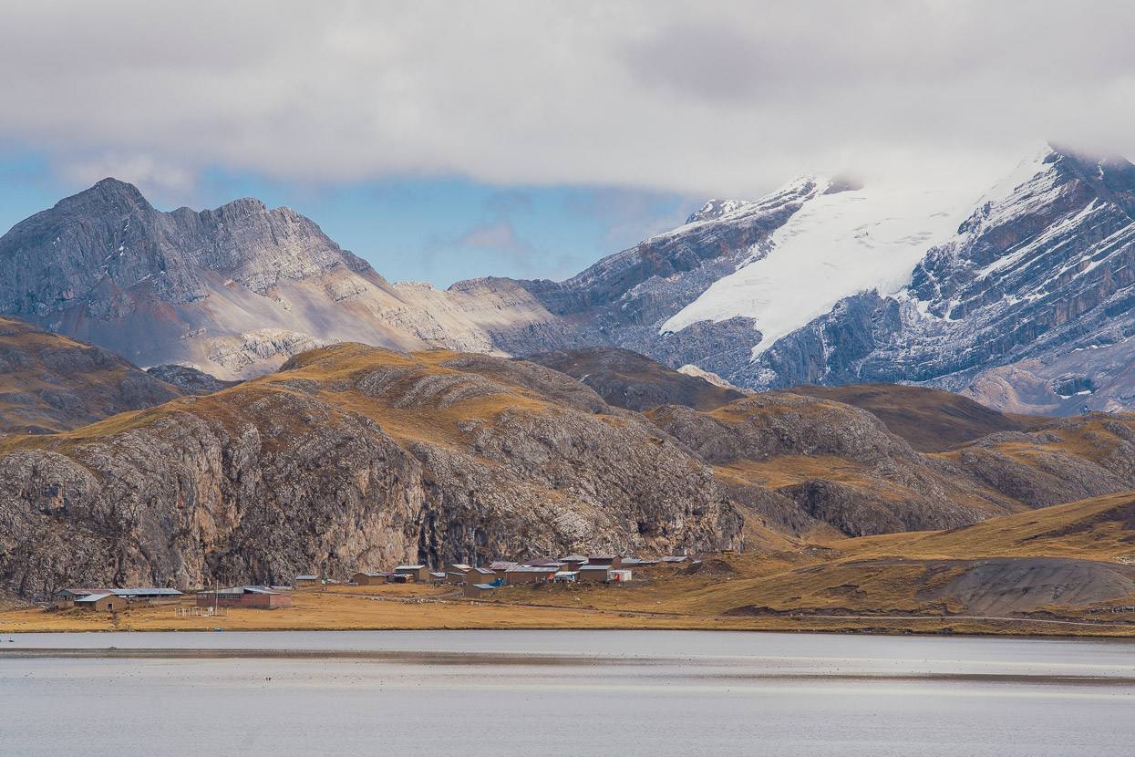
Looking back at Yantac. This town’s in a very memorable setting, surrounded with lakes and snowy peaks. Were it not so remote it would be an great rock climbing destination – with perfect limestone walls right by the town.
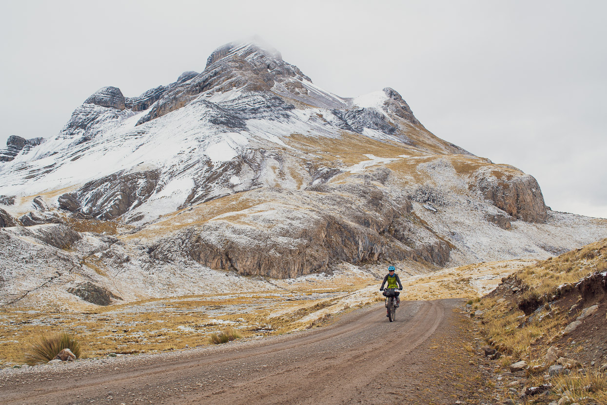
We passed by a couple more small villages as the day slowly warmed, and then began climbing the main pass of the day – a 600m climb, at a very gentle grade, up to Abra Sungar at 4850m.
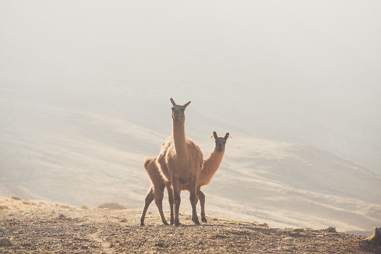
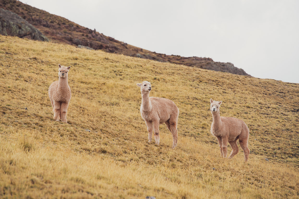
Sometimes under the casual eye of herds of alpaca. They’d look up, check us over, and uninterestedly go back to chewing on the pampa.
And past more richly coloured landscape.
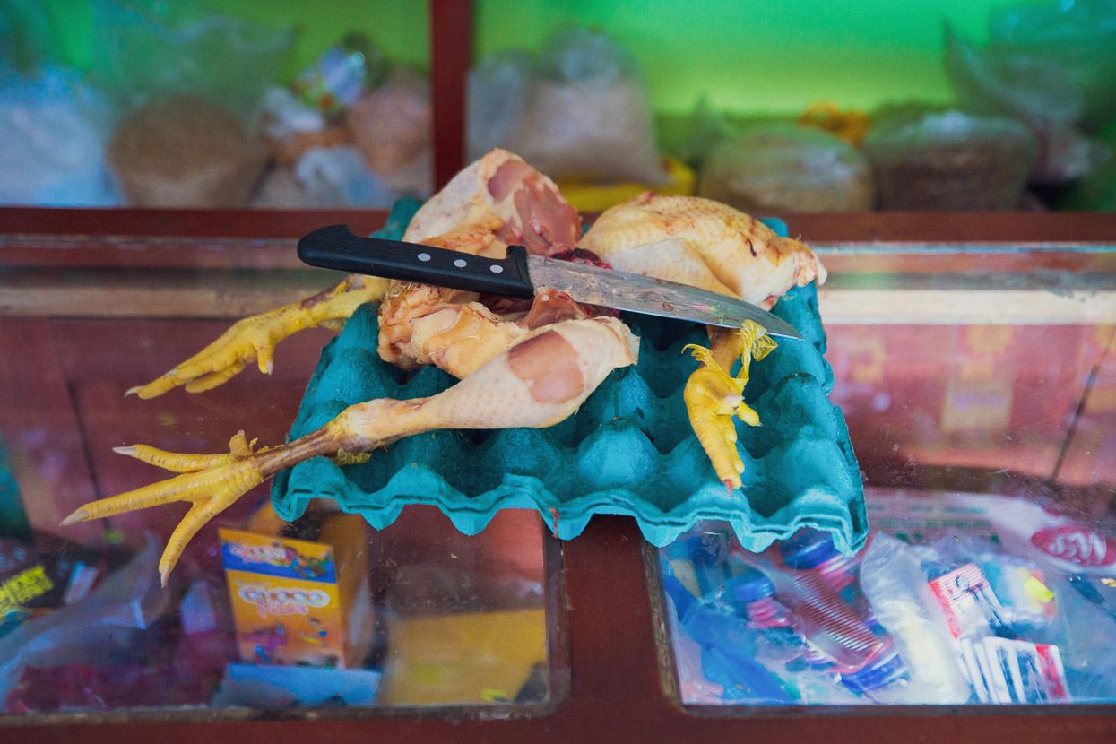
We hurtled down an amazing descent until we reached the hectic carretera central, busy with buses and truck traffic. An assault to the senses in so many ways after the peace of the puna. We headed down the highway for Chicla to spend the night. We’d hoped for internet, good food and resupply, but only ticked one of those boxes. The hotel had no wifi, and the four restaurants on the highway all served caldo de gallina (chicken soup) and nothing else. We spent a night, rested the next morning, and then hit the road at lunchtime – already itching for the backcountry again.
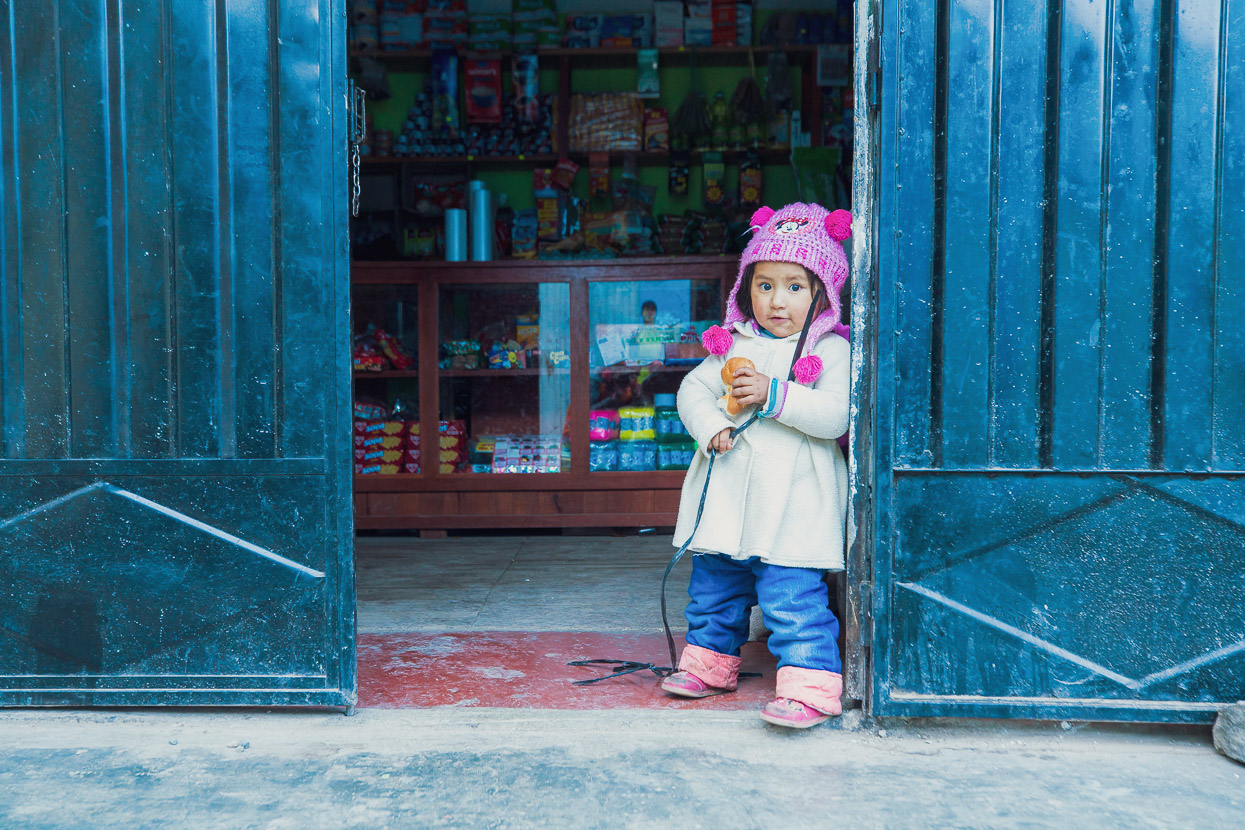
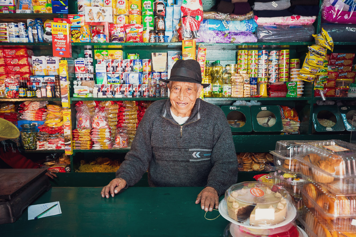
But while Chicla was a disappointment, the people here rarely are. This lovely old man ran a classic old fashioned grocery store with all the goods behind the counter. We bought most of what we needed for the following days here, as the man and his frail wife patiently collected our food from the shelves. When we paid, the man gifted us a couple of packets of chewing gum and wished us well.
Do you enjoy our blog content? Find it useful? We love it when people shout us a beer or contribute to our ongoing expenses!
Creating content for this site – as much as we love it – is time consuming and adds to travel costs. Every little bit helps, and your contributions motivate us to work on more bicycle travel-related content. Up coming: camera kit and photography work flow.
Thanks to Biomaxa, Revelate Designs, Kathmandu, Hope Technology and Pureflow for supporting Alaska to Argentina.



A wonderfully interesting blog, this one, giving us glimpses of the ‘back country’ so many of your photos are reminiscent of Central Otago.except we lack altitude. Do you ever see any rabbits ? On that spartan diet, you must be losing weight ? Stay safe. Really enjoying your view of Peru. 3 cheers to you & Hannah !
My partner and I are going to bikepack the Peruvian divide this August/September. We were wondering if you have any blogs/websites/facebook pages you could point us towards for up to date information about this route. Also if you have any tips. We are riding from Huaraz to Huancavelica. Thanks
The best (most up to date) resource is https://bikepacking.com/routes/peru-great-divide/
But there are several posts from the PD on this site – just search for “peru divide”.