Crossing the Nor Yauyos-Cochas Landscape Reserve.
Here’s another update from the Peru Divide: our second leg along this amazing high-Andes traverse.
As we crisscross passes – between the Pacific to the Atlantic watersheds – making our way south, the Andes never fail to surprise us with their ever-changing landscapes. One might think staying in the mountains the entire time might get tedious – and sure, the constantly cold weather does have us craving Caribbean beaches at times – but this landscape is so complex and diverse no two days are the same. The desire to see what’s over the next pass is just one of the things that keeps us motivated, along with experiencing the local food and how the culture and customs change from valley to valley. There’s always something new to see.
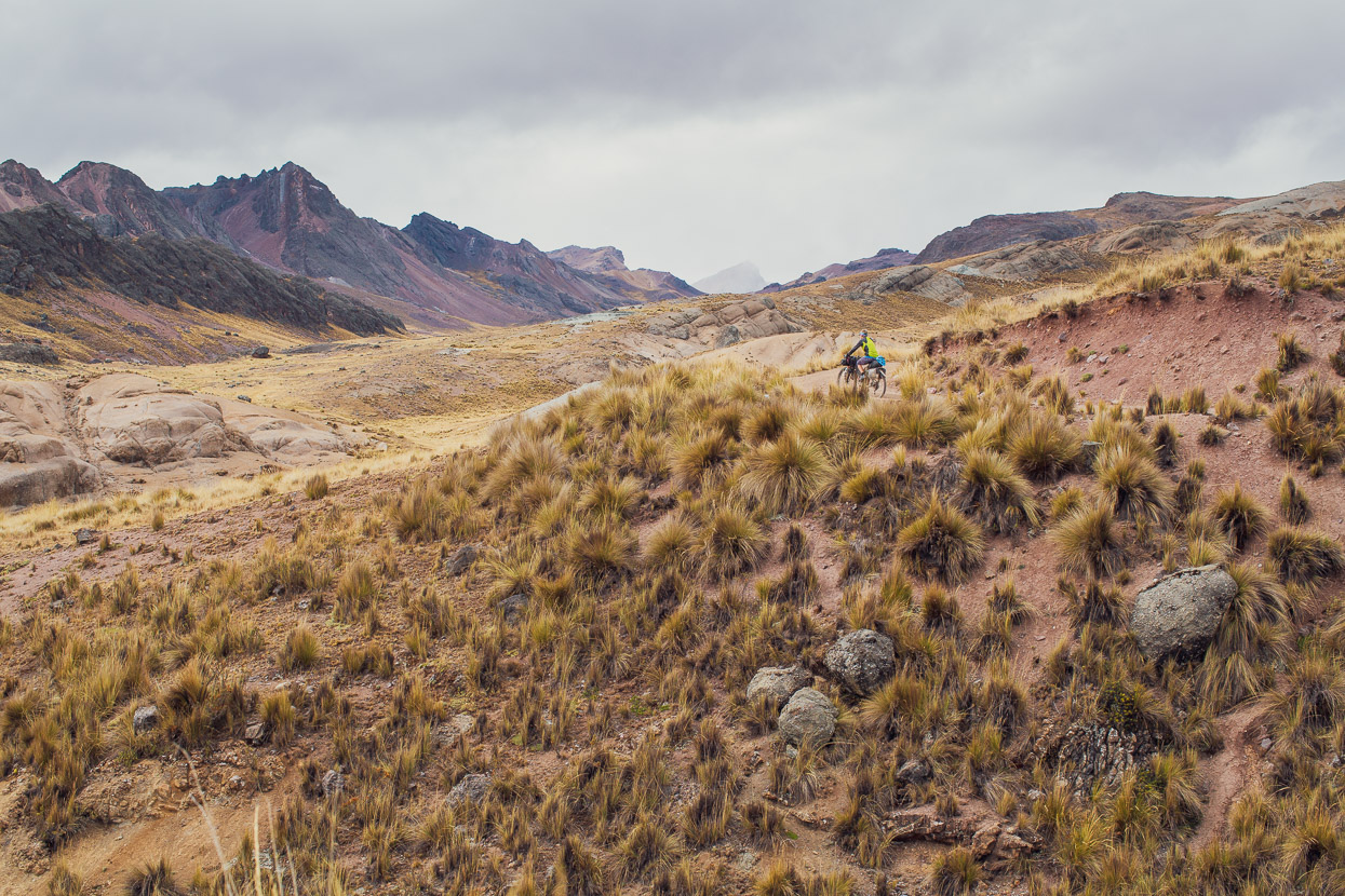
We left the small highway village of Chicla in the early afternoon, having had a half-day break there to rest the legs and breathe some richer air. Being deep in a canyon, a long climb lay ahead as we ascended slowly through an arid landscape, dotted with cactus, that eventually gave way to the now familiar pampa of the high country.
We camped for the night just above Laguna Yuracmayo.
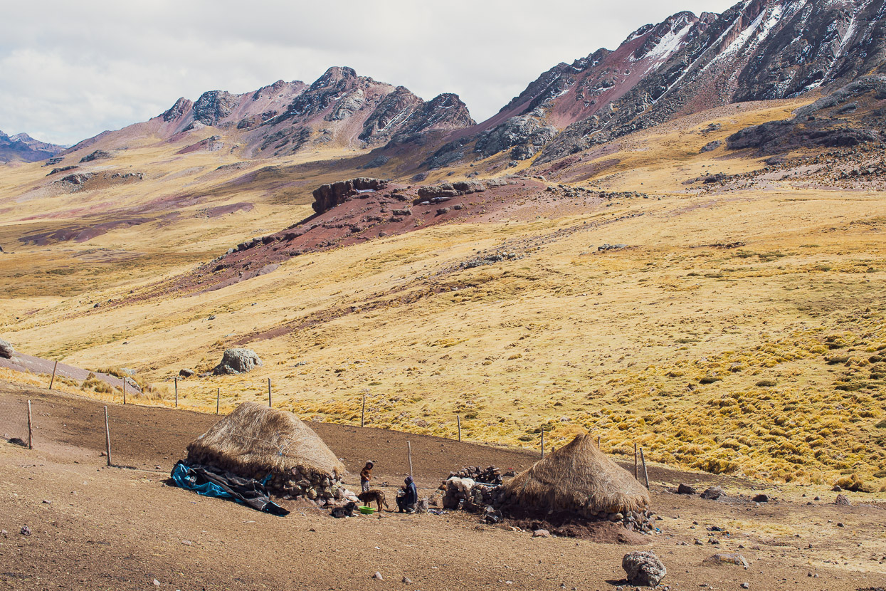
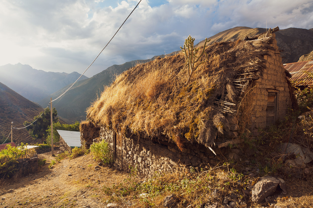
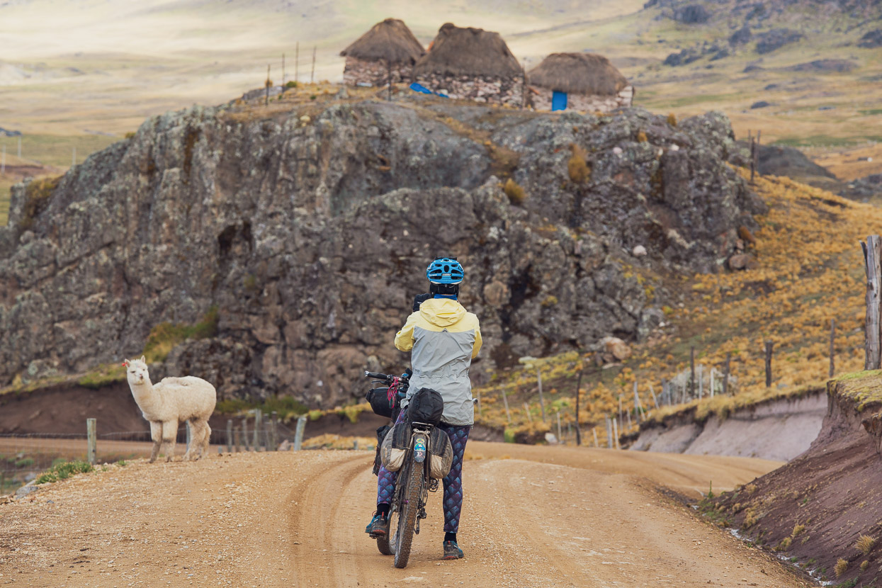
In the morning the climb continued past occasional, solitary, chozas – the small rock-wall and thatch huts that remote farmers live in here. Always a friendly wave and a shared greeting.
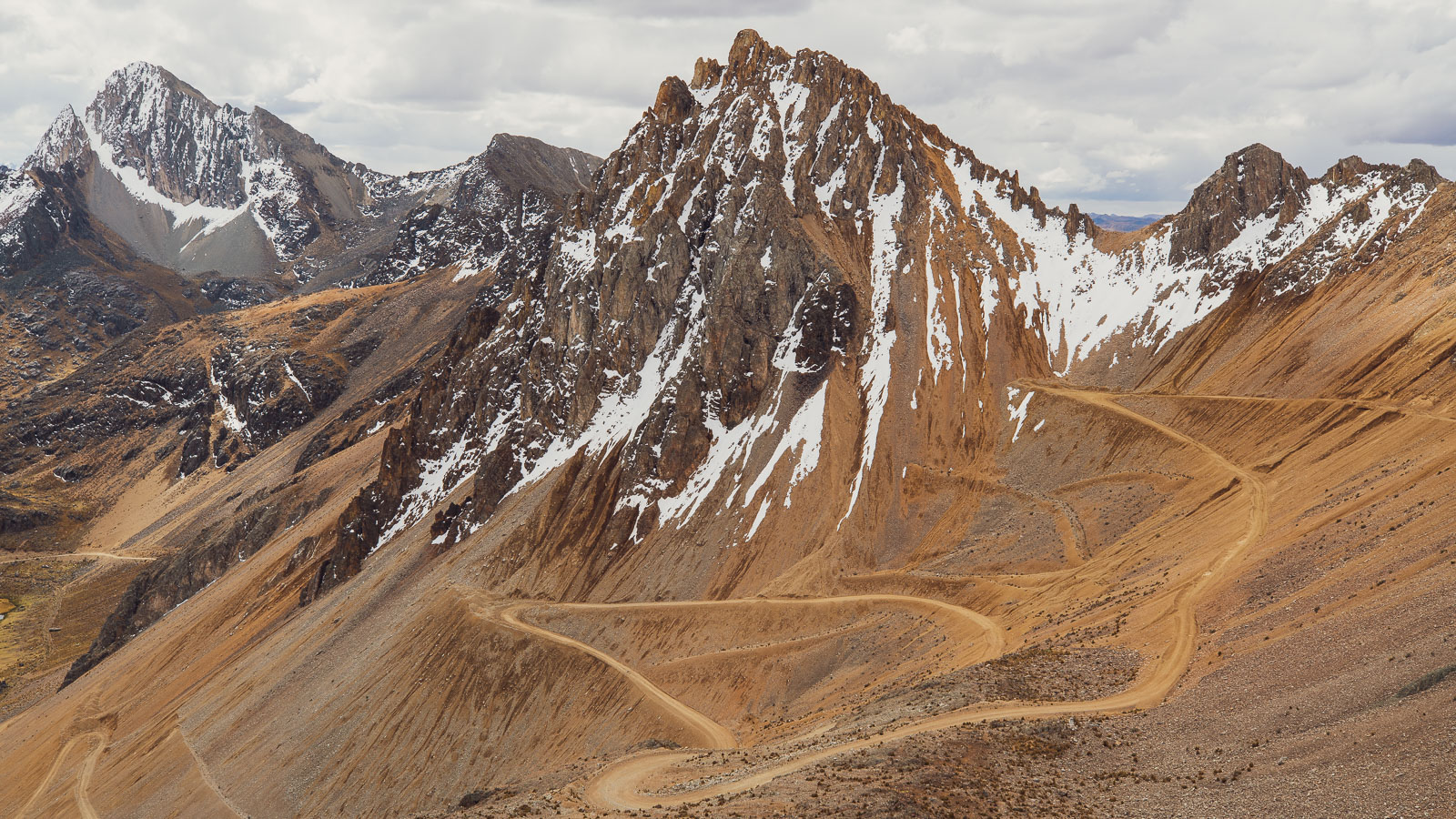
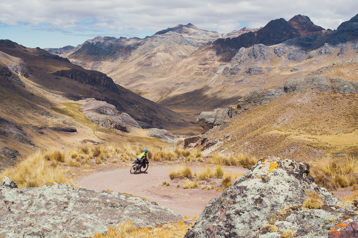
It’s a nearly 1500m continuous climb to Punta Ushuayca at 4930m, but after our previous high stretch and low rest in Chicla we were feeling well acclimatised. The ascent still felt never-ending though.
A look back at the morning’s work, gained with a steady cadence and a frequent intake of snacks.
We waved a hello to some people outside one pair of chozas and then decided to walk down and say hi. There’d been an adult there, but they shyly went inside as we approached.
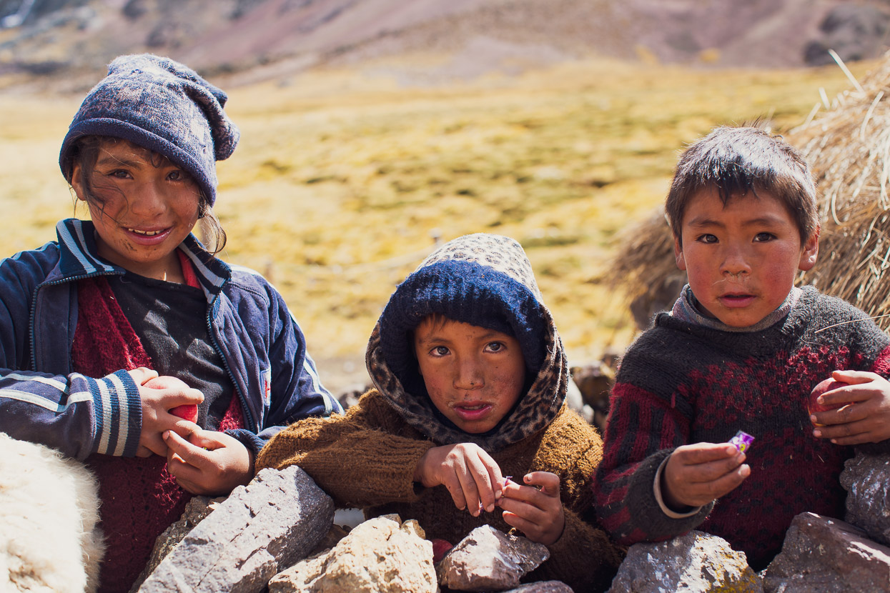
Instead we chatted with the three grubby children for a few moments, giving them some sweets and asking them about the animals they farmed there (sheep and alpaca). They knew very little Spanish (Quechua being their native language) and with the nearest school hours away probably weren’t likely to be learning much more.
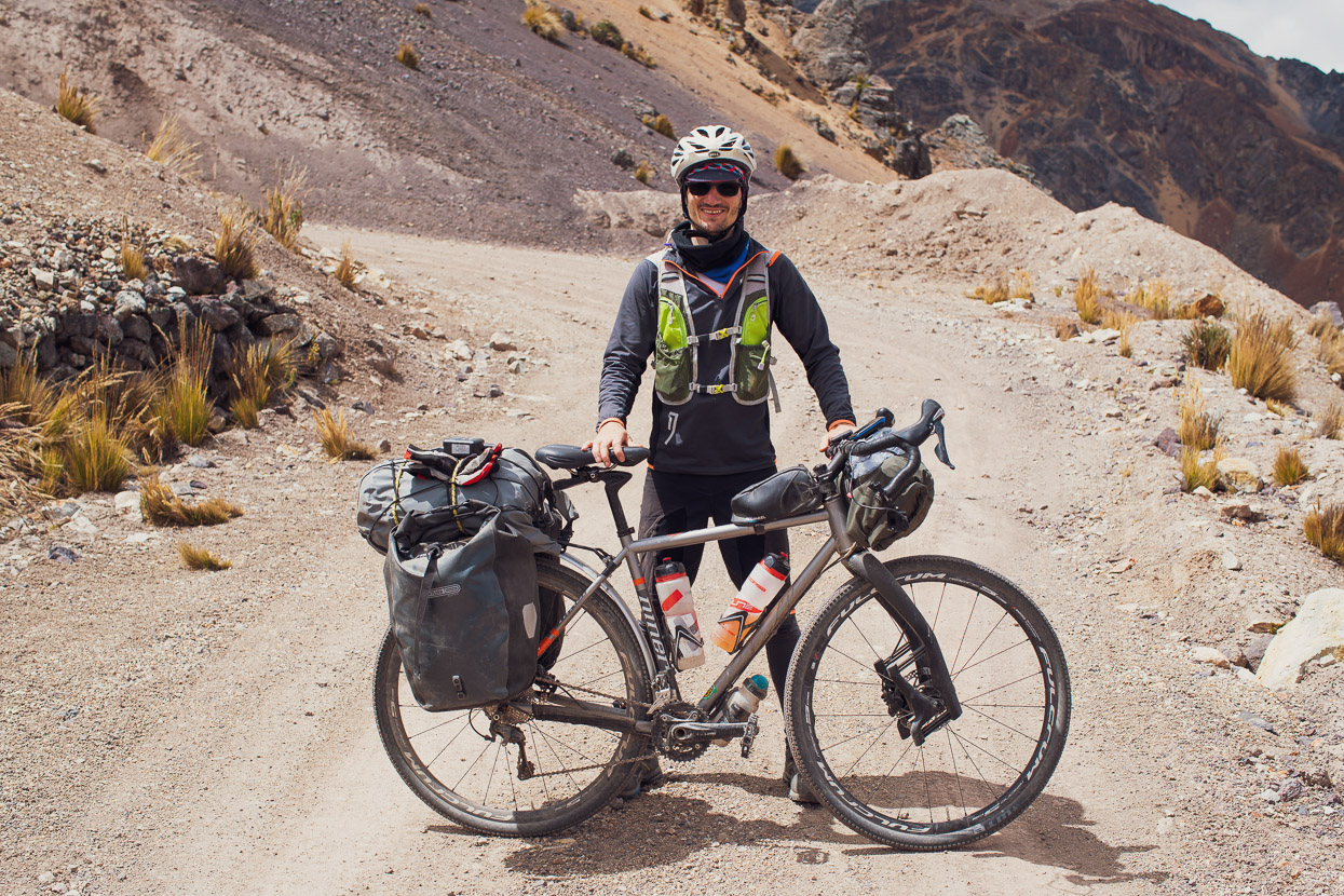
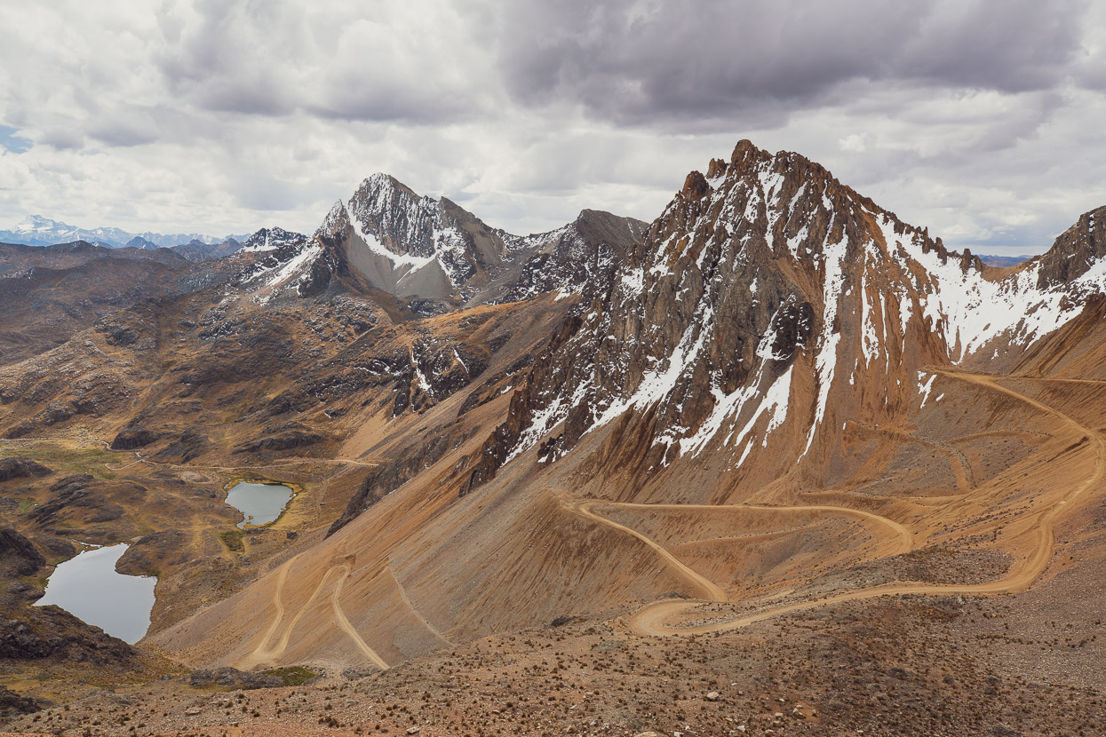
Eventually we crested the pass and began the switchbacked descent into a new valley, stopping to chat to an Italian cyclist on the way. It’s rare that we meet other cyclists, so it’s always a good moment and a chance to learn about the road ahead and info for food and accommodation.
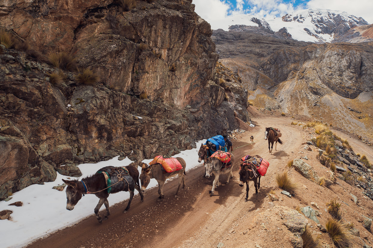
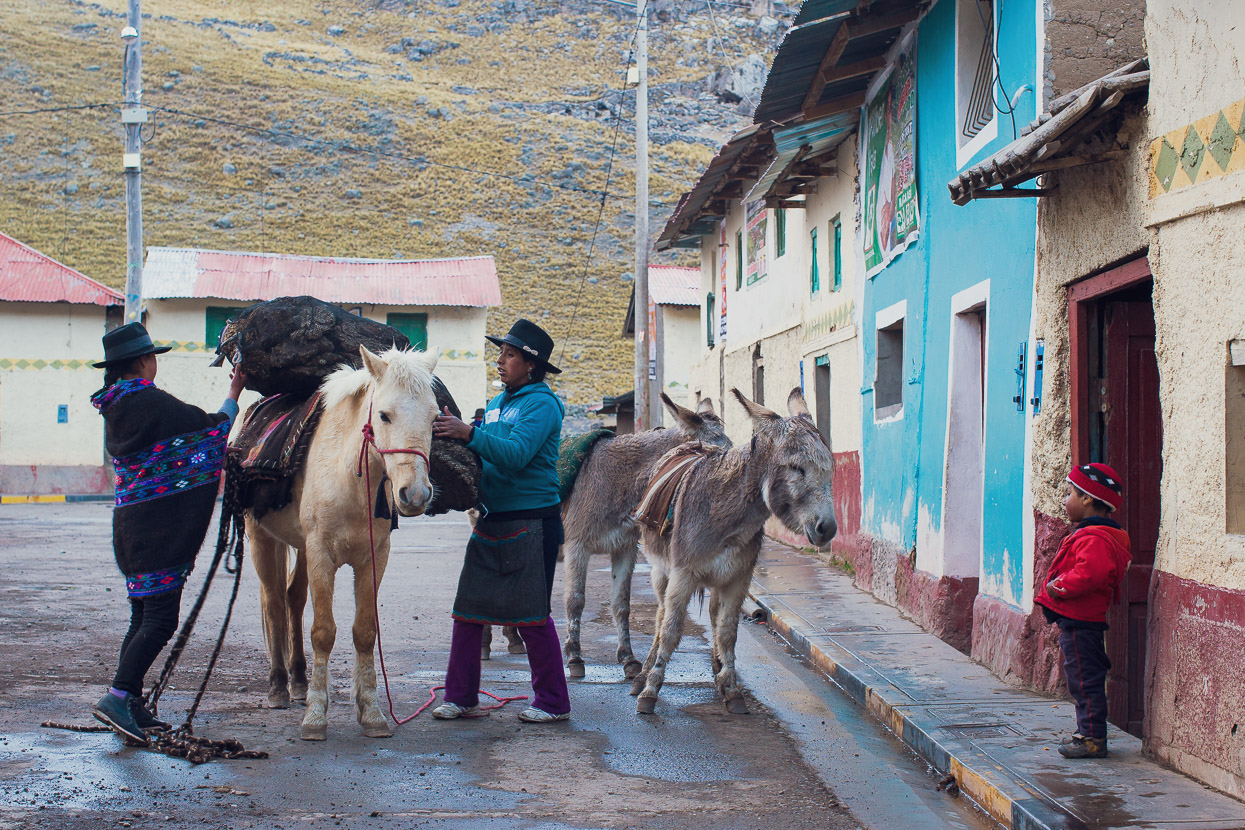
You’re just as likely to see supplies moved by animals here as you are to see goods trucks.
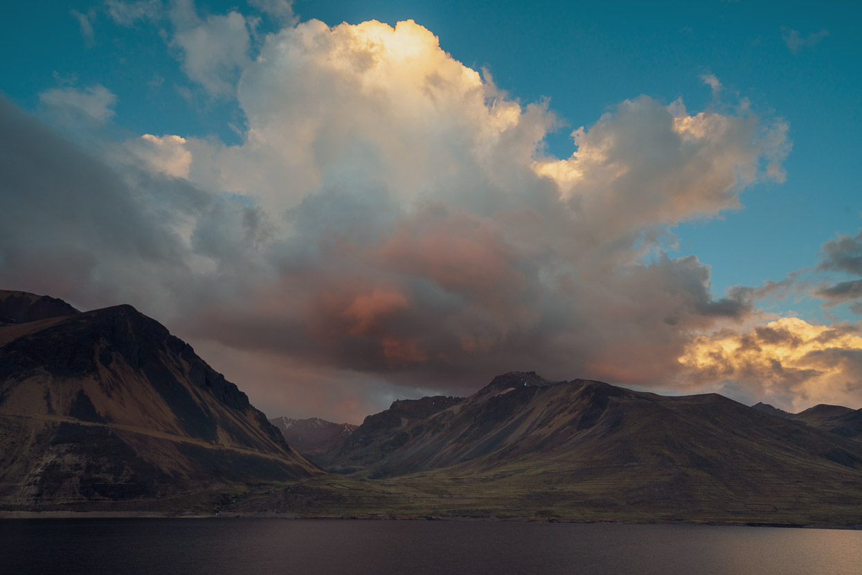
It was a two pass day, the second being Punta Suijo at 4660m. This one was the steeper and rockier of the two and on tired legs was a challenge. We’d been watching a thunderstorm build for the past couple of hours and as we crossed the pass the first slash of lightning split the clouds and snow fell in the distance.
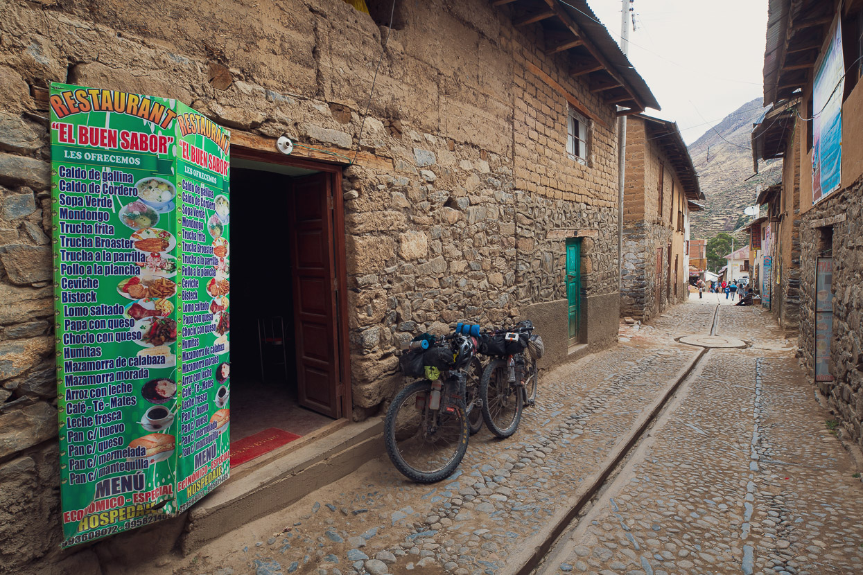
We made it to Tanta in the nick of time, blown along the edge of the lake by the fresh wind and peppered with occasional hail. We took refuge in the town for the night, staying at a small hospedaje (there are 3-4 there). The attached restaurant served up a pretty good lomo saltado, which is one of our favourite Peruvian meals; a stirfry of beef/chicken or in this case alpaca, onion and tomato with soggy chips mixed in with it and served with a side of rice. It’s tastier than it sounds!
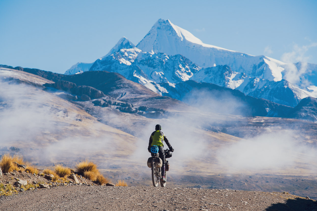
The skies cleared overnight to bring a freezing morning. We waited until a frigid inversion had wafted away before hitting the road, but still had a lot of clothes on as we left town.
And clear skies gave epic views of the nearby peaks (Paryaqaqa 5750m).
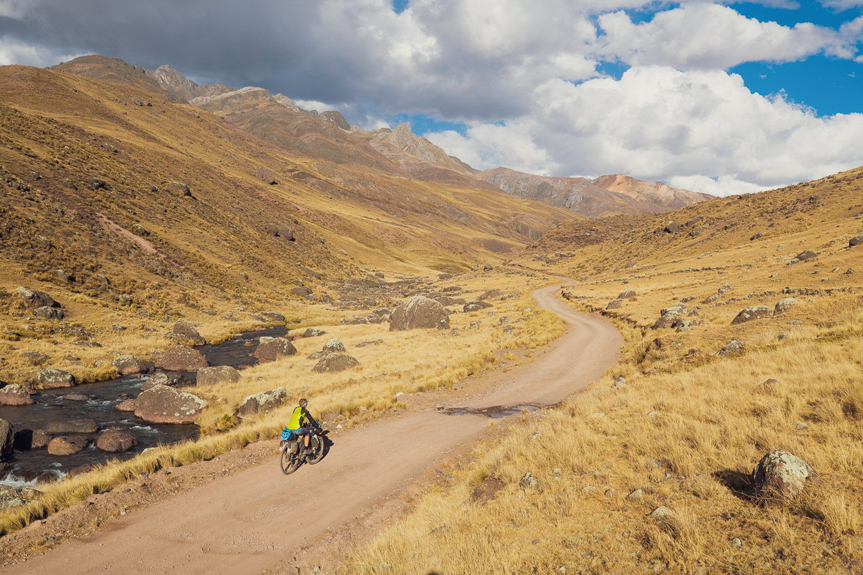
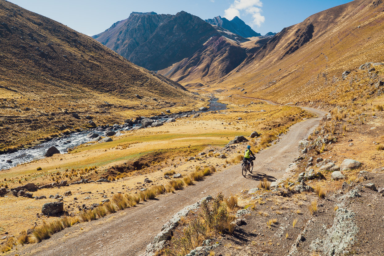
For a change, our route for the day was more down than up, and we made good time down the sunny valleys.
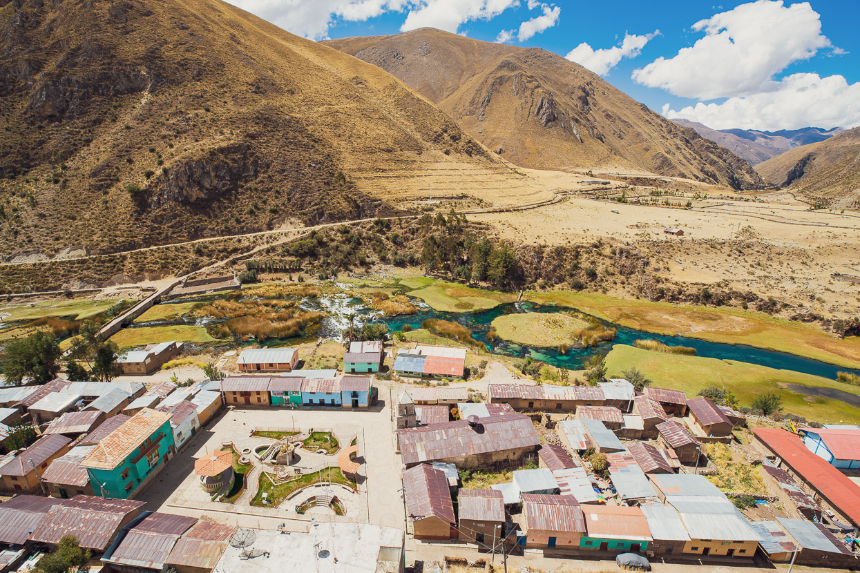
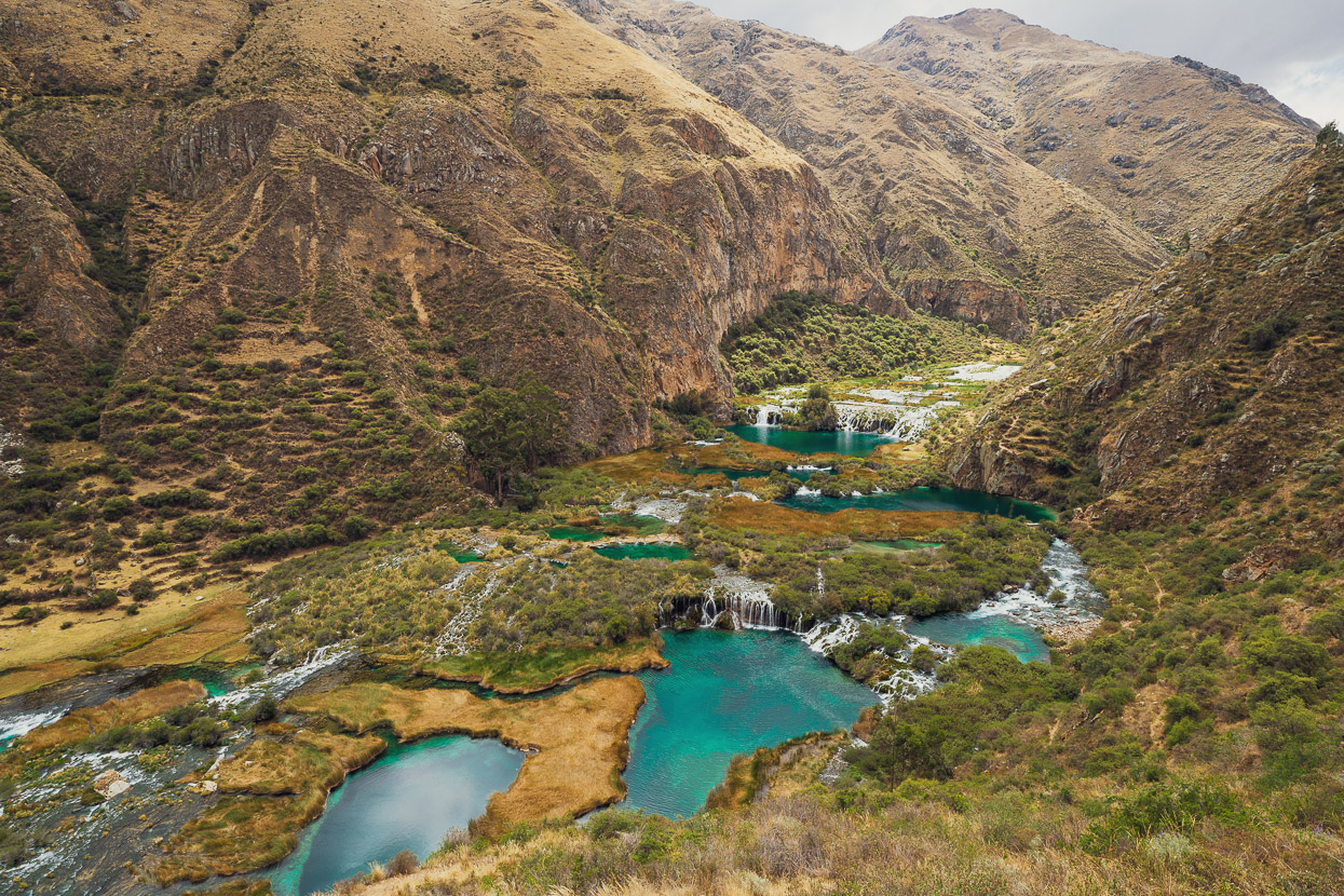
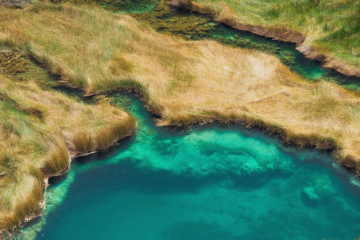
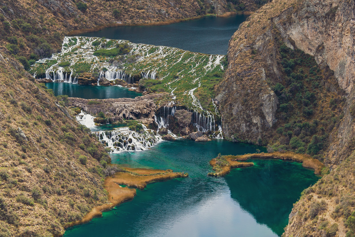
The emerald-coloured Rio Cañete led us down to Vilcas, a pretty little village, where the slow moving river cascades over a series of calcified terraces. They’re similar formations to those that we saw at Semuc Champey in Guatemala. Until only a couple of years ago, the route to this village from the north was singletrack, but has (sadly) since been bulldozed into a well formed dirt-road.
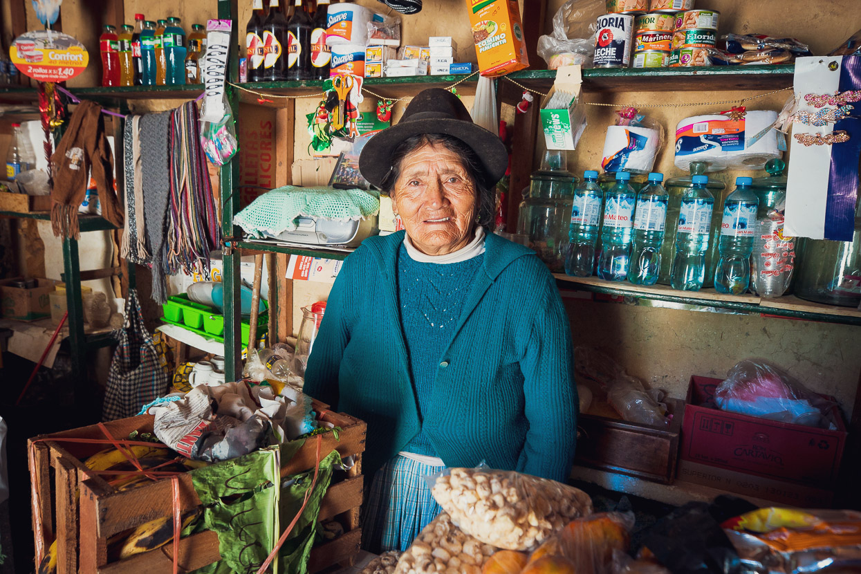
We picked up some snacks from a friendly woman at the tienda and rode on.
Although remote, the Rio Cañete – which eventually exits the mountains near Lima – is a tourist attraction for its amazing series of pools and limestone terraces. The highlight is this section, downstream of Vilcas.
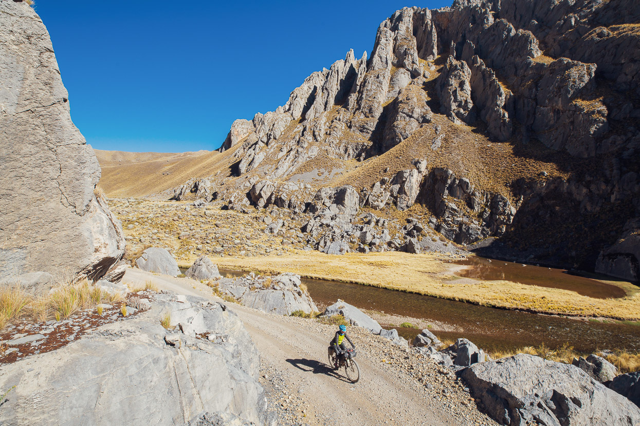
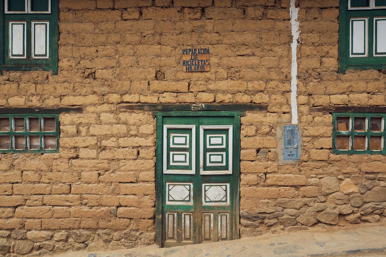
The canyon channelled us down valley the rest of the afternoon, past massive cliffs, abandoned mine shafts and crumbling mud brick settlements. Eventually, after dropping to a ‘low’ of 2960m at Llapay, we turned left and made a 500m climb on pavement up to Laraos.
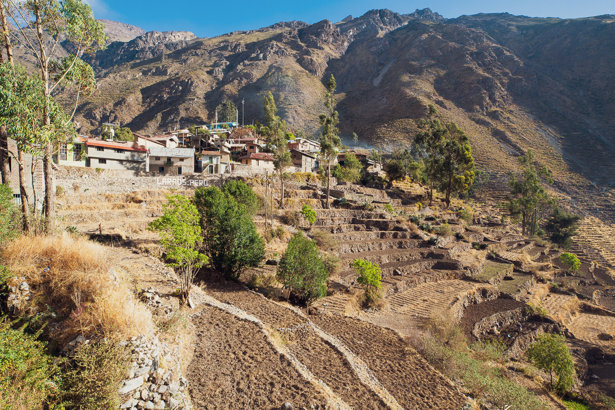
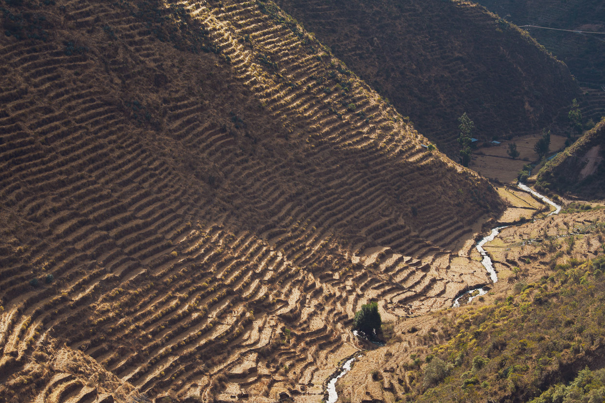
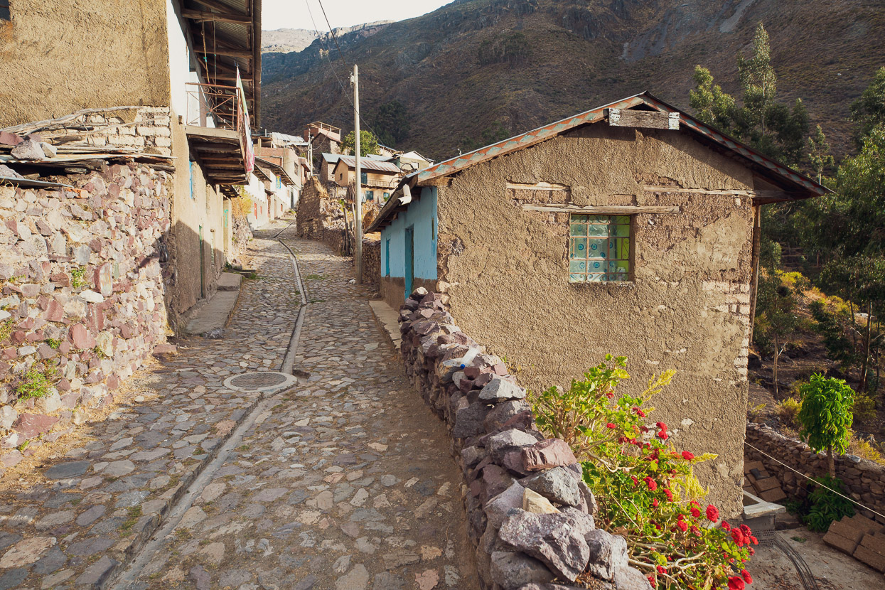
This picturesque village is tiered, citadel-like, atop an ancient landslide and above several kilometres worth of crop terraces, which have a pre-inca heritage. Many of the terraces, and their intricate irrigation system are still in use today.
We took a day off here, and spent some time watching the villagers burning off the scrub on the terraces for a new season, planting, sorting beans and maize and directing water flow. Unfortunately there was a power outage almost the whole time we were there, but that just forced us to do more resting. Not that there was any signal or internet here anyway. Instead we visited the same cosy little restaurant for three cooked meals that day, until we started to feel like locals.
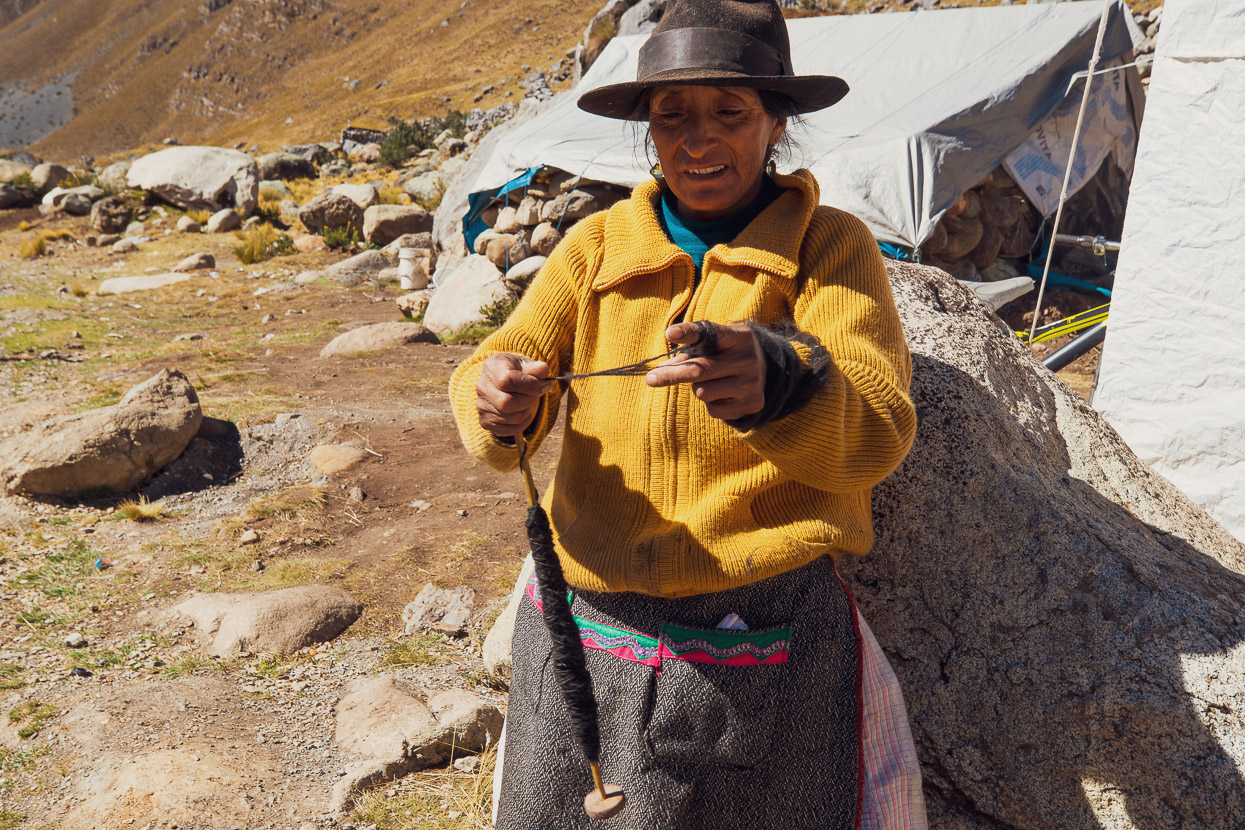
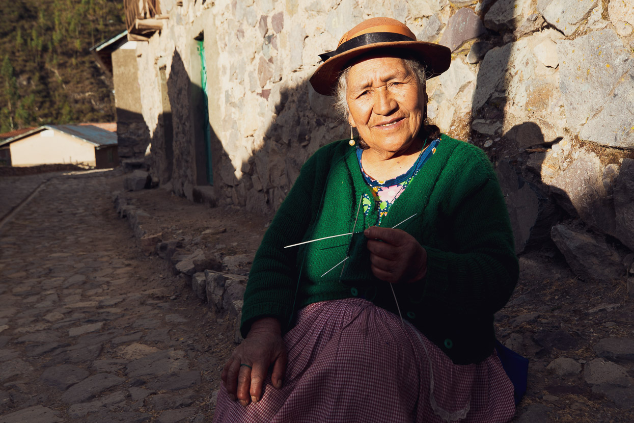
The people in Laraos were exceptionally friendly and wandering around the village it was very easy to end up in conversation; with people always curious to hear what we were doing there.
This woman prayed for our safety on the road ahead.
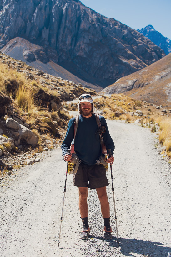
The following morning as we rode up valley we had the pleasure of meeting long distance hiker Virgile Woisard (The American Hike). Virgile is one year into his length-of-the-Americas hike, having started in Ushuaia. He takes trails where he can, but the Peru Divide bikepacking route has proved useful to him as a relatively direct and interesting through route.
Coincidentally, NZ’s Te Araroa trail had been his first through hike, and after completing it he’d bought a copy of my photography book Te Araroa – Walking NZ’s 3000km Trail.
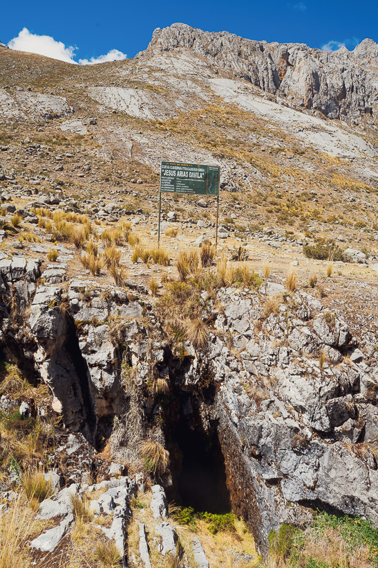
A point of interest as we headed towards Punta Pumacocha was the Sima Pumacocha cave system, which is one of the biggest cave systems in the Andes (638m deep). There are three main shafts, leading to extensive passages and some areas of fossilised ammonites. One of the shafts is considered to be the longest in the Andes at 282m. With the entrance being 4372m above sea level and the depth being over 500m, it is the highest known major cave in the world.
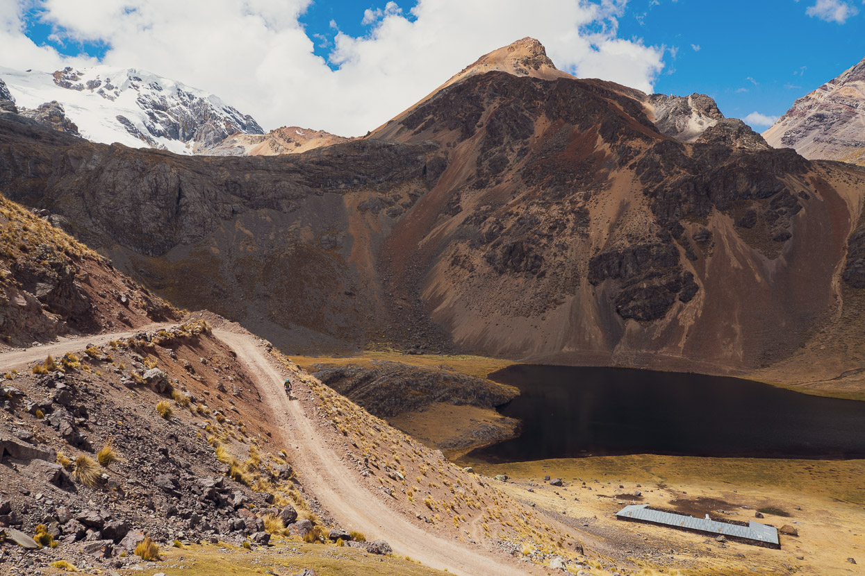
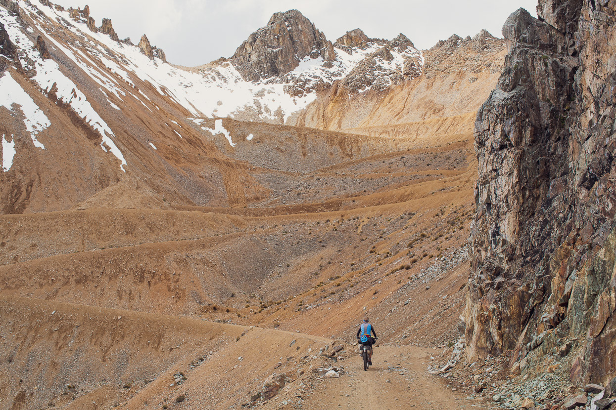
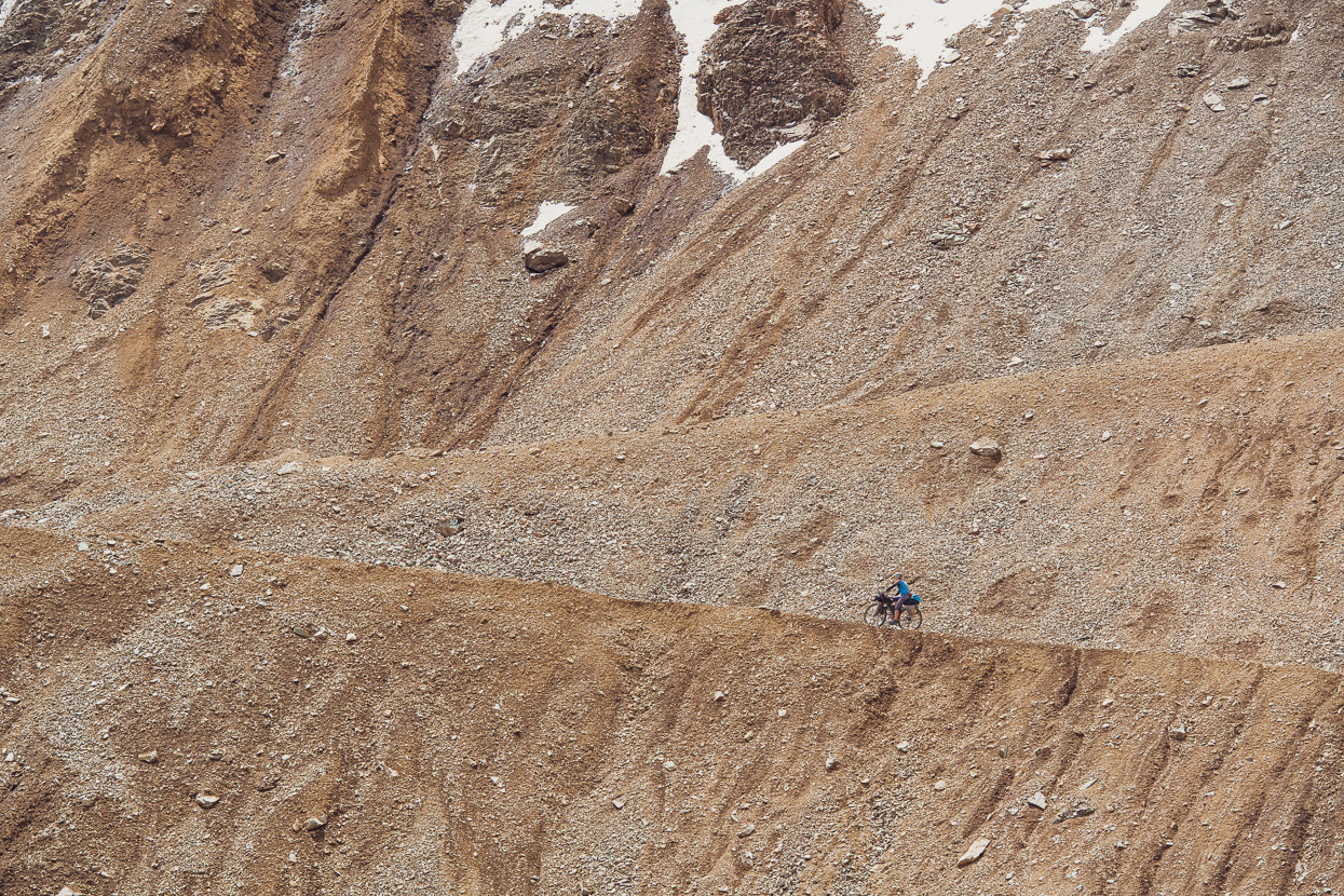
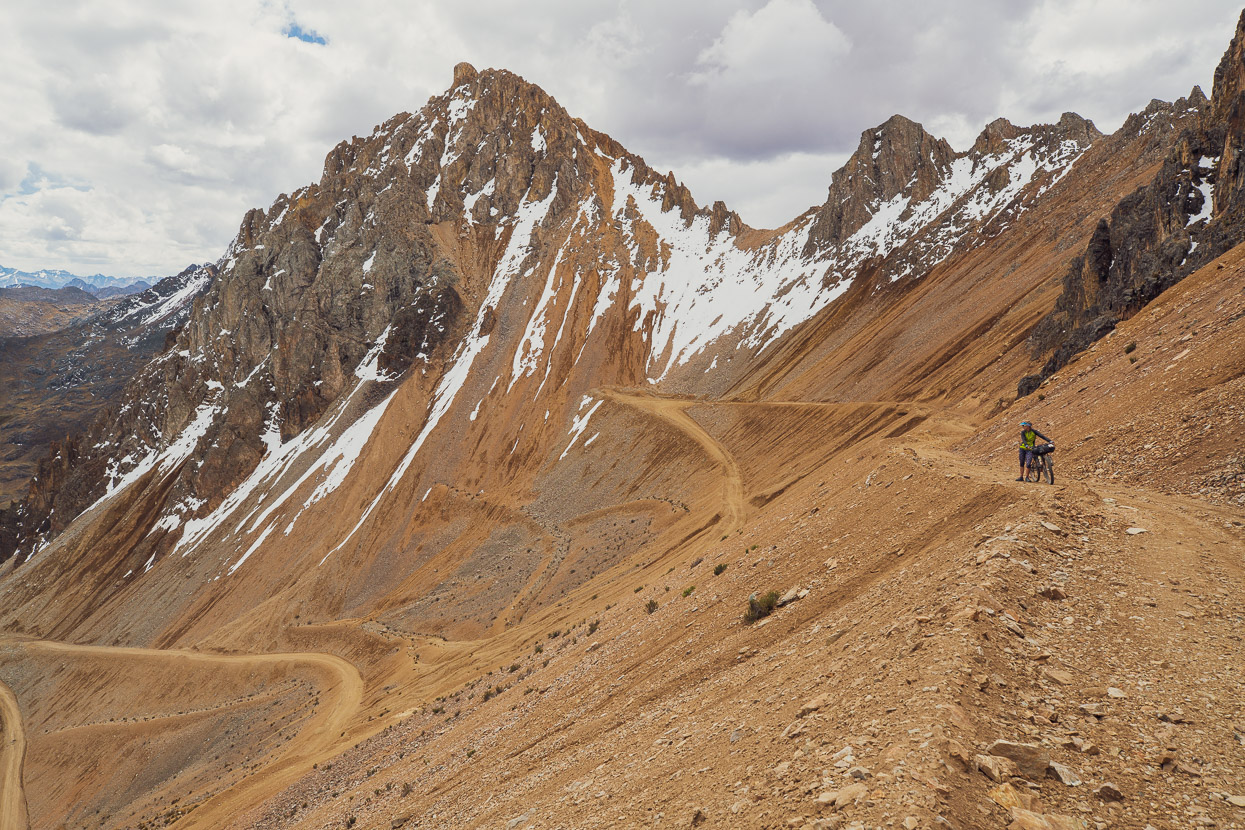
But we were going up, not down – and a long way it was. At 4960m and with a relentless loose, and sometimes steep, gravely surface Punta Pumacocha is one of the hardest passes on the Peru Divide route. We took our time, stopping frequently to catch our breath.
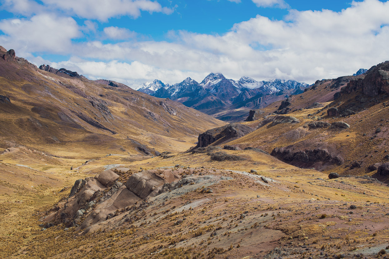
From the pass – the continental divide of South America – it was an amazing view west as the Pacific watershed slopes away.
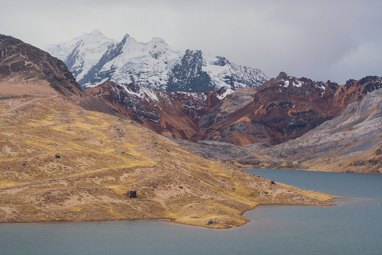
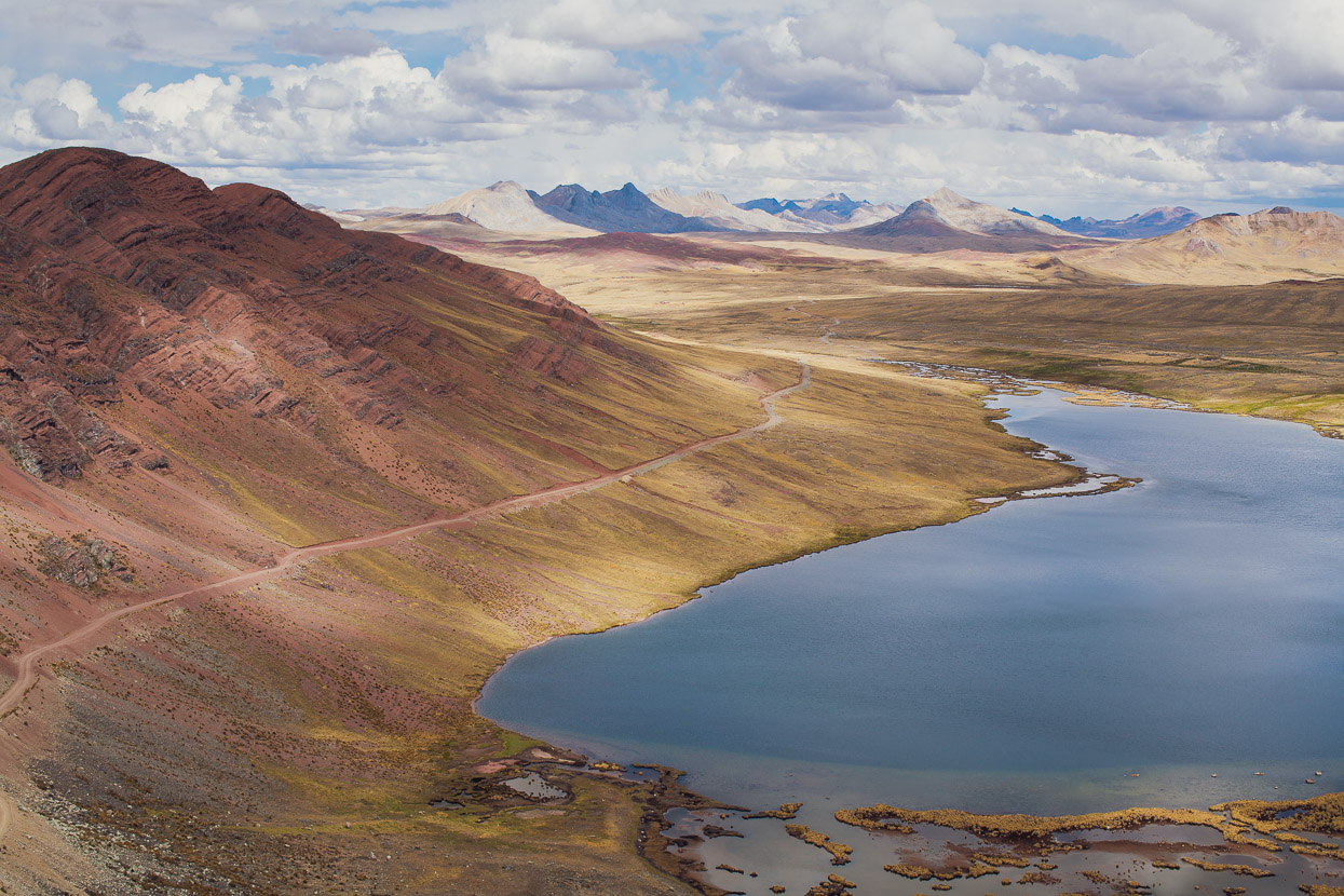
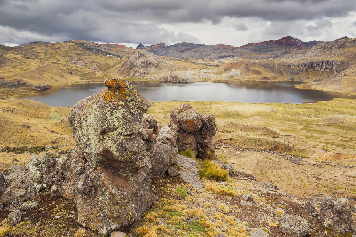
And to the east a totally different landscape looking into the Atlantic watershed. Here the land was a barren, high altiplano with scattered lakes and smaller peaks.
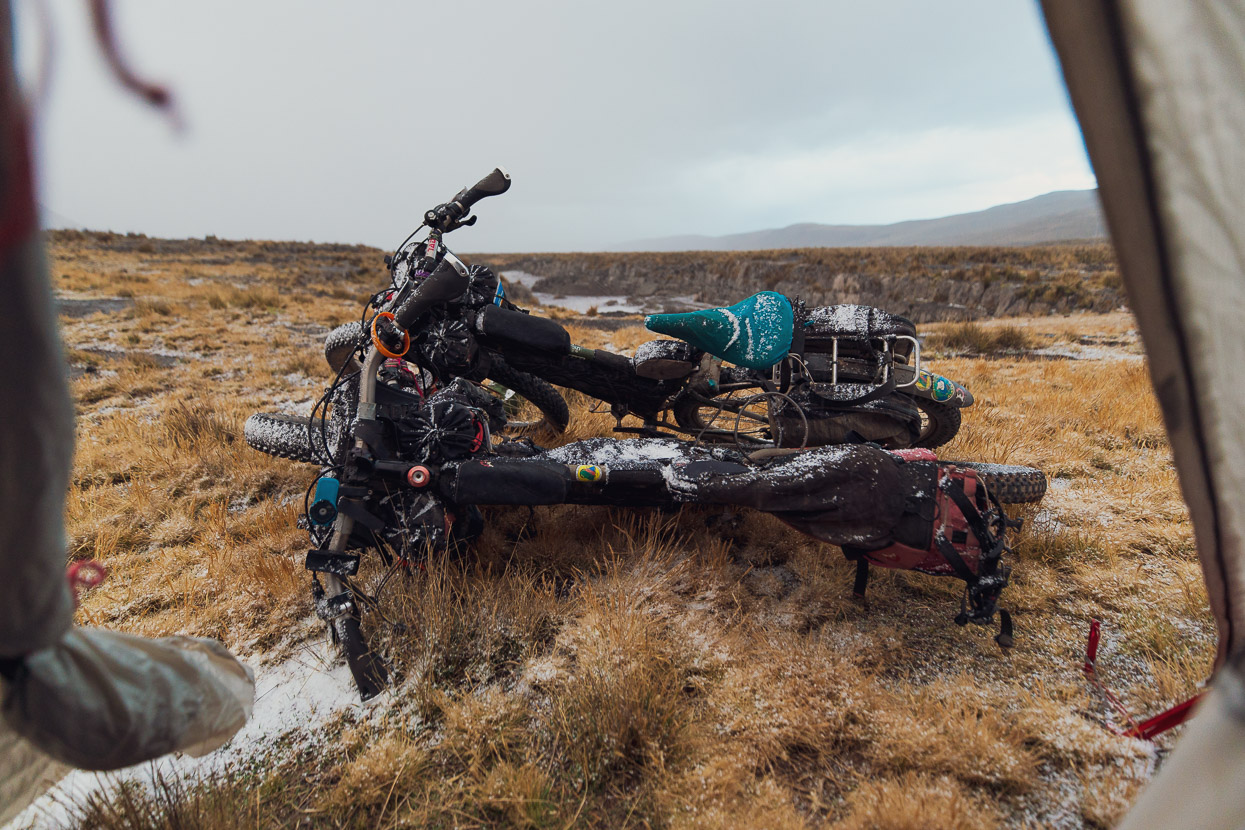
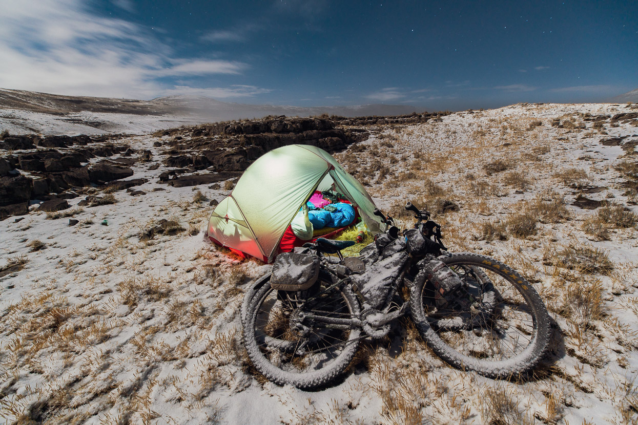
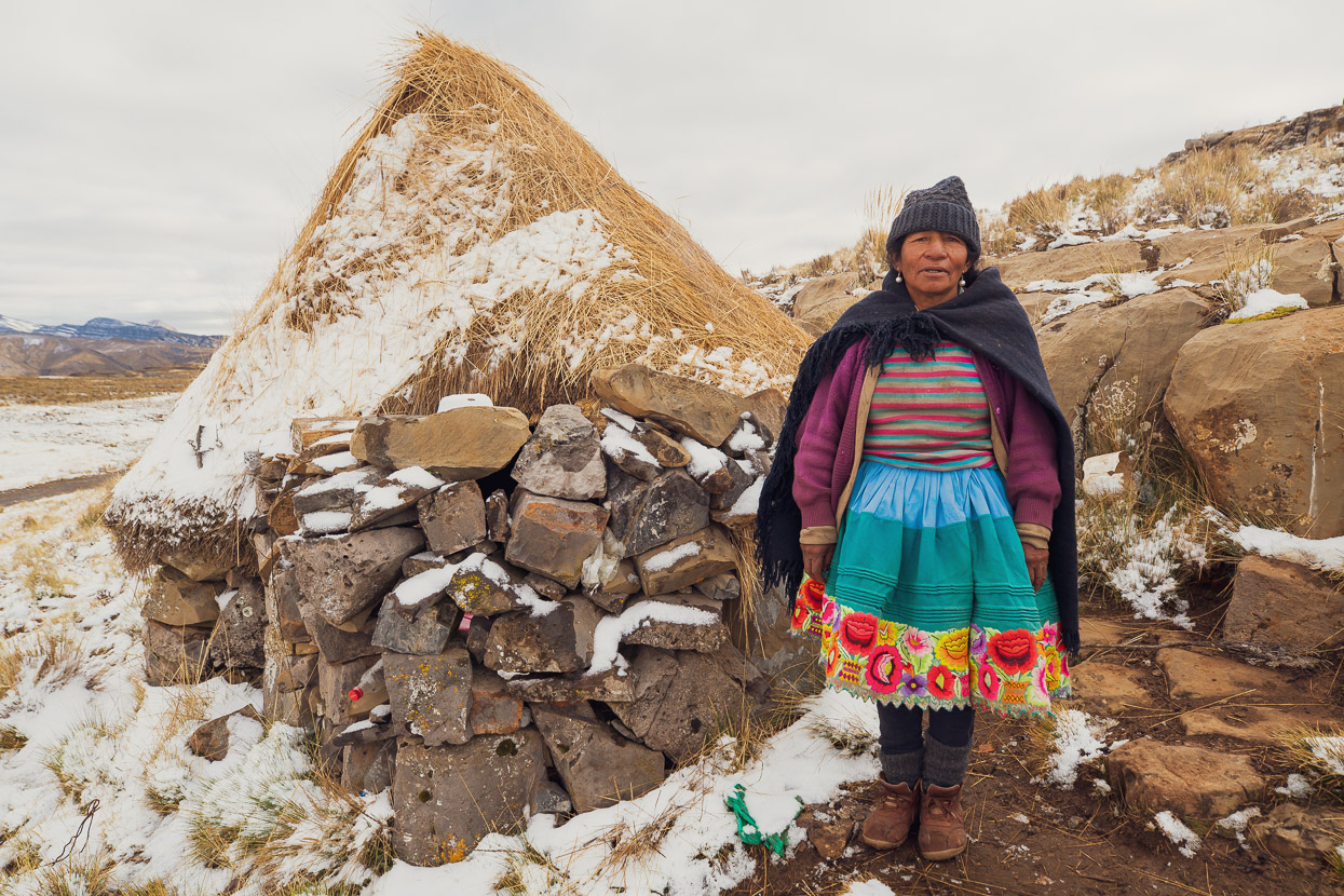
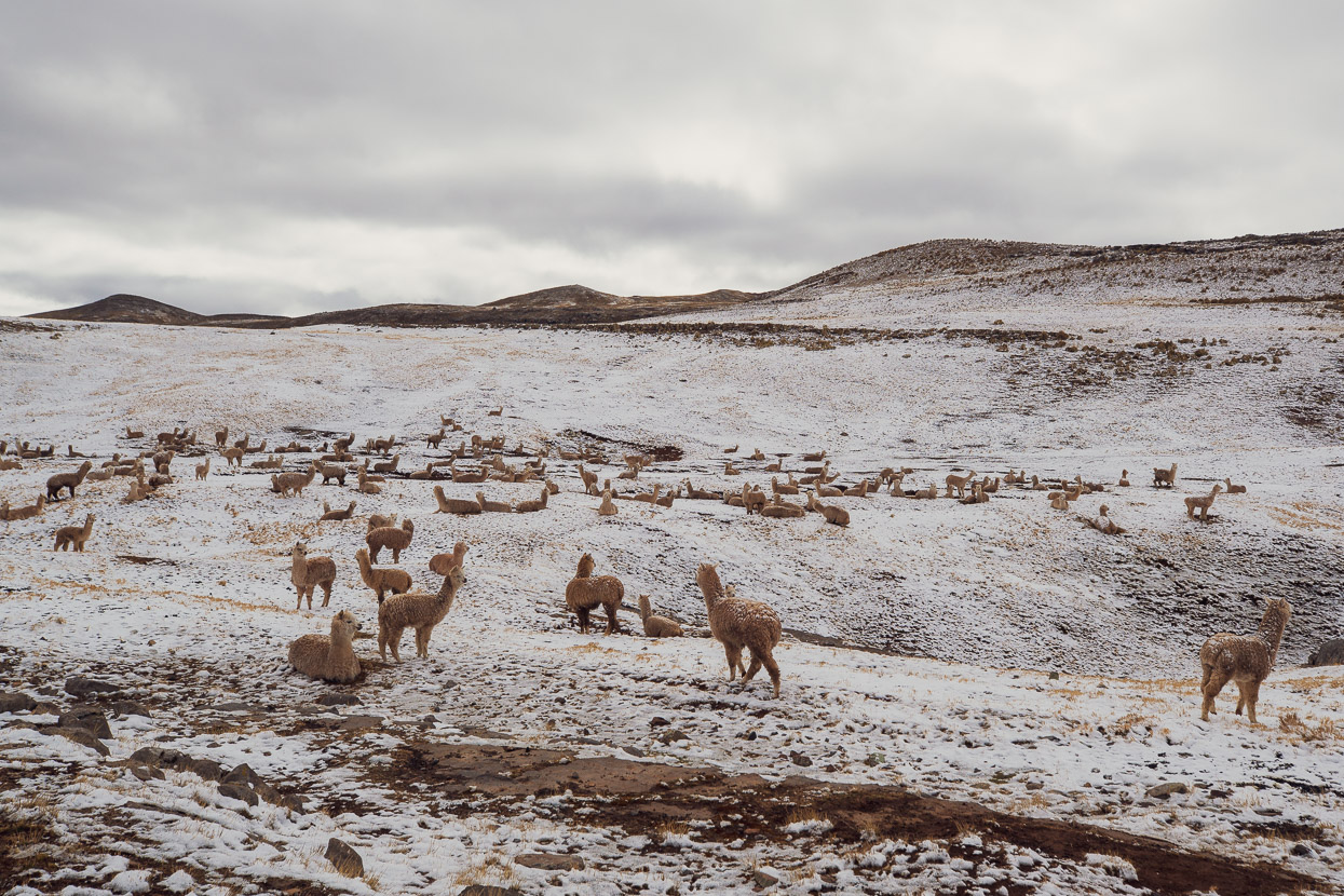
We descended and rode on through the cold and windy puna, before climbing again and passing a mostly deserted mine. We stopped for the night, just before dusk, at a small farming settlement of just two chozas and hundreds of alpaca. We asked a woman who lived in one of the huts to direct us to some water and she helpfully obliged, before pointing us to some shallow limestone outcrops where we could find shelter for our tent. As we pitched it the evening snowstorm blew in.
Leaving a beautiful white and stark landscape by moonlight.
In the morning we dropped by the woman’s hut again to gift her a mandarin and some chocolate as thanks. She’s lived here, mostly alone, for two years. She does have a husband, but he was away in Huancavelica studying.
Most of the alpaca were slower to get up than we were.
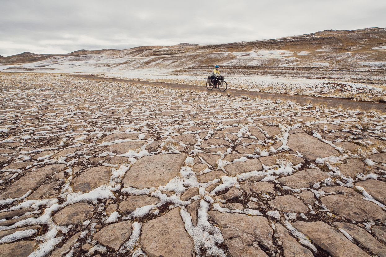
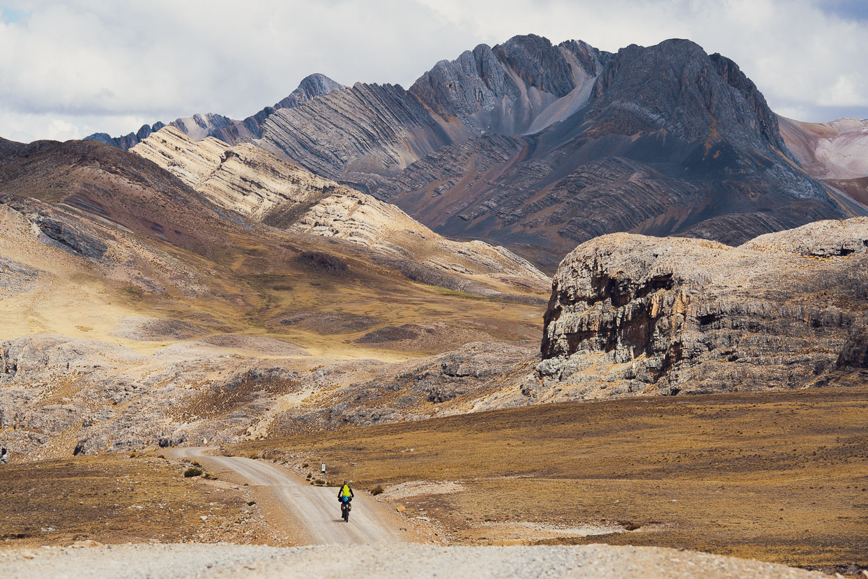
It was another frigid morning until the sun made an appearance, but the fascinating geology was plenty of distraction from cold toes.
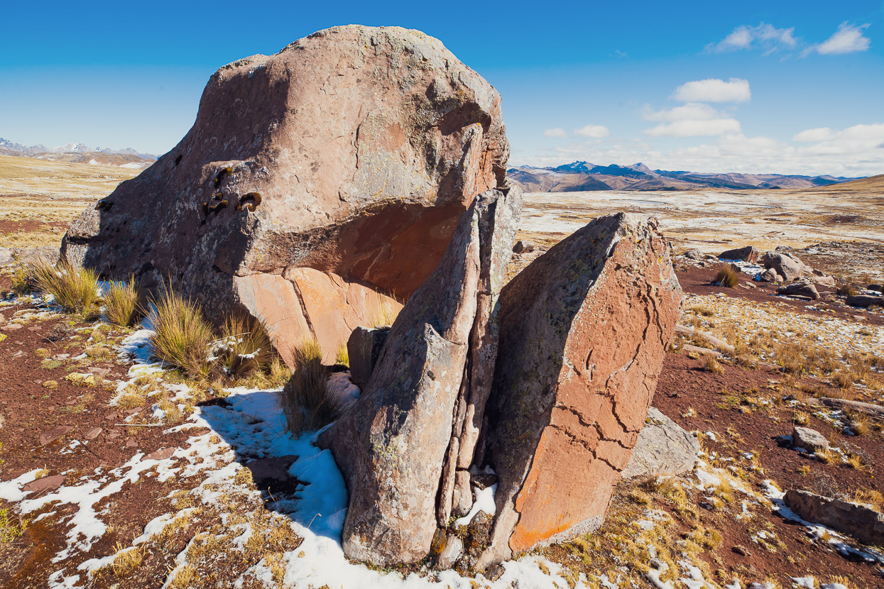
We left behind the limestone and rode higher onto a sandstone plateau.
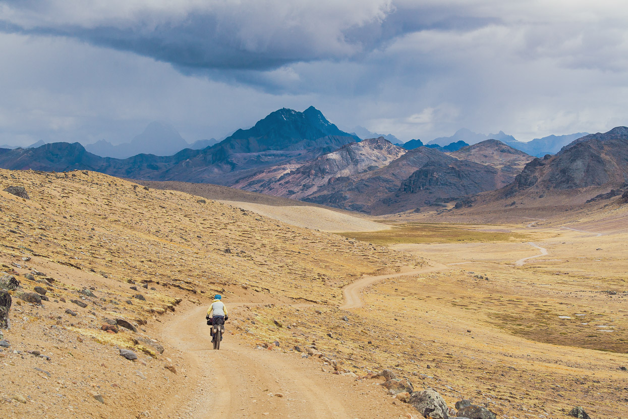
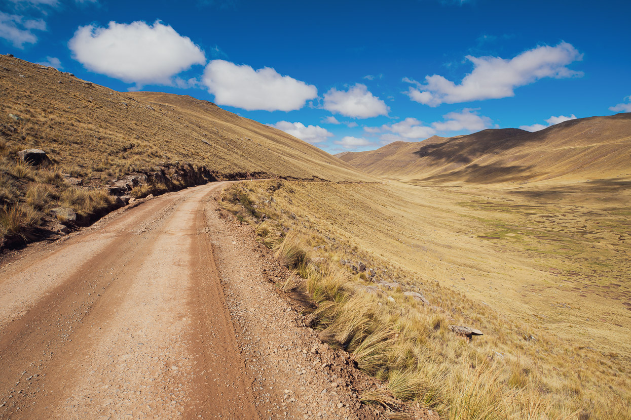
And passed through golden valleys along a fast and smooth road. Amazing touring.
Another pass and yet another change in the environment.
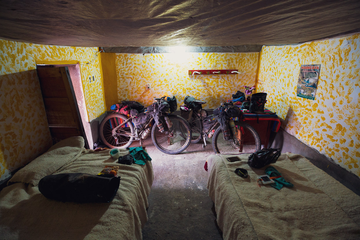
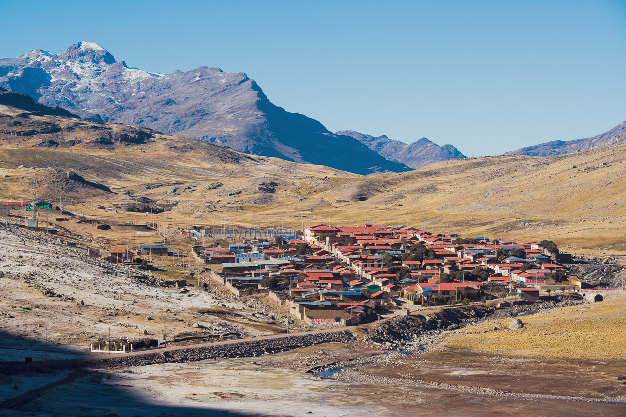
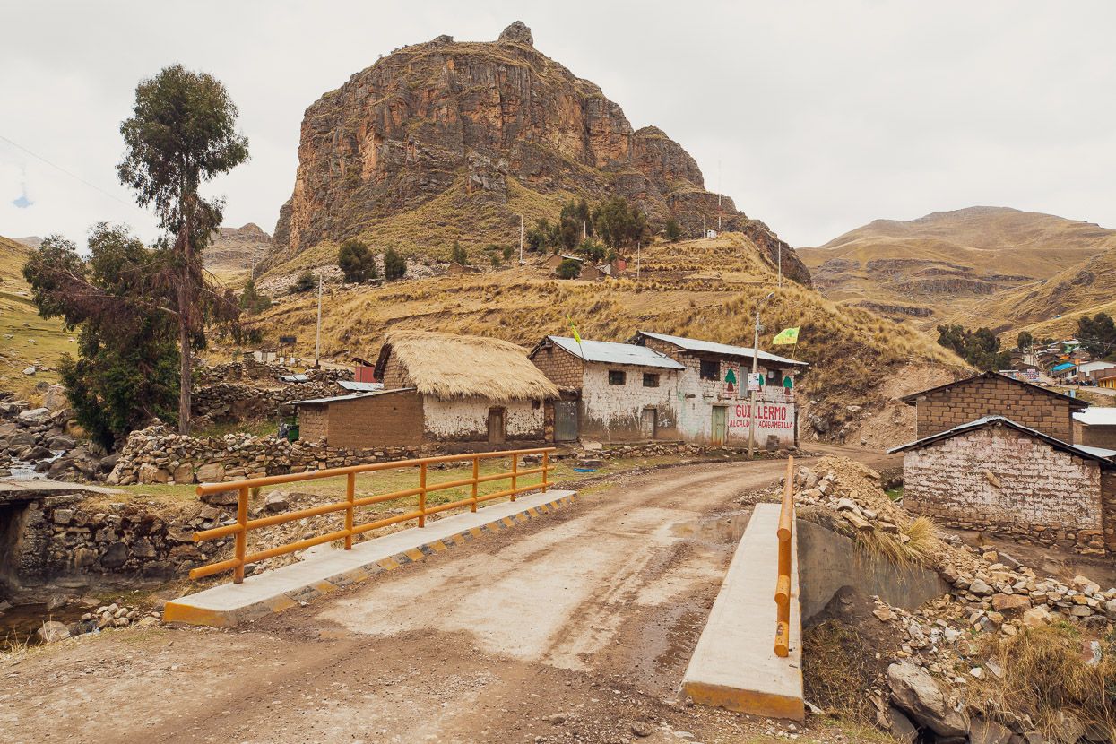
We ended that day in San Jose de Acobambilla, which didn’t appear the most welcoming of places at first. We checked into the only, very basic, hospedaje and were glad we did as a rowdy thunderstorm started not long after we arrived. While picking up some food for the next day a woman began chatting to us, which led to an invite for dinner – along with most of the village!
We’d arrived during their fiesta week, which meant communal dinners at a different person’s house each night. In the dark and drizzle we walked a couple of kilometres to a collection of mud brick farmhouses where we were sat down in a barn and fed potato and mutton soup while answering endless questions. We were treated as guests of honour and given the best chunks of meat-on-the-bone in our soup.
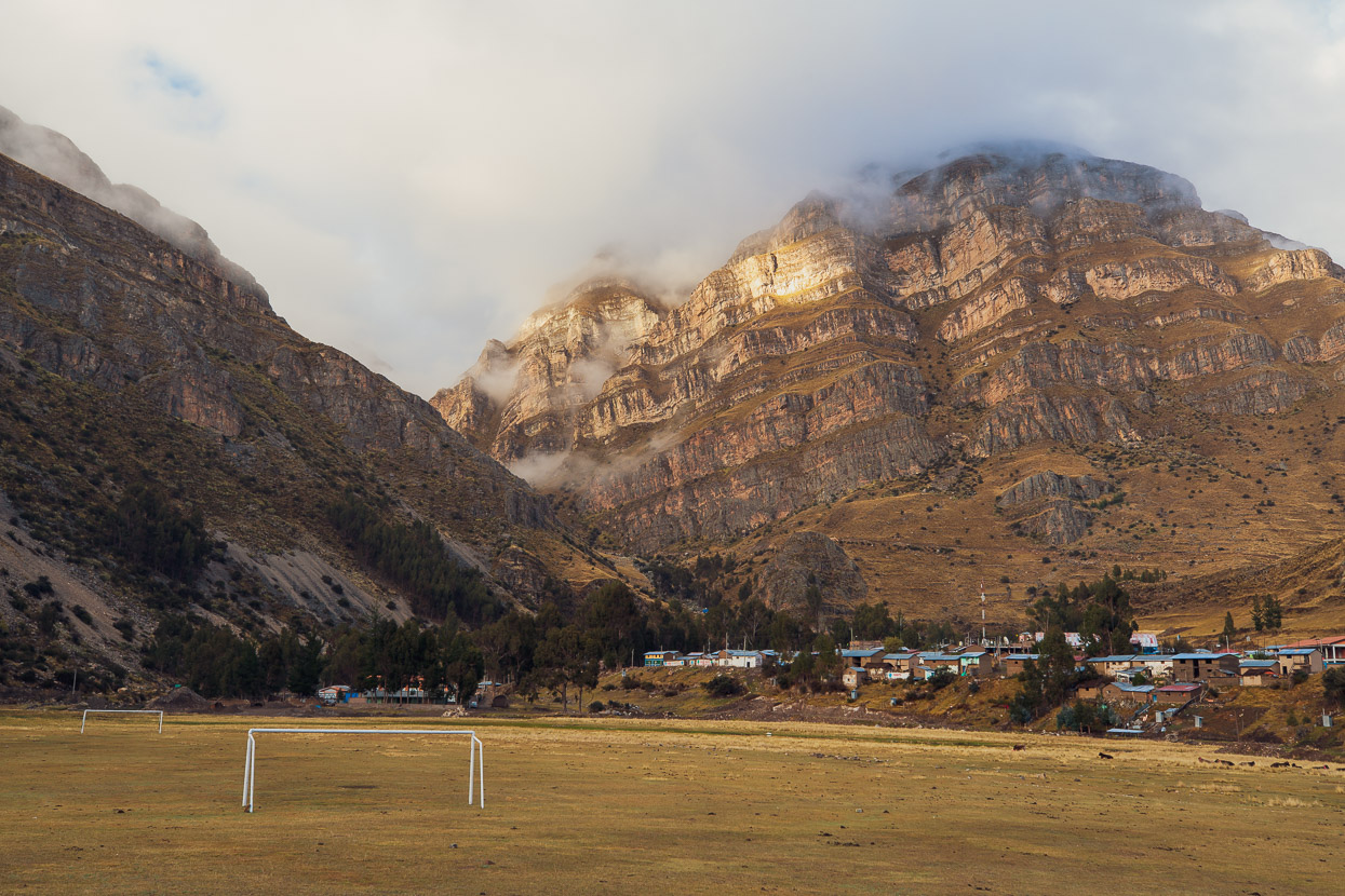
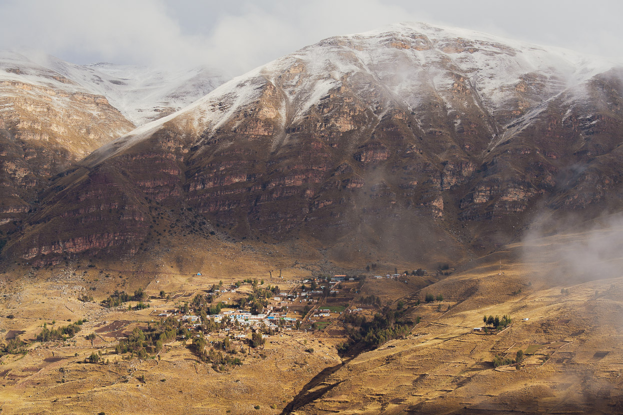
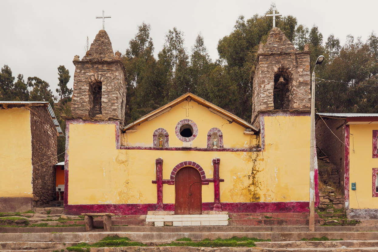
The previous afternoon’s storm had left the puna coated in white as we began yet another long climb out of the valley. Once into the next valley we passed a couple of small villages.
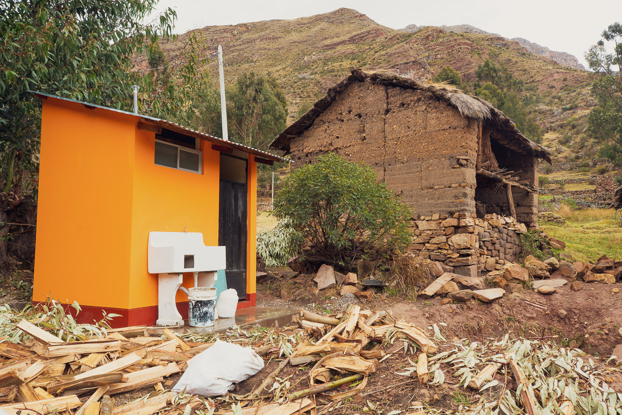
In one, the government (or perhaps an NGO?) had been installing new toilet/water/laundry blocks outside each home, something we have often seen in Peru, although they’re not usually quite so new.
One long climb separated us from the town of Huancavelica, where were looking forward to day off and to meeting the film crew who’d be accompanying us on the ride for the following few days. The road took us through a spectacular limestone canyon and then back into the open puna.
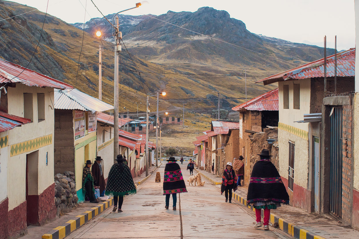
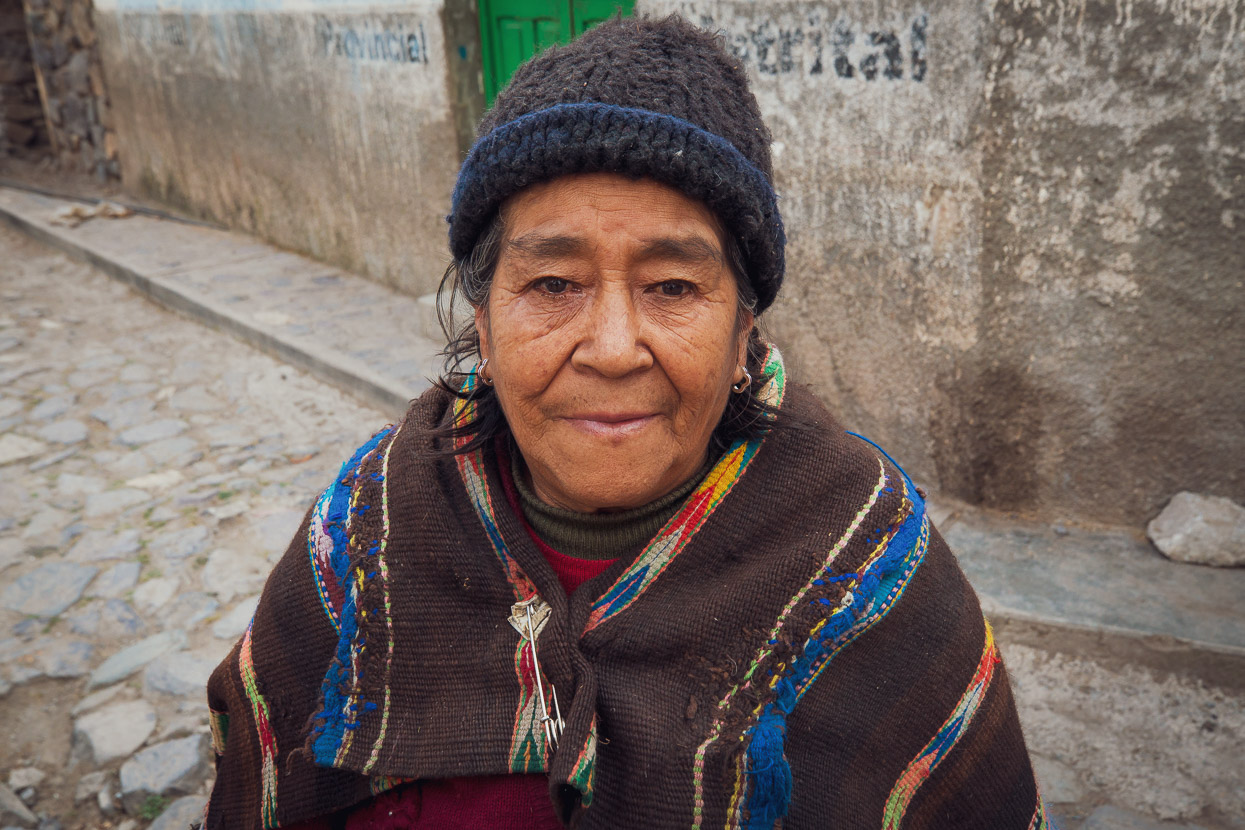
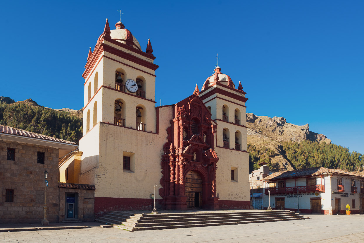
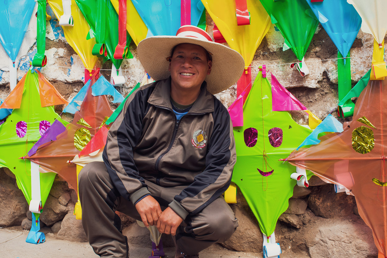
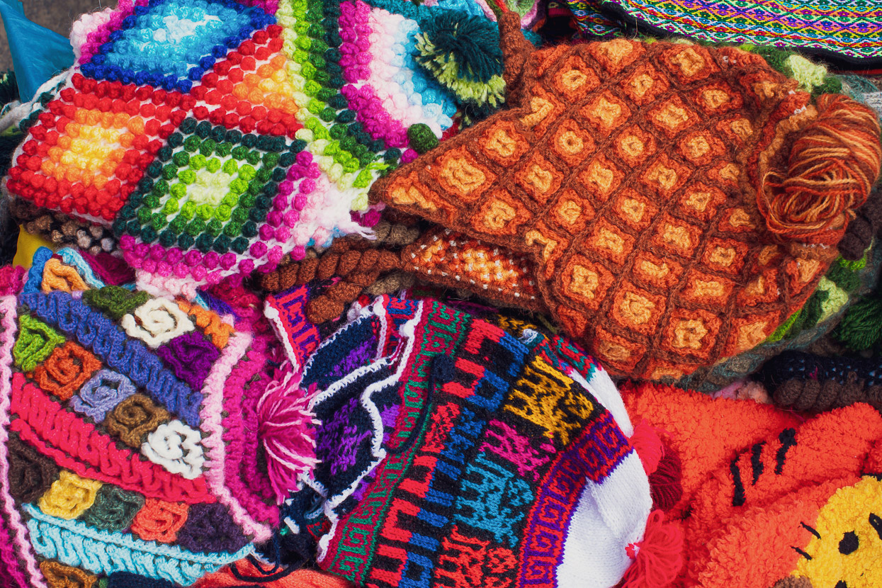
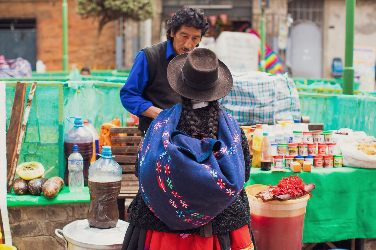
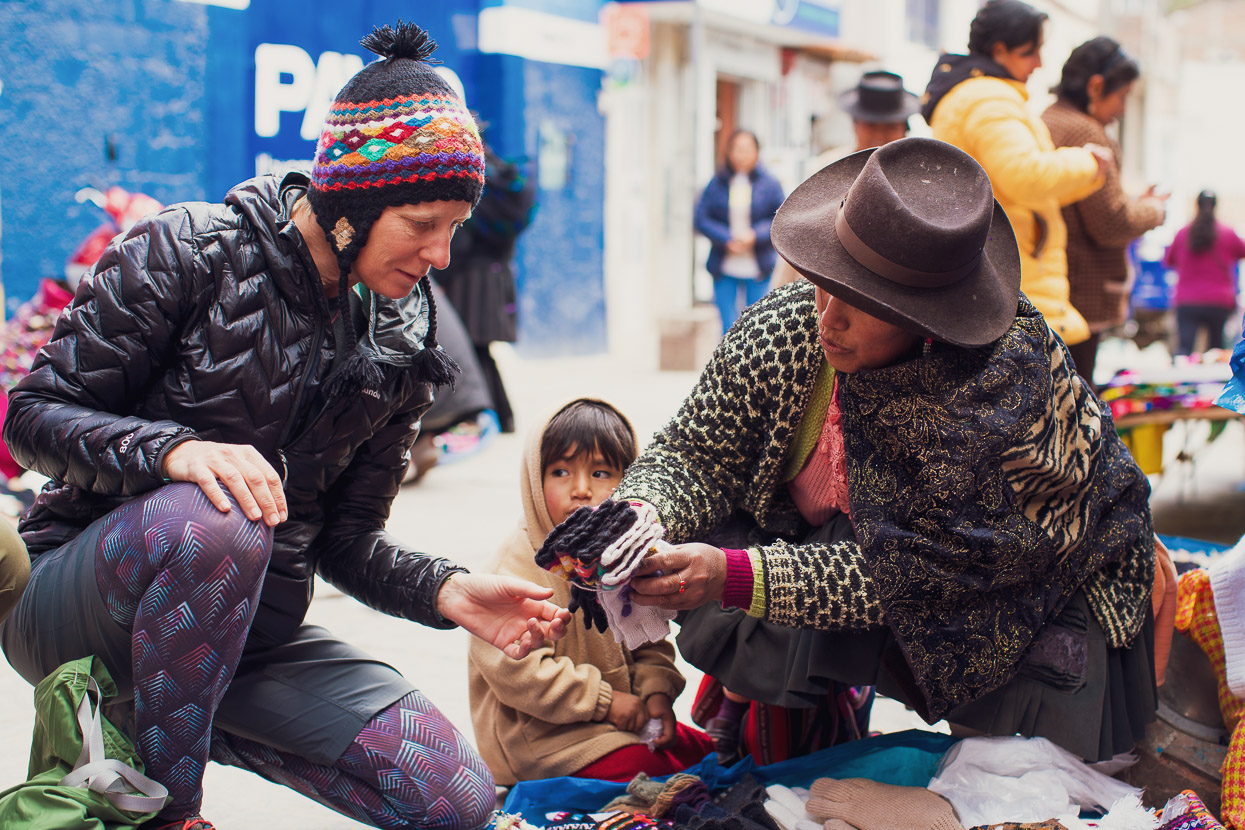
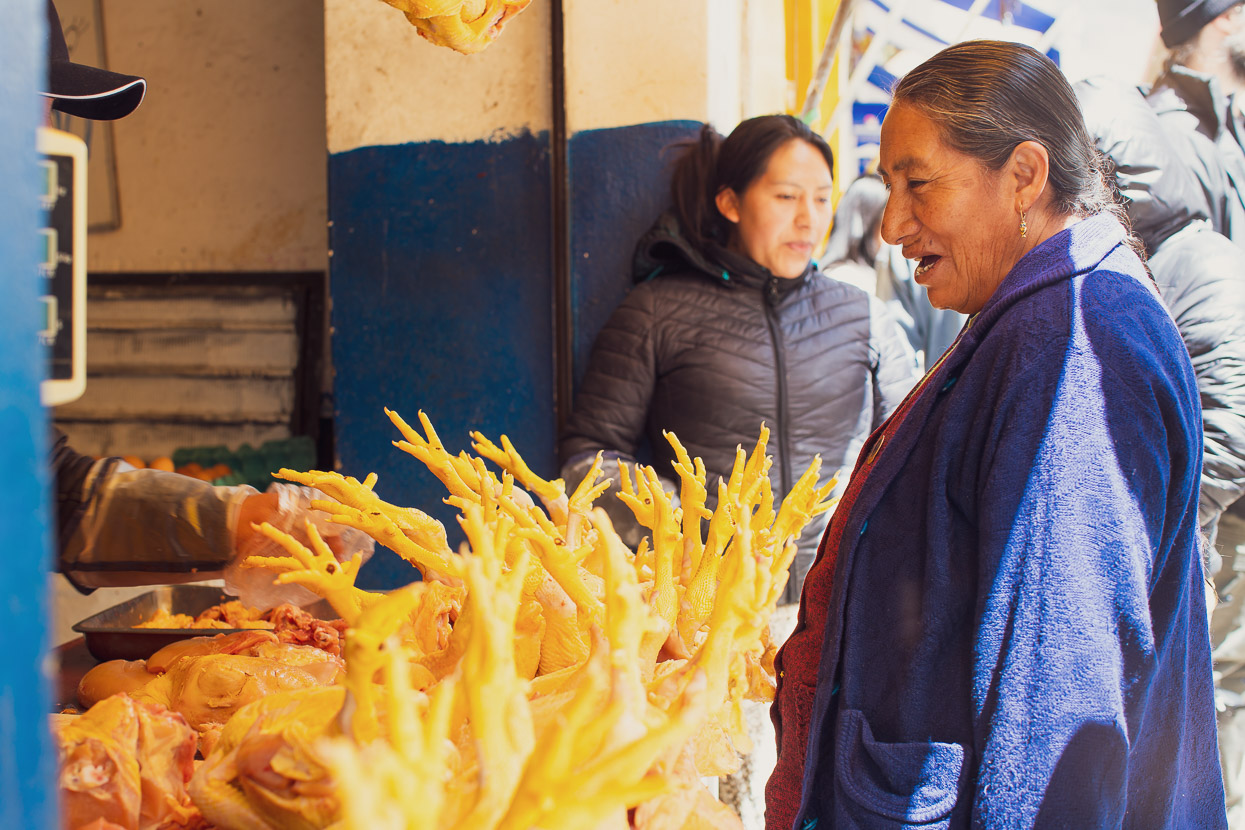
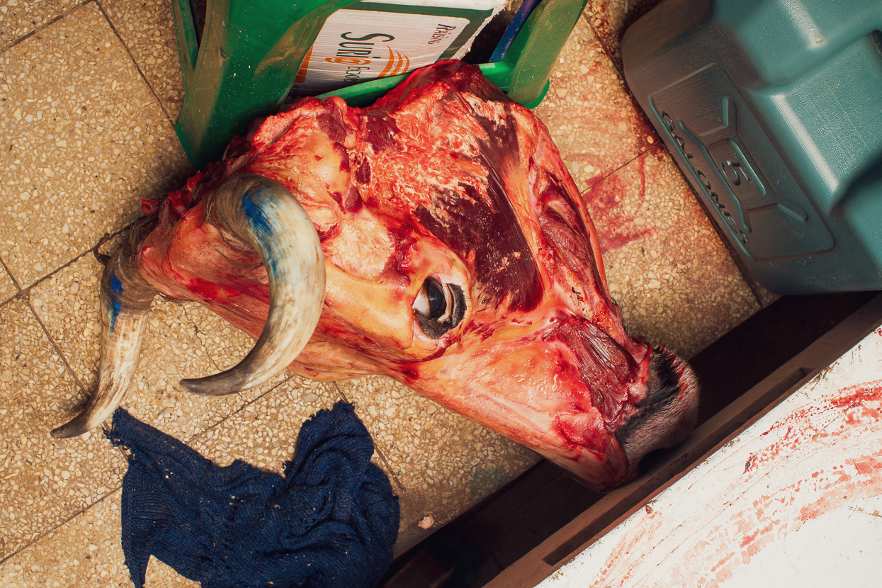
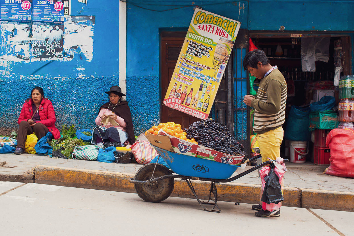
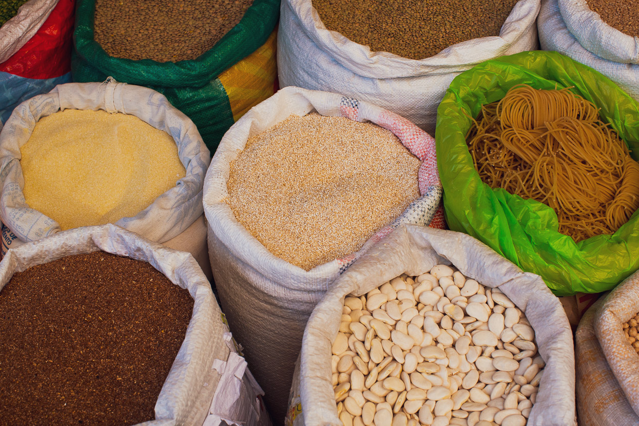
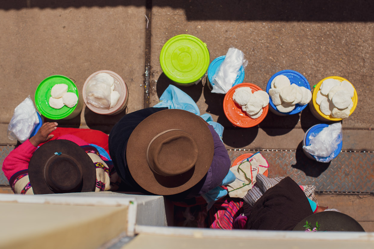
After so much time in tiny villages and the wild country of the Andes, arriving in Huancavelica was fantastic. This town was once a wealthy mining centre, and hence has nice plazas, churches and a historic charm. The population is predominantly indigenous and many people wear traditional dress. We would have liked to spend more time there, but with the crew joining us, we had a schedule to stick so had to make the most of a single day in town before hitting the road again, checking out the market and resupplying, for the next chapter of the Peru Divide.
Do you enjoy our blog content? Find it useful? We love it when people shout us a beer or contribute to our ongoing expenses!
Creating content for this site – as much as we love it – is time consuming and adds to travel costs. Every little bit helps, and your contributions motivate us to work on more bicycle travel-related content. Up coming: Gear reviews and GPX tracks
Thanks to Biomaxa, Revelate Designs, Kathmandu, Hope Technology and Pureflow for supporting Alaska to Argentina.

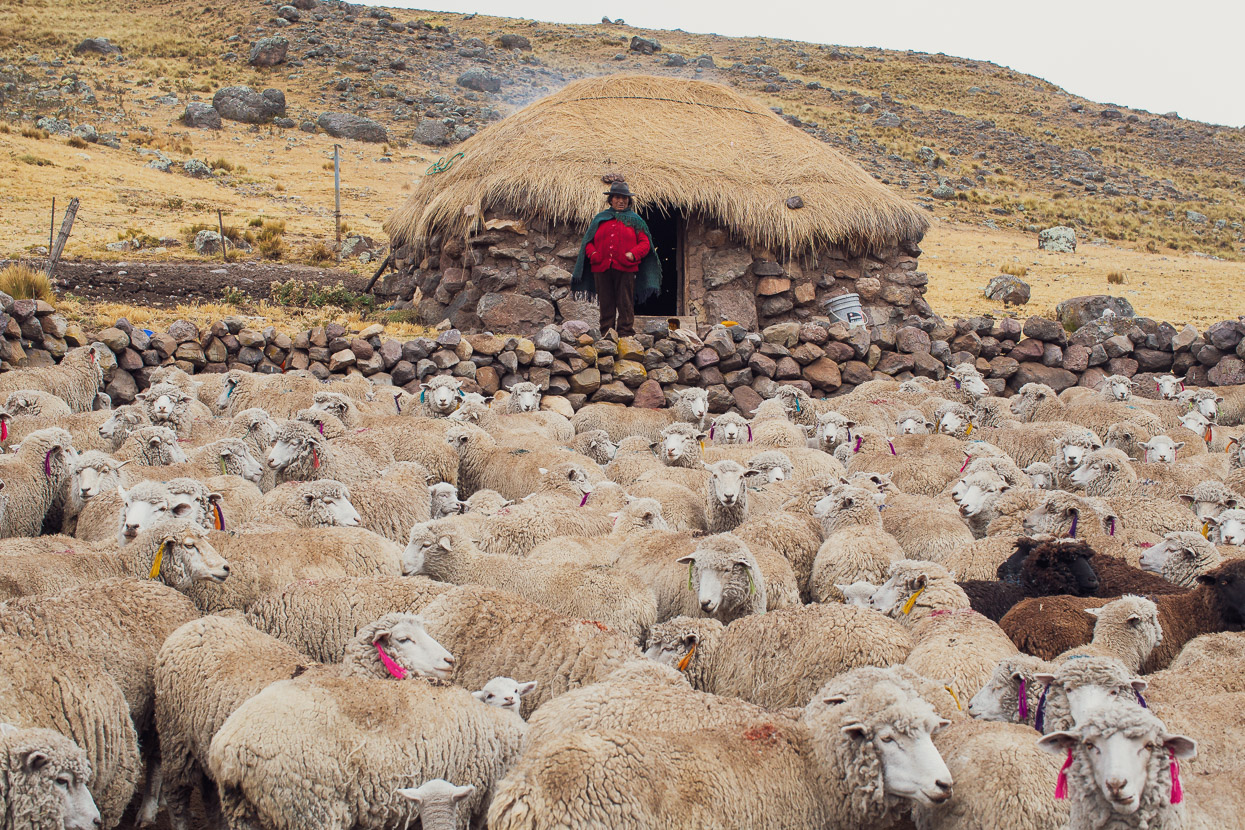


This online journal is brilliantly fascinating ! The photos & writeup, never fails to enspire & marvel; this is one of the best ! The photo of Hannah riding through the inversion layer with Mt Paryaqaqa in the background, will hopefully be on the cover of a forthcoming book ? ! It is a mouth watering shot. Strange you don’t see any donkies tethered round the Chozas, when they use them for supplies. Fascinated with the curious eartags on the sheep; so elongated. Do they put ear tags on the Alpacas ? So much of interest I could comment on. Woman knitting, spinning, VirgilWoodard; the desolate isolation where the farmers live; O. M. G. (Easy the best blog !) sent you a small contribution on Sept 10th; hope it made it into the kitty ? Keep up the good work. Yet another new hat for Hannah ? Love it all.
Hi Madge – Thanks, yes we did get the donation – always appreciated 🙂 The sheep, llamas and alpacas are nearly always eartagged, and often flamboyantly with bright colours. It’s quite neat. More soon!
So inspiring! Do you know if a little earlier in the dry season, say around July, would offer some warmer weather for this route?
Hi Matthew,
You’d have to check climate charts online, but basically the dry season is winter, so sub-freezing overnight temps are pretty much part and parcel of dry season above 4000m. July is about the peak of the dry season for the central cordillera I believe, so I don’t think it would be warmer. That said, daytime temps are generally nice. We’ve often climbed to nearly 5000m in t-shirts, and then don warmer clothing for the descents. It’s when it’s cloudy and when the sun sets that it gets cold.
hi mark and Hana , it really is an amazing route, thanks for your ongoing effort to record your journey. Wonderful to see other folks roaming and exploring on bike or foot. Provides continual inspiration for our South American cycle, flights booked and ready to roll in January next year. Cheers simon