Canyon Country.
For the past three days we’ve been resting, sightseeing and catching up with chores in the city of Cajamarca, reputedly one of Perú’s colonial finest.
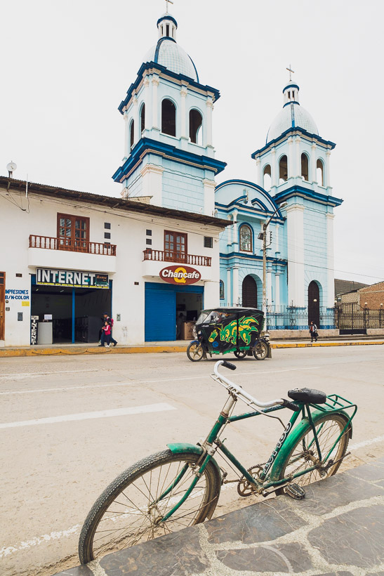
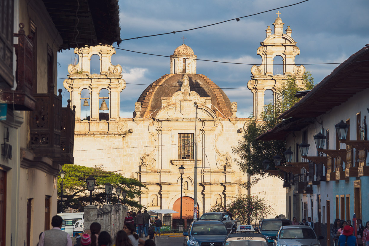
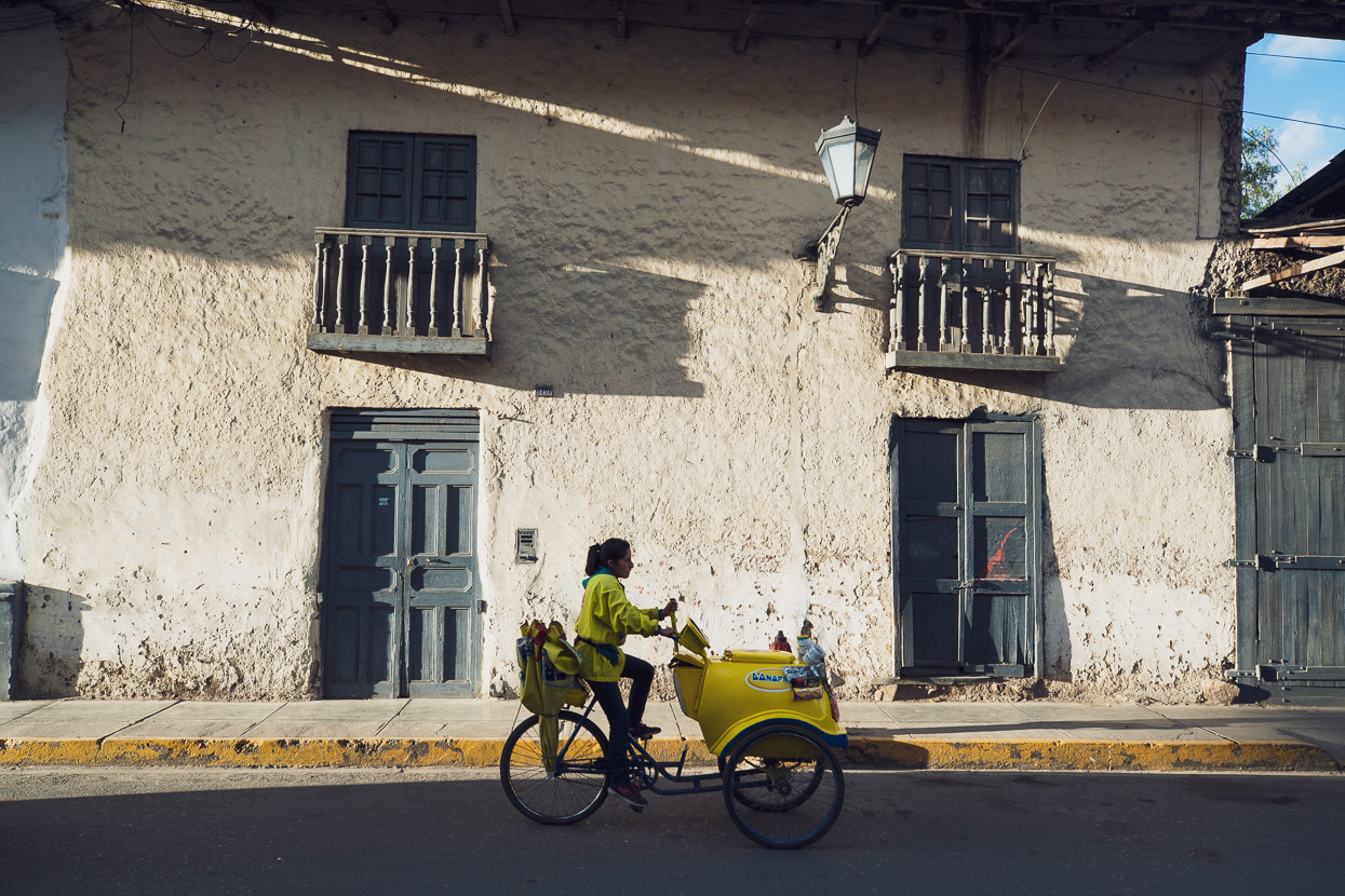
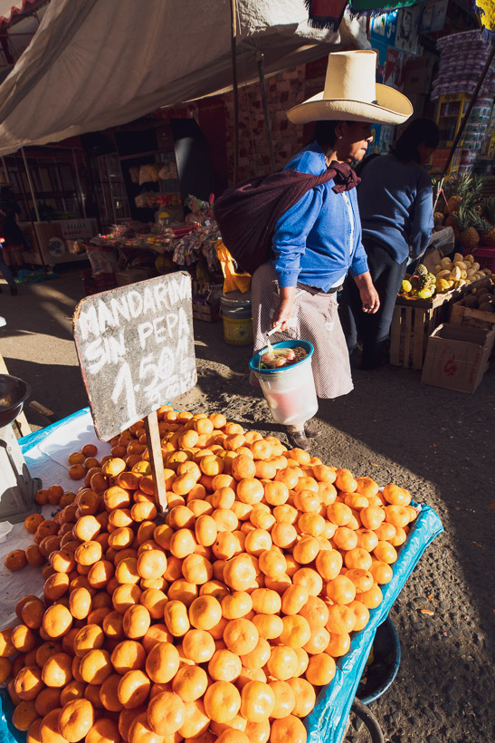
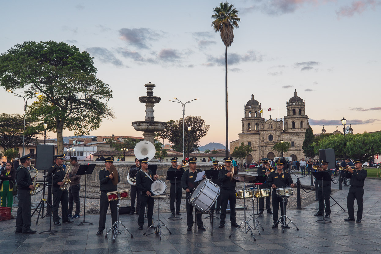
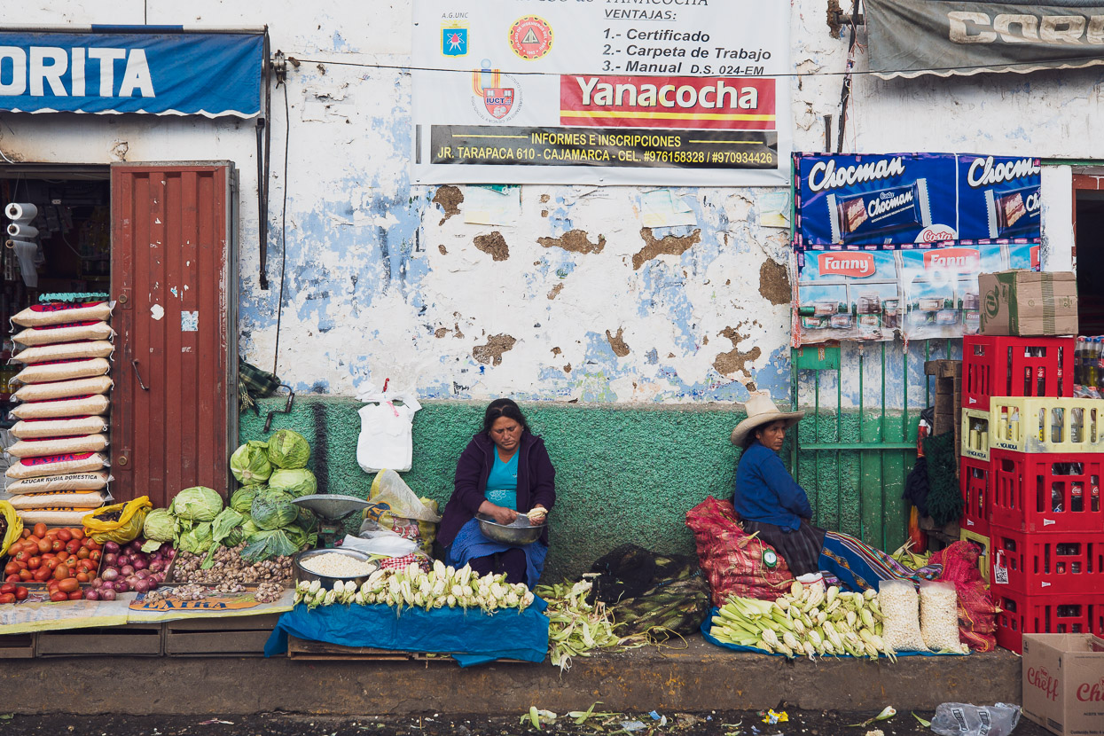
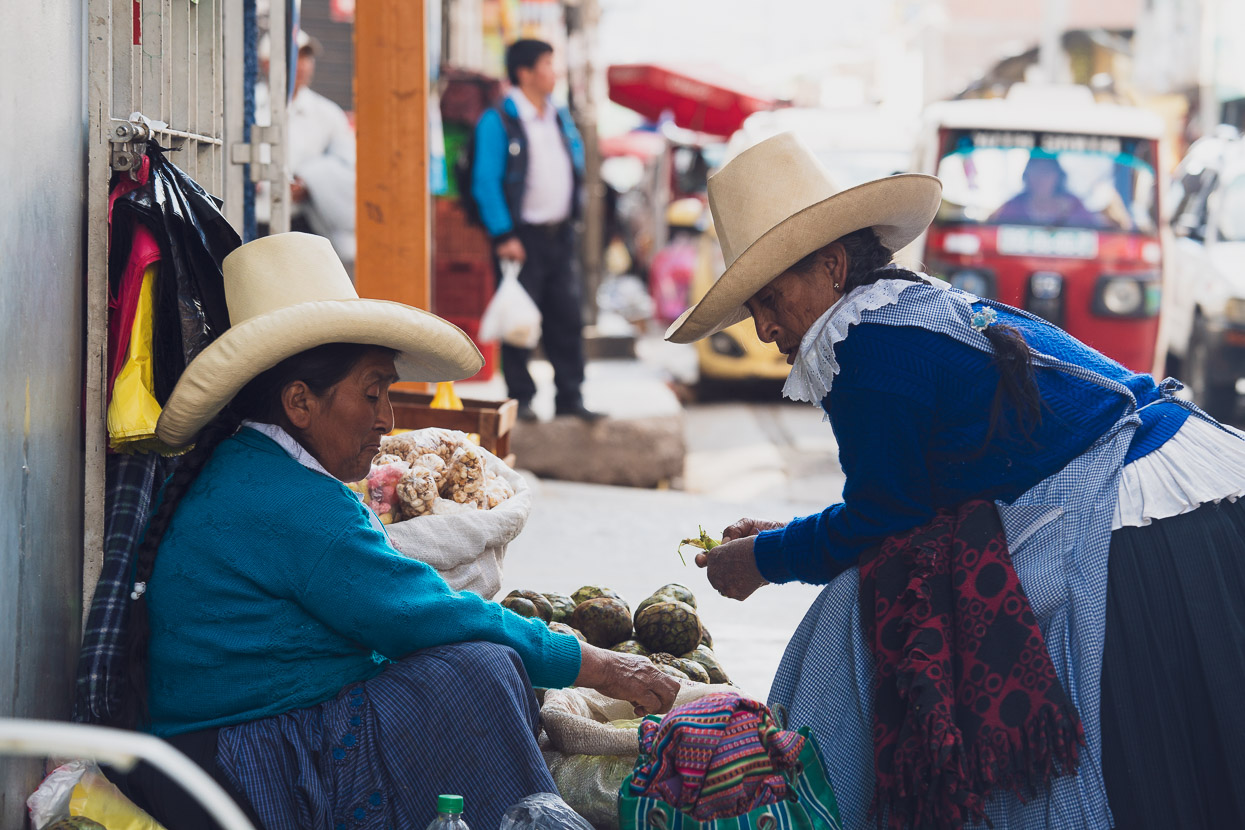
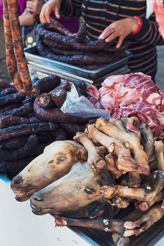
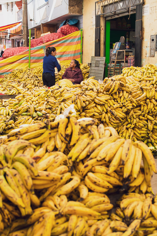
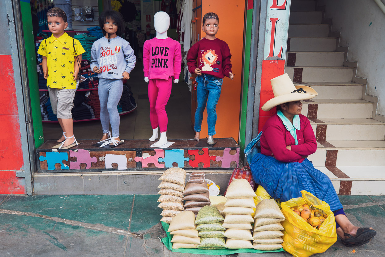
It hasn’t taken me three days to form an opinion on this place though and by the end of day one I’d declared Cajamarca my favourite city so far in South America. The likes of Cartagena, Bogota, Quito and Cuenca have all had their good and bad points, but Cajamarca seems to earn more ticks than crosses in my mind. I’ll put it down to the pleasant climate and the city’s lively combination of colonial poise, sprawling street markets and indigenous culture. We only have to step out the door of our hotel and women in improbably large hats and colourful shawls are trading guinea pigs on the crowded street, yet walk for 15 minutes to the historic Plaza de Armas and you’re in a spacious square surrounded by traditional buildings, baroque churches and watched over by police in impeccably smart uniforms. Walk just half a block from the square and you can buy a full meal for less than five dollars.
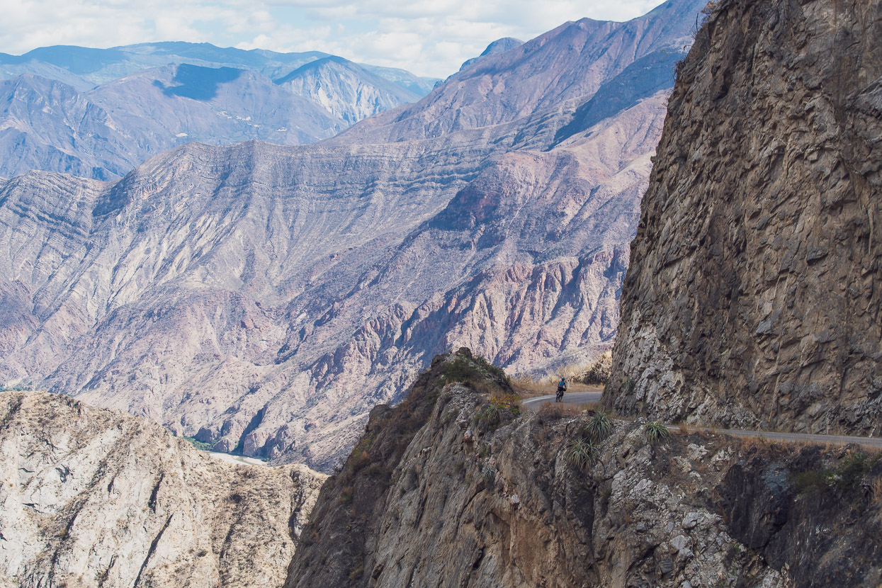
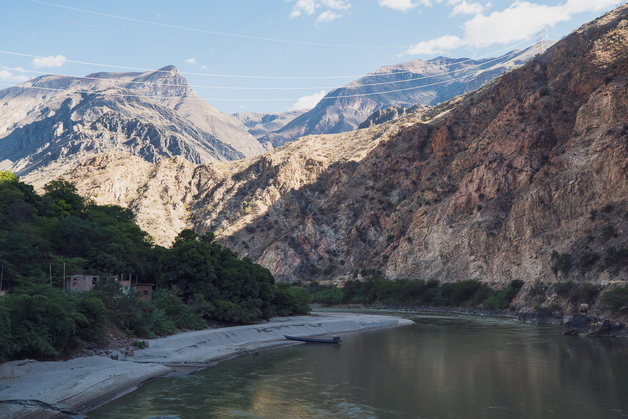
Getting here’s been no holiday though, as en-route we’ve dropped into and climbed back out of the deep canyon of the Rio Marañon – entailing a 60 kilometre freewheel and then an all-day climb to escape its baking temperatures. These kind of gargantuan descents and climbs are one of the hallmarks of touring in Perú.
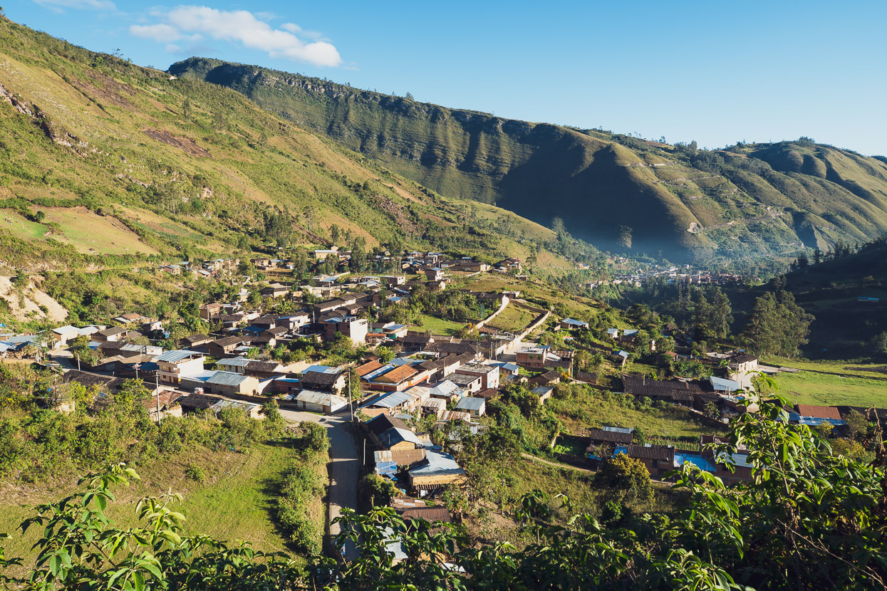
Looking back down on the warm green hills of Leimebamba as we pedalled out early in the morning.
We were straight into a 1300 metre climb out of town, steadily gaining height and great views over a mountainous landscape.
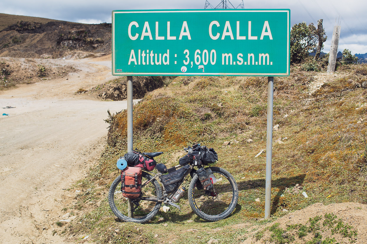
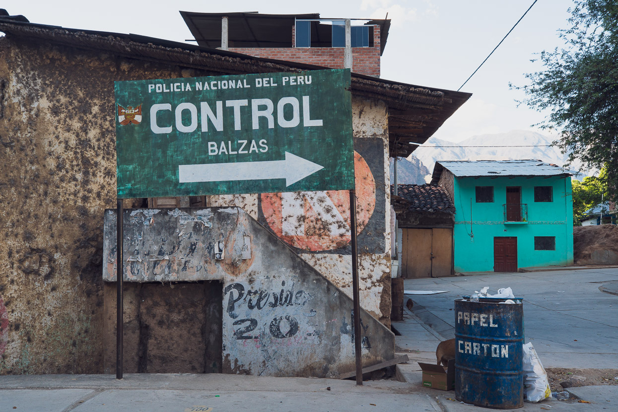
We topped out at 3600 metres to a cold wind and 10 deg C. Before us lay the longest continuous descent we’ve made on our bikes: 60km and a 2800 metre descent down into the depths of the Rio Marañon Canyon at Balsas.
Our moving time for the descent was 2.5 hours – it’s that long and windy. It’s a long time to coast for.
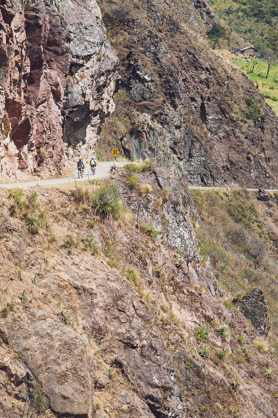
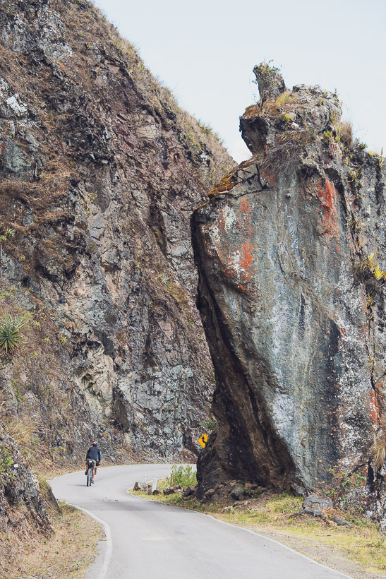
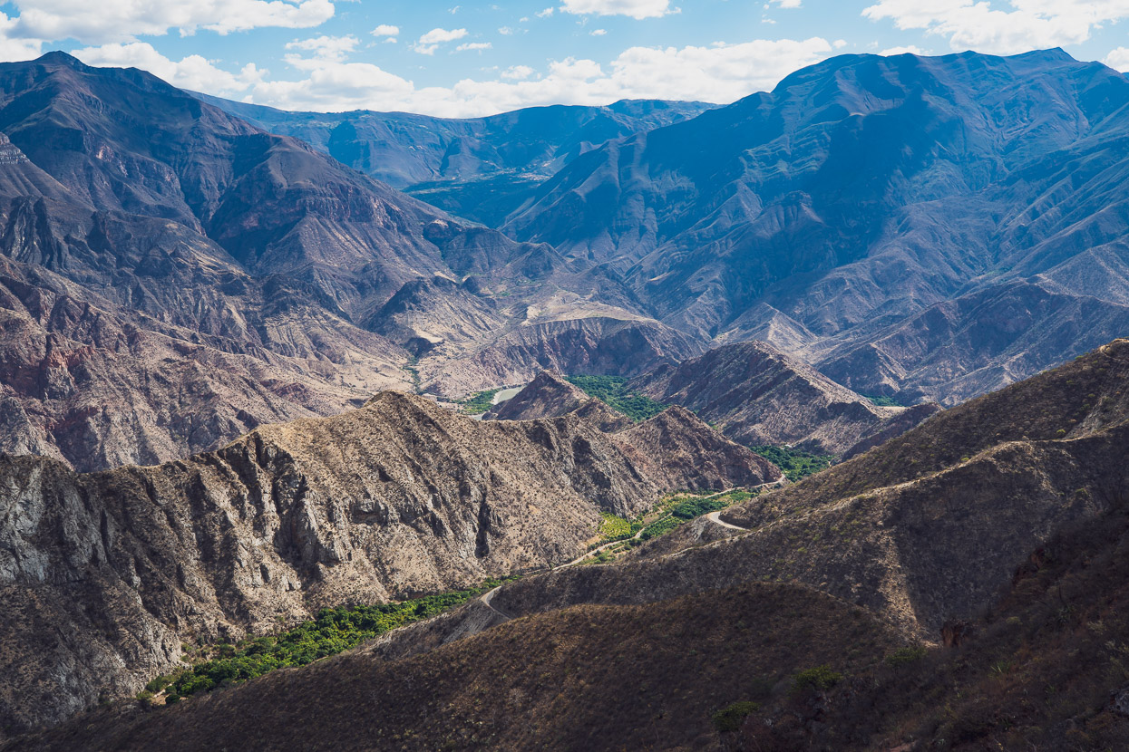
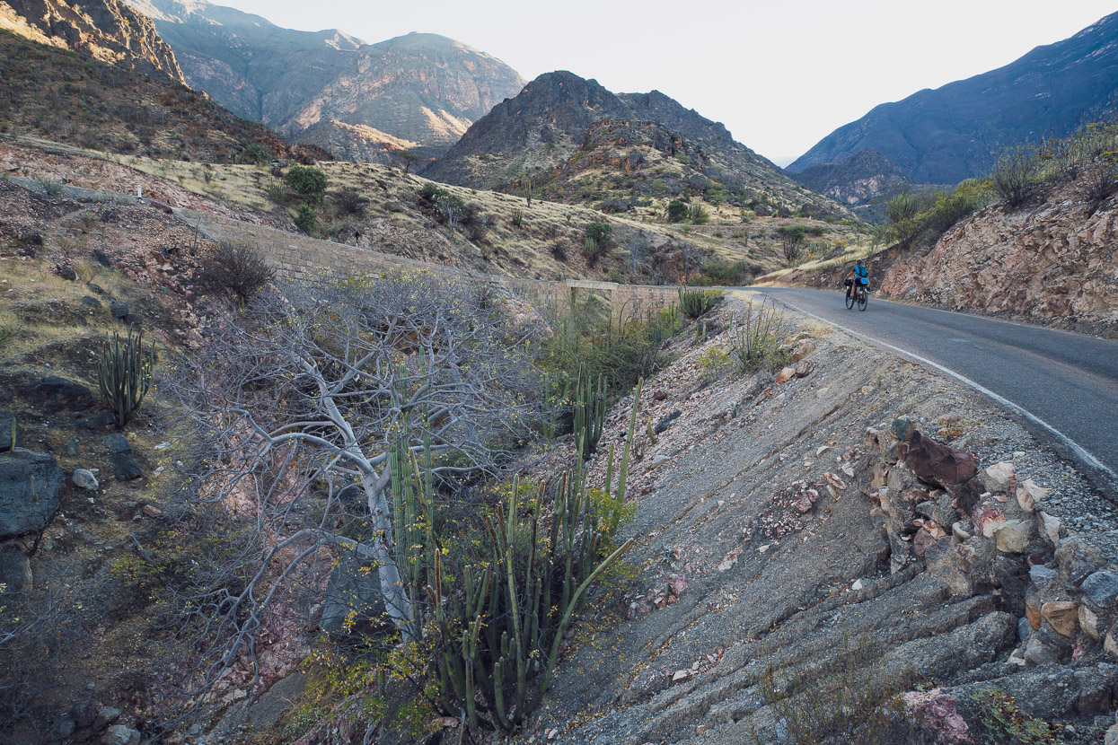
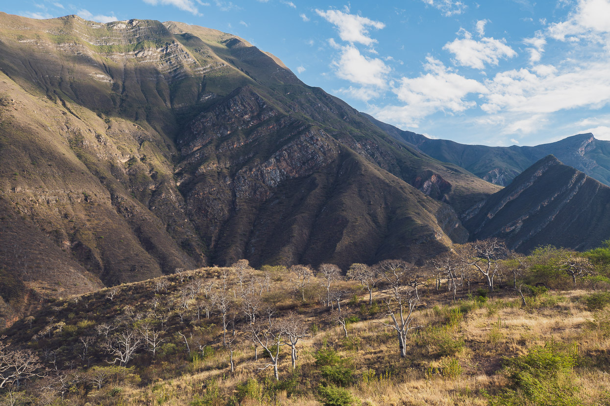
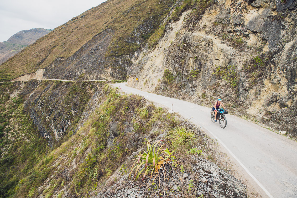
The further we dropped the more rocky and barren the landscape became. It’s bit like descending into the Grand Canyon and witnessing the layers of the planet’s rock as you go: sandstones, limestone and gneiss.
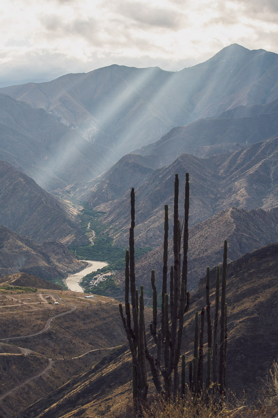
Still dropping, but by now the temperature had doubled and the grass was replaced with harsh scrub and cactus. The green oasis below, as we realised when we finally rode through it, was almost entirely mango trees.
It reminded me of Nevada’s Death Valley.
By the time we hit rock bottom the mercury had reached 34 deg C. It was a dry, penetrating heat – the kind that evaporates the water in your mouth while you pant your way up hill.
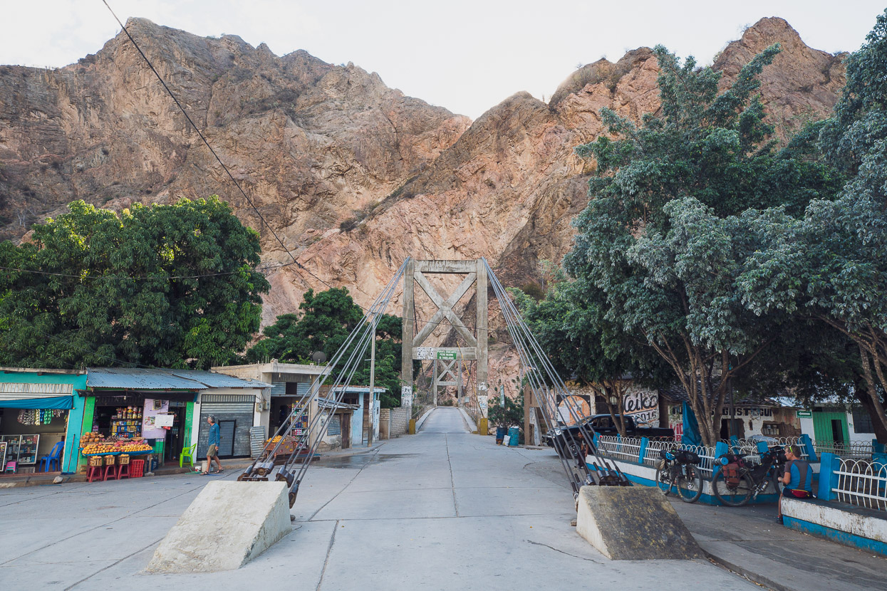
We planned to camp somewhere up the other side of the canyon but at 3pm it was too hot to ride uphill, if you could avoid it, so we sat in the shade of the plaza, drinking coke and eating mangos while we waited and hour and a half for the climb to go into the shade. We also loaded up with a few litres of water each to get us through the evening and following morning.
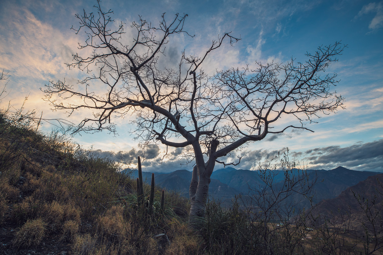
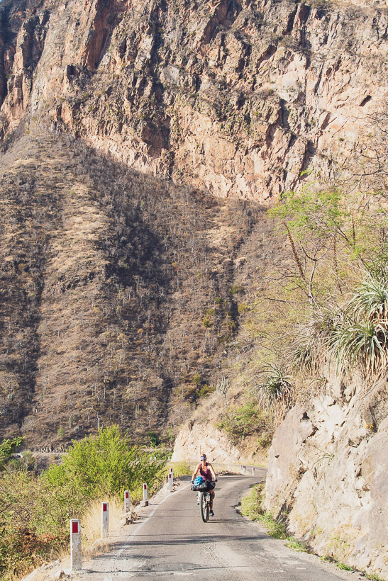
Even in the shade we sweated our way up about five kilometres of climbing until we found a reasonable campsite on the edge of a quarry on the right side of the road. The slower pace gave us a chance to take more stock of the surroundings: dozens of variety of cactus, stocky white-barked trees and all manner of thorny things.
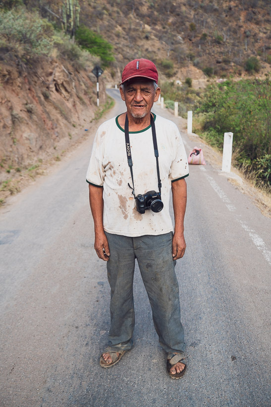
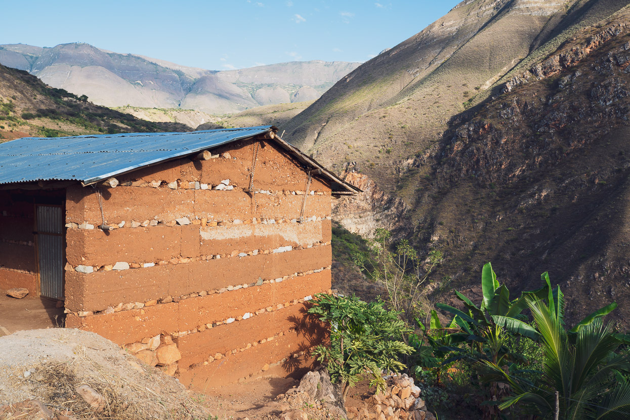
On the way up met met Antoñino, a campesino, who very unusually had a camera (that worked) around his neck. He even took a photo of us! He said that cyclists sometimes camp at his mud brick home by the side of the road. When we talked to him he was off up the road with a big cold chisel to break up rocks for the day.
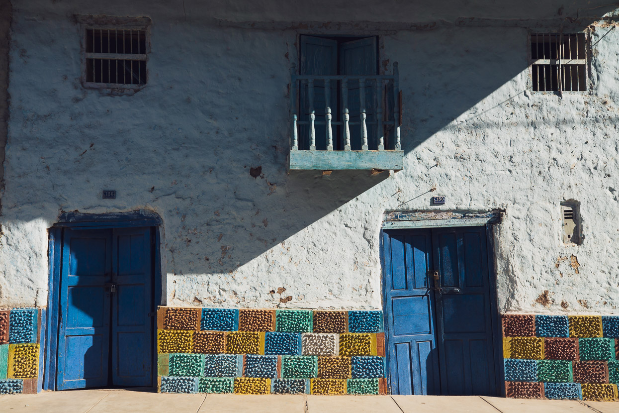
Along with mud brick and adobe-style homes, we’ve started seeing these distinctive rammed-earth walls, layered with stones.
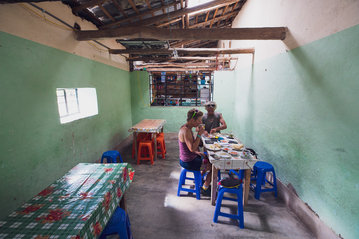
After a couple of hours of steady climbing we stopped at a restaurant and tienda for second breakfast. This is the first restaurant you see on the climb and it’s about 19km from the Balsas bridge. We restocked on water too, from their local source, which they said was drinkable.
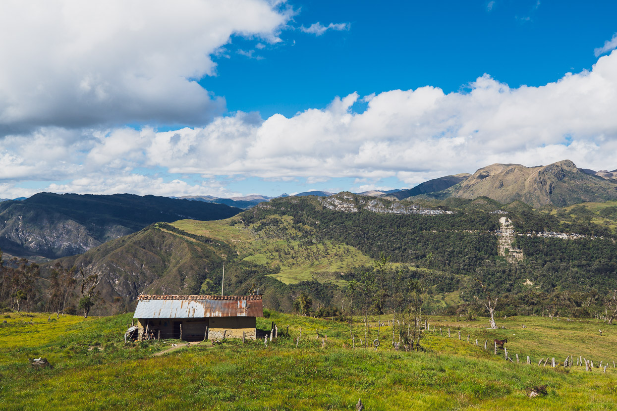
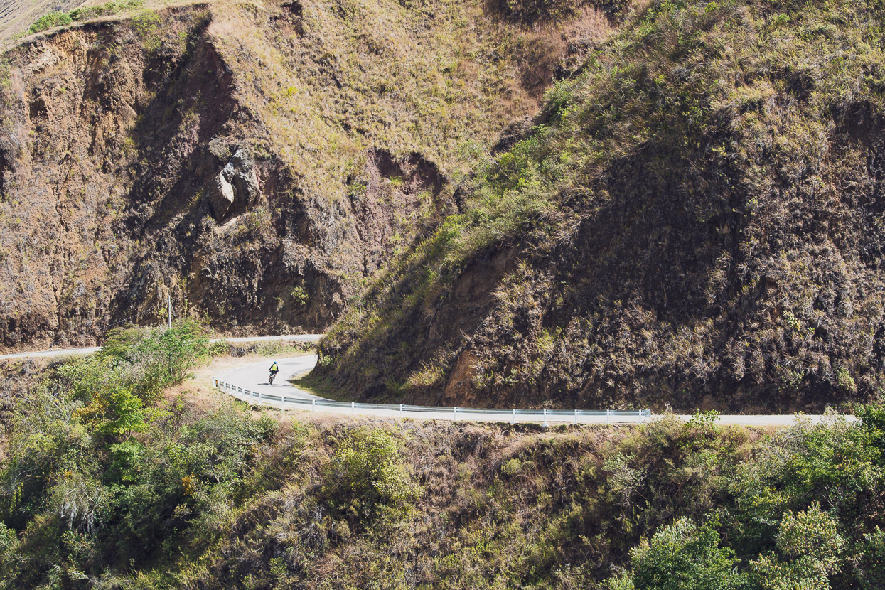
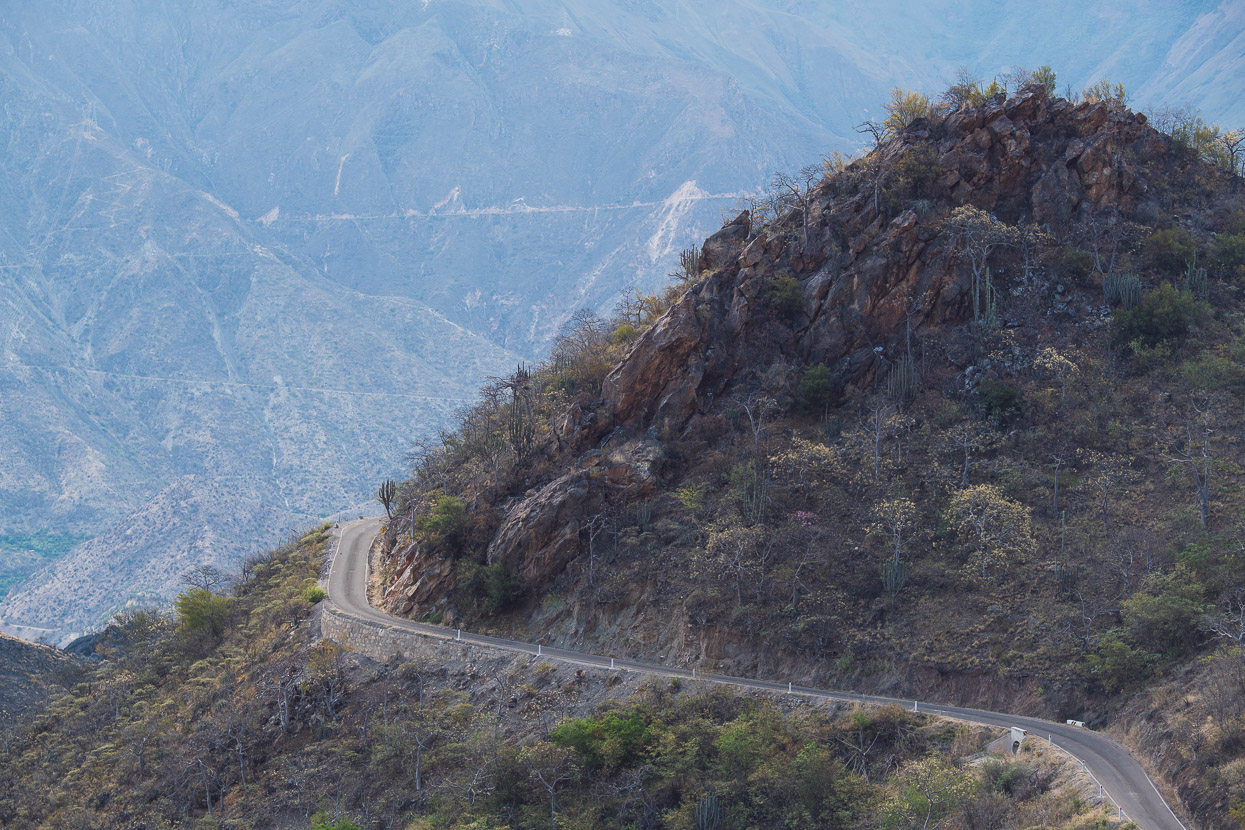
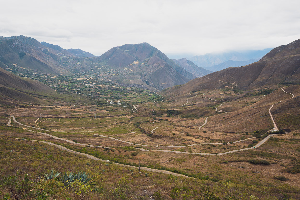
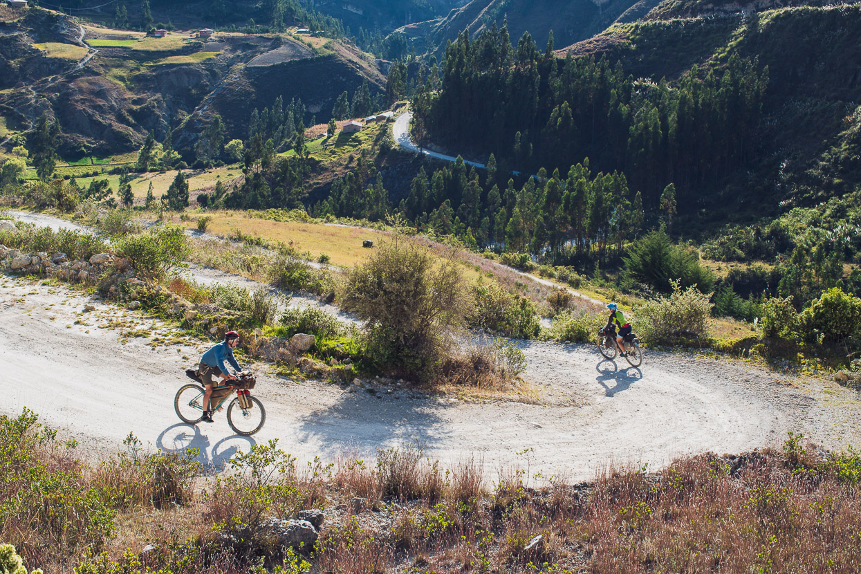
The upper valley opens up and the road switchbacks lazily up the mountainside.
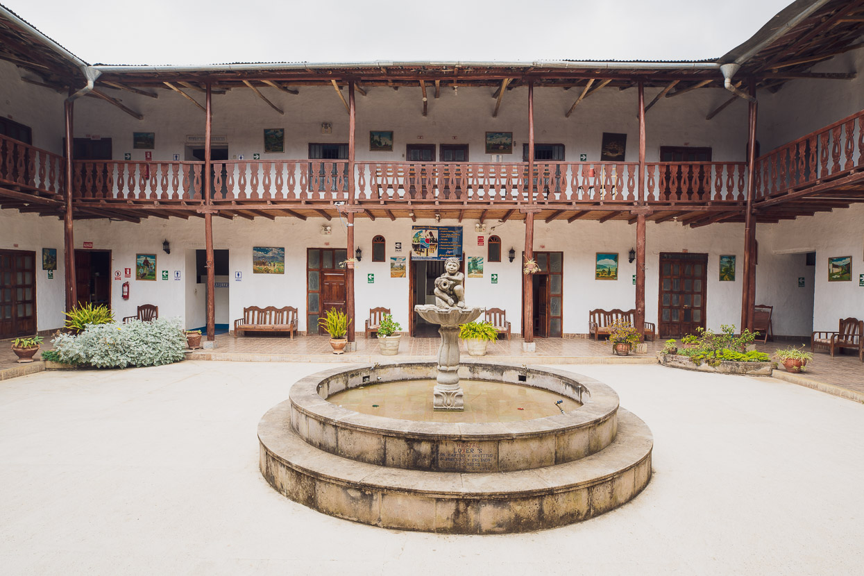
We topped the pass finally after about five hours of climbing and then dropped 15 kilometres down more pavement into Celendin, where we checked into the Hotel Loyers, a budget place (of course), with a nice colonial-style courtyard. Sadly it was all looks: the wifi didn’t work and hot water was a gamble.
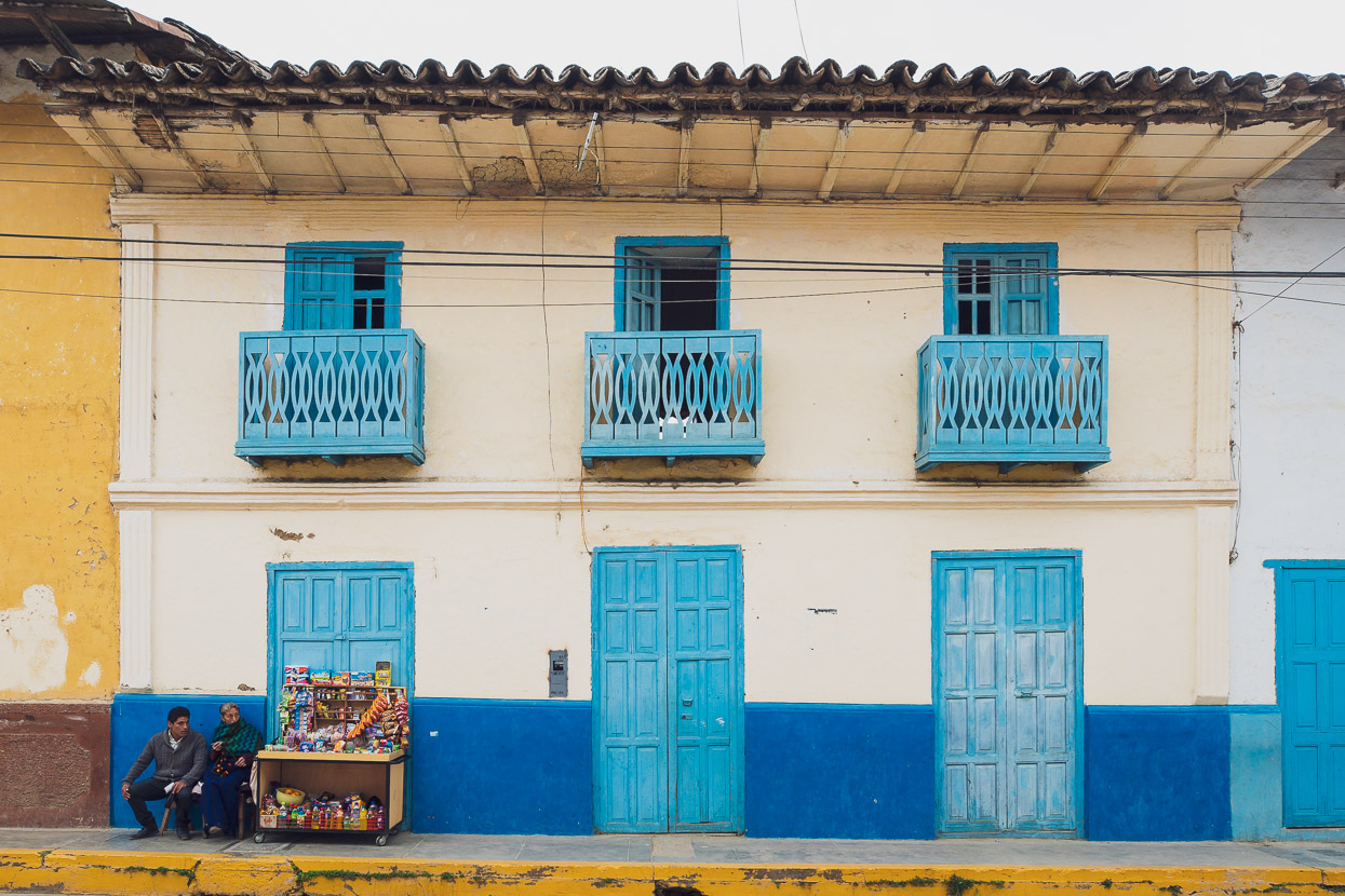
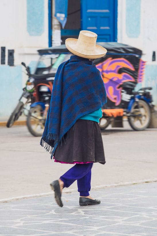
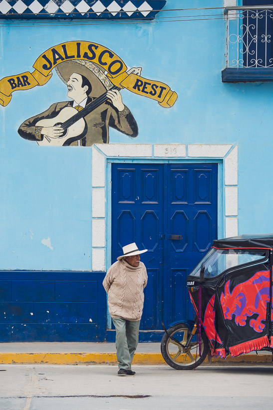
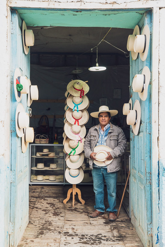
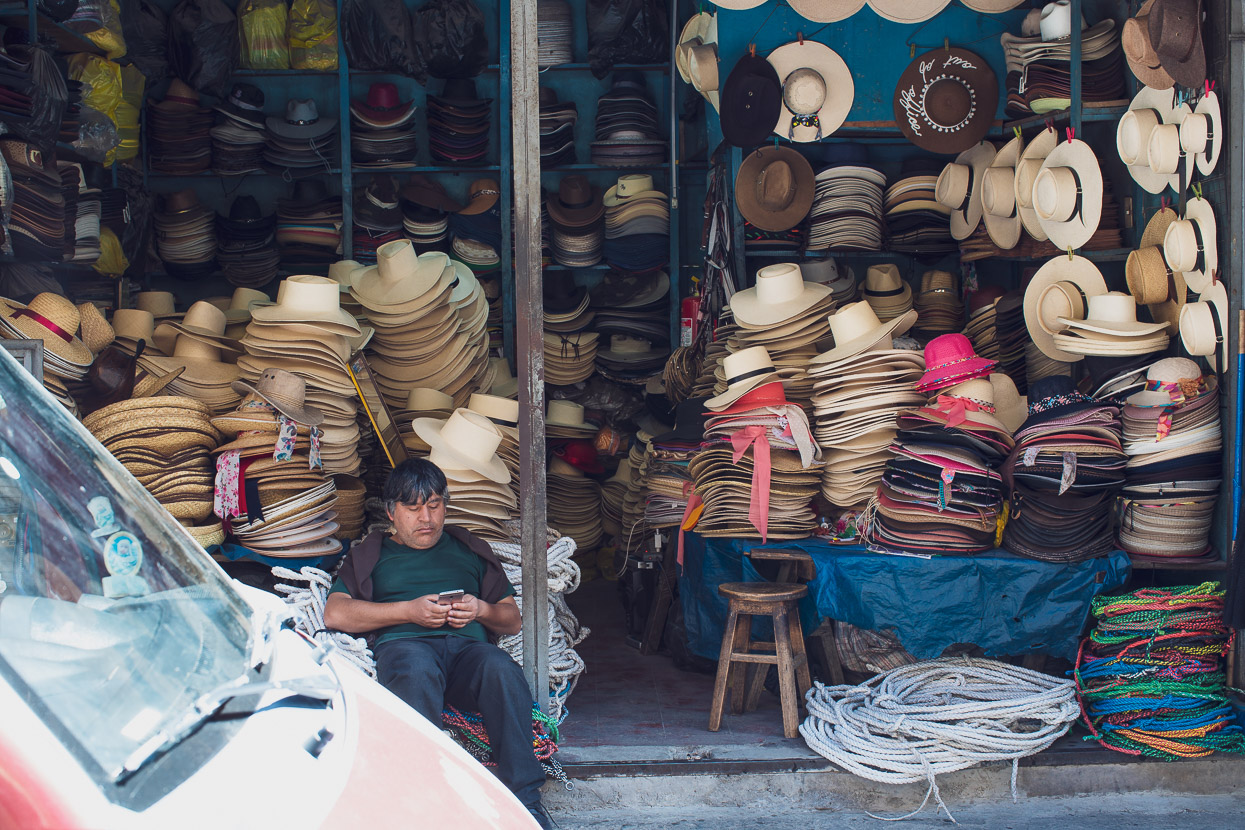
I quite liked Celendin. It’s a traditional Andean town – first settled by the Spanish – with plenty of older buildings, lots of character and a reputation for big hats. These wide-brimmed, tall hats are a distinctive sight of the region and are made from tightly woven toquilla straw – a tussock like plant that grows in the highlands.
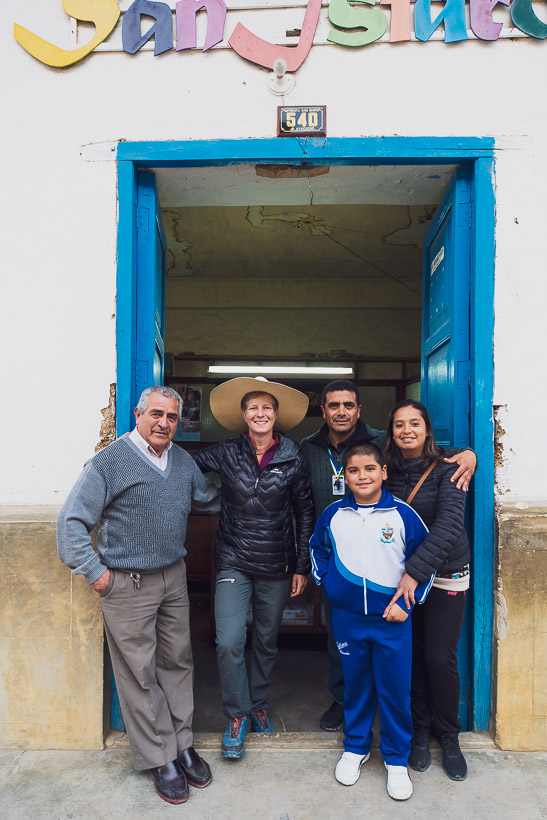
Wandering the streets, taking photos, we were invited into the shop of one family who enthusiastically showed us their hat collection and lots of local photographs.
We’re always on the alert for good looking dirt alternatives and found a classic ride that kept us off the highway for the first 20-odd kilometres out of Celendin the next day. This road passes through Sucre and then climbs about 600m (rocky at first but a casual grade) to rejoin the highway at Loma del Indio – well worth it for nice views over the valley and zero traffic.
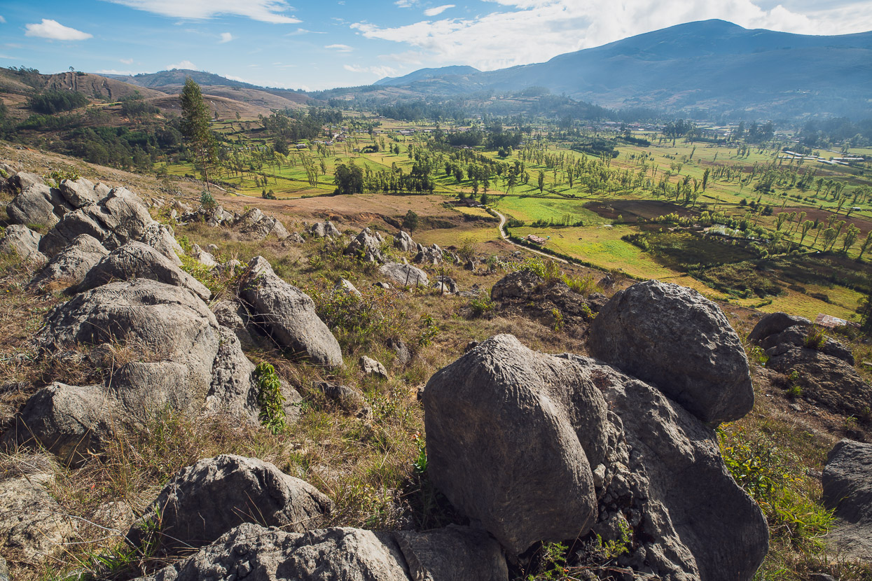
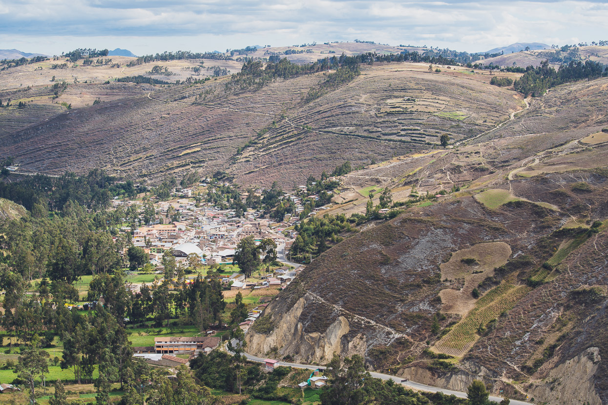
The wide and paved (but quiet) highway 8B took us through to Encañada. It’s a really pleasant ride past parched fields and small communities. At Encañada (in the valley above), we turned off onto an old footpath that I’d spotted in Ride With GPS that connected to the road system that serves the ridge and next valley over. It’s the narrow dirt path that climbs from right to left in the top third of this photo.
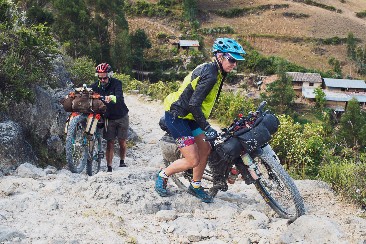
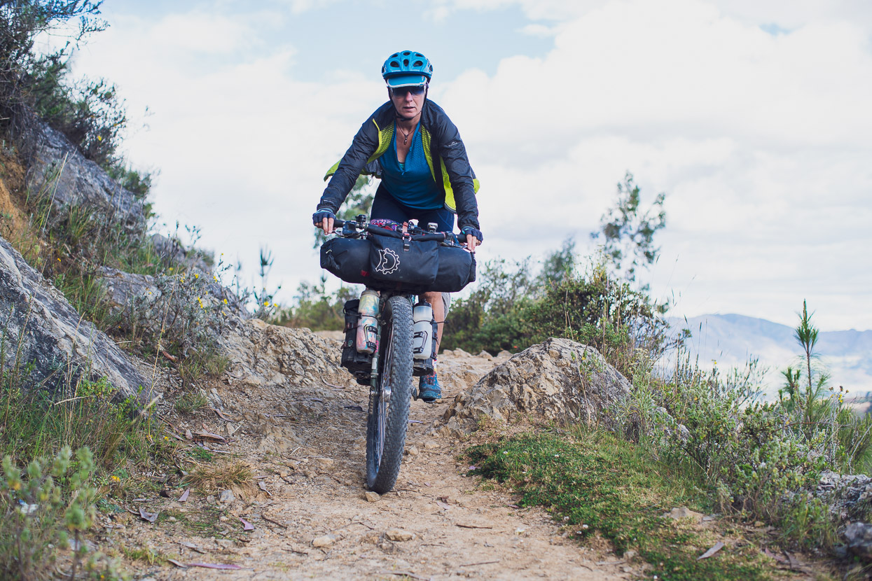
There was a moment of ‘Where are you taking us?’ as we grovelled on tired legs over some short rocky bits, but the route is mostly rideable and soon popped us out on a dirt road on the ridge.
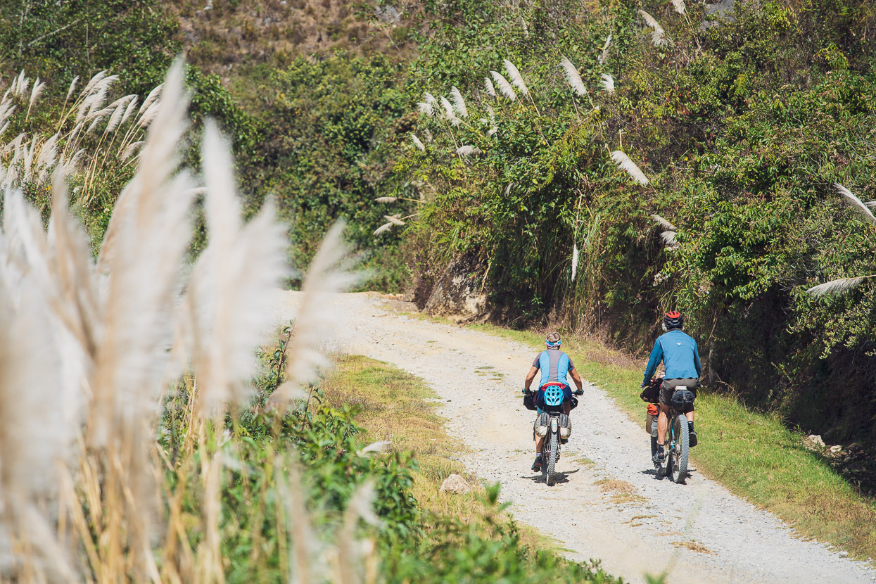
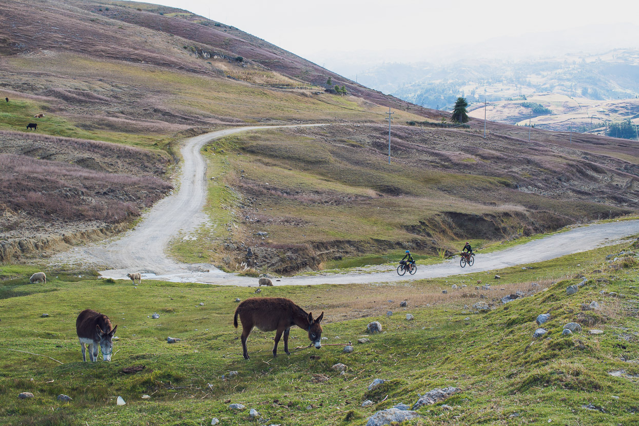
It made the perfect end to a longish day – rolling downhill through peaceful, sunny farmland and not a car in sight.
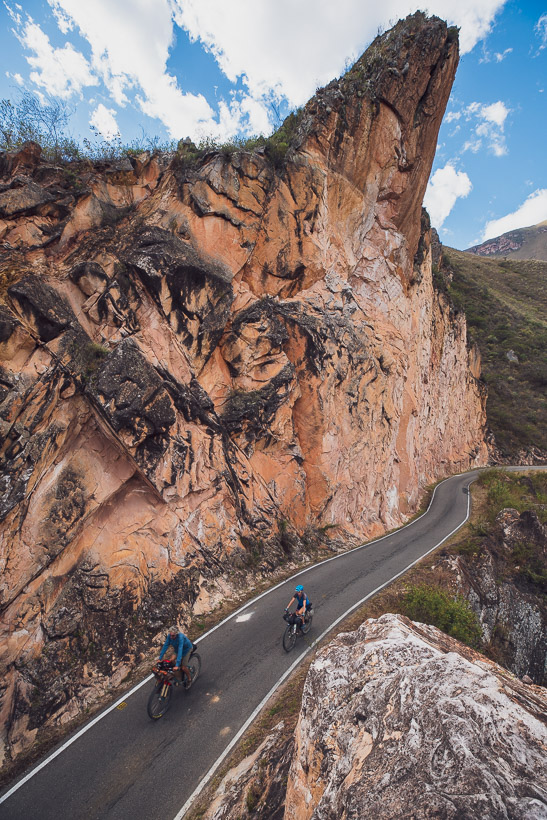
Eventually we dropped into a steeply walled limestone canyon and followed that down valley towards the outskirts of Cajamarca, where we were soon jostling with the mototaxis and constant speed bumps – but it’s a direct route and we were in the city soon enough.
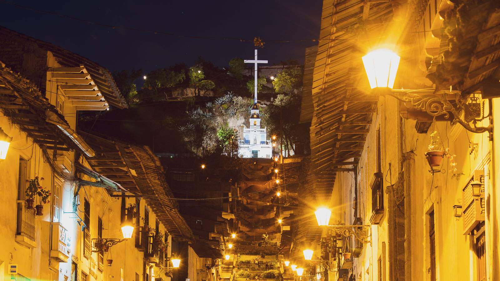
And a beautiful place it is.
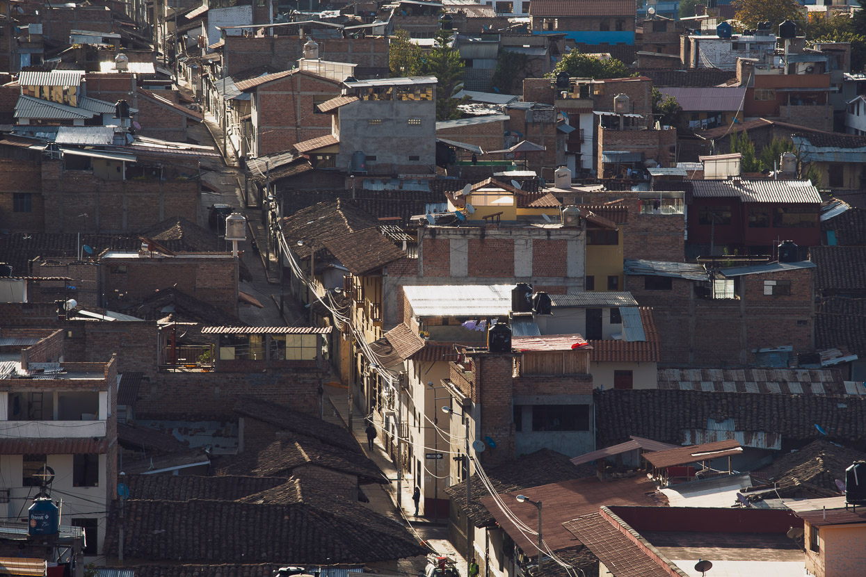
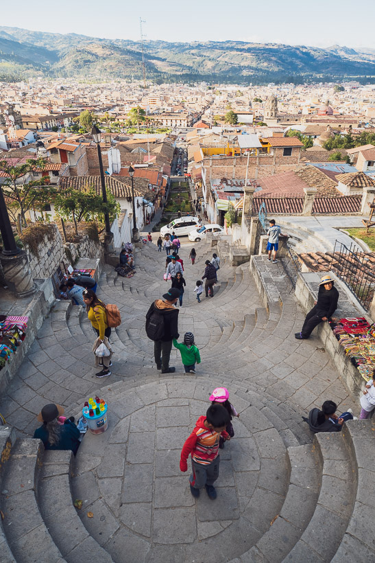
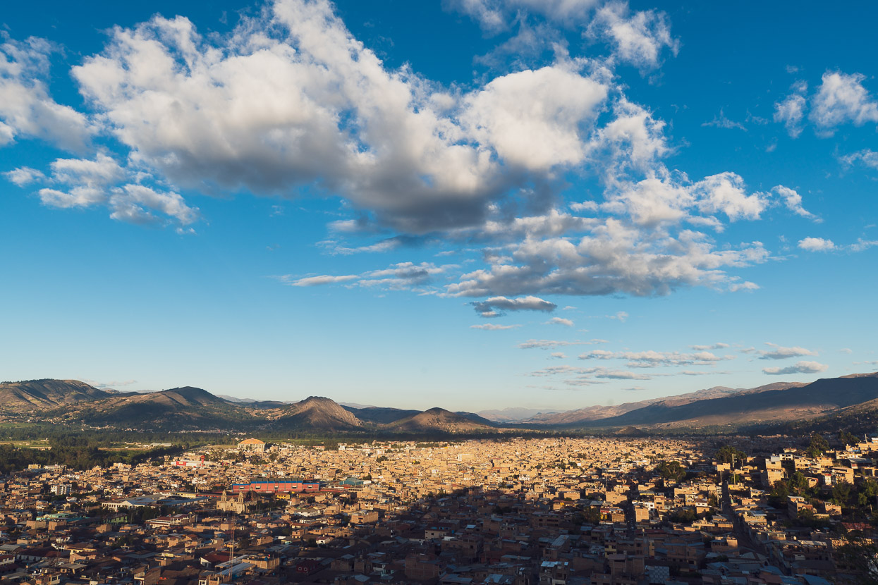
Looking out over Cajamarca and the Mashcon Valley from the mirador above town. We’ll be headed in that direction when we leave, before we climb back into the hills on the Cajamarca–Caraz bikepacking.com route.
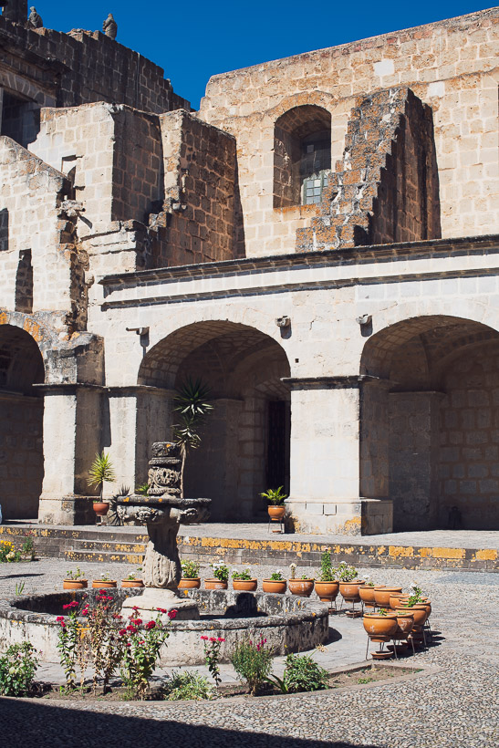
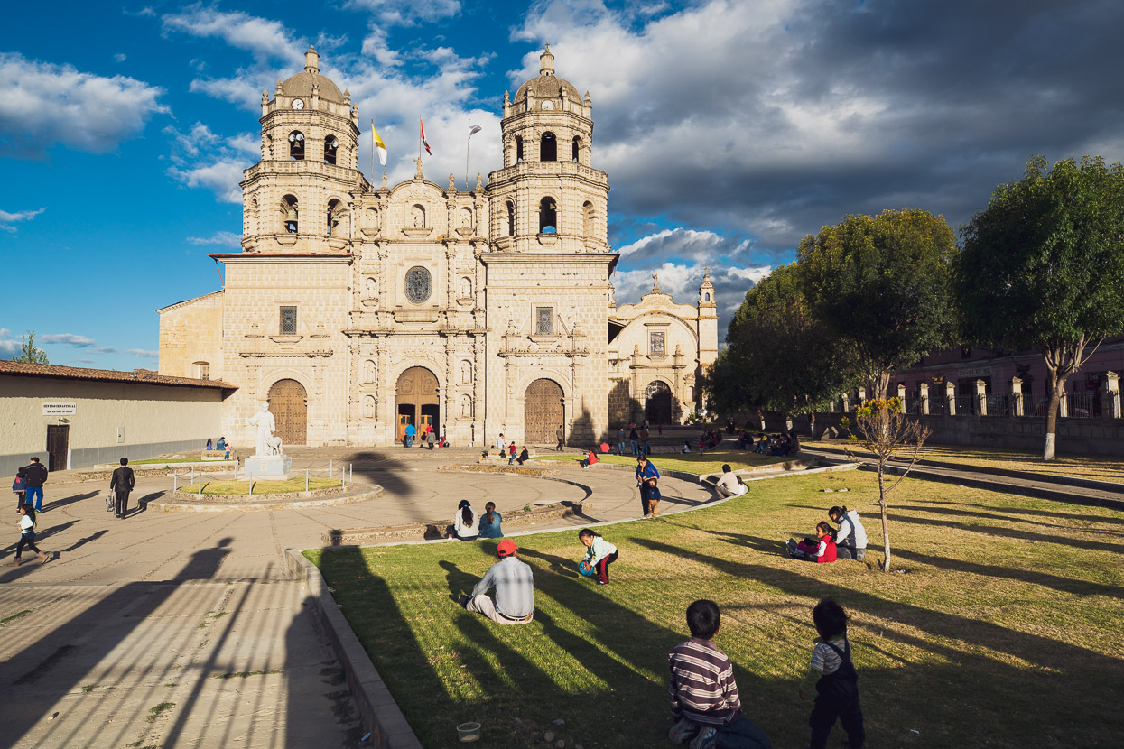
Plaza de Armas – more about this in a moment.
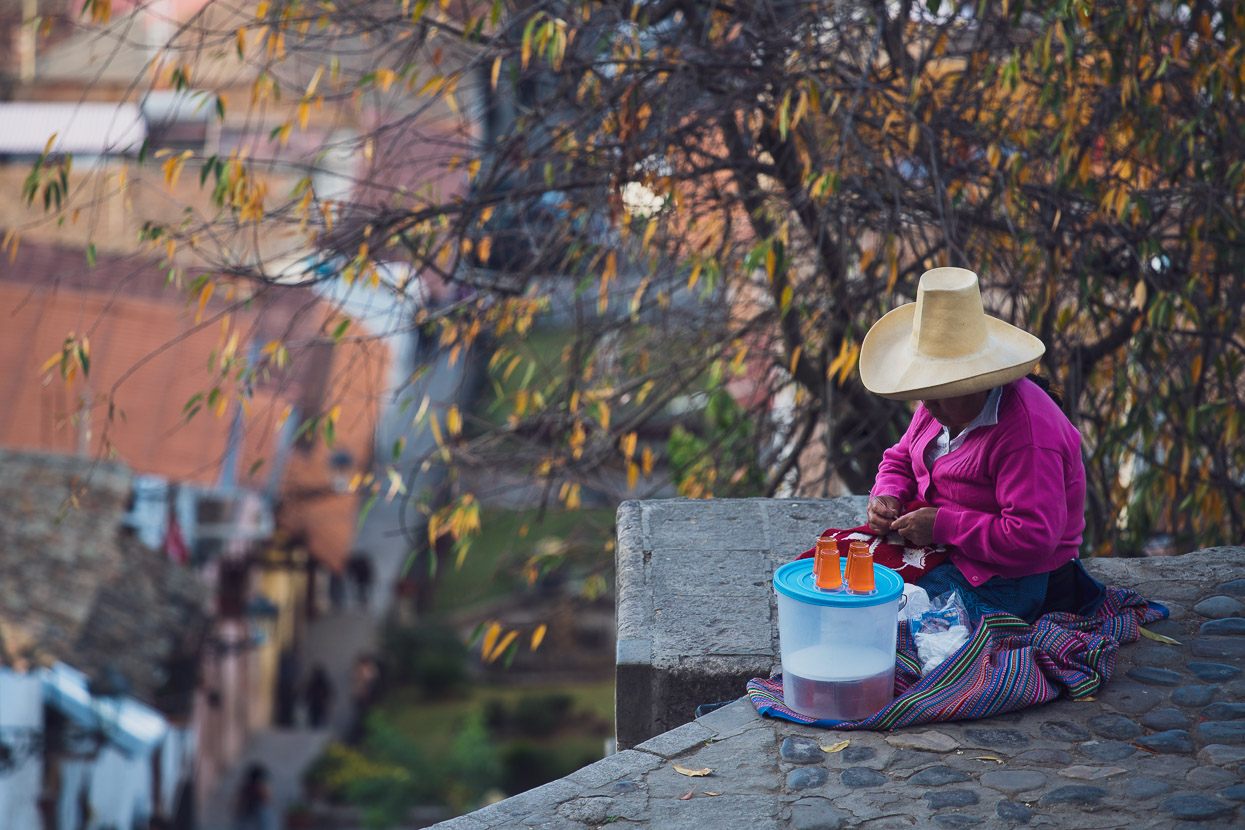
Like Celendín, toquilla hats are part of the traditional ‘uniform’.
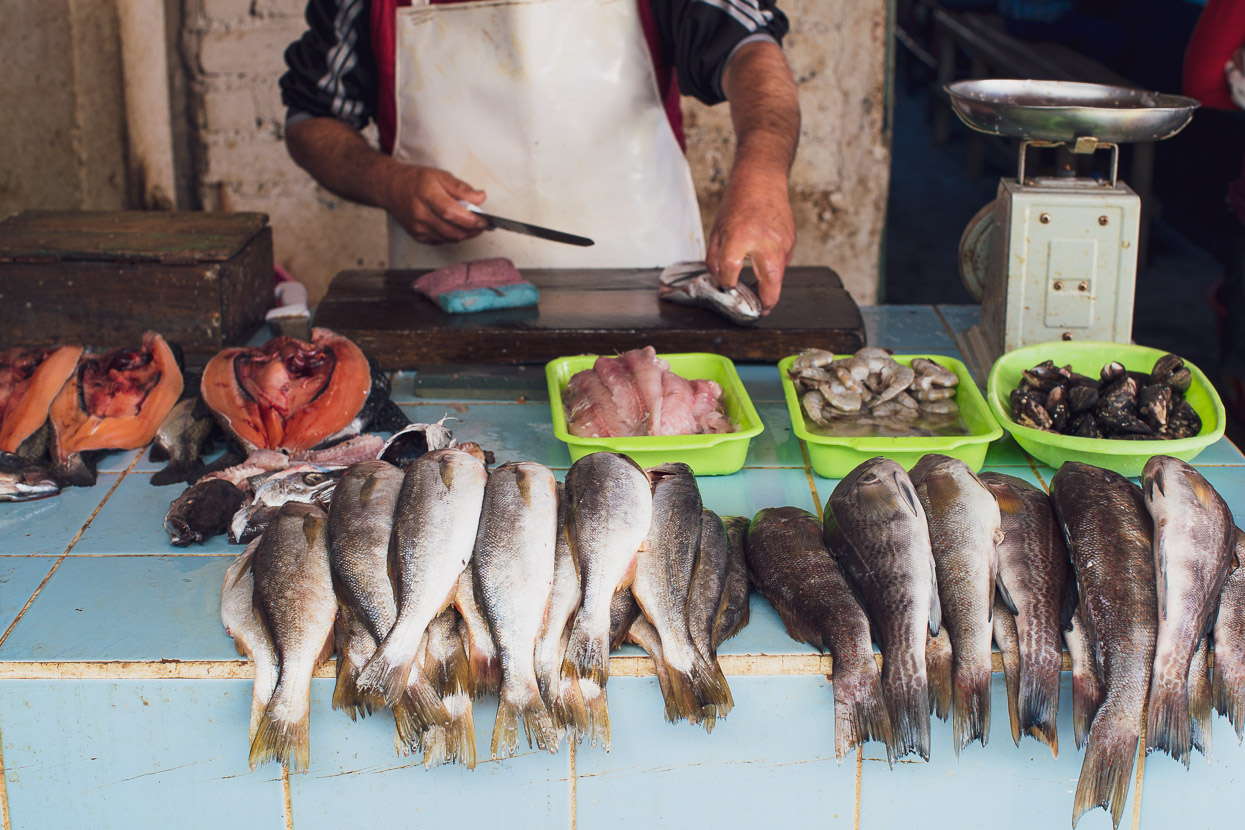
Seafood is big here, especially delicious cerviche which is widely and cheaply available.
Cajamarca’s notable for many reasons, but the biggest is that it’s the site of an event that was the beginning of the end for the Inca Empire. In 1532 the Plaza de Armas was the location of a conflict between Spanish conquistadors and a substantial Inca army that was travelling north. Francisco Pizarro, the Spanish leader, and his small group of 168 soldiers battled the Inca leader Atahualpa and his army here. They were outnumbered, but via surprise attack with the advantage of superior weapons they ultimately captured Atahualpa and also massacred several thousand unarmed Inca civilians and soldiers, out of a ceremonial army of 80,000.
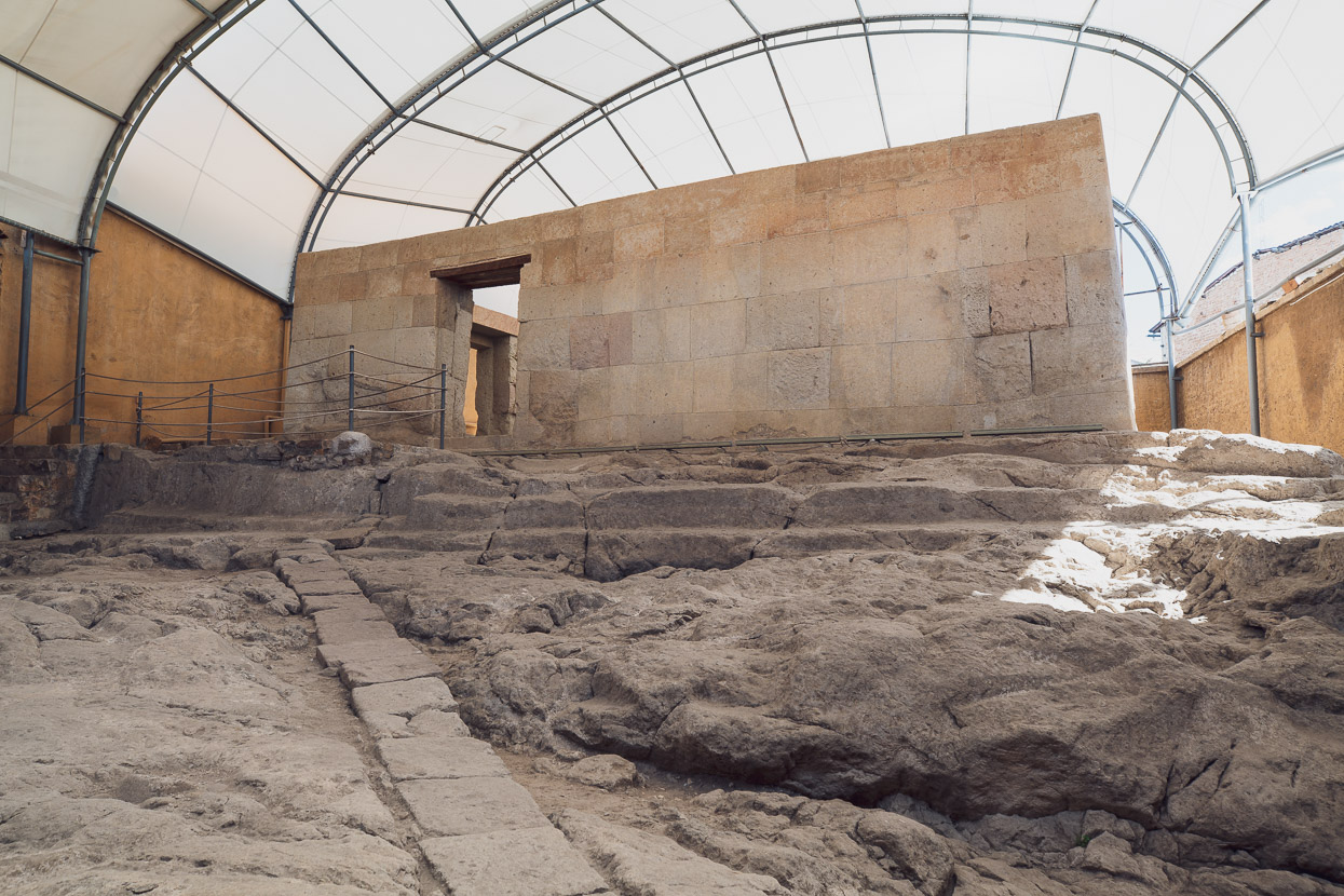
Atahualpa was imprisoned in the temple above – to this day the only remaining Inca ruin in the city – where he was charged with a number of crimes by the Spanish and sentenced to death. The temple is now known as the Cuarto del Rescate (or Ransom Room) and legend has it that in a bid for freedom, Atahualpa offered to fill the room with gold, and twice over with silver. There’s a line on the wall where Atahualpa is said to have pointed to where the gold would reach.
But the Inca Emperor’s offer was in vain, and he was ultimately executed by strangling.
Do you enjoy our blog content? Find it useful? We love it when people shout us a beer or contribute to our ongoing expenses!
Creating content for this site – as much as we love it – is time consuming and adds to travel costs. Every little bit helps, and your contributions motivate us to work on more bicycle travel-related content. Up coming: Gear – what broke and what the favourites have been.
Thanks to Biomaxa, Revelate Designs, Kathmandu, Hope Technology and Pureflow for supporting Alaska to Argentina.



Fantastic scenery; A bit like going into the Skippers !! Great hats for collecting water !! Stay well & safe.
Hi Madge – great to see you still following along 😉 Yes – the landscapes remind us so much of NZ at times – except often the scale is quite a bit bigger here!
M&H, I’m sure that many of your ‘followers’ are asking the same questions that I ponder at times: how do they stay motivated, how do you and Hana keep each other positive during the upset stomach, the cold and raining days, the brutal climbs, finding food & water on a daily basis, places to sleep, places to eat, time to take those great photos, discipline to Start & End your GPS tracking and the time to then log and prepare for your extra ordinary blogs? You might post your philosophy and findings.
You two will have a lifetime of memories,
Vic
PS I wasn’t sure you have seen the latest video on a possible route with ‘running elevation’ of the Peruvian Divide.
https://www.dropbox.com/s/snzuulvounw7ssh/Peru%20Great%20Divide.mp4?dl=0
Thanks Vic – yes those are good questions! I’ll work on a FAQ type post in the future – as there are a lot of questions we are asked repeatedly! Thanks for the video – internet too slow here to play it sadly 🙁 but hopefully in Huaraz.