Towards Los Nevados.
This post covers our ride from Suesca and the Bogotá plateau across the Cordillera Oriental to the mountain town of Murillo high on the volcanic slopes of Los Nevados.
The Nevados are Colombia’s permanently ice-capped string of volcanoes that form the highpoint of the country’s western strand of the Andes, the Cordillera Occidental, separated from its twin range by the Rio Magdalena. We’d been in Suesca and Bogotá for 10 days by the time we got moving again and it was good to get back into it, enjoying the flow of days back on the road, new landscapes and the subtle and not-so-subtle cultural changes as we ride from department to department. As usual we pored over maps in Ride With GPS to plan a route away from busy valley roads as much as possible, keeping to the rural areas, the hills and some interesting out of the way towns.
It’s hard to avoid pavement completely heading west from the Suesca/Zipaquira area, but we worked out a good route that was generally quiet, but not without a lot of climbing, via Zipaquira – Pacho – Vergara – Nimaima – Tobia – La Magdalena – Guaduas – Paramillo – Cambao – Armero – Padilla – Libano – Murillo.
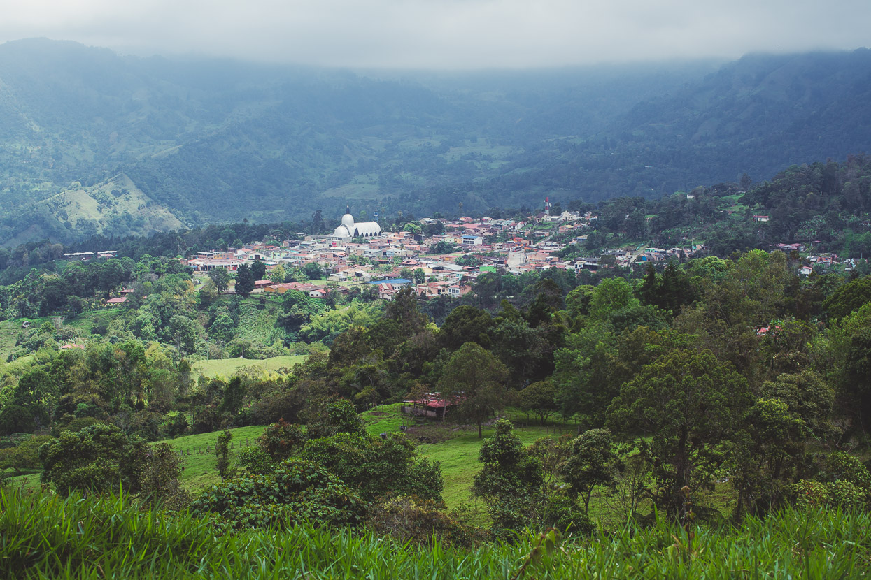
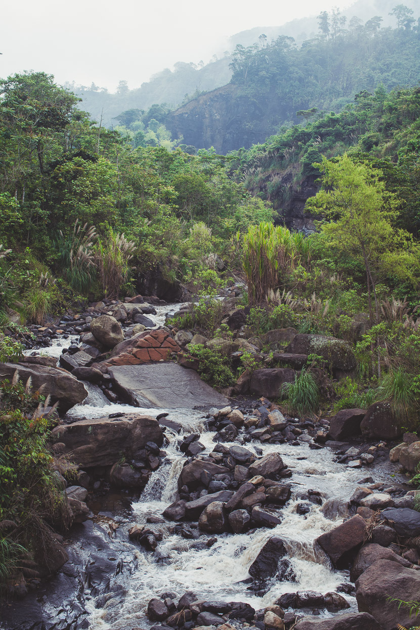
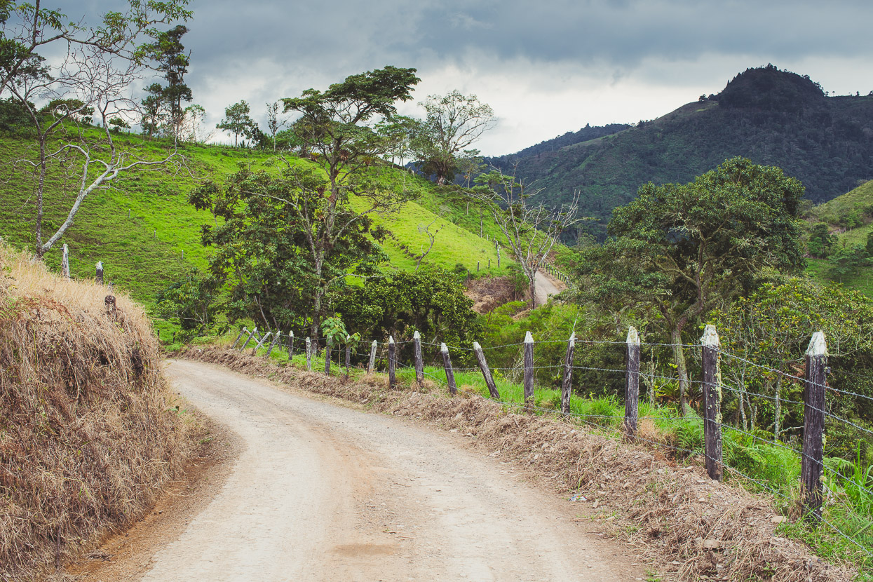
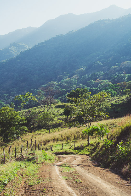
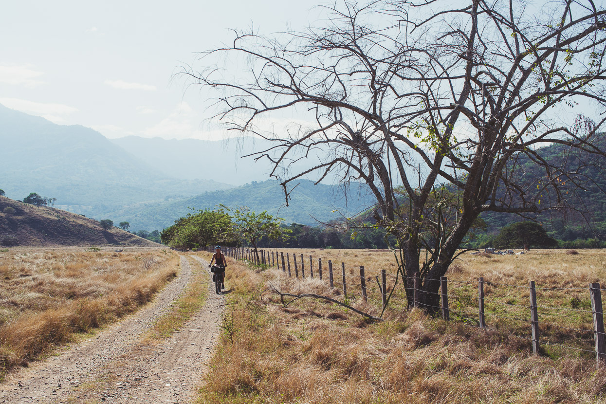
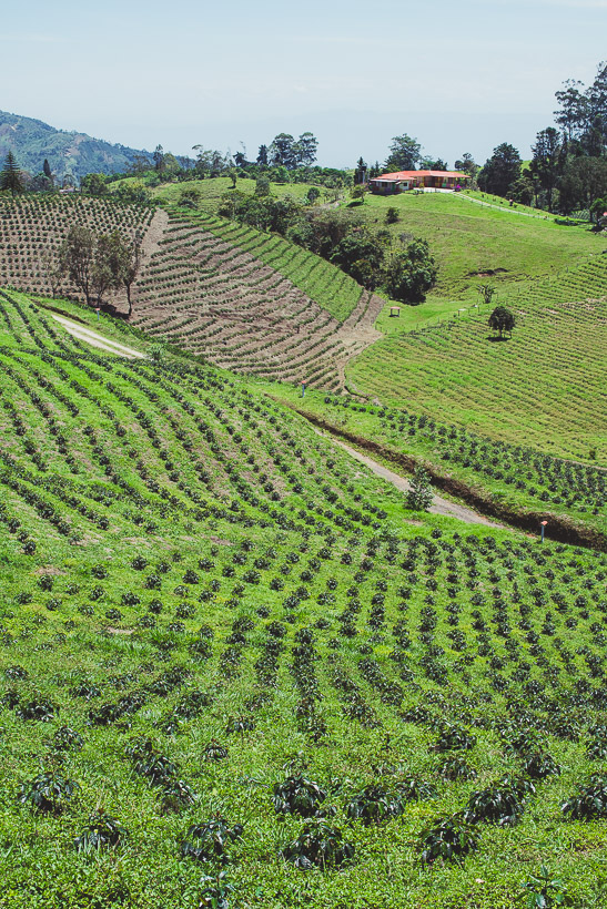
From the Bogota Plateau across to the deep and dry valley of the Rio Magdalena the route generally trends downhill, but the foothills between are broad with steep valleys, long winding ridges and a ton of climbing on any given day of riding. With greater rainfall in this region the hills were lush. Small and contained towns punctuated the ride and the roads were always quiet – to totally deserted – after we got past Zipaquira on the first day.
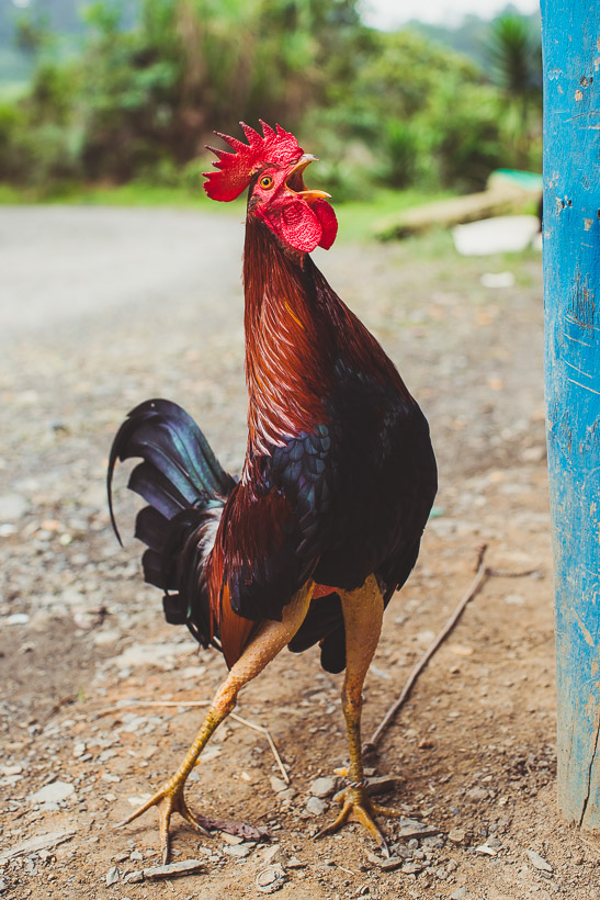
The 4am cock-a-doodle-dooooo is one of those ubiquitous background sounds of travel in Latin America. ‘Gallos’ are often bred for cock-fighting too and we sometimes see the rings outside rural tiendas and bars. Like this one, they’re often tied up alongside the road, and sometimes for sale. This one’s leg feathers were plucked for – I guess – a more athletic appearance.
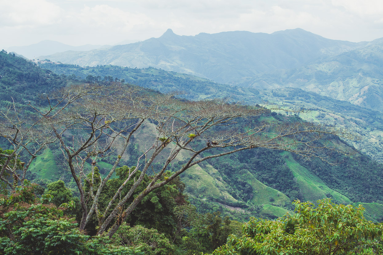
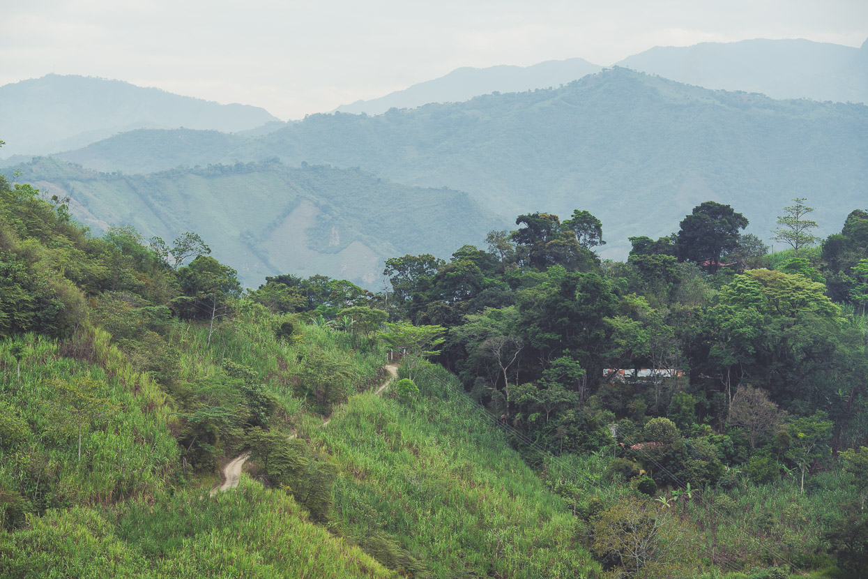
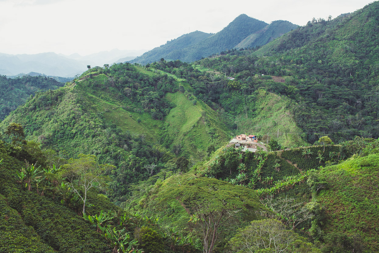
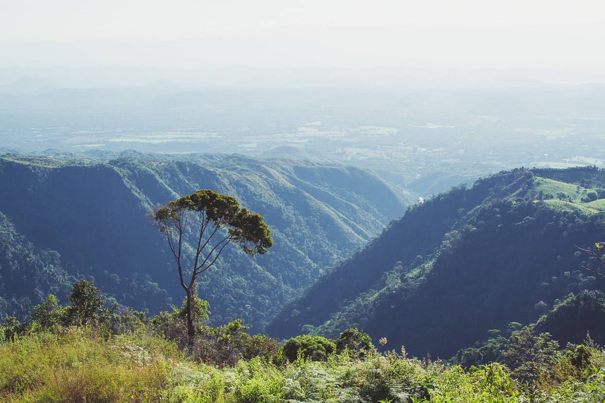
Hill after hill as far as you can see. We loved this environment for riding – narrow windy roads and perfect temps.
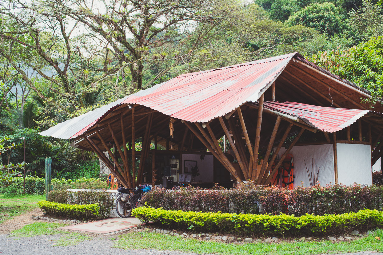
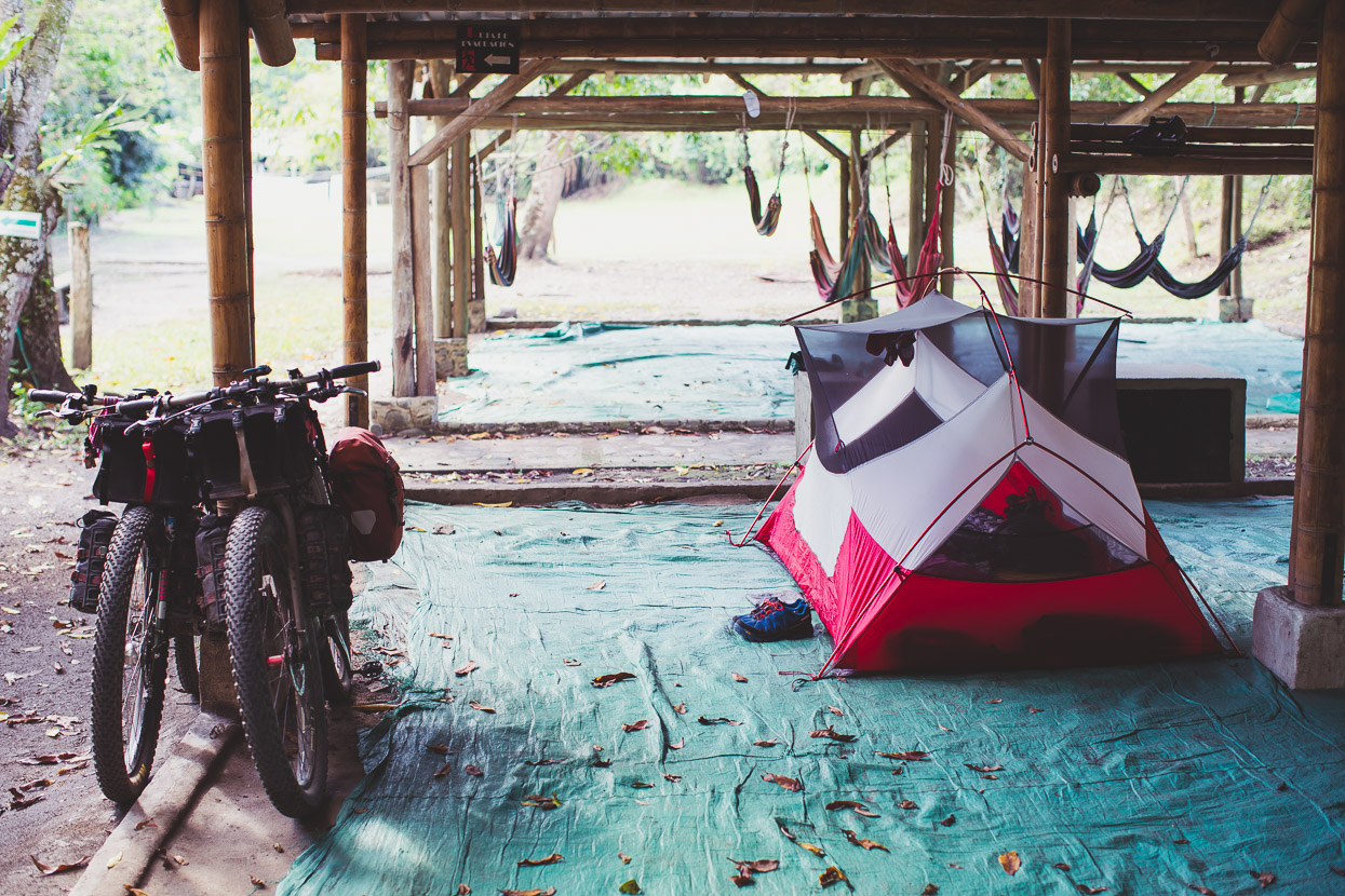
On the outskirts of the river town of Tobia, way back down at a tropical feeling 650 metres there’s several places with pools, camping and hammocks alongside the churning Rio Negro which is a popular rafting river.
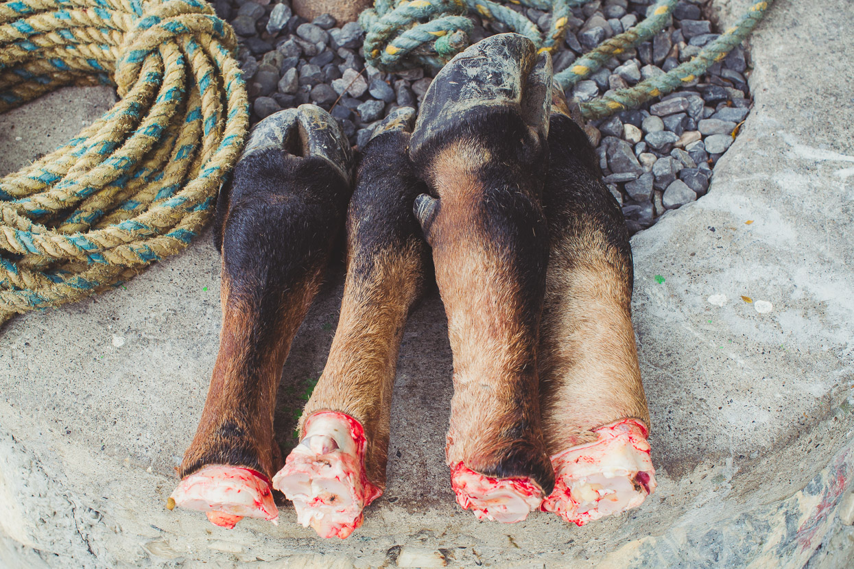
Spotted outside the carnecería in Tobia; nothing goes to waste here. Occasionally the soup that accompanies a typical set-menu meal here is filled out with lumps of tripe, which we usually sneak out of the bowls and flick to a nearby dog.
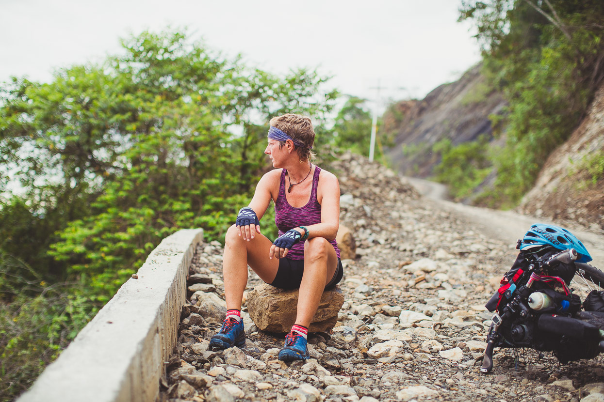
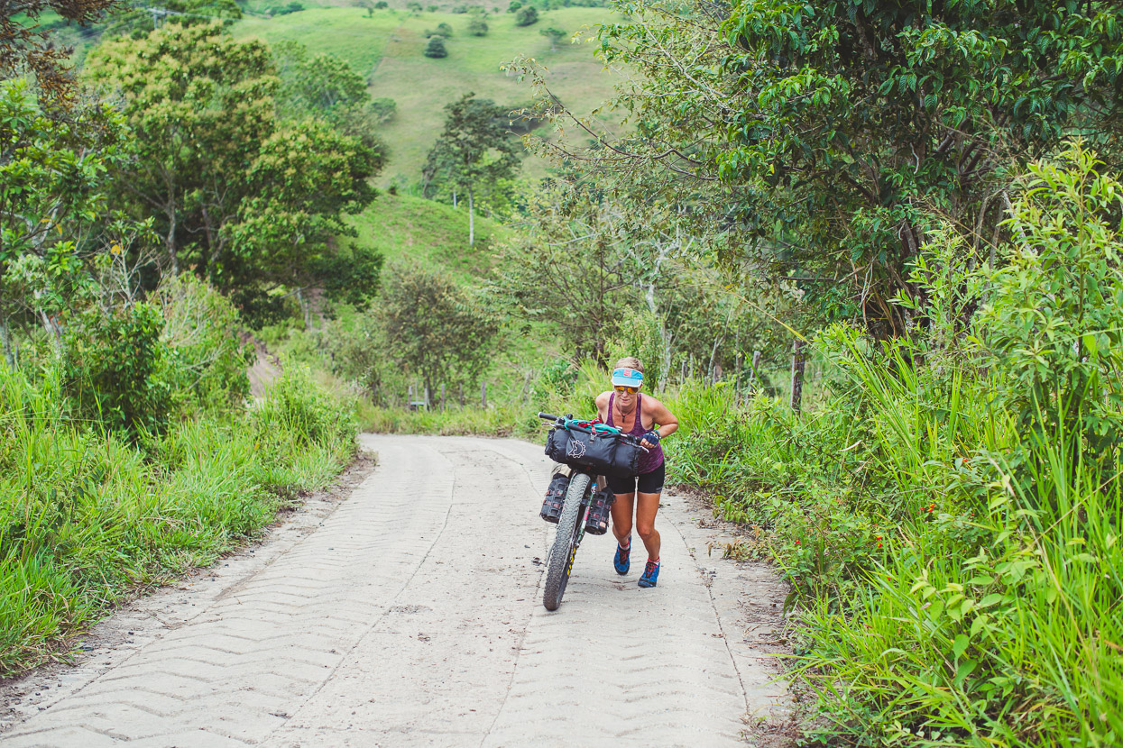
The hill road out of Tobia was ridiculously steep – making us very thankful (and not the first time) for our conversion to a climbing gear of 22t x 40t. But still it was hard work. A dirt and pavement descent into the quiet town of La Magdalena followed, where we had a lunch of empanadas and coffee before more steep climbing into the final ranges separating us from the Rio Magdalena.
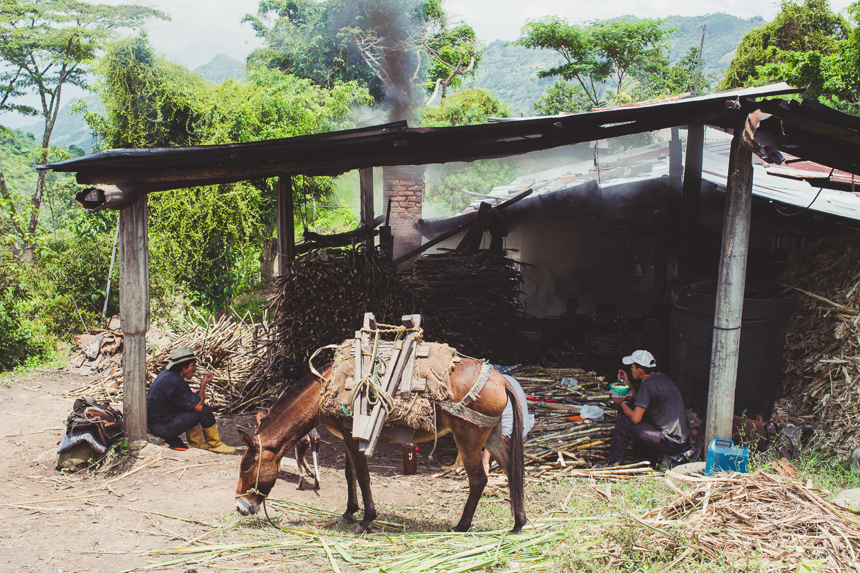
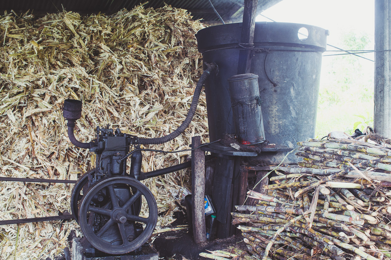
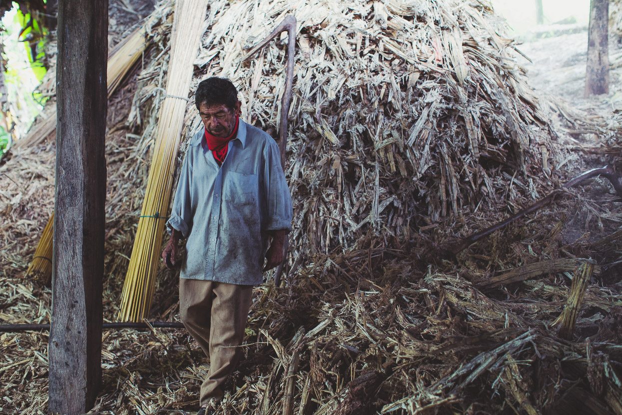
Much of the riding that day was through sprawling sugar cane plantations and we stopped in at one of the small processing plants to take a look. We were welcomed in by the equally curious workers, who showed us how the rudimentary but efficient operation worked to process sugar cane down to the delicious finished product, panela.
The tall, skinny stalks of cane are harvested and brought in big bundles by horse or donkey. They’re then crushed to extract raw sugar cane juice.
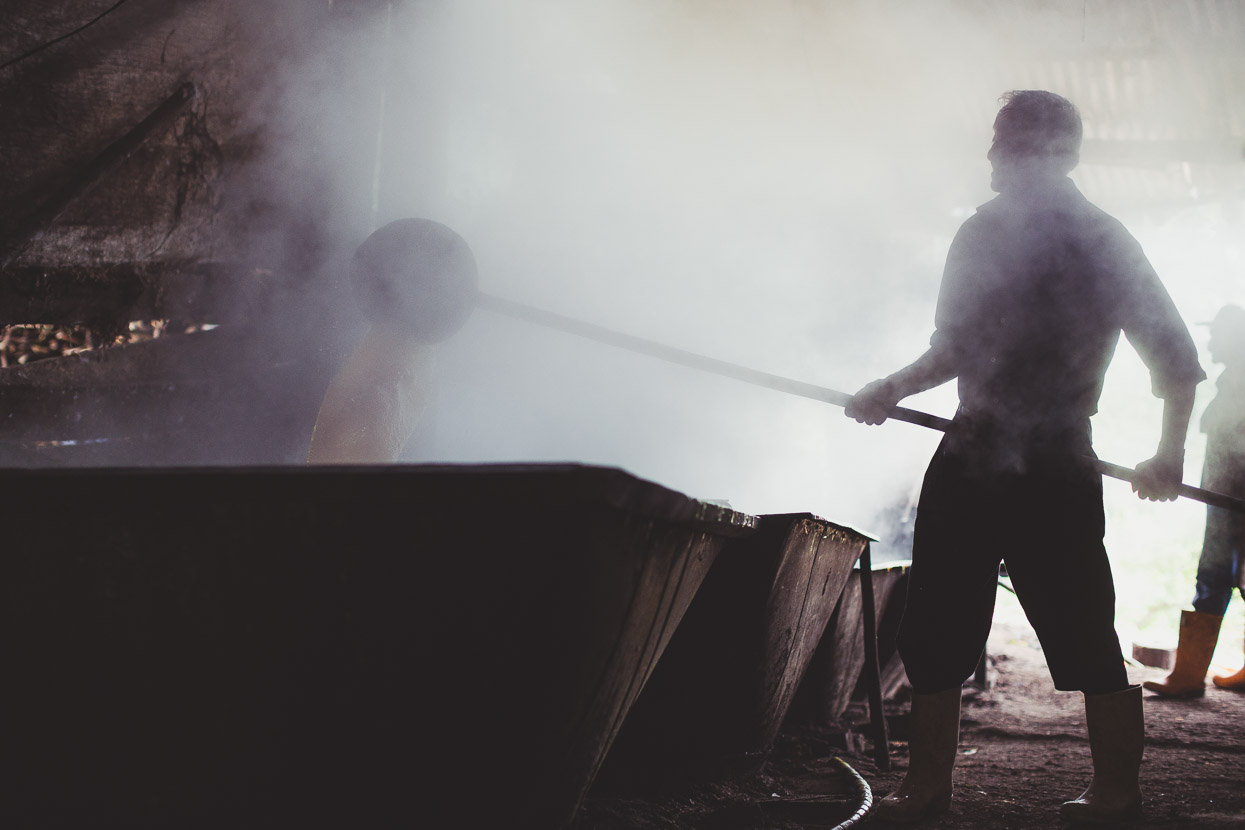
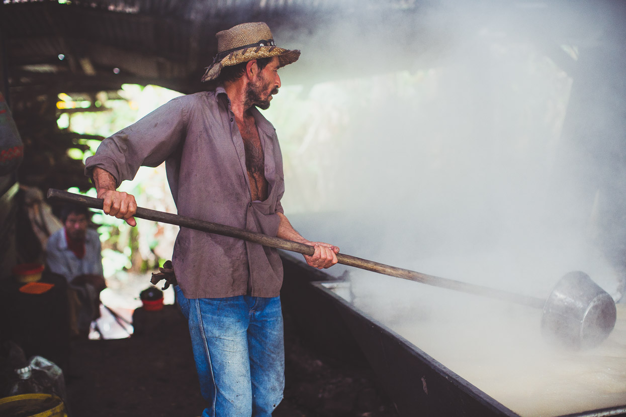
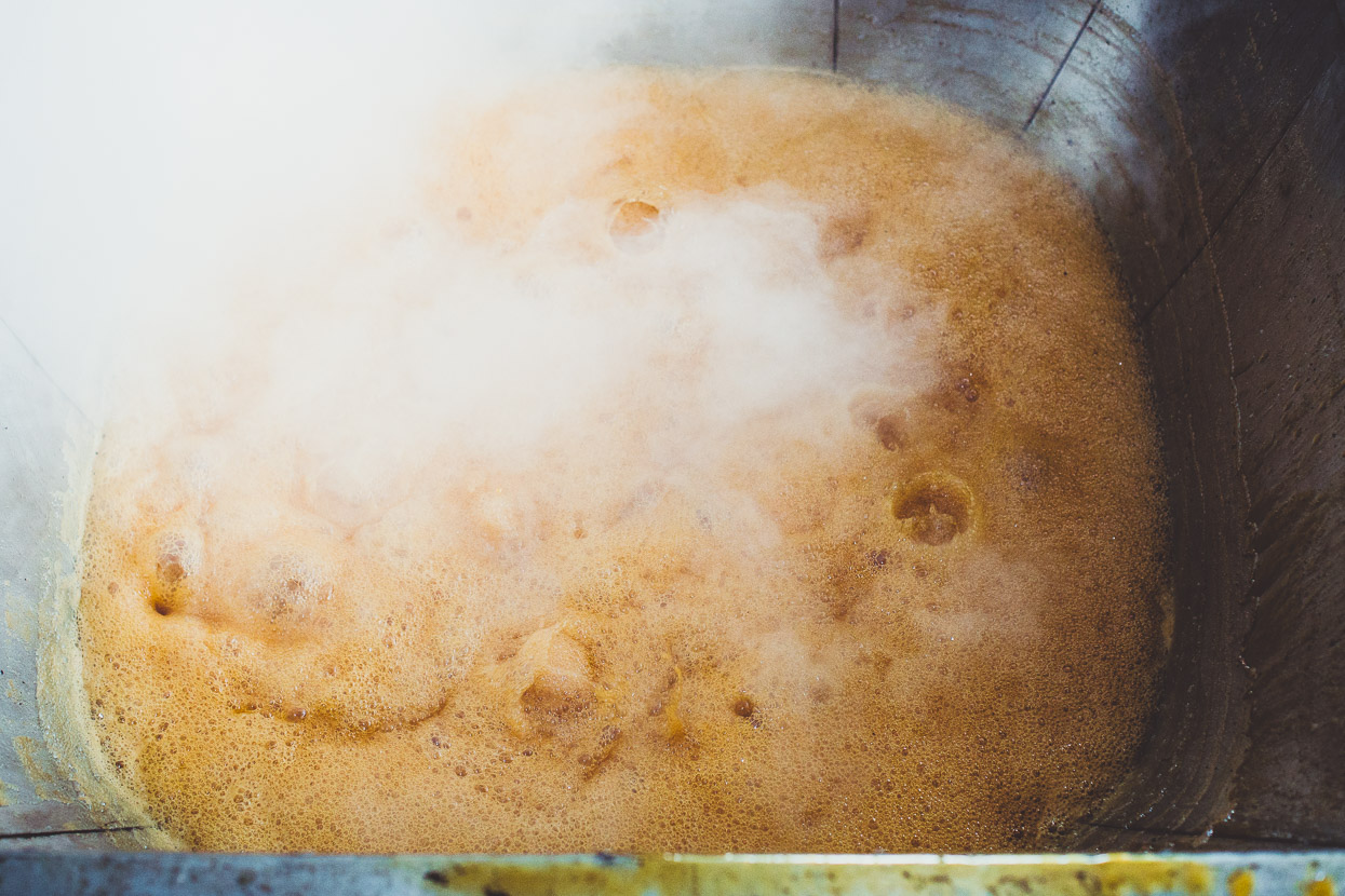
The extracted juice is then boiled down in three separate boiling tanks and added incrementally to a single tank until a thick brew remains.
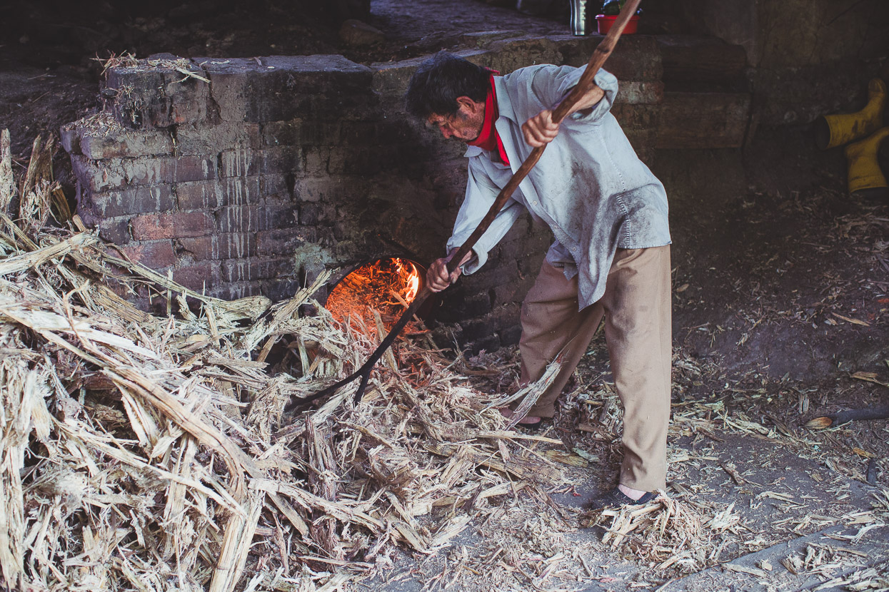
Below, the mountain of crushed cane is used to stoke the fire which heats the boiling tanks. It’s this man’s job to keep it going and push the burning stalks right to back of the long fire chamber.
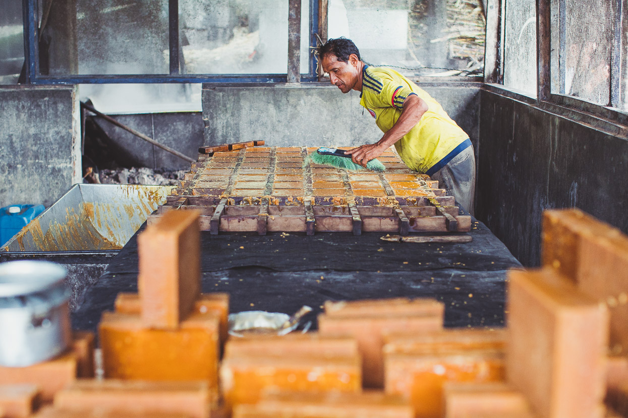
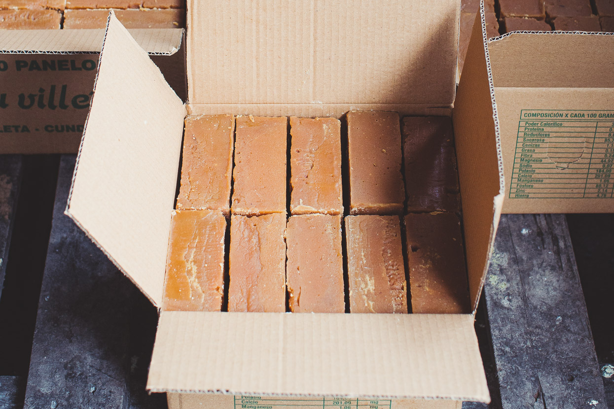
Once the boiled juice is thick enough it’s poured into basic wooden molds and left to cool. It’s then trimmed, brushed off and boxed.
Panela is a staple for Colombians. It’s as raw as sugar gets, with a rich, malty, caramel flavour and is added to black coffee to make tinto, and often drunk mixed with hot water to make delicious agua panela. It’s sometimes said locally that if they tested the Colombian cycling superstar Nairo Quintana’s blood, all they’d find is agua panela.
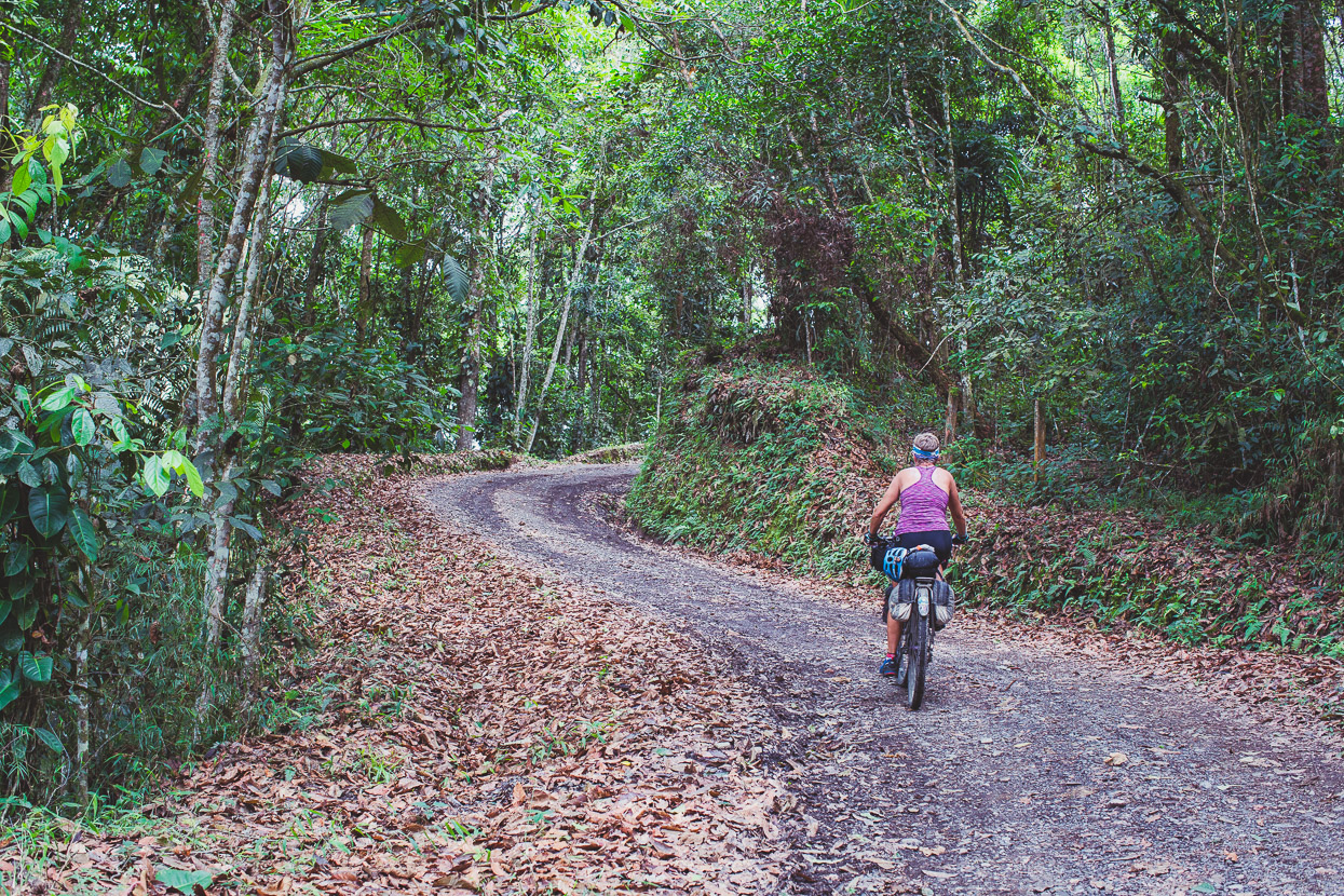
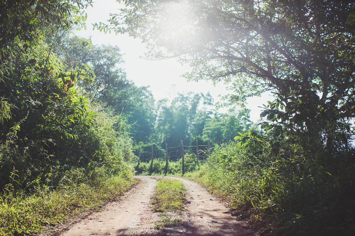
Between the steep bits: perfect dirt road riding, an agreeable climate and the lush surrounds of sugar cane, banana palms and coffee plantations.
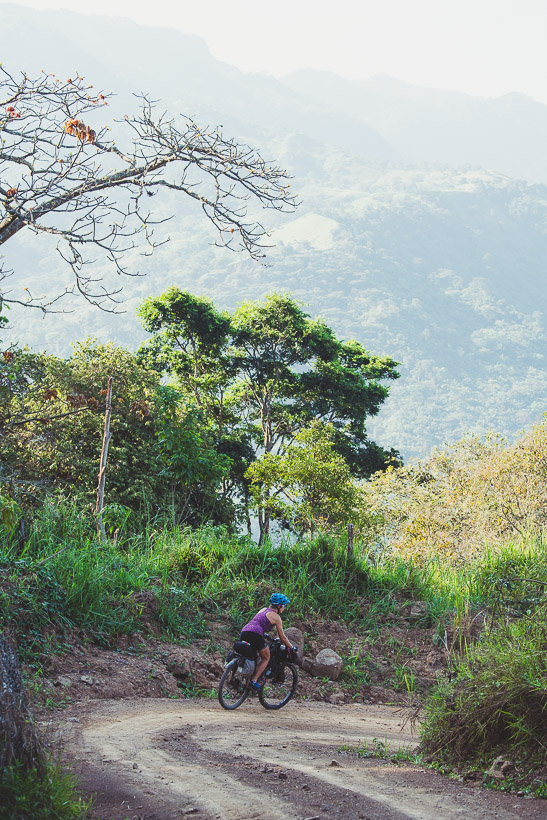
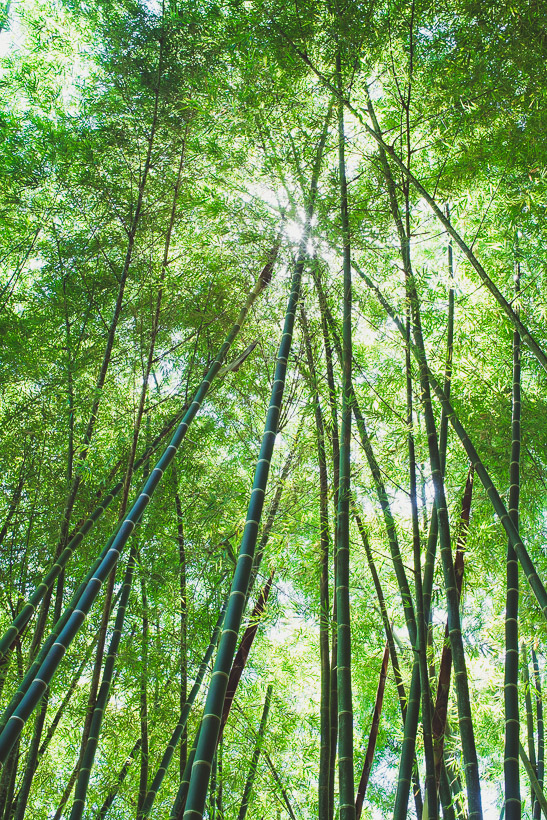
The higher we climb the more the land falls away steeply until we hit the top of the ridge and turn left, undulating along a leaf littered road through cloud forest.
A long descent drops us into Guaduas, one of the best surprises of this leg of the ride from Suesca. Guaduas has all the charm of some of the nicest colonial towns we’ve seen, but without the tourists. It’s on the map for Colombian sightseers and weekend visitors escaping the heat of the Magdalena Valley, but far enough away from the gringo trail that it has a relaxed and authentic feel and hasn’t been tainted by inflated prices. It’s the kind of place you can sit at a café on the edge of the plaza and happily watch the world go by for a while, and that’s exactly what we did when we arrived in town; eating ice cream sundaes sprinkled with cheese.
We liked Guaduas enough to take a day off, with a lazy morning, a late brunch of huevos, arepa and chorizo (the closest you get to bacon and eggs in Colombia’s rural towns) and a wander around the town’s compact historic area.
The following morning it was still early when we topped out the final climb before a long and steep descent into the Magdalena Valley.
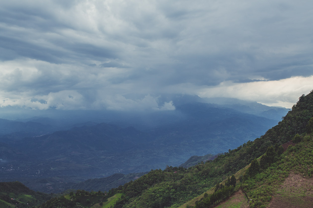
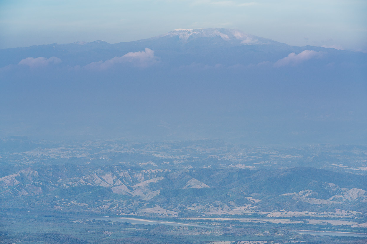
Even early in the morning the heat haze was starting to obscure the view across to Los Nevados – our upcoming destination. For perspective, the valley floor here is at about 250 metres and the summit of Nevado Ruiz (the highest point) is 5311 metres. We’d be climbing up to over 4500 metres over the following three days of riding.
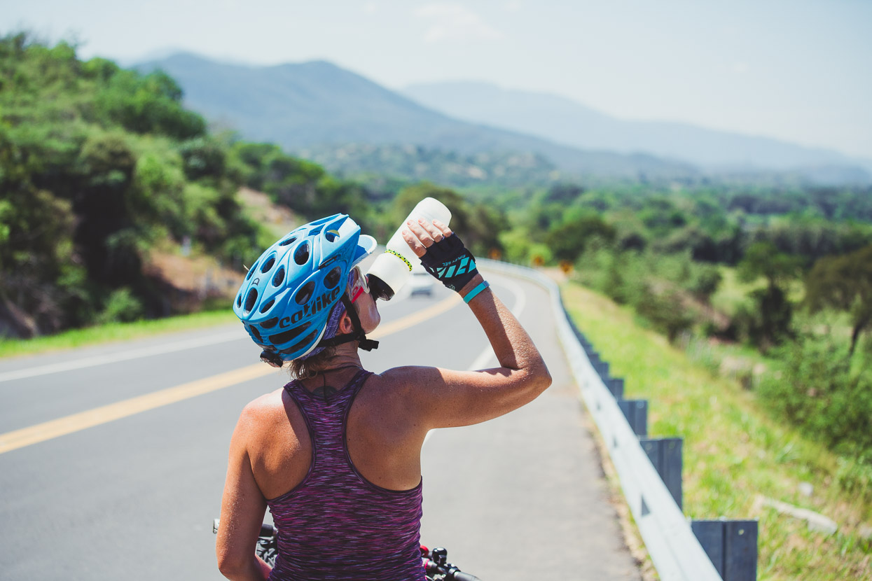
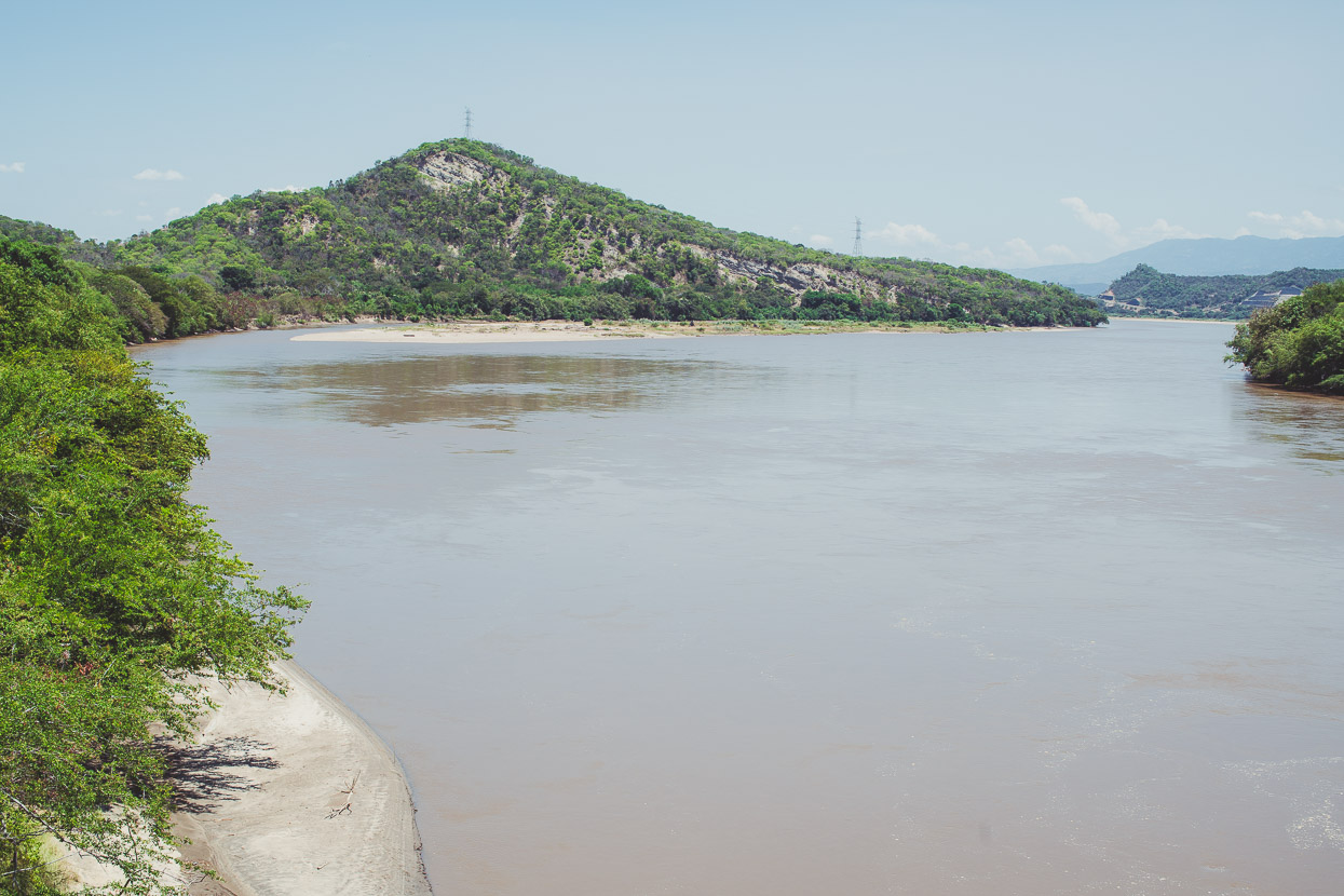
Down, down, down to the parched floor of the valley, where the temperature was already into the thirties and gradually climbing as we turned onto the highway and headed for Cambao. We were now at the lowest point we’d reach between Colombia’s east and west cordilleras of the Andes. We crossed the river and headed for Armero, at the base of the 4000+ metre climb to Old Letras Pass high on the flank of Ruiz.
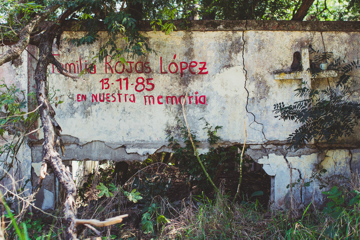
The mercury was pressing over 35 degrees when we reached Armero. The remains of the town were a sad and sobering sight, even more than I’d expected. In November 1985 Armero was the site of the second biggest volcanic disaster of the 20th century, when an evening eruption from Nevado Ruiz melted the icecap causing several massive lahars to flow down the mountain into waterways. At their peak, the lahar flows that hit Armero were 30 metres deep. The town was almost completely buried and 23,000 people were killed.
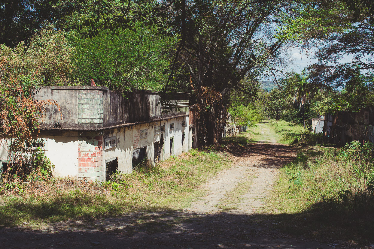
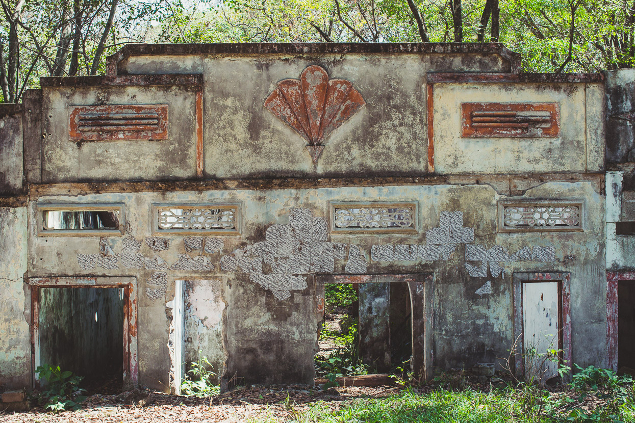
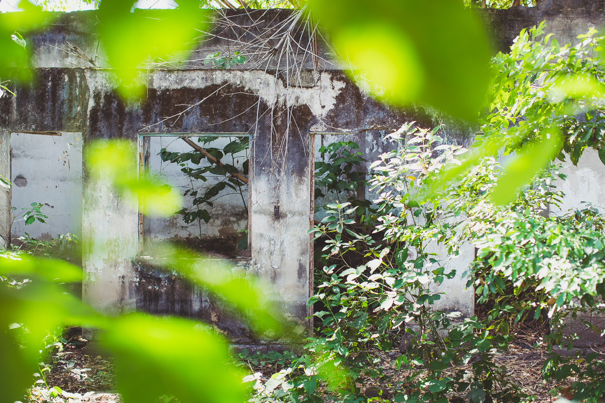
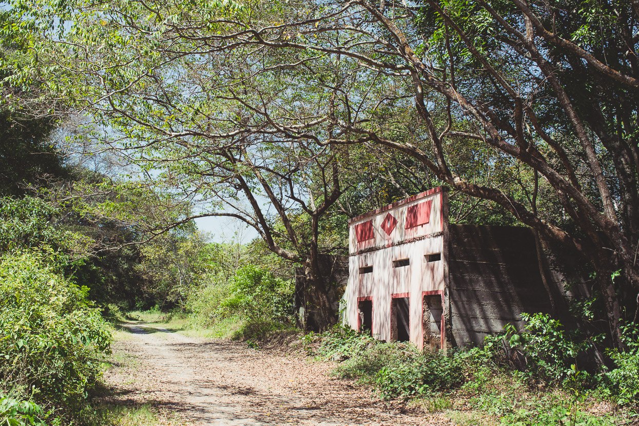
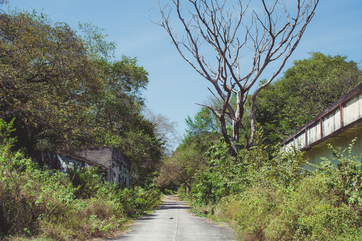
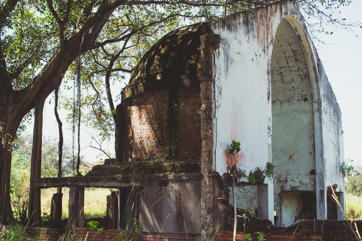
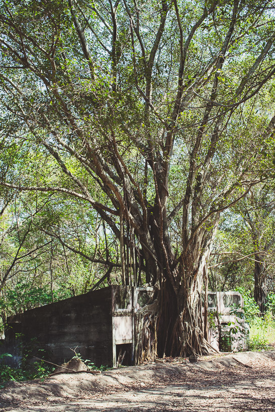
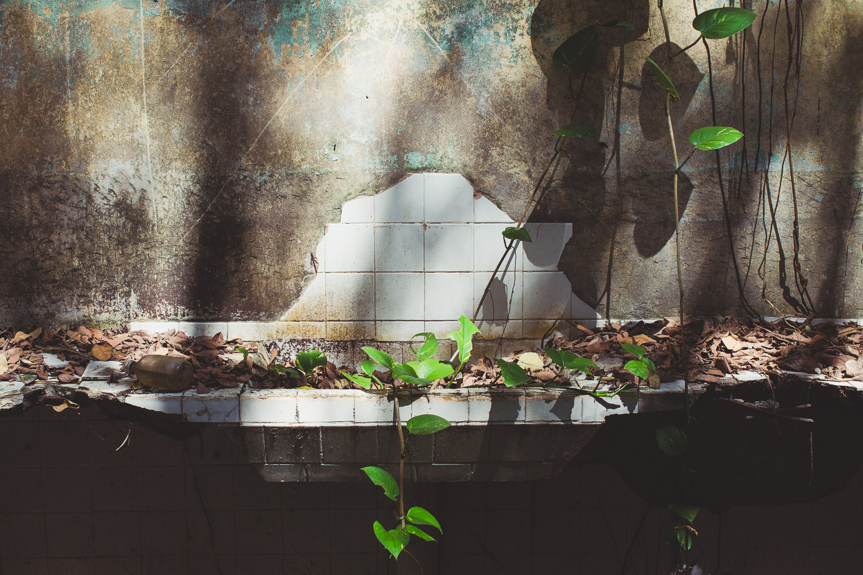
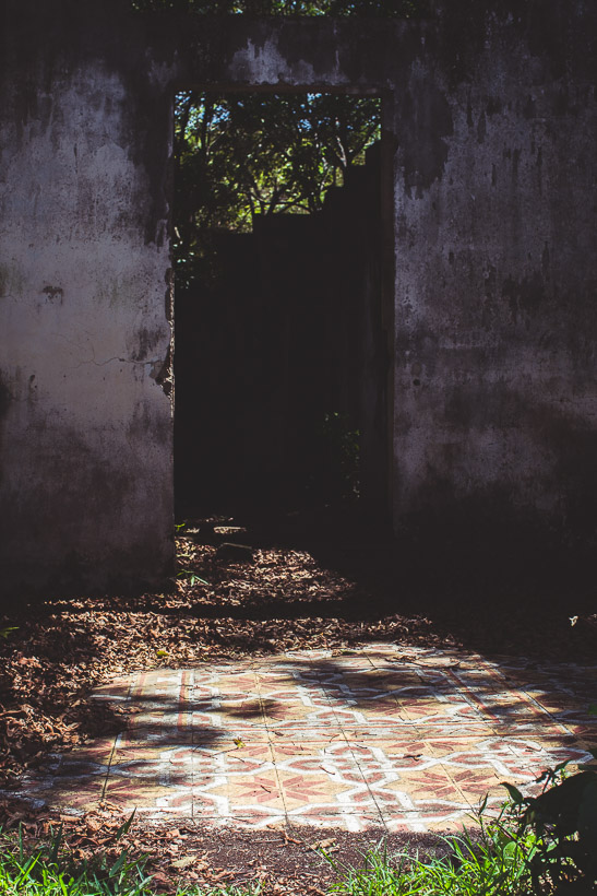
Just a fragment of this large service town exists today, scattered over both sides of a modern highway. Most of it was either completely buried, or the weaker buildings just blown apart as the waves of boulder-embedded mud ploughed out of the canyon and over the town. In many places memorial stones sit on what now looks like any other river plain, marking the houses buried beneath. The town’s remaining buildings, some half buried and slowly being overcome by scrub and straggly trees, stand as a silent reminder to the tragedy.
The incident wasn’t without precedent: the ‘modern’ town was built on an alluvial fan created from historic lahar flows and the town had been destroyed twice before, in 1695 (over 600 deaths) and 1845 (over 1000 deaths). The 1985 event was a tragedy in every sense of the word: warnings had been ignored, the evacuation of the town delayed, and the rescue response totally inadequate. The eruption occurred during the height of Colombia’s guerrilla war and the government and military were heavily occupied. When rescue workers arrived they were poorly equipped for the task of extracting people from tangled trees, rubble and mud.
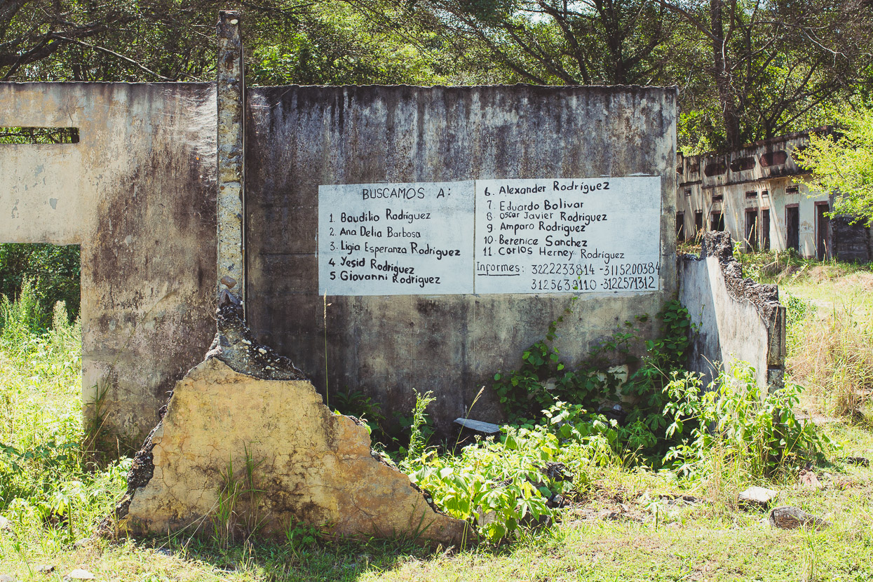
The search for family and survivors continues even today.
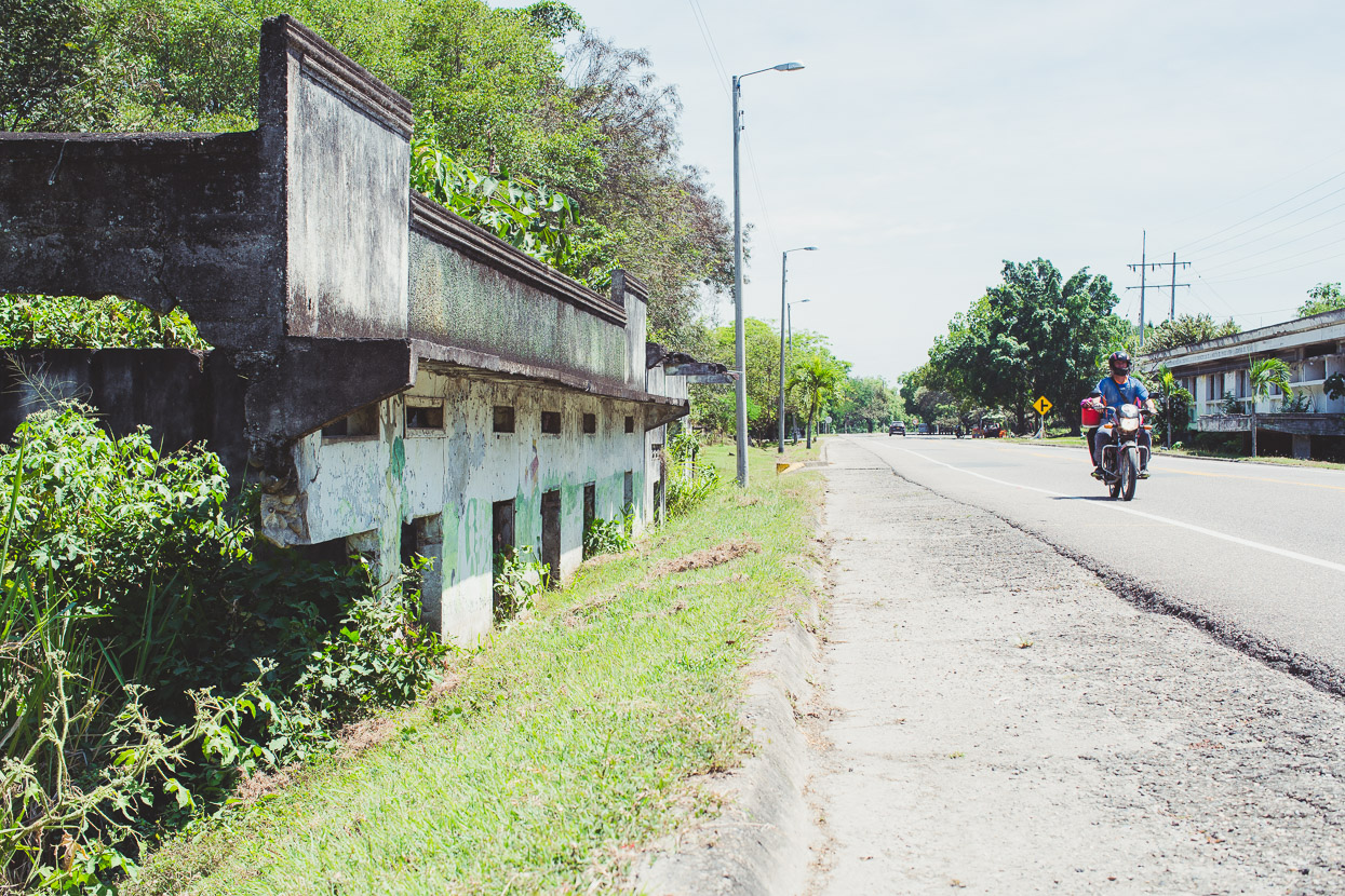
With an almost cold indifference, the valley’s busy main highway ploughs between buried houses and the remains of the hospital.
It was good to leave the sapping heat, mosquitos and sadness of Armero behind and begin the long ascent. We spent the night in Padilla, just a couple of hours into the climb. This view’s looking back down the Rio Lagunilla valley, through which the lahar that took out Armero flowed.
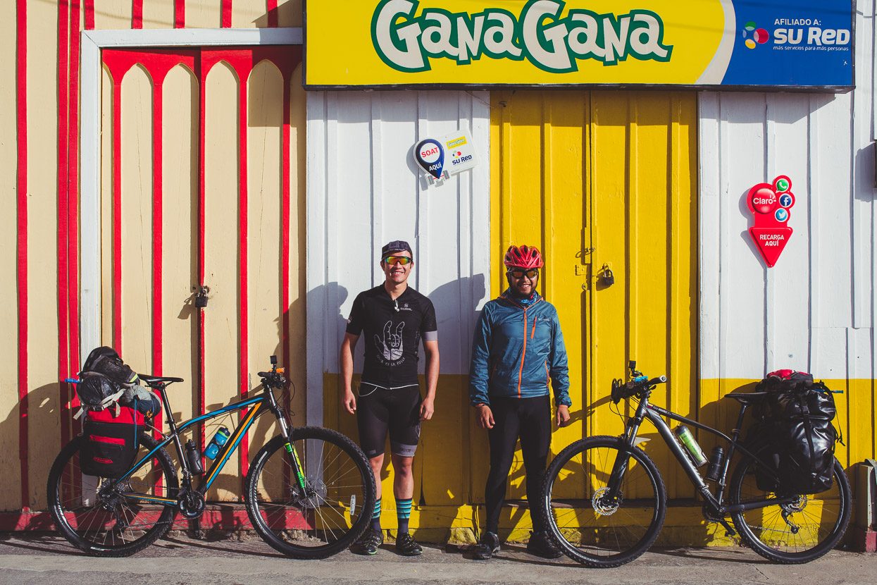
For the day’s climb from Padilla up to Murillo (2200 metres) we had the company of a couple of lads from Bogotá; Gustavo and Oscar who were on a 10-day tour from their home in the big city, around Nevado Ruiz to Salento and back to the city. Their trip illustrates two things we’ve seen often here: Colombians love exploring their own country and cycling culture is huge here. It was a Sunday when we made the long climb to Murillo and there were many people out on bikes – unafraid of the hills and showing the qualities that have made Colombian cyclists such notable climbers in the three Grand Tours.
In fact the climb right up Ruiz from the Magdalena is the biggest climb in Colombia and one that sits in almost mythical reverence; like France’s Alpe d’Huez which often features in the Tour de France. Although Ruiz’s climb is over four times longer in elevation gain!
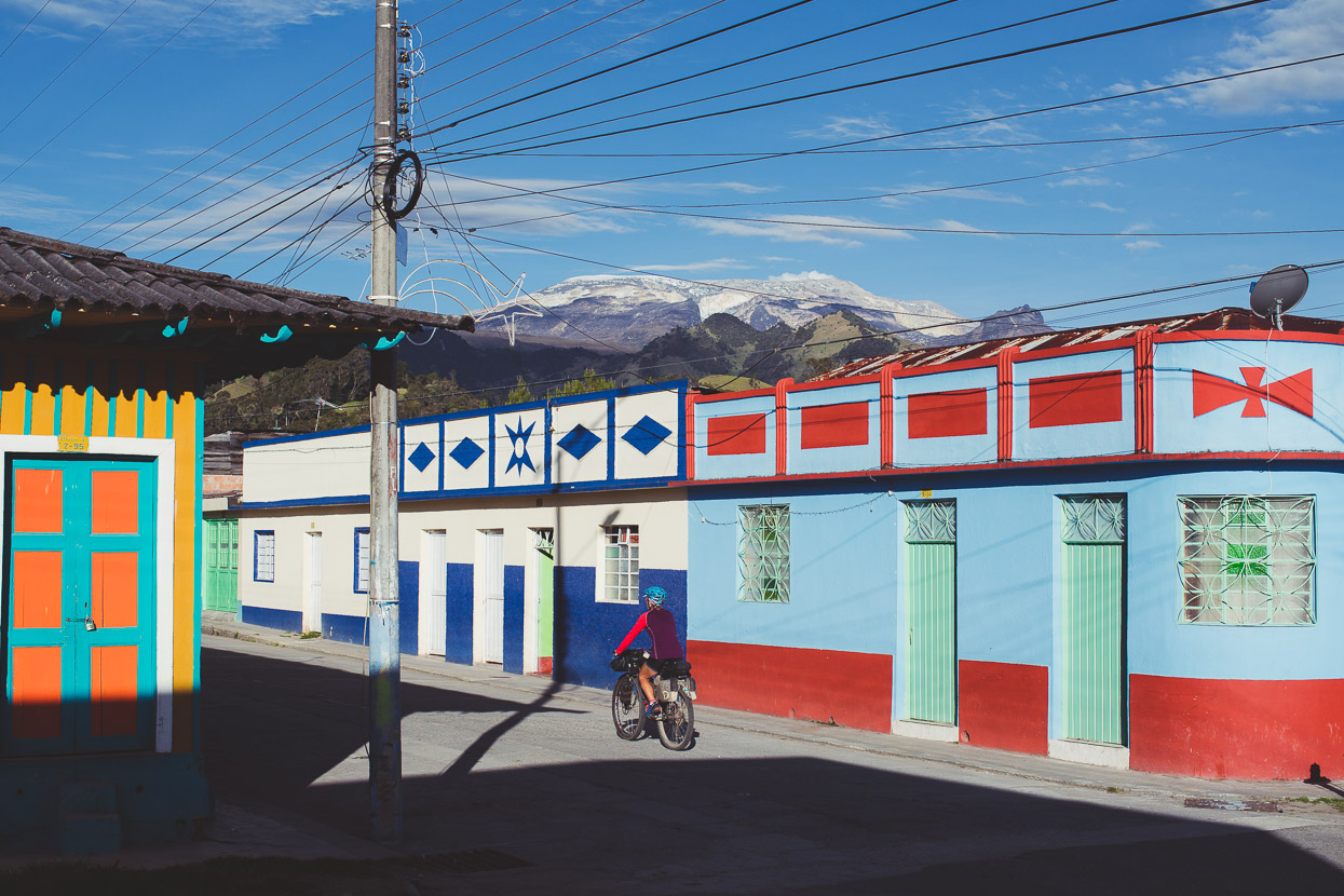
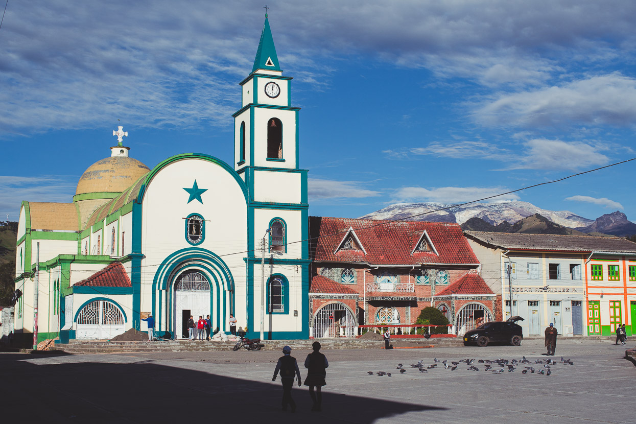
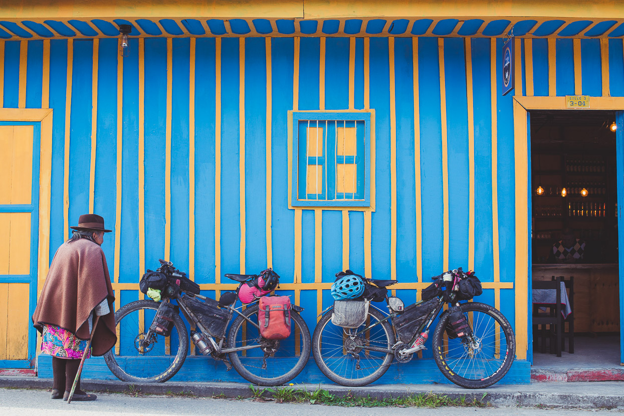
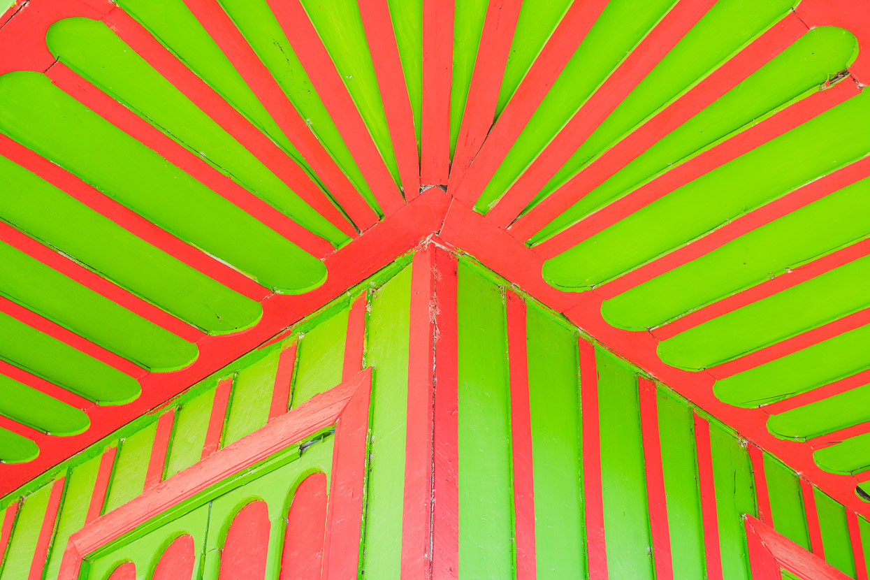
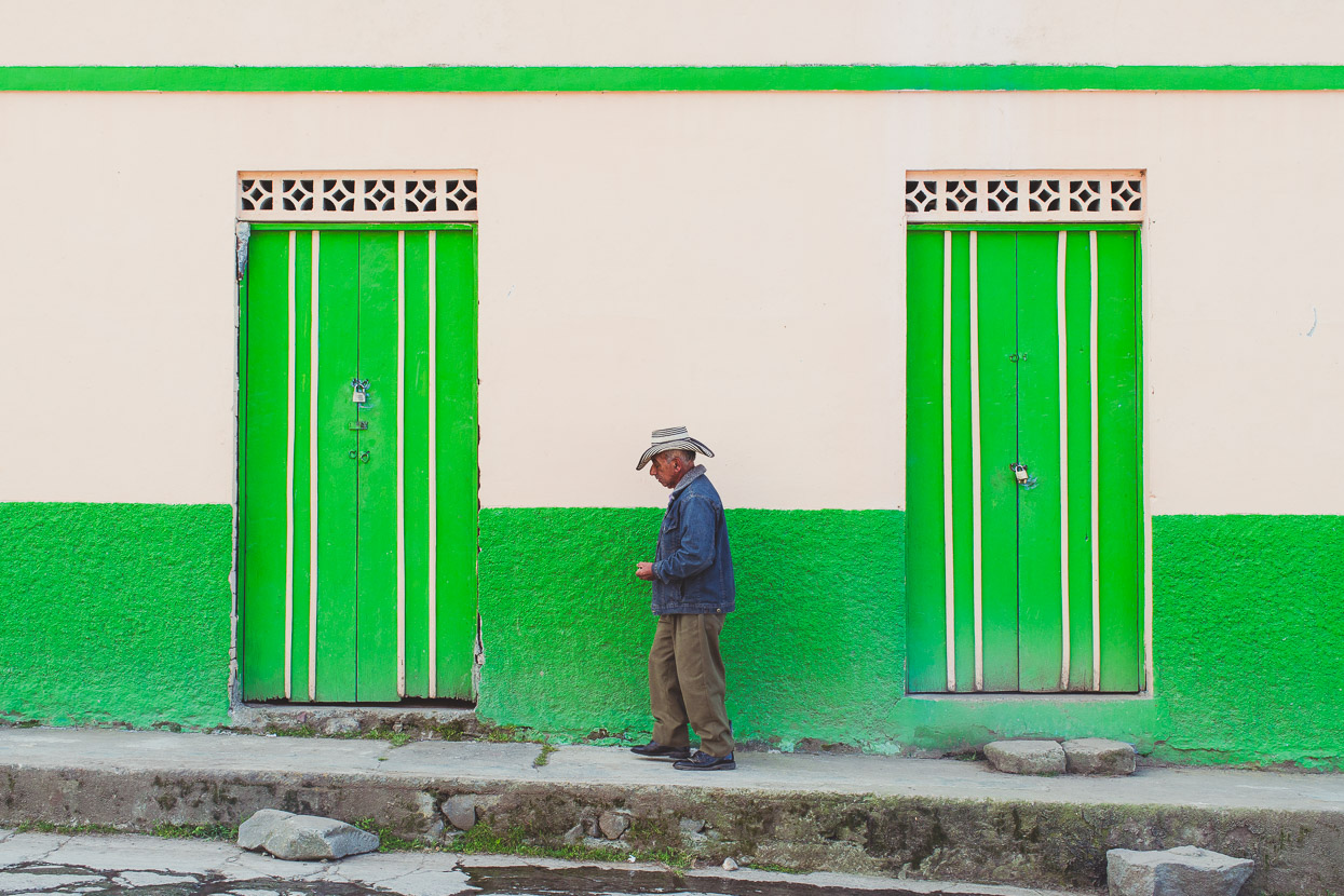
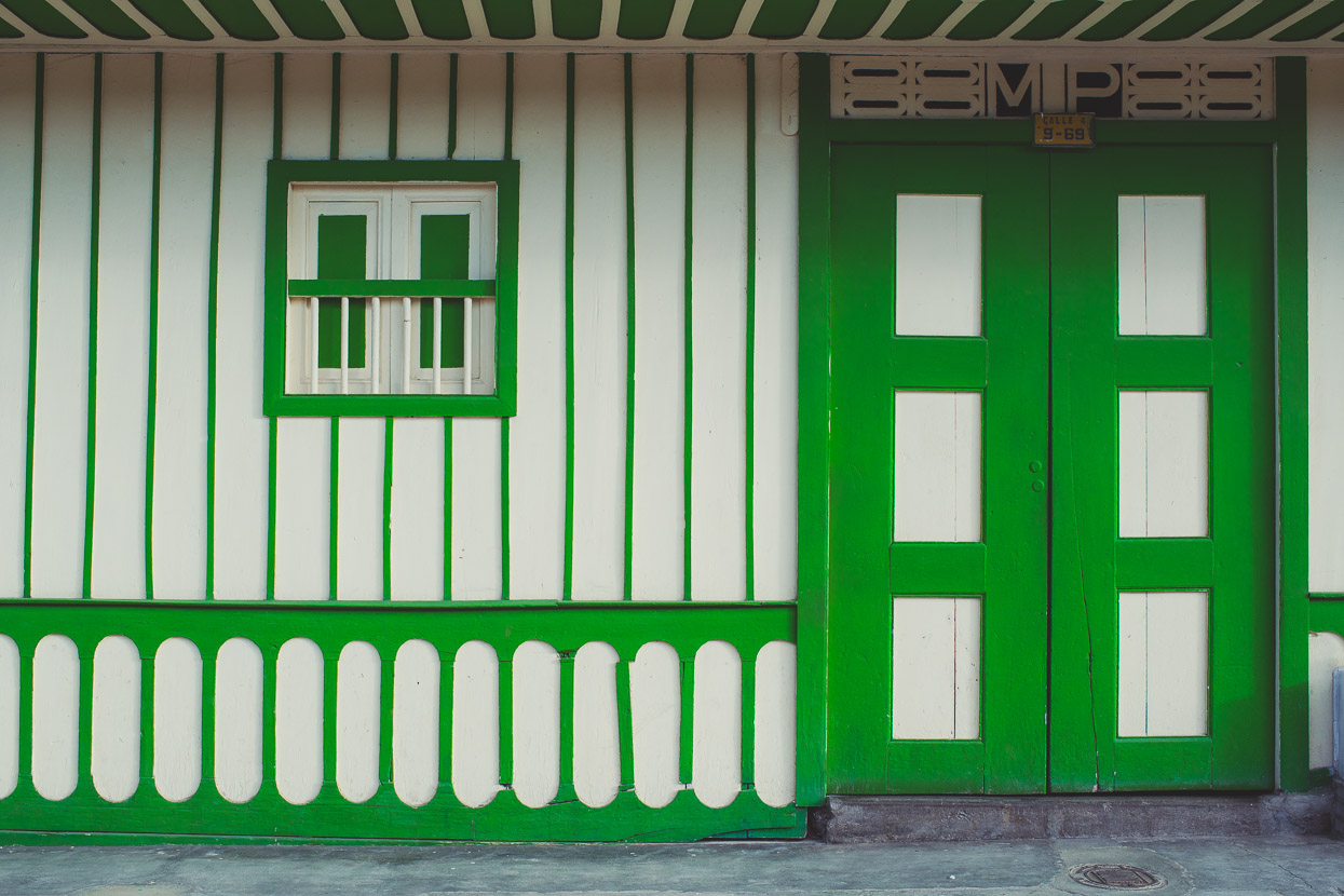
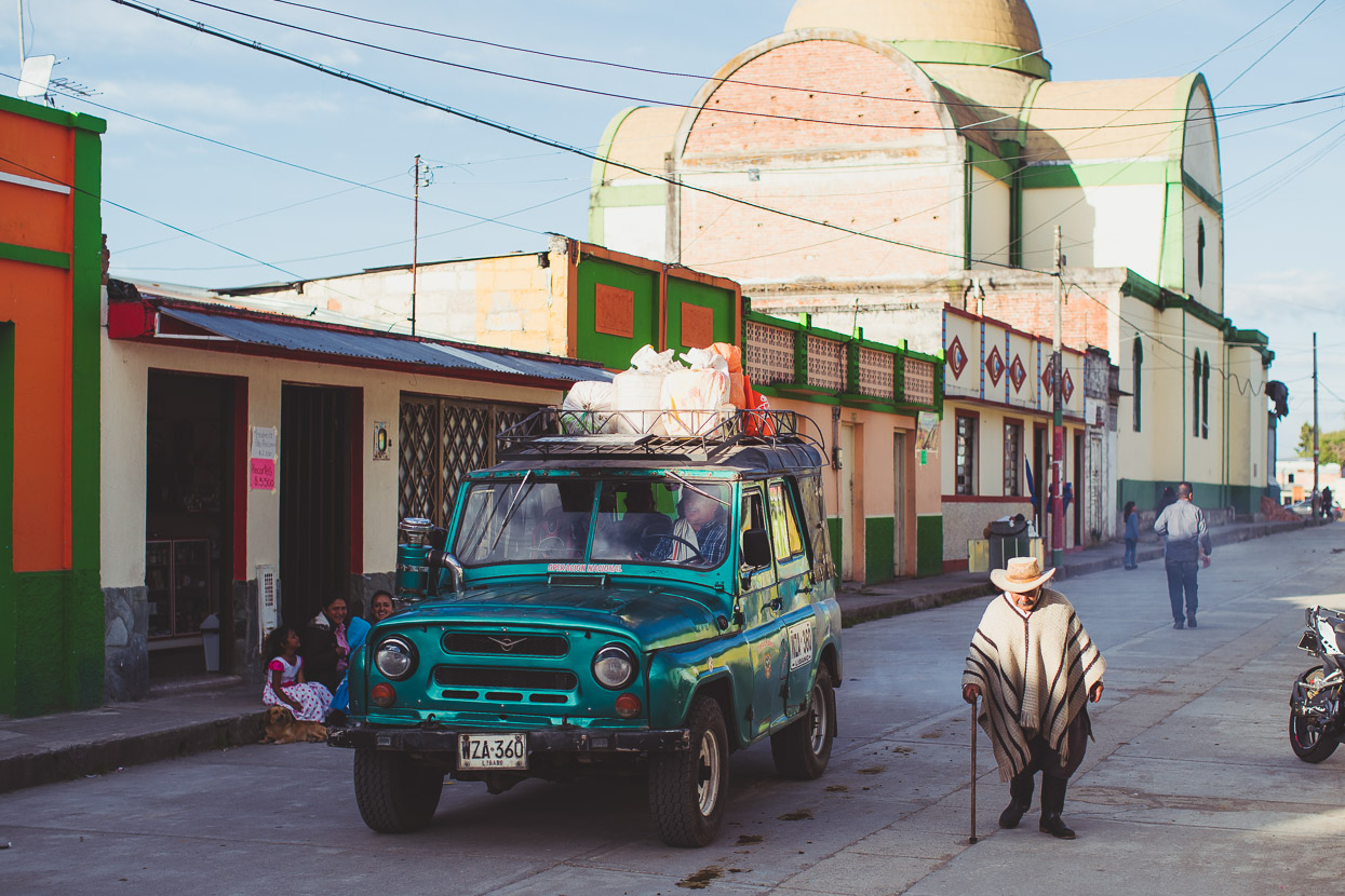
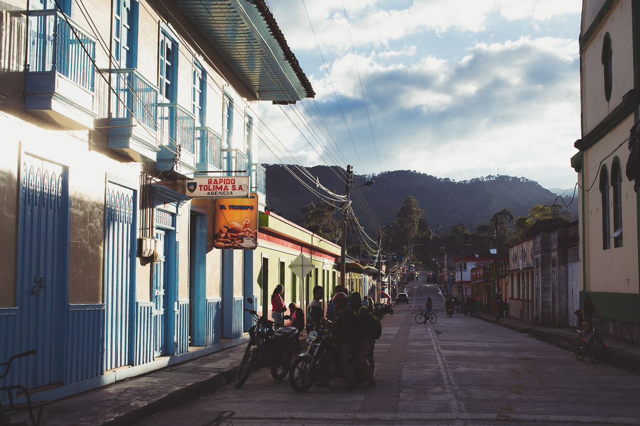
Murillo had a colourful charm, painted in the distinctive style of small towns of the zona cafetera, Colombia’s famous coffee growing region. At 3000 metres though, Murillo was well above the coffee and the mainstays of this small farming town were cattle, goats and sheep. Like many Colombian mountain towns, much of the cattle are for milk.
Sitting on a broad ridge under the shadow of Nevado Ruiz’s ice capped summit, Murillo had a lot of rugged rural charm and is unspoiled by tourism, as most people reach the Los Nevados park from the highway further north. During the day it’s hot in the sun, cold in the shade and you’re more likely to see a horse trot down the road or someone leading a sheep through the village than you are a vehicle.
Although we’d only been back on the bikes two days since Guaduas, we took another day off in Murillo to acclimatise and let our bodies catch up from the fast climb to 3000 metres. We were likely to spend the 2–3 following nights above 4000 metres so it’s good to let yourself adjust.
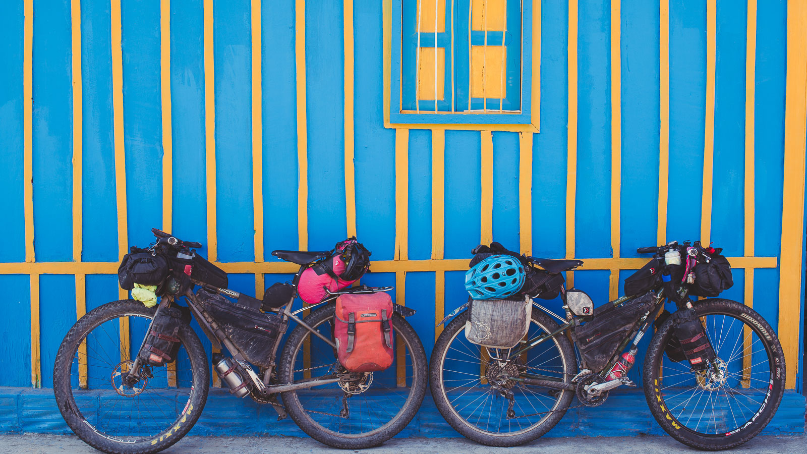
Our home for a couple of nights in Murillo: NZ$15 for a basic room with shared bathroom, wifi, and a couple of cats to talk to.
Our plan from here is uncertain, with two options on the table: either sneaking over the closed 4700m pass on Nevado Ruiz. This fabled pass has been closed to all traffic for a few years due to Ruiz’s Yellow Alert (volcanic activity) status. A few other cyclists have written about their stealth rides over this plum of a bike packing ride, usually starting it under cover of darkness. Our other option is to cross the open (but lower and less spectacular) Old Letras Pass and descend to the city of Manizales before climbing all the way back up to the Potosí park entrance to see more of the mountain. The former option saves a couple of thousand metres of climbing.
Stay tuned and thanks for reading!
Do you enjoy our blog content? Find it useful? We love it when people shout us a beer or contribute to our ongoing expenses!
Creating content for this site – as much as we love it – is time consuming and adds to travel costs. Every little bit helps, and your contributions motivate us to work on more bicycle travel-related content. Up coming: camera kit and photography work flow.
Thanks to Biomaxa, Revelate Designs, Kathmandu, Hope Technology and Pureflow for supporting Alaska to Argentina.





Goodness, a long time between dispatches – I was beginning to worry about you. Great reading .
Thanks Madge – more coming soon… It’s been long gaps between rest days and decent wifi. Hope all’s well 🙂
Muy bellas las imágenes, también sus comentarios y encuentros, espero disfruten lo que les falta en Colombia y que todo vaya bien en su aventura.