Into the Foothills of the Colombian Andes.
After a day off hanging out in the company of the generous people from San Antonio we hit the road again.
Our route, planned out with Ride With GPS, took us into a minor range of granite mountains, before popping us back out by the circuitous ribbon of the Rio Magdalena again. A day of flat valley riding followed before we began gradually climbing into the mountains and some completely different environments and landscapes. It has made a interesting transition, from the steamy lowlands where you never get cold, to 1700 metres, where it’s chilly enough at night that you need shoes and a jacket – a novelty!
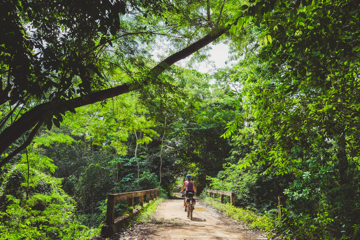
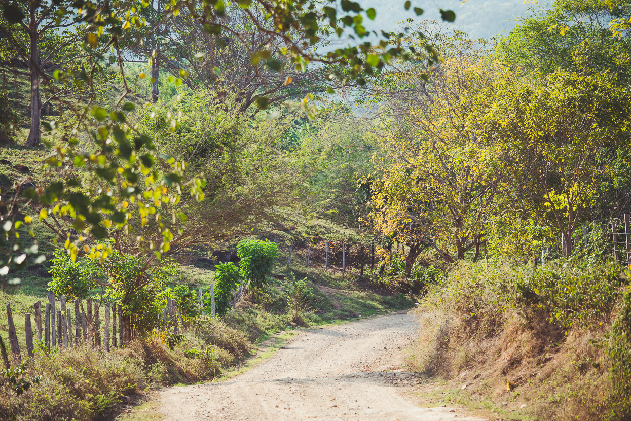
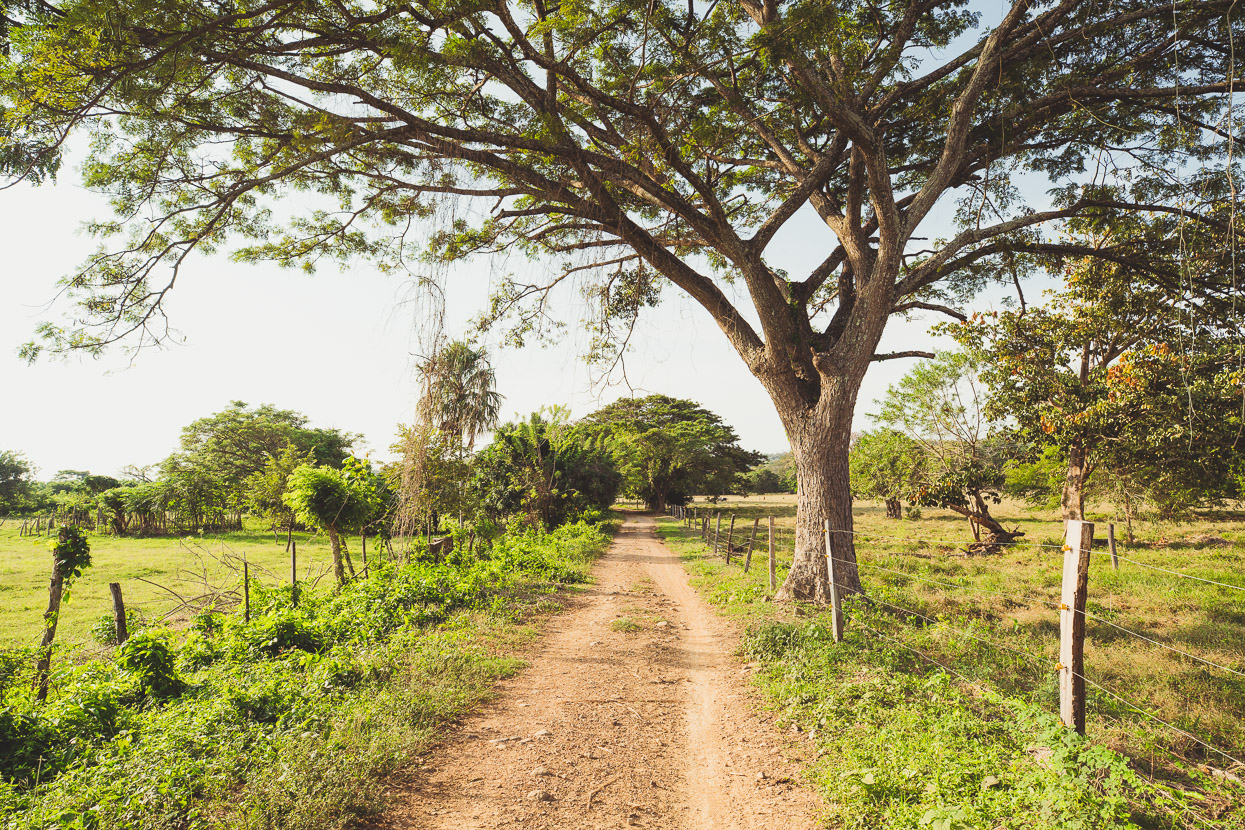
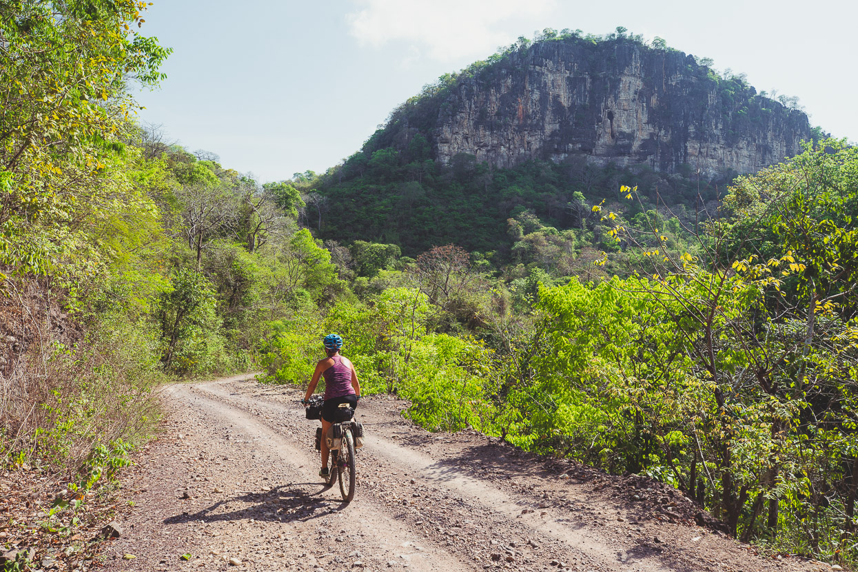
The route on from San Antonio was as we’d hoped: a quiet pedal on narrow dirt roads through forest and fincas.
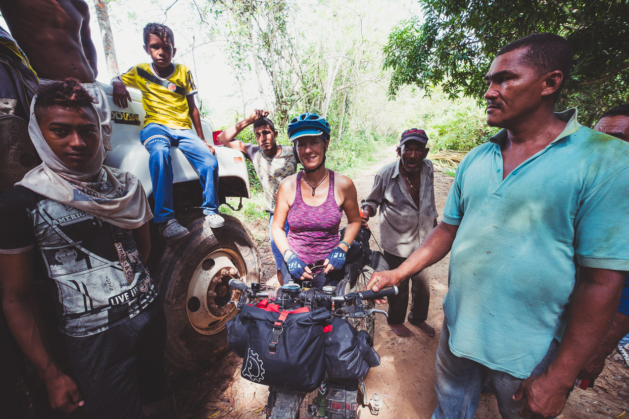
We only saw a few people. This group was harvesting tall trunks of bamboo for construction back in their village. The usual torrent of questions came after we stopped and said hello.
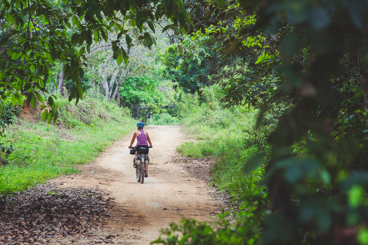
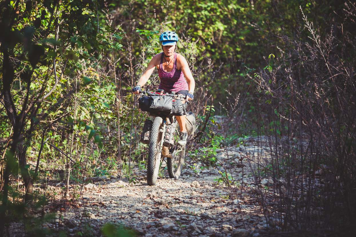
But much of the time it was barely even what you’d call a road. There was a line swept clean by motorbike traffic and at times, even though road-width, it rode like single track.
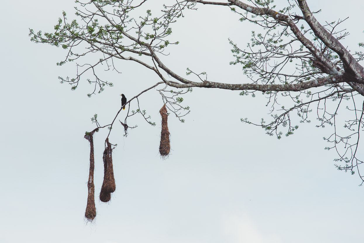
Oropendola nests. We first saw these birds in Mexico (and heard their distinctive calls), and they’ve remained fairly common on lowland forested areas. They like the tall trees for their nests.
Perfect riding.
Below – no gas stations in this region – need to fill up you buy a few dollars worth from a small village stall.
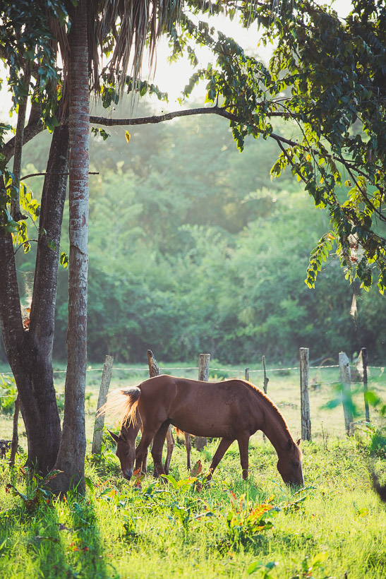
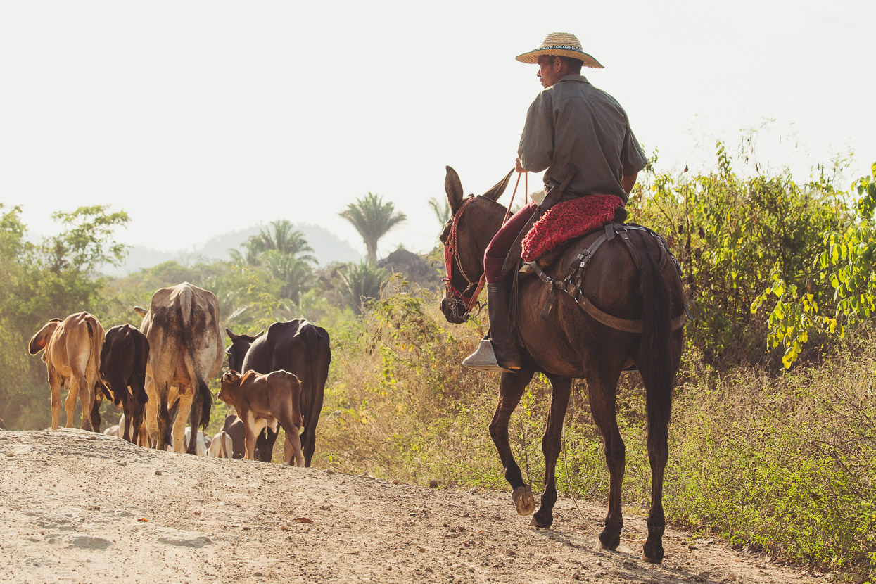
We saw the odd motorbike and a couple of 4WDs but more people on horseback than anything. Any concerns about ELN in the region were allayed by the small military patrol base we saw in a village. The soldiers were standing around looking hot and bored.
We rolled down out of the hills onto the plain as the sun was setting and throwing an orange glow over the land. It had become much drier, the lushness of the forests we’d been in during the day gone.
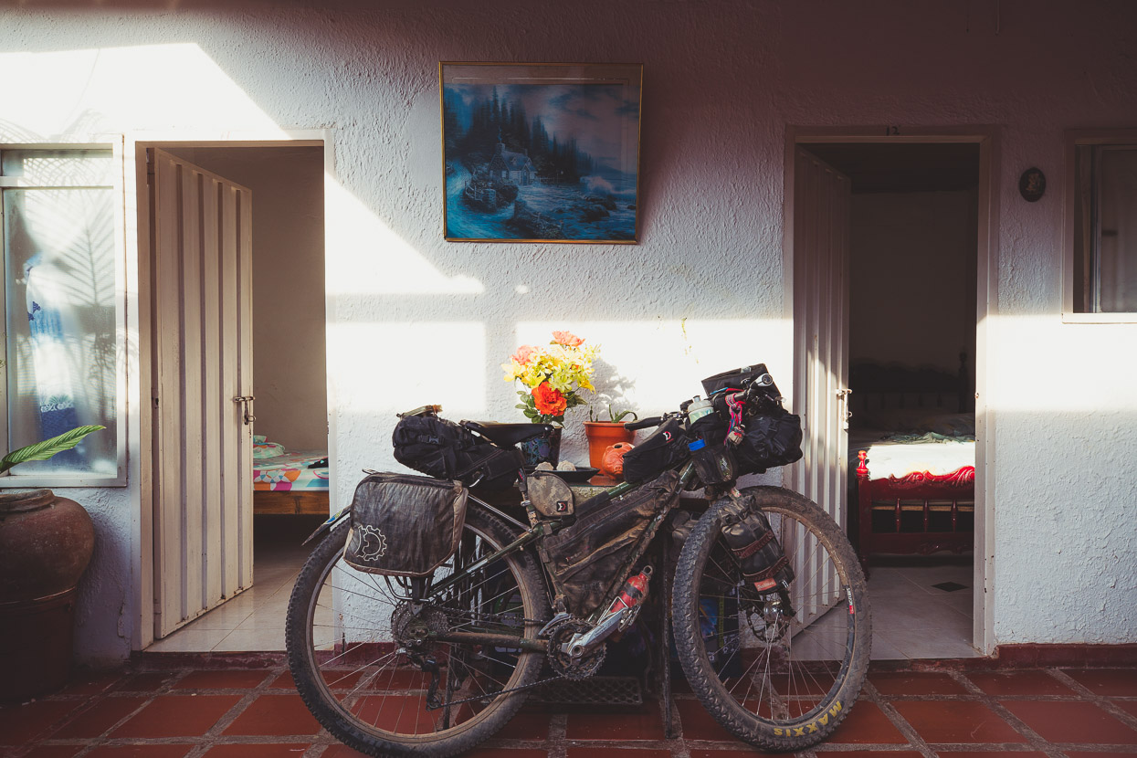
Away from Cartagena (and other tourist hot spots), hotel rooms in small towns are dirt cheap. This one in Arenal del Sur was about NZ$14 and a meal of grilled chicken with rice, salad and patacones (crushed fried platano) sets you back about another NZ$3.50.
The morning brought more perfect riding on motorbike tracks and we headed back to the ranges for a brief jaunt. We could have stayed on dirt along near the river too, but the remoter routes are generally more fun and the hills always call.
The moto track started to climb into scrubby dry hills and soon turned into more of a walking track on an overgrown, abandoned road. It was 100% rideable up to a small saddle where it then dropped more roughly (but still rideable) down a rubble covered road into a valley.
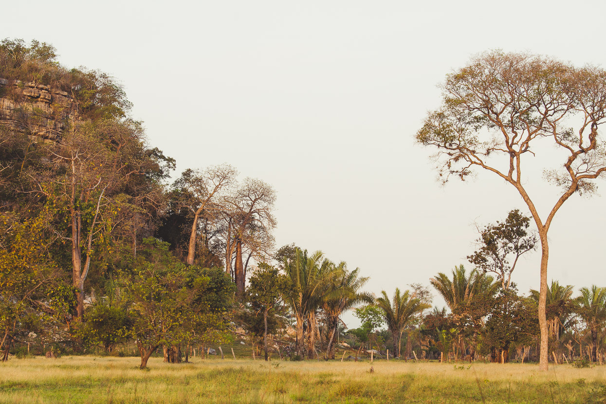
We wondered if we might be making a bad decision, but suddenly popped out onto a much better road that wove past cliffs and pockets of forest in a quiet valley. We even heard some distant howler monkeys.
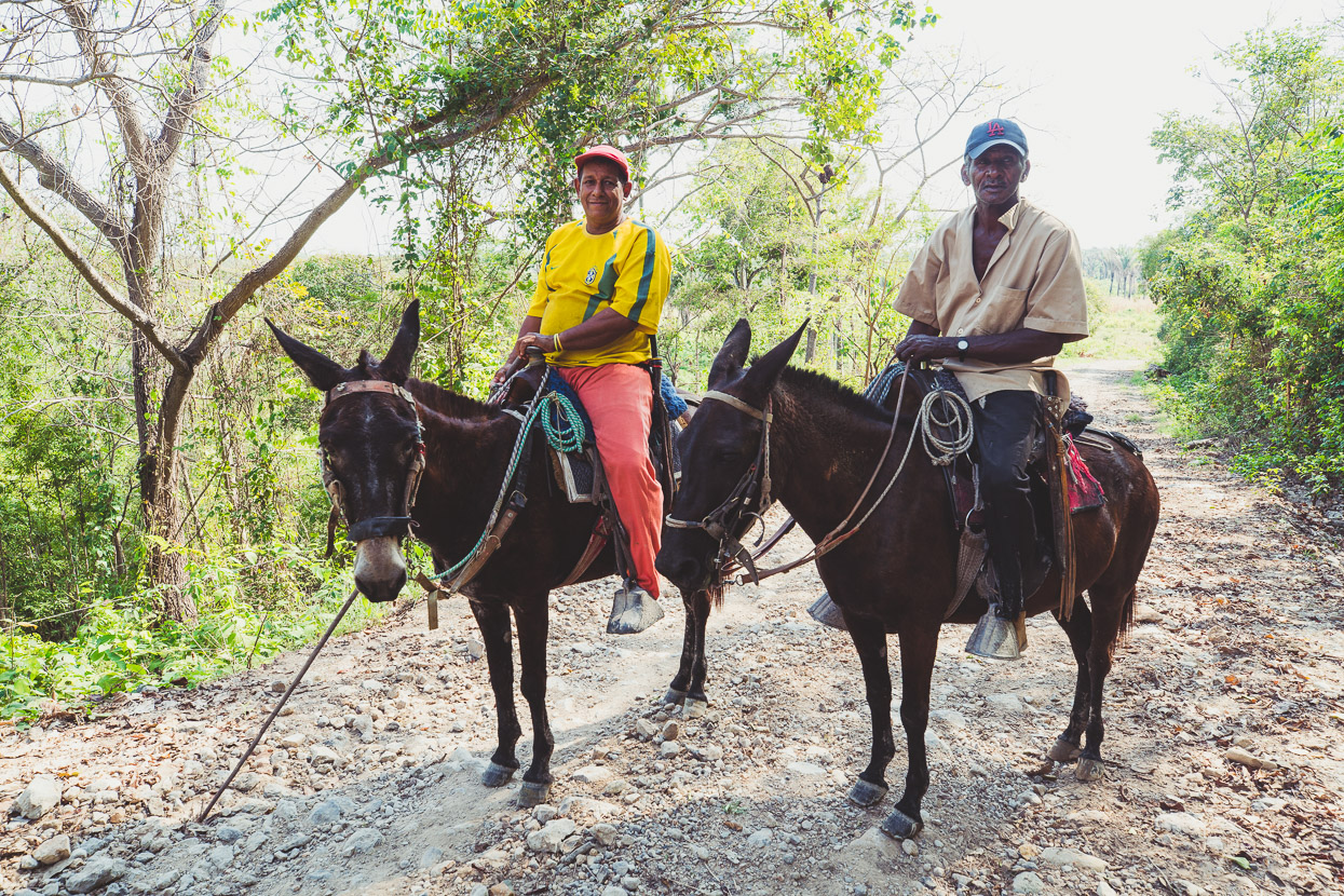
Dropping down towards the plain again we met these two characters who were happy to stop for a chat. They were off to check on their cows. A beautiful place for them to hang out for the afternoon.
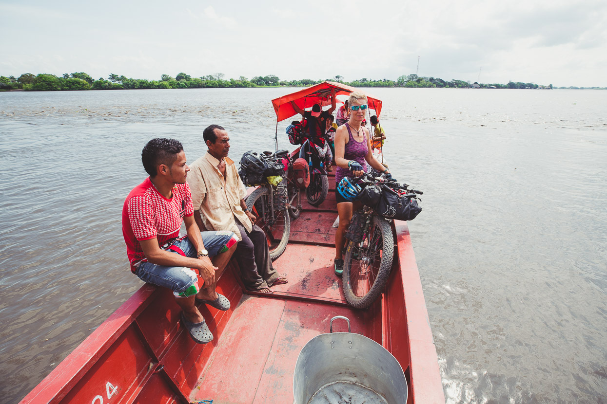
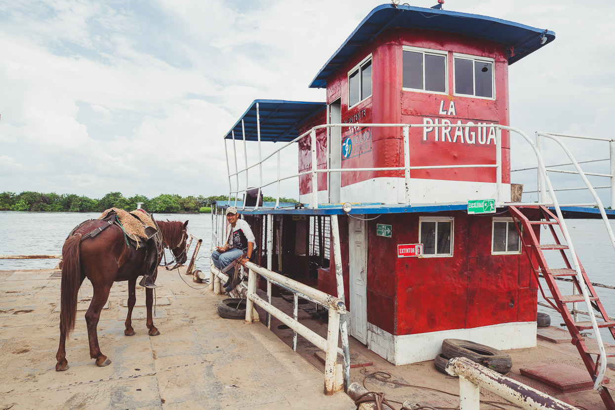
We picked up the pace across the flat and then caught yet another ‘Johnson’ across an arm of the Magdalena to Morales. Like the area around Mompox, this region too is still mostly river arms, lakes, lagoons and ponds. All linked by dirt tracks and small ferries like the one we were on.
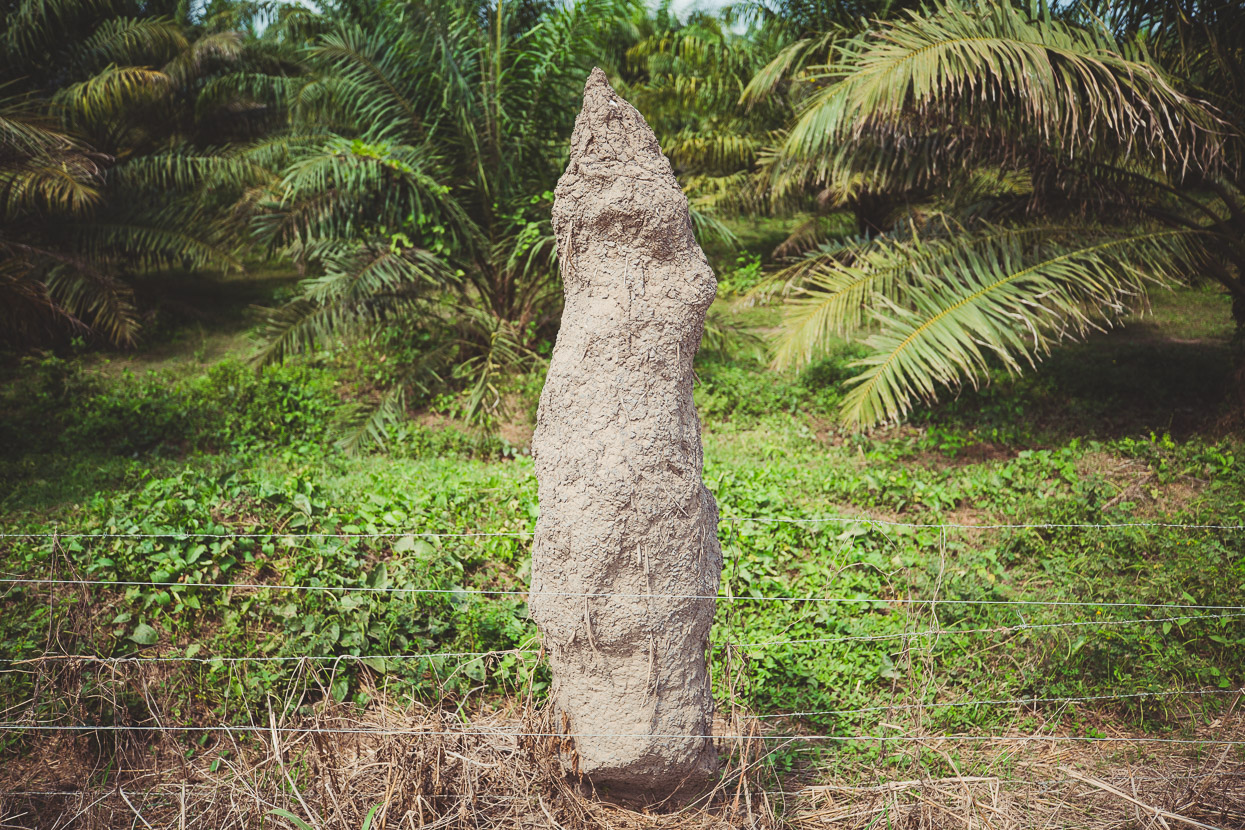
A fencepost made a good foundation for this termite nest.
In lieu of a bridge, this ferry that crosses the main branch of the Rio Magdalena is free, and deposited us in Gamarra, where we got a bite of lunch before hitting the pavement out to Aguachica and Highway 45. Goodbye dirt for the next 3-4 days.
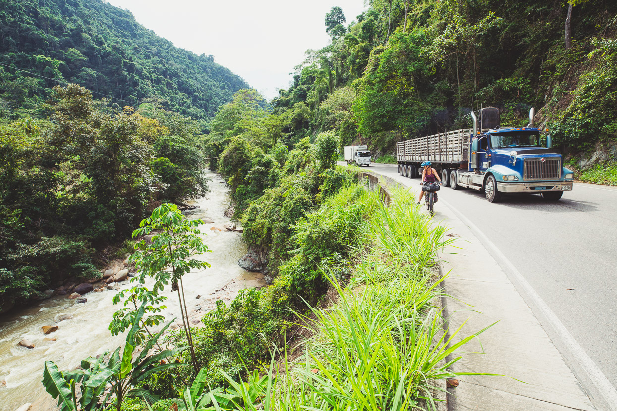
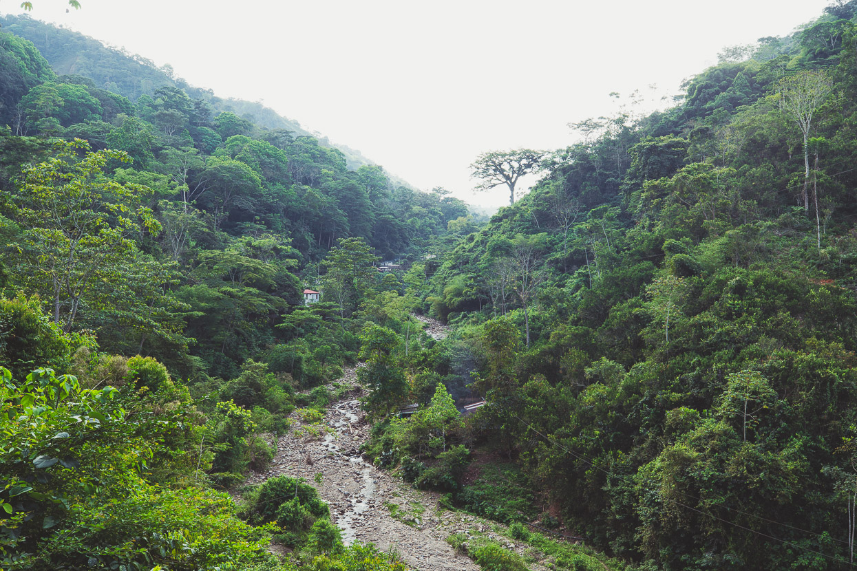
After a night in a highway hotel we pounded a bit more flat pavement and then turned away from the plains and into the Andean foothills. With our climbing legs long gone we took it fairly easy. The road was busier than we would have liked but the scenery made up for it, with deep valleys, rivers and lush surroundings.
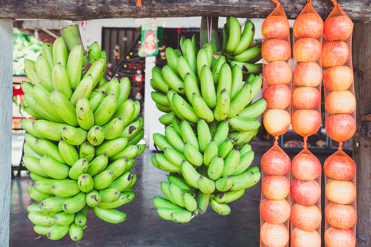
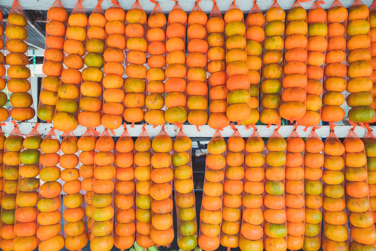
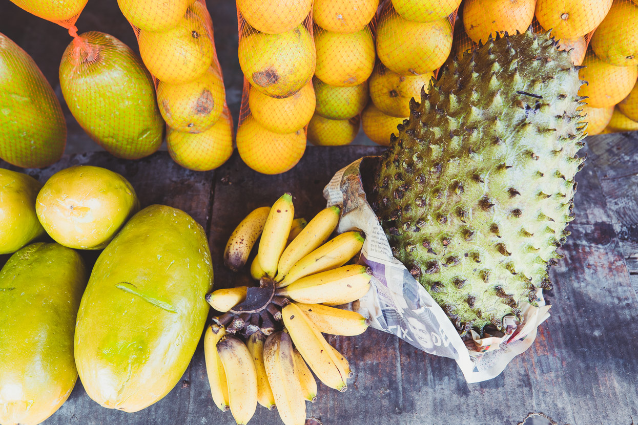
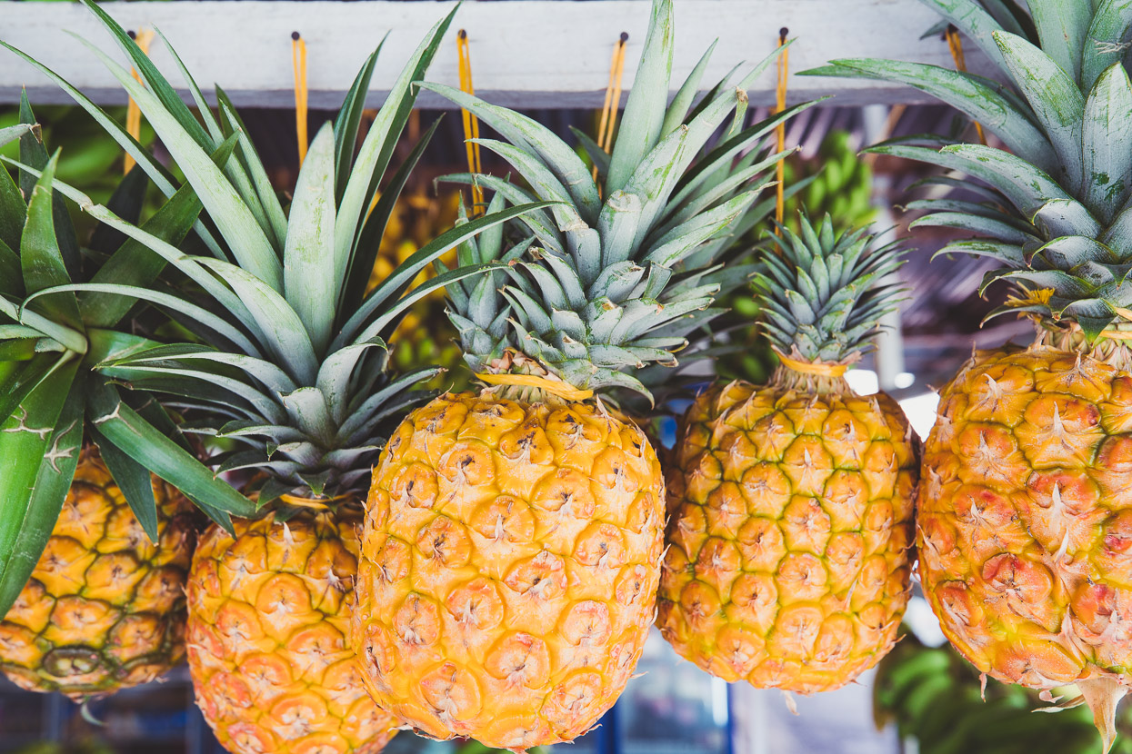
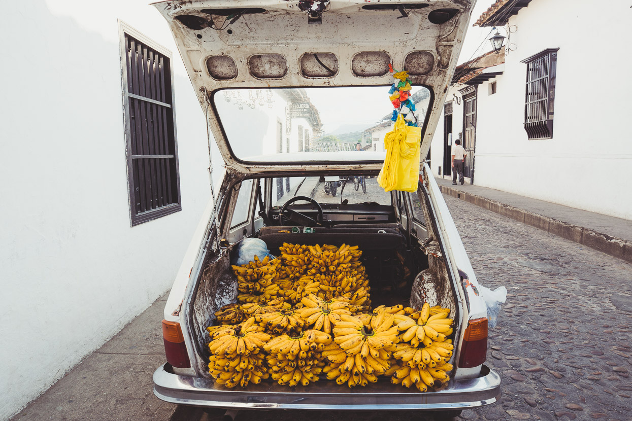
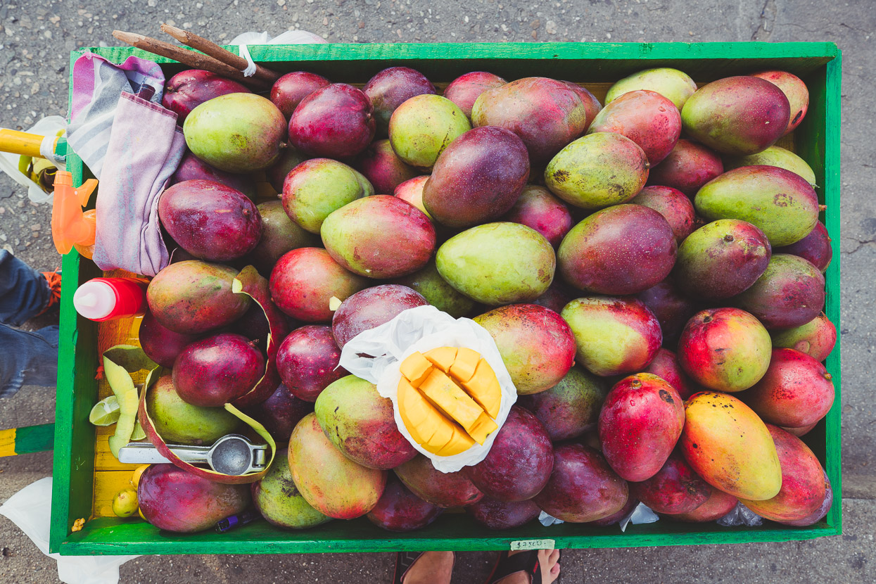
All that highway traffic meant abundant fruit stalls – fresh, delicious and cheap.
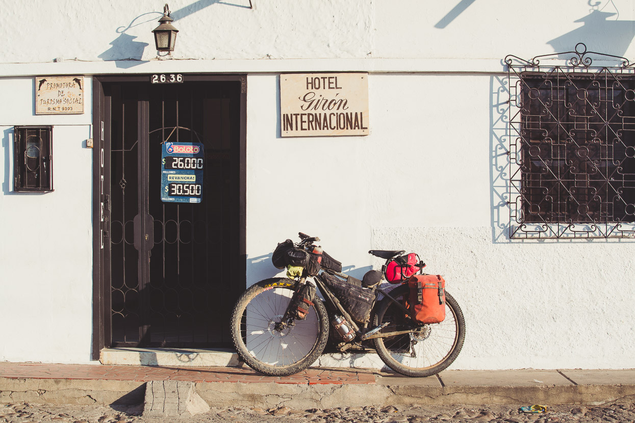
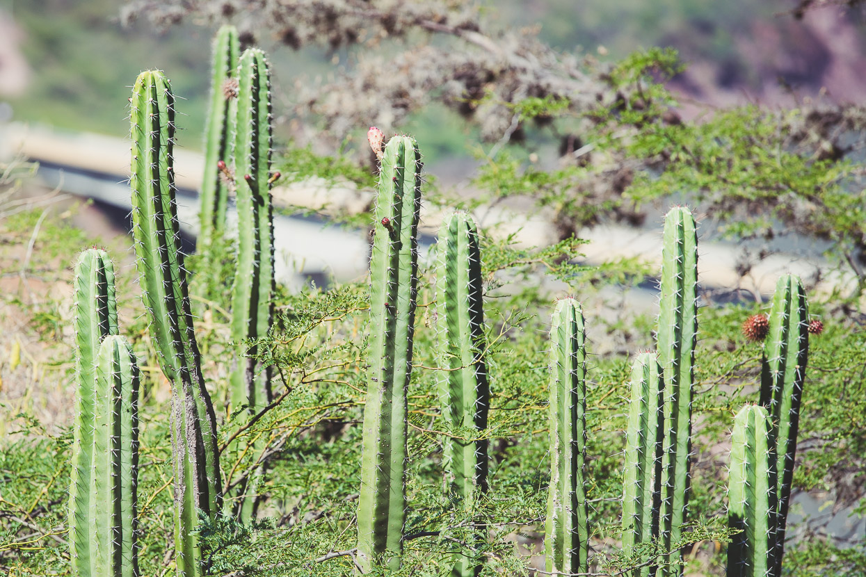
The town of Gíron, an outlier of the much bigger city of Bucaramanga made a pleasant place to stay. At 800 metres, it was still baking hot during the day, but pleasantly ‘fresh’ (as they say here) in the evenings. The surroundings had transformed yet again too; we’d left behind the jungle for a much more desert-like environment of scrubland, cactus and hoodoos eroded into the hillsides.
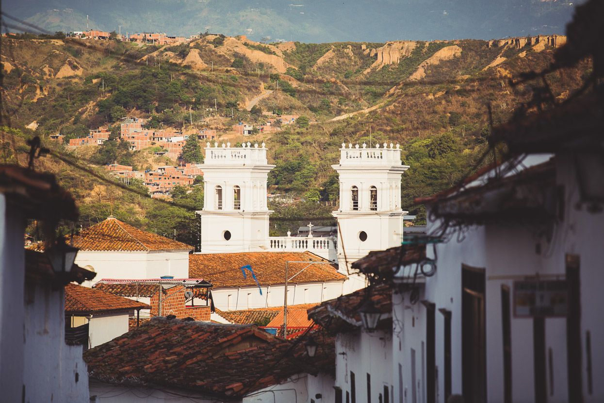
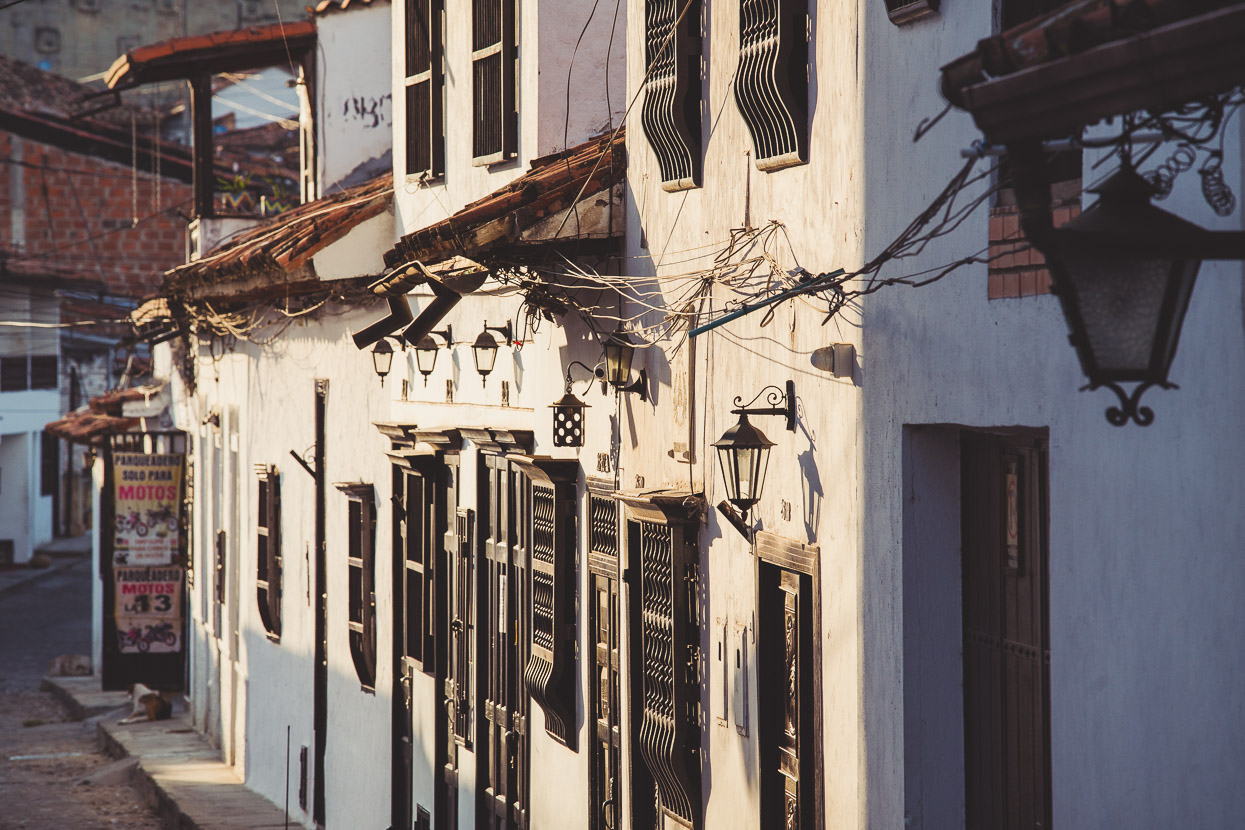
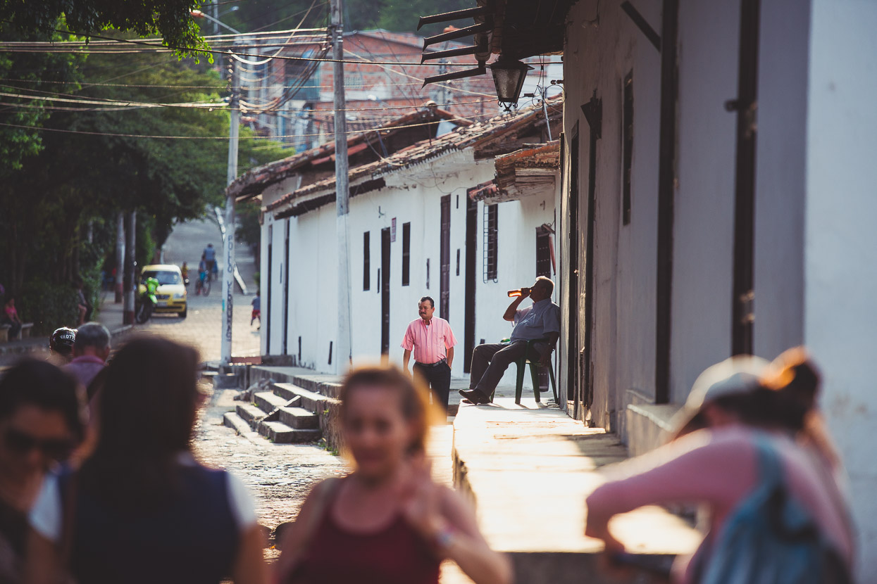
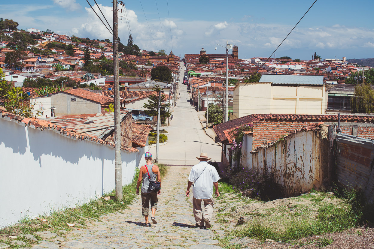
Gíron’s a classic colonial town with cobbled streets, but unlike others we’ve visited it’s completely white, making a very simple colour palette with the terracotta tile roofs.
I’d been carrying a lingering cold since Cartagena and so we ended up taking three days off to try and shake it, while Hana got some dental work attended to as well. It was a nice spot to hang out and inexpensive if you shop around for food and accommodation.
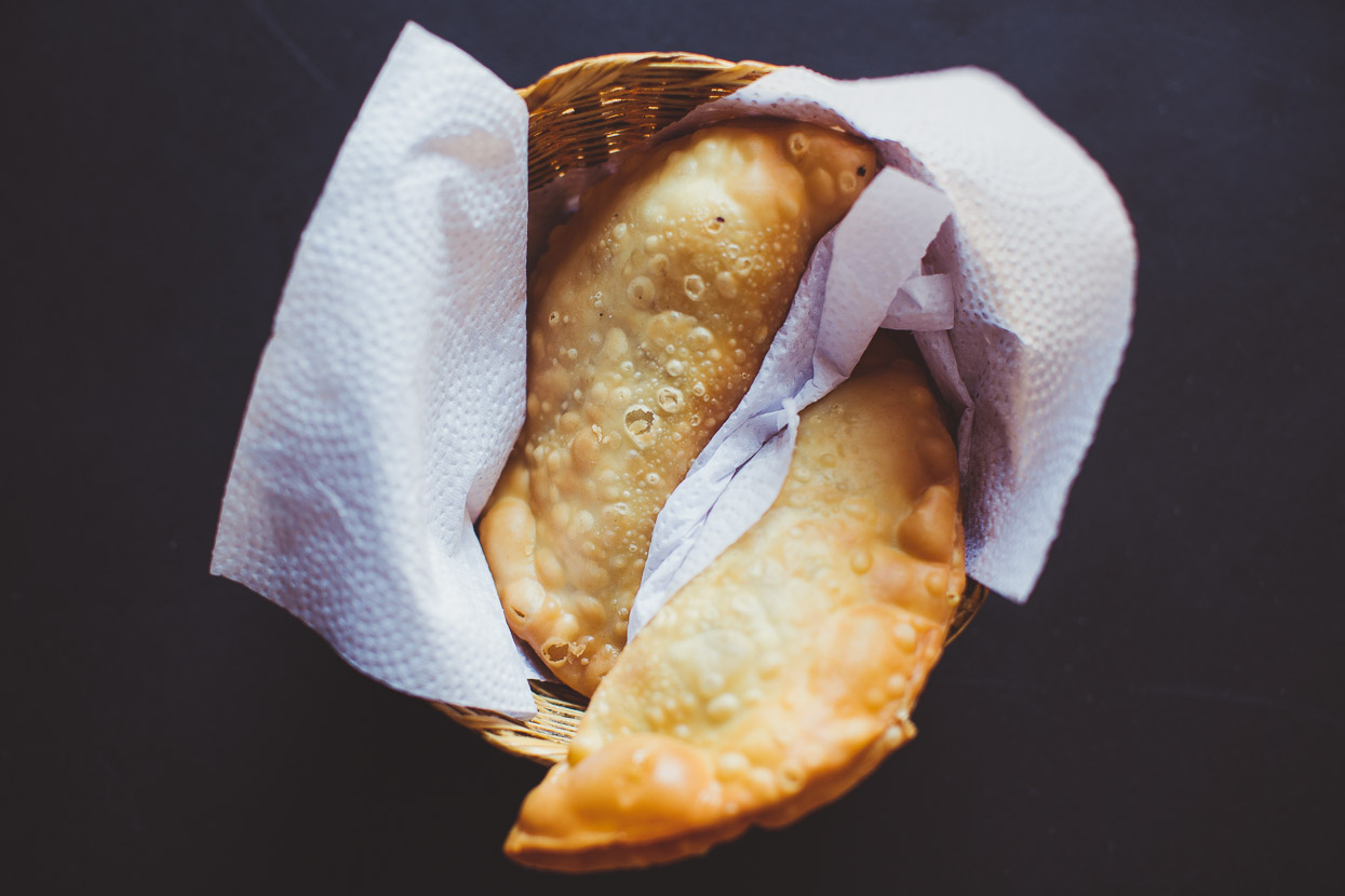
Plenty of vendors selling food in the street. We’ve been loving the perfect mangos and it’s great to finally see empanadas – usually filled with meat, egg and a bit of rice.
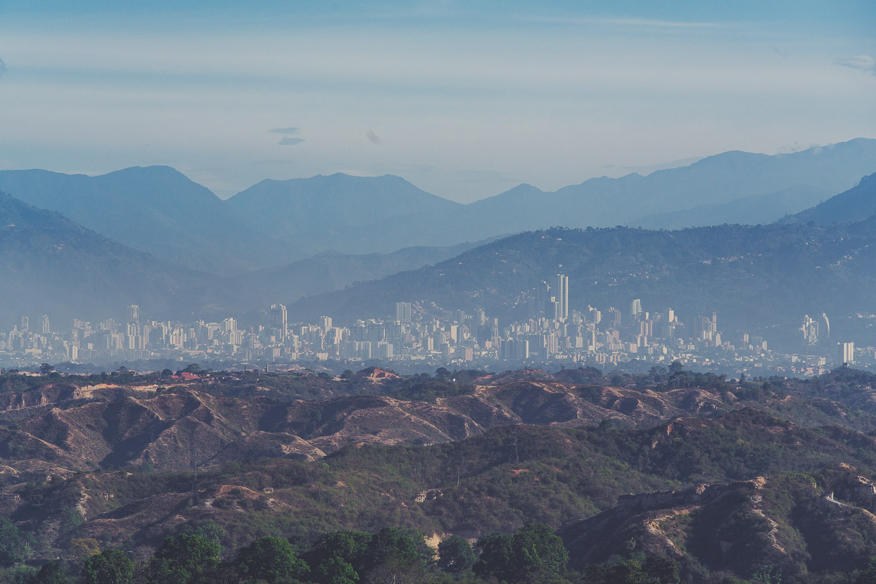
On a plateau above Gíron sits Bucaramanga, Colombia’s 9th largest city, at just over 500,000 people. We got this view as we climbed out of Gíron on a dusty road, headed for Zapatoca.
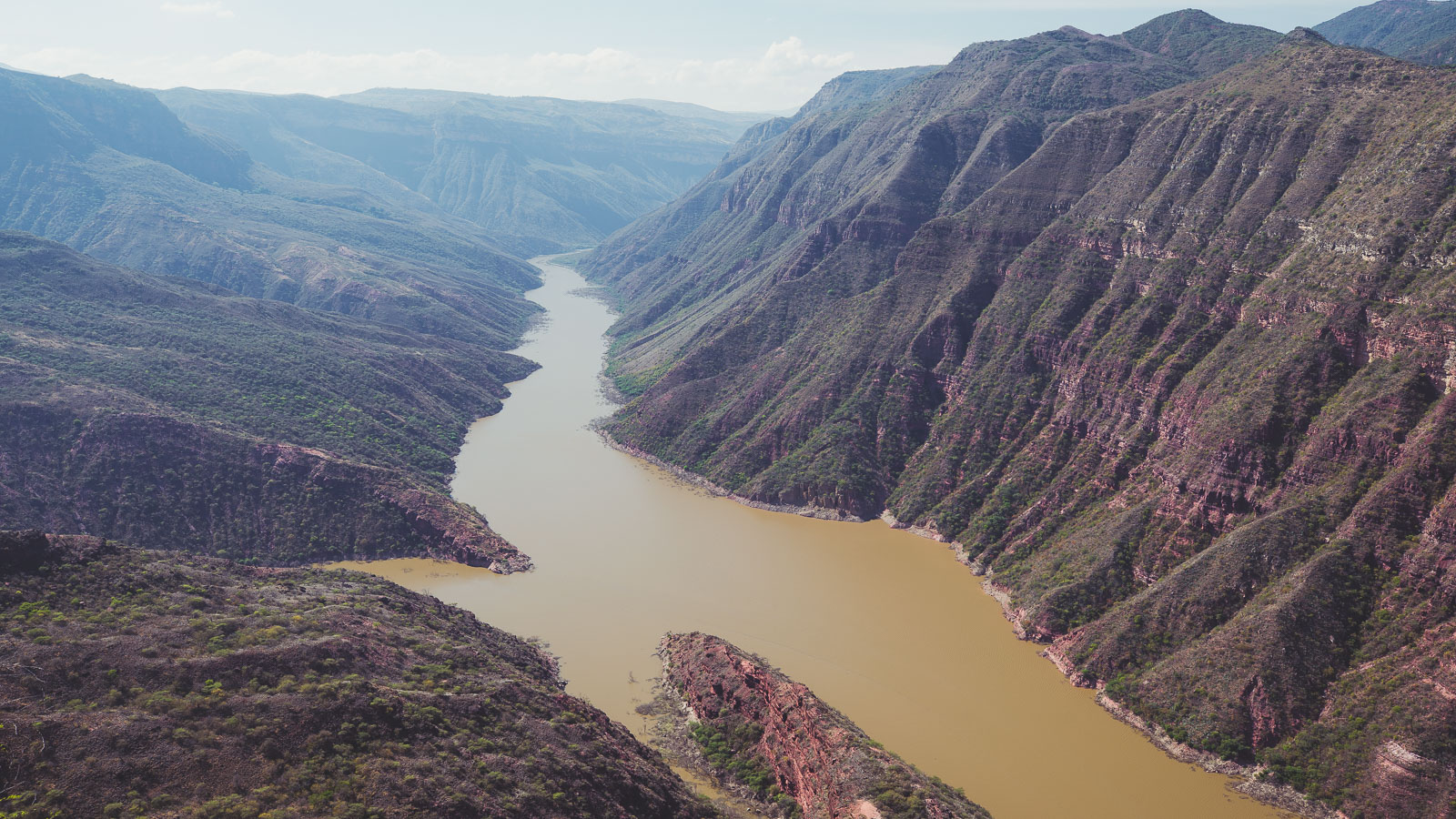
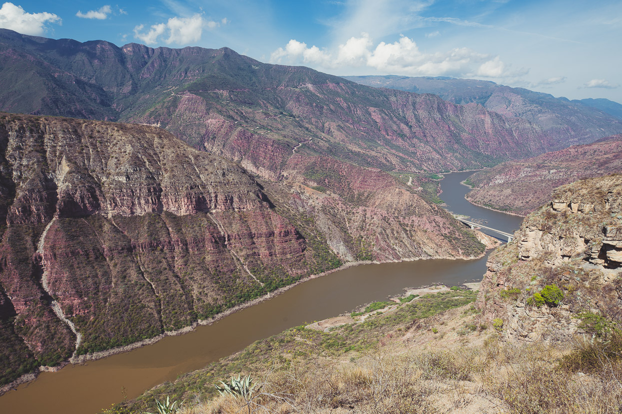
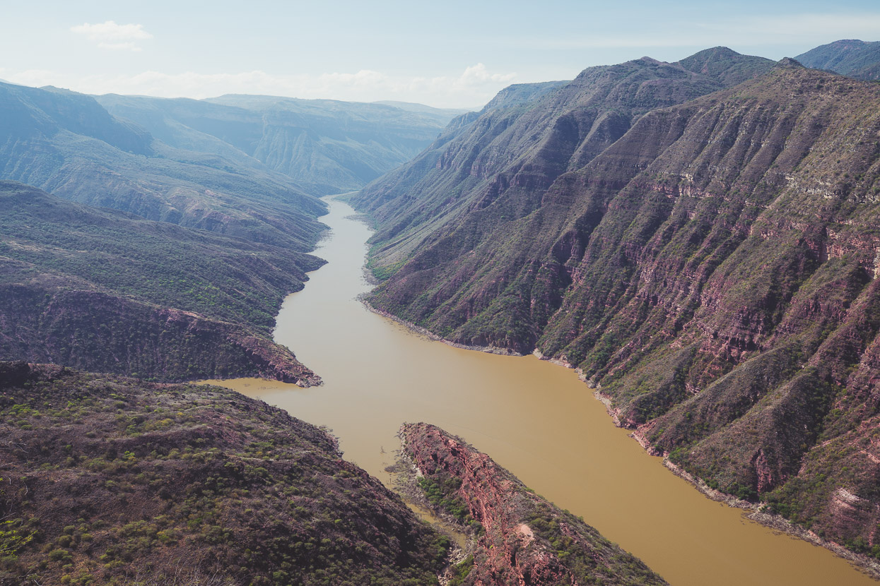
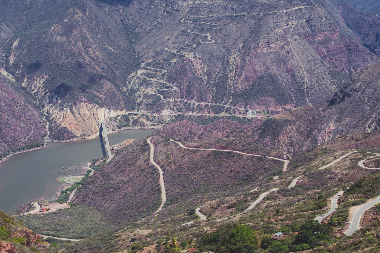
Separating us from Zapatoca was the gigantic valley of the Rio Sogamosa – a Grand Canyon-like rift in the earth that’s been slowly eroded by the inexorable flow of the river. It was great to be back in some spectacular mountain country.
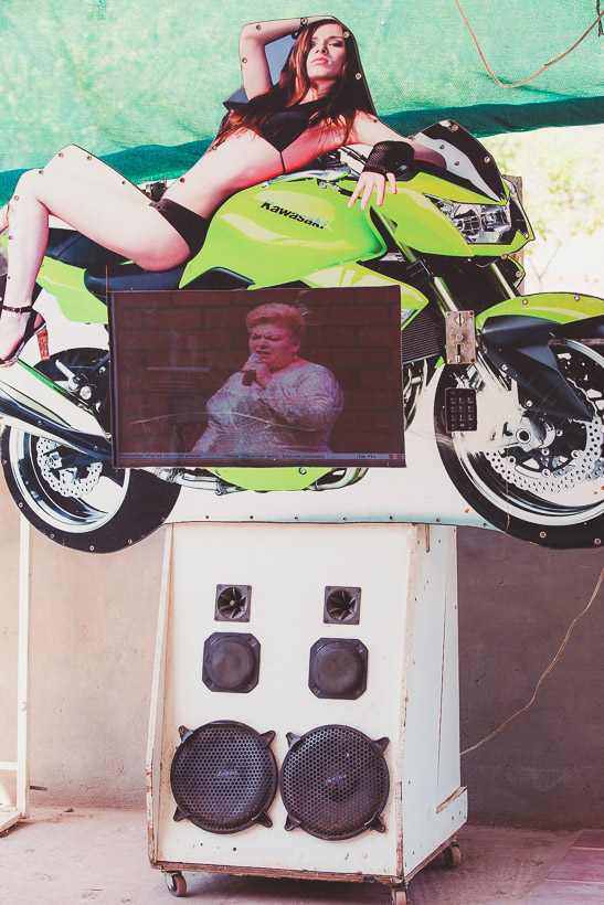
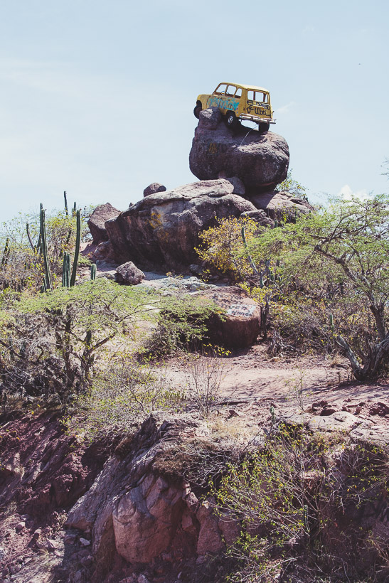
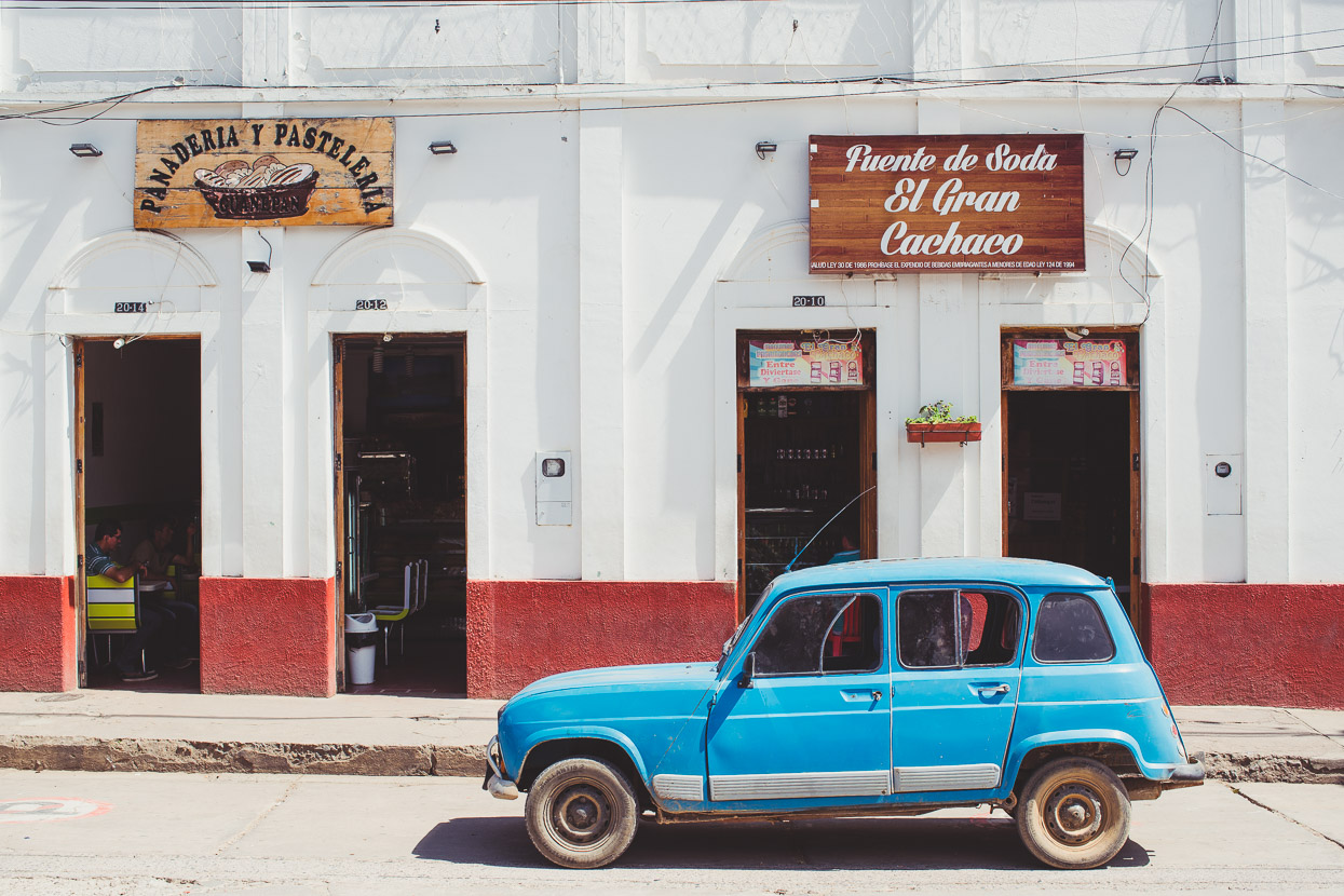
Duke box – Colombian style.
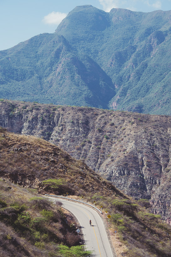
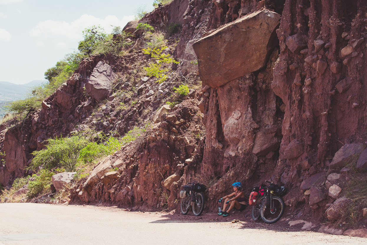
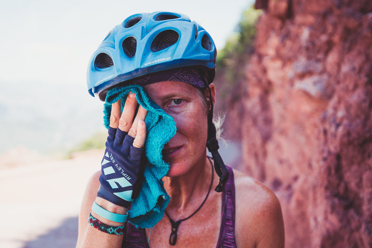
The other thing separating us from Zapatoca was an over 1400 metre climb, and it was already a searing and dry 35 deg C as we slowly pedalled upwards from the bridge. Soon salt rings crusted our clothing and shade was near impossible to find. Considering we’ve been in a tropical climate for months now we should have been used to it, but big climbs are different as you don’t get the cooling effect of airflow on your skin and the body temp just goes up and up.
Any port in a storm… We stopped for a lunch break at a small kiosko/mirador about halfway up and some nice Colombian tourists bought us a Coke.
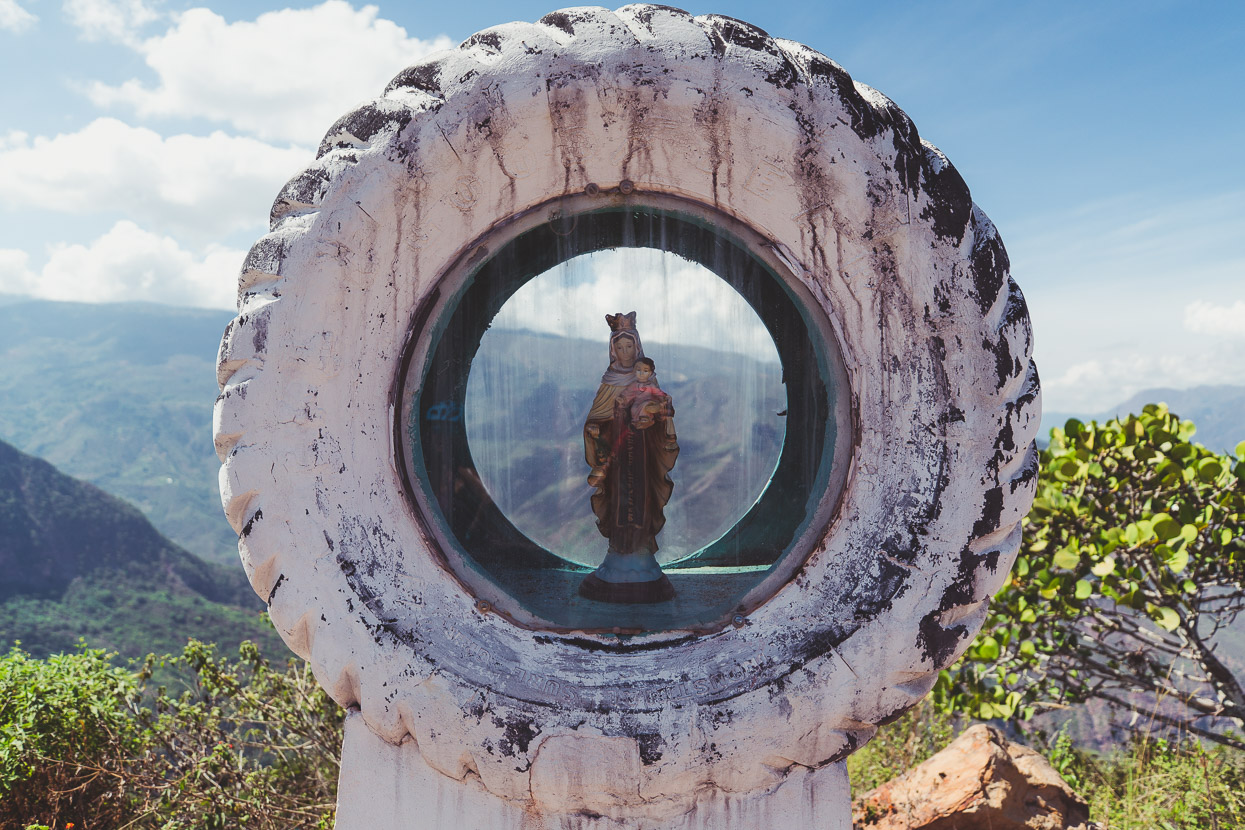
La Virgen, ubiquitous on the highpoints of Colombian roads, and always in different styles and variations.
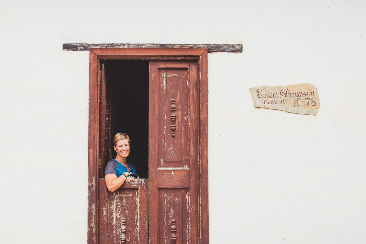
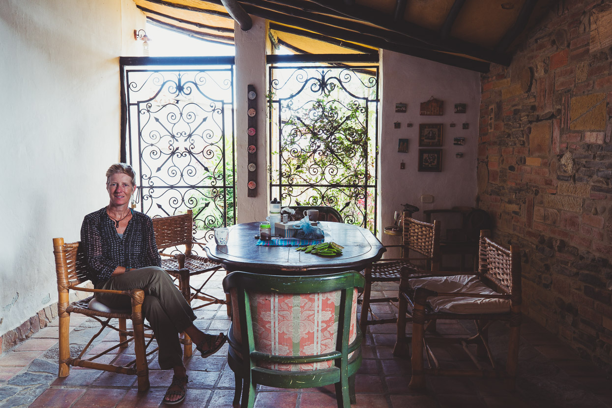
We bumped our way through Zapatoca’s cobbled streets and were happy to arrive at the home of Armando and Sonia, our Warmshowers hosts for the next couple of nights.
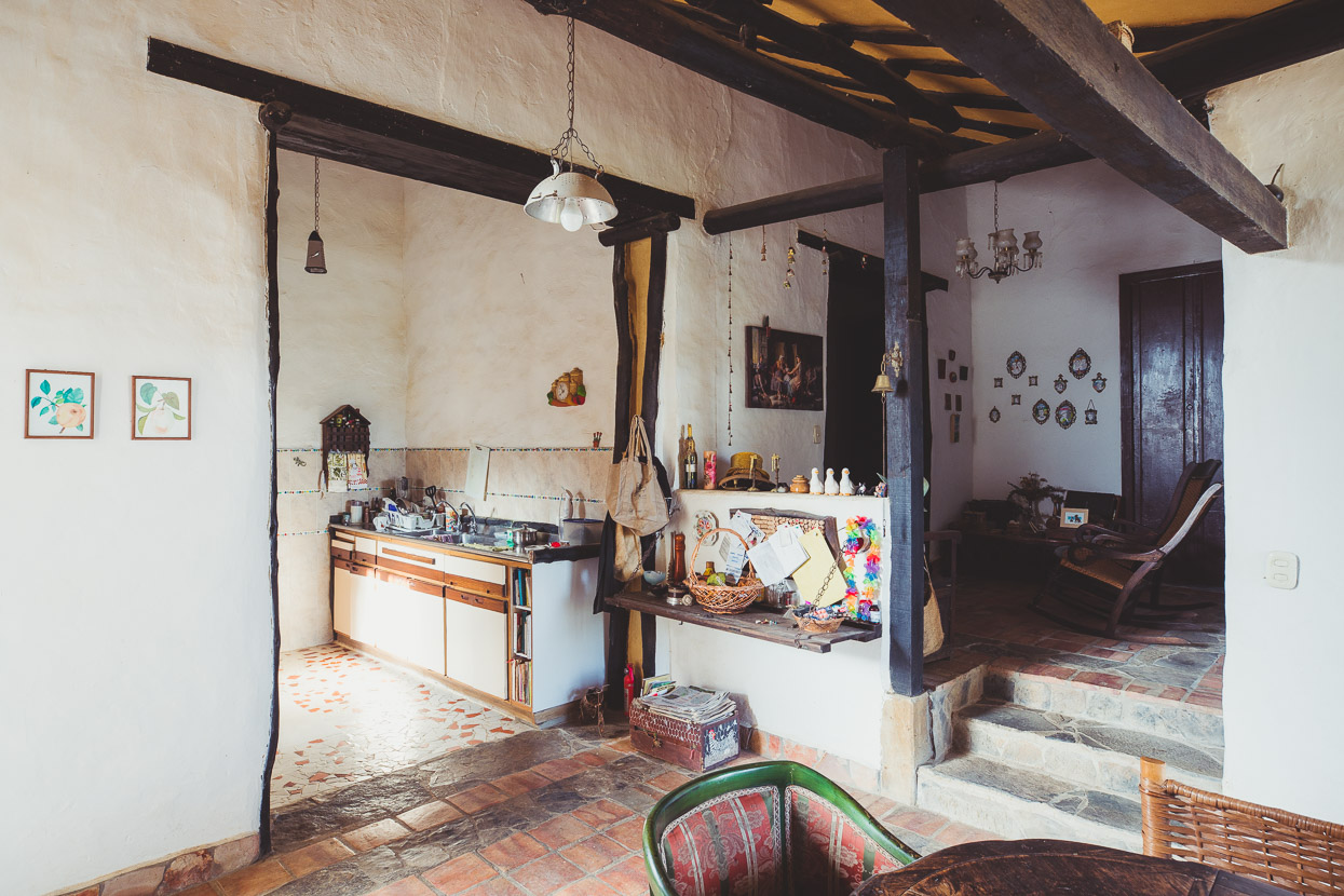
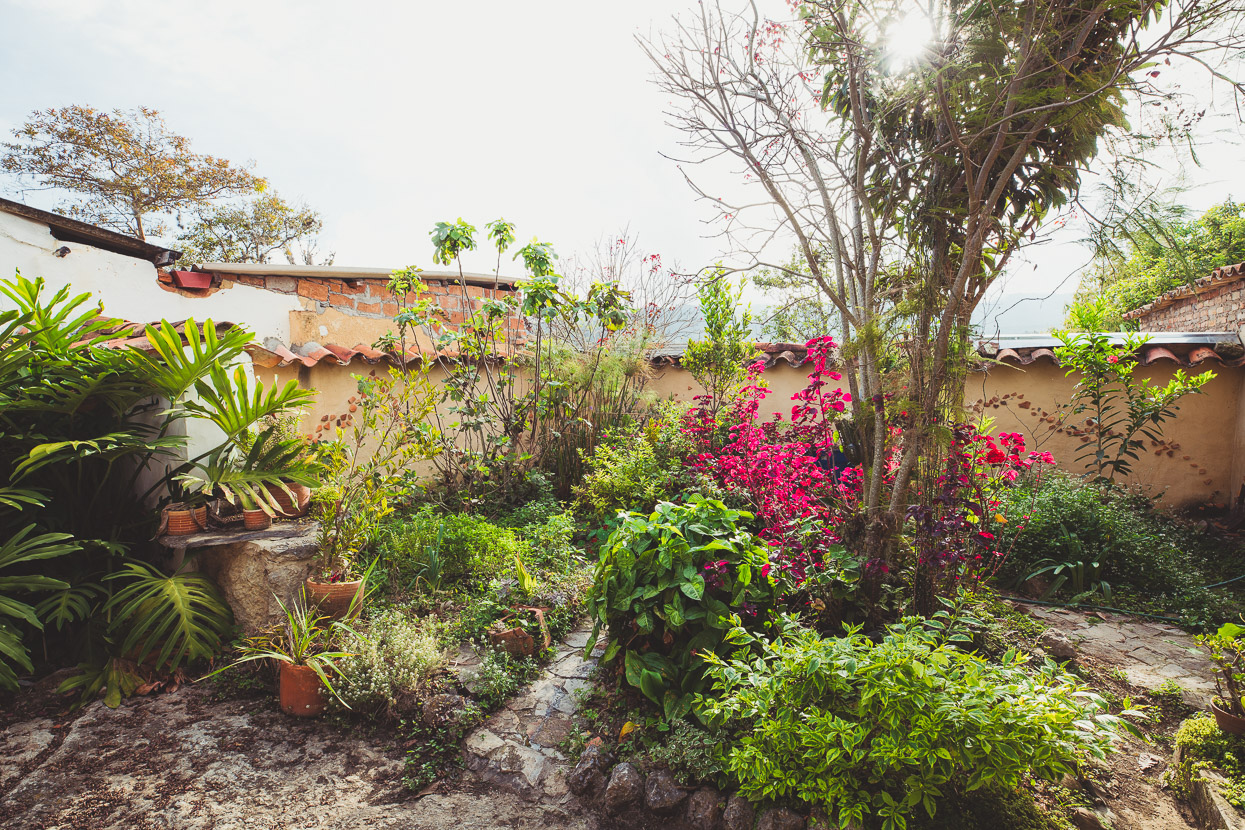
It was a beautiful – centuries old – home, with a rambling bohemian feel.
Interestingly, even though it cools off considerably here in the evening, much of the house is open to the air or has simple shutters.
Armando and Sonia were great hosts – introducing us to their friends, taking us to the best places in sleepy Zapatoca for hearty almuerzos and showing us around town. They were a really nice couple of days, no longer travelling as outsiders in Colombia but as part of Zapatoca’s close community. Experiences like this make all the difference.
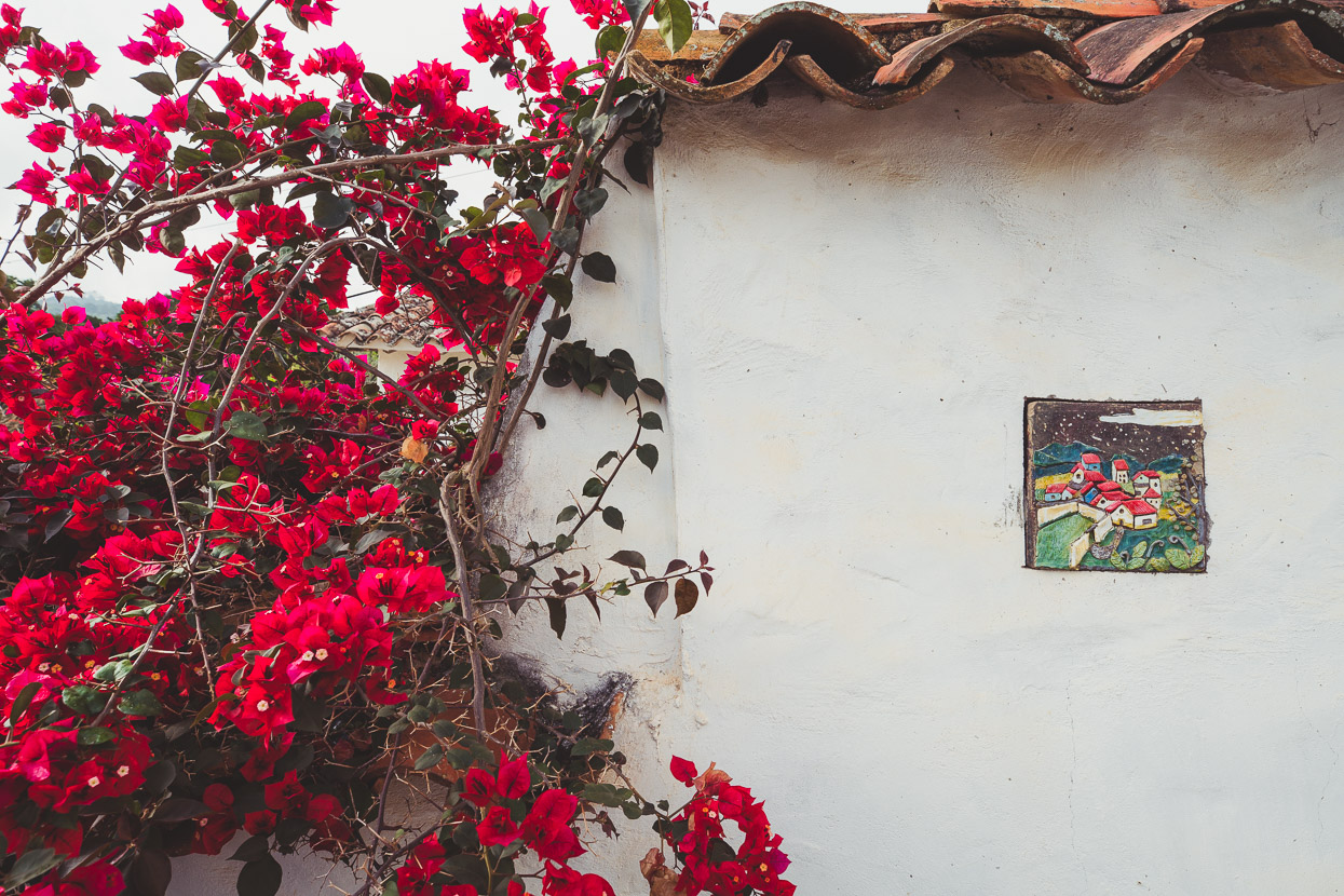
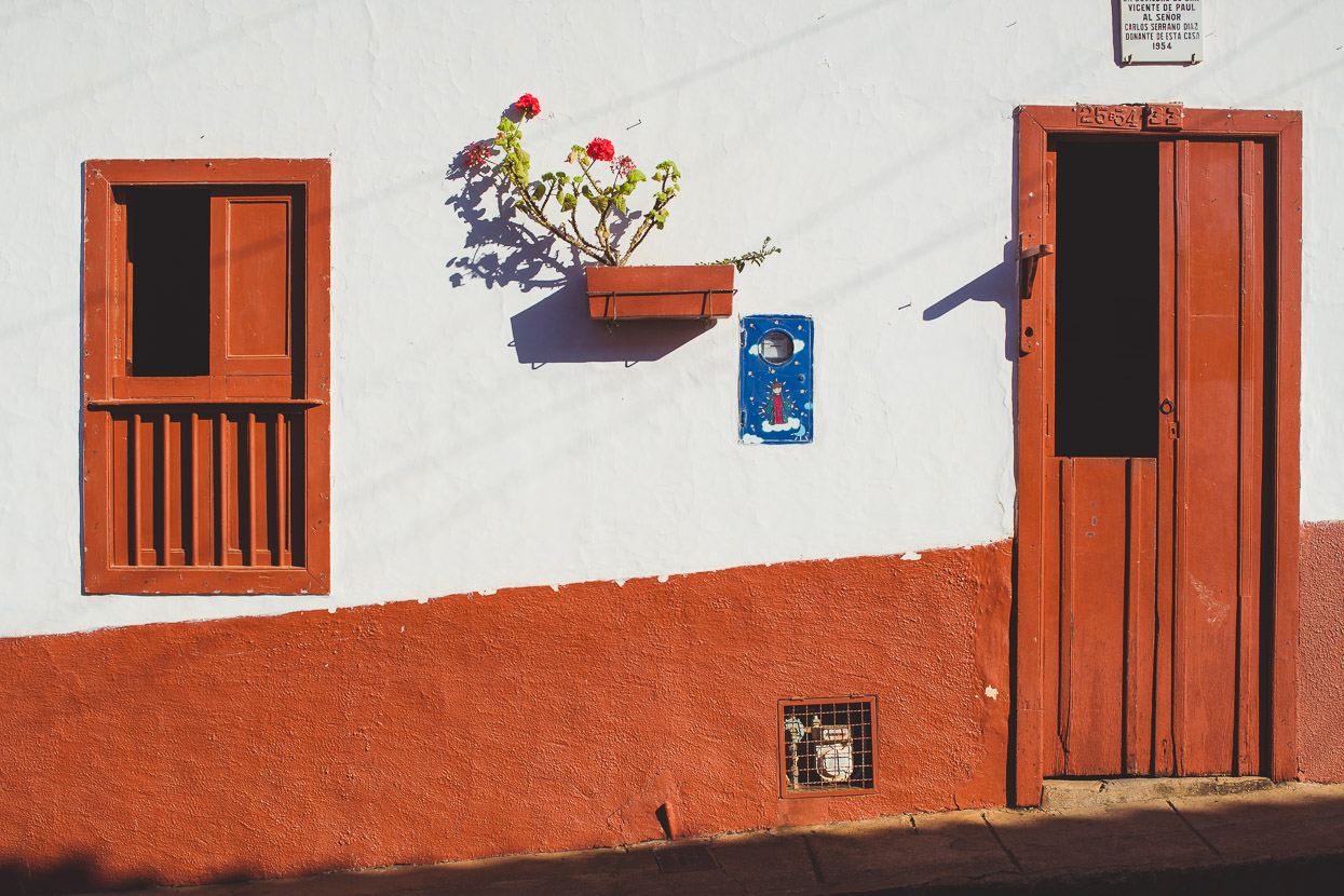
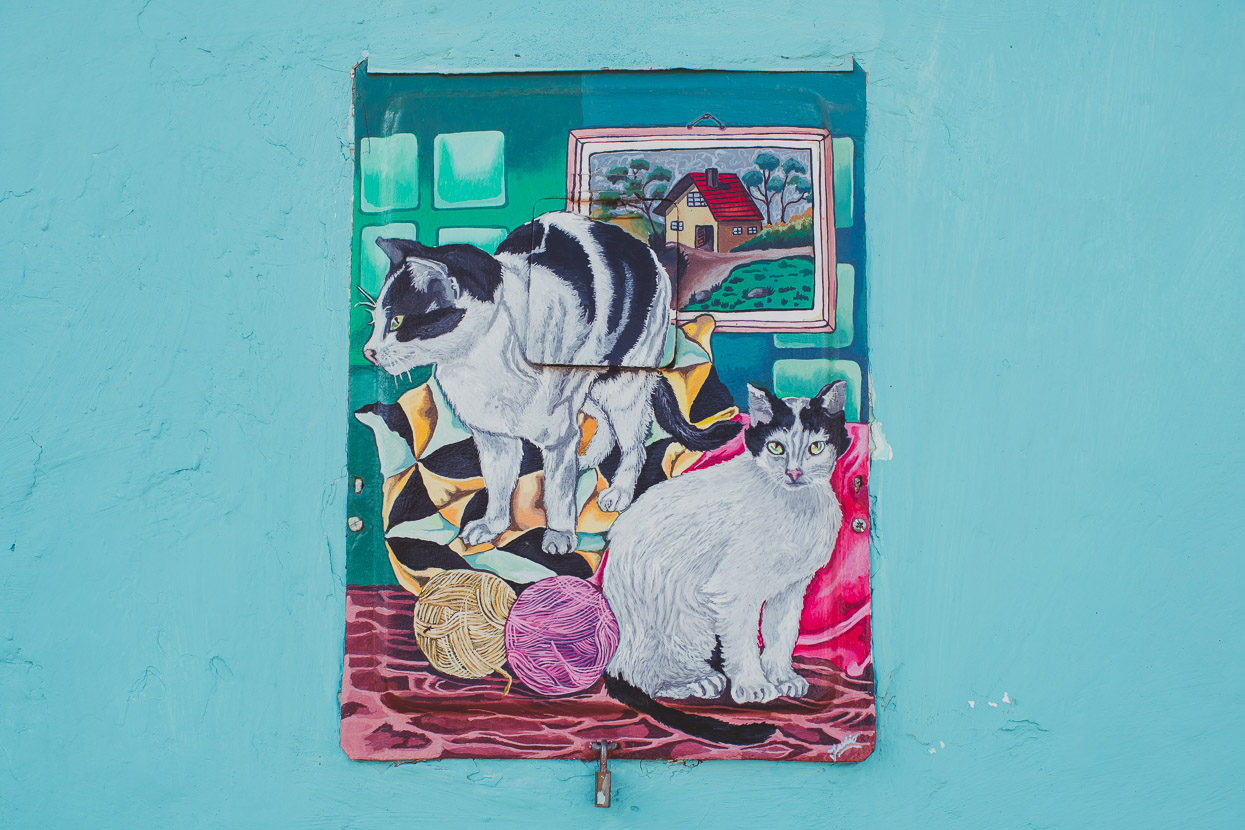
The town had many whimsical details – like the individual paintings on the meter boxes on the outside walls of homes. The one below with the cats was painted by Sonia. Armando is instrumental in managing a local ecological reserve, 15 kilometres away up in the cloud-forested ranges that look over the town.
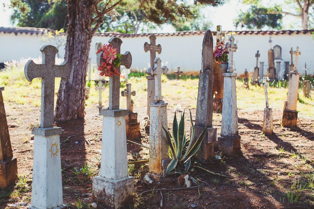
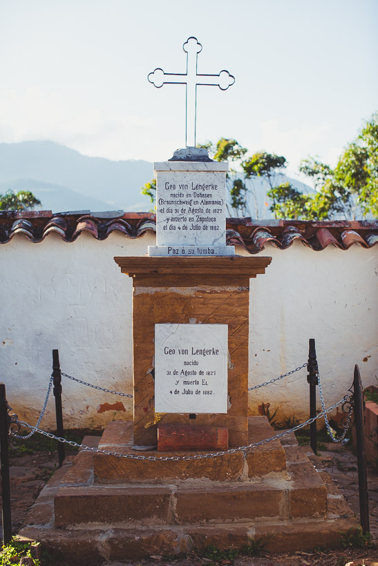
On a wander through the town’s cemeteries Armando pointed out the grave of Geo von Lengerke (below), separate to the rest of the cemetery due to his differing faith (the rest of the cemetery is Catholic). Lengerke was a German engineer, merchant and landowner who settled in the department of Santander in the mid 1800’s and became a legendary figure. He was an enterprising character, running a massive property dedicated to the production of quinoa and road and land development. He was instrumental in restoring the Camino Real – an ancient indigenous pathway – which we’d see (and ride part of) later near Barichara.
Legend has it that Lengerke’s blond hair was such a desired trait that local women would bring him their daughters to breed with, so that they’d have fair haired babies.
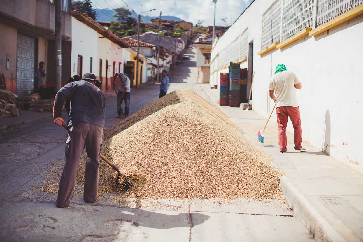
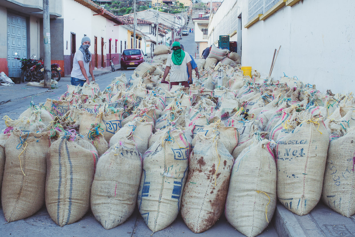
At first glance we though these men were shovelling fine gravel, until Armando pointed out that it was coffee.
We came back later and it had all been sacked-up for shipping.
More soon as we head deeper into the mountains!
Do you enjoy our blog content? Find it useful? We love it when people shout us a beer or contribute to our ongoing expenses!
Creating content for this site – as much as we love it – is time consuming and adds to travel costs. Every little bit helps, and your contributions motivate us to work on more bicycle travel-related content. Up coming: camera kit and photography work flow.
Thanks to Biomaxa, Revelate Designs, Kathmandu, Hope Technology and Pureflow for supporting Alaska to Argentina.

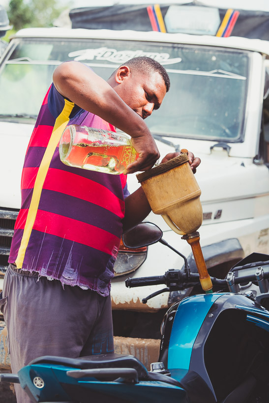


Very nice. More likely than not, that petrol was smuggled into Colombia from Venezuela, where one carton of eggs costs more than an entire lorry of petrol!
Hard going, but makes great reading. Love it all – as usual ! Photo of Hana, worth a thousand words ! Love seeing all the fruit & flowers. Admire you both. You’re AMAZING.
Just came across your blog. So far I have just been reading about your adventures in Colombia. This particular one especially hits home. My husband is from Zapatoca and we are moving from Canada to Zapatoca next week and taking our bikes. We are more trail runners and hikers but are hoping to explore more of Colombia via bike. Is there a way to download just segments of the routes you did? I love the route you picked out in Colombia it hits all the highlights and one I have dreamed up in my head and you have done it, incredible!
Thanks Stephanie – great to hear that you are enjoying the blog. I hope you have a great time in Zapatoca – it’s a beautiful town and a place we would have happily spent more time.
For more on Colombia, and to answer your question about routes, take a look at out Trans Colombia route here:
You can download the whole country, or in three sections. https://www.highlux.co.nz/trans-colombia/
I have also built a Ride With GPS Collection of our entire route, which can be downloaded in sections (Colombia is in 5 bits) here: https://ridewithgps.com/collections/1843755?privacy_code=3H3dhFAXrVkIoqQm
Cheers
Mark.