Deeper into the Hills.
Here’s a brief update to cover the rest of the ride from Zapatoca to Barichara and San Gil; the starting town for the bikepacking route we planned to follow through the mountainous Boyacá region.
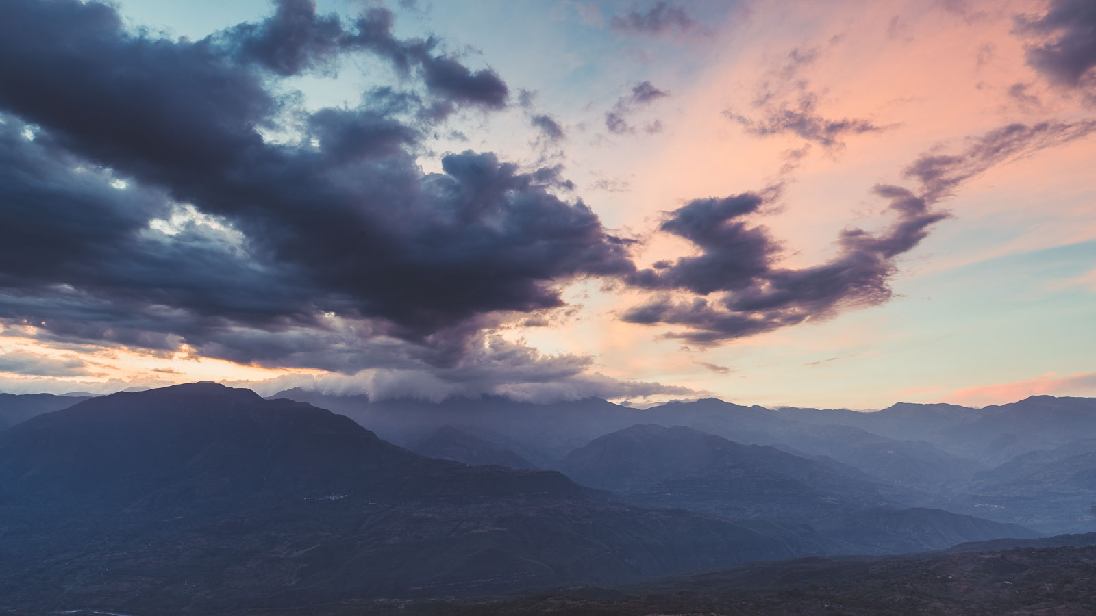
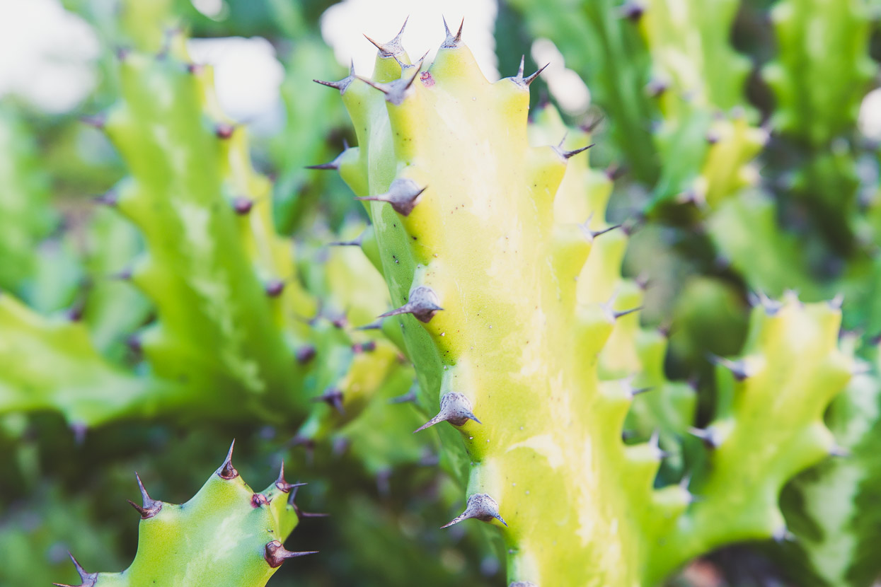
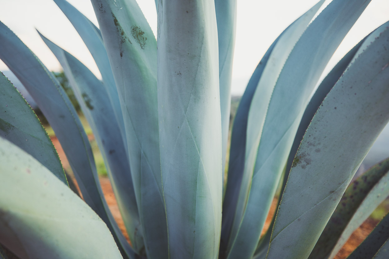
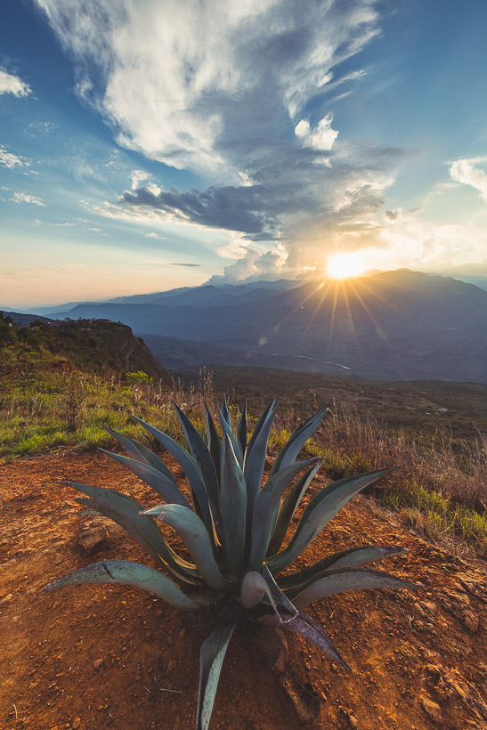
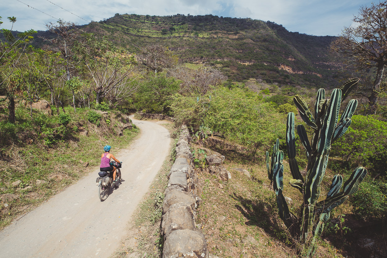
We’d read and heard much about Barichara, a small colonial town perched above canyon country in the Santander department. It’s a land of steep, parched hillsides, cactus, stonewalls and sheep. Few roads cross the land, but those that do are windy, switchbacked affairs and seldom paved. The valley bottoms, below 1000m, are baking hot, while the ridge tops catch enough breeze to be cool at night – and for a change we need more than just a t-shirt on when we walk after sunset.
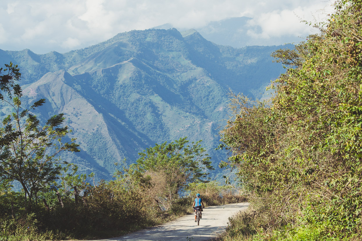
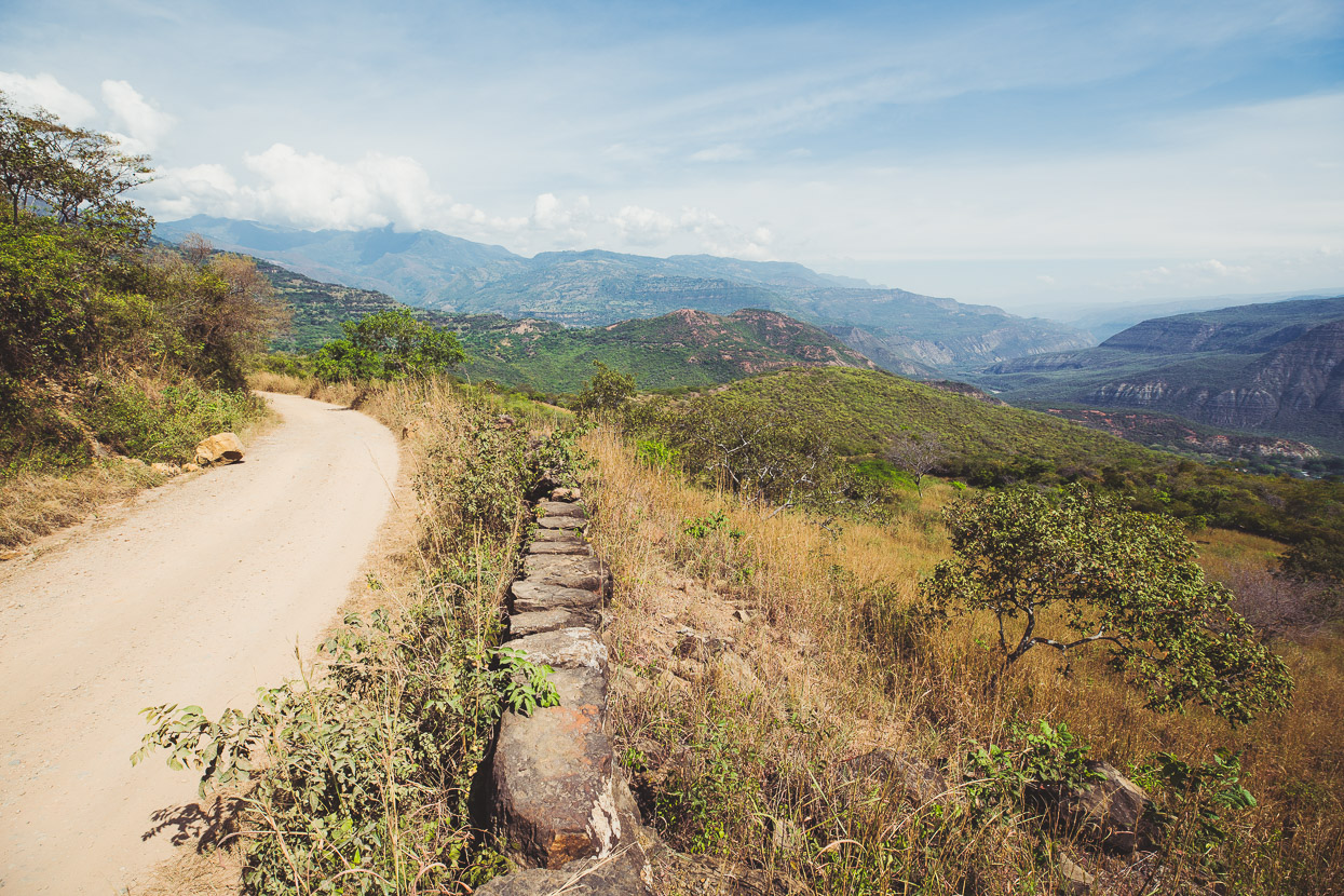
The route from Zapatoca to Barichara is dirt almost the entire way; perfect touring, few vehicles and great scenery as the road flows high along the edge of the valley.
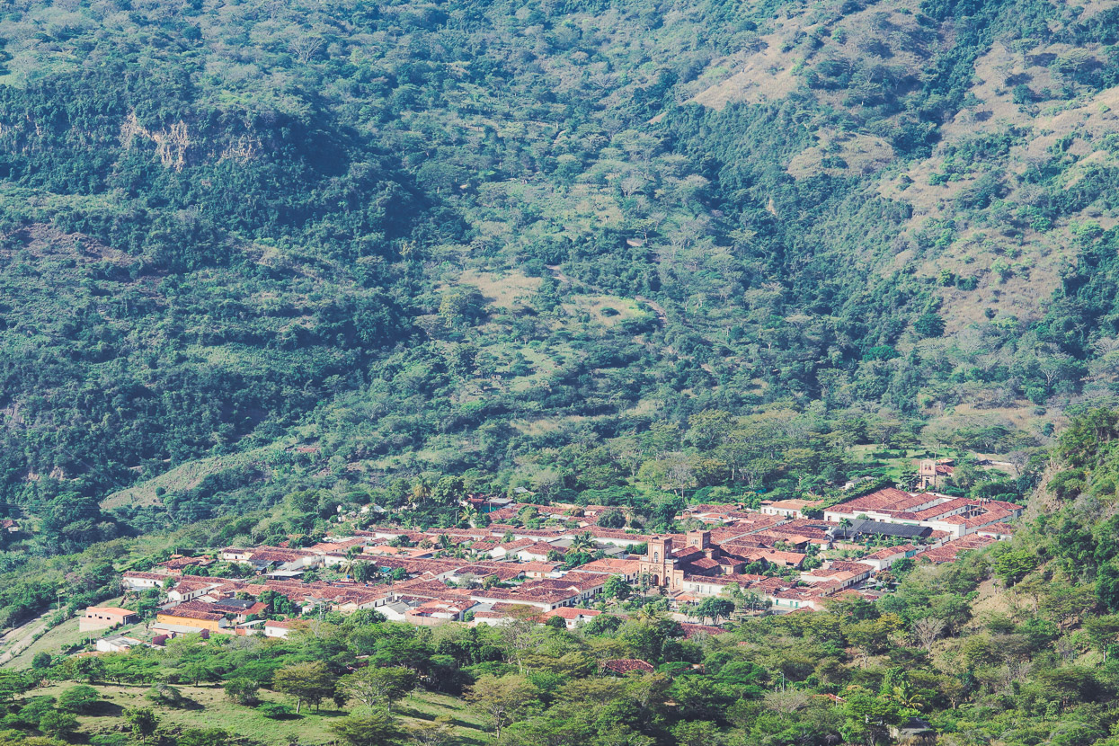
Looking down on picture-perfect La Fuente, one of three small towns we passed through en-route to Barichara. These towns are beautifully preserved and full of colonial character. Dogs snooze in doorways (and sometimes the middle of the road), bougainvillea tumbles over the tops of stone walls and old Renaults bump over the cobblestones. Aside from local tourist traffic and the odd minibus, it’s rare to see any vehicles later model than the 1980s in the villages and on the roads. Large Ford trucks are common, with their loads of milk or produce; doggedly maintained workhorses plying the mountain roads.
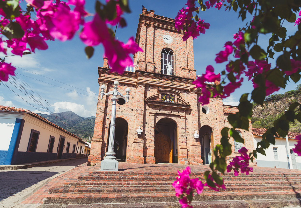
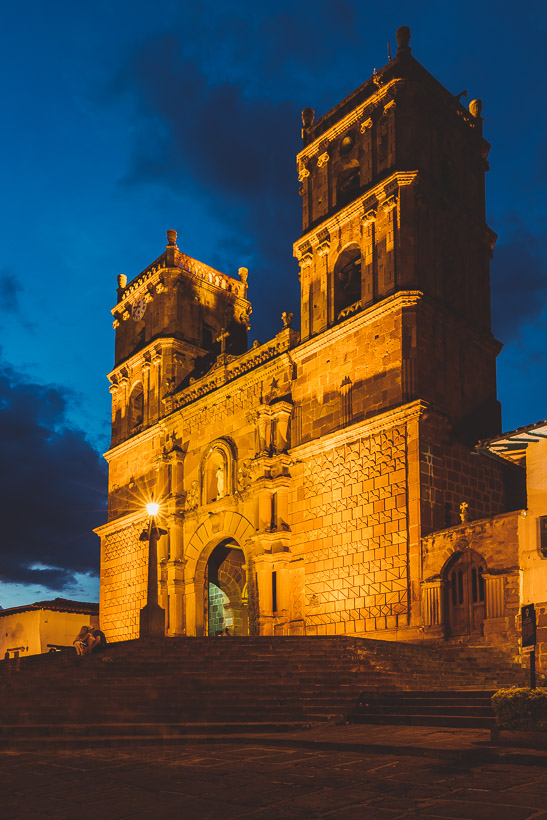
As always, the church is the biggest and best-kept building in town, as well as the focal point.
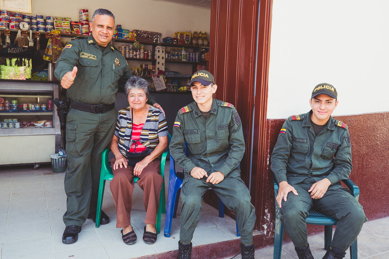
The ELN don’t seem to be a problem here – and there’s not enough people around to be causing any problems, so the police were sitting outside the tienda enjoying a bit of sun.
Onwards we go – still the crunch of gravel under our tyres – through Galan; where we stop for a tinto (black, sugary coffee) and a empanada before a fast and windy descent to the river.
The climb up the other side has us covered in sweat, and dust from the odd vehicle and in the midday sun we guzzle water, stopping once to fill the bottles from the only stream we see.
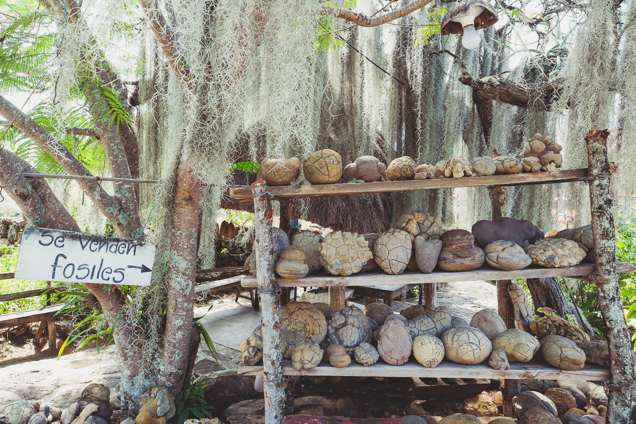
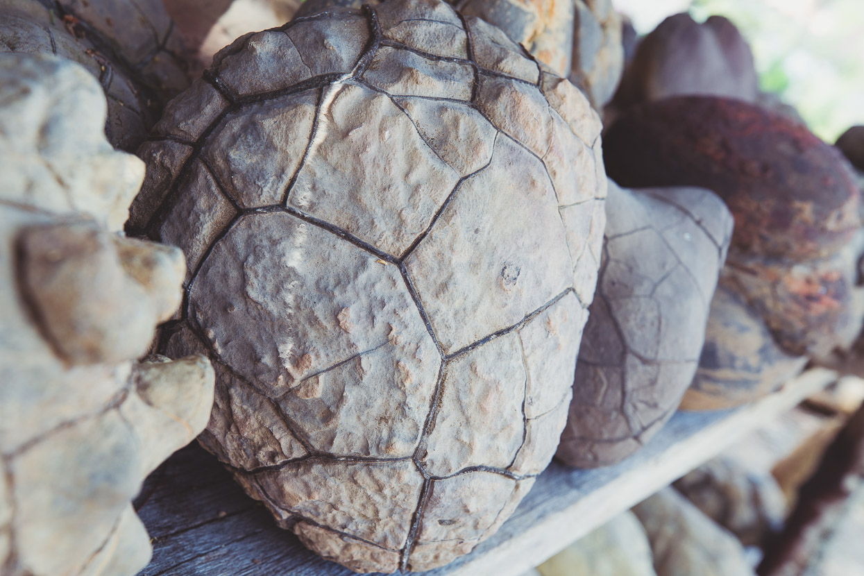
At the Guane–Barichara junction we turn left on pavement, keen to make the short detour to see Guane and its small museum. This region’s rich in fossils – especially brachiopods, but the quirky museum has some dinosaur fossils too, and some people have stalls outside their houses selling their finds.
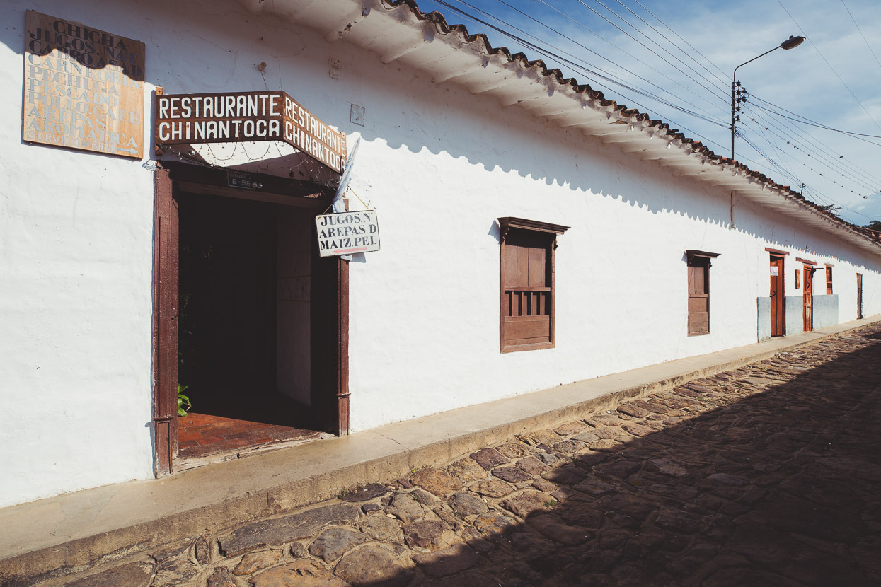
A warm wind blew through Guane and like the other towns, its streets were quiet, just a few locals sitting in the shade and couple of tourists. We found a restaurant for an afternoon snack. It didn’t look much from the outside.
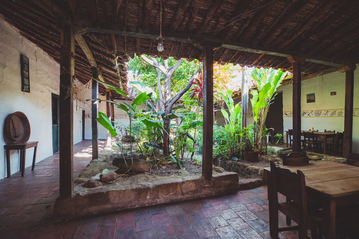
But inside’s a quiet, shady oasis, with all the character of a centuries old home.
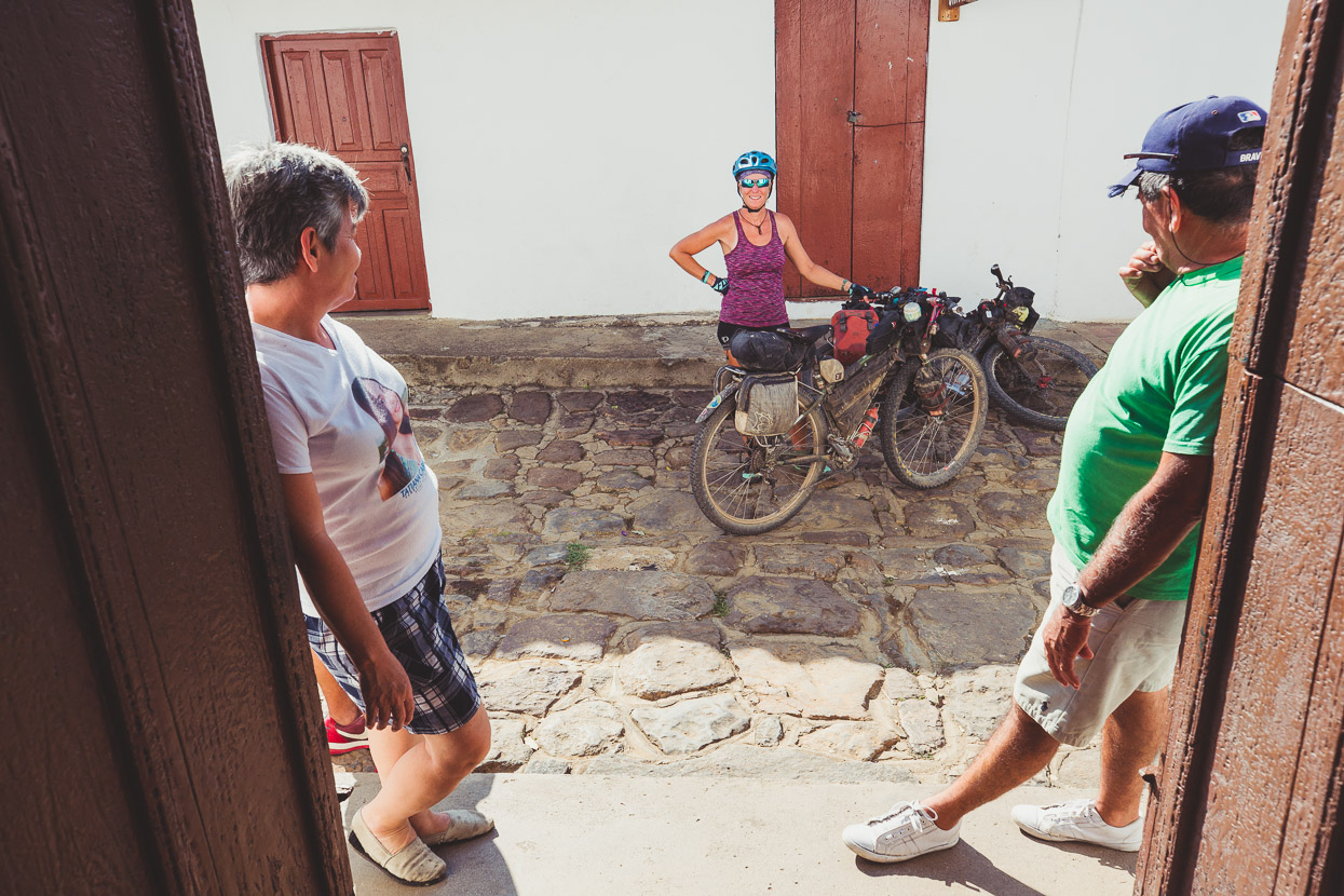
We can’t leave of course without the usual interest and volley of questions.
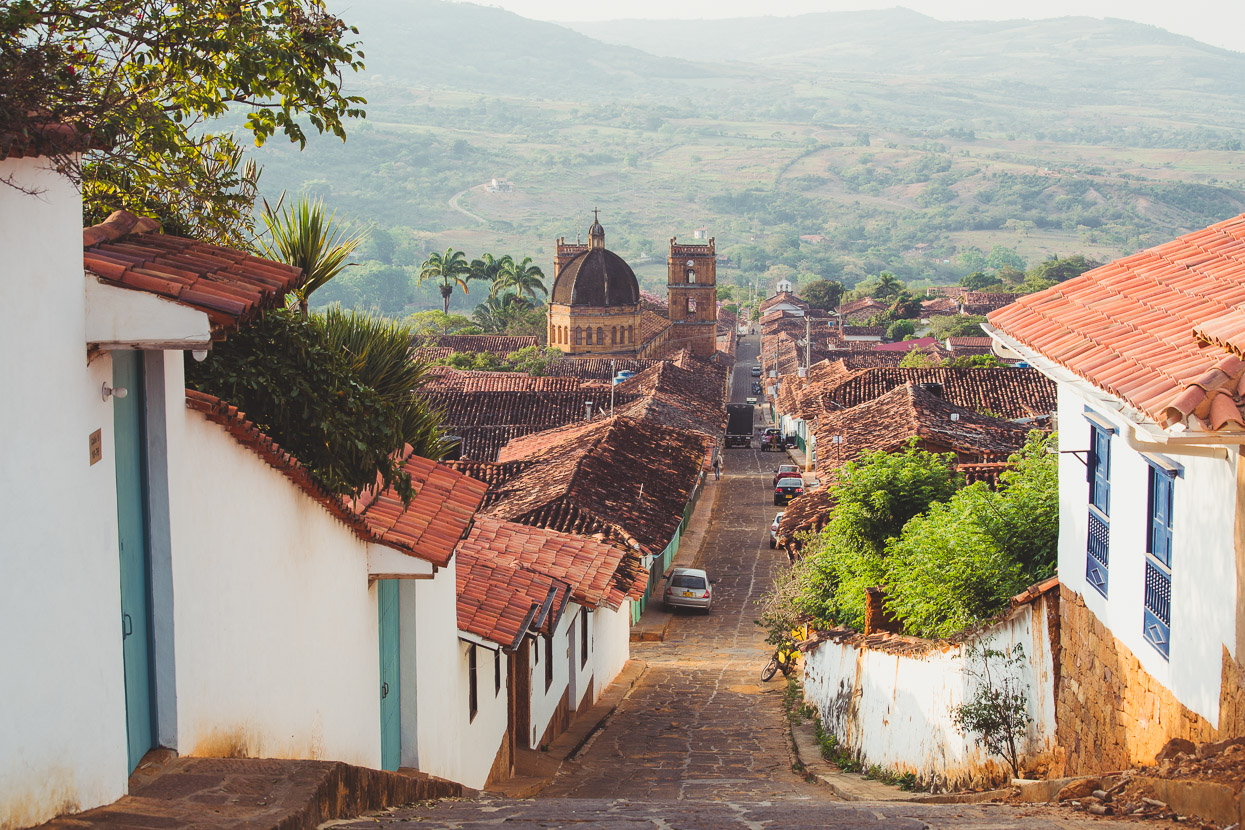
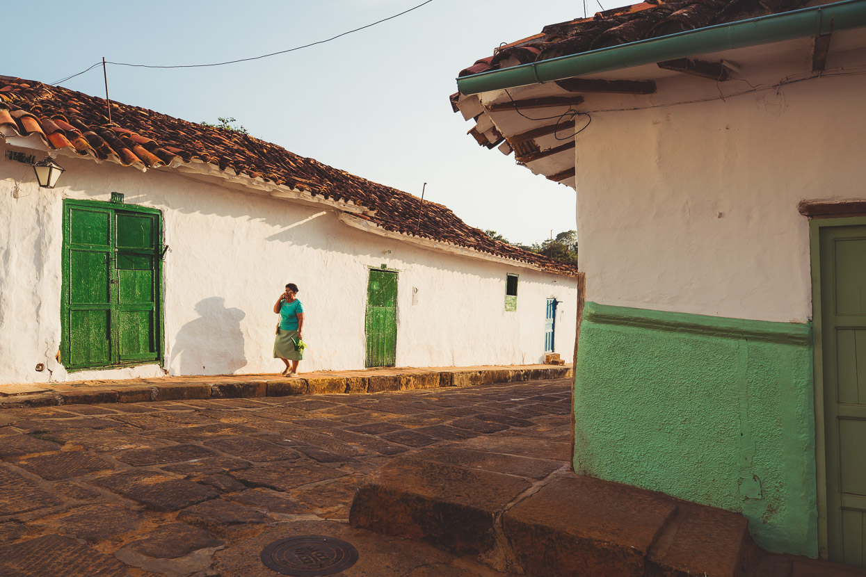
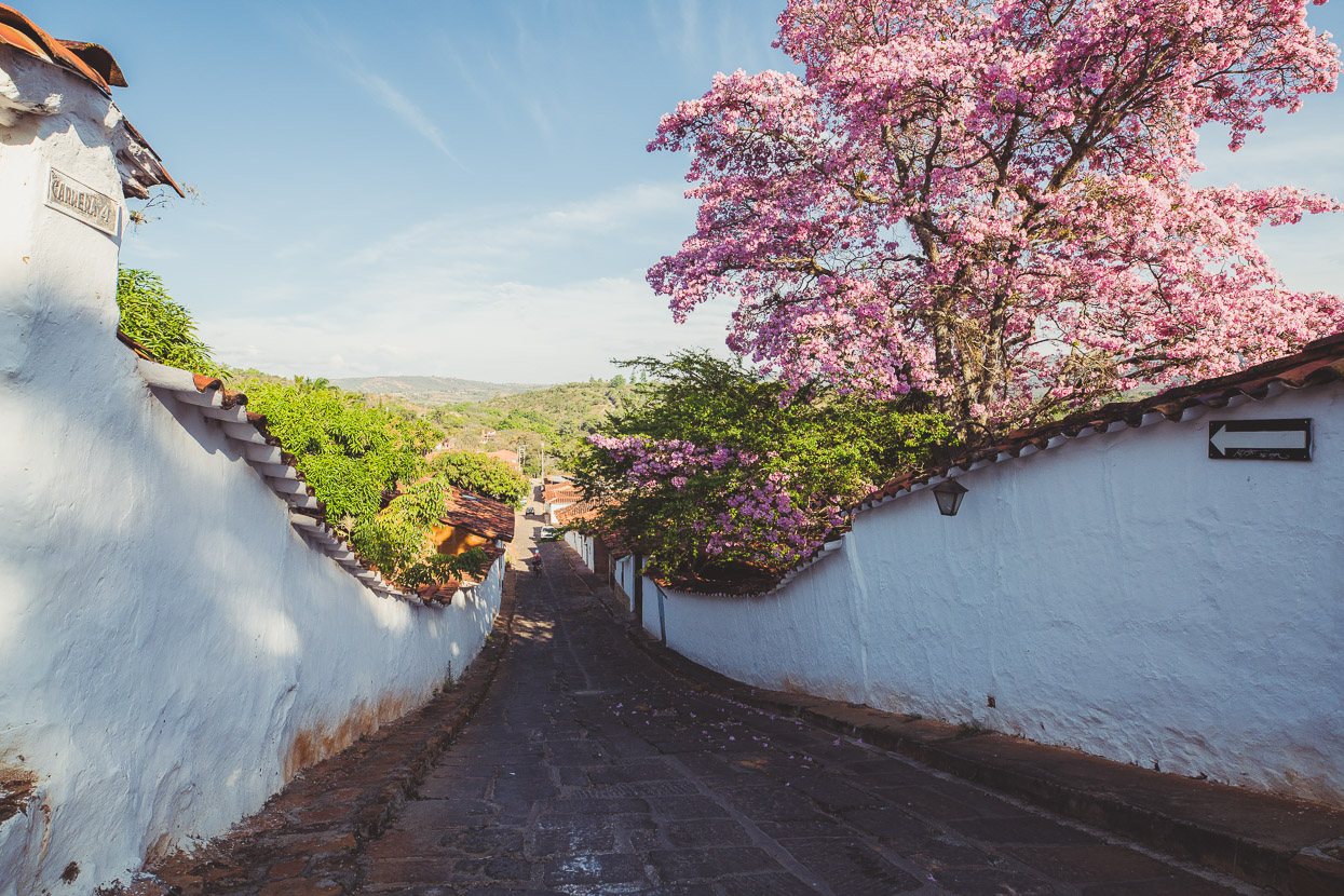
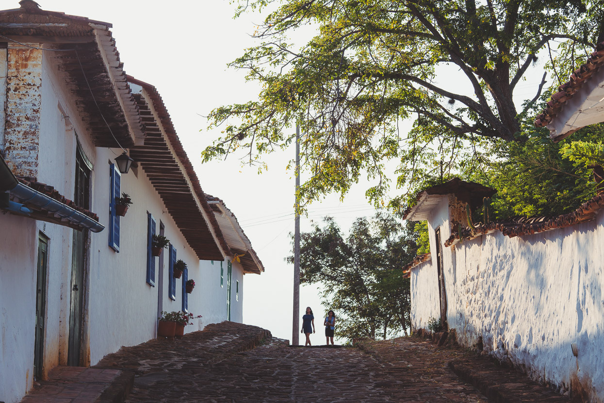
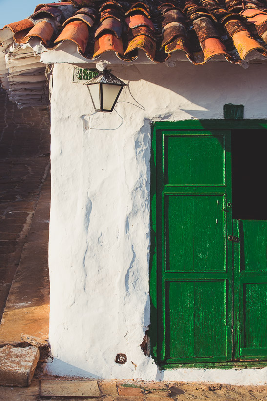
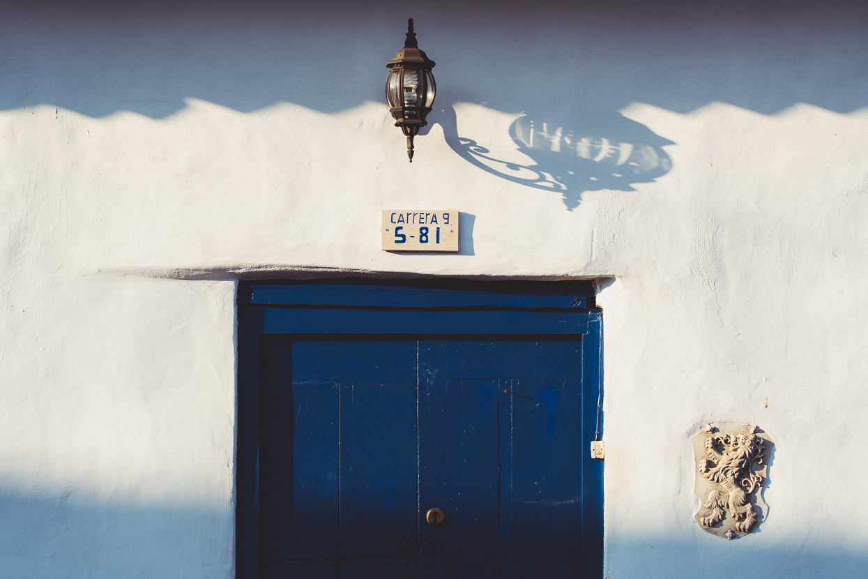
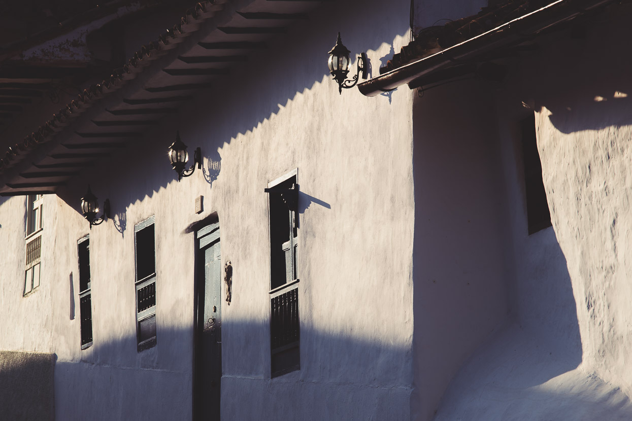
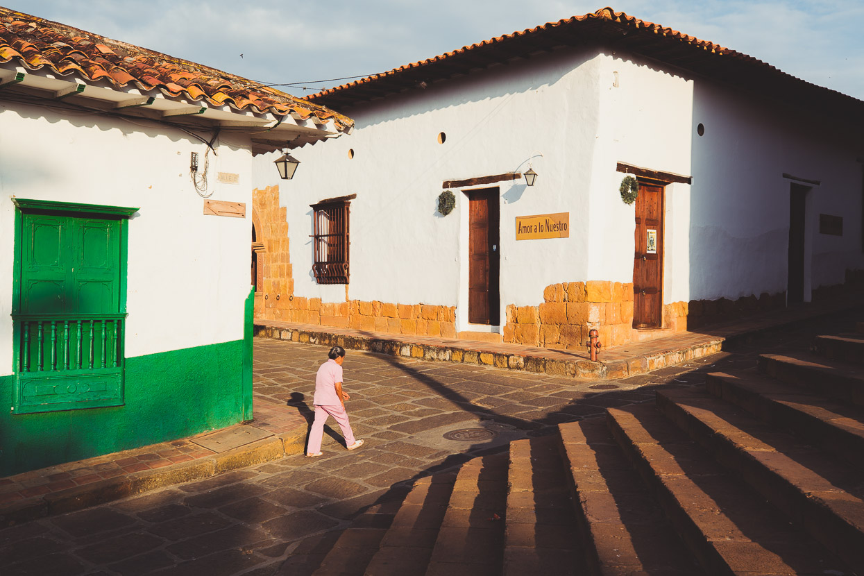
Back on the road, we cycled the final paved climb up through cliff bands to emerge in Barichara. This peaceful town, with its 300 year old buildings is instantly relaxing. We’d been warned it was ‘touristy’ but compared with other places we’ve seen through the Americas it does touristy well, and there wasn’t a tacky souvenir or a pushy salesman in sight.
Instead, it’s the kind of place you can wander the streets, taking in the ambiance and absorbing the details of a beautiful colonial town. The locals say hello when you pass them in the street, as is generally customary in Colombia. People are polite here consistently – and chatty – and many conversations evolve beyond a simple buena dias.
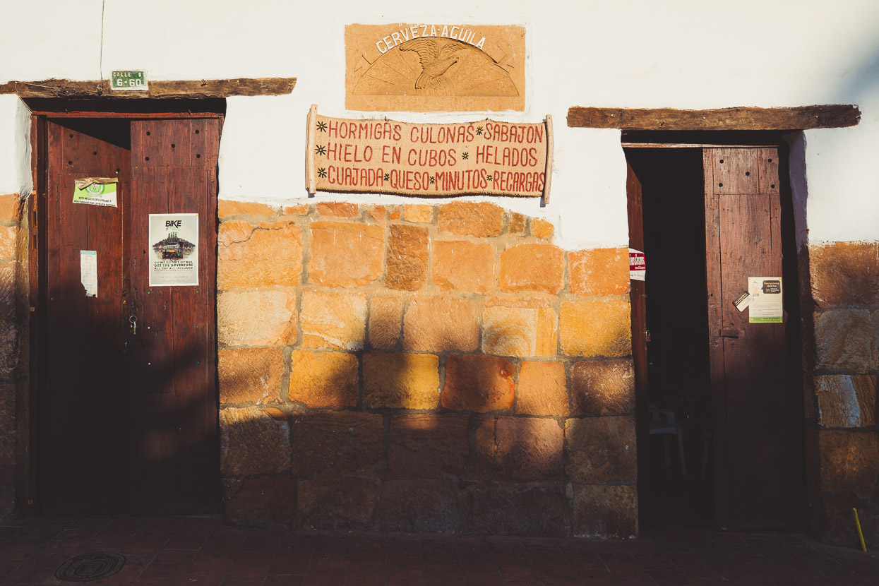
Note the Hormigas on the sign. Ants, big ones, are a delicacy here, although we never got round to trying them. Hopefully we’ll see them again.
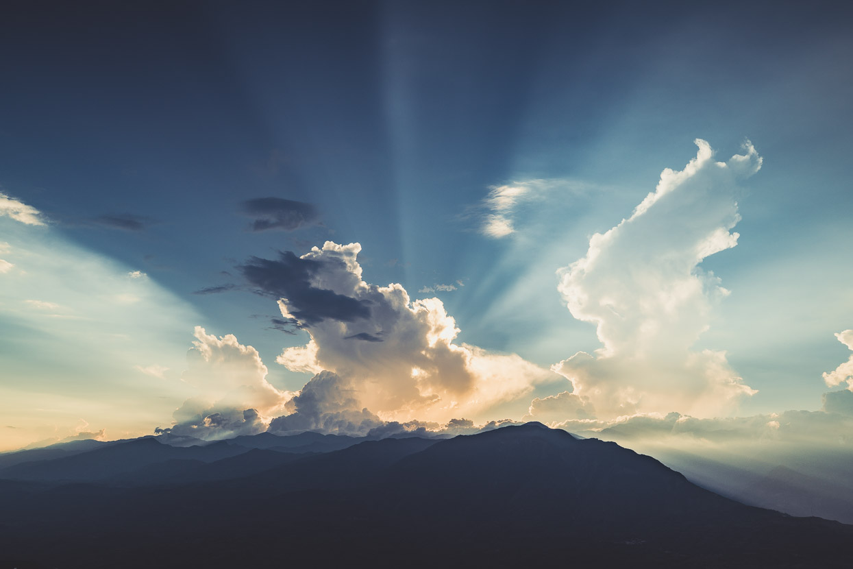
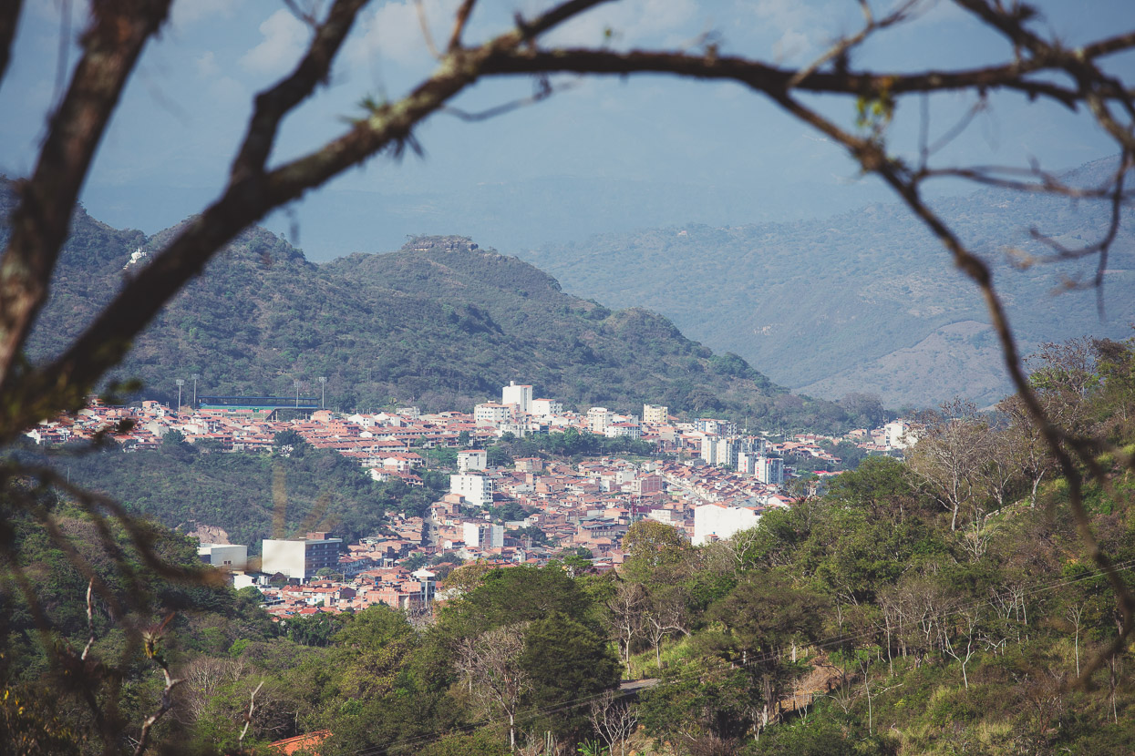
From the cliff edge, just a few minutes walk from town, you can survey the deep valley of the Río Suárez and the layered ranges beyond.
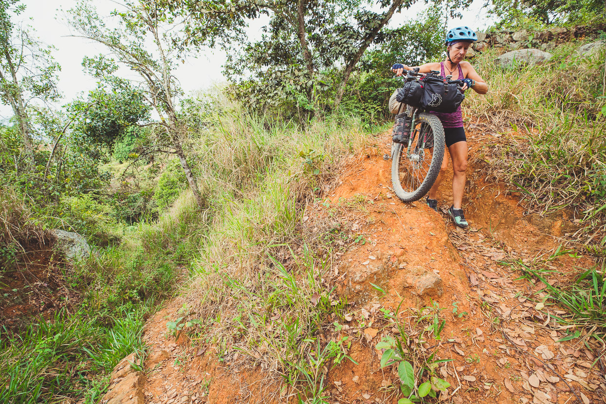
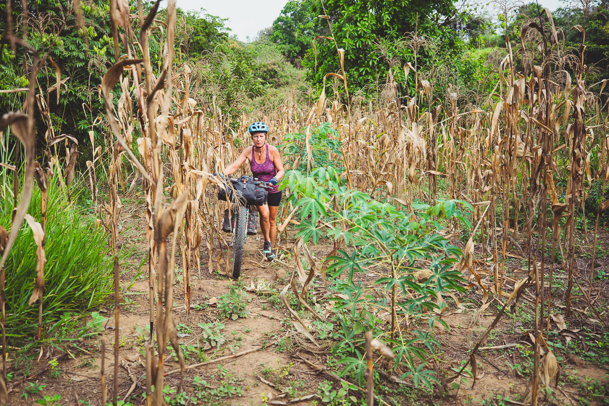
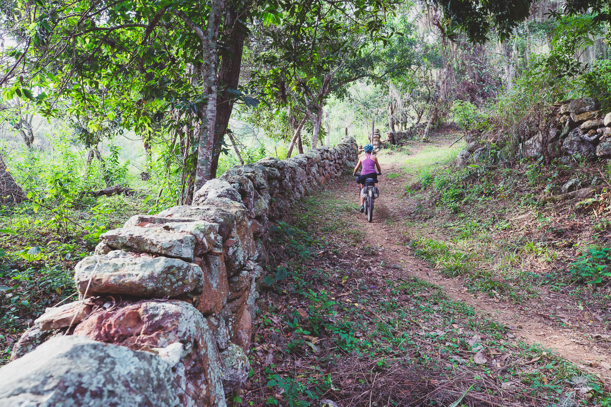
From Barichara on to San Gil we had the choice of the main highway (busy with local and tourist traffic), or consulting Ride With GPS, a mixture of dirt farm roads, some Camino Real and then quiet dirt and pavement into town. Of course we chose the latter. Good farm roads led us out of Barichara and then after a short grovel through some rough foot path, a maize field and a fence, we got onto the Camino Real.
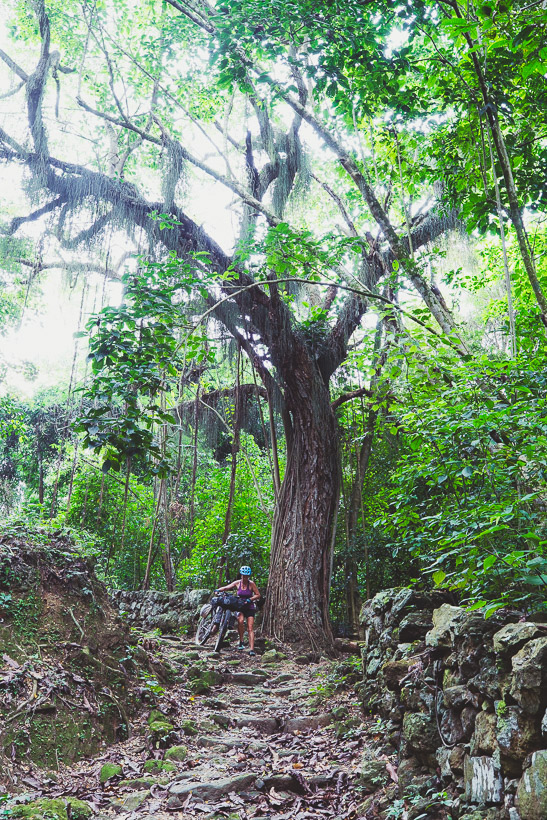
The Camino Real originates from a series of indigenous trails, later used by the Spanish, that connect to make a now classic local hike, popular with tourists (particularly the section from Barichara to Guane). German immigrant Geo Von Lengerke (mentioned in my last post) rebuilt and paved the network of inter-village trails in the late 1800s, opening trade and the flow of goods through the region.
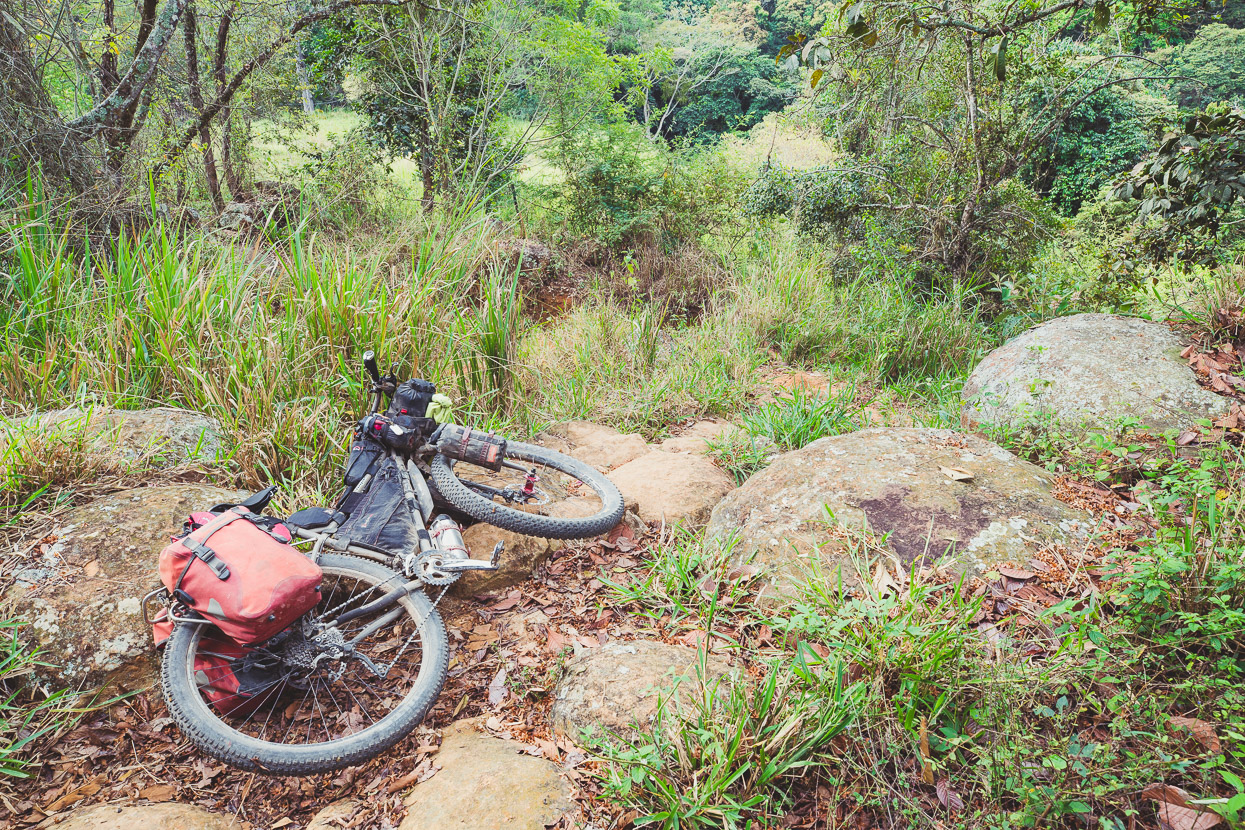
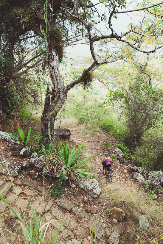
Some of it made for a bumpy ride (or walk) with the bikes, but it was nice to check out a bit more local history. This particular section of the trail descends through a steep gully – the only breach in an otherwise unbroken stretch of sandstone cliff that runs for several kilometres.
And onto some nice quiet dirt road for the final stretch into San Gil.
San Gil has a nice plaza and church in the city centre but wasn’t particularly appealing otherwise. It was the biggest service town we’d pass through for the next 10 days or so, so we took the opportunity to shop for some warmer clothes in the market and budget stores to keep us going in the high country of Boyacá (we’ll be heading up to 4000m+), while we wait for a parcel from Kathmandu in NZ.
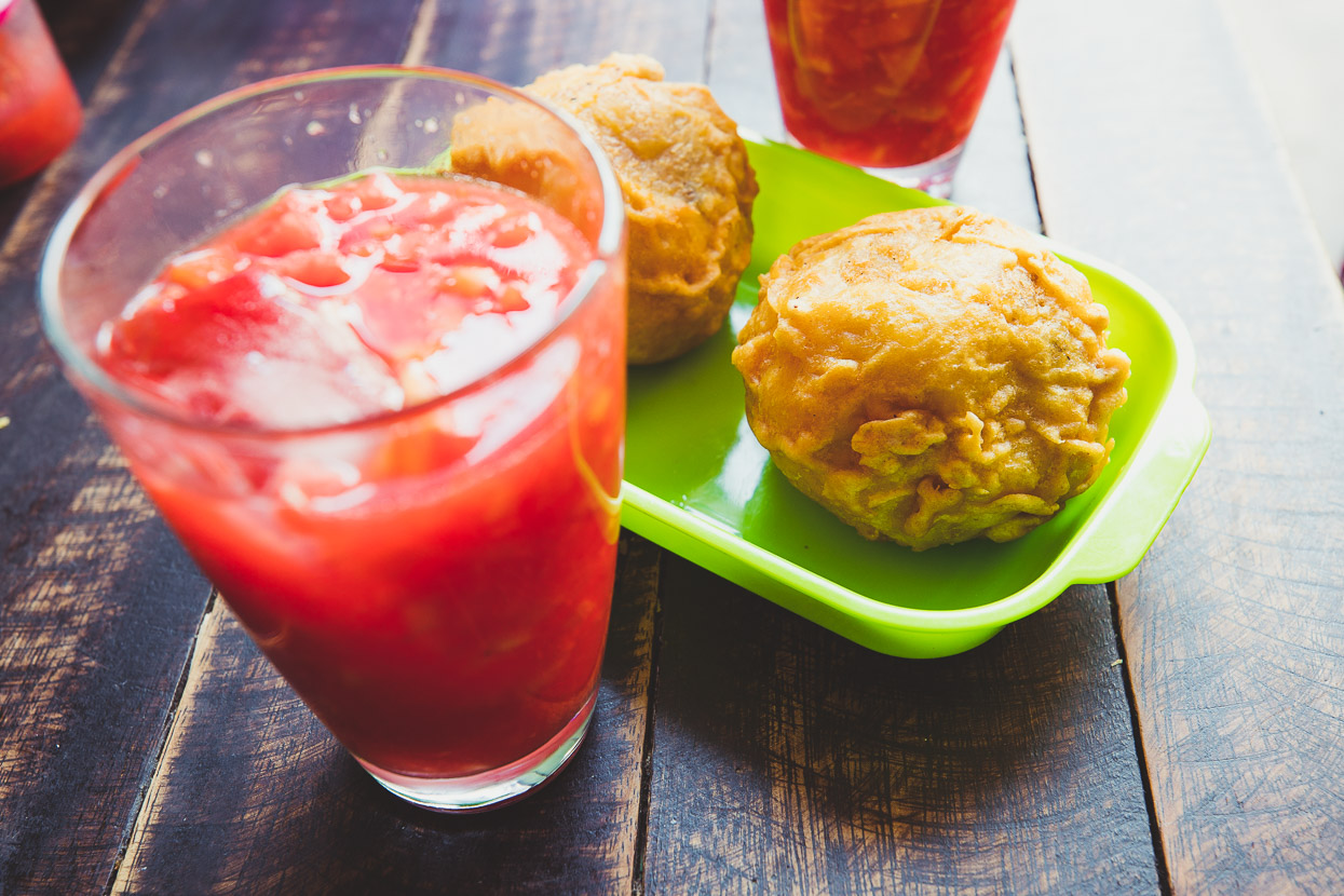
Two of our best food discoveries in Colombia: salpicon – a delicious drinkable fruit salad, made with tropical fruit and papas rellenos – deep fried potato balls filled with mince, vegetables and spices.
Coming next – the high mountains of Colombia…
Do you enjoy our blog content? Find it useful? We love it when people shout us a beer or contribute to our ongoing expenses!
Creating content for this site – as much as we love it – is time consuming and adds to travel costs. Every little bit helps, and your contributions motivate us to work on more bicycle travel-related content. Up coming: camera kit and photography work flow.
Thanks to Biomaxa, Revelate Designs, Kathmandu, Hope Technology and Pureflow for supporting Alaska to Argentina.



While I have returned to a normal life (I moved back to Singapore), your great pictures and stories allow me to keep the Panamericana vital in my head. Amazing pictures again! Some remind me of Mexico. In a few years I gotta ride across Colombia and Ecuador as well. Keep exploring and let us continue participate 🙂
Cheers
Alex
Thanks Alex – nice to hear from you! We’ll try to keep it interesting 😉
What an adventure! Do you have a GPS file for this route please? And do you think it would be safe for a solo female bike packer?
Hi Harriet, yes, here’s our whole Colombia route: https://www.highlux.co.nz/trans-colombia/
And if you look on Bikepacking.com, there’s the Oh Boyaca, which is more or less included in our route too. I can’t comment on safety I’m afraid as our experiences were as travelling as a couple.