The Lacandon Jungle and the Frontera Region.
This post comes from the shores of Lago Peten Itza where we are currently staying in the tiny village of Flores. After five amazing months mostly in the Sierras of Mexico, we’re now sweating like crazy and adapting to a slighty slower pace of life in Guatemala’s steamy lowland frontier state, Petén.
From the much cooler high country enclave of San Cristobal de las Casas we picked a route towards the border that would give us a satisfying finale before heading into Central America. As we near Guatemala, Mexico’s southern Sierra Madre finally slopes away for good and merges into the flatlands of southern Chiapas and Peten. It’s a convoluted landscape of thickly forested limestone bedrock, defined by deep valleys, karst outcrops, cliffs and tea coloured rivers. Despite the downhill trend it’s the kind of country that often sees you climb up to 2000 metres in a day despite your destination being lower than your origin.
This remote region of Mexico is home to the greatest diversity of indigenous people we have encountered too. Climbing into the hills as we left San Cristobal we passed through a Chamulan village, distinctive for the rough, black sheep’s wool skirts and fitted blouses worn by the women. Shortly after we enter another village and the outfits change, then at the next and the next. It’s wonderful to see people maintaining their traditions and holding onto their identities. A scene that’s etched into my memory and that was repeated often in the early mornings was to see a whole family in traditional dress walking down the road with tools in hand to spend a day working in rocky hillside fields.
The sides of the road are often cultivated and we see chilli, cabbages, potato, peaches, coffee, corn, beans, papaya and bananas. Some of the same food these people have grown since prehispanic times and still grow in a non-industrial manner. The people too seem unchanged perhaps: their dark skin and distinctive faces suggesting little interbreeding.
Very hazy conditions the first two days out of San Cristobal robbed me of motivation to shoot and sadly the people here do not welcome photographers so I have few photos until after Ocosingo.
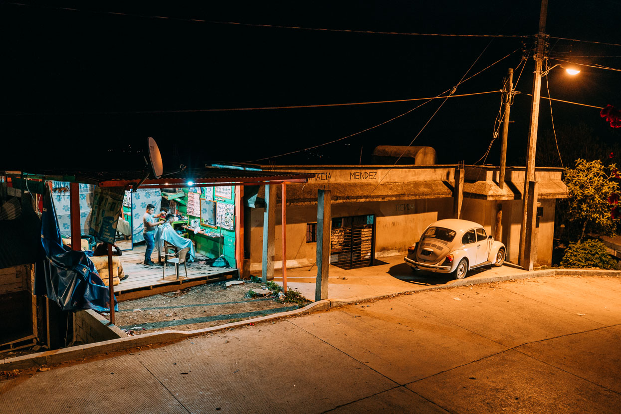
Our first night out of San Cristobal was spent in San Juan Cancuc, a small village scattered over a scrubby hillside high on the ranges. We’d had high hopes after a great day of constant villages and friendly waves from the indigenos we’d passed. The stares in Cancuc were piercing though and as we rode through the village we could feel a tangible edge to the atmosphere there.
We found a 150 peso room (NZ$11) in the only posada. Outside the room a drunk lay in the gutter at the bottom of a steep street for hours, his face and t-shirt crusted with blood. Other men walked up and down the road talking to themselves, shaking their arms spastically and stumbling around. Further up the steep street a cluster of drunkards passed a bottle between themselves. Pox – pronounced posh – is the cheap go-to liquor in these parts and it seemed to have taken a big toll on this town. One lane of the main street was blocked by a huge pile of rotting garbage; scattered further by the dogs picking through it. A row of flimsy shacks lined the edge of the street selling fried banana and tacos and there were at least six peluquerias (hairdressers) set up along the road.
We avoided eye contact with the drunks on the streets when we went in search of dinner and managed to find a small comedor where the joven (waiter) was a remarkably polite boy who could not have been more than ten-years old.
Some drunks briefly hassled us as we tried to slip back to the room by cover of darkness but we brushed them off with a ‘no entiendo’ and walked quicky away.
Across the deep valley the lights of hundreds of small indigenous settlements speckled the hillside like stars while opposite our room a man pulled aside a tarpaulin and switched on a light to open yet another peluqueria for the evening.
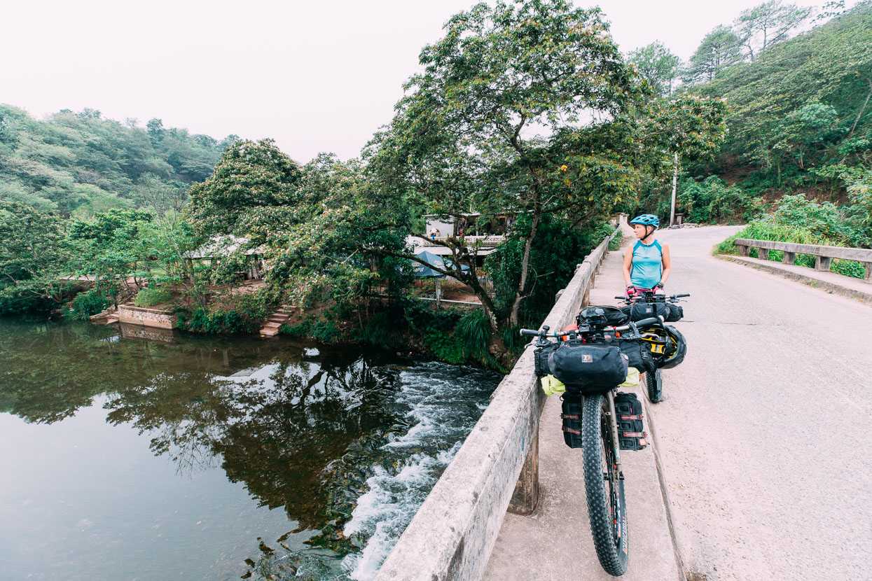
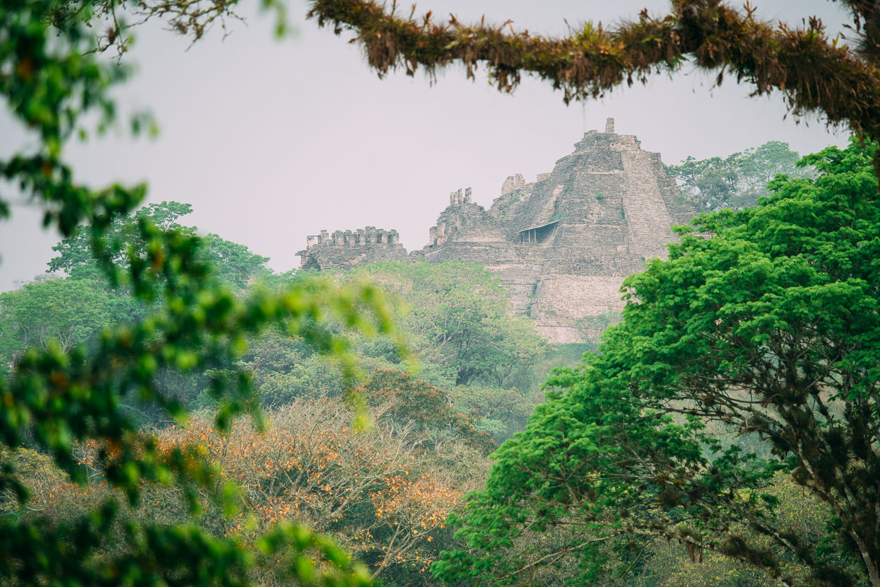
The great Mayan temple of Toniná was our next stop. We passed through the once Zapatista stronghold of Ocosingo and rode to a small ecotourist site with camping, cabañas and a small restaurant near the temple entrance.
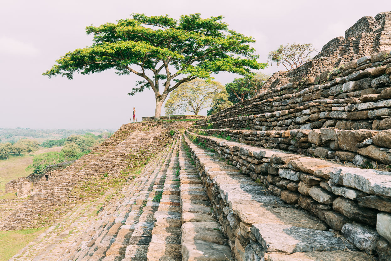
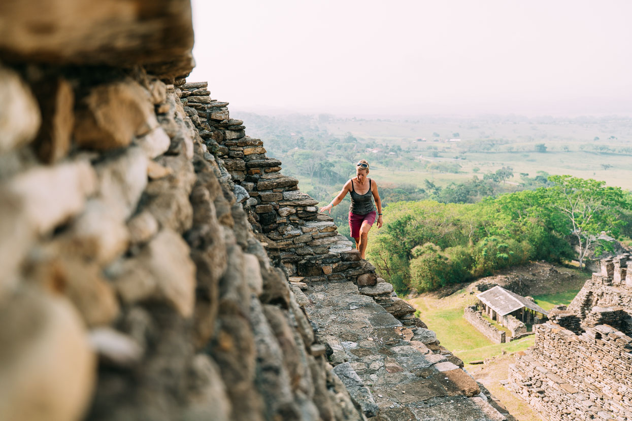
Toniná is known as an aggressive city that utilised warfare to grow its power and sporadically fought with the more famous Palenque, from which it is separated by mountainous country. The main temple is one of the largest Mayan pyramids at 74 metres high. The city was abandoned about 900 AD, concurrent with the collapse and diaspora of the Mayan civilisation, although its isolation meant it held out longer than most other sites. Toniná’s setting among rolling pasture is quite different to the classic jungle cities and consequently it lacks some of the mystery of the former, but you can climb right to the top of the main pyramid and the views are great.
Toniná’s stelae, carvings and stucco sculptures clearly illustrate the reality of a war-waging Maya city: evident are the tied and tortured prisoners, decapitations and sacrifices.
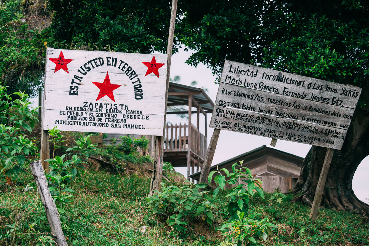
From Toniná we headed further east towards the Lacandon jungle on pavement at first and then rough dirt roads. This region was the centre of the Zapatista Uprising of 1994 and Ocosingo in particular saw fierce fighting when the Mexican Army moved in to quash the rebellion, leaving over 50 dead in that city. The Zapatista Army of National Liberation (EZLN) is a revolutionary leftist political and militant movement and to this day is in a declared war with the Mexican State, opposing military and corporate incursions into Chiapas. These days though their stance is of civil resistance and their greatest objective is of indigenous control over their local resources and land.
The sign roughly translates: ‘You are in Zapatista territory. A state of rebellion where the people rule and the government obeys’.
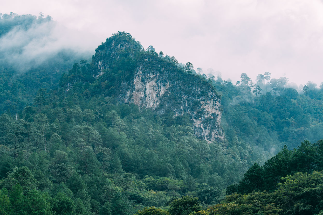
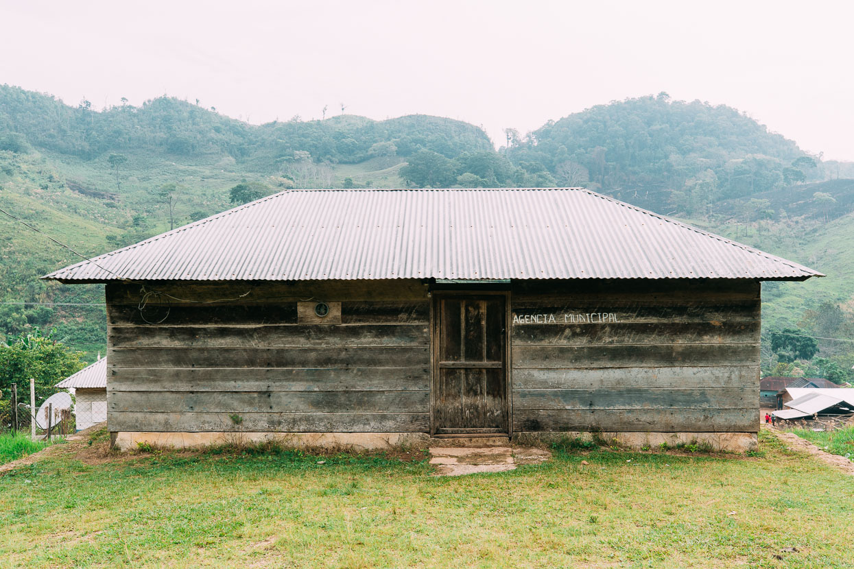
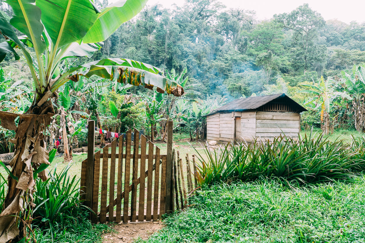
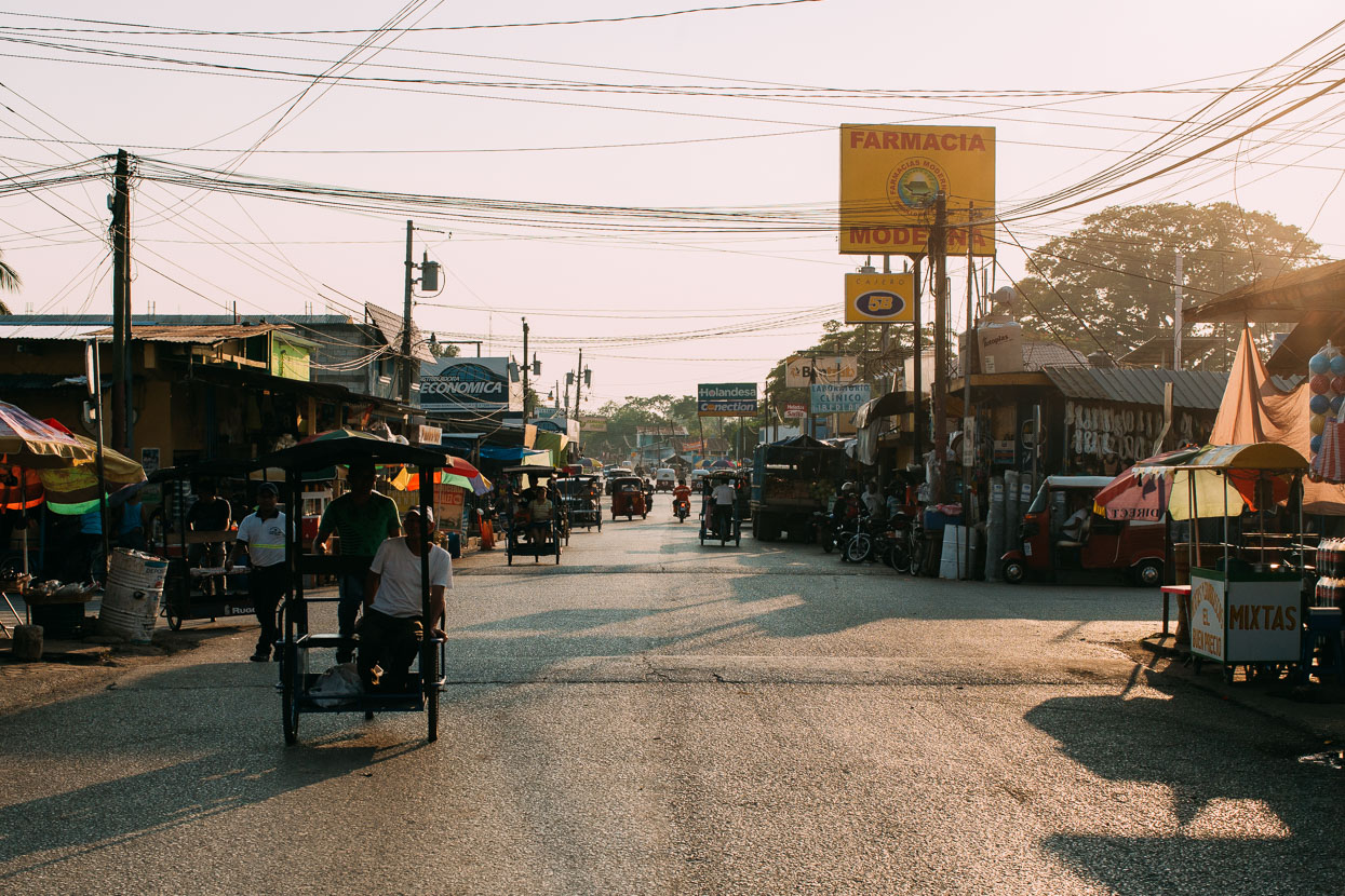
Evidently it’s the poorest part of Mexico we’ve ridden yet. Simple structures and thatch roofs typify most dwellings. A powerline lies tantalising close to some villages, but many remain unconnected. We ride the quiet highway in light rain, while wood smoke drifts lazily from wooden huts and mingles with strands of low mist. Two women and some young children sit under a tiny roadside shelter. Protection from both the rain and the heat of the day. One of the women weaves on a traditional loom. We stop at another small stall and buy four large bananas – their only wares – for a peso each. When the rain increases the women cover their heads with hand woven fabric and seek shelter under the same tree we do.
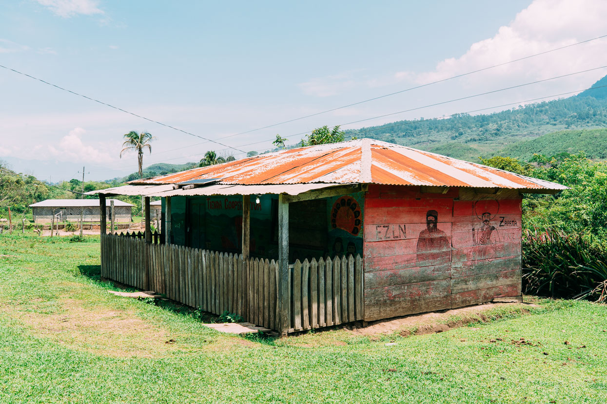
A declaration of EZLN support.
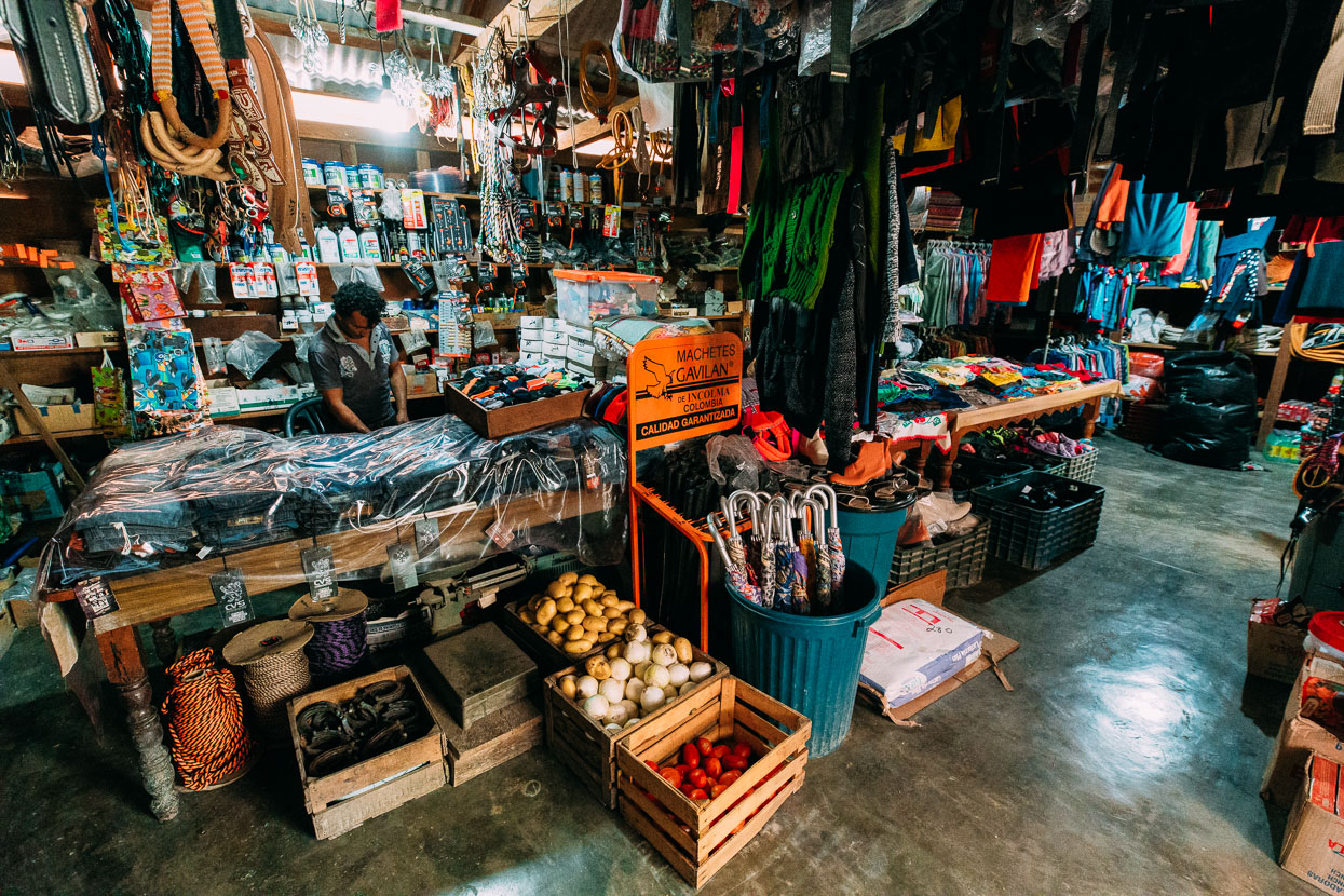
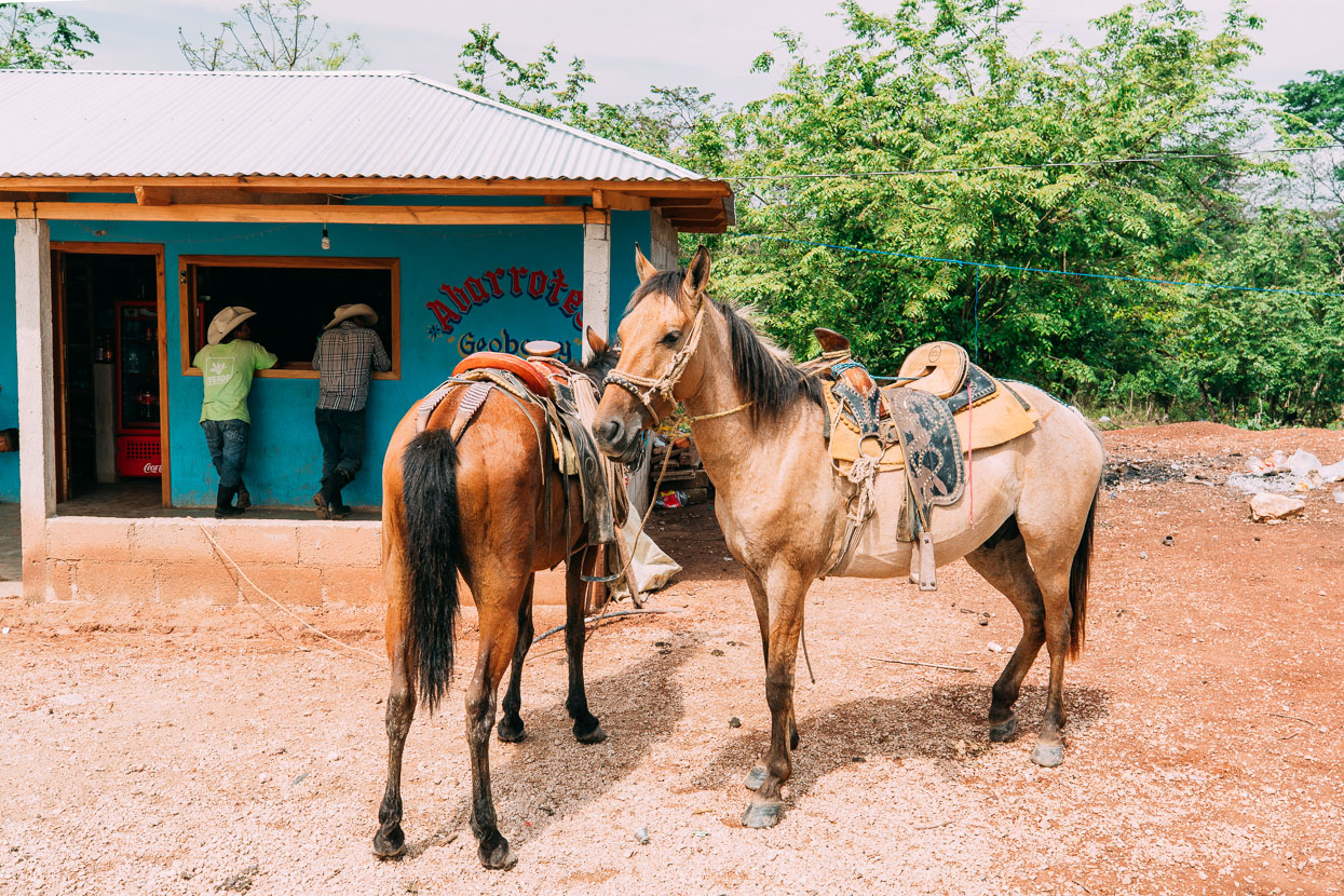
Village general store.
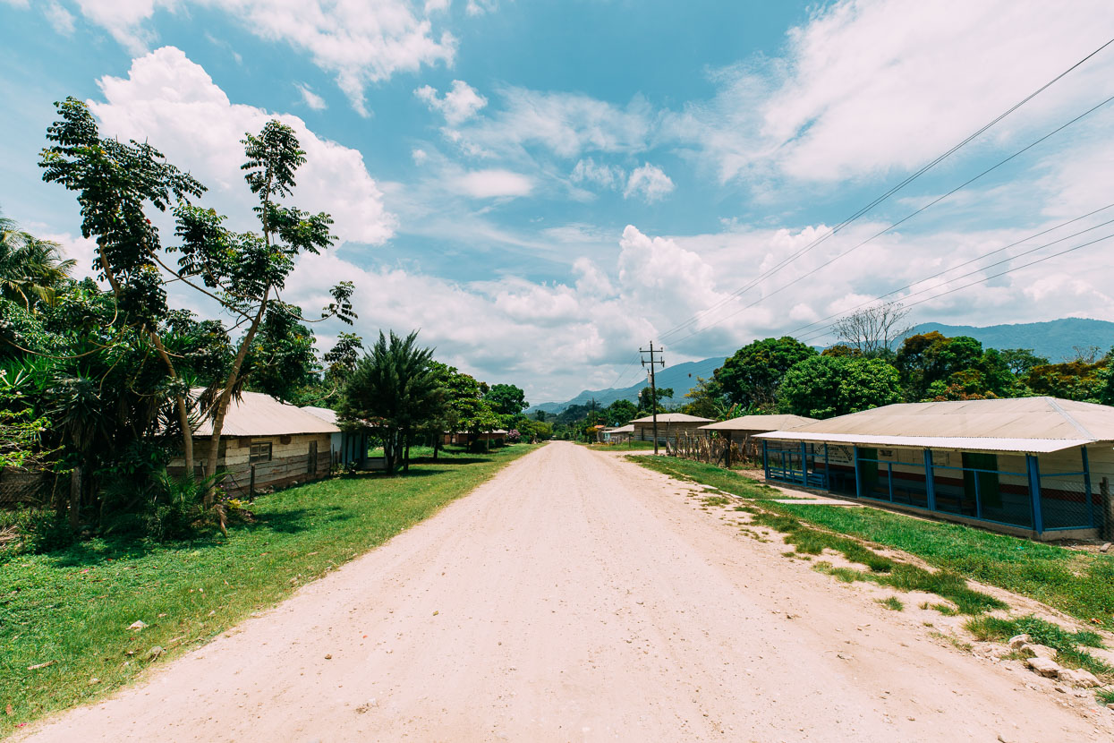
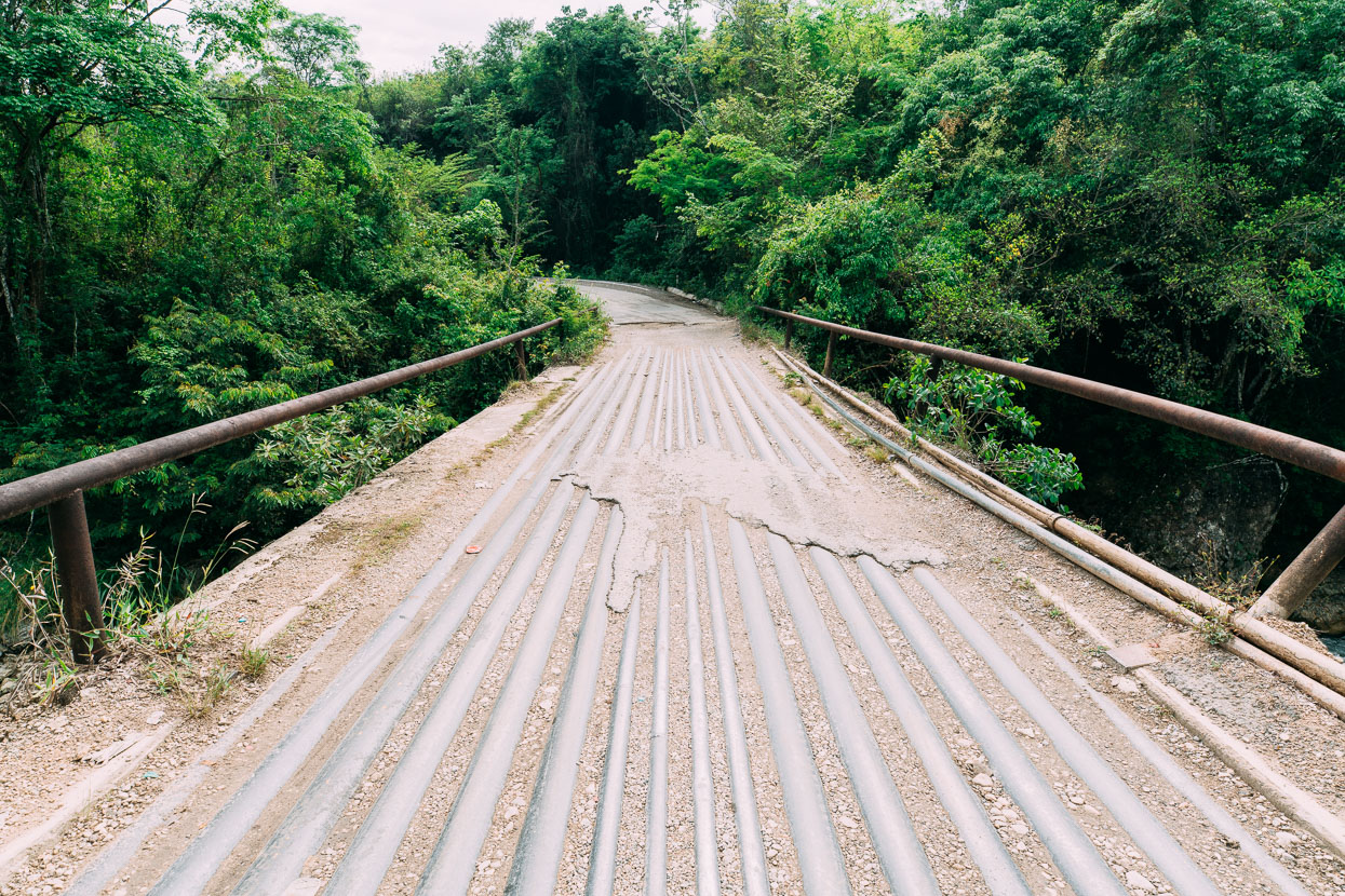
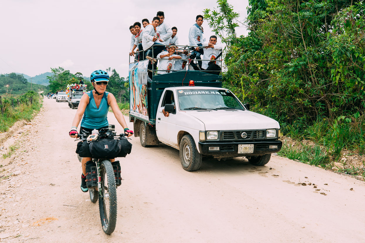
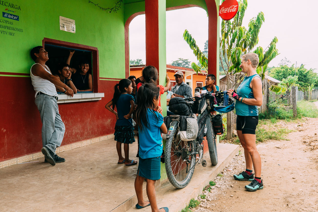
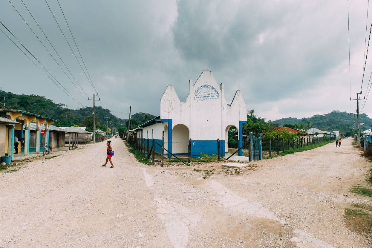
Between Tonina and Naha most of the villages were very simple, a couple of small tiendas and perhaps a cheaply built church (sometimes barely distinguishable from the other buildings), and we always turned heads when we rode through. In one village we noticed people staring at us from the entrance to a rudimentary church and decided to ride over and say hi – in an effort to appear less alien and make some contact with locals.
As we neared the people scuttled back inside in shyness and we wondered if we’d done the right thing, but another man appeared from inside and started to speak with us in Spanish. We spoke for several minutes, and during that time the inhabitants’ curiosity got the better of them and they came back out of the church one by one to examine these tall white strangers with bikes. Unusually none of the young people in the village spoke Spanish, only their local Maya language.
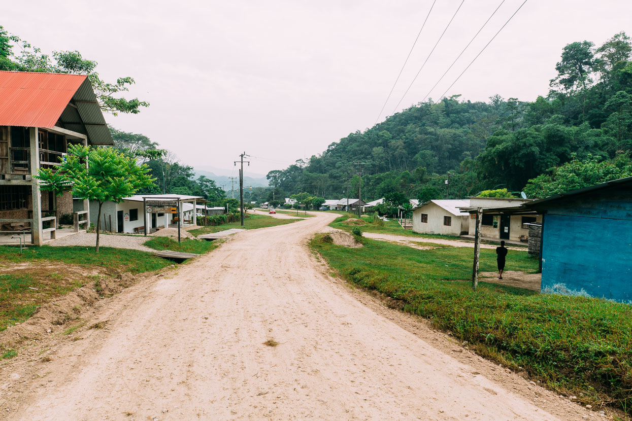
The small lakeside village of Naha made a perfect stop for the night. Located in a federally protected biosphere region in the Lacandon jungle, and peopled by Maya of the same name, this village has set up a small ecotourism operation with cabañas, camping and a small restaurant. They also run jungle walks and kayaking trips.
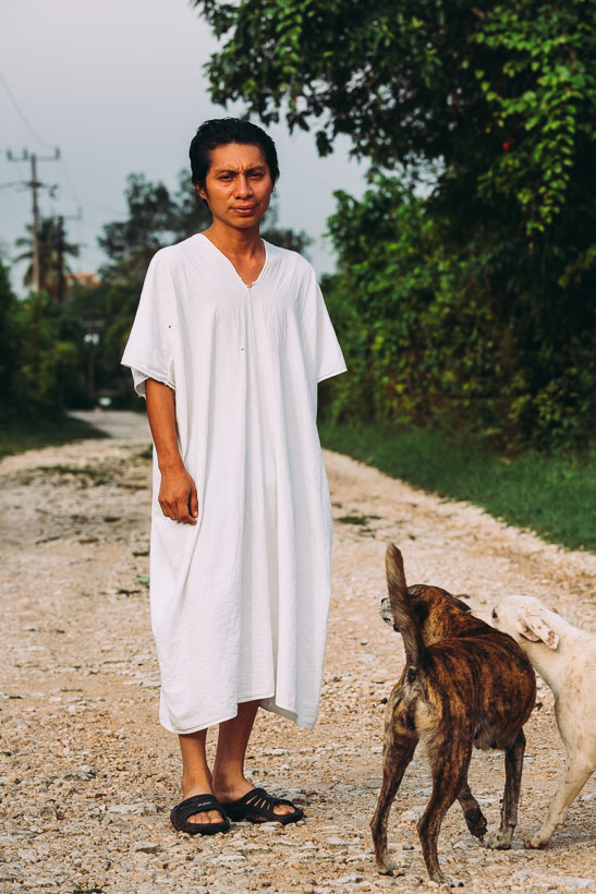
Due to this region’s remoteness, until about the 1980s the Lacandon people maintained their traditional customs and lifestyle more successfully than any other indigenous people in Mexico, but logging, roading and the arrival of other settlers and ranchers has sadly disrupted their way of life. Today approximately 650 people speak the Lacandon language and it’s common to see males in the traditional dress of a long white sleeveless tunics. During the drizzly, misty evening we spent in Naha, seeing these men wandering in their tunics created the appearance of escaped mental asylum patients – quite odd.
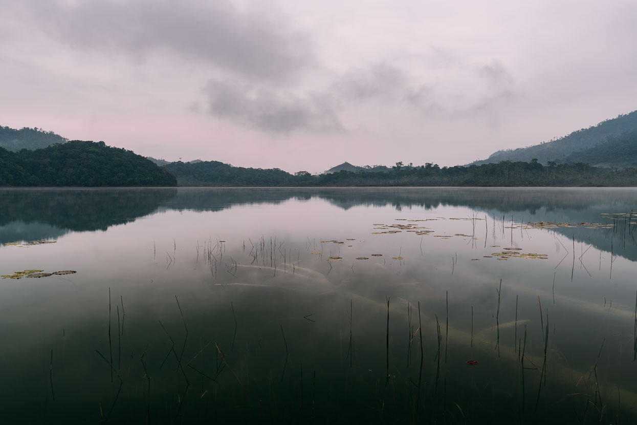
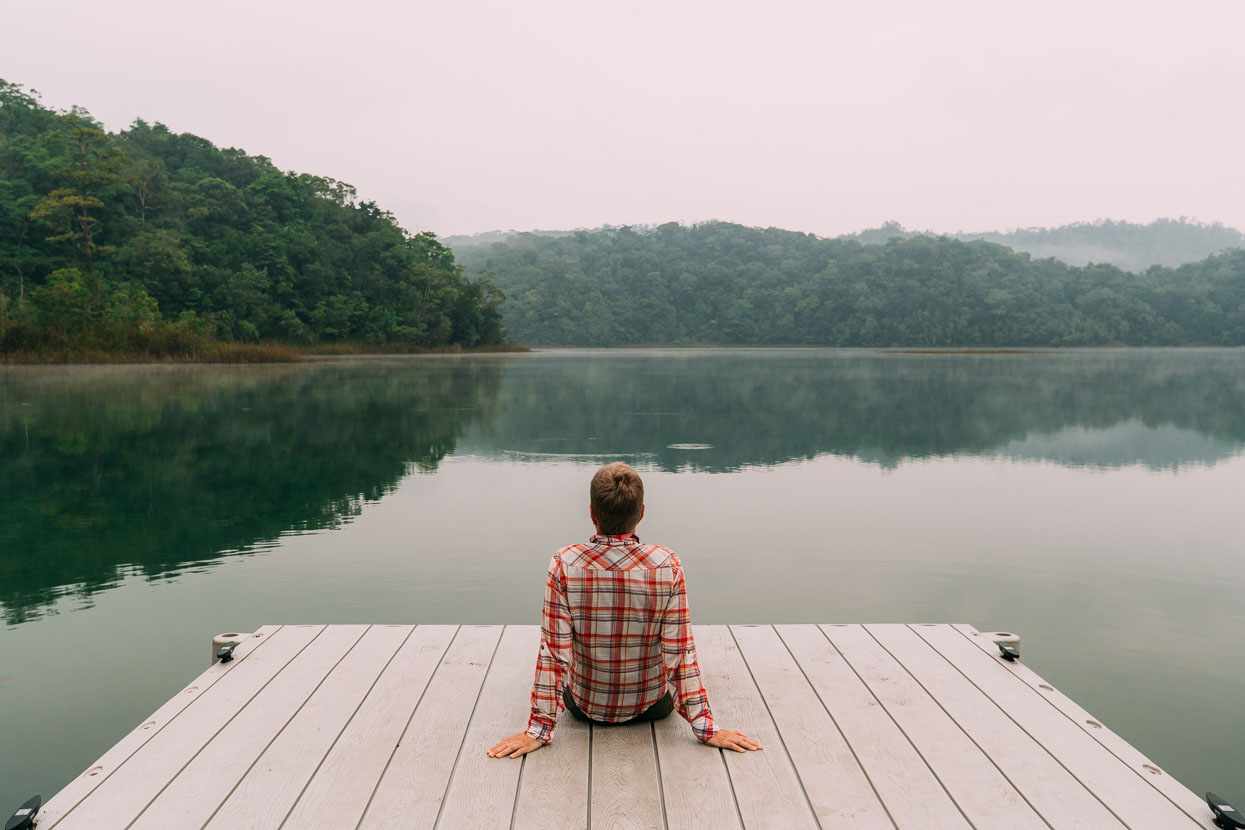
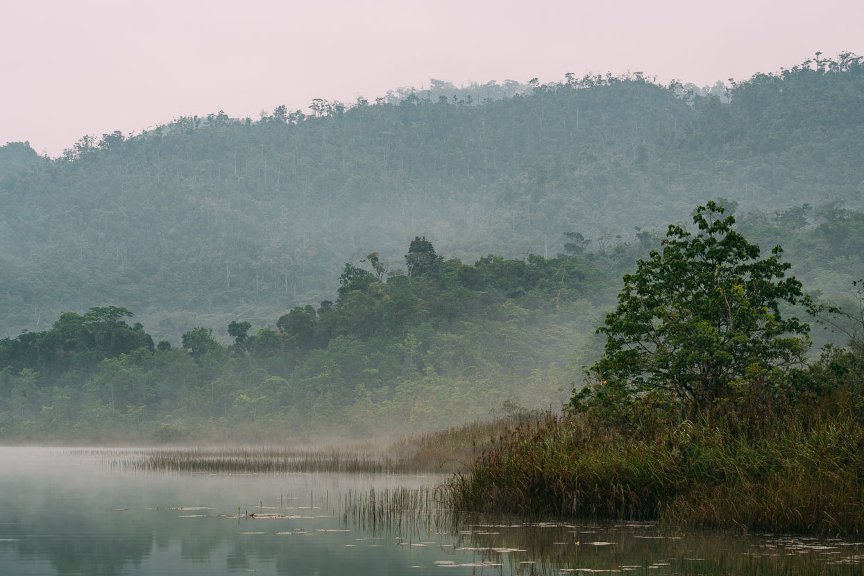
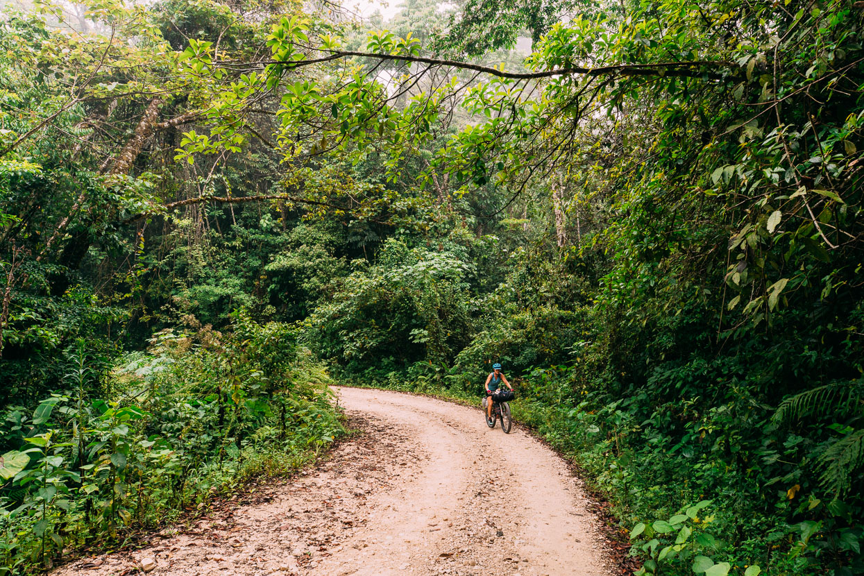
Our penultimate riding day in Mexico was one to remember: the jungle roads, the toucans flying overhead and the smiles and waves and broken conversations with locals reminded us how far we’d come from the indifferent attitude of some of the first Mexicans we met in the homely highway towns of northern Baja.
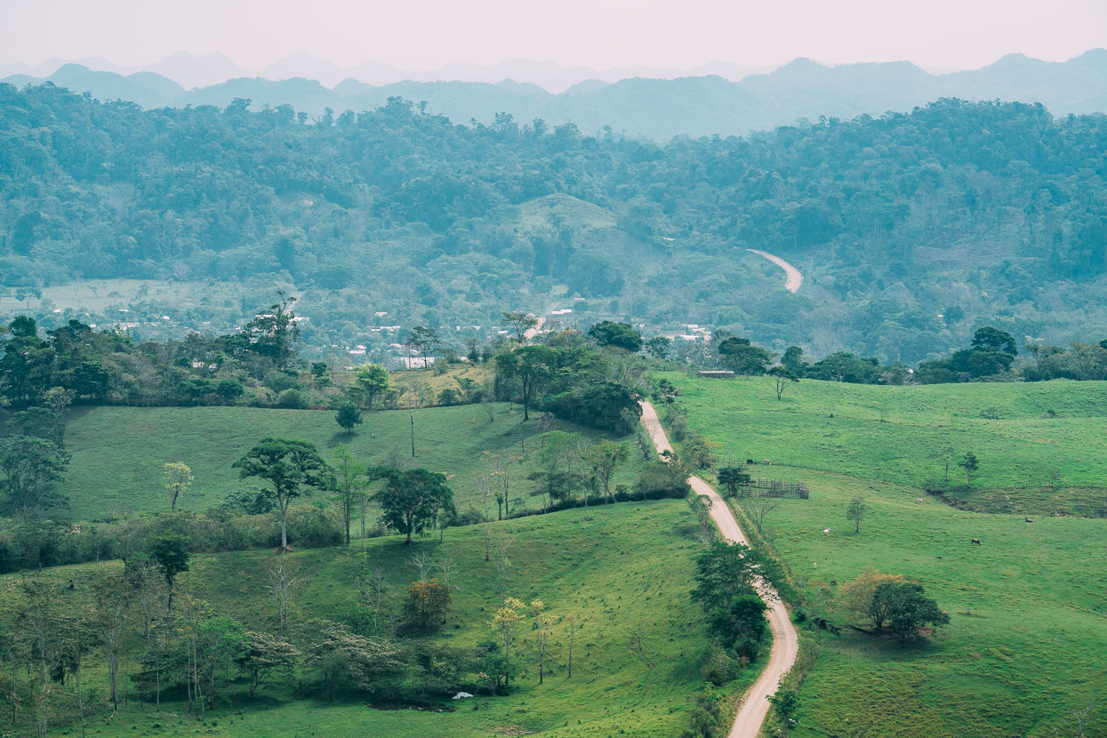
As we neared the flatlands of the border region and the Carretera Fronteriza the last of Mexico’s mountains gave way under our tyres one by one until there were no more hills to ride.
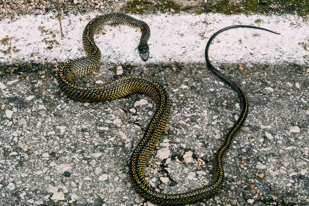
The highway’s toll. I generally resist taking road kill photos because I find it sad, but seeing as this rather large snake wasn’t mangled…
We used the Lacandon village of Lacanja Chansayab as a base to visit the Mayan ruins of Bonampak the following day. It’s a nice peaceful retreat in the jungle that’s well worth the detour from the frontier highway.
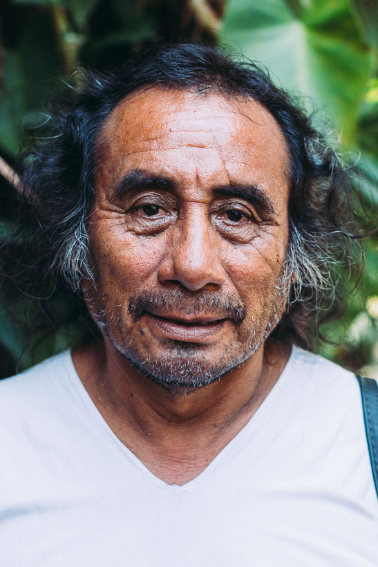
Below: Kayon and Enrique Chan K’in Paniagua; Lacandon men in their traditional tunics.
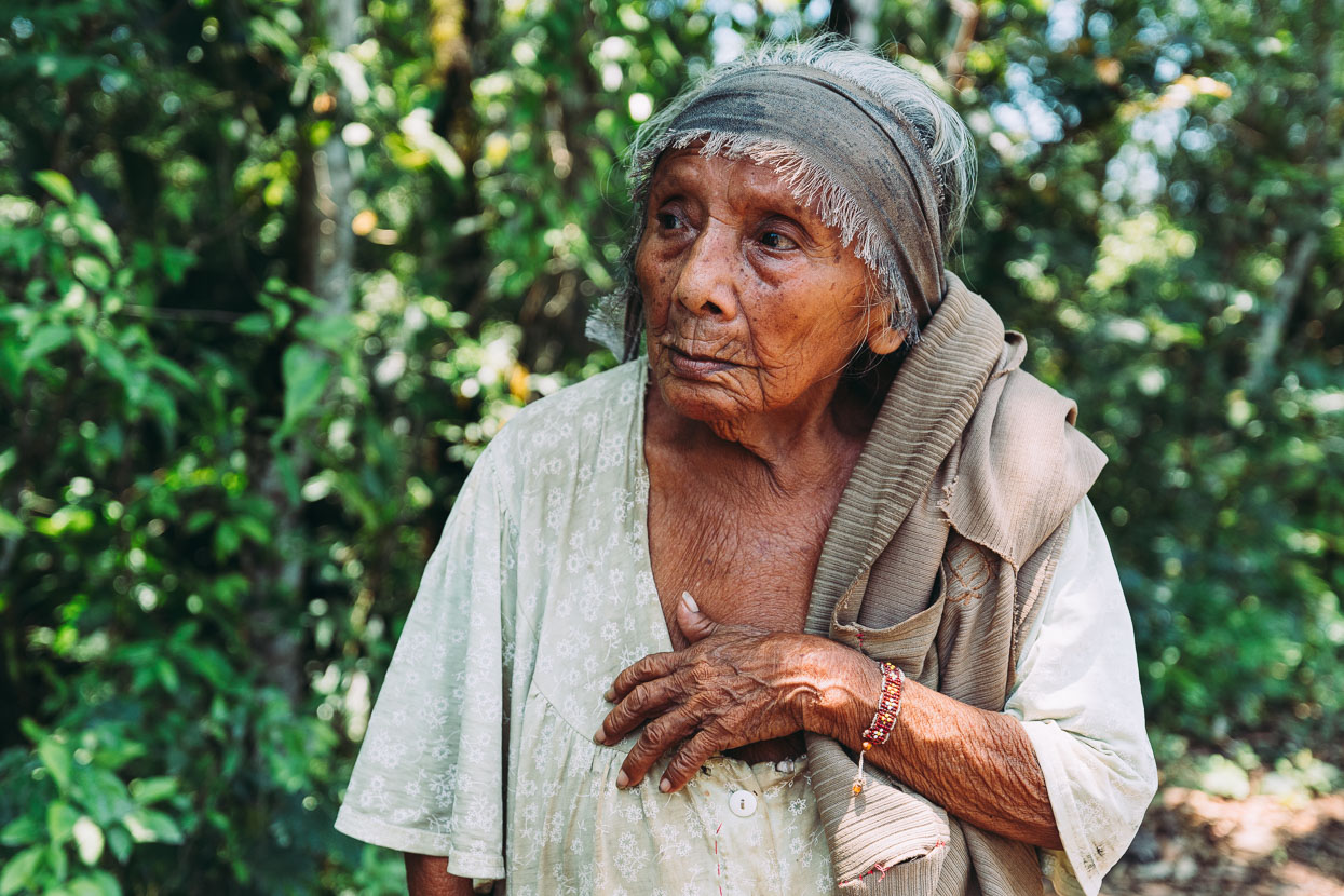
An elderly Lacandon woman.
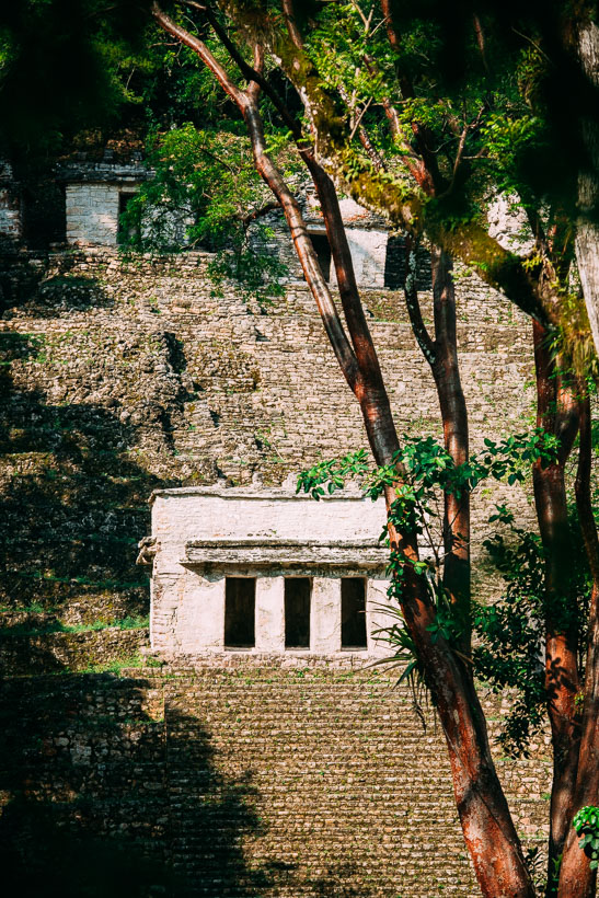
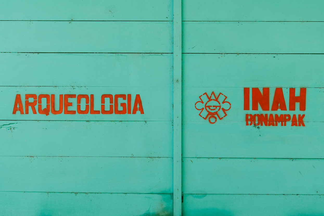
Bonampak is a small and unprepossessing Maya site that’s famous for its Temple of the Murals: vivid and detailed depictions of Mayan culture that bring to life what may have previously been on your imagination if you’ve visited a few temples. The style of dress of both Mayan royalty, the military and their opponents are instantly tangible.
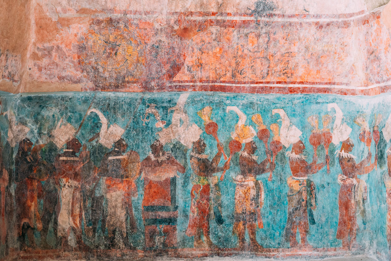
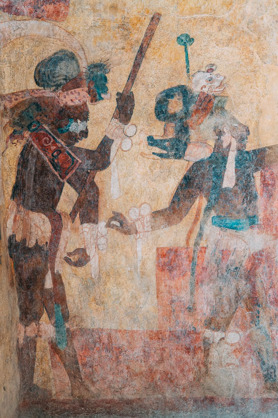
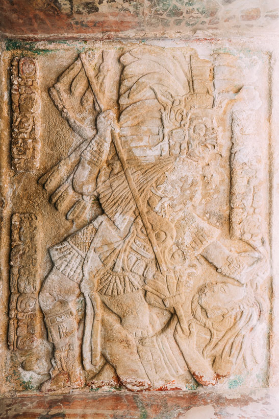
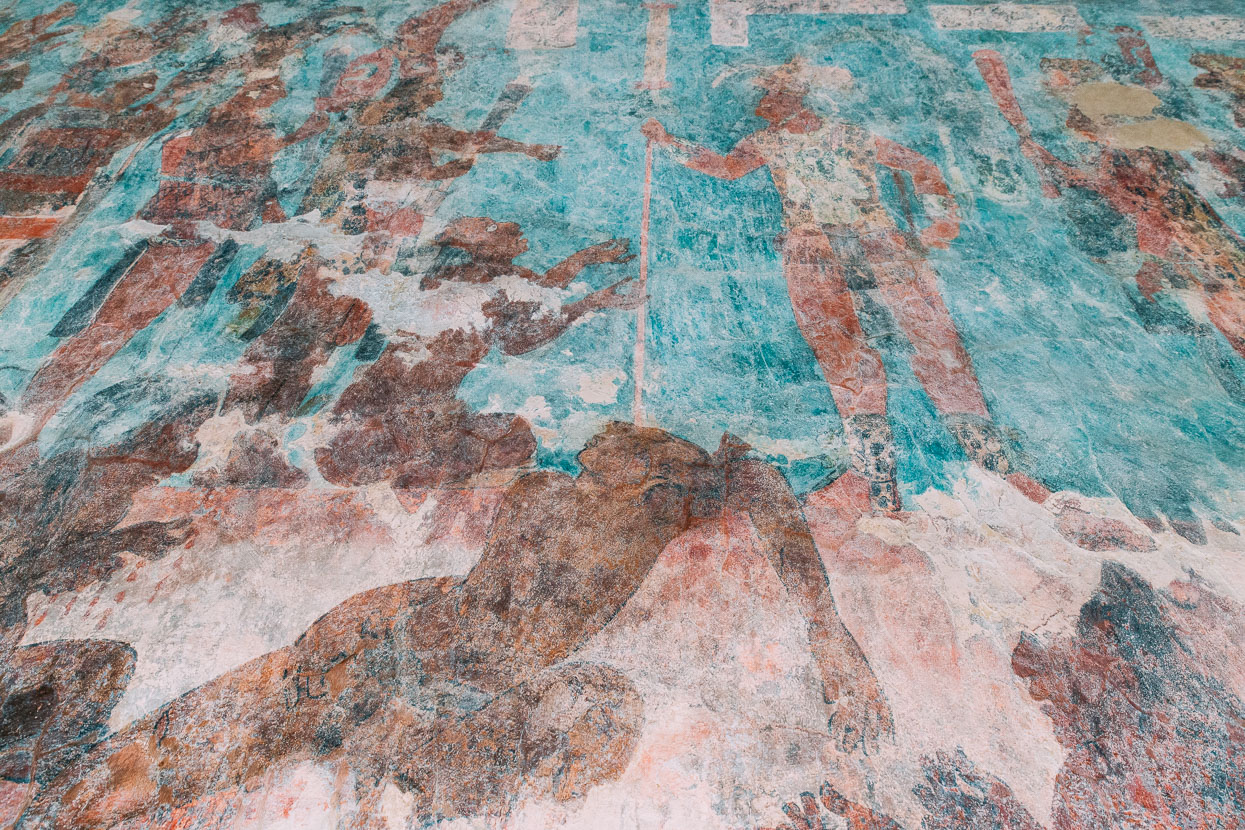
Prisoners of war are tortured by the extraction of fingernails and later sacrificed.
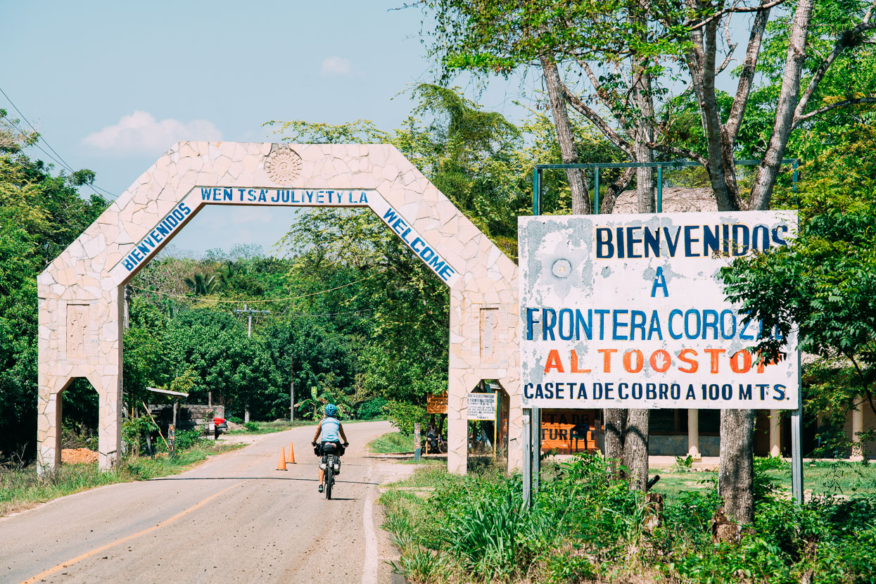
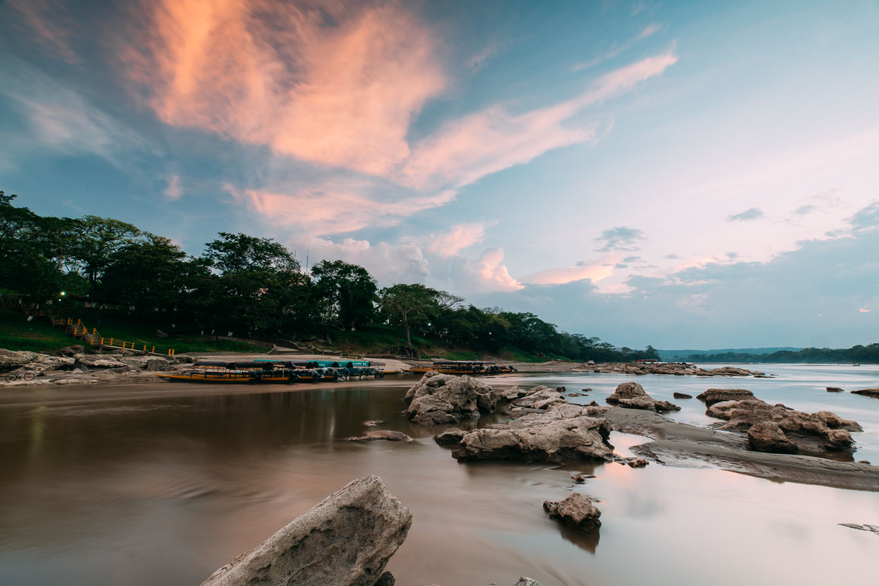
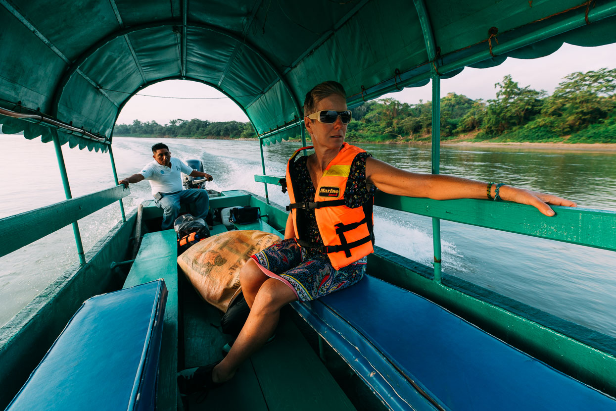
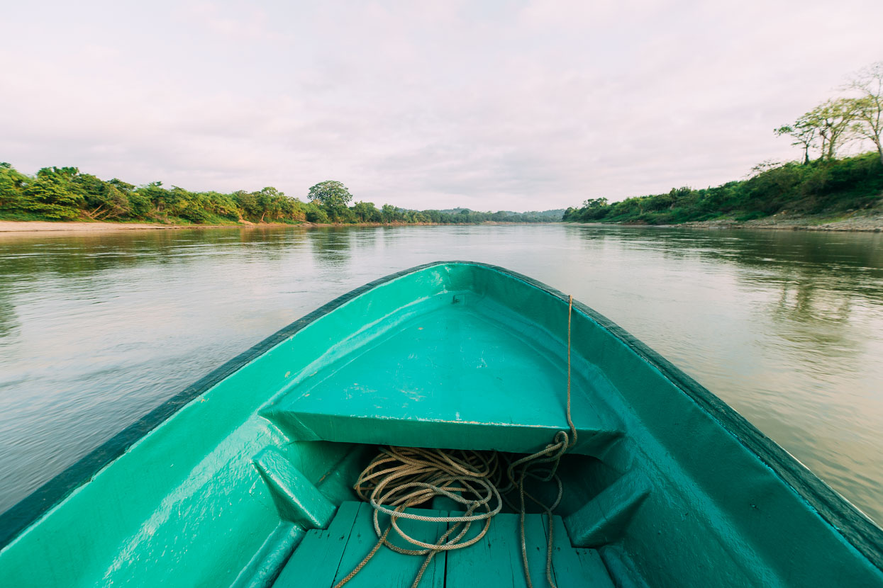
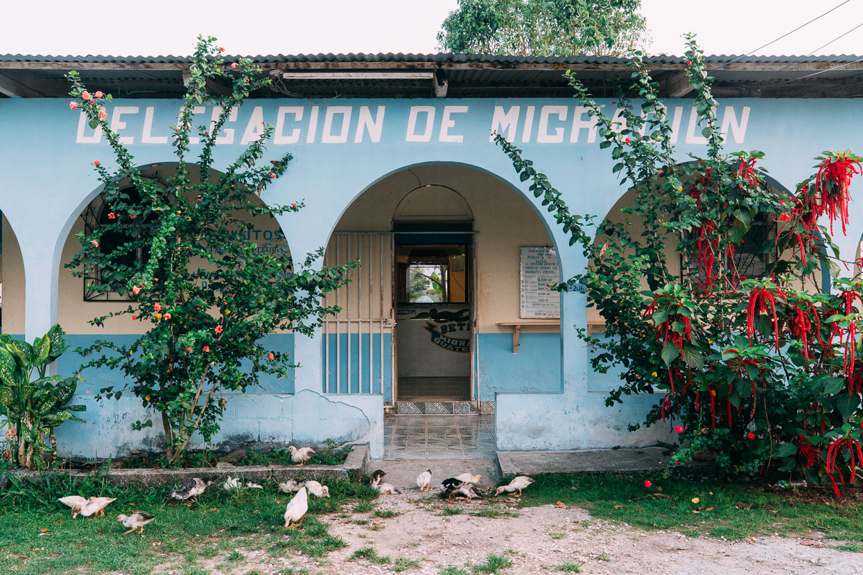
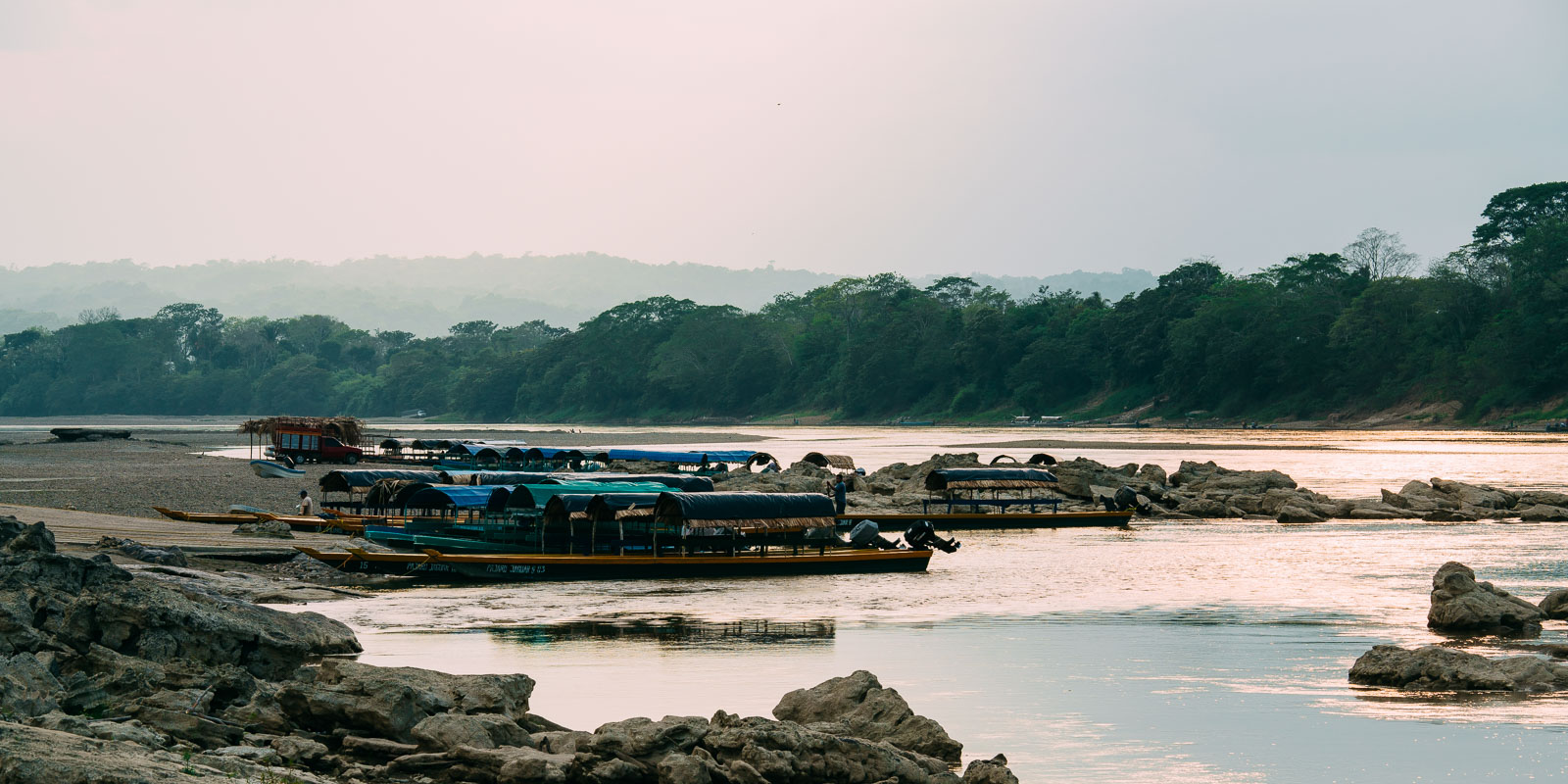
We ran out of Mexican road to ride at the sleepy riverside town of Frontera Corozal. Only established in the mid 1970’s the town has two faces: the traditional farming community and a burgeoning tourist trade, as it’s the base for lancha (longboat) trips to the once very remote Mayan city of Yaxchilan. On the far side of the fast flowing Rio Usumacinta lies Guatemala and unofficial border crossings were once made here. Nowadays there’s a immigration office on the Mexican side, but the arrangement is still loose. There’s no security or guards of any kind and it’s as simple as a five minute lancha ride to be in Guatemala, although many people get a ride to Bethel, which is closer to a Guatemalan immigration office.
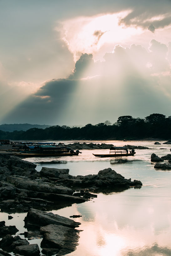
To the left, Mexico and to the right, Guatemala.
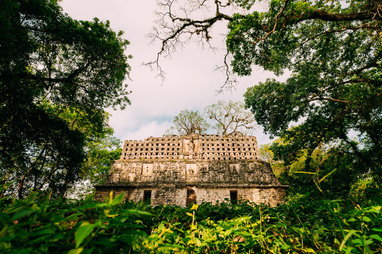
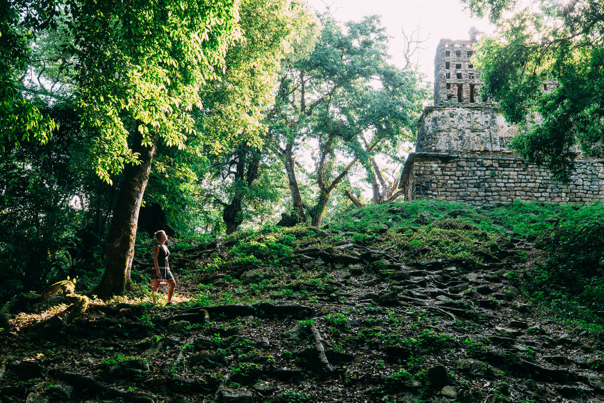
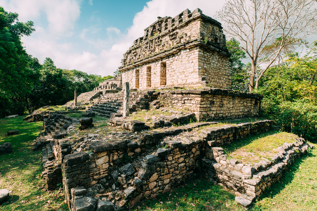
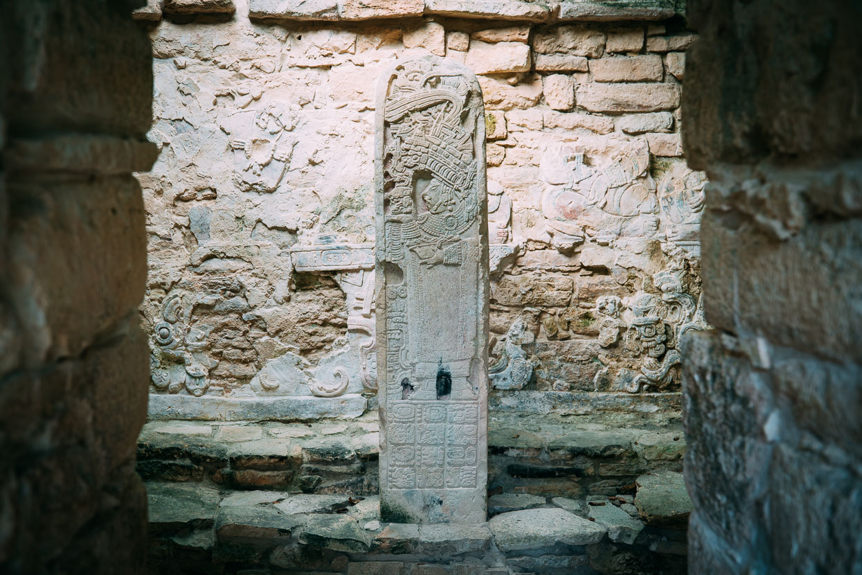
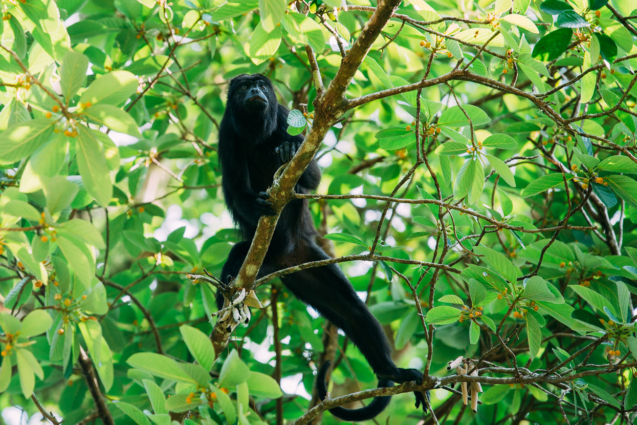
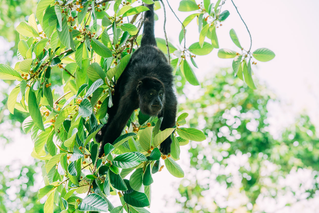
Before saying goodbye to Mexico we took an early morning ride to Yaxchilan (40 minutes away by lancha) and spent three hours wandering the ruins. We were lucky to catch a group of howler monkeys feeding in a tall tree in the centre of the site. These monkey’s primordial howls could be heard all along both sides of the river at Frontera Corozal and are almost unsettlingly eerie.
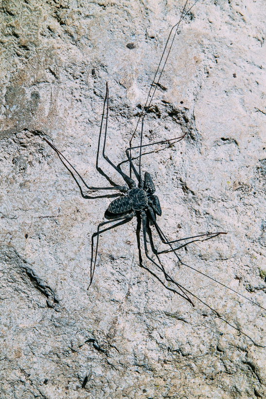
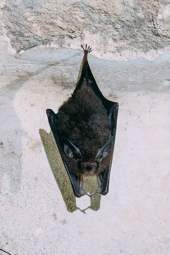
What’s worse than a spider or a scorpion? A scorpion spider. Bats too.
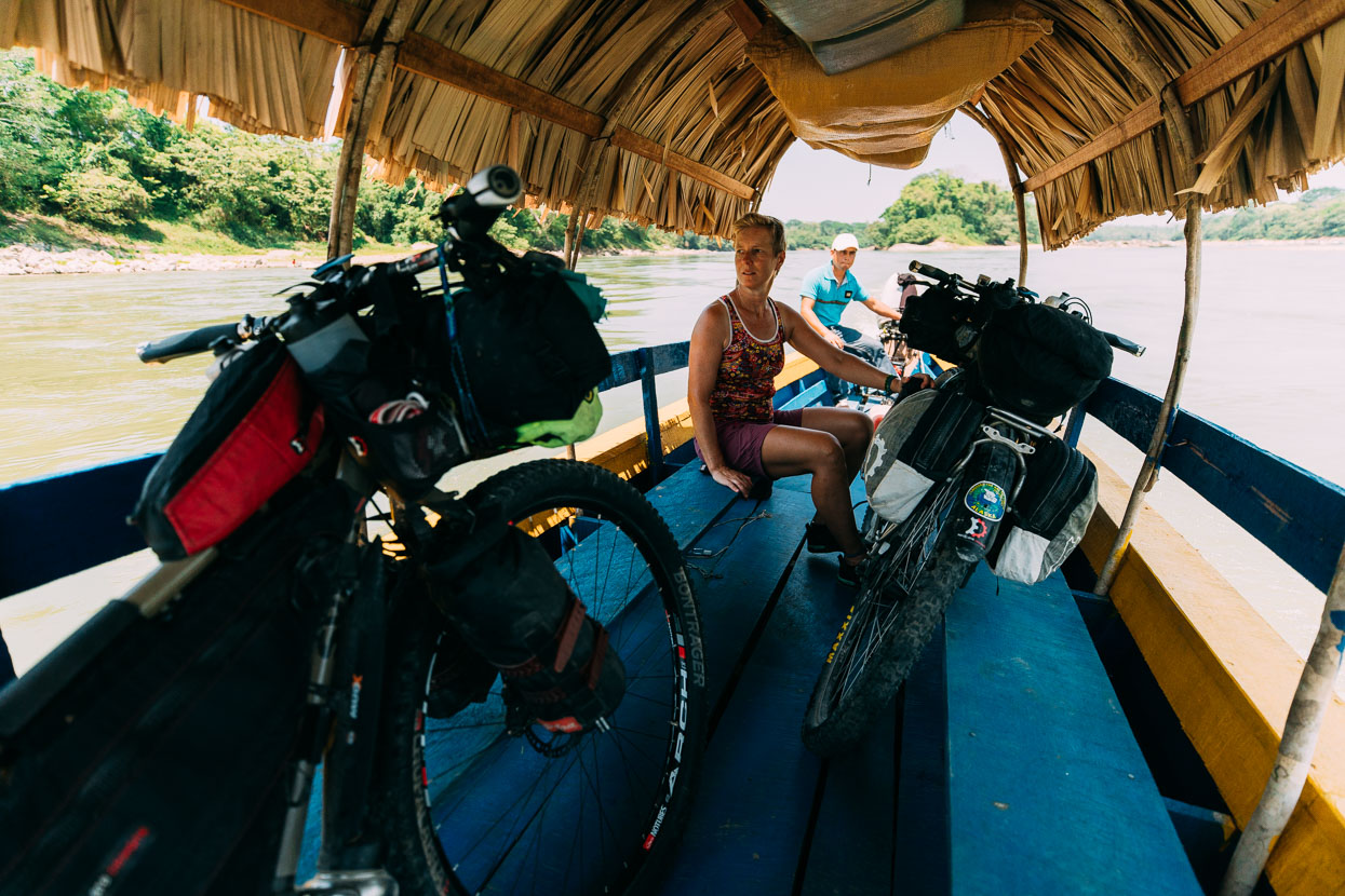
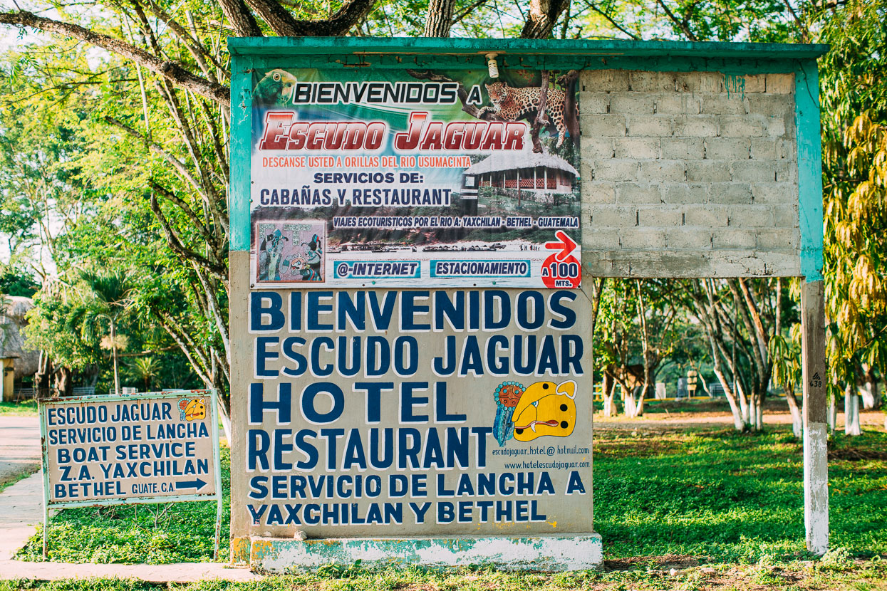
Finally we crossed the river to La Tecnica on the Guatemalan side and the rode about 14 kilometres to the riverside village of Bethel. We planned to spend the night there but the three posadas were inexplicably full, so we spent a couple of hours wandering, watching the world go by and eating fried chicken and chips before biking back down to the immigration office and comedor and camping on the grass.
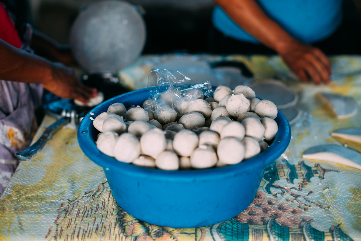
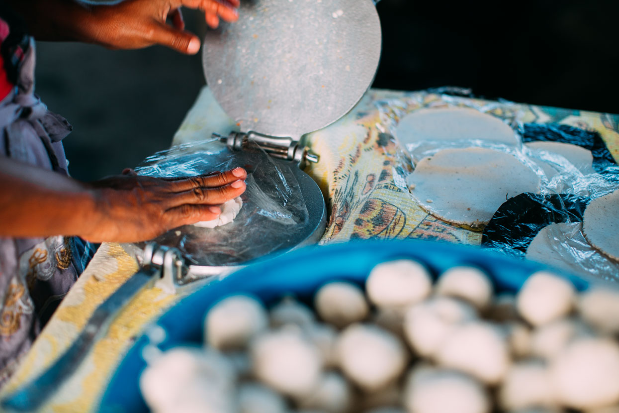
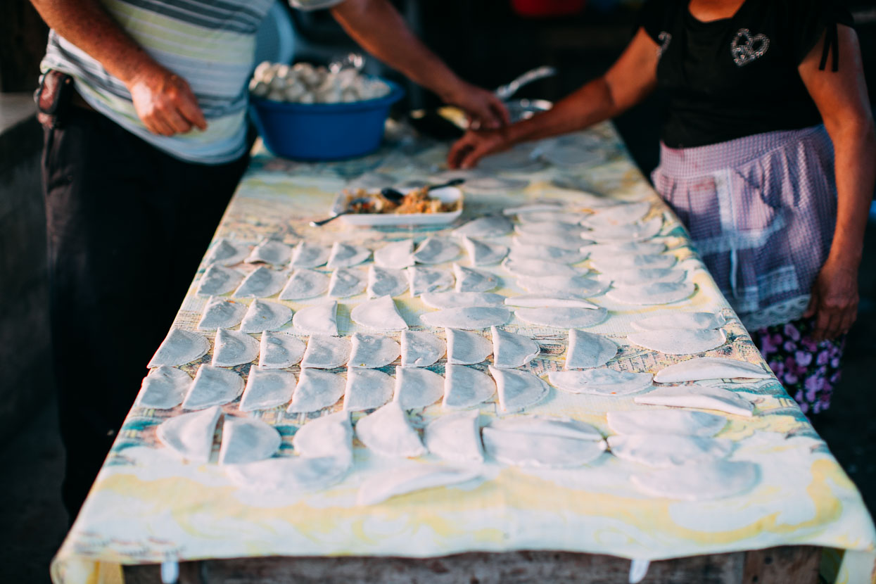
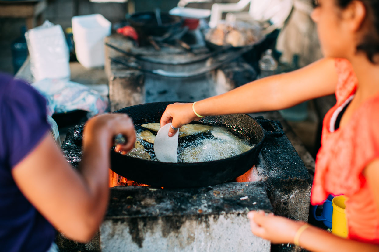
An empanada production line. Bethel, Guatemala.
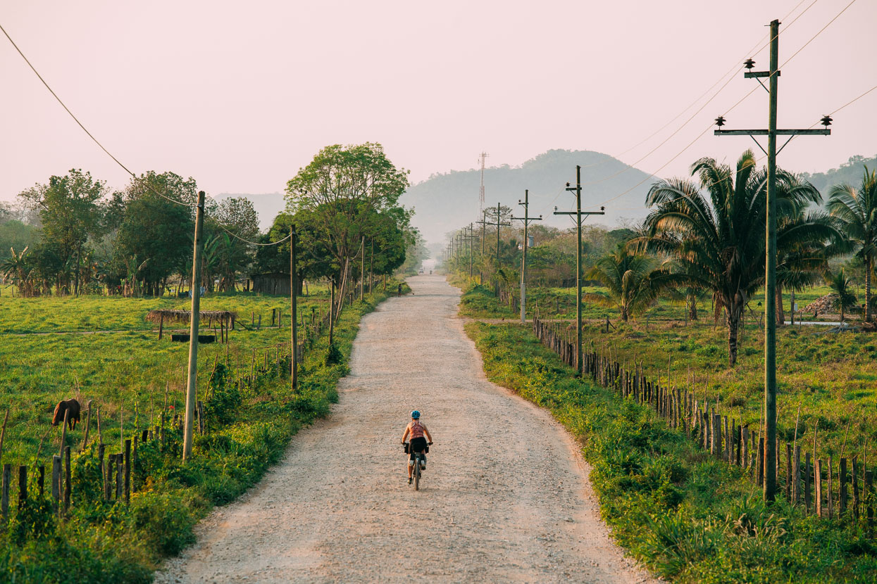
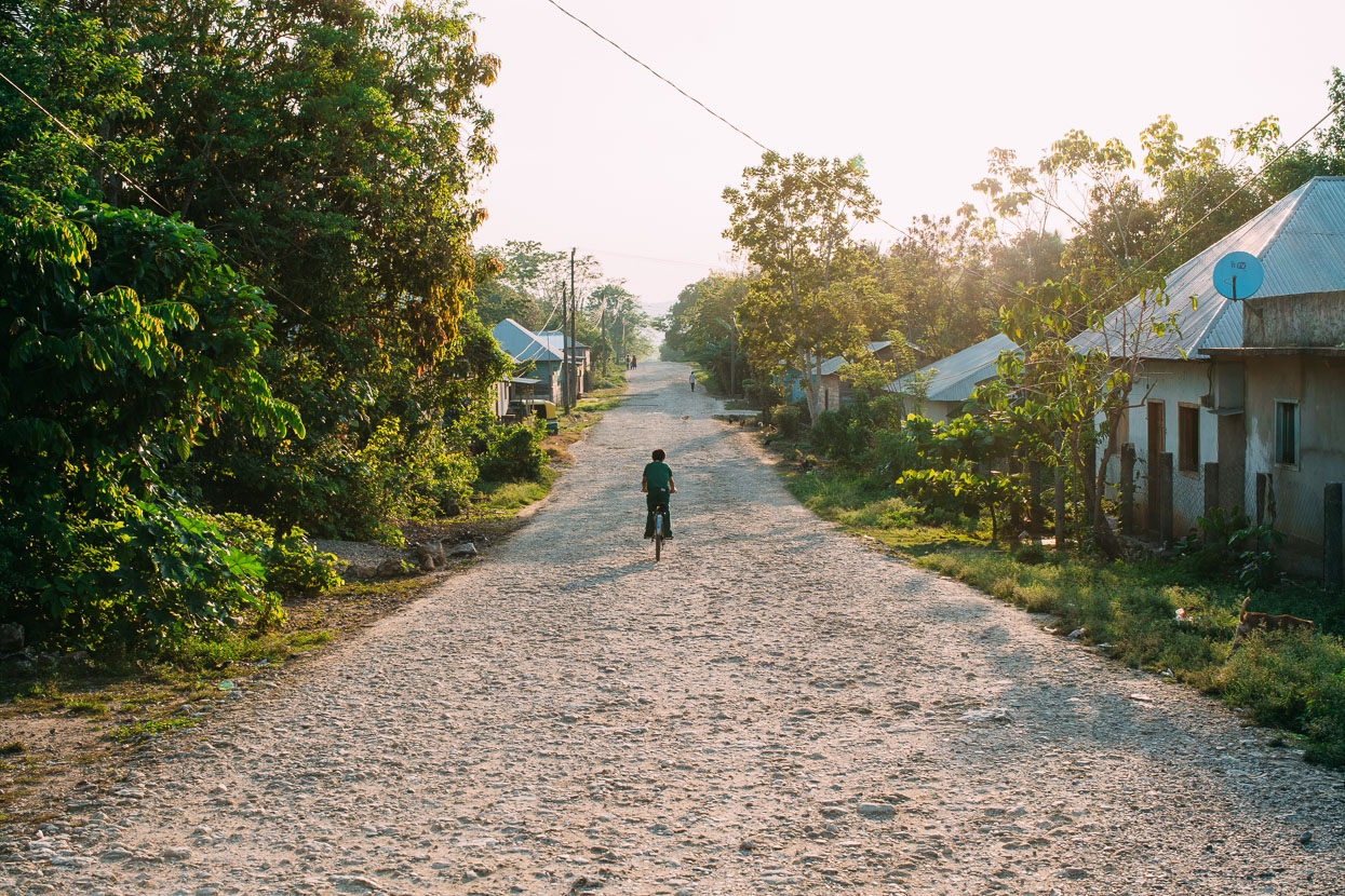
In contrast to the rich jungle of the Mexican side of the border, the Guatemalan side has been ravaged by slash and burn and this was a typical view for the ride through to Flores.
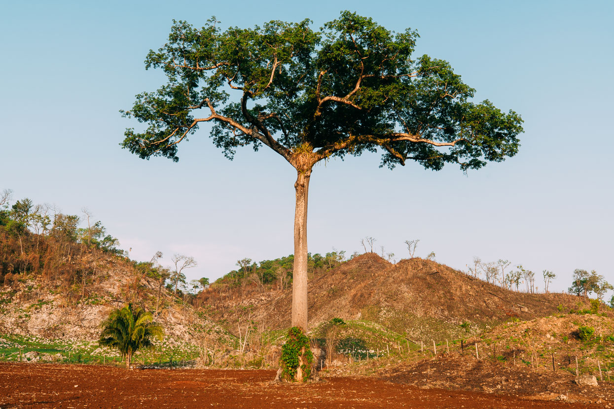
At least they leave the kapok trees. These trees are of great mythical and spiritual importance to the Maya.
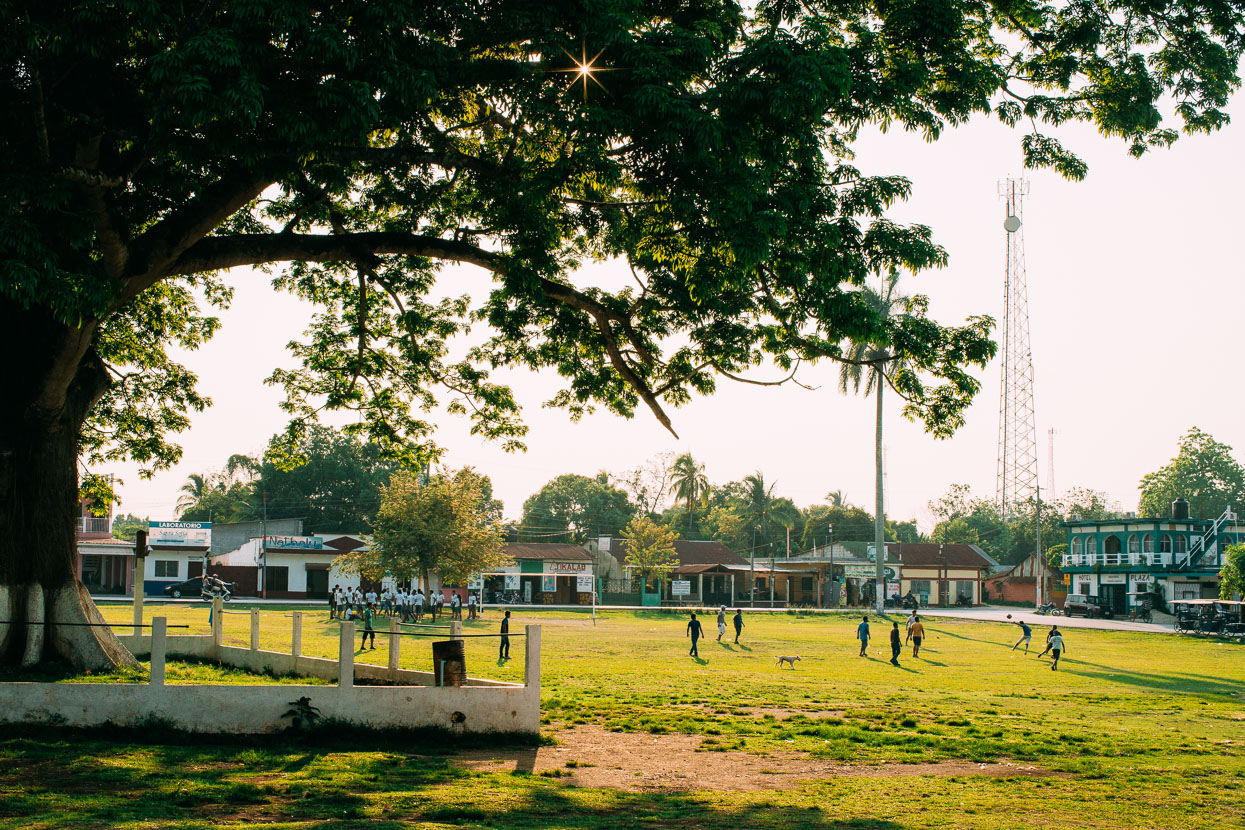
La Libertad. We spent the night here on day two in Guatemala before heading on the remaining 28 kilometres to Flores the next day. Days have been brutally hot (mid to high 30’s) and we’ve been making 5am starts to beat the heat. By mid afternoon riding conditions are pretty harsh, but an early start allows an earlier finish.
We stopped at the La Danta Project (a Warmshowers host) in San Benito, rather than head directly to Flores, intending to stay a few days and attend some Spanish classes, which La Danta organise. We were also interested in accessing the legendary and very remote Mayan city of El Mirador either via bike or foot, and ended up joining a guided hiking trip (via La Danta) that was leaving early the following morning: that’s the subject of the next post… Thanks for reading!
Thanks to Biomaxa, Revelate Designs, Kathmandu and Pureflow for supporting Alaska to Argentina.



Great blog. I’m going to be riding through Mexico shortly as well… Did you avoid the coastal states for safety or interest? Do you have good non-highway route recommendations for mainland Mexico? Thanks for all these great posts and beautiful pictures!
Thanks Mike! Yeah definitely have good recommendations – all of our route from Mazatlan south was consistently interesting and sometimes fairly remote. Quiet to non existent traffic the whole way. Check out our route map on the Alaska to Argentina page.
We avoided the coast because we’d driven it before, but also except for some beach highlights it’s not the best touring: too hot, dry and too much pavement and traffic. It’s cooler inland and much more diverse.
Yes. Great blog, indeed. I happened upon it while searching Reddit’s bikepacking subreddit for information on Central America. Either you or your partner had left a comment and link. I can’t thank you enough for putting it together. It’s incredibly professional and inspiring on a multitude of levels. I’ll probably be spending quite a bit of time here during the next month as I prepare for my journey southward from the state of Nebraska this October. Argentina is also my final destination.
Hi Matt – thanks for the nice comment! Good luck preparing for your trip and I hope it goes well. So much to see out there!