To Chiapas, the long way.
We’ve reached San Cristobal de las Casas; a classic colonial mountain town high in Chiapas. This mountain basin is ringed in pine and fir forest which is a substantial contrast to the steamy forest and jungle through which we have ridden to get here the past week.
This post is our penultimate from Mexico; from here it’s only 150km in a straight line to the border with Guatemala and the start of a new chapter. We’re taking a few days off here to sort out our bounce box to send onto Columbia (many months away), service the bikes, plan the next chapter, photograph, eat and relax. This post picks up where the last one left off; in Palomares, Oaxaca.
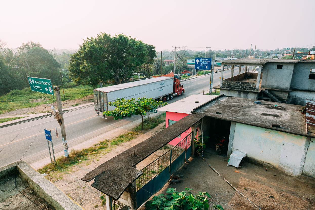
After the physical ride though the Sierra Madre de Oaxaca it was great to take a day off. Palomares was a grimy highway town with slow internet but plenty of hasty-but-tasty street food to fill our bellies for the next leg to San Cristobal.
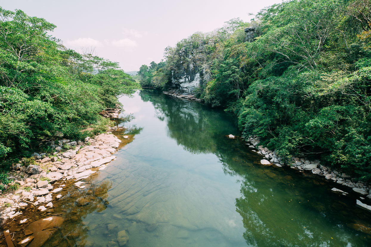
We were less than 50 metres above sea level by now, which felt unusual after so much time in the mountains. You could feel it in the heat and thick humidity too. The road was virtually flat for a day or two as we crossed the same plain that forms the flats of Veracruz and Yucatan: a great chunk of limestone that slopes into the ocean and is scored deep by slow moving rivers.
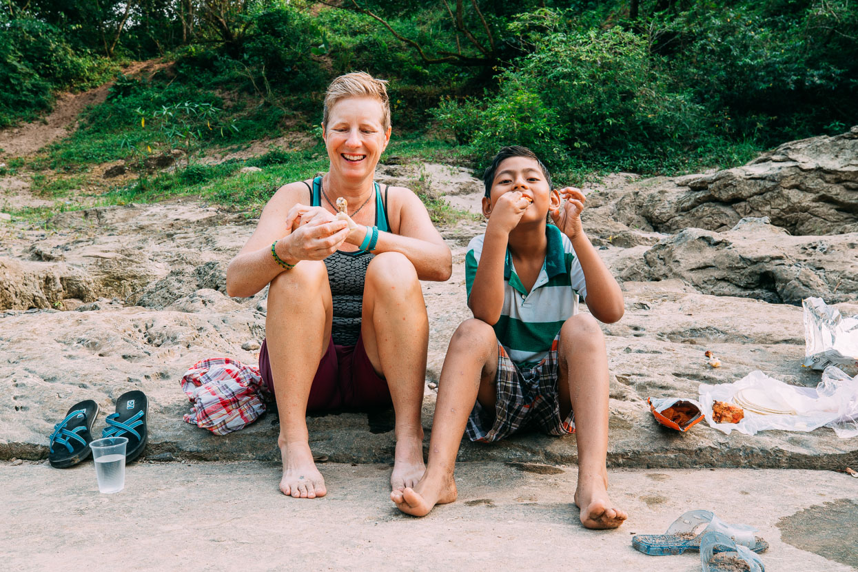
It was at the end of this first day from Palomares that the best run of Mexican hospitality that we have experienced started. We stopped in La Chinantla expecting to find a posada, but first bought a drink of pozol (a brew of water, corn meal, cocoa and sugar) from a fellow on the side of the road. His brother wandered over in interest and soon invited us to the local river with his wife and sons. A third brother (I think there were seven all together!) came along too with Mum.
We swam in the river, chatted and ate pollo al carbon and tortillas.
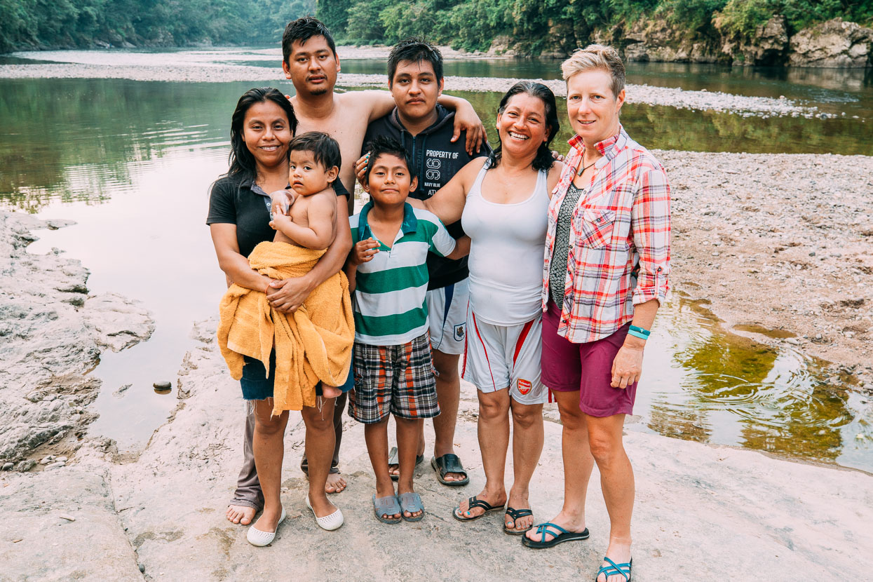
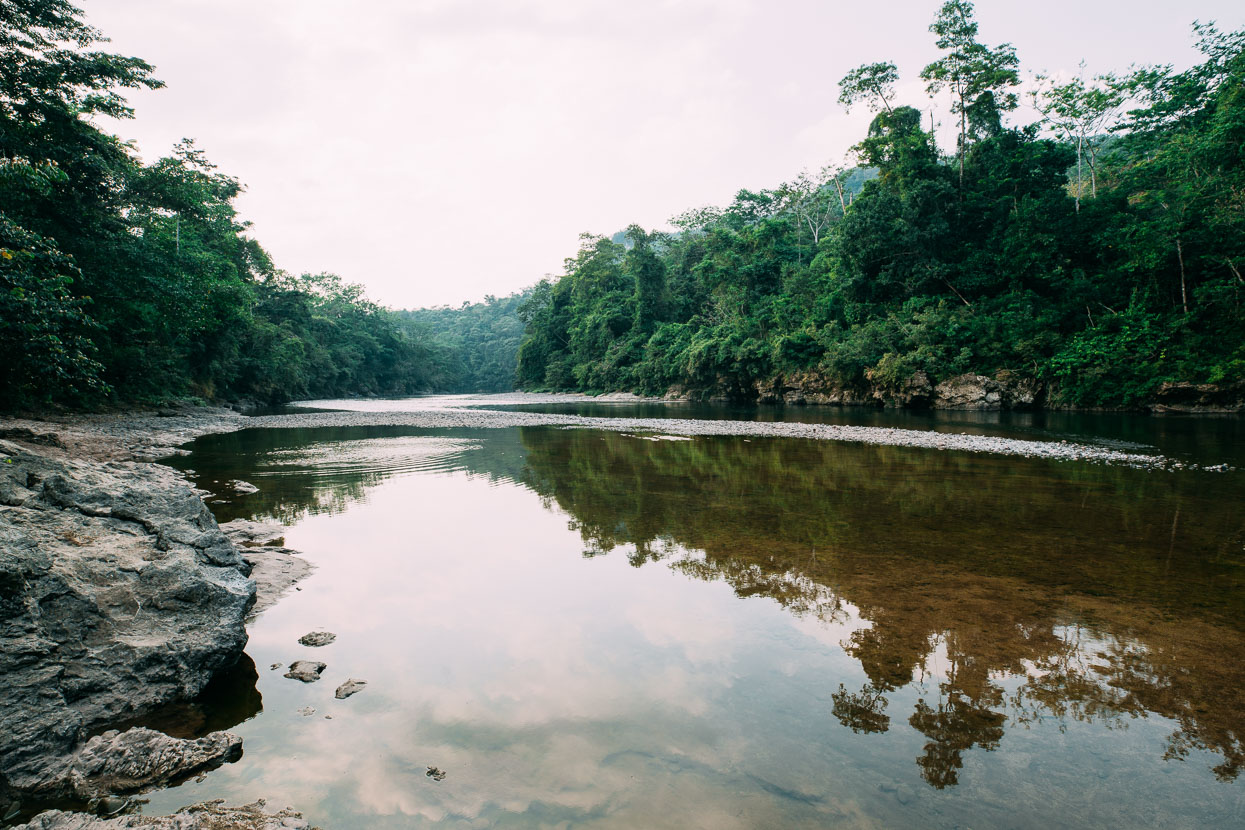
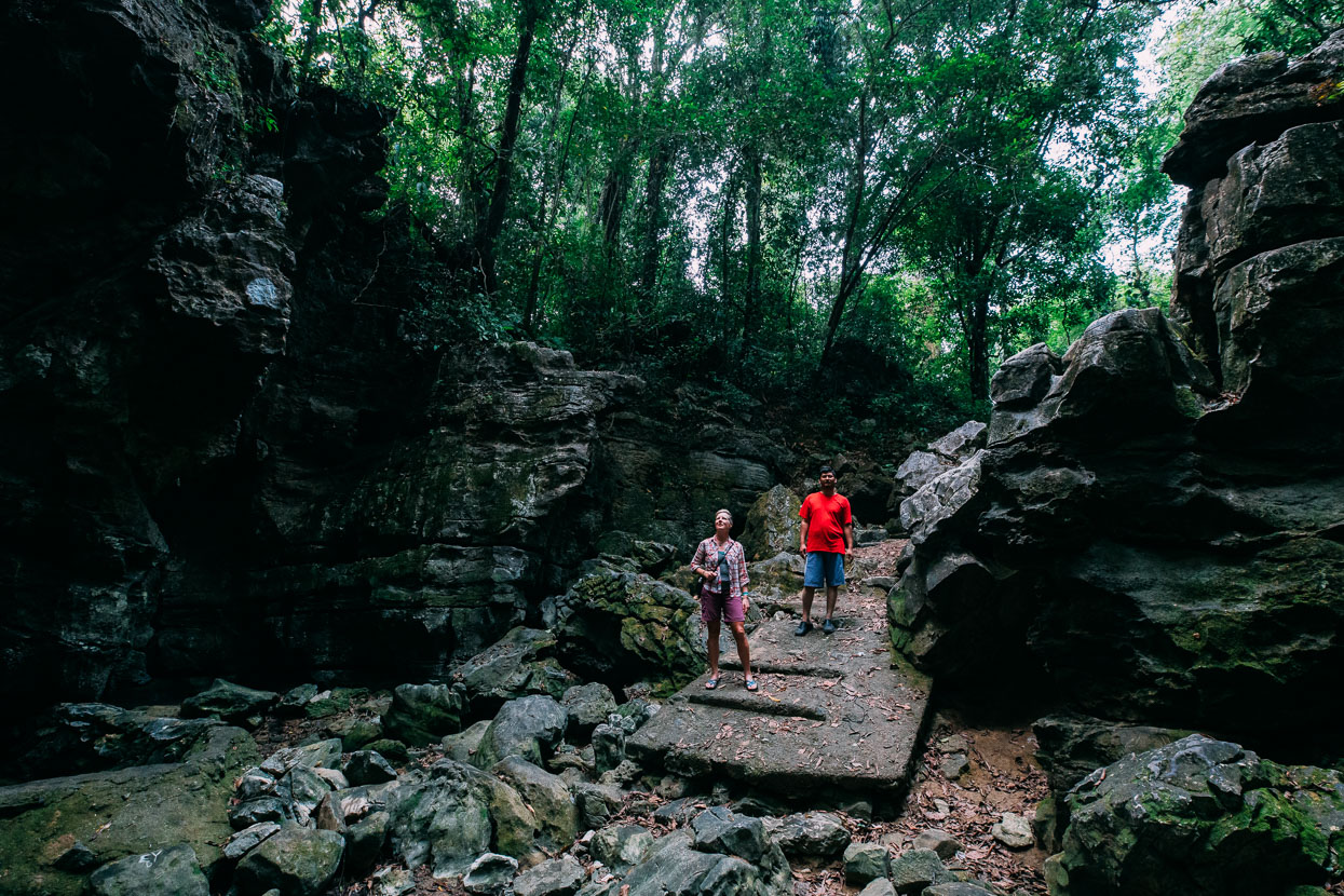
Orlando and Yolanda were keen to show us some more sites too: next up was an impressive limestone cenote, or tomo (as we call them in NZ), that fills from subterranean rivers in the wet season. We ended up sleeping at their place that night, along with various other members of the family. It was great to have a deeper level of contact with locals – and another chance to practise our Spanish.
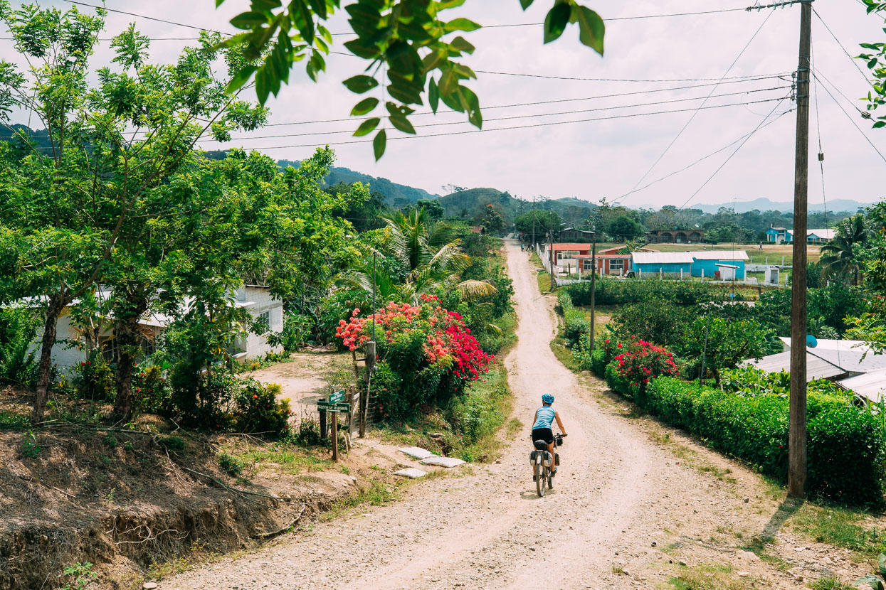
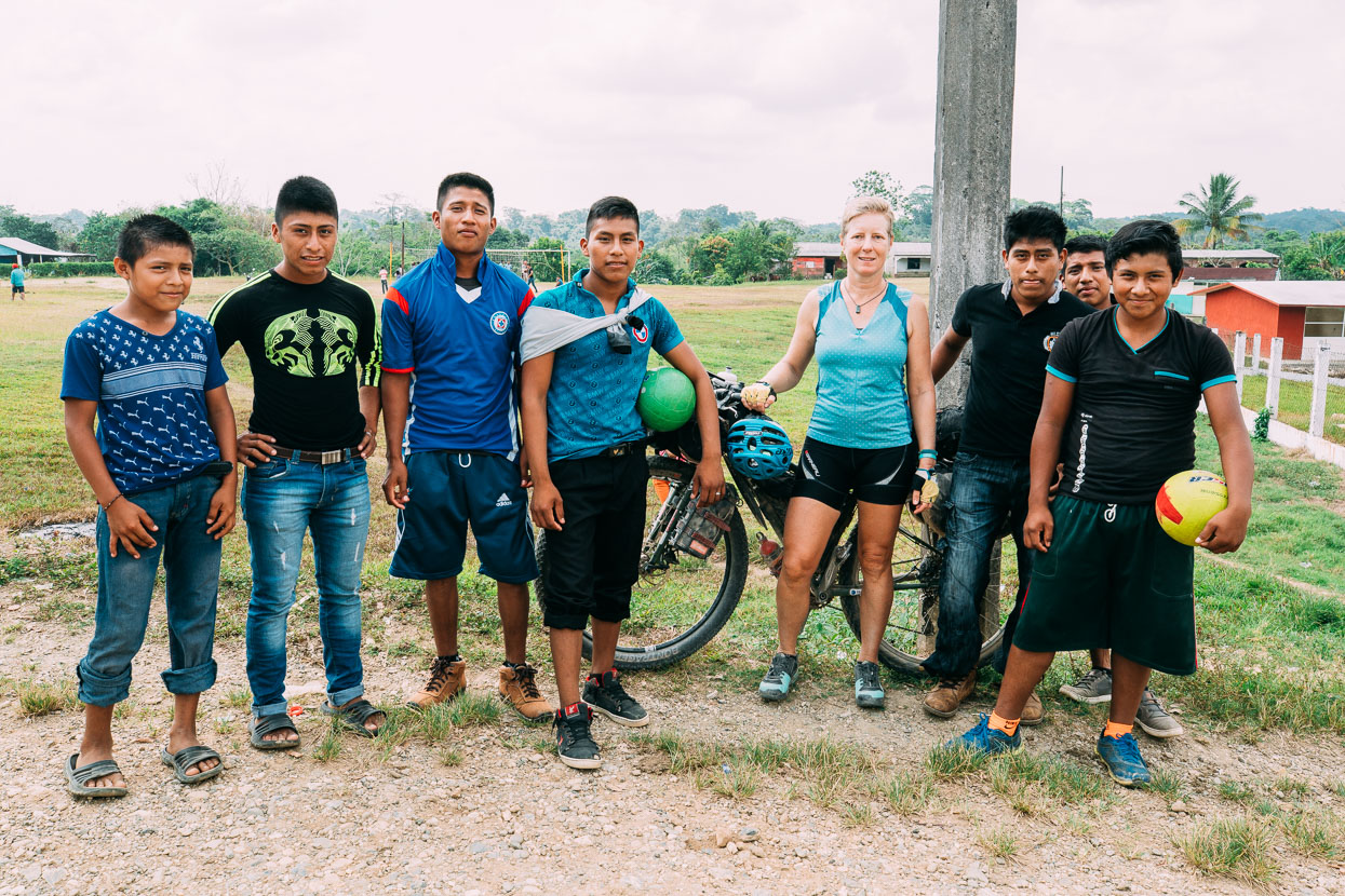
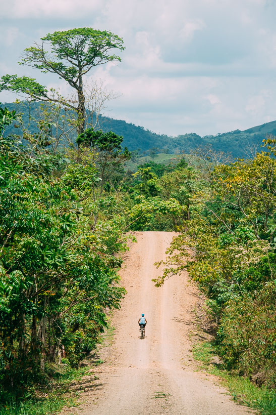
We turned north from La Chinantla to start forming a big curve through the jungly lowlands of Veracruz as we headed towards more mountainous Chiapas. The road was mostly dirt. Local traffic was almost exclusively motorbikes and small ‘collectivo’ vans (local busses) as private car ownership is limited in these generally poor areas.
There were occasional small villages and we noticed many had gates. With few police out here, we gather that local people shut the roads at night to prevent undesirable traffic. Many local men were carrying radios too, as a form of self-policing. We were stopped by one such man who asked us where we headed, before calling ahead to another man to notify the next village we were coming. On arrival there, there was a welcoming committee of three fellows who showed great interest in our travels and wanted to make sure we were ok, before waving us onwards.
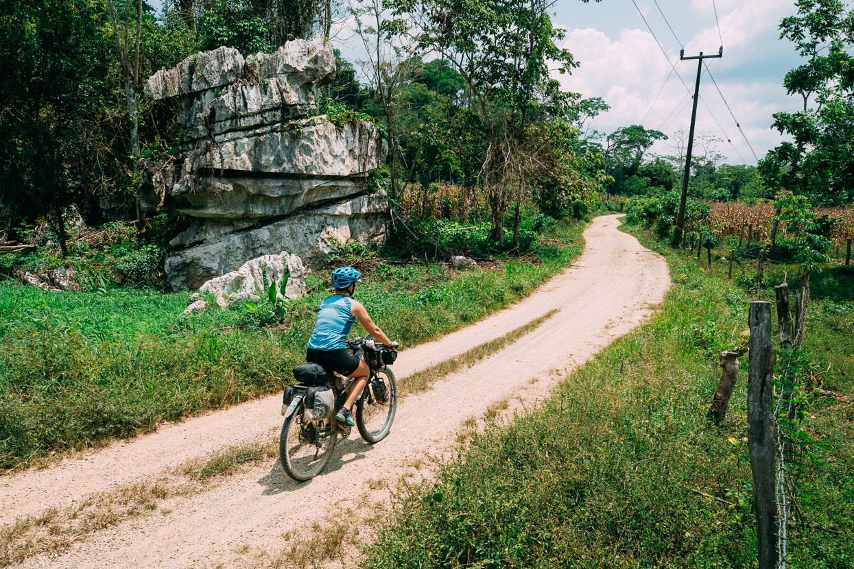
Pretty much perfect dirt touring terrain.
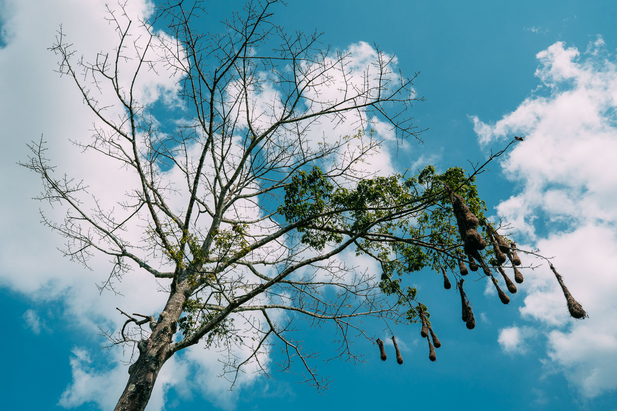
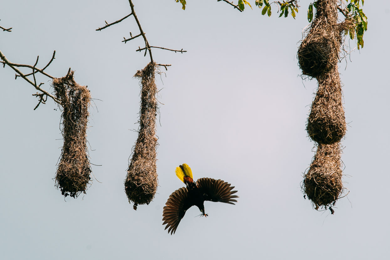
These distinctive nests have become a fairly common sight, sometimes even hanging off powerlines. They’re the home of the Montezuma Oropendola, a beautiful bird with an orange tipped beak and a bright yellow tail. I caught one here quite by chance with a lizard in its beak. They have a notable call too.
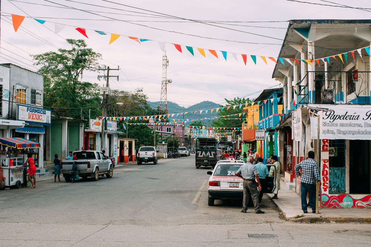
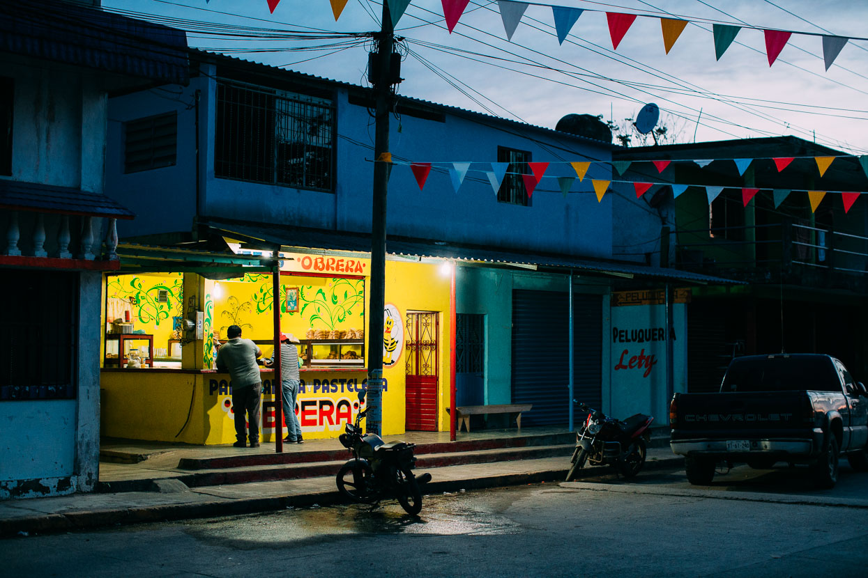
The largest town we stopped in in Veracruz was Nueva Esperanza (aka Cerro de Nanchital). It was grubby and not a particularly notable place and we got stared at a lot. We got a room for 200 pesos (NZ$14) that even had a TV and fan, but a rat ate some of Hana’s food during the night.
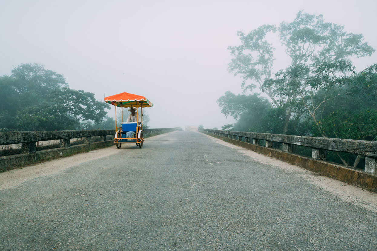
We left on pavement in the morning, beneath a heavy inversion. One of very few we’ve had the entire trip.
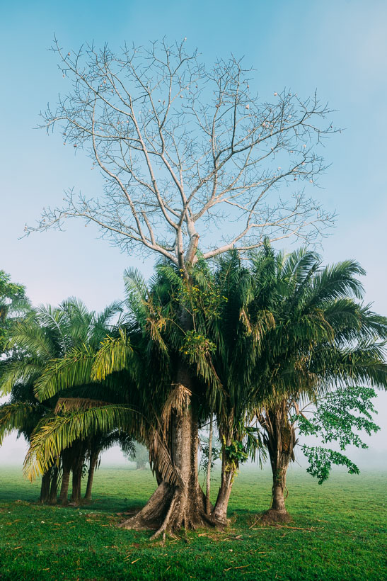
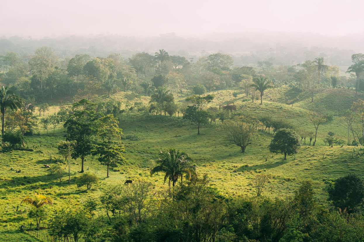
It slowly burned off into a another steamy day. We turned off the pavement and climbed gradually along a sinuous ridge that was flanked with lush cattle country. Sadly much of the original forest cover has gone, but it’s still a beautiful place to ride a bike.
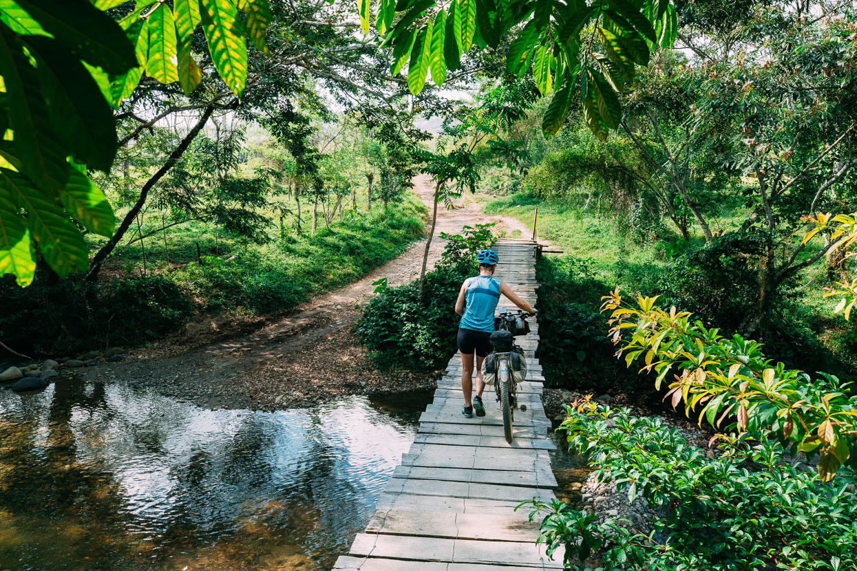
The dirt road gradually turned into a two track, passing occasional ranchitos. This bridge was simply two rusty cables topped with wired-on planks. Soon after that we passed two very drunk men on the back of a horse. One holding a machete and the other with a rifle slung on his back. Menacing at first sight perhaps, but they were more friendly than fearsome and told us it wasn’t possible to continue the way we were going. Lots of people say that to us, so we ignored them.
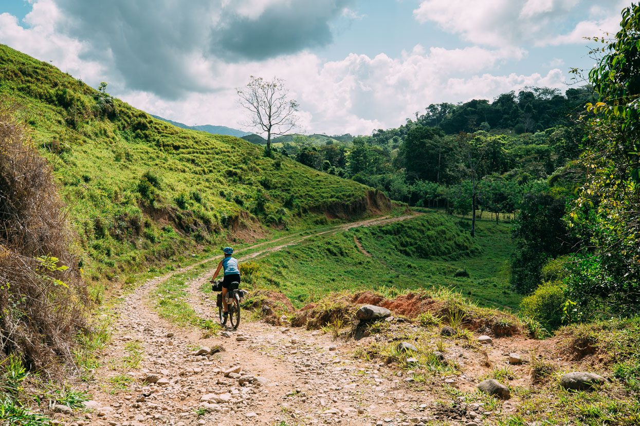
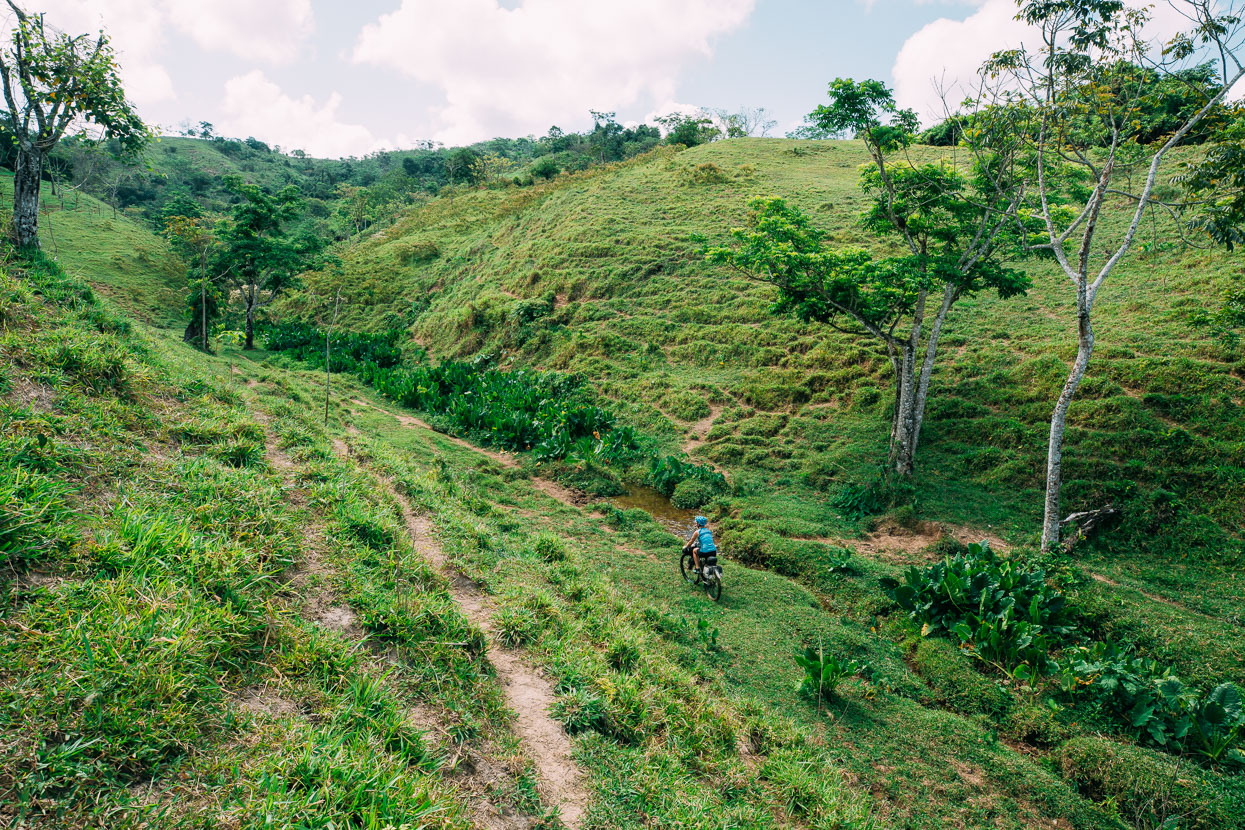
Not long after the drunks the road turned into a good single track through pasture, and then pretty much disintegrated into scattered cow trails. We were thankful to have an accurate GPX track for the route on!
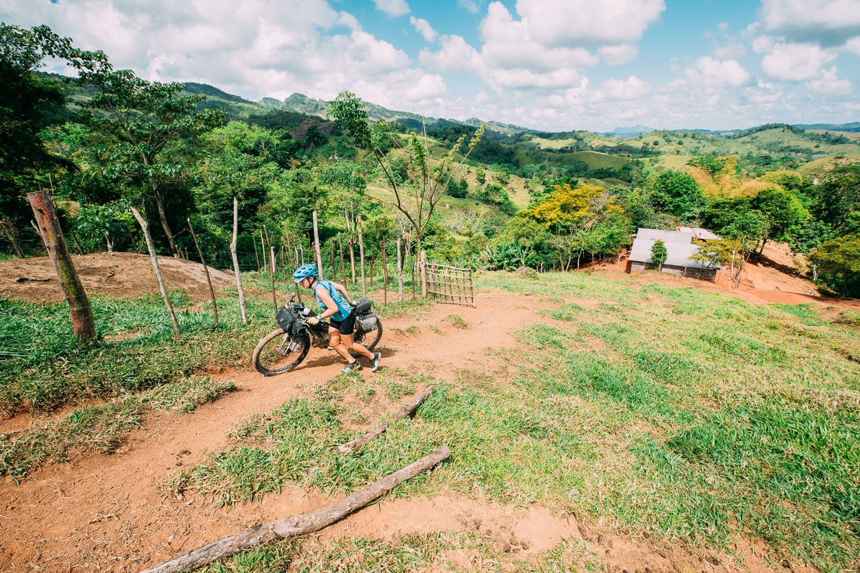
After a couple of small hillocks the tracks merged into one (mostly) again and we pushed and rode on for about 4 kilometres over a series of small hills. The pushing was fairly grovelly as cattle had pugged out the track and it was steep country. But we persisted. We could hear people cutting maize on a distant hillside but saw no one except for one boy of about 8 years old wearing gumboots, with a homemade bag over his shoulder and holding a machete. He barely spoke a word and just looked us with intense curiosity.
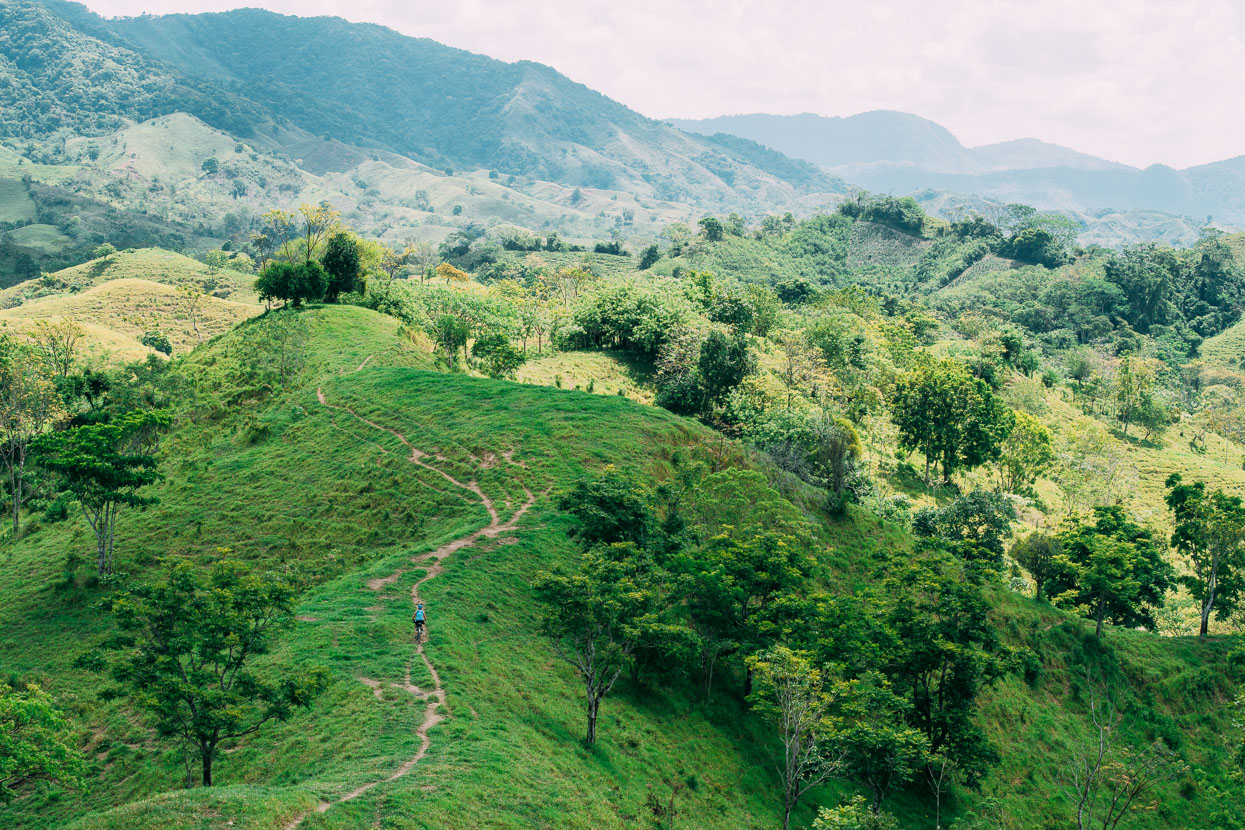
This was a nice rideable stretch, only to then dip into another steep gully, cross a boggy stream and climb back up again. It was great countryside though!
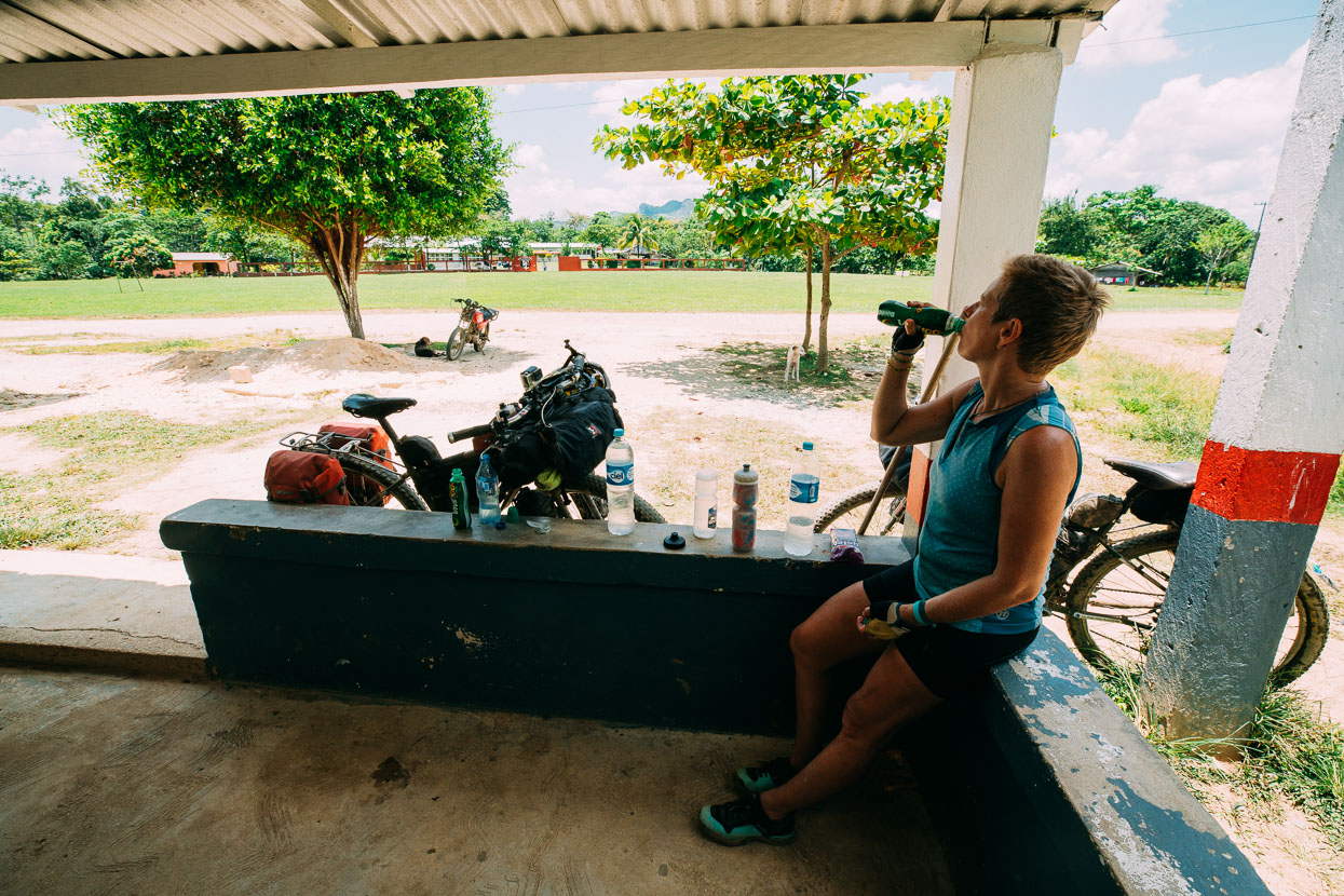
Rehydrating at a small tienda in San Miguel de Allende.
We had another short section of single track (mostly rideable this time) across to Graciano Sanchez, where we picked up a dirt road. Two examples of local engineering below: this style of ‘hingeless gate’ is common – using a pole that pivots in a hole drilled somehow into a flat bit of rock. The bridge is made solely from different sized pipes, with a bitumen layer on top.
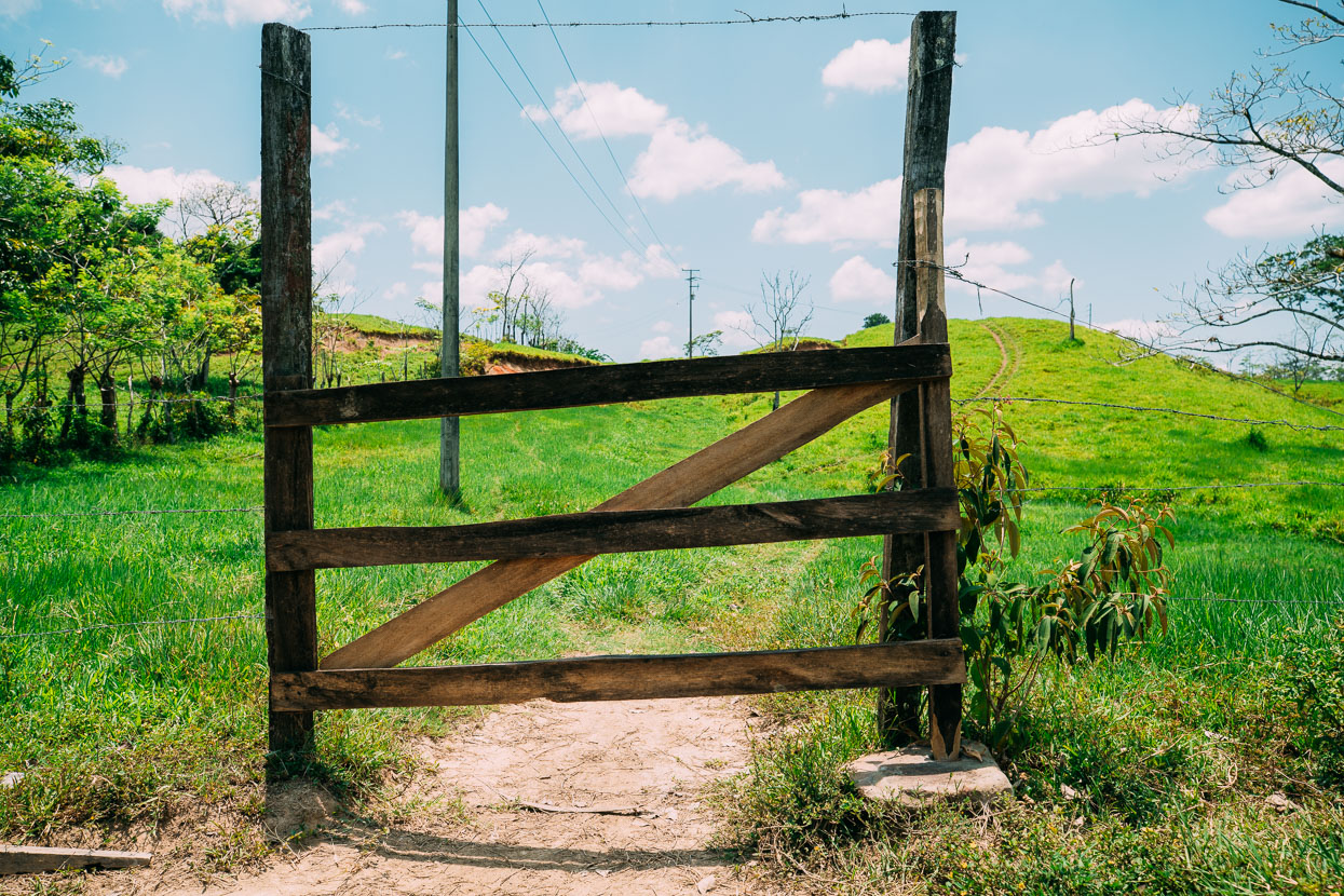
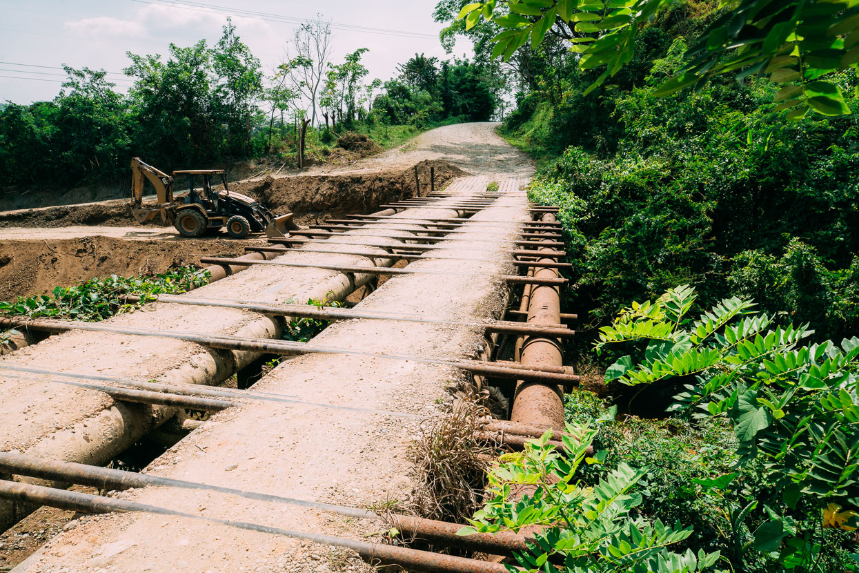
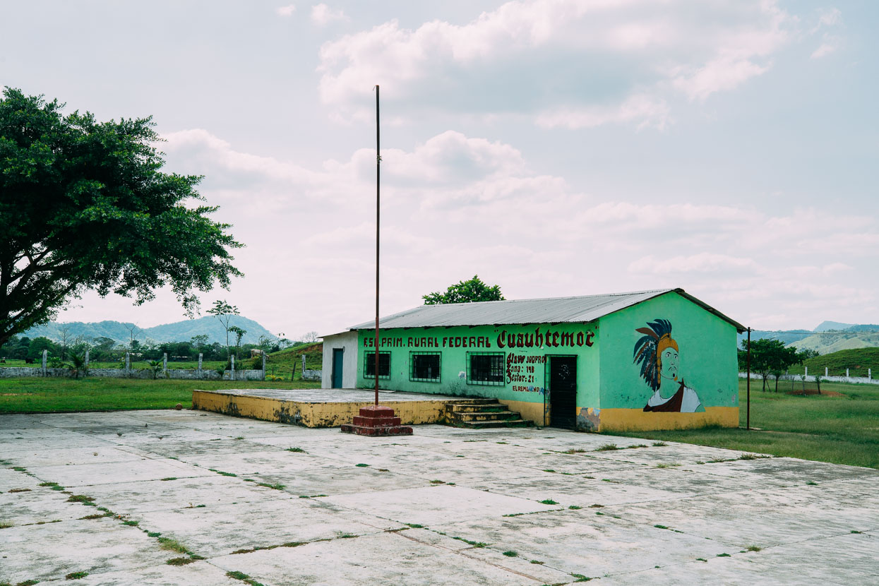
Several small agricultural villages (I think installed by the government) lay along a reasonable dirt road as we headed up-valley towards a pylon track that would lead us over the next range. Cuauhtemoc was the last of the Aztec emperors; in power at the time that the conquistadors reached Mexico city.
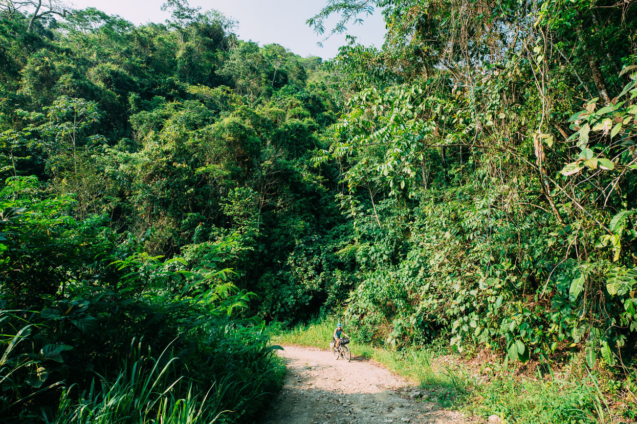
Climbing the narrow, rocky pylon track for several hundred metres – a long hot climb at the end of the day.
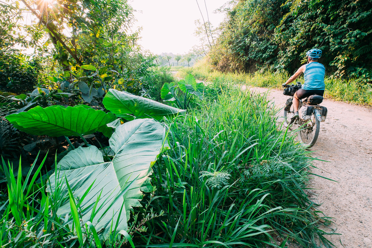
It’s a land of epic flora.
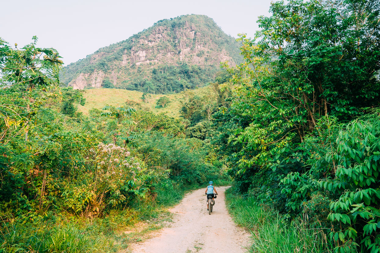
And great landscapes.
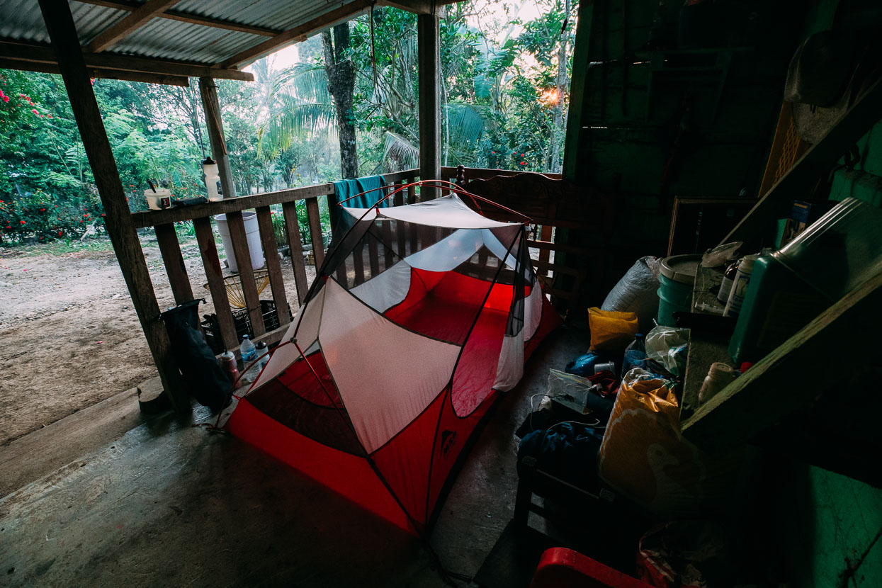
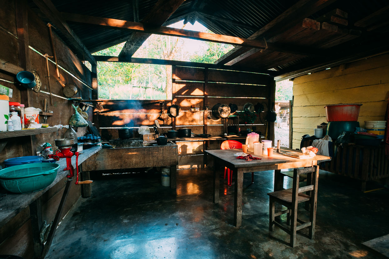
That night we slept on the porch of Carlo and Esmeralda’s simple abode in the village of Nuevo Caleton, a very small government agricultural village. They ran a small tienda from the house and Carlo had led us there on his motorbike after we’d met him on the road and asked about water and camping. Once at the house, they offered us huevos and frijoles for dinner and invited us to stay.
Their house was very simple: just two adjoining shelters, with an open fire for cooking and the ‘upgrade’ of a concrete floor – many we see are dirt.
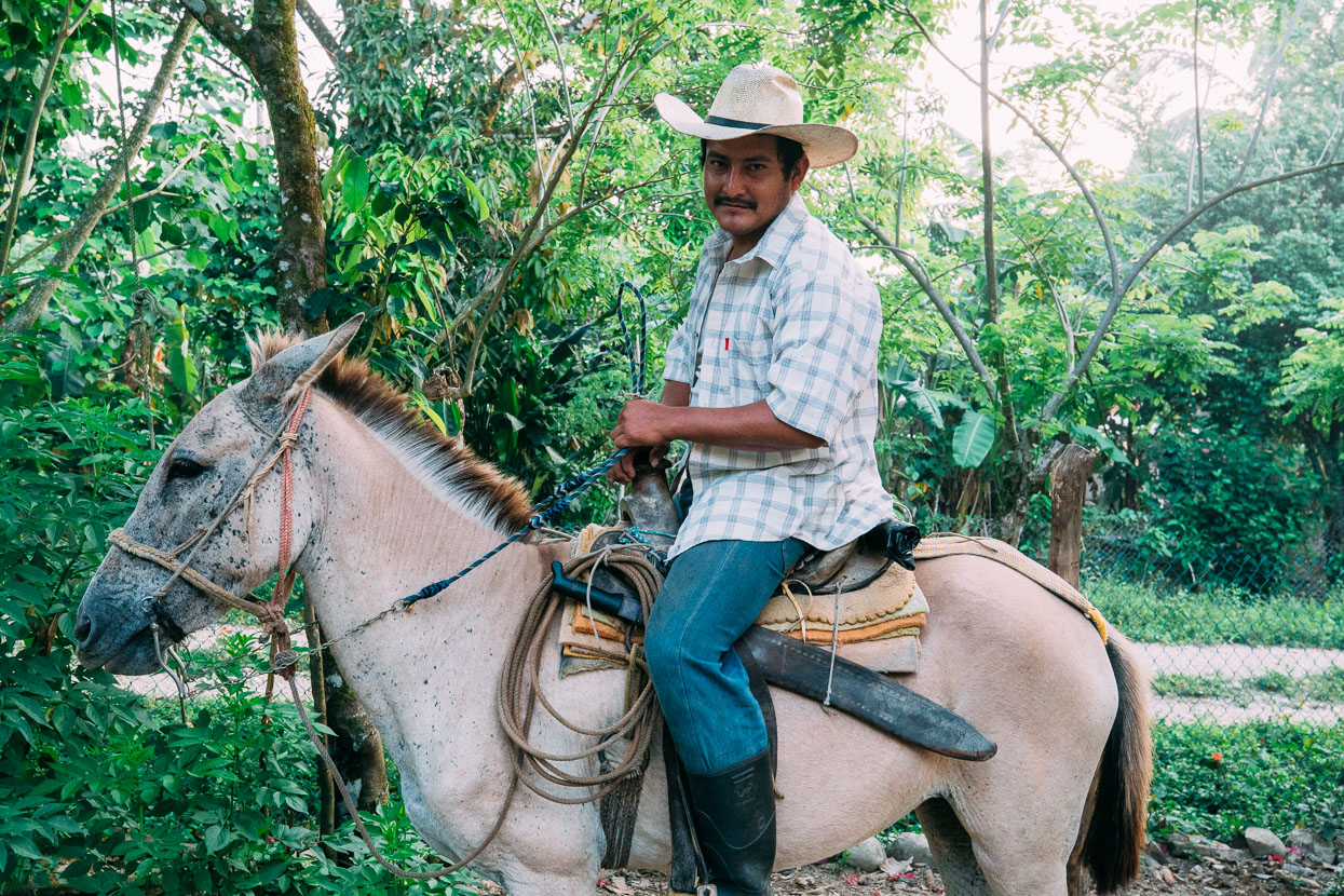
Like many men we have spoken to in rural Mexico, Carlo has been to the USA twice to work and earn money for his family. Without hesitation he tells us of the long bus ride to the ‘frontera’; the stealthy eight hour trek through the Sonoran desert; the rattlesnakes; the heat and the exposure. He made it to Tucson, then LA and finally to Orlando, where he worked as a builder. It was hard at first he says: no money, no English, and the people weren’t great. Despite two visits he still barely speaks any English – certainly less than we do Spanish. After breakfast he mounted his horse and rode off to work on the hillsides of crops for the day.
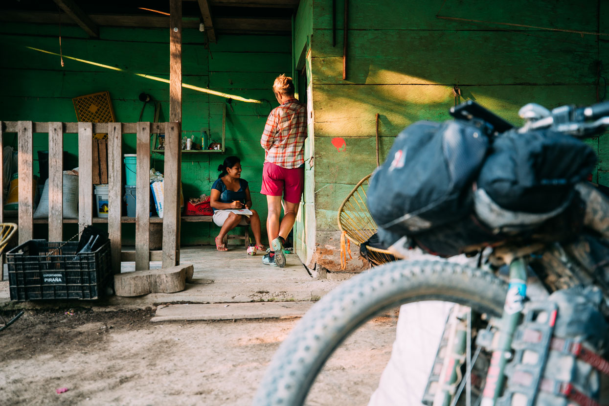
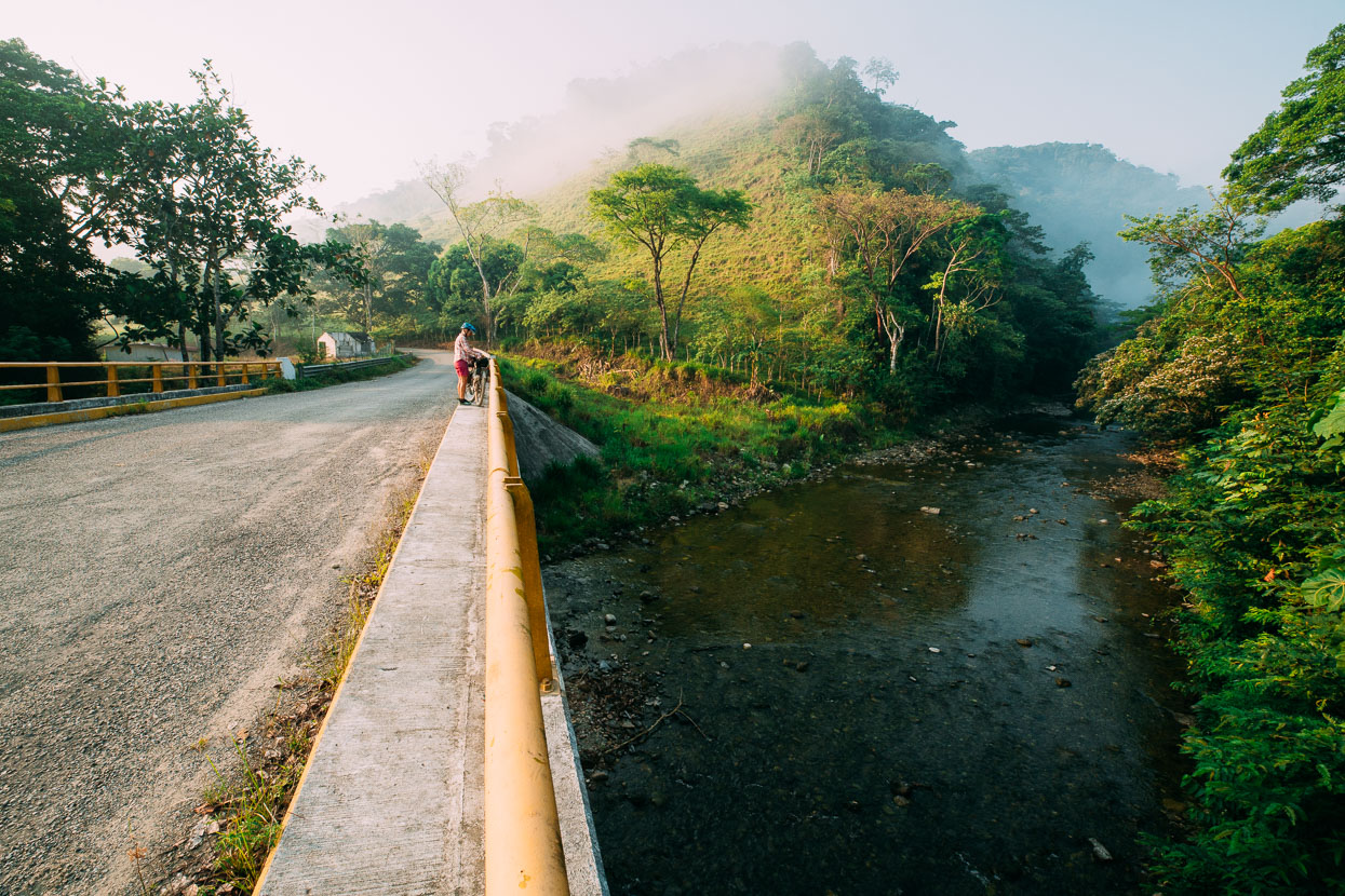
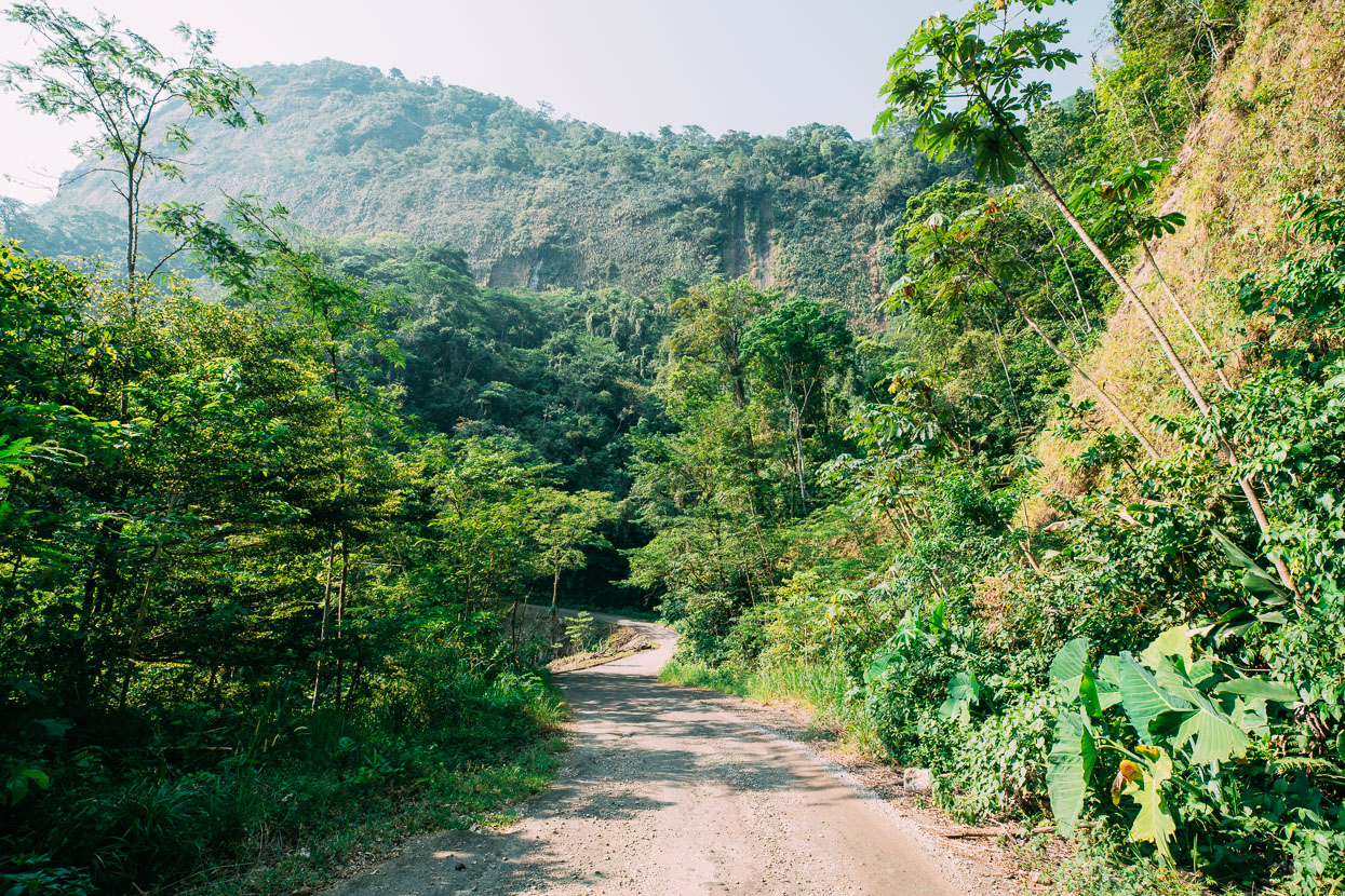
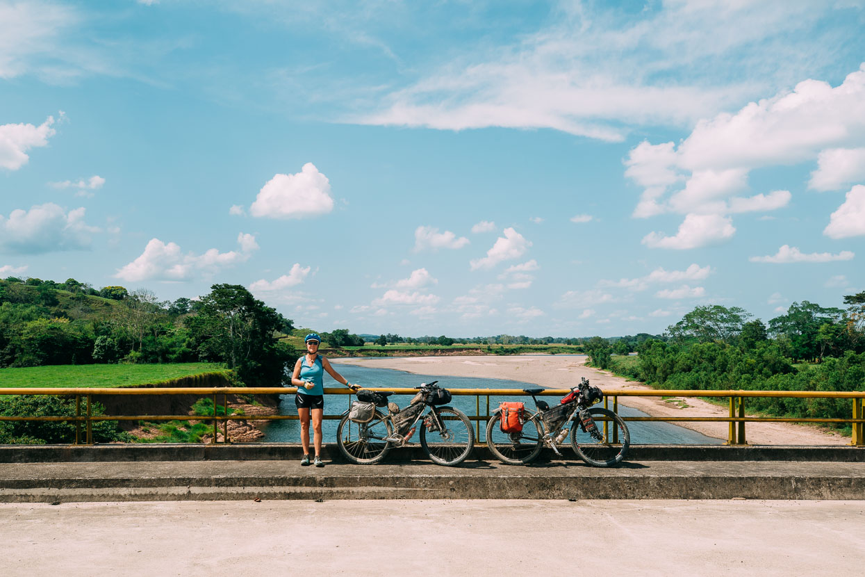
We crossed a bridge shortly after Nuevo Caleton and were in Tabasco state, but only briefly before then entering our final state in Mexico: Chiapas. From here to San Cristobal the road was mostly paved, although most of time traffic was light to almost non-existent. About as good as paved touring can get!
I came down with a stomach bug which meant we made a short day to Romulo Calzada. We hoped to find a hotel there but it was closed until later in the day. A woman from over the road approached us to see if we needed help and ended up inviting us to rest at her house, which later turned into an invitation to stay the night – just another act of amazing generosity from someone who did not have a lot.
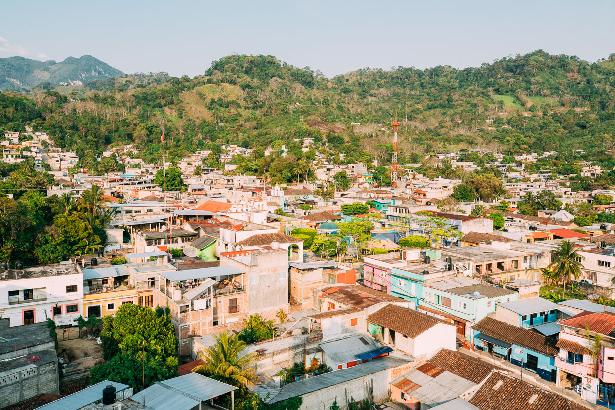
The next day I felt well enough to ride my bike – very slowly – and we did a long day of hills to Tecpatan where we found a comfortable hotel. I was a wreck from riding sick in 38 degree heat and symptomatically no better, so we took the next day off and I hit the bug with some antibiotics. The first either of us have had to take in over 11 months on the road – pretty good going.
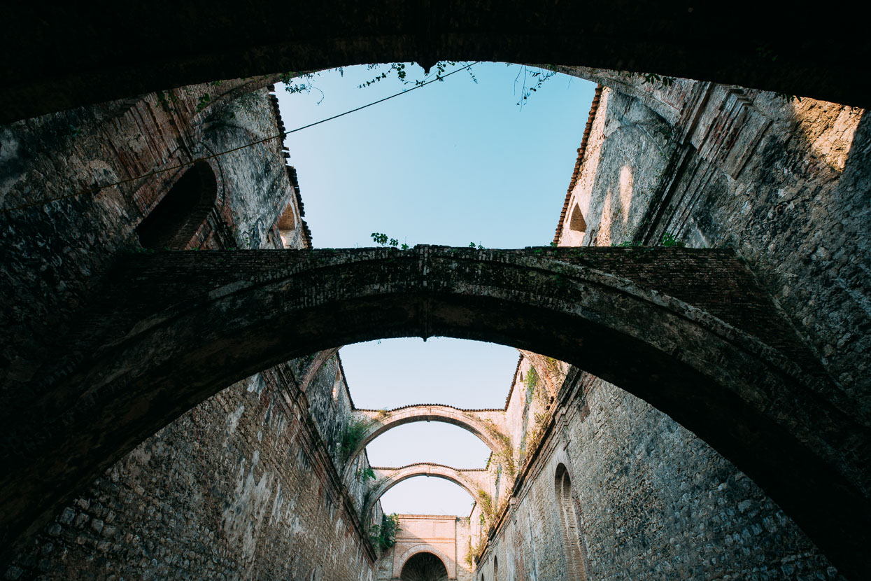
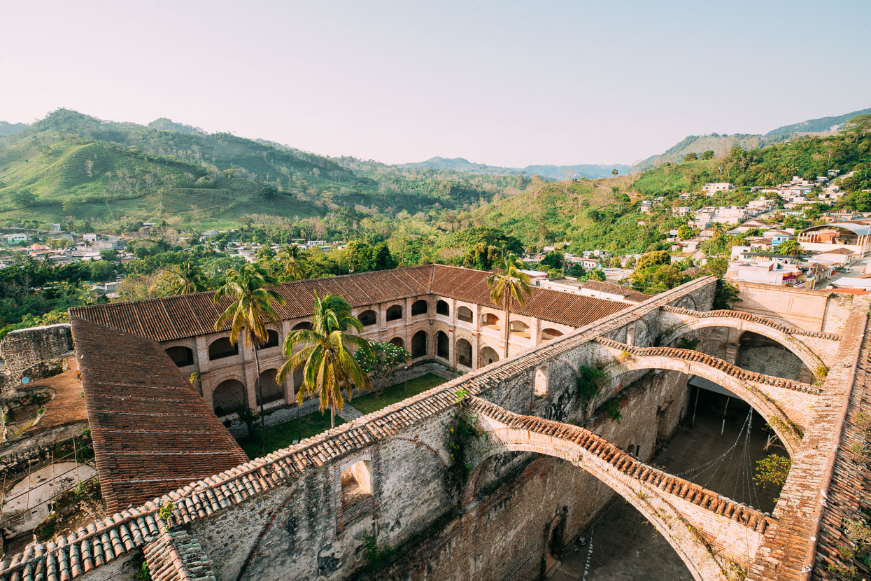
We like surprises and Tecpatan was one such place. After a string of nothing to write home about towns Tecpatan was in a nice location surrounded by lush green hills and dominated by the crumbling edifice of a old church and convent. It was a kind of cow town in the jungle. We got some wifi (at dial-up speed) in a store whose main business was cattle supplies and where trophy python skins hung alongside horse saddles and sacks of animal feed.
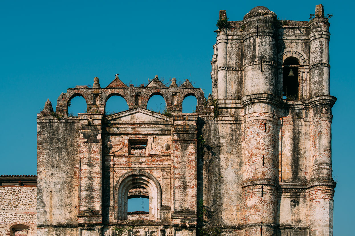
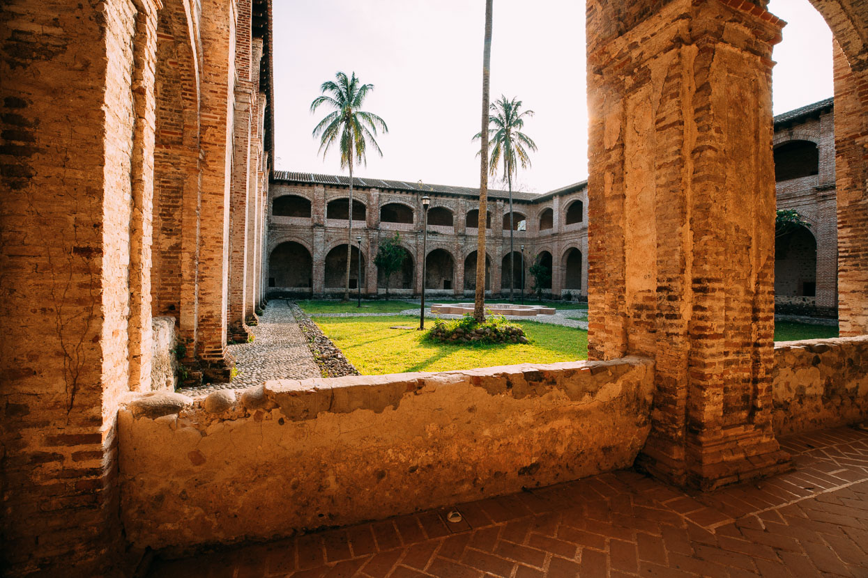
In a burst of late afternoon energy we decided to check out the ruined church. The site was deserted, but after we entered the gate an old man approached us for an ‘entry fee’, but wanted extra dinero when he saw the large camera slung to my side. We haggled to an agreement and then he led us to a dim spiral staircase that led to the roof of the bell tower. An unexpected bonus.
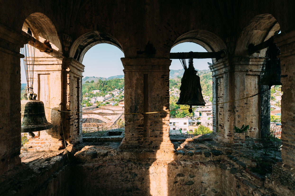
We started up the steps, deeply worn and polished from four centuries of use, and nearly lost our footing when two bats shot past. It was just like the movies. Further up we passed a couple of nests, then the bells and finally onto the roof where we got a great view of town. Well worth 100 pesos.
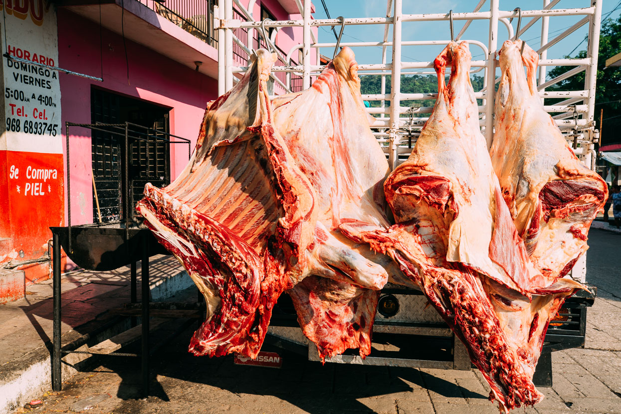
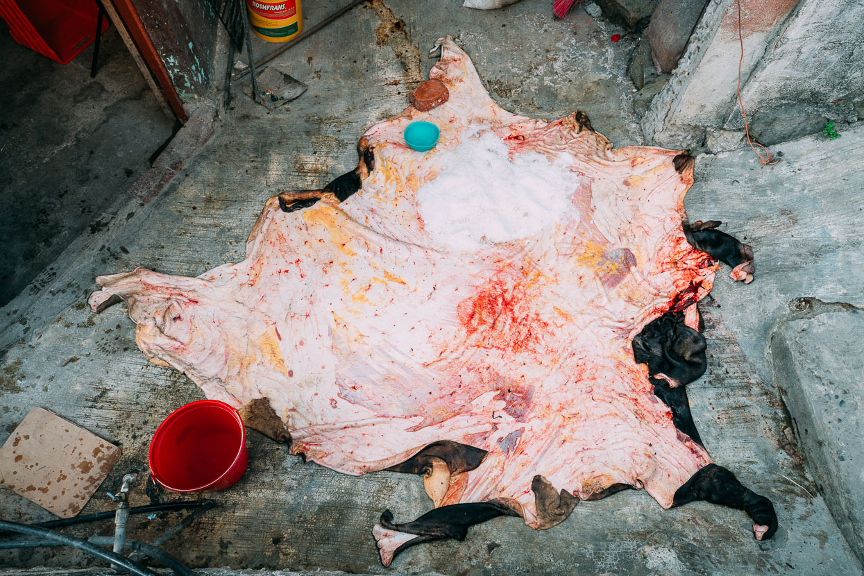
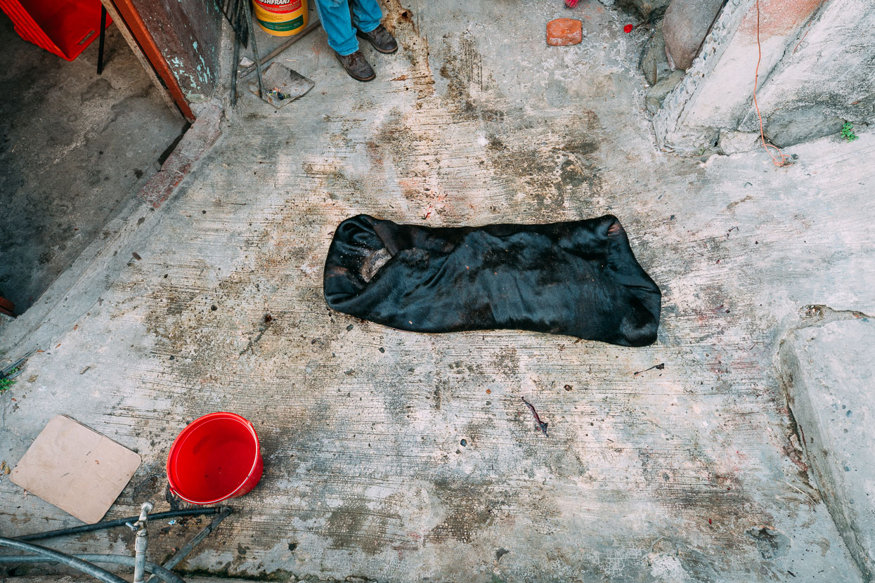
Below, a cow hide is salted and wrapped.
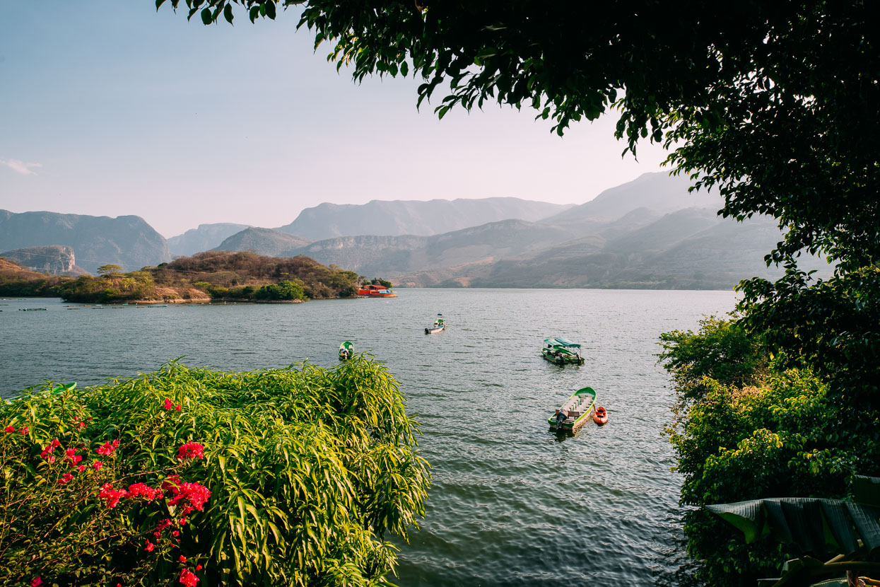
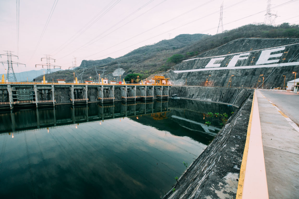
With the highs around 36-38 degrees each day we decided to shift our routine slightly and started getting up at 5am and riding slightly shorter days (5 hours moving time instead of 6–7 hours) to beat the heat a bit. Our next stop was Osumacinta, a small service town for the massive dam that creates the Presa Chicoasén on the Rio Grijalva. It’s this river that flows through the impressive Cañon del Sumidero, the northern end of which we could see from the hotel we stayed in.
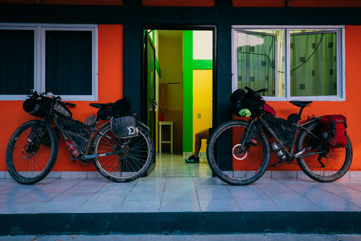
Being a 38 degree day we were stoked to find a hotel, by the reservoir and with a clean swimming pool! The room of course had only half a toilet seat, no shower head and a fan that sounded like a 747 taking off.
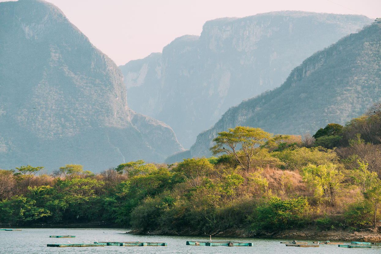
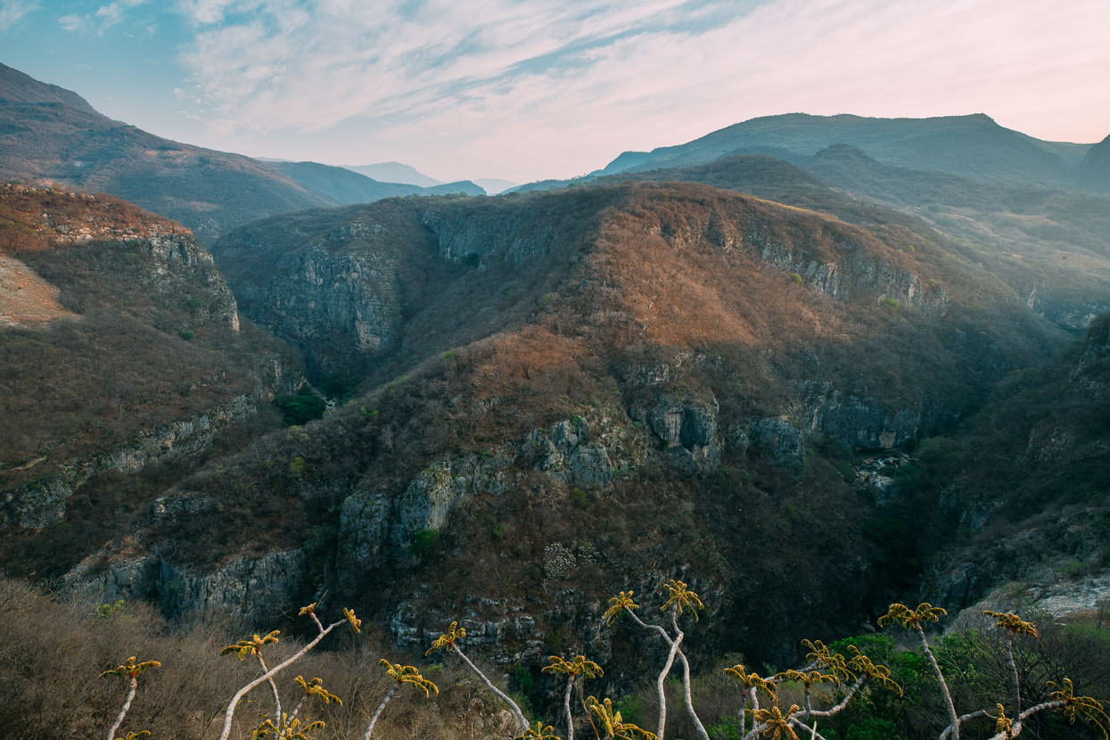
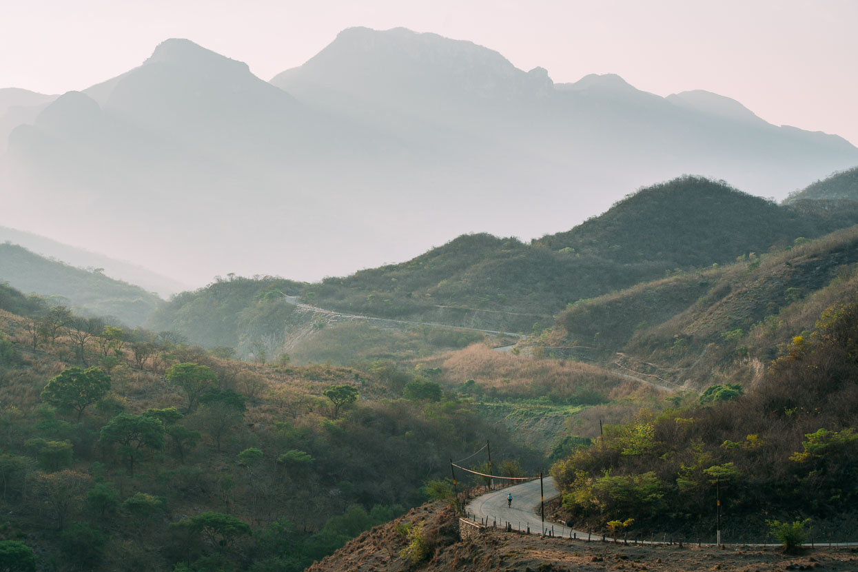
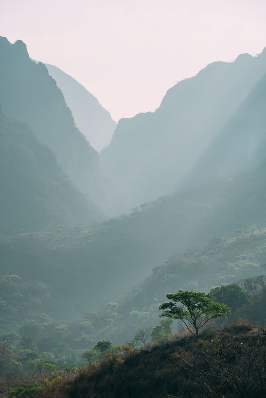
Stunning karst landscape and canyons set the tone for the next day’s riding as we began gaining height gradually towards San Cristobal, back up at 2200 metres.
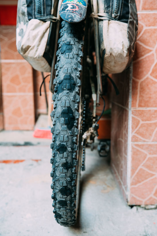
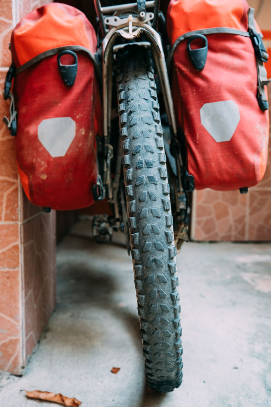
Below, tyres; we’ve had these ones on the bike since San Diego 4.5 months back (6000 km roughly). We run tubeless and love it. You can see the wet spots (small amounts of sealant leaching) on Hana’s back tyre from multiple thorn punctures back when we were in Baja, yet we’ve only had one leak that required a physical plug that whole time. We ran the same set up for the Great Divide and likewise – only had one bad cut that needed plugging (I used a screwdriver tip and piece of string that time) otherwise everything self sealed due to the sealant in the tyres. Some tyres seem more prone to leaching than others – I’m running a Vittoria Goma 2.4 and am only just starting to leach in the sidewalls, but not through thorn holes. Hana’s is a Maxxis Ardent 2.4.
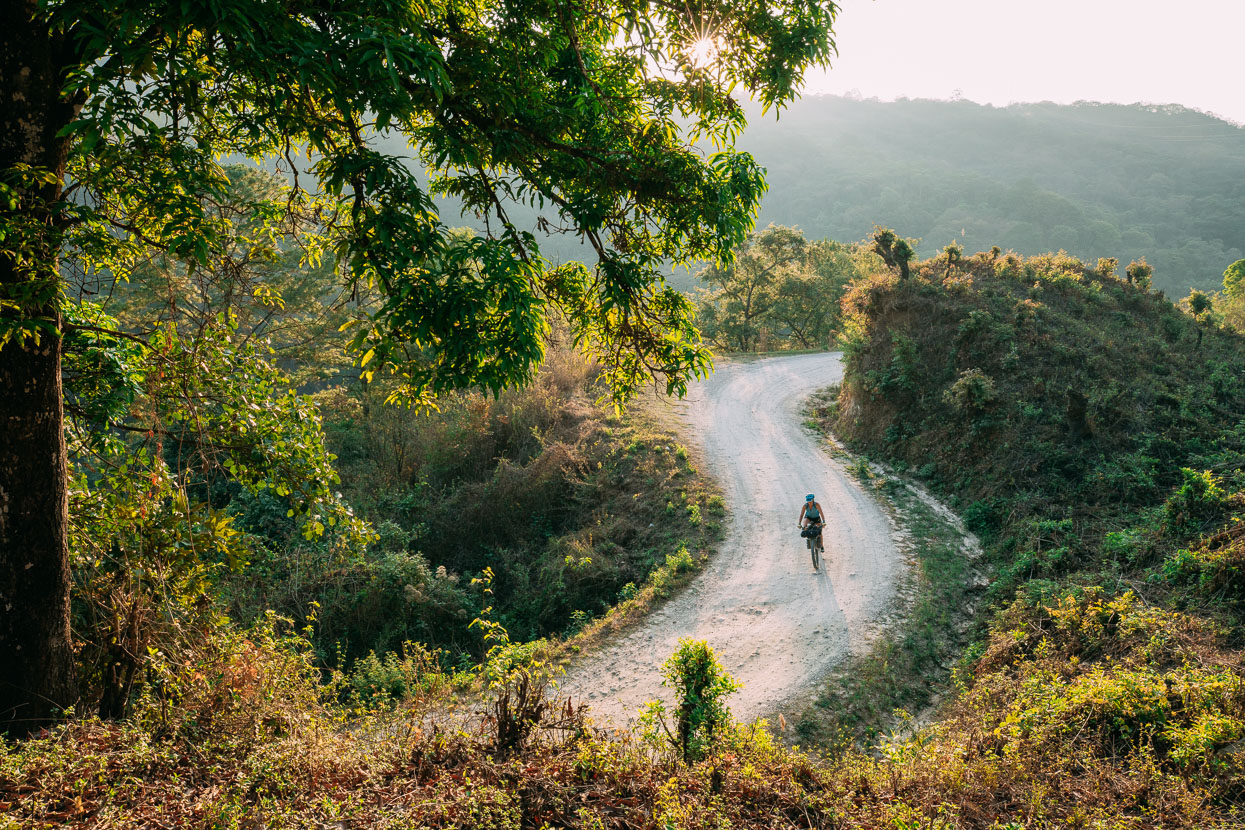
After Ixtapa the round turned back to dirt for a beautiful gradual climb up a narrow gorge, passing through some small Tzotzil (Highland Maya) villages as it climbed towards Zinacantan and San Cristobal. Commercial flower growing is the mainstay of their income.
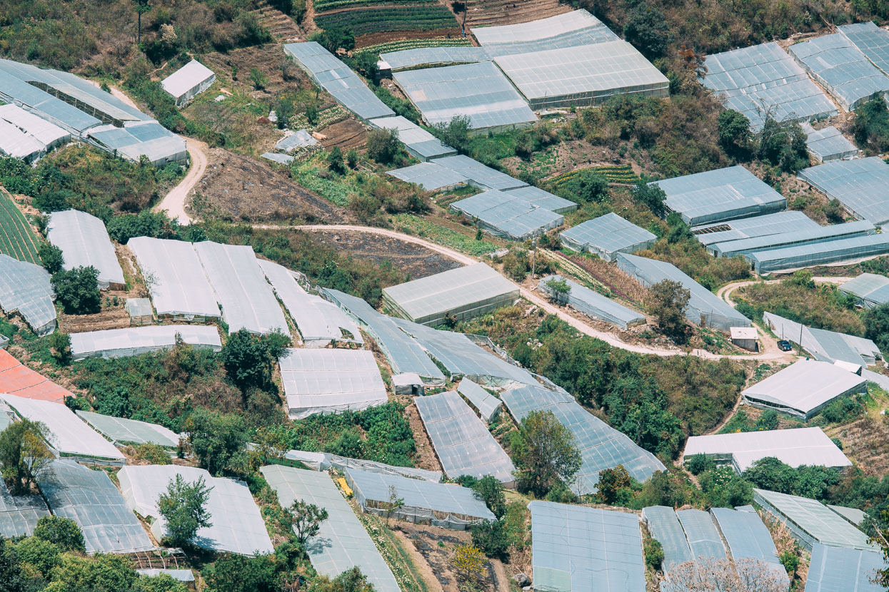
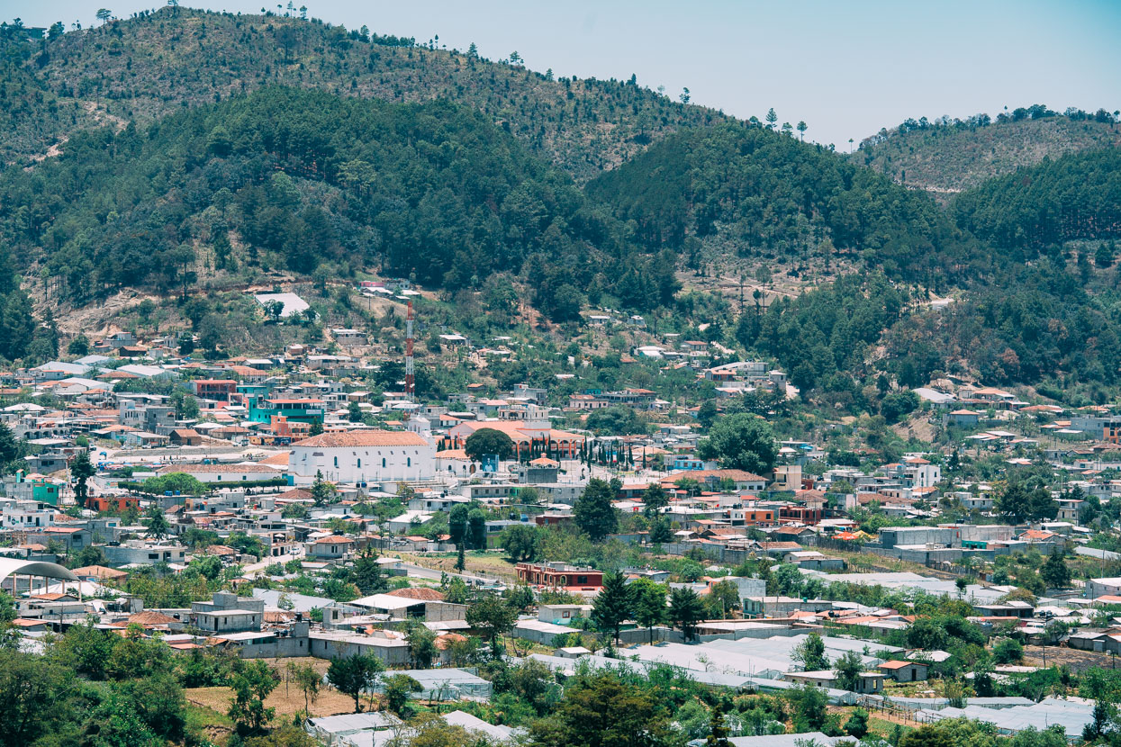
The township of Zinacantan – shortly before San Cristobal. This community is famous for the bright and colourful costumes worn by both men and women and its unique customs and religion which are part animist, part Catholic. Photography is unwelcome here, so no images sadly.
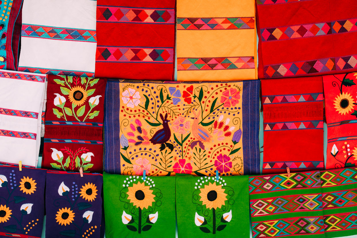
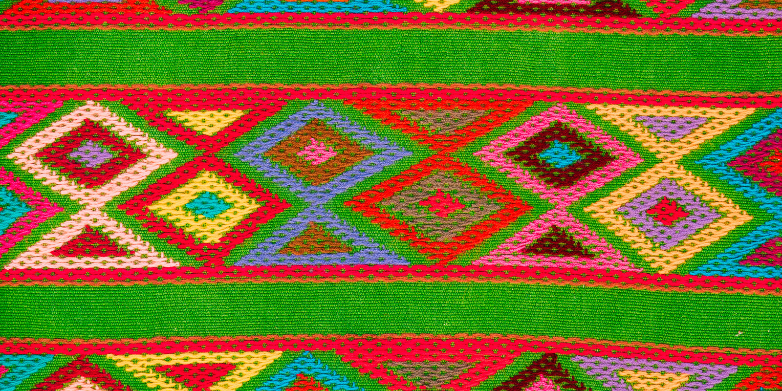
Hand embroidered fabrics outside a Tzotzil home. More images from San Cristobal in the next post.
Thanks to Biomaxa, Revelate Designs, Kathmandu and Pureflow for supporting Alaska to Argentina.

