Sierra Madre de Oaxaca.
Yesterday (April 20) we arrived in the steamy lowlands of southern Oaxaca – a paltry 100 metres above sea level. We’re taking a rest day in Palomares – a small highway town sited about smack in the centre of the isthmus of Tehuantepec. That’s the skinny ‘neck’ of southern Mexico: the country is only 220km wide here.
The past week we have ridden through the remotest part of Mexico we’ve seen yet. Remote is a tricky term to use in these globalised times of efficient travel, Internet and mobile phones. But that’s the best way to describe it. Many households in this mountain region lack basic electrical appliances such as fridges and washing machines. Bathrooms are usually pit toilets and floors are often dirt. Few through-roads connect the region’s villages and many of these tiny pueblos are actually on dead end single lane dirt tracks – which continue as foot or mule trails through deep valleys to the next village. It was one of these trails that allowed us to link together two very memorable sections of road right through the middle of the Sierra Madre de Oaxaca.
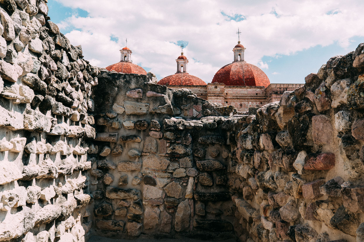
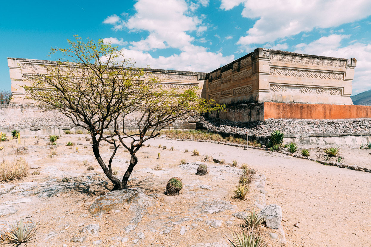
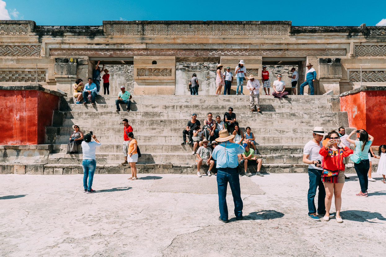
Having both been sick with colds in Oaxaca we decided to keep the milage of our first couple of days a bit lower. We stopped at Mitla on the first night. This low key Pueblo Magico is well known for its Zapotec temple site, the next biggest in the region after Monte Alban which we had visited back in 2010.
What makes Mitla unique among Mesoamerican sites is the intricate mosaic fretwork and geometric designs that cover tombs, panels, friezes and entire walls. These mosaics are made with small, finely cut and polished stone pieces which have been fitted together without the use of mortar. No other site in Mexico has this.
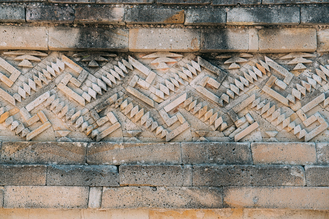
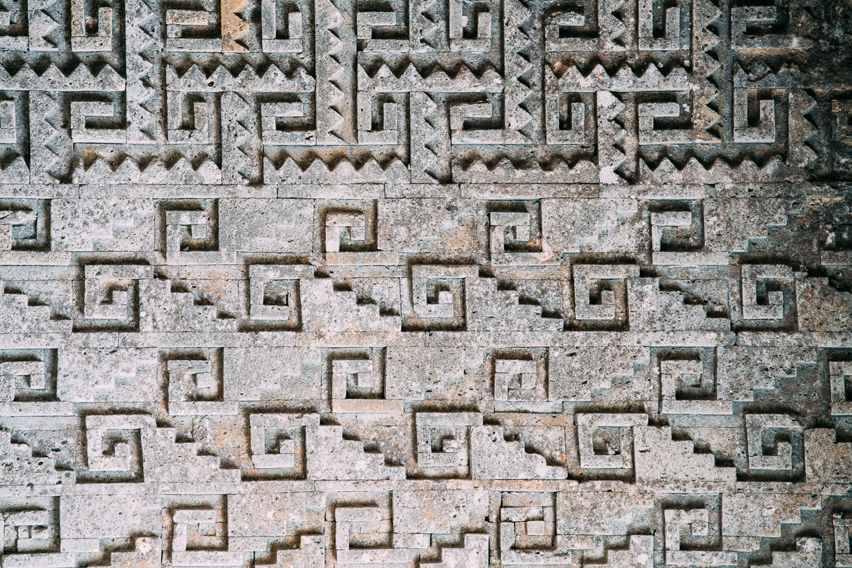
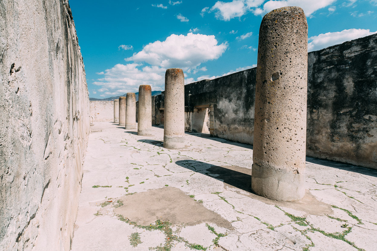
While the main ruins are not very extensive compared with many of the more famous temple sites it’s still well worth a visit to see the architecture and art of an ancient society.
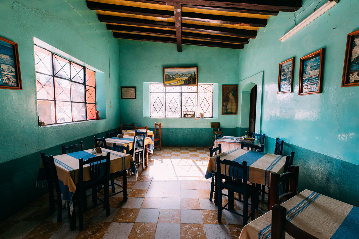
The town itself has a cruisy vibe and a dated, old world feel to it which made a contrast to slowly gentrifying Oaxaca.
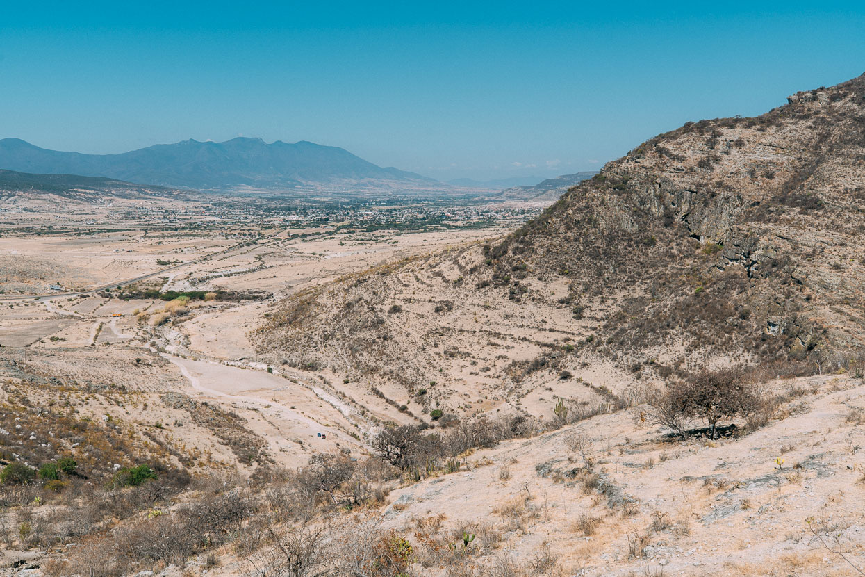
A last view of the parched Valle Central of Oaxaca – with Mitla in the distance – as we started climbing back into the mountains. We didn’t realise this would be our last moment in the arid country that has defined so much of our ride through Mexico.
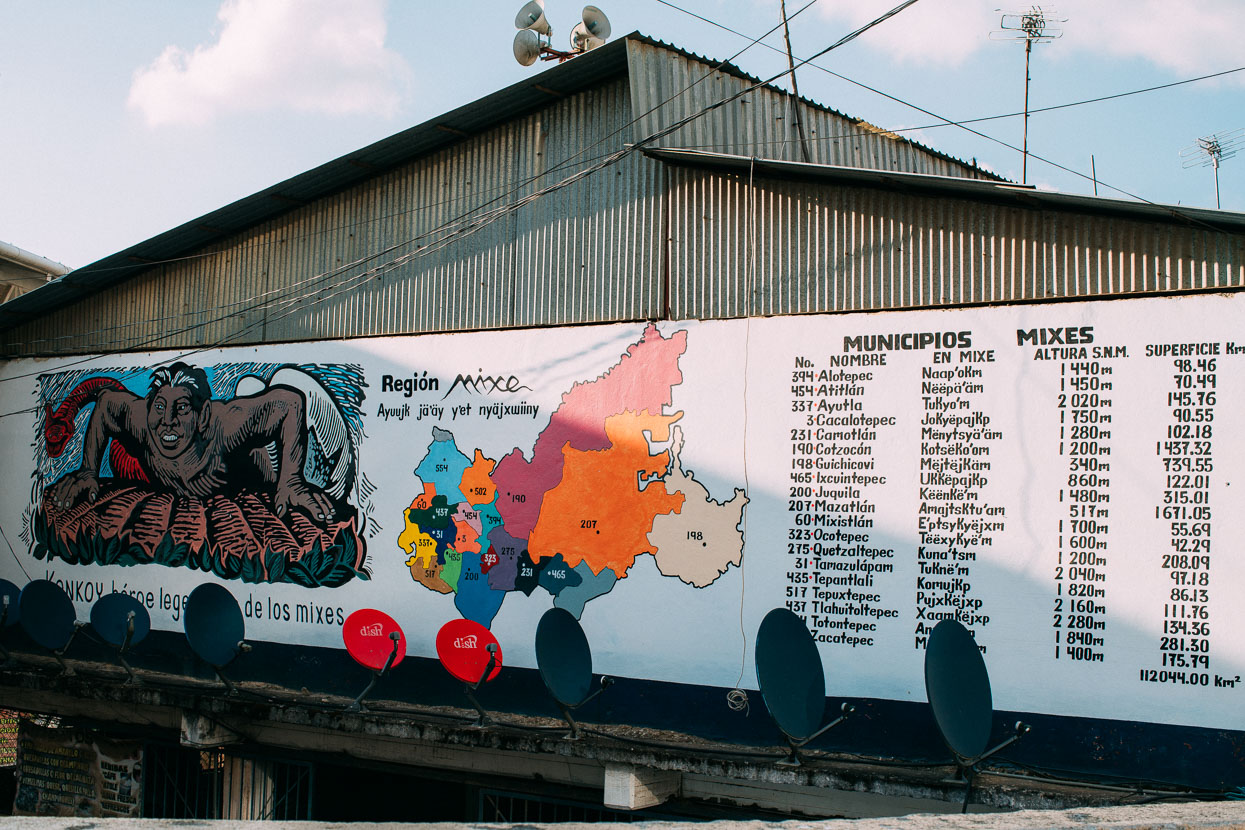
We spent most of the day gradually riding deeper back into the mountains, with a long final climb up to the town of San Pablo Ayutla. We were in Mixe country now (the previous mountain section to Oaxaca had been Mixtec). Mixe are one of the largest indigenous populations in Mexico, but even within that population there are many different dialects of the Mixe language. This panel explains the different municipalities – quite a few of which we rode through.
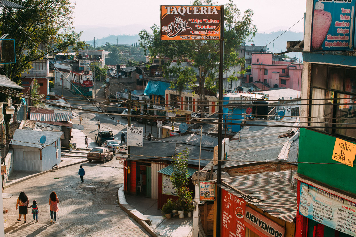
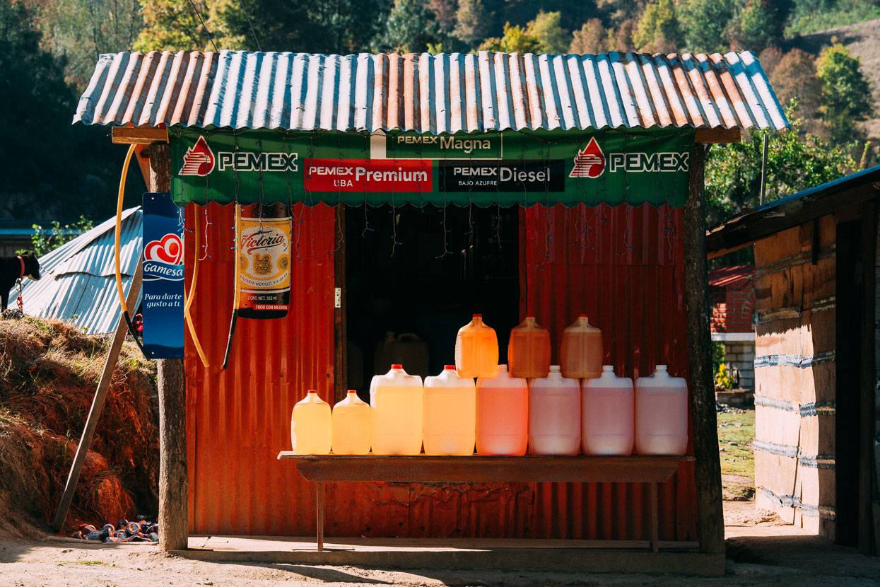
From Ayutla we climbed higher still to 2500 metres on a good paved road through small communities. Our surroundings gradually becoming were more humid, lusher and greener and the gasoline stations fitting for a remoter area.
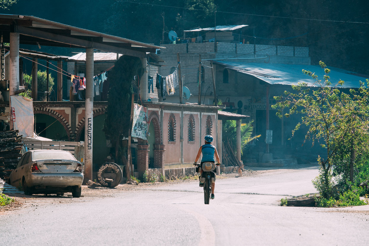
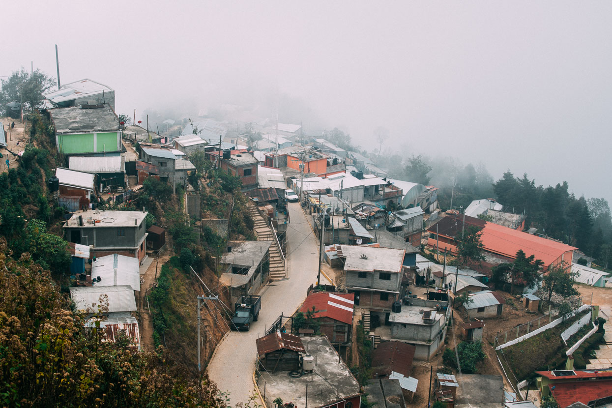
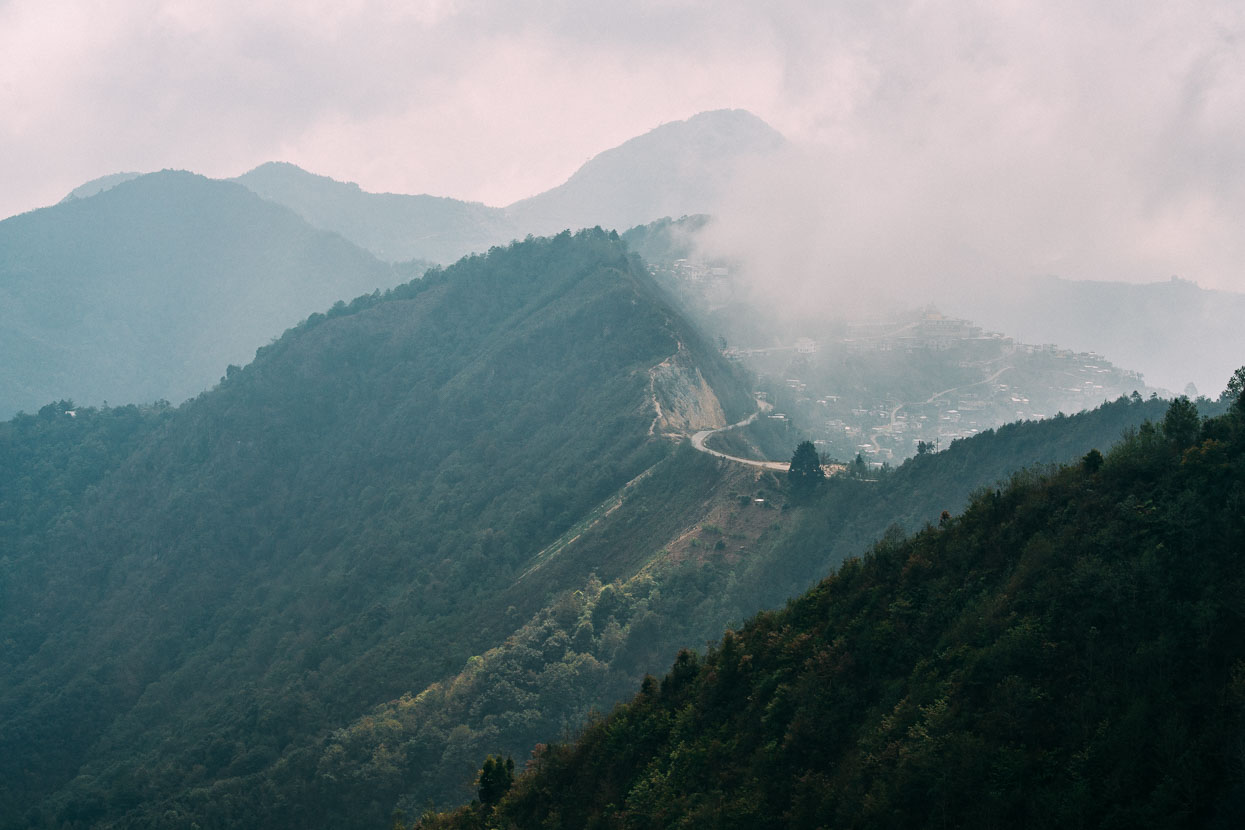
We crested the range and rode high along it for some time, passing villages that were scattered across the steep hillsides. Warm air pushing in from the Pacific coast cools and condenses high on these ranges creating an atmosphere very different to anything else we had experienced in Mexico.
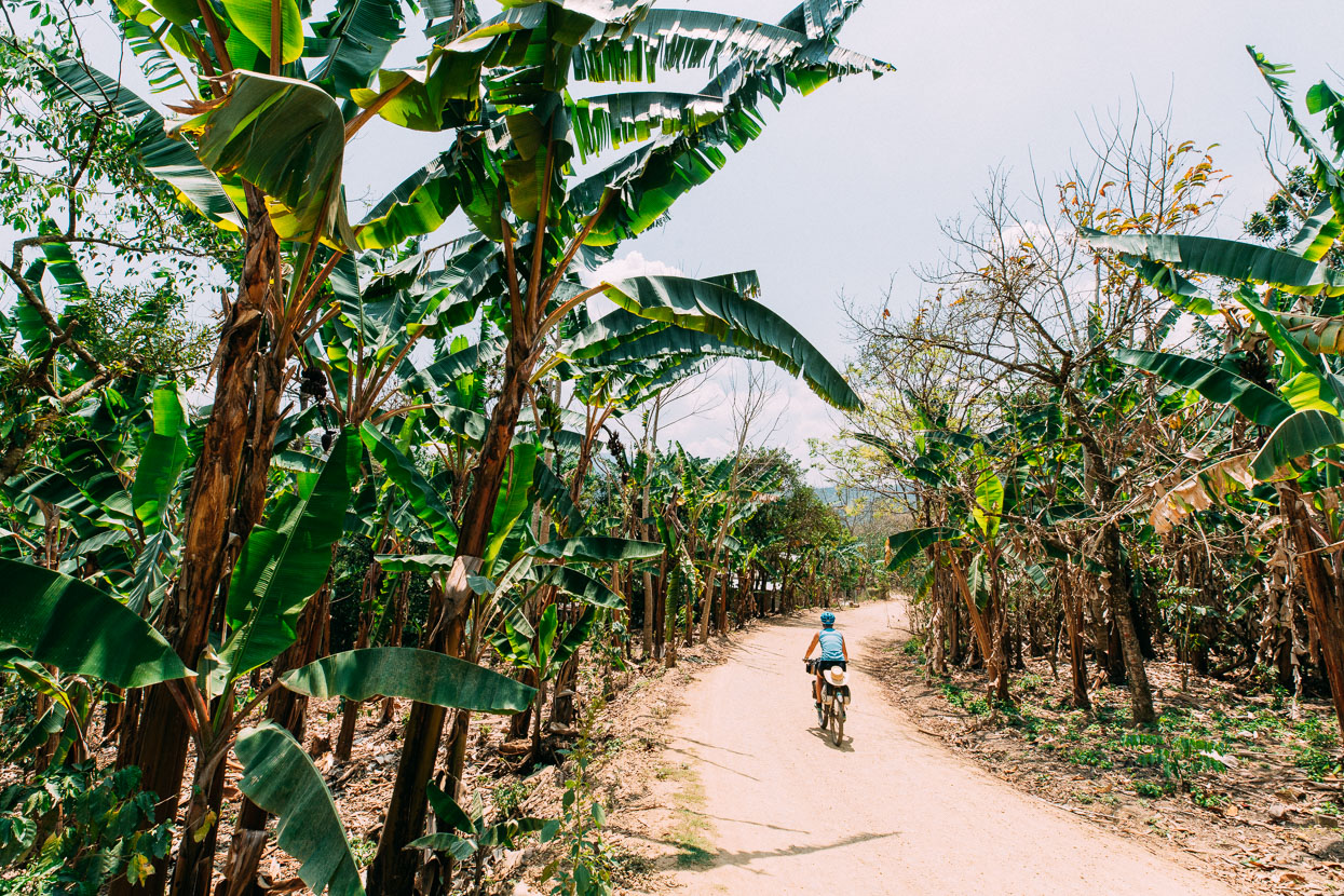
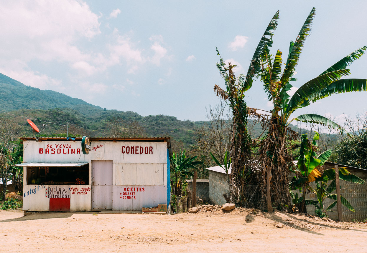
We then coasted downhill for a long time, dropping to a lowly 550 metres. On the way the road narrowed and turned to dirt, the humidity kicked up and the world turned a whole lot greener. Huge blue butterflies cavorted above the road, birds chattered and screeched and the sweat began to run in rivulets down our bare arms.
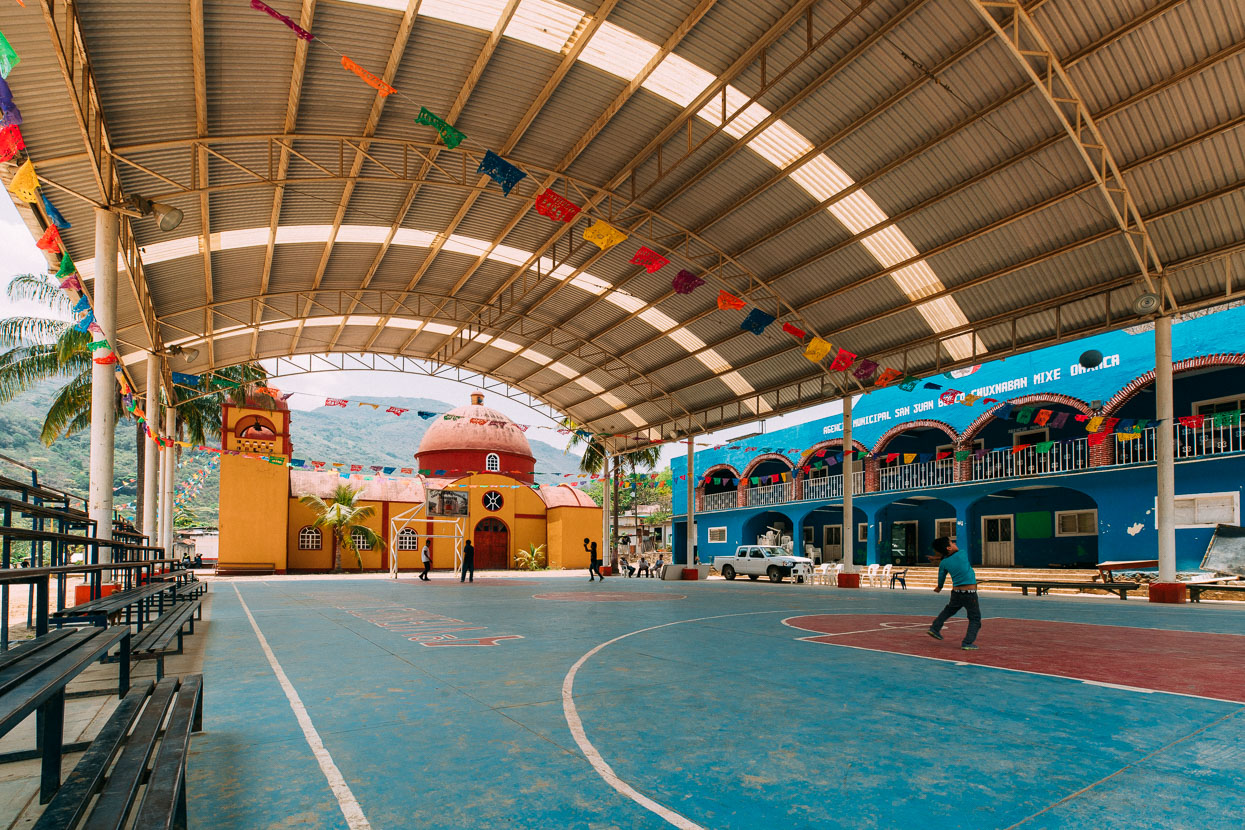
We stopped for lunch in the shade of the community square in Chuxnaban. The locals stared. Men came from municipal offices and stood on the porch to check us out. No one said hello and it all felt slightly awkward. After we’d eaten we walked to a group of people to make a more formal point of introducing ourselves. They were civil and conversational, but no one smiled or asked the usual questions of us. A case of shyness or of strangers not being welcome?
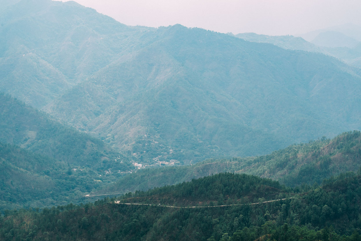
The steep climb from Santa Cruz Condoy back onto the ridge tops.
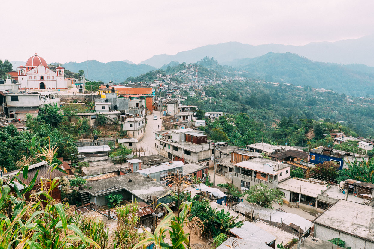
We spent the night in Quetzaltepec. Quite a big town, but with a vibe that made us feel generally uncomfortable. Our first encounter with locals as we rode into town in the late afternoon was with a group of very wasted men on the edge of the street. Joints were being passed around and no doubt a lot of mezcal had been drunk. We were offered weed and ‘other stuff’ which we declined before escaping their intoxicated babbling and riding further into town. Lots of people stared or glared and few smiled or said hello unless we did first. Someone pointed in the direction of a posada which we checked into for the night.
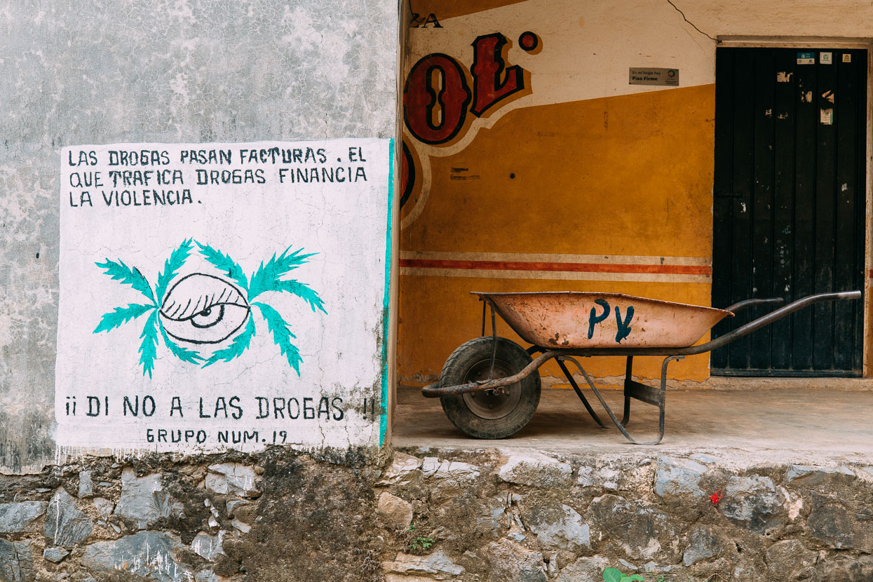
Drugs have a cost: he who traffics drugs finances violence. By the drug warnings posted about we figured there might be cartel problem here. Perhaps people were suspicious of our motives in town: were we there to buy drugs? Why else would two gringos come here? We were likely the first ever cycle tourists to visit this place so perhaps it’s just utter surprise.
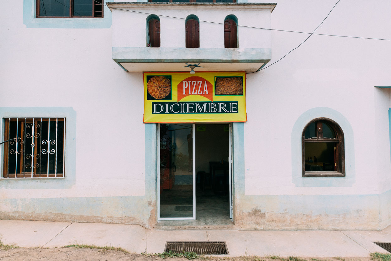
The people in Pizza Diciembre were friendly enough and made us tacos and burgers for dinner. Anyone passing by would double take as they caught sight of us through the window.
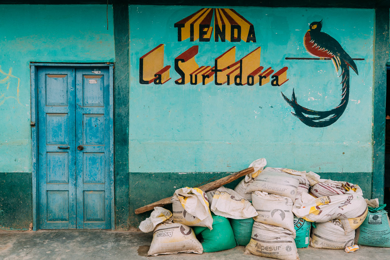
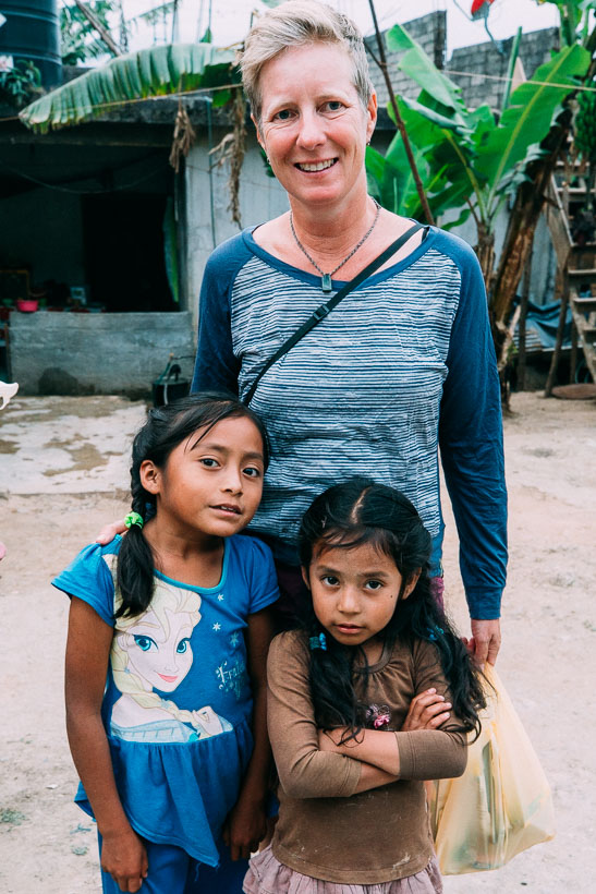
Walking back to the posada two women overcame shyness and we conversed with them for quite a while. Their daughters were fascinated by Hana’s blond hair and light skin. They were also curious about our purchases at the shop, and when we explained it was food for the next day they handed us a small bunch of bananas from a tree in their backyard.
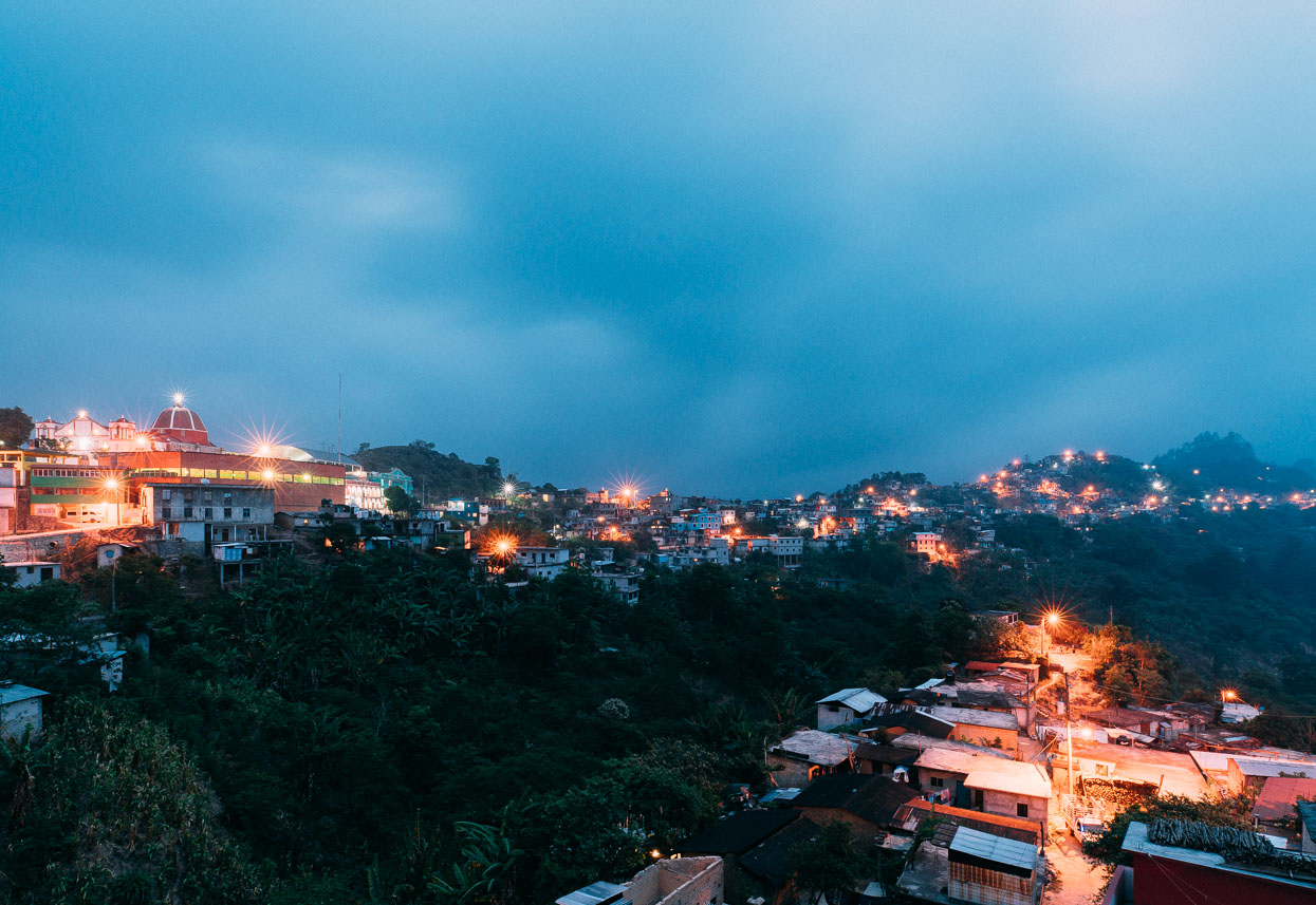
Dawn brought thick cloud and drizzle that cleared away soon after day break.
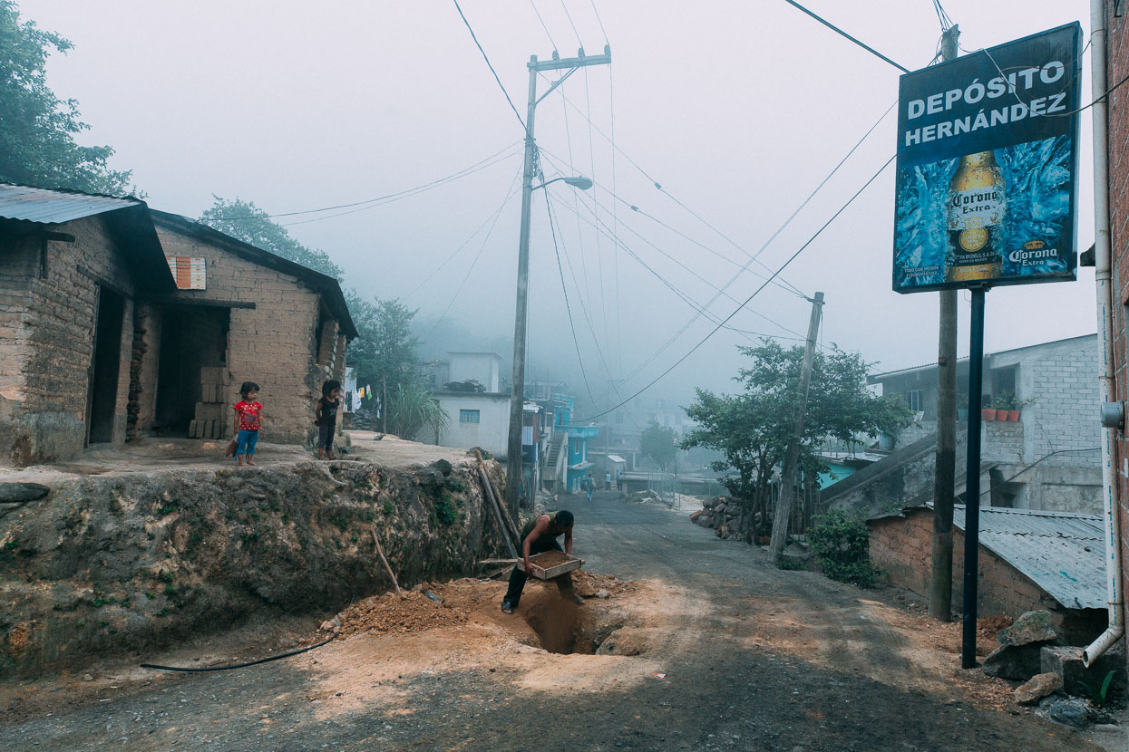
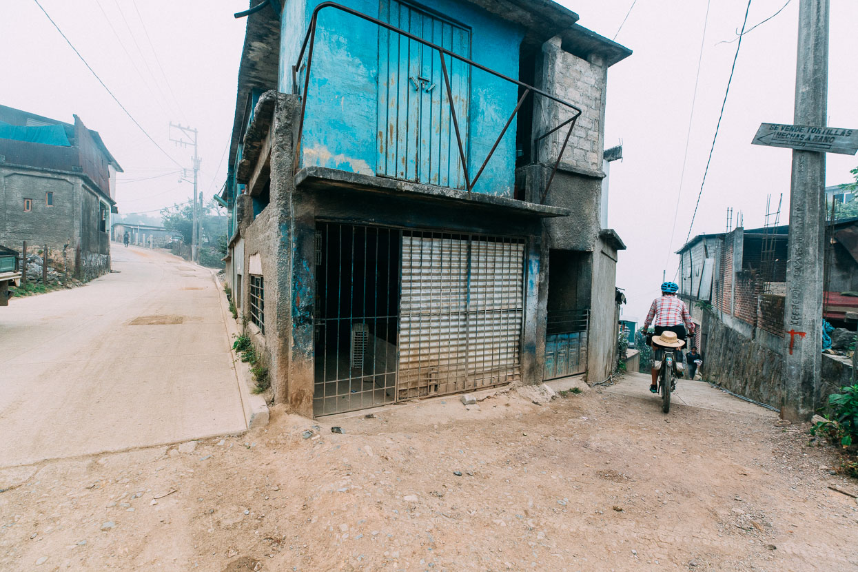
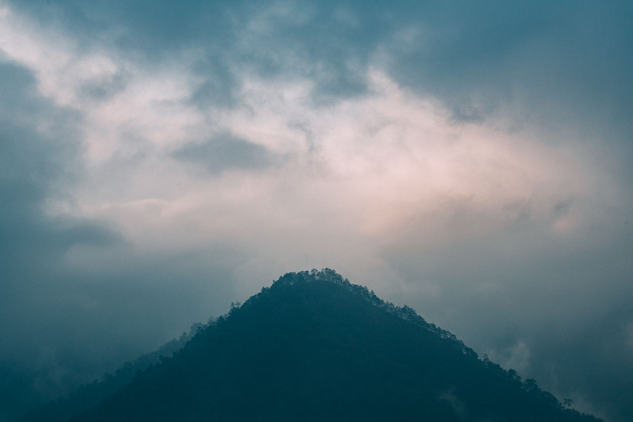
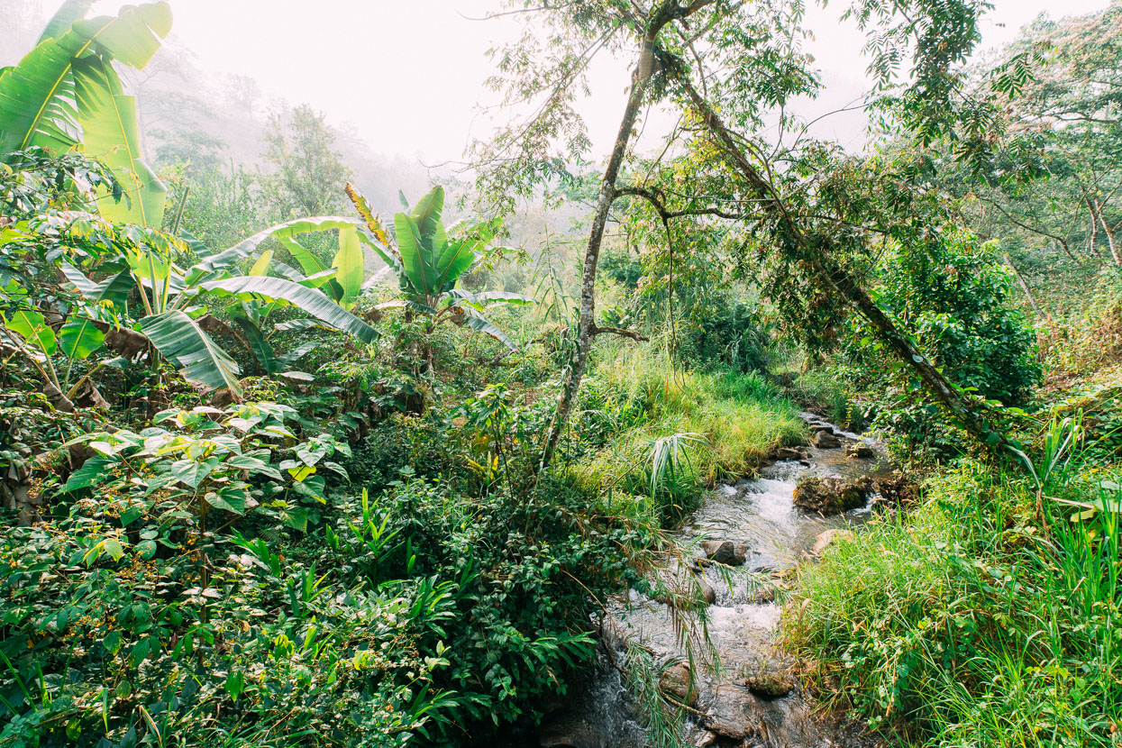
We dropped into a deep valley, intending to ride through to San Pedro Chimaltepec, back up on top of the range. The selva (rainforest) thickened as we descended and cloud hung about the valley sides, increasing the humidity.
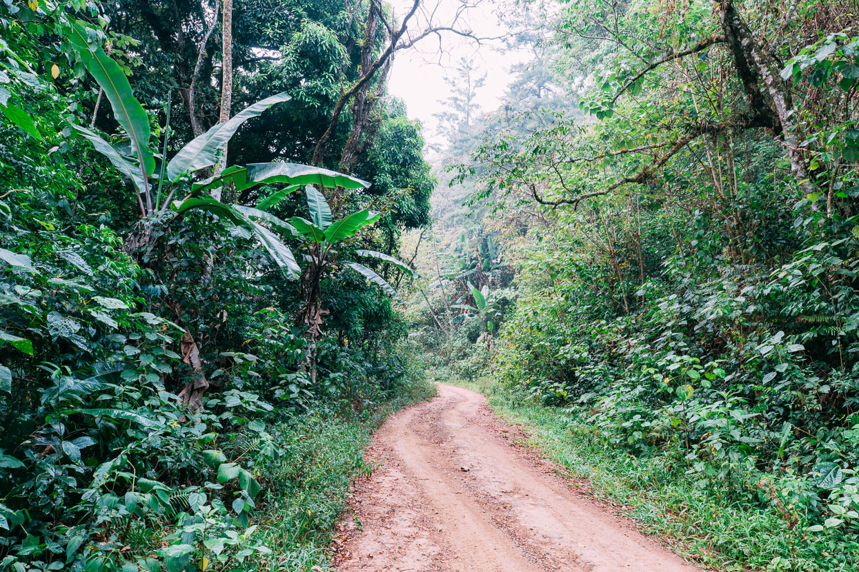
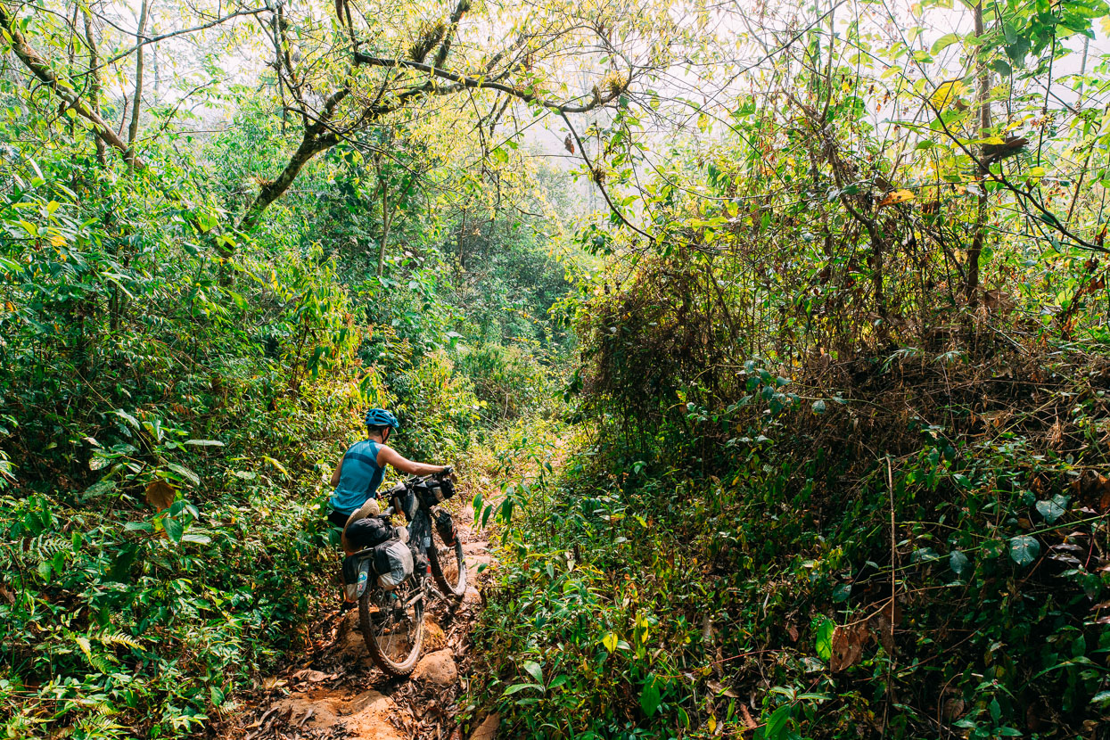
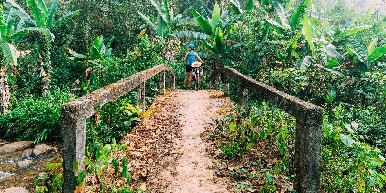
As usual we’d planned our route using Google My Maps in combination with Google Earth but in this instance what we’d thought was a rideable track – and the only linkage between villages – turned out to be a jungle foot trail. We persisted for a while, walking the bikes down a steep and greasy track to the valley floor where it led to a rustic concrete foot bridge over a stream.
We were soaked with sweat. The air hummed with the sounds of thousands of crickets, leaf cutter ants stumbled across the trail with their burdens and the air felt like you could cut it with a knife.
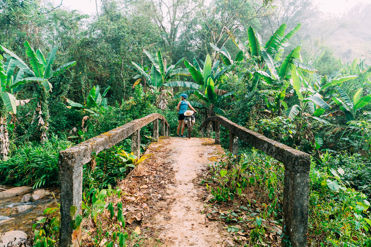
A elderly man and woman appeared behind us. They were carrying large bundles on their backs by means of a strap around their heads – Nepalese style and holding long poles with perforated aluminium pots on the ends. The man had a rifle and a long machete at his side and the woman carried a very large galvanised wash pot – the size of a small bath. They spoke Spanish, so we could converse, and we explained that we wanted to go to Chimaltepec. We asked if the trail was possible with bicycles, but some vigorous shaking of heads followed. The man said it took five hours to walk there (a 900 metre elevation gain) and that it was steep and rough.
It was a relief of sorts when they said that there was ‘another road’, through San Lucas Camotlan to Santiago Ixcuintepec. But it did mean we had to ride all the way back up to Quetzaltepec to get to it. So we pushed our bikes back up the jungle trail to the dirt road and slowly climbed back the way we’d come.
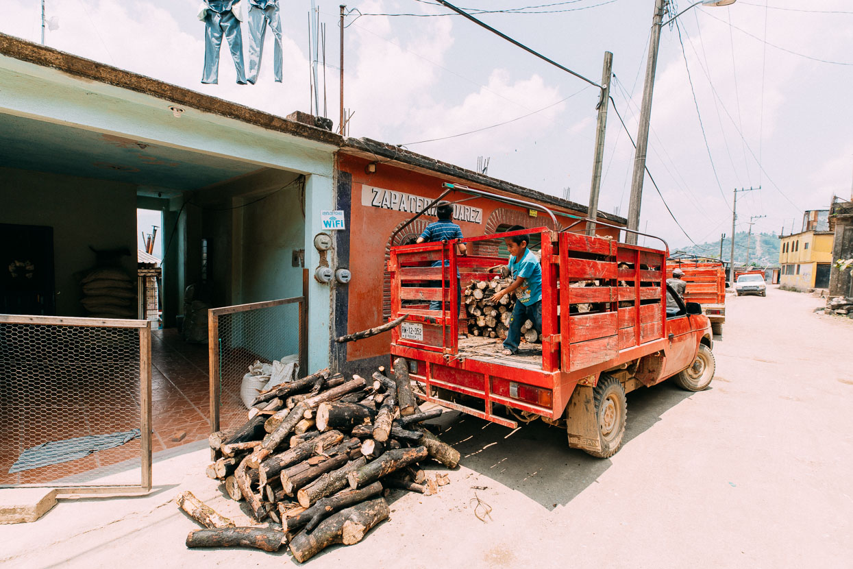
In Quetzaltepec we decided to get on the Internet to check out the road they’d mentioned. Google Maps, nor any of the other open source maps knew of its existence but we could see it on a government state map that we had downloaded a PDF of. On Google Earth it looked as if two roads had gotten close but not joined up – although the photos were from 1984.
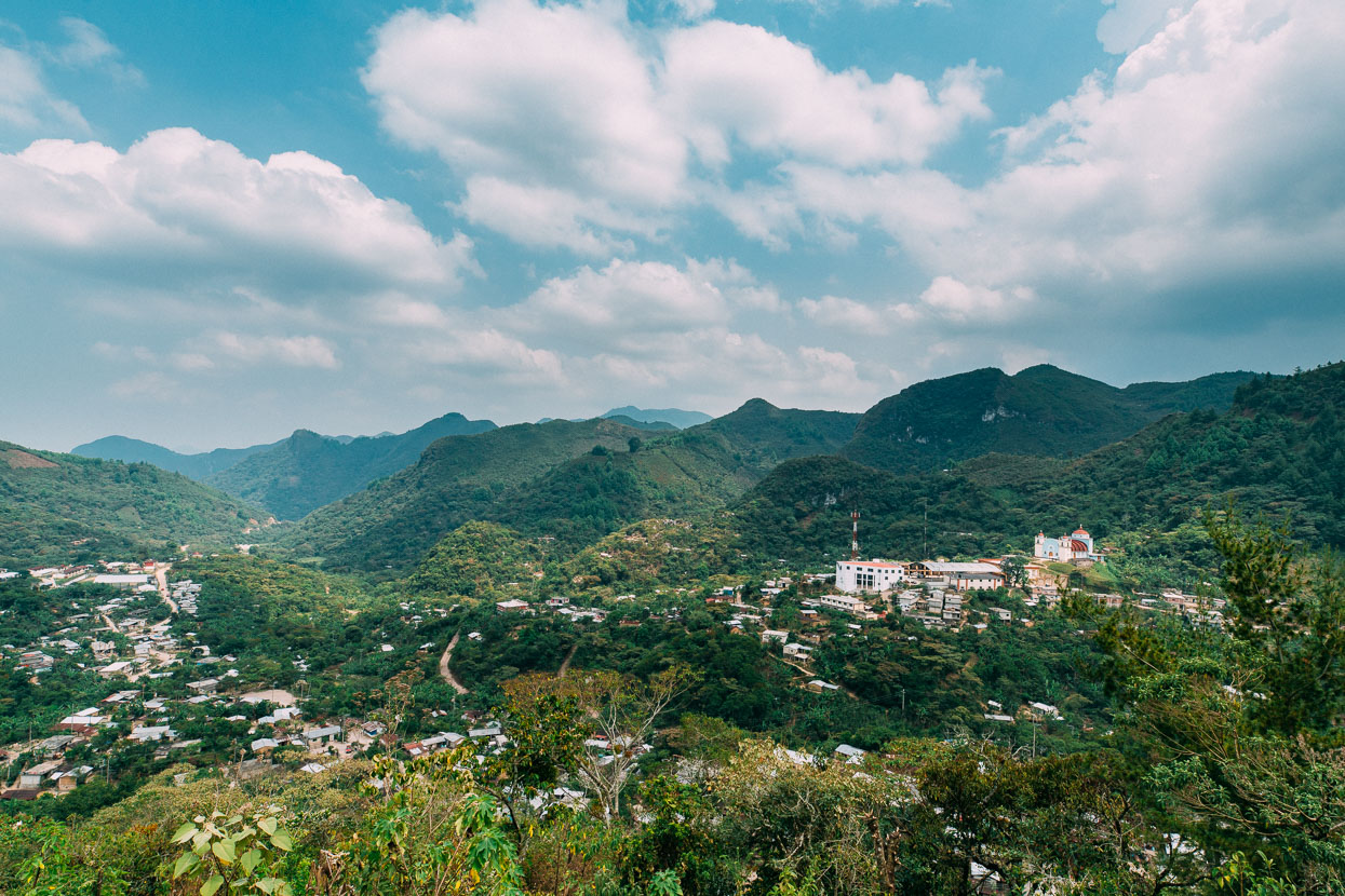
We headed out of town in the afternoon heat and followed a rolling dirt road through to Camotlan which was a set in a stunning location amid a karst landscape thickly covered in forest. We didn’t stop except to buy some water and check directions. We collected lots of stares as we rode through this isolated haven in the mountains but the people were friendly and helpful when we asked questions.
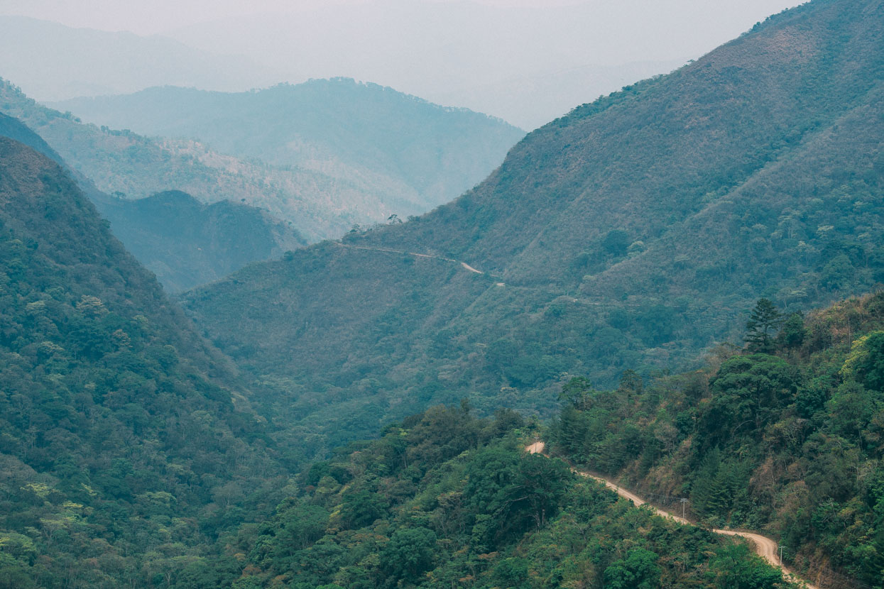
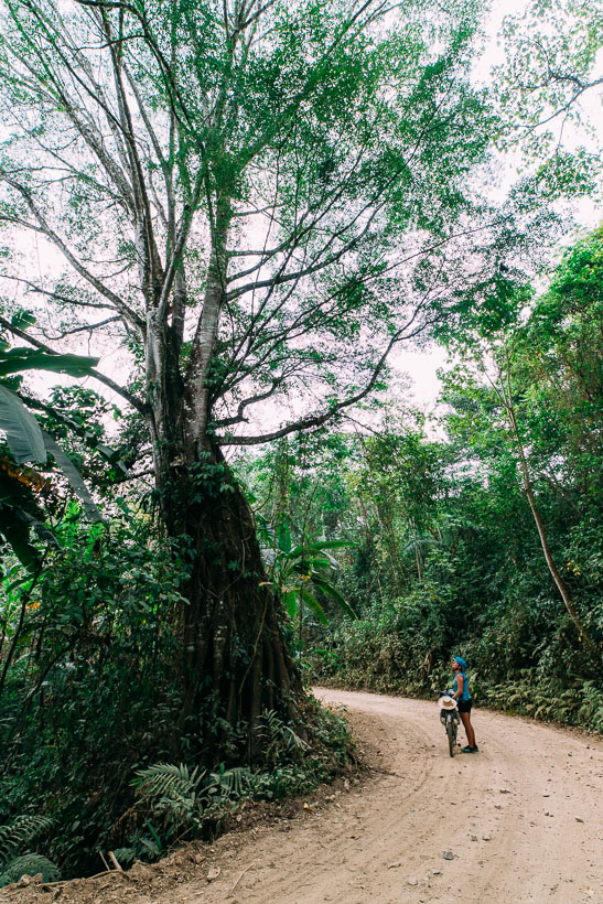
The road led us out of the basin of Camotlan and into canyon country as the road wove in and out of thickly vegetated gullies. We passed a group of policemen washing and doing their laundry at a waterfall, all the while their sub machine guns slung over their shoulders. We smile, wave and say hi to the police when we see them, they have always been friendly.
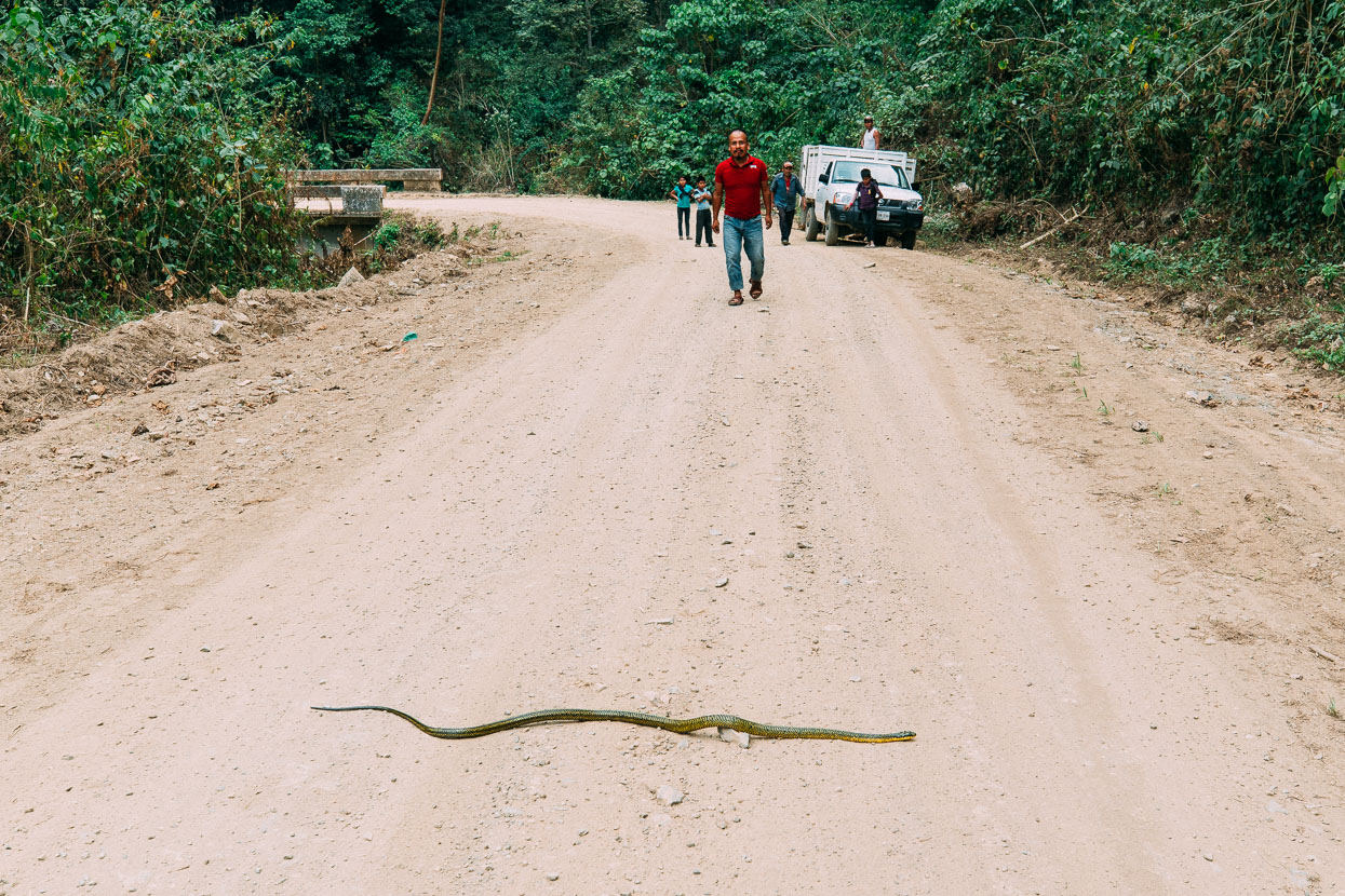
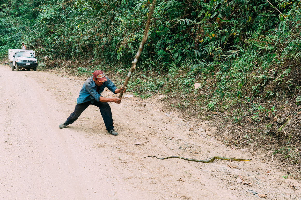
We rounded one bend to see a large green and yellow snake headed across the road. Unfortunately a group of villagers collecting firewood saw it too, and killed it right before us. I hoped it might be for food, but from their perspective it’s simply peligroso: a dangerous pest best disposed of.
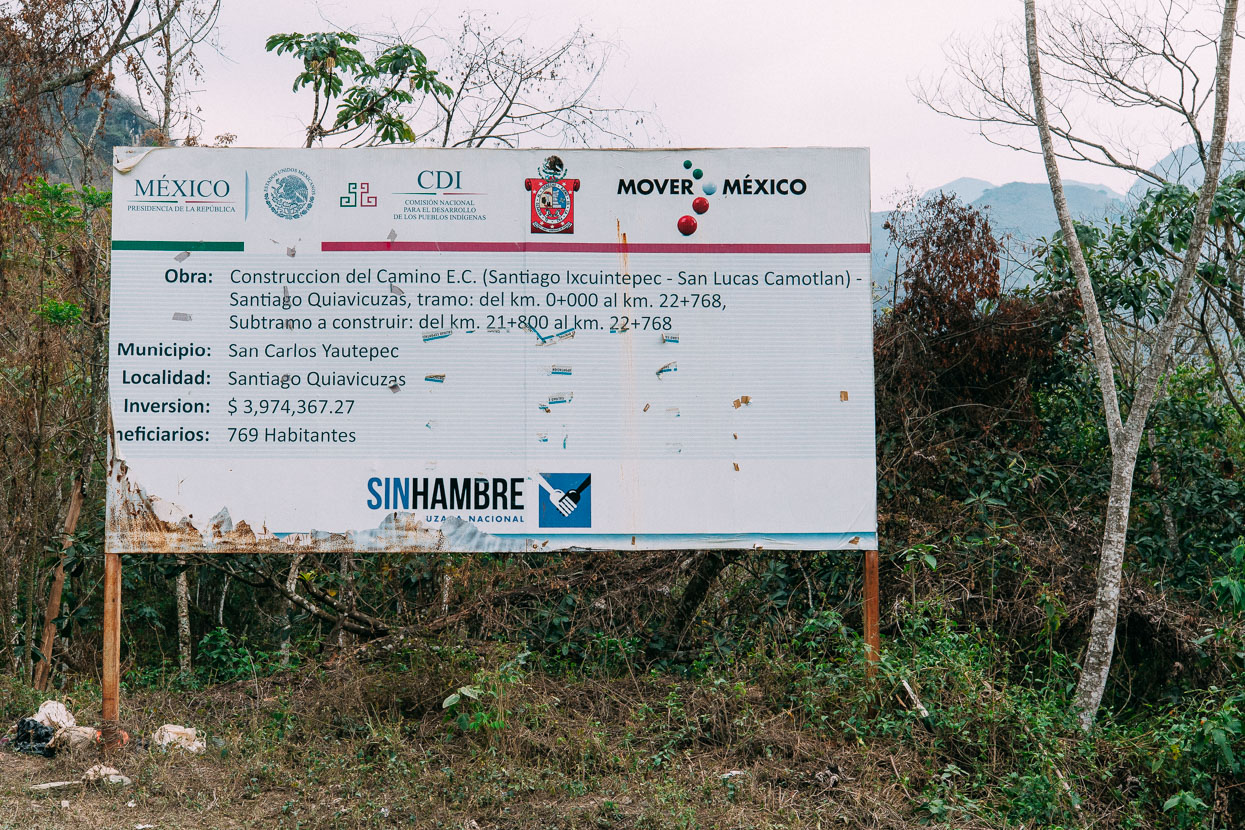
Sin Hambre: Without Hunger. Road improvement in this region has meant it’s easier for state supplies to reach remote villages.
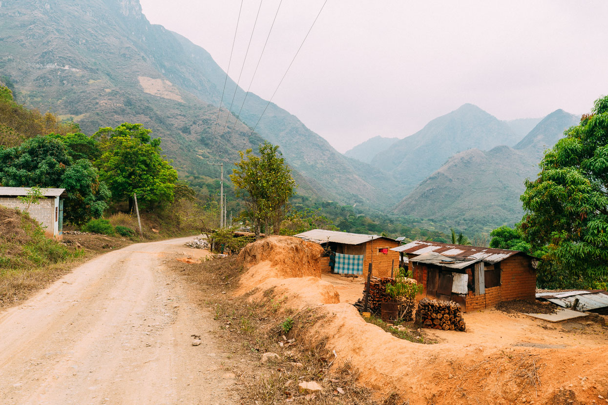
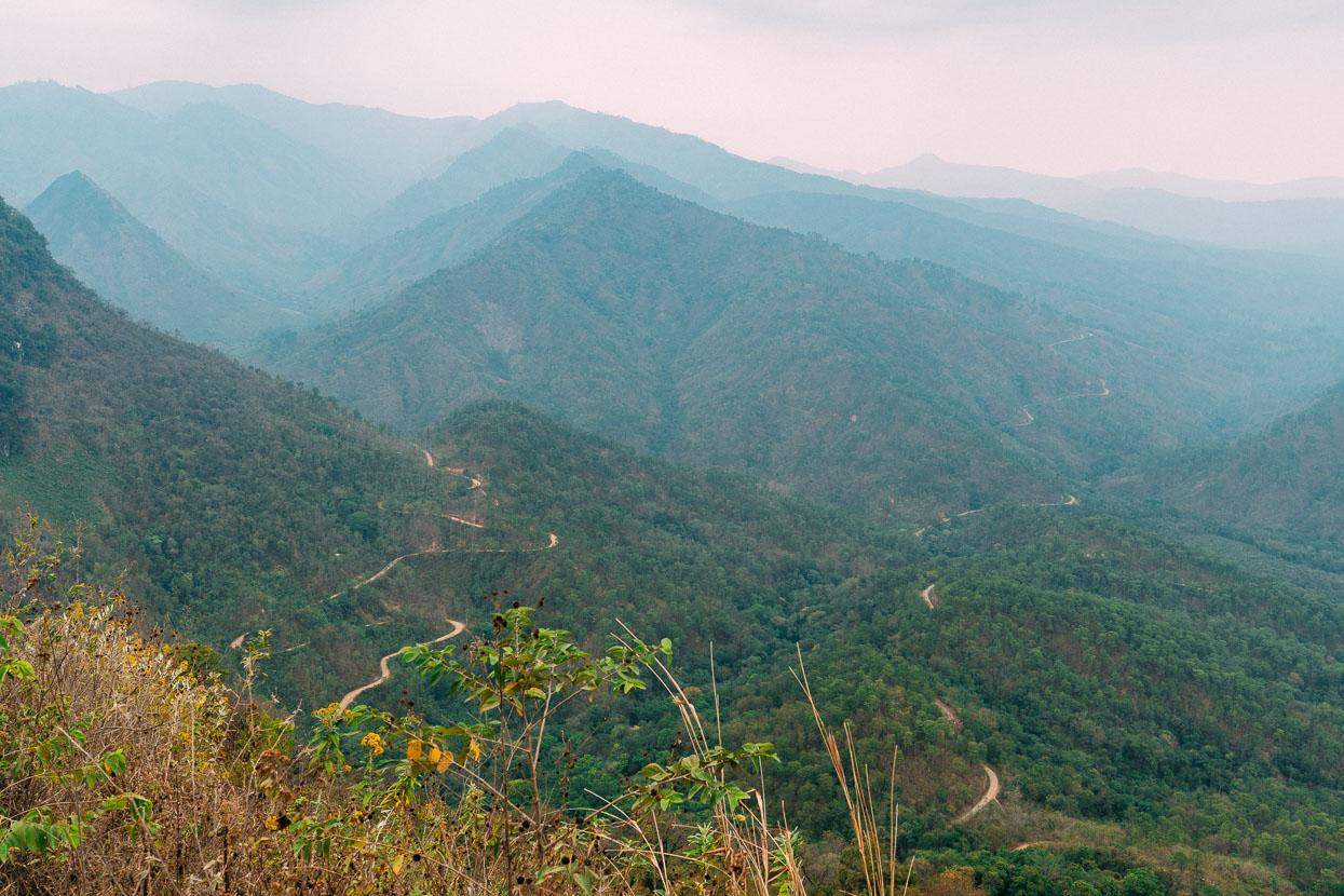
To the left, our road out down the valley from Camotlan. On the right is the road that leads down from Chimaltepec (where we would have ended up following the foot trail). This is taken from the long final climb of the day headed up to Ixcuintepec.
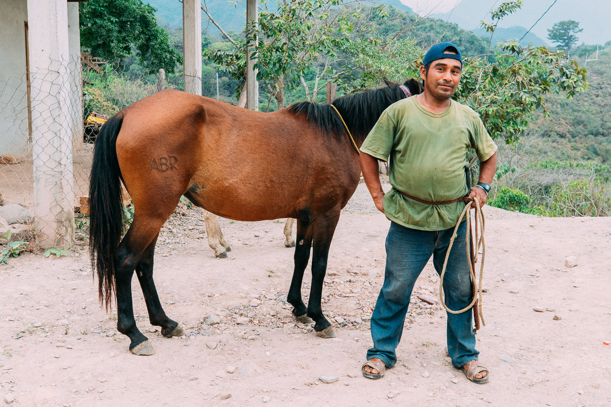
On the village limits the first person we met was Arnuldo. We try to make a point of going beyond just a simple greeting to people we meet on the road. Como estas? (How are you?) breaks the ice further, shows we speak some Espanol and creates potential for further interaction. Arnuldo offered to help us find somewhere safe when we said we needed a place to sleep for the night and introduced us to Lucia, down the road who had a small cocina (kitchen) and could make us a meal.
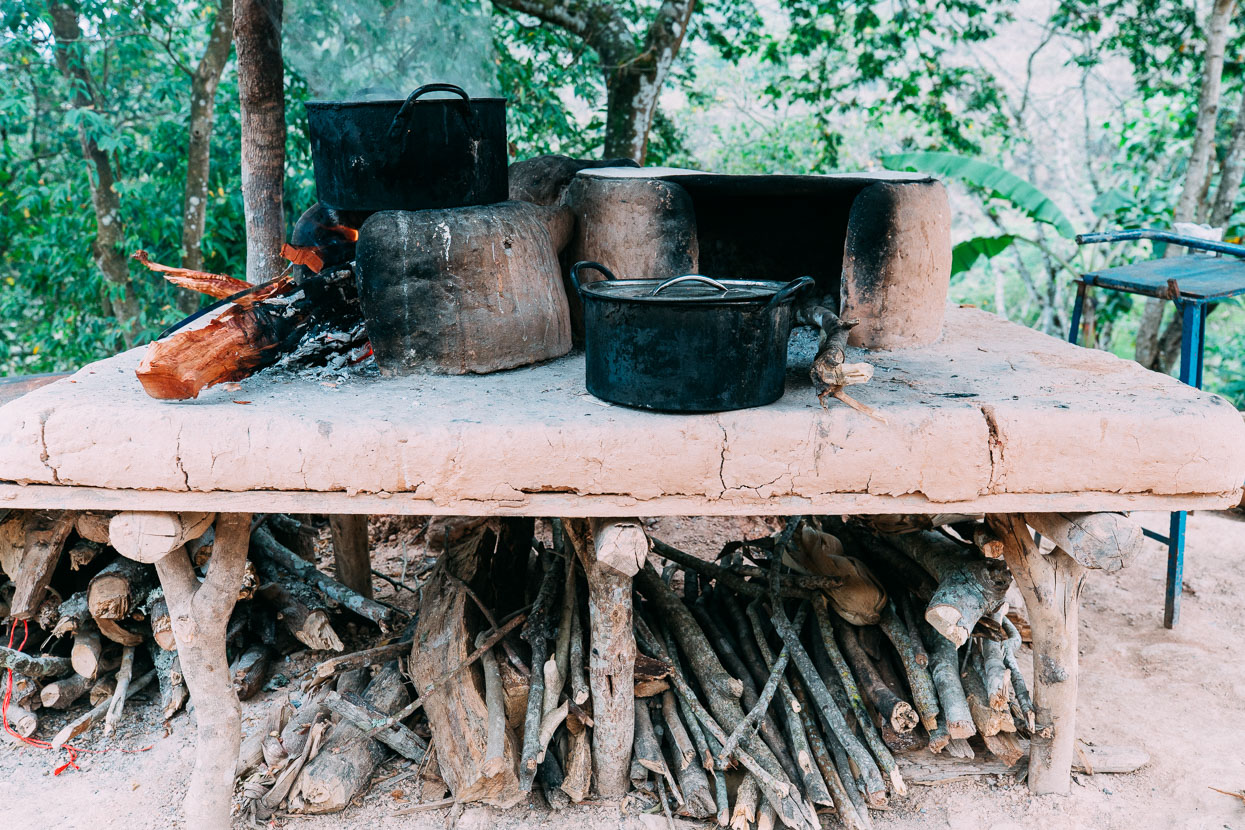
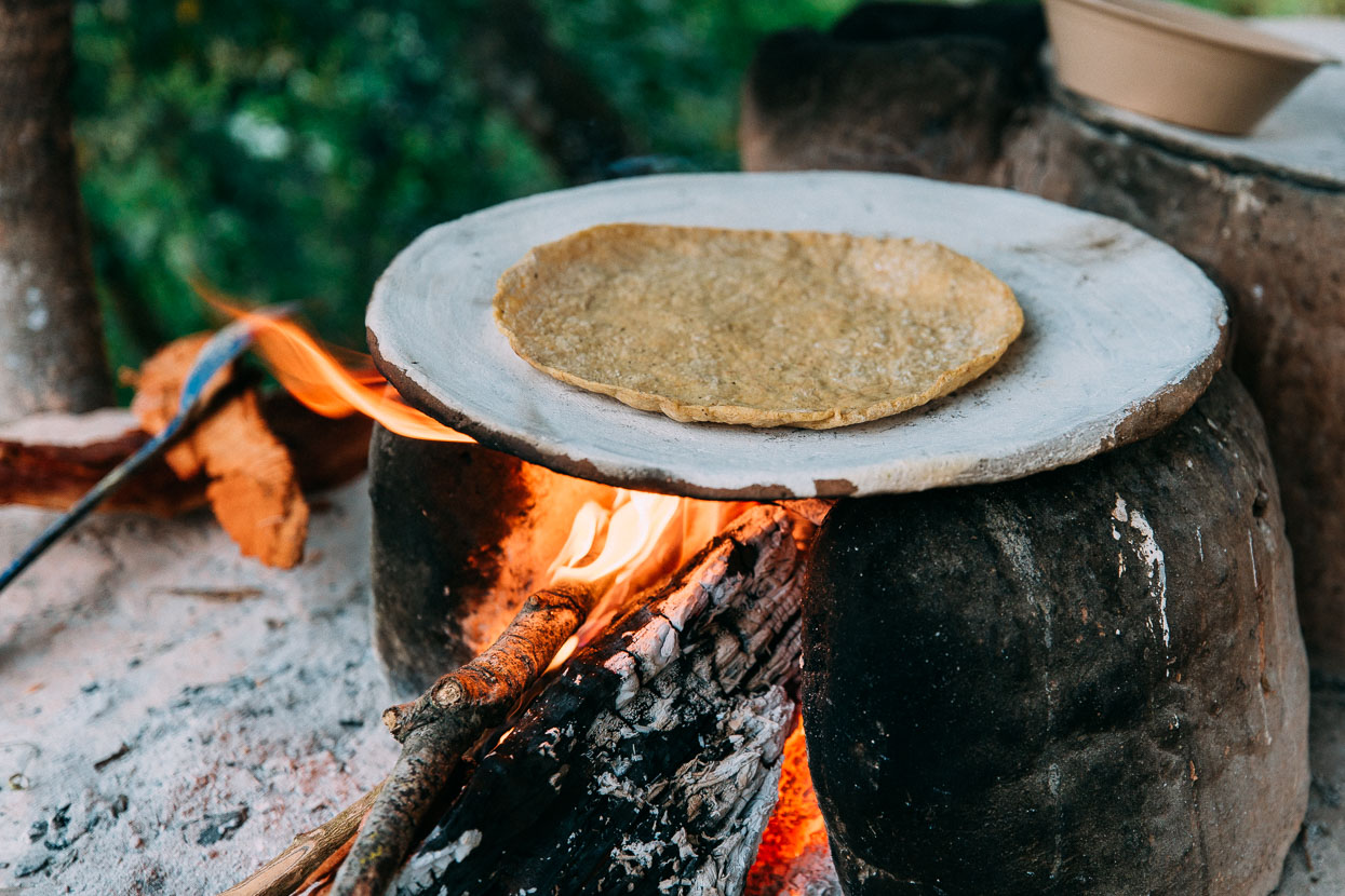
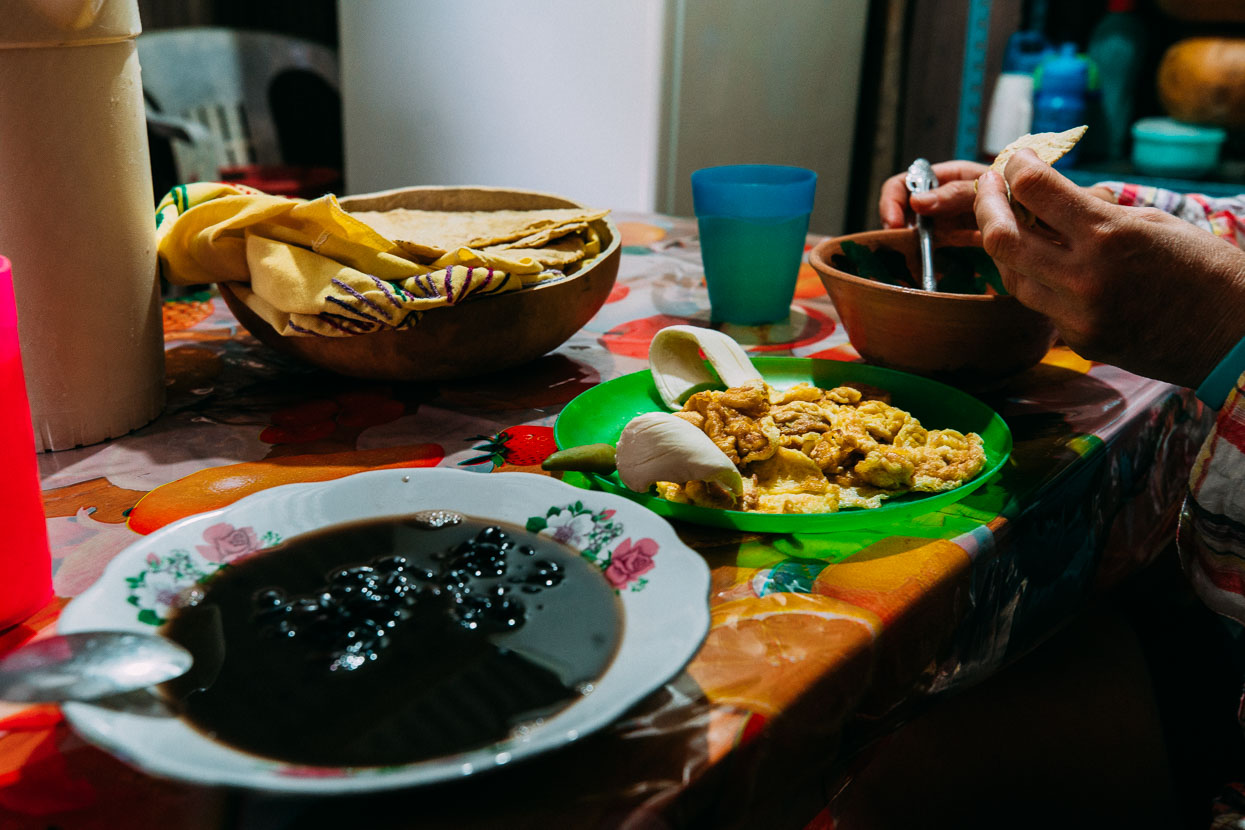
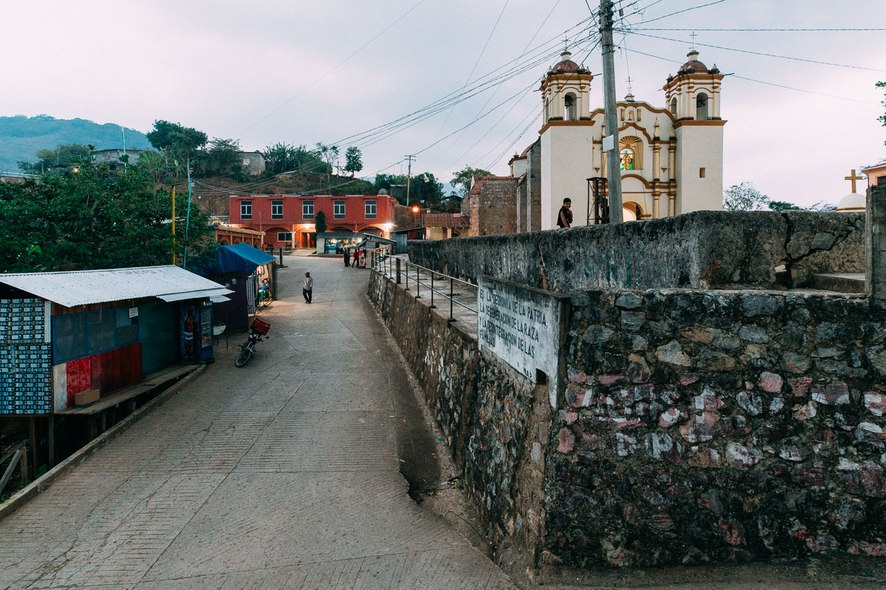
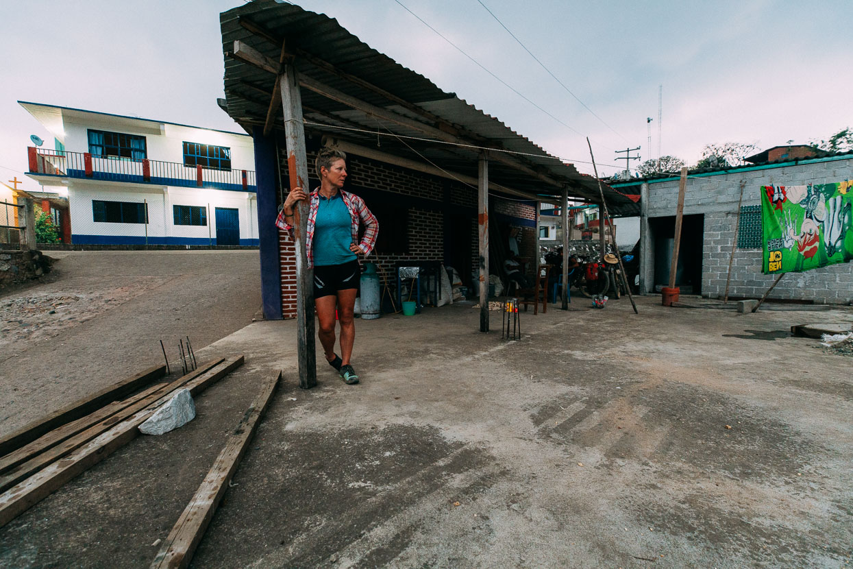
Our ‘room’ for the night was right in the centre of town. It was all very confusing. Arnuldo led us to two rooftop rooms where a rake-thin very drunk old man with only one sandal on was ineffectively sweeping corn kernels. Another expressionless character was seated, slowly picking corn kernels from cobs, to be ground for tortillas. Arnuldo didn’t introduce us to anybody, but pointed at a untidy, doorless room and said we could sleep there. By the single mattress and clothing scattered about it was clearly someone’s room – but whose we weren’t sure. After we settled in for the night at least three different people came into the room for clothes or bedding.
Another young man came and talked to us while we walked to have a look at the church. We walked with him inside and sat down near the front, chatting quietly. Near the altar a huge bunch of bananas hung on a rope above the front pews. ‘Food for Jesus.’ explained our host.
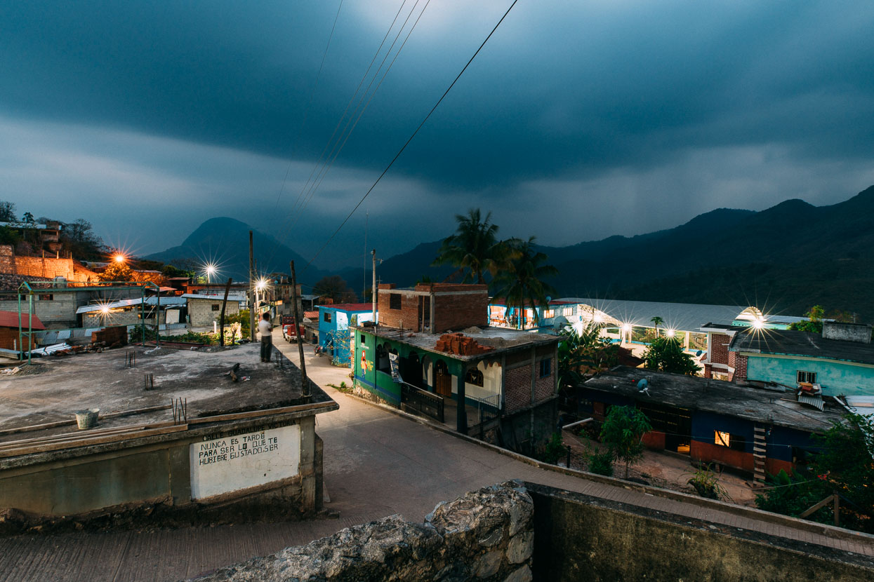
A raucous thunderstorm rolled around the mountains that night. Eventually bringing rain to us which pattered loudly on the tin roof while we tried to sleep to the sound of dogs barking, drunken chatter and all manner of random noises.
Before dawn we woke to the beating of drums, followed by a fusillade of trumpets and some singing. Near the church I could see a procession of people moving slowly across the courtyard holding poles with candles atop them. We ate, packed and left shortly after sunrise.
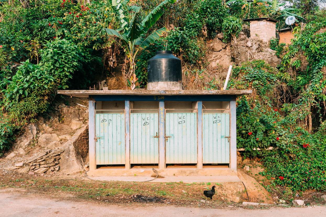
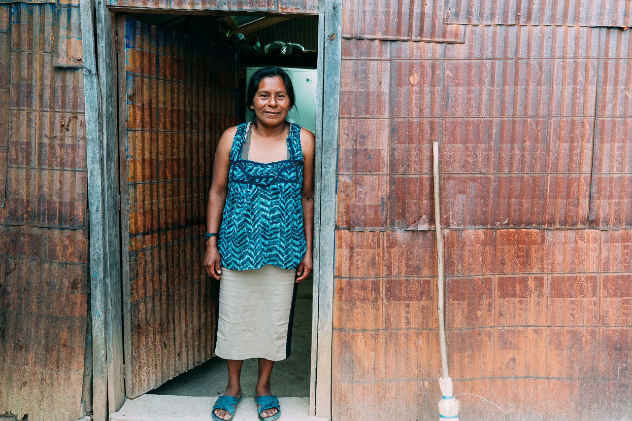
Communal toilets are common here. Most private ‘houses’ have no running water, no plumbing and many have dirt floors.
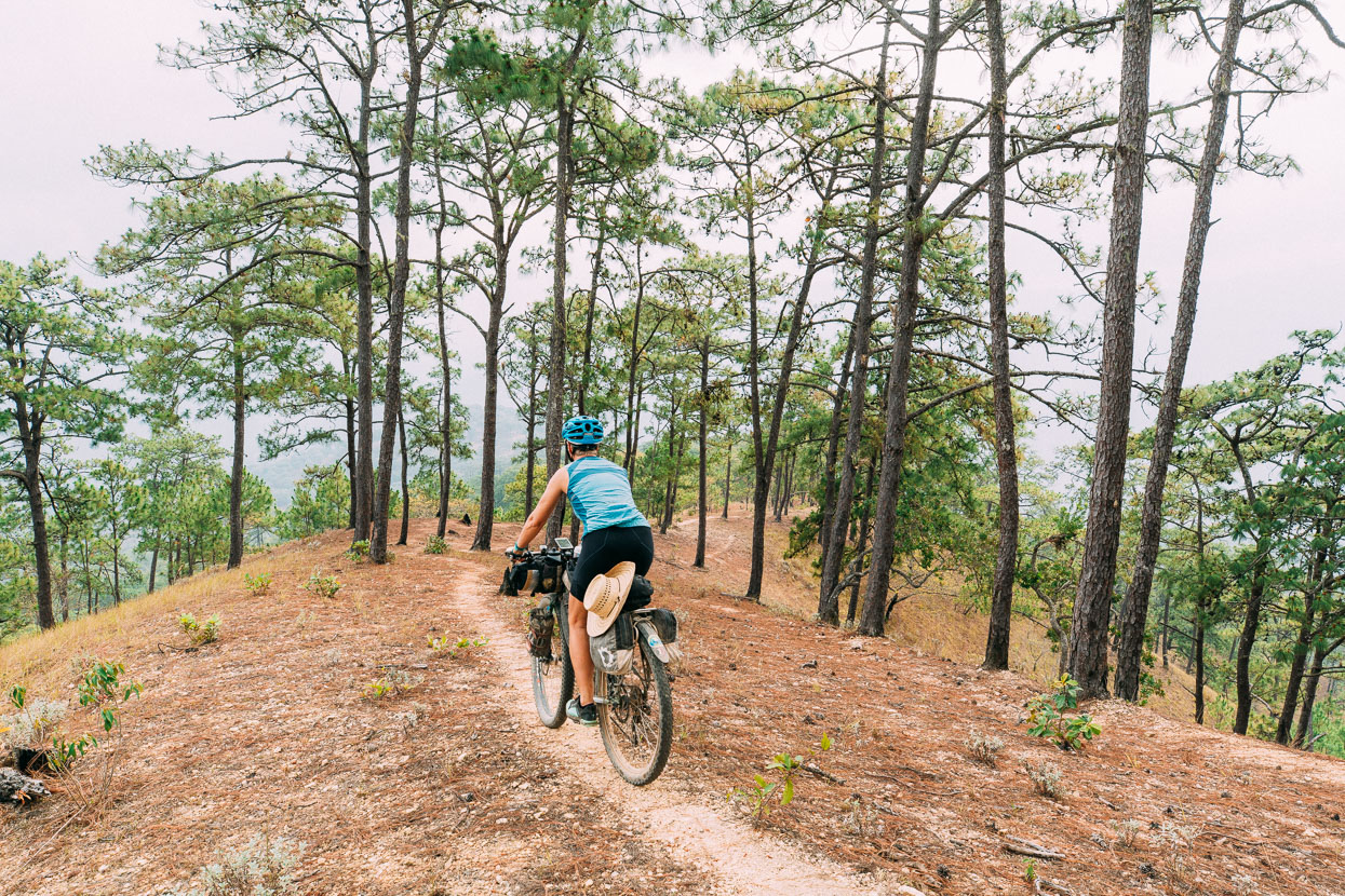
We rode downhill out of town for a while, before our GPX track showed we should turn off the road we were on to get to the next town, Santiago Malacatepec. Only there was no road to turn on to, just a horse/foot trail heading steeply down a hillside. Another case of what had looked like a good track on Google Earth being marginal for a bike. There was a house nearby where some people stood looking at us with curiosity so we asked if the route was possible by bike. ‘No’. was the answer.
Some men with horses were also headed that way so we asked them the same thing. Another no. But they said there was a road that went to the same place – gesturing widely to the west and south with their arms.
Our maps showed very steep contour lines dropping to the valley from where we were, before climbing less steeply up to Malacatepec for 520 vertical metres. Possible maybe, but risky and a long, steep push back up if it didn’t work out. We heeded the locals’ advice and studied the maps further. The only road we could see with Google and OSM (the same one we were on) led out of the mountains to the SE towards Juchitan. We didn’t want to go that way. We looked at all our maps. The Earthmate app we use with our InReach indicated a road or track that dropped into the same valley further east before climbing up to join the same foot trail to Malacatepec quite a bit higher up the ridge. We decided to check out that option.
We rode the dirt road for about ten kilometres until we got to a junction where a ground trail (definitely not a road!) led north along a ridge through open pine forest. It was clearly less well used than the trail we’d opted out of, but the contour lines were a lot more bike friendly: if it went pear shaped, it would be an easier push back up. The alternative was to ride out of the mountains much earlier and to the wrong side of the Isthmus of Tehuantepec. If we could bridge this roadless gap between mountain villages we’d be good to get through the rest of the range, we reckoned. We decided to go for it.
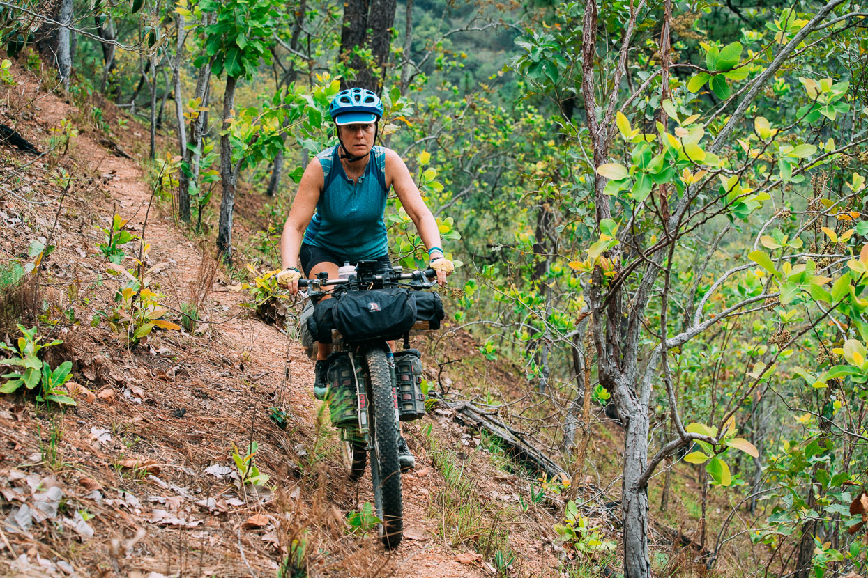
It turned out to be a fun and mostly rideable descent towards the river at the valley bottom. Unexpectedly the trail had been cut into the hillside in places making it reasonably bike friendly. We descended 400 vertical metres and saw only one person; a young man carrying a machete and a bag who had come from Malacatepec. He said it had taken him four hours on foot. Yes, he was very surprised to see us.
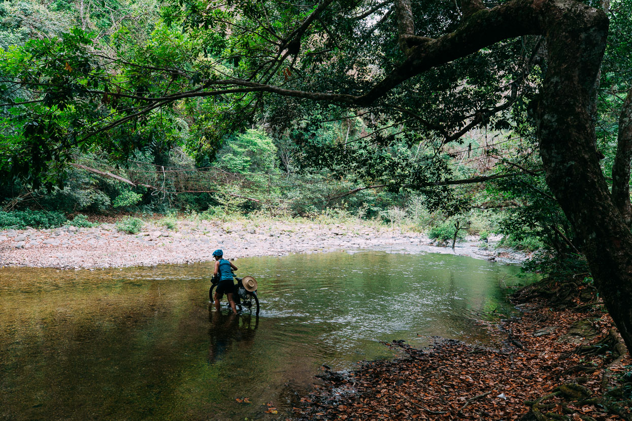
The final drop to the river was steep and the bush thickened so we pushed the bikes for a while and then waded the river. Tiny frogs scattered as we walked on the river stones and a derelict foot bridge hung over the river, covered in spider webs. It was a peaceful place to eat lunch before a big uphill effort.
Getting through the thicker riparian forest on a faint track was the crux, sweat ran everywhere and vines caught our feet, but once we we got about 100 metres up it got much easier and we even rode some sections climbing up to the main ridge.
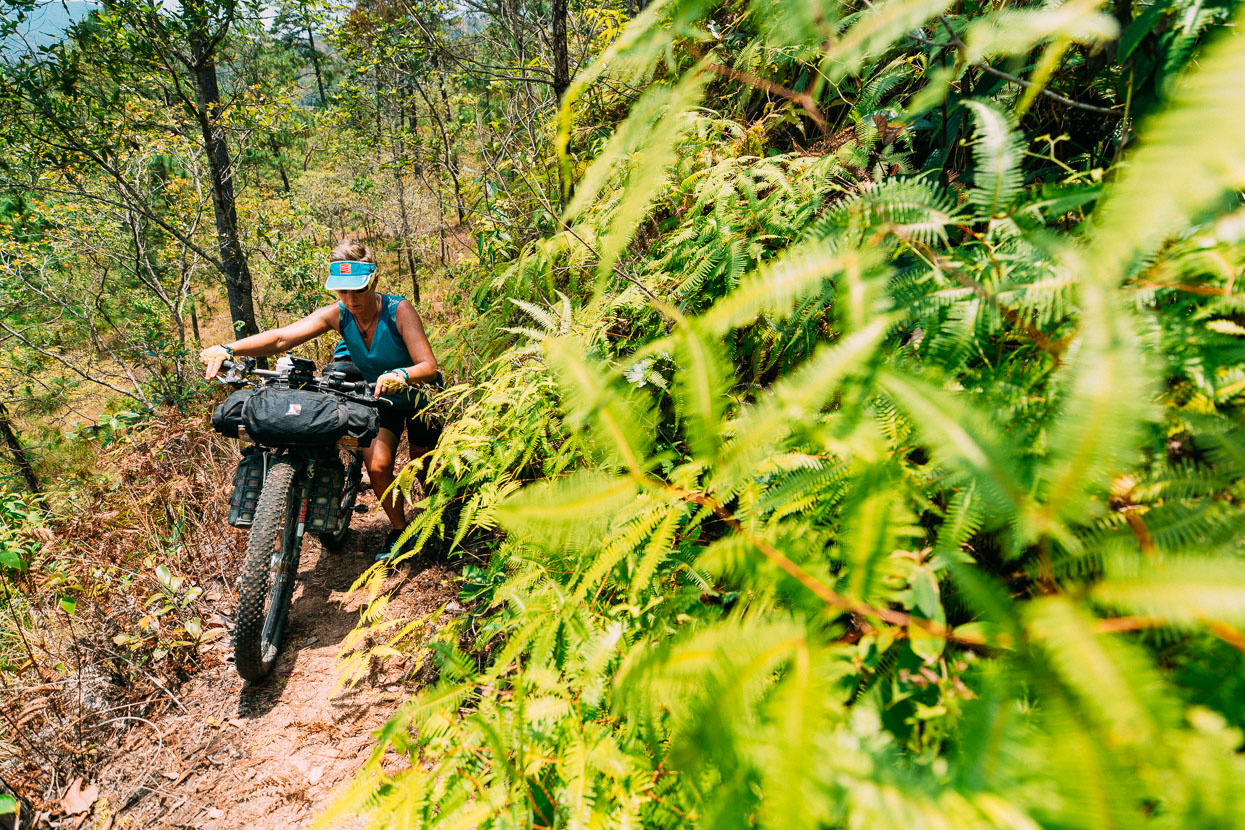
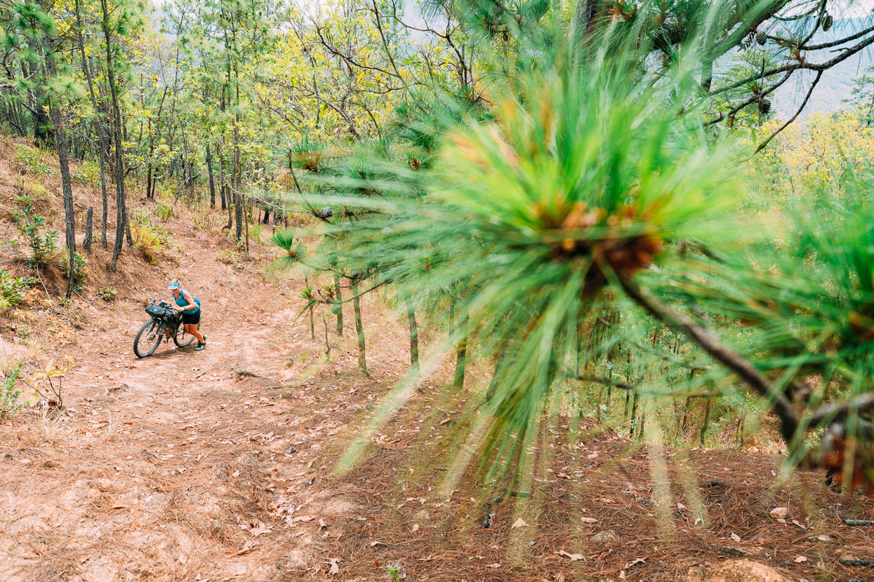
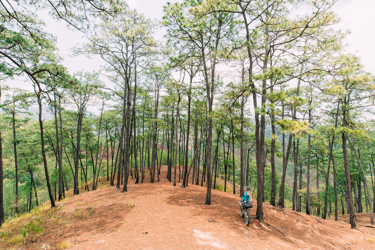
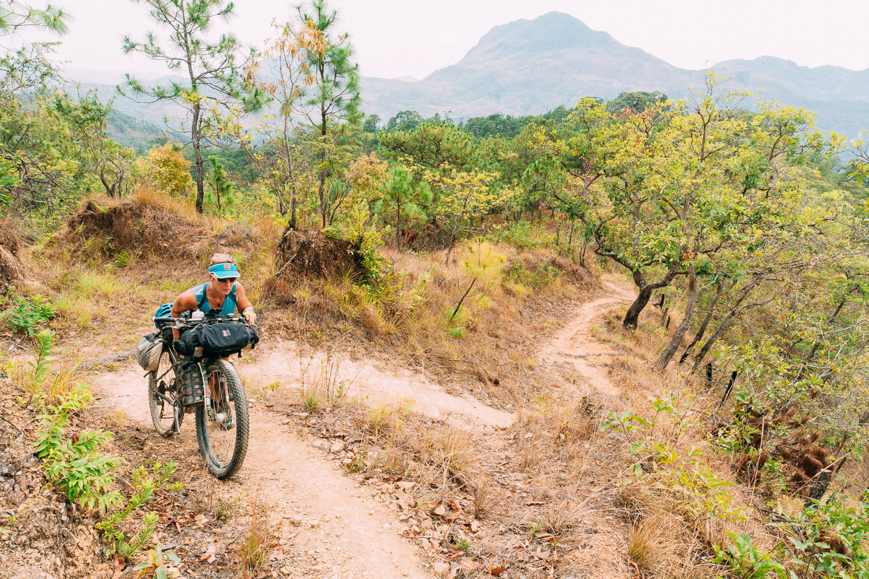
On the main ridge the track was more heavily used (it’s the trail we would have been on had we come directly from Ixcuintapec). But it had sections that were too steep to ride on loaded bikes.
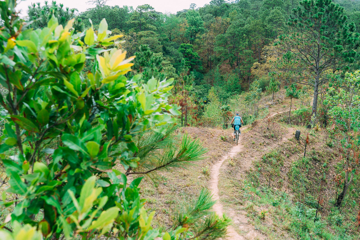
While other bits were just perfect biking.
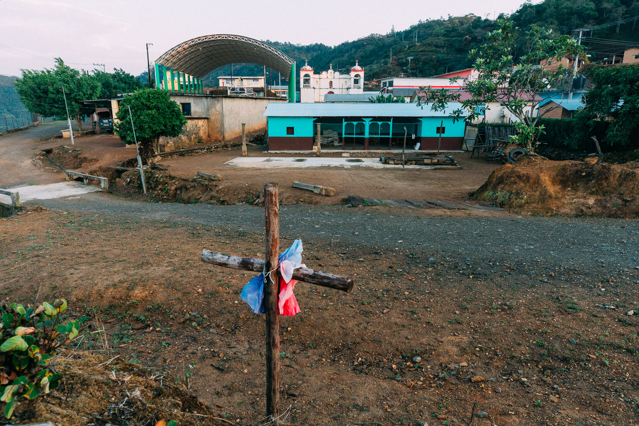
The first people we saw in Malacatepec; a man and a boy fixing a fence, were very friendly. The next person we saw was in the village jail, which is open to the road and has a great view across the valley. Not a bad spot for a jail.
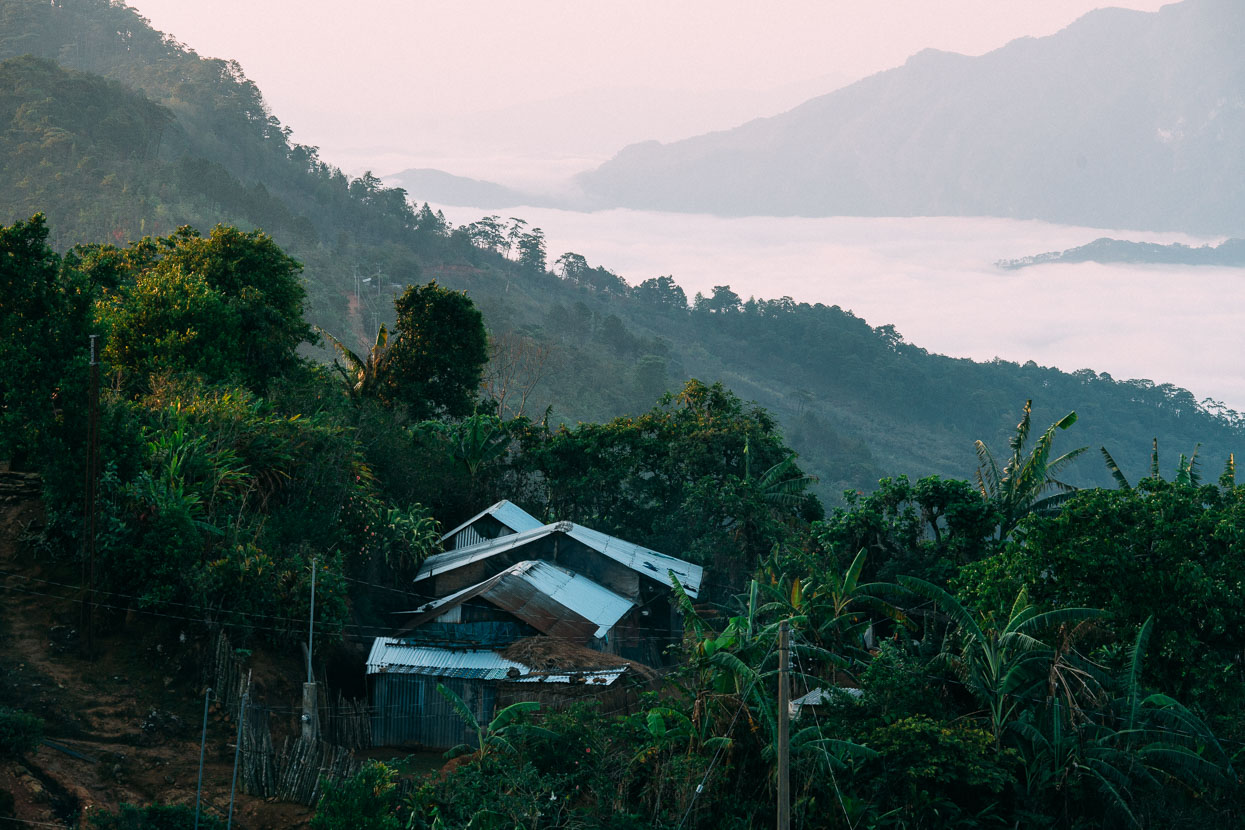
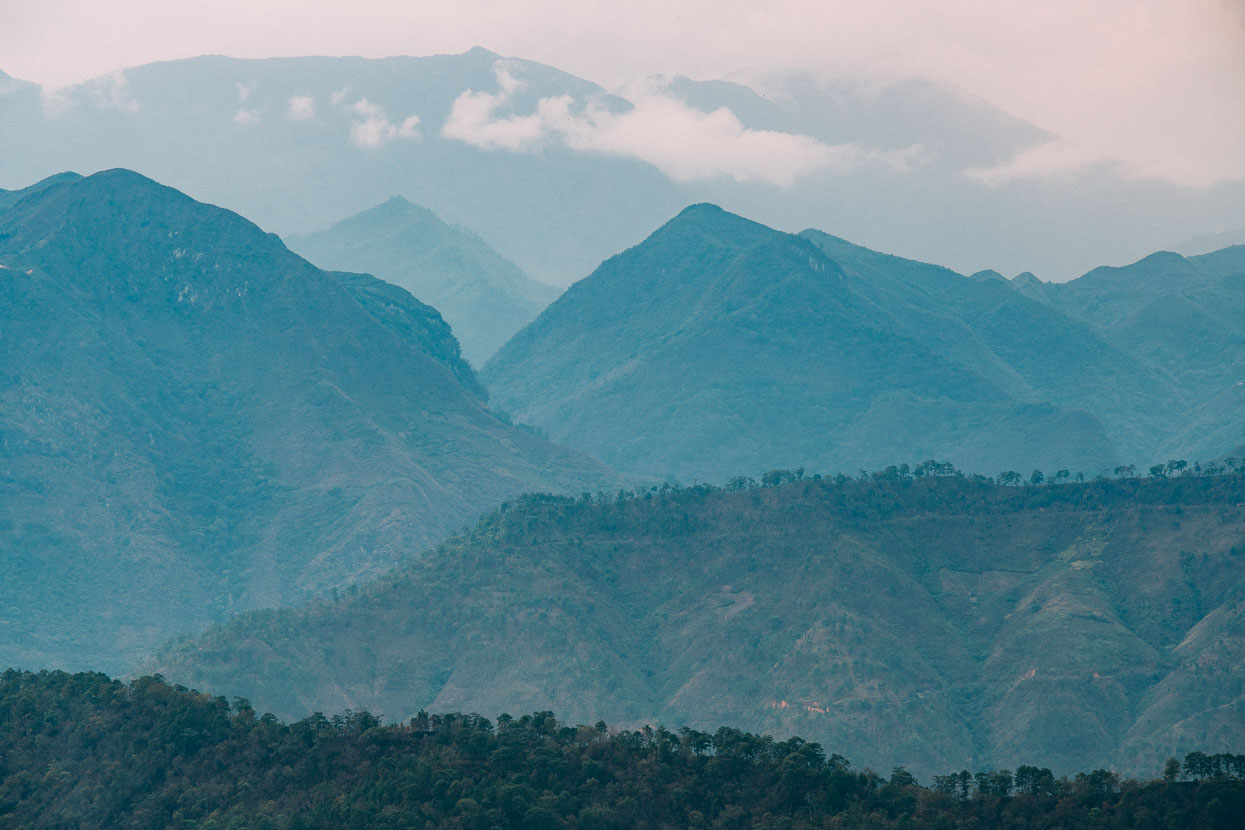
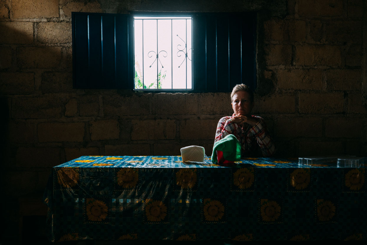
We asked two more people if there was somewhere to eat and sleep. And they led us to a small cocina at a house. A big thunderstorm rolled in while we ate quesadillas with huevos and frijoles and we were glad to have the shelter of the village. Men returned soaked from working on the hillsides and gathered to eat after we had finished.
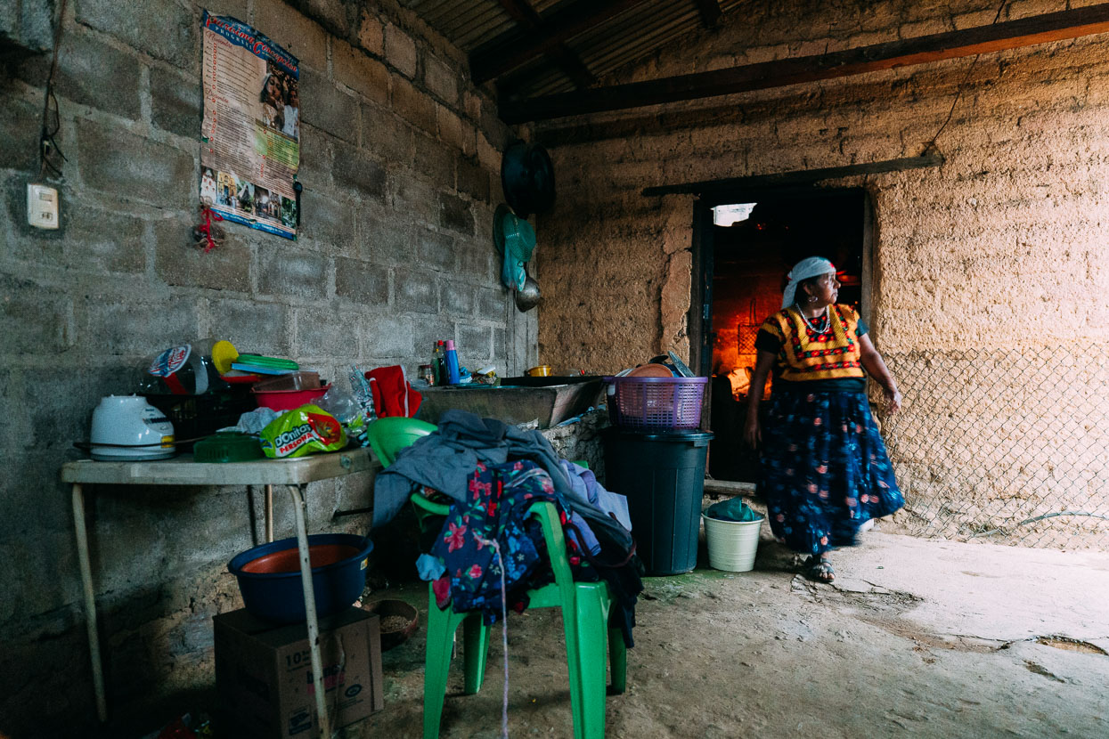
The woman who cooked us the meal was dressed typically for an older Mixe and most women over the age of 40 or 50 are dressed like this. She said we should talk to the gente (people) about a place to sleep.
When the rain stopped we walked over to the village municipal office to find many of the village menfolk gathered to do business and find out about the mystery gringos on bikes who had appeared out of a remote valley. We introduced ourselves to the two village seniors seated behind a desk who then asked us several questions in a direct, interrogative kind of manner. We answered as best we could and then remained seated for about half an hour while they discussed among themselves in Mixe, sometimes asking us more questions in Spanish. Finally they summoned a man with the village PA who came and led us to an empty classroom to spend the night in.
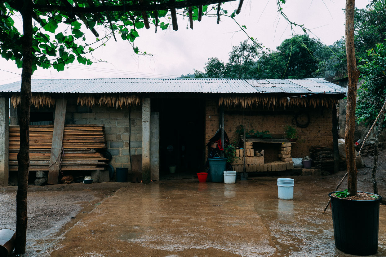
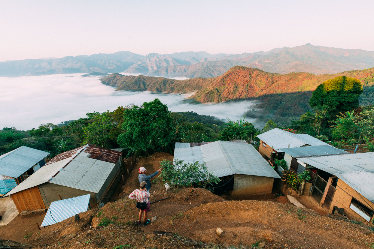
In the morning the vibe in the village seemed a little more relaxed. Nicolas saw us taking photos and started to chat before inviting us down to his modest home for coffee and pan dulce.
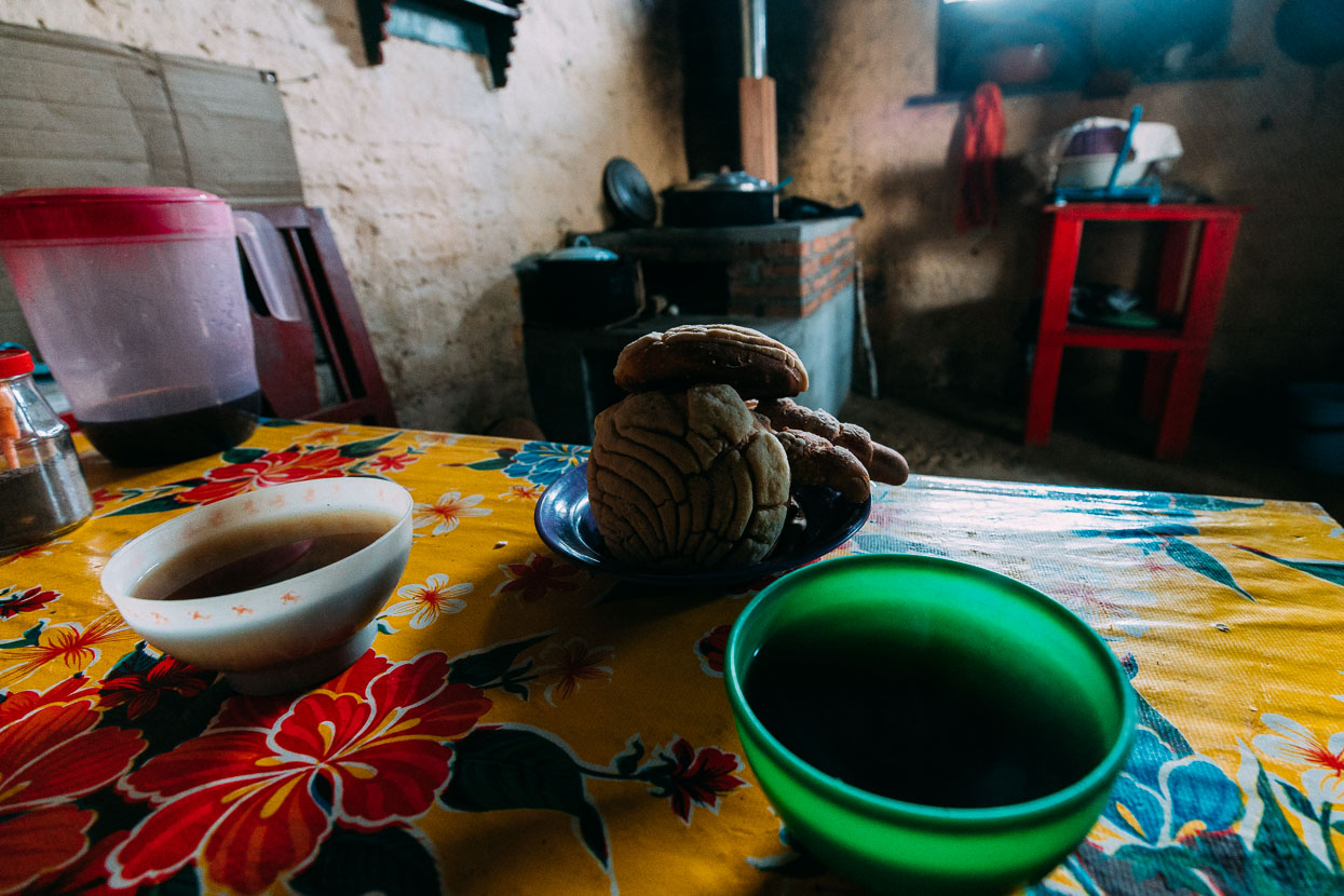
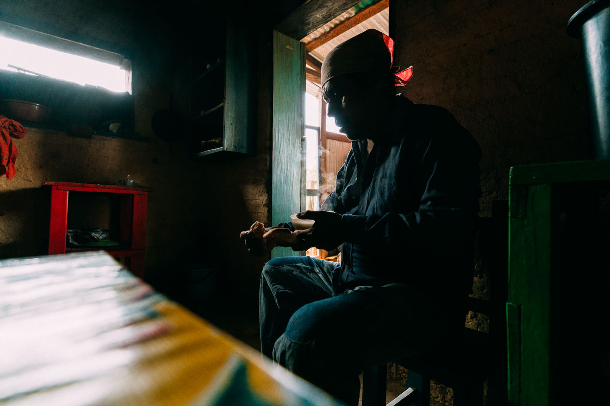
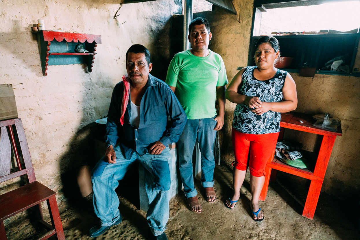
Nicolas on the left, with Angel and Ascuncion.
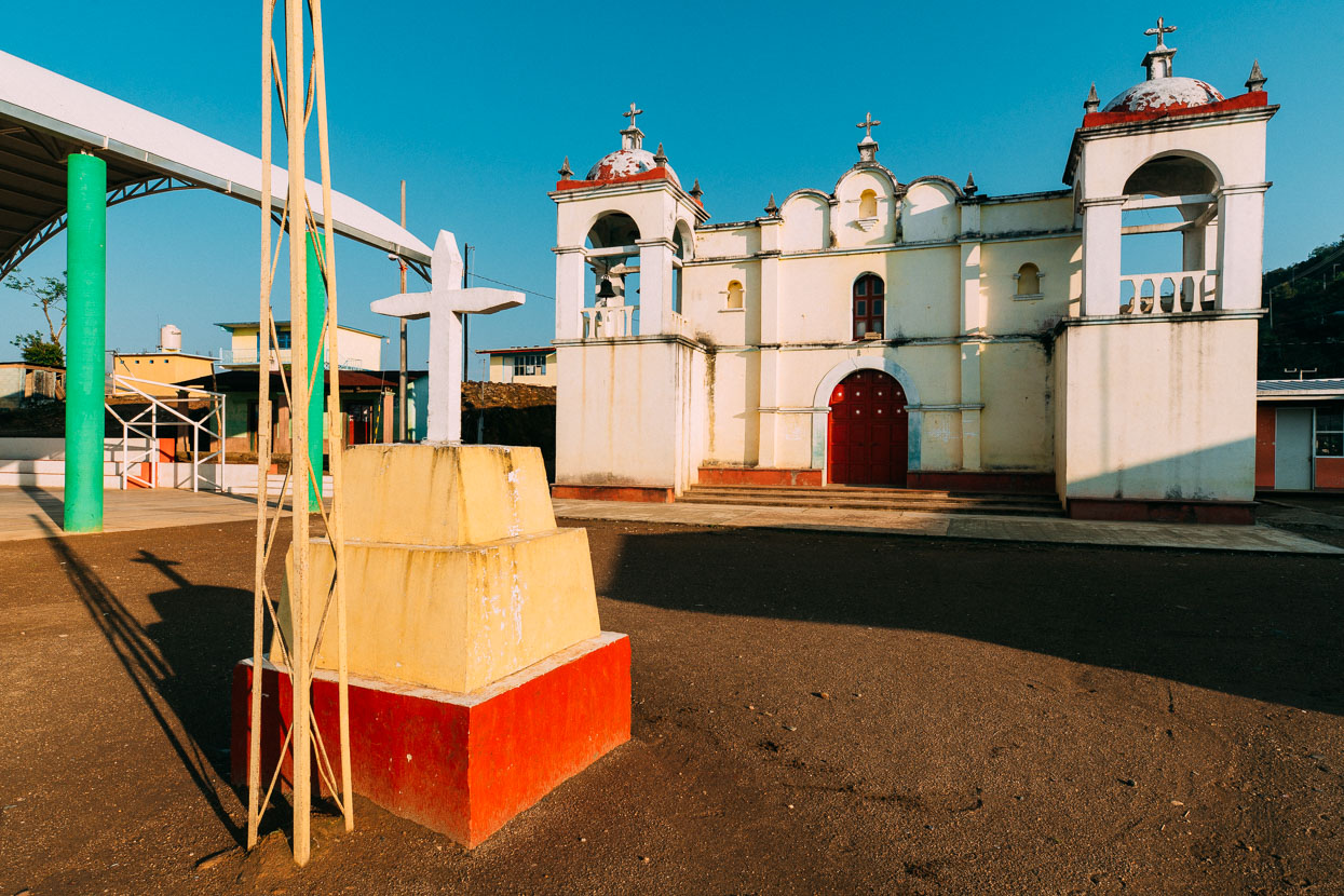
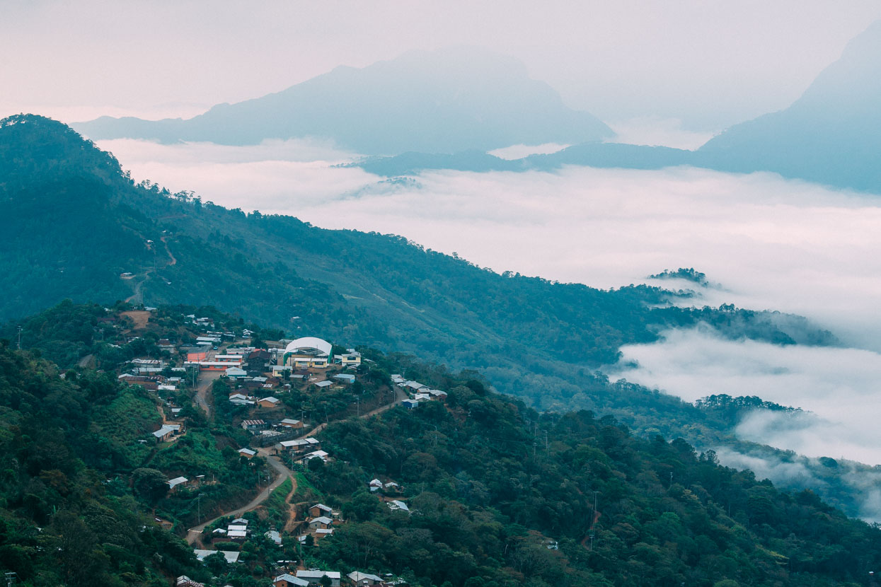
The ridge we climbed into the village (first one behind Malacatepec, coming out of the clouds from right to left).
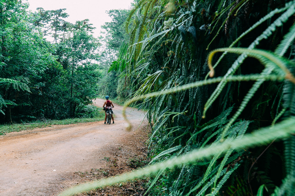
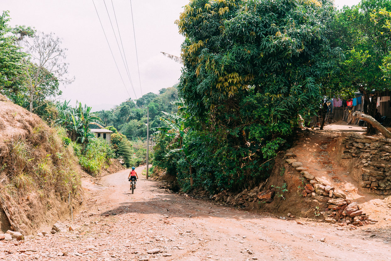
The next day we rode fantastic dirt roads along ridge tops and into steamy valleys. passing through the odd small village. We covered 74 kilometres and 2800 metres of elevation gain. A big day.
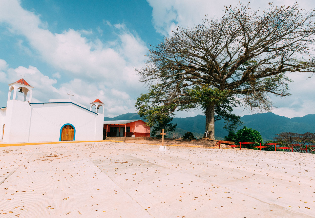
Village plaza in San Pedro Acatlan Grande (which was actually very small).
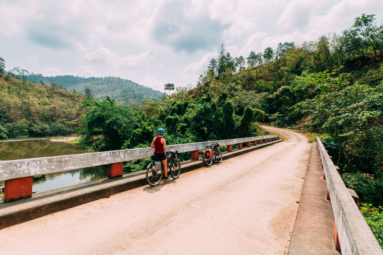
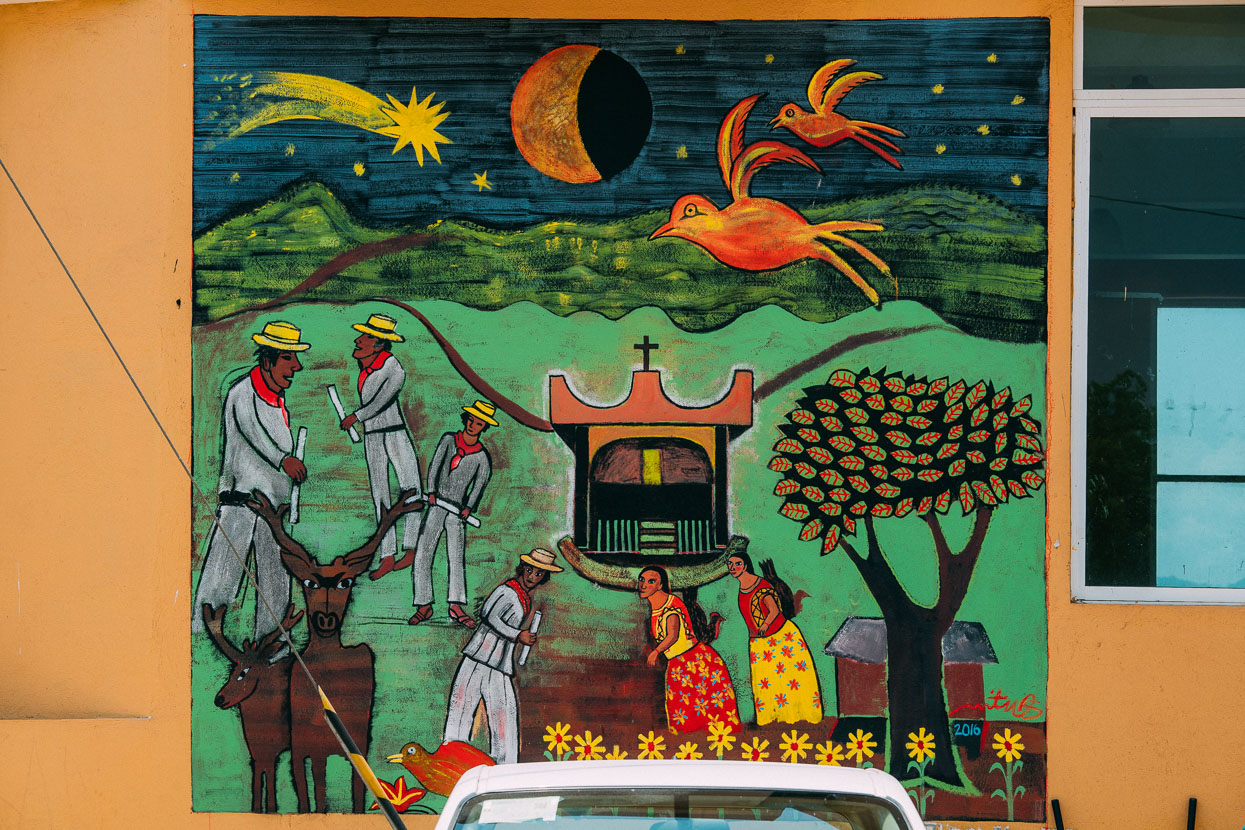
Mural in San Juan Mazatlan.
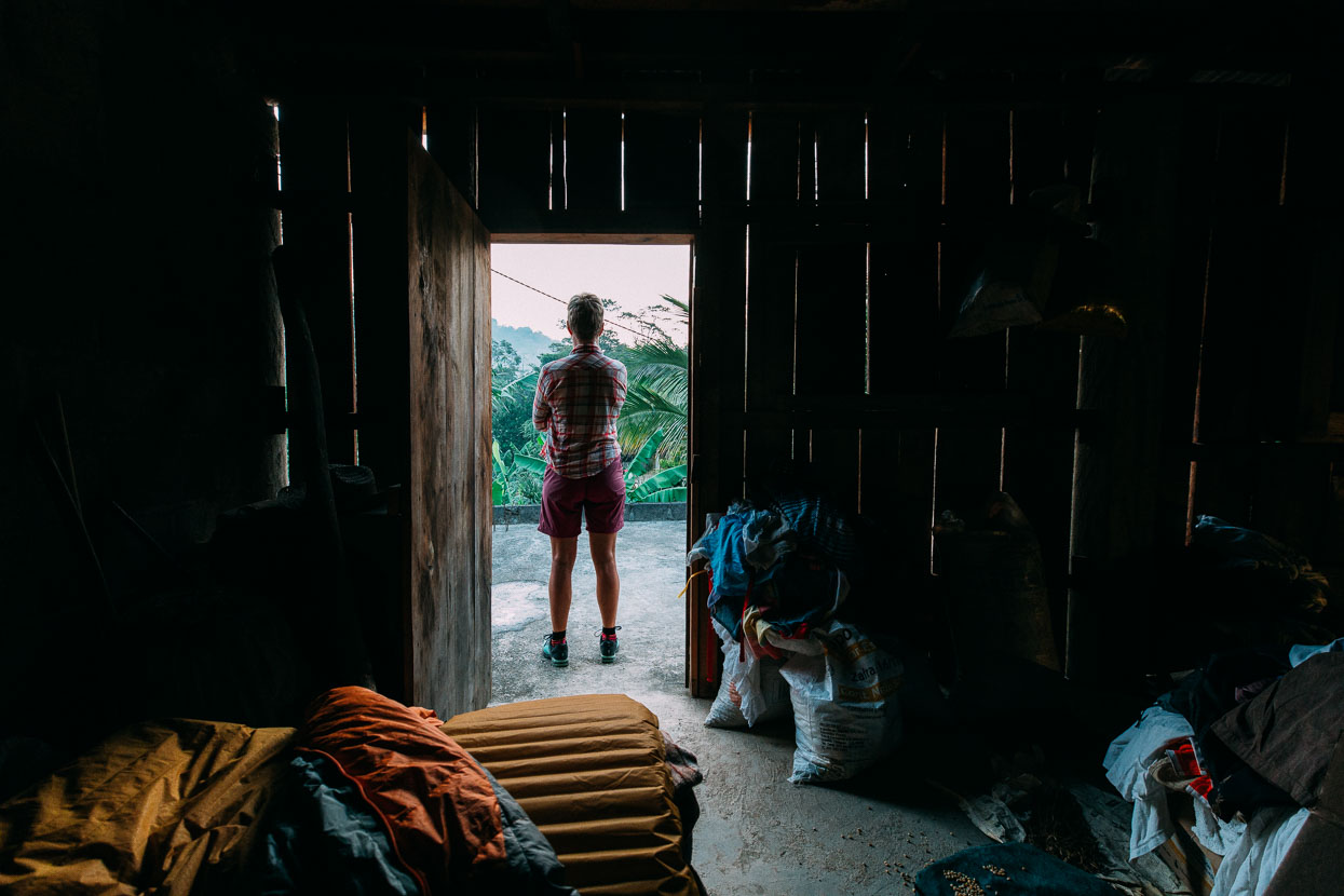
Our final night in the Sierra Madre de Oaxaca was spent in the home of Roberto and Elisabeth. We rolled into the pueblito of San Isidro Platanillo near dusk. A group of people were vigorously hacking up a cow with an axe.
We asked about sleeping and were told to ask for Roberto – three houses down the road. Roberto was happy to take us in for the night, for free. We were fed scrambled eggs, tortillas and huevos and managed to make reasonable conversation with our limited (but growing) Spanish.
Roberto made a living growing coffee, baking pan dulce and he and Elisabeth had a small comedor and tienda (kitchen and shop).
We slept on a old camping cot upstairs where the sacks of coffee and corn were stored while one of the largest spiders we have ever seen lingered in the corner.
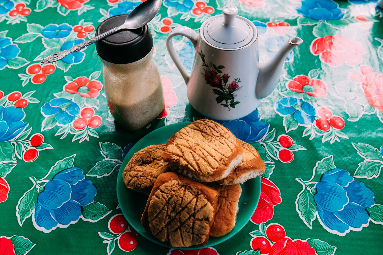
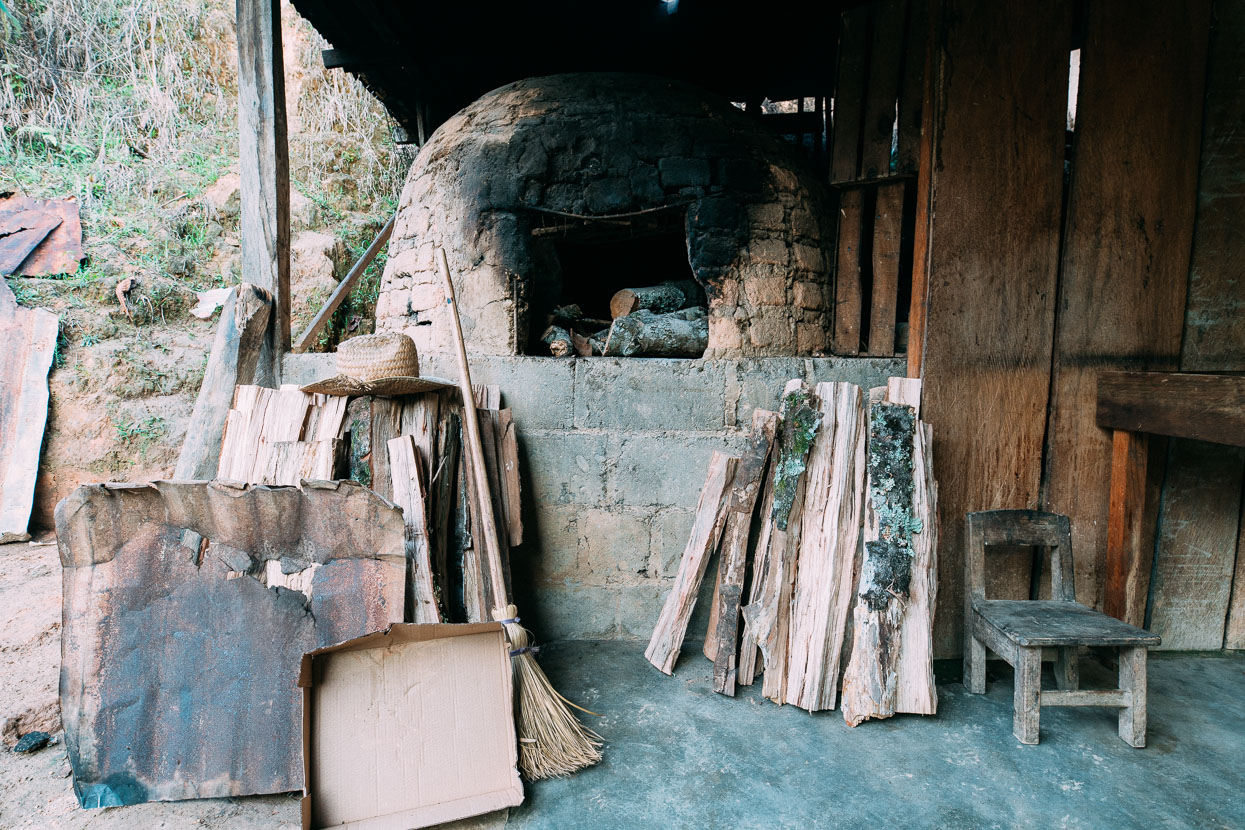
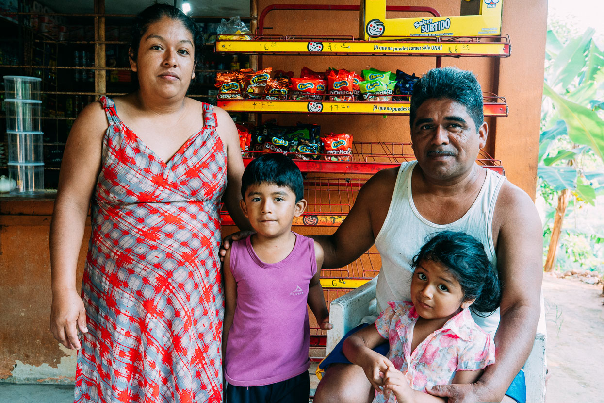
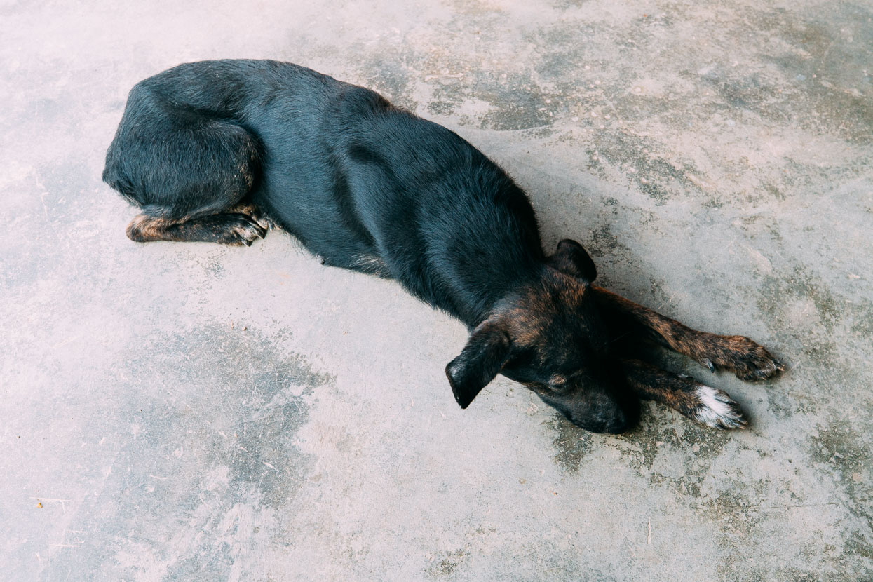
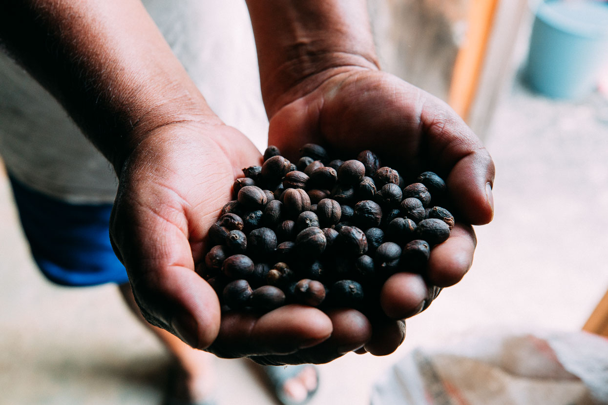
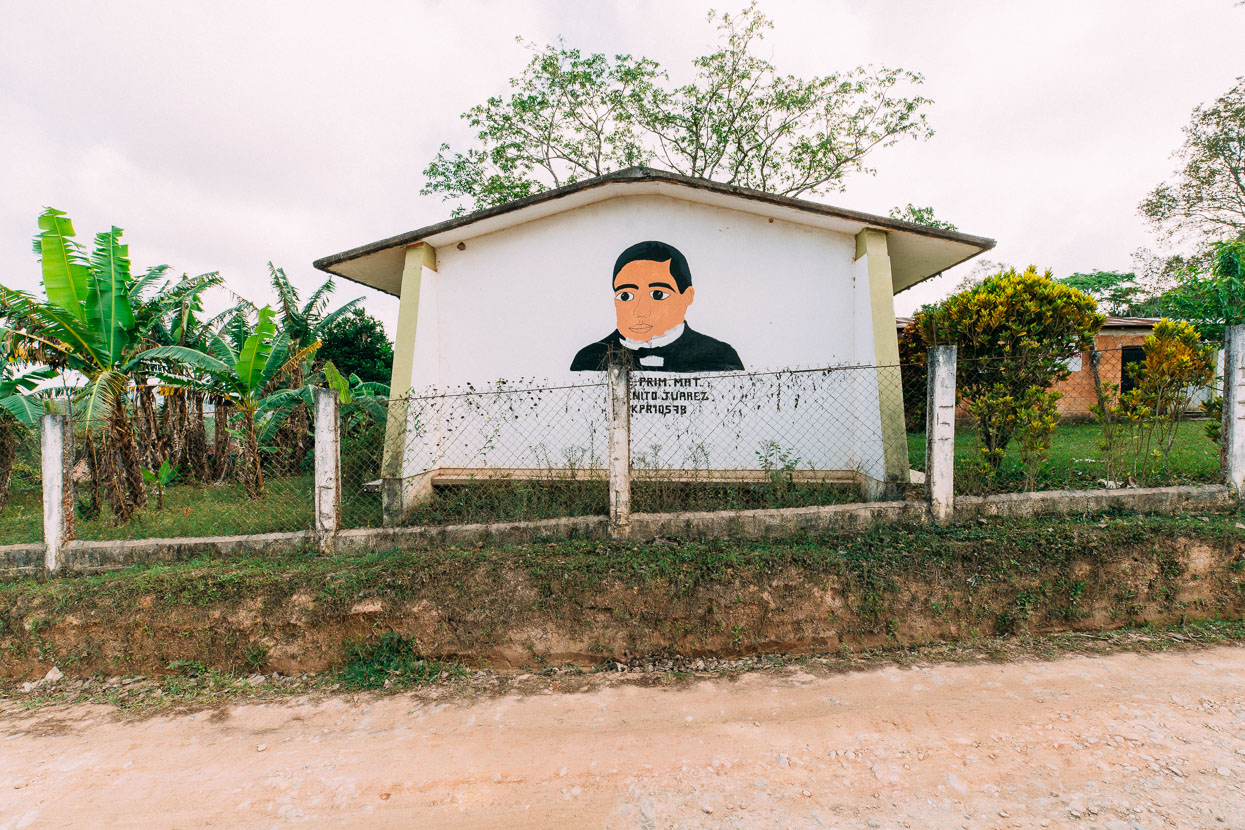
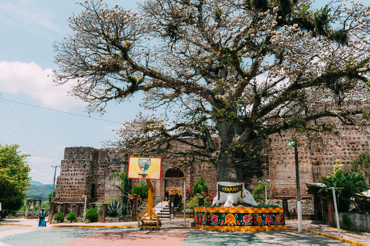
Arriving in the small town of El Zacatal felt like absolute civilisation. People didn’t stare at us quite so much any more but we still couldn’t order off a menu in the restaurant: you eat what they have.
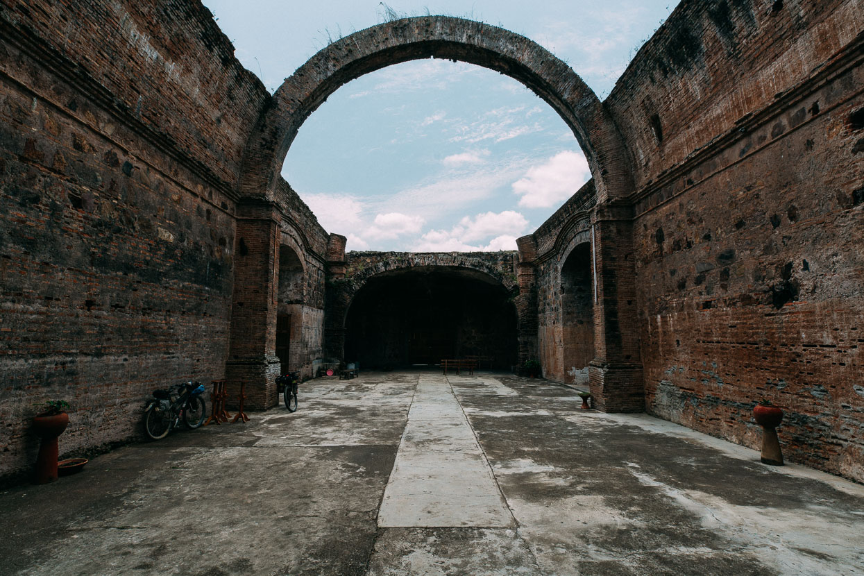
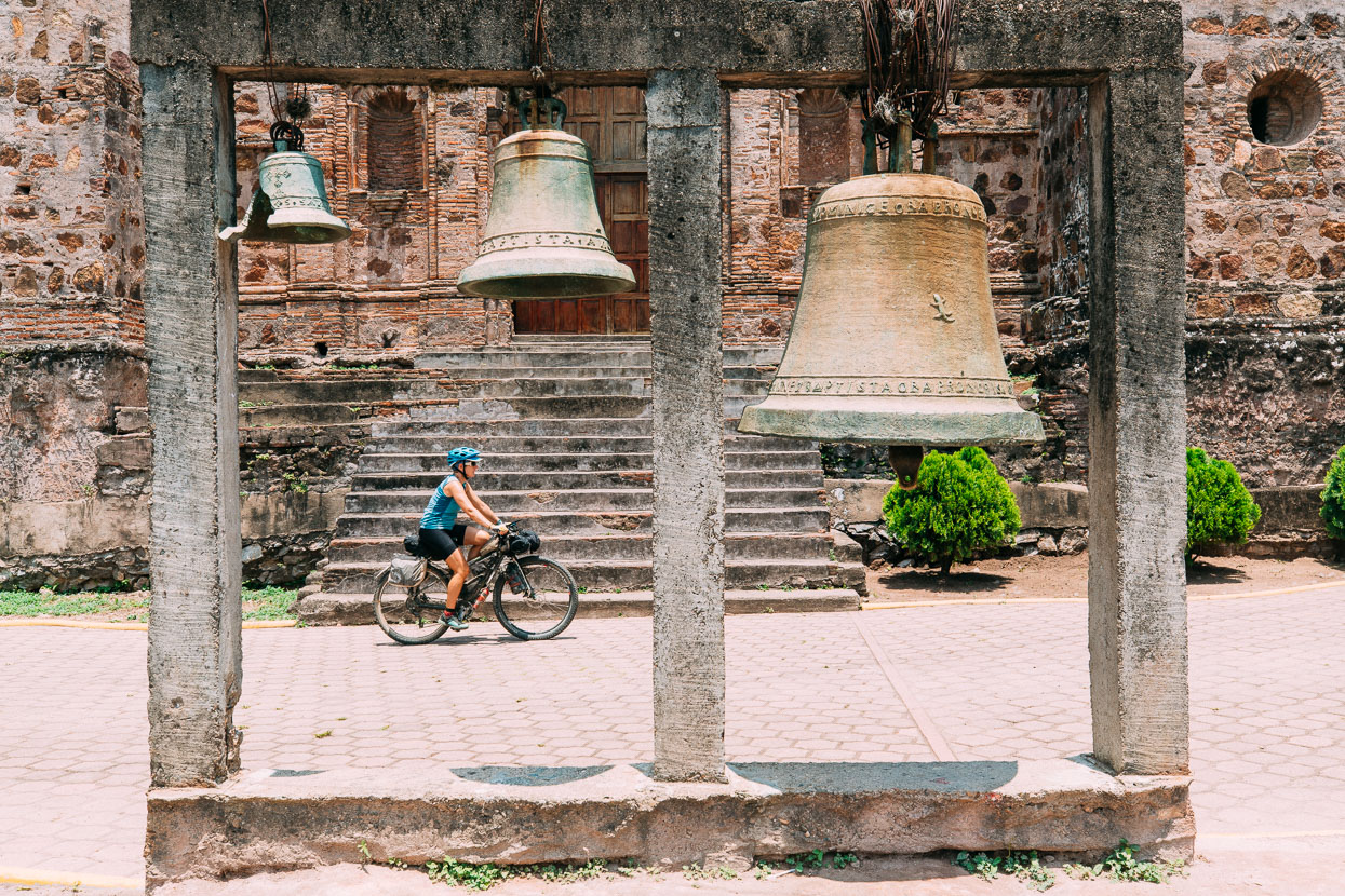
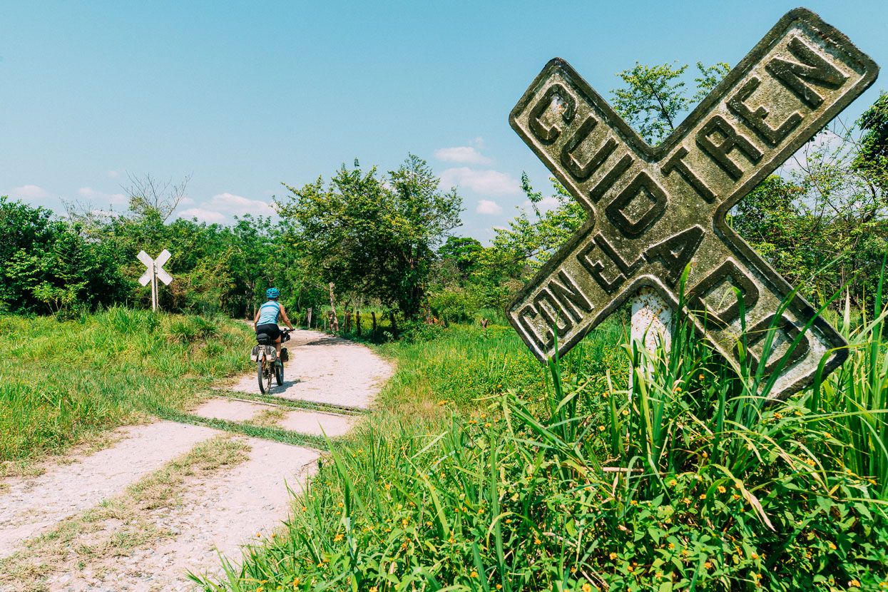
From there we pushed on out to highway 185 following pavement and some worthwhile dirt detours to take a rest day in the scruffy town of Palomares. Tomorrow we dive into the next section across to Chiapas and San Cristobal de las Casas.
Shout outs to Rachel and Brian, Justin Venable and Andrew Caldwell for your support!
Thanks to Biomaxa, Revelate Designs, Kathmandu and Pureflow for supporting Alaska to Argentina.



wow you guys are rolling south into the real deal now, oaxaca to the southern columbian border (with the notable exception of costa rica) will be the human factor crux of the entire mission i suspect. fantastic photos and stories as usual. 2800m climbing in the jungle, oof. so impressed with your nav skills! saludos y buenas lineas amigos 🙂
Hi JV – yeah I’d say you are correct. Although the further south we have gone in Mexico the friendlier it has become. Invited into peoples’ (very basic) home s three out of the last four nights! Been great. Thanks so so much for the contribution too – we’ll try to keep the ride entertaining for you!
Have been following since you two left Alaska – love the vicarious travel through your eyes!
Thanks Zachary – we love hearing from followers. Glad you are enjoying the journey. We’ll try to keep it interesting 😉
cheers,
M+H.
Great adventuring in the real Mexico. Nice bit of navigation tension to keep you awake… You are keeping the tourist hordes out of your photos and story so neatly. Must be difficult.
Thanks Neil! Not much photo trickery going on – outside of Oaxaca city and Mitla we have seen no tourists, other cyclists, or anybody except typical Mexicans going about their day – just how we like it 😉