This post follows our journey across the Yukon; Canada’s north-western state, and one of its remotest.
With a ride of over 1100 kilometres and 10 riding days, we combined the Top of the World Highway from the Canadian Border with the Klondike and Alaska Highways across to Watson Lake, via Dawson City and Whitehorse.
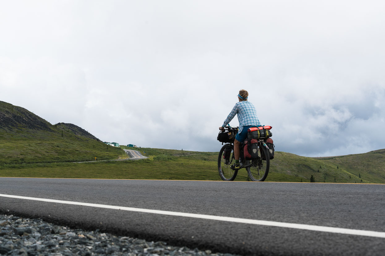
Approaching a cluster of buildings on a remote ridgetop: the Canadian Border and start of the Top of the World Highway that would take us into Dawson City. It’s the northernmost border crossing from Alaska to Canada and closed during winter when this landscape is thoroughly locked up by snow. Summer sees a steady flow of Baby Boomer RV drivers making the classic Alaska Highway (ALCAN) and Top of the World/Taylor Highway drives into Alaska from Canada.
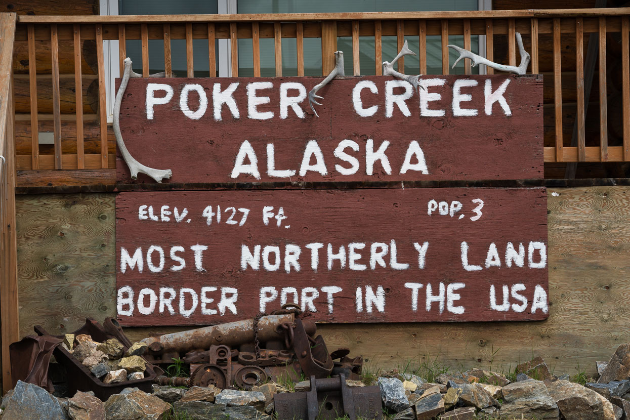
The crossing was uncomplicated and the border guard even offered to fill our bottles for the waterless 100km stretch of ridgetop riding that lay ahead.
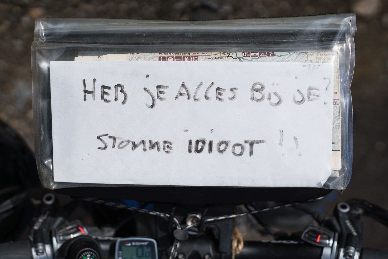
As times forgetful, Rik made the expensive mistake of leaving his Arcteryx Gore-Tex jacket hanging at one of our rest stops 15km before Boundary. He rode back in the morning to retrive it, but someone else had sadly beaten him to it. He wrote himself a harsh reminder: ‘Have you got everything? Stupid Idiot!’
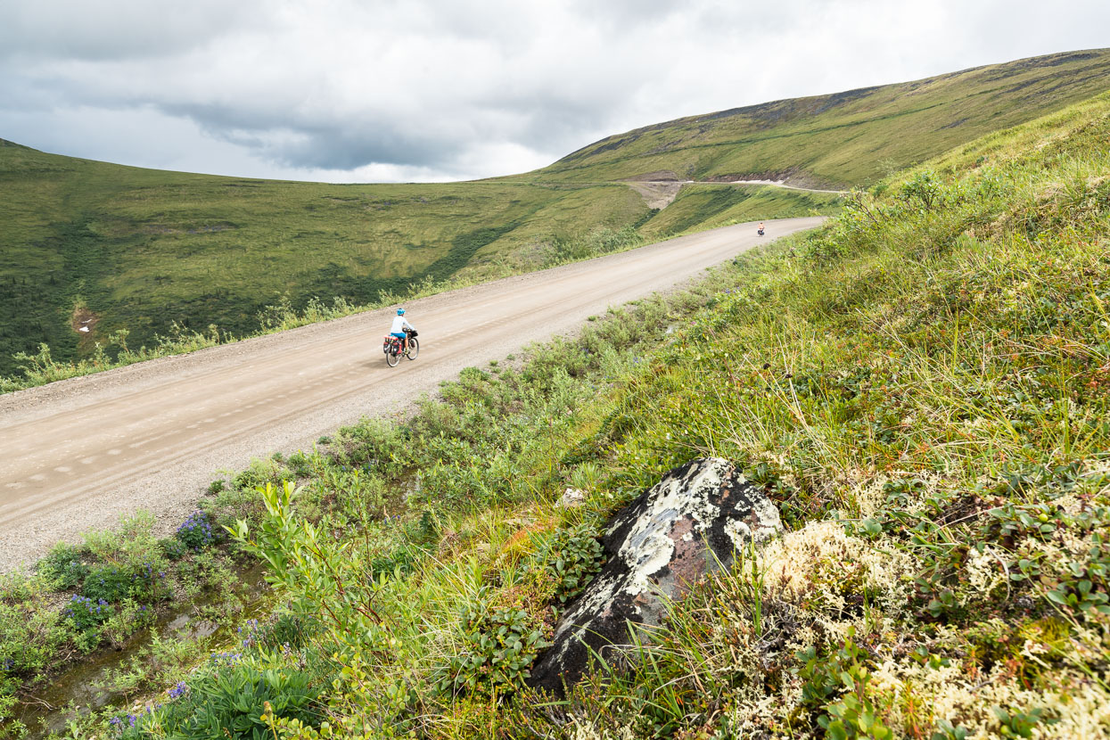
Beyond the border we climb for a while, above the treeline again, on the start of the Top of the World Highway. The road is little used, but in the summer months becomes a rite-of-passage for RV-based tourists driving in the north, and they’re pretty much the only traffic we see all afternoon. The first section from the border is the best, with barren, lofty hills and an intense sensation of wide open space. Beyond, the low lying forest closes us into a corridor along the ridgetop in places, but it’s still enough for me to be humming a certain Carpenters song, except there are clouds in the sky.
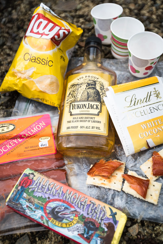
It’s my 45th birthday, and Hana and Rik make it memorable with gifts and a practical but decadent spread for lunch. Unfortunately the weather had other ideas and we spent the rest of the afternoon and evening being thrashed by a thunderstorm. To date these have usually been brisk, but this one dumped heavy rain for quite a while and eventually we were all wet and cold. At 1000m and in an exposed place it was simply heads down and crack on. Finally the rain stopped and we paused to swap wet layers for dry before the long downhill to Dawson City.
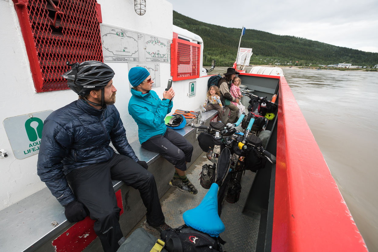
Emboldened with swigs of Yukon Jack from my birthday stash we flew down the 14 km descent to the Yukon River, arriving at 9.30pm after a long day of hilly riding. We only had to wait for only a moment before hopping on the ferry across to Dawson City, the only way in if arriving from the west.
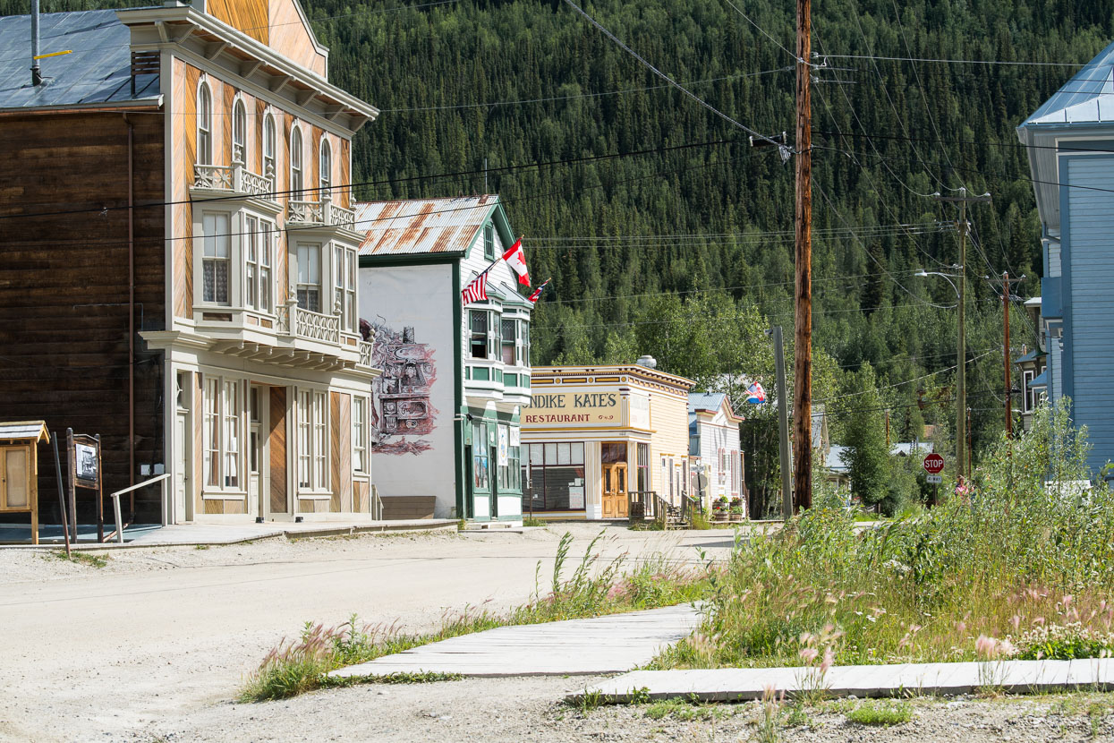
Immediately upon riding into Dawson City one feels as if they are entering a film set. Streets of dirt, authentic historic buildings and frontages and a mixture of the old and new combine to create a town that feels like a novelty, without pretence. We’ve become used to seeing few holiday makers under the age of 65, so it’s refreshing to see young people socialising in bars, hipsters wandering down the streets and a sense of fun in the air.
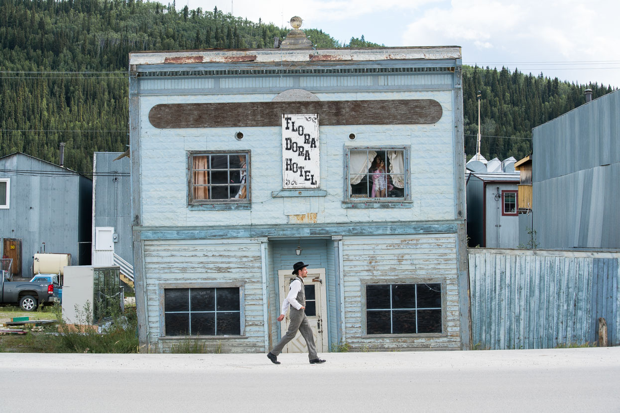
Melting permafrost has taken its toll here and there, upsetting foundations.
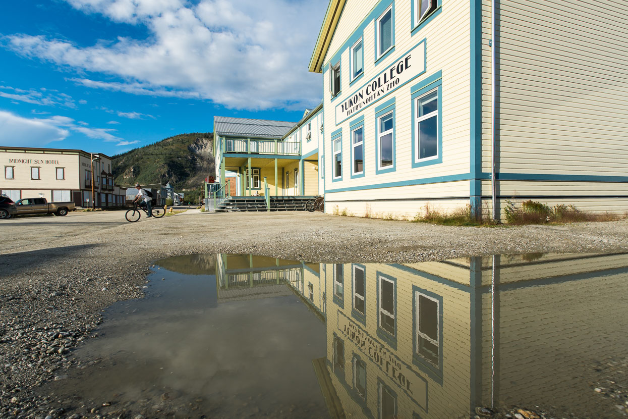
The town’s history goes well beyond the gold rush that founded its modern form: native Americans used this site, alongside the Yukon for a very long time. Their language appears on some signs around the city and we spot if often crossing the state.
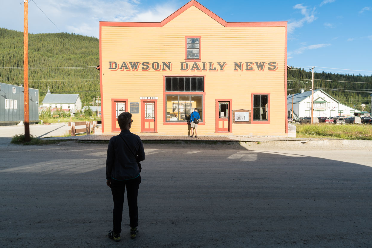
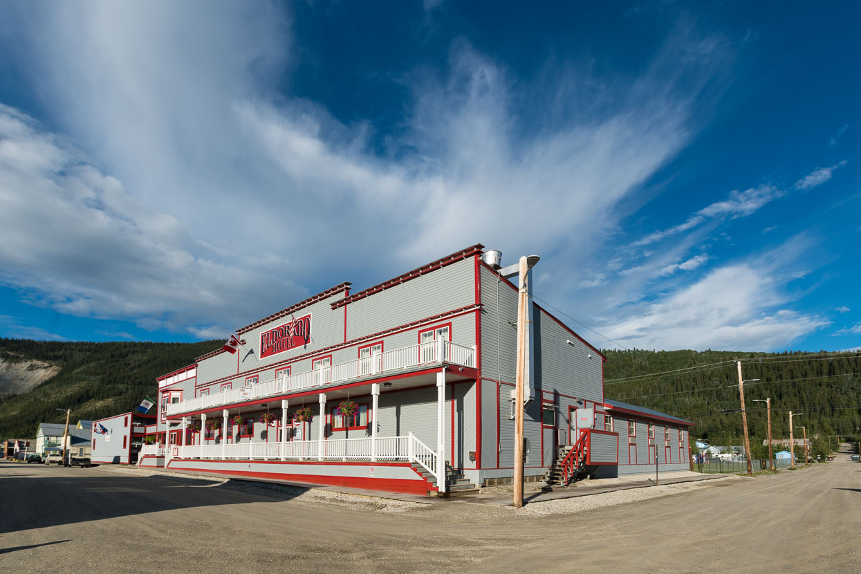
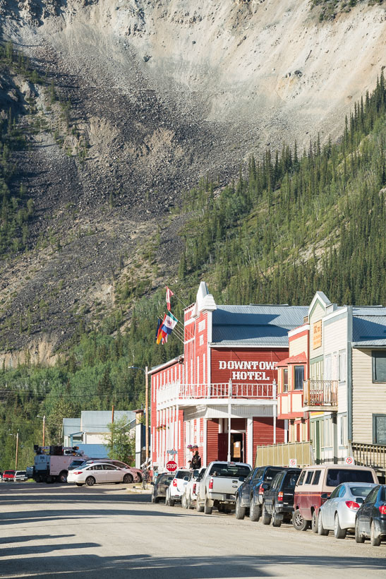
A raw and ungroomed landscape surrounds the town.
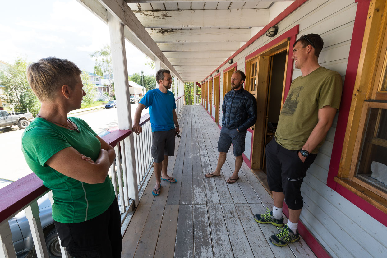
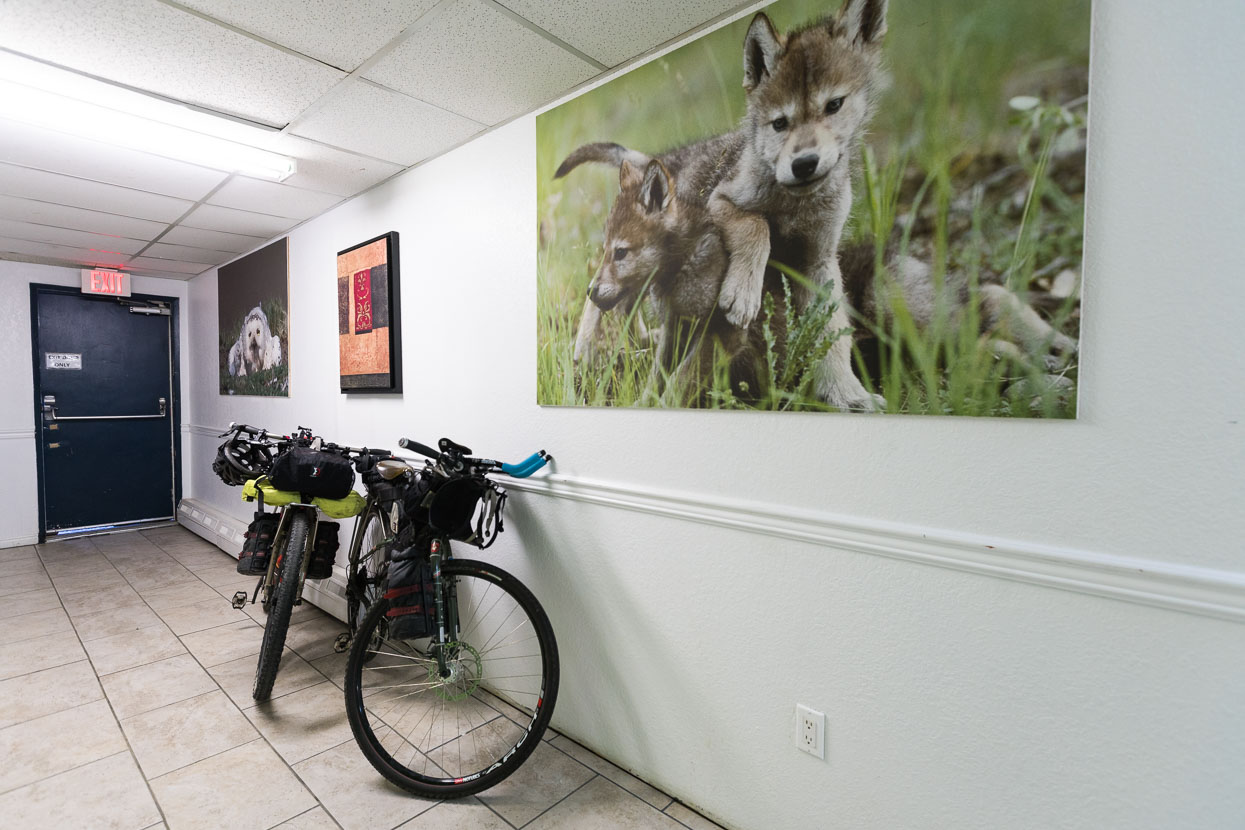
We’ve rarely had a roof over our heads since the start of the tour so book into a hostel for a couple of nights. Our local friend Karl (right) works as a ranger in nearby Tombstone State Park. We met him in New Zealand while he was on a cycle tour there with partner Holly, who we’ll catch up with in Whitehorse – four day’s ride away.
Alex (left) is also en-route to South America by bike.
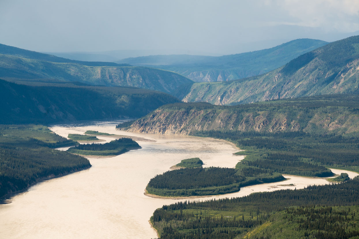
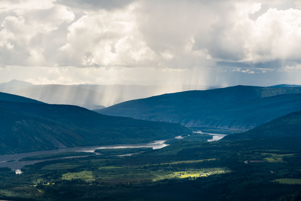
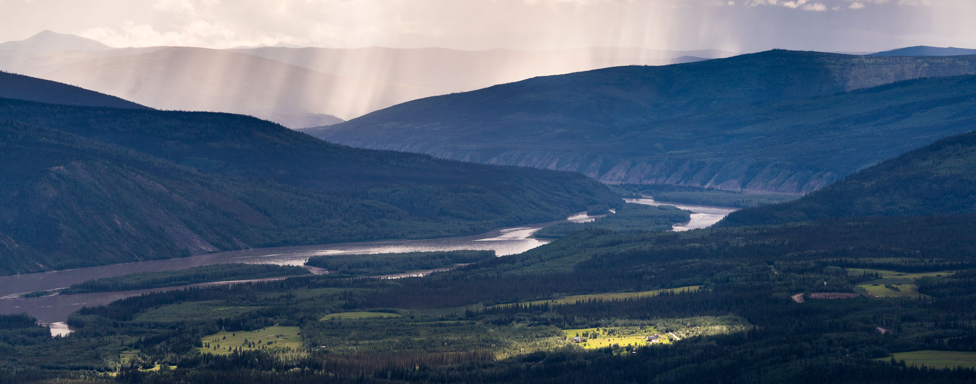
Karl drove us to a viewpoint above Dawson City. Below, the Yukon makes its slow paced passage through a land known as Beringia – the great mammoth steppe that stretched from here to Siberia. This region of continental high country, linked at one time by the Bering land bridge, remained mostly unglaciated due to its very dry climate. Back on our bikes the next day, it takes the form of a great rolling landscape; like the swell of the waves of a giant sea. Our road, often straight, courses onwards, up to the top of a big roller, before we coast briskly down the other side, sometimes assisted by a fresh tailwind.
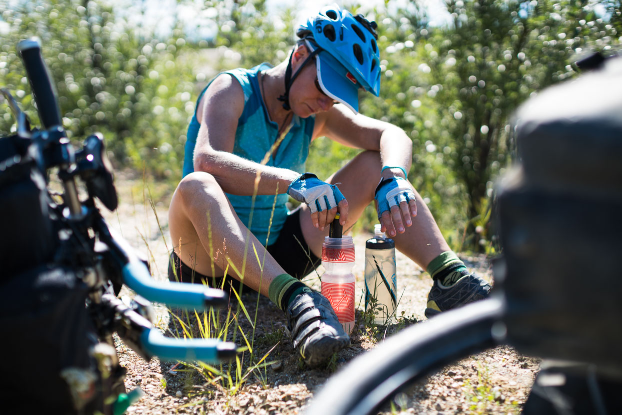
Hana and I are on our own again: Rik has teamed up with Alex so we go our separate ways for the long, straight stretch to Whitehorse (three and a half days). We usually carry a full bike bottle of water each, with about another litre in a water bladder. When this runs out we fill from streams (if tap water unavailable) and purify with Steripen UV treatment, which is efficient and portable. We have recently upgraded to the USB rechargeable version, after 10 years of service from this original one.
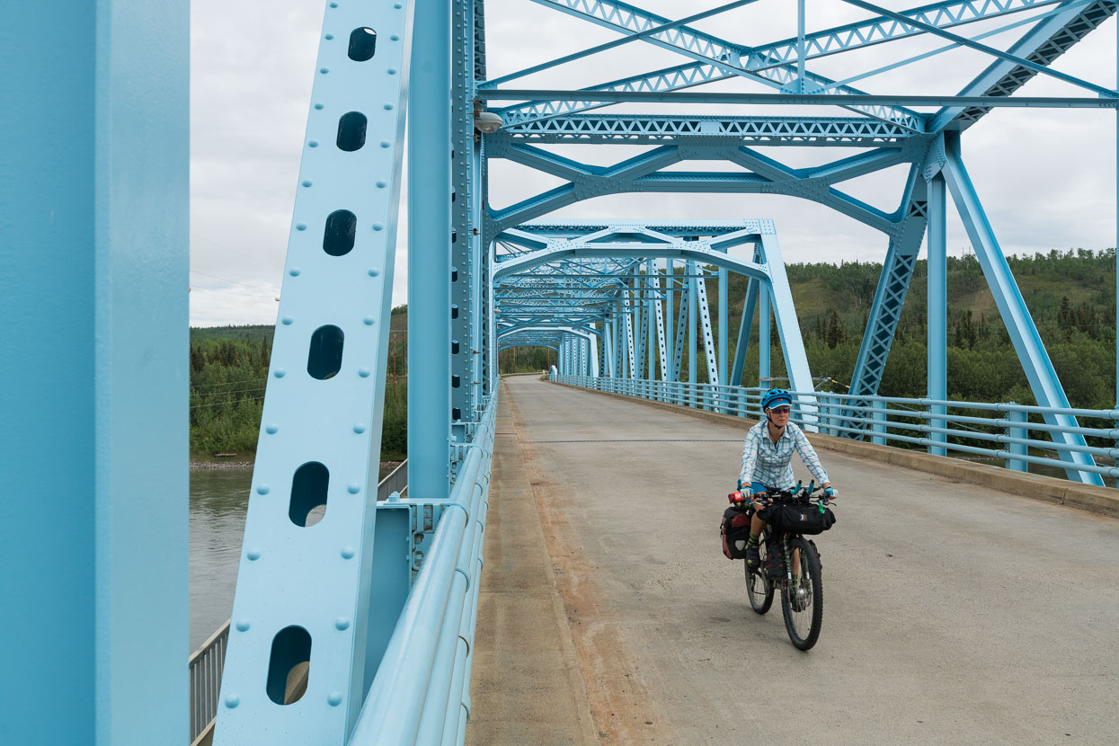
Blue on Blue. Pelly River bridge.
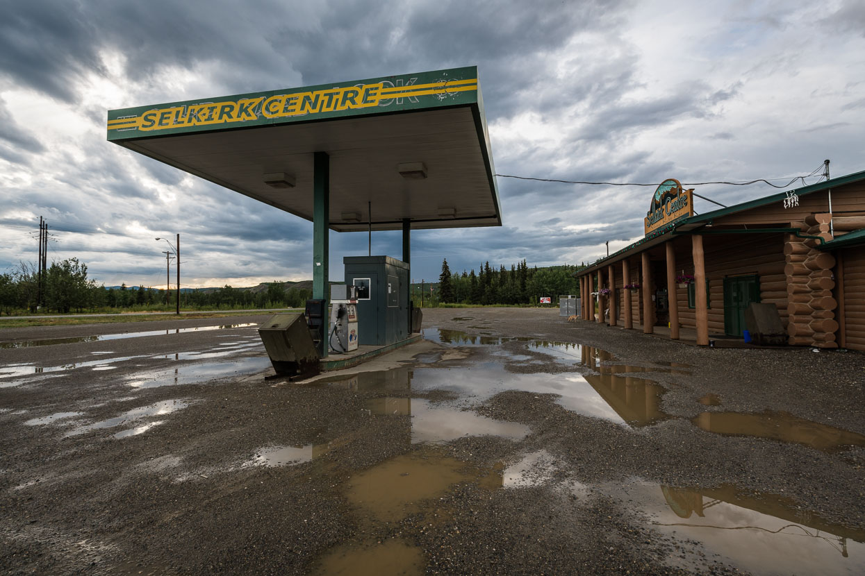
The ride south from Dawson City to Whitehorse is the most repetitive of the trip so far. Mixed spruce forest flanks the highway, and the topography is gently rolling and mostly unchanging. We ride well over 100km each day, sometimes chased by thunderstorms and see the occasional roadhouse for a coffee stop. We camp in a dirt pull in on the first night, and the second arrive in Pelly Crossing, just ahead of a very heavy thunderstorm. After a full day of pedalling, the promise of a ‘town’ can be exciting – perhaps some bakery snacks, or a burger for dinner. As with many of the stops in Alaska though, Pelly Crossing was simply a gas station with a very limited selection of groceries, and a small, mostly First Nations population. A run down, free campsite over the road provided a stop for the night.
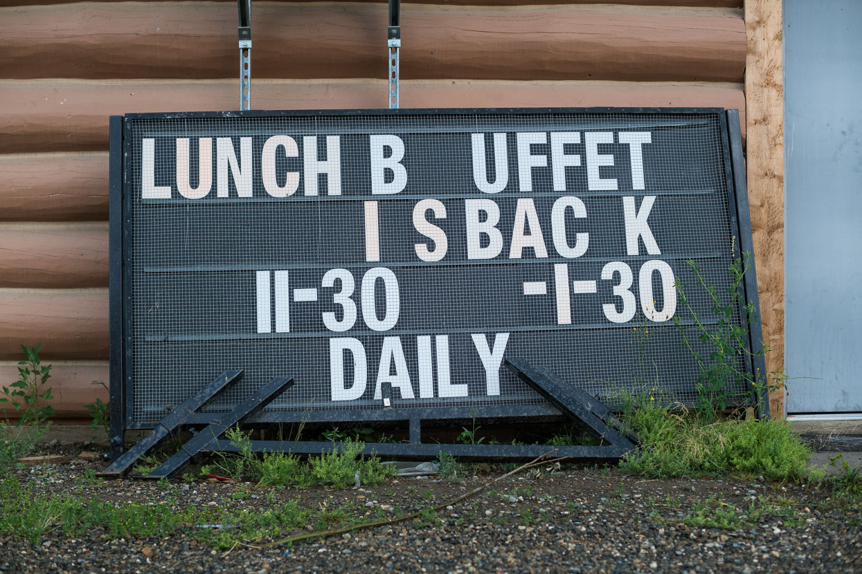
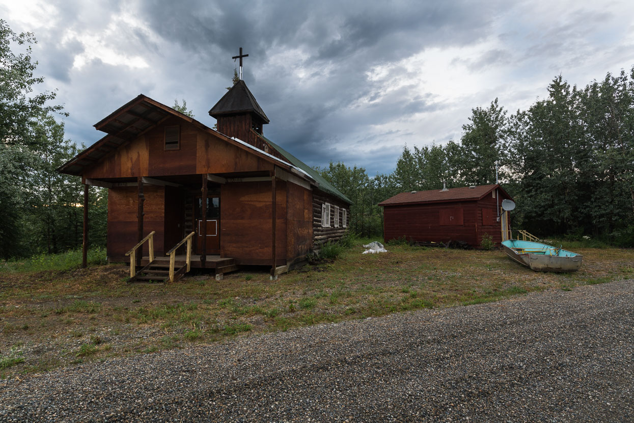
After the thunderstorm ran its course I went for an evening wander around the township.
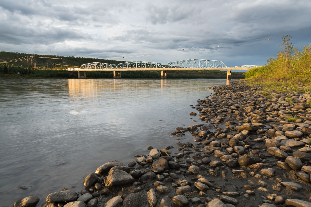
Pelly River bridge from the campsite. It was the hunt for gold that forced these remote highways north and the current Klondike Highway parallels much of the original gold route. Bridges now replace the ferries that once crossed these formidable rivers.
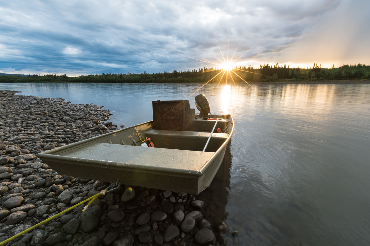
Pelly River and the setting sun at 9.40pm.
It’s now nearly dark at night, but not quite. We’ll miss the novelty of 24 hour daylight.
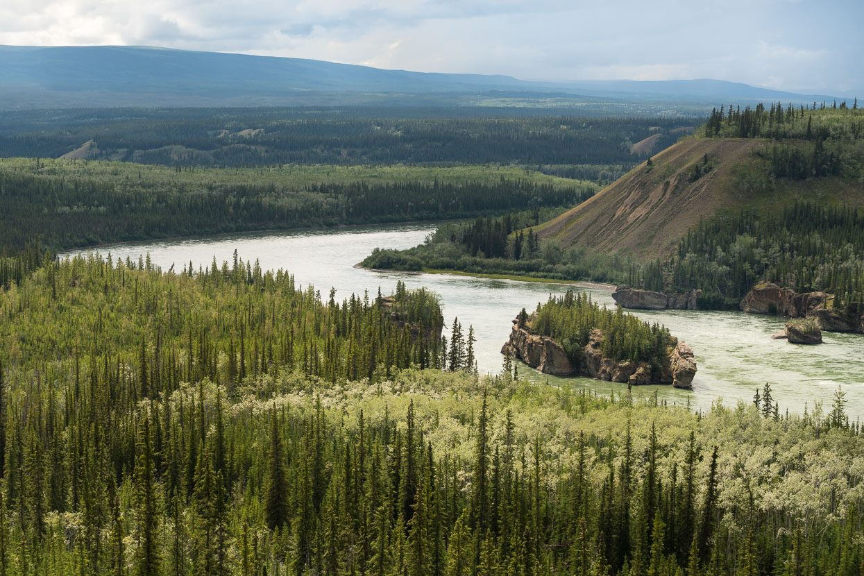
Between Pelly Crossing and Carmacks the Klondike Highway nears the Yukon River for a time. This section, Five Finger Rapids is referred to in Jack London’s ‘Call of the Wild’.
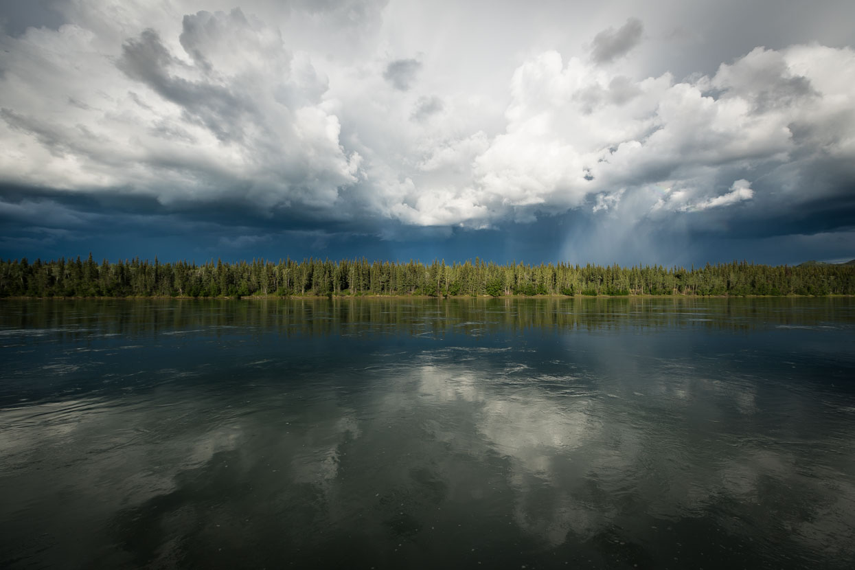
A thunderstorm brews beyond the Yukon River at Carmacks, another small town along the highway. The river is a couple of hundred metres wide at this point, dead flat, deep and swiftly moving. We camped a stone’s throw from the banks in a small privately run campground.
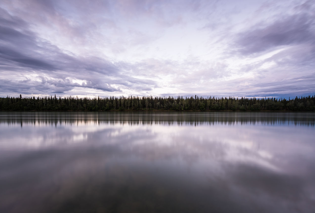
Yukon River at Carmacks, 11pm in the evening (20 second exposure).
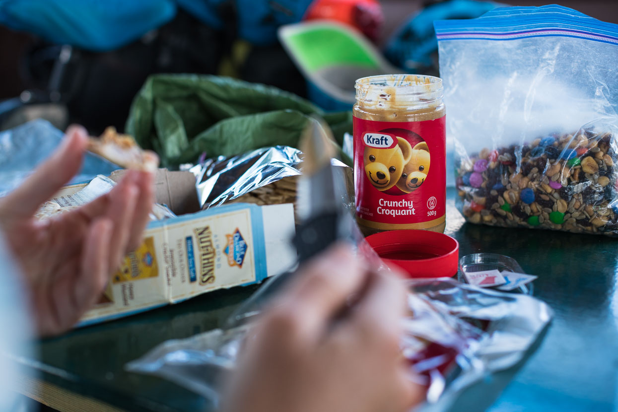
Peanut butter’s become one of our lunch staples: tasty, high calorie, inexpensive and goes with everything.
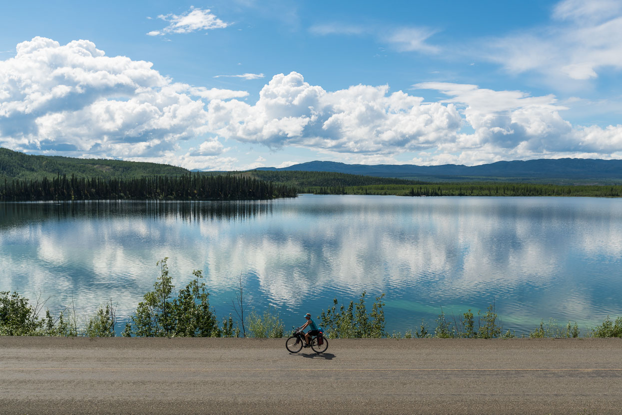
Closer to Whitehorse some pretty lakes finally break the monotony of the view. The flat to rolling ride and hot weather has had us squirming in our seats: even top quality padded shorts and Brooks saddles aren’t a panacea when you’re sweating all day. Regular application of our Biomaxa chamois cream helps a lot.
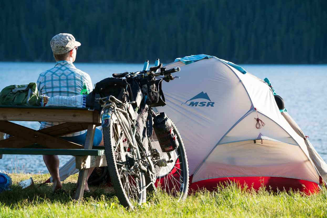
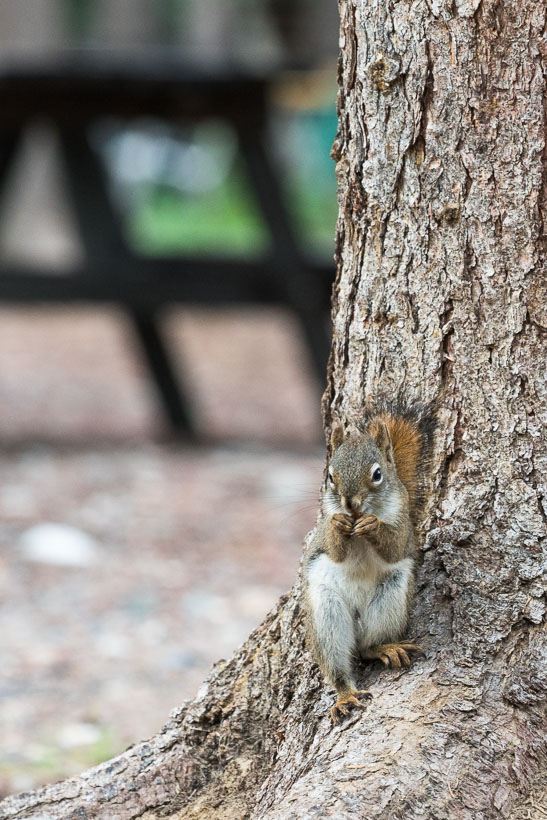
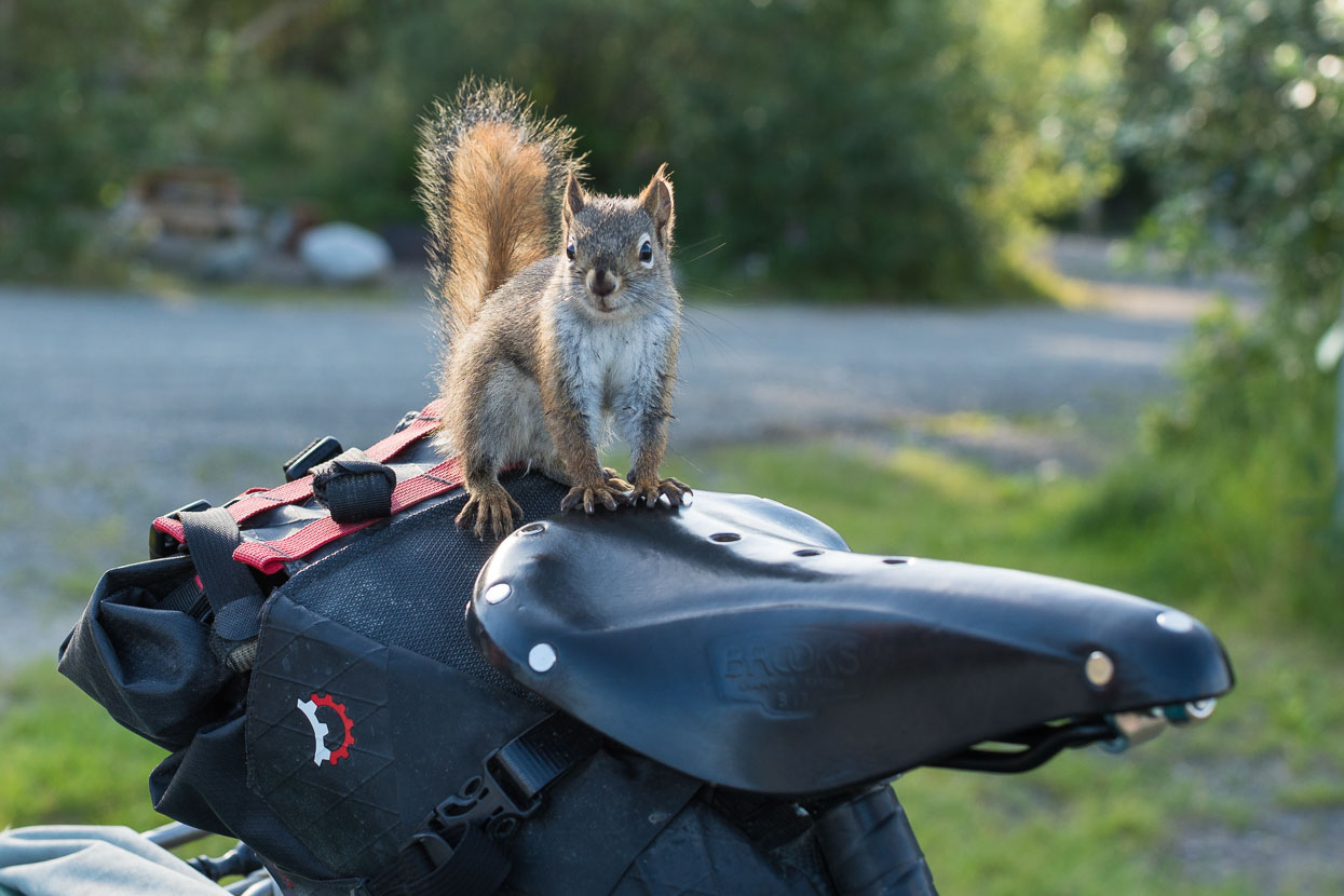
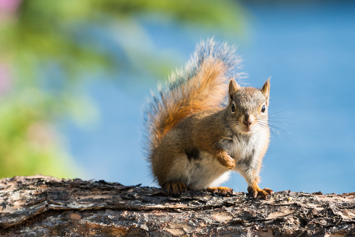
We end the penultimate day to Whitehorse at the Fox Lake campground – a beautiful spot: grass to pitch the tent on and a lake that’s warm enough for a dip. Really good campsites have been a rarity so far; so to have a picnic table, grass and a lake is luxury in cycle tourist terms. Some cheeky squirrels keep us entertained too.
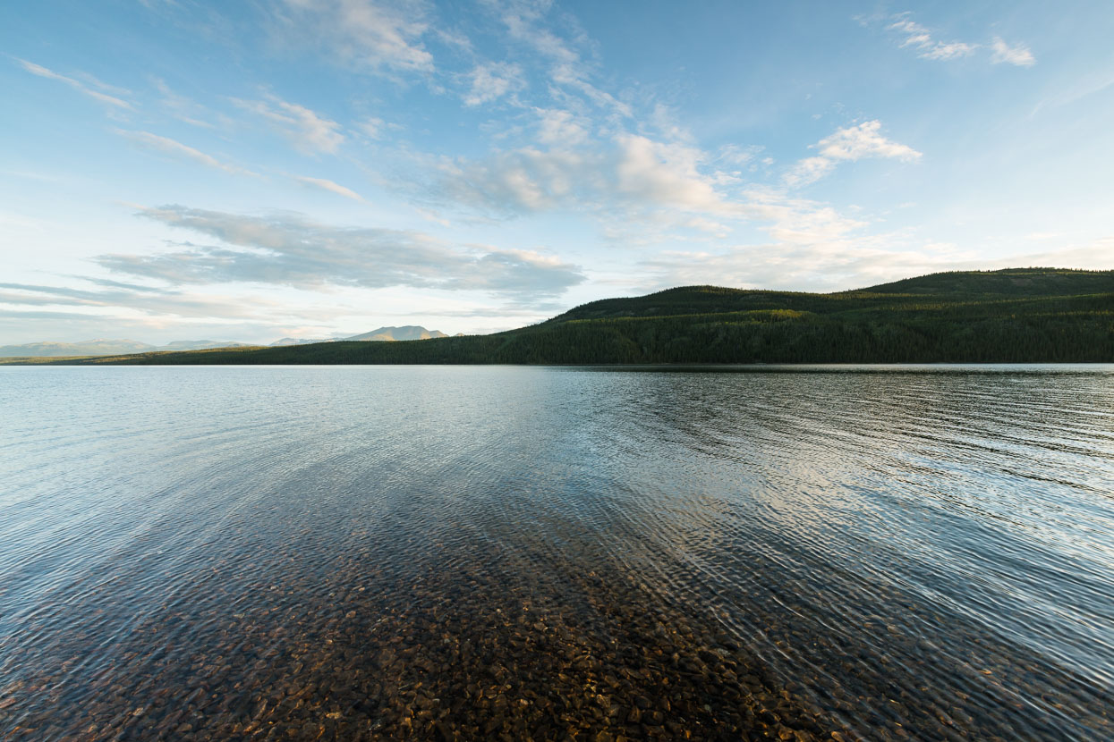
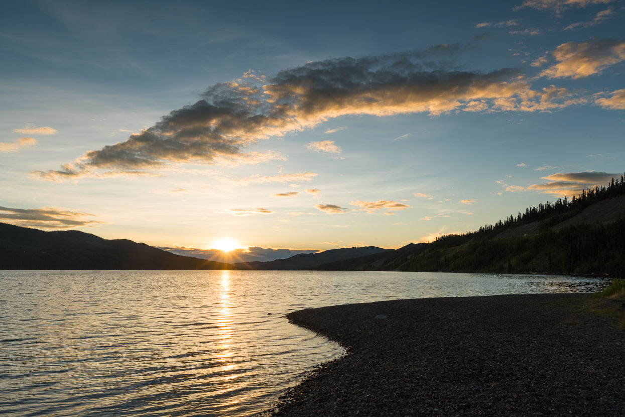

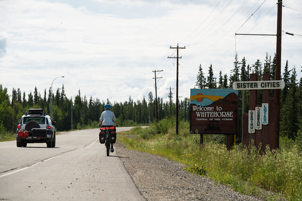
Our excitement arriving at Whitehorse is palpable: it’s the biggest centre we’ve been to in weeks (since Fairbanks) and we’re looking forward to staying in a real house. After days of seeing tiny towns and little infrastructure the change feels significant: humanity has a greater grip on the land here and we’re almost startled to see modified land and horse paddocks.
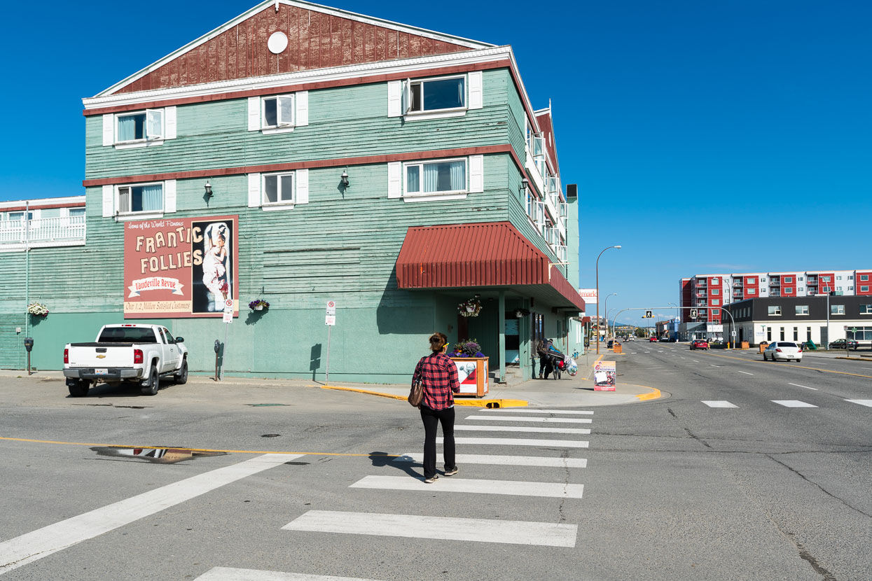
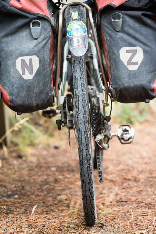
We take three days off, resting, catching up with blog and computer work and changing our knobbly tyres over to skinner slicks for the predominantly sealed road ride onwards through the Yukon and BC to Alberta.
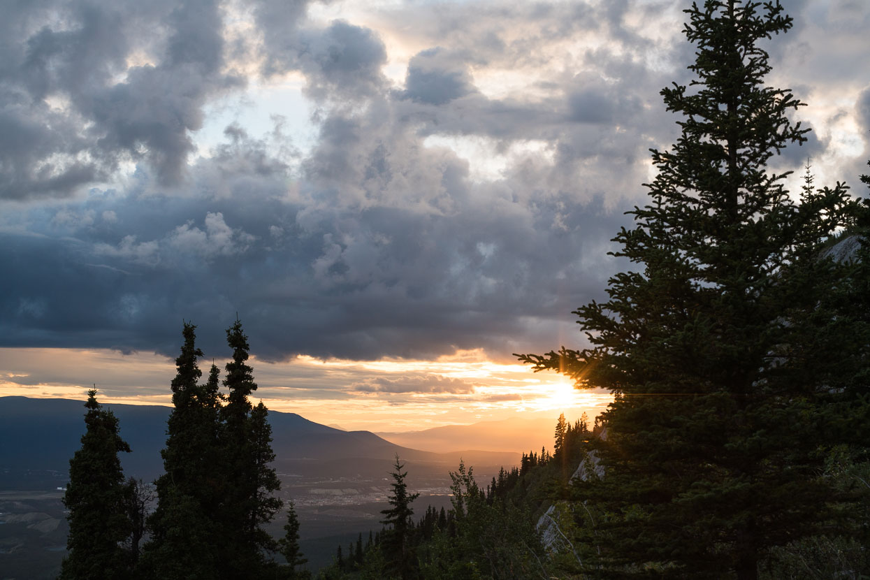
We stay with Holly (Karl’s partner). They’re an avid outdoor couple who we met while they were biking in New Zealand. In 2015 they rode from Whitehorse to Panama, so it’s also a good opportunity to get some beta for what lies ahead. The Whitehorse basin is surrounded by karst, and we get out one evening with Holly and her neighbour Shawn for some cragging on one of the limestone slabs high above the city.
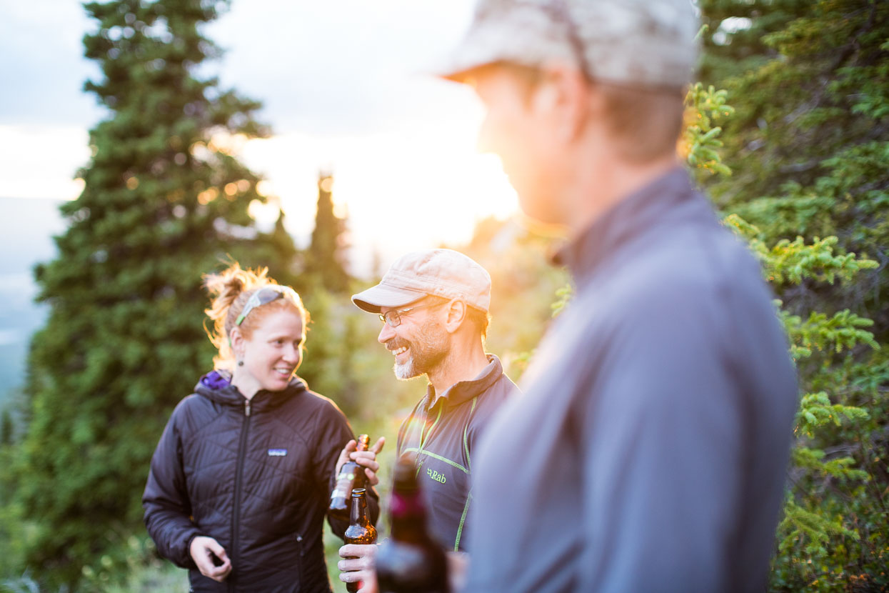
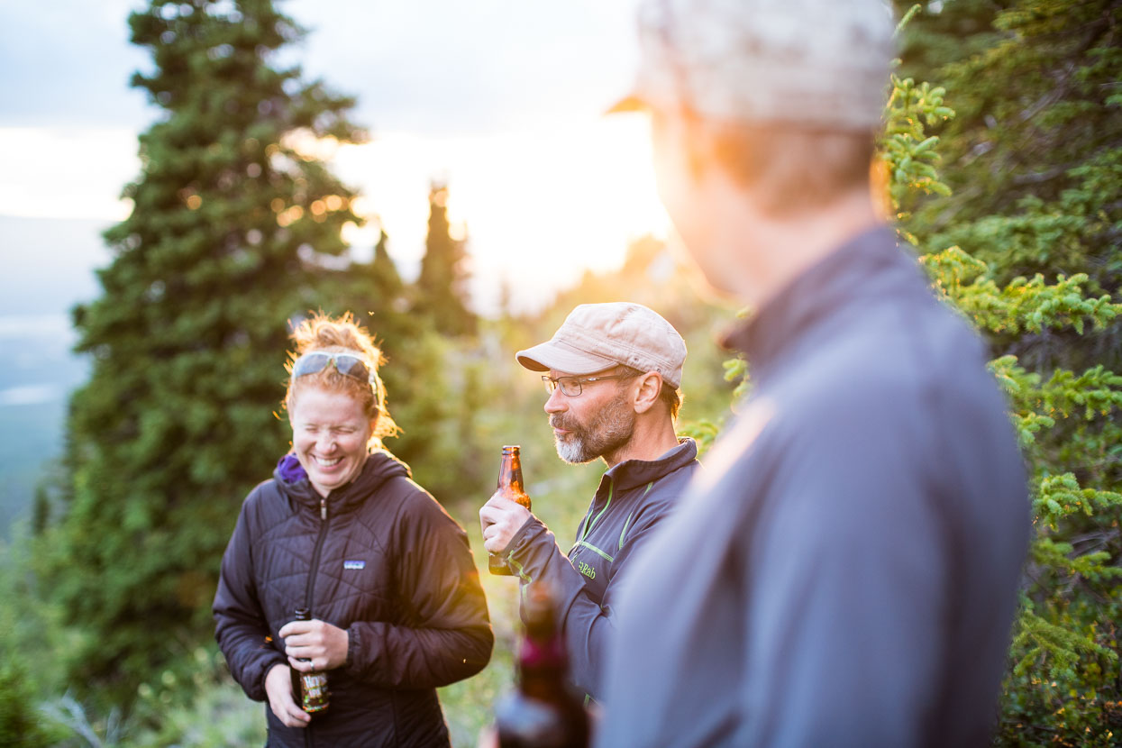
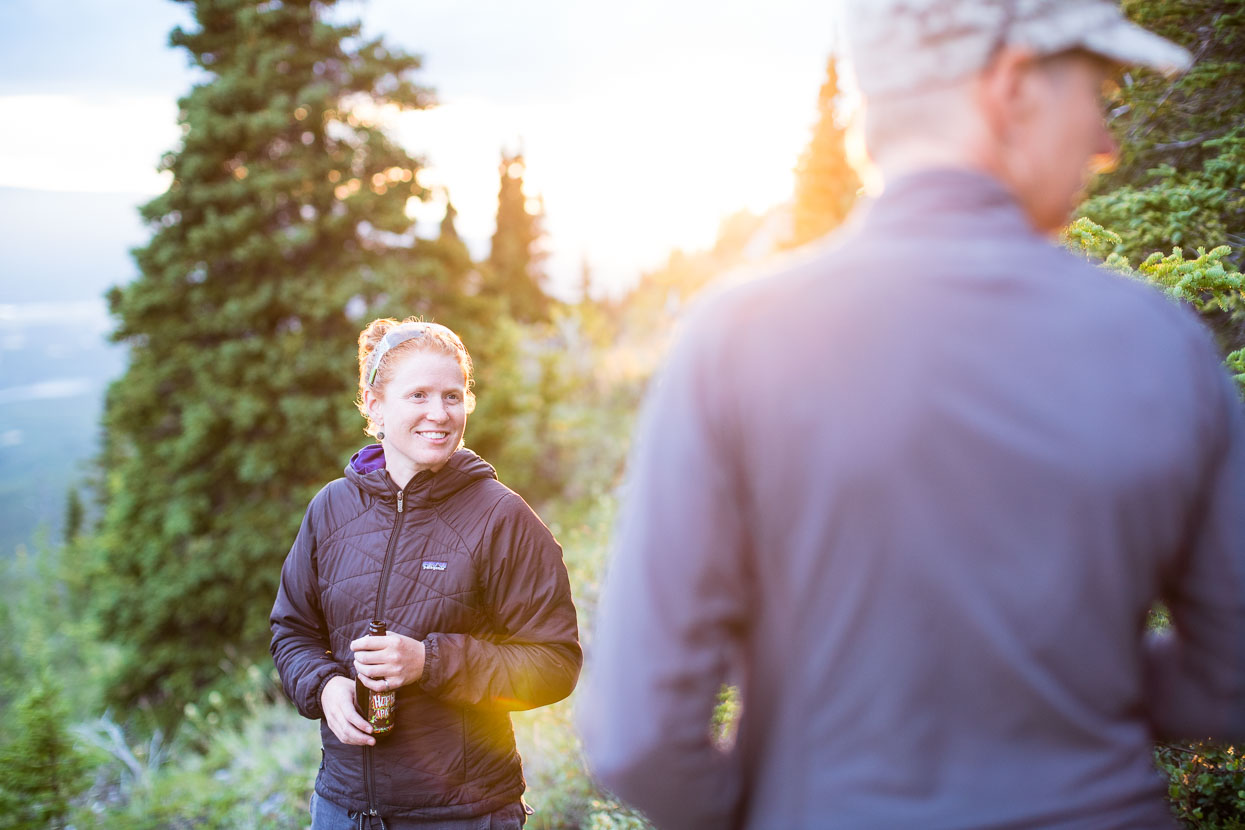
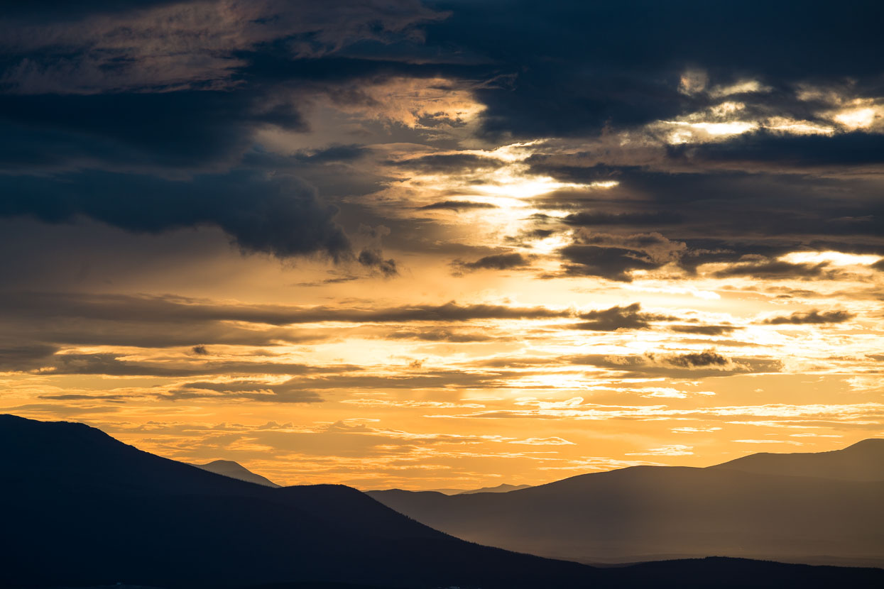
A fiesty sunset.
Leaving Whitehorse we are rejoined by Rik (our Dalton and Taylor Highway partner), it’s fun to have him back on board and we make good time down the Alaska Highway, riding in a paceline and taking 2-3 km turns on the front.
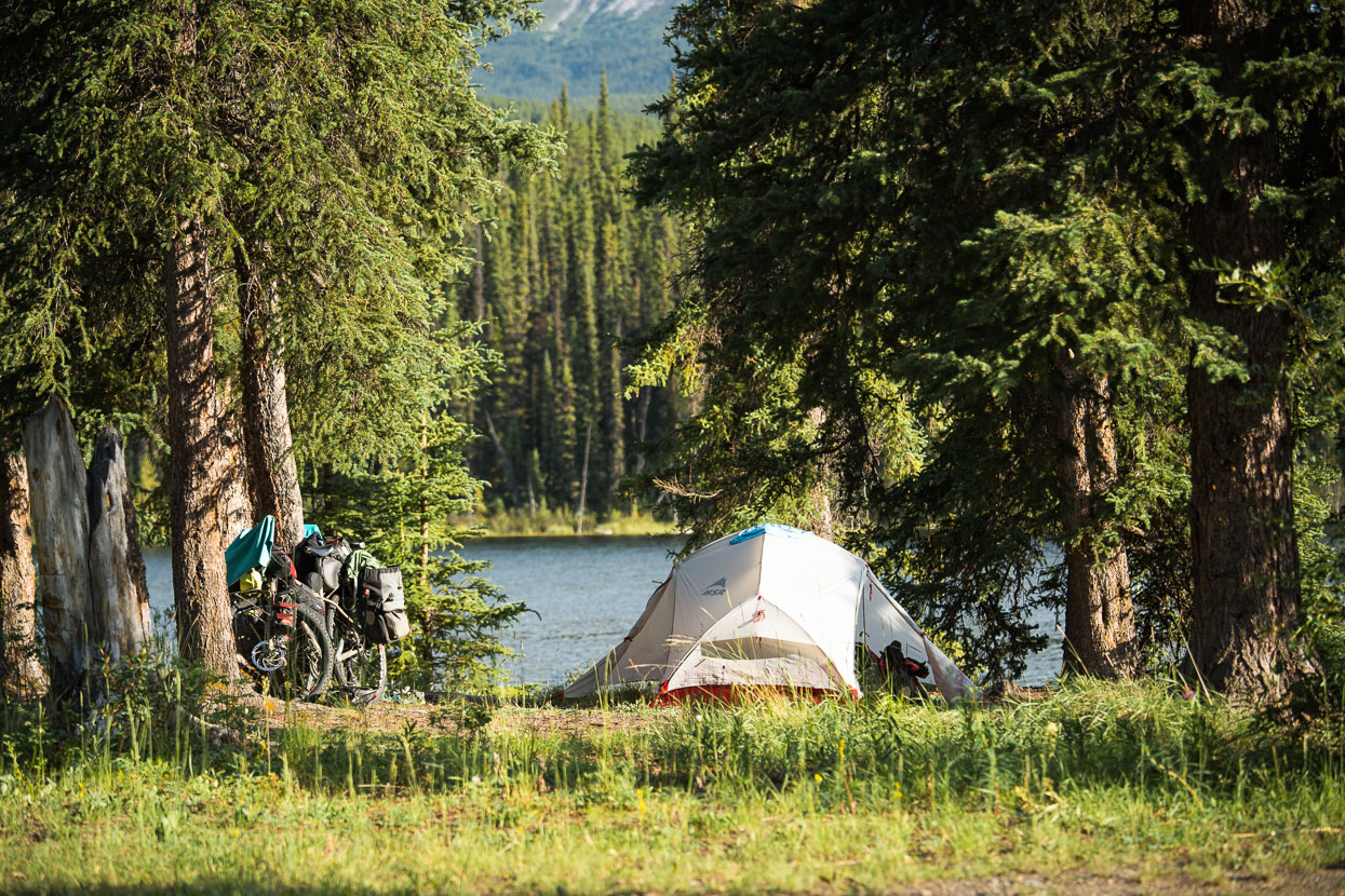
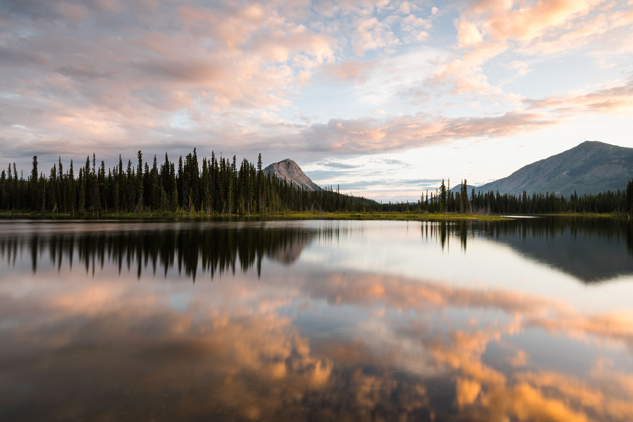 First night out of Whitehorse on the Alaska Hightway we’re treated to a great lakeside campsite, informal, with just a few people around to share it with. The water’s plenty warm enough for a swim, and lakeside camping and swims becomes the theme of our ride down the highway to Watson Lake.
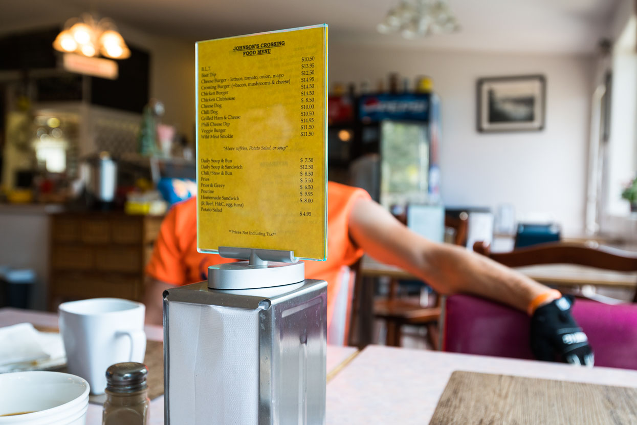
A roadhouse or two per day break the journey with burgers and coffee stops.
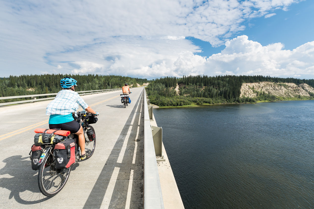
Crossing the Yukon River (again) at Johnsons Crossing.
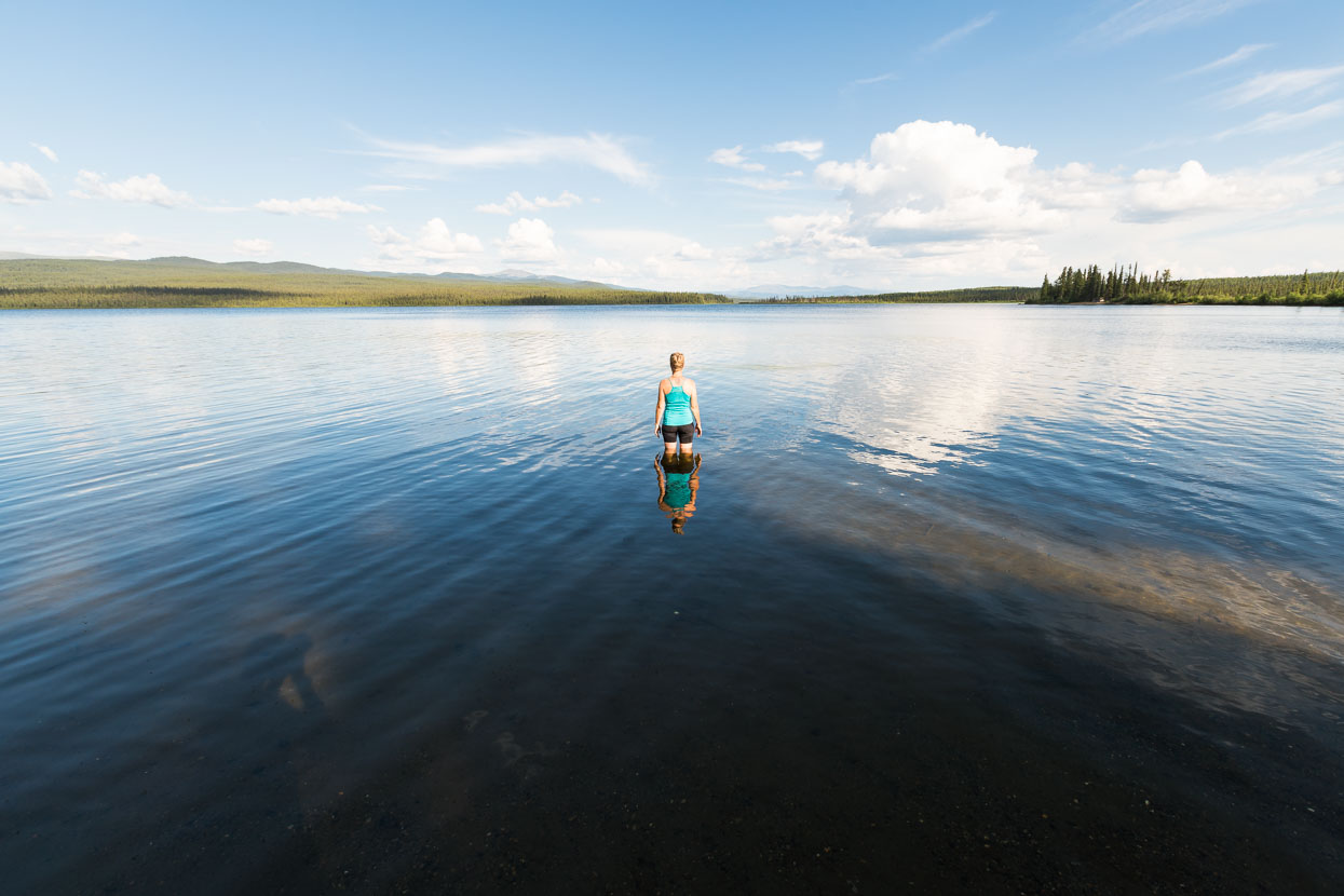
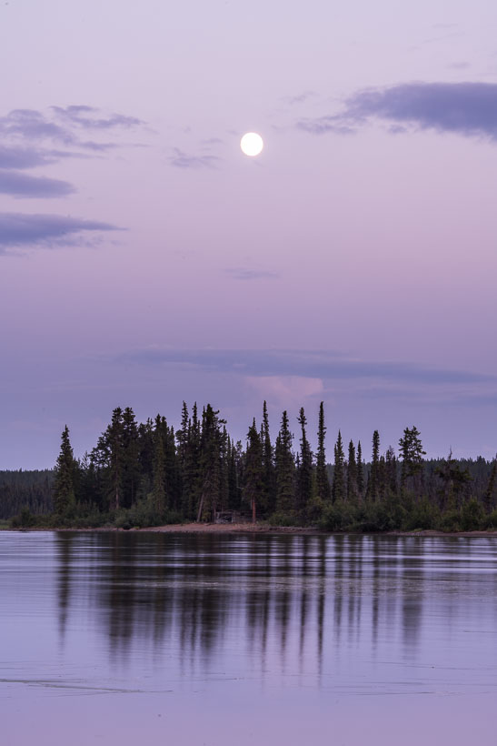
Morley Lake – another 120-odd km down the road made another great stop for the night. Warm, silky water and wide open views.
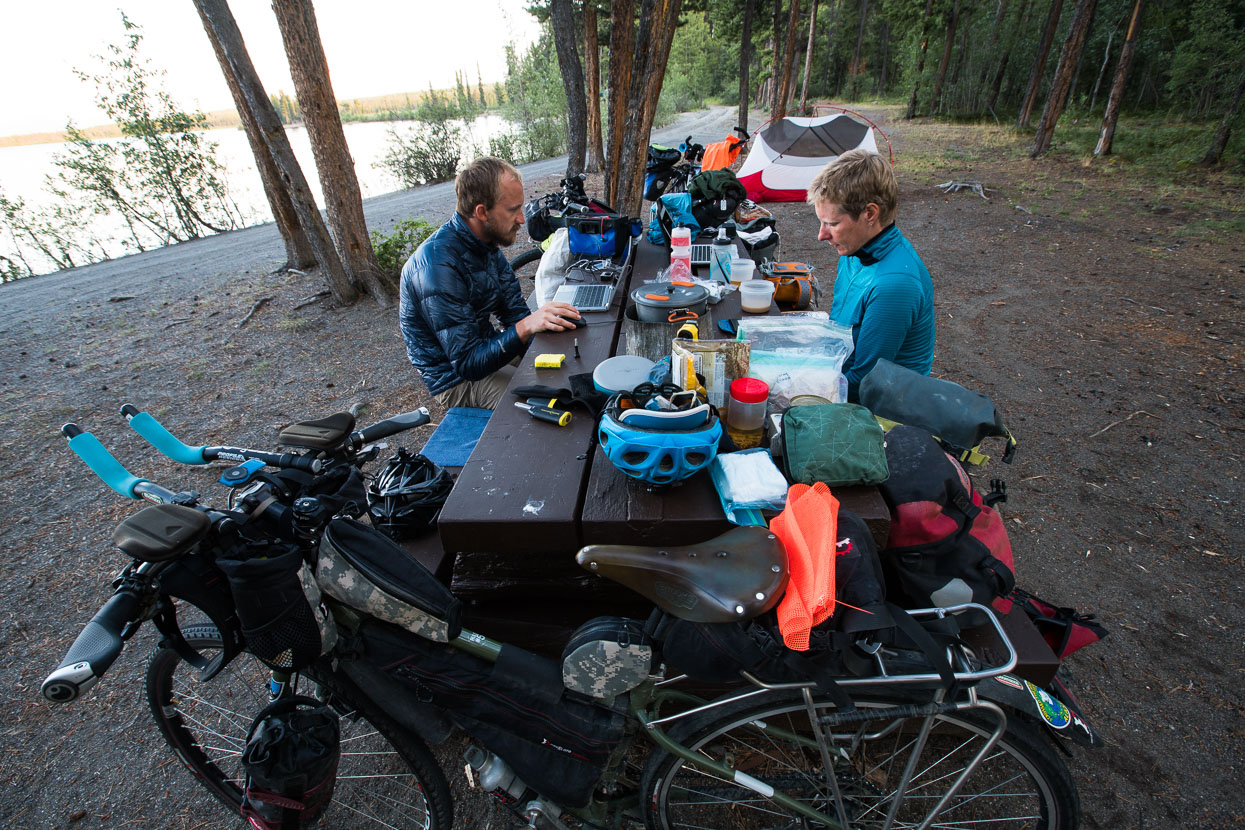
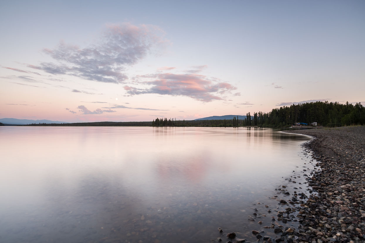
Evening at Morley Lake.
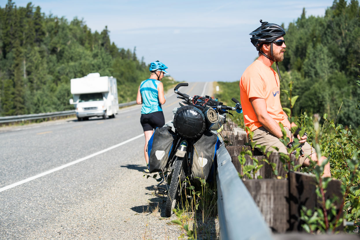
The great ALCAN, or Alaska Highway is the only continuous route north west, linking Alaska and Canada. Its planning was initiated during the heady days of 1941, after the Japan attack at Pearl Harbour and the US entrance into WWII. The threat of a Japanese attack on Alaska was quite real: they had occupied territory in the Aleutian islands – a possible toehold for an attack on the American continent. This threat necessitated a supply road. Construction started in 1942 and within 8 months a primitive road was in place. It linked a series of remote airfields (the Northwest Staging route) by traversing incredibly tough country: swamps, permafrost and consistently rolling country made considerable challenges. Over 11,000 US troops and 16,000 civilians worked on the project. These days it’s a smooth sealed highway and a bucket list trip for many people.
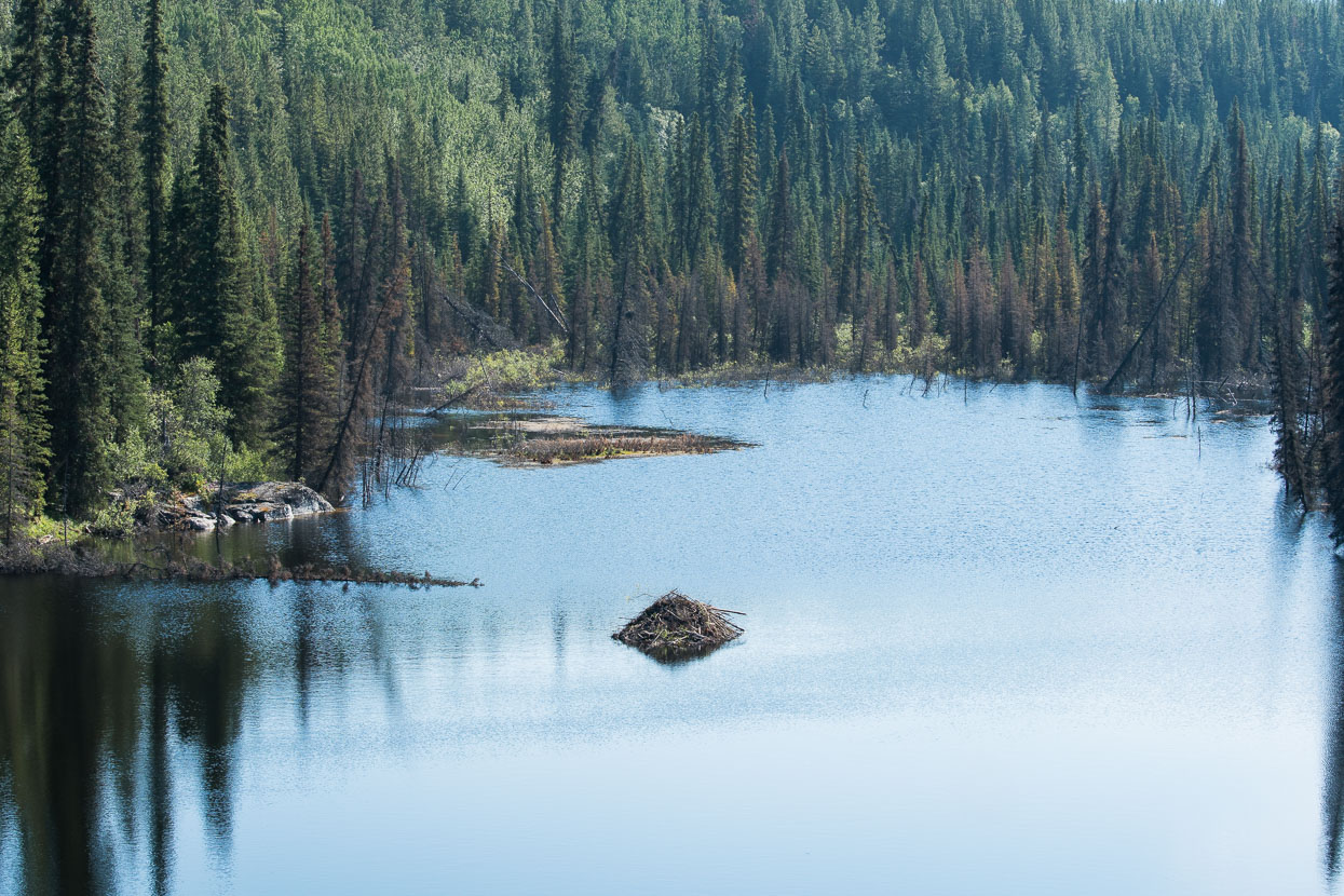
Beaver lodge spied from the highway.
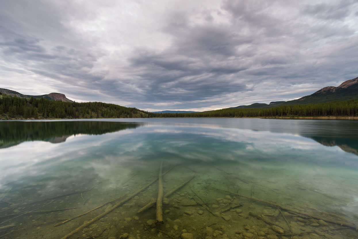
Another great informal lakeside camp for the night at Veronica Lake, one day from Watson Lake.
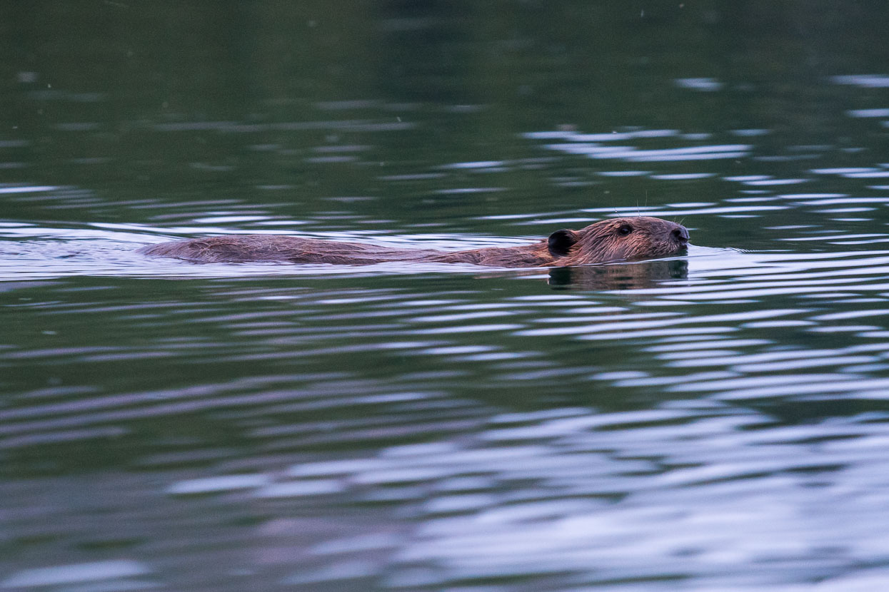
Complete with busy beavers.
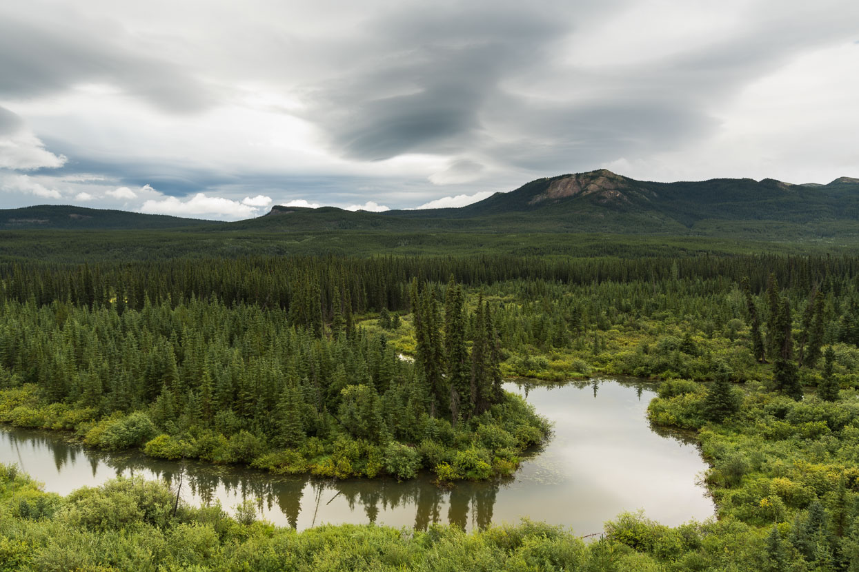
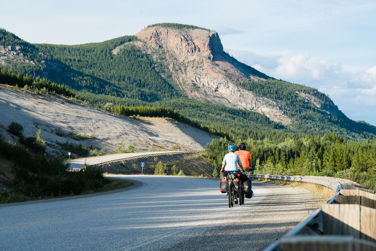
Landscape just south of Veronica Lake, Alaska Highway.
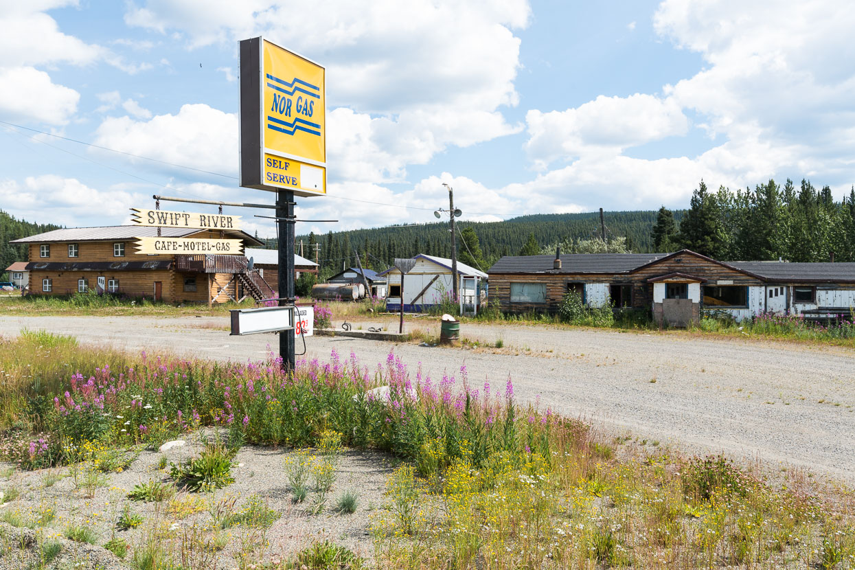
Alongside the highway a few roadhouses prevail, many at the sites of previous construction camps. But for every survivor there seemed to be one abandoned.
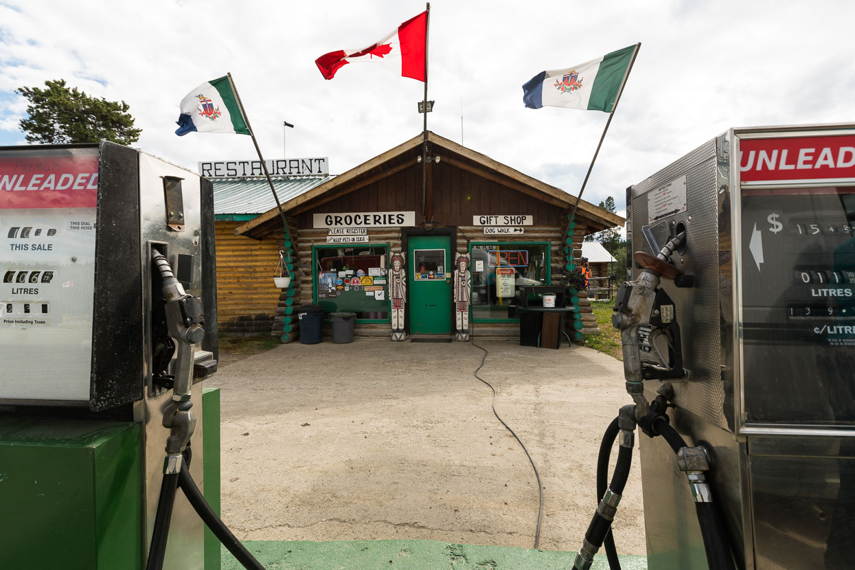
For us the open ones were a welcome treat away from the steady pedal down the highway.
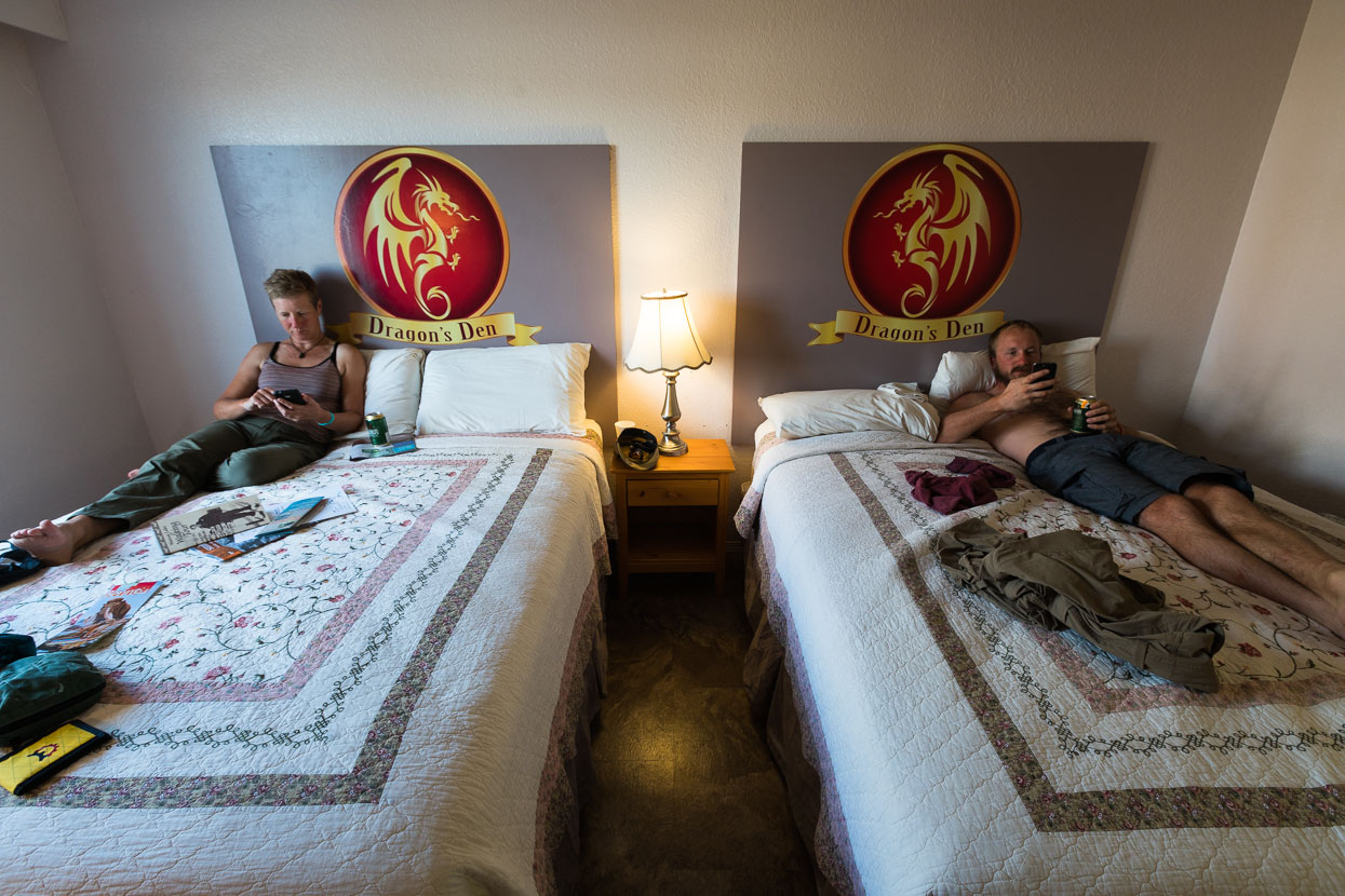
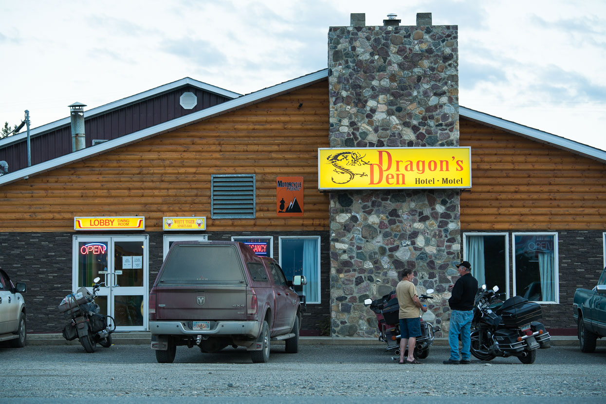
We were met with a cold reception at the Watson Lake RV park ‘no camping – RVs only’ by an incredibly rude proprietor, so we ended up sharing a room with Rik at Dragon’s Den for two nights (we all needed a rest day). It’s a rarity for us to pay for a room – only the second time since leaving Deadhorse, so it was a relatively luxurious prospect; except the wifi didn’t work most of the time and they ran out of hot water!
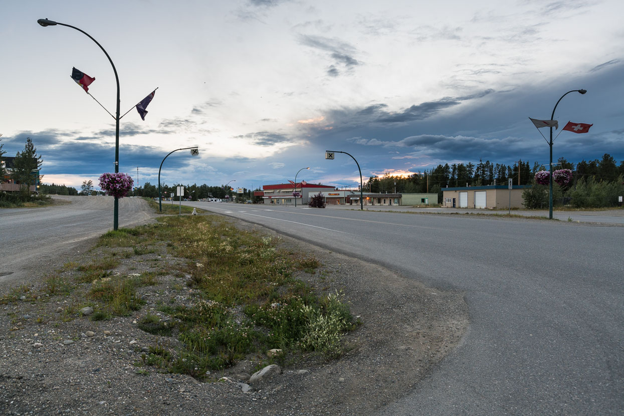
Watson Lake, not too much to write home about, but the library had good wifi. A recent brutal murder there seemed to have thrown a pall over town.
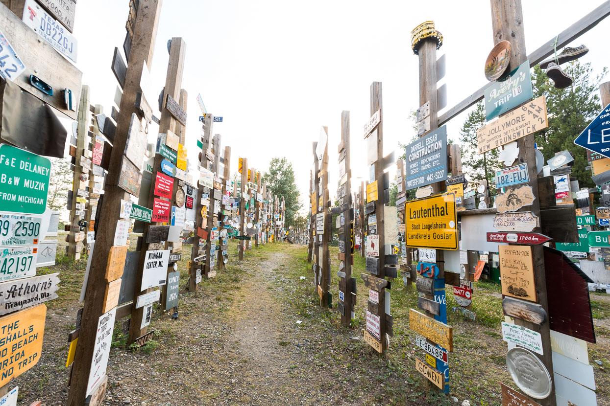
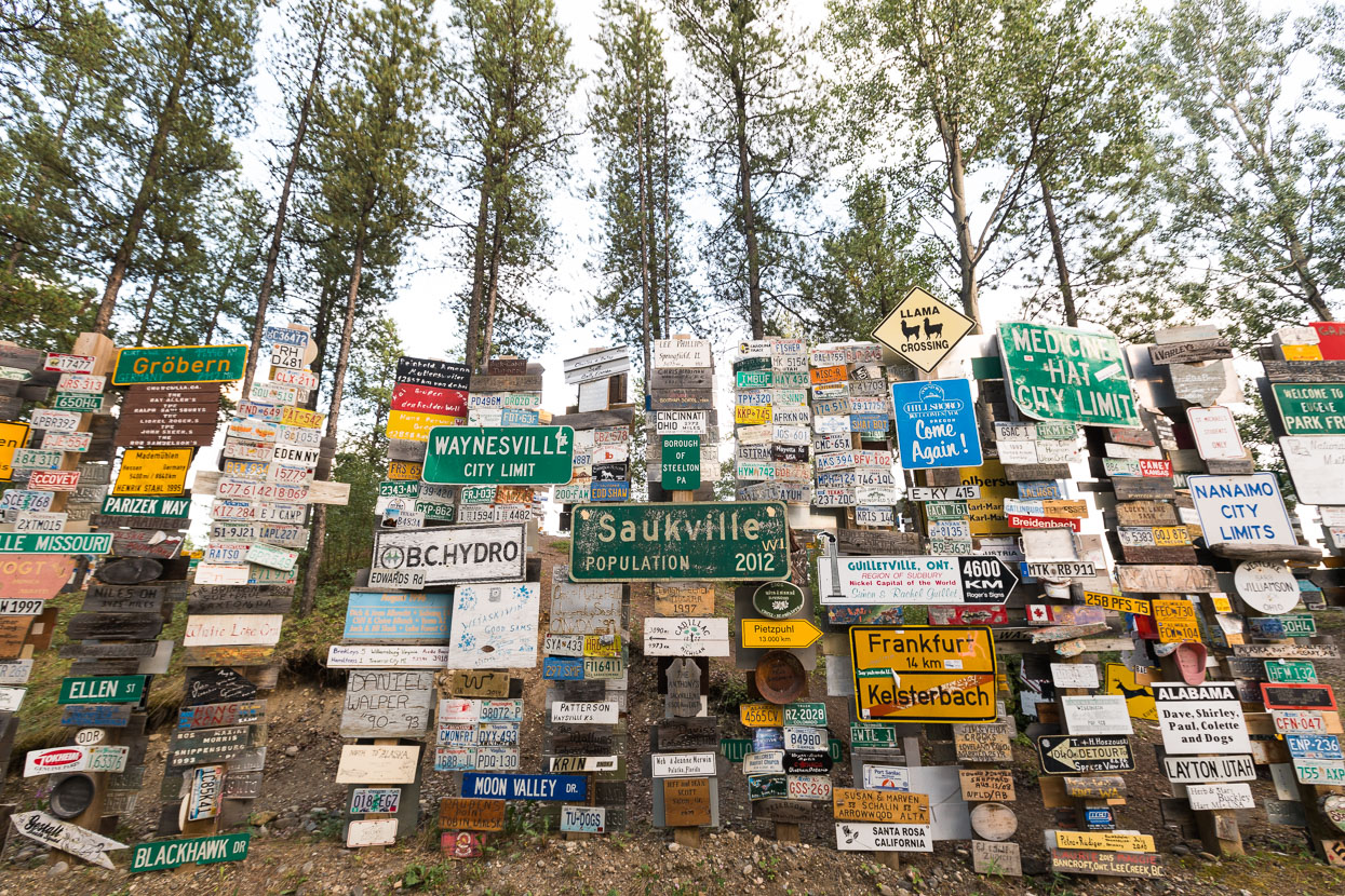
Watson Lake is famous for its sign forest, containing thousands upon thousands of signs from all over the world, with people contributing their own home made ones daily during the summer.
Coming up next: the Stewart Cassiar Highway!



Epic Shit!