From Denali National Park onwards the road ahead for us was obvious: the Denali Highway. This 217 km dirt road follows high glacial outwash plains and the Alaska Range foothills. The highway was formerly the only road access to Denali National Park prior to the construction of the Fairbanks to Anchorage (George Parks) Highway, and features on many ‘America’s most scenic roads’ lists. The road promised a respite from the RV traffic of the main highway and would conveniently take us in an easterly direction towards the Tok Cutoff – our planned route towards Tok and the Canadian Border.
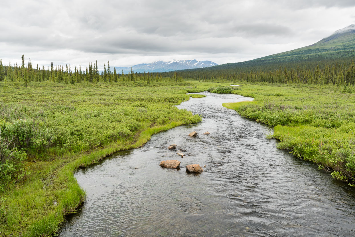
Alaska is synonymous with wilderness and my most lasting impression of cycling in this state will one of riding through spaces that seem infinitely vast. For one used to the ‘New Zealand’ scale of things, it’s hard to get your head around sometimes: that either side of the road one can walk into the hills and see no permanent signs of man for hundreds – sometime thousands – of kilometres. It’s taking us a long time to get used to looking out from the highway and not seeing infrastructure, farms or other roads. We only had to cycle a short distance from the relatively busy George Parks Highway onto the Denali Highway to be reminded how unbridled this wilderness is.
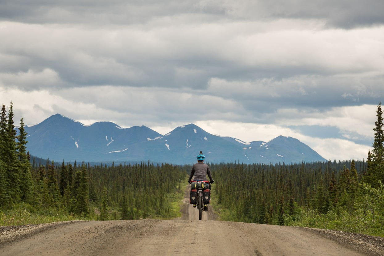
Just us and a dirt road again, and the occasional camper van.
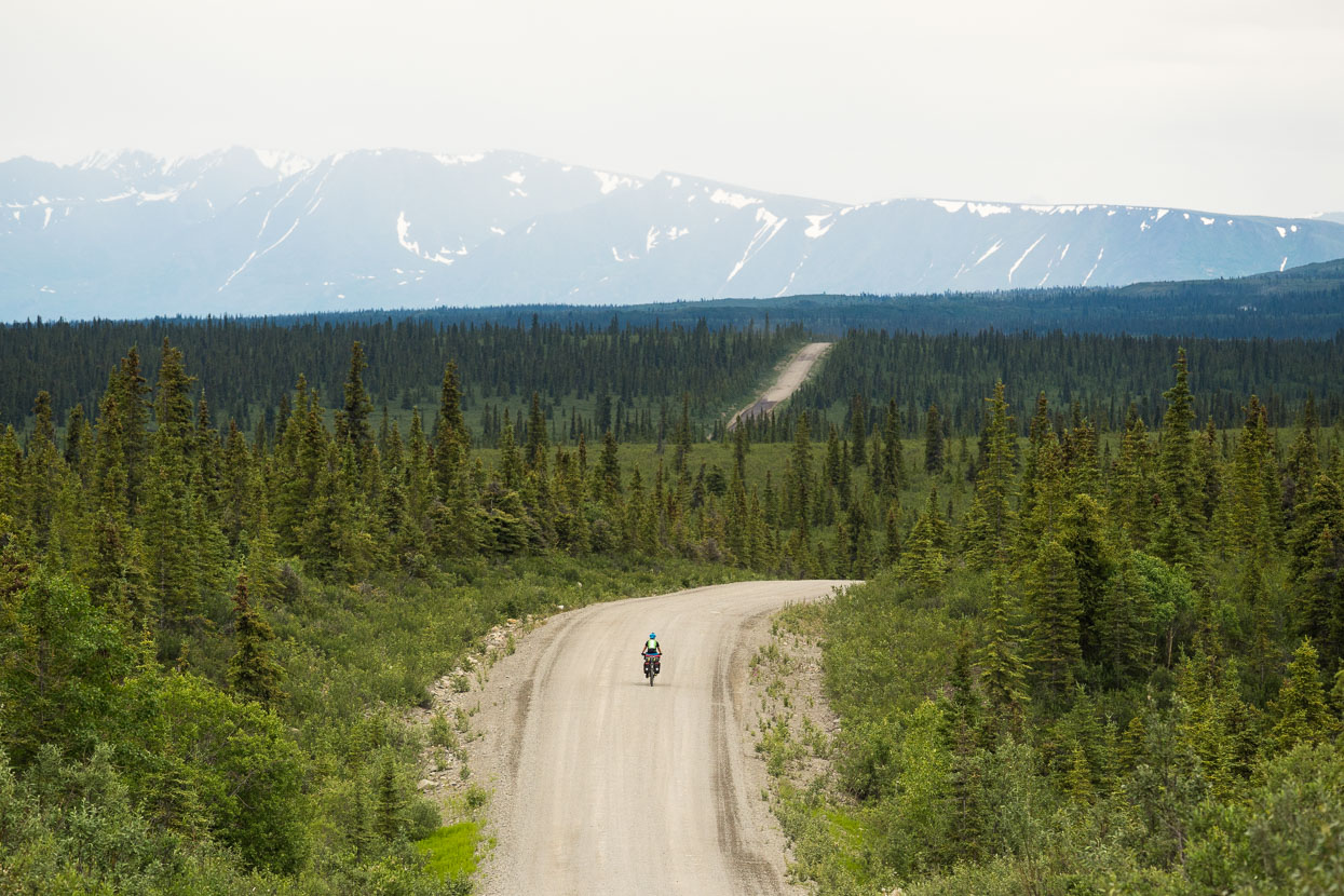
A rolling road through the boreal forest. The short growing season and permafrost of these latitudes keeps the trees small.
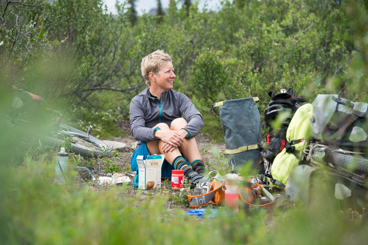
Lunch is usually eaten on the roadside: sometimes at a picnic area, sometimes on the most attractive patch of dirt we can find.
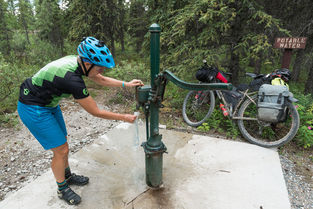
We collect water from an official camping area, pumping it from a deep bore, but it’s only early afternoon so we press on aiming for a series of ‘informal’ roadside pull ins described in the Milepost publication.
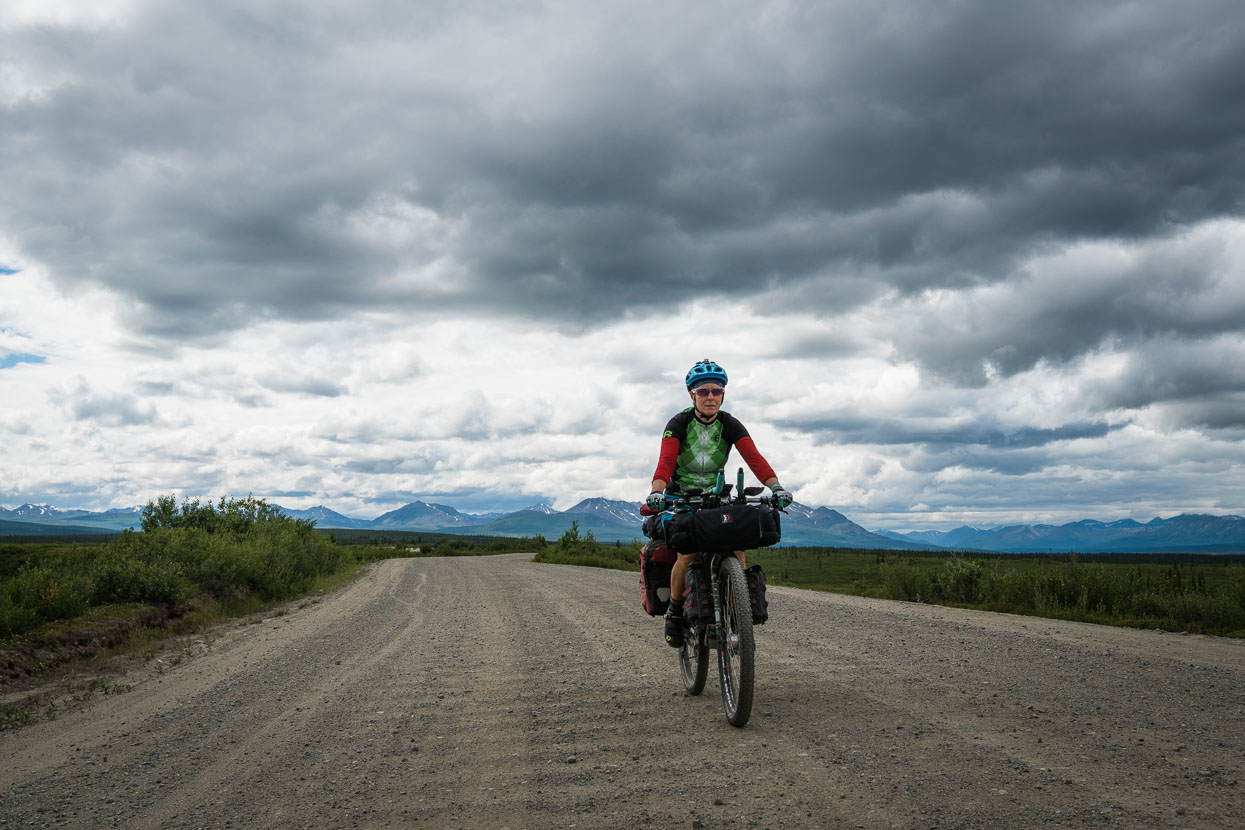
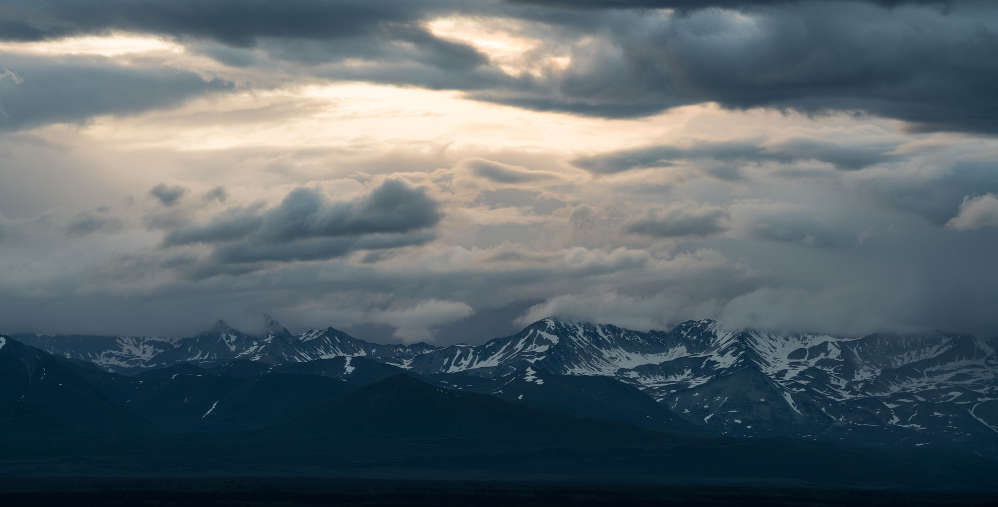
Once again we’re under moody skies.
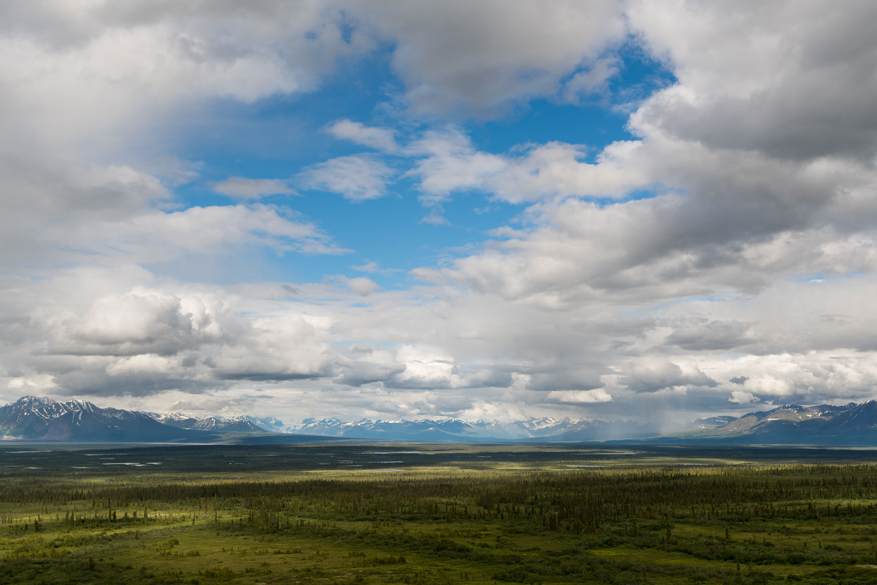
Sweeping views towards the Alaska Range from the high ground followed by the road.
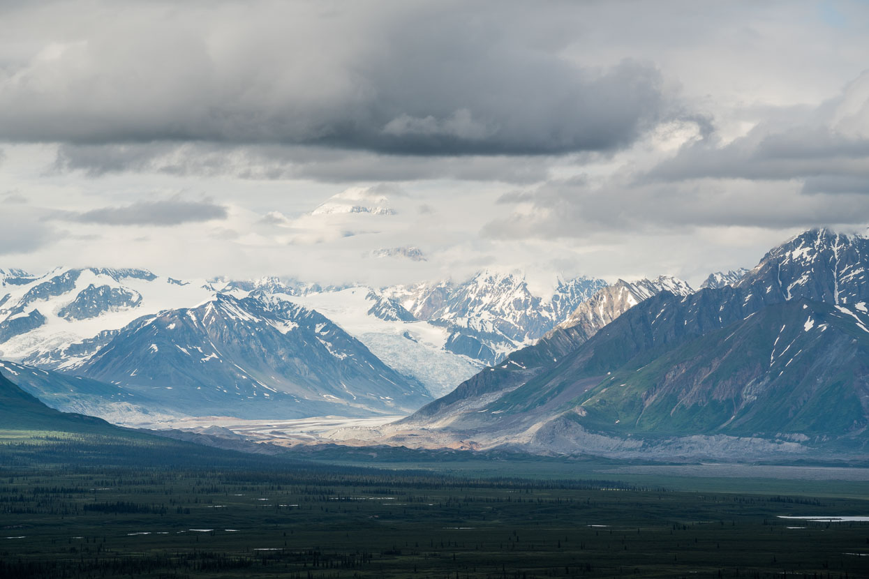
A 200mm lens brings the glaciers a little closer.
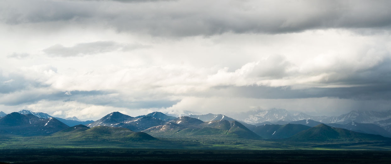
A geological epic told by the range’s shapes.
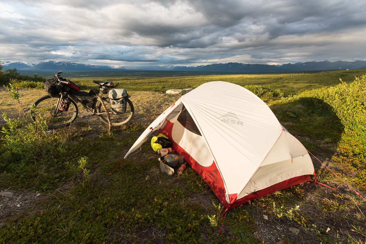
Camp for the night is by a small lake, just a stone’s throw from the highway but with a grandstand view of the broad valley beneath.
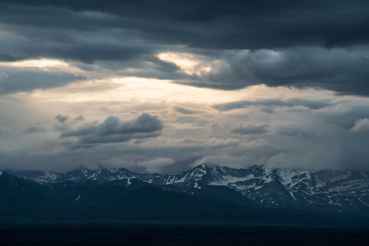
We want more, but the mountains remain wreathed.
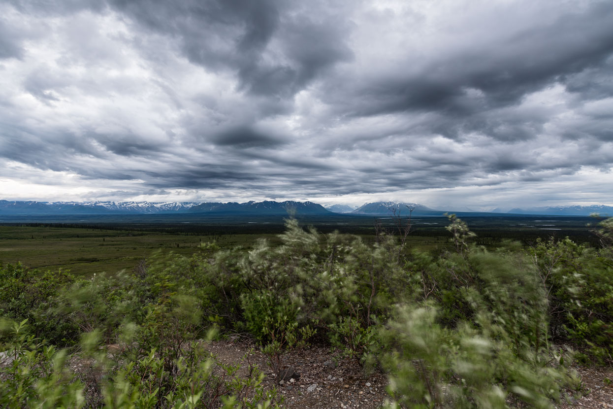
Midnight brings not a hint of colour to the sunset, just a blustery wind and a slightly darkening sky.
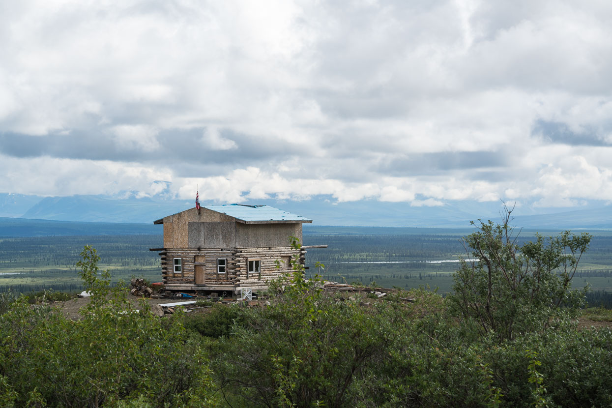
Holiday home or abandoned dream?
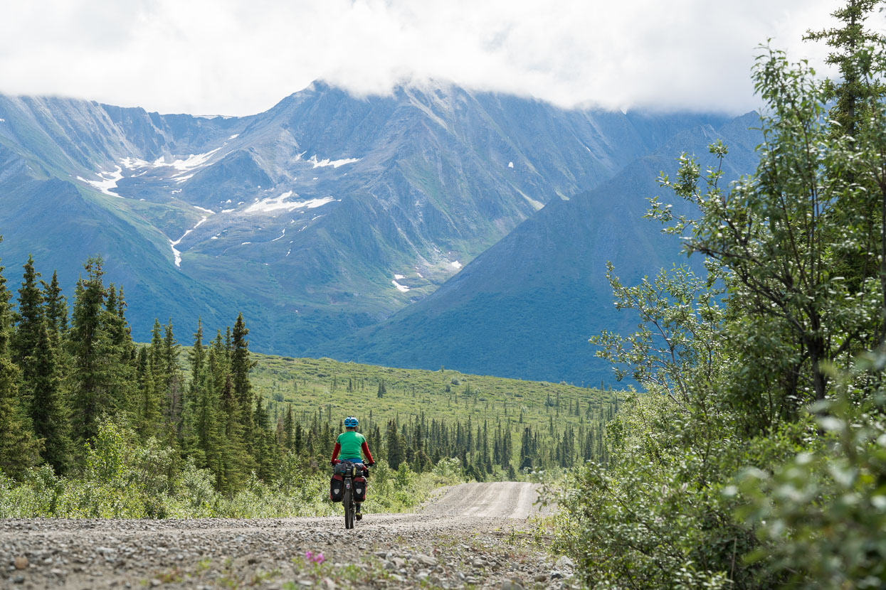
Day two on the highway: we close in on the foothills of the Alaska Range.
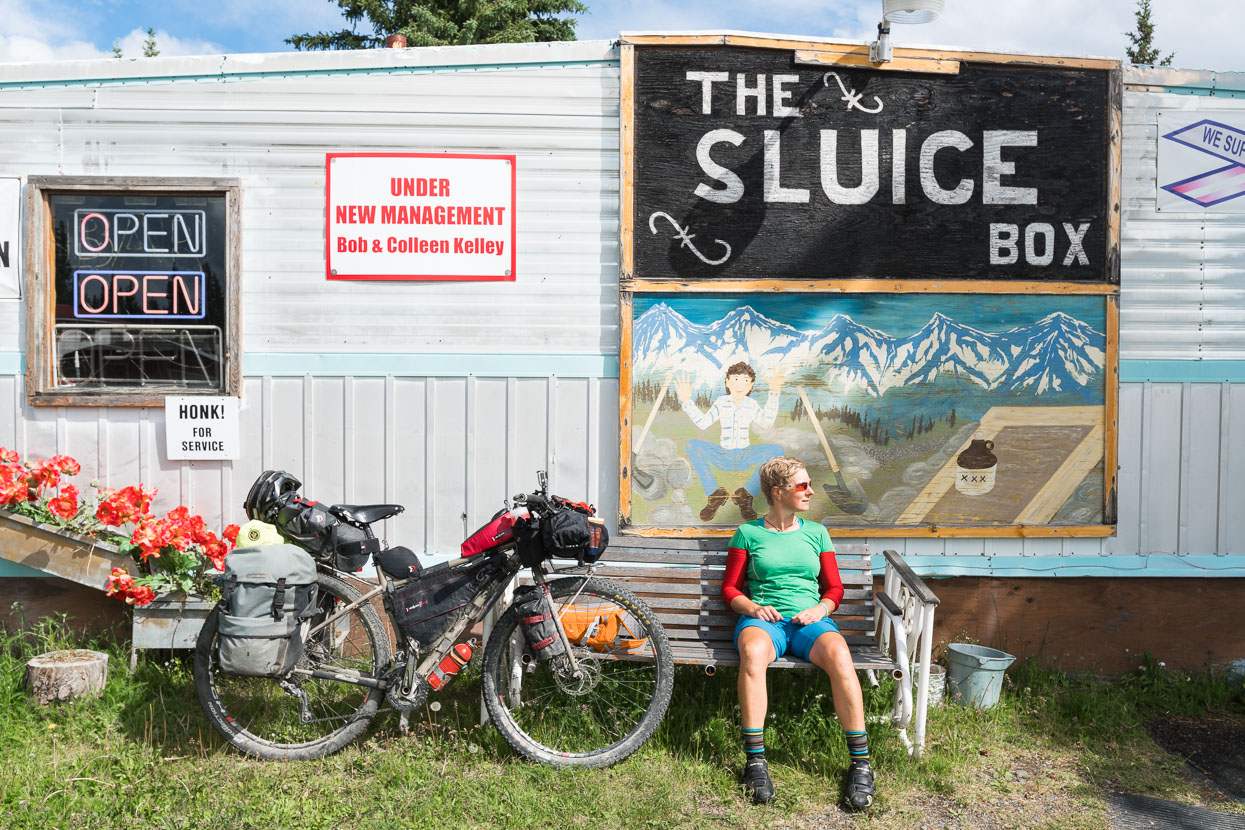
Gracious House is one of just a handful of places on the highway to get accommodation or basic food.
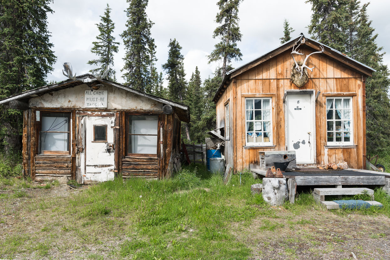
Rustic in every direction.
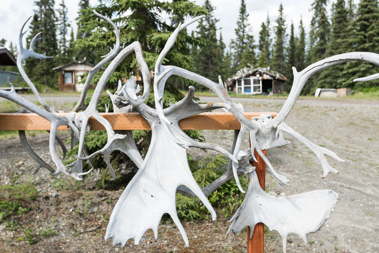
We’ve seen few animals from the road so far in Alaska. Disappointingly few. Antlers, skins, furs and examples of the local taxidermist’s skill are abundant though – making us wonder if there are actually any animals left alive within 20 miles of the road.
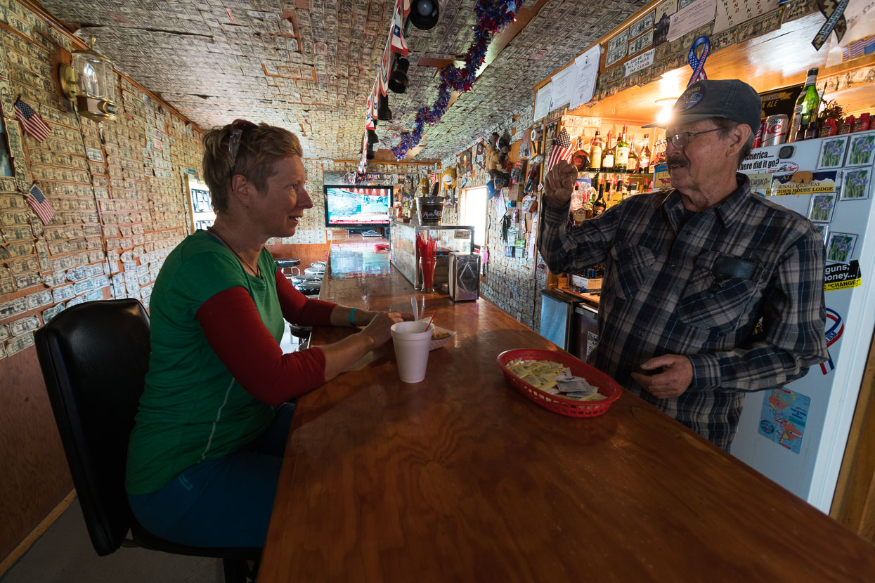
Butch Gratias, veteran bush pilot, warms us some pie and hot dogs. He’s interested in New Zealand, and staunchly conservative he tells us. Wants to get away from Obama. Hillary Clinton, no thanks. I nearly choke on my coffee when he asks ‘You don’t have any Muslims or people like that down there do you?’
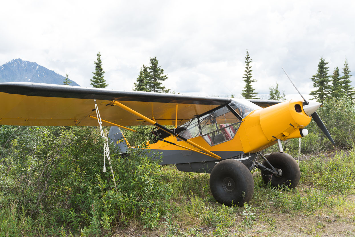
Light plane and Alaskan Bush Wheels.
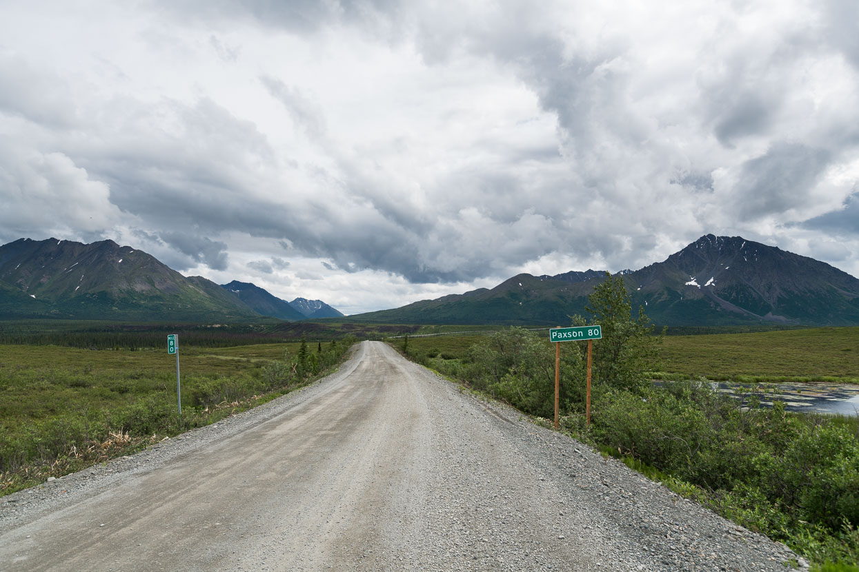
Still a ways to the end of the highway.
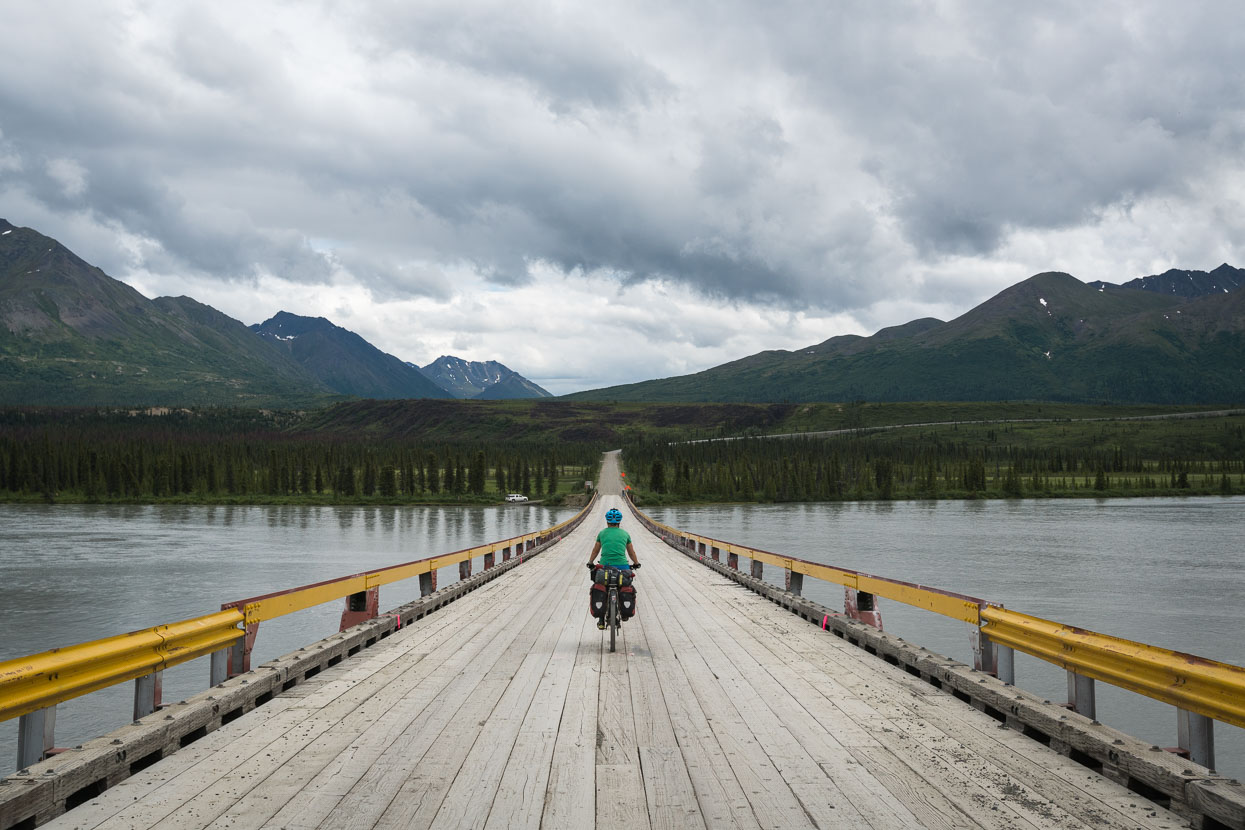
Crossing the glacier fed Susitna River; yet another impossibly big body of water.
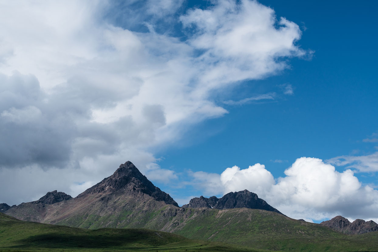
We round the end of the Clearwater Mountains and the terrain changes again.
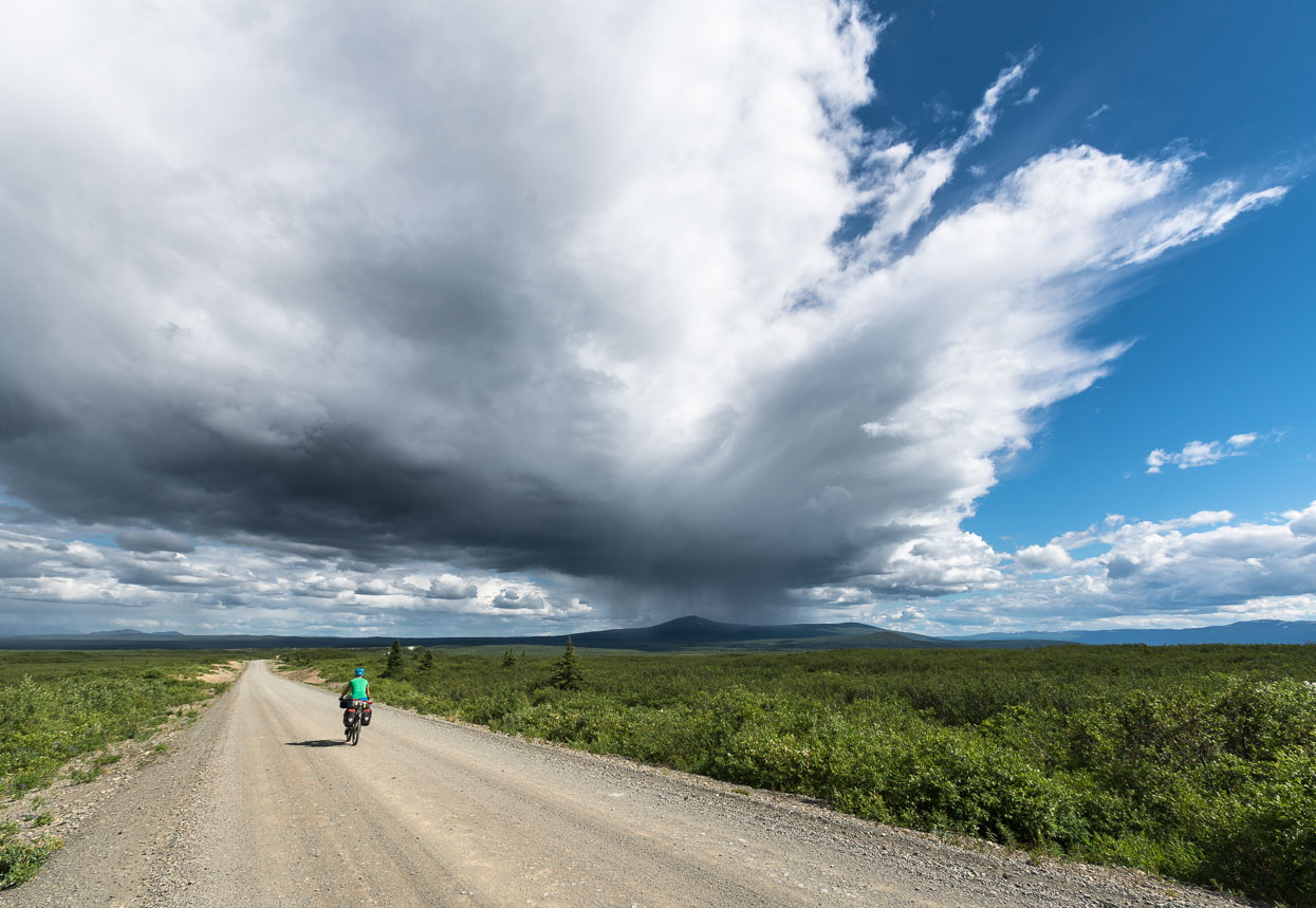
The road crosses a high alpine basin – wider than the eye can see and dotted with the tell tale features of a land formed during the twilight of the last ice age. It’s also an ideal storm brewer and we watch thunderheads morph throughout the afternoon, fortunately only catching a brief shower from the edge of a passing downpour and hailstorm.
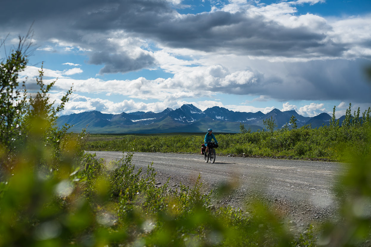
Fast riding on a great road.
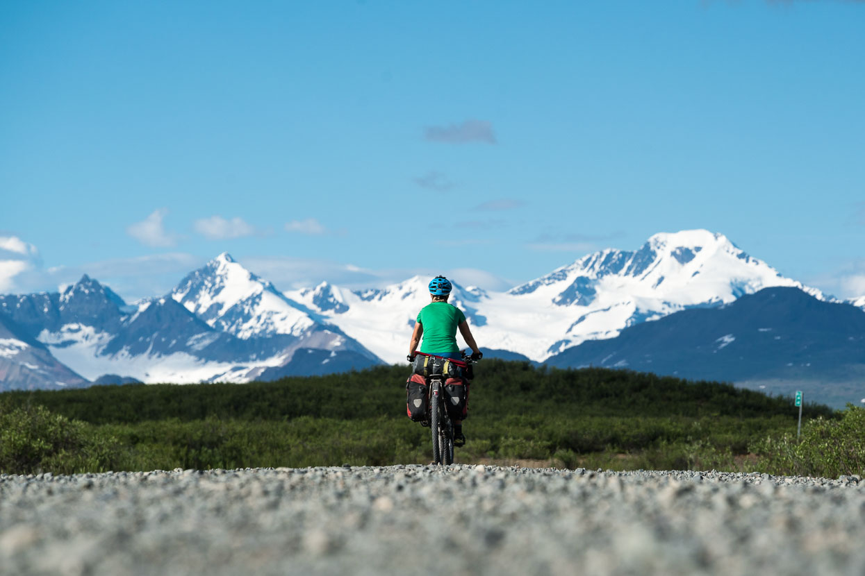
The Alaska Range as we approach Maclaren River.
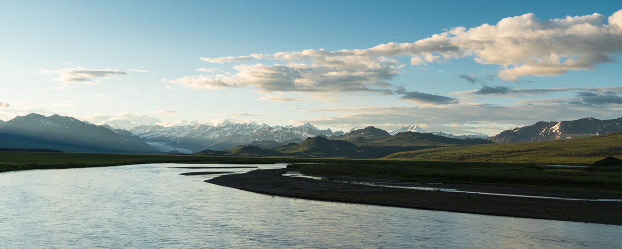
Alaska Range and evening light (10.30pm) from near our campsite at Maclaren River. The lodge here is a great stop for a burger. They also have accommodation, but optionally right across the road is a perfect, free campsite with river views.
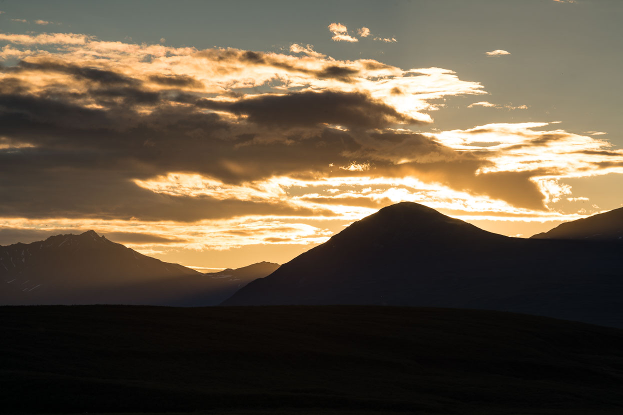
The setting sun at 11pm.
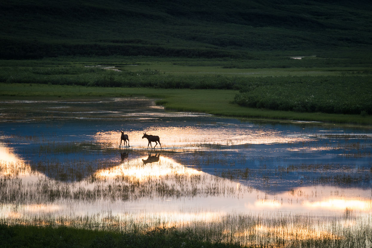
While we sat on a hill above camp two moose came and danced across a shallow lake nearby – they seemed to be enjoying the evening light as much as we were.
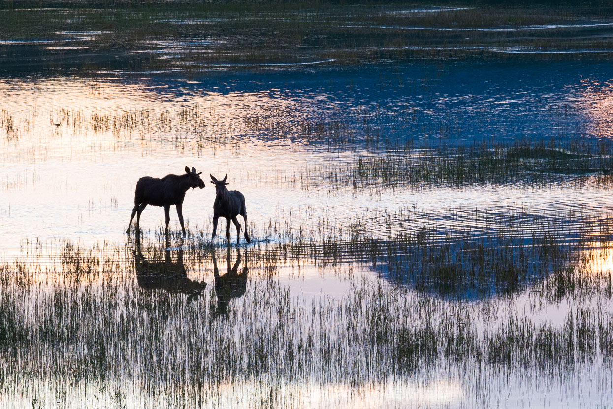
Until startled – at which point they galloped back across the lake to the cover of the scrub.
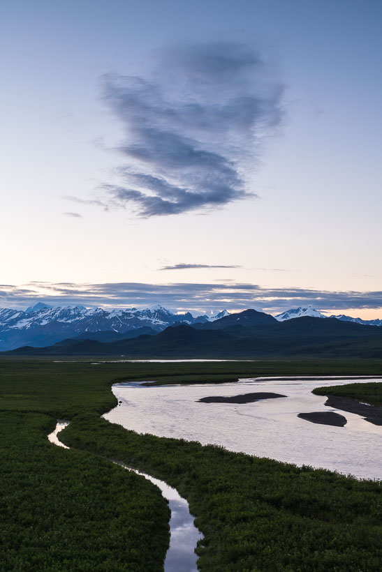
Midnight cloud above the Maclaren River and Alaska Range.
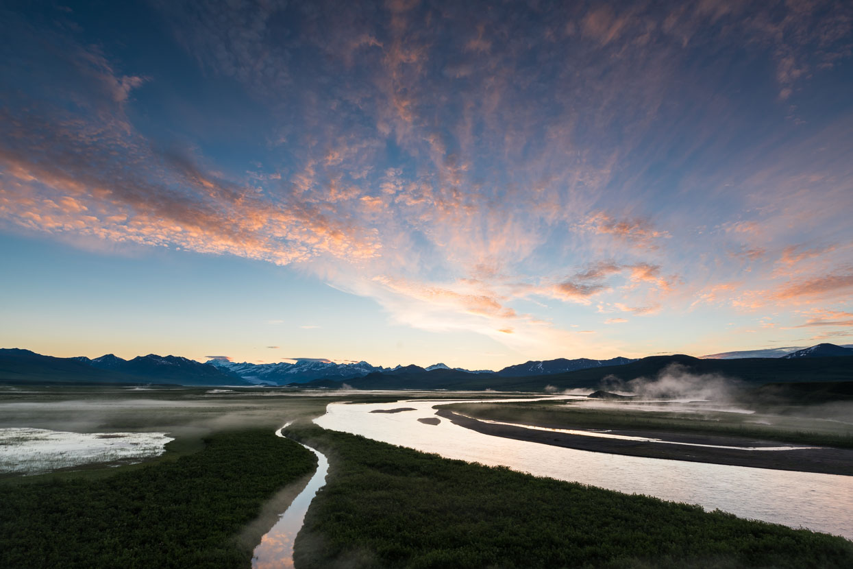
A peep out of the tent door at 3am revealed some nice cloud shortly before dawn so I scurried back up the hill to catch the best of the morning light. Mist wafted from the shallow waters and all was silent and still, except for a beaver going about his work in the channel below me.
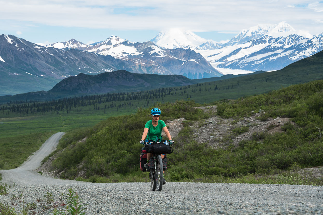
From camp we crossed the river and climbed for several kilometres to the saddle at Maclaren Summit. Mount Deborah (3761m) and Hess Mountain (3639m) in the background.
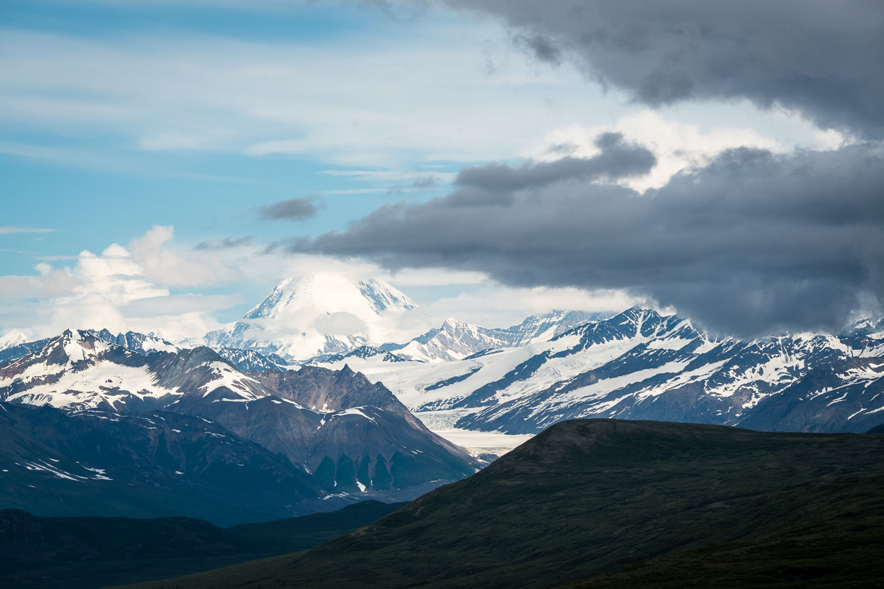
Mount Deborah.
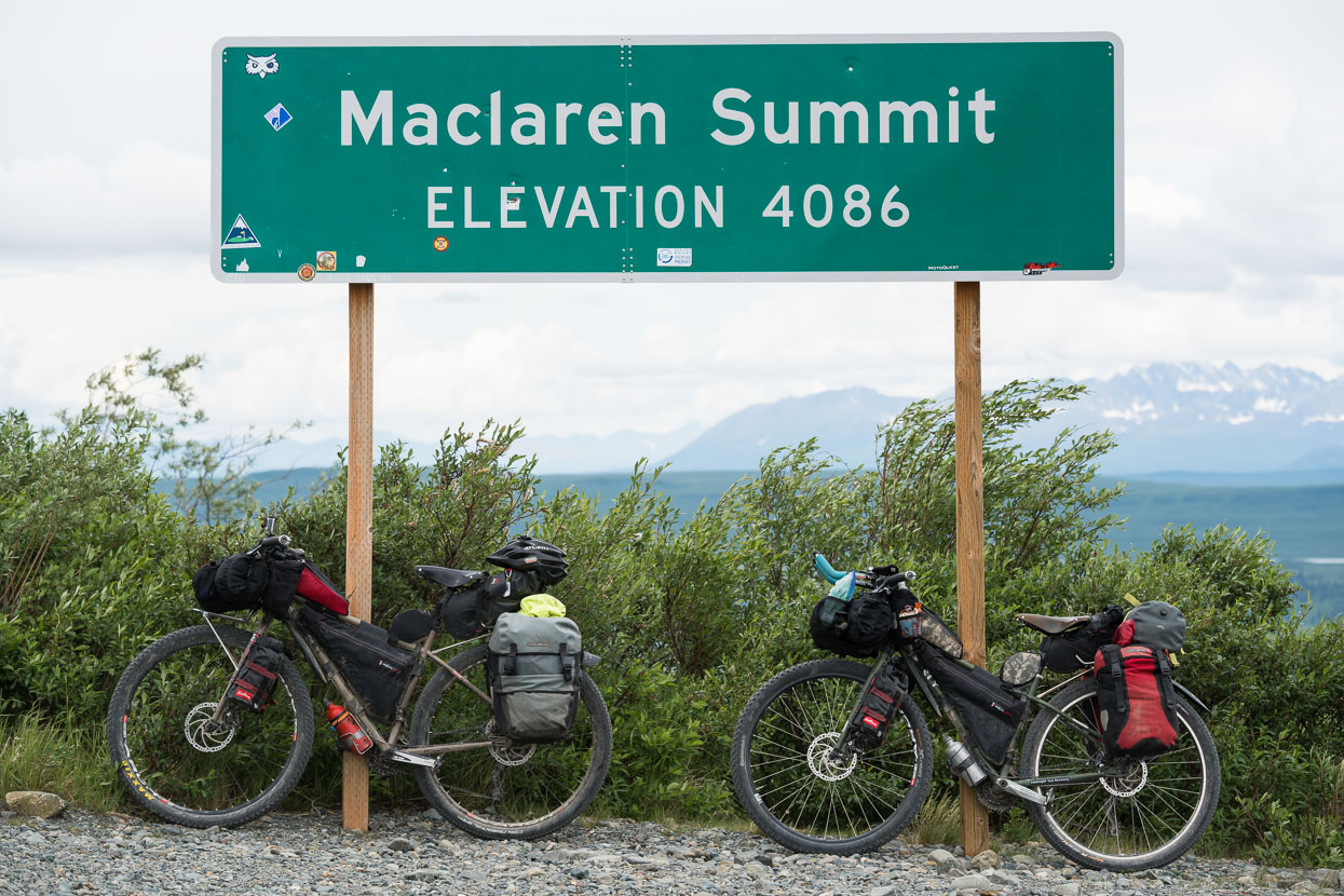
From Maclaren Summit we had another 60 km of hilly riding and then a great descent to Paxson at the Richardson Highway. But it was heads down in steady rain for much of the way.
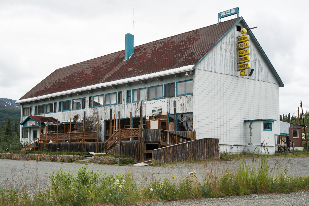
In a time when cars were less fuel efficient Paxson may have been a fine stop – the cocktail lounge would certainly have been tempting. But like many former Alaskan roadhouses, the site’s abandoned these days, so we pedalled on, stopping briefly at a rustic roadside diner further down the road.
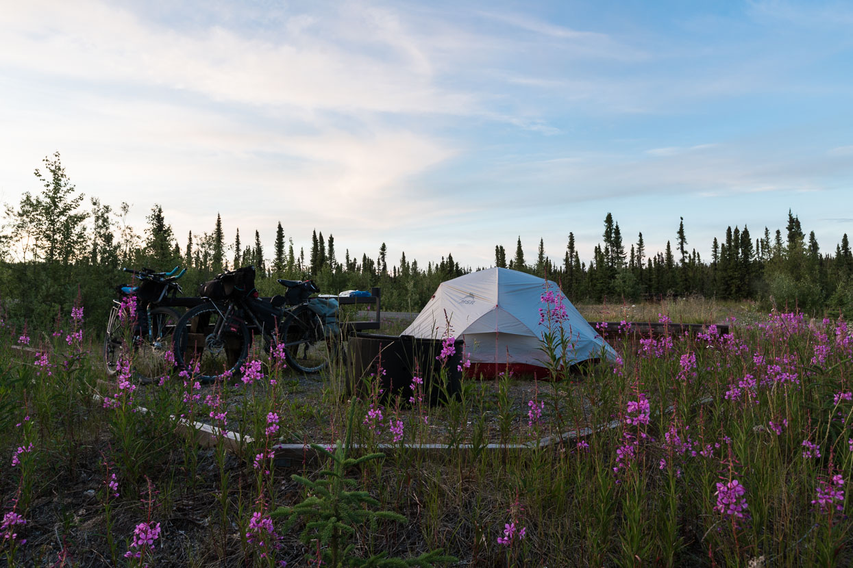
The day ended after 129.5 km at Sourdough Camp, a basic BLM campsite. A great stop for the evening with the fireweed out and the sky clearing.
The Nuts & Bolts
⊕ The Denali Highway from Cantwell to Paxson: 217 km.
⊕ The map shows the full ride of our third day out to Sourdough Creek (129.5 km – or 283 km total from Cantwell).
⊕ There are many informal camping sites along the way, although water is sometimes scarce – fill up when you can and plan accordingly for camping.
⊕ A few roadhouses punctuate the trip, most have accommodation and food (dinner and/or snacks) – refer to The Milepost for locations.
⊕ You might hear occasional very loud ‘explosions’: they’re fighter jets from nearby military bases going supersonic during exercises overhead. Definitely alarming the first time you hear them.
Thanks to Biomaxa and Revelate Designs for supporting Alaska to Argentina.



Epic trip Mark! Sweeping country. Al Cutler and Jo Haines are just back from a “trifling” trip from Mexico to Canada. Pedalling looks warmer for you now!
Thanks Neil! Do Al and Jo have a blog we can check out?
Here’s their web blog address: http://www.alberttown.co.nz/category/gdmbr-usa/
Best thing you don’t do is to look at the map of the Americas… just too daunting in some ways! But then again you’ve got some fantastic adventures / people / scenes ahead. Keep those pedals winding over and look forward to those blue skies…